







Hochsiedelrunde
Úroveň náročnosti: 2
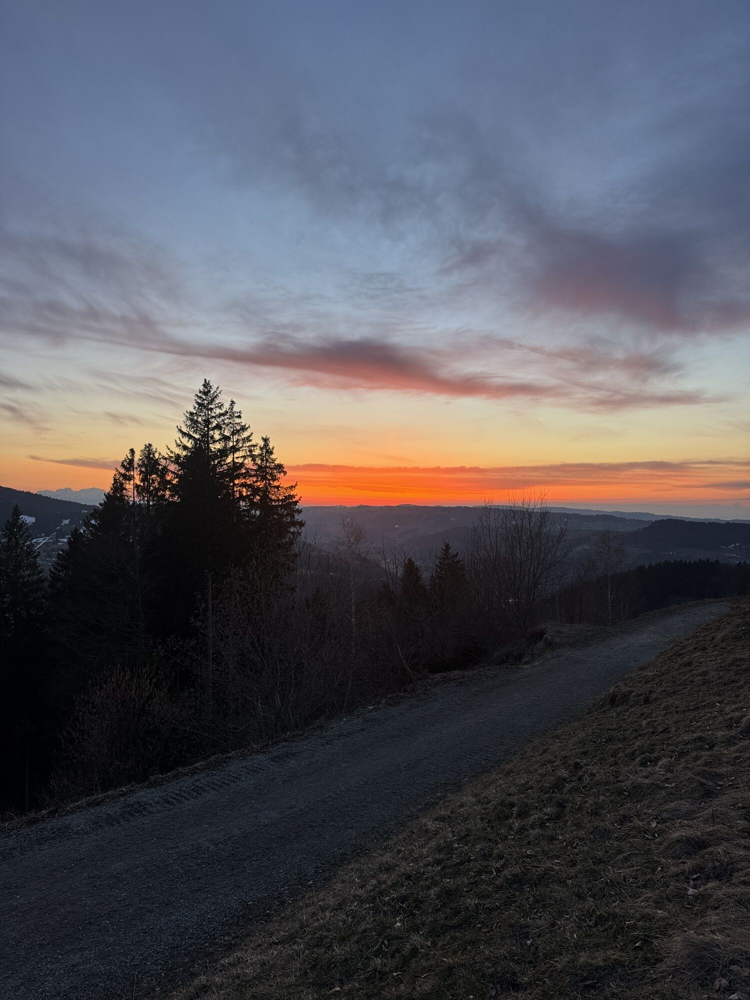
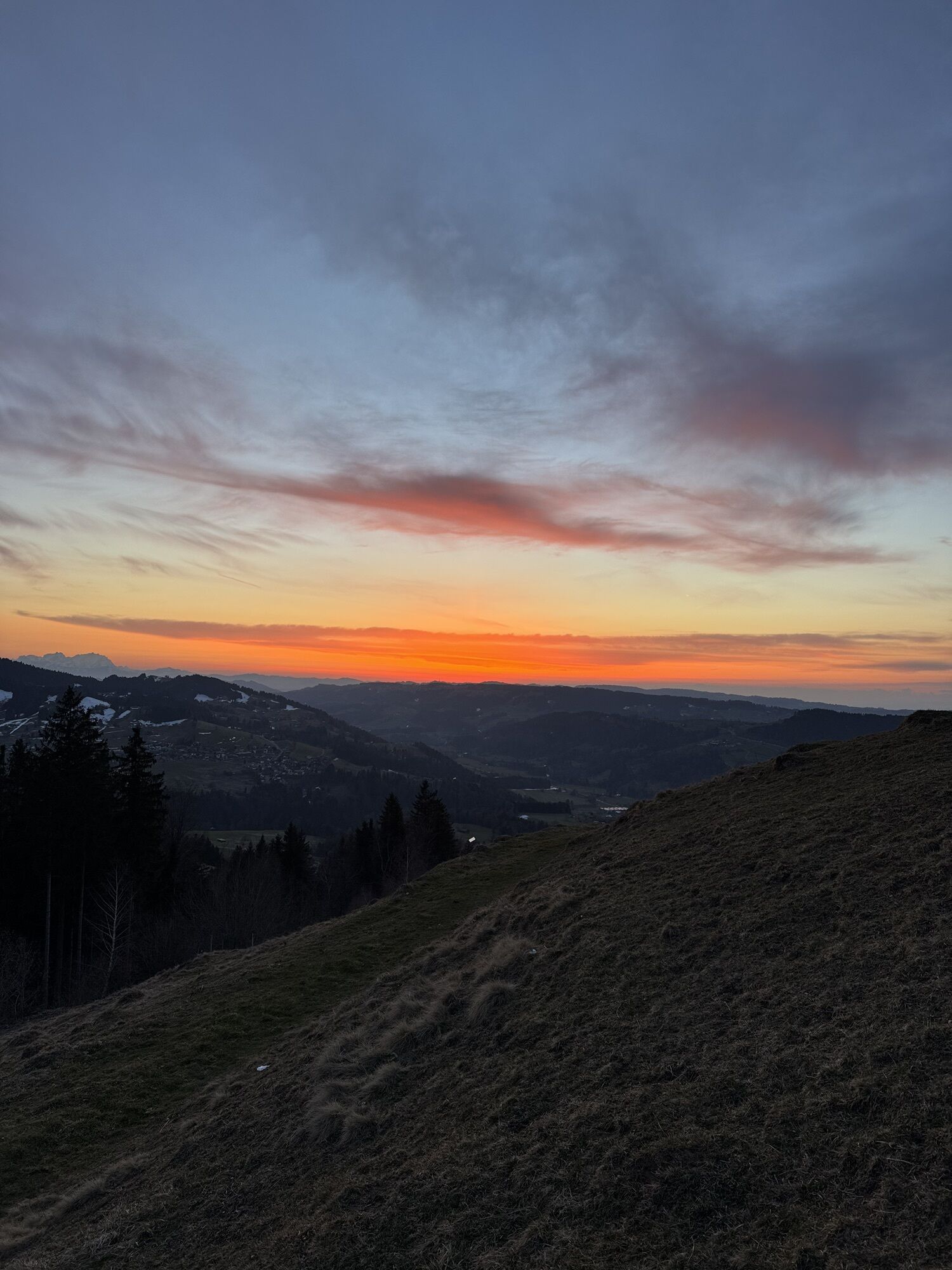
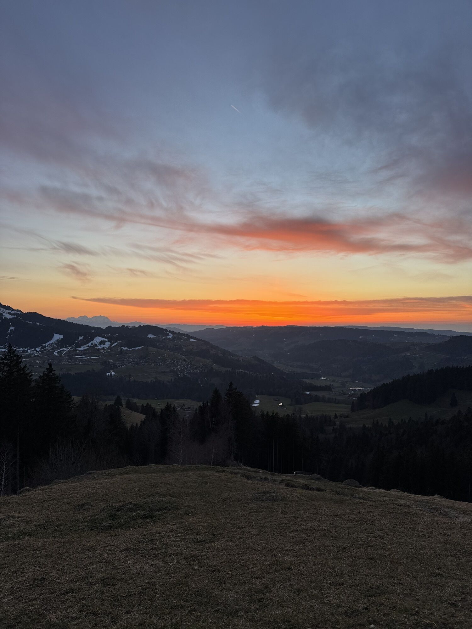
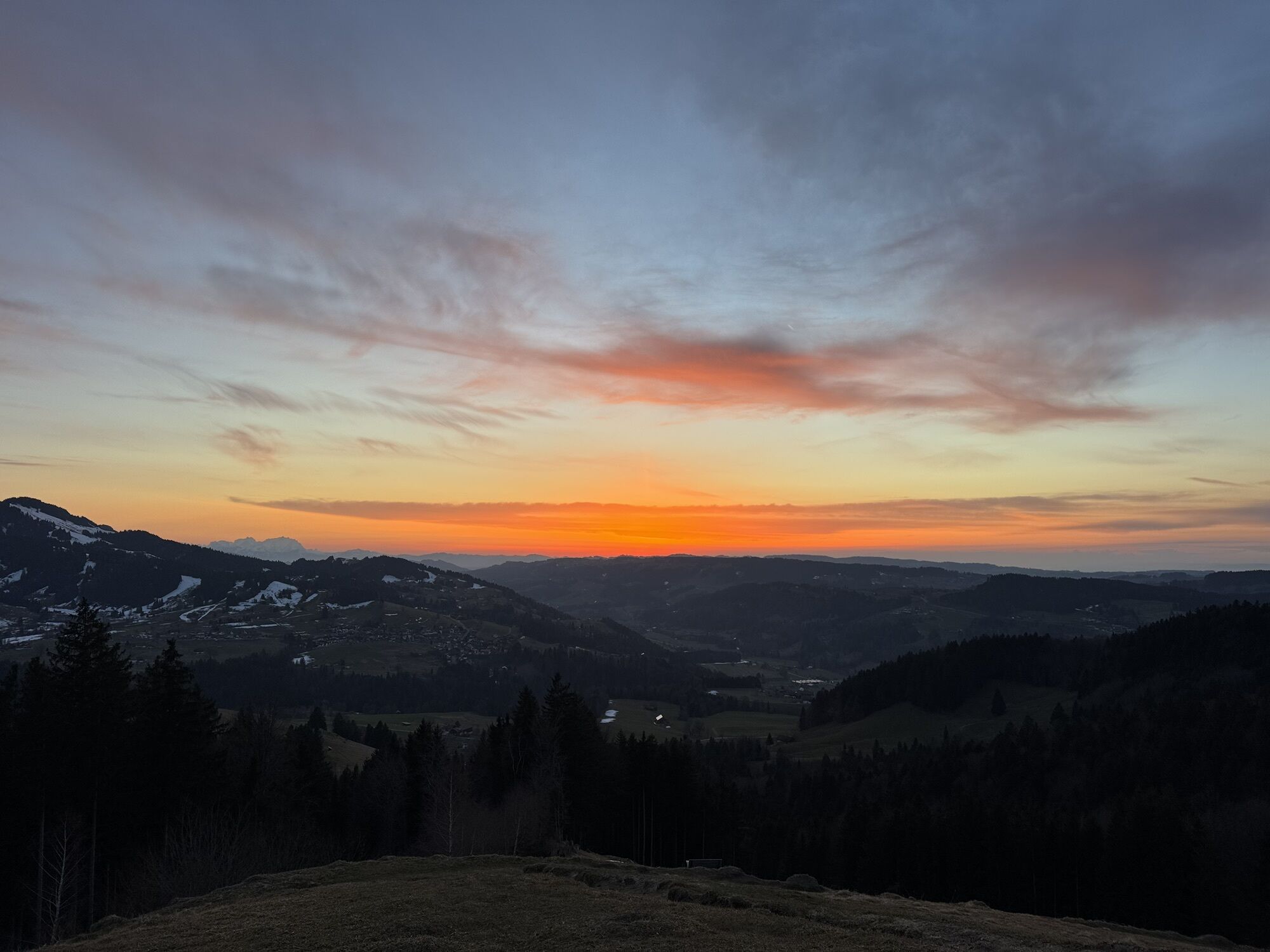
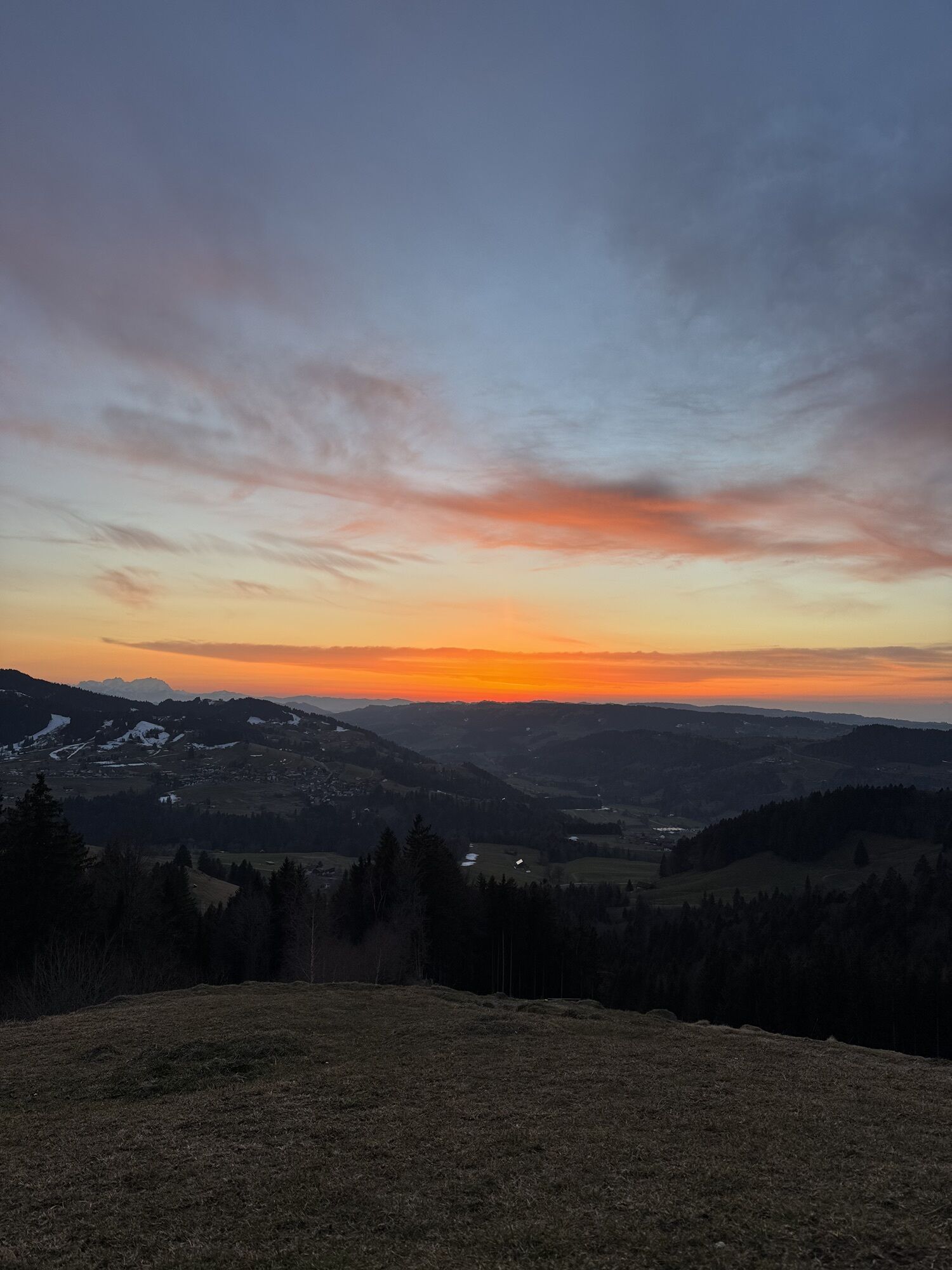
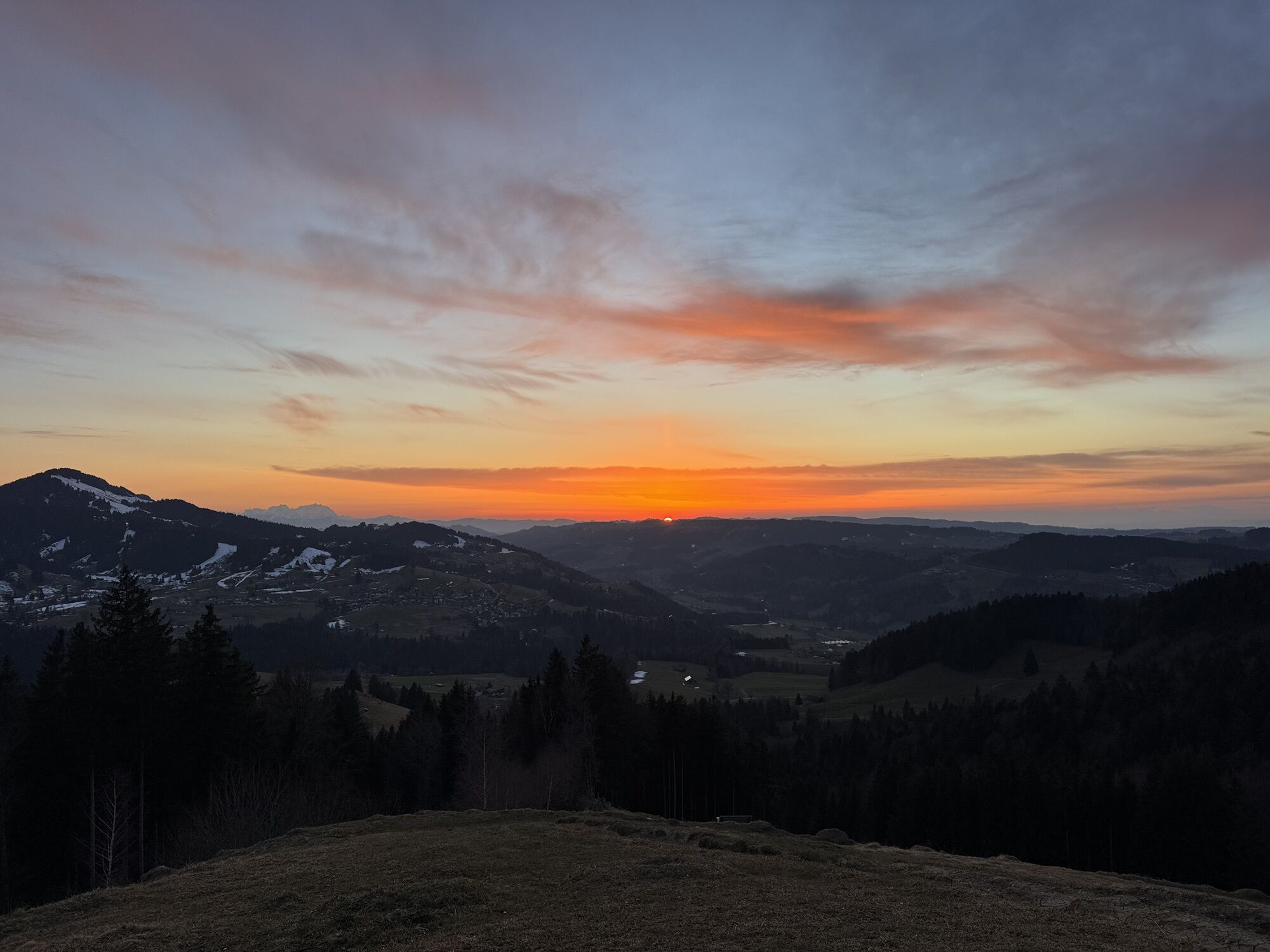
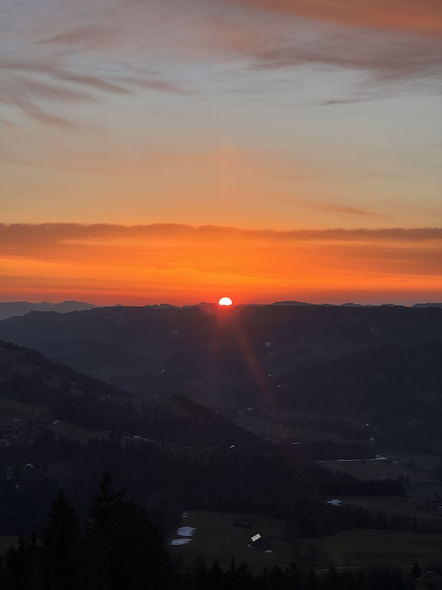
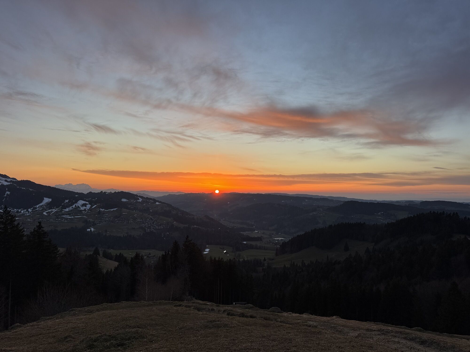
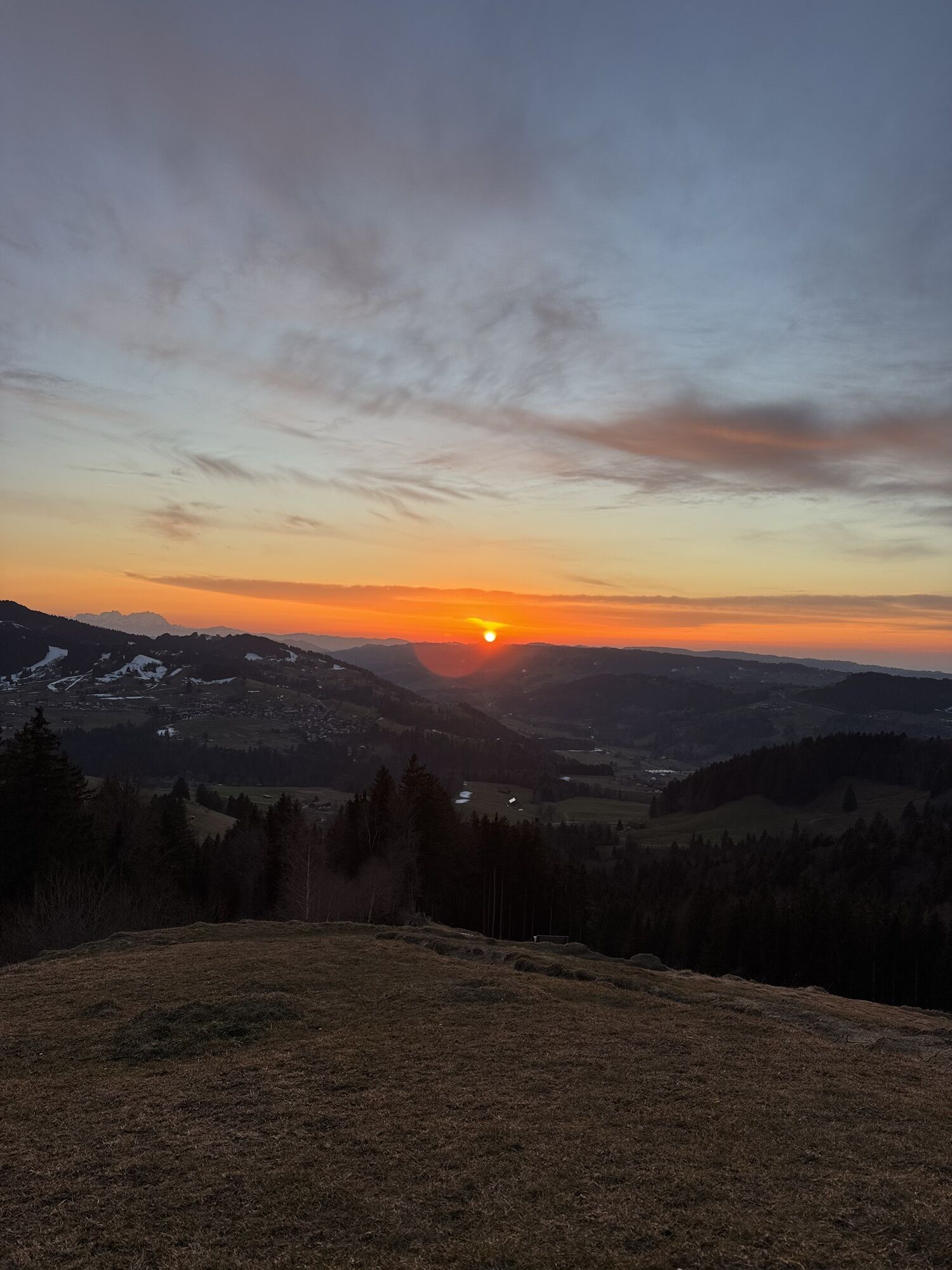
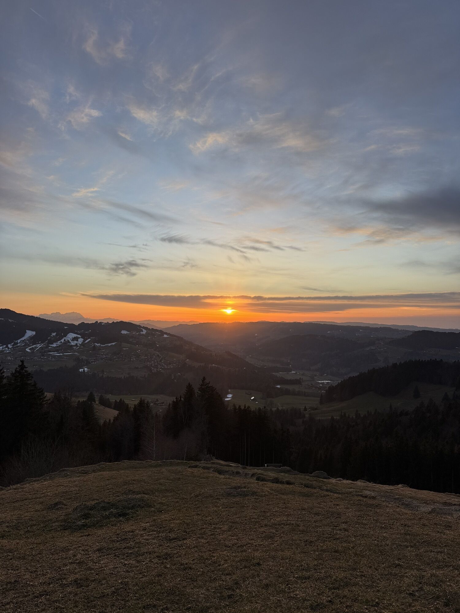
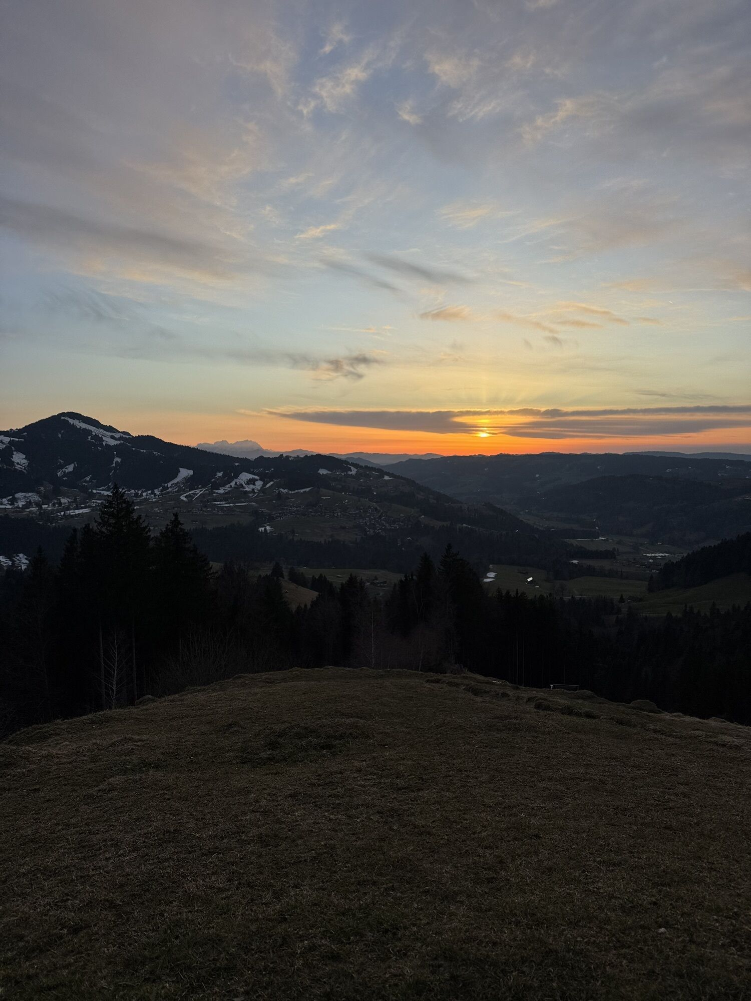
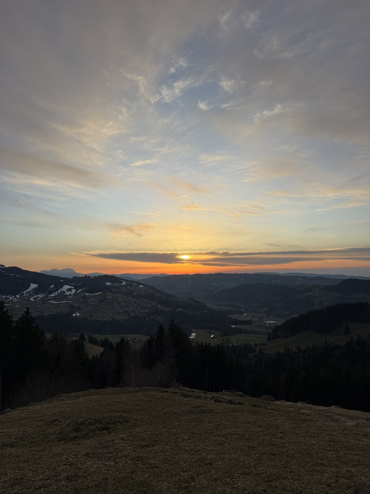
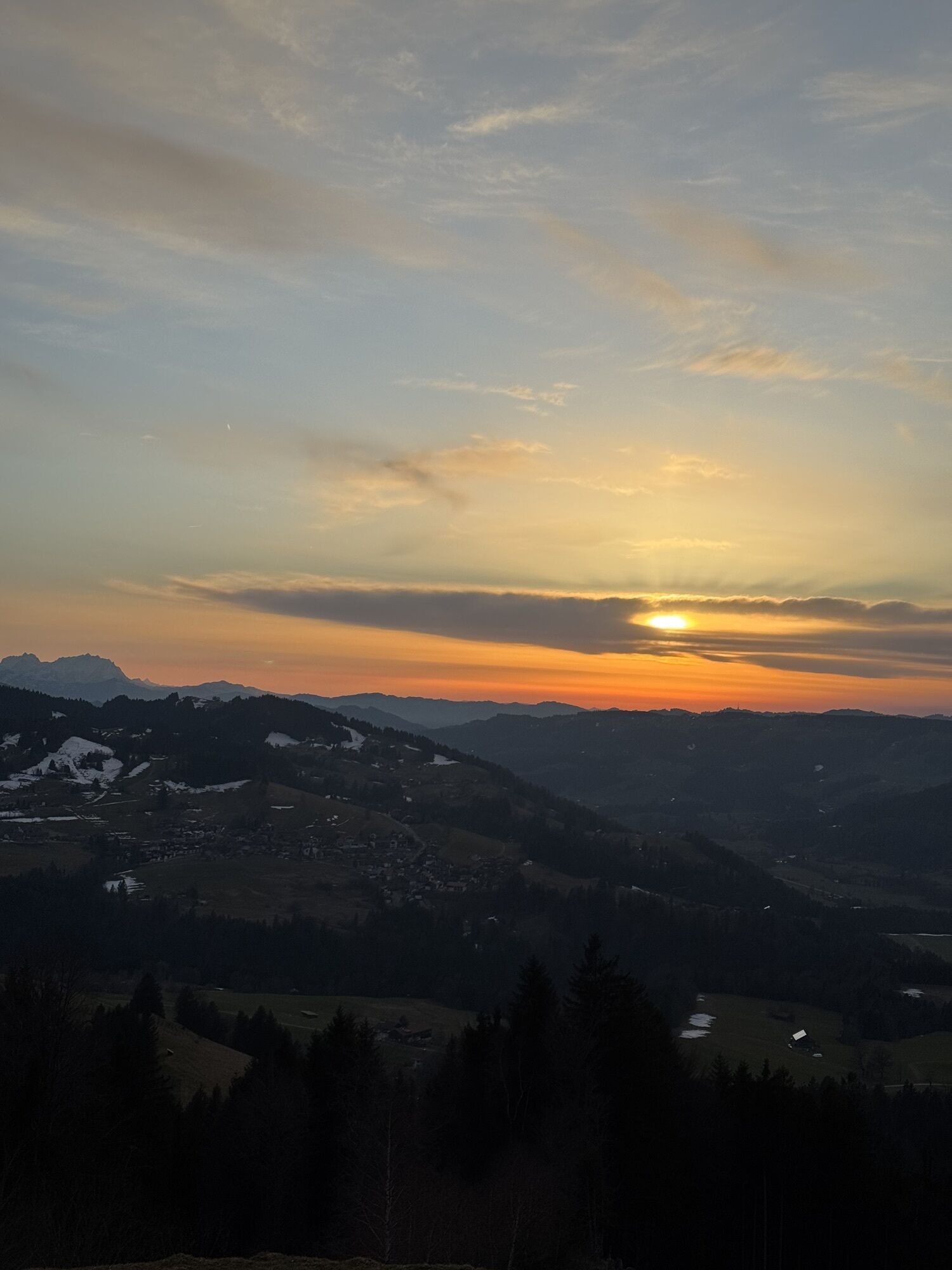
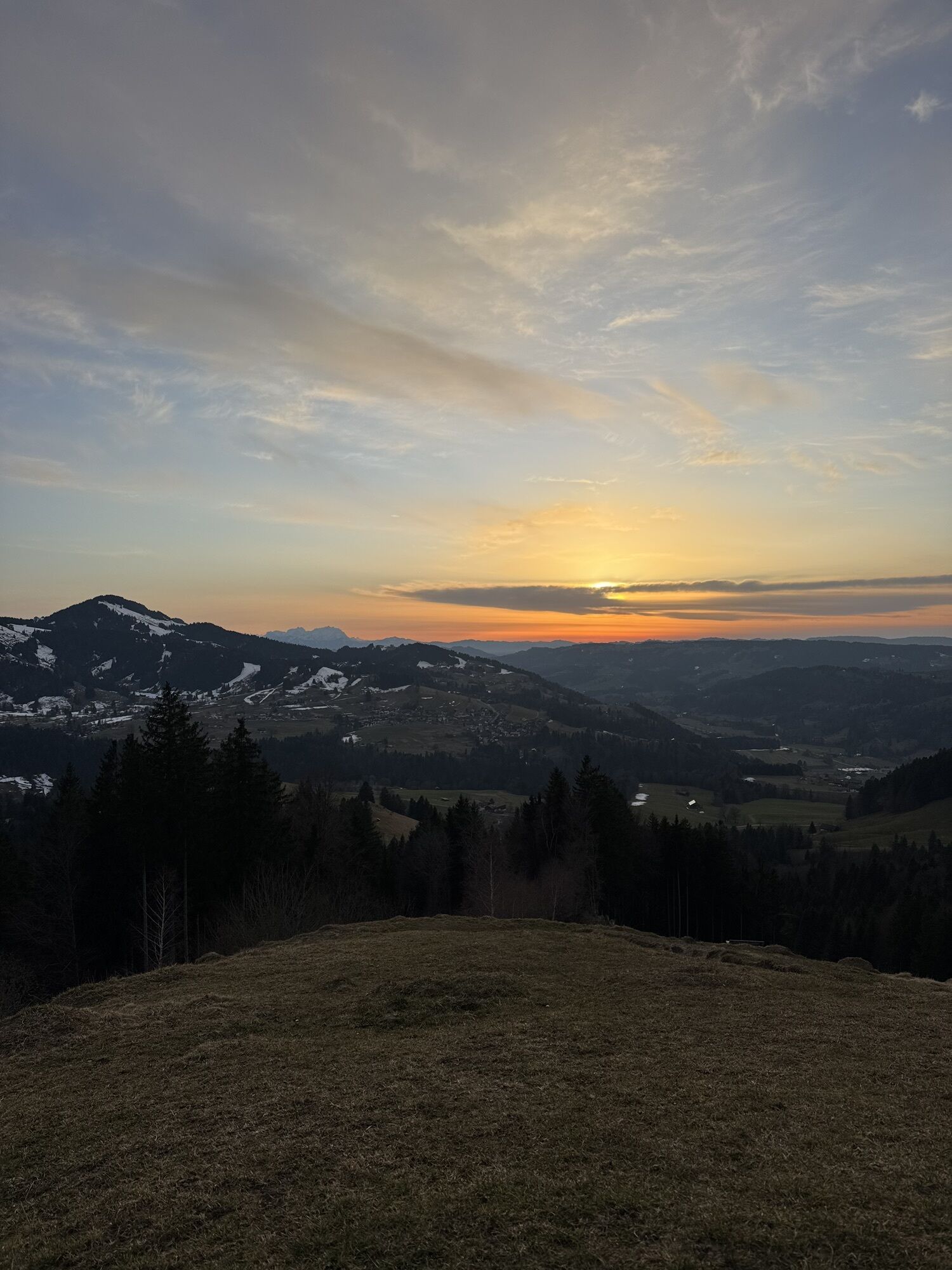
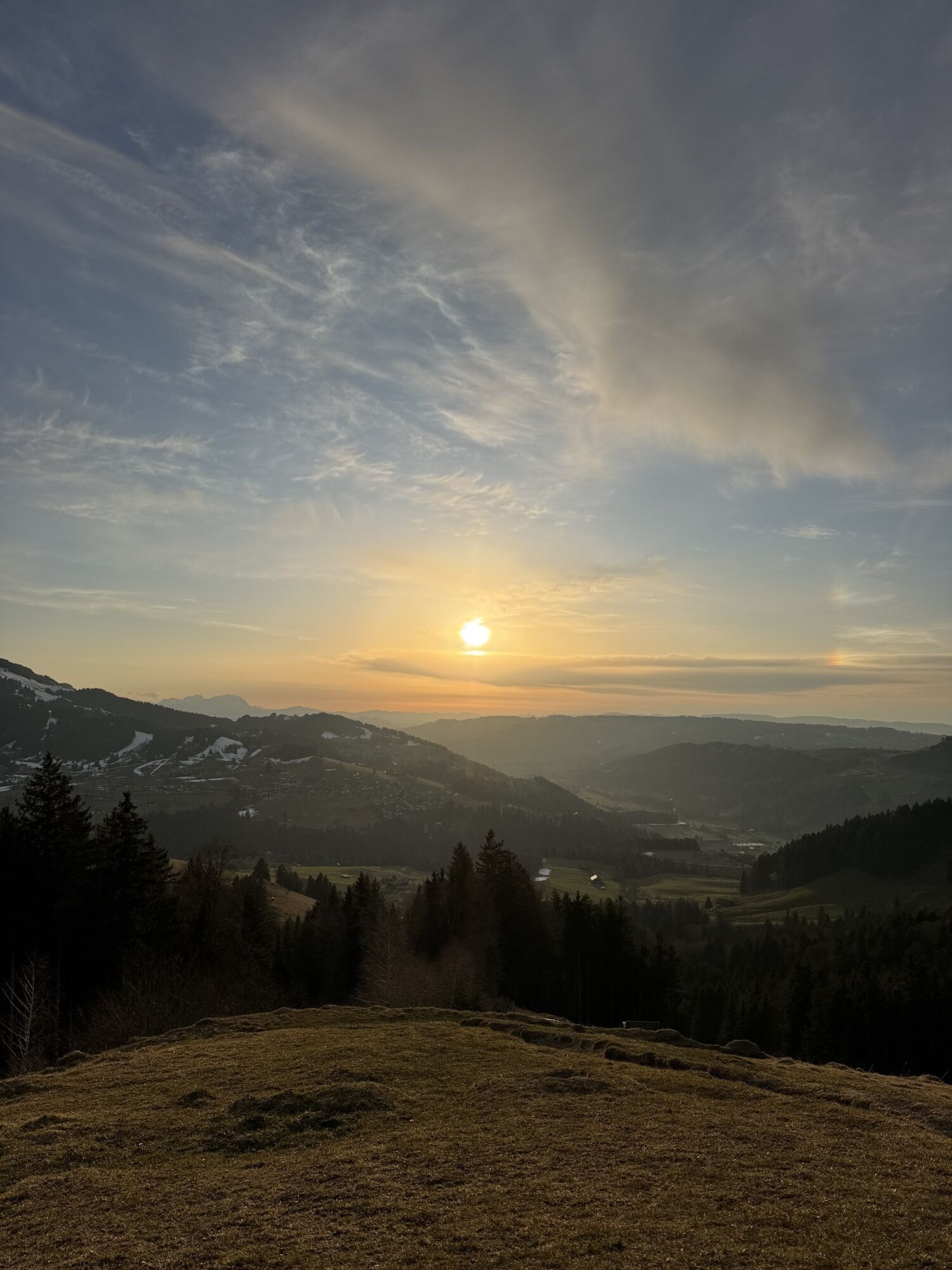
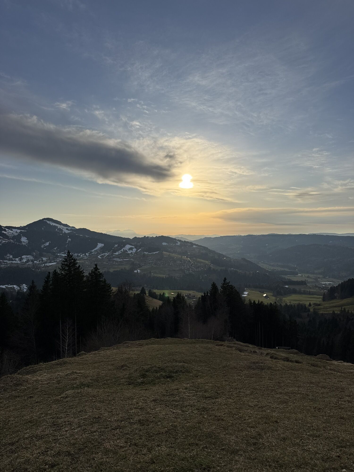
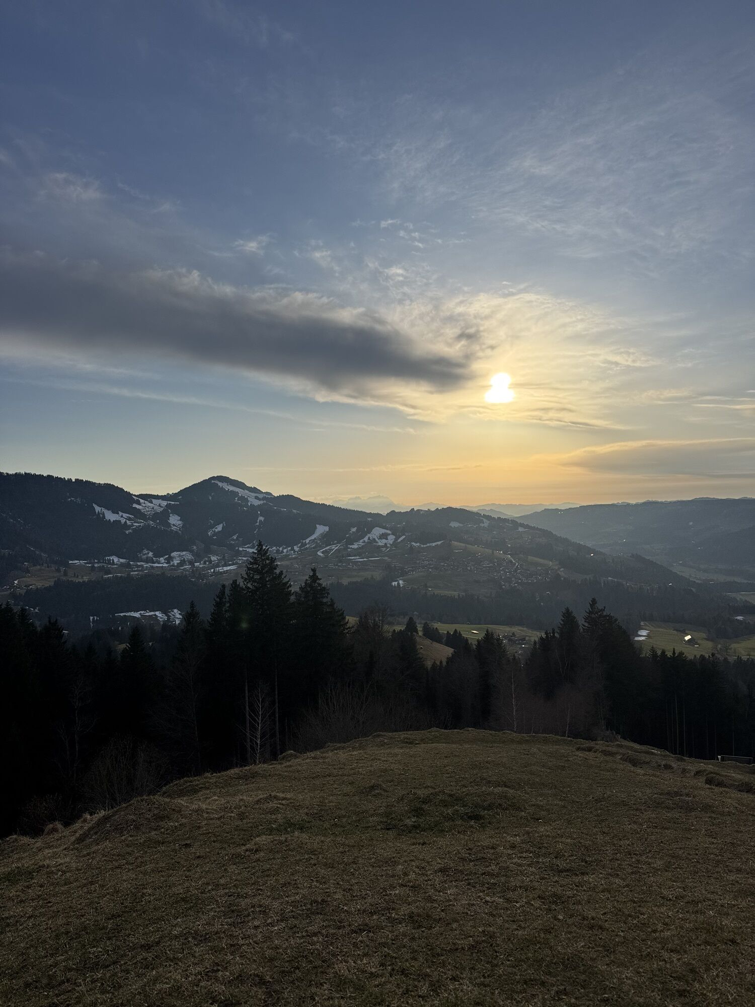
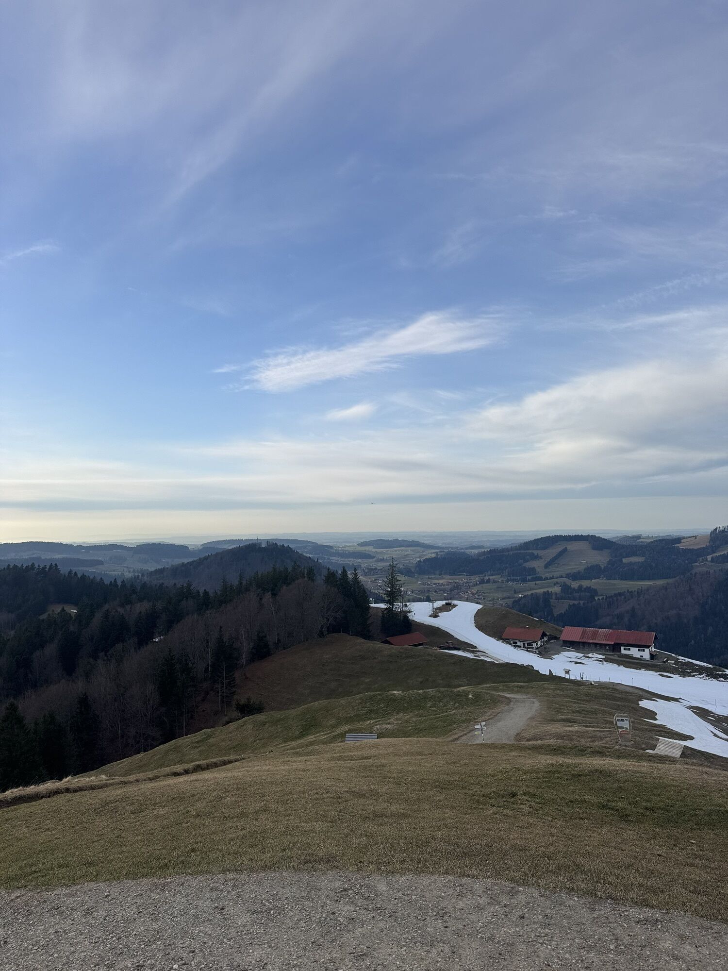
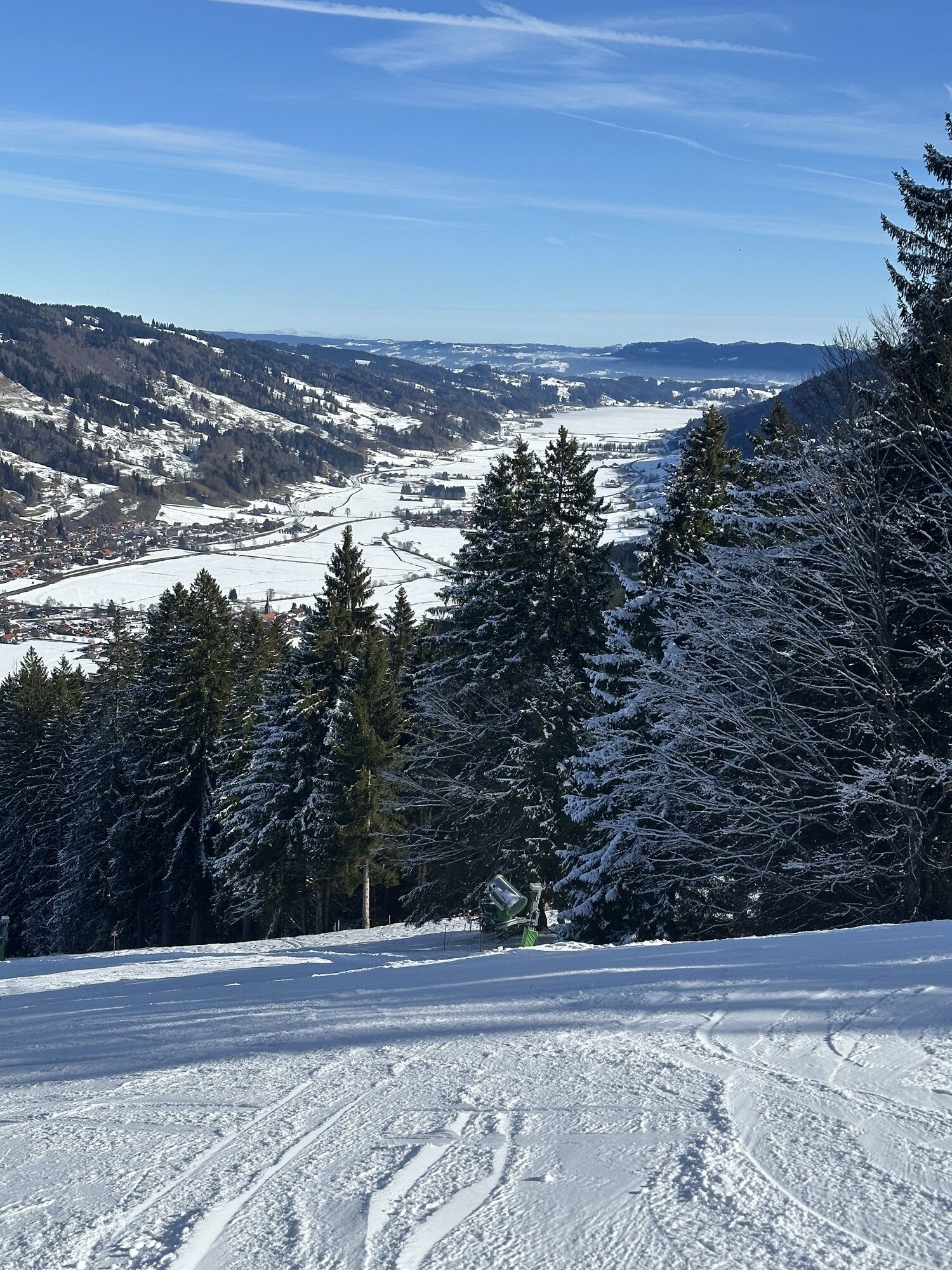
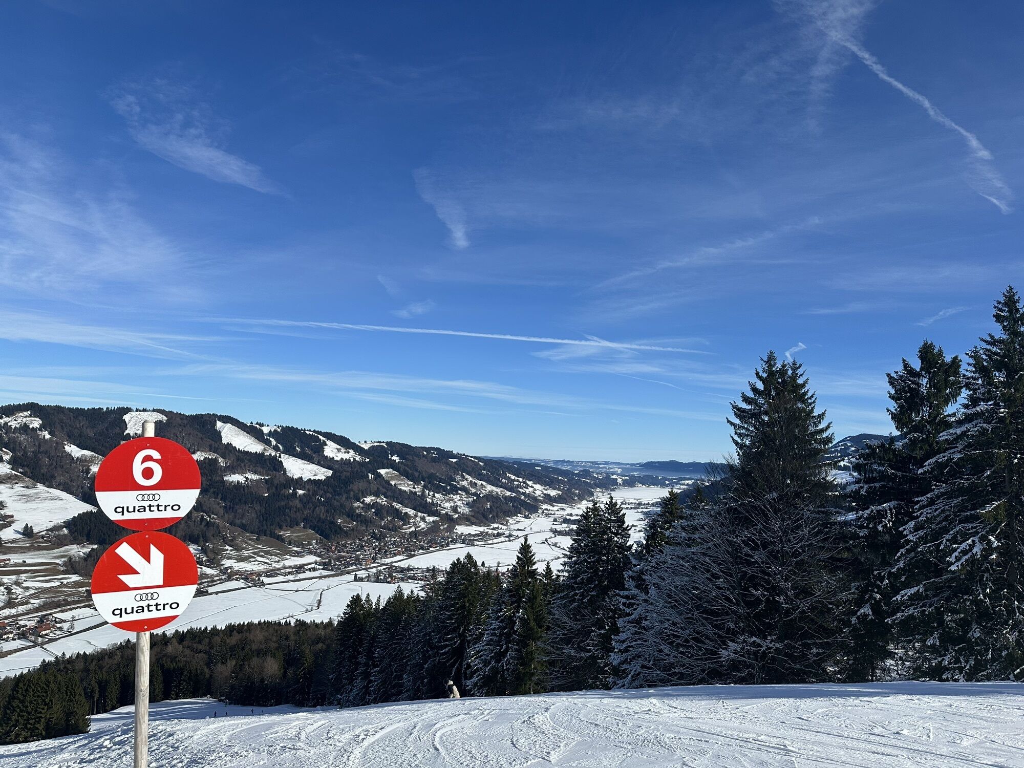
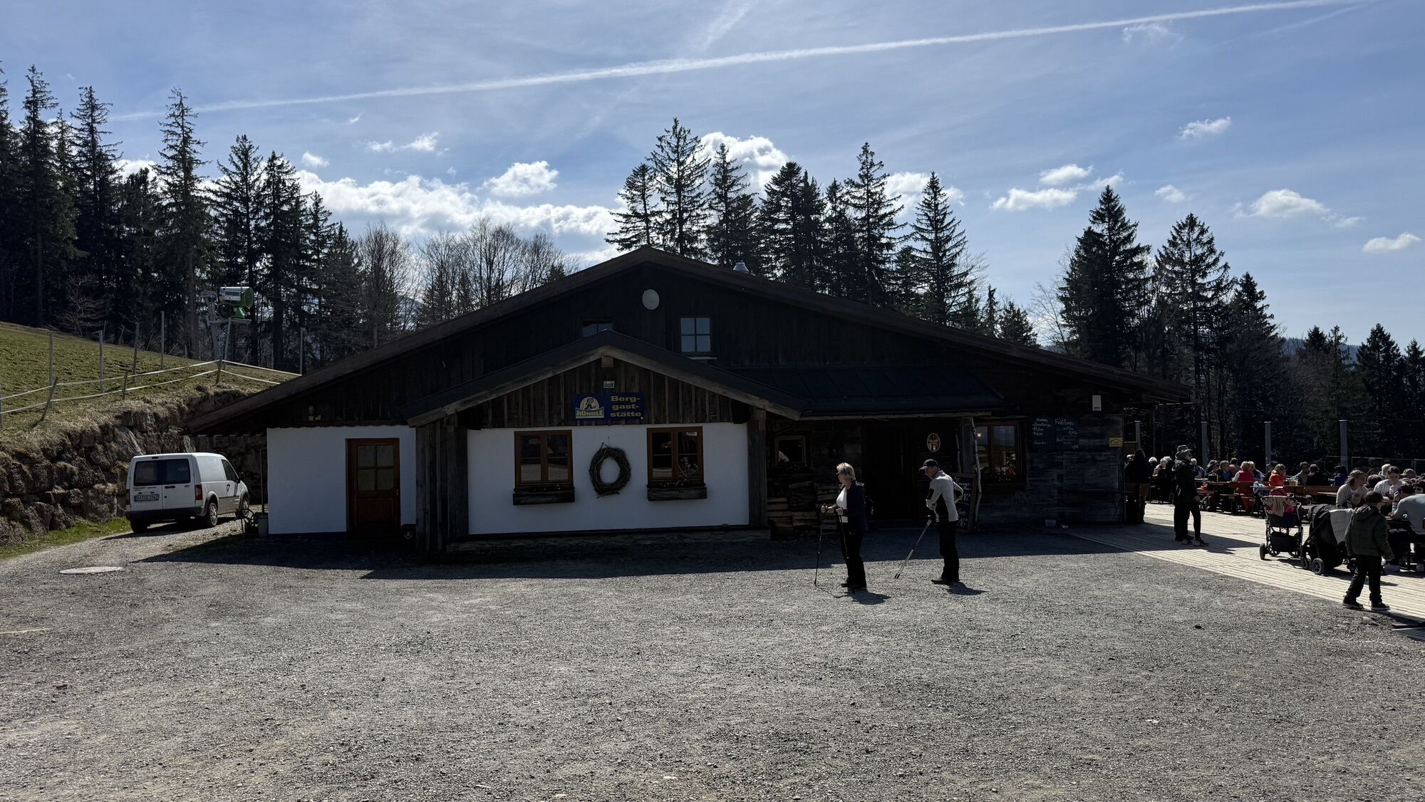
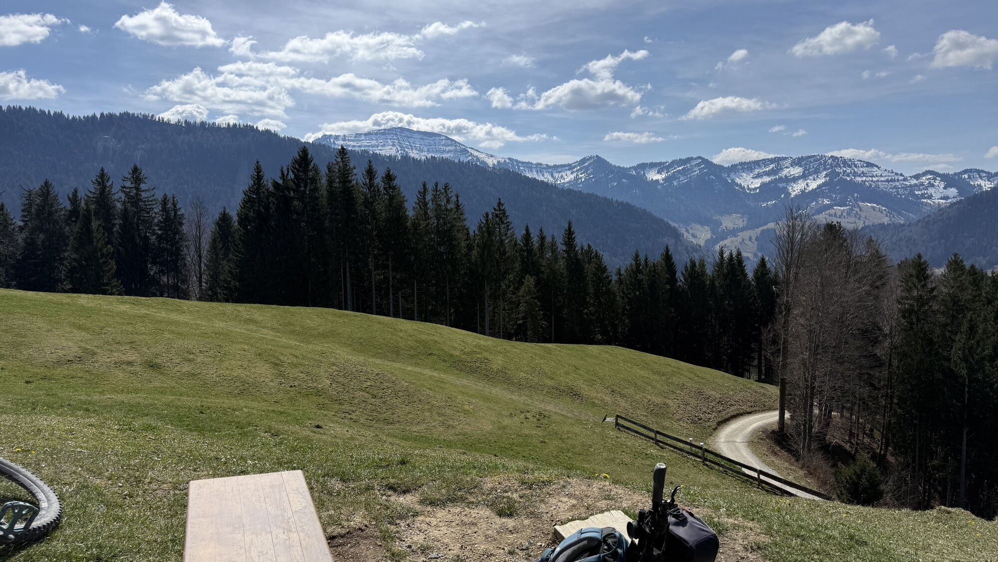
The route begins at the mountain station of the Hündlebahn. Those who want to can use the cable car to ascend – the fitter ones can hike from the valley station on foot. The seven-kilometer-long Hochsiedelrunde...
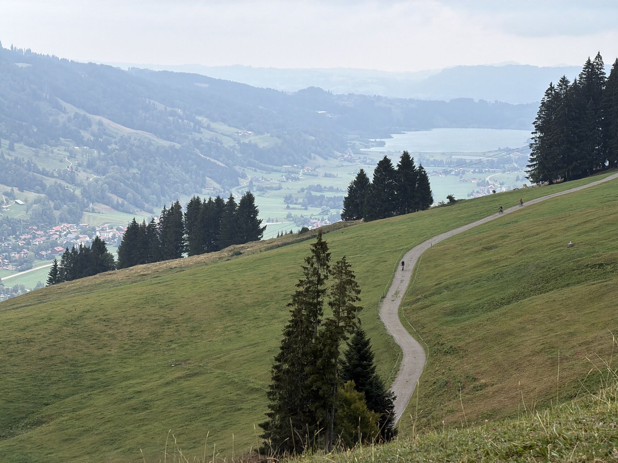
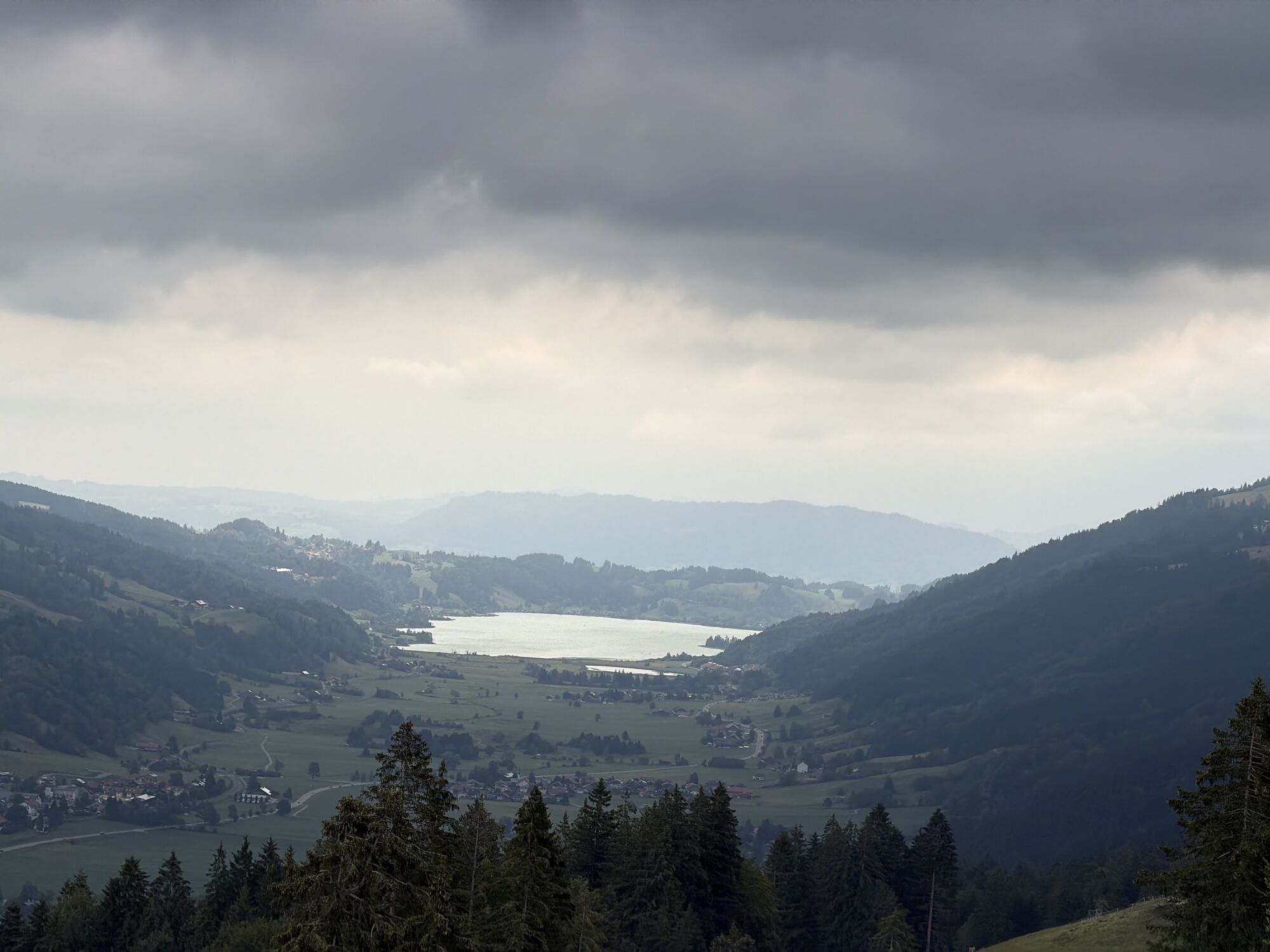
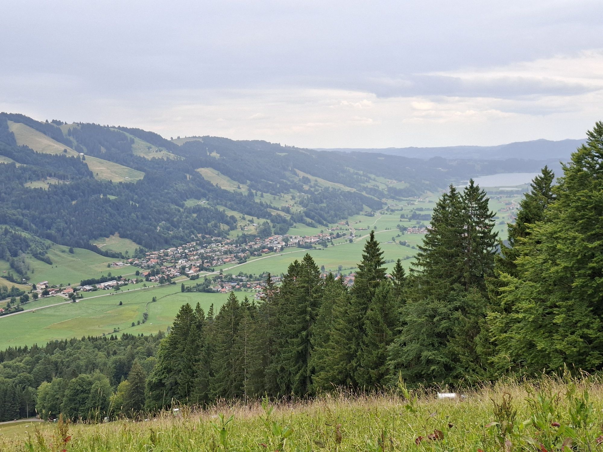
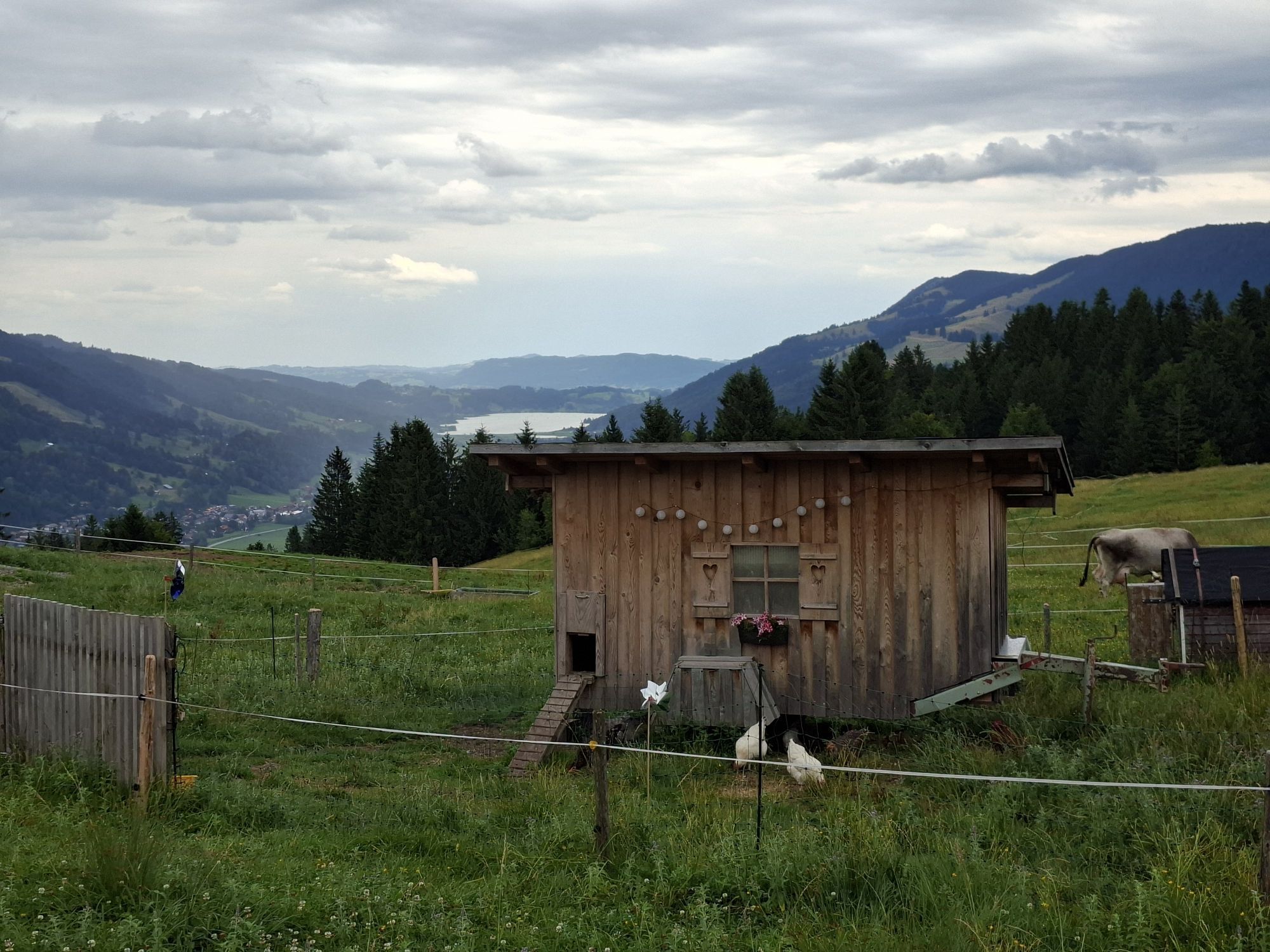
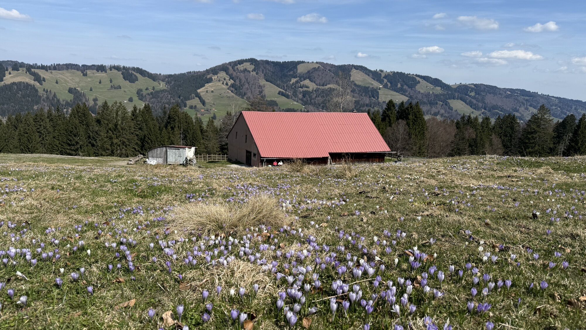
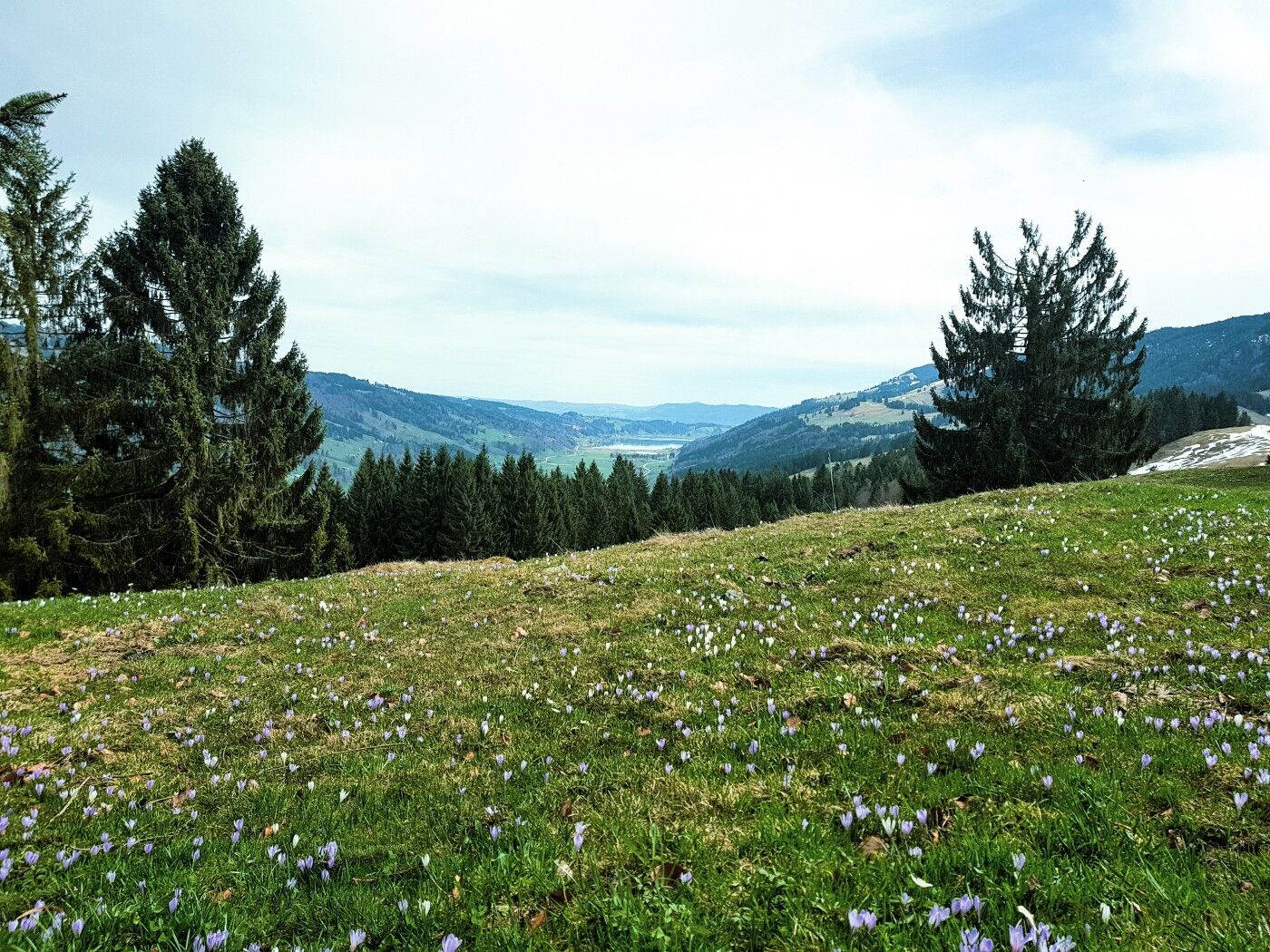
The route begins at the mountain station of the Hündlebahn. Those who want to can use the cable car to ascend – the fitter ones can hike from the valley station on foot. The seven-kilometer-long Hochsiedelrunde first passes the Obere Hündle Alpe (an alpine dairy with its own cheese production) and continues through lush mountain meadows to Hochsiedel-Alpe. On this section, you enjoy stunning views of the Alpsee. An unforgettable visit is during the crocus bloom (usually in April), when a blue sea of crocuses shines on both sides of the Hochsiedel-Alpe. After a steep descent at the Teufellift, the path turns right through the picturesque Fuchslöcher and continues on a developed trail past the Ochsenschwand Alpe and Tura Alpe. A narrow mountain path then leads the walker steeply uphill over the Bärenschwand Alpe to the Hündlekopf at 1,111 meters elevation. From the summit cross, you enjoy a panoramic view in all directions. Just a few minutes later, you reach the starting point of the mountain station. Those who want to avoid the descent on foot can return by cable car to the valley.


Mountain station Hündlebahn - Alpe Obere Hündle - Hochsiedel Alpe - Fuchslöcher - Ochsenschwand Alpe - Tura Alpe - Bärenschwand Alpe - Hündlekopf - Mountain station Hündlebahn
Hündlebahn at the B 308
Parking at the Hündlebahn
2
In spring, you experience the wild crocus bloom around the Hochsiedelalpe on the route.
Získajte prehľad
Vždy naživo na mieste s viac ako 9 500 webovými kamerami. bergfex Ako používateľ Pro si teraz môžete pozrieť príslušné webové kamery pre mnohé zájazdy v aplikácii zájazdy z. Môžete si tak priamo prezerať aktuálne podmienky.
Obľúbené výlety v okolí
-
4,6
Steibis - Buchenegger Waterfalls
strednáTuristika 6,47 km -
4,6
Hittisau | Wasserwanderweg
svetloTematická trasa 7 km -
4,7
Rindalphorn und Hochgrat
strednáTuristika 15,6 km -
5,0
Nagelfluh ridge route Hochgrat - Mittag
ťažkéTuristika 14,0 km -
4,9
Immenstädter Horn
svetloTuristika 9,35 km -
4,5
Immenstädter Horn - Gschwender Horn
svetloTuristika 10 km -
3,7
Rundtour Mittag
svetloTuristika 15,7 km -
5,0
Siedelalpe Runde von See - Immenstadt
svetloTuristika 10,3 km -
4,5
Circular route Hündle to the Buchenegger Waterfalls
strednáTuristika 9,69 km -
4,6
Hittisau | Rundwanderung von Hittisau zum Hochhäderich
strednáTuristika 9,22 km
Turistika a stopovanie


Nenechajte si ujsť ponuky a inšpiráciu na ďalšiu dovolenku
Vaša e-mailová adresa bol pridaný do poštového zoznamu.





