


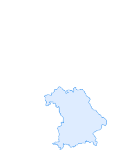

Sonnenbichl loop (terrain therapy path)
Úroveň náročnosti: 3

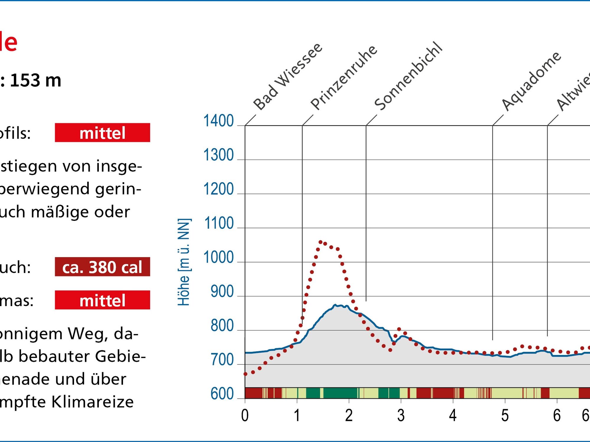
Route with ascents totaling 196 meters. Mostly slight inclines, but also moderate or steep inclines on shorter sections. Average energy consumption: 380 kcal
Requirements due to climate: moderate
Stimulating...
Route with ascents totaling 196 meters. Mostly slight inclines, but also moderate or steep inclines on shorter sections. Average energy consumption: 380 kcal
Requirements due to climate: moderate
Stimulating on mostly sunny path, slightly sheltered from wind within built-up areas, more intense stimuli on the lake promenade and over the meadows; only briefly dampened climatic stimuli under forest protection.
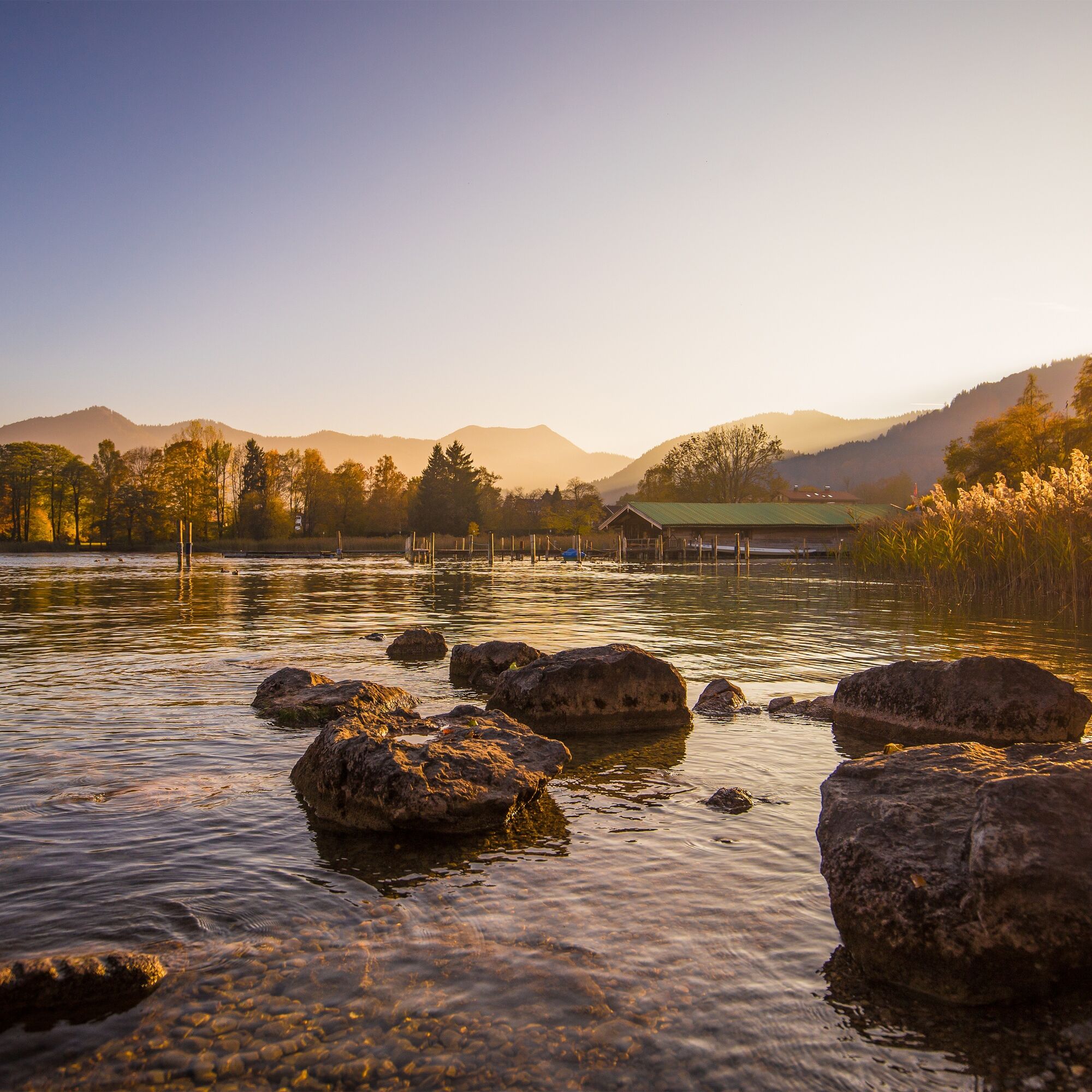
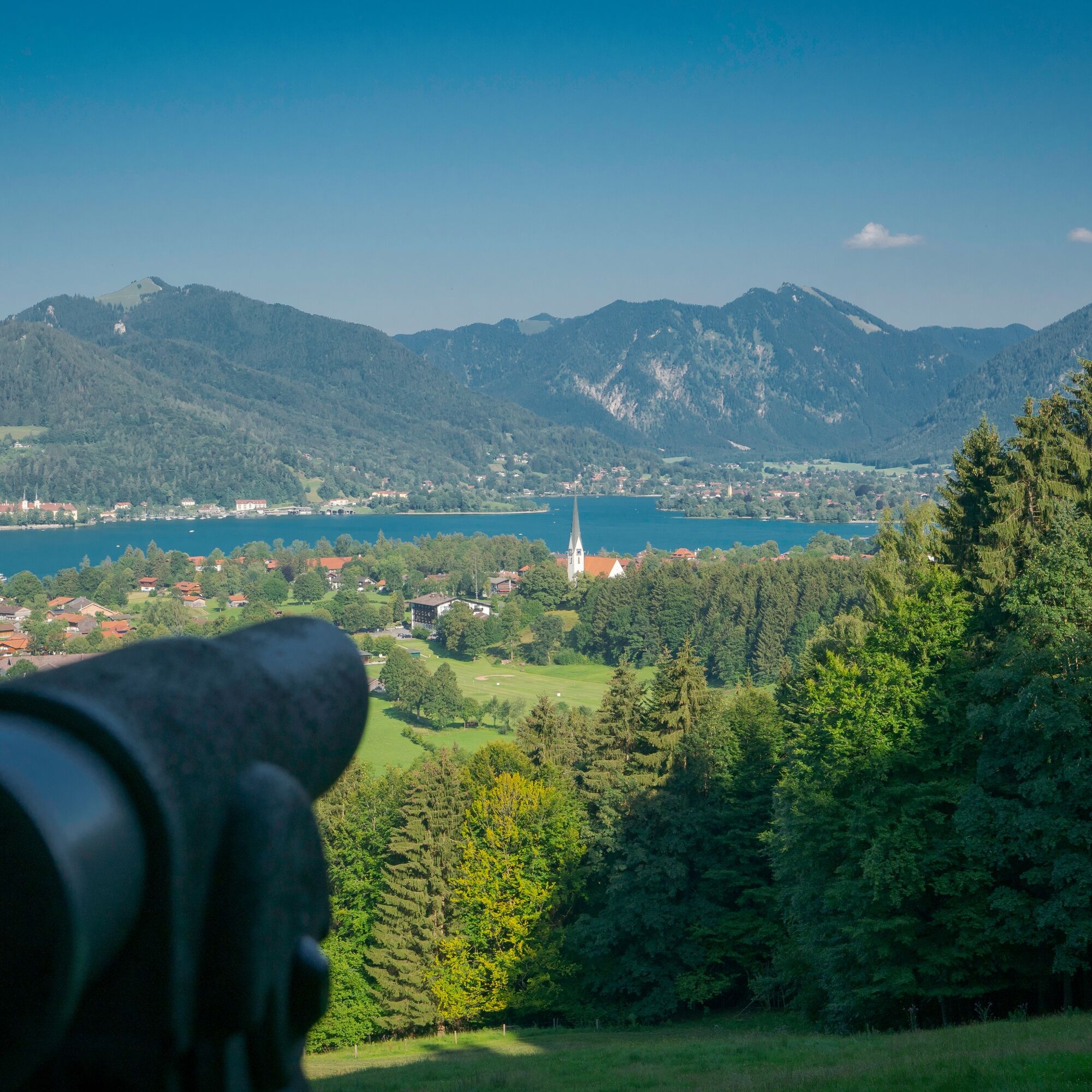
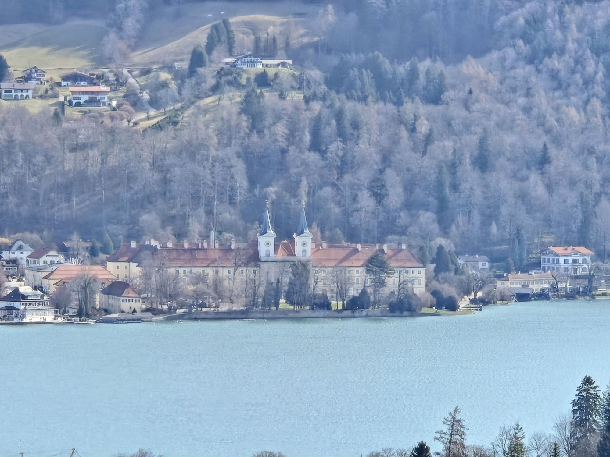
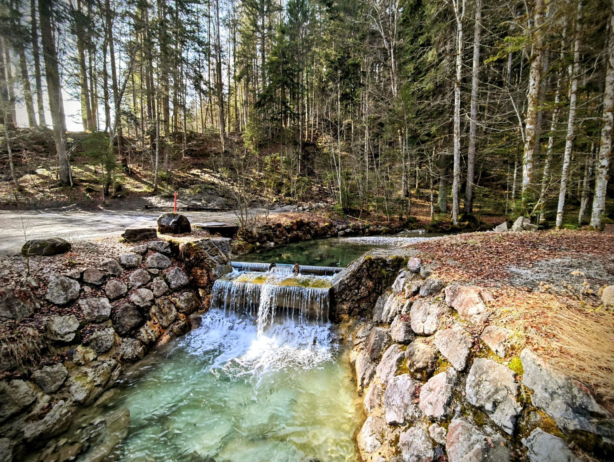
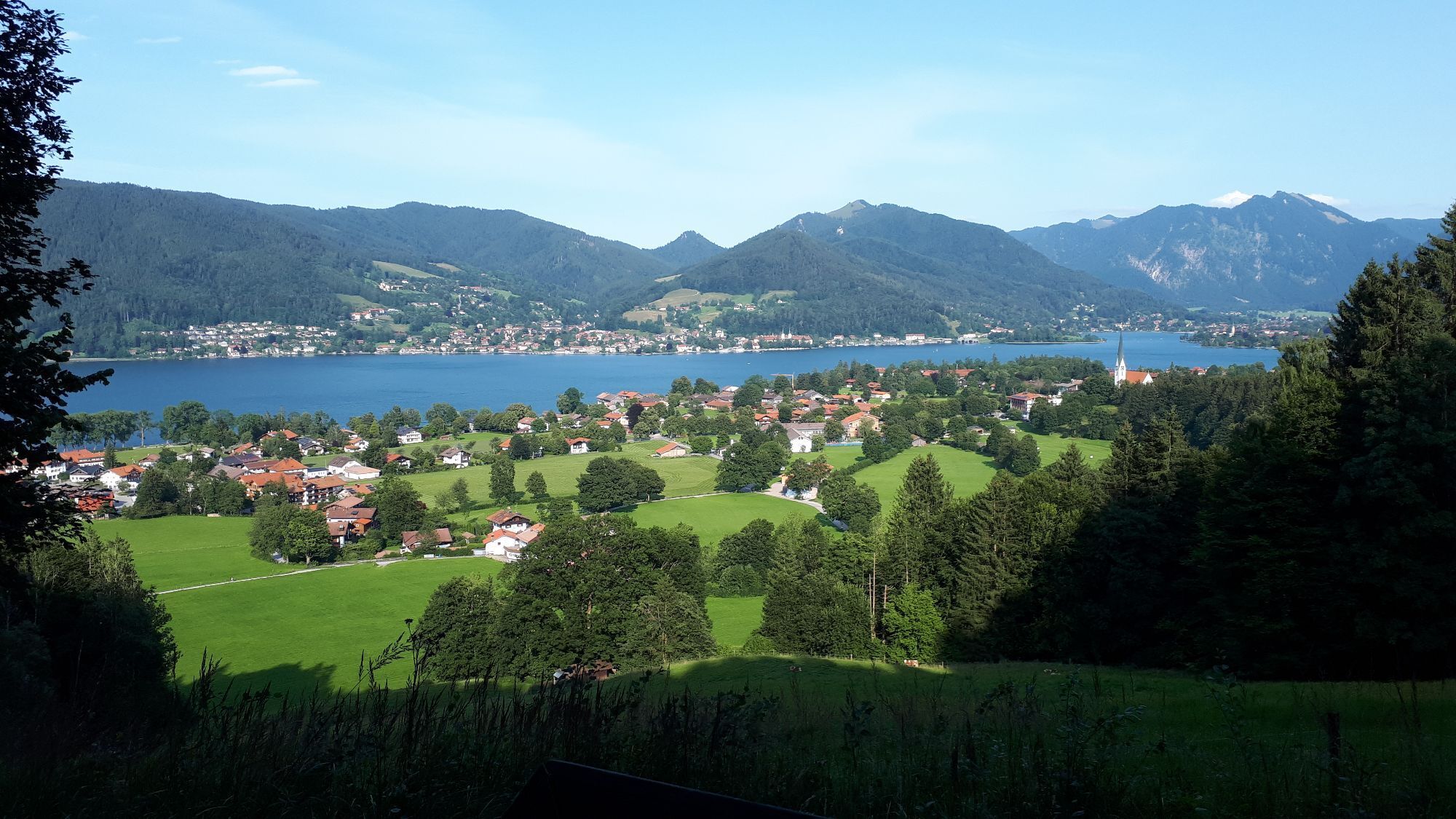
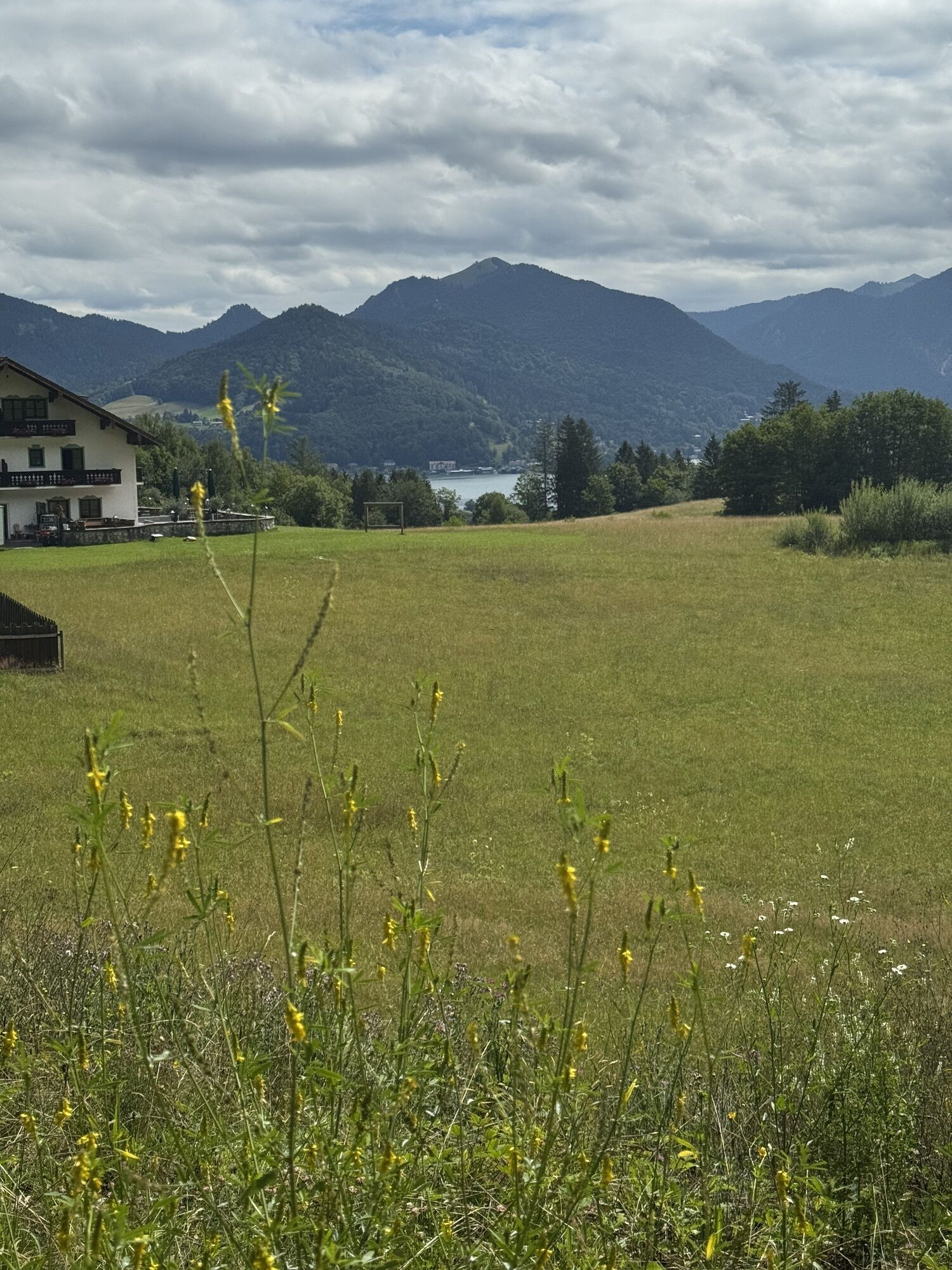
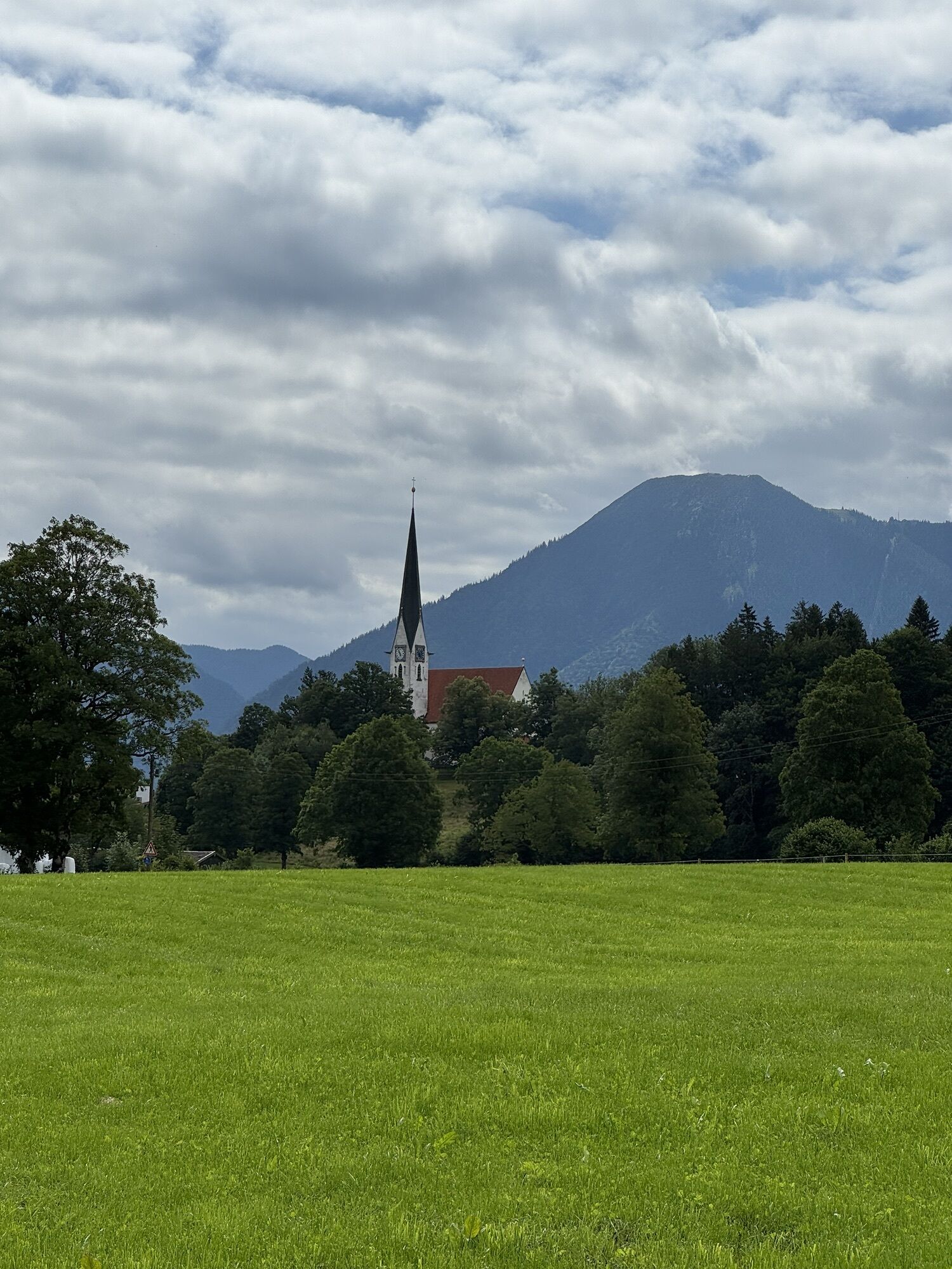
The route starts at the central car park in the town center of Bad Wiessee. From there, the path leads over open landscape up to the viewpoint Prinzenruhe. On forest paths, it goes over the Zeiselbach to Sonnenbichl. From there, the path descends towards Abwinkl. Along the Söllbach, you reach Lake Tegernsee. Along and near the shore, the path leads back to the starting point. The Nordic active route is marked with the number 16.
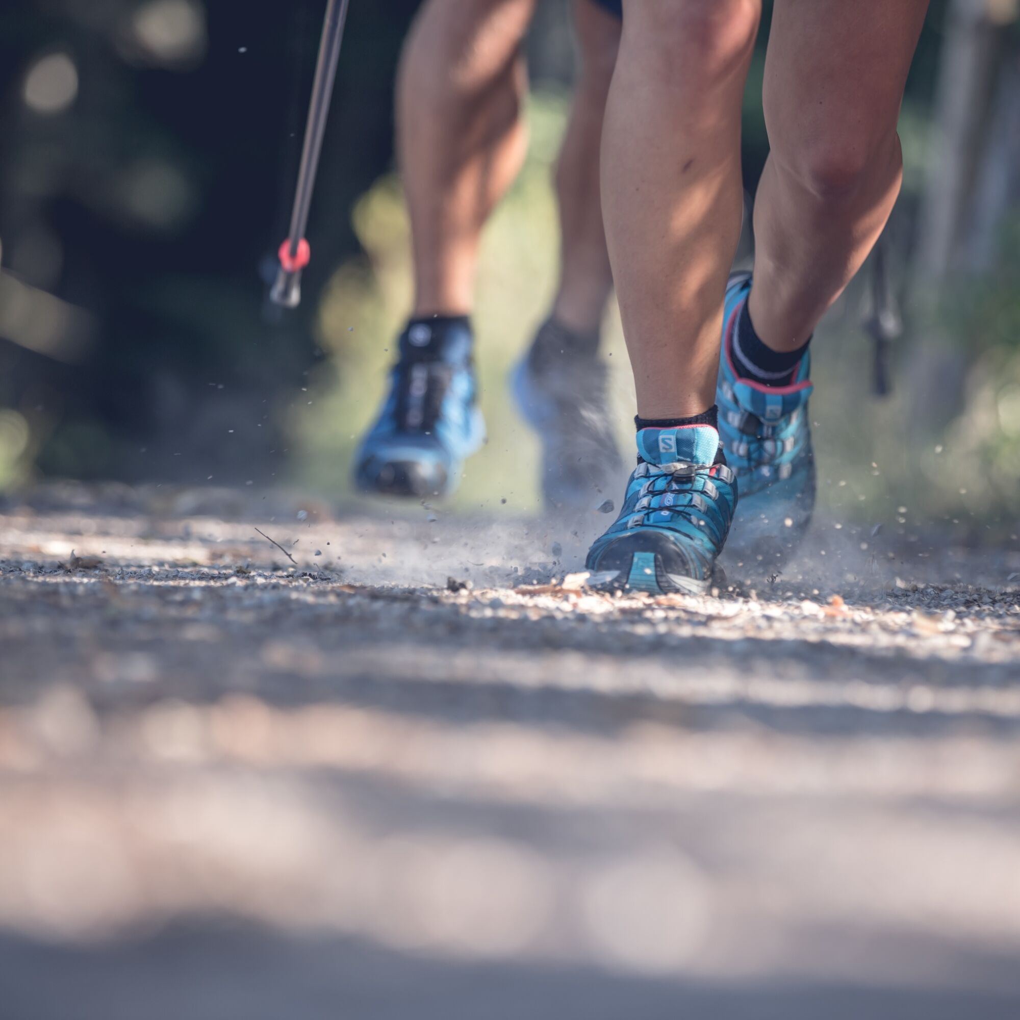
Sturdy footwear as well as weather-appropriate clothing, possibly rain jacket, water bottle, poles, first aid kit.
All information without guarantee. Walking and riding on the routes described here is at your own risk.
A8 to Holzkirchen exit, via B318 and B307 to Bad Wiessee
By MVV to Bad Wiessee (bus stop Lindenplatz).
Bad Wiessee central car park (paid)
3
Obľúbené výlety v okolí
-
4,7
Summit route to the Wallberg
strednáTuristika 12,2 km -
4,7
Königsalm
strednáTuristika 10,0 km -
4,8
Lengrieser Hütte
strednáTuristika 10,6 km -
4,2
Tegernsee Höhenweg - North
svetloTuristika 12,3 km -
4,6
Brecherspitze
strednáHorská turistika 14,5 km -
4,5
Aueralm/Zwerglberg
strednáTuristika 11,9 km -
4,5
Brecherspitz-Runde auf dem Normalweg Schliersee, Bayern
strednáTuristika 11,3 km -
3,7
Aueralm und Fockenstein
strednáTuristika 14,1 km -
4,6
Alpbach valley and Neureuth
strednáTuristika 12,9 km -
3,4
Zur Gindelalm und Kreuzbergalm
svetloTuristika 8,16 km
Turistika a stopovanie


Nenechajte si ujsť ponuky a inšpiráciu na ďalšiu dovolenku
Vaša e-mailová adresa bol pridaný do poštového zoznamu.