







Upper Iller valley - on the Iller cycle path
Úroveň náročnosti: 3
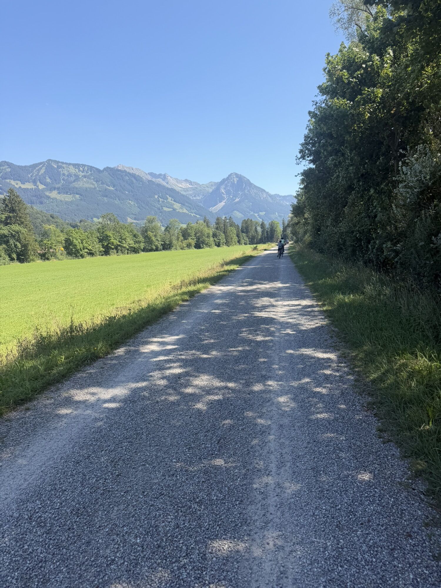
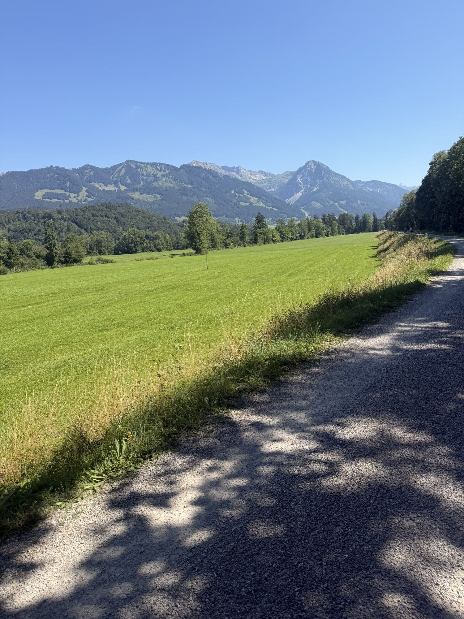
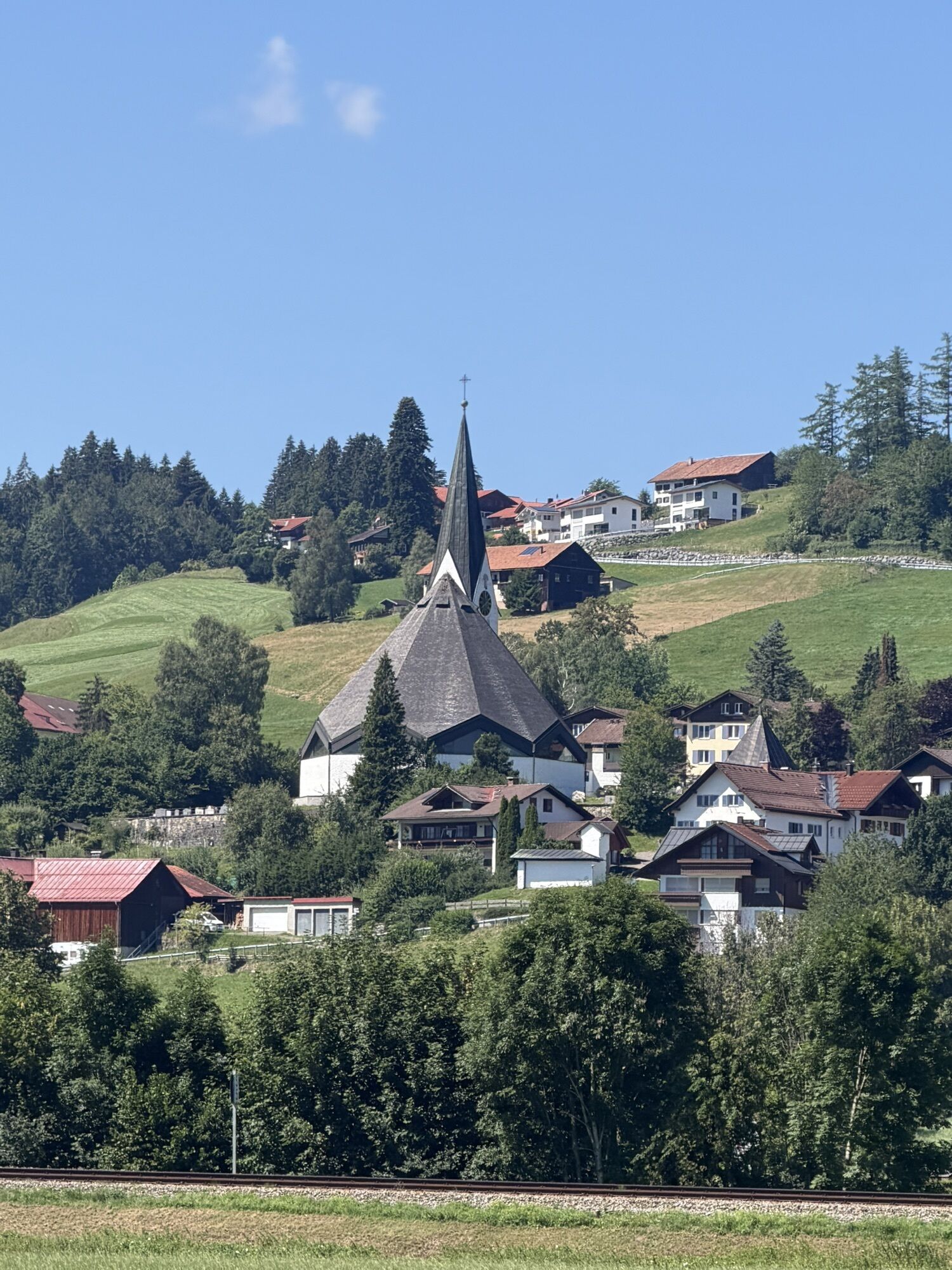
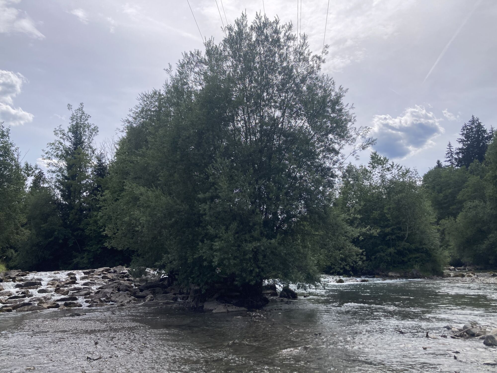
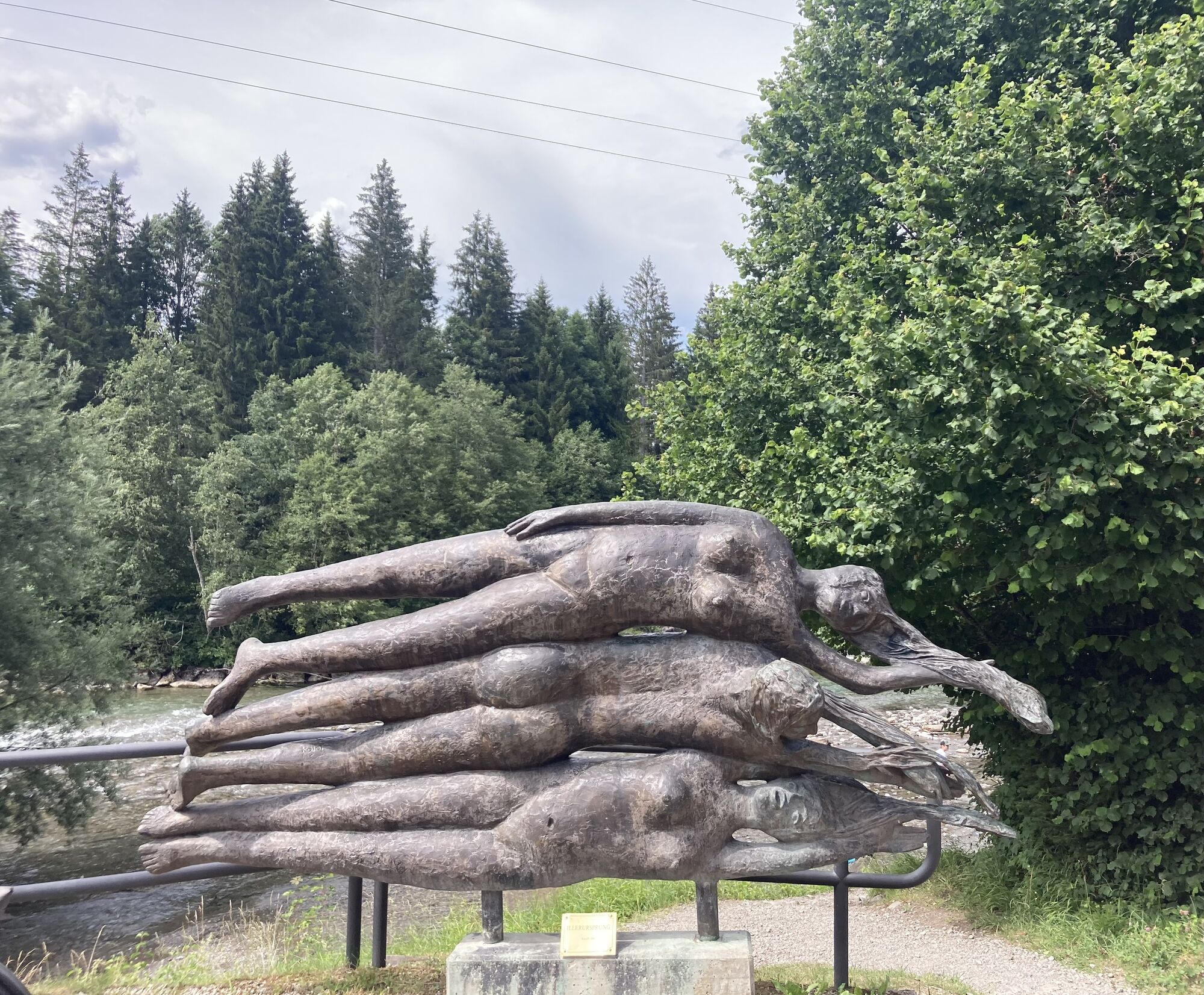
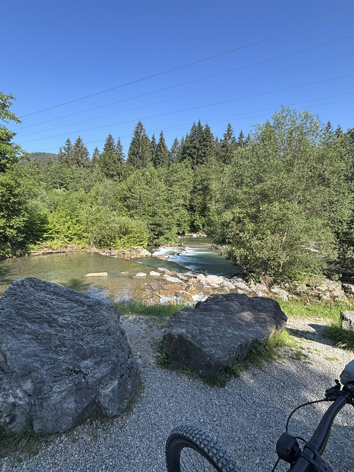
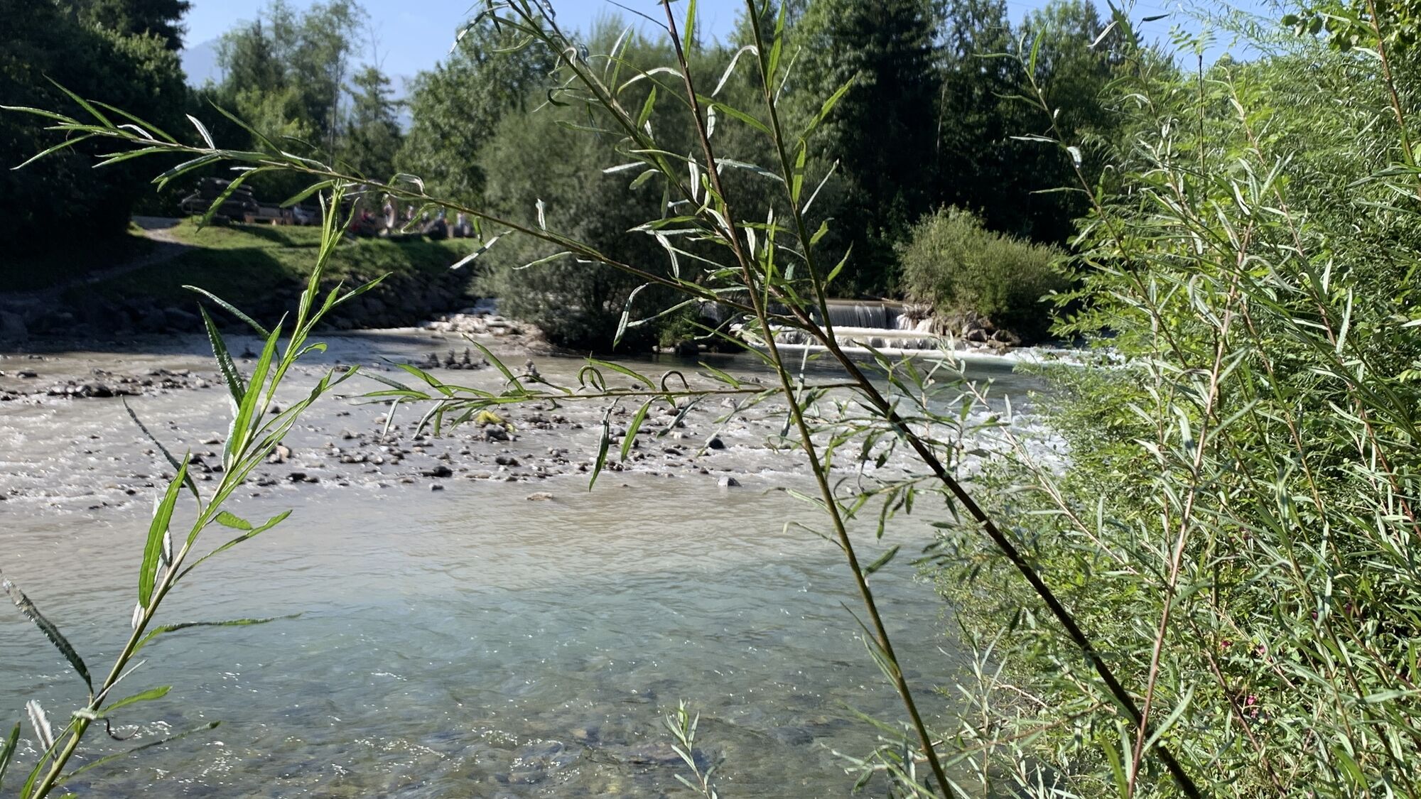
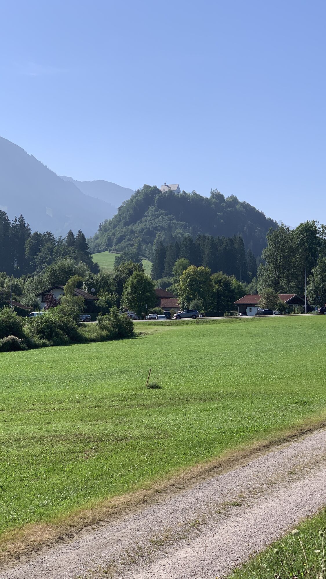
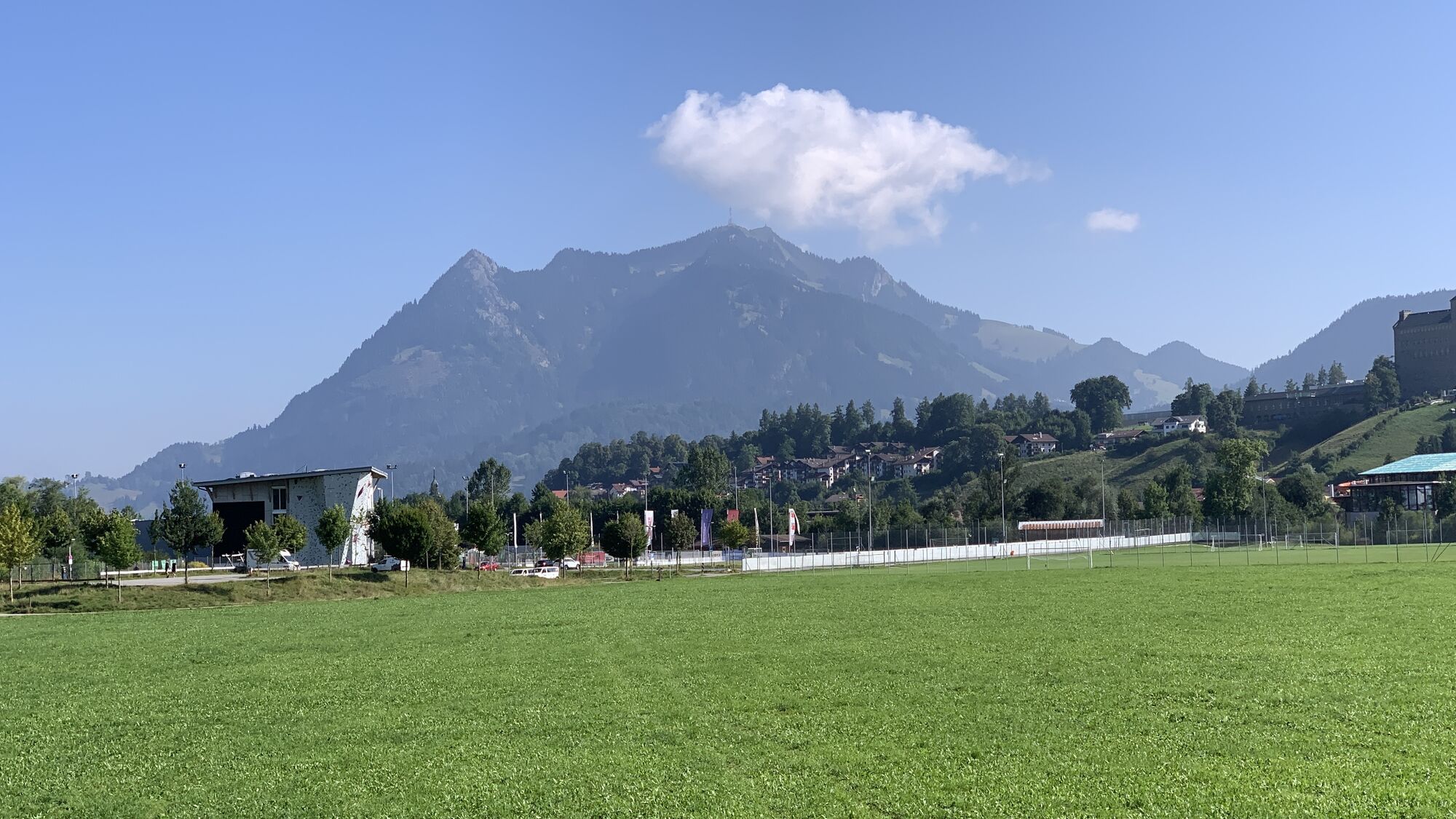
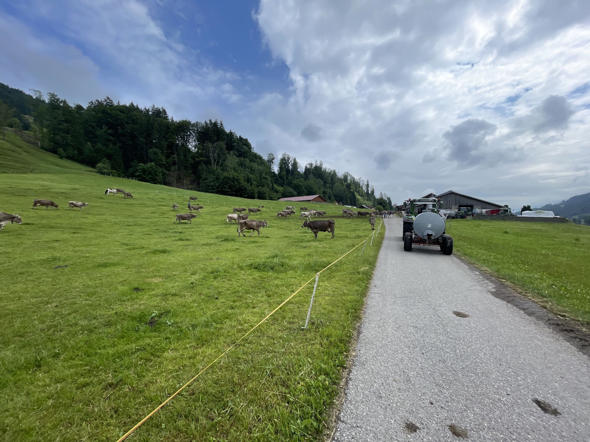
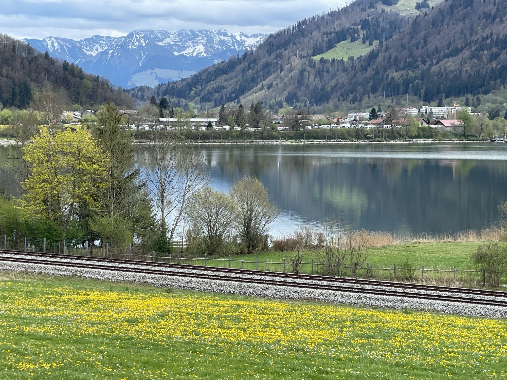
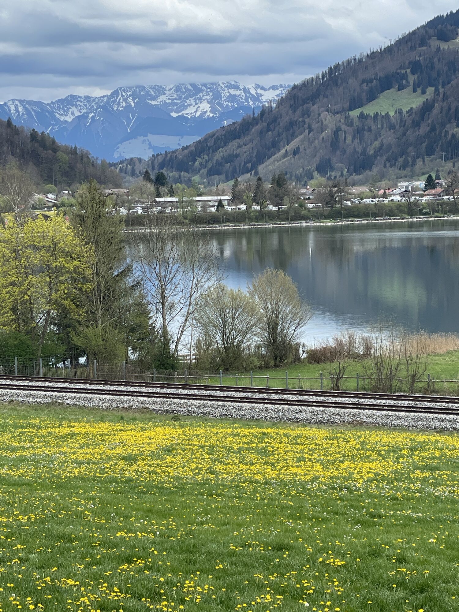

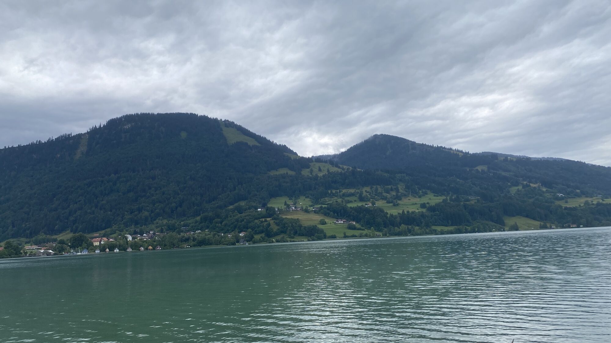
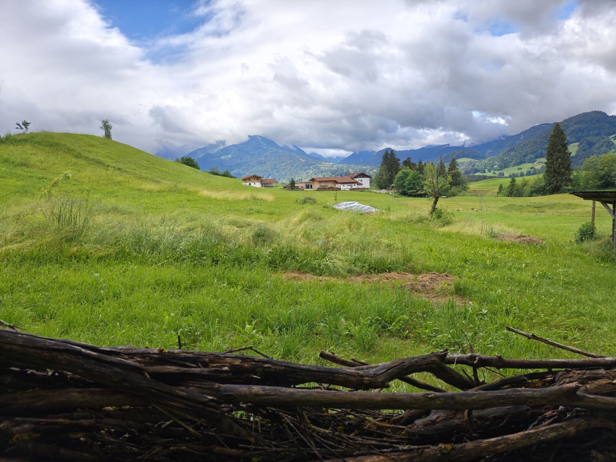
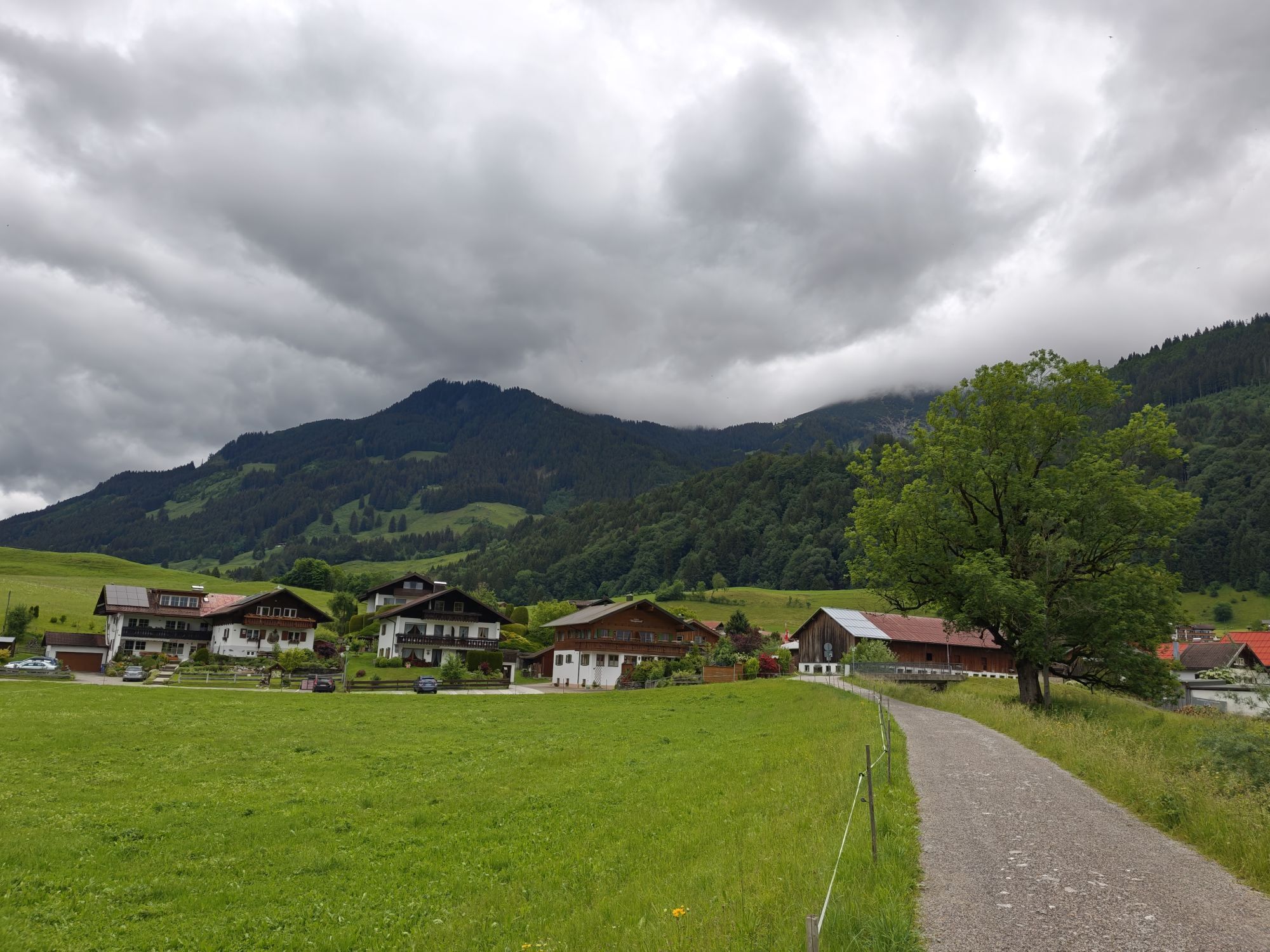
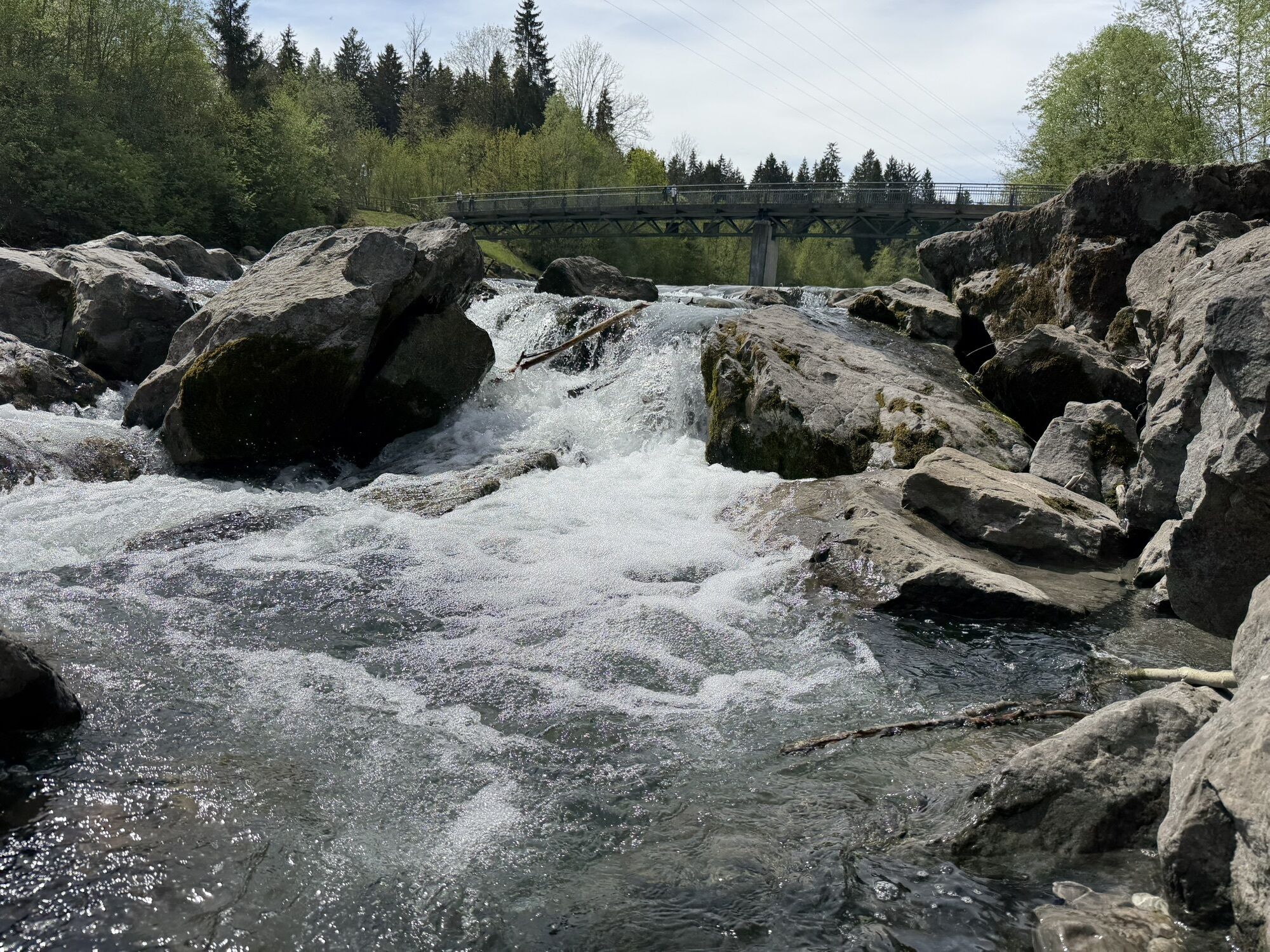
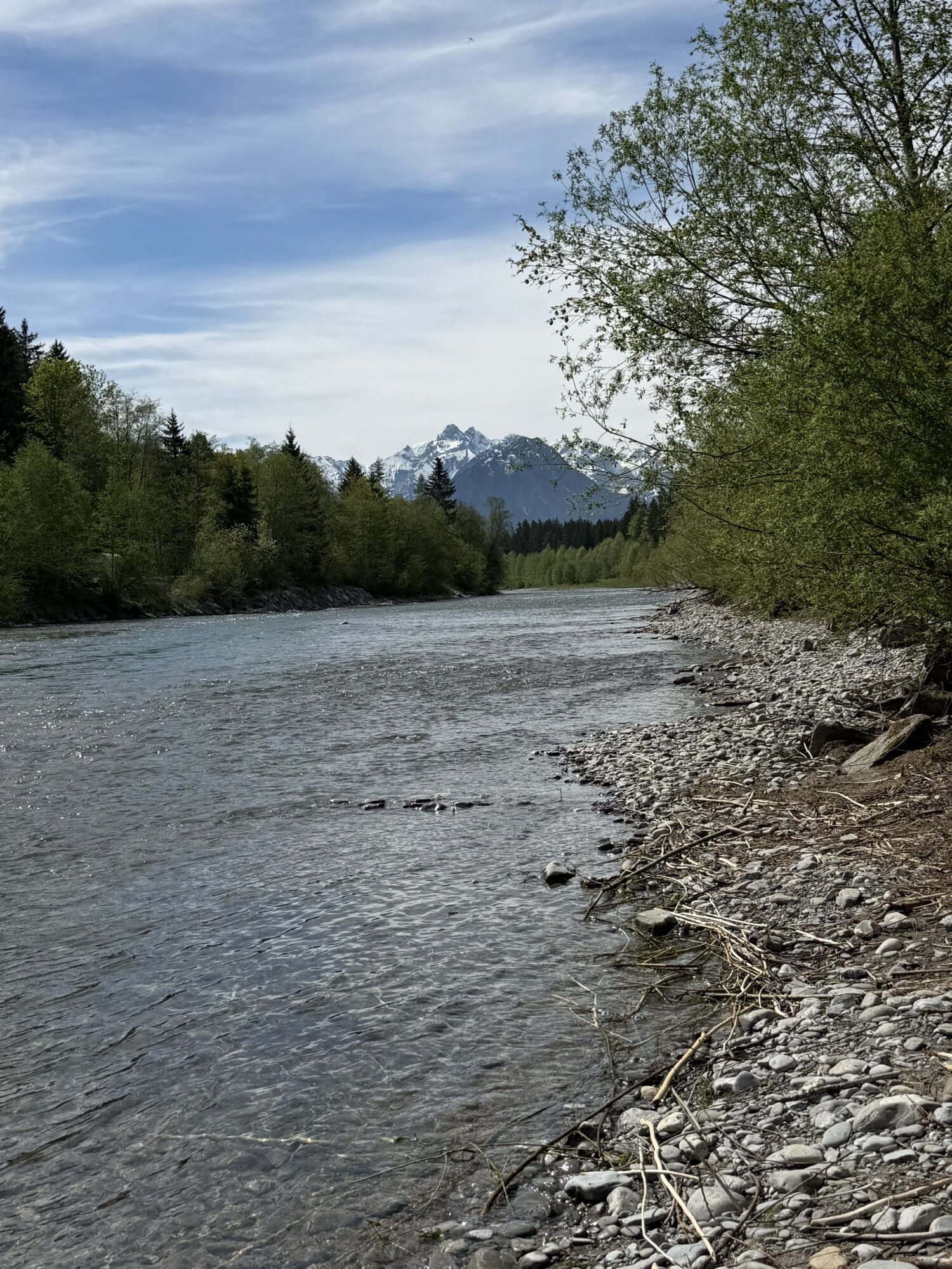
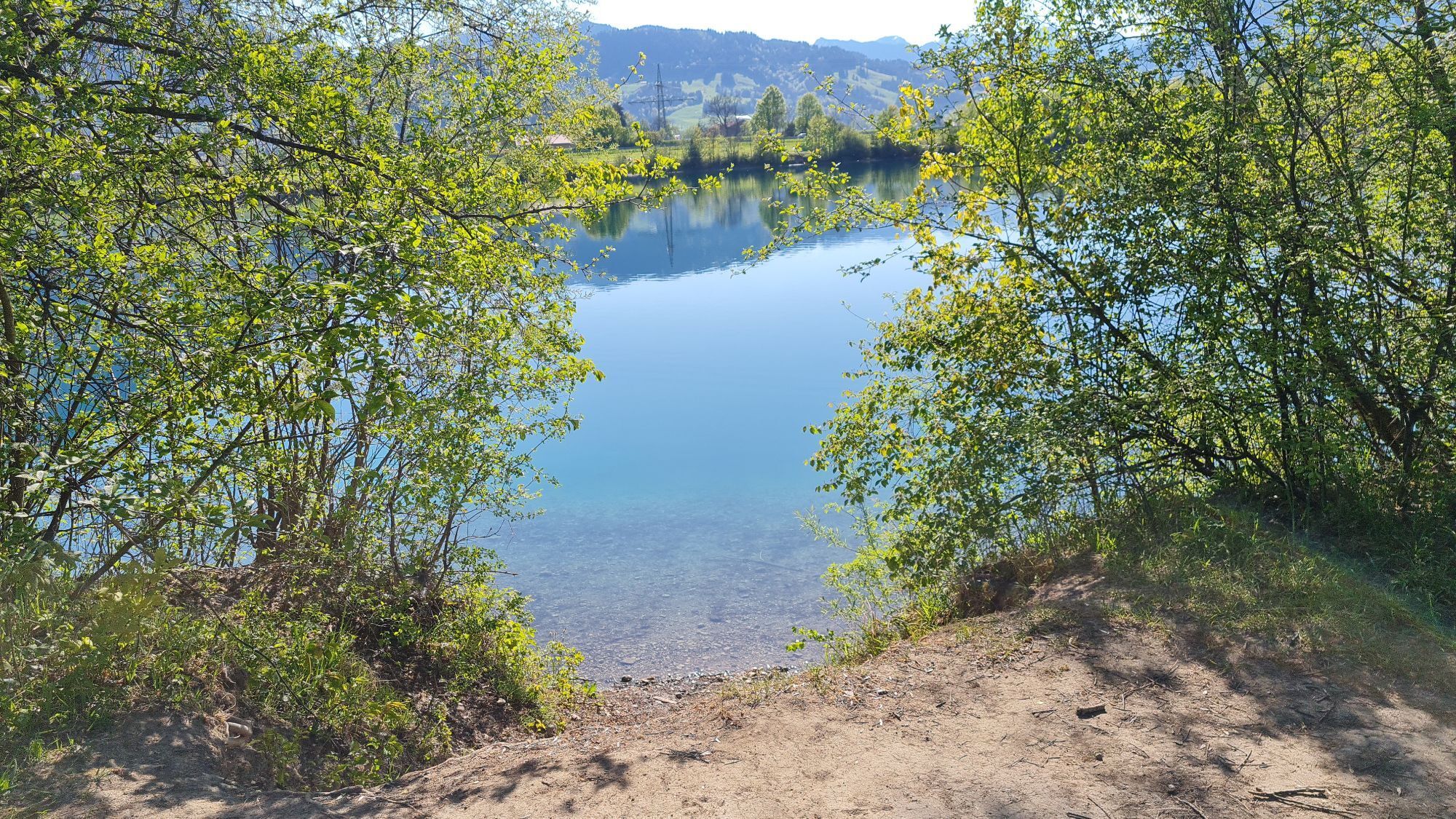
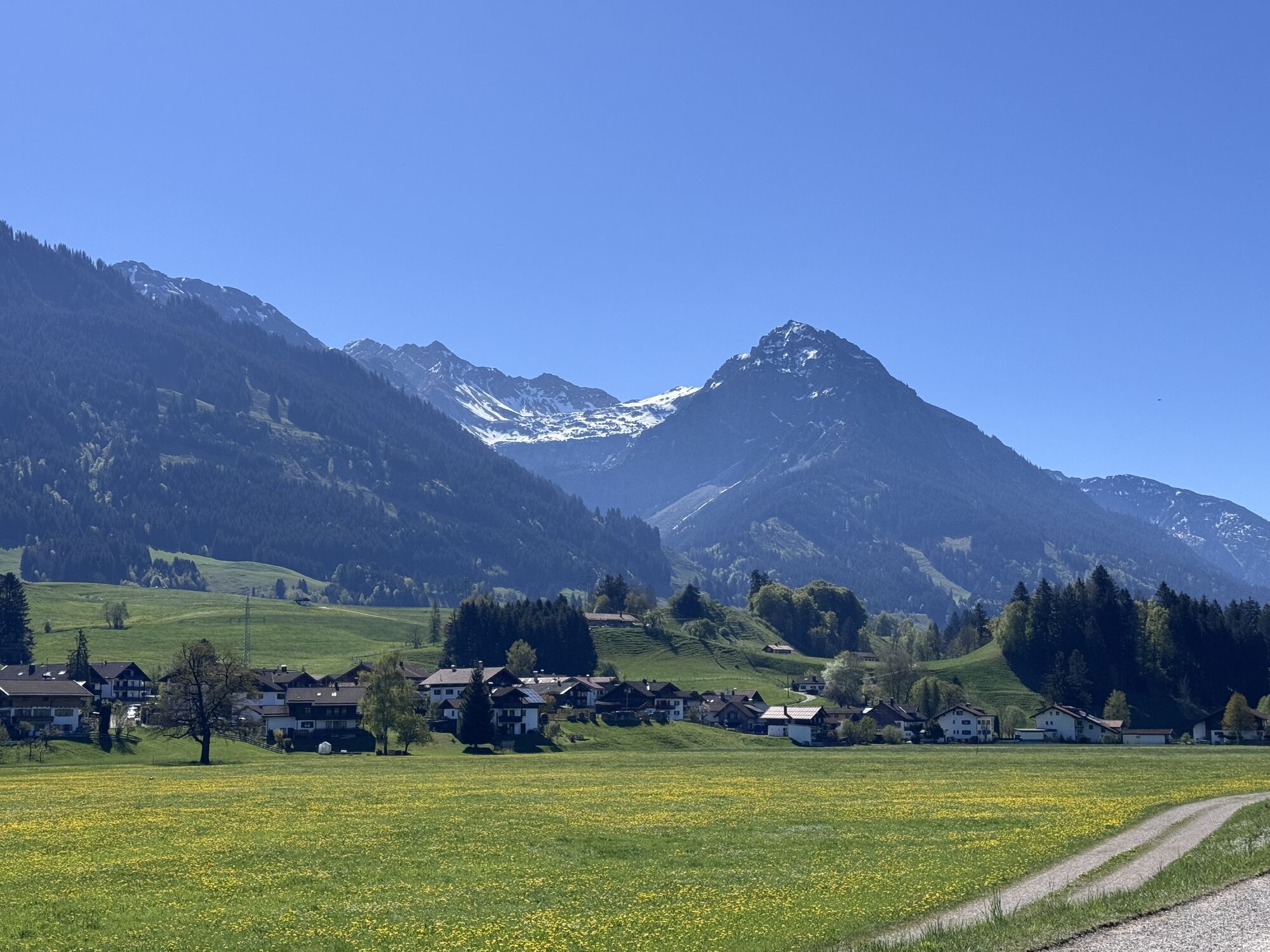
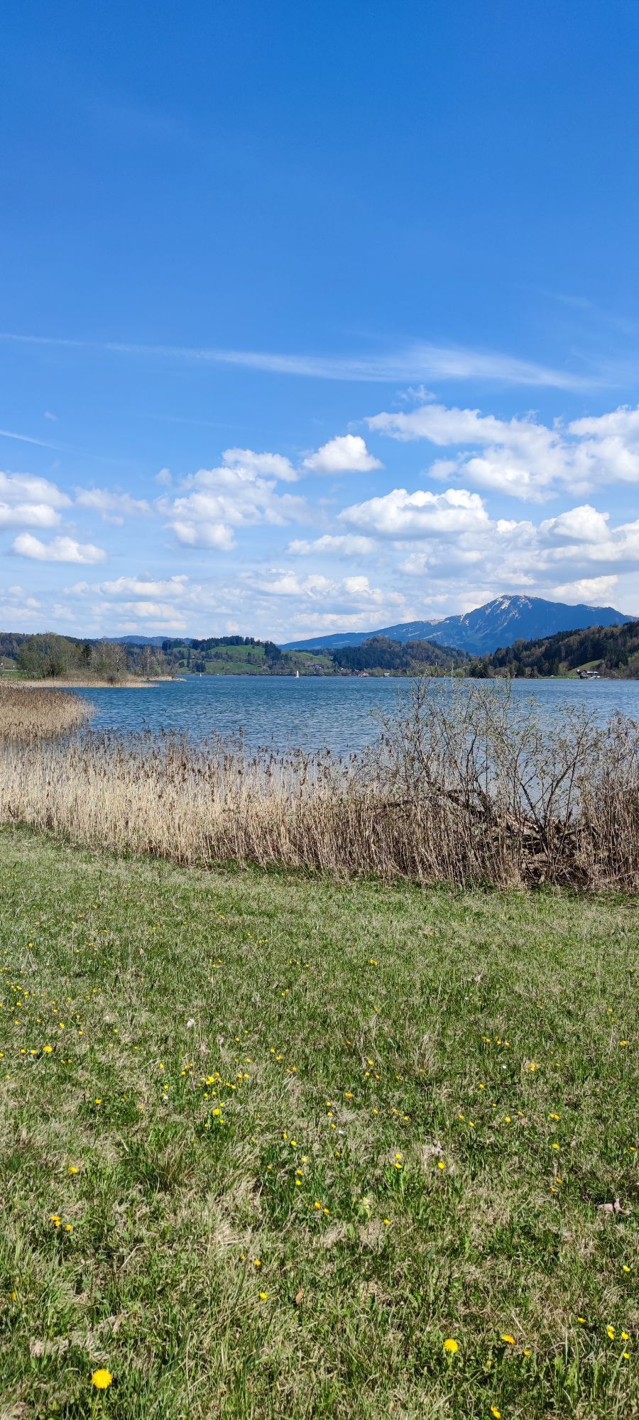
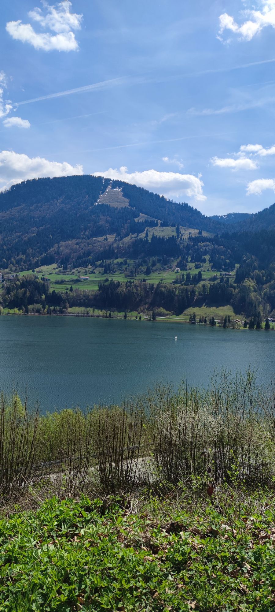
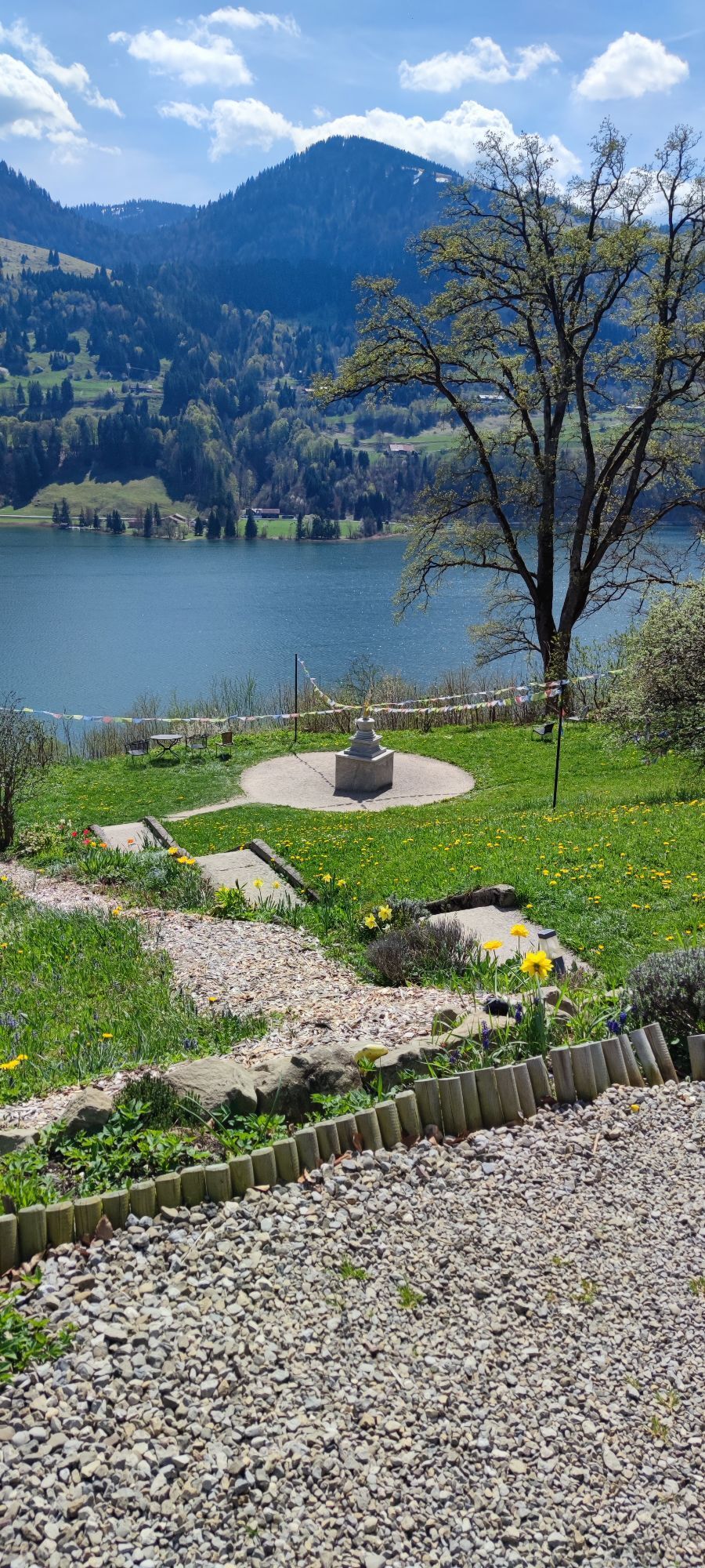
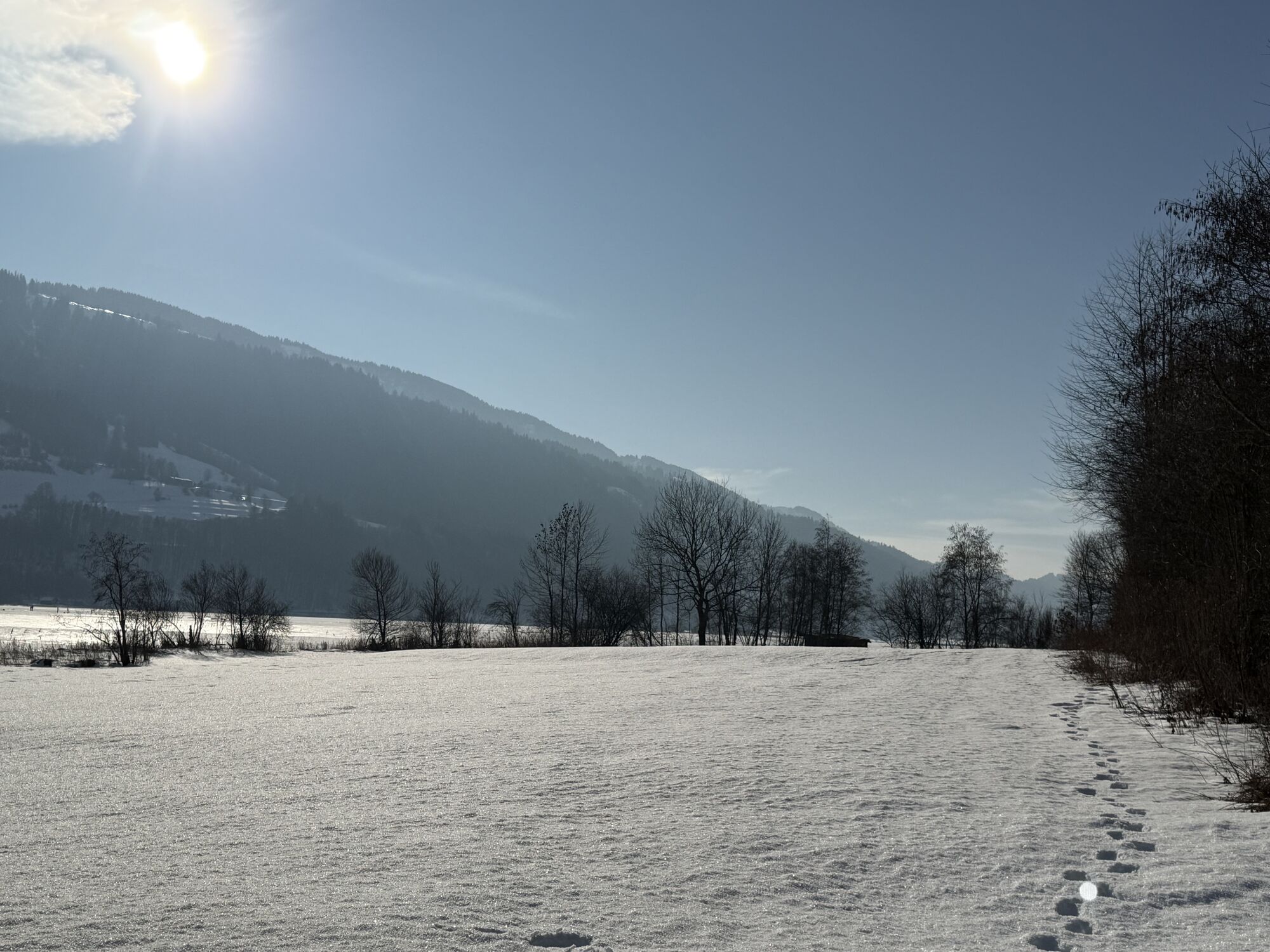
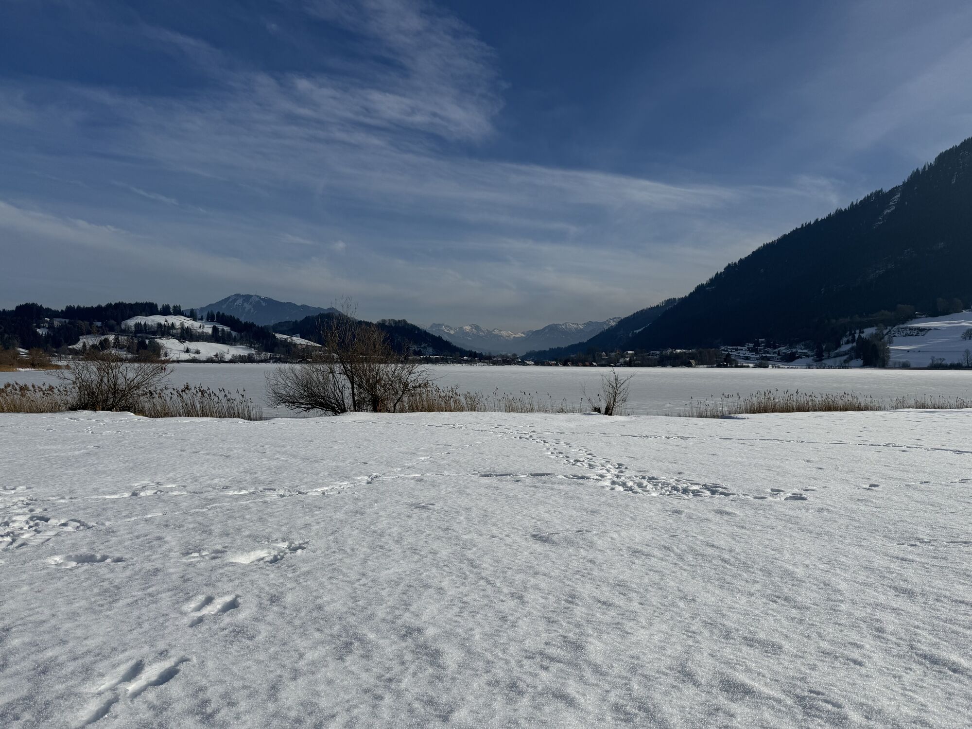
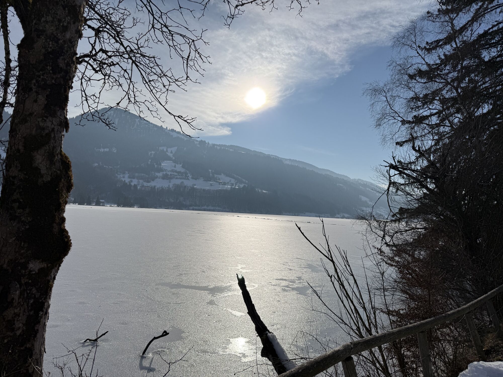
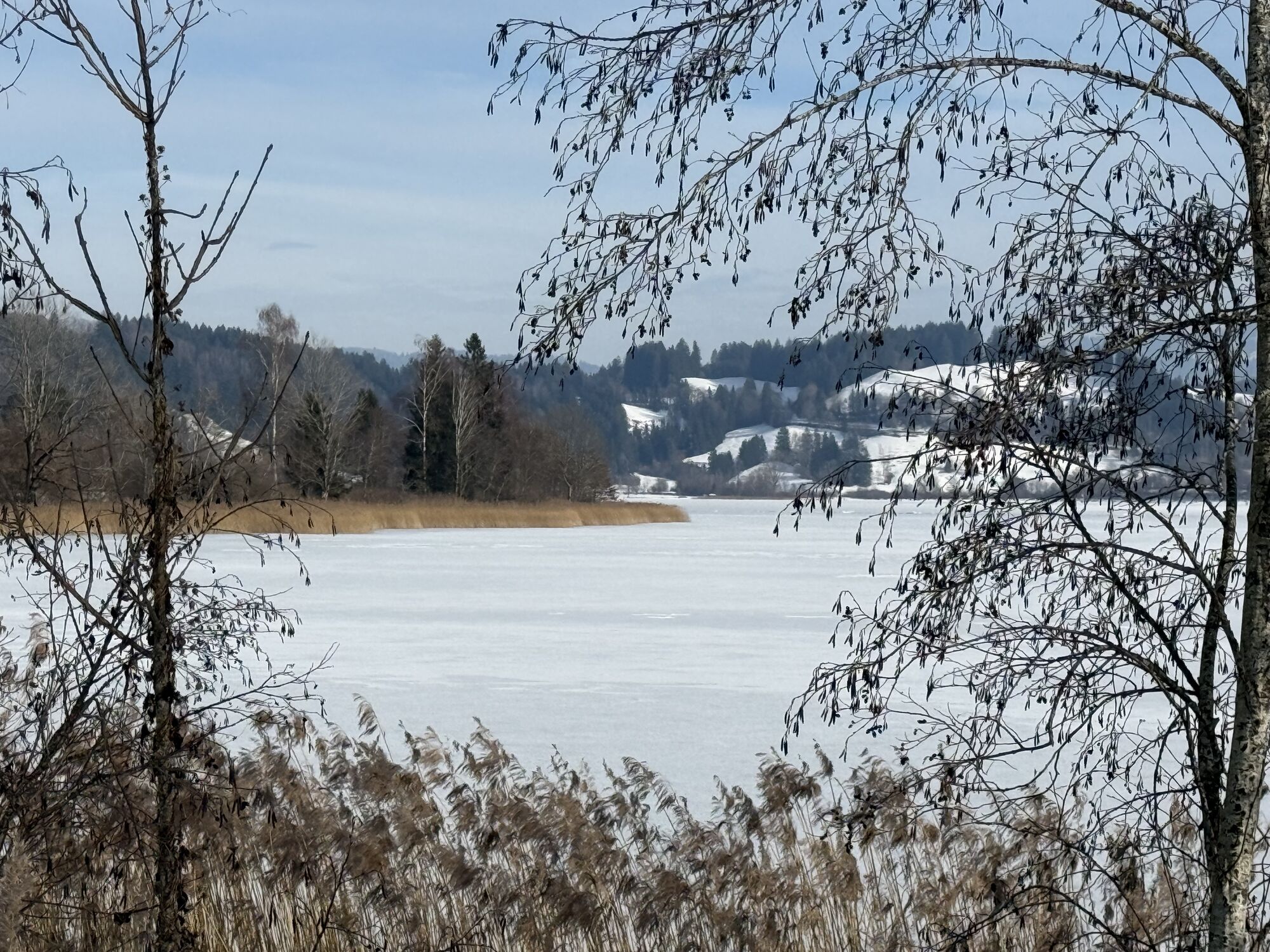
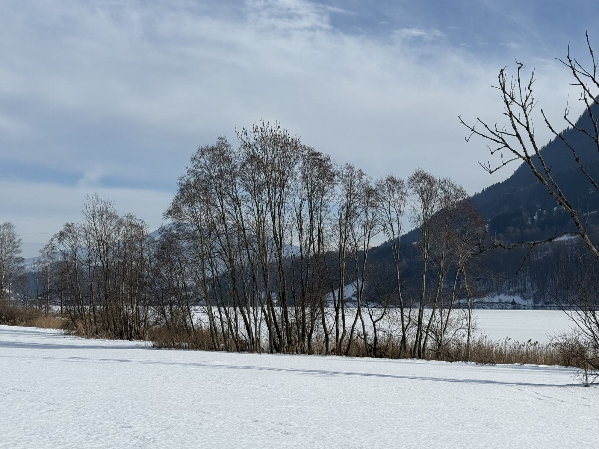
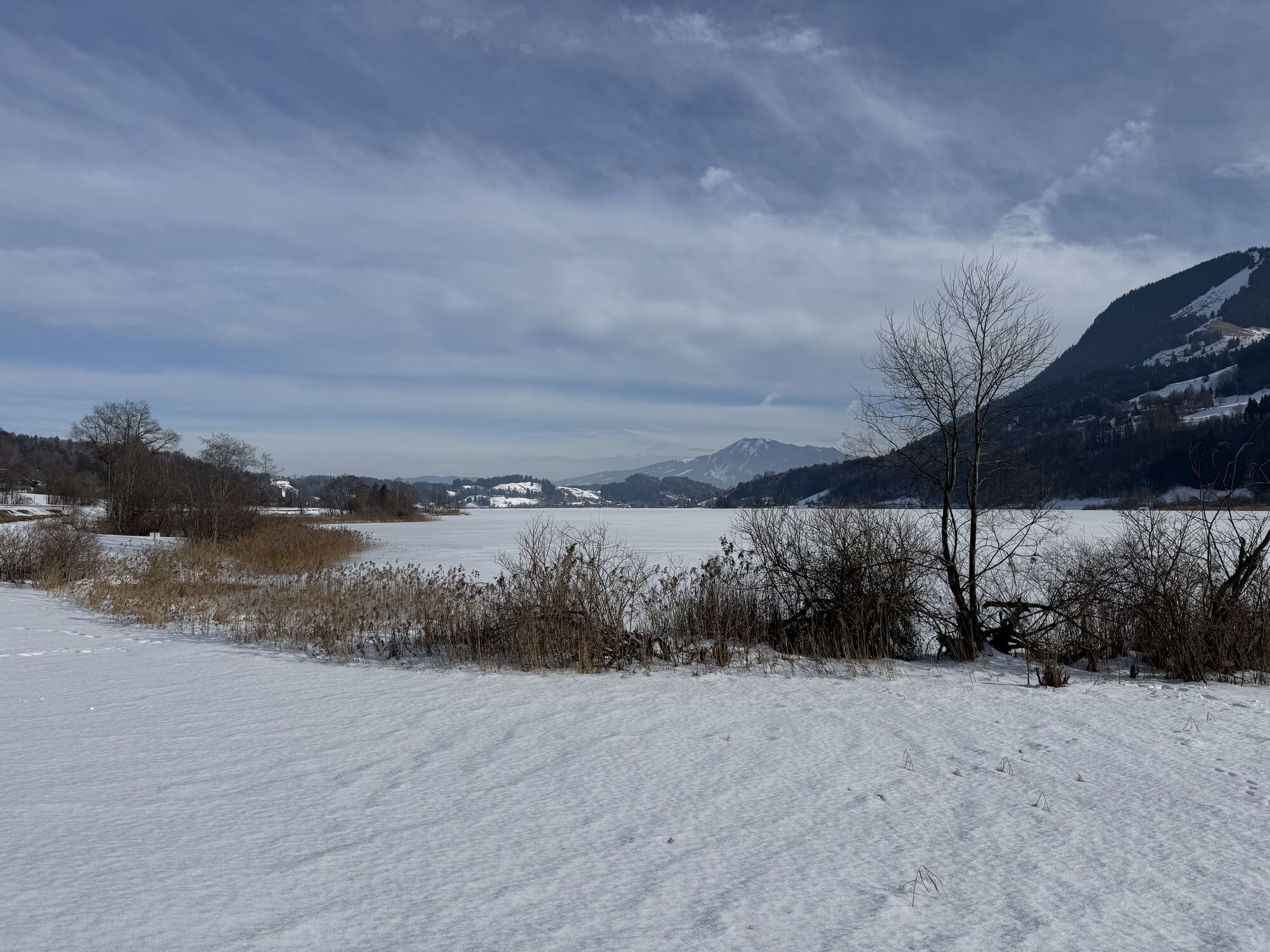
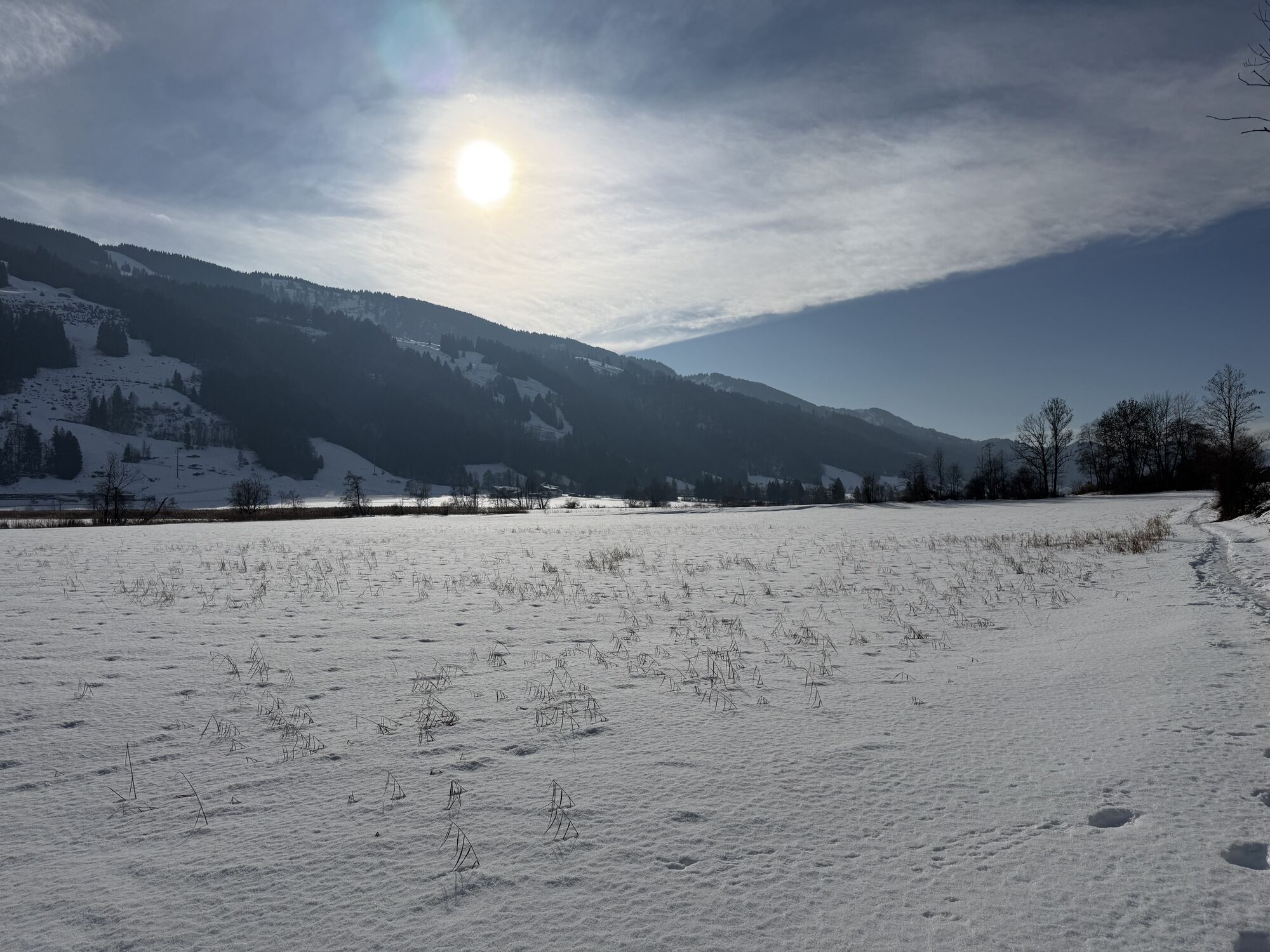
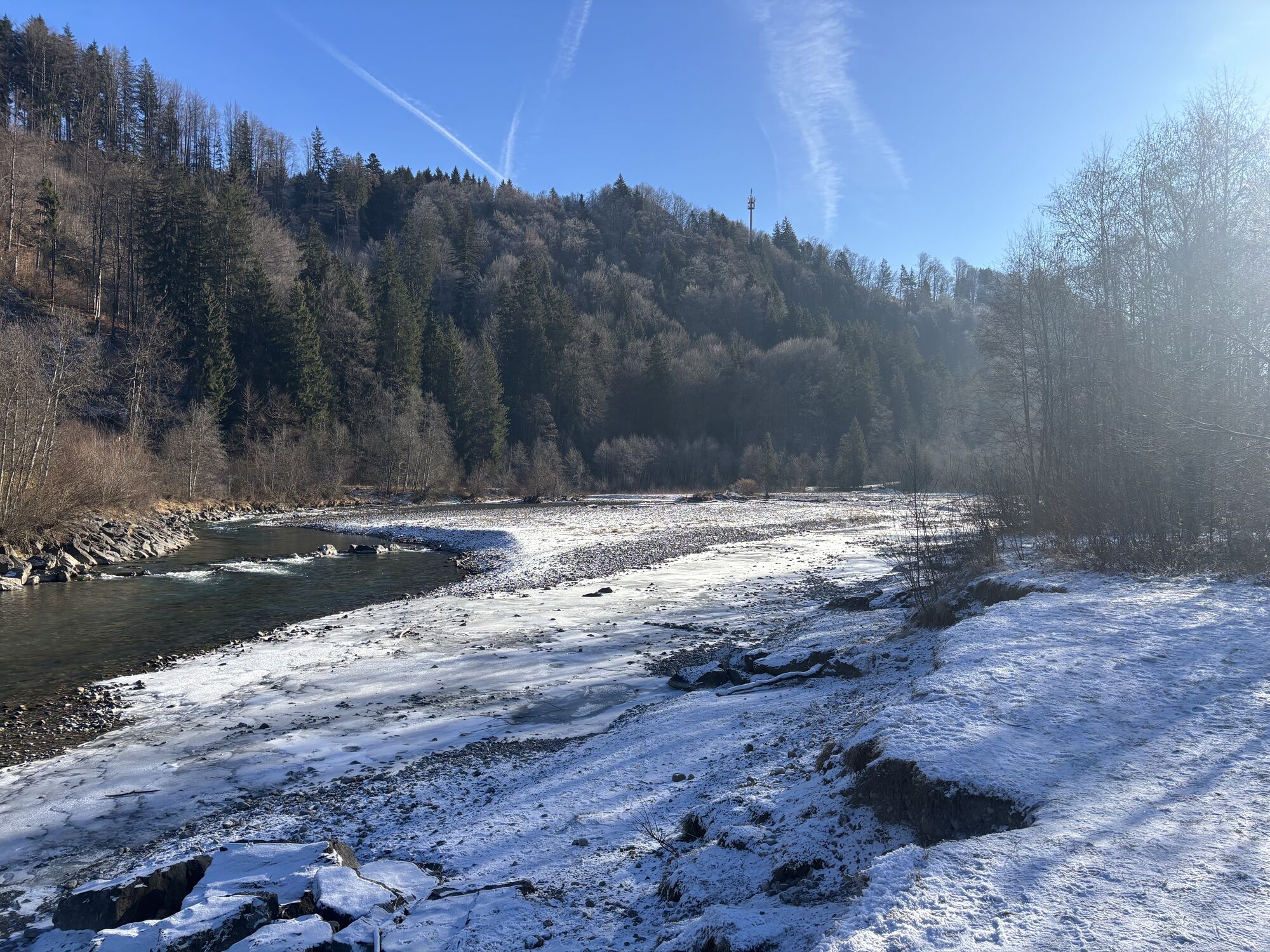

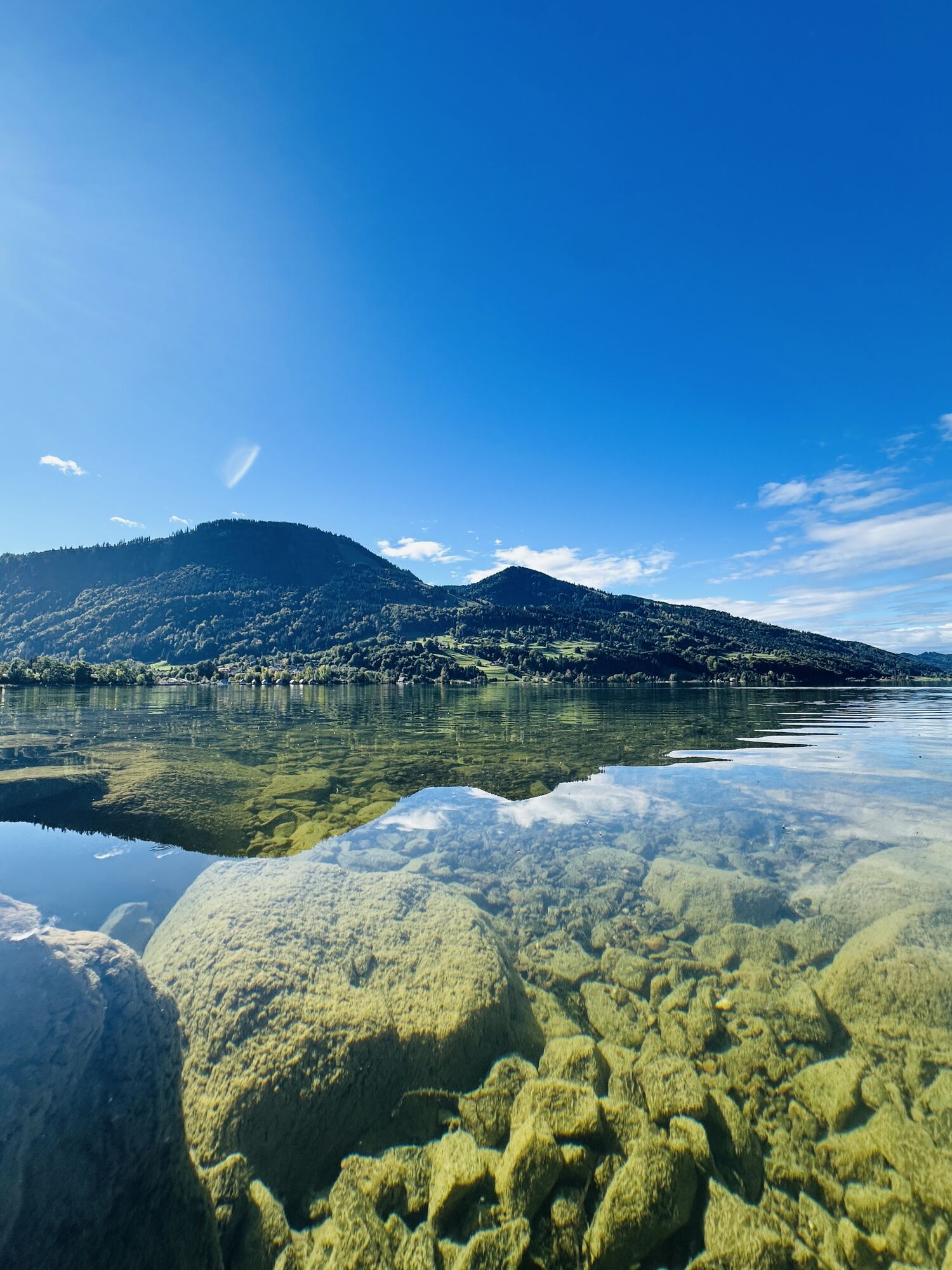
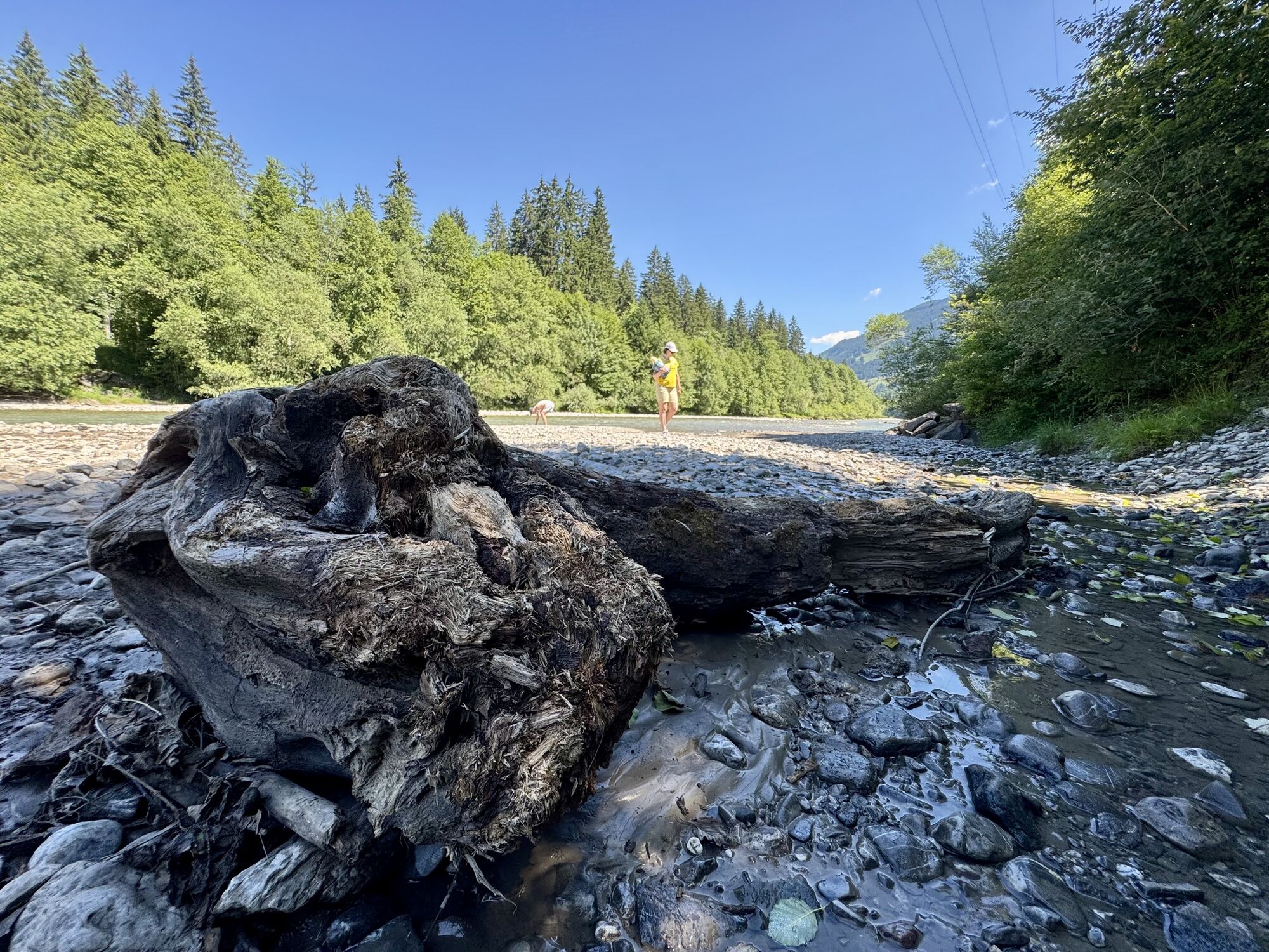
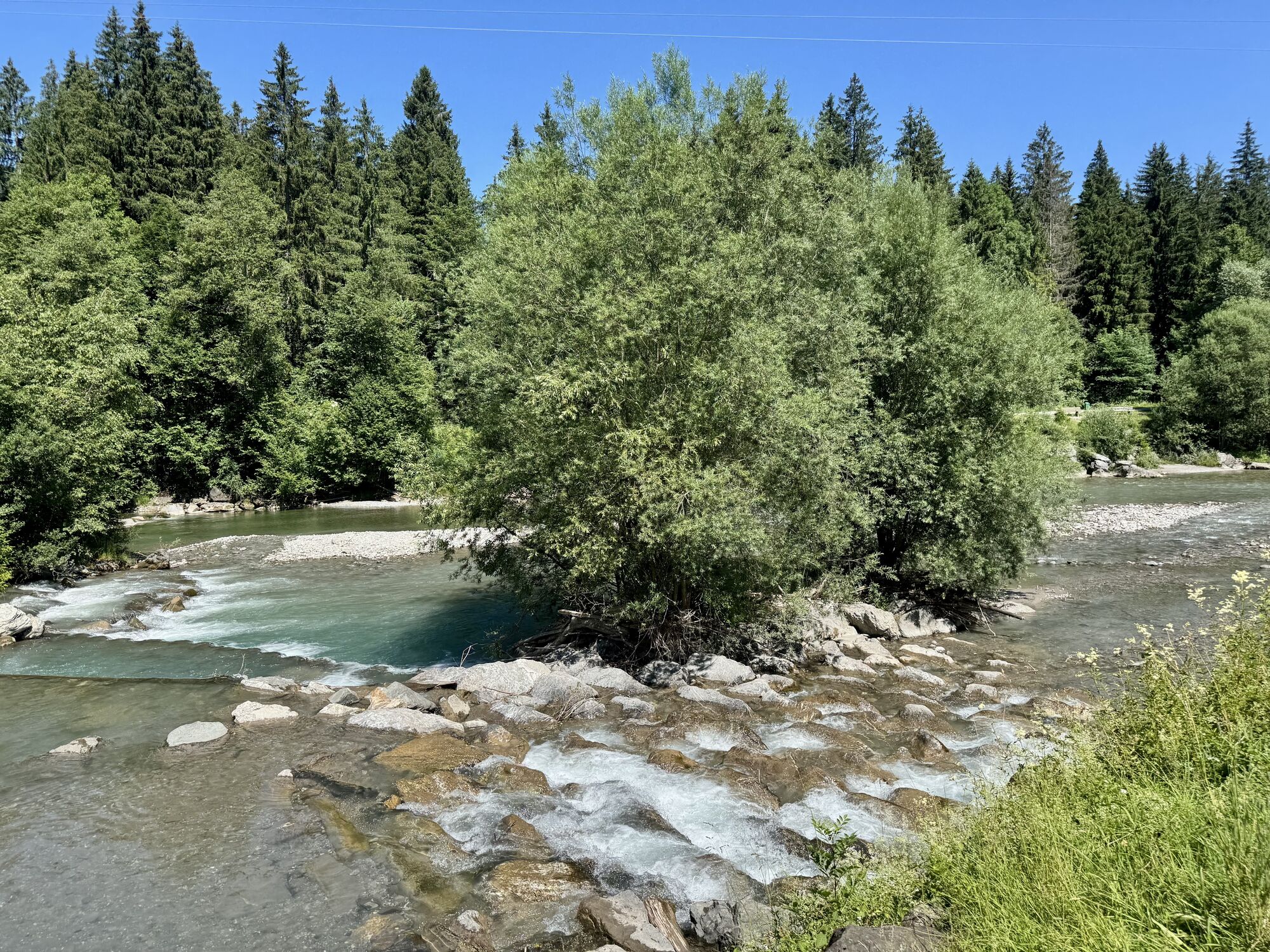
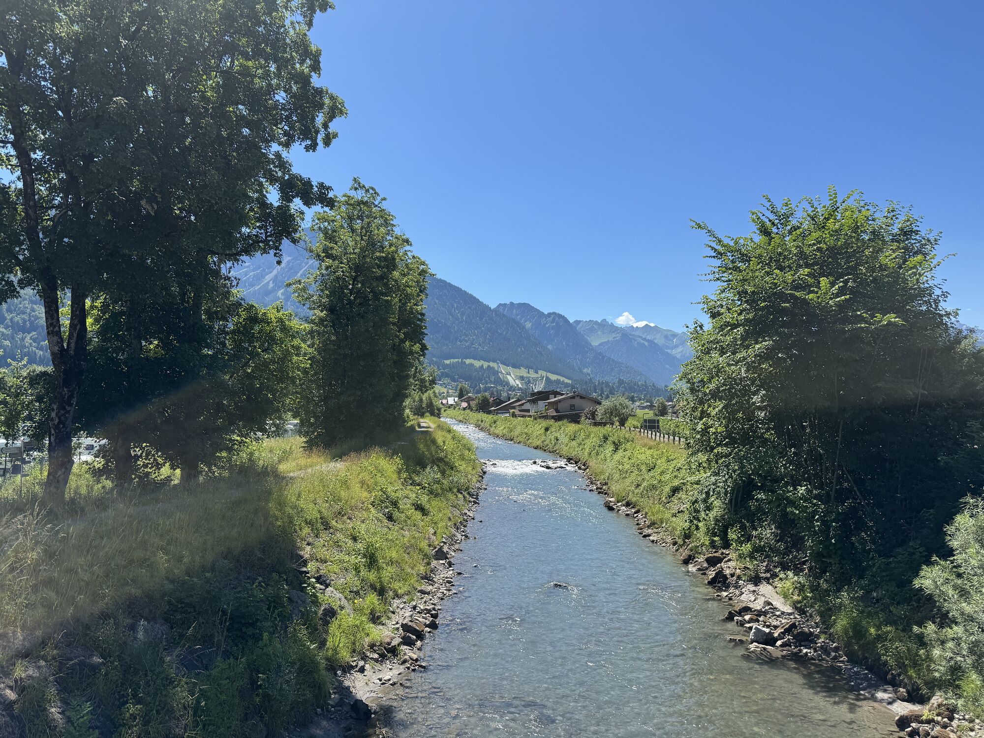

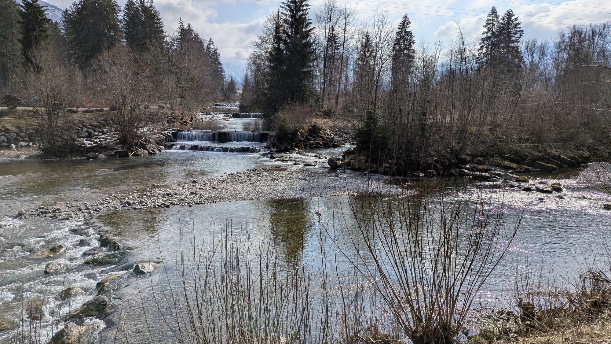
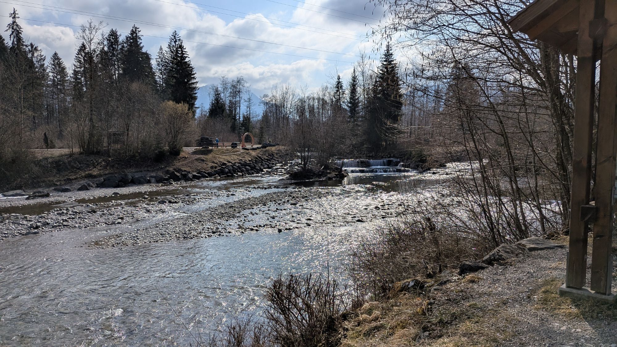
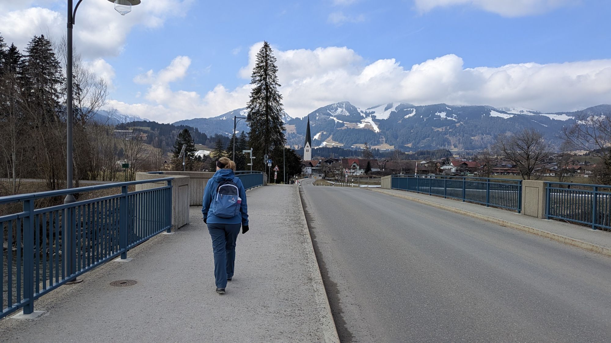
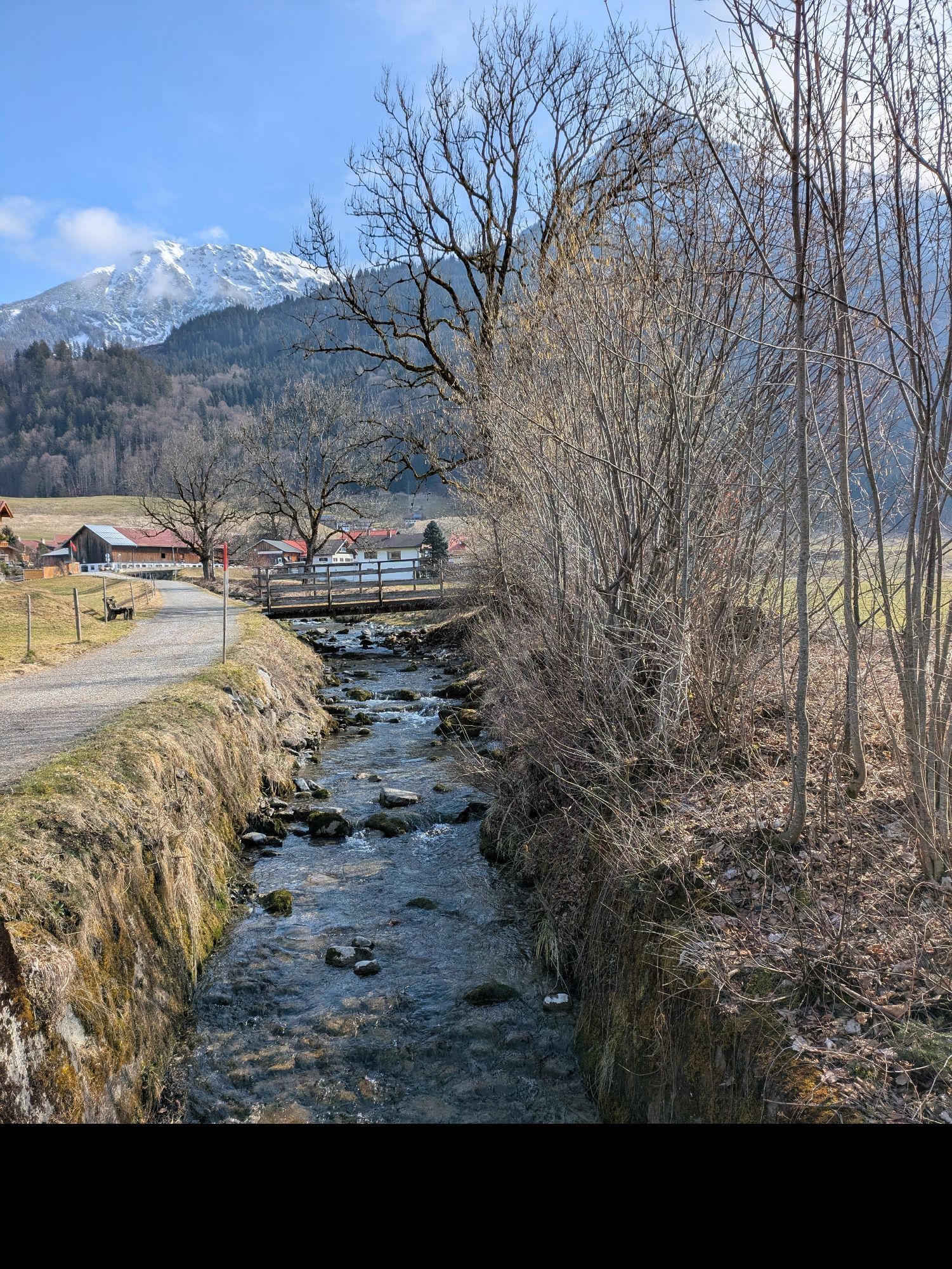
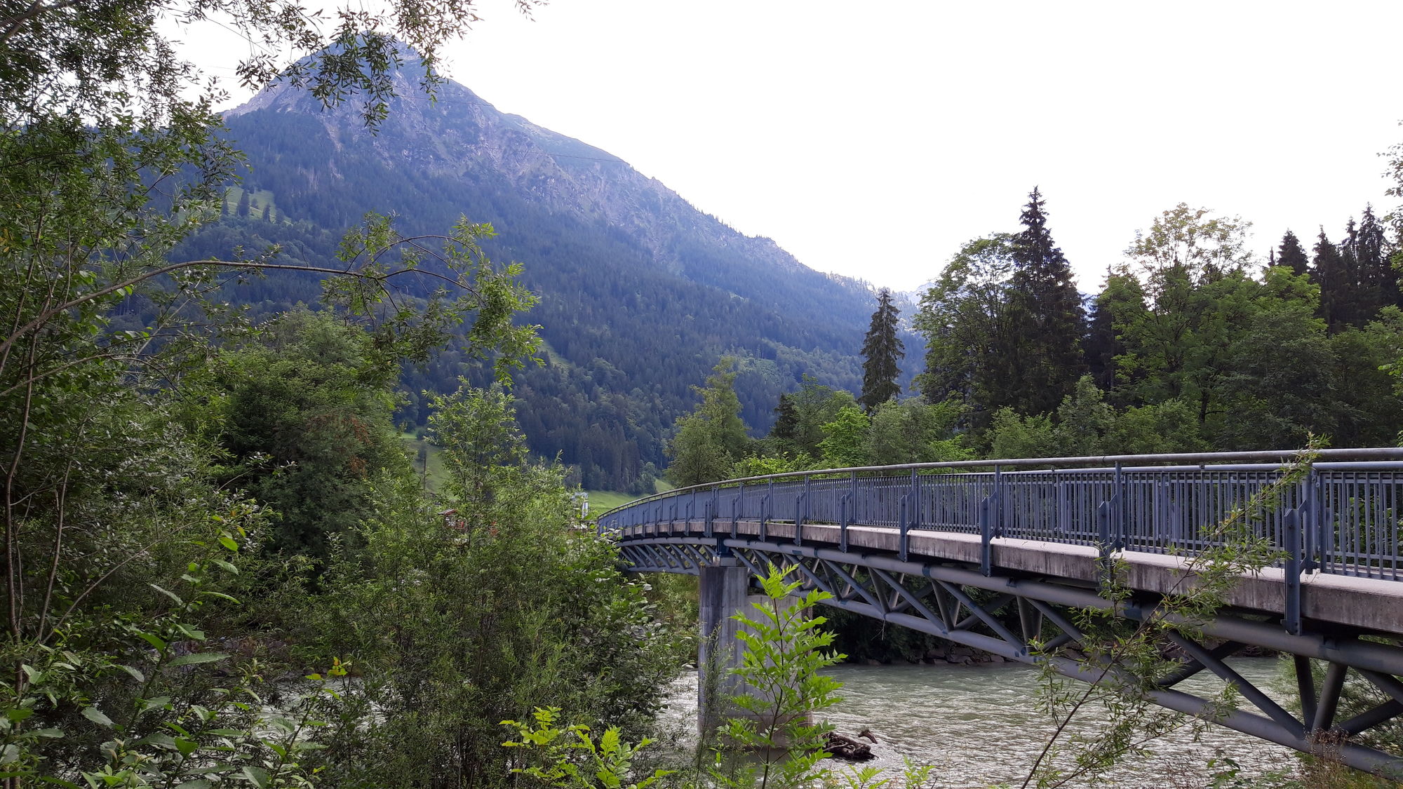
Via Immenstädter Straße out of town to Wengen up to the tunnel. On the "Alte Salzstraße" via the hamlets Knechtenhofen, Salmas, Lamprechts and Wiedemannsdorf up to shortly before the B 308. Turn left here...
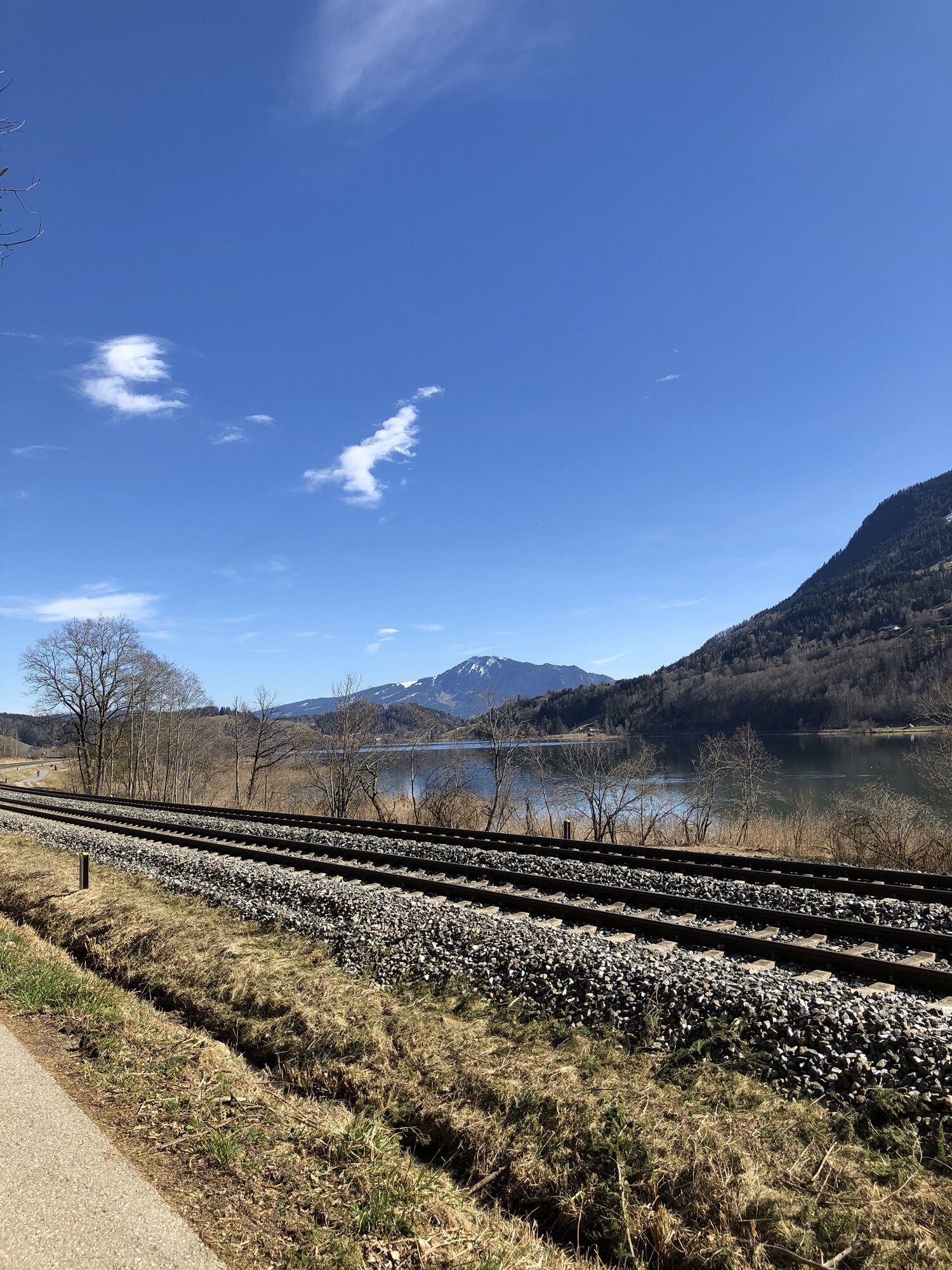
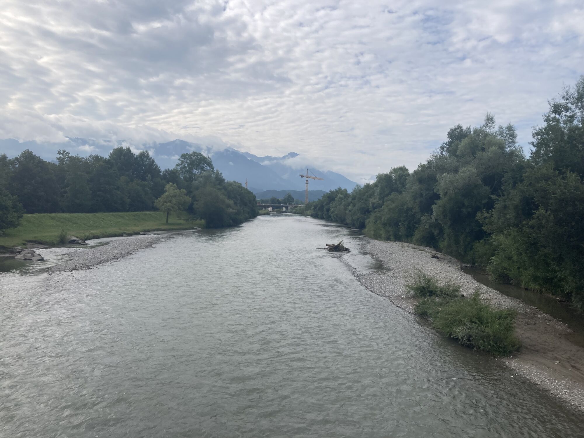
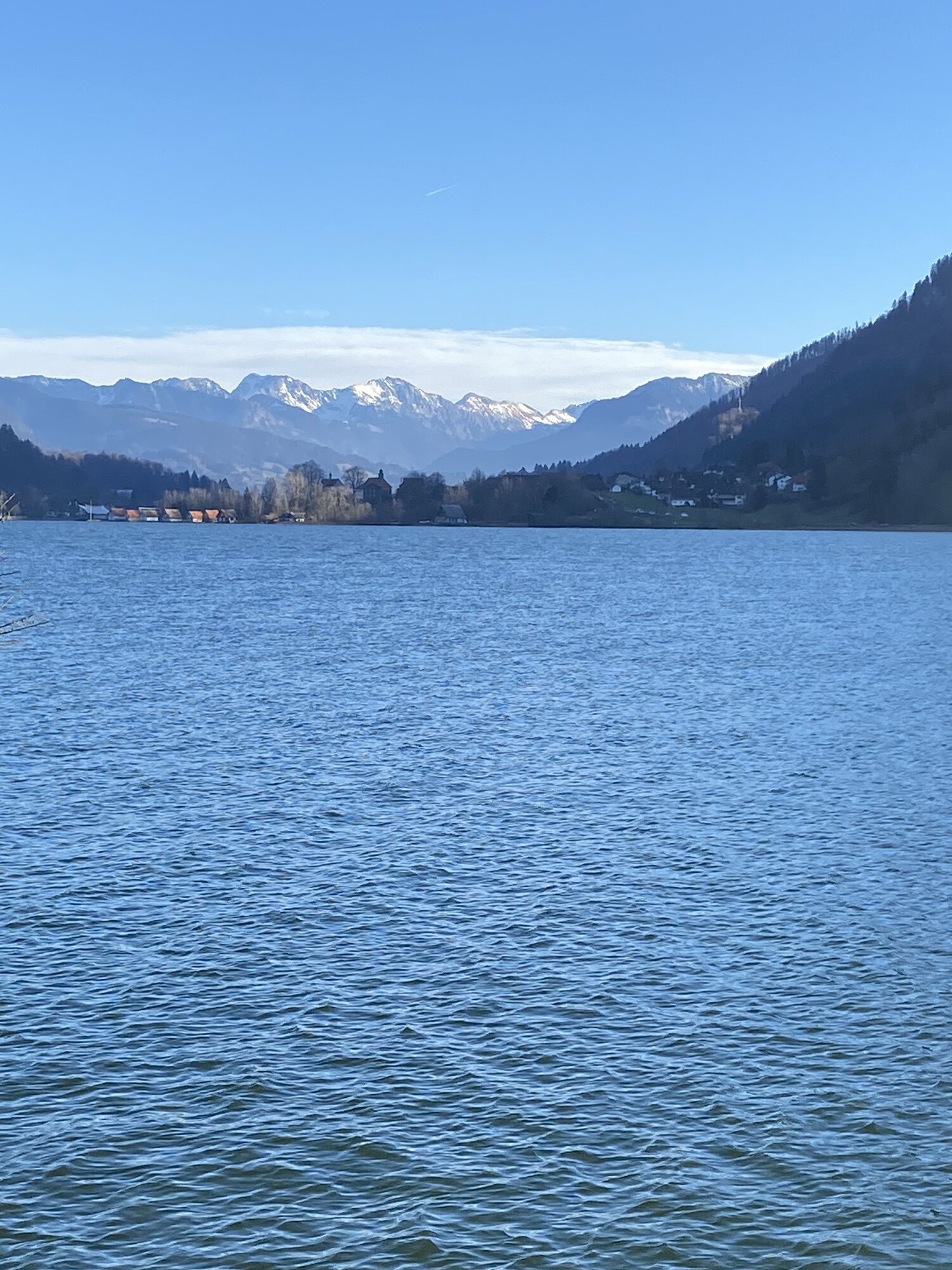
Via Immenstädter Straße out of town to Wengen up to the tunnel. On the "Alte Salzstraße" via the hamlets Knechtenhofen, Salmas, Lamprechts and Wiedemannsdorf up to shortly before the B 308. Turn left here and via Trieblings north of the Alpsee to Bühl. Behind the "Kleiner Alpsee" to Immenstadt. Follow the bicycle signage in the direction of the "hospital". Then continue to the bike path along the Iller. From here southwards past the "Inselsee" and further via Blaichach, Sonthofen, Fischen to the source of the Iller shortly before Oberstdorf. Past the sports and school grounds, you shortly reach the station in Oberstdorf, from where you return by train to Oberstaufen.

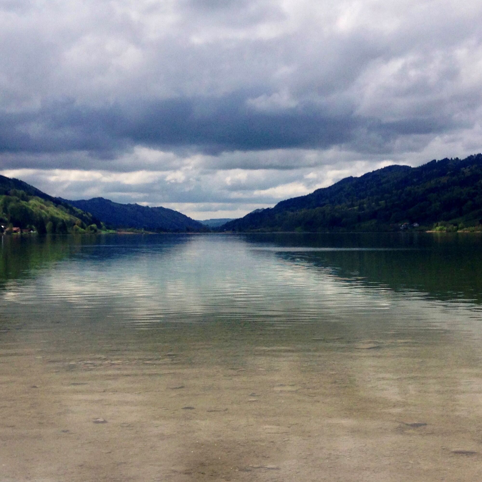

Oberstaufen station - Wengen - Thalkirchdorf - Bühl - Immenstadt - Iller dam - Iller cycle path - Blaichach - Sonthofen - Fischen - Oberstdorf
Áno
On the B 308 to Oberstaufen
By train/bus to Oberstaufen
At the station
3
Note: The route is not explicitly signposted, GPX data is available for navigation.
Webové kamery z prehliadky
-
An der Seealpe
-
Nebelhorn
-
Obermaiselstein
-
Oberstdorf Schanze
-
Oberstaufen
-
Skilifte Sinswang
-
Oberstaufen - Biohotel Schratt
-
Oberstaufen - Biohotel Schratt
-
Fischen im Allgäu
-
Segelclub Alpsee
-
Bergstation Weltcup-Express
-
Bergstation Ofterschwang
-
Gipfel Ofterschwanger Horn
-
Talstation Ossi-Reichert Bahn
-
Oberstdorf - Söllereck Berg
-
Oberstaufen
-
Oberstdorf Langlaufstadion
-
Oberstdorf
-
Oberstdorf
-
Oberstdorf
-
Schöllang - Oberstdorf
-
Oberstdorf Skiflugschanze
-
Oberstdorf Tiefenbach
-
Oberstdorf / Rubi - Hotel Viktoria
-
Kornau / Oberstdorf - Ringhotel Nebelhornblick
-
Oberstdorf - Hotel Mohren
-
Segelclub Alpsee
-
Mittaggipfel
-
Nebelhorn
-
Nebelhorn
-
Nebelhorn
-
Nebelhorn
-
Nebelhorn
-
Nebelhorn
-
Naturbad Freibergsee
-
Heini-Klopfer-Skiflugschanze
-
Nebelhorn
-
Oberstdorf - Scheibenhaus
-
Nebelhorn
-
Sonthofen - Panzer & Braun Tiefbau
Získajte prehľad
Vždy naživo na mieste s viac ako 9 500 webovými kamerami. bergfex Ako používateľ Pro si teraz môžete pozrieť príslušné webové kamery pre mnohé zájazdy v aplikácii zájazdy z. Môžete si tak priamo prezerať aktuálne podmienky.
Obľúbené výlety v okolí
-
4,5
Steibis - Buchenegger Waterfalls
strednáTuristika 6,47 km -
3,9
Klassikertour: Auf den Grünten
ťažkéTuristika 8,50 km -
4,7
Rubihorn
strednáTuristika 9,06 km -
4,1
Winter circular hike through the Breitachklamm gorge
strednáZimná turistika 5,66 km -
4,4
3-Gipfel-Tour bei Sonthofen im Allgäu
strednáTuristika 11,4 km -
4,4
Wanderung auf den grünten
strednáTuristika 8,31 km -
4,3
Starzlachklamm
strednáTuristika 5,30 km -
4,7
Rindalphorn und Hochgrat
strednáTuristika 15,6 km -
4,6
Wanderung auf den Sonnenkopf
strednáTuristika 6,60 km -
5,0
Nagelfluh ridge route Hochgrat - Mittag
ťažkéTuristika 14,0 km
Turistika a stopovanie


Nenechajte si ujsť ponuky a inšpiráciu na ďalšiu dovolenku
Vaša e-mailová adresa bol pridaný do poštového zoznamu.





