


Biber route Bad Füssing
The route leads via Safferstetten to Egglfing. Then on to Aigen am Inn. The Inn dam then leads you via Würding back to Bad Füssing

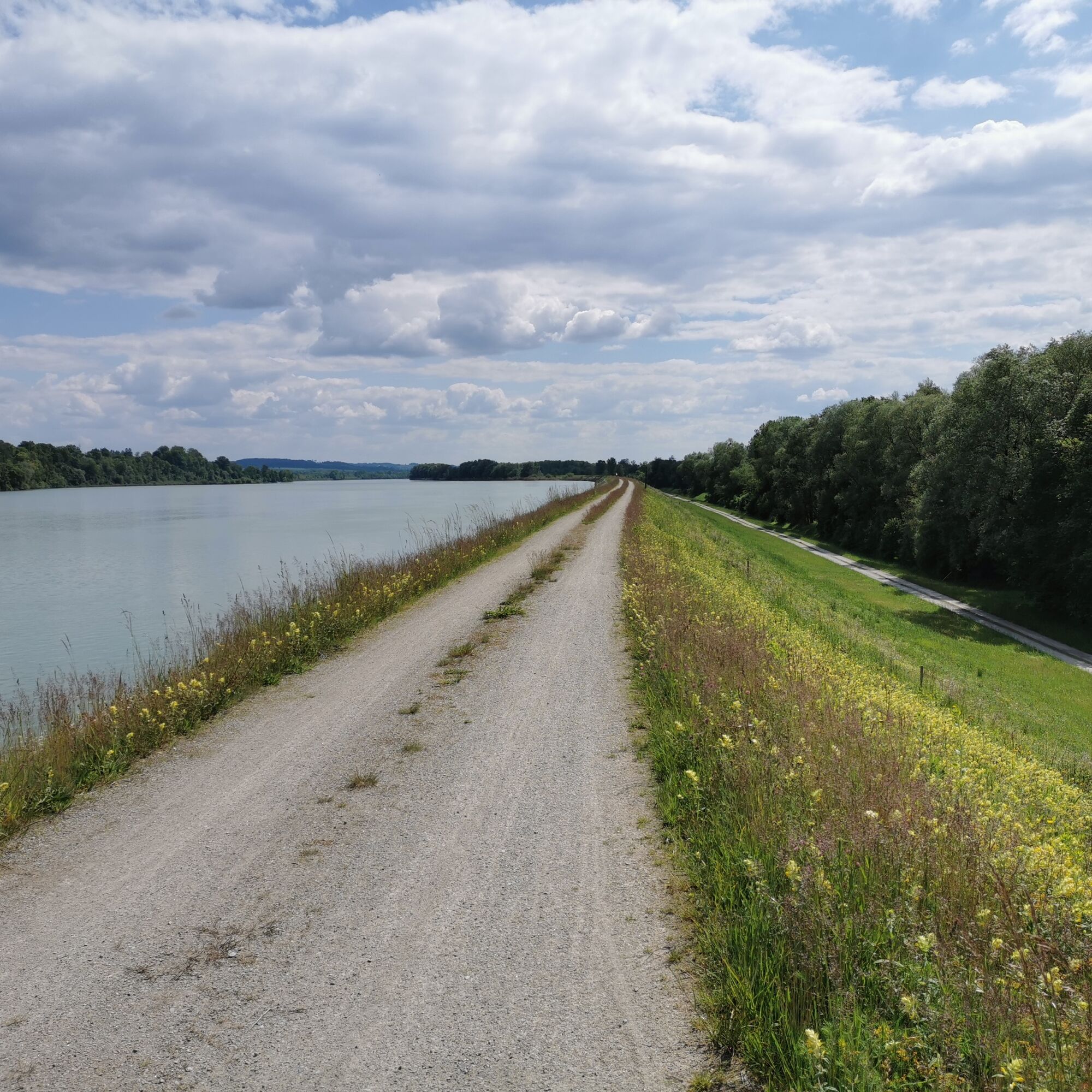
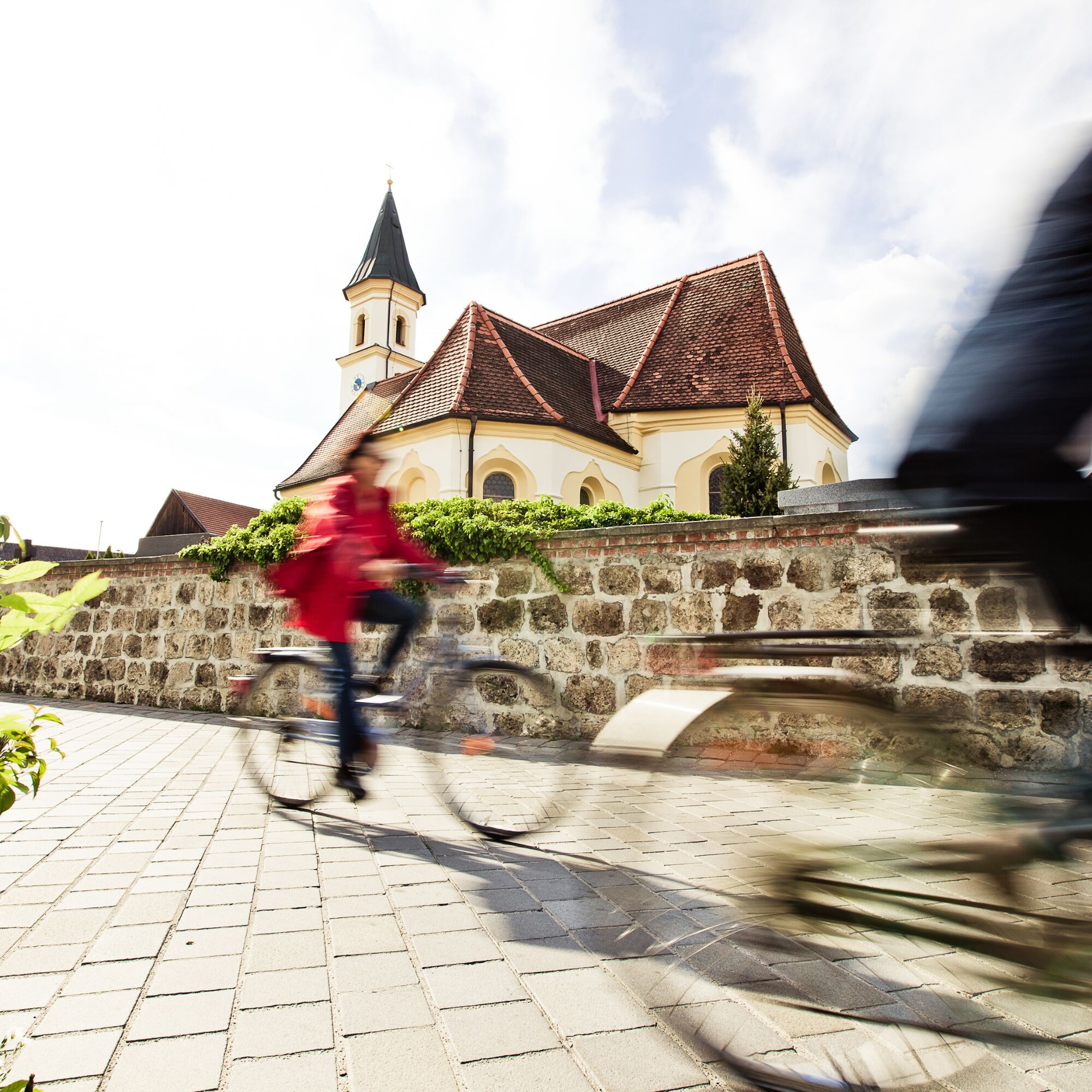

From the Kur- & Gästeservice into Safferstettener Straße to the village square Safferstetten, right into Bachstraße and immediately left again into Jägerweg. After the stream, left through the underpass, left towards Egglfing, past the campsite to the main road, right through Egglfing and at the end of the village left onto the cycle path towards Irching-Aigen am Inn. Across the roundabout, right into Penningerweg, left into Römerweg past the Leonhardimuseum to Leonhardistraße (St. Leonhard Church). Left to Herrenstraße (war memorial), right to the junction Bauerngasse. Follow Bauerngasse and turn left into Dammweg. Follow this to the Inn dam and then follow the Inn dam downstream to the Würding exit. Here the route leads over Magazinstraße onto Untere Inntalstraße, then left to the Hochrainstraße junction, over the overpass on the cycle path further through Kurwald to Frankenberger Chapel. From there left onto Kurhausstraße and promenade back to the center.
Disruption of the route due to construction work on the Inn from approximately May 2025 to July 2025.
Please pay attention to the signposted detour.
Changes reserved!
No winter service on the Inn!
Parking lot of the Kur- and Gästeservice
https://www.badfuessing.com/de/radtouren
Leonhardikirche and Leonhardimuseum in Aigen am Inn. Ornithology trail on the Inn.
Obľúbené výlety v okolí
-
Grenzgänge mit Boot 1: Saalach - Salzach - Inn - Donau
svetloKajak / Kanu 152,8 km -
3,5
Saurüssel Radweg
svetloCyklistika 126,4 km -
Winter circular hike around Bad Füssing on January 19, 2025
svetloTuristika 4,92 km -
4,0
ILE Bad Füssinger Inn - Tour
Turistika 11,1 km -
5,0
Fish route Bad Füssing
strednáCyklistika 49,8 km -
Römerradweg von Vöcklabruck - Passau: Wohlfühlstadt Vöcklabruck
Cyklistika 438,1 km -
5,0
Schlange route Bad Füssing
svetloCyklistika 22,1 km -
P. IVV Moosham Runde / Bewegungs - Arena INNVIERTEL
Prechádzka 9,86 km -
Hirsch route Bad Füssing
strednáCyklistika 42,0 km -
Route Blatt Bad Füssing
strednáCyklistika 22,8 km
Turistika a stopovanie


Nenechajte si ujsť ponuky a inšpiráciu na ďalšiu dovolenku
Vaša e-mailová adresa bol pridaný do poštového zoznamu.