


Cycle route Passau-Schlögen-Passau | UNESCO World Heritage Danube Limes: Roman traces on the Danube Cycle Path
Úroveň náročnosti: 2


Fotografie našich používateľov
-
 © Bernhard.BreiteggerVytvorené dňa 17.08.2025
 -

 © Rudi ArtnerVytvorené dňa 07.08.2025
 -
 © Rudi ArtnerVytvorené dňa 07.08.2025
 -
 © Michael KoglerVytvorené dňa 16.07.2025
 -
 © rachliVytvorené dňa 04.06.2025
 -

 © Utassy Tóth JohannaVytvorené dňa 20.09.2024
 -
 © Utassy Tóth JohannaVytvorené dňa 20.09.2024
 -
 © Utassy Tóth JohannaVytvorené dňa 20.09.2024
 -
 © Utassy Tóth JohannaVytvorené dňa 20.09.2024
 -
 © Utassy Tóth JohannaVytvorené dňa 19.09.2024
 -

 © karin1108Vytvorené dňa 28.06.2024
 -
 © Erwin KrumböckVytvorené dňa 27.09.2023
 -
 © Funk BernhardVytvorené dňa 15.01.2023
 -
 © Funk BernhardVytvorené dňa 15.01.2023
 -
 © Funk BernhardVytvorené dňa 15.01.2023
 -
 © ReginaStVytvorené dňa 11.04.2025
 -
 © ReginaStVytvorené dňa 11.04.2025
 -
 © ReginaStVytvorené dňa 11.04.2025
 -
 © ReginaStVytvorené dňa 11.04.2025
 -
 © Thomas SikoraVytvorené dňa 05.04.2025

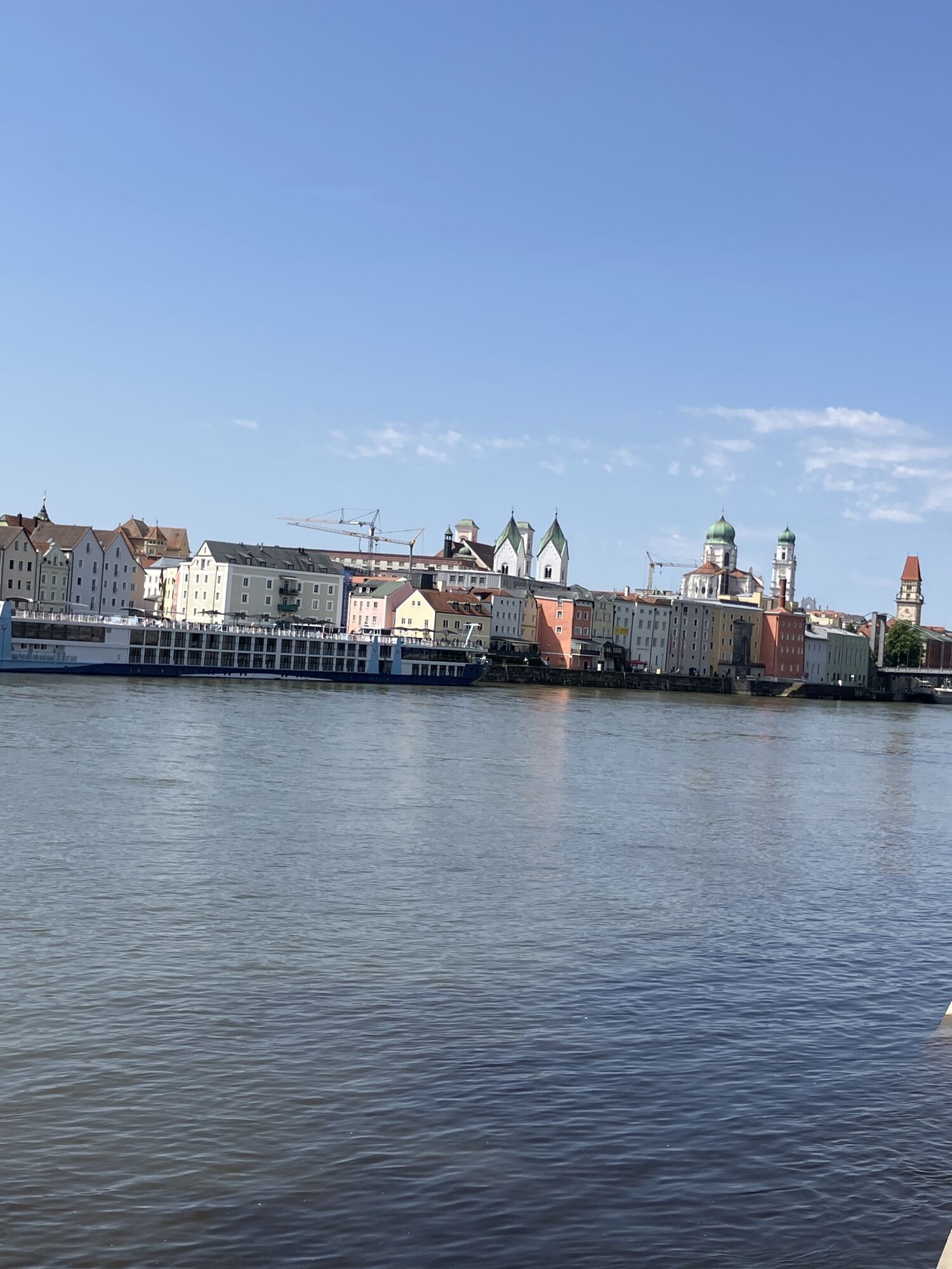


Worth seeing along the Passau - Schlögen - Passau route are the Three Rivers City of Passau, the Danube market Obernzell, one of the last Zillen builders in Austria, the natural jewel Schlögener Loop,...
Worth seeing along the Passau - Schlögen - Passau route are the Three Rivers City of Passau, the Danube market Obernzell, one of the last Zillen builders in Austria, the natural jewel Schlögener Loop, the Roman Burgus in Oberranna, Engelszell Abbey, the Mini Danube water adventure park, the Petrus Church in Pyrawang and Krämpelstein Castle.
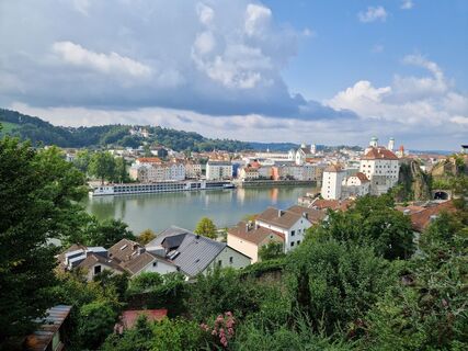
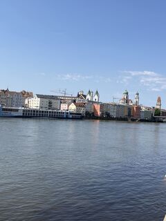
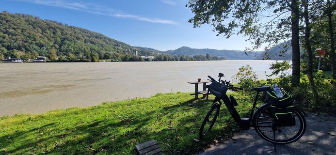
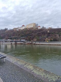
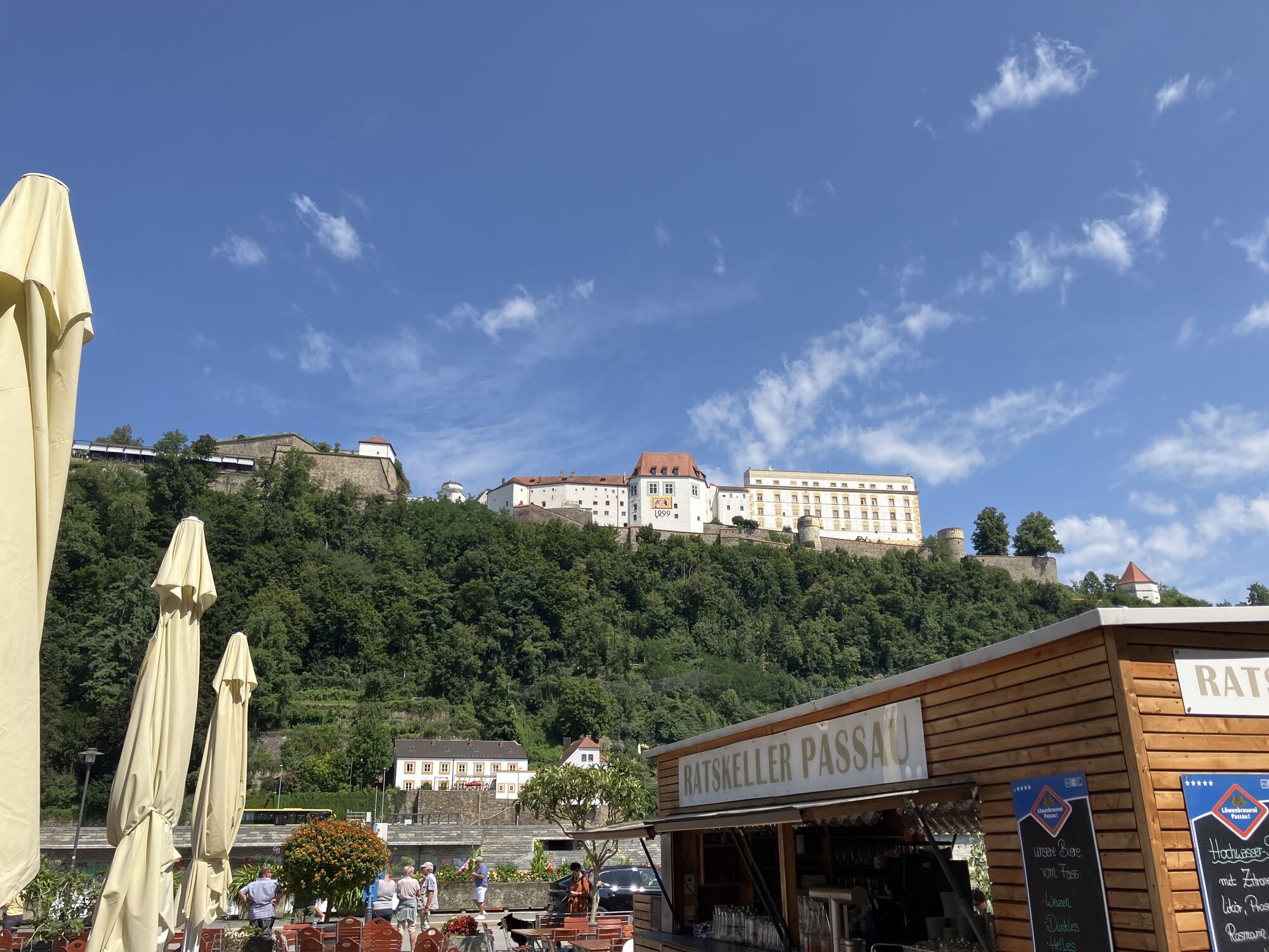
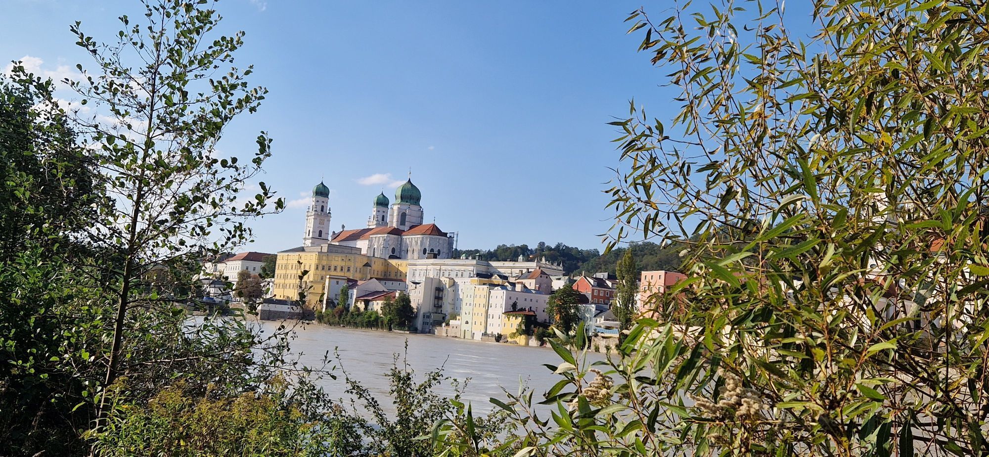
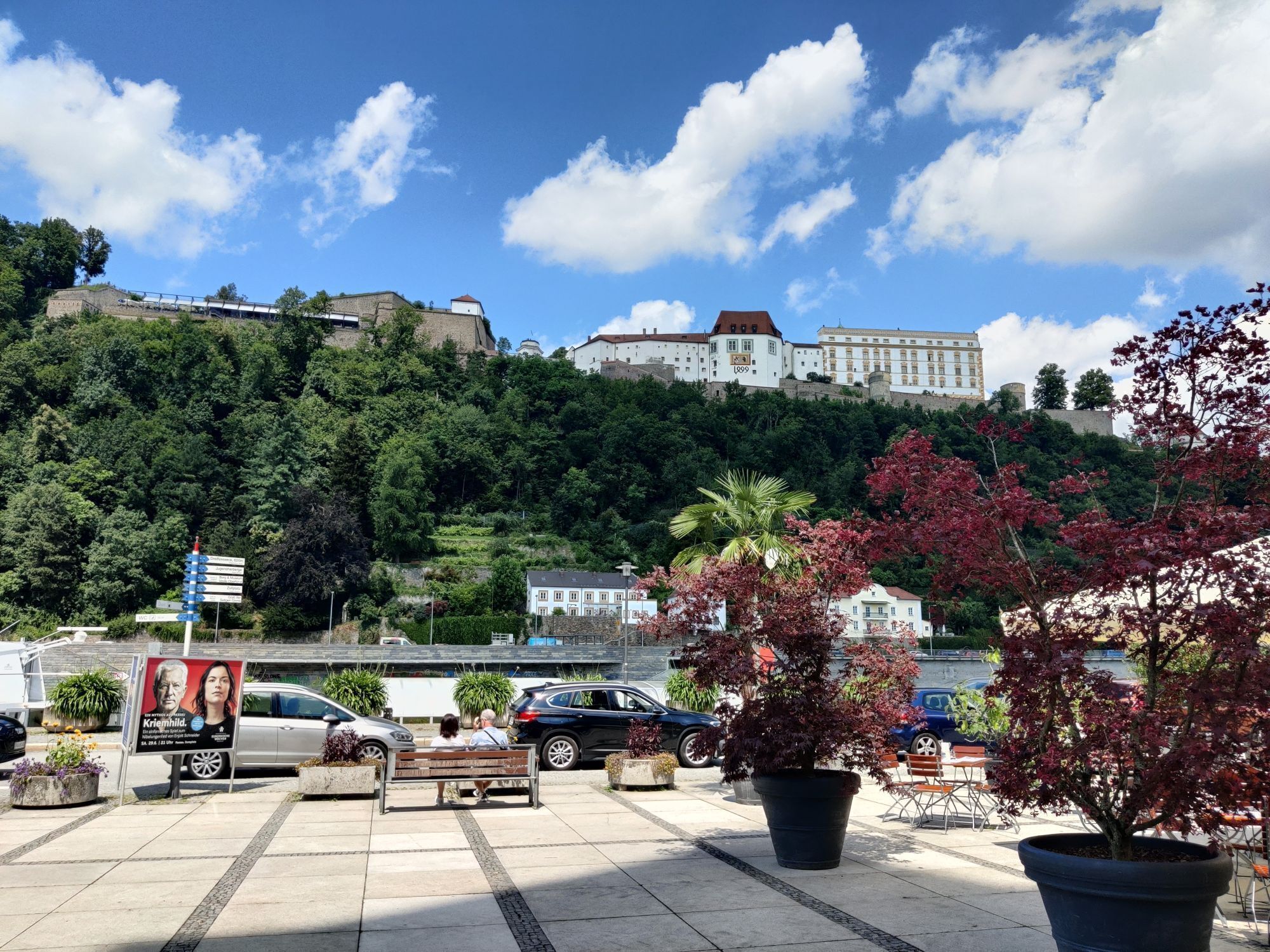
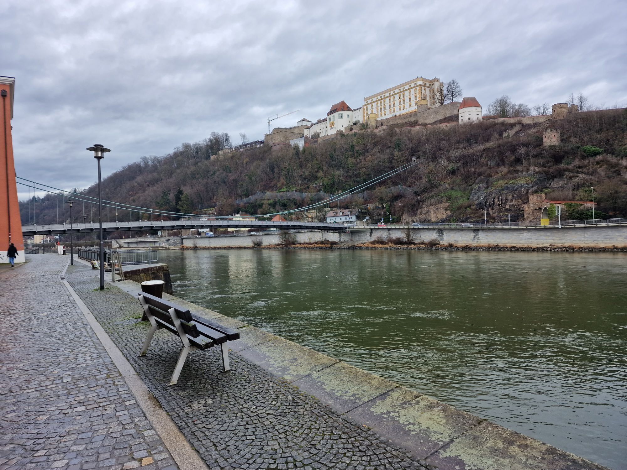
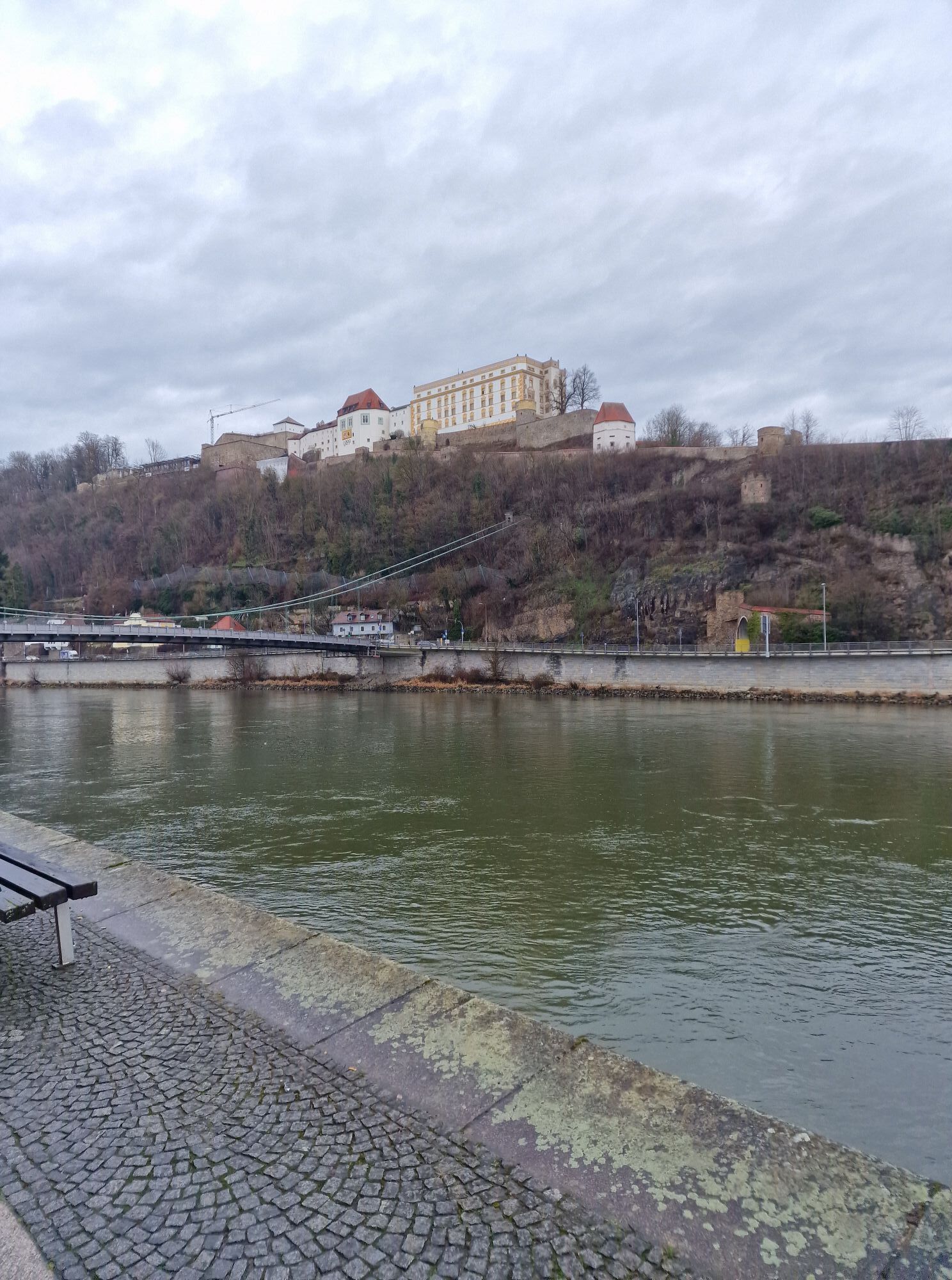
You start the stage directly at Passau station. To reach the Danube as quickly as possible, follow the sign "to the Danube Cycle Path" and a few moments later you can already catch the first glimpse of your future companion. Follow the course of the river downstream and cross the Danube via the Luitpold Bridge. Already here you can see the Veste Ober- and Niederhaus, which combines seat of power, residence, administrative building and fortress.
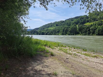
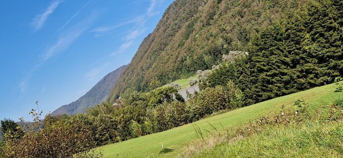
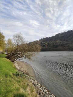
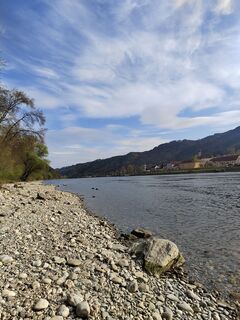
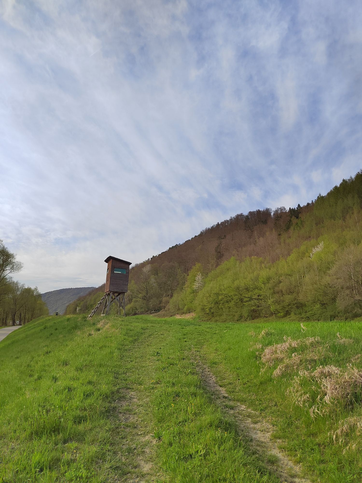
After crossing the Ilz Bridge, keep right and from now on always follow the signposted path along the Danube. Soon you will enter the Donauleiten nature reserve, whose steep slopes mark the southern edge of the Bavarian Forest. The slopes are mostly densely wooded, with bizarre rock formations visible only in a few places. Due to the steep terrain and southern exposure, the nature in this area is largely untouched and impresses with a diverse flora and fauna.
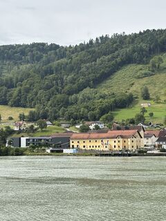
In Erlau you cross the eponymous stream and follow the cycle path to Obernzell. A few kilometres downstream you pass the "Haus am Strom", whose architecture resembles the shape of a wave. With numerous water features, an exhibition and a beer garden with regional cuisine, the house offers a welcome spot for a break.
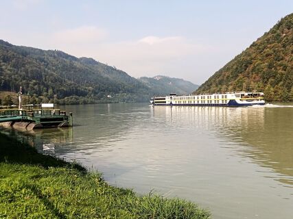
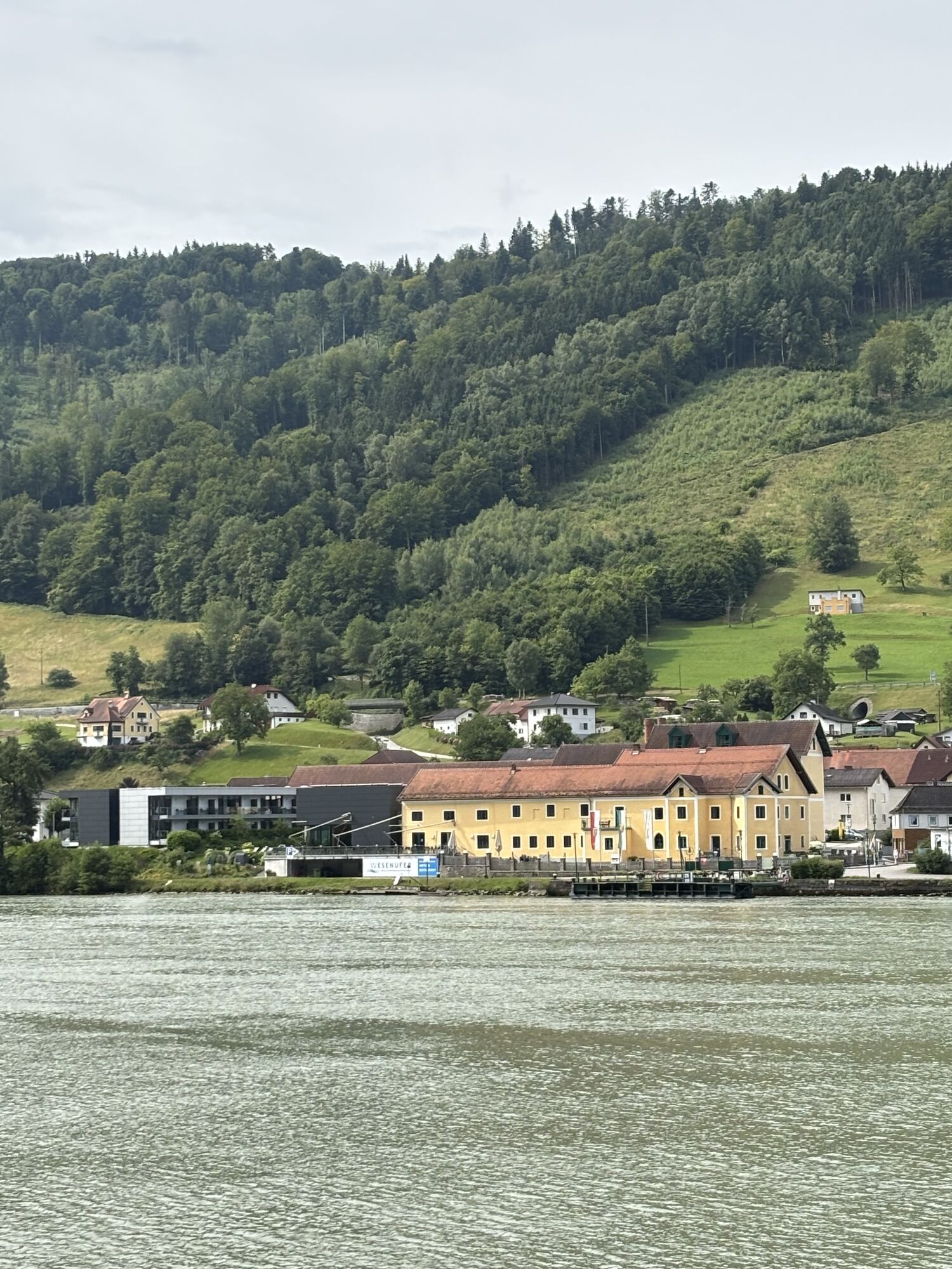
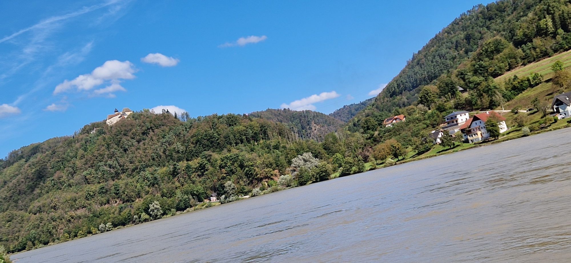
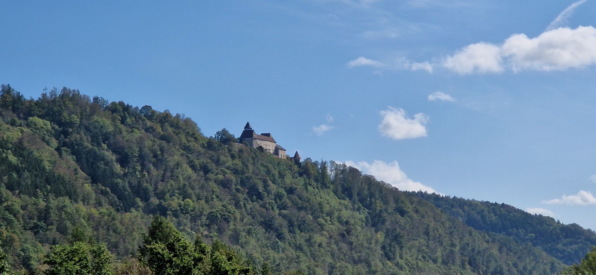
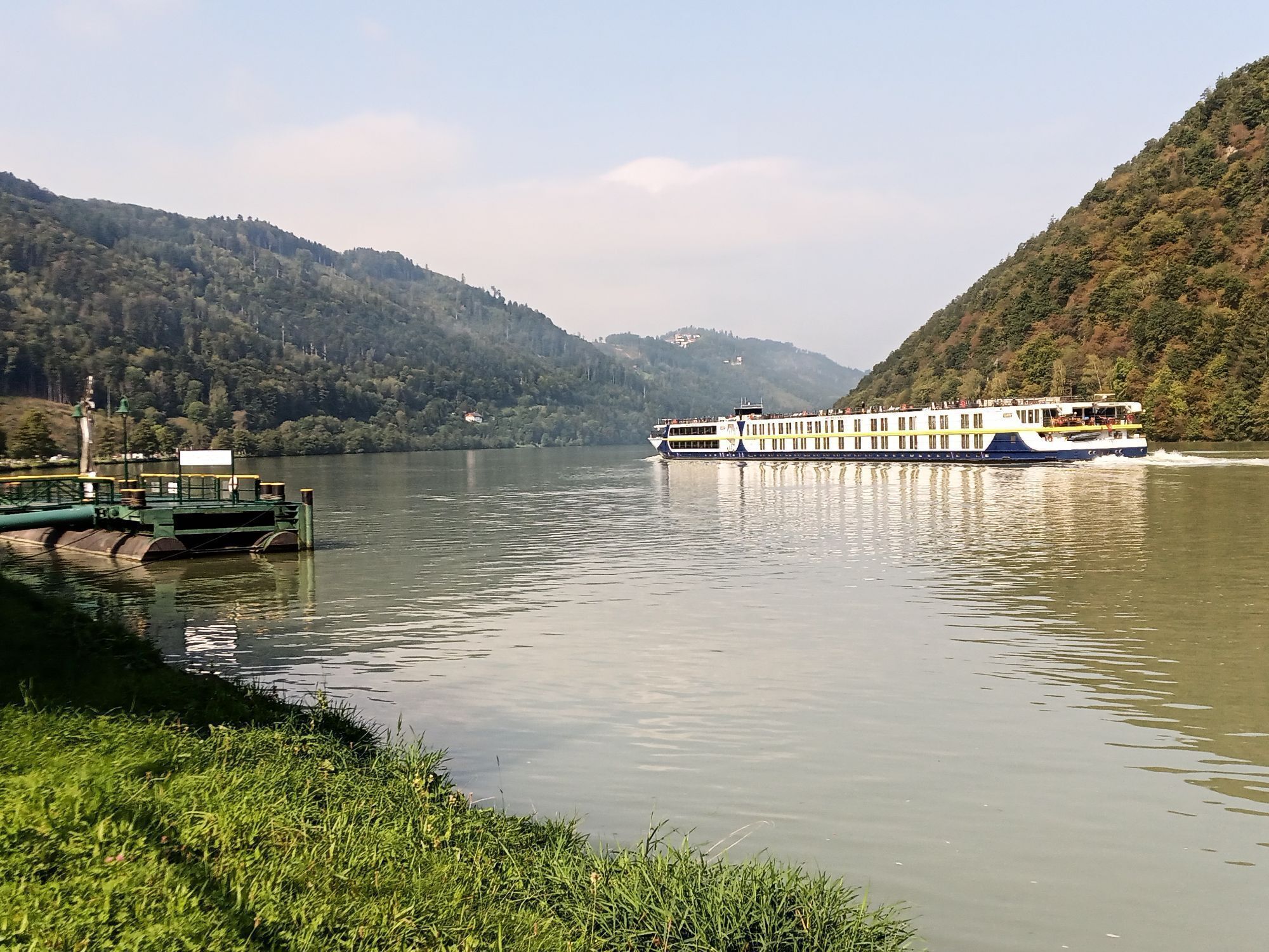
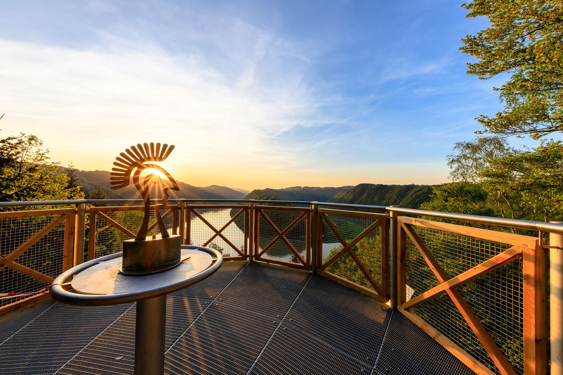
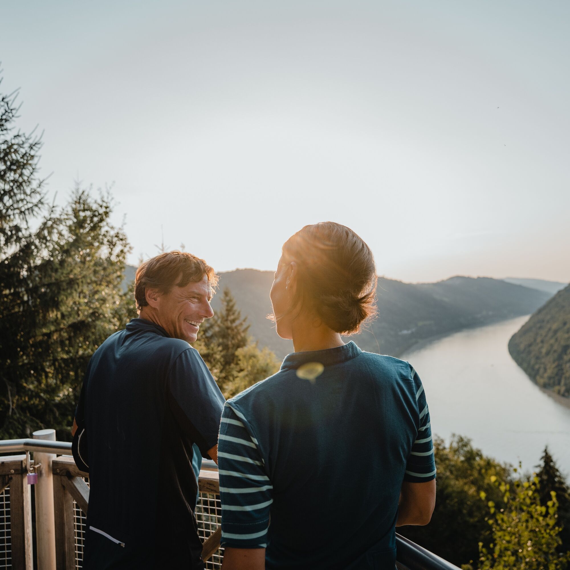
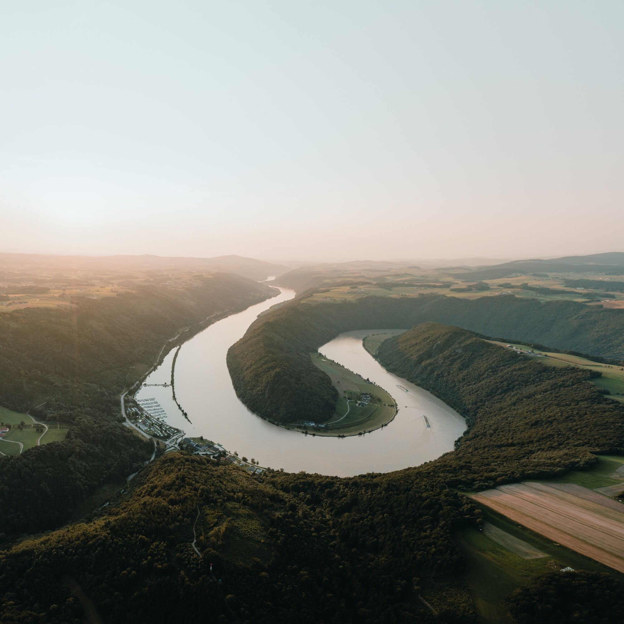
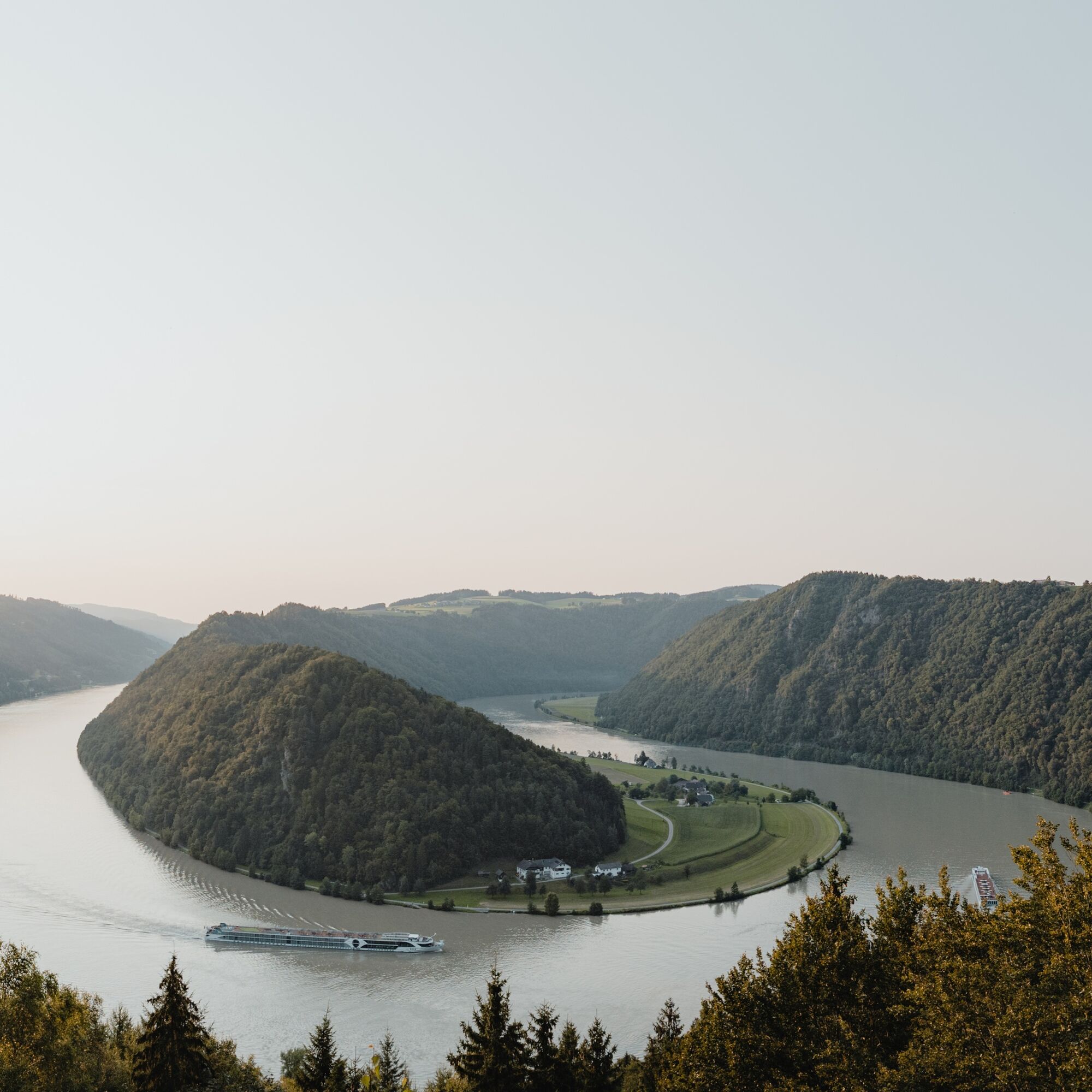
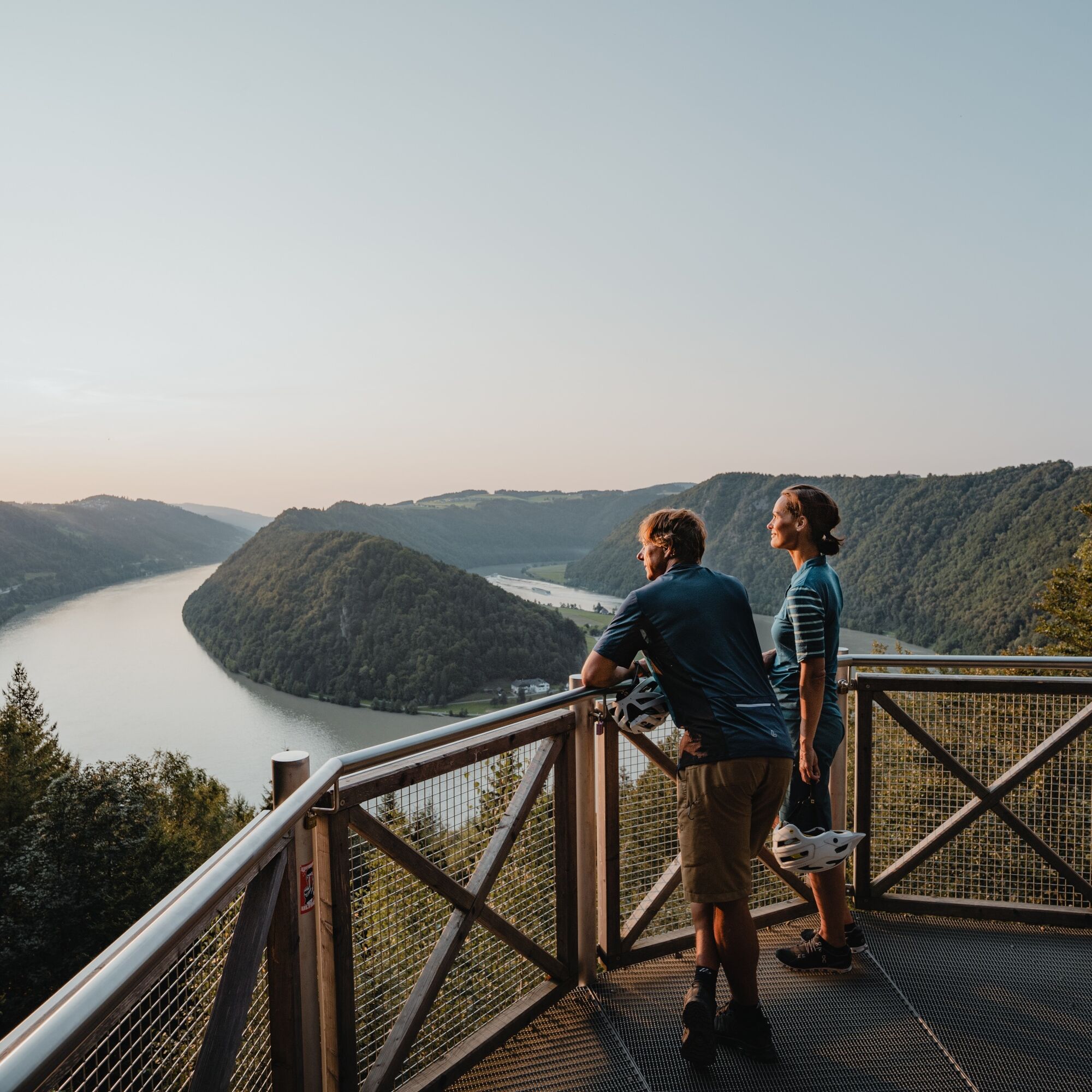
In Niederranna, one of the last Zillen builders can be found at the Zillen rental Witti. Shortly after the Haichenbach ruin, the famous Schlögener Loop begins on the ridge, where the Danube describes a picturesque 180° curve. With a short ferry ride, you reach Schlögen on the southern shore.
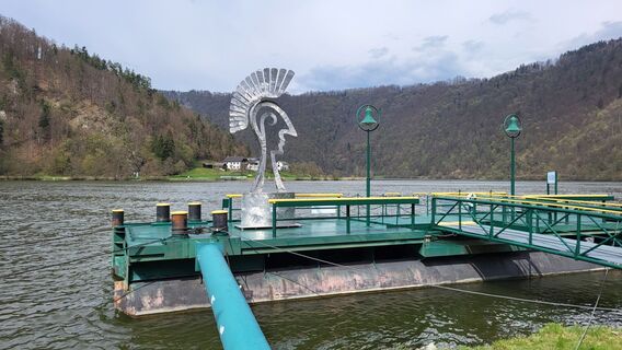
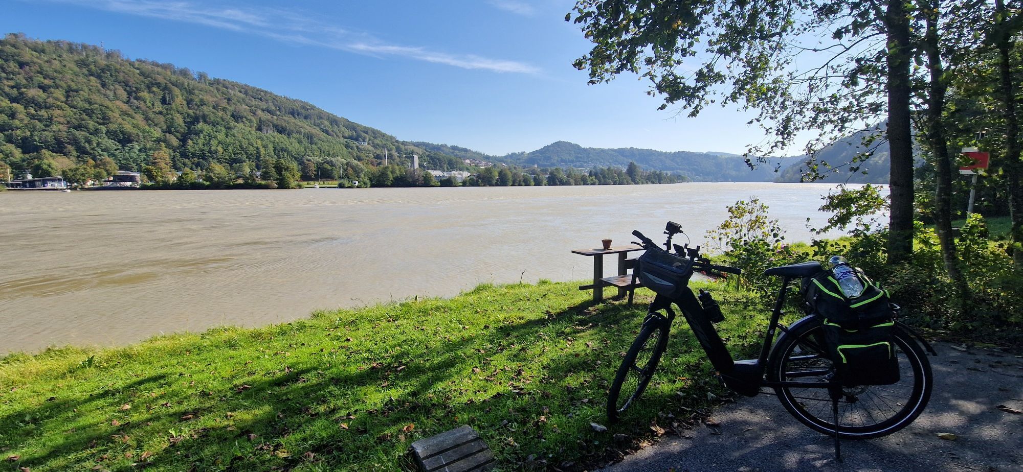
The return journey to Passau now takes place on the southern shore. On the newly developed Danube Cycle Path, you reach Wesenufer. To avoid cycling on the busy federal road to Engelhartszell, we switch to the northern side (Niederranna) until the new cycle path on the southern shore is completed. With the Engelhartszell ferry, you can switch back to the southern shore. Highlights in Engelhartszell are the Trappist Abbey Engelszell and the Mini Danube (with large aquarium).
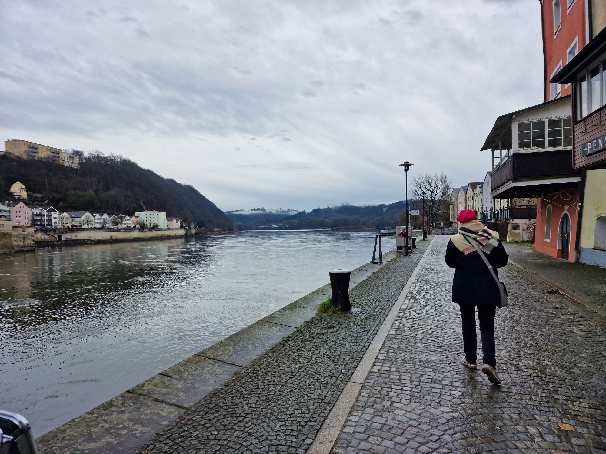
The cycle path leads back to the Three Rivers City of Passau through the Danube towns of Kasten and Pyrawang.
Áno
Áno
2
It is recommended to plan the route for two days with an overnight stay. Bicycle-friendly establishments on the Danube Cycle Path can be found here.
Discovery journeys with a pleasurable stopover! This route leads directly past the following culinary partners:
Fish Restaurant Gasthof Luger
Wesenufer Hotel & Seminar Culture on the Danube
Riverresort Donauschlinge
Obľúbené výlety v okolí
-
3,7
Waldkirchen: 4/4 View Round | Large Danube Resonance Path Round
strednáTuristika 12,9 km -
4,7
Hofkirchen: Waterfall round
strednáTuristika 8,43 km -
5,0
Ranna-Stausee
svetloTuristika 12,2 km -
4,0
Panoramaweg
svetloTuristika 7,53 km -
5,0
Kneipp,- Fitnessweg im Rannatal
svetloTuristika 3,79 km -
4,0
R1.05 Sauwald Panorama Route
strednáCyklistika 57,8 km -
5,0
Rannastausee
svetloTuristika 9,03 km -
3,5
Esternberg: Kößlbachrunde
svetloTuristika 15,8 km -
3,0
Dunajská cyklocesta, 1. etapa, severný breh: Passau - Schlögen
svetloDiaľková cyklotrasa 40,8 km -
5,0
Engelhartszell: Trappist Round
strednáTuristika 12,0 km
Turistika a stopovanie


Nenechajte si ujsť ponuky a inšpiráciu na ďalšiu dovolenku
Vaša e-mailová adresa bol pridaný do poštového zoznamu.