







R1.05 Sauwald Panorama Route

Úroveň náročnosti: 3
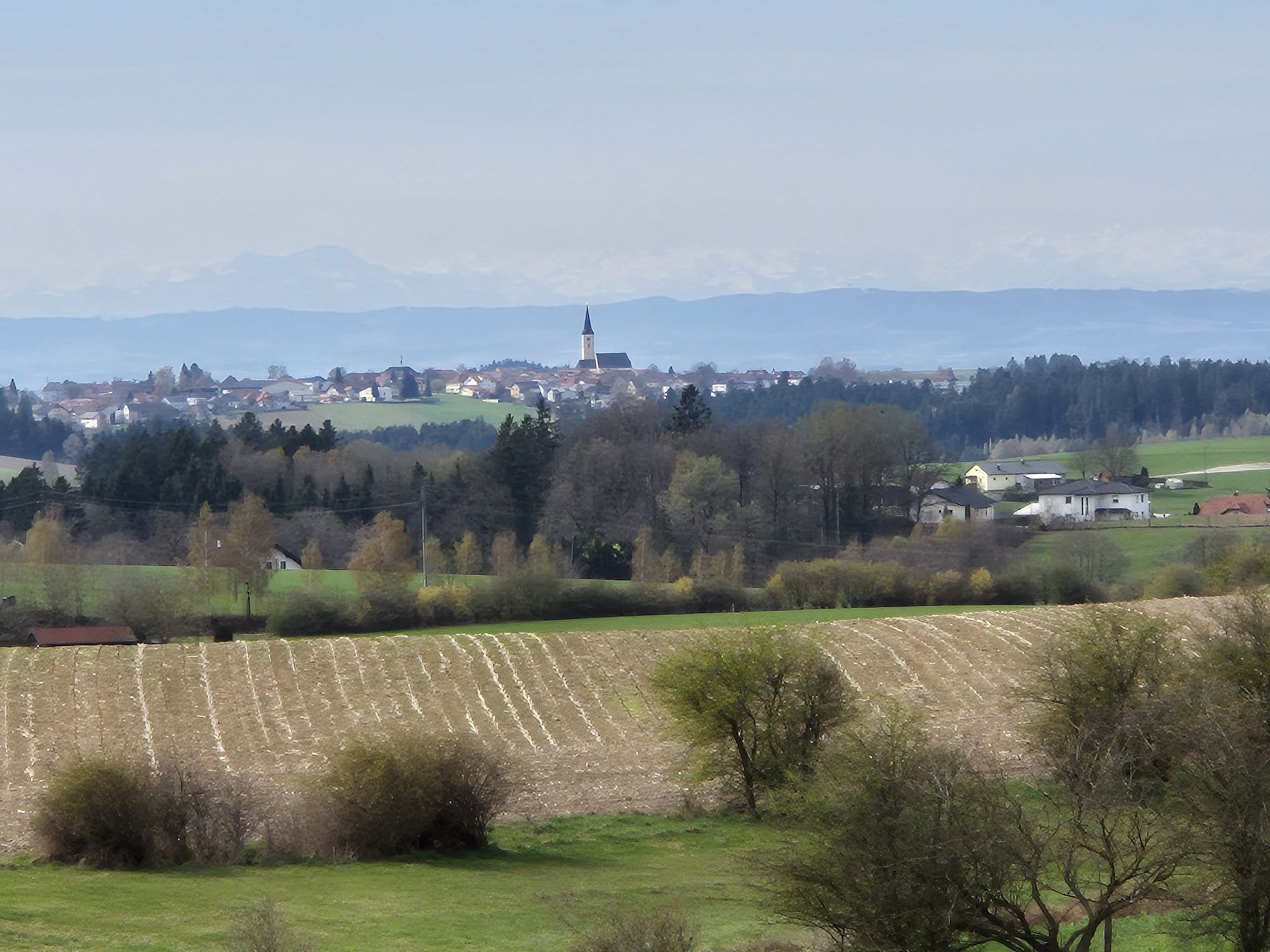
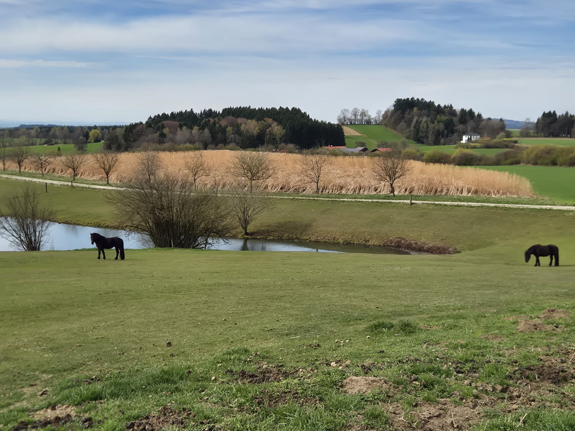
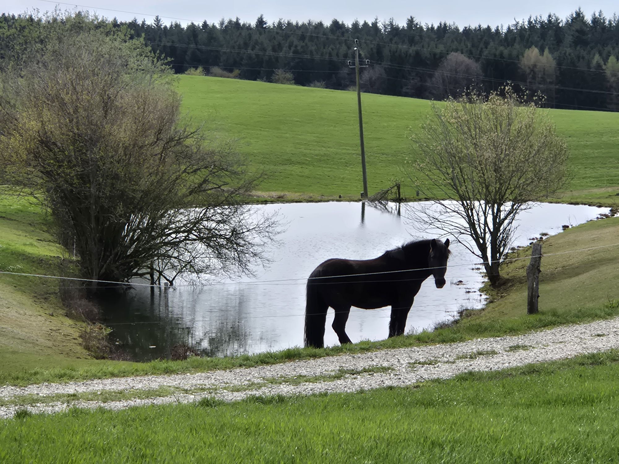
Great highland cycling route over the rural Sauwald high plateau. The rugged highland south of the Upper Danube valley fascinates with mystical forests, a mosaic of fields and meadows, traditional farm...
Highlights:
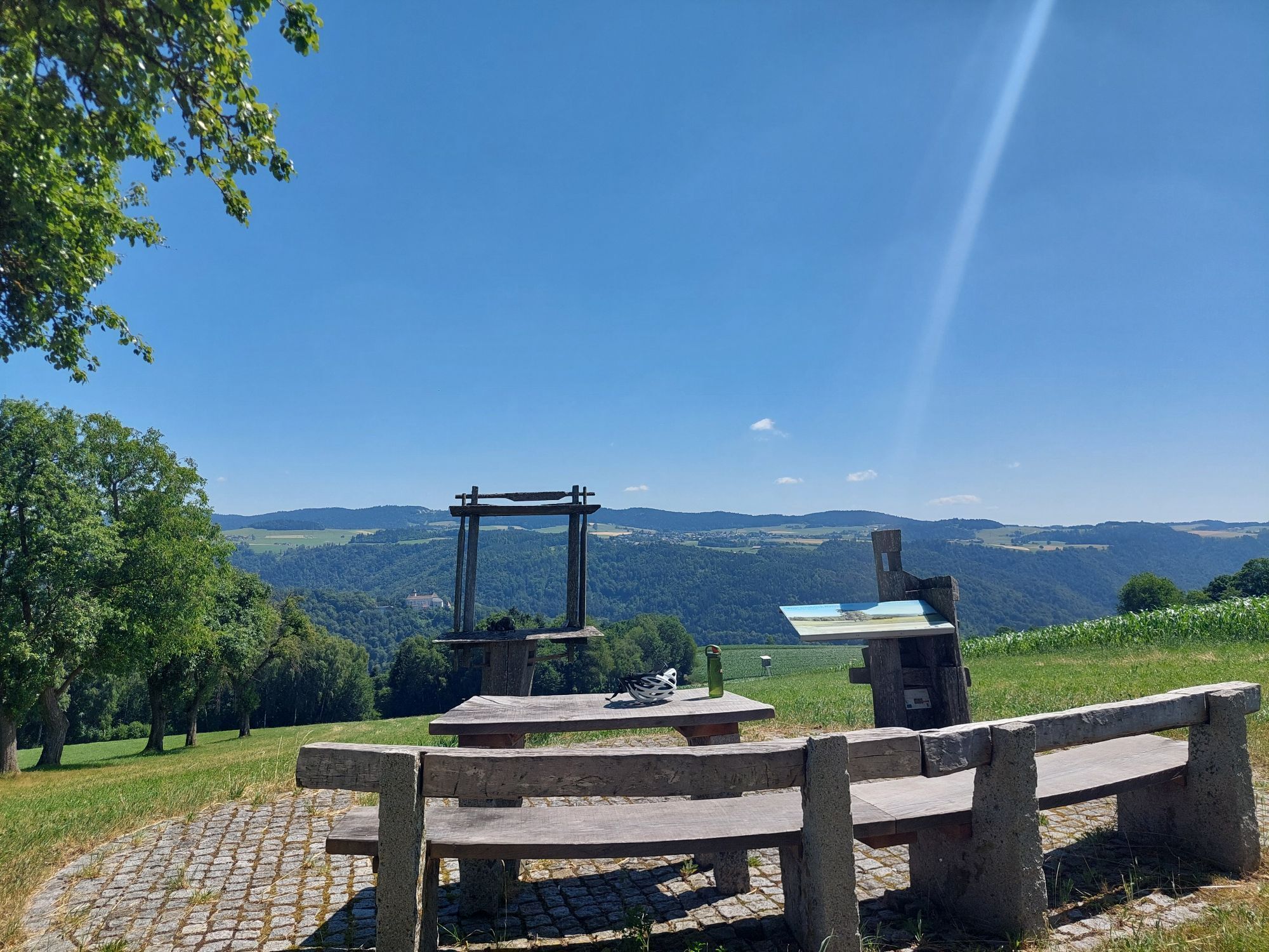
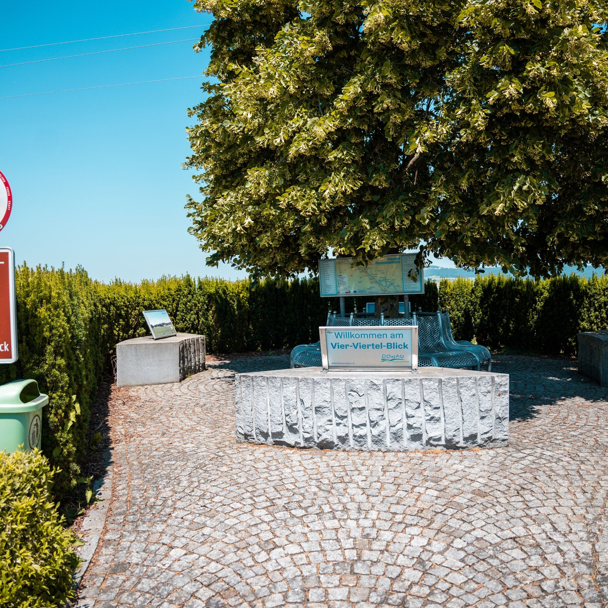
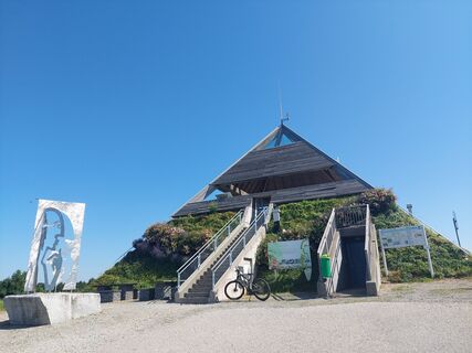
WaldEntdeckerWelt with the Treetop Path in Kopfing (world's longest treetop path, nature experience world) Meditation pyramid on the Etzinger hill (architectural highlight, Alpine view) Sauwald Panorama Road (staged panoramic viewpoints) IKUNA Nature Resort and Nature Adventure Park Four-quarters View (panoramic view over the four quarters of Upper Austria)
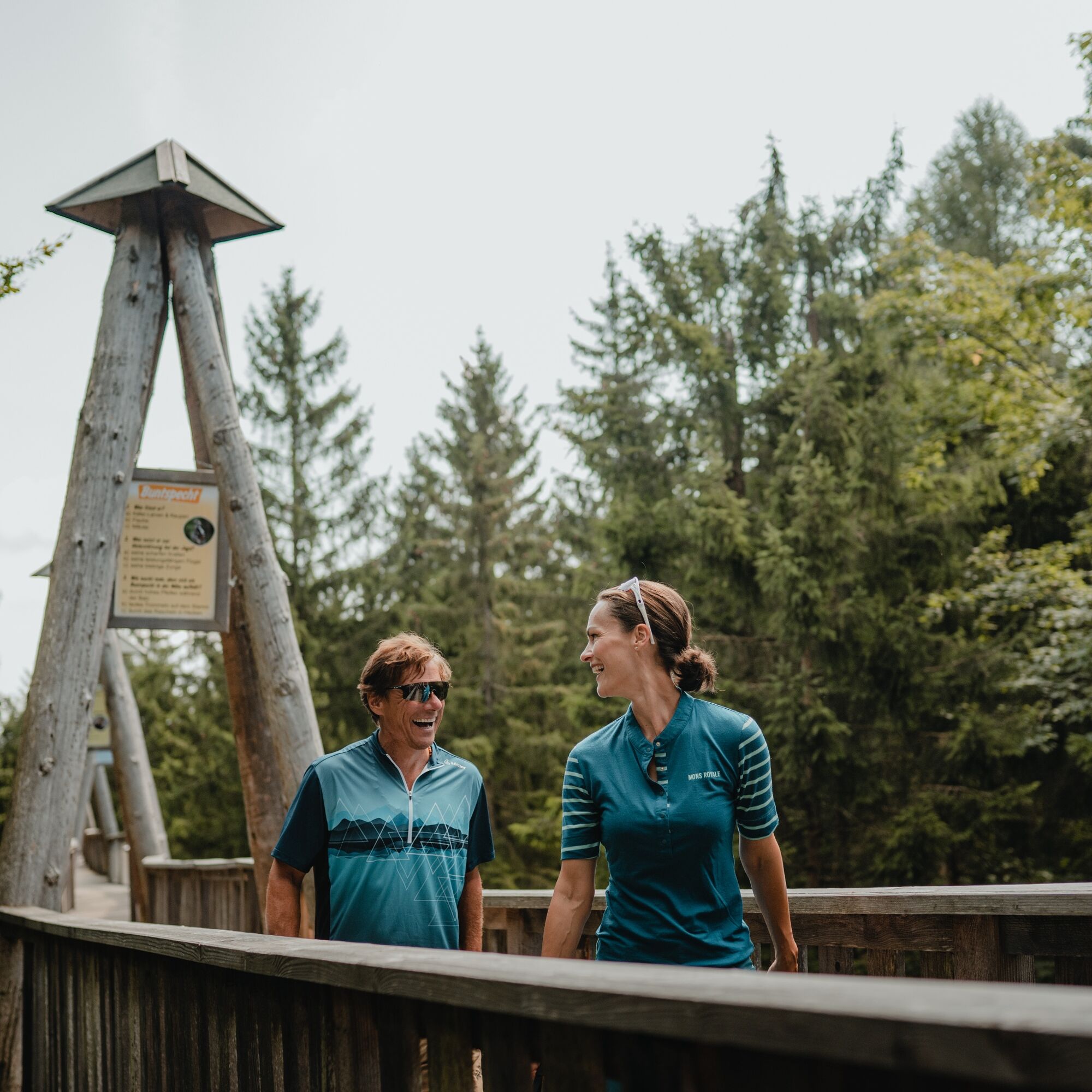
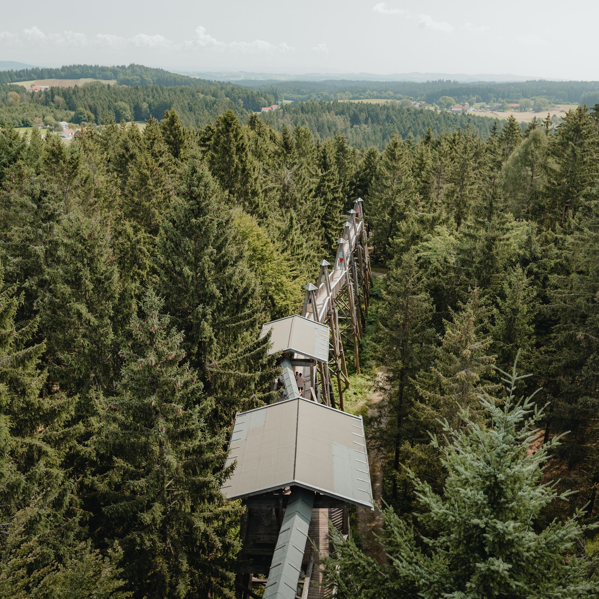
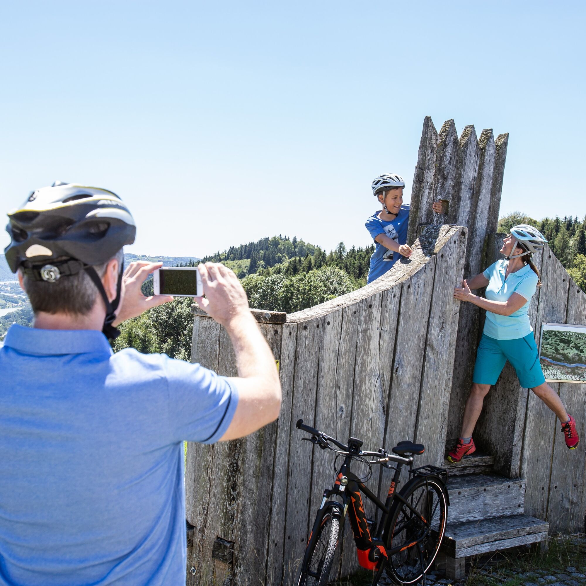
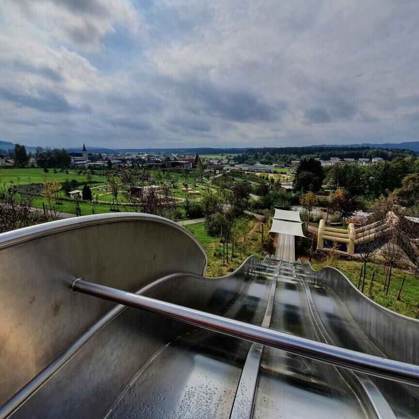

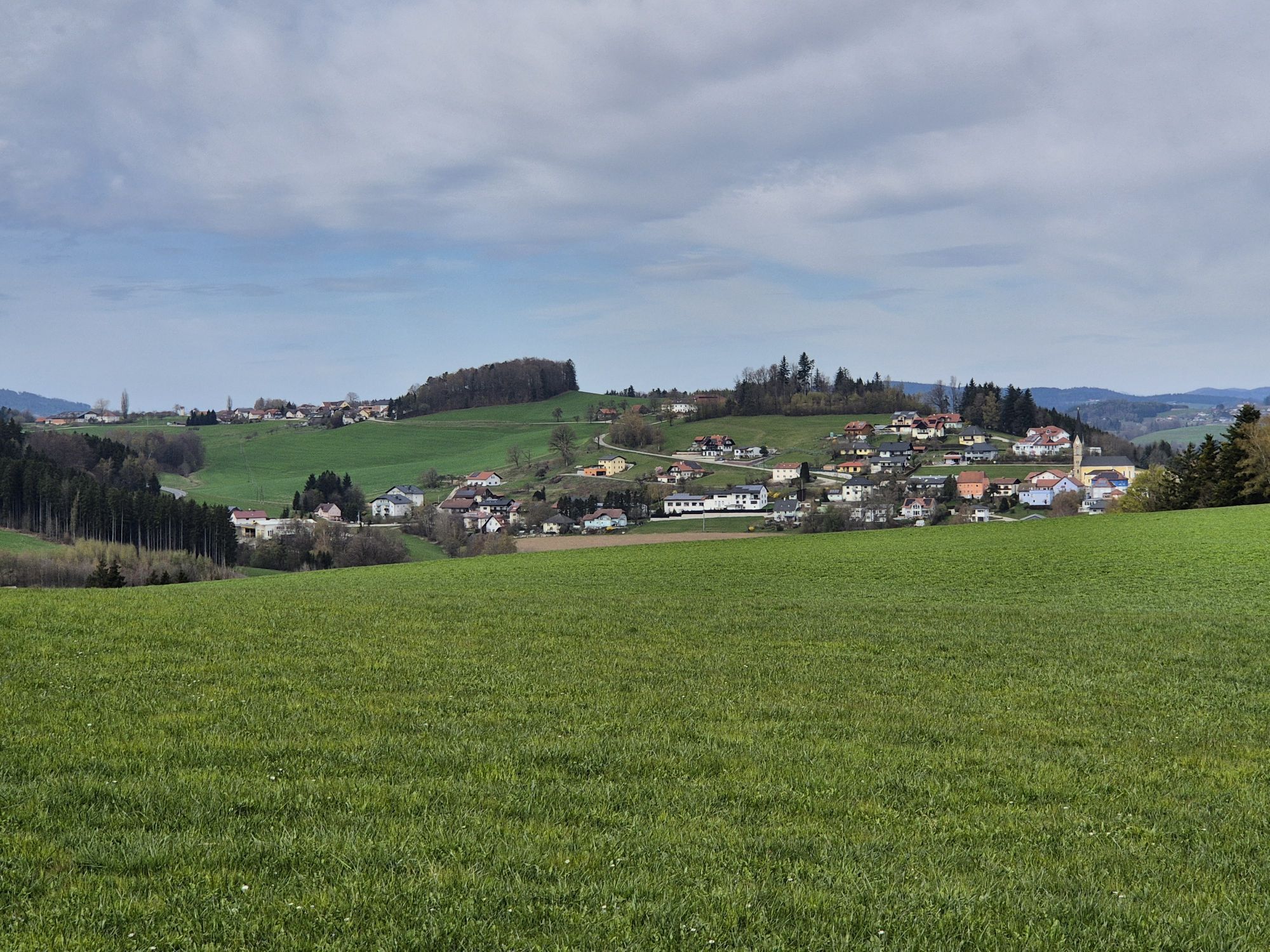
On Kopfing street, you climb hilly towards Entholz. Shortly after, you enter the mystical forests of Sauwald. Almost flat forest paths lead through magnificent mixed forest past the legendary Jungfraustein – a rocking stone and ancient cult site! Here you can atmospherically trace the original (Sau)wald landscape. Afterwards, you cycle leisurely on lonely side roads gently downhill through the extensive Hörzinger forest, softly hilly. Rural oases amid the forest sea recall the strenuous land cultivation. Towards the valley, lush meadows, fertile fields, scattered farms, and small woods dominate the route – pure Sauwald countryside idyll!
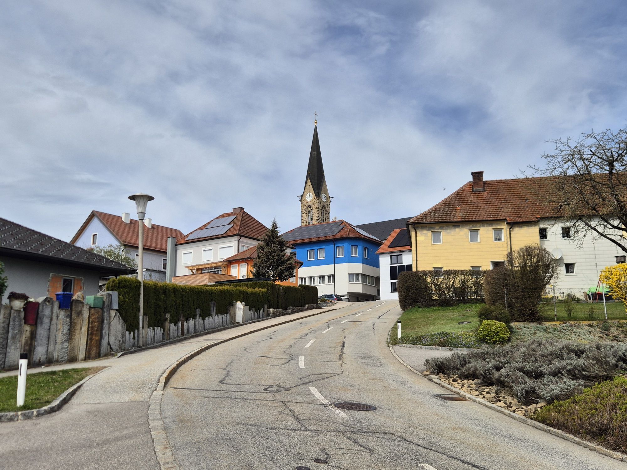
From Reiting, 2 km of a brisk descent to Natternbach provide a speed rush. The pleasant market town – also a clustered village – played a key role in the Upper Austrian Peasants’ War. The high elevation and beauty of Sauwald explain the proud self-consciousness of the locals. A short ascent to a plateau, then through a mosaic of fields to Neukirchen am Walde. The archetypal marketplace tells of historical importance; the former Spättenbrunn castle of medieval lordship. From the plateau, a 2.4 km delighting descent leads down to Willing, the lowest point (391 m) of the route! Through the steep forest gorge of the forest stream, the road quickly climbs opposite. In Hofstetten, the toughest part is done: you cycle gently hilly over lonely farmland – partly along natural field paths – upwards to the elevated village of St. Agatha.
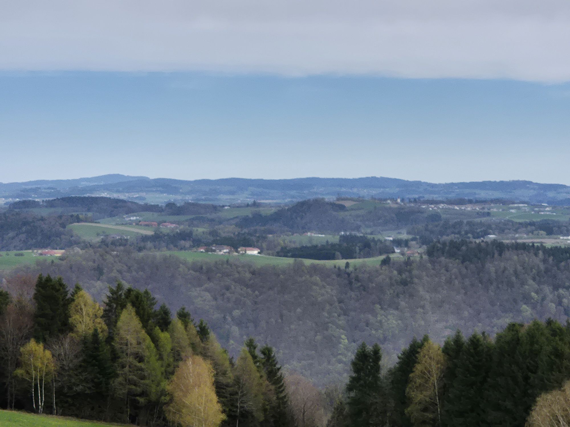
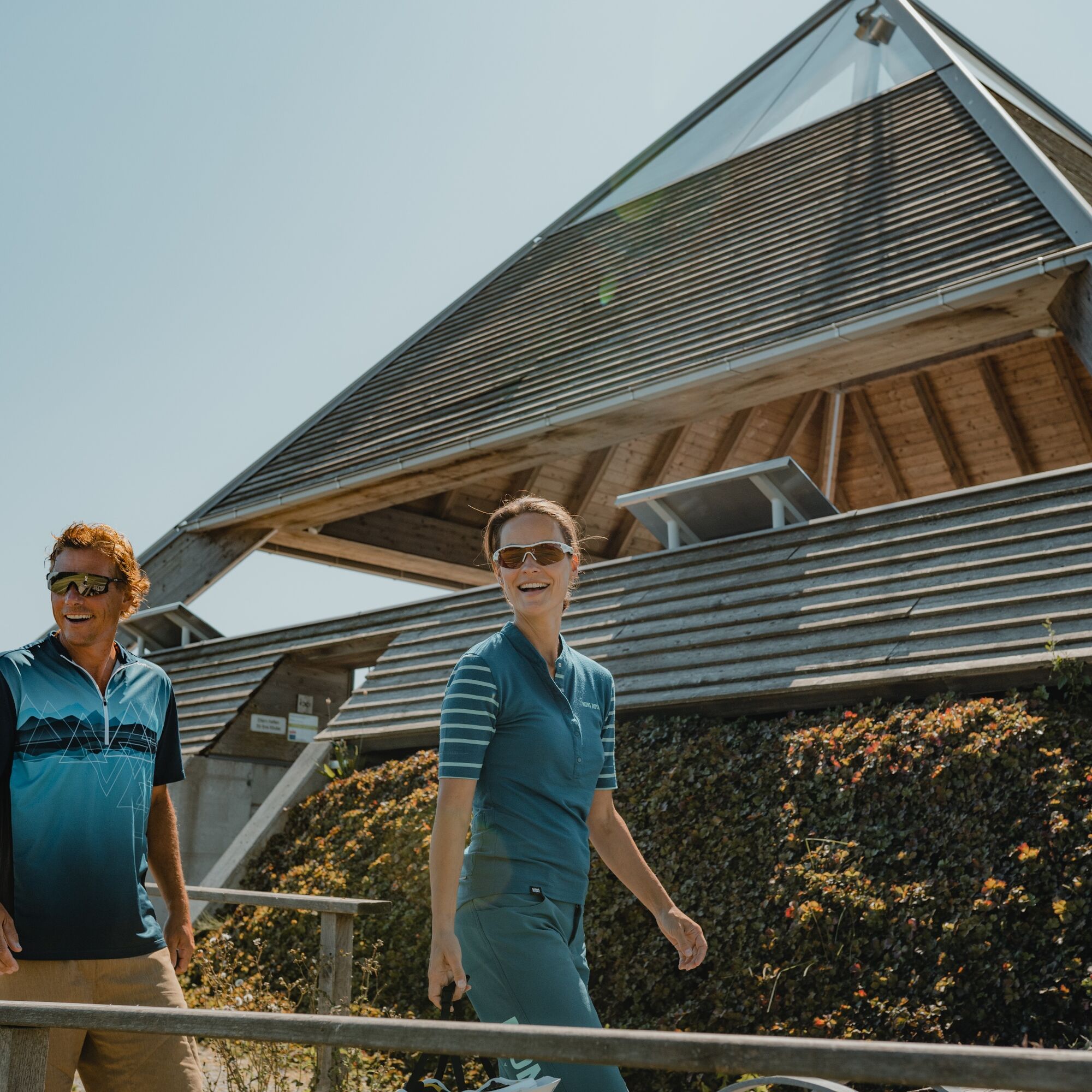
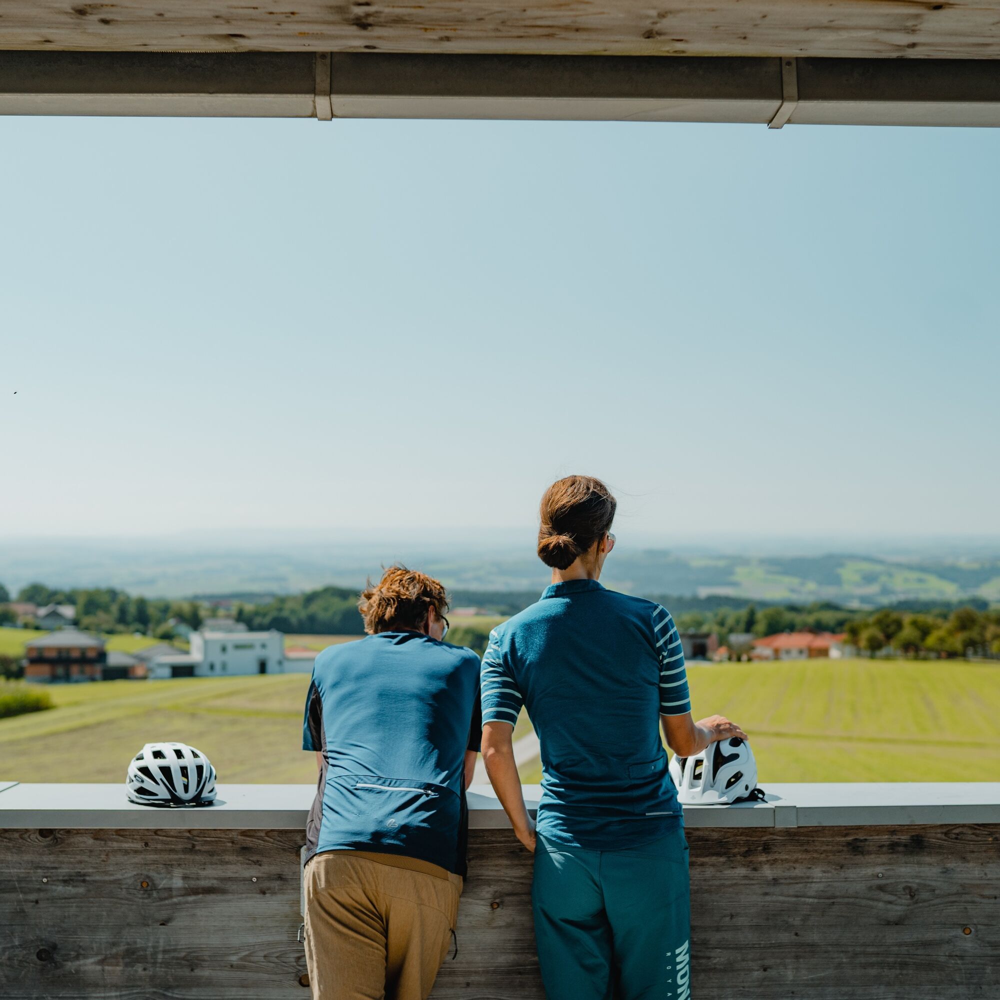
Now begins the sublime ride over the roof of Sauwald! On gentle agricultural roads, you cycle over a hilly panoramic high ridge. A magnificent start is the imposing Etzinger meditation pyramid (642 m). Congratulations, you are at the highest point of the route! Afterwards, wonderful Sauwald farmland and breathtaking wide views into the Mühlviertel, over the Alpine foothills to the Alps captivate … pure bliss! After a short gorge, you reach Waldkirchen am Wesen on the next high ridge. The Sauwald high plateau presents itself once more from its most beautiful side. A highlight: the short detour to the extraordinary Four-quarters View. The 360° panoramic view allows limitless vistas into all four quarters of Upper Austria! A short regeneration descent takes you into the Waldgraben of Sittling. Then follows a 4.5 km ascent over a mountain ridge. Idyllic Sauwald farmland enchants, with increasing height the view expands. In St. Aegidi, you stand at the highest point of the third high ridge. Congratulations! After the altitude flight, the hilly descent through hidden valley folds provides relaxation. From Voglgrub, the final climb begins, taking you through undulating farmland and picturesque (pig) woods to the WaldEntdeckerWelt. Cycling in the highlands – a real treat!
Áno
Áno
Signposting:
To make orientation easier, the Danube cycling rounds have been marked with their own cycling navigation system. This route follows the signage "R1.05 Sauwald Panorama Route".
How to arrive in the Upper Austria Danube region?
The fastest way to your destination – by train, bus, car, ship, or airplane.
3
Discovery journeys with a delightful stopover! This route passes directly by the following culinary partners:
Kirchenwirt in Kopfing Sauwald Vodka
Webové kamery z prehliadky


Obľúbené výlety v okolí
-
4,0
Kerzensteinwanderung im "Naturschutzgebiet Pesenbachtal"
strednáTuristika 4,16 km -
4,5
Haibach: CICONIA circular route
strednáTuristika 11,2 km -
4,7
Hofkirchen: Waterfall round
strednáTuristika 8,43 km -
3,8
Waldkirchen: 4/4 View Round | Large Danube Resonance Path Round
strednáTuristika 12,9 km -
4,8
Dunajská cyklocesta, 2. etapa, južný breh: Schlögen - Linz
svetloDiaľková cyklotrasa 53 km -
3,8
Weberbartlweg
svetloTuristika 8,48 km -
3,1
Alm-Mühlen-Runde
svetloTuristika 5,12 km -
4,8
Wilson Holz Pesenbach Round Trail
svetloTuristika 7,53 km -
4,5
Rannatalweg
strednáTuristika 10,7 km -
4,8
R1.04 Donauschlingen round
strednáCyklistika 45,6 km
Turistika a stopovanie


Nenechajte si ujsť ponuky a inšpiráciu na ďalšiu dovolenku
Vaša e-mailová adresa bol pridaný do poštového zoznamu.





