


Hessian-Bavarian border route in Churfranken
Úroveň náročnosti: 4
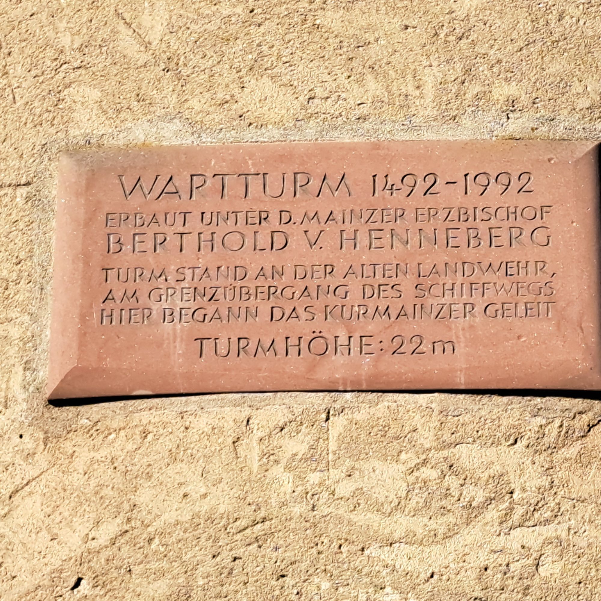
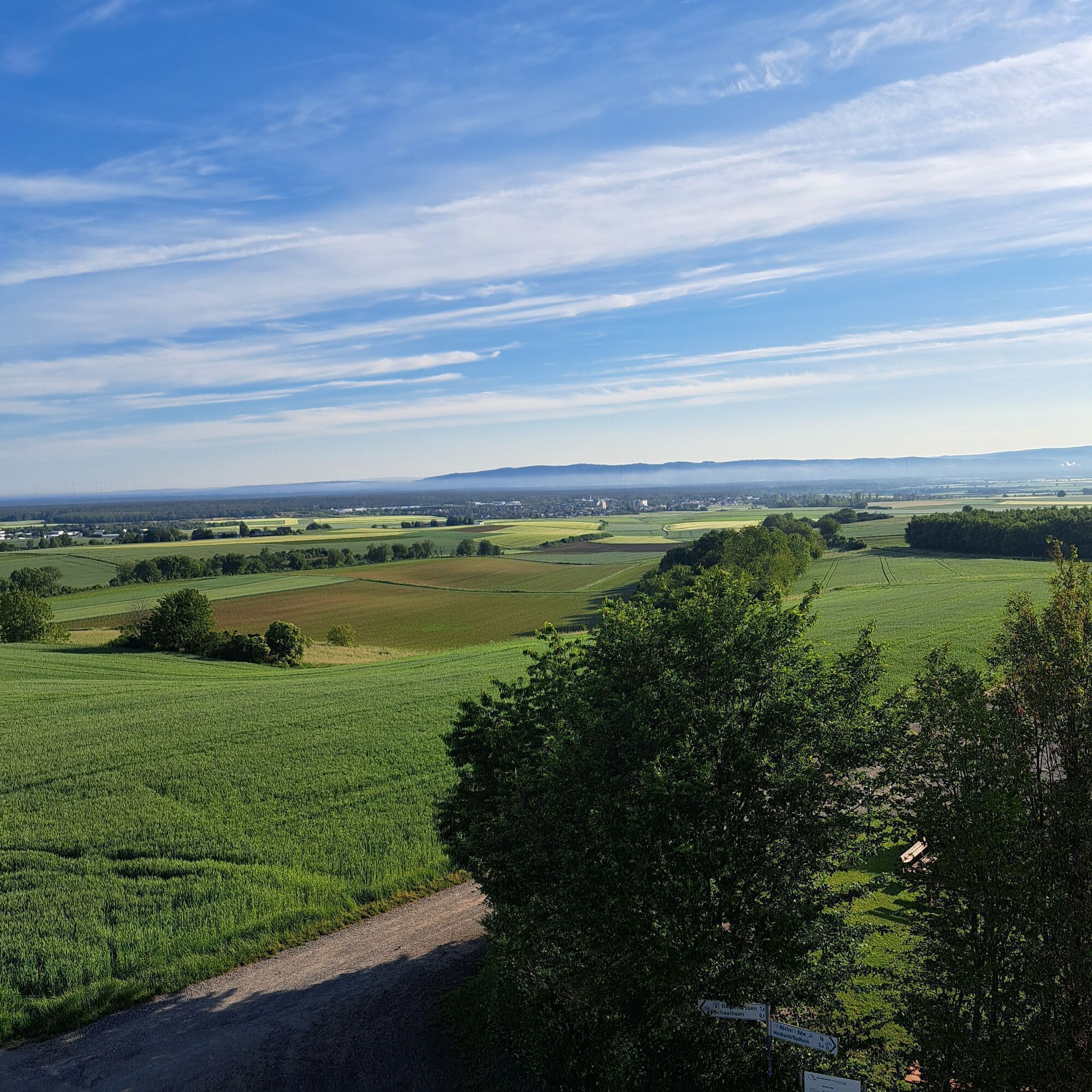
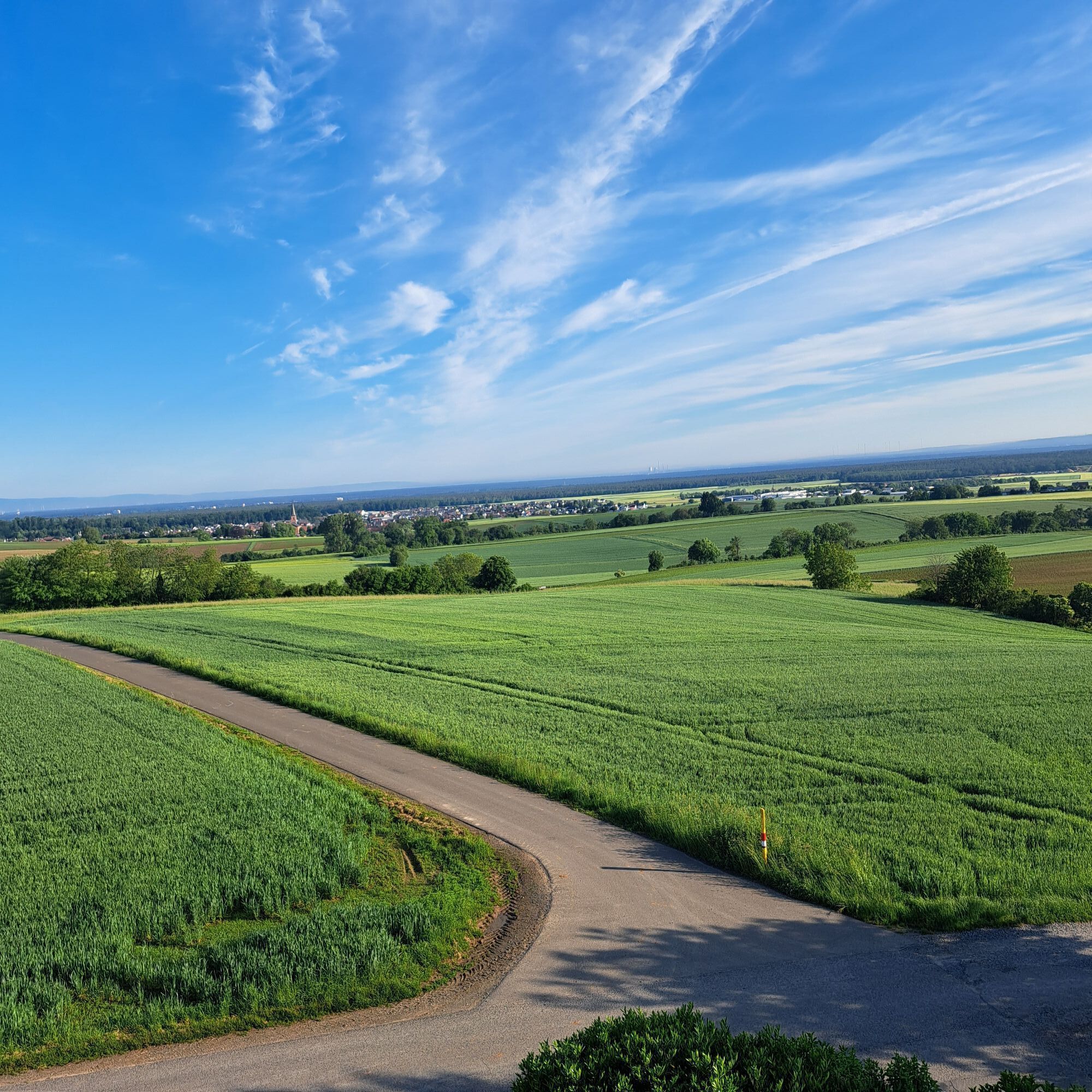
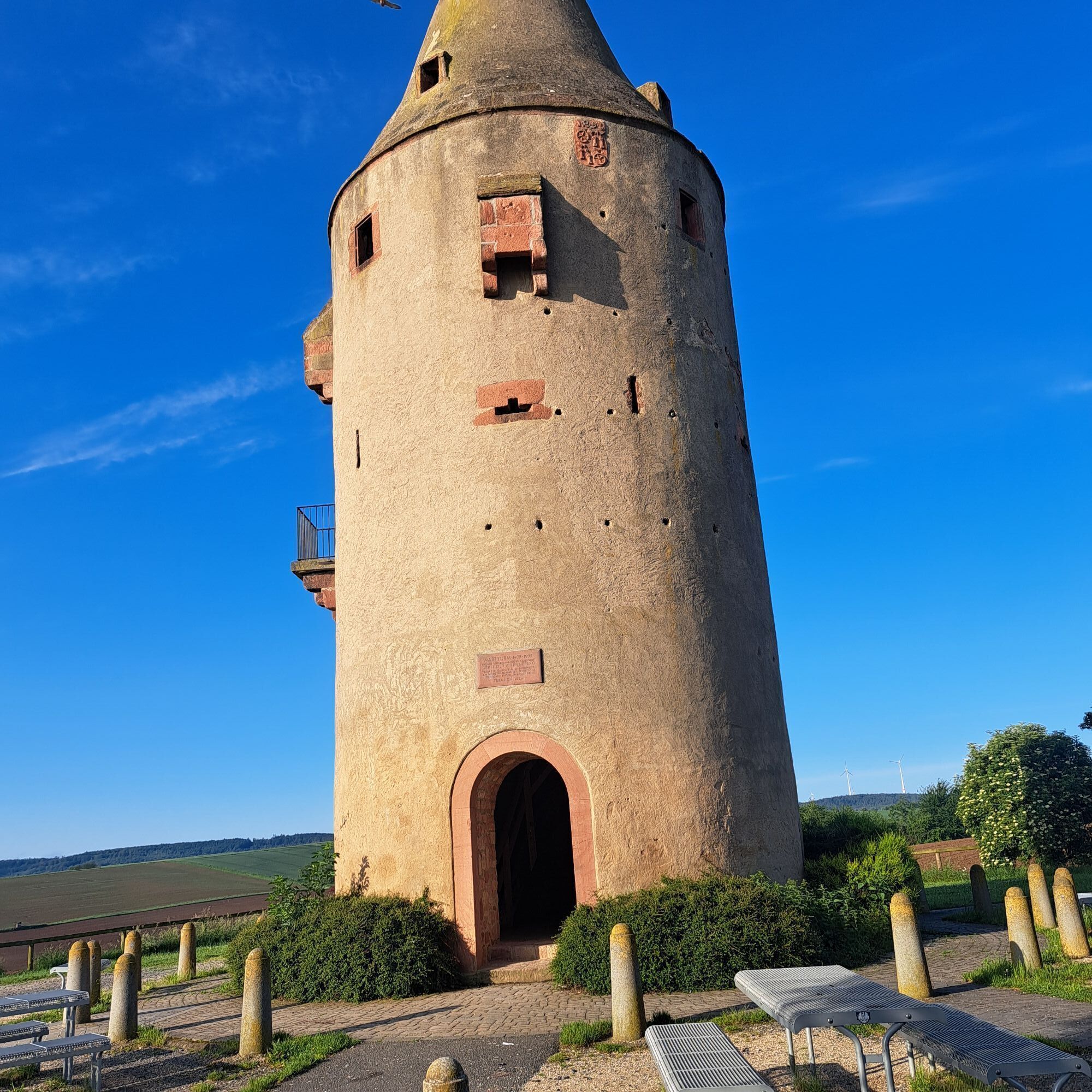

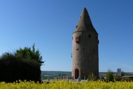
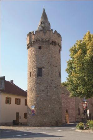
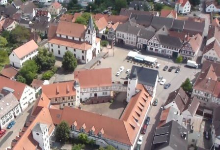
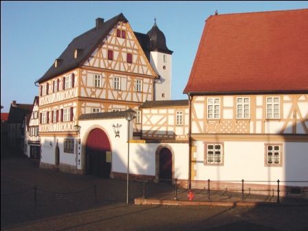
The start is in Großostheim at the northern exit of the town centre, at the so-called "Kuhpforte" Großostheim. We take the cycle path to the outdoor pool and the Welzbachhalle, go under the bypass road and reach the centre of Pflaumheim via Gartenstraße. At Breitfeldstraße, we turn right out of town towards Schaafheim. Past Wartburghof, the path then steadily ascends. On Schiffweg, we reach the Wartturm (216 m), the landmark of the Bachgau region. Already located in Hesse, we are rewarded there with a magnificent panoramic view in good weather, reaching as far as the metropolis of Frankfurt. At the crossroads, to the right past fields and meadows, you reach the beautiful, historic centre of Schaafheim.
We follow the signs R1 towards Seligenstadt and now ride for a longer stretch mostly on a gravel path through the forest. After crossing B26 and the Darmstadt-Aschaffenburg railway line, we reach the Gersprenz valley and the Limes cycle path. After turning right towards Stockstadt, we are back in Bavaria. At the Stockstadt marksmen's house, a bridge takes us over the B469 expressway. We pass the outdoor pool and cycle through Schulstraße to the centre of Stockstadt am Main. Turning right, it goes for a few hundred meters on the main road and over the railway crossing. Immediately afterwards, we turn half-right into Großostheimer Straße, which, after crossing B26 again, leads us for a stretch through the forest. After crossing B469 again, we see the Ringheim airfield on the right. On Stockstädter Straße, we cycle through the north industrial area back to our starting point, where some attractive catering establishments invite you to a pleasant end of the route.
A3 coming from Frankfurt to the Stockstadt exit, continue on B 469 towards Miltenberg to Großostheim centre
By train from Miltenberg to the stop Obernburg/Elsenfeld, then to the bus stop Bahnhof-Westseite (2 min walking), from there continue with bus line 55 to Großostheim town centre.
Parking facilities slightly west of the northern town centre, parking lot "An der Dreschhalle".
4
Obľúbené výlety v okolí
-
4,0
Rückersbacher Schlucht
strednáTuristika 15,3 km -
Obernburg - Eisenbach round
strednáTuristika 10,7 km -
5,0
Kulturweg Niedernberg: Blechkatzen im Honischland
Turistika 10,2 km -
European Cultural Trail Großostheim: "Fruits of the Loess"
strednáTuristika 6,25 km -
Franconian Red Wine Hiking Trail - 2nd stage from Großostheim to Elsenfeld
ťažkéTuristika 17,2 km -
Mountain bike circular route Obernburg - Eisenbach
strednáMountainbike 32,3 km -
Tour zw. Heubach u Sandbach
svetloTuristika 5,49 km -
Sulzbach Forest Adventure Trail
svetloTematická trasa 3,25 km -
Franconian Red Wine Hiking Trail - 1st stage from Großwallstadt to Großostheim
strednáTuristika 16,2 km -
Geopark circular route: Wartturm path (P1)
strednáTuristika 9,54 km

Turistika a stopovanie


Nenechajte si ujsť ponuky a inšpiráciu na ďalšiu dovolenku
Vaša e-mailová adresa bol pridaný do poštového zoznamu.