







Teisenberg-Runde
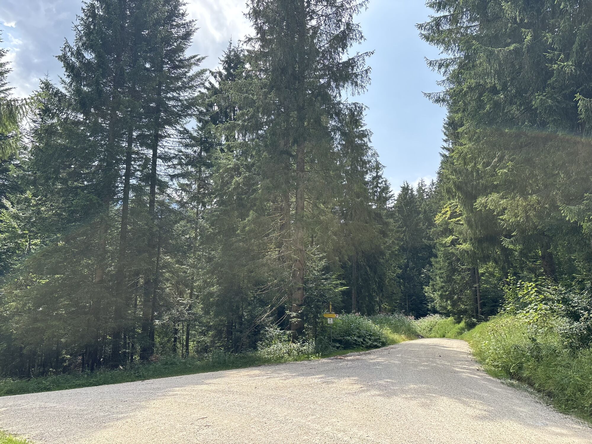
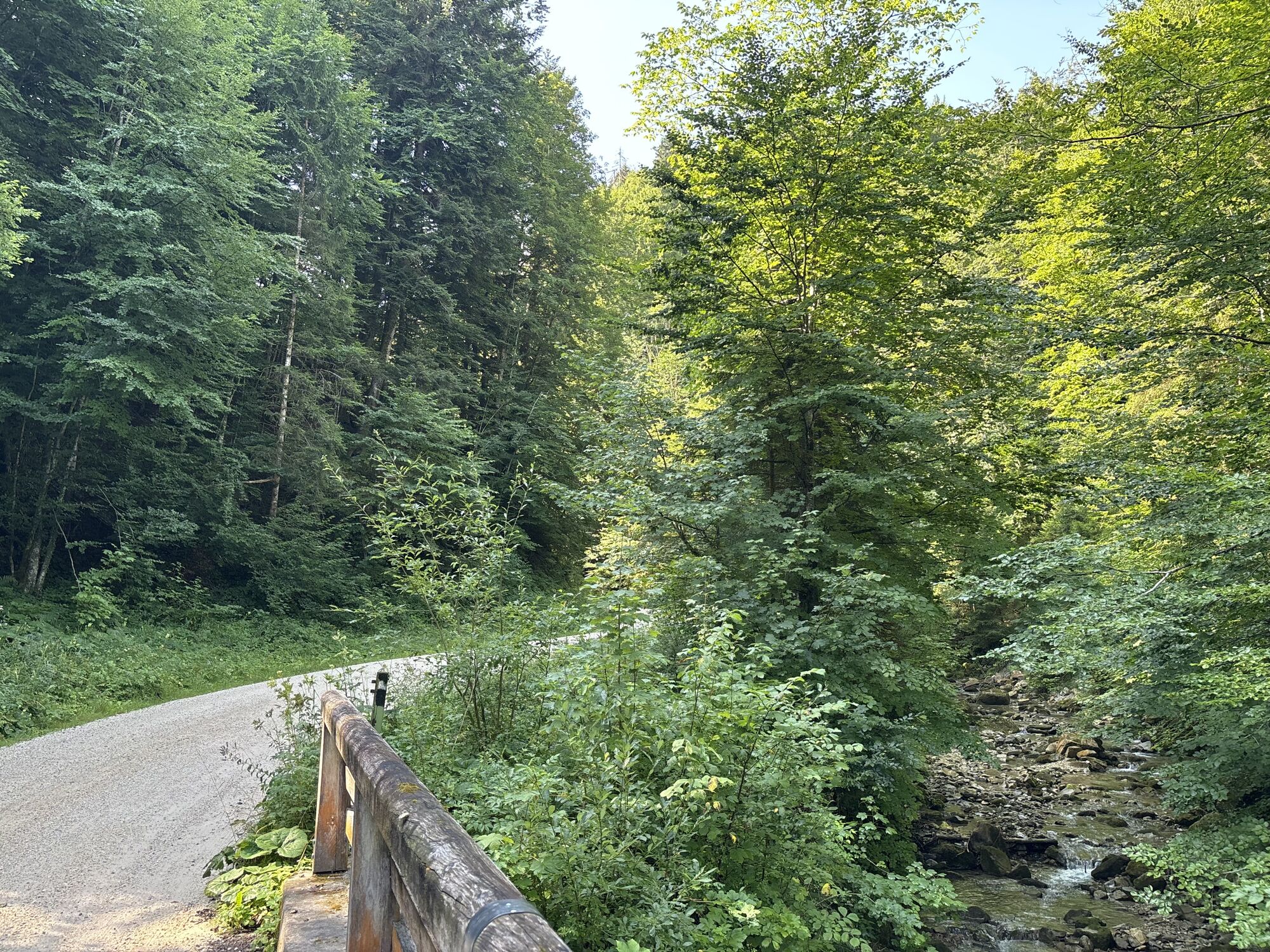
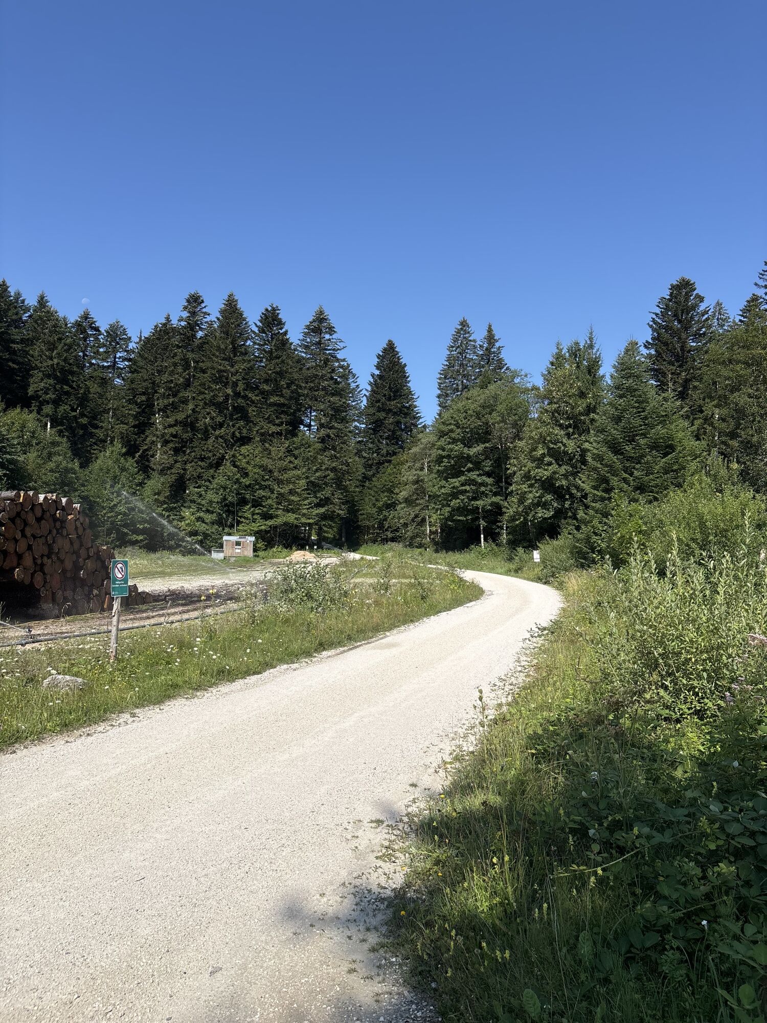
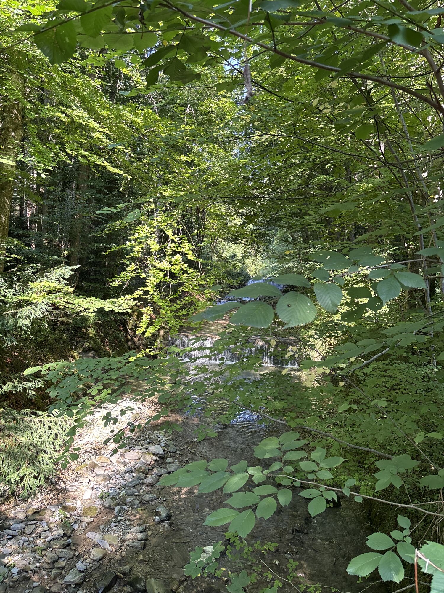
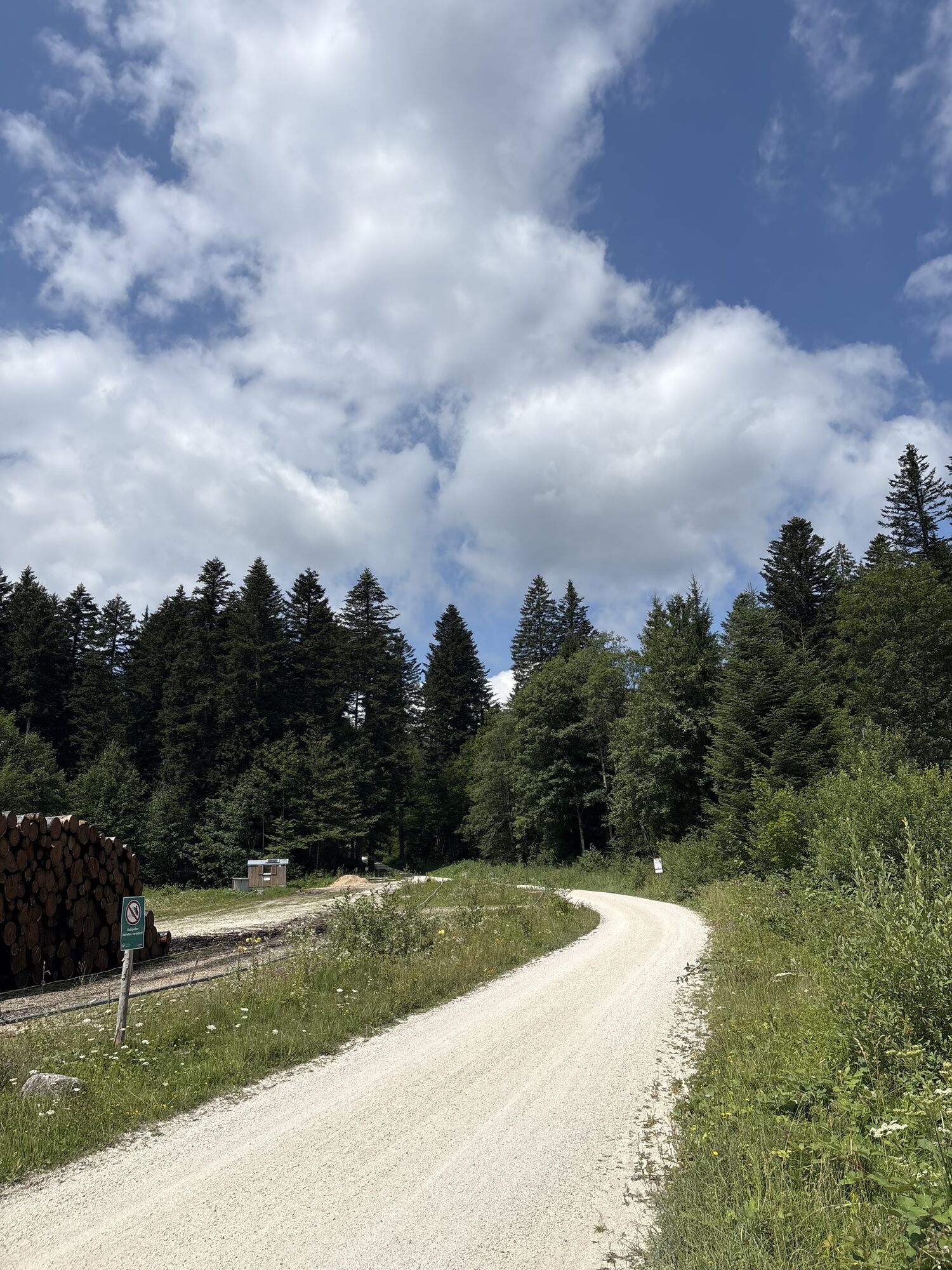
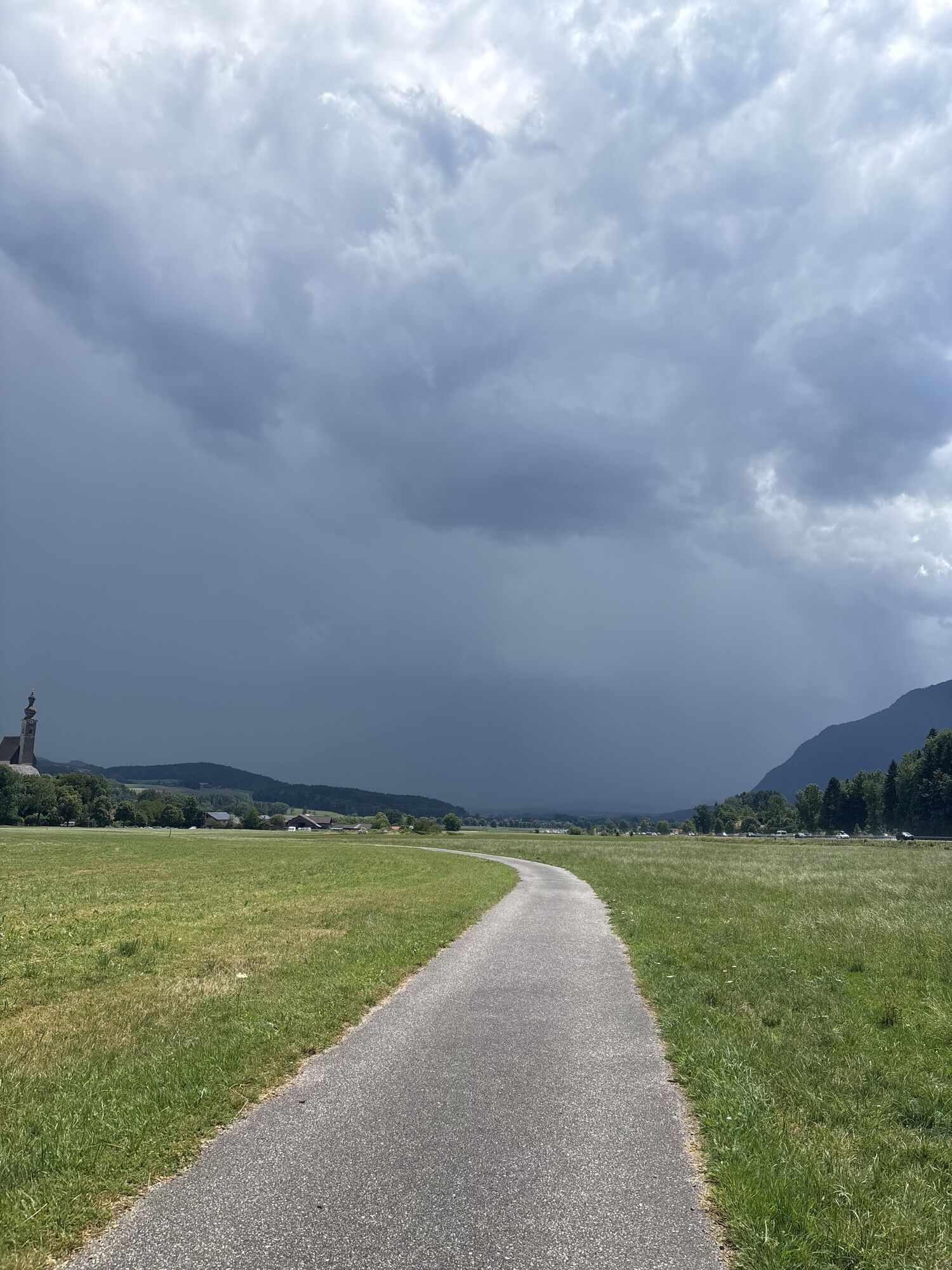
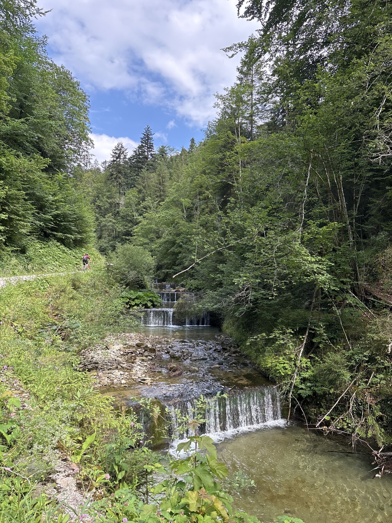
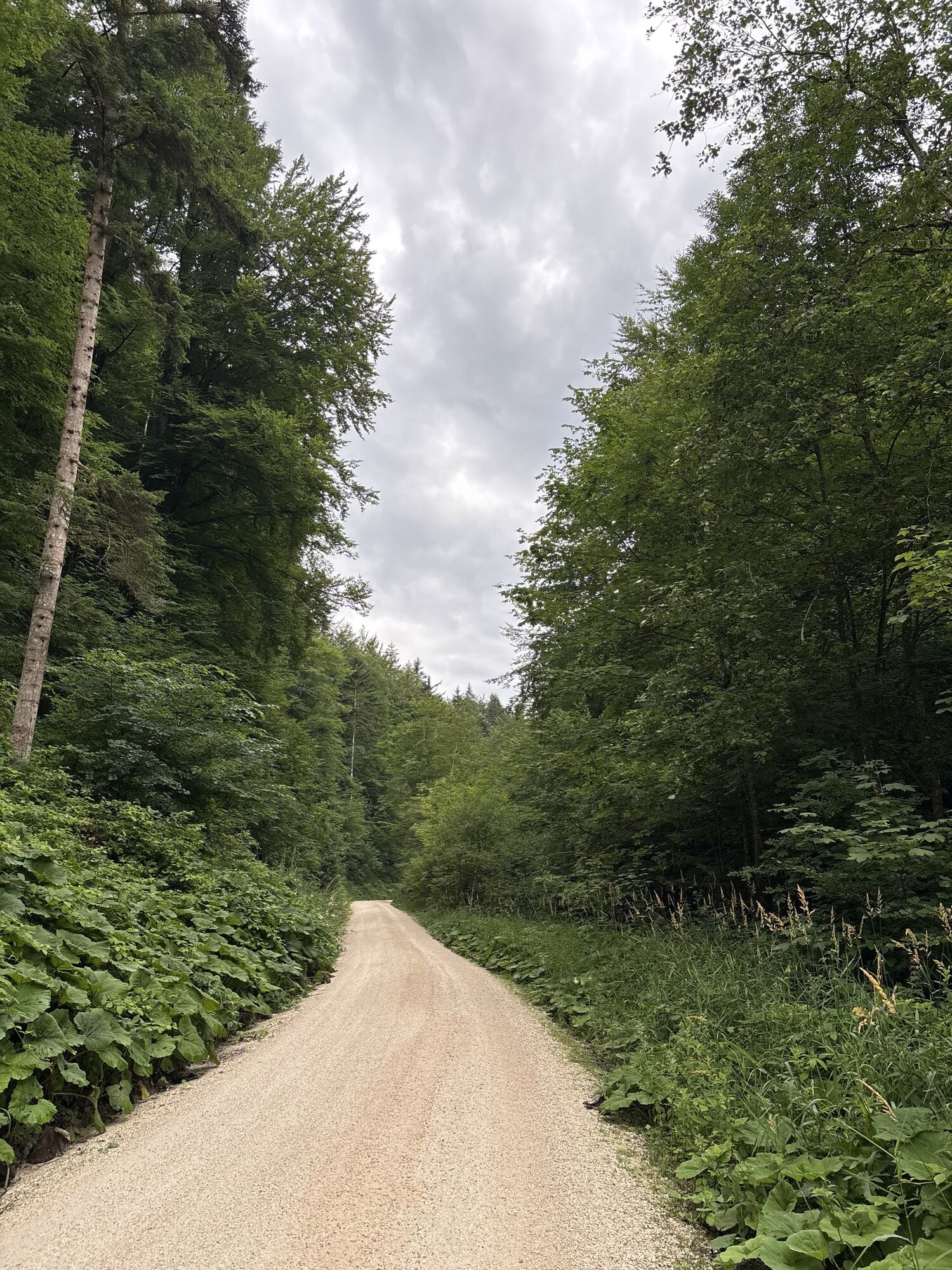
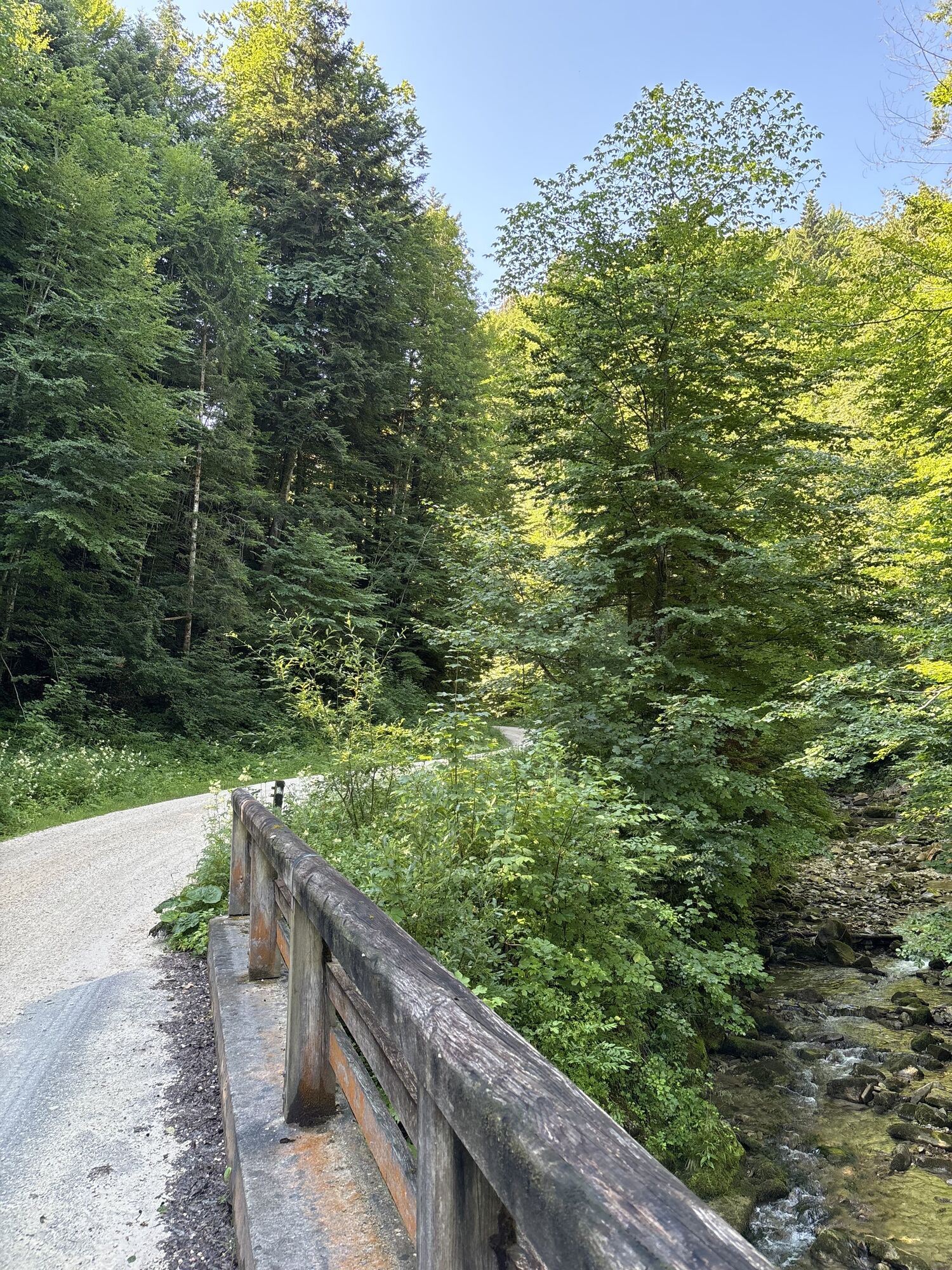
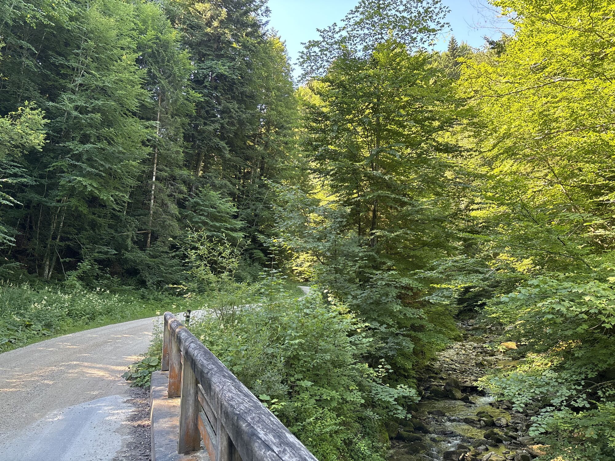
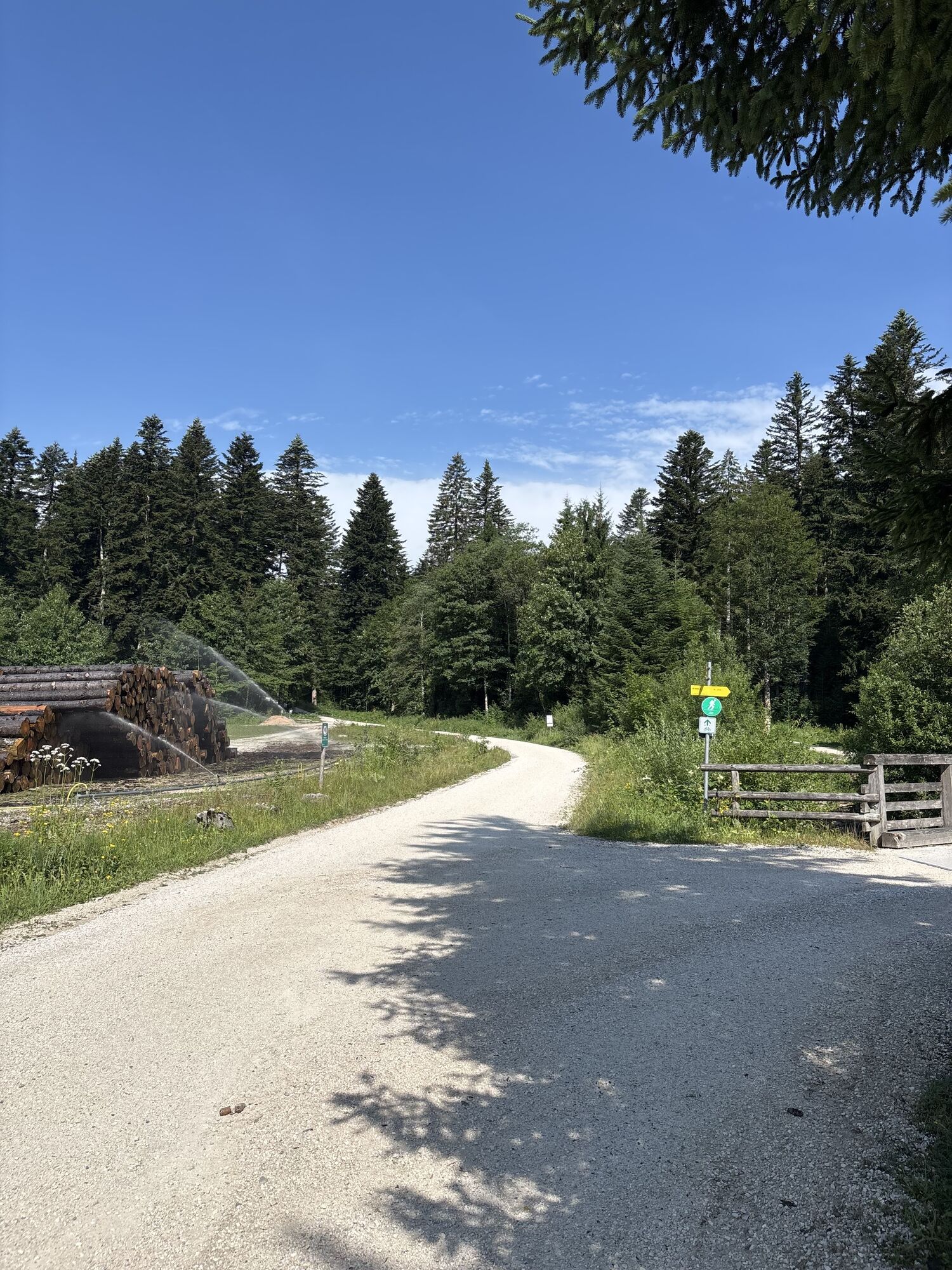
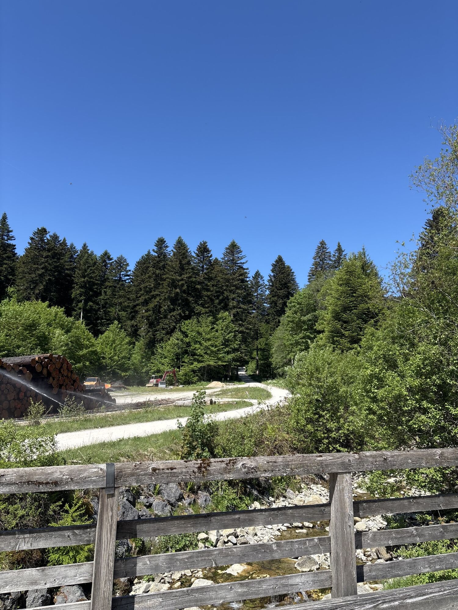
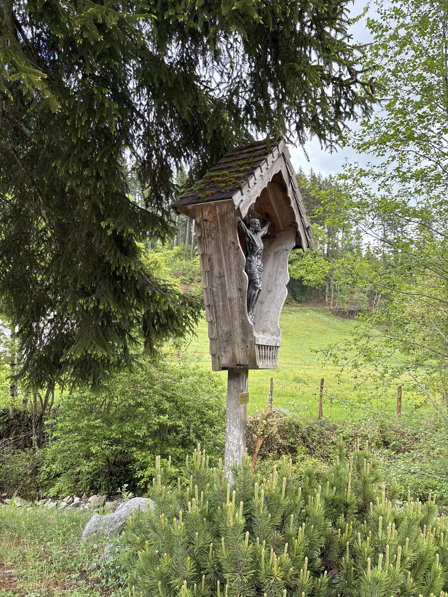
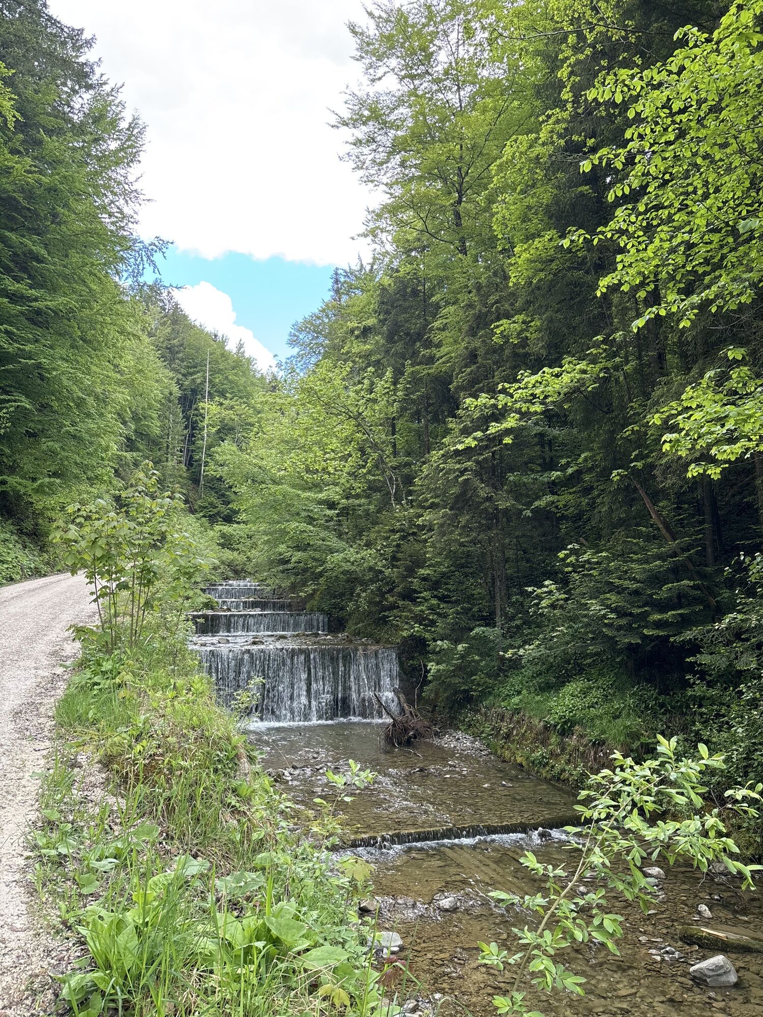
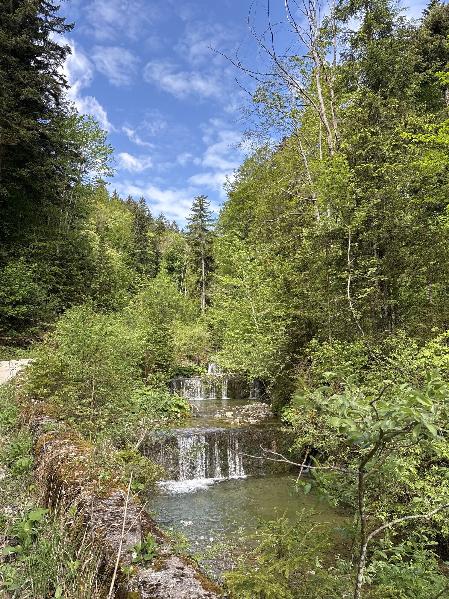
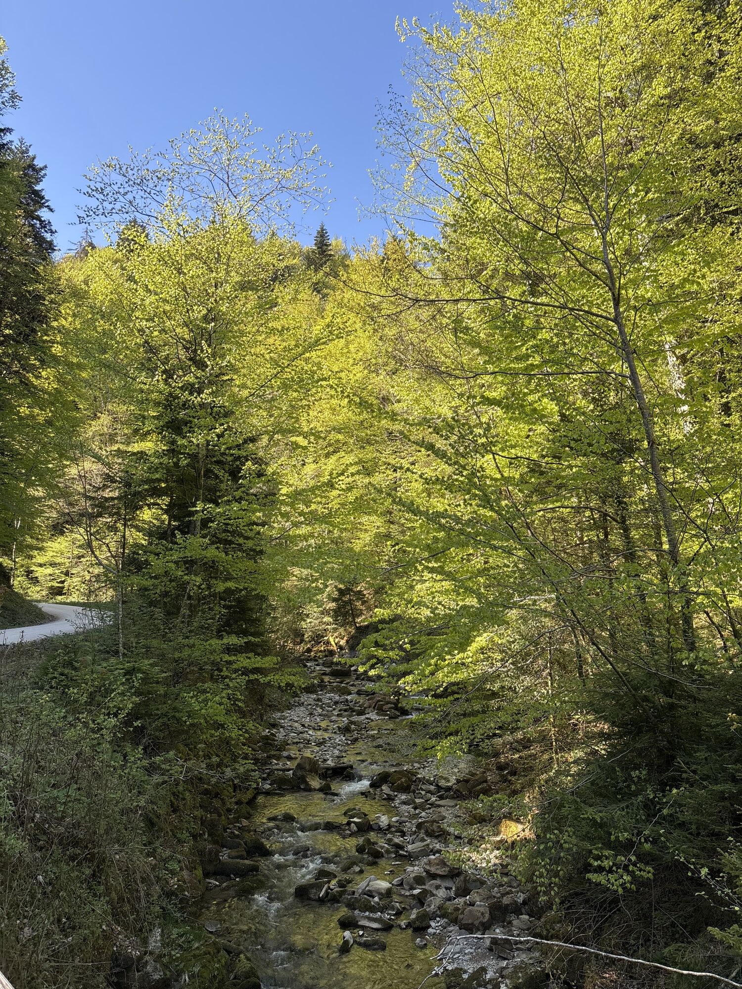
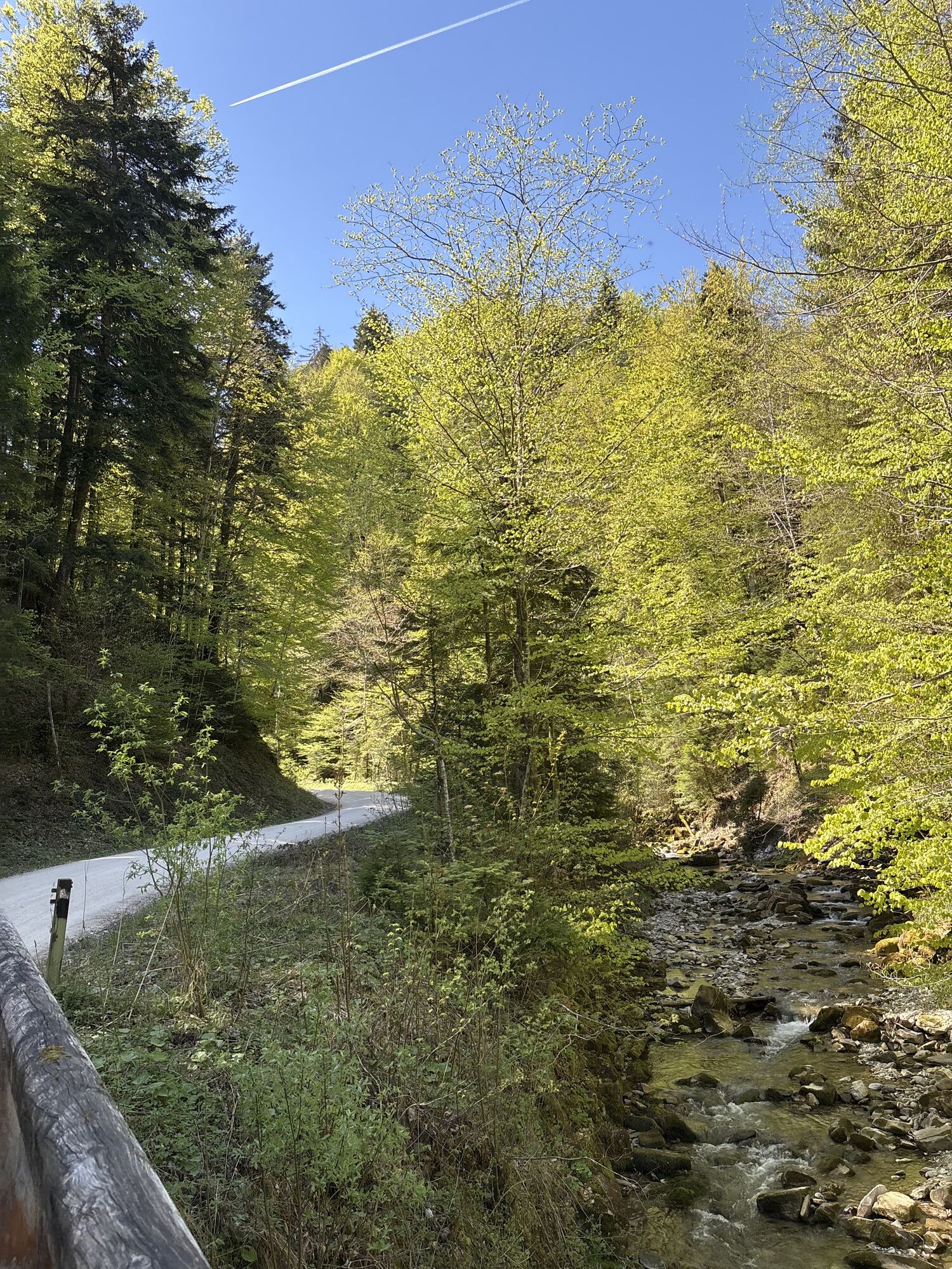
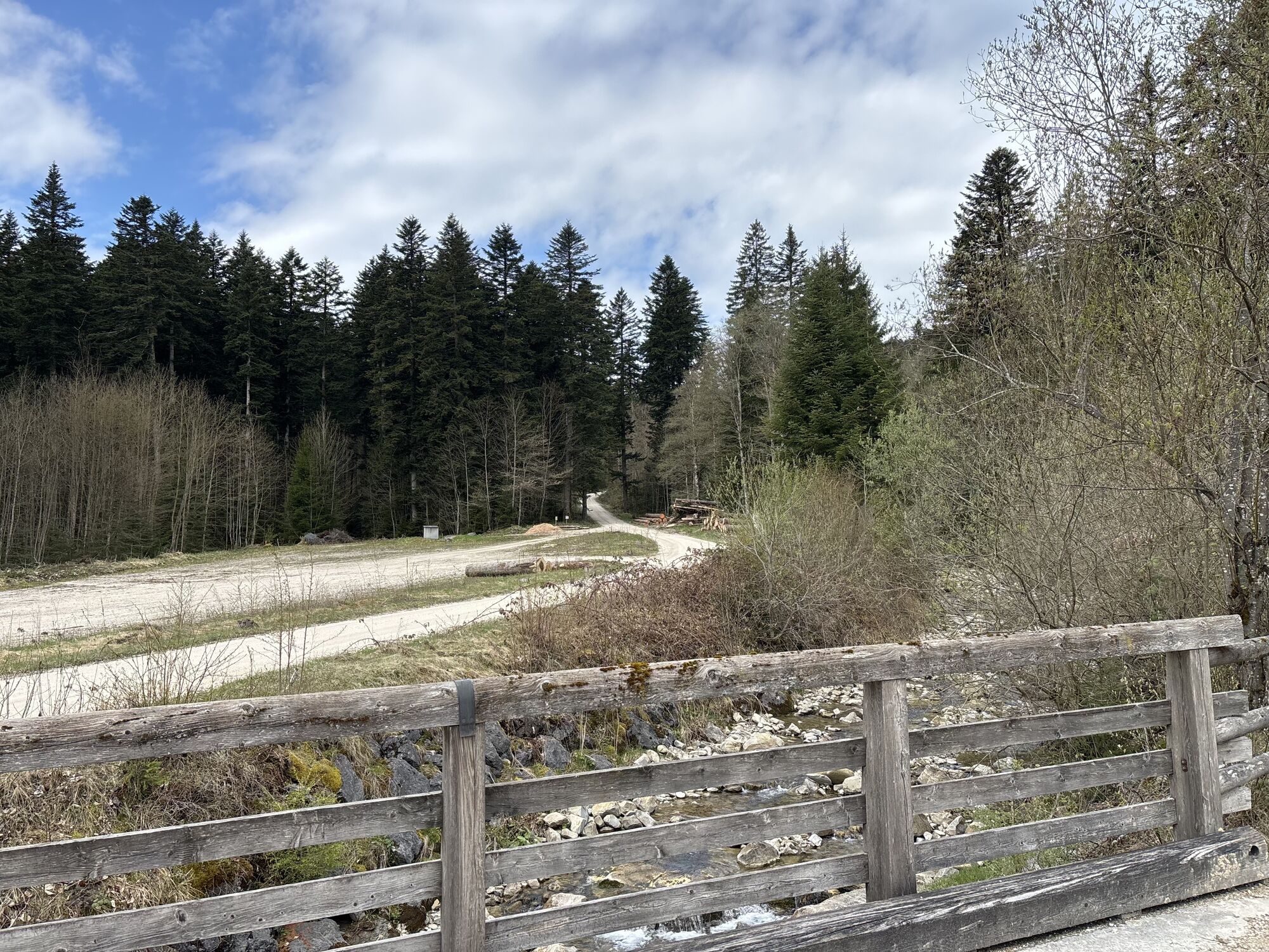
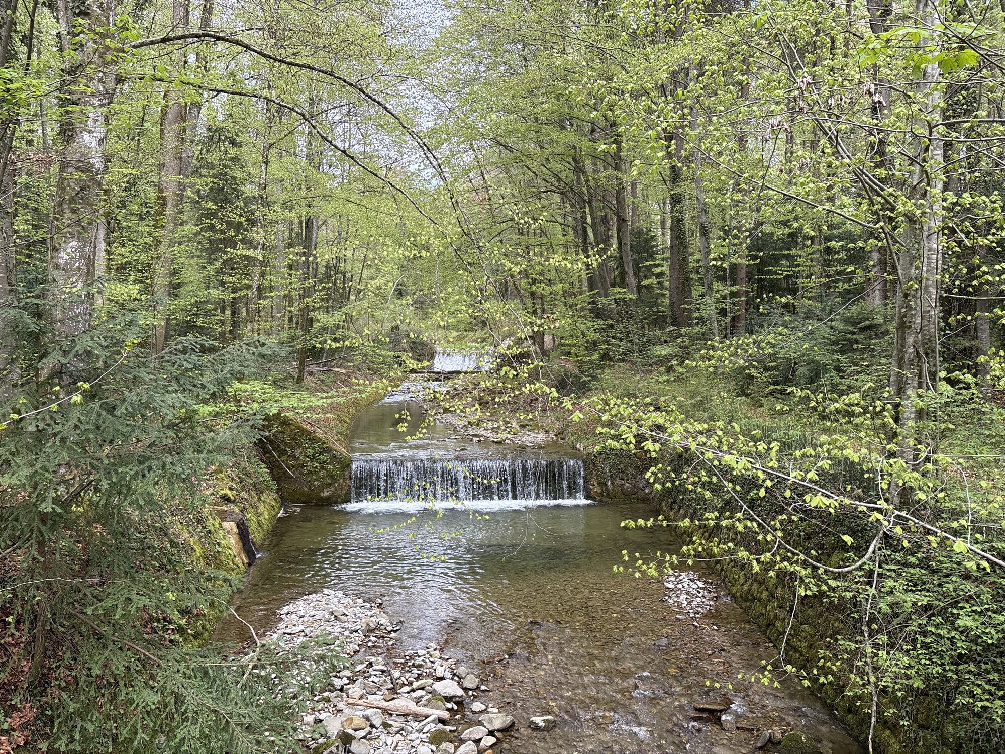
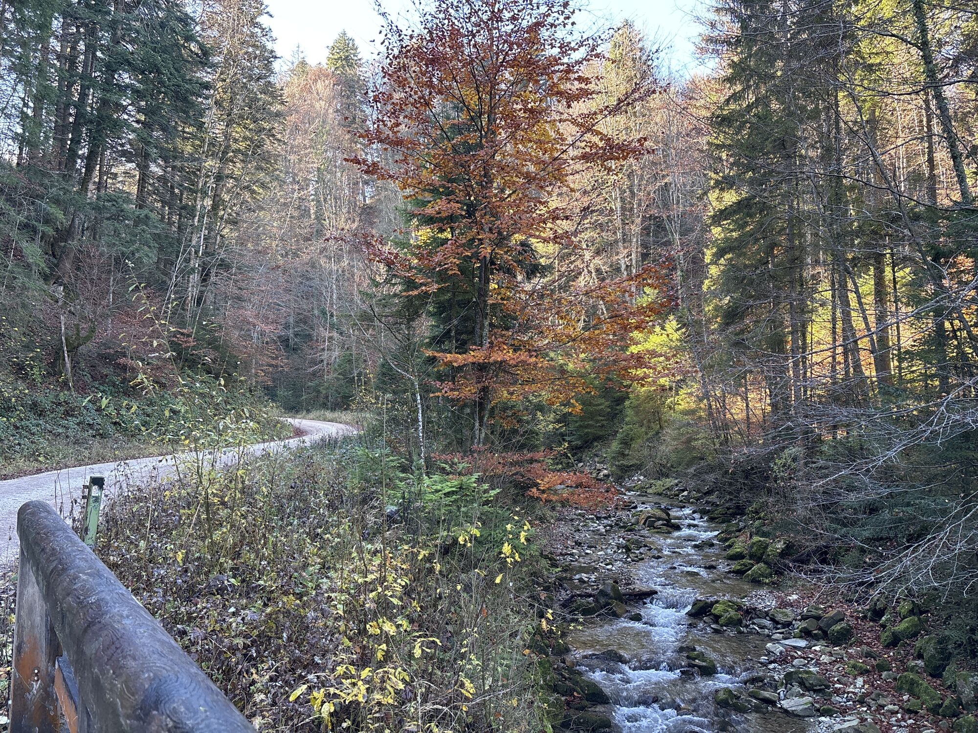
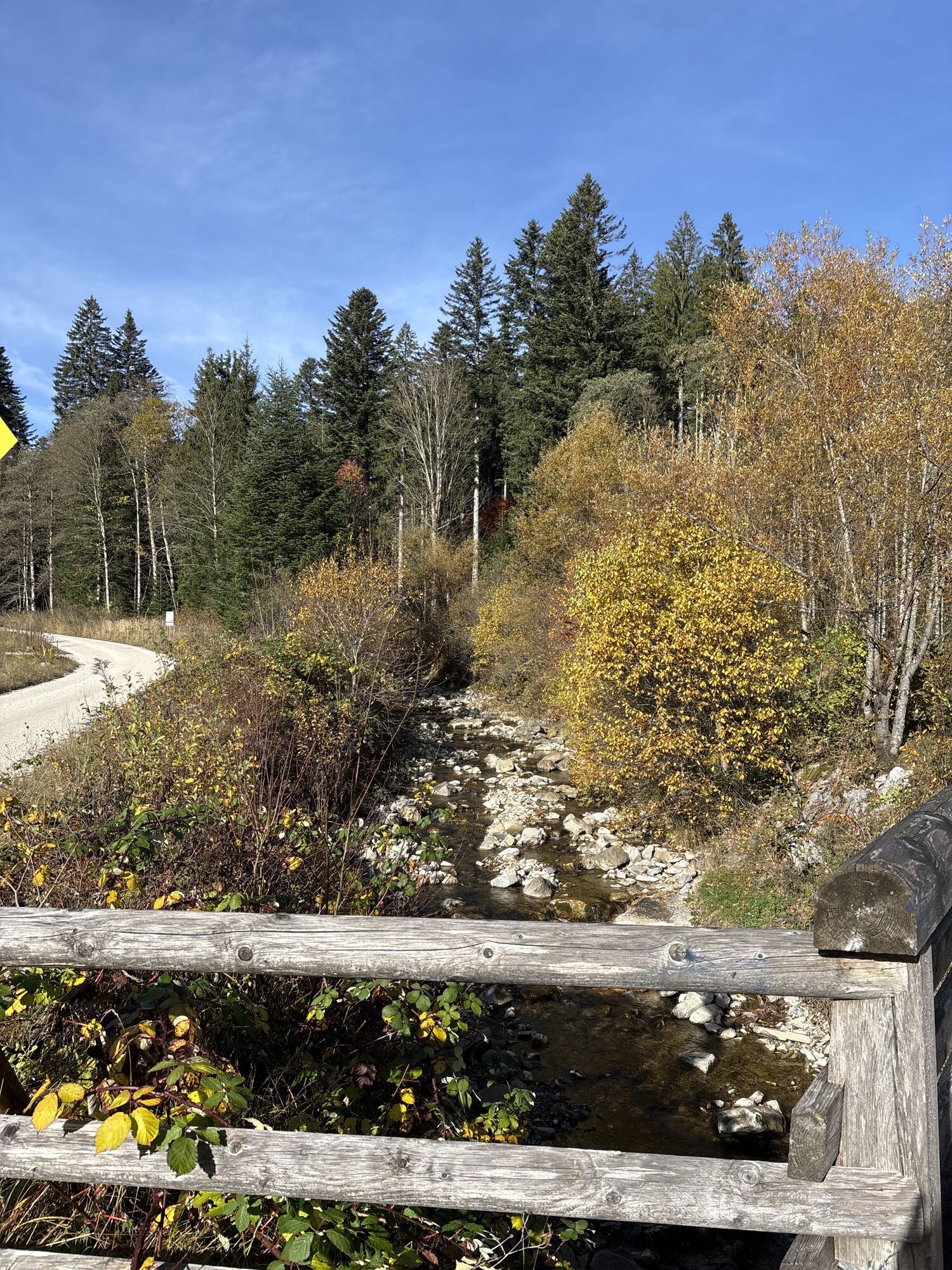
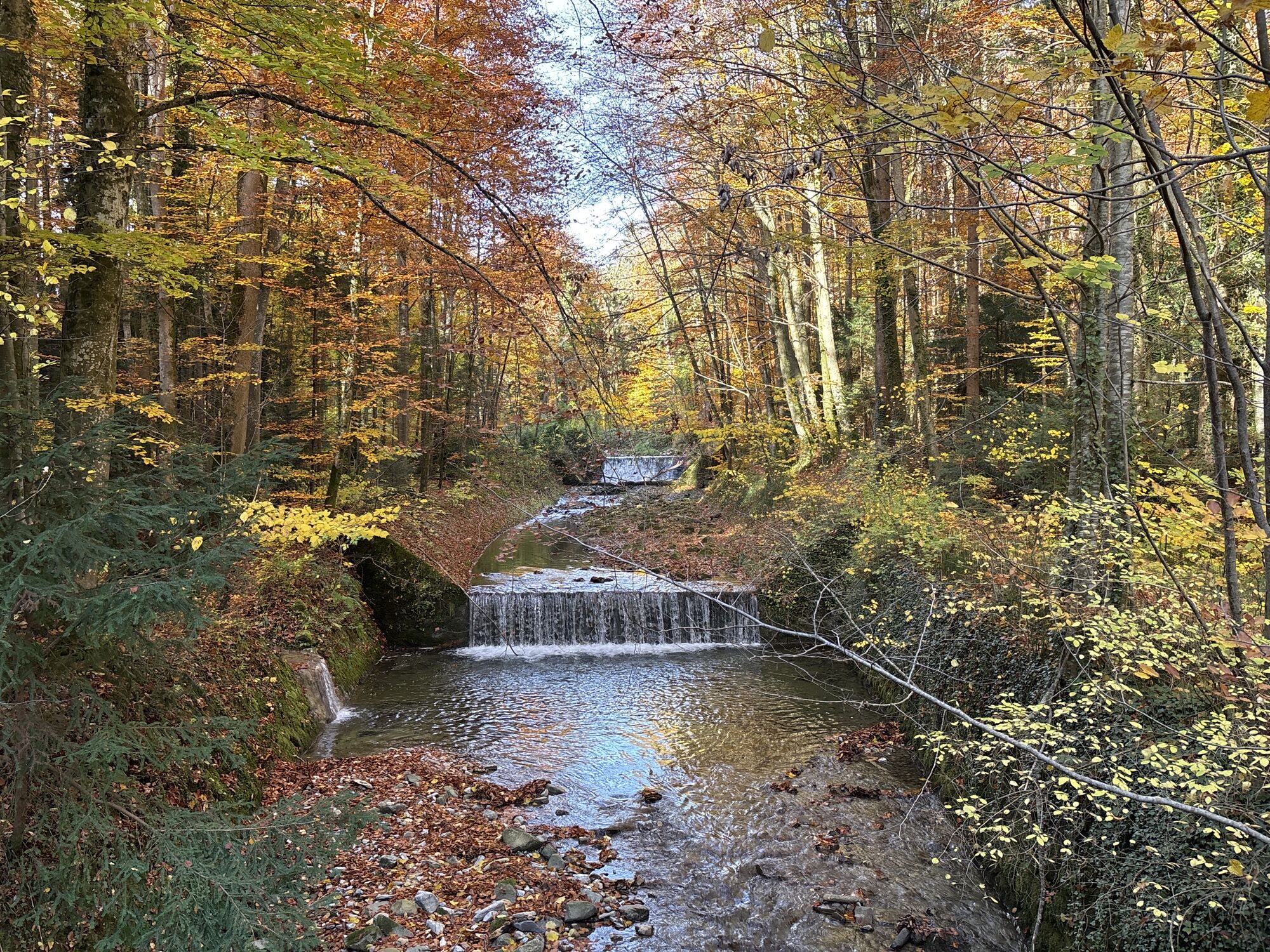
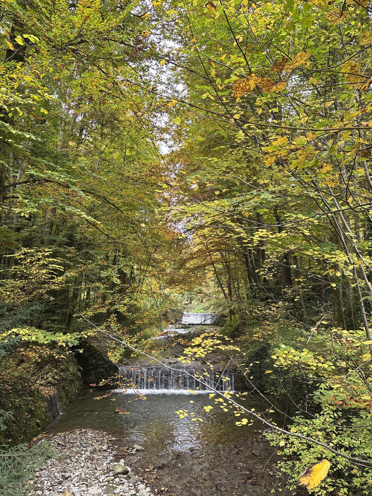
The varied, grandiose mountain tour offers a river and a mountain route as well as many rewarding meters in altitude / start in Inzell Inzell - Hammer - Siegsdorf - Neukirchen - Freidling - Teisendorf...
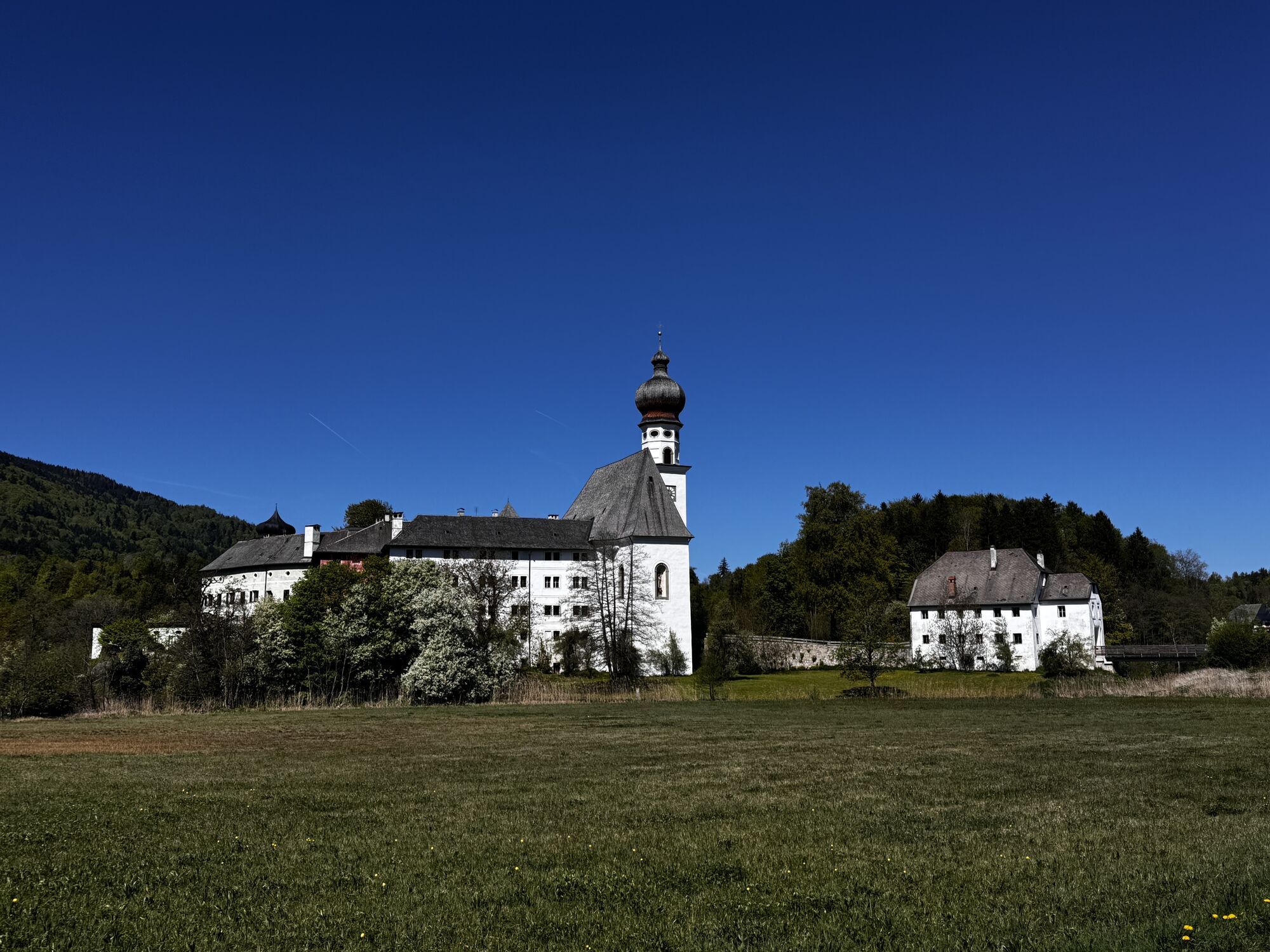
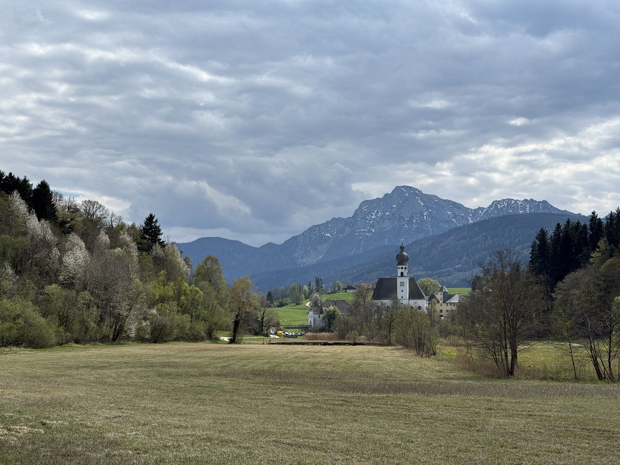
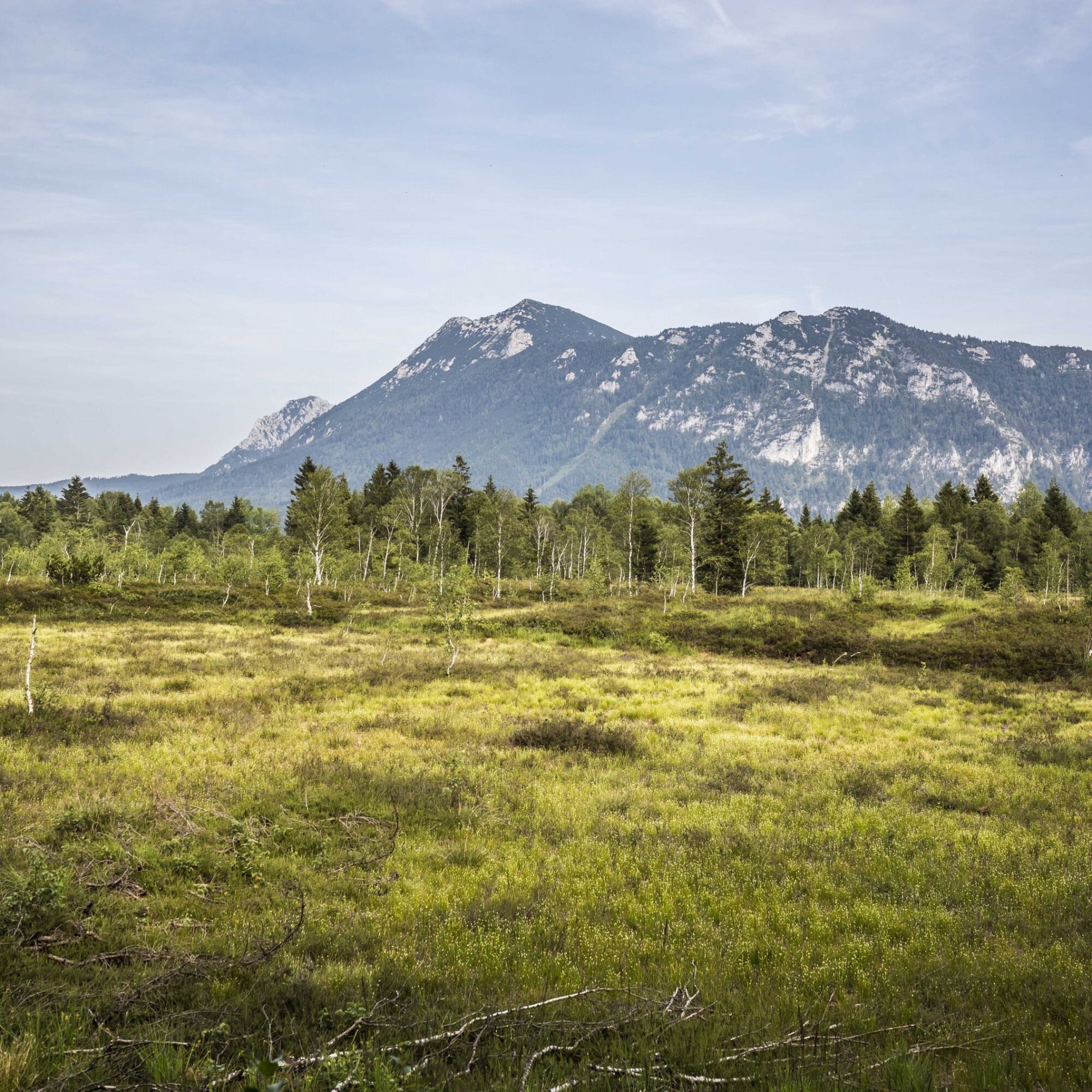
The varied, grandiose mountain tour offers a river and a mountain route as well as many rewarding meters in altitude / start in Inzell Inzell - Hammer - Siegsdorf - Neukirchen - Freidling - Teisendorf - Anger - Adlgaß - Inzell The Teisenberg tour leads once around the Teisenberg of the same name. At 1,333 meters it is the northernmost mountain in the German part of the Alps. Even if it's mostly on tarred roads, you should have some strength in your calves. Especially on the last stretch from Anger to Adlgaß you have to climb a few meters. The round starts in the center of the climatic health resort of Inzell. There are parking spaces at the swimming pool or the Max Aicher Arena. The modern ice rink was opened in 2011. 7,000 visitors have space here. Its distinctive architecture with the transparent glass facade and the roof that hovers over the ice rink like a cloud is visible from afar. The cycle route leads past the Frauenkirche in Niederachen and the Inzell moorland and adventure trail. Here is a stop. The 5.3 kilometer trail takes young and old nature lovers on a journey into the past. It goes back 12,000 years to a time when the mighty masses of glaciers of the last Ice Age were just melting and giant mammoths roamed the valleys. You can not only learn a lot about the swamp landscape from the information boards, but also get active yourself at many stations. Via Hammer and Unterheutau it goes through the valley of the Rote Traun in the direction of Siegsdorf. You follow the brine pipeline, which was built in the years 1617-1619 and is virtually the first pipeline in the world. The brine extracted in Reichenhall was transported to Traunstein in 8,000 wooden pipes, the so-called drawbars, and with the help of pumping stations, and sooted in the saltworks that operated there until 1912. Shortly before Siegsdorf, turn off towards Neukirchen. You are now on the north side of the Teisenberg and ride on comfortable bike paths. If you are not afraid of a short climb, take a look at the Church of St. Johann. The ancient church with a Romanesque nave and Gothic choir is enthroned on the mountain slope. At the Mesnerwirt, right next to it, you can quickly regain your strength - while enjoying a wonderful all-round panorama. Neukirchen am Teisenberg is the next stop and is in the heart of the Rupertiwinkel. The town with its parish church of St. Ulrich is part of the municipality of Teisendorf, which can be reached after a further ten kilometers. The landmark of Teisendorf is the parish church of St. Andreas, built in 1437, with its tower, which can be seen from afar. The market town of Teisendorf was founded around the year 700 and was first mentioned in 790 as Tusindorf in a deed of donation from the then Bavarian dukes to the Archbishopric of Salzburg. The mining museum in Achthal bears witness to centuries-old iron mining on the Teisenberg. During a visit you can learn all sorts of things about Salzburg and Bavarian mining and the eventful history of this area. The working methods and the living environment of the miners are also conveyed using the show tunnel – including all the hardships and dangers. The blast furnace model shows the path from ore to iron production to the finished cast product. Through the Ramsau and the "bird protection area Oberes Surtal und Urstromtal Höglwörth" it goes on a sandy road to Höglwörth with the former monastery and the lake of the same name. The former Augustinian monastery of Höglwörth with its rococo church on a peninsula in the lake is one of the most beautiful ensembles in eastern Upper Bavaria. The monastery dedicated to St. Peter and Paul was founded in 1125 by Archbishop Konrad I of Salzburg. Höglwörth was the only abbey in Bavaria that was spared from secularisation, as it did not become part of Bavaria until 1810. The monastery was dissolved on July 8, 1817. The sale of the monastery property lasted until 1824. The monastery church became a branch church of the parish of Anger and the forest became state property (for the benefit of the salt works in Bad Reichenhall). The convent building with the brewery was bought by the Wieninger family of brewers. The Klosterwirt with its beer garden is a popular destination. Tired cyclists can refresh themselves here. Or hike around the lake, it is about 13.5 hectares in size and 8 to 10 meters deep. It was created after the Saalach Glacier melted around 10,000 years ago and offers a habitat for numerous animal species such as pike, catfish, zander, eel, carp, perch, tench, whitefish, ducks, coots and mute swans. Höglwörth is part of Anger, the next station on the Teisenberg circuit. The...


incell
Webové kamery z prehliadky
Získajte prehľad
Vždy naživo na mieste s viac ako 9 500 webovými kamerami. bergfex Ako používateľ Pro si teraz môžete pozrieť príslušné webové kamery pre mnohé zájazdy v aplikácii zájazdy z. Môžete si tak priamo prezerať aktuálne podmienky.
Obľúbené výlety v okolí
-
4,4
Staufen-Bergtour
strednáTuristika 14,1 km -
4,9
Frillensee round from Adlgaß
Turistika 5,82 km -
3,7
Moorlehrpfad - Schönramer Filz
Turistika 3,38 km -
4,7
Pidinger Klettersteig mit Umweg im Abstieg
ťažkéVia ferrata 15,0 km -
4,7
Jochberg - Zwiesel
svetloTuristika 4,12 km -
4,4
Hochstaufen
ťažkéTuristika 7,59 km -
3,3
Zwiesel-Runde
Turistika 11,0 km -
5,0
Rundweg um den Abtsee
Turistika 5,07 km -
4,0
Seeuferweg
svetloTuristika 8,05 km -
3,1
Stoißer Alm am Teisenberg (Stoißeralm, Stoisseralm)
ťažkéMountainbike 19,4 km
Turistika a stopovanie


Nenechajte si ujsť ponuky a inšpiráciu na ďalšiu dovolenku
Vaša e-mailová adresa bol pridaný do poštového zoznamu.





