


Donaulimes World Heritage Route: Complete Tour
Úroveň náročnosti: 1


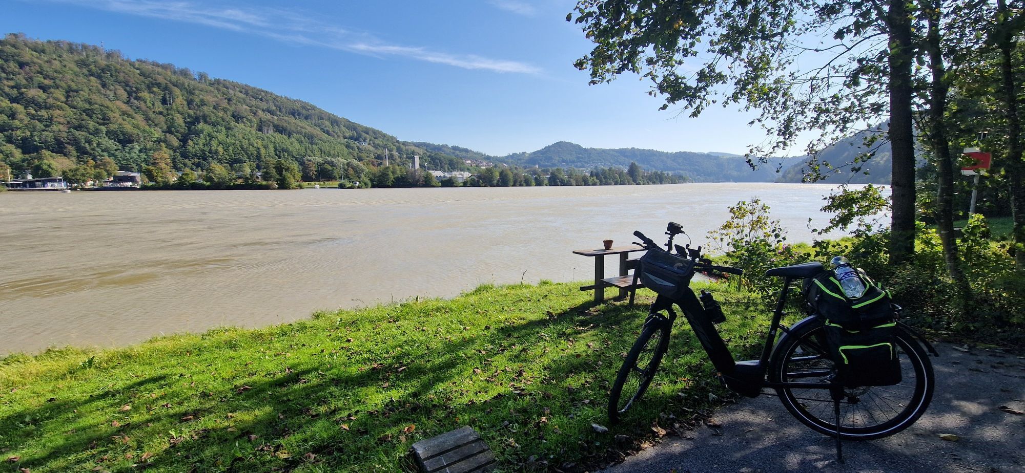
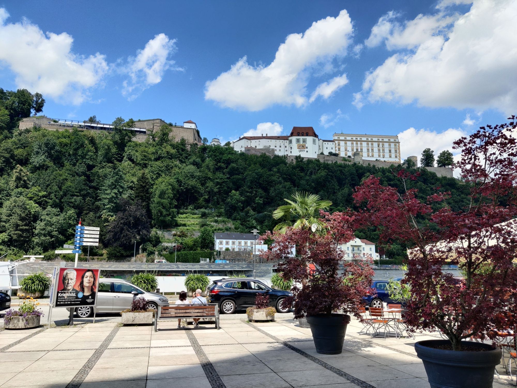
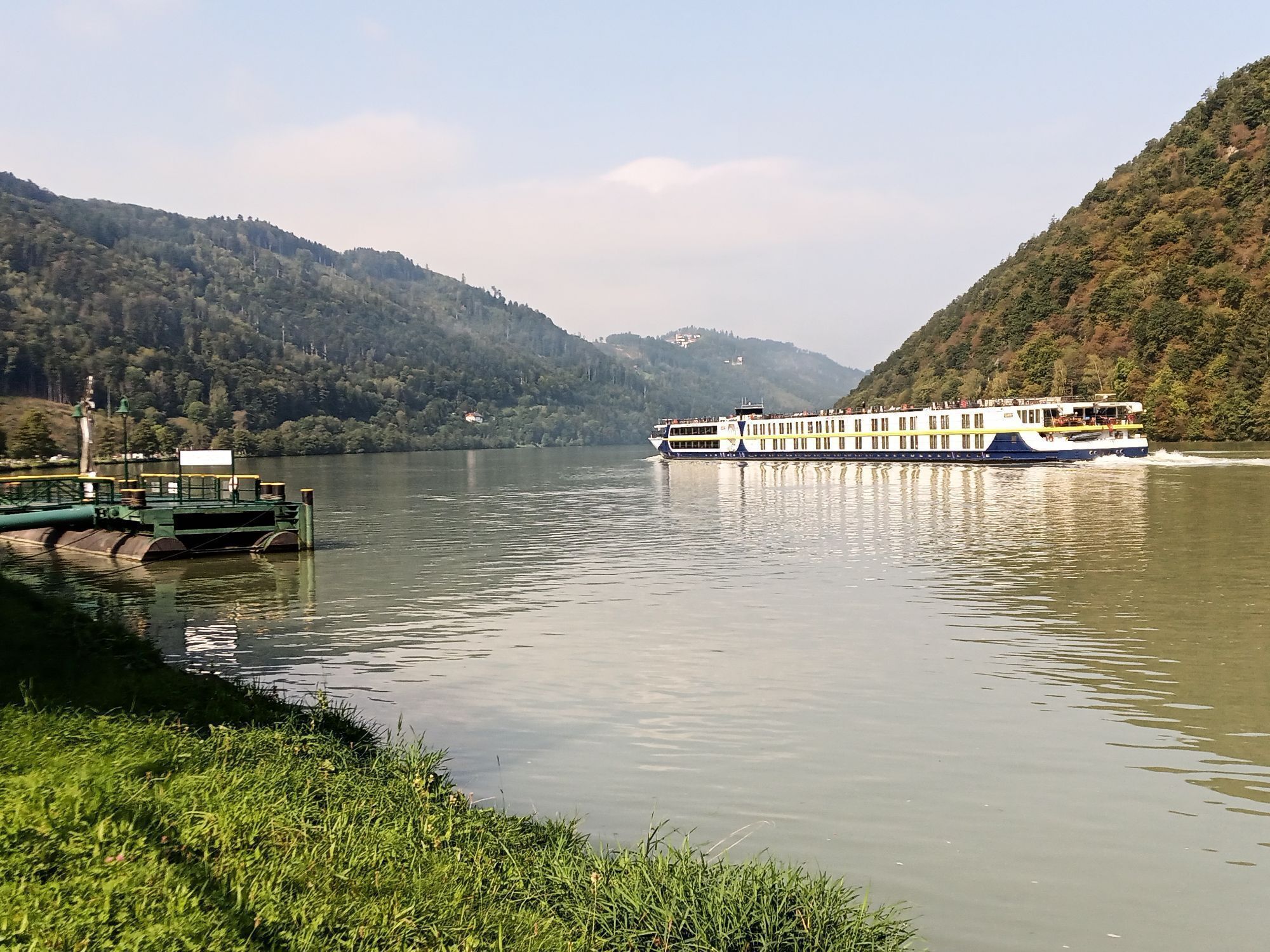
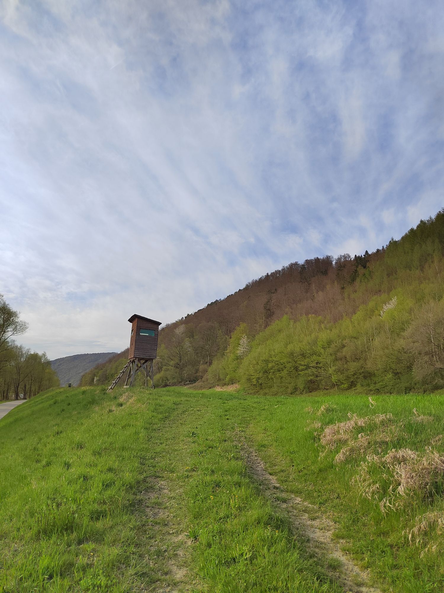
Fotografie našich používateľov
-
 © Bernhard.BreiteggerVytvorené dňa 17.08.2025
 -

 © Rudi ArtnerVytvorené dňa 07.08.2025
 -
 © Rudi ArtnerVytvorené dňa 07.08.2025
 -
 © Michael KoglerVytvorené dňa 16.07.2025
 -
 © rachliVytvorené dňa 04.06.2025
 -

 © Utassy Tóth JohannaVytvorené dňa 20.09.2024
 -
 © Utassy Tóth JohannaVytvorené dňa 20.09.2024
 -
 © Utassy Tóth JohannaVytvorené dňa 20.09.2024
 -

 © karin1108Vytvorené dňa 28.06.2024
 -
 © Erwin KrumböckVytvorené dňa 27.09.2023
 -
 © ReginaStVytvorené dňa 11.04.2025
 -
 © ReginaStVytvorené dňa 11.04.2025
 -
 © ReginaStVytvorené dňa 11.04.2025
 -
 © ReginaStVytvorené dňa 11.04.2025
 -
 © Thomas SikoraVytvorené dňa 05.04.2025


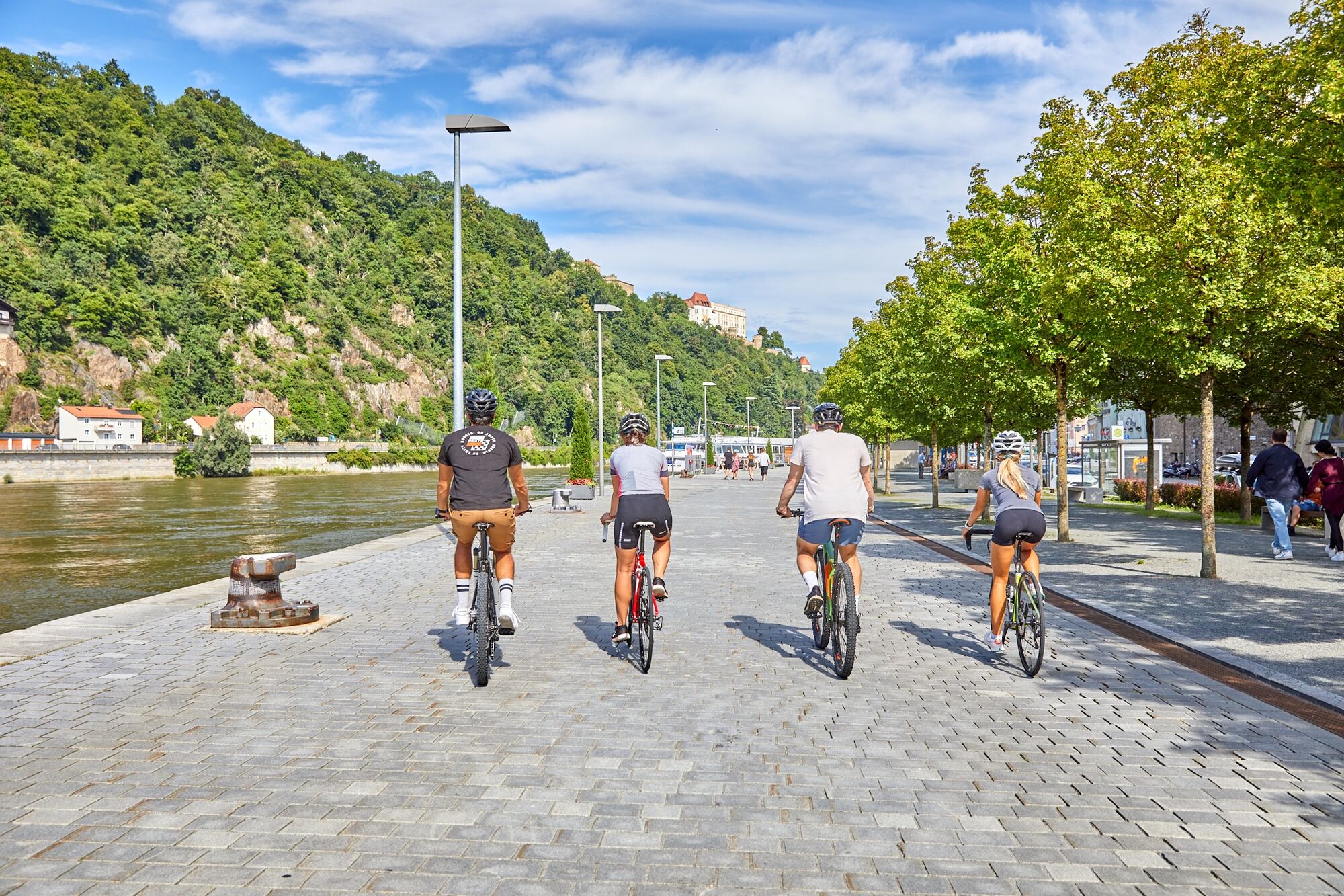
The region along the Bavarian-Upper Austrian Danube is a paradise for all leisure cyclists – because cycling by the river and on the circular routes through the region is full of charm!
On the Danube cycle...
The region along the Bavarian-Upper Austrian Danube is a paradise for all leisure cyclists – because cycling by the river and on the circular routes through the region is full of charm!
On the Danube cycle path from Passau to Schlögen, carefree riding enjoyment awaits all two-wheel fans on both riverbanks. The cycling route enables exciting excursions between the bishop city and the natural wonder Schlögener Schlinge. In addition to natural treasures, the tour between Passau and Schlögen also offers rich cultural heritage to discover. Especially the UNESCO World Heritage Donaulimes is noticeable on this route and invites you to experience it in a very special way.
The history of the Imperium Romanum on the UNESCO World Heritage Donaulimes is exciting. And it becomes even more thrilling when brought to life with augmented reality. How the Danube shaped the Roman past, landscapes, and people. Numerous architectural testimonies of the remarkable and diverse culture are now listed on the UNESCO World Heritage list. Between Passau and Schlögen, modern technology now breathes new life into them.
Discover the Donaulimes World Heritage with Severinus
Follow our Severinus of Noricum to immerse yourself in the eventful history of the Donaulimes World Heritage and to see what remains today. Uncomplicated, simple, and playfully explained – this makes history truly fun!
More information at www.donauregion.at/welterberunde


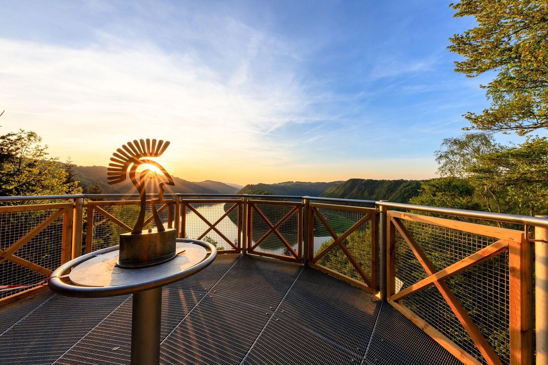
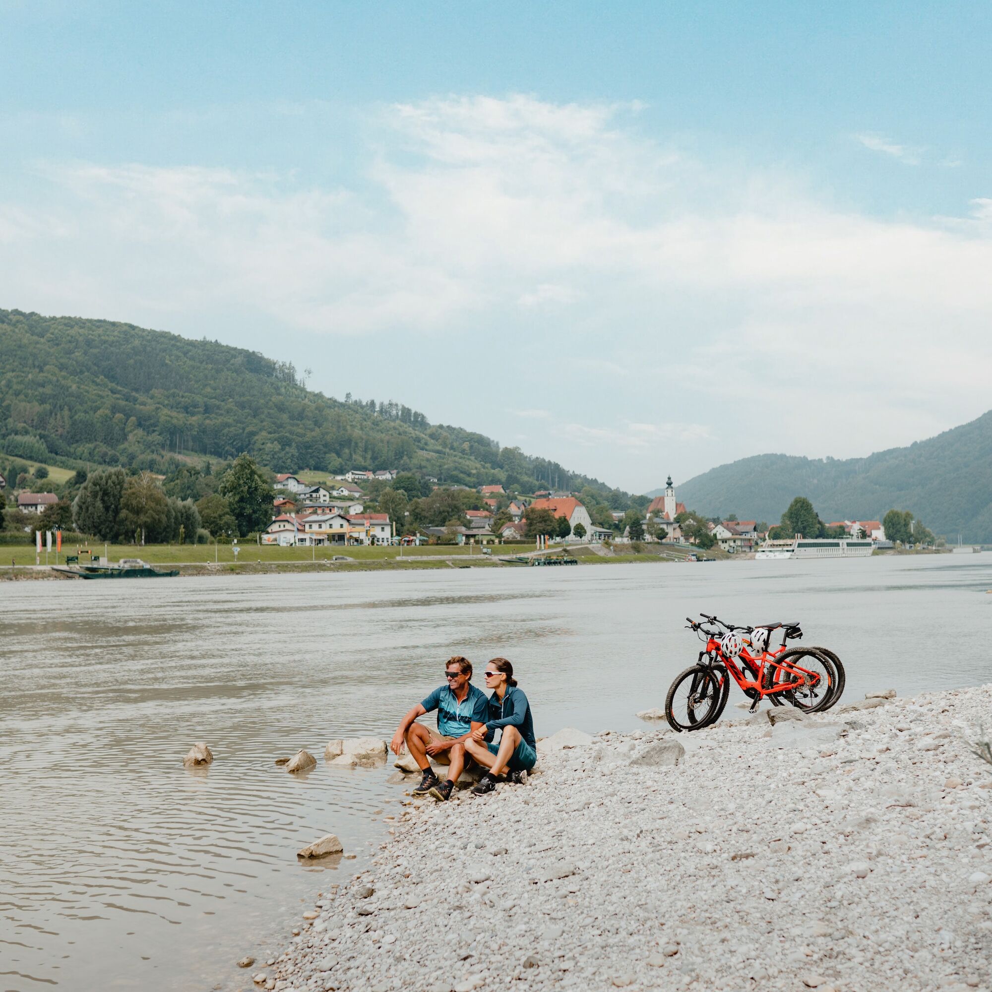
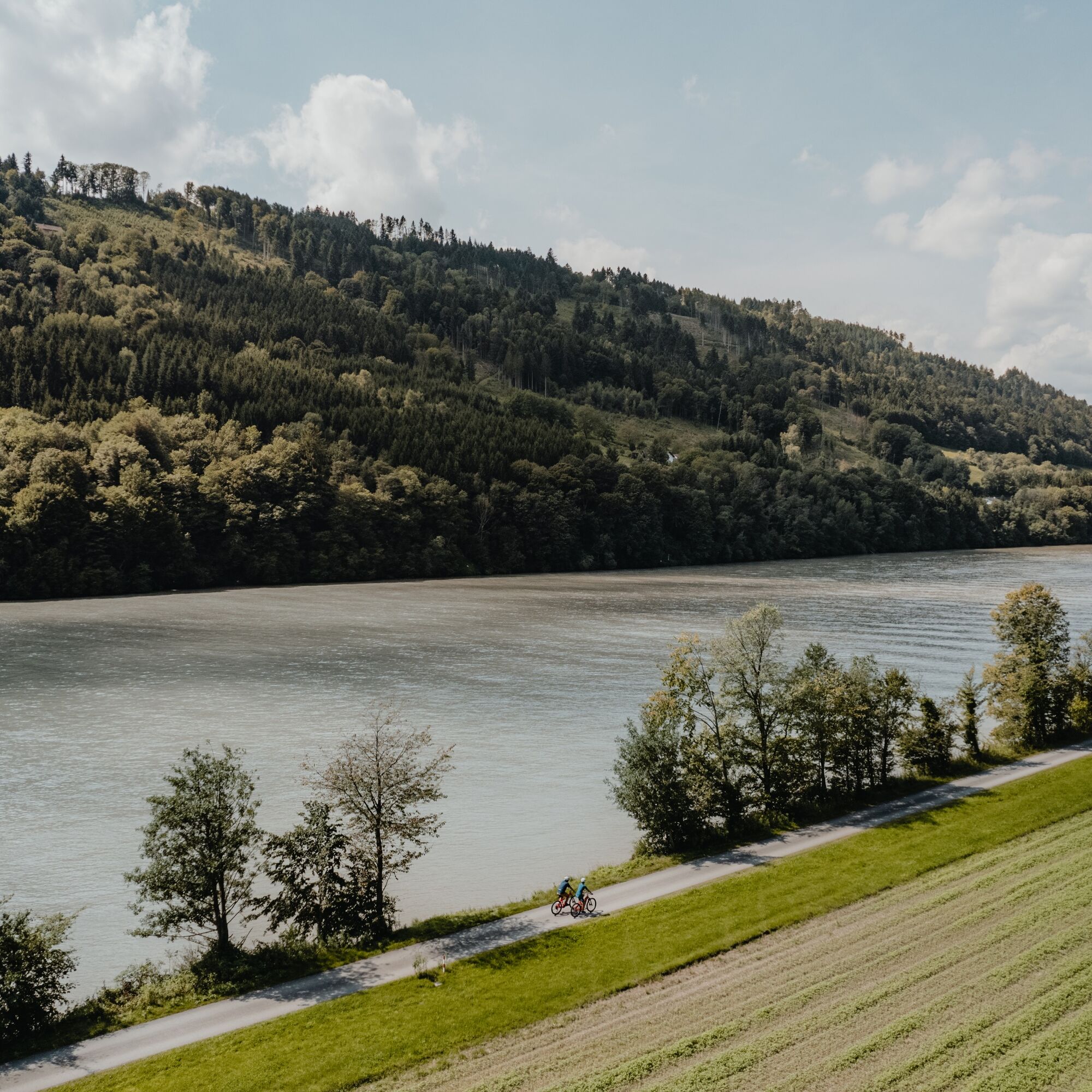
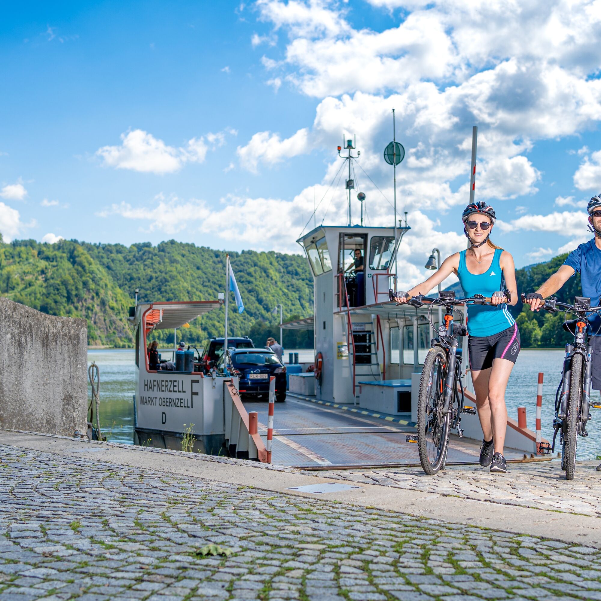
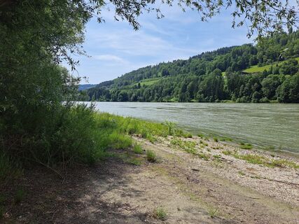
The first stage of this enjoyable river cycle route in search of the fascination of the UNESCO World Heritage Donaulimes leads from the three-river city Passau downstream through the deeply incised Danube Gorge of the Upper Danube to the famous natural wonder Schlögener Danube Loop. Here on the Roman side of the legendary military border, landscape, excavations, visualizations, ... let you experience the world of the Romans. Additionally, St. Severin offers very personal video insights into his time. The second stage leads upstream on the search for the fascination of the UNESCO World Heritage Donaulimes on the outside of the Donaulimes – in the land of the barbarians – back to Passau. After a magnificent deep view of the natural wonder Schlögener Danube Loop and typical Danube crossing by cycle ferry, idyllic river cycling along rare slope and gorge forests delights. Thoughts of the eternal forests of the free Germans in Roman times awaken involuntarily. Every border has two sides!
Highlights:
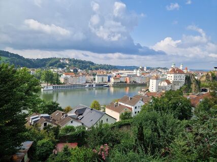
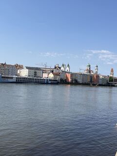
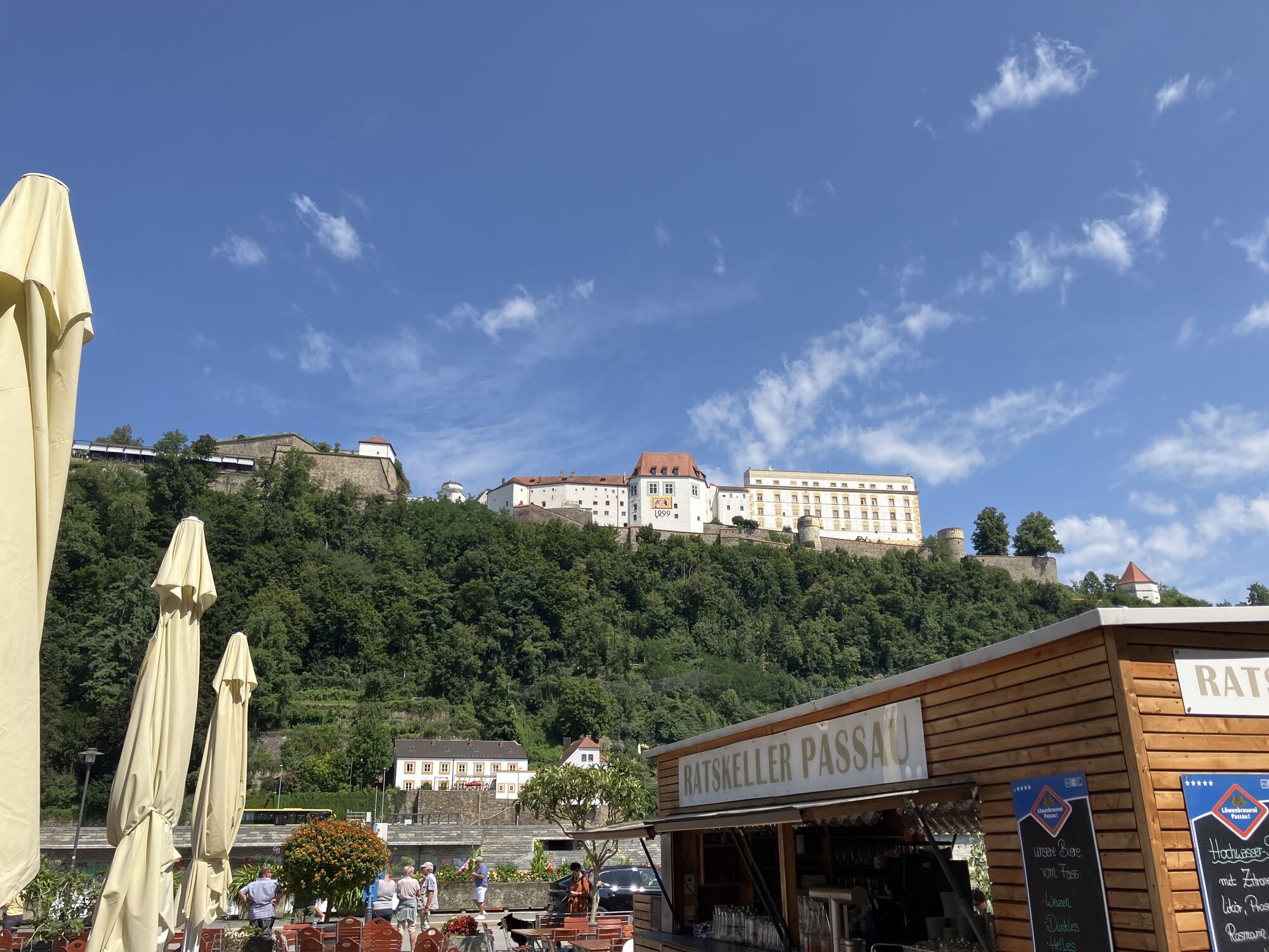
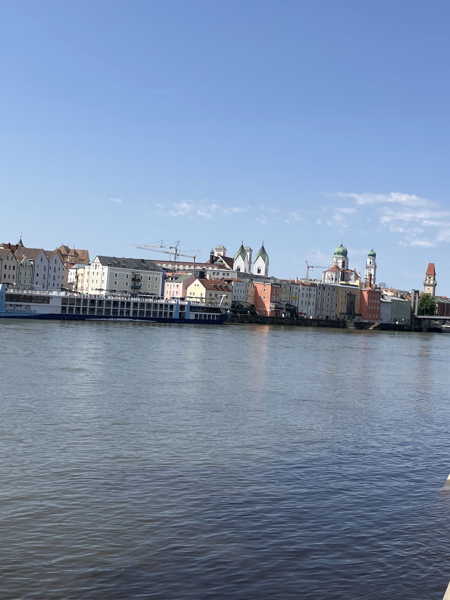
Old town peninsula Passau (fortress city Batavis + Roman harbor) Castle Boiotro with Roman museum (deep insights into the local Roman world, visualizations) European protected area Upper Danube Valley (Donaulimes, nature highlight) Burgus Oberranna (excavation site, visualizations) Natural wonder Schlögener Danube Loop & Roman park Schlögen (excavation site, visualizations) Roman rest areas with insights into Roman life Video insights of St. Severin into his time at the 3 UNESCO World Heritage sites Natural wonder Schlögener Danube Loop (viewing platform & crossing with Danube ferry) Upper Danube narrow valley (rare slope and gorge forests = primeval forest of the free Germans) Obernzell (graphite – the black gold)
To the stage descriptions:
Stage 1: Donaulimes – In the Realm of the Romans
Stage 2: Donaulimes – In the Land of the "Barbarians"
Áno
Signage:
To help you with orientation, this themed cycle route has been marked with its own cycling guidance system. In practice, there are adaptations for the Bavarian and Upper Austrian state cycle guidance systems.
Special notice:
Attention! Border crossing Upper Austria – Bavaria at Passau. Don’t forget your passport!
How to travel to the Danube region?
The fast way to your destination – by train, bus, car, ship, or plane.
Parking in Passau
1
Tip: Part of the cycling route can also be covered by the Danube shipping.
Info & schedules at www.donauschifffahrt.eu
Obľúbené výlety v okolí
-
3,7
Waldkirchen: 4/4 View Round | Large Danube Resonance Path Round
strednáTuristika 12,9 km -
4,7
Hofkirchen: Waterfall round
strednáTuristika 8,43 km -
5,0
Ranna-Stausee
svetloTuristika 12,2 km -
4,0
Panoramaweg
svetloTuristika 7,53 km -
5,0
Kneipp,- Fitnessweg im Rannatal
svetloTuristika 3,79 km -
4,0
R1.05 Sauwald Panorama Route
strednáCyklistika 57,8 km -
5,0
Rannastausee
svetloTuristika 9,03 km -
3,5
Esternberg: Kößlbachrunde
svetloTuristika 15,8 km -
3,0
Dunajská cyklocesta, 1. etapa, severný breh: Passau - Schlögen
svetloDiaľková cyklotrasa 40,8 km -
5,0
Engelhartszell: Trappist Round
strednáTuristika 12,0 km
Turistika a stopovanie


Nenechajte si ujsť ponuky a inšpiráciu na ďalšiu dovolenku
Vaša e-mailová adresa bol pridaný do poštového zoznamu.