



About Squirrels and Horns

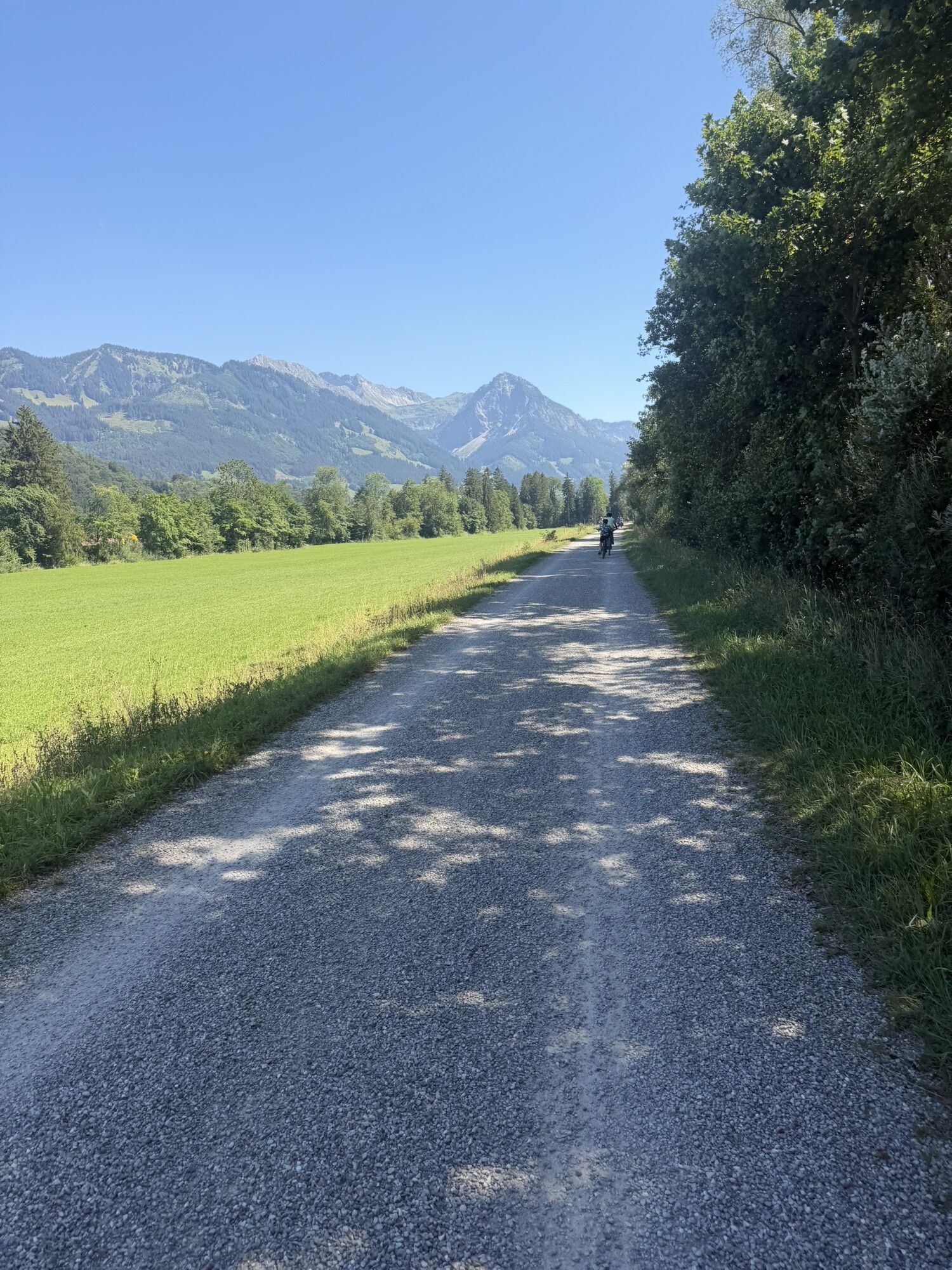
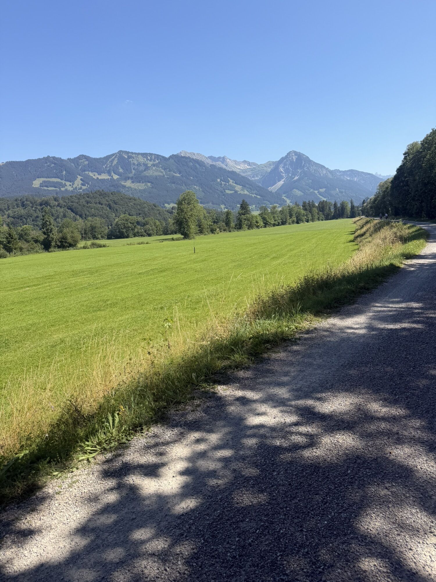

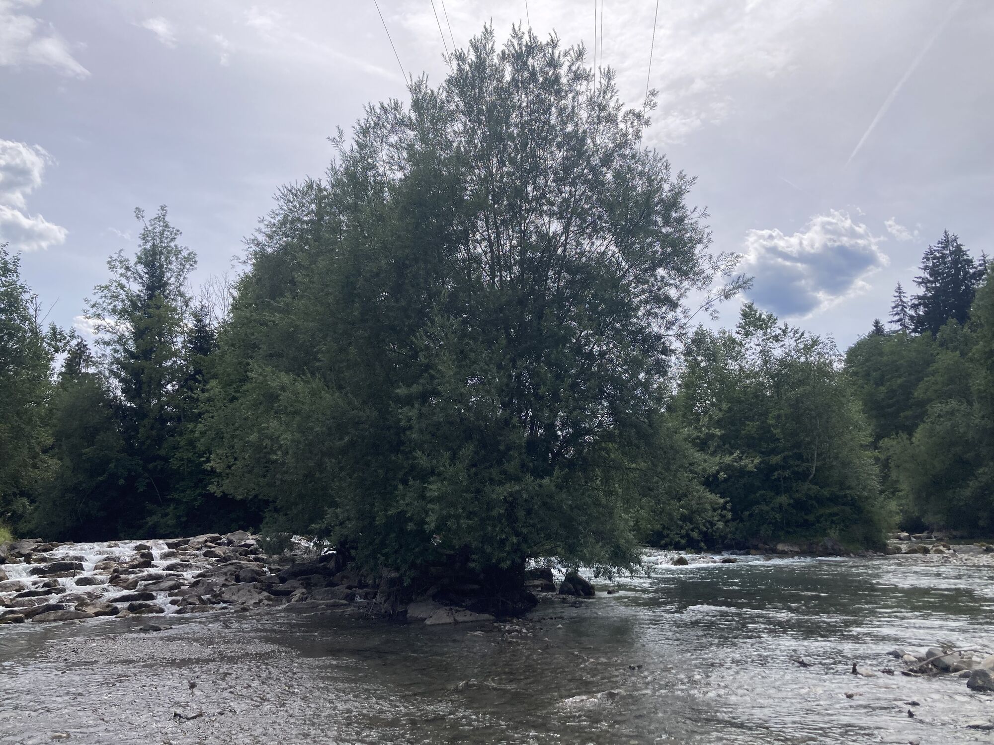
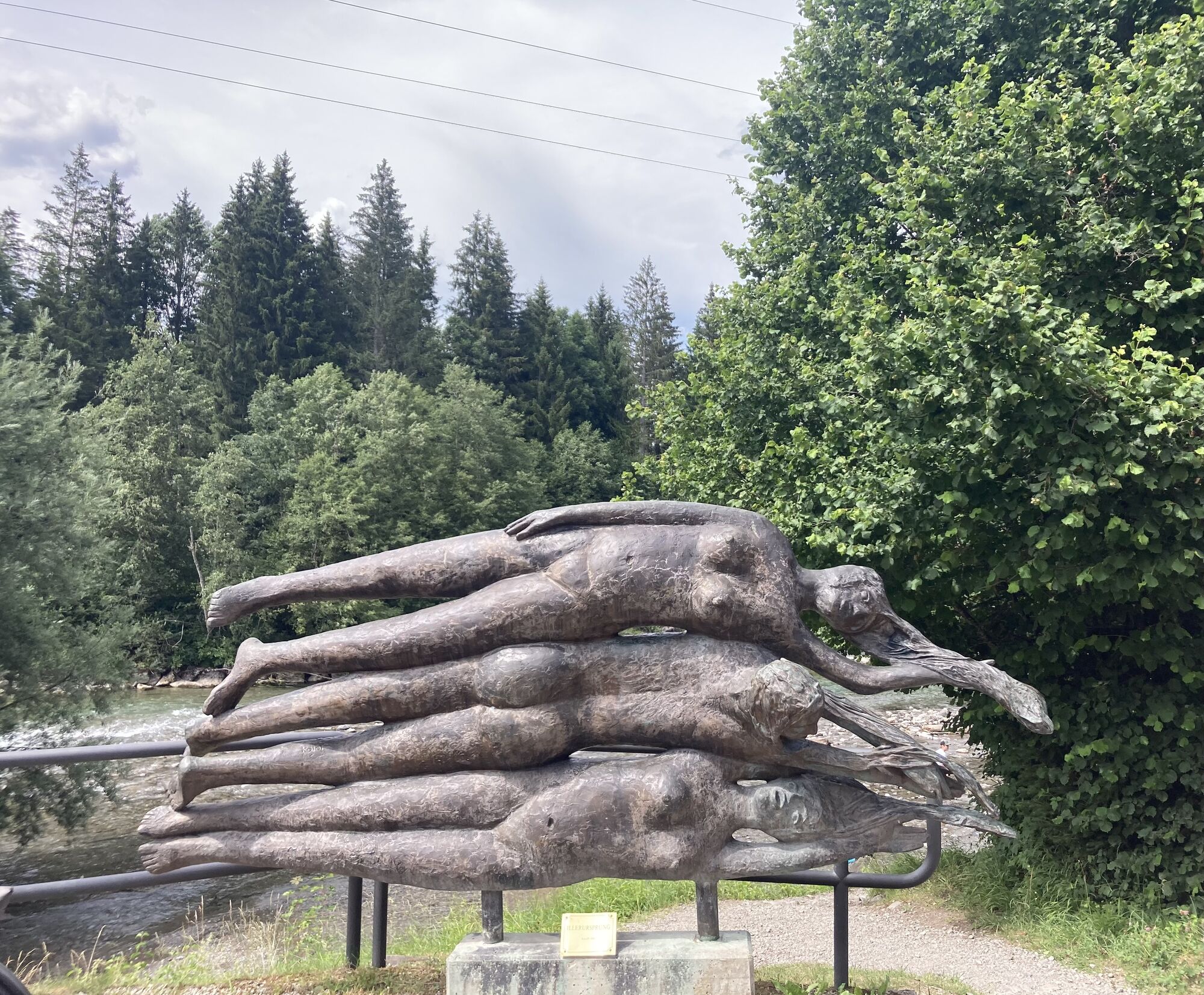
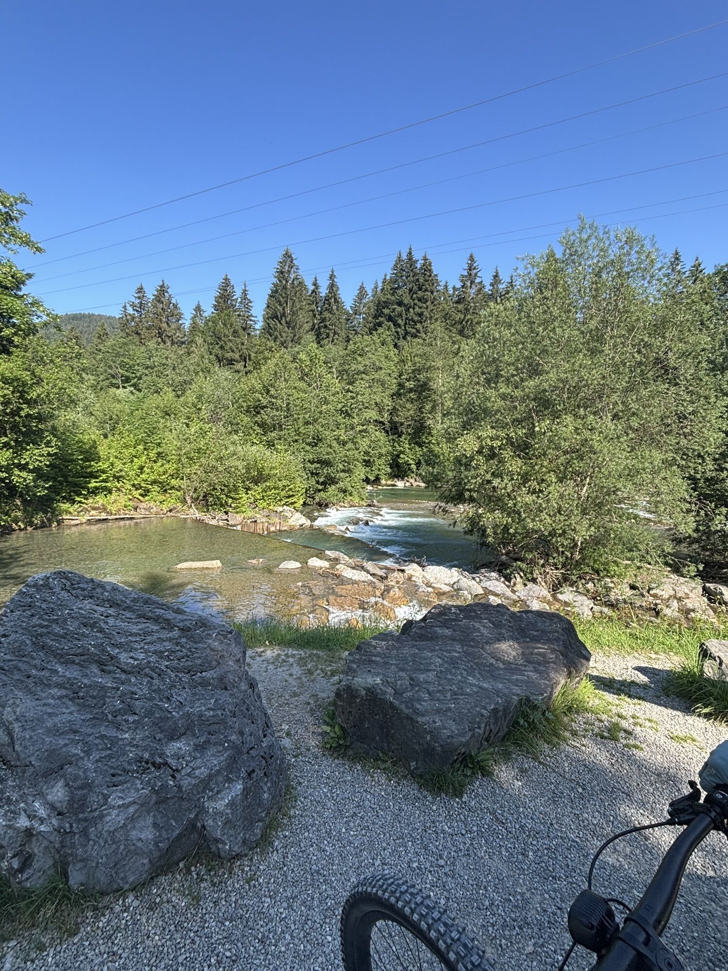


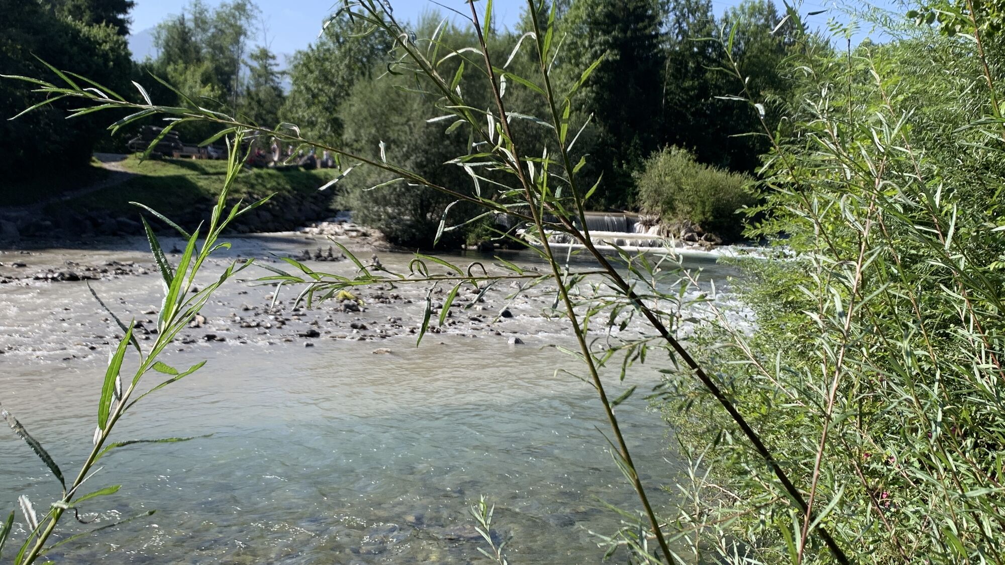
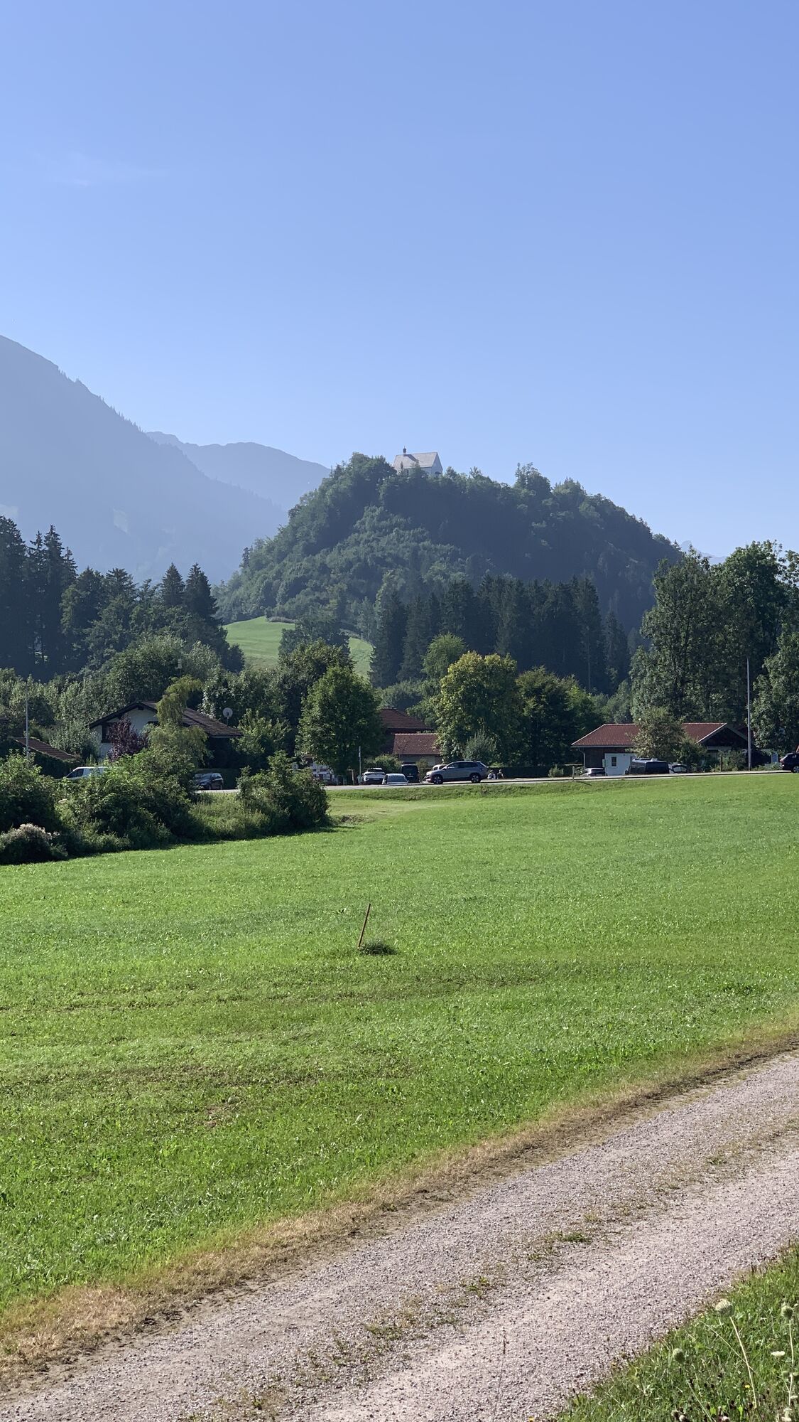
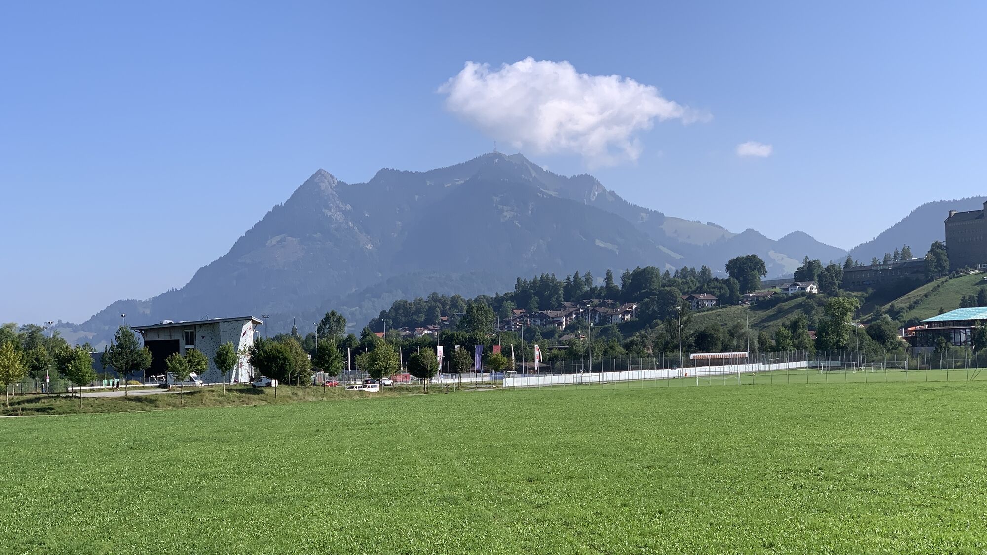



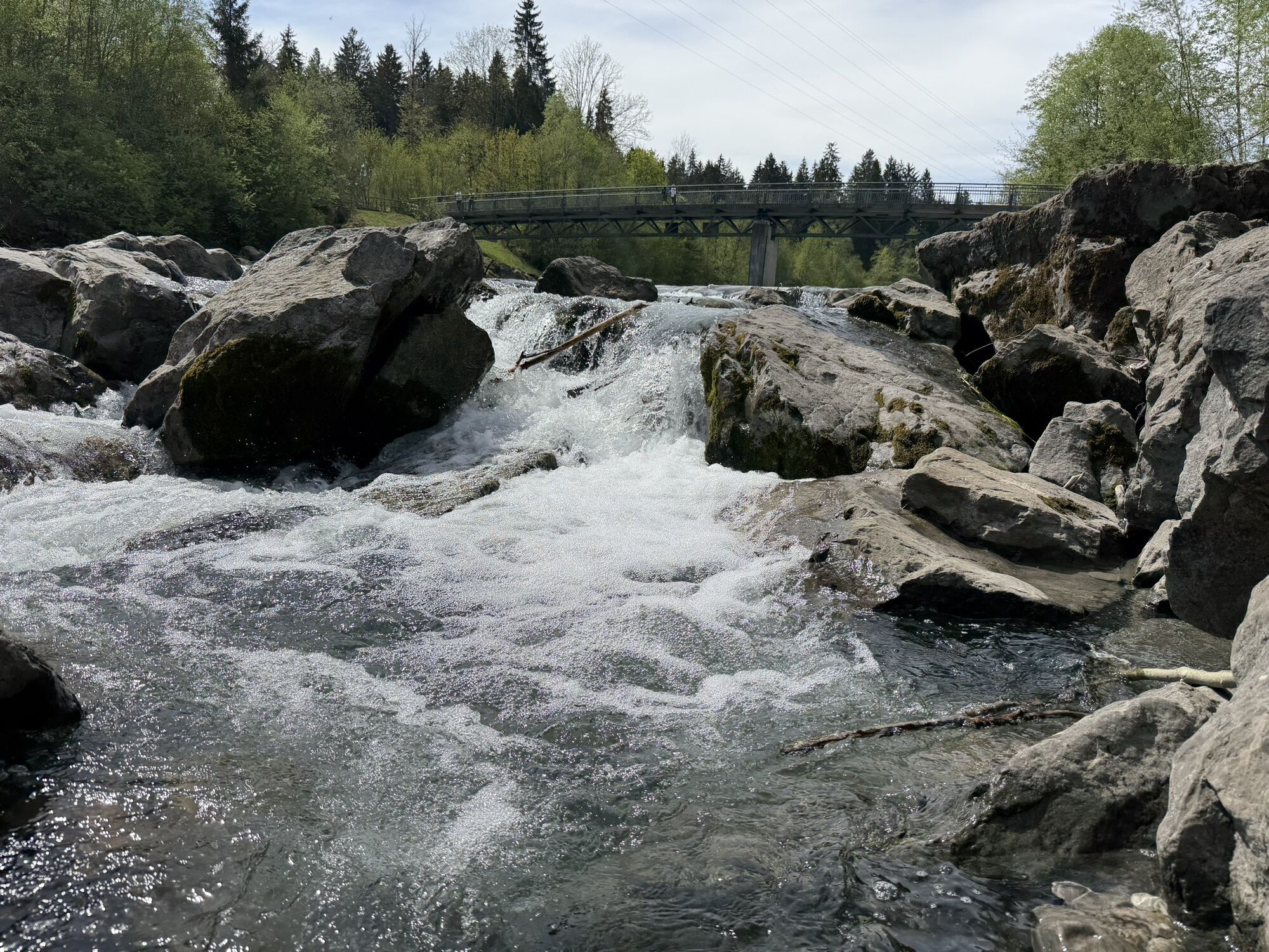
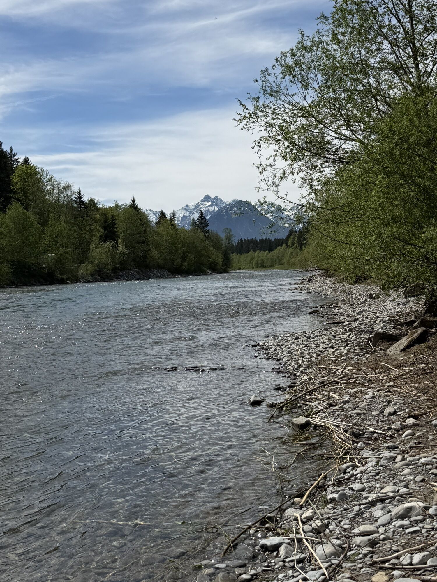
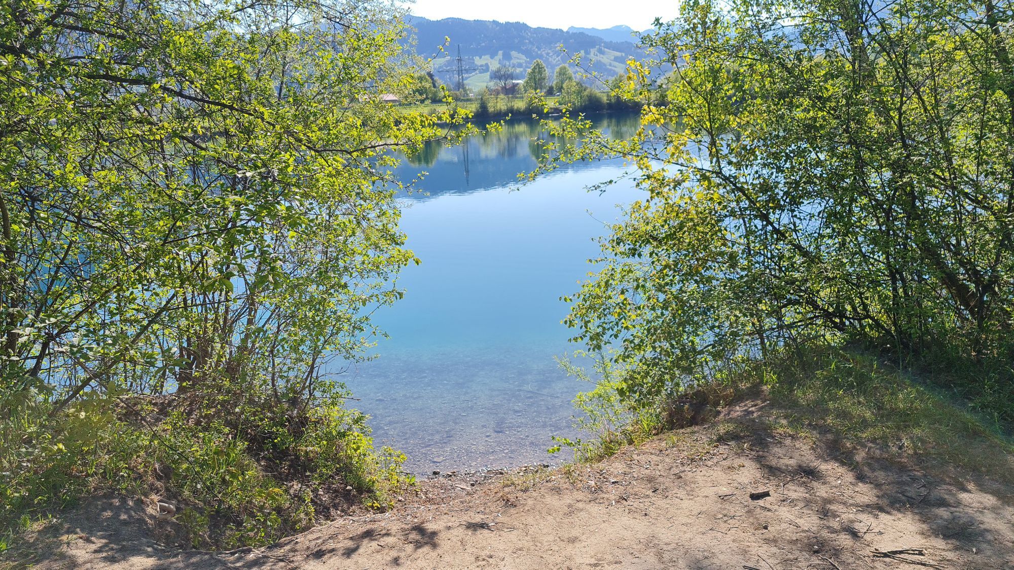
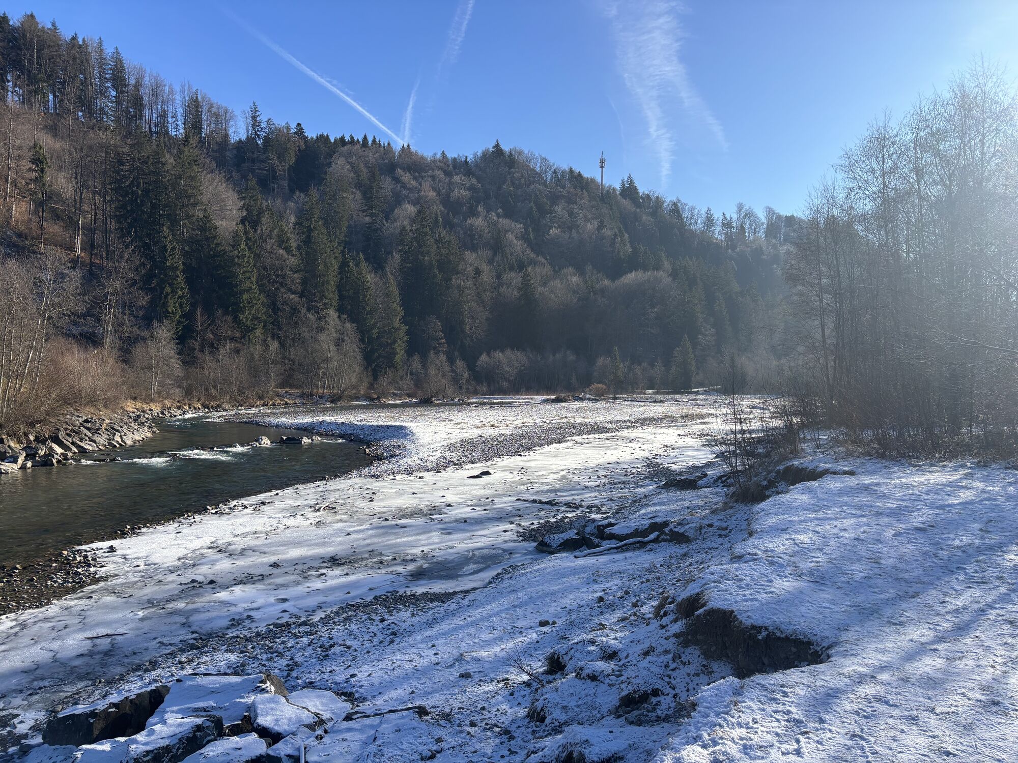


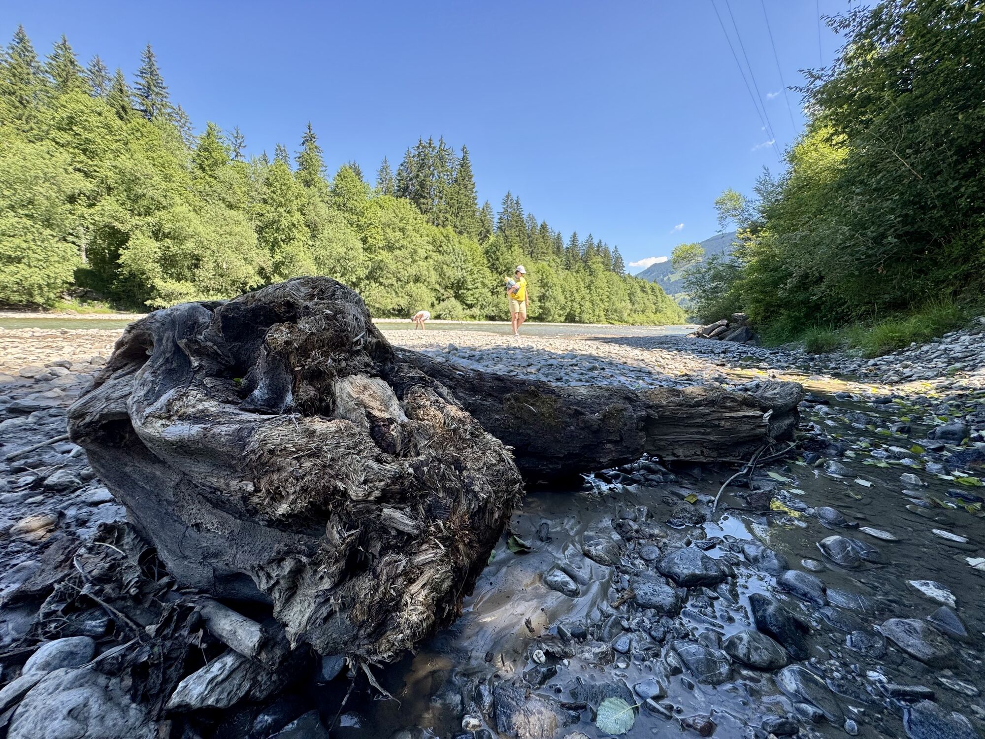
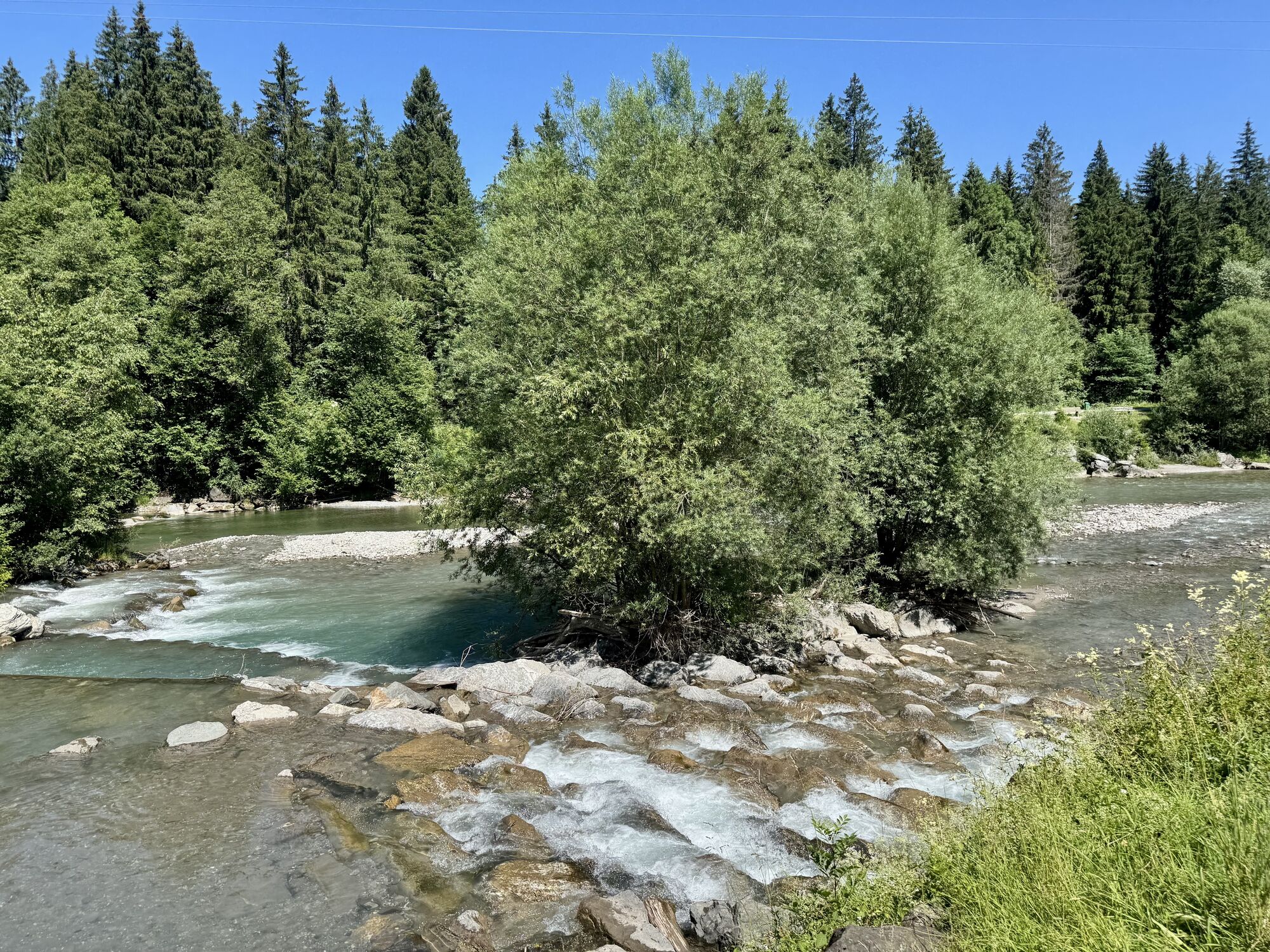
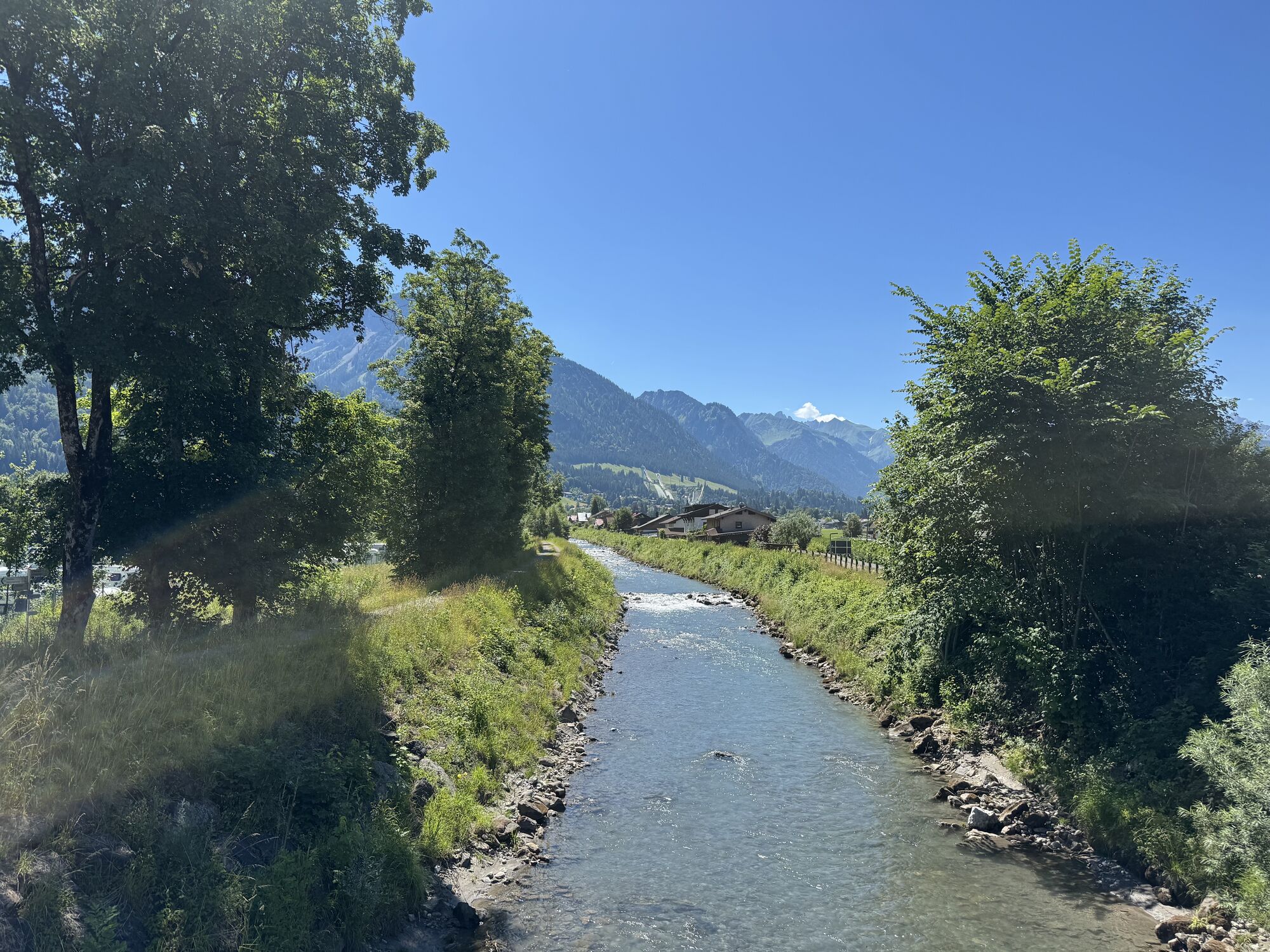


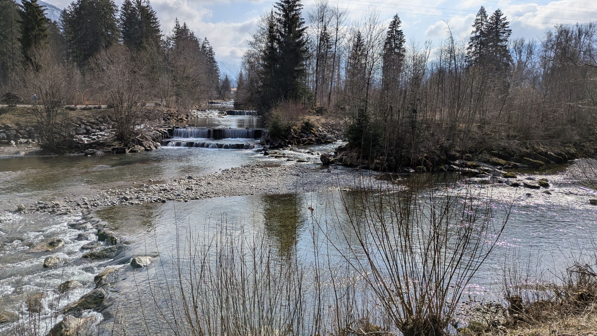
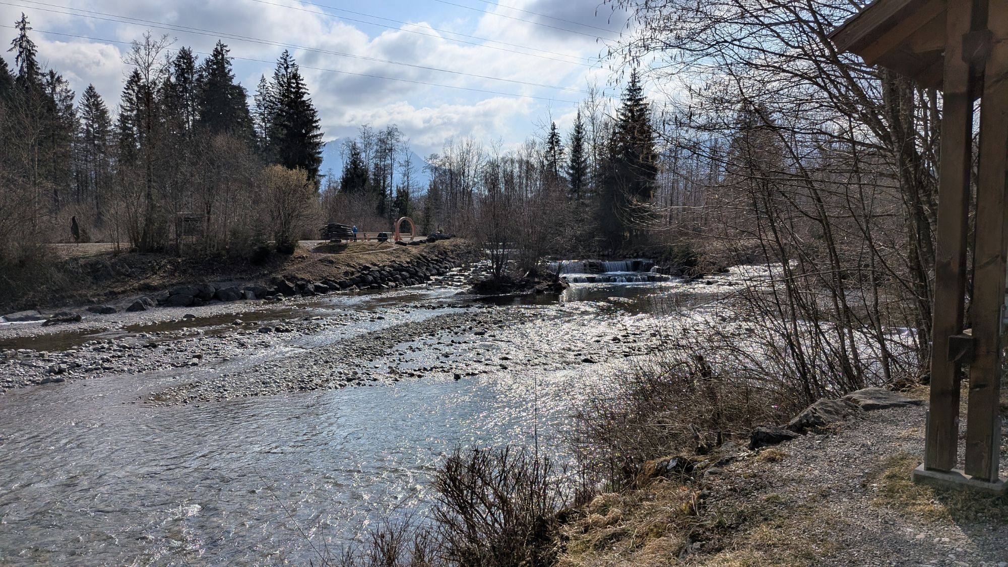
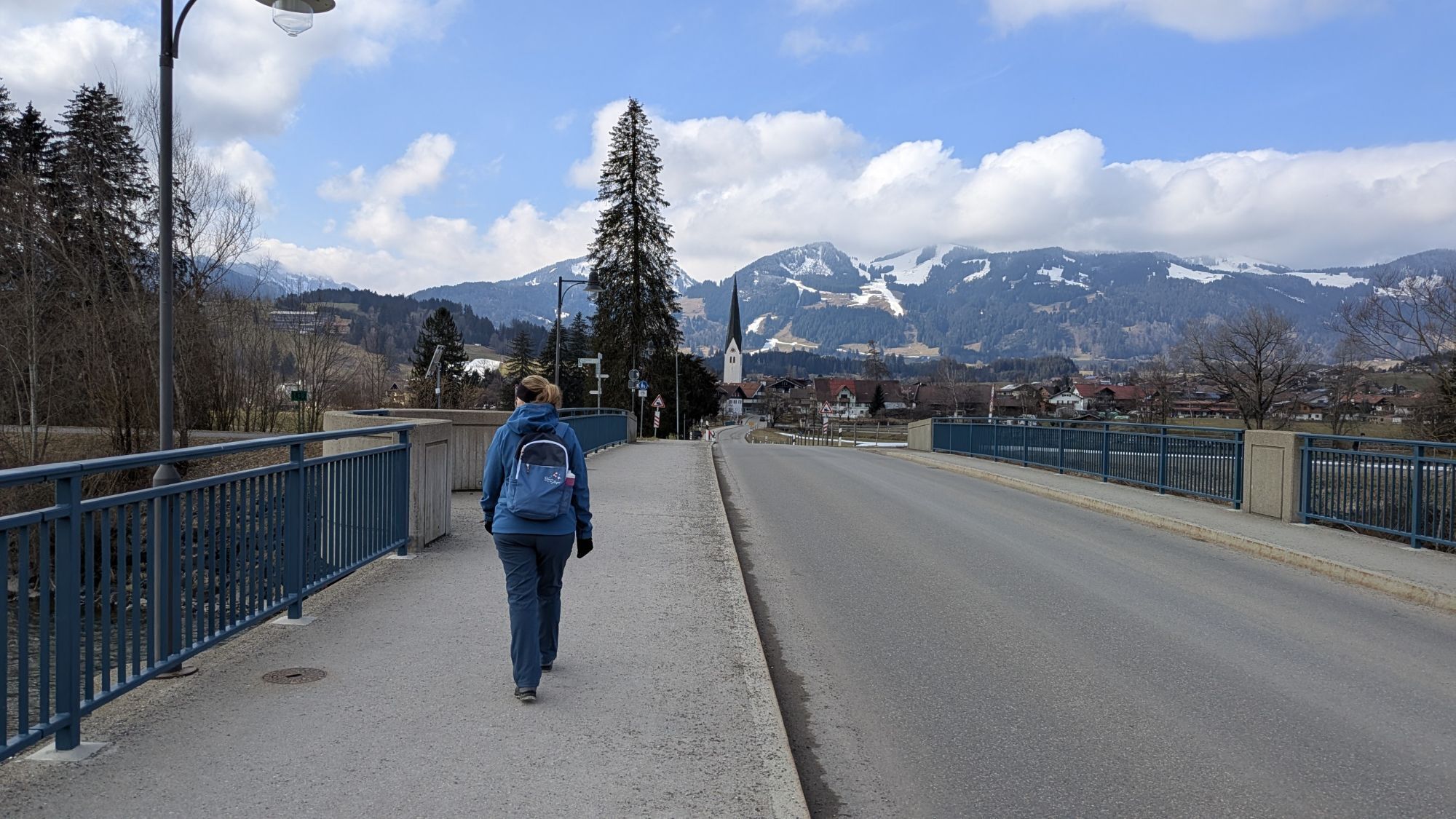
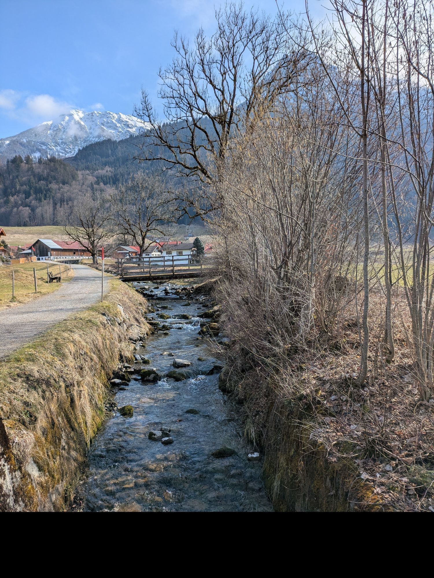
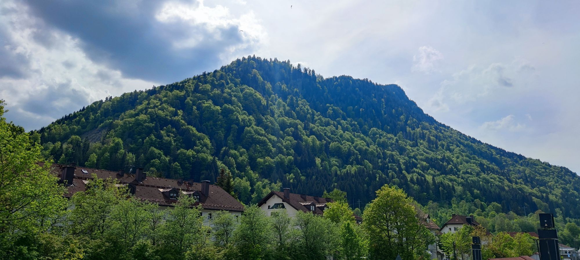
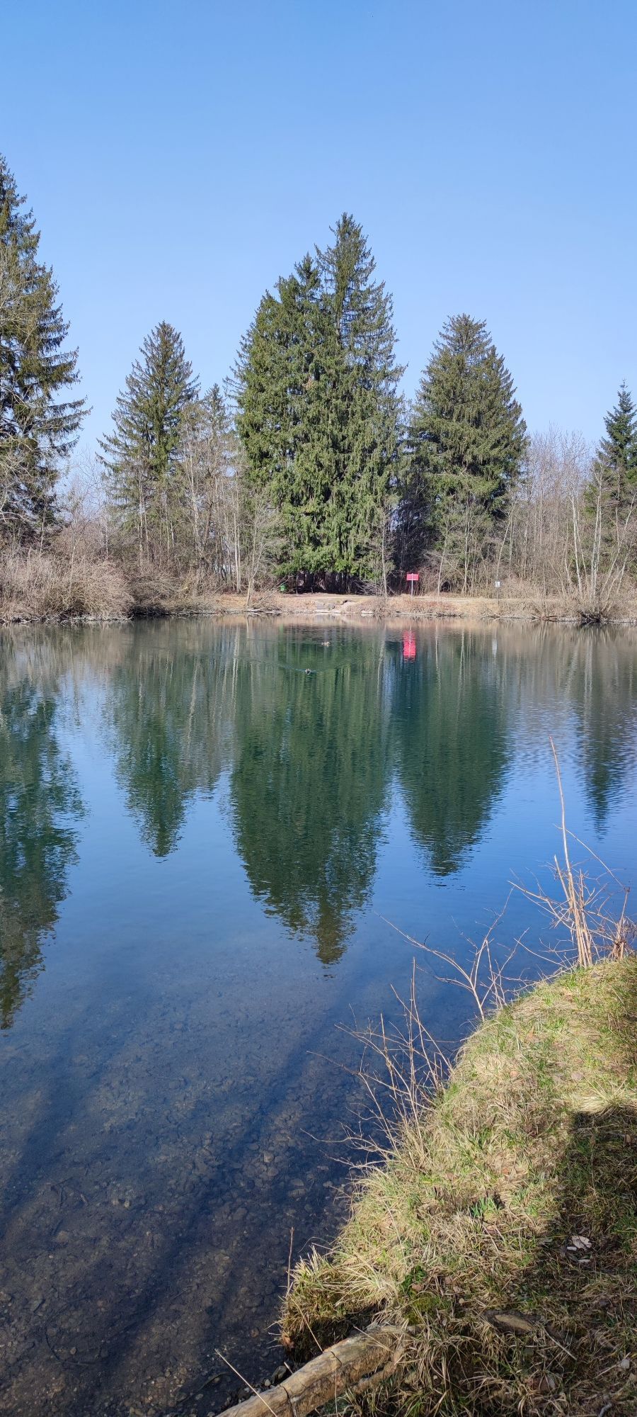
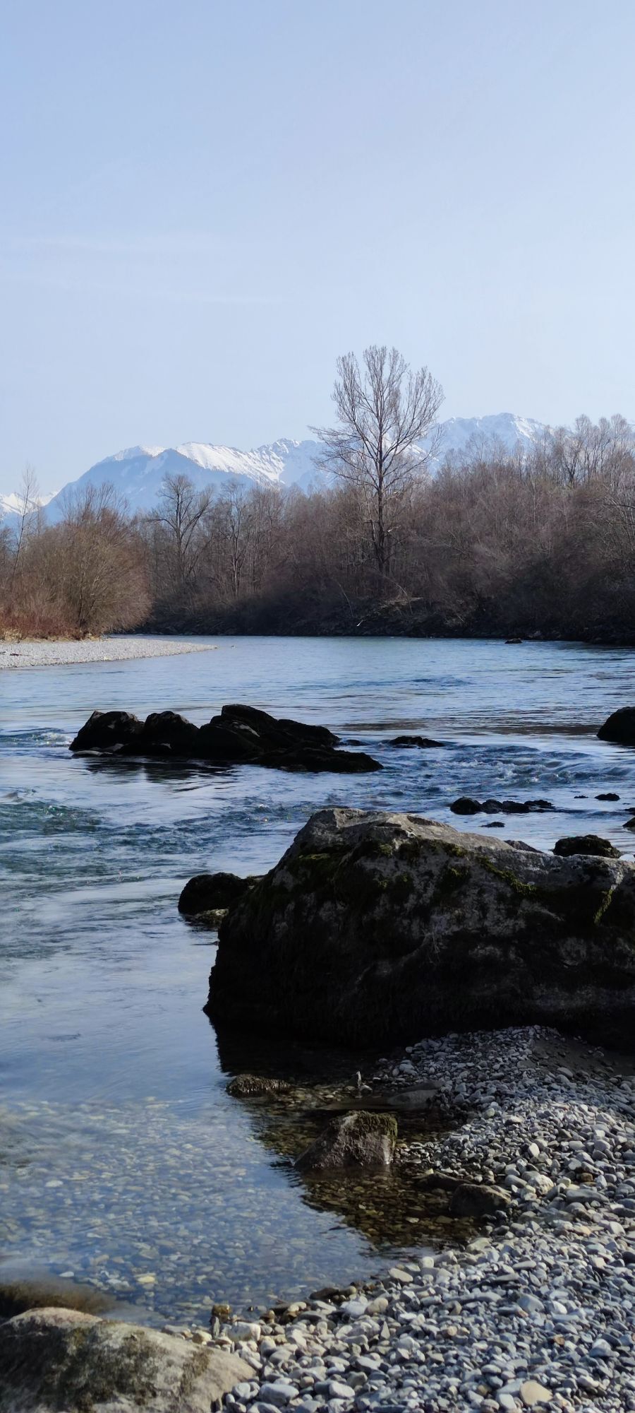
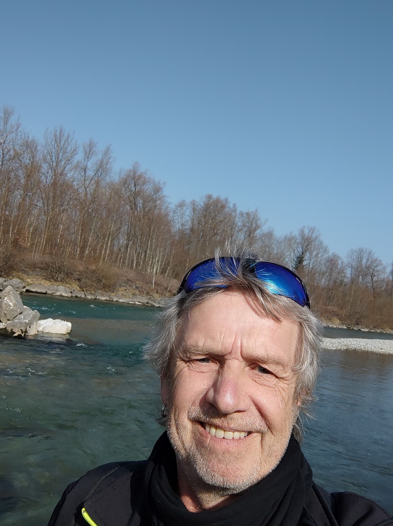
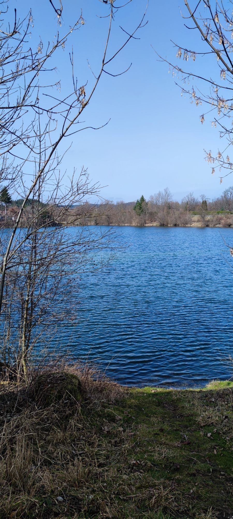
The tour starts at the train station in Immenstadt. From there, the route leads past Marienplatz to the Iller River, where it joins the Iller Bike Trail. From here, the route follows the embankment out...
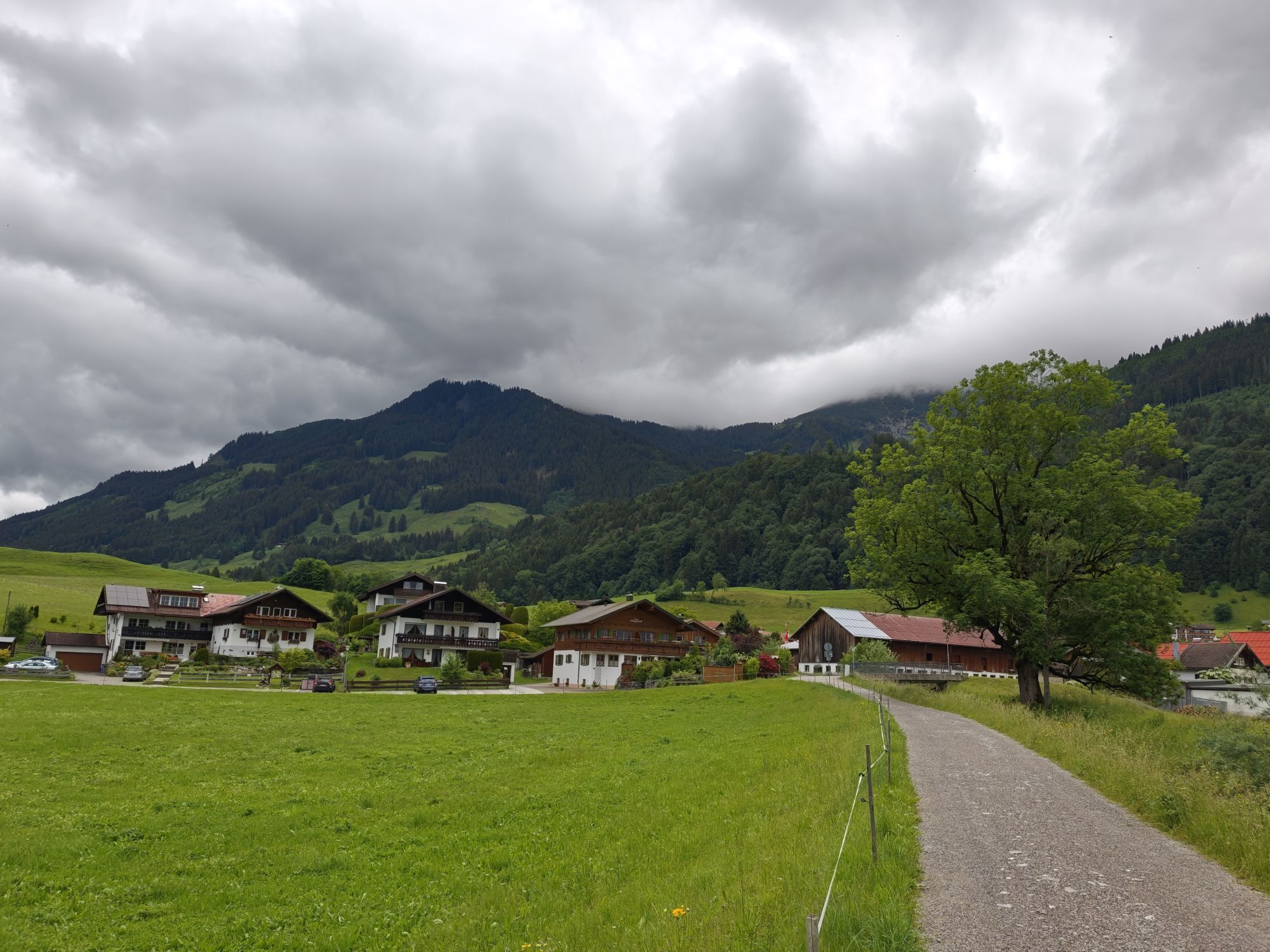
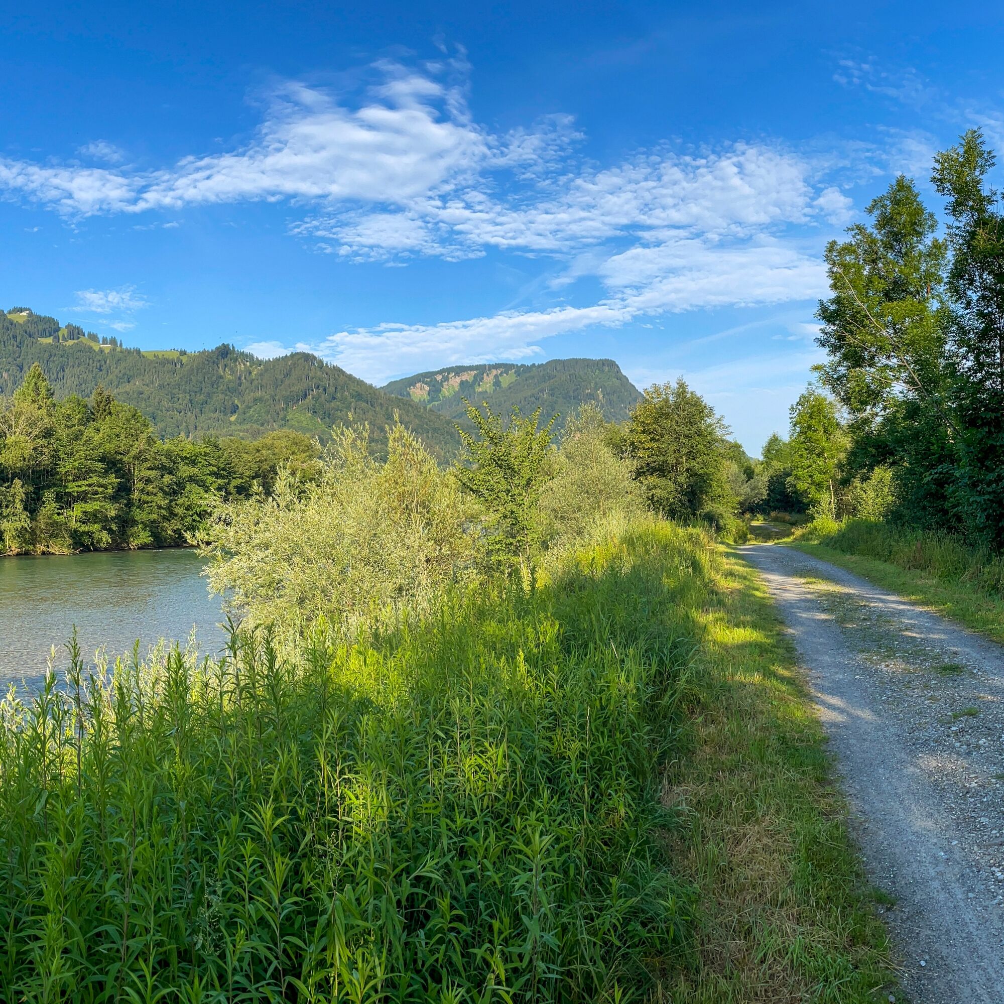
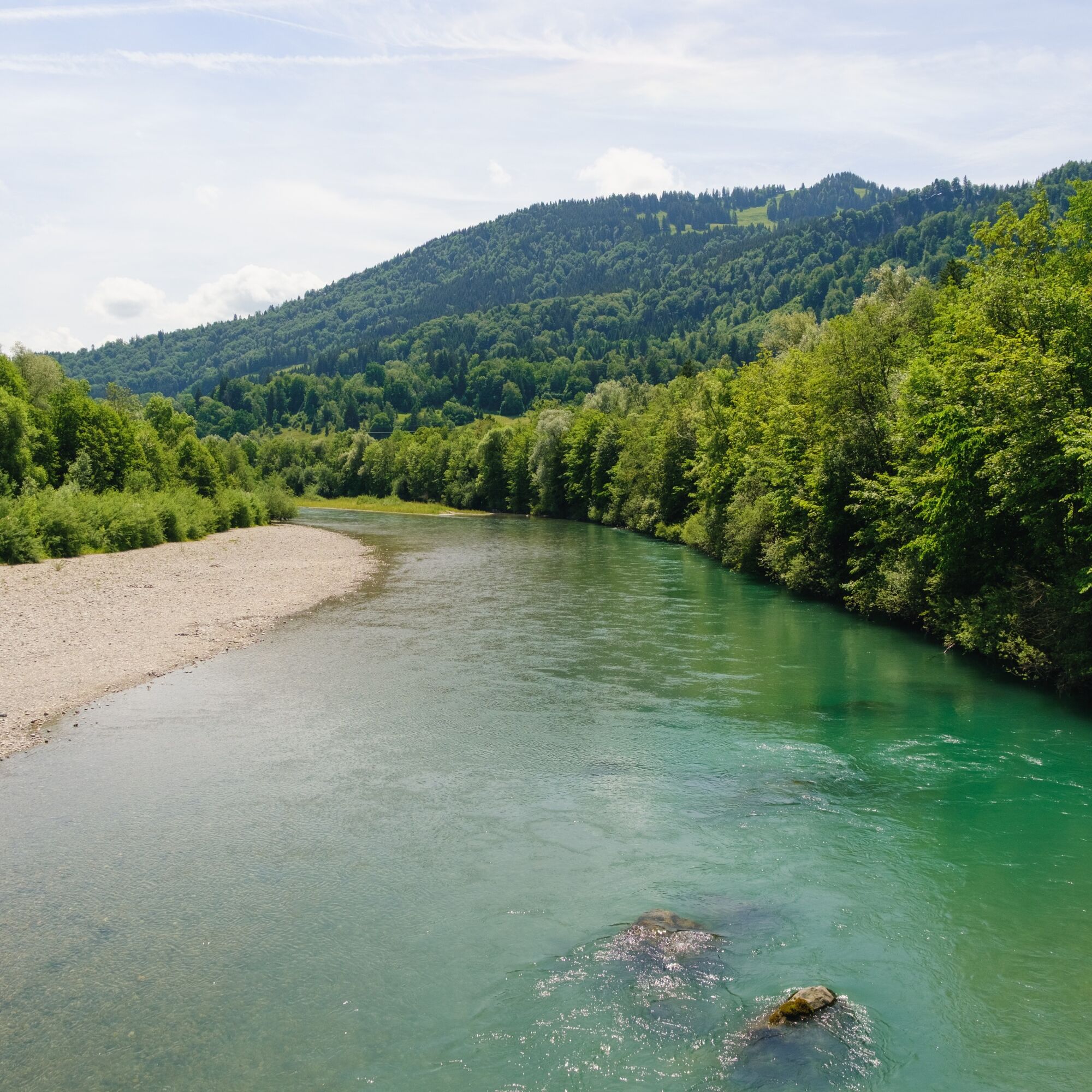
On well-maintained bike paths, the route heads upstream through the varied landscape of the Iller Valley to Fischen. There you’ll find the famous Eichhörnchenwald(Squirrel Forest), which is a great spot for a short break. With a little luck, you can observe the wild squirrels up close.
The route continues on to Oberstdorf. On this section, too, the route follows the signs for the Iller Bike Trail.
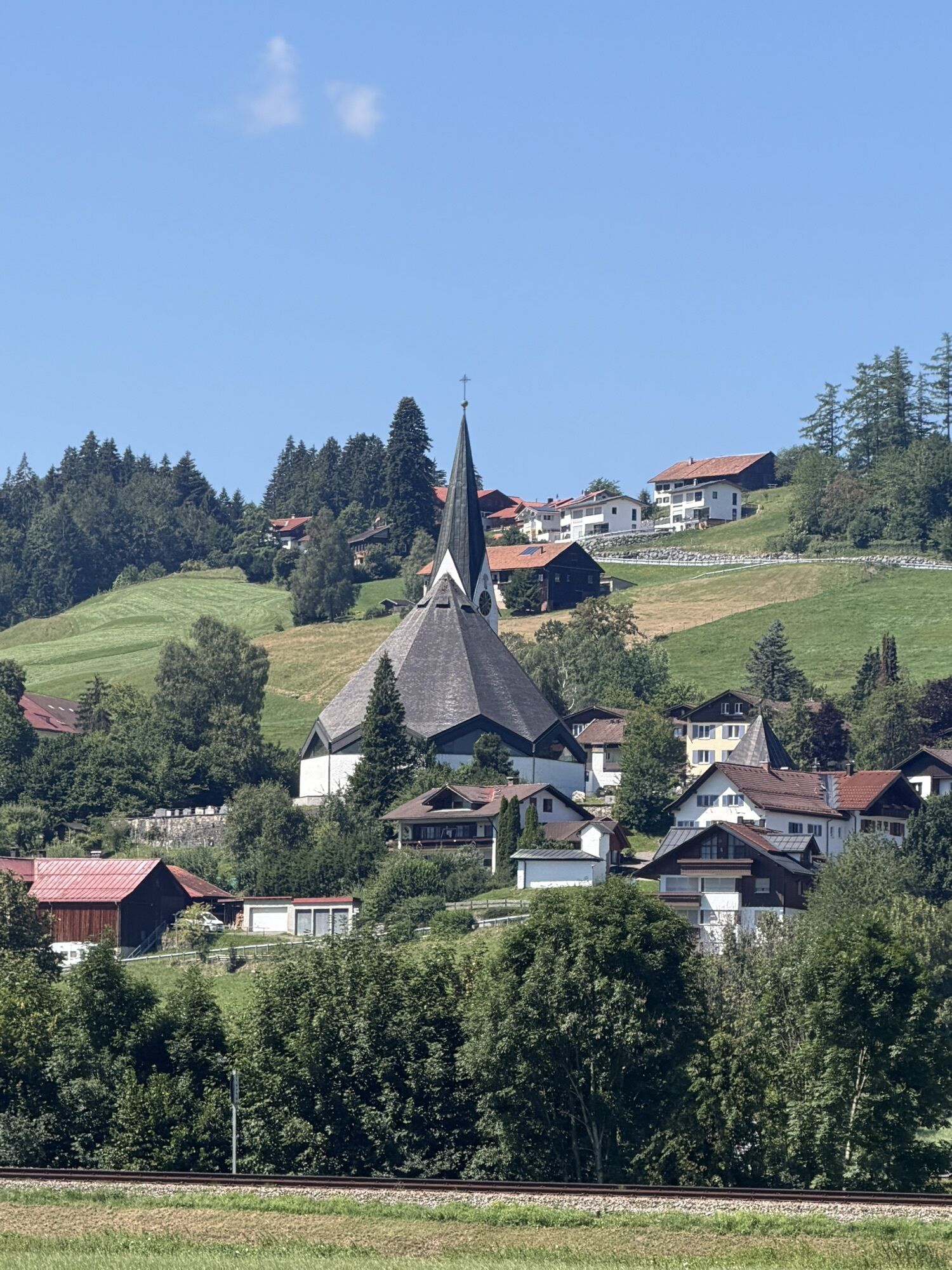
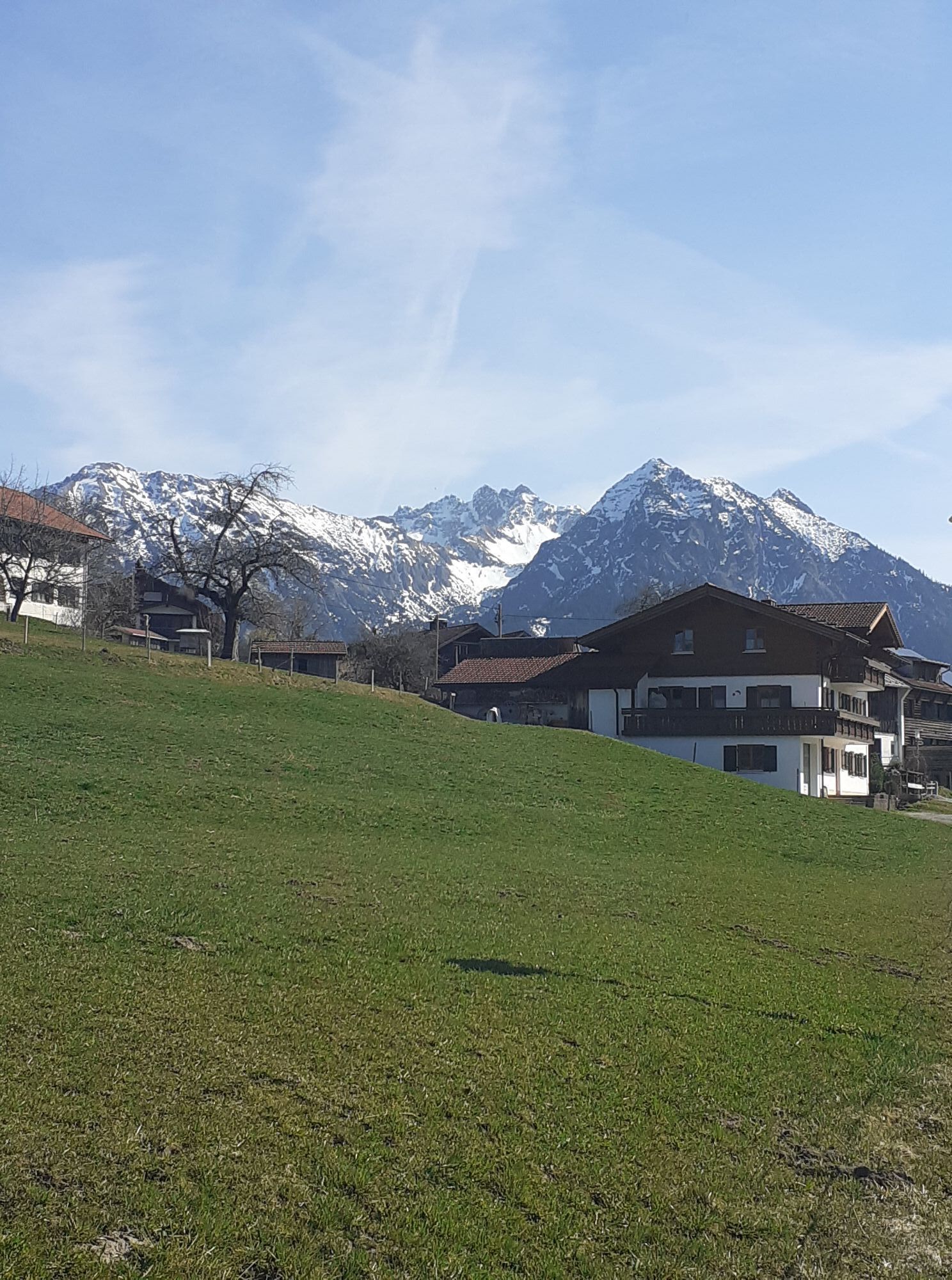
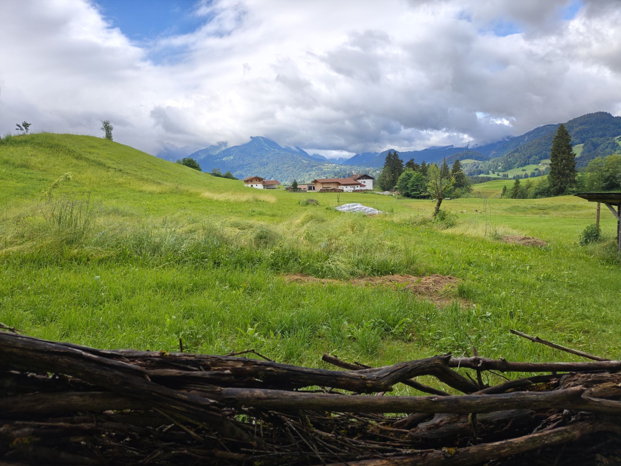
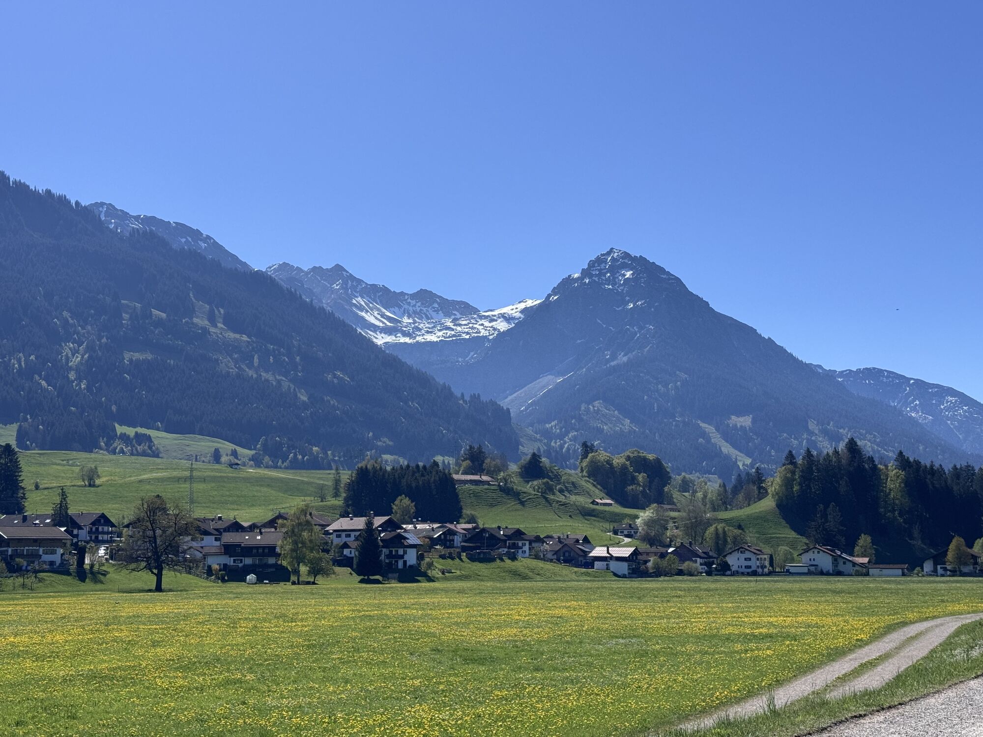
The return trip leads from Oberstdorf via Langenwang to Bolsterlang. From there, the route continues through the hamlets of the Hörnerdörfer to Ofterschwang. The route passes through the typical pre-Alpine landscape of the Oberallgäu, featuring meadows, small villages, and views of the Hörner Group. From Ofterschwang, the route heads back into the
Iller
Valley and continues toward Immenstadt.
Alternatively, the return trip to Immenstadt can be made along the same route along the Iller River. Another option is to take the train back from Oberstdorf. A separate bike ticket is required to transport bicycles.


Áno
Alternatively, it can also be reached by car.
Take the train to the Immenstadt station. From there, walk across Marienplatz to the Iller Cycle Path.
Did you know?
All vacationers staying in Immenstadt receive the Mobil Pass Allgäu from their host. This pass allows you to take public transportation on this tour for free.
However, an extra ticket must be purchased to transport bicycles, and bicycle transport is not guaranteed during peak travel times.
Parking is available at Viehmarktplatz.
Visit to the source of the Iller River near Oberstdorf
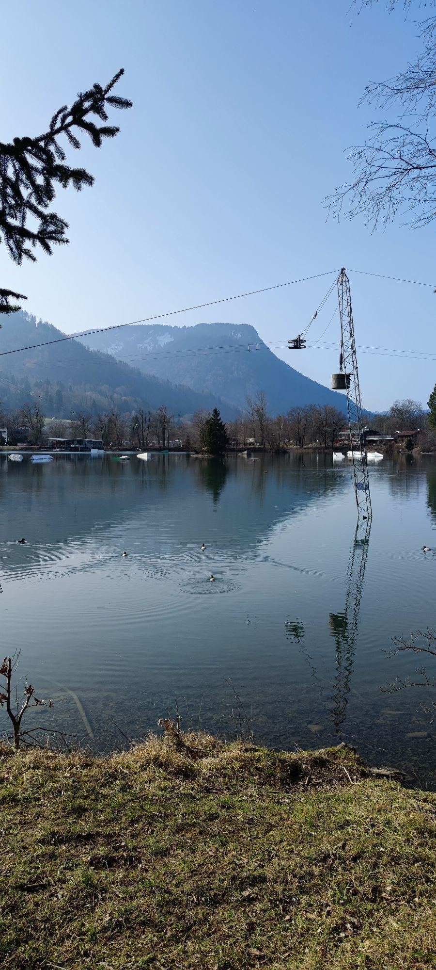
Inselsee Water Ski Lift between Immenstadt and Blaichach
Free e-bike charging stations are available during opening hours at the Nagelfluhkette Nature Park Center in Bühl and at the Oberstdorf Haus in Oberstdorf.
Webové kamery z prehliadky
-
An der Seealpe
-
Nebelhorn
-
Obermaiselstein
-
Fischen im Allgäu
-
Segelclub Alpsee
-
Bergstation Ofterschwang
-
Talstation Ossi-Reichert Bahn
-
Oberstdorf - Söllereck Berg
-
Oberstdorf
-
Oberstdorf
-
Schöllang - Oberstdorf
-
Oberstdorf Tiefenbach
-
Oberstdorf / Rubi - Hotel Viktoria
-
Kornau / Oberstdorf - Ringhotel Nebelhornblick
-
Oberstdorf - Hotel Mohren
-
Mittaggipfel
-
Nebelhorn
-
Nebelhorn
-
Nebelhorn
-
Nebelhorn
-
Nebelhorn
-
Nebelhorn
-
Naturbad Freibergsee
-
Heini-Klopfer-Skiflugschanze
-
Nebelhorn
-
Oberstdorf - Scheibenhaus
-
Nebelhorn
-
Sonthofen - Panzer & Braun Tiefbau
-
Hochleite - Stillachtal
-
Hochleite
-
Oberstdorf/Jägersberg
-
Obermaiselstein
-
Oberstdorf - Söllereck Schrattenwang
-
Petersthal am Rottachsee
-
Petersthal am Rottachsee
-
Obermaiselstein - Hotel Berwanger Hof
-
Bolgengrat - Naturerlebnis Grasgehren
-
Sonthofen
-
Naturbad Freibergsee
-
Naturbad Freibergsee

Obľúbené výlety v okolí
-
4,9
Gerstruben - zum historischen Bergbauerndorf
strednáTuristika 12,8 km -
4,4
Winterwanderung ins Oytal
strednáZimná turistika 10,1 km -
4,6
Mountain tour over the Fellhorn ridge
strednáTuristika 8,24 km -
4,2
2-Länder-Panorama-Rundwanderweg Fellhorn/Kanzelwand
svetloTuristika 6,70 km -
4,8
Iseler und Kühgundkopf
strednáTuristika 7,63 km -
3,9
Klassikertour: Auf den Grünten
ťažkéTuristika 8,50 km -
4,7
Rubihorn
strednáTuristika 9,06 km -
4,7
E5 - 1. Etappe: Oberstdorf - Kemptner Hütte
svetlodiaľková pešia trasa 7,80 km -
4,7
3-Gipfel-Tour
strednáTuristika 11,2 km -
4,8
Rubihorntour
strednáHorská turistika 13,0 km
Turistika a stopovanie


Nenechajte si ujsť ponuky a inšpiráciu na ďalšiu dovolenku
Vaša e-mailová adresa bol pridaný do poštového zoznamu.


