







Jochpassrunde Pfronten - Sonthofen
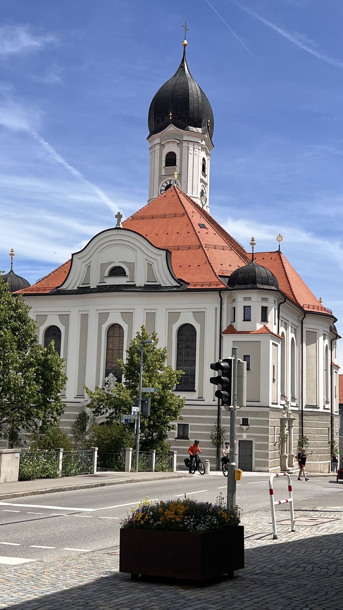
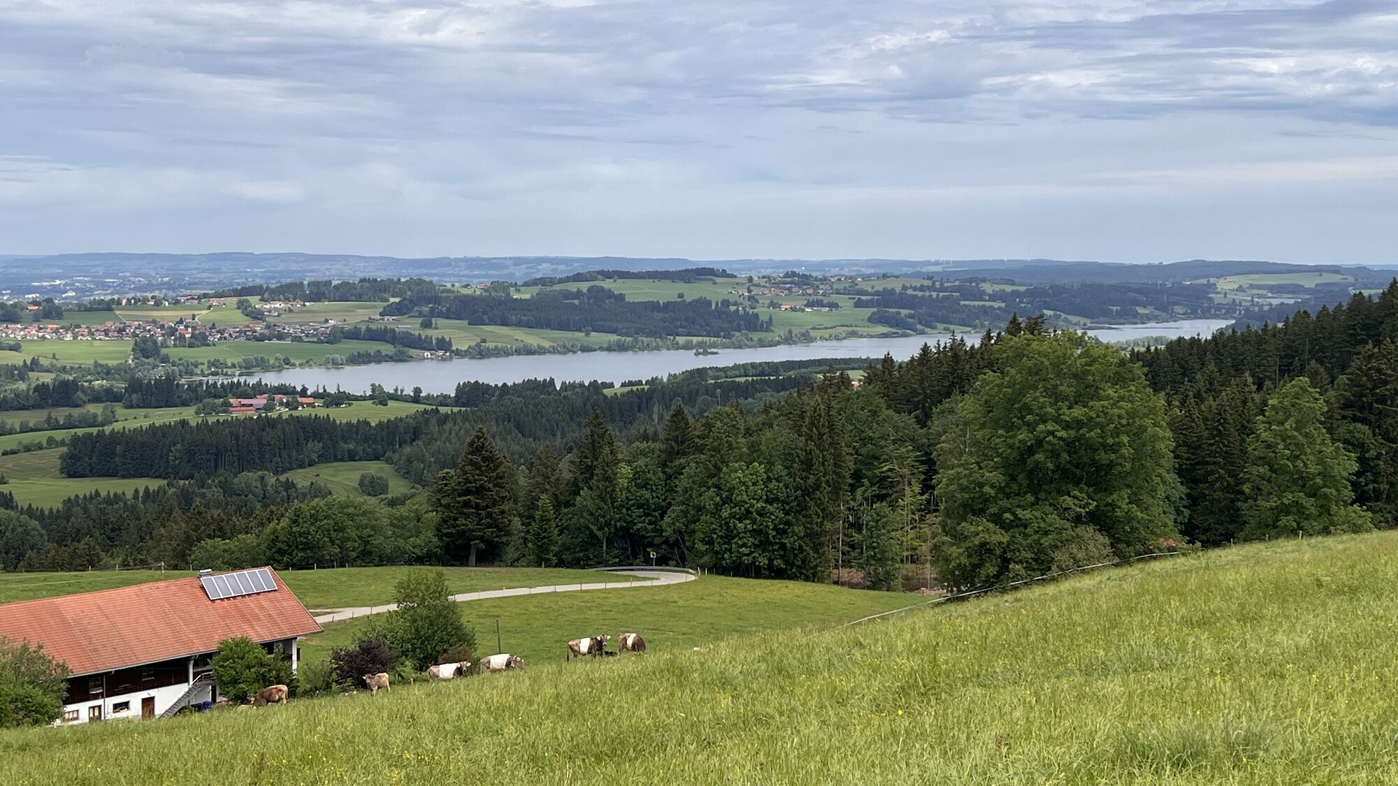


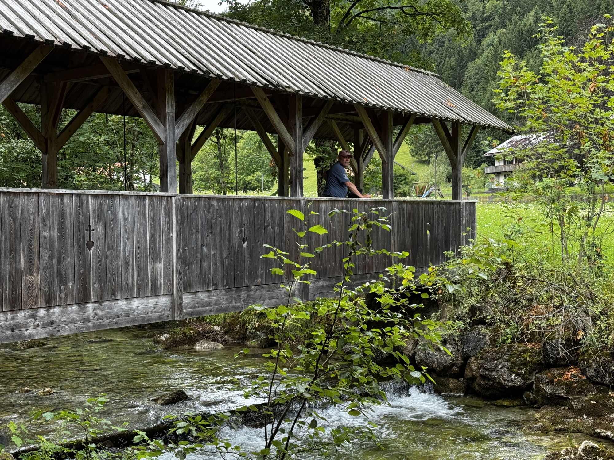
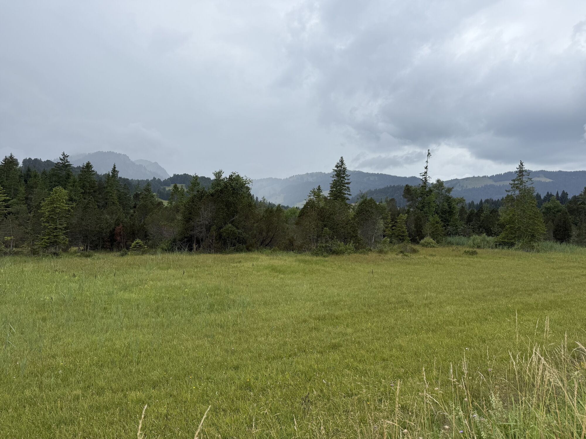
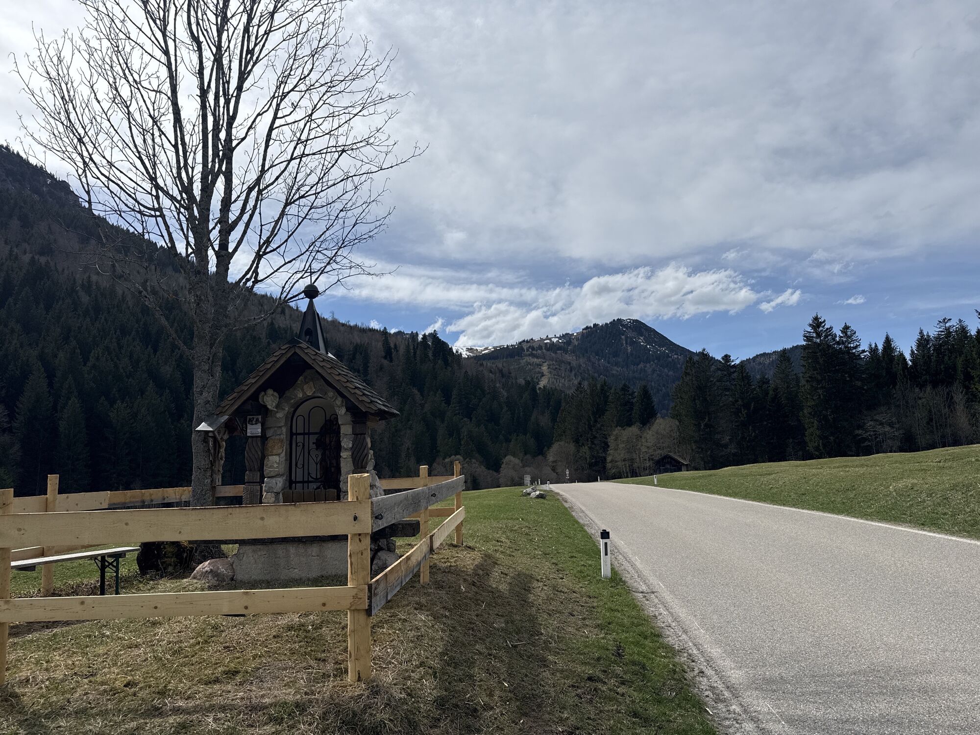
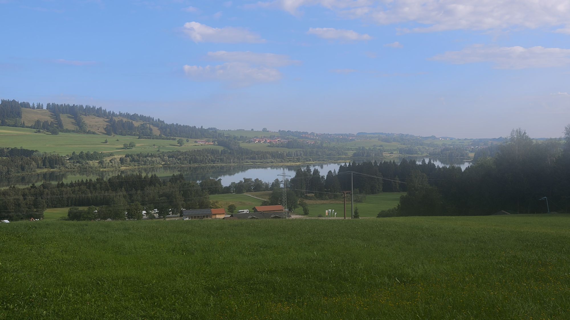
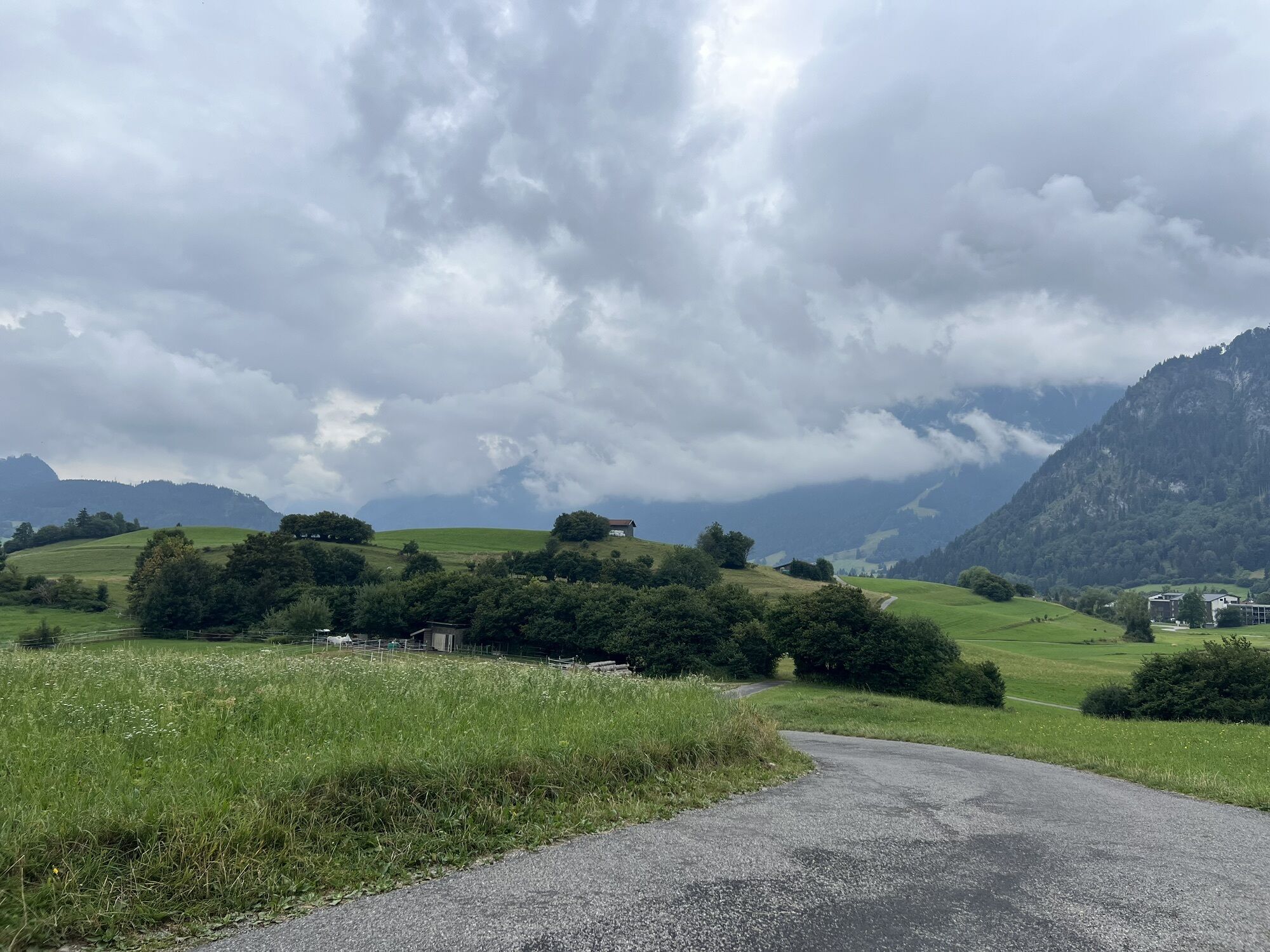
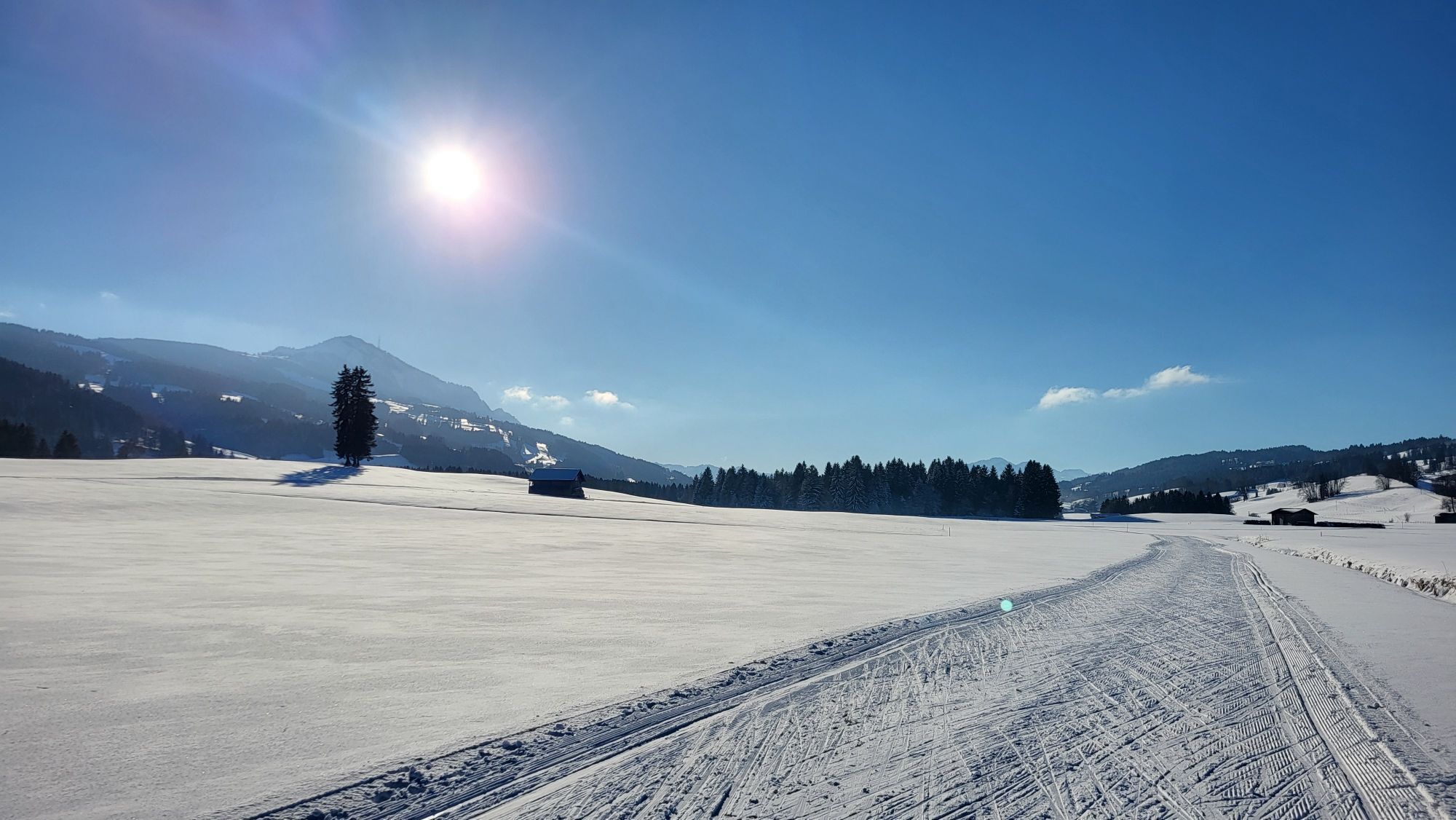
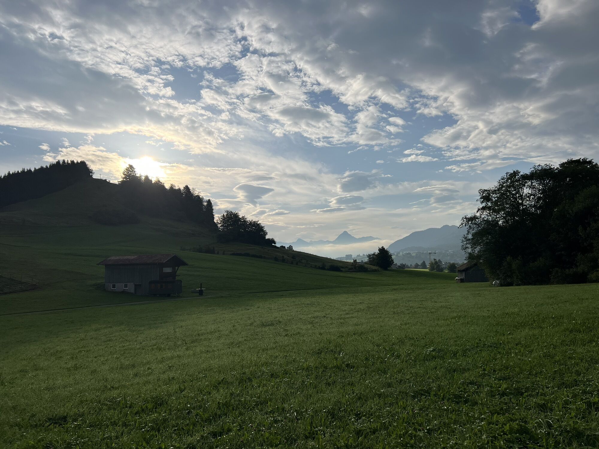

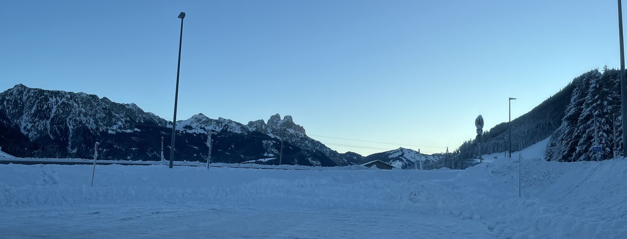


It starts in Pfronten – here you already pedal off towards Grüntensee. The lake sparkles to your left as you roll relaxed through the landscape. Then it continues towards Wertach – it gets a bit hilly...
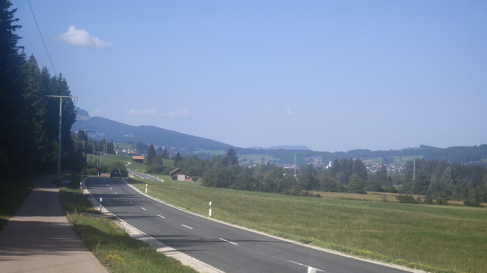
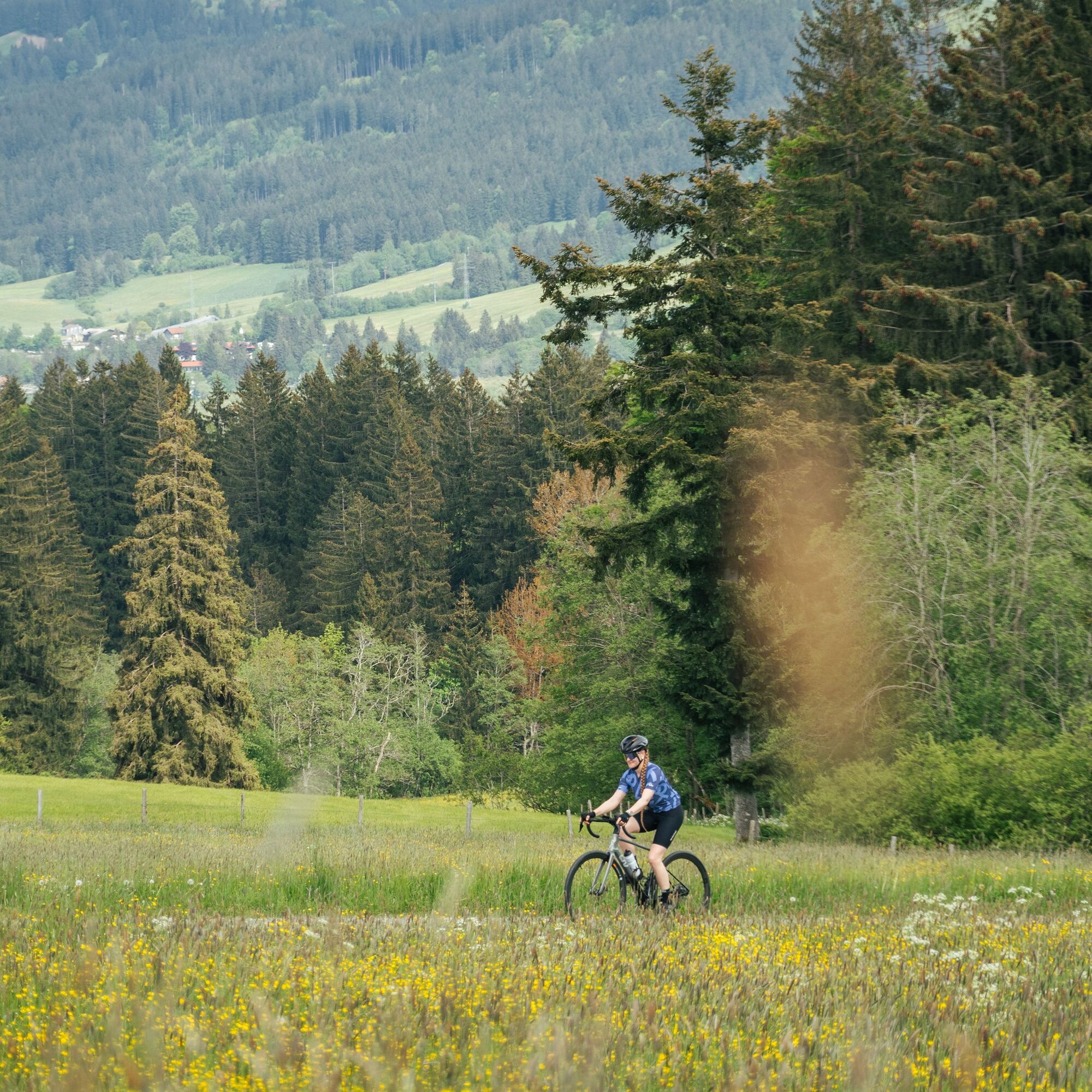
It starts in Pfronten – here you already pedal off towards Grüntensee. The lake sparkles to your left as you roll relaxed through the landscape. Then it continues towards Wertach – it gets a bit hilly here, but never so much that you have to get off the saddle. From there, you head to Rettenberg; the gentle climbs are fun before you drop down into the valley to Sonthofen.
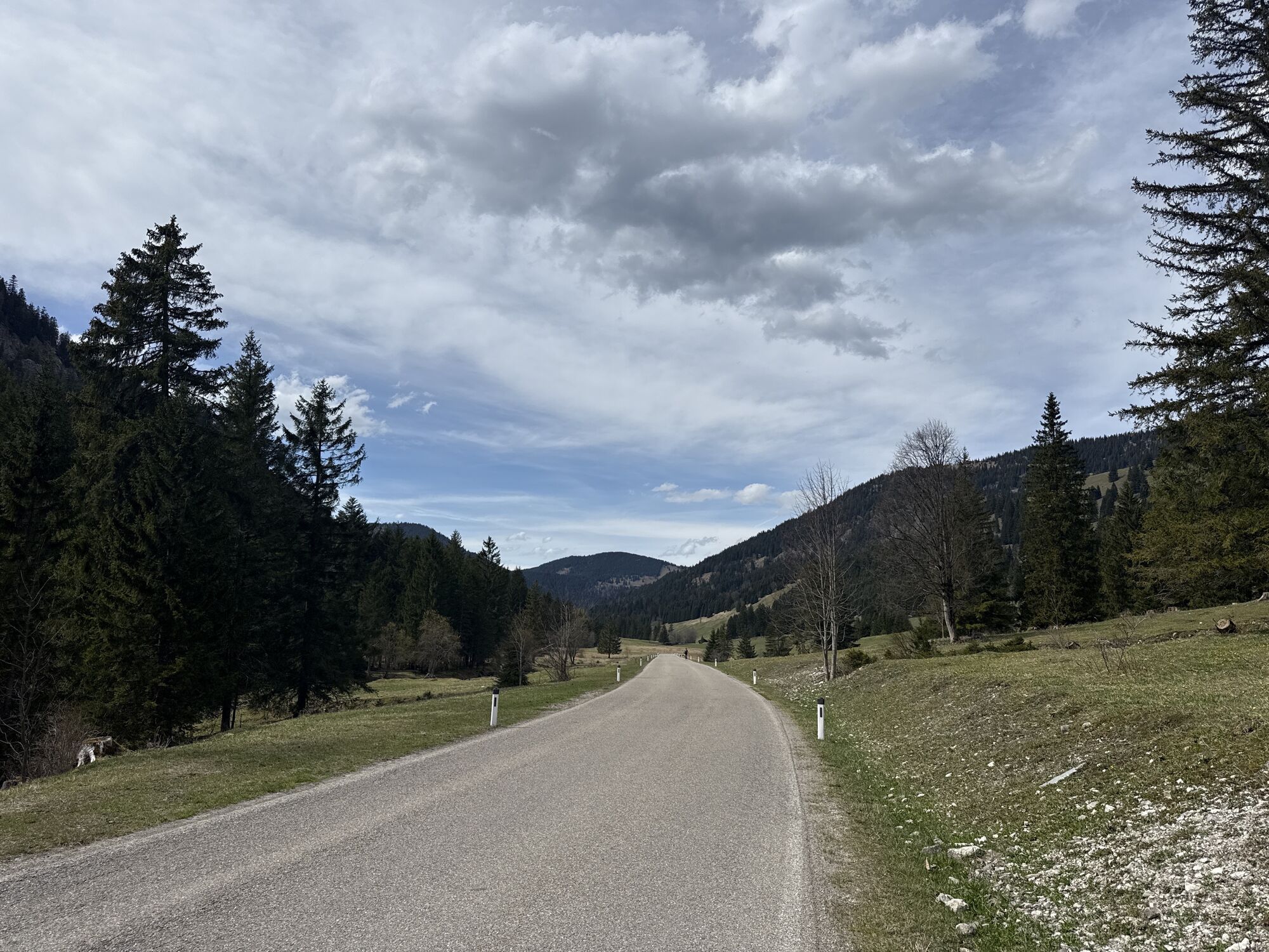
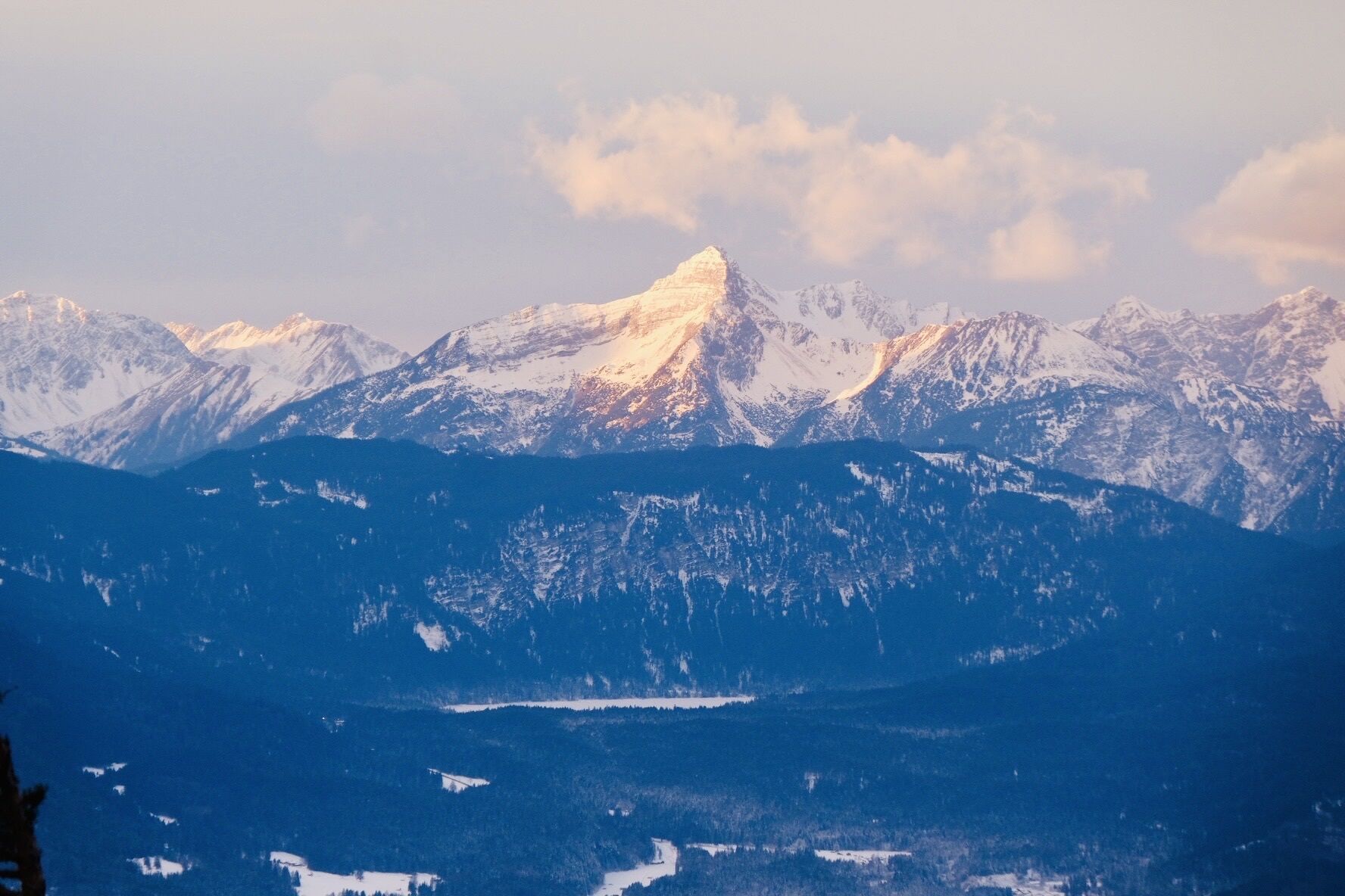
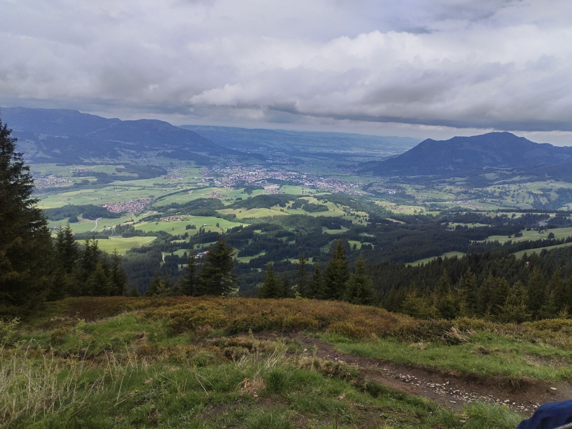
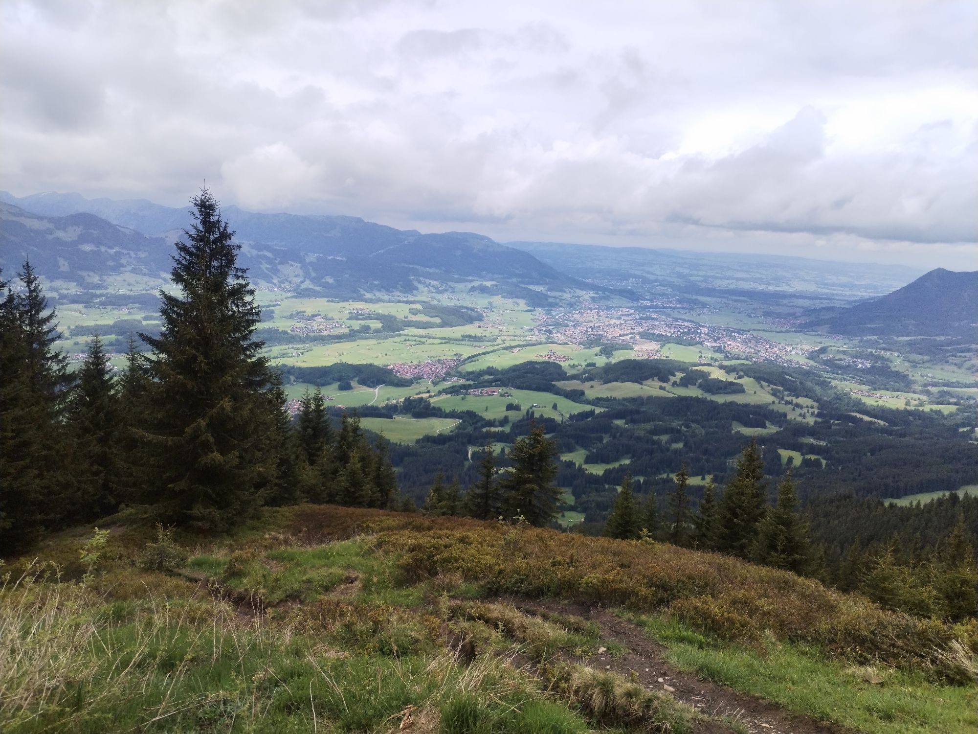
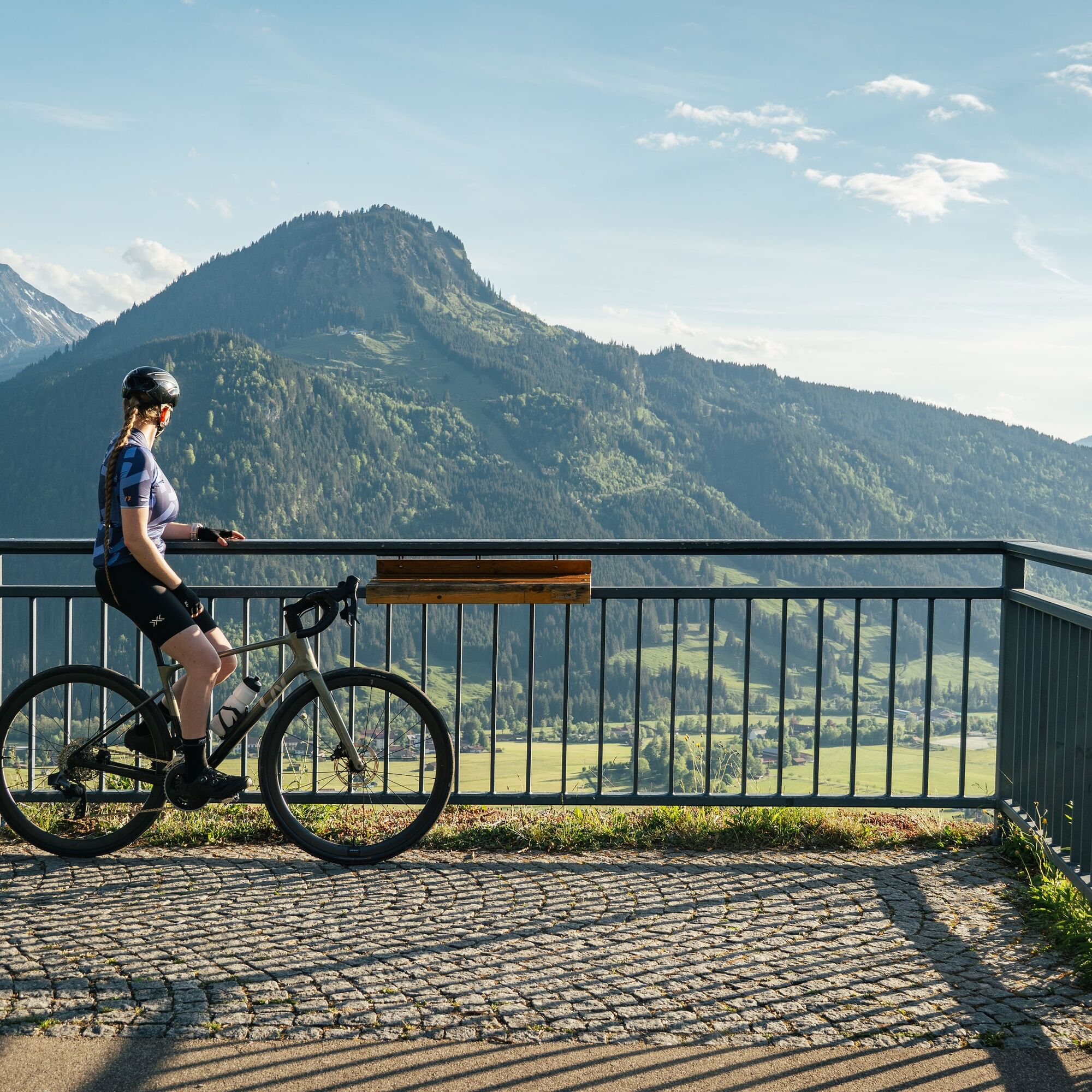
Now comes the highlight: the climb to Oberjochpass. It’s just right – nicely even, easy to ride, and with a great view of the Allgäu Alps. Reached the top? Take a breather, enjoy the panorama!
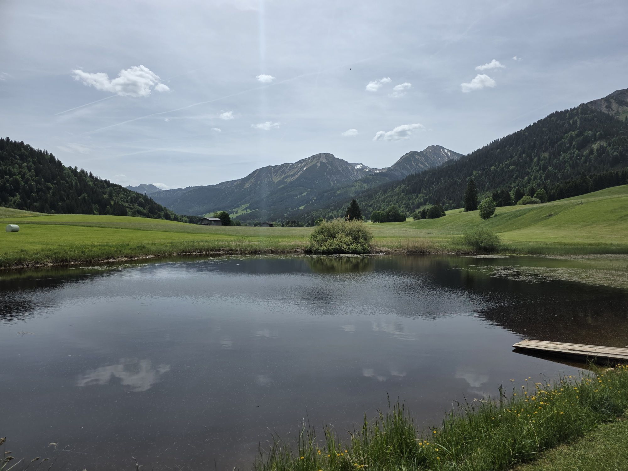
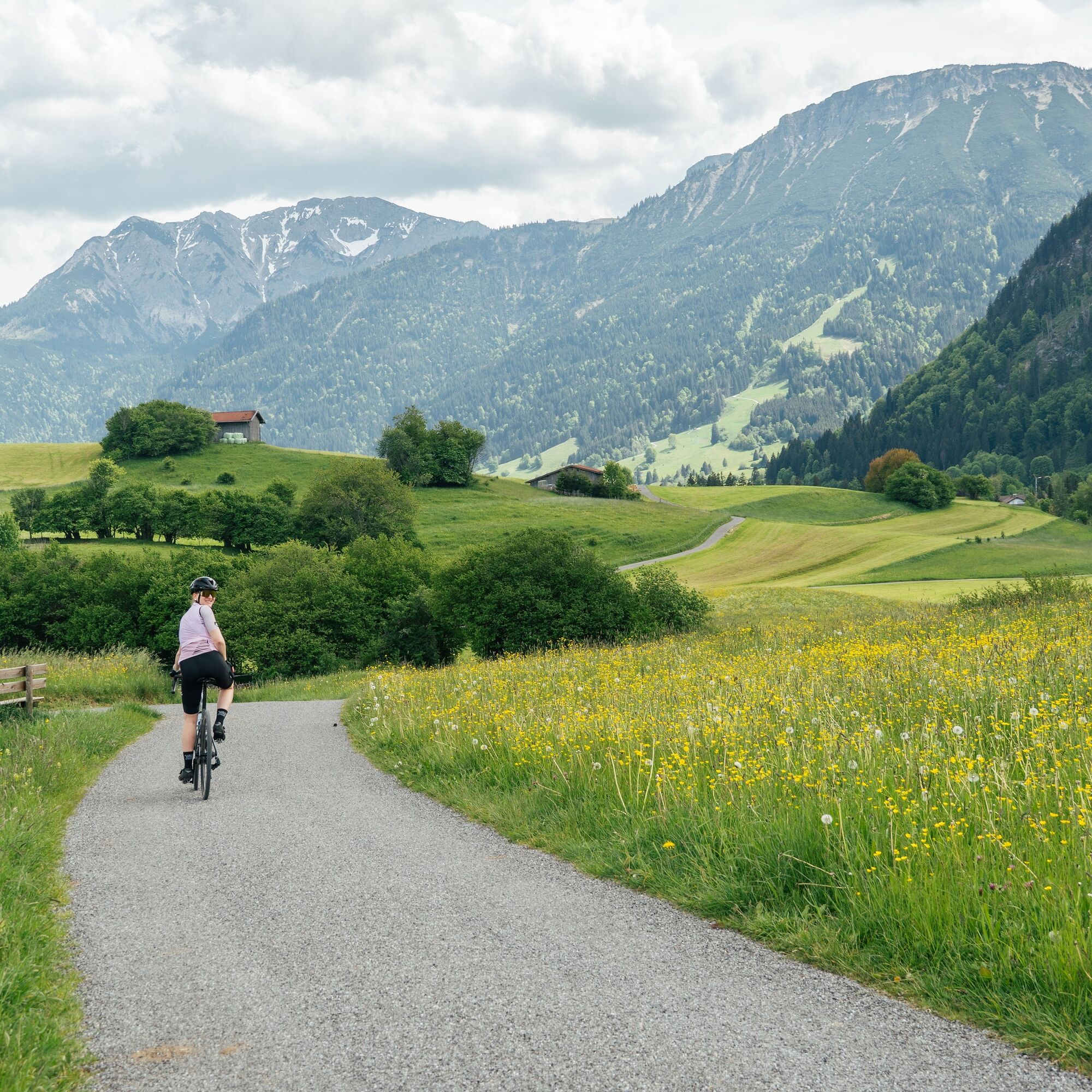
Then it goes downhill into the idyllic Tannheimer Tal. In spring, you roll along blooming meadows towards Grän and enjoy the relaxed descent back to Pfronten.
Tip: Definitely ride the route in this direction – the climb to Oberjoch is simply a pleasure and the descent through the Tannheimer Tal a real bonus!

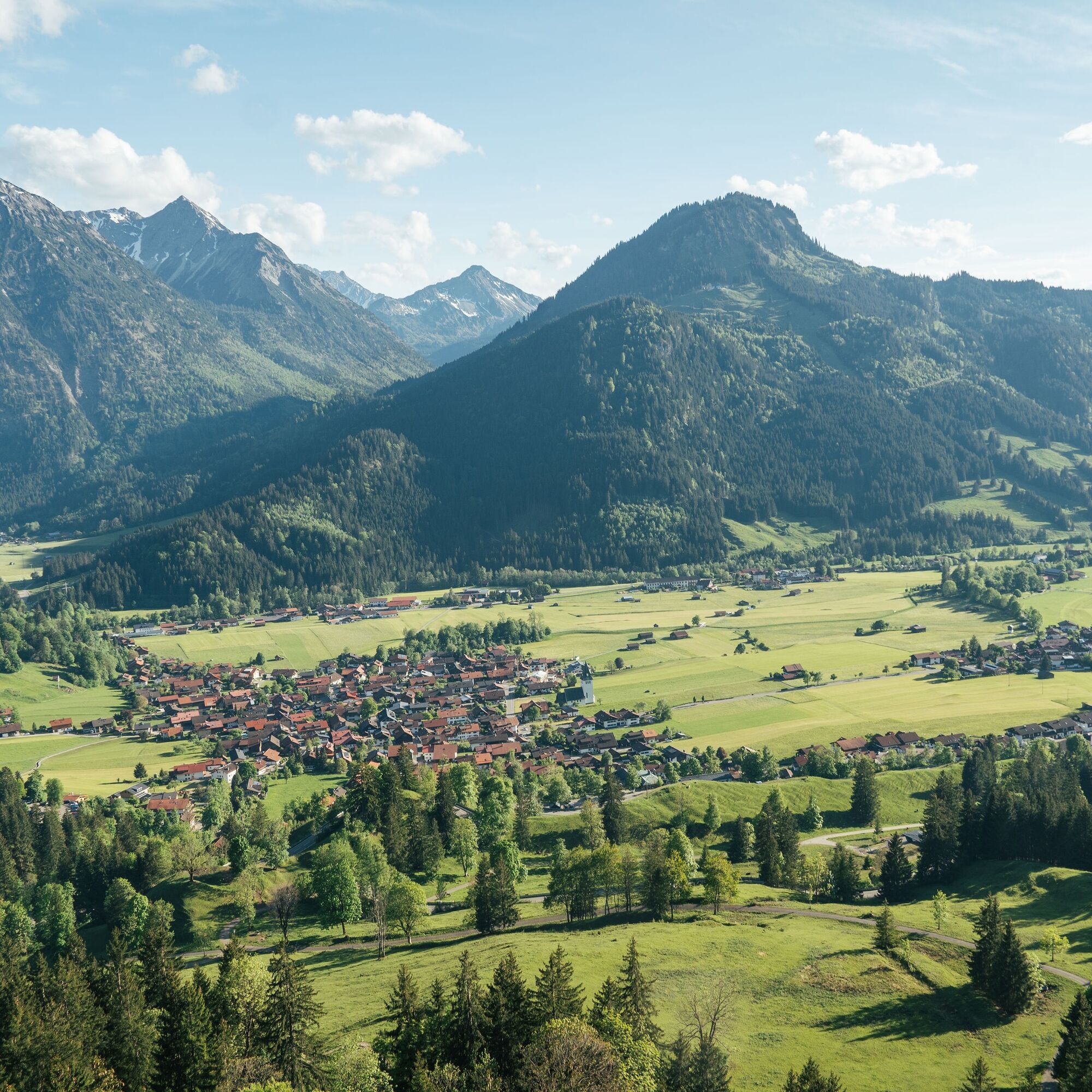
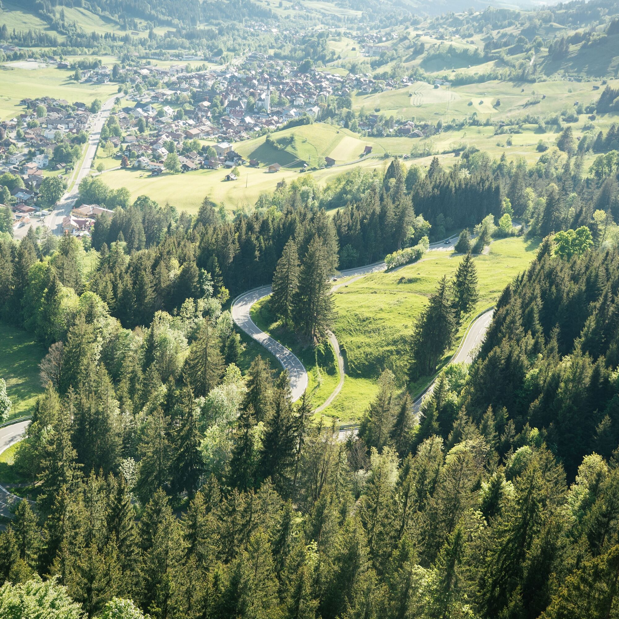

Pfronten - Grüntensee - Wertach - Rettenberg - Sonthofen - Oberjochpass - Tannheimer Tal - Pfronten.
Webové kamery z prehliadky
-
Tannheim
-
Bad Hindelang/Oberjoch
-
Neunerköpfle Mittelstation
-
Haldensee - Neunerköpfle
-
Skizentrum Steinach / Pfronten
-
Pfronten-Halden / Hotel Zugspitzblick
-
Pfronten - Boutique Hotel Blaue Burg Falkenstein
-
Grän - Almdorf Tirol
-
Talstation Ossi-Reichert Bahn
-
Allgäuhaus Wertach
-
Nesselwang - Alpspitzbahn Mittelstation
-
Pfronten - Ostlerhütte
-
Eisenberg - Burgruine
-
Grän - Hotel Bergblick
-
Oberellegg - Wertach
-
Bad Hindelang/Oberjoch
-
Bad Hindelang - Hotel Prinz-Luitpold-Bad
-
Nesselwang - Alpspitzbahn Sportheim Böck
-
Sonthofen - Panzer & Braun Tiefbau
-
Füssener Jöchle Bergstation
-
Obere Halde
-
Füssener Jöchle Bergstation
-
Füssener Jöchle Bergstation
-
Füssener Jöchle Bergstation
-
Füssener Jöchle Bergstation
-
Obere Halde
-
Obere Halde
-
Obere Halde
-
Nesselwang - Alpspitzbahn Talstation
-
Oberjoch, Iselerbahn
-
Petersthal am Rottachsee
-
Petersthal am Rottachsee
-
Tannheimertal
-
Füssen Appartementhotel Seespitz
-
Breitenbergbahn - Pfronten
-
Pfronten - Skizentrum
-
Sonthofen
-
Grünten
-
Ofterschwang - Allgäuer Berghof
-
Füssener Jöchle Bergstation
Získajte prehľad
Vždy naživo na mieste s viac ako 9 500 webovými kamerami. bergfex Ako používateľ Pro si teraz môžete pozrieť príslušné webové kamery pre mnohé zájazdy v aplikácii zájazdy z. Môžete si tak priamo prezerať aktuálne podmienky.
Obľúbené výlety v okolí
-
4,6
Winterwanderung ins Oytal
strednáZimná turistika 10,1 km -
3,9
Klassikertour: Auf den Grünten
ťažkéTuristika 8,50 km -
4,8
Iseler und Kühgundkopf
strednáTuristika 7,63 km -
4,8
Unterer Gaisalpsee
strednáVysoké turné 8,64 km -
4,7
Rubihorn
strednáTuristika 9,06 km -
4,7
3-Gipfel-Tour
strednáTuristika 11,2 km -
4,6
3-Seen Rundtour Vilsalpsee / Schrecksee / Traualpsee
strednáTuristika 17,1 km -
4,8
Rubihorntour
strednáHorská turistika 13,0 km -
4,1
Winter circular hike through the Breitachklamm gorge
strednáZimná turistika 5,66 km -
4,6
Entschenkopf
ťažkéTuristika 12,3 km
Turistika a stopovanie


Nenechajte si ujsť ponuky a inšpiráciu na ďalšiu dovolenku
Vaša e-mailová adresa bol pridaný do poštového zoznamu.





