







Muttener and Kalzhofer Höhe

Úroveň náročnosti: WT2
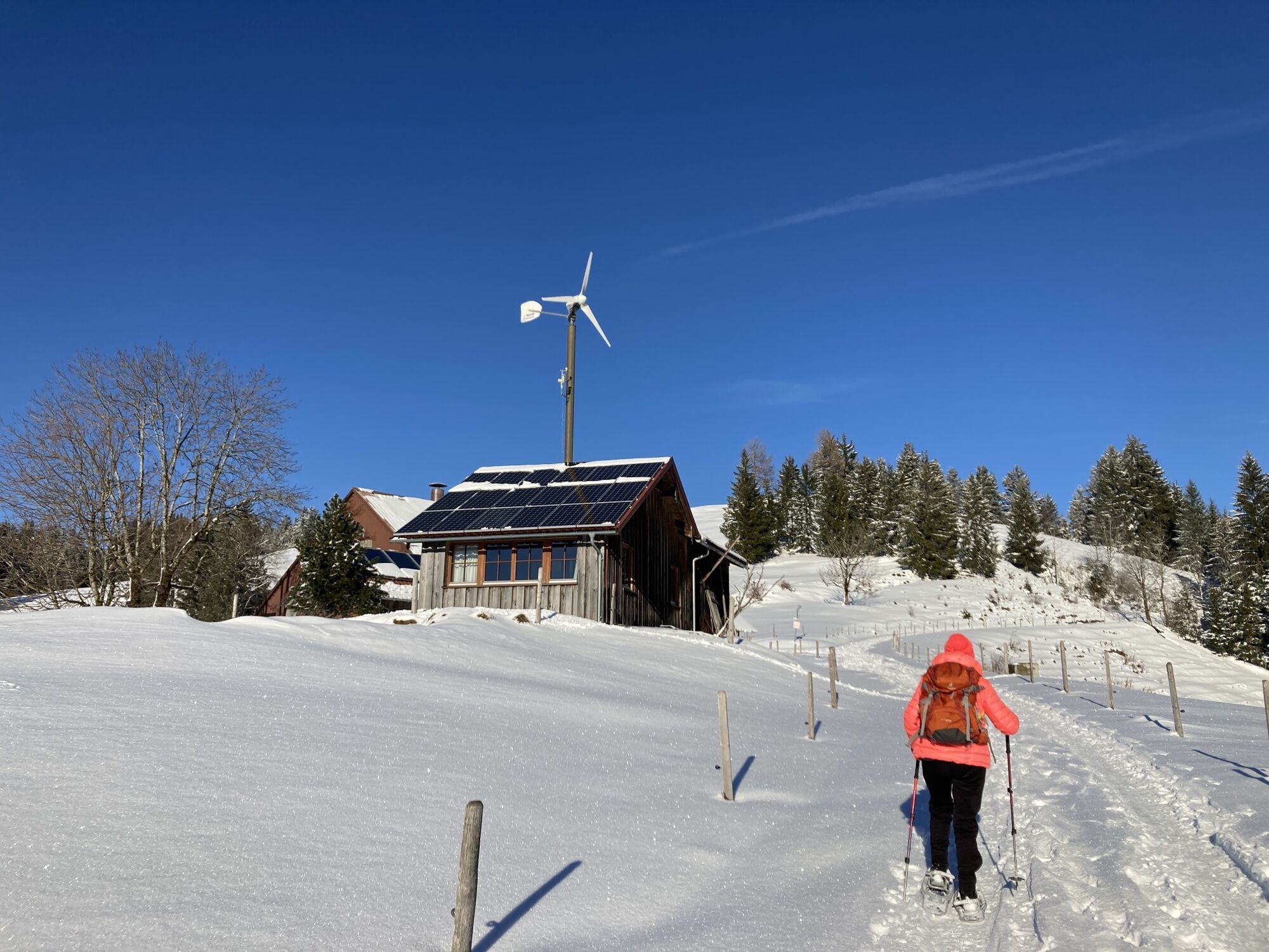
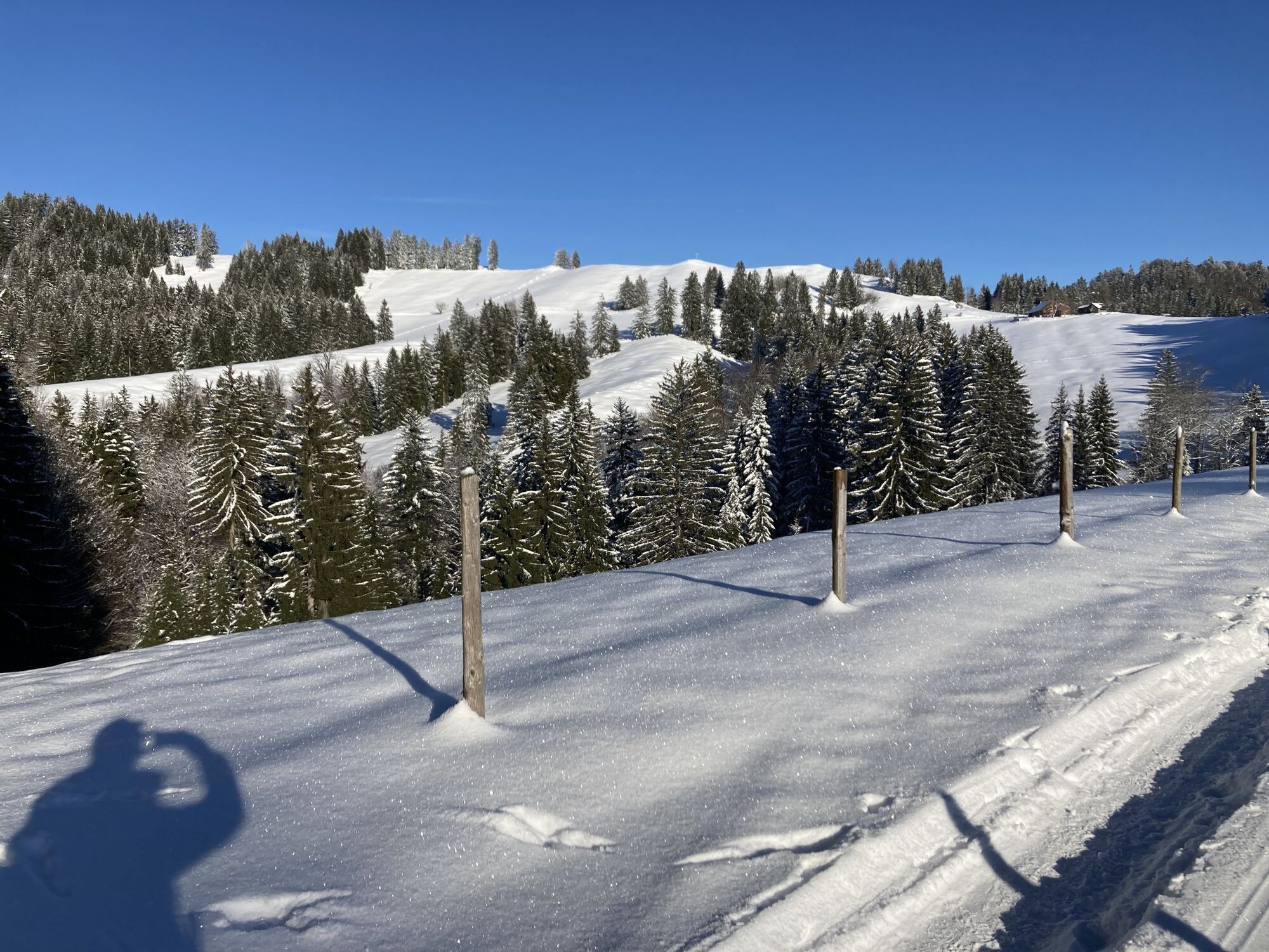
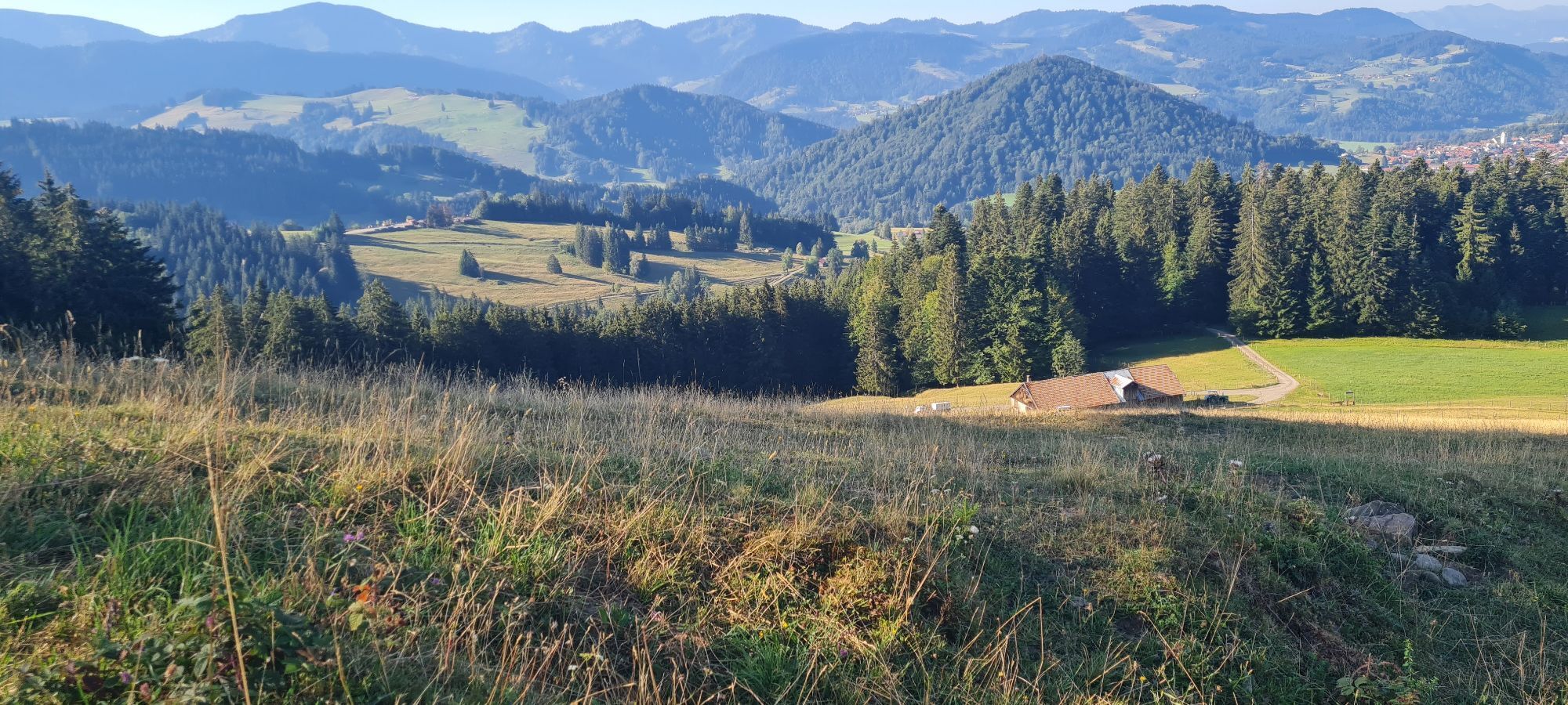
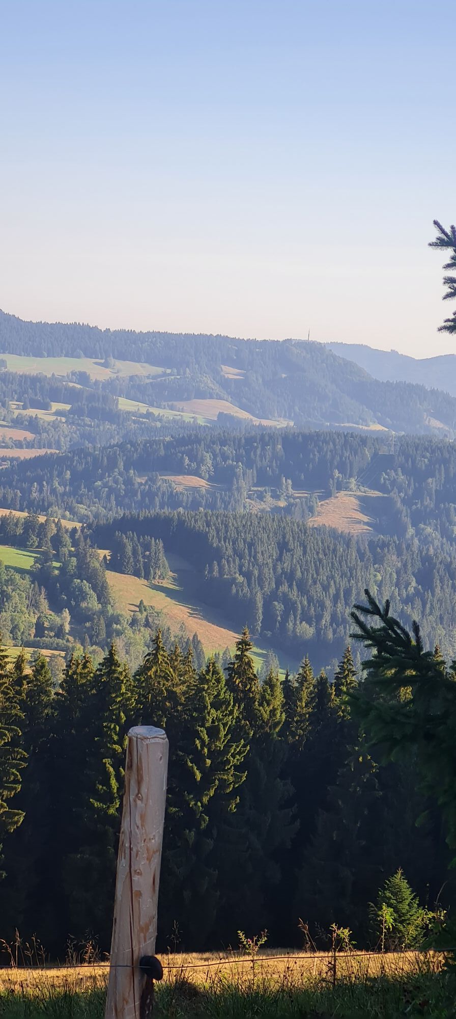
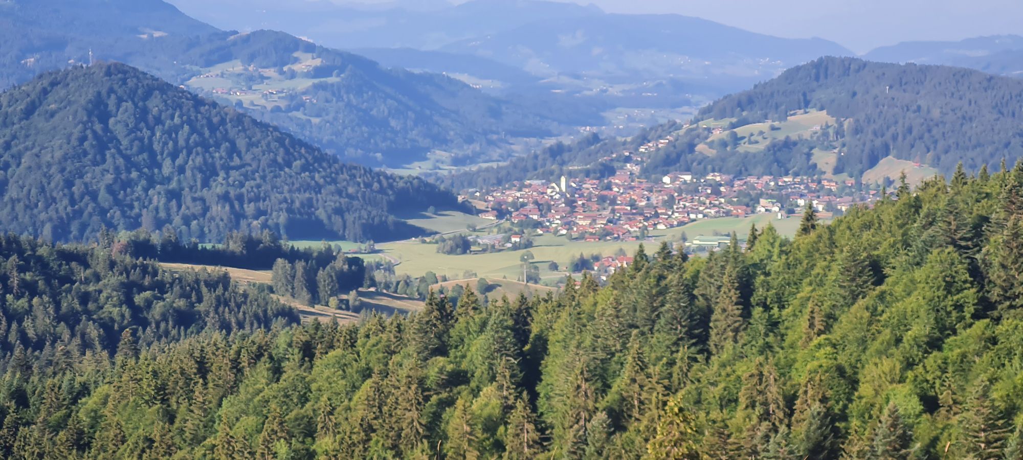
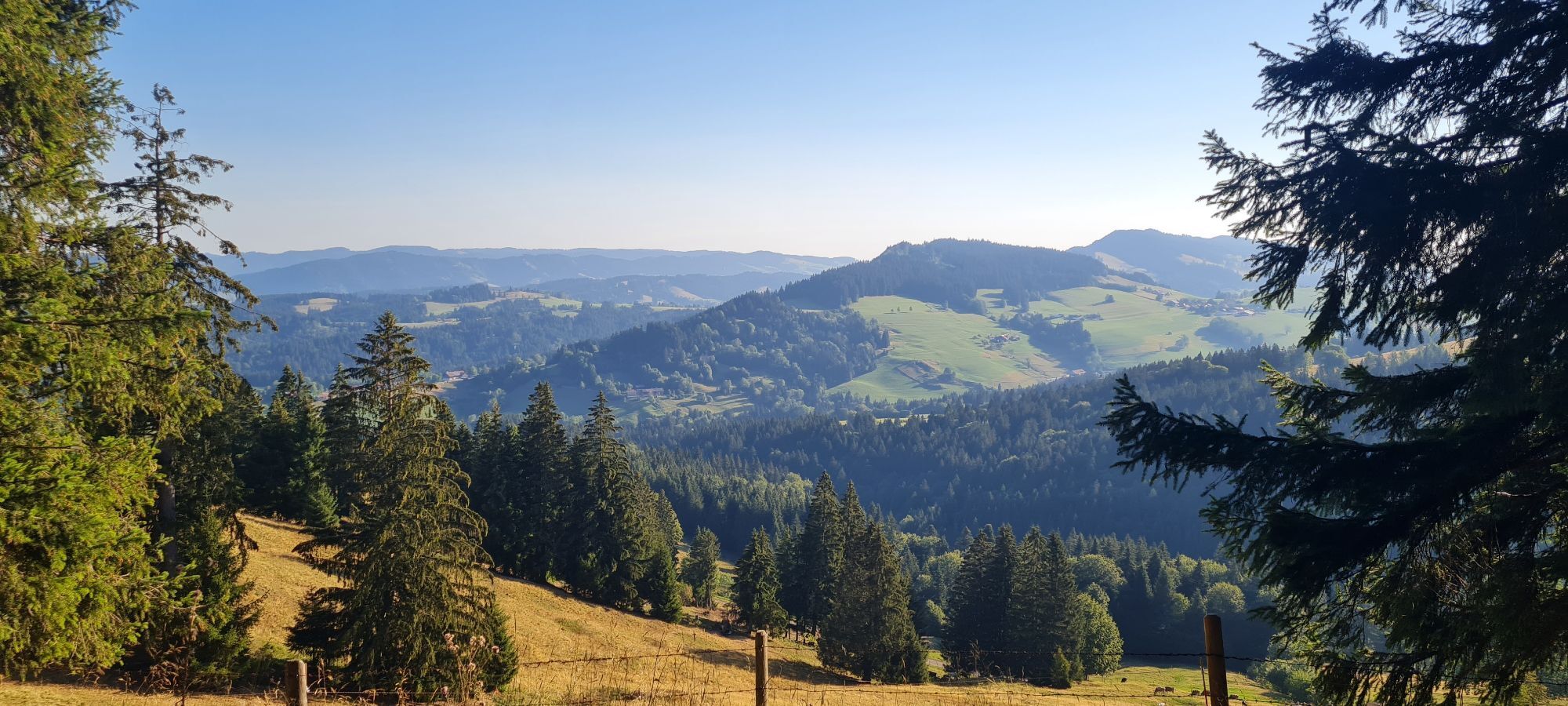
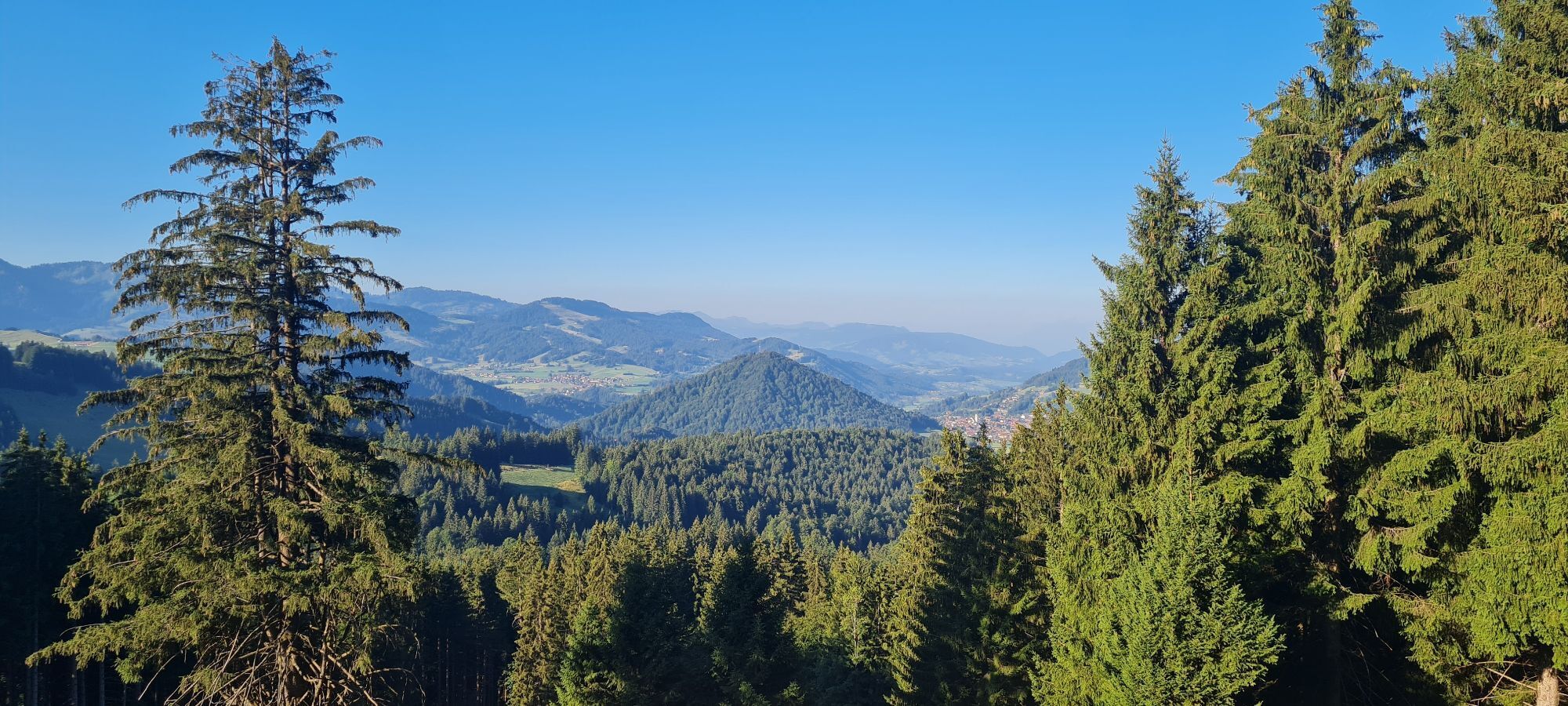
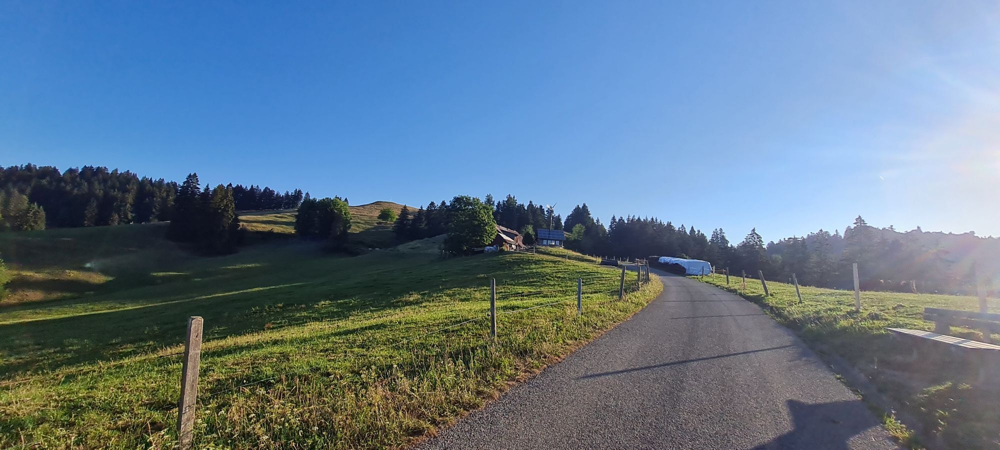
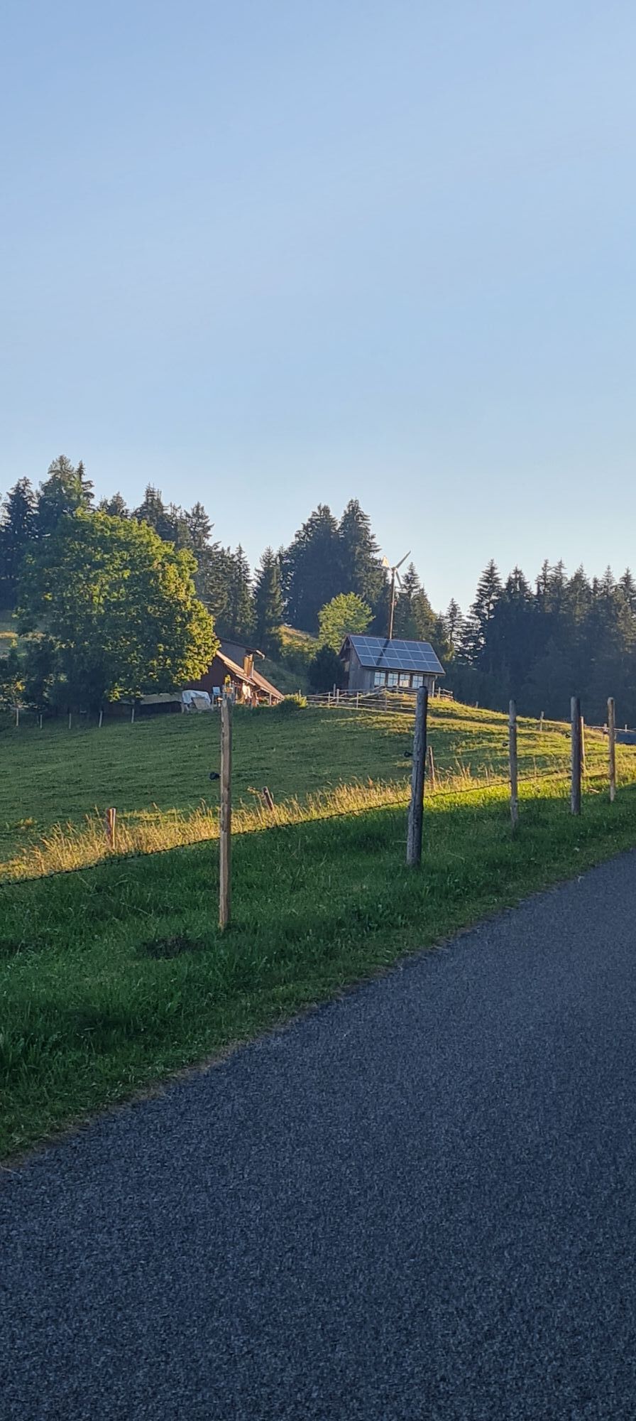
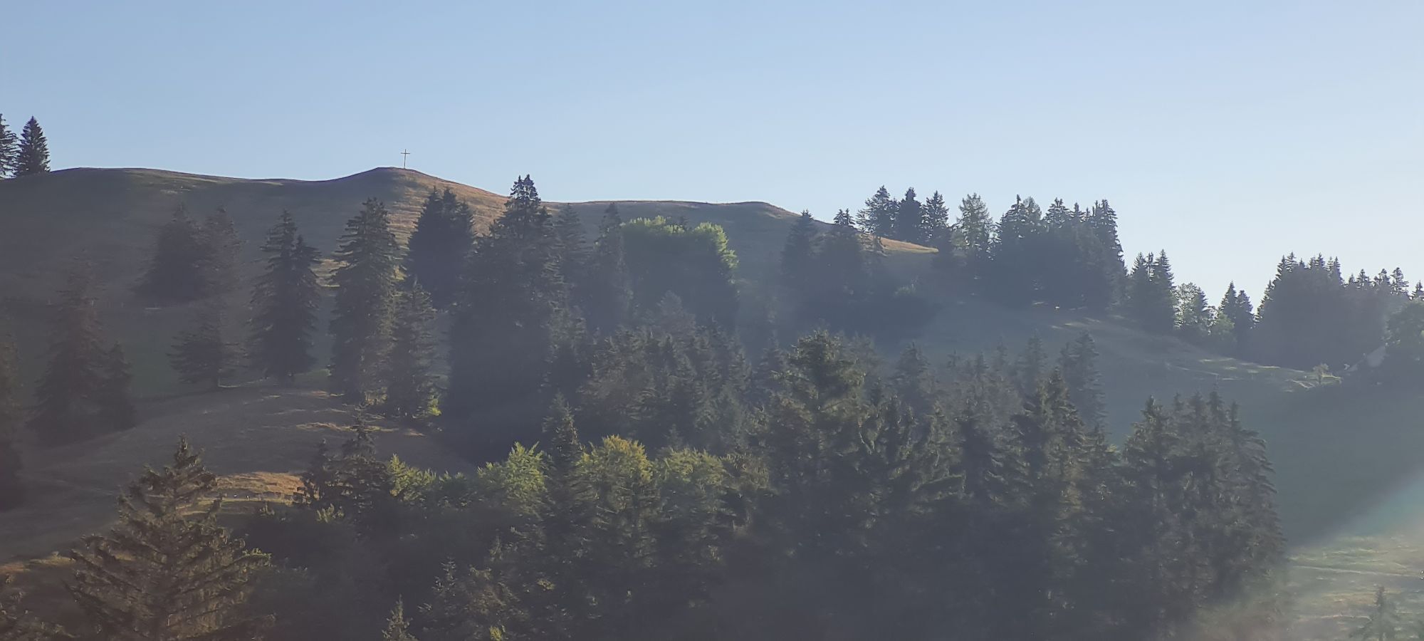
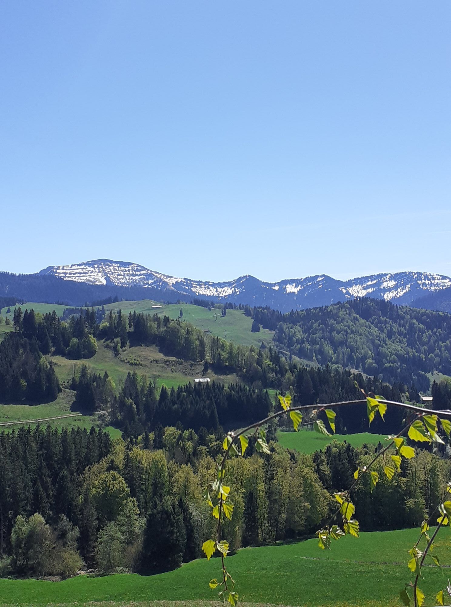
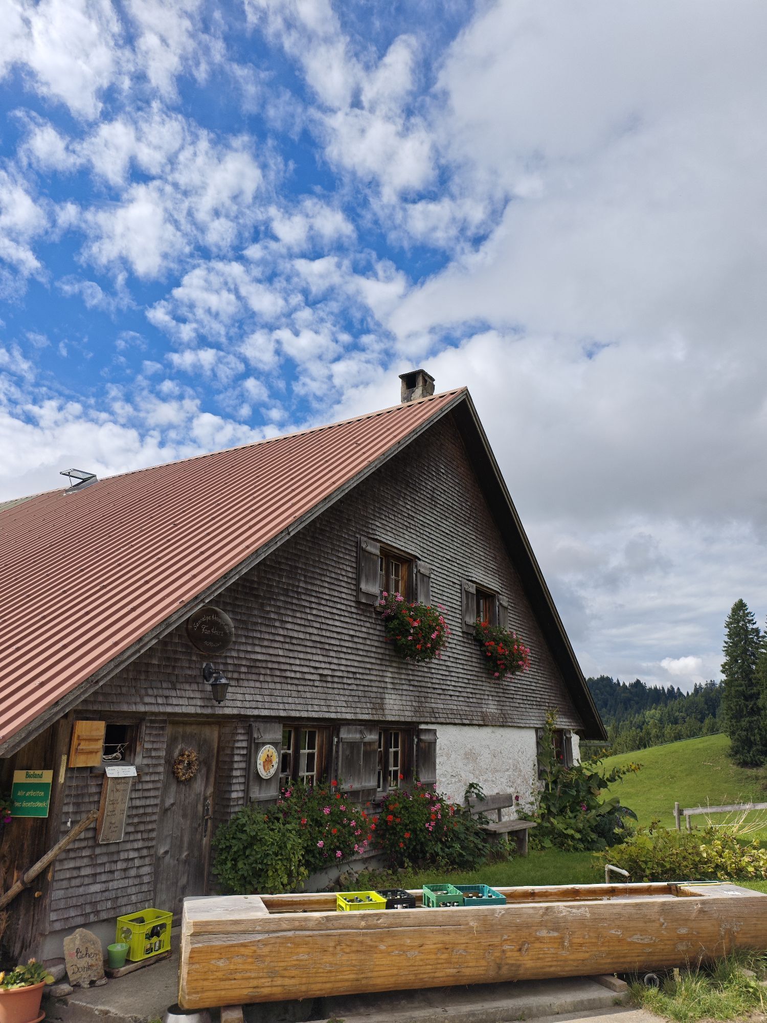
We start with snowshoes at the end of Kalzhofen and follow the Alpweg uphill to the right towards Obere Gsang Alpe. Before the alp, left up the steep slope to the ridge. The route initially leads eastwards...
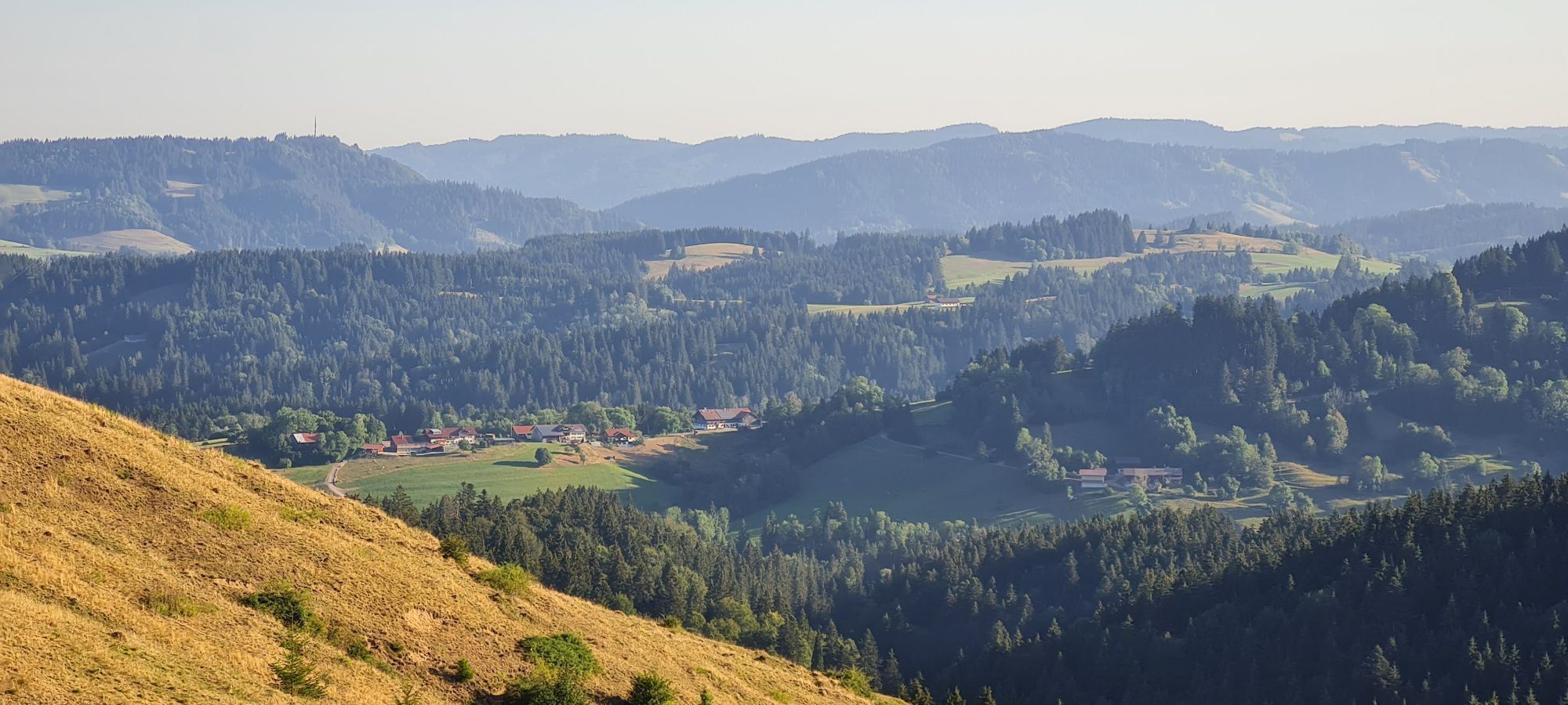
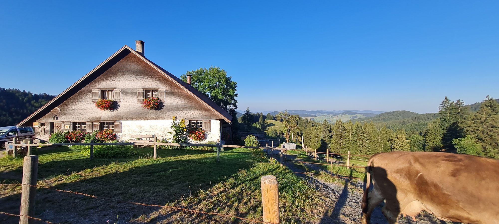
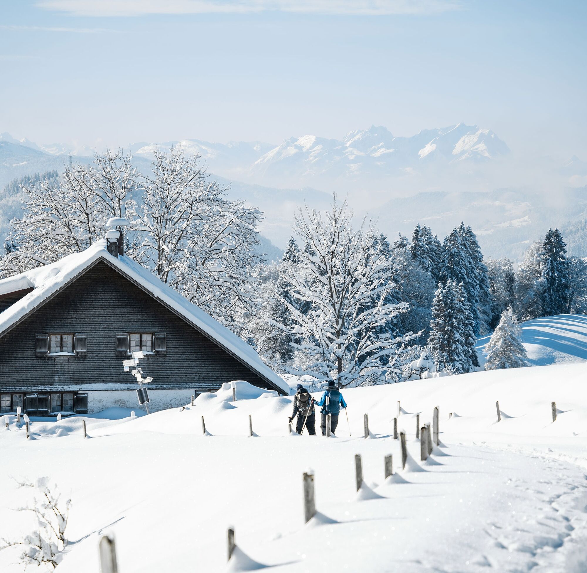
We start with snowshoes at the end of Kalzhofen and follow the Alpweg uphill to the right towards Obere Gsang Alpe. Before the alp, left up the steep slope to the ridge. The route initially leads eastwards along the forest edge over Muttener Höhe and Kalzhofer Höhe to the pass height of the Hompessen Alpweg. Along the route, we enjoy great views in all directions. Then we follow the Alpweg downhill into the valley. After crossing the stream, turn immediately right and slightly uphill past Hotel Landhaus Hauber back to our starting point. Or after crossing the stream, immediately left back to the parking lot at the school.

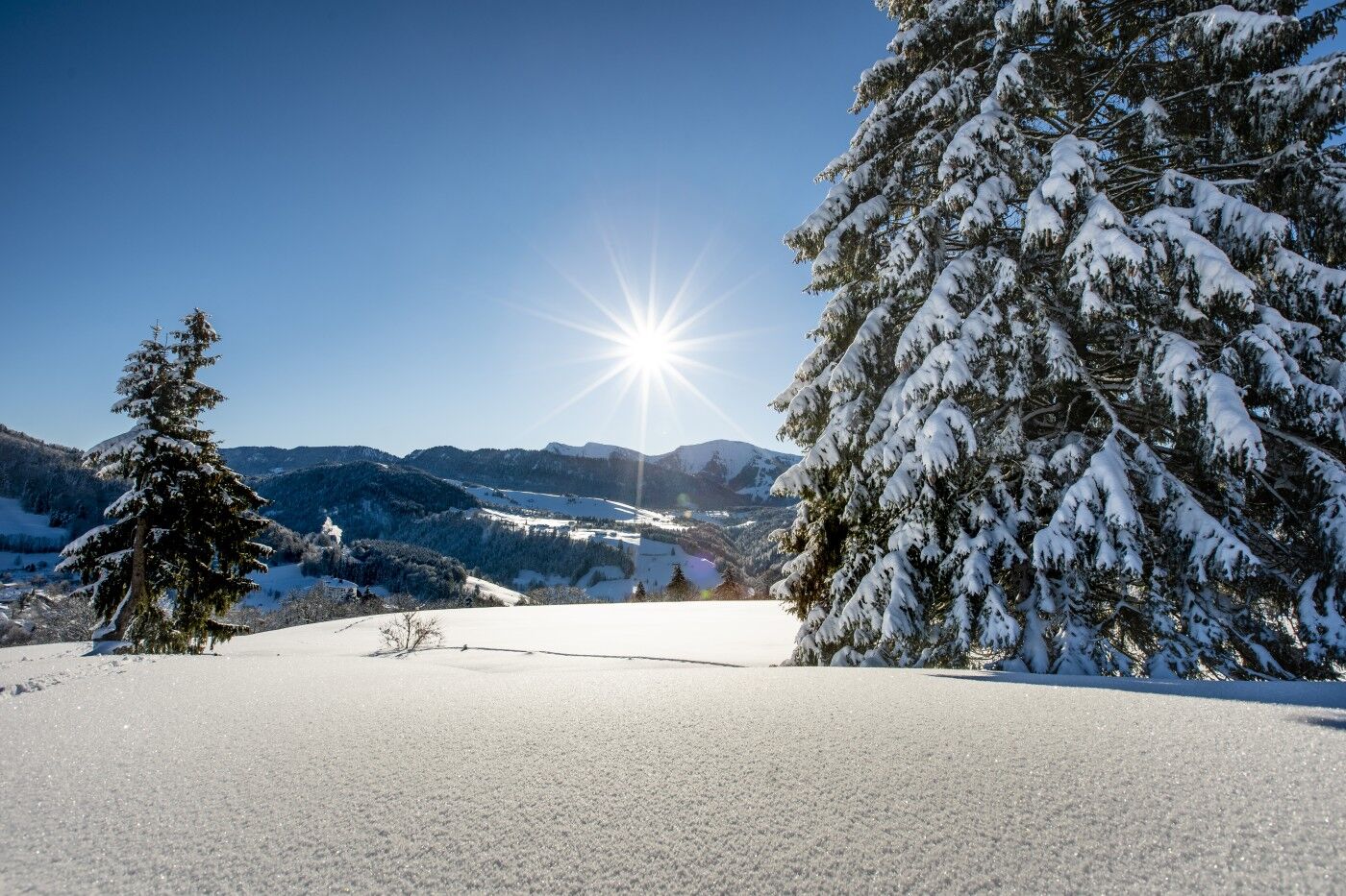

Adapt your equipment to the winter conditions and the specific tour destination. Away from secured hiking trails, an avalanche transceiver, probe, and shovel as well as their safe handling are standard. Also, a first aid kit, bivy sack, and mobile phone (European emergency number 112). Map, app, and GPS support orientation.
Inform yourself thoroughly about the avalanche risk before the tour! What is the danger level, where are the danger spots, what are the current avalanche problems? Avoid tours at danger levels 4 and 5.
From Immenstadt towards Isny to Kalzhofen and the secondary school/sports hall. From Oberstaufen on Kalzhofer Straße. From Isny via Buflings to Kalzhofen.
Parking spaces at the school/sports hall Kalzhofen.
WT2
Good to know:
This route tip is not specifically signposted.

Webové kamery z prehliadky



Obľúbené výlety v okolí
-
4,6
Steibis - Buchenegger Waterfalls
strednáTuristika 6,47 km -
4,5
Hittisau | Wasserwanderweg
svetloTematická trasa 7 km -
4,7
Rindalphorn und Hochgrat
strednáTuristika 15,6 km -
5,0
Nagelfluh ridge route Hochgrat - Mittag
ťažkéTuristika 14,0 km -
4,9
Immenstädter Horn
svetloTuristika 9,35 km -
4,5
Hittisau | Rundwanderung von Hittisau zum Hochhäderich
strednáTuristika 9,22 km -
4,5
Immenstädter Horn - Gschwender Horn
svetloTuristika 10 km -
4,3
Circular route Hündle to the Buchenegger Waterfalls
strednáTuristika 9,69 km -
4,8
Grosser-Alpsee-Rundweg-11-km
svetloTuristika 10,9 km -
3,7
Rundtour Mittag
svetloTuristika 15,7 km

Turistika a stopovanie


Nenechajte si ujsť ponuky a inšpiráciu na ďalšiu dovolenku
Vaša e-mailová adresa bol pridaný do poštového zoznamu.





