







Hündle mountain station - Buchenegg - Weißach - Hündle valley station
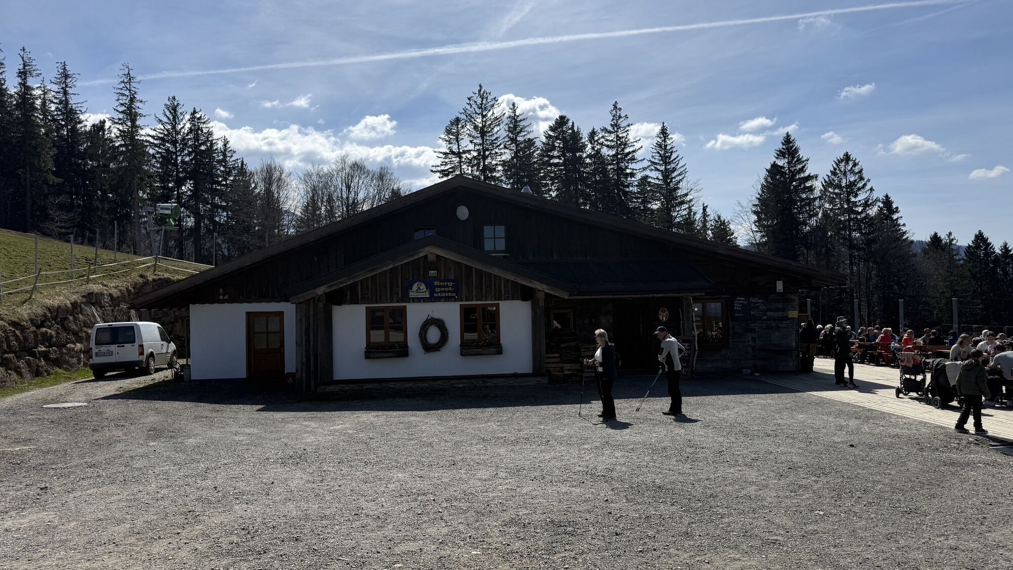
We use the Hündlebahn as an ascent aid. From there, our path leads with a clear view of Steibis directly downhill towards Buchenegg. We cross the road and trudge through the snowy meadow to Ifen. With...
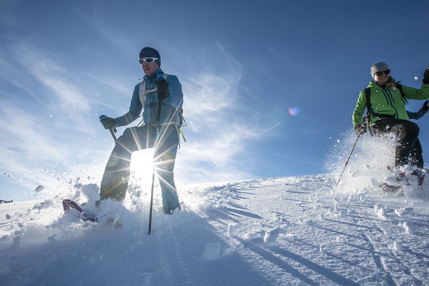
We use the Hündlebahn as an ascent aid. From there, our path leads with a clear view of Steibis directly downhill towards Buchenegg. We cross the road and trudge through the snowy meadow to Ifen. With very deep snow, alternatively along the road. Shortly before the last property at the lower end of the hamlet, we follow the hiking trail signs to Weißach. This initially leads along the forest edge downhill, then turn right past a single property. From there, continue downhill until you reach a fish pond in the valley floor. There, we follow the groomed winter hiking trail on the right. It goes eastwards through the forest, past Bad Rain, and further to the valley station of the Hündlebahn.


Áno
Adapt your equipment to the winter conditions and the specific route target. Outside of secured hiking trails, an avalanche transceiver, probe, and shovel as well as their safe handling are standard. Also, a first aid kit, bivouac sack, and mobile phone (European emergency number 112). Map and app and GPS support orientation.
Inform yourself thoroughly about avalanche danger before the route! What is the danger level, where are the danger spots, what are the current avalanche problems? Avoid routes at danger levels 4 and 5.
Coming from Oberstaufen towards Immenstadt to the Hündlebahn. Coming from Immenstadt at the end of the Konstanz valley.
Parking at the Hündlebahn valley station
Good to know:
The route tip is not signposted. The description serves as orientation.
Získajte prehľad
Vždy naživo na mieste s viac ako 9 500 webovými kamerami. bergfex Ako používateľ Pro si teraz môžete pozrieť príslušné webové kamery pre mnohé zájazdy v aplikácii zájazdy z. Môžete si tak priamo prezerať aktuálne podmienky.
Obľúbené výlety v okolí
-
4,5
Steibis - Buchenegger Waterfalls
strednáTuristika 6,47 km -
4,6
Hittisau | Wasserwanderweg
svetloTematická trasa 7 km -
4,7
Rindalphorn und Hochgrat
strednáTuristika 15,6 km -
5,0
Nagelfluh ridge route Hochgrat - Mittag
ťažkéTuristika 14,0 km -
4,9
Immenstädter Horn
svetloTuristika 9,35 km -
4,4
Immenstädter Horn - Gschwender Horn
svetloTuristika 10 km -
5,0
Siedelalpe Runde von See - Immenstadt
svetloTuristika 10,3 km -
3,5
Rundtour Mittag
svetloTuristika 15,7 km -
4,5
Circular route Hündle to the Buchenegger Waterfalls
strednáTuristika 9,69 km -
4,4
Circular route Steibis to Dreiländerblick
strednáTuristika 7,95 km
Turistika a stopovanie


Nenechajte si ujsť ponuky a inšpiráciu na ďalšiu dovolenku
Vaša e-mailová adresa bol pridaný do poštového zoznamu.





