







Ski route - Scheinbergspitz
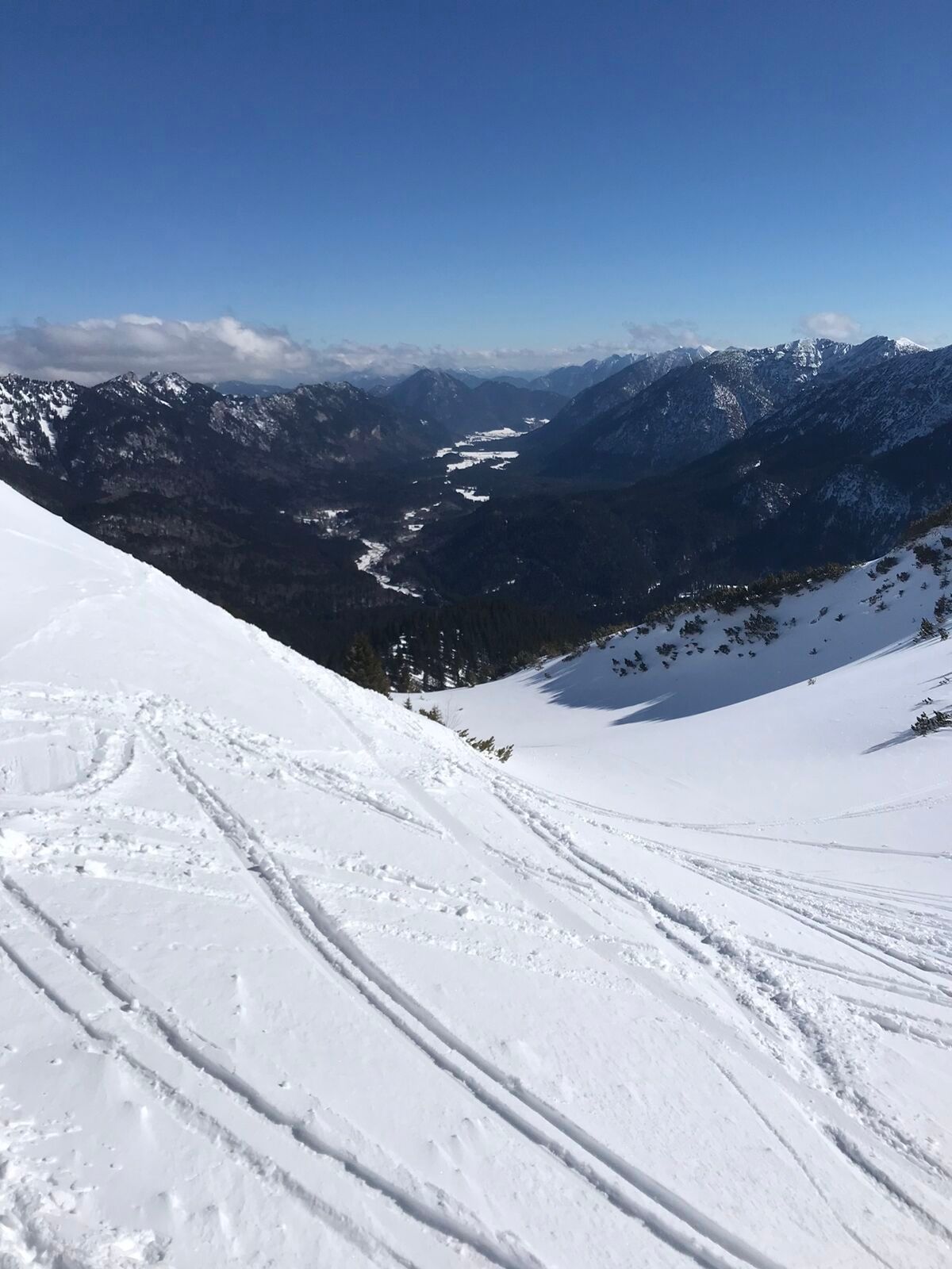
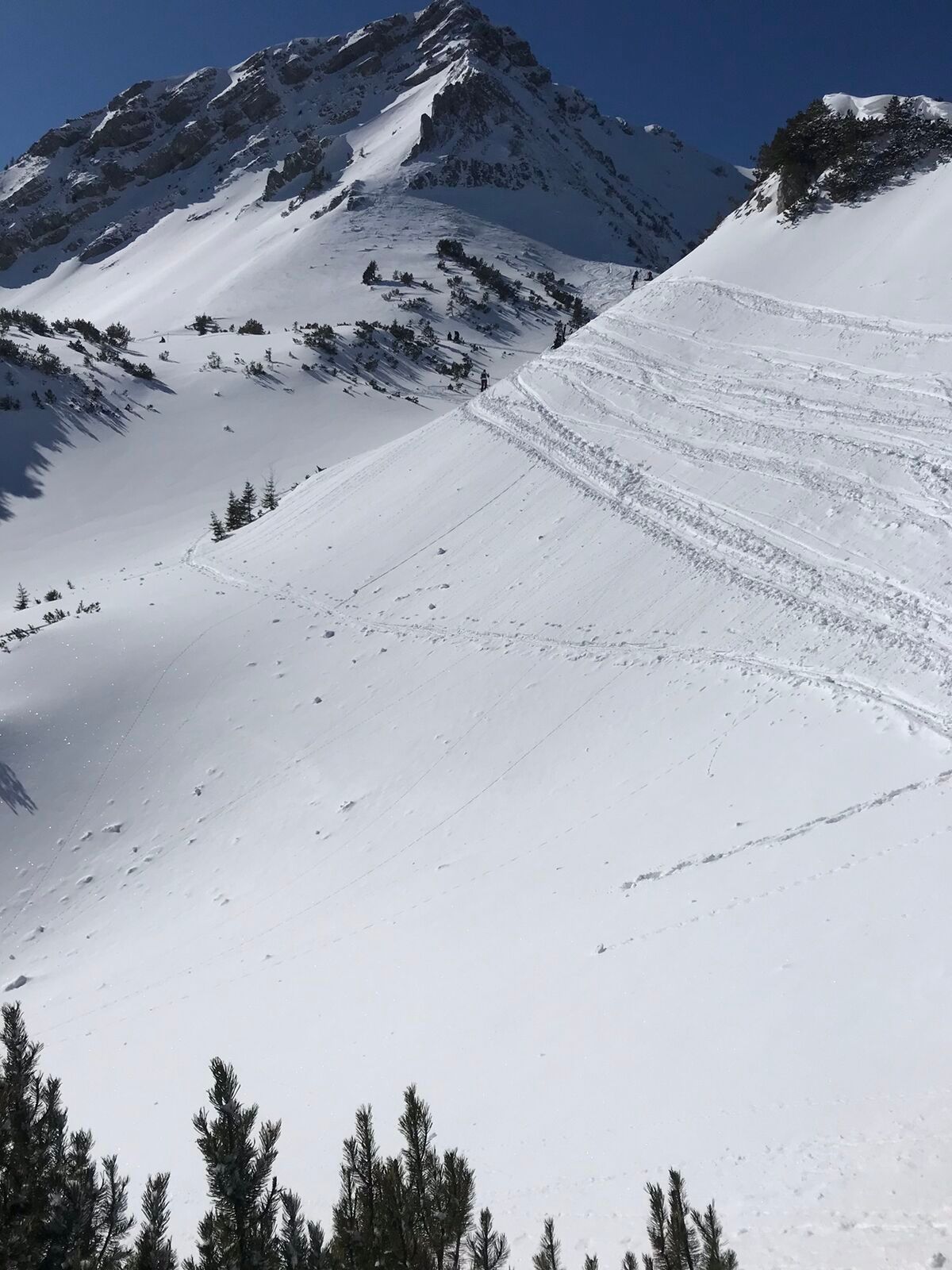
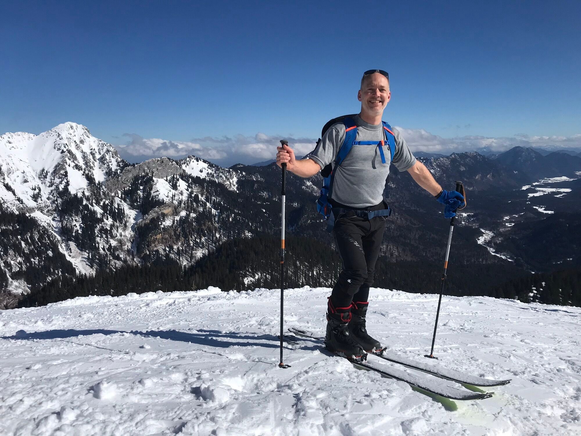
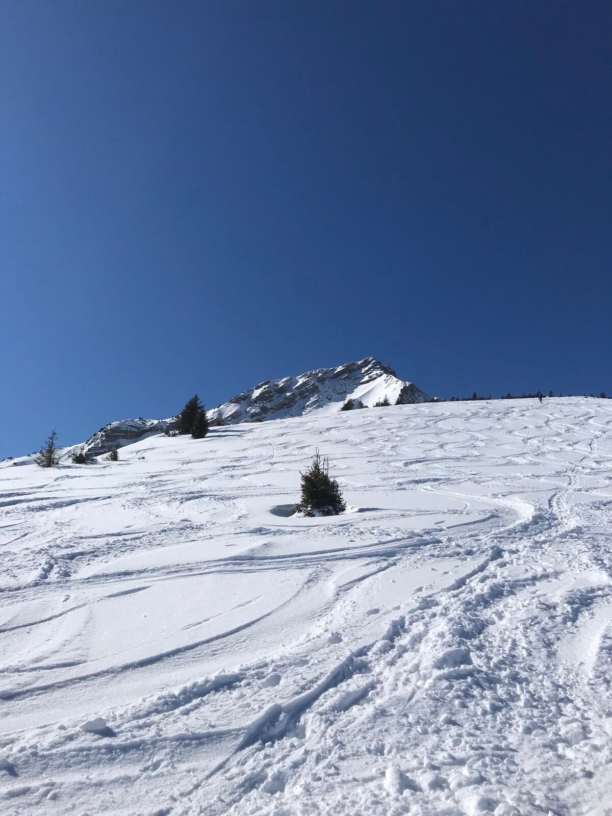
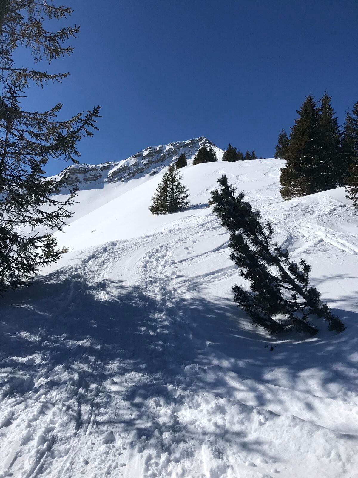
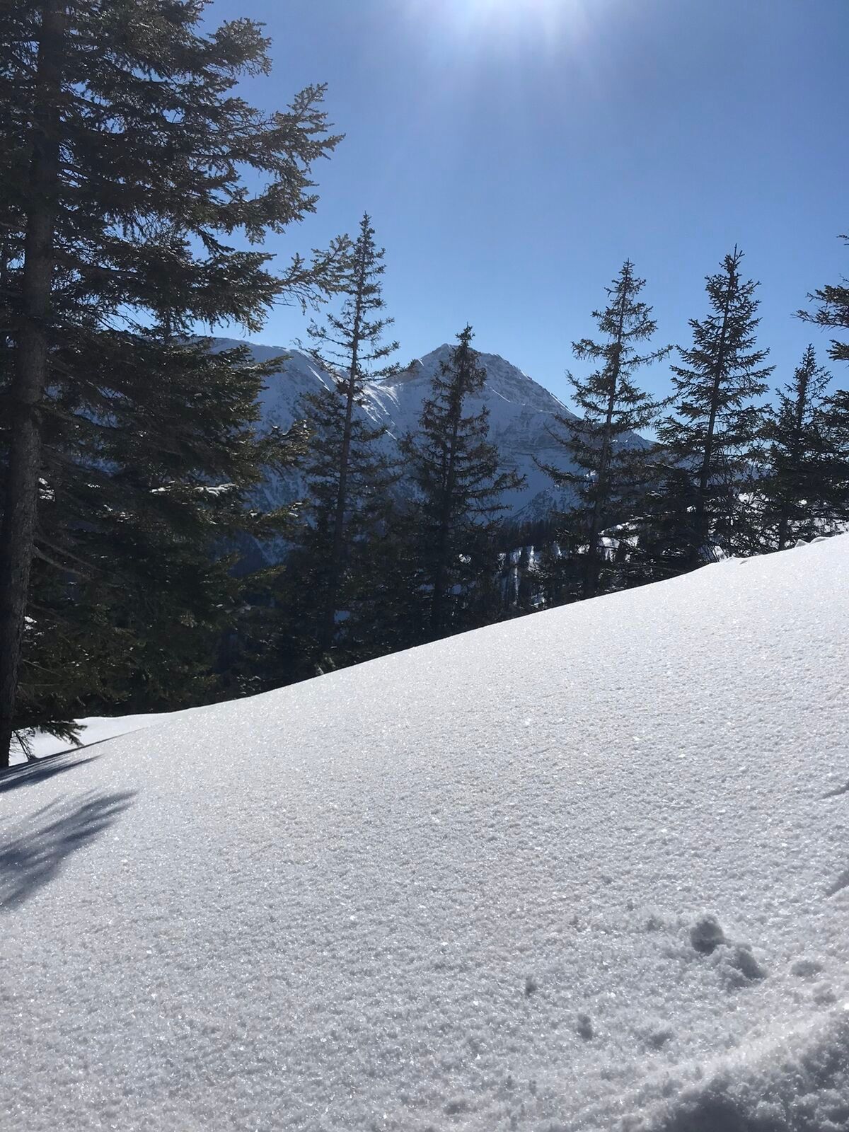
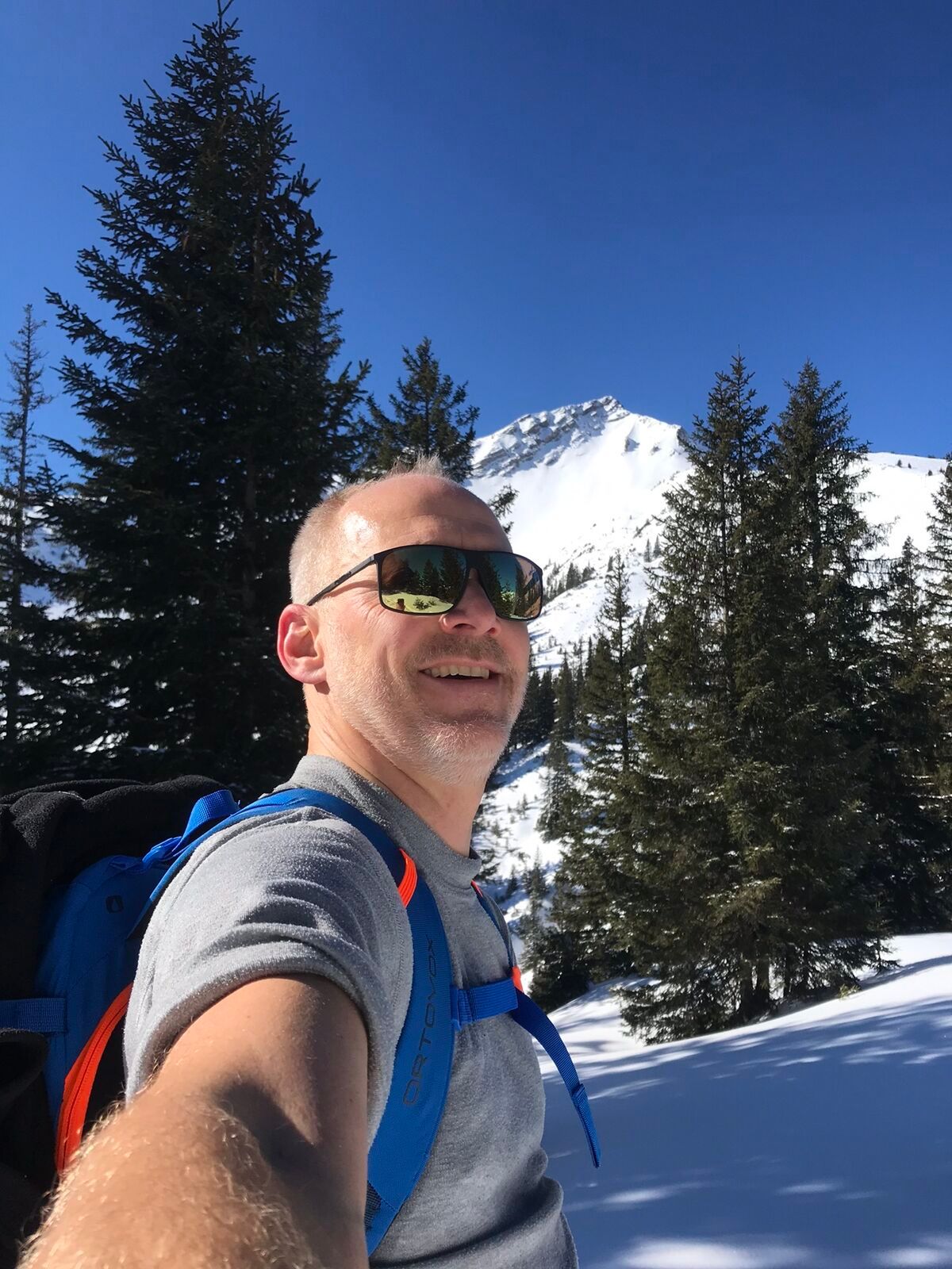
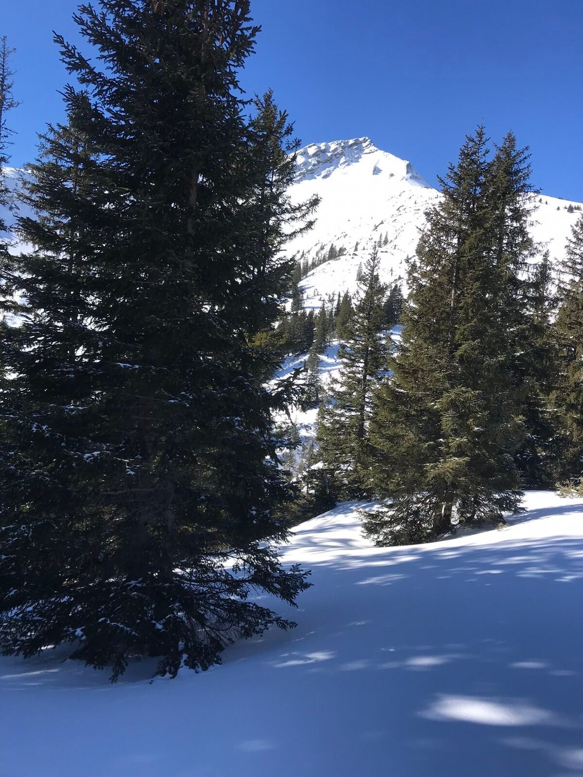
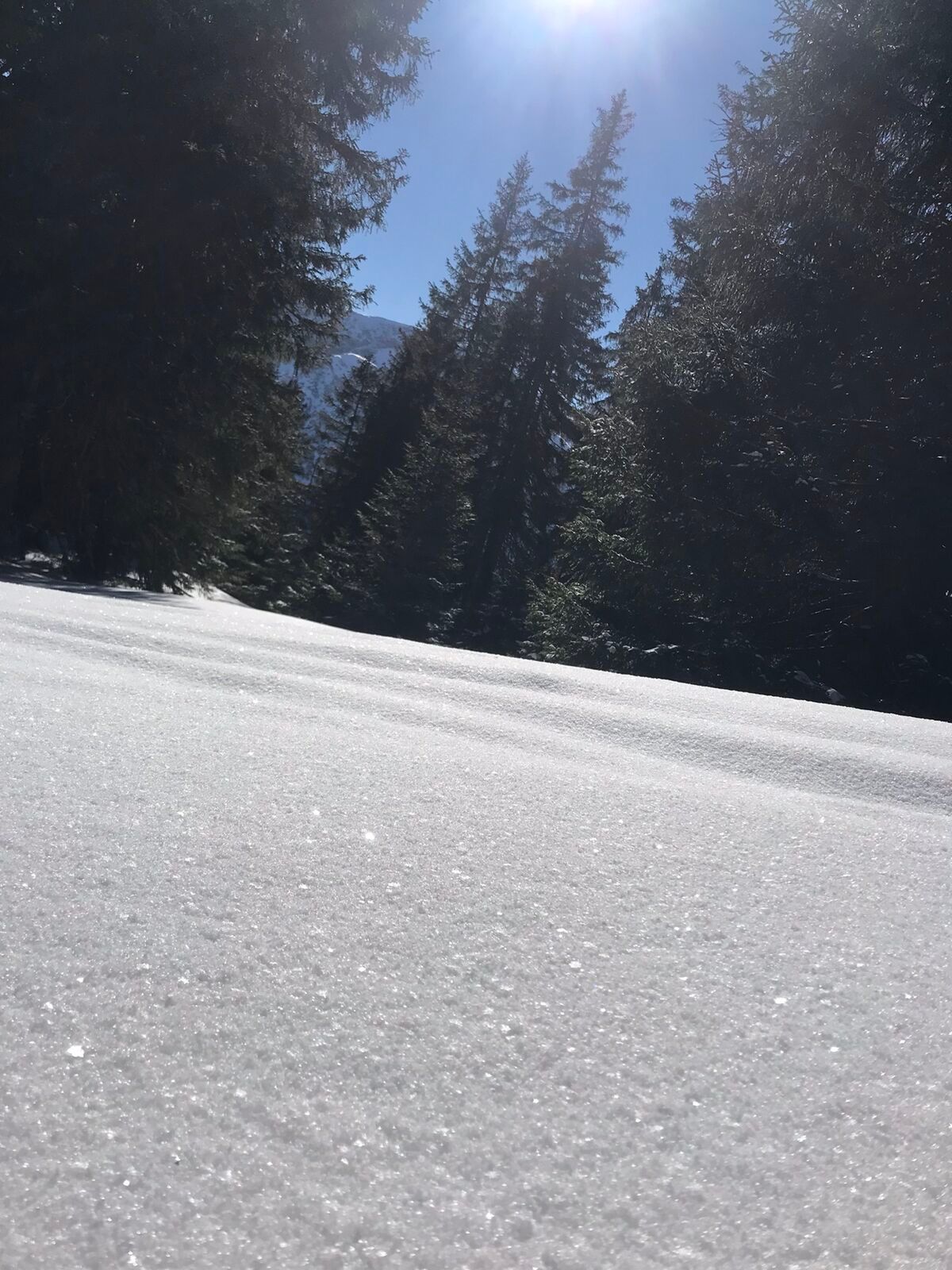
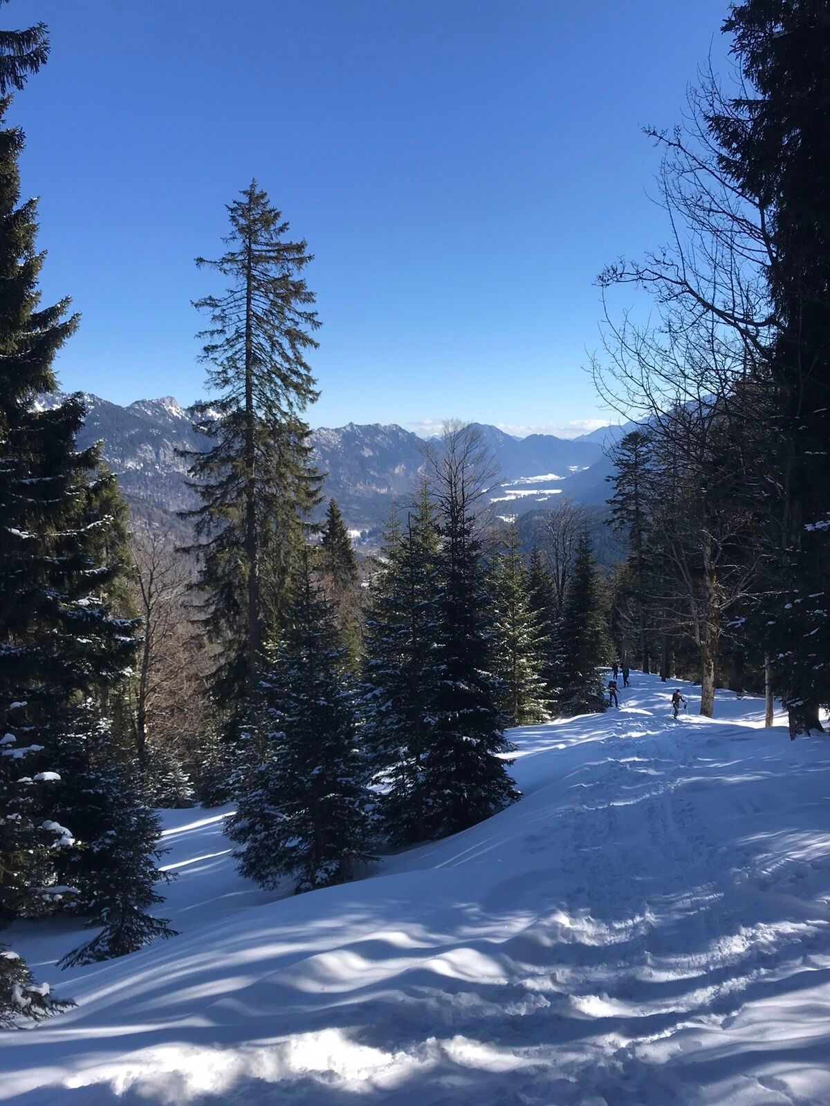
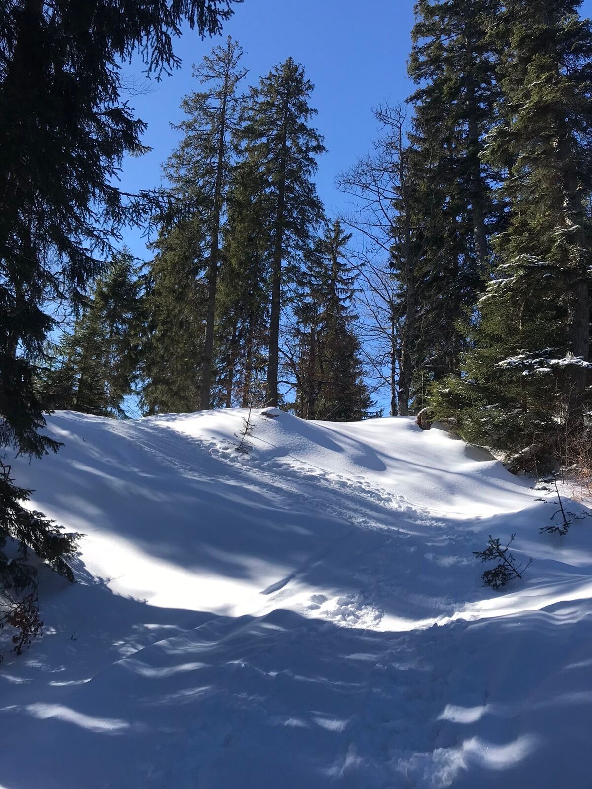
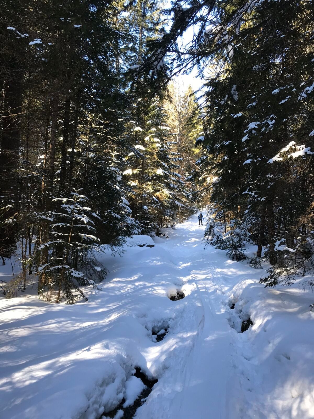
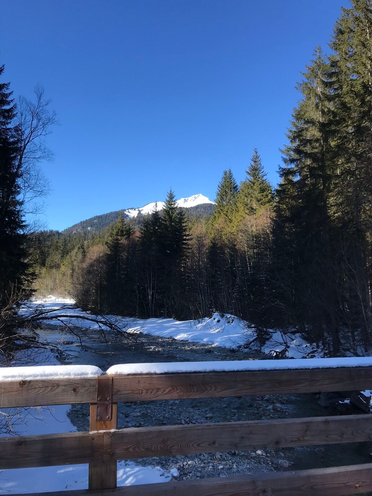
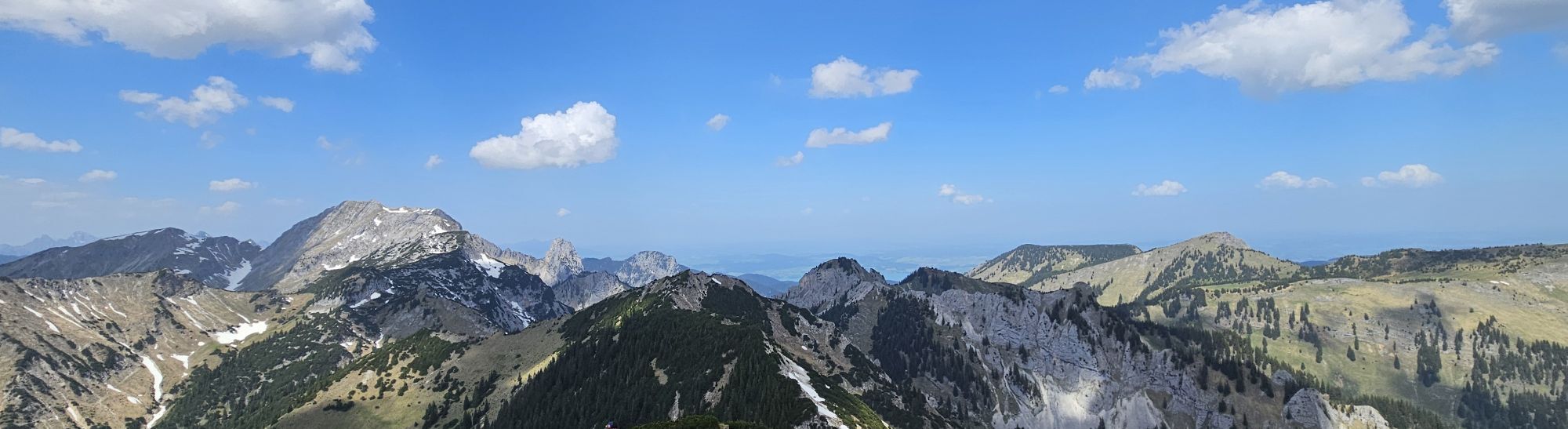
Route guidance for ascent and descent is excellently marked by the DAV. Usually relatively low avalanche risk. So lots of route fun with great views.
This route was developed as part of the project "Environmentally...
Route guidance for ascent and descent is excellently marked by the DAV. Usually relatively low avalanche risk. So lots of route fun with great views.
This route was developed as part of the project "Environmentally friendly ski mountaineering" by the German Alpine Club in cooperation with local representatives (forestry, hunting, and farmers).
Please do not enter or use the winter protection areas!
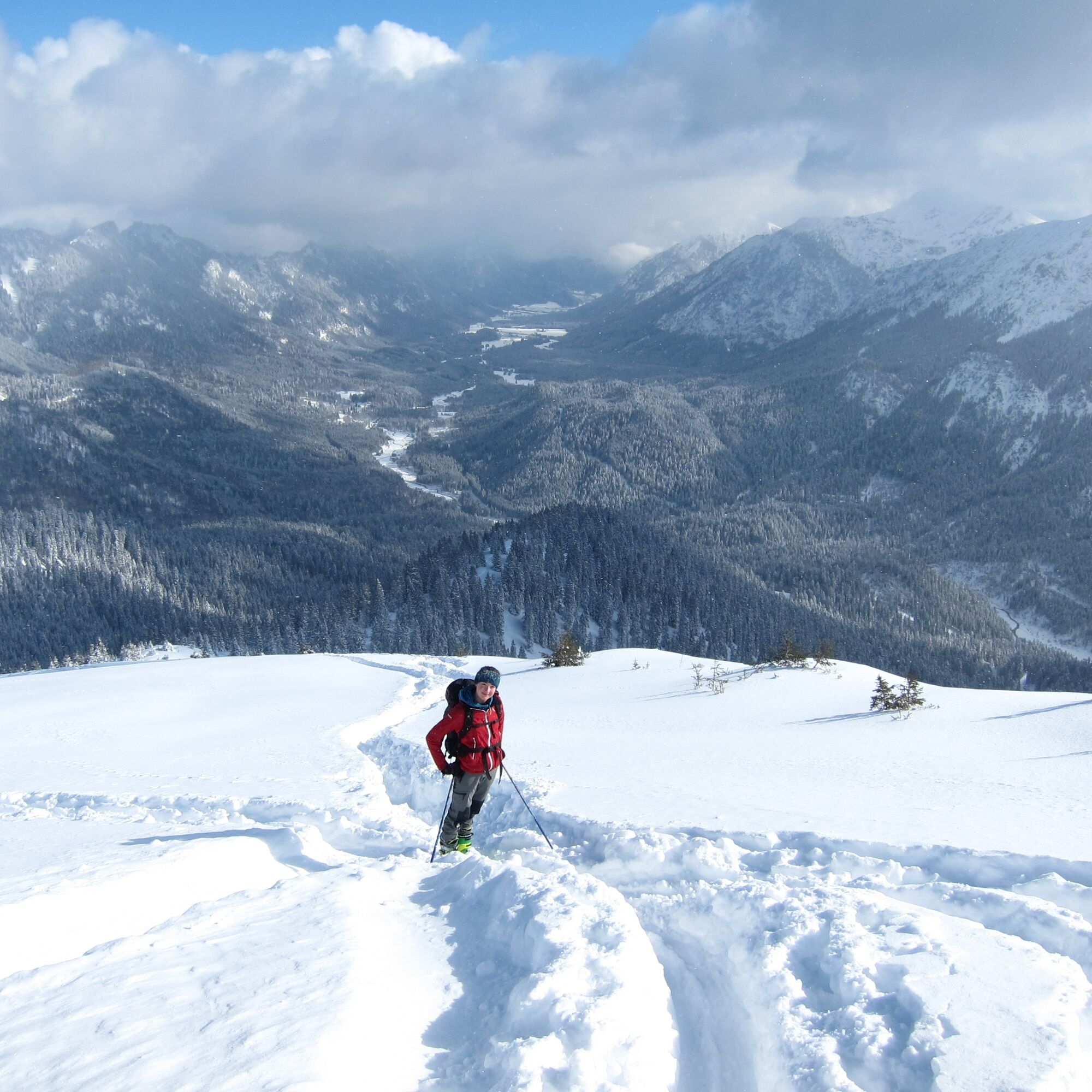
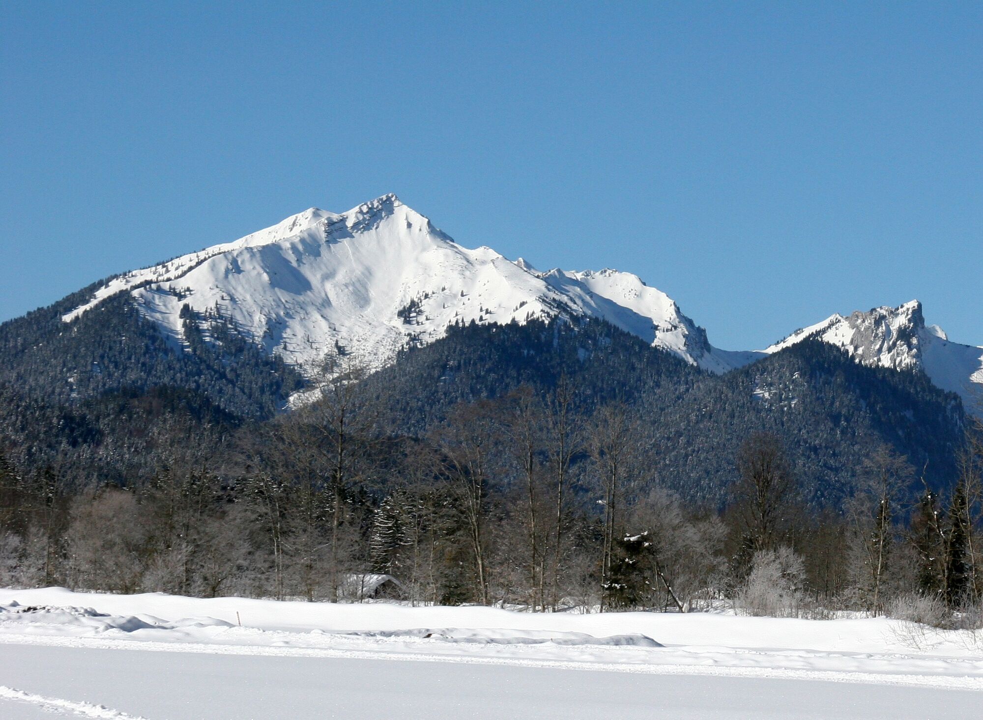
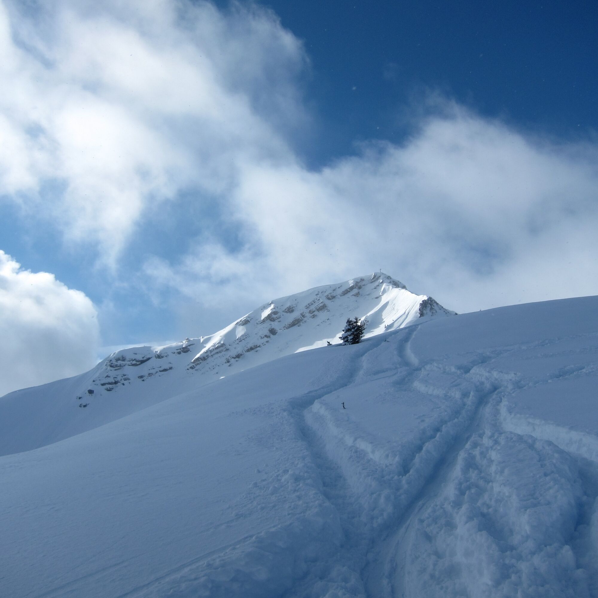
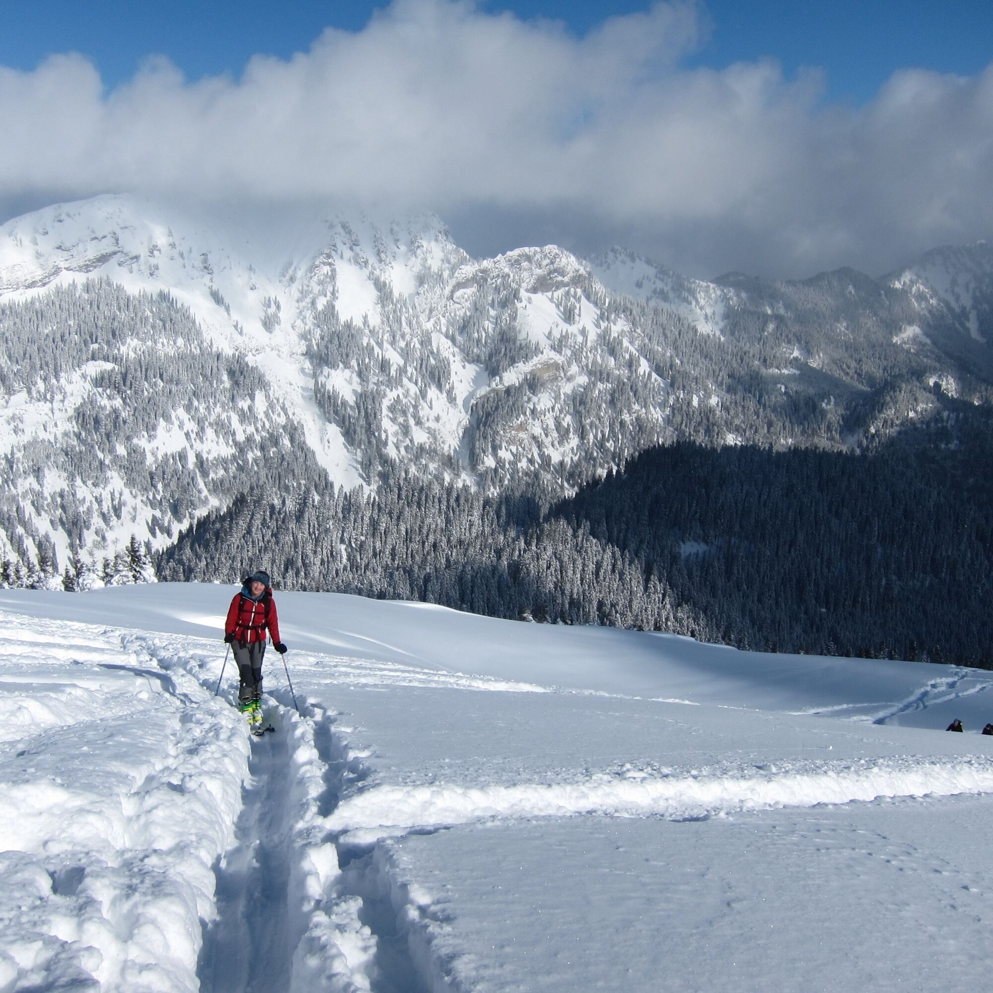
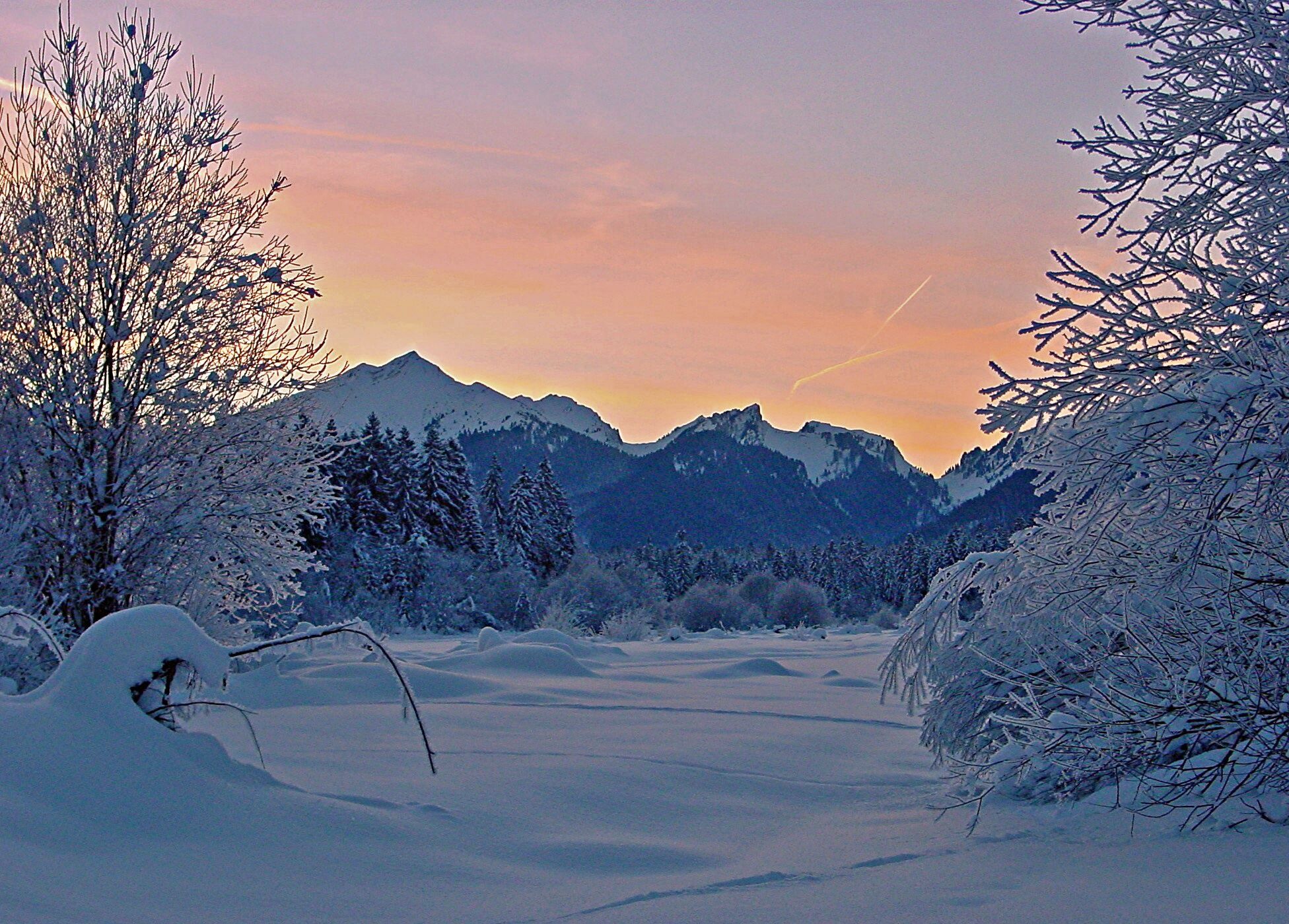

On the forest road, you cross the stream, then you have to turn left immediately and follow the road past the Hundsfällgraben.
Here you climb right through open forest on the northern eastern ridge of the Scheinberg until you finally reach the summit structure from the right over open slopes and get to the summit on foot over rock ledges with cable protections.
With the perfect equipment, your personal winter day in the Ammergau Alps Nature Park will be unforgettable. The appropriate winter equipment such as crampons (spikes for hiking boots), hiking poles, snowshoes, sleds, or cross-country skis can be rented from our partners depending on availability:
Tourist-Info Bad Bayersoien
Address: Dorfstr. 45 - 82435 Bad Bayersoien
Tel.: +49 8845 7030 620
Drahtesel Rental Lukas Spindler / Sporthaus Mühlstraßer
Address: Theaterstraße 2 - 82487 Oberammergau
Tel.: +49 172 7228493
www.sport-muehlstrasser.de
www.bikeverleih-oberammergau.de
Sportzentrale Papistock
Address: Bahnhofstraße 6a, 82487
Tel.: +49 8822 4178
www.sportzentrale-papistock.de
Please always observe the avalanche forecast: www.lawinenwarndienst-bayern.de
In case of emergency, please contact the nearest rescue control center. Regardless of your location, you can reach it Germany-wide at phone number 112.
Leave the B23 between Oberammergau and Ettal towards Reutte into the Graswang Valley, past Linderhof Castle there is soon a large car park on the right side.
Bus stop: Linderhof (20 min walk to the starting point)
9622 Oberammergau - Ettal - Linderhof
Guests of the Ammergau Alps region travel free by bus and train with the electronic guest card or the Königscard
e-car sharing in the Ammergau Alps Nature Park
Car park Sägertal (winter), Graswang Valley

Aktivity počas prehliadky


Obľúbené výlety v okolí
-
4,6
Mountain route - Teufelstättkopf
strednáTuristika 10,8 km -
4,1
Drehhütte
svetloTuristika 3,34 km -
4,5
Circular hike Dreh- and Rohrkopfhütte
svetloTuristika 8,76 km -
4,9
Tegelberg | Branderschrofen | Neuschwanstein
strednáTuristika 14,8 km -
4,6
Yellow Wall Trail, Tegelberg (A)
strednáVia ferrata 3,65 km -
4,4
Rundwanderung Stuibenfälle
strednáTuristika 3,92 km -
4,4
Cultural trail Schutzengelweg
strednáTuristika 5,13 km -
4,8
Schafkopf
svetloTuristika 10,2 km -
3,7
Rundwanderung Plansee
strednáTuristika 9,80 km -
4,7
Hochplatte
strednáTuristika 10,4 km
Turistika a stopovanie


Nenechajte si ujsť ponuky a inšpiráciu na ďalšiu dovolenku
Vaša e-mailová adresa bol pridaný do poštového zoznamu.





