







Alpine adventure path on the Imberg
Úroveň náročnosti: T1
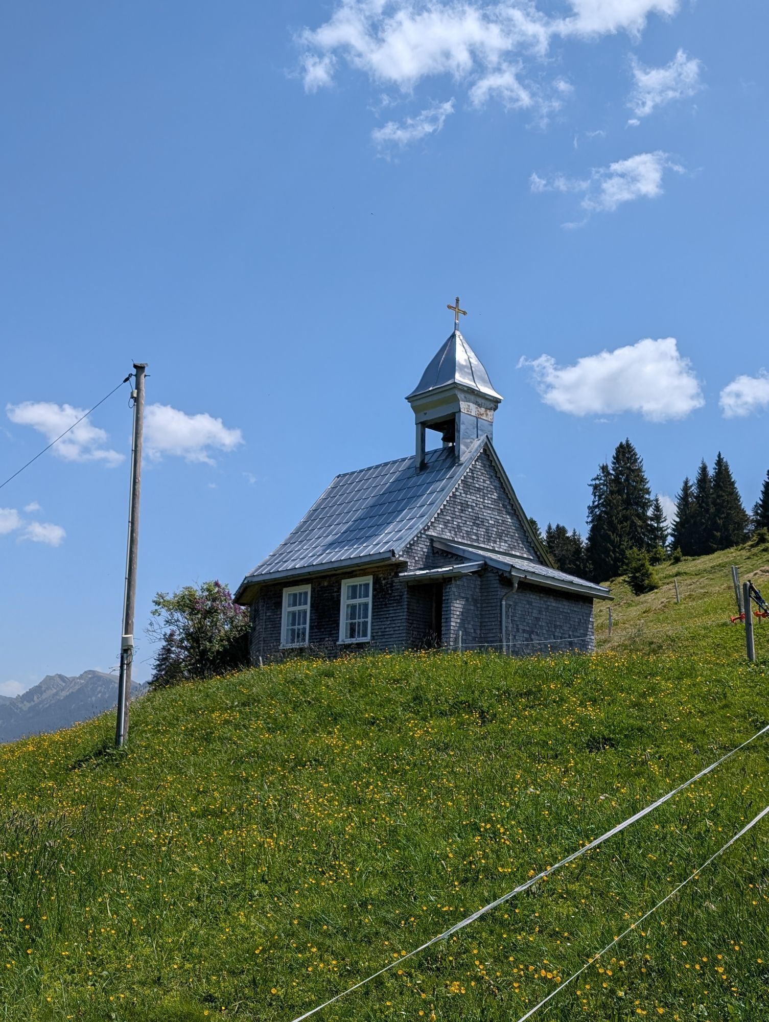
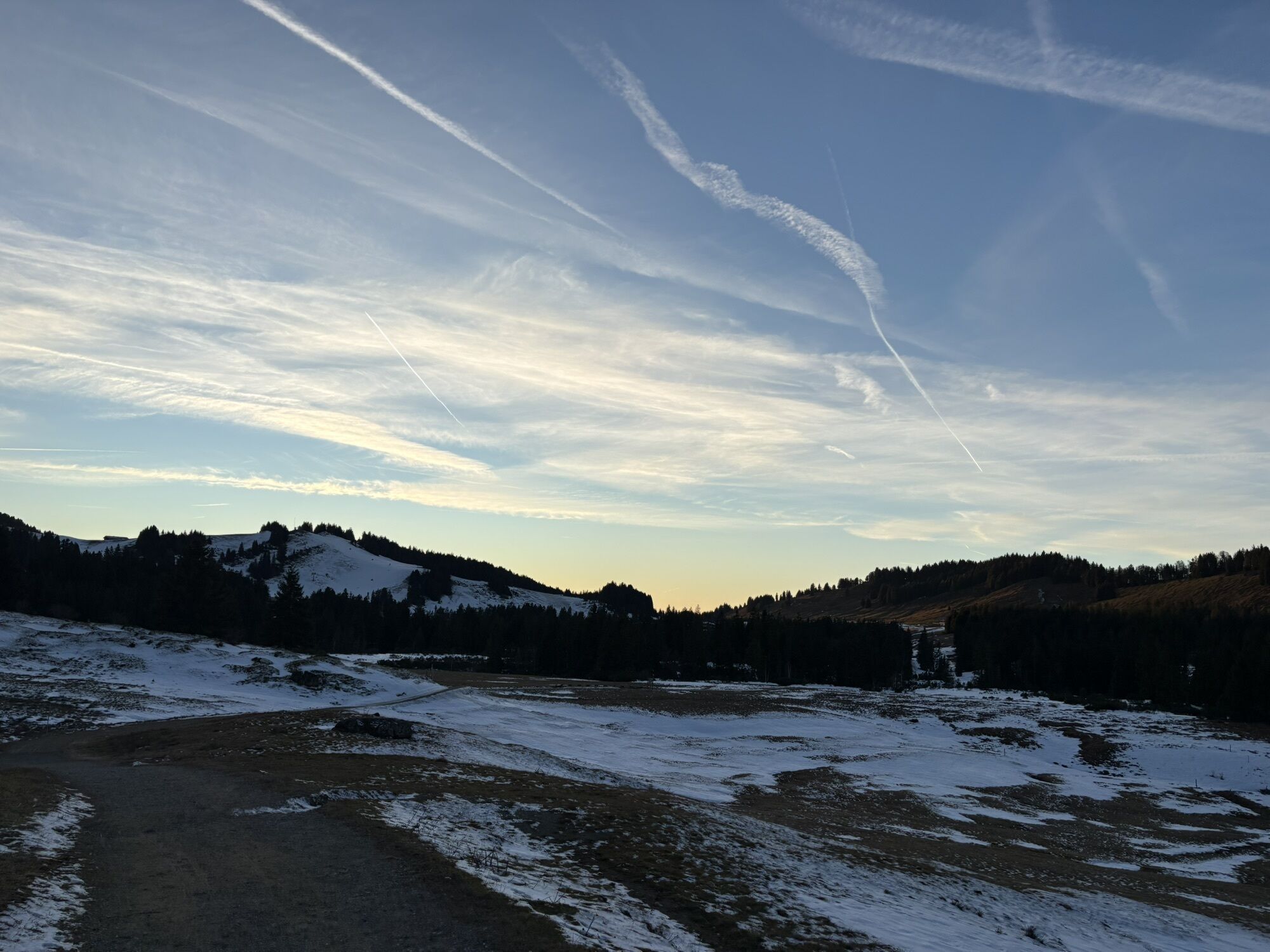
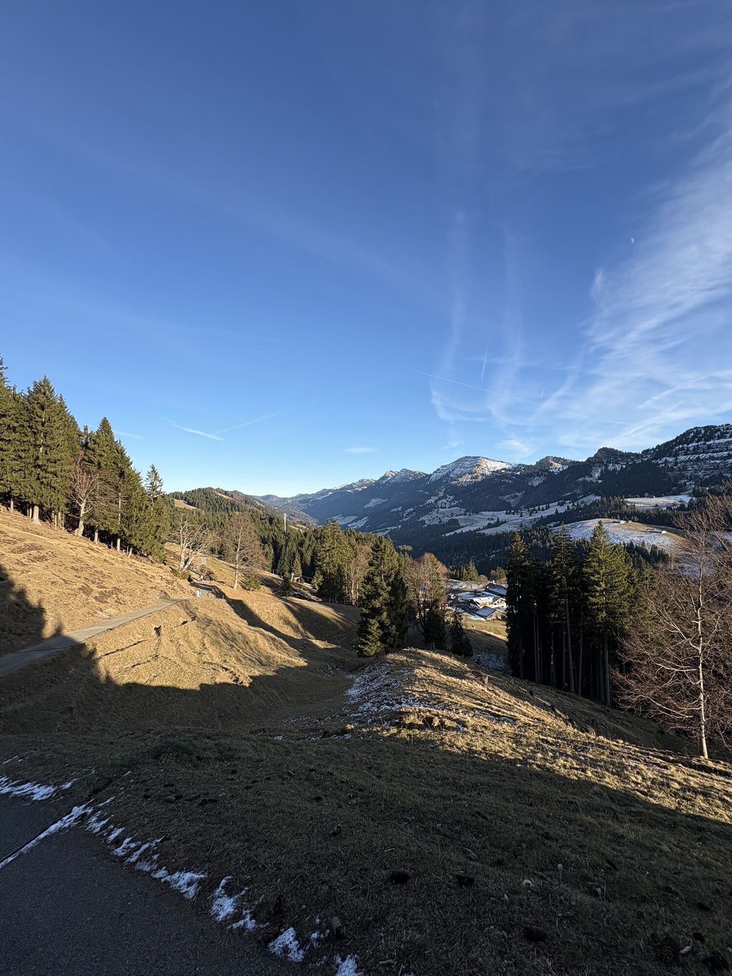
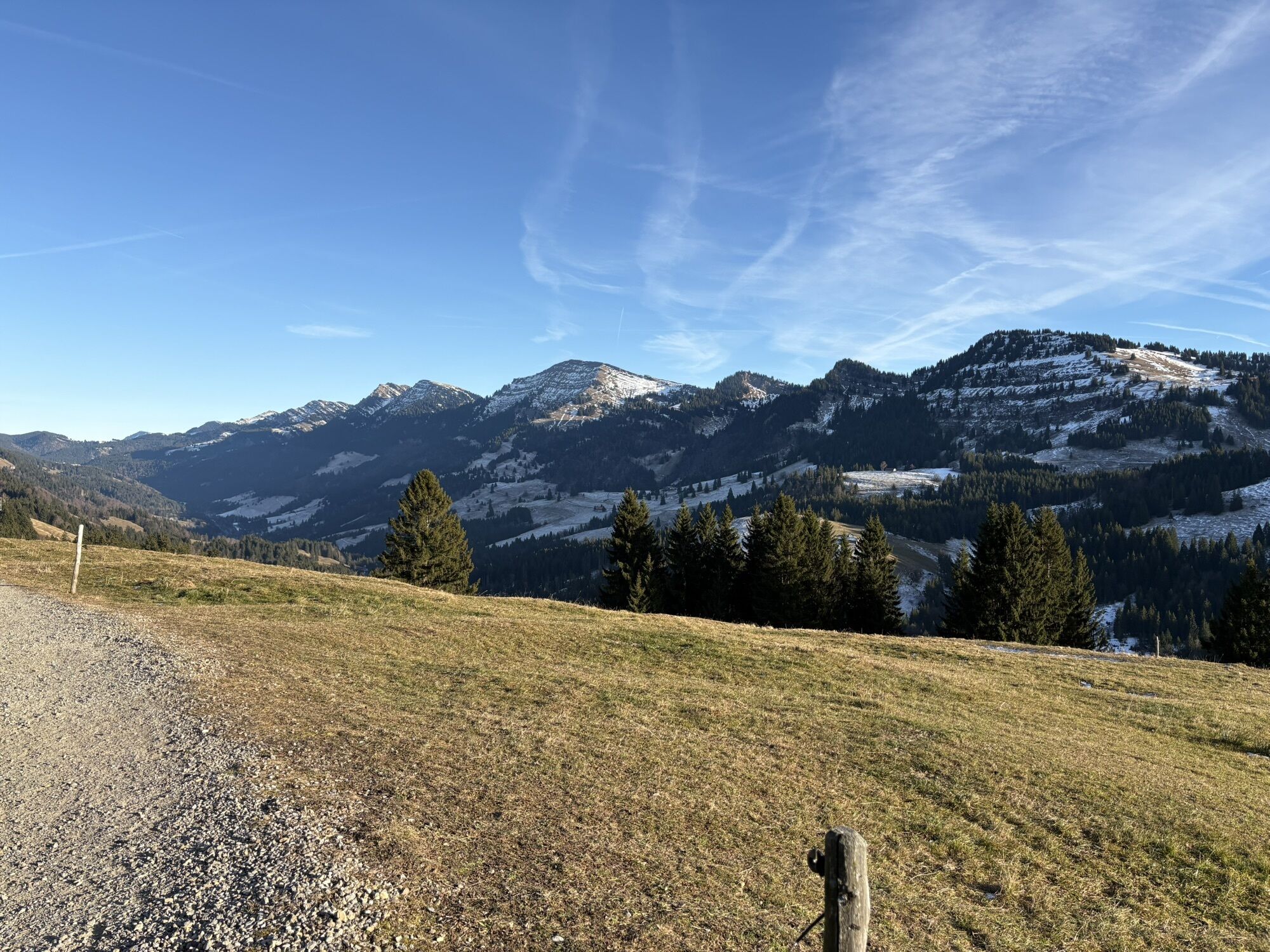
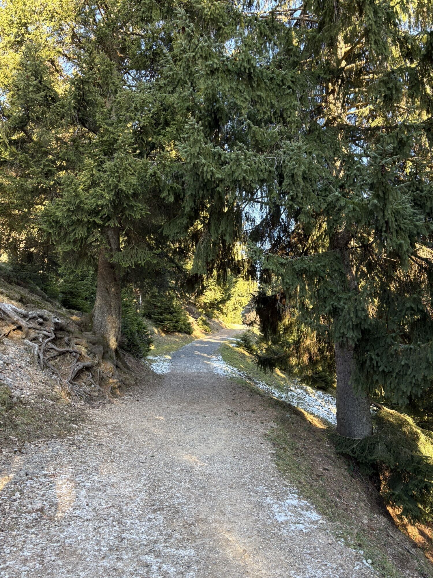
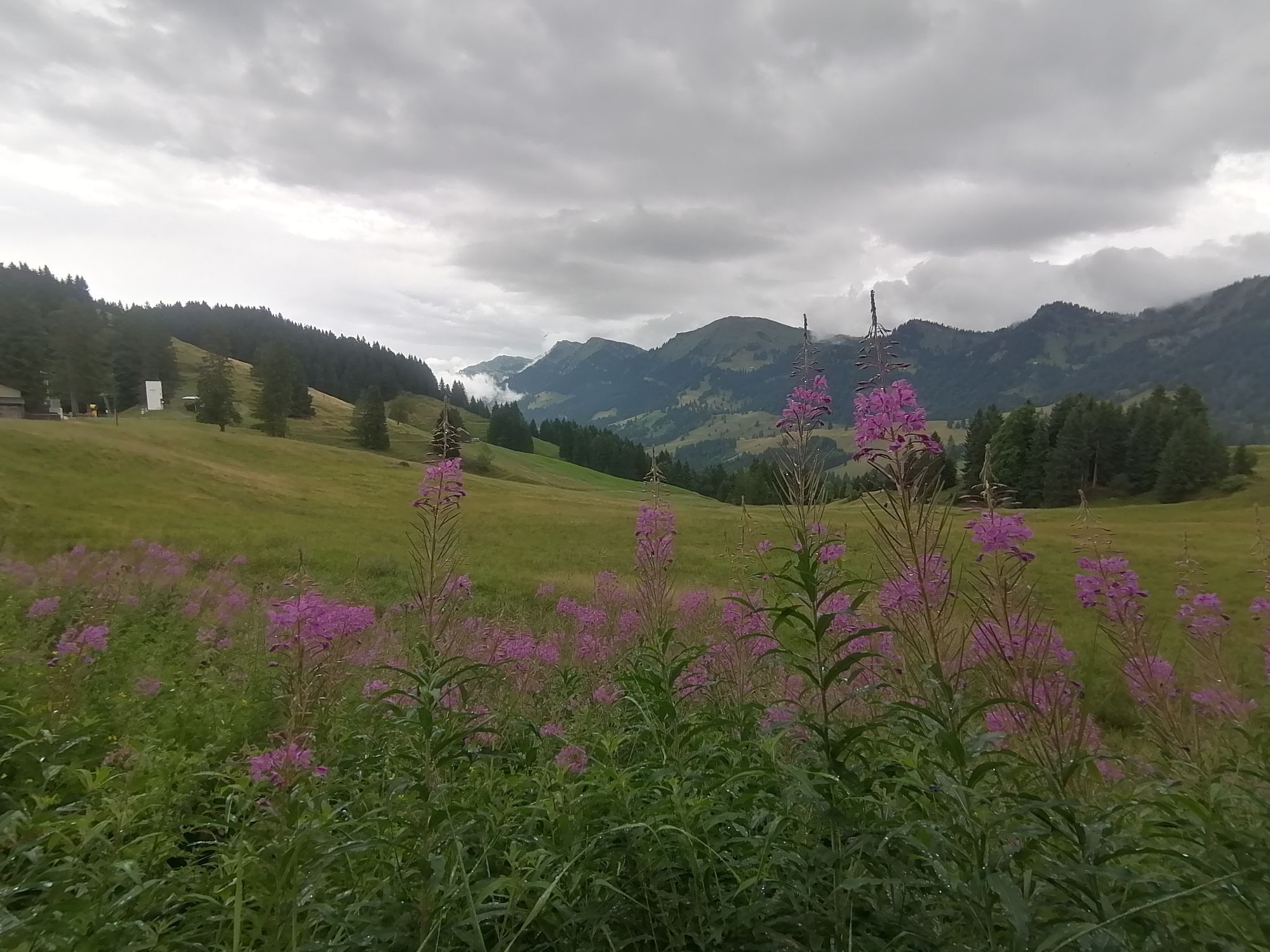
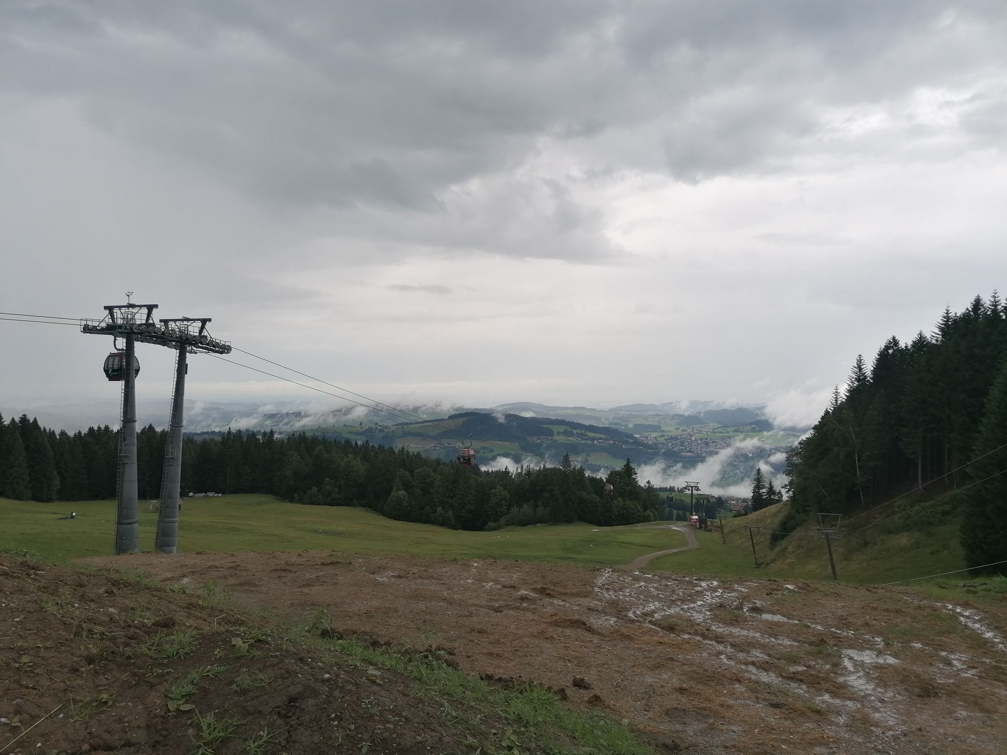
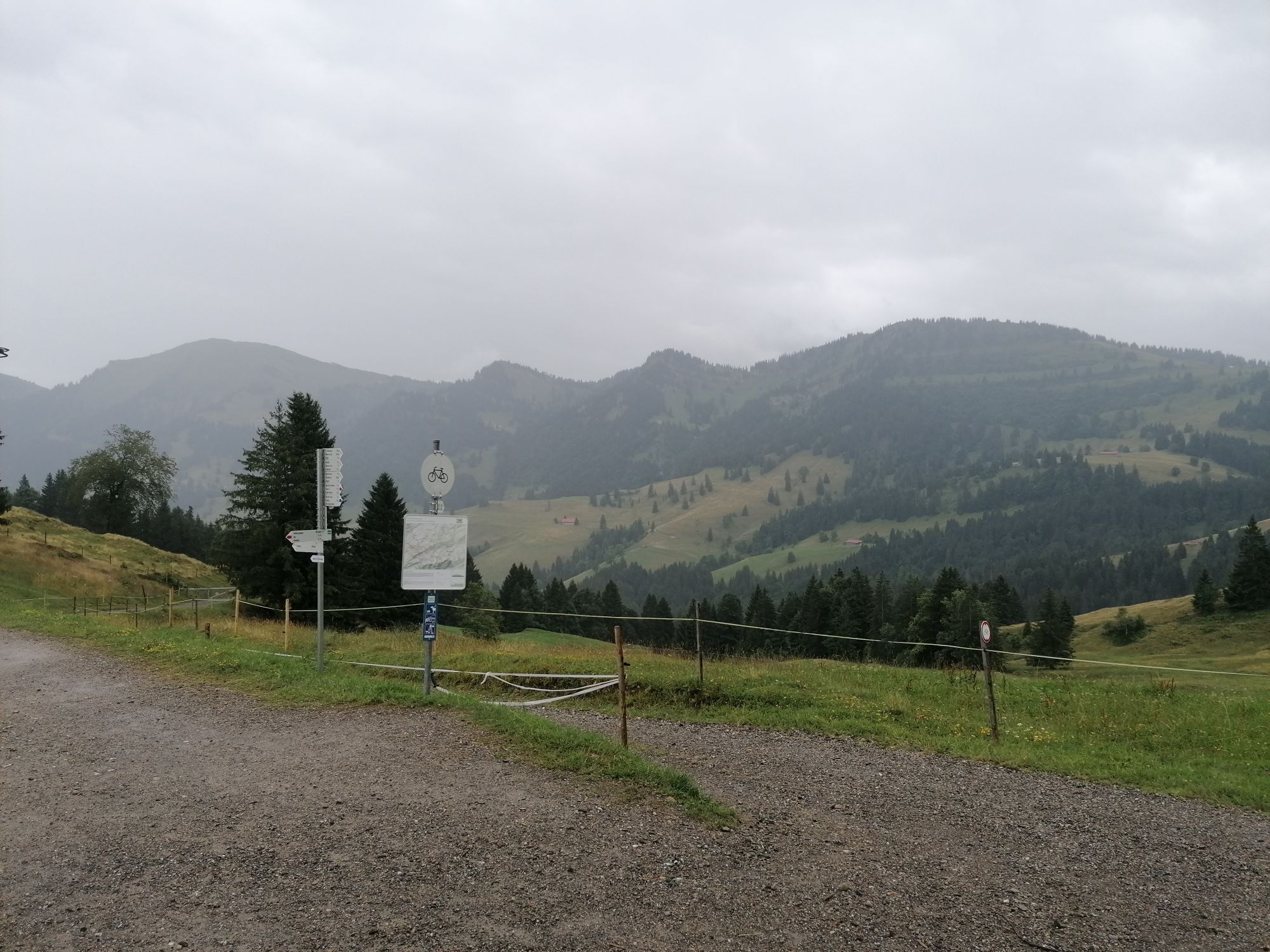
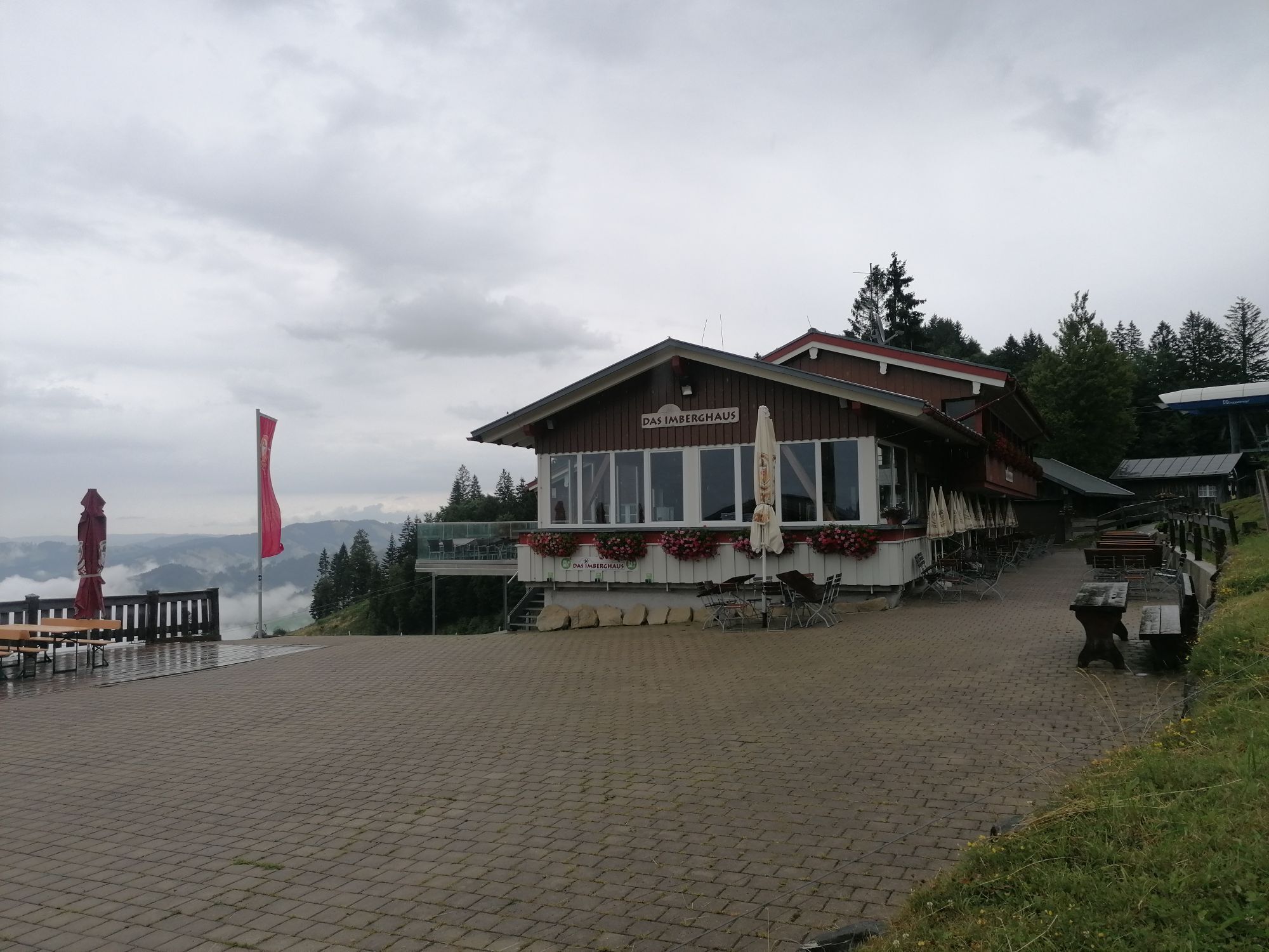
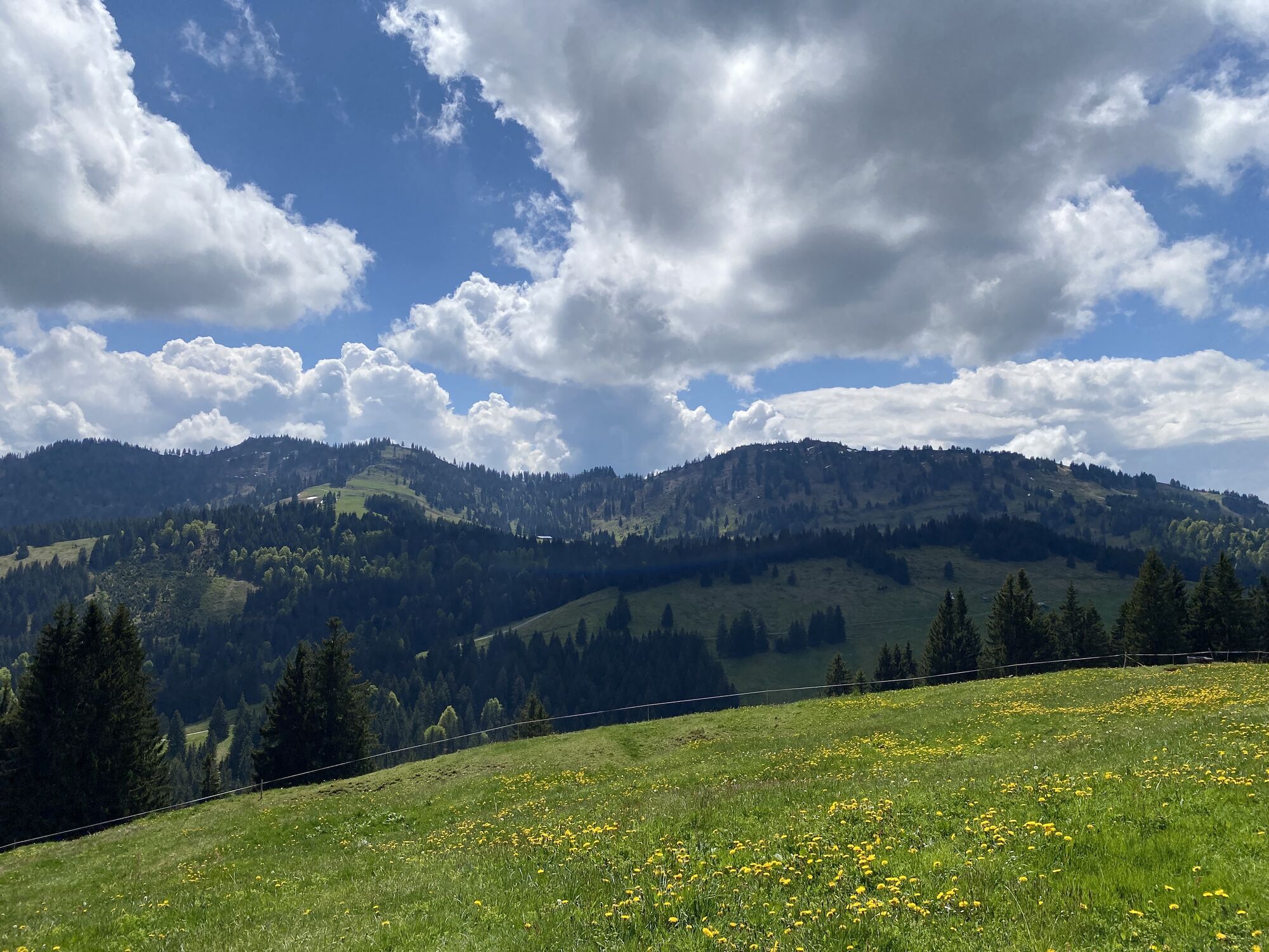
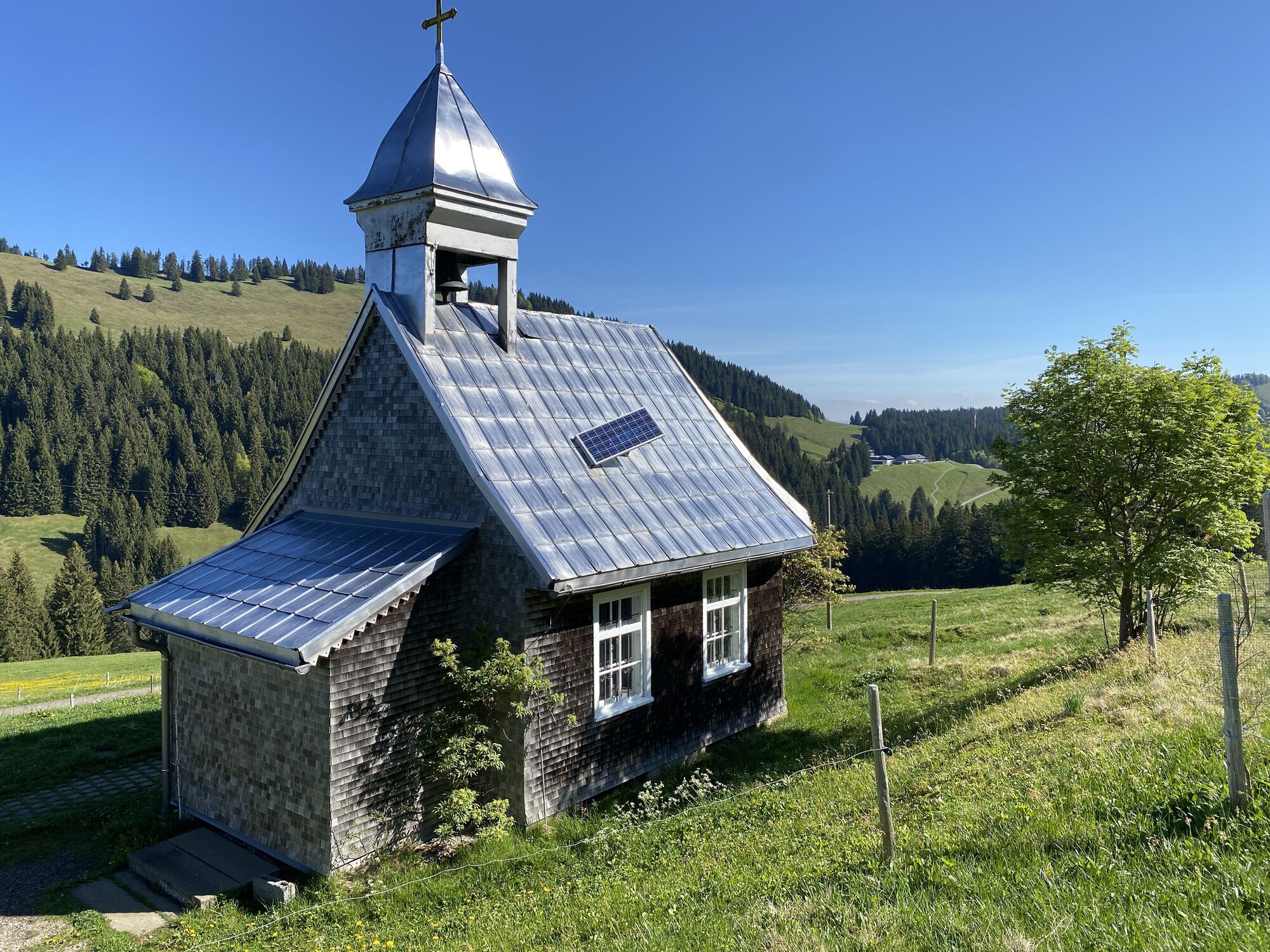
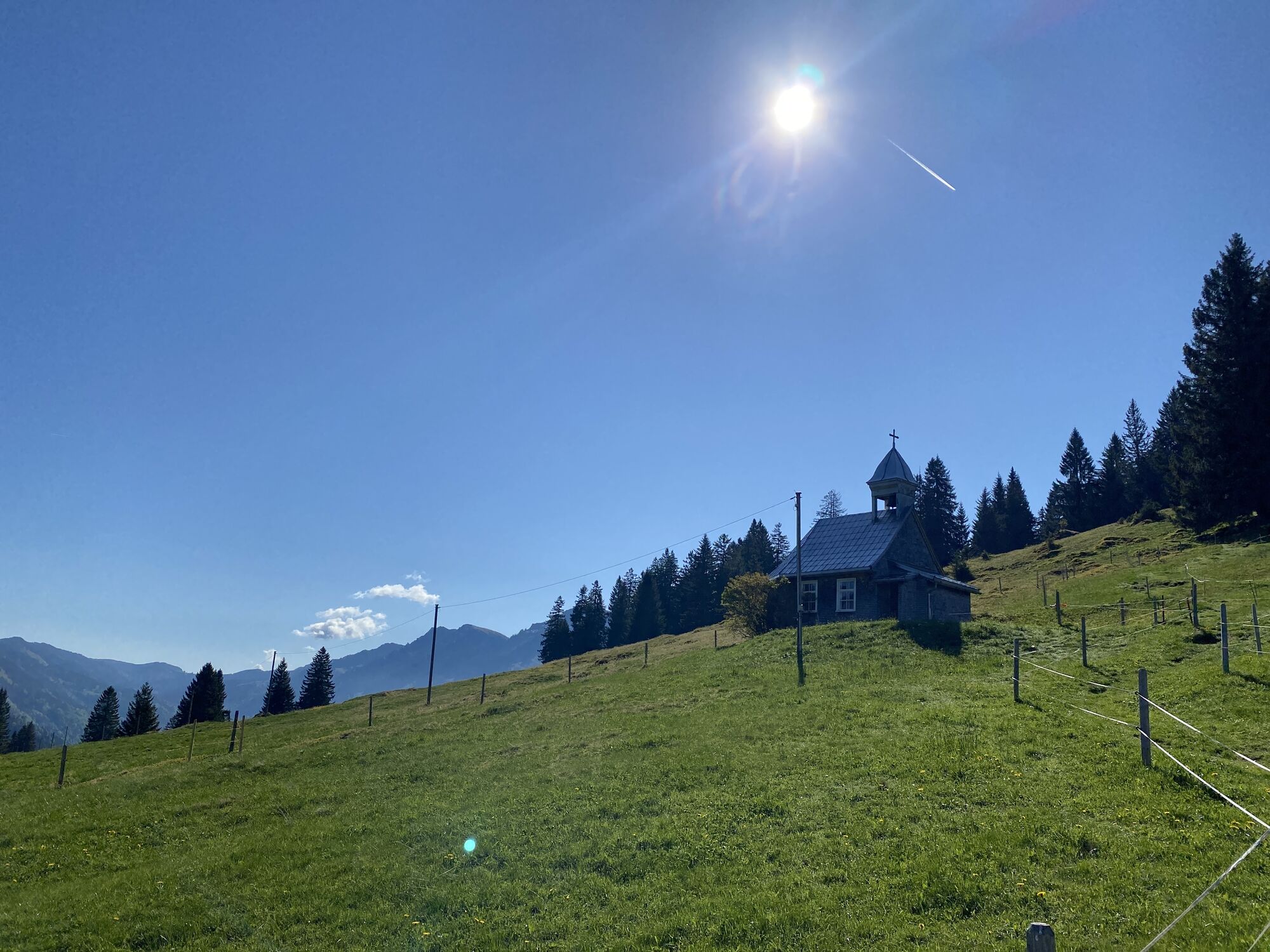
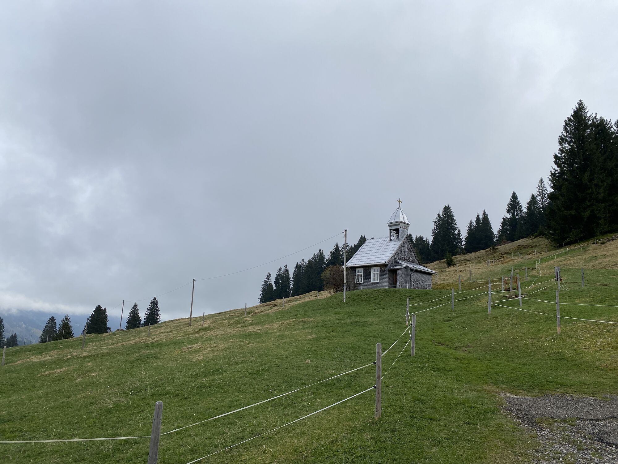
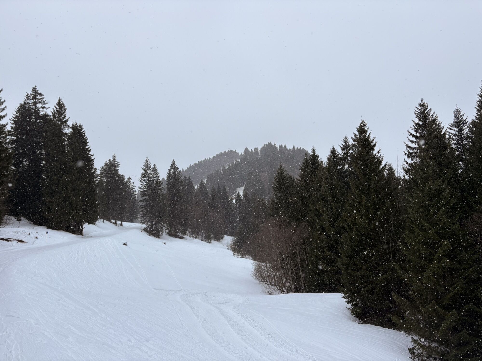
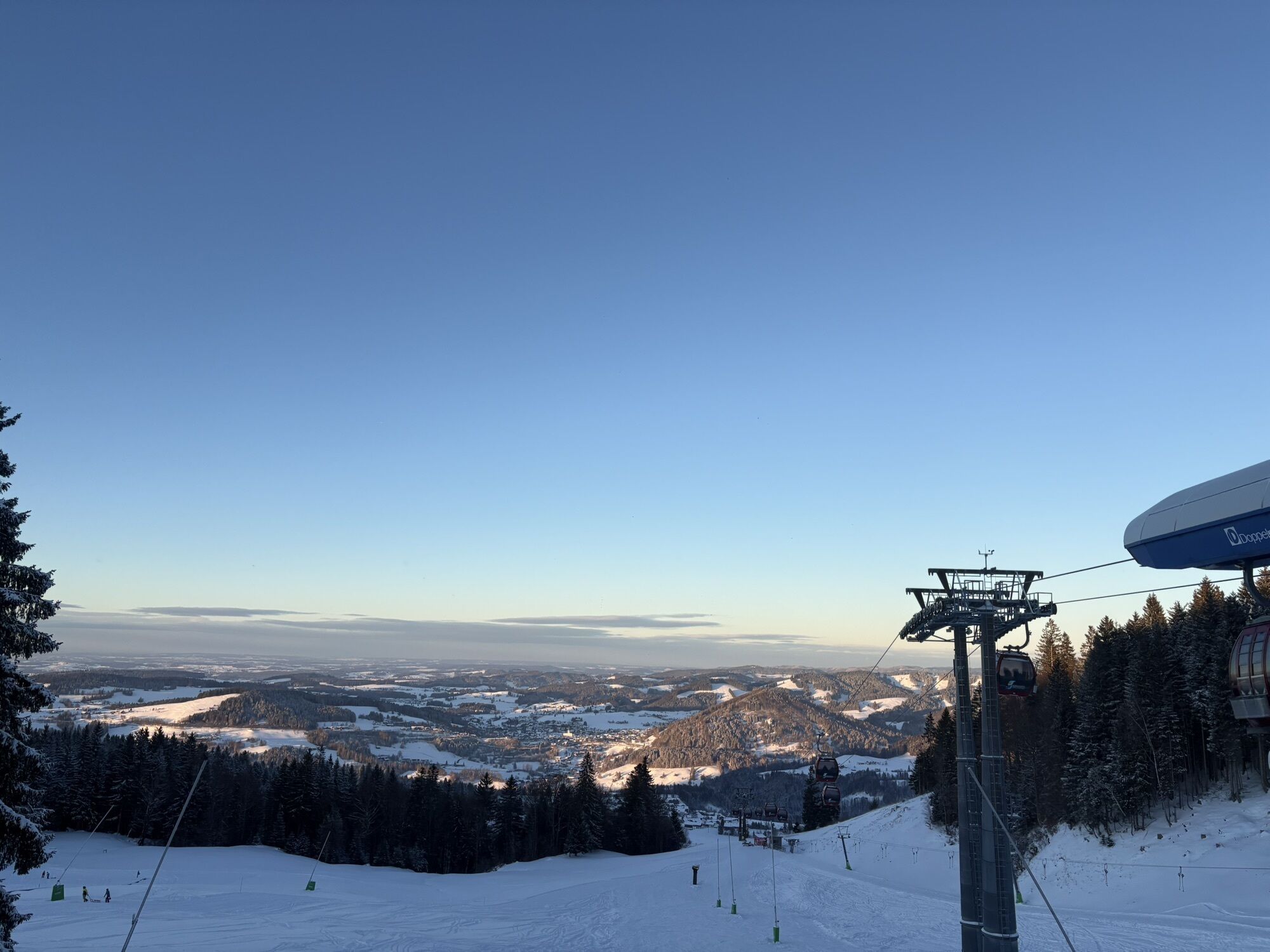
From the mountain station of the Imbergbahn, head west through the forest to the road. There you follow the signposted circular route with its 47 stations counterclockwise. These provide information about...
From the mountain station of the Imbergbahn, head west through the forest to the road. There you follow the signposted circular route with its 47 stations counterclockwise. These provide information about the region and alpine farming in the Allgäu.
Shortly after Alpe Glutschwanden, it goes in a large curve through the raised bog to Alpe Hochwies, then down to Lanzenbach and back up to Alpe Hochbühl. From there back to the mountain station.
With a length of just over six kilometers, the alpine adventure path is a leisurely but multi-hour route if you take your time at the stations. Best views of the peaks of the Nagelfluhkette line the path. The entire route runs on paved paths, making the round also suitable for all-terrain strollers. A shortened route of five kilometers as well as a short walking loop of only two kilometers in the Imbergbahn area are possible.
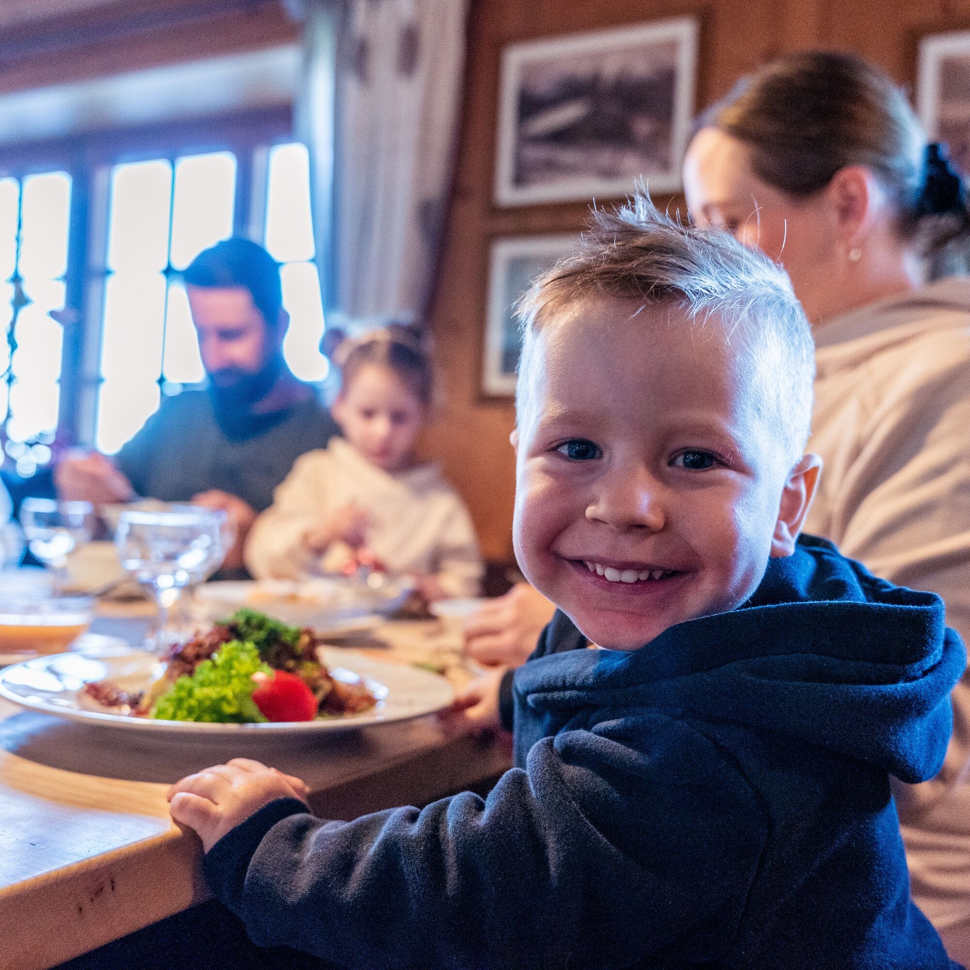
Several huts along the way provide plenty of opportunities to stop for refreshments.

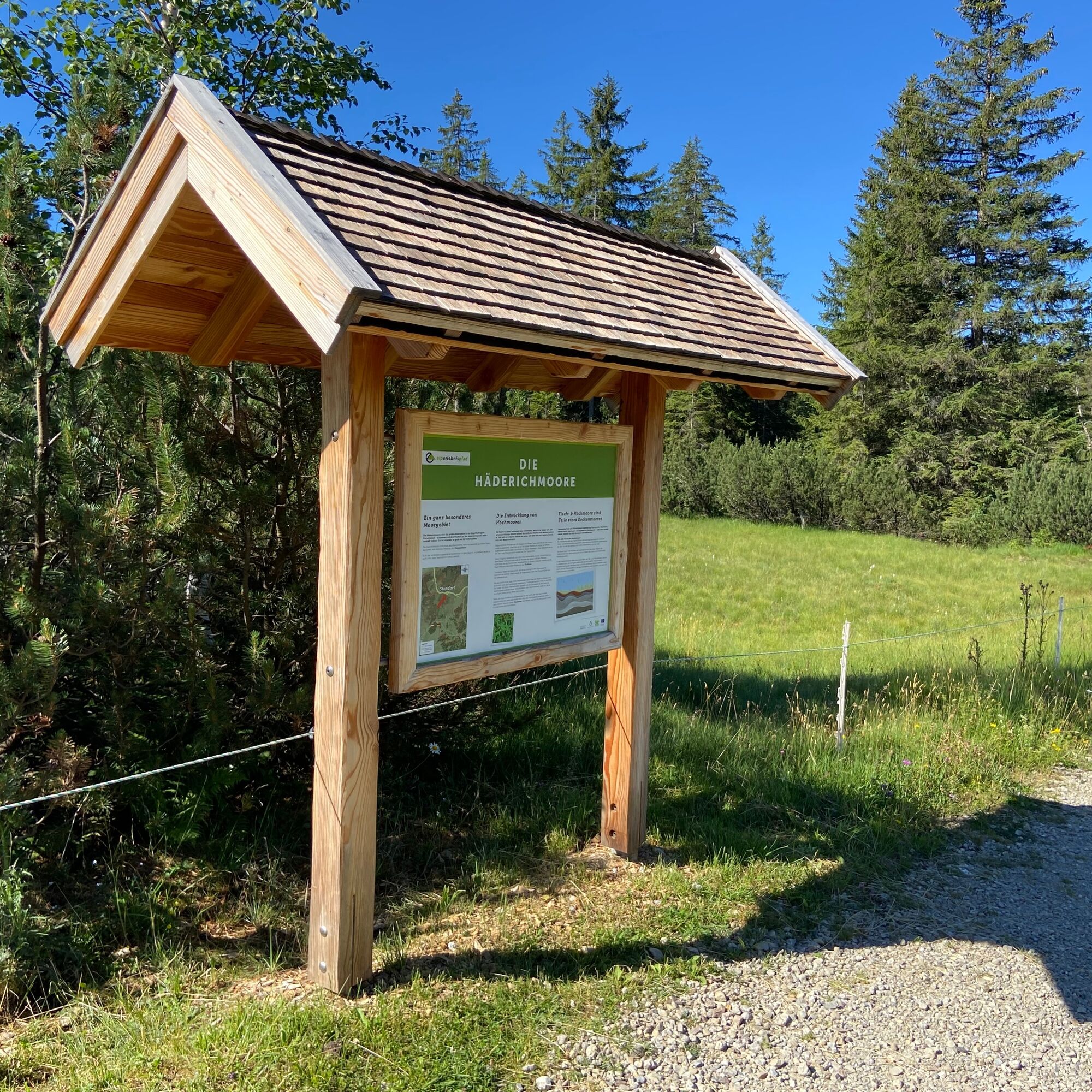
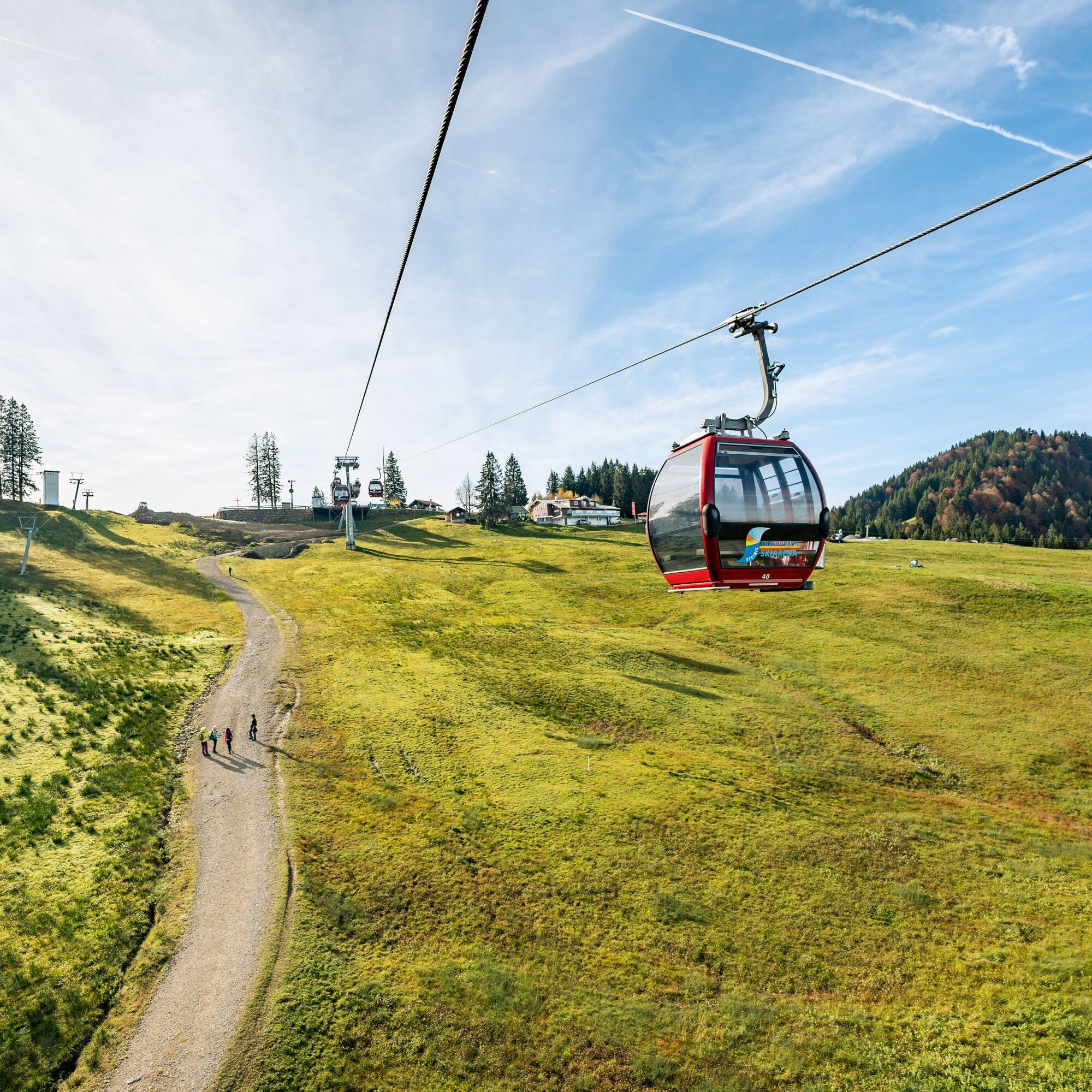
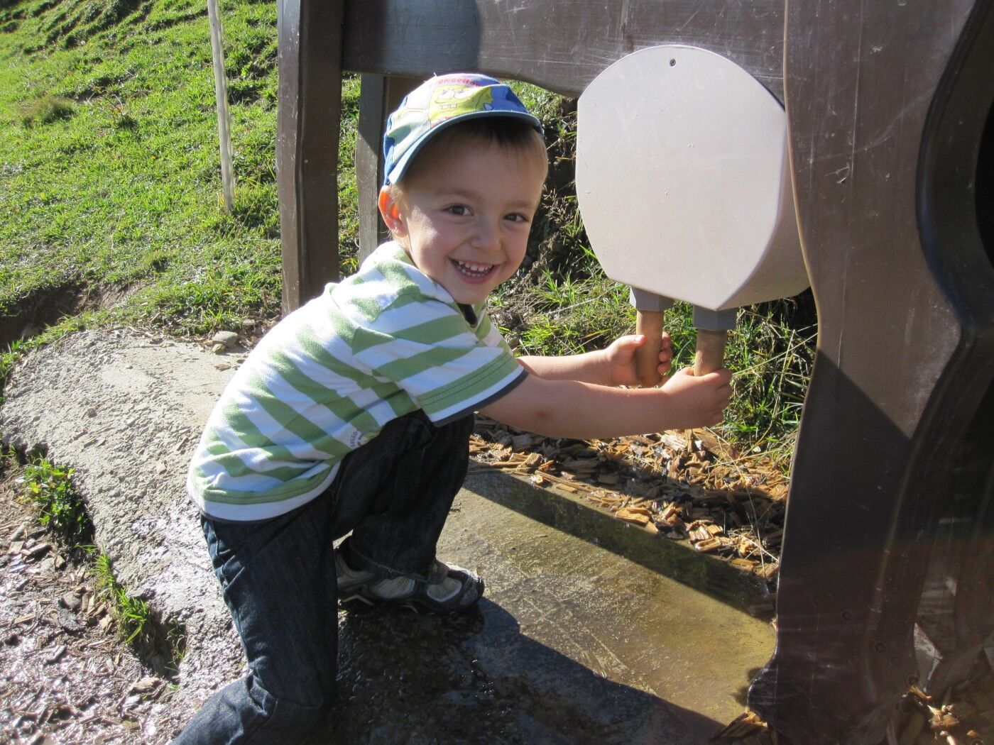
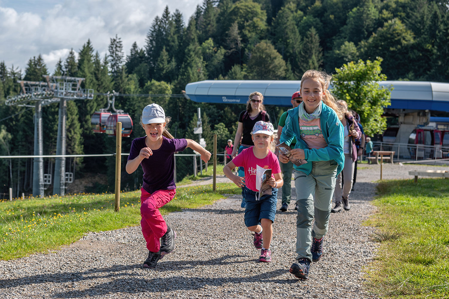
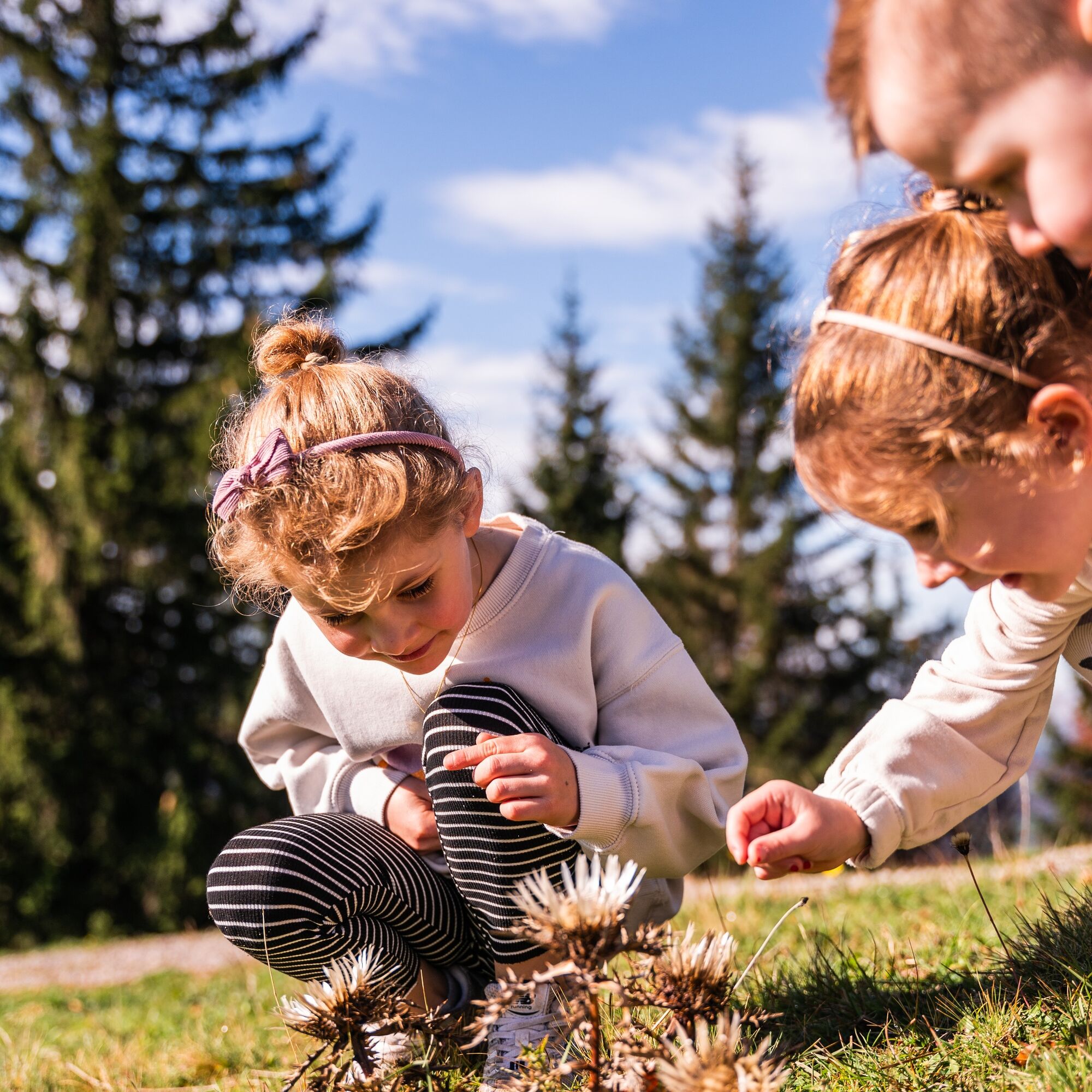
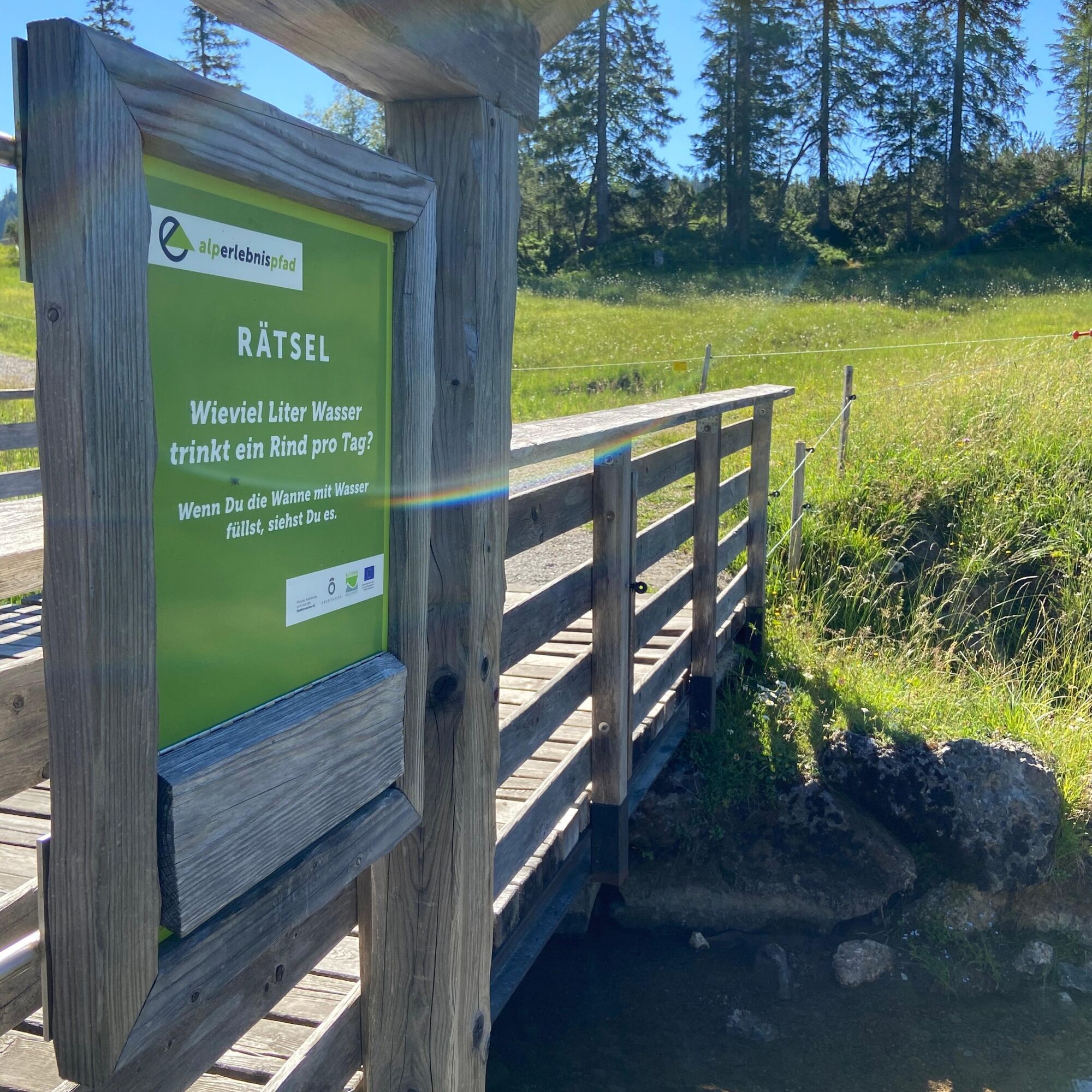
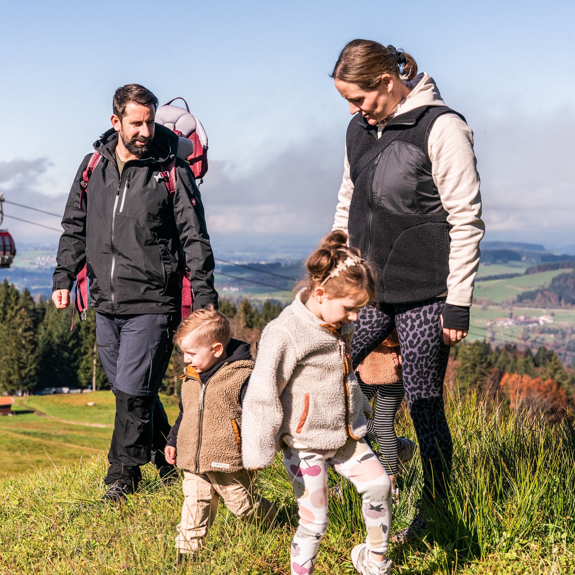
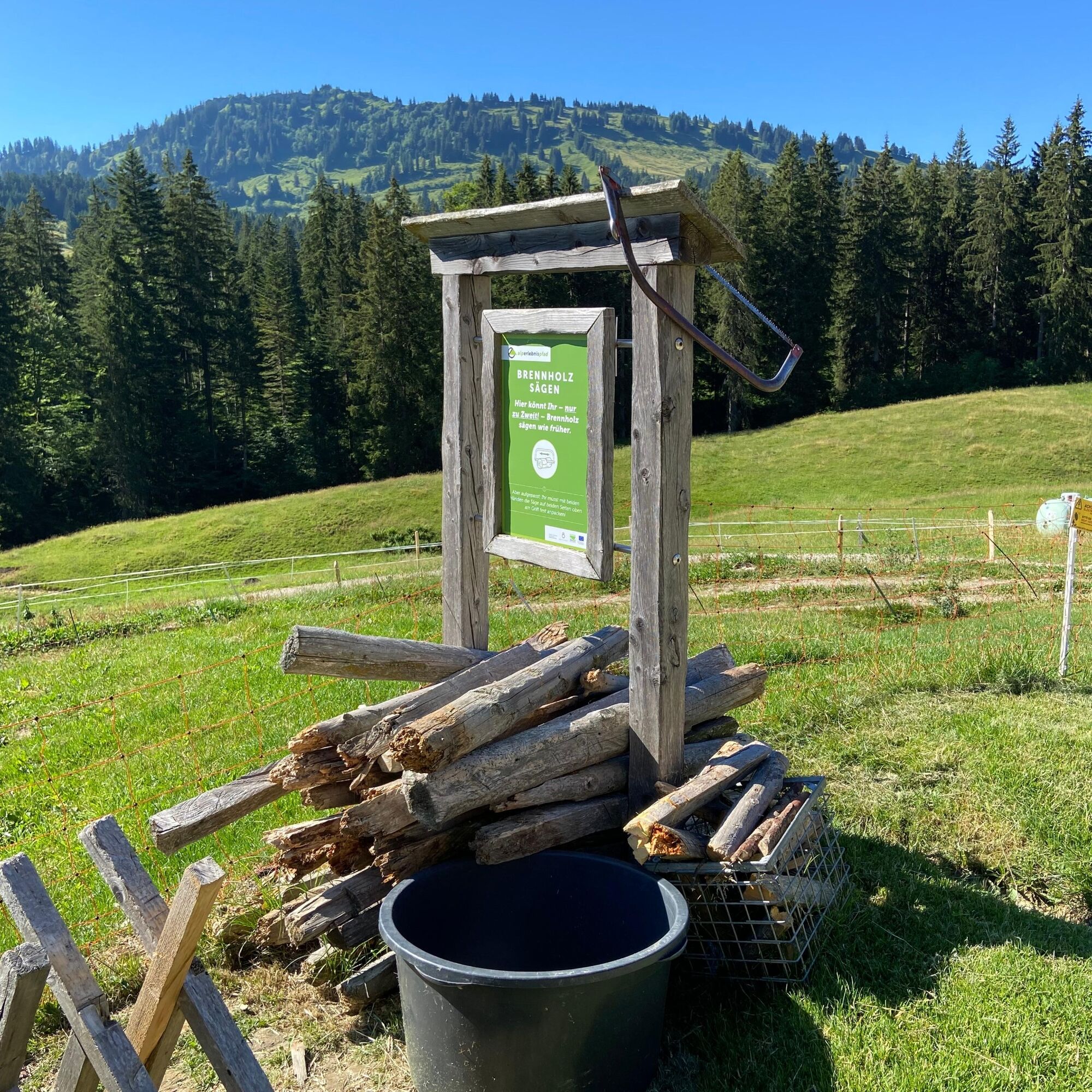

From the mountain station of the Imbergbahn, initially go west through a forest. At its end, the circular hiking trail begins and you follow the signage of the alpine adventure path. Above Alpe Hochbühl, the trail goes sometimes uphill, sometimes downhill over Alpe Häusslers Gschwend. You repeatedly come across stations that provide information about the region and alpine farming. At the next fork after Alpe Glutschwanden, turn left and cross the raised bog to the other side of the high plateau. At Alpe Hochwies, a path branches off downhill, which you follow. It goes down to Lanzenbach and across a bridge you meet a paved road a few hundred meters further, on which in summer a bus shuttles between the Imberg mountain station and Alpe Hörmoos. Turning left, it now goes steeply uphill again on a hiking trail to Alpe Hochbühl. From here a short stretch on the road until you return to the starting point through the forest on the right-hand side.
Áno
Áno
Áno
Áno
Via the B 308 to Oberstaufen and further to Steibis until the Imbergbahn
From the train station by guest bus to Steibis
Parking at the Imbergbahn
T1
 Získajte prehľad
Vždy naživo na mieste s viac ako 9 500 webovými kamerami. bergfex Ako používateľ Pro si teraz môžete pozrieť príslušné webové kamery pre mnohé zájazdy v aplikácii zájazdy z. Môžete si tak priamo prezerať aktuálne podmienky.
Získajte prehľad
Vždy naživo na mieste s viac ako 9 500 webovými kamerami. bergfex Ako používateľ Pro si teraz môžete pozrieť príslušné webové kamery pre mnohé zájazdy v aplikácii zájazdy z. Môžete si tak priamo prezerať aktuálne podmienky.
Obľúbené výlety v okolí
-
4,7
Winterstaude
strednáTuristika 9,30 km -
4,5
Steibis - Buchenegger Waterfalls
strednáTuristika 6,47 km -
4,6
Hittisau | Wasserwanderweg
svetloTematická trasa 7 km -
4,7
Rindalphorn und Hochgrat
strednáTuristika 15,6 km -
4,6
Panoramarundweg Baumgarten - Niedere
svetloTuristika 3,76 km -
5,0
Nagelfluh ridge route Hochgrat - Mittag
ťažkéTuristika 14,0 km -
3,5
Rundtour Mittag
svetloTuristika 15,7 km -
4,5
Circular route Hündle to the Buchenegger Waterfalls
strednáTuristika 9,69 km -
4,4
Circular route Steibis to Dreiländerblick
strednáTuristika 7,95 km -
4,9
Egg | Falzalpenrundwanderung Schetteregg
svetloTuristika 6,40 km
Turistika a stopovanie


Nenechajte si ujsť ponuky a inšpiráciu na ďalšiu dovolenku
Vaša e-mailová adresa bol pridaný do poštového zoznamu.





