


"Spreunersberg - Quarries - Donkey Path - Fechenbach Valley" - CF1


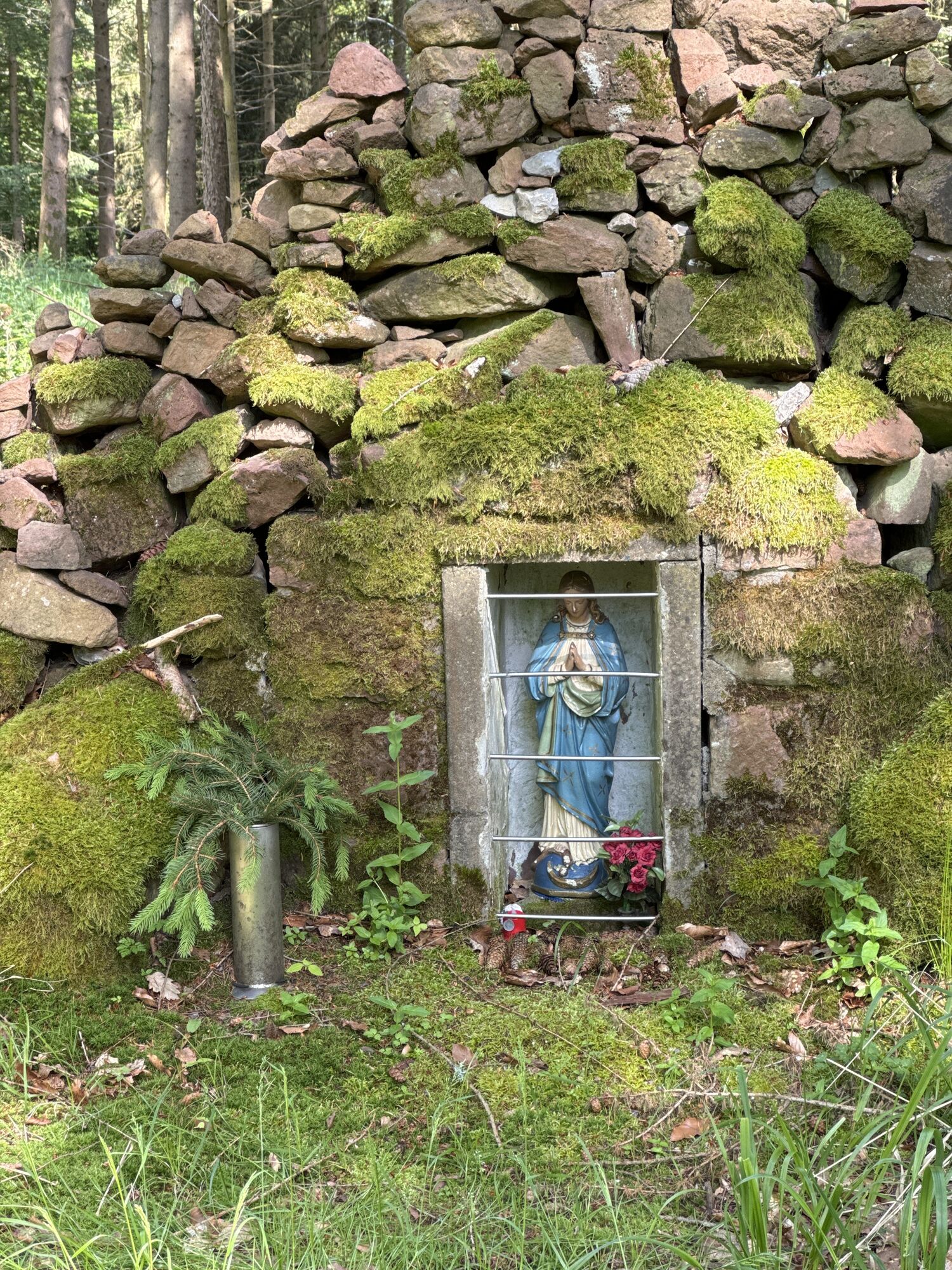

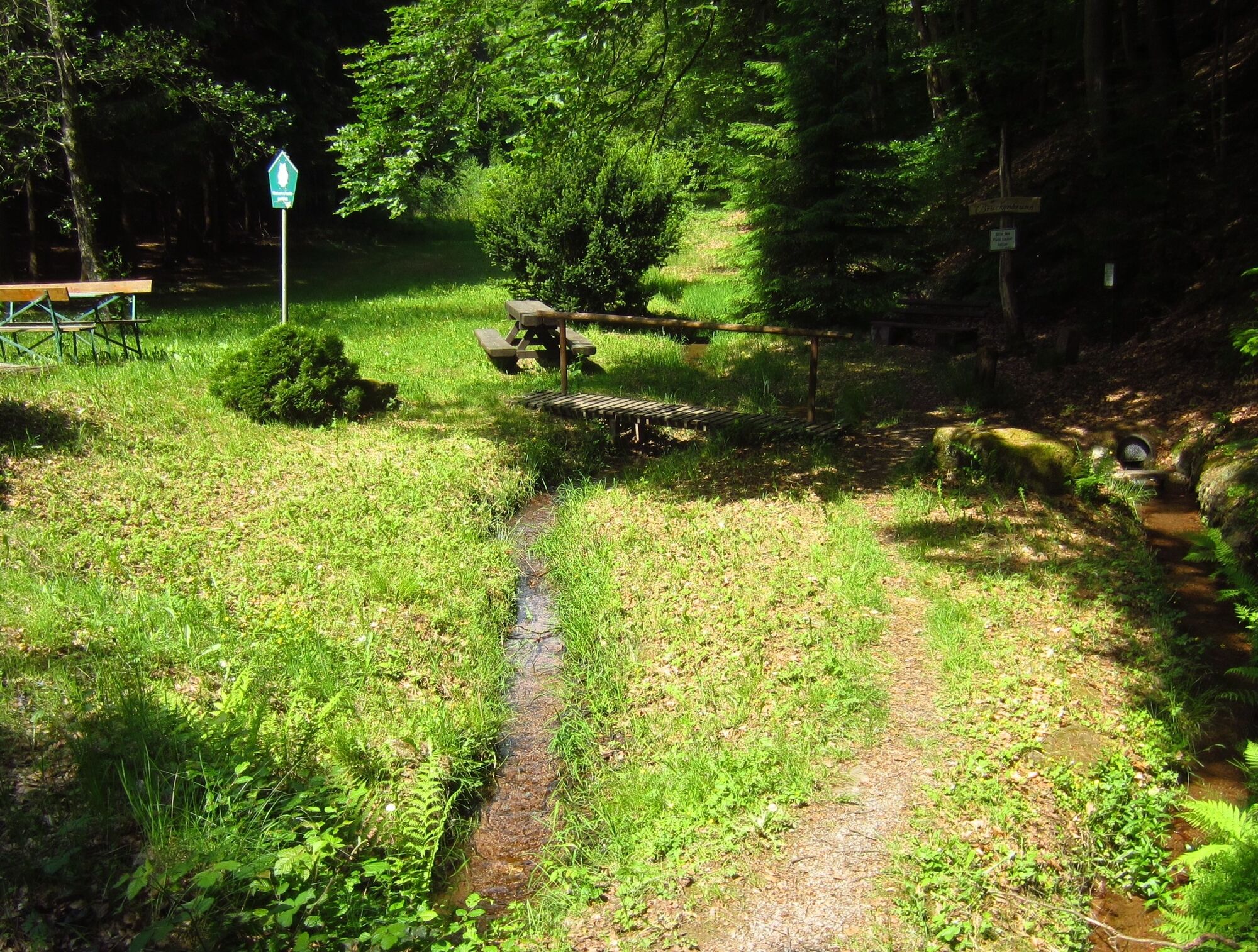
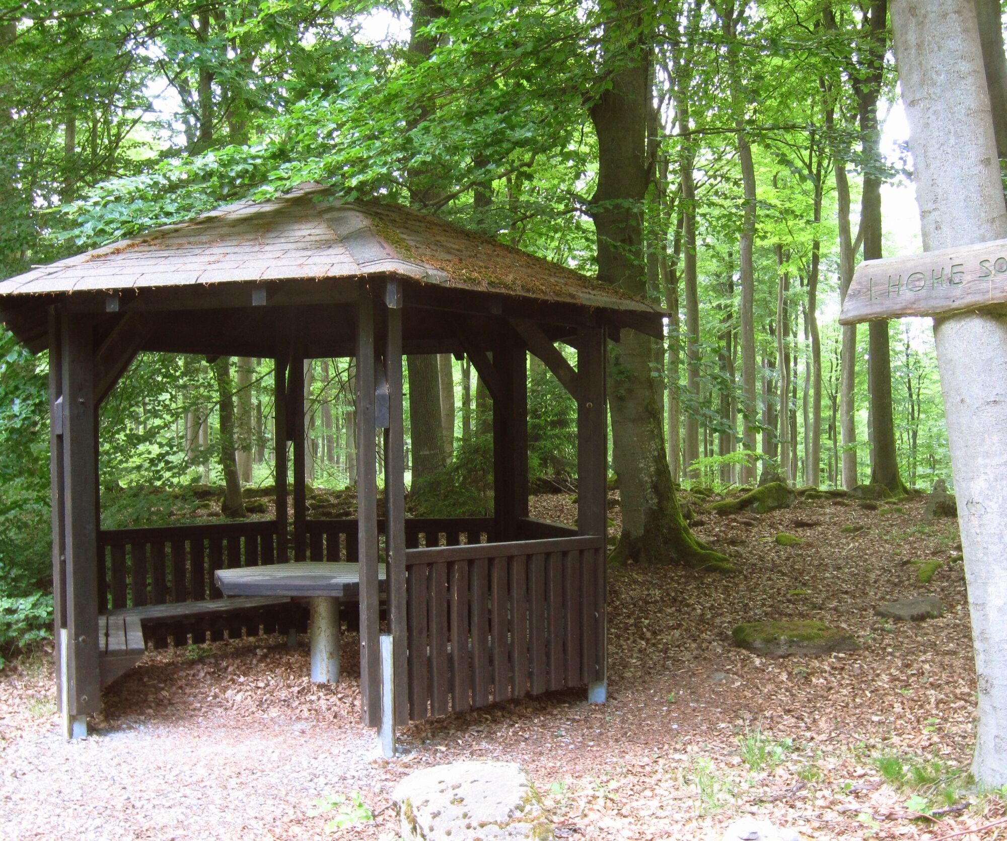
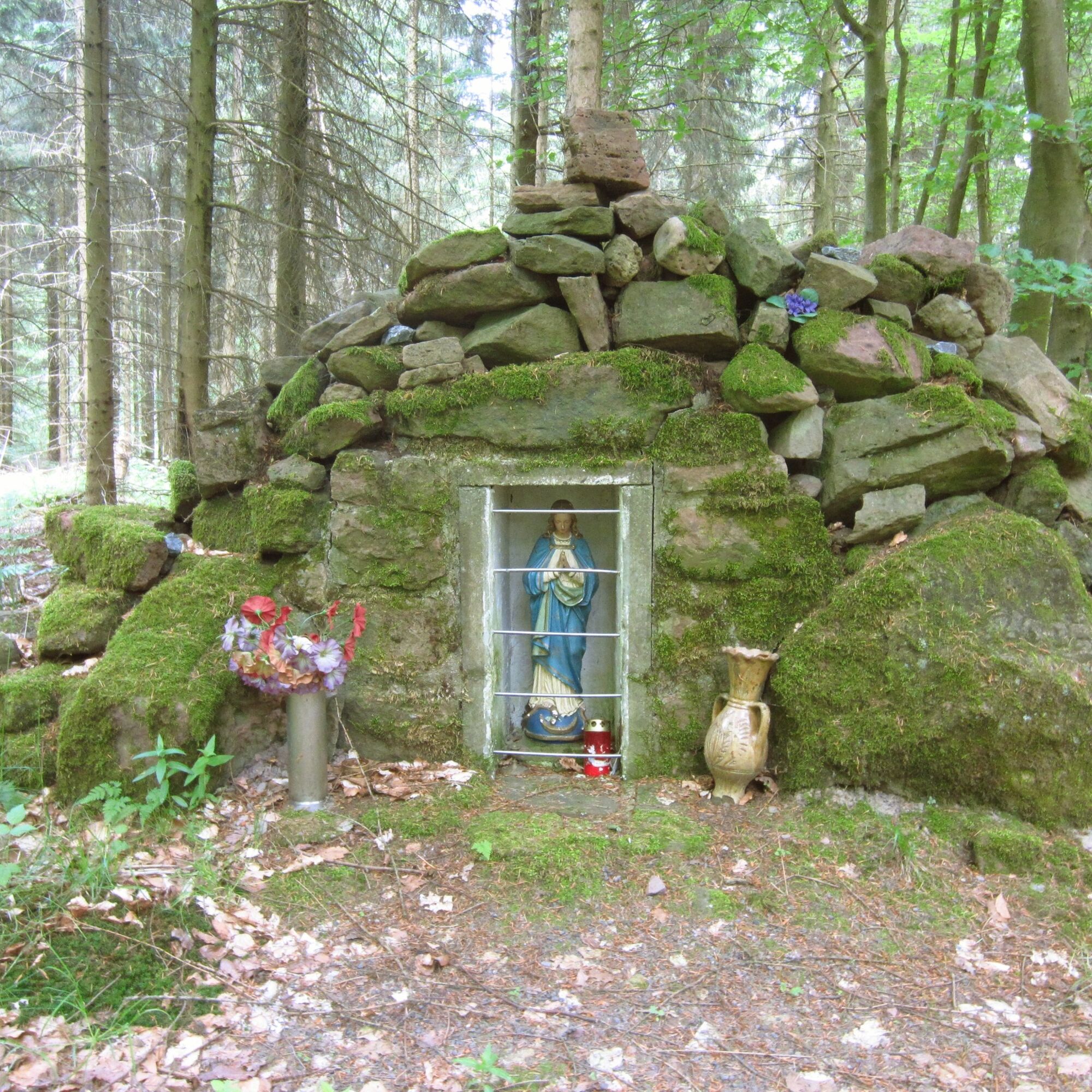
From the town hall, we go right past the church and through the small gate onto the path running directly along the Fechenbach stream until it joins the Spessartbund hiking trail (red cross on white background), which leads past the Schützenhaus into the valley bottom of the Fechenbach valley. Passing the Schützenhaus and the hiking parking lot (alternative starting point), the path goes gently uphill through the meadow valley and winds along the forest edge to the Brückenbrunnen, where benches invite you to rest and refill your water supplies. The path continues uphill after crossing the stream until we follow the left turn marked "Work Safety Hut." We follow the forest path until it joins the "Steinweg" (Stone Way), where we continue right until it makes a sharp left hairpin bend uphill leading to the Donkey Path, which we reach at the "Shelter at Hohe Sohl." We turn left, reach the Mariengrotto on the left after a few meters, leave the Donkey Path going right there, and keep left where the gravel path leads us back into the high forest. Following the path, we reach the base stone for the blacksmith's anvil at the fork, who until the beginning of the 20th century sharpened the tools for the stonemasons working in the high quarries. At the "Anvil," we leave the gravel path to the right and continue along the path past the scree slopes of the old quarries, which we can enter on the left. We follow the main path downhill over four switchbacks and have a beautiful view over the Main valley at a hut. Alternatively, at the fourth switchback leading left, you can continue straight ahead onto connection V3, which leads us to district road MIL2, along it about 100 m downhill, and from there right onto the new forest path leading us to the CR2 route. The CF1 route continues downhill, where the path offers a nice view of the Main valley at a wooden hut. Shortly after, the path emerges from the forest into open orchard meadows. We follow it downhill, reach the paved path, which leads us further to the "Gänsbild" and past a sheep farm through a forest path back to the starting point.
Áno
Coming from Würzburg via the A3 (exit Wertheim or Marktheidenfeld and then along the right bank of the Main through the southern Spessart), from Frankfurt via Miltenberg towards Wertheim and in Freudenberg crossing to the Main side, you are already in Collenberg-Kirschfurt and drive 5 km further to the Fechenbach district.
By train from the direction of Miltenberg or Wertheim to the Collenberg stop, from there a 5-minute walk to the town hall
Car parking at the town hall or at the cemetery in Fechenbach; when starting at the Schützenhaus, use the nearby hiking parking lot.
Obľúbené výlety v okolí
-
3,0
Elsenfeld district Rück: Across the vineyards past the Red Cross to Hofstetten, return over the Hochberg to the parking lot
ťažkéTuristika 10,6 km -
5,0
Dorfprozelten: Kollenburg-Chapel-Route
strednáTuristika 11,8 km -
South Spessart Trail
ťažkédiaľková pešia trasa 60,8 km -
Franconian Mary’s Way in the southern Spessart
strednádiaľková pešia trasa 25,6 km -
Buntsandsteinweg Etappe 1 - Miltenberg
svetloTuristika 4,65 km -
Stadtprozelten: Nature and Stone Monuments - Circular Route 2
strednáTuristika 11,5 km -
Elsenfeld: To Hofstetten via Hochberg and the Rücker vineyards back to the car park
ťažkéTuristika 11,1 km -
LT 2 Romantic Wildbachtal
ťažkéTuristika 16,8 km -
Hiking trail Faulbach-A
strednáTuristika 9,27 km -
Bildstockweg Faulbach - Breitenbrunn
svetloTuristika 6,01 km
Turistika a stopovanie


Nenechajte si ujsť ponuky a inšpiráciu na ďalšiu dovolenku
Vaša e-mailová adresa bol pridaný do poštového zoznamu.