







Dorfprozelten: Kollenburg-Chapel-Route


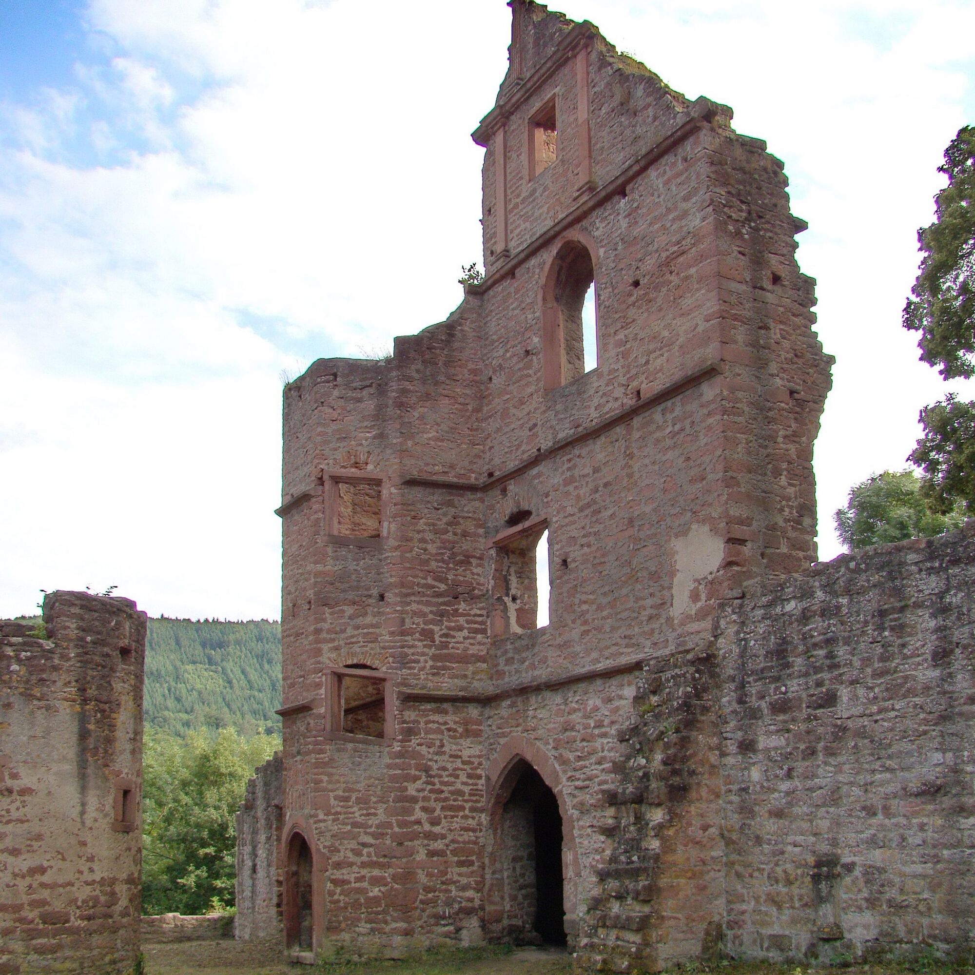
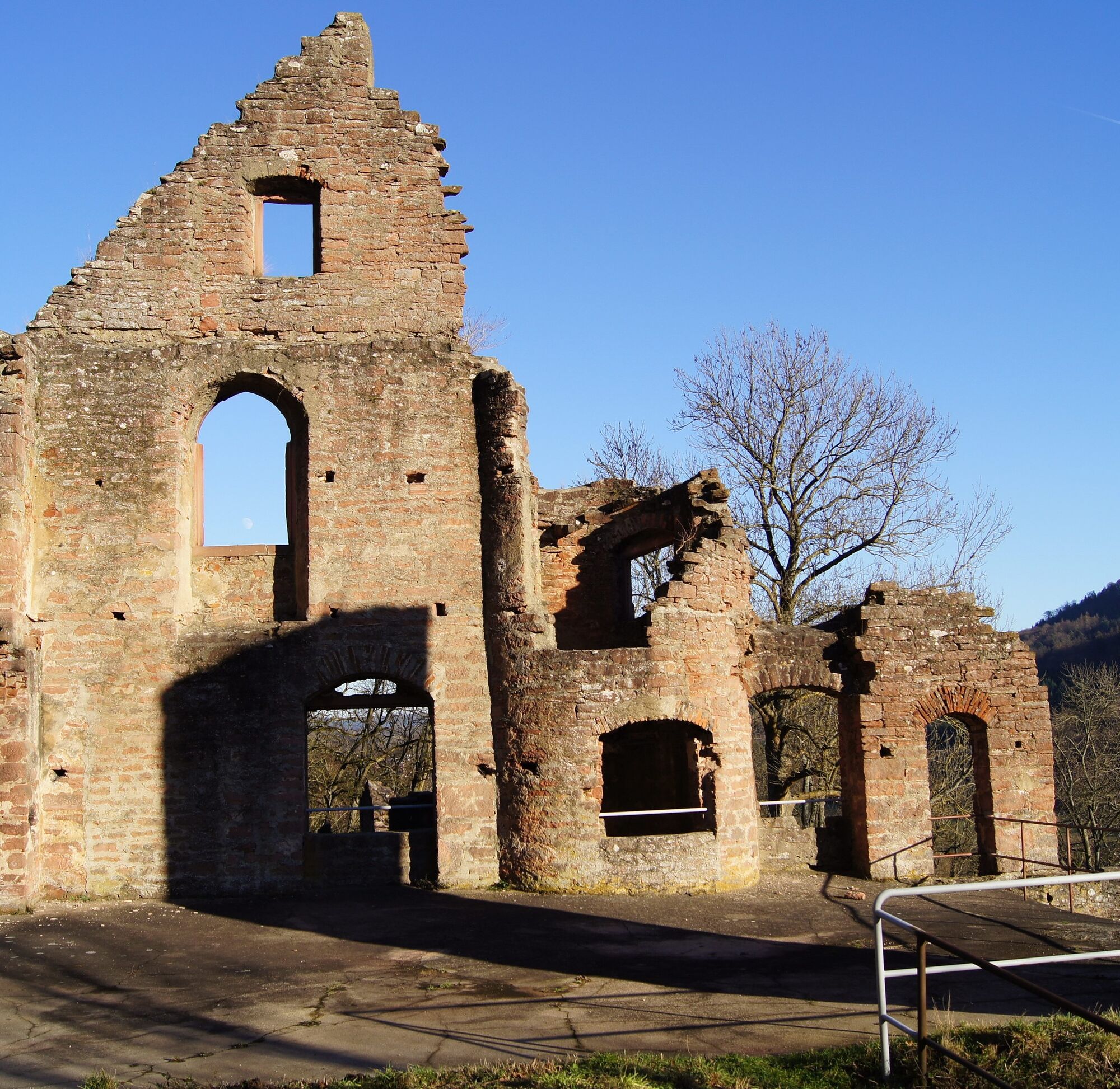
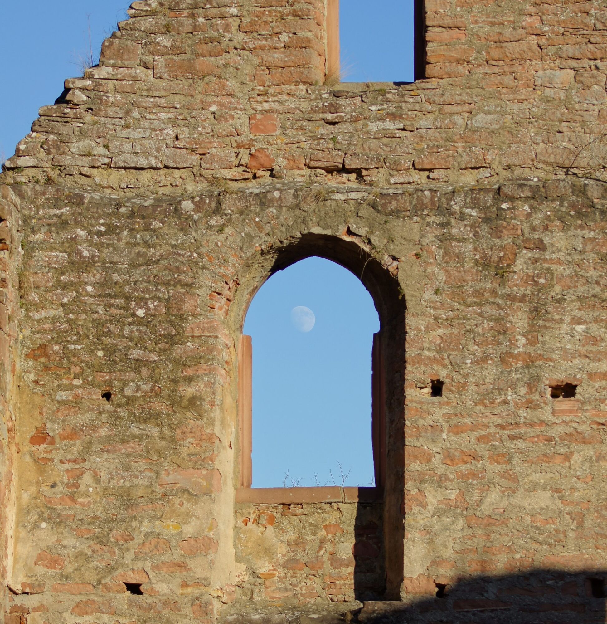
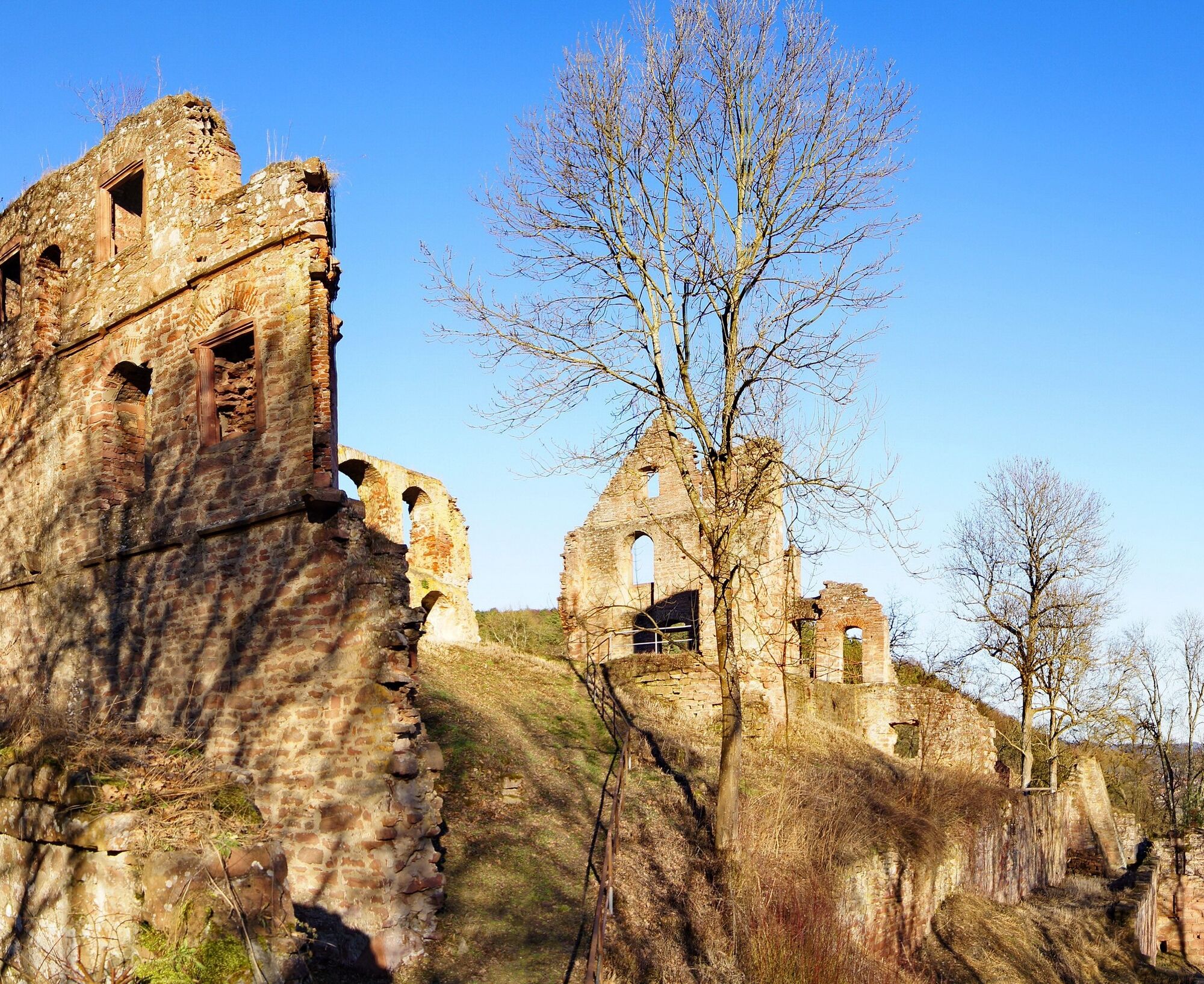
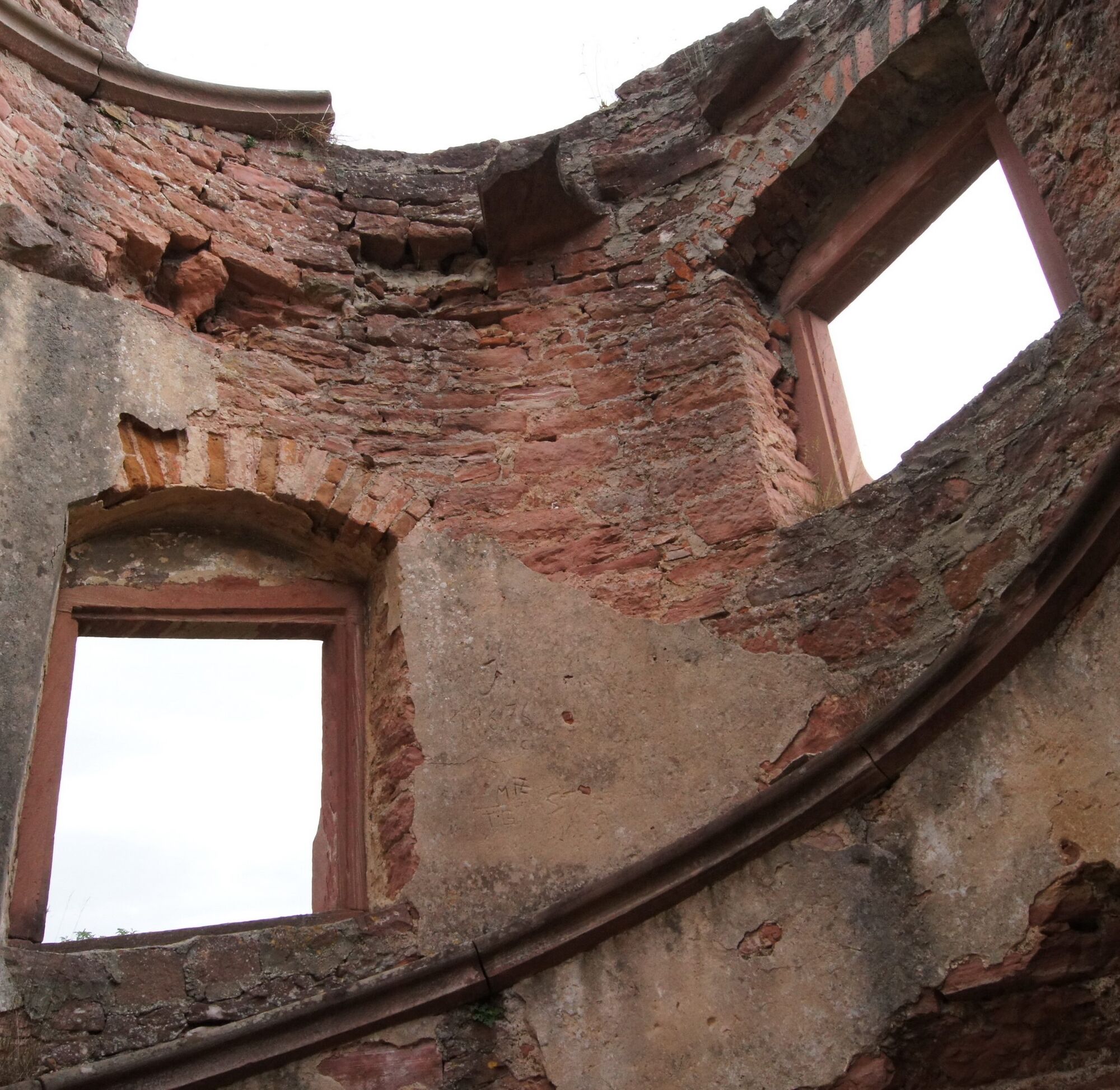
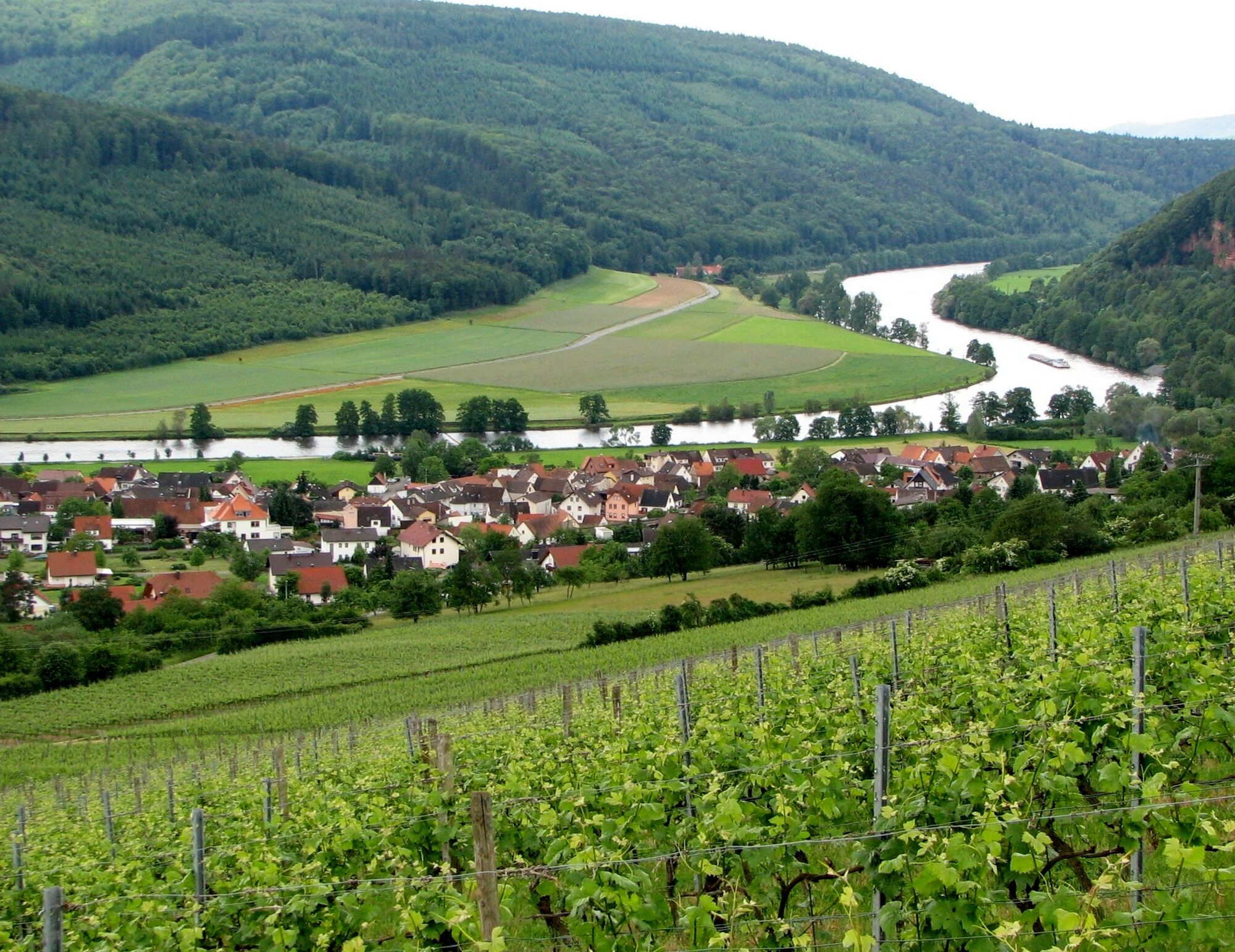
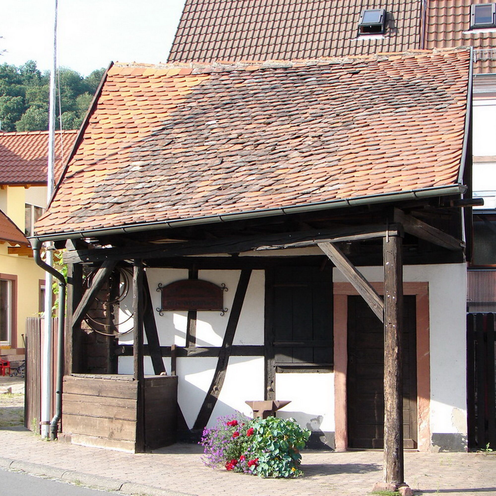
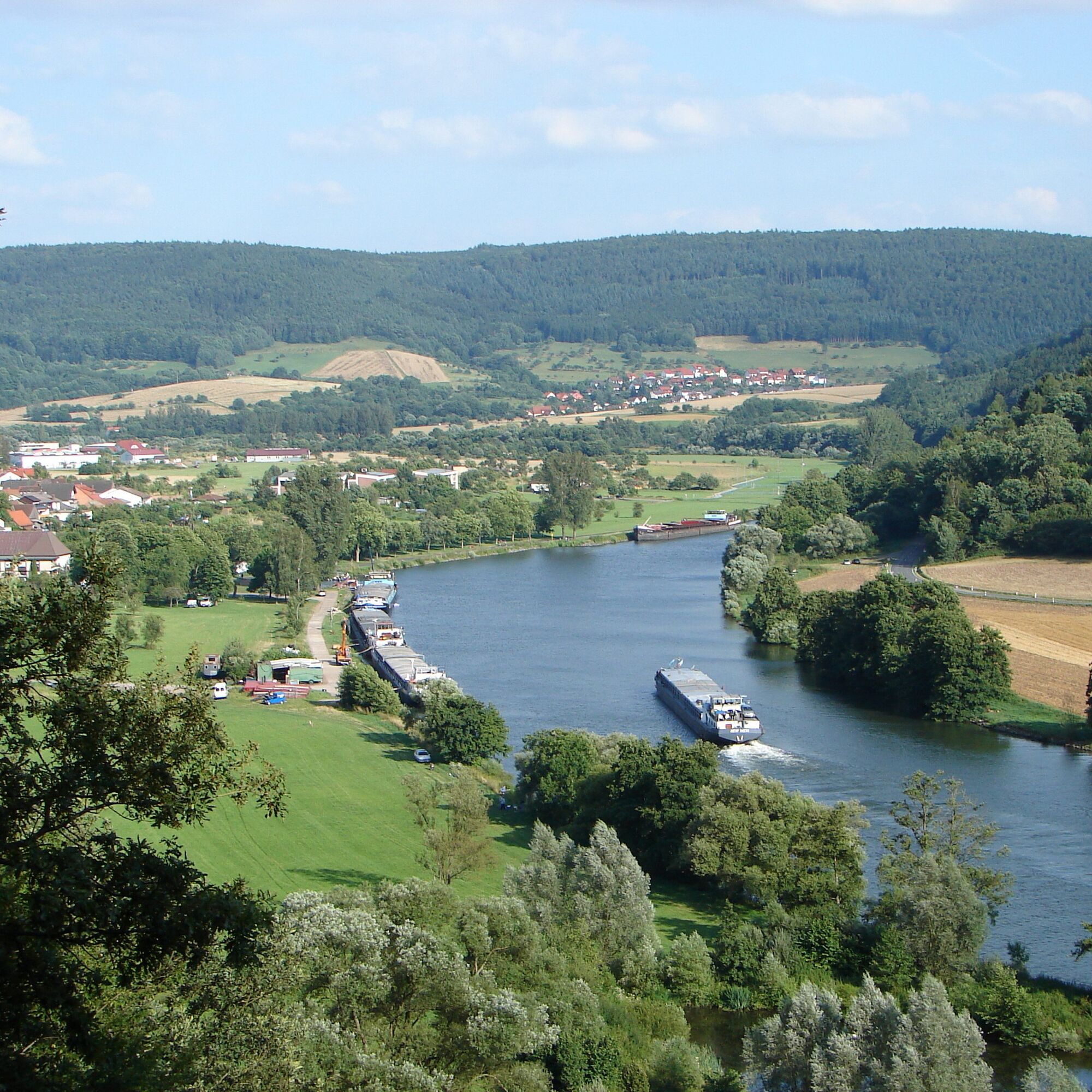

You follow the "D1" marker to the Steingasse signpost and from there steeply uphill on the Franconian Marian Way. Once you reach the top (signpost), turn left and walk above the stone bridge towards the west. Here there is a small side path that leads to the viewpoint "Heimatblick". The Franconian Marian Way then leads you steeply downhill over switchbacks to a valley notch and back up to the ruins of Kollenburg.
Here you look for the castle entrance and find the path "C2" there. This leads you steeply but picturesquely along the edge of the forest.
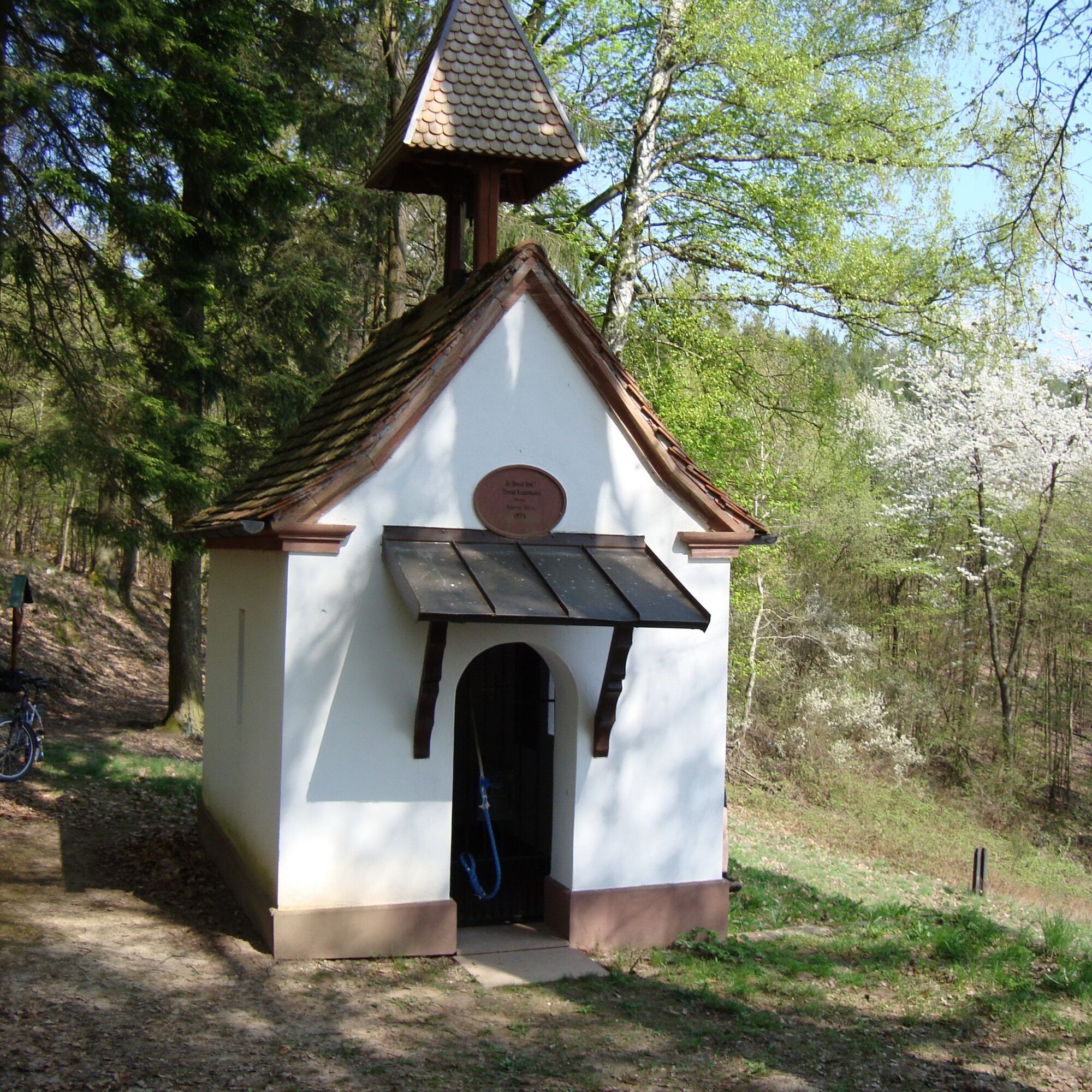
At the Fechenberg signpost, follow the "D2" signage until you reach a shelter. At the signpost, turn right onto the "D1". If you see wooden boards marked "Chapel", you are on the right path. From now on, it gently goes downhill until you reach the junction "D3". Here there is the option to make a short visit to the old war memorial chapel. Follow the "D3" here until you meet the "D1" again. Alternatively, you can go back to the "D1" path and take the "Way of the Cross". In the valley, the "D1" marking leads you back to the car park.
Coming from Frankfurt on the A3, take the Stockstadt/Großostheim exit, then continue on the B469 towards Miltenberg, take the Obernburg/Elsenfeld exit and via Mönchberg to Dorfprozelten
From there about 3 minutes on foot to the start point of the route.
Hiking car park on the Main
Very challenging route


Obľúbené výlety v okolí
-
"Of Clay, Stones and Shards"
strednáTuristika 8,31 km -
5,0
Roman Route in Miltenberg M1
ťažkéTuristika 15,3 km -
4,0
Around the Kaffelstein
svetloTuristika 4,71 km -
MainRadweg Wertheim bis Miltenberg
Cyklistika 35,7 km -
4,0
European cultural route: "From Hecke to Häcke in Hebboch"
strednáTuristika 10,2 km -
Nibelungensteig - 6th stage from Miltenberg to Amorbach
ťažkéTuristika 13,2 km -
Miltenberg - Engelberg Monastery - Kleinheubach Castle - round trip
ťažkéTuristika 12,6 km -
3,0
Franconian Red Wine Hiking Route - 4th stage from Erlenbach to Klingenberg
svetloTuristika 4,08 km -
5,0
Klingenberg: Hiking Trail Schnepfe
strednáTuristika 5,03 km -
4,5
Ottostein Route M2
strednáTuristika 6,84 km

Turistika a stopovanie


Nenechajte si ujsť ponuky a inšpiráciu na ďalšiu dovolenku
Vaša e-mailová adresa bol pridaný do poštového zoznamu.





