







Nibelungensteig - 6th stage from Miltenberg to Amorbach
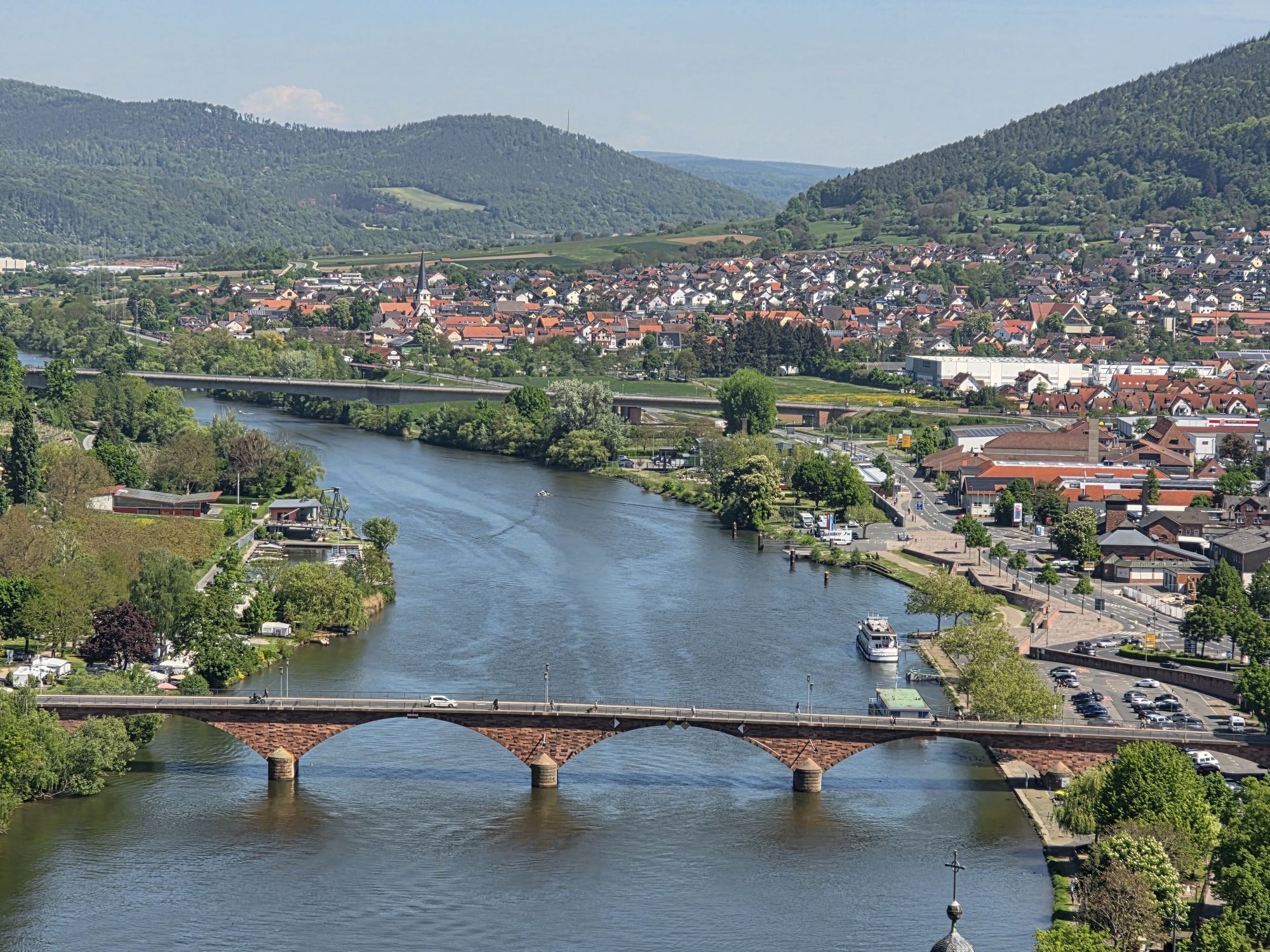
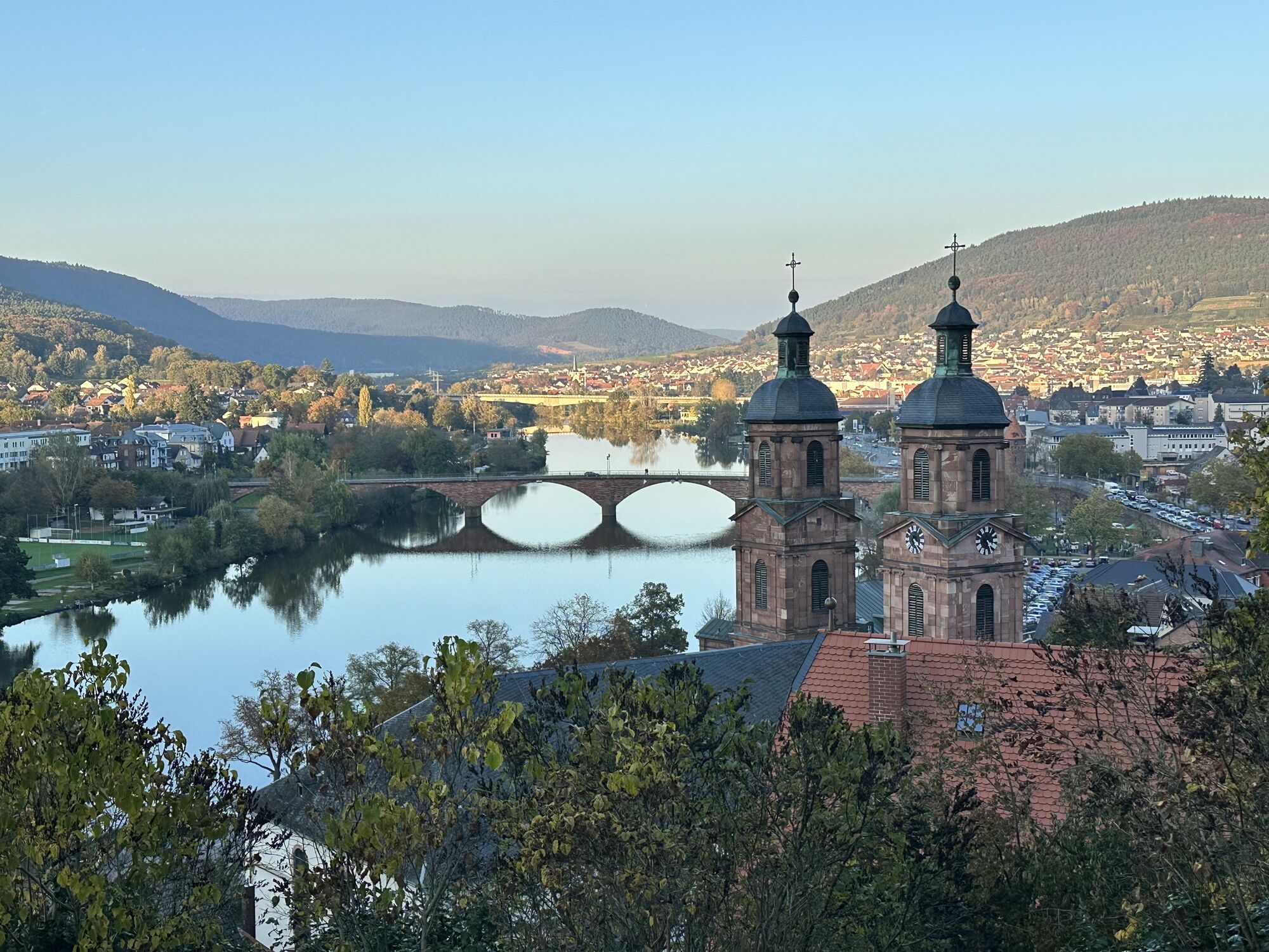
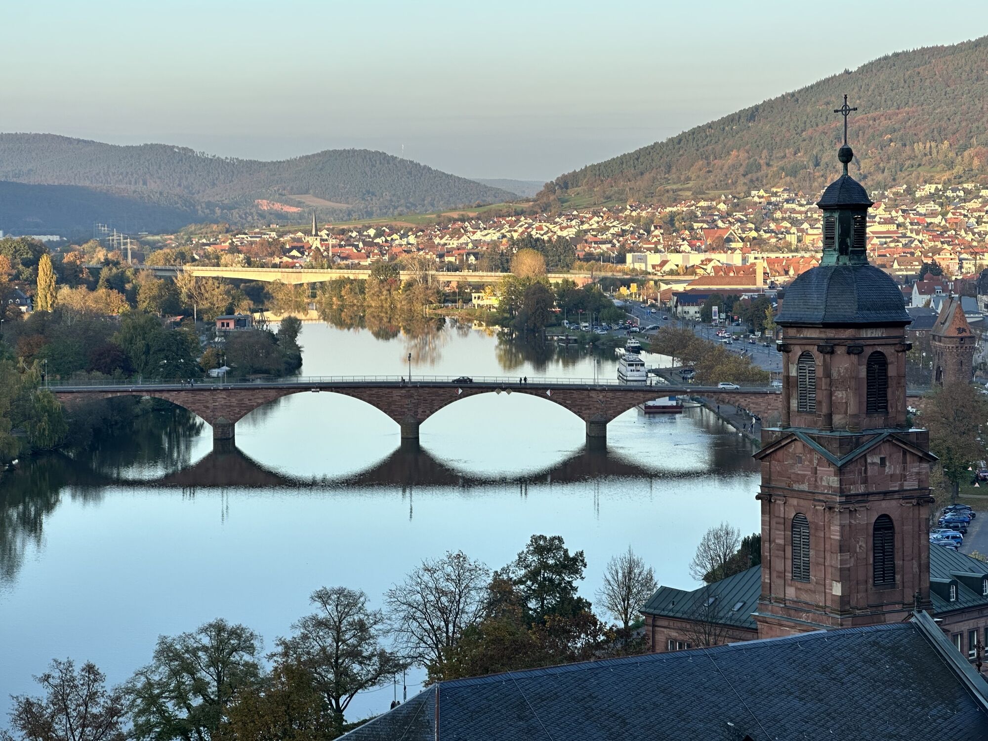

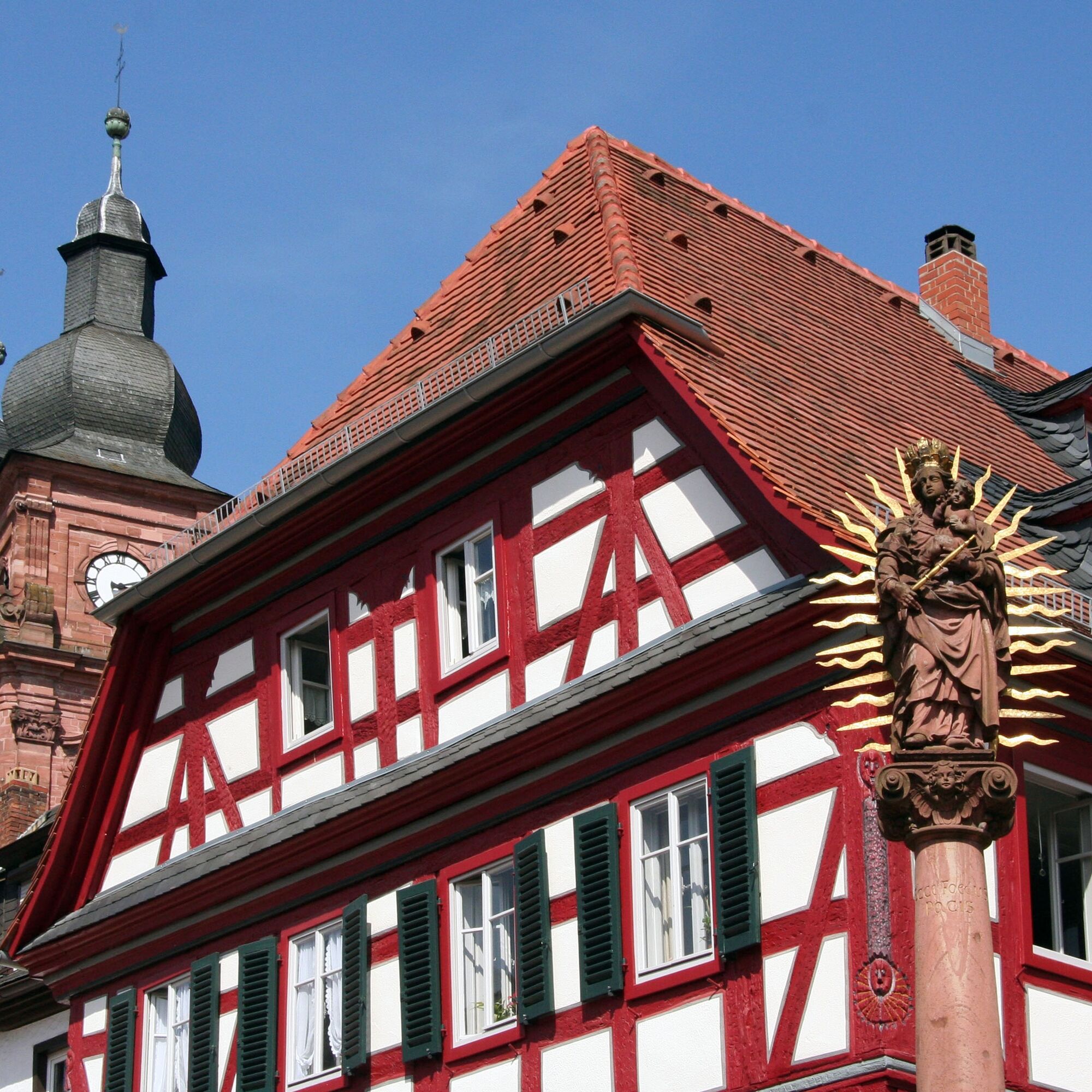

Miltenberg - Market Square
Height: 130 m
Kilometers: 0
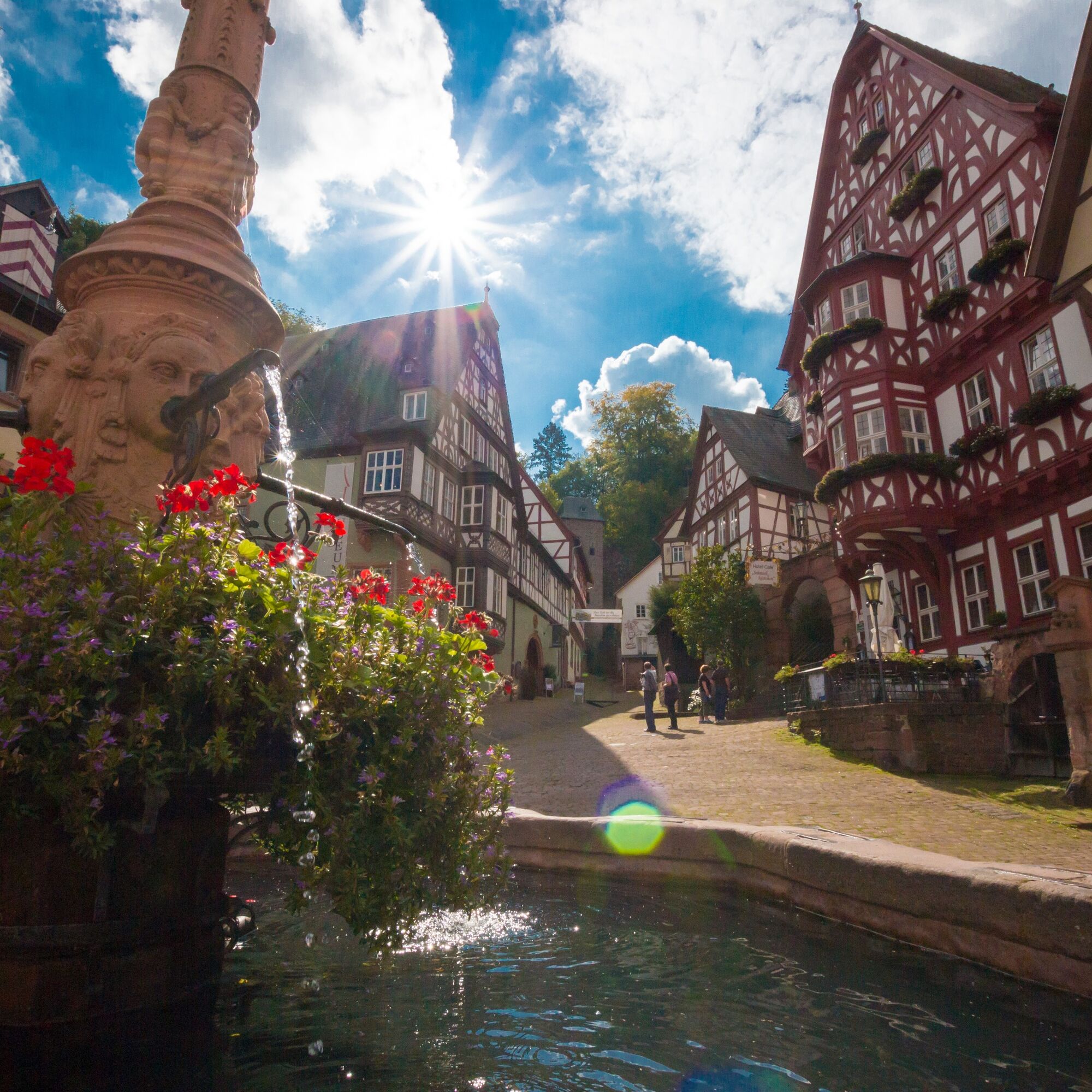
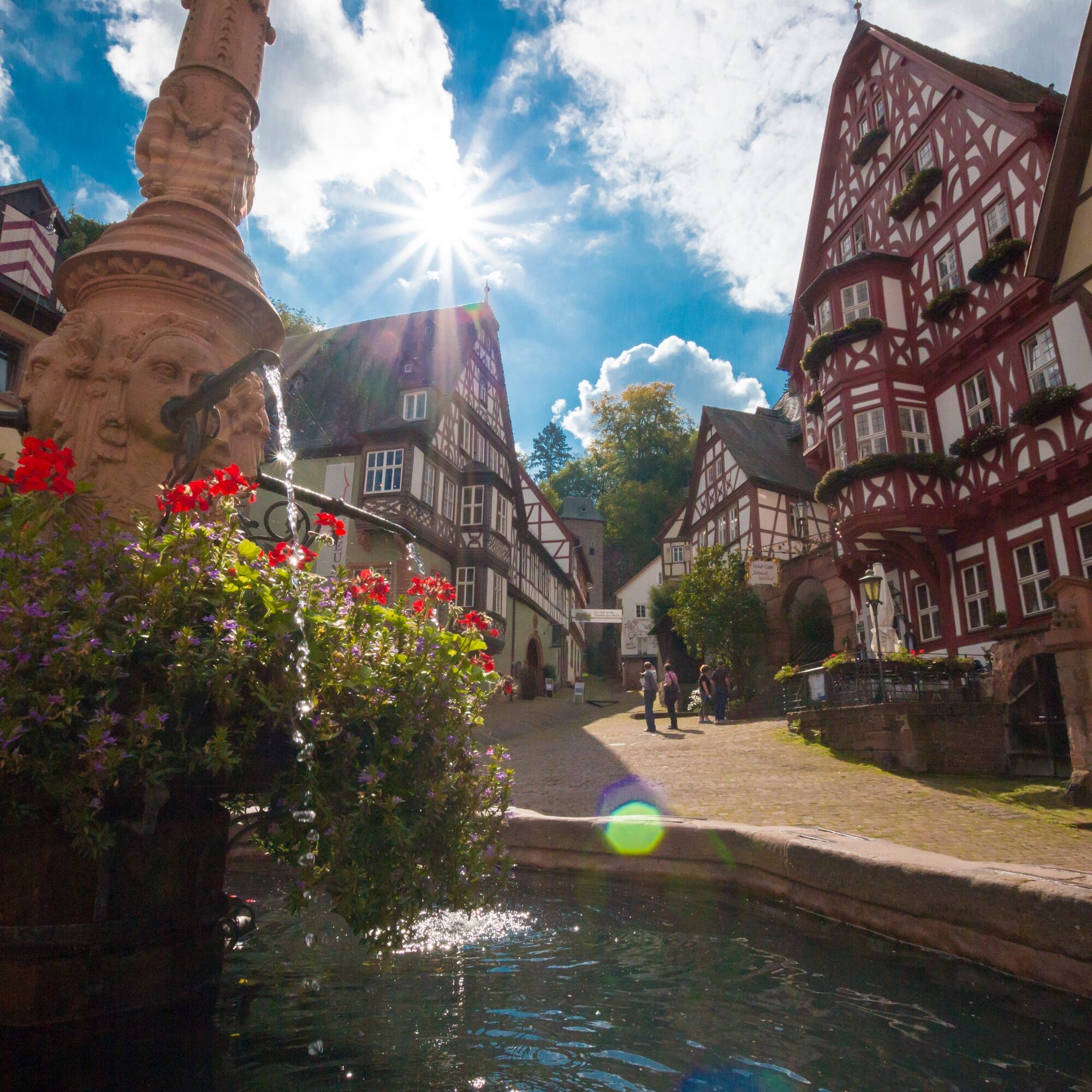
The hike begins at the historic Market Square, the so-called “Schnatterloch”. Here is the market fountain, created in 1583 by the Miltenberg sculptor Michael Junker from red sandstone. The half-timbered houses also impress the viewer, such as a building dating from around 1500, which today houses the wine tavern “Am Alten Markt” and which was inhabited during the Thirty Years' War by the then centgraf.
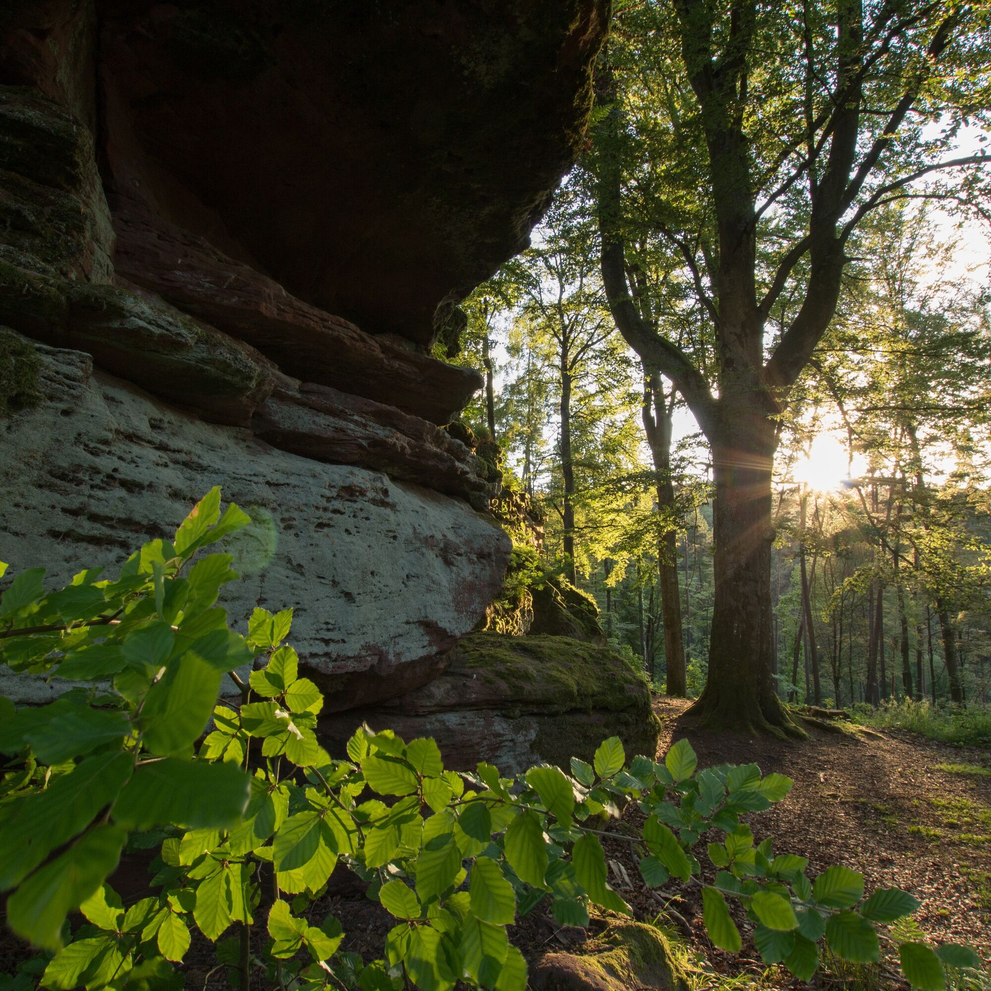
The Nibelungensteig leads through the impressive southern town tower, from which you directly enter the forest up the hill. Over the Schlossberg, it goes up to the Celts' rampart.
Celts' rampart
Height: 452 m
Kilometers: 3.3
This is a fortification probably built in the late Bronze Age between 1200 and 700 BC and further expanded in Celtic times from 700 BC.
The Nibelungensteig then leads south through the small village of Monbrunn and afterwards to Reuenthal.
Reuenthal
Height: 212 m
Kilometers: 7.8
From Reuenthal, the Nibelungensteig leads southwest up to Gotthardsberg.
Gotthard Ruins
Height: 302 m
Kilometers: 10.2
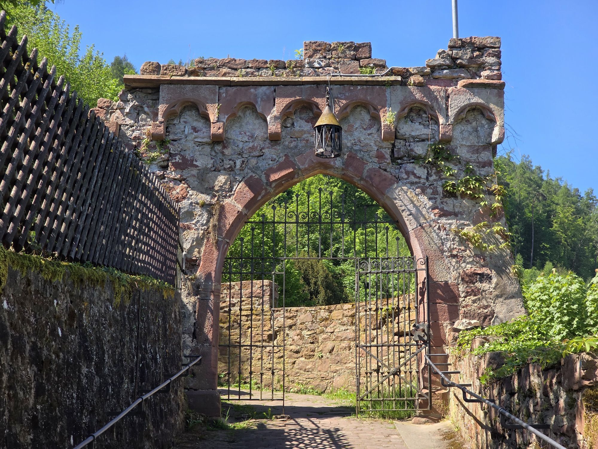
On Gotthardsberg is the ruin of a three-aisled pillar basilica, the last remains of a nunnery founded in the 13th century and dissolved in 1439. The tower of the basilica is accessible. Hikers here can enjoy views of the Amorbach Abbey Church, the Amorsbrunn chapel, and also northwards to the neighboring town Weilbach.
The Nibelungensteig now descends past the Baroque town of Amorbach.
Amorbach
Height: 170 m
Kilometers: 13.4
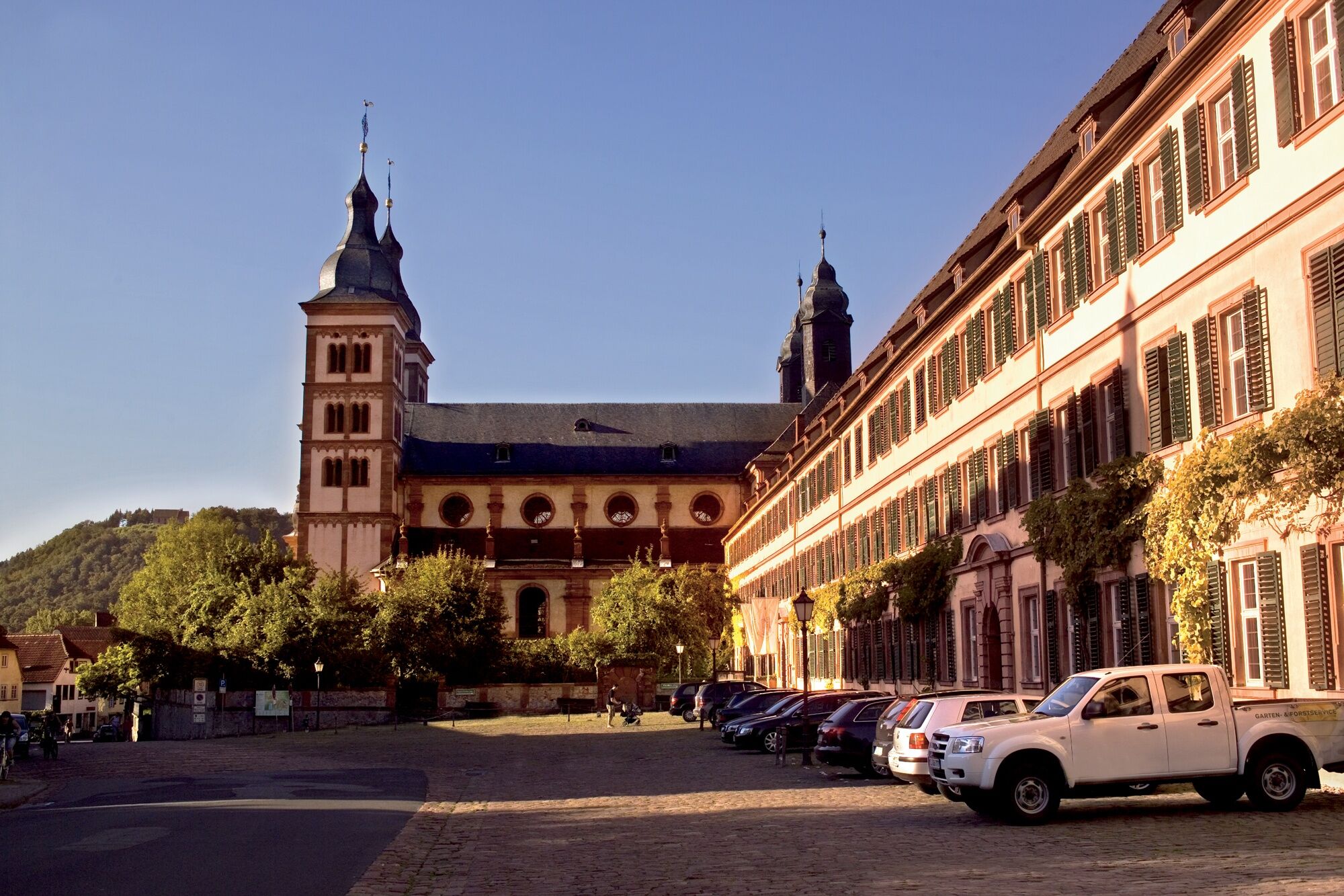
Especially worth seeing in Amorbach is the abbey church, which is one of the most impressive examples of German Rococo architecture, and is now owned by the Principality of Leiningen. Notable stuccoists and artists from the Bavarian region contributed to the bright, light-flooded design. The church organ built from 1774 to 1782 by the brothers Johann Philipp and Johann Heinrich Stumm from Rhaunen-Sulzbach (Hunsrück) has gained special fame; it features over 5116 pipes and a carillon offering an enormous range of sound.
A3 to Stockstadt exit, continue on B469 towards Miltenberg. Or A3 to Marktheidenfeld exit, continue on B469 towards Aschaffenburg via Miltenberg
Coming from the direction of Aschaffenburg or Wertheim to the Miltenberg stop
Parking spaces along the Main are available
Obľúbené výlety v okolí
-
4,0
Amorbach Waldromantikweg aka. A9
strednáTuristika 9,95 km -
"Of Clay, Stones and Shards"
strednáTuristika 8,31 km -
5,0
Dorfprozelten: Kollenburg-Chapel-Route
strednáTuristika 11,8 km -
5,0
Roman Route in Miltenberg M1
ťažkéTuristika 15,3 km -
4,0
European cultural route: "From Hecke to Häcke in Hebboch"
strednáTuristika 10,2 km -
5,0
Rüdenau mountain hike R1
ťažkéTuristika 13,8 km -
Miltenberg - Engelberg Monastery - Kleinheubach Castle - round trip
ťažkéTuristika 12,6 km -
MainRadweg Wertheim bis Miltenberg
Cyklistika 35,7 km -
3,0
Franconian Red Wine Hiking Route - 4th stage from Erlenbach to Klingenberg
svetloTuristika 4,08 km -
5,0
Klingenberg: Hiking Trail Schnepfe
strednáTuristika 5,03 km
Turistika a stopovanie


Nenechajte si ujsť ponuky a inšpiráciu na ďalšiu dovolenku
Vaša e-mailová adresa bol pridaný do poštového zoznamu.





