







Roman Route in Miltenberg M1
Úroveň náročnosti: T1
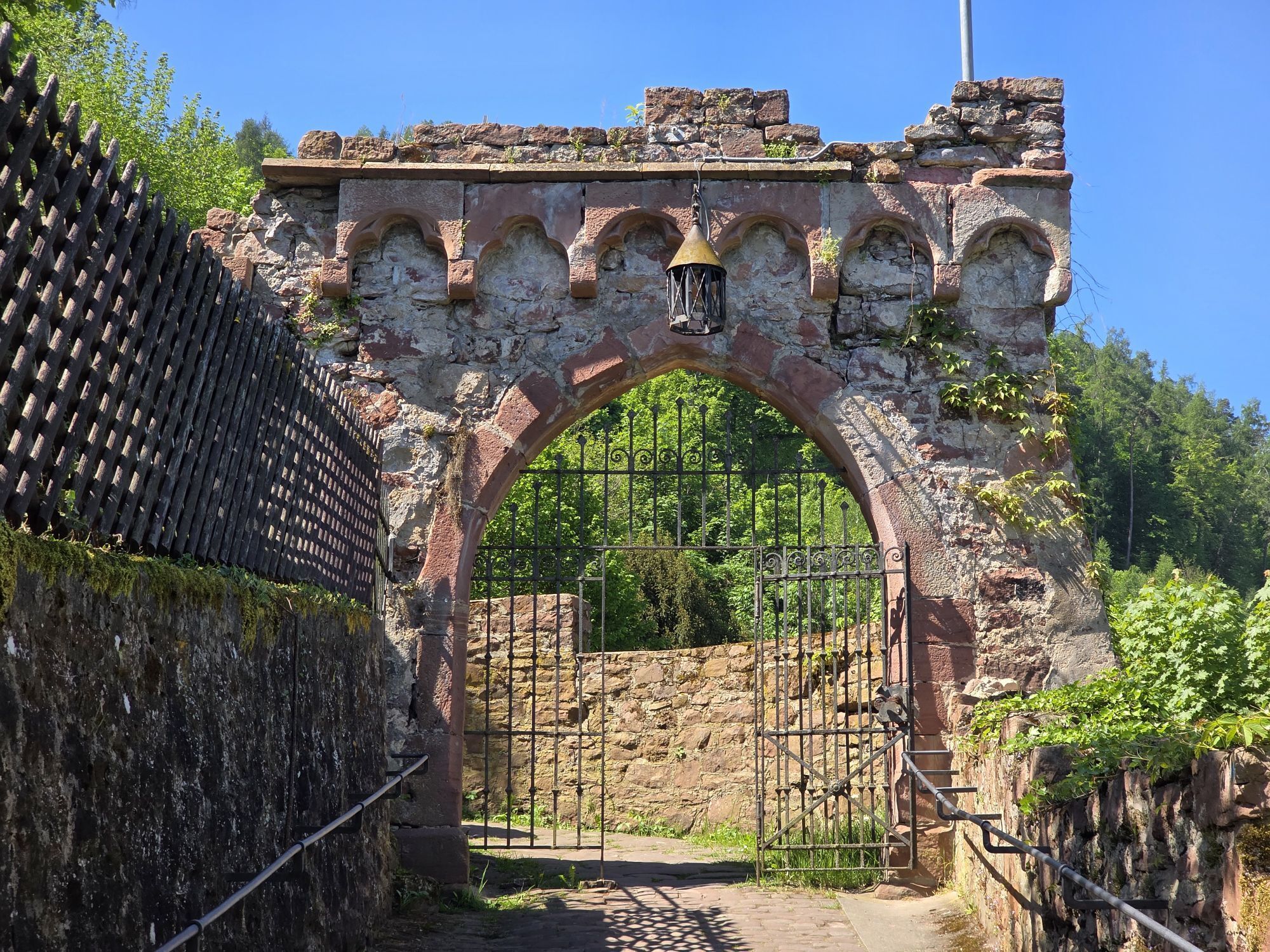
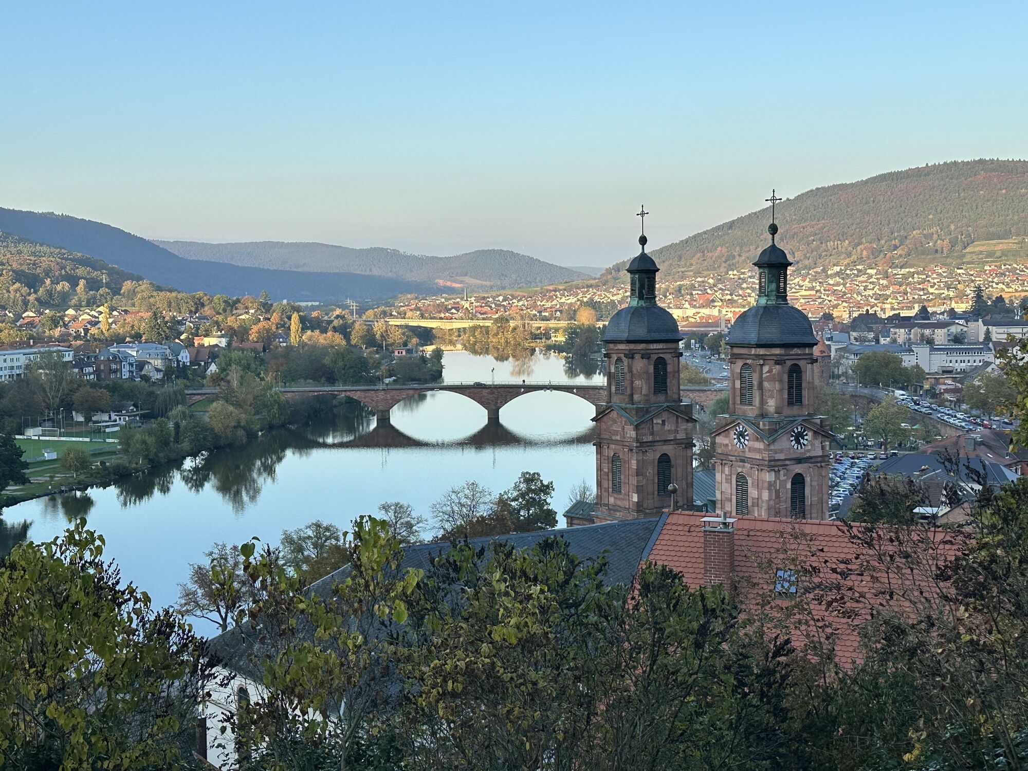
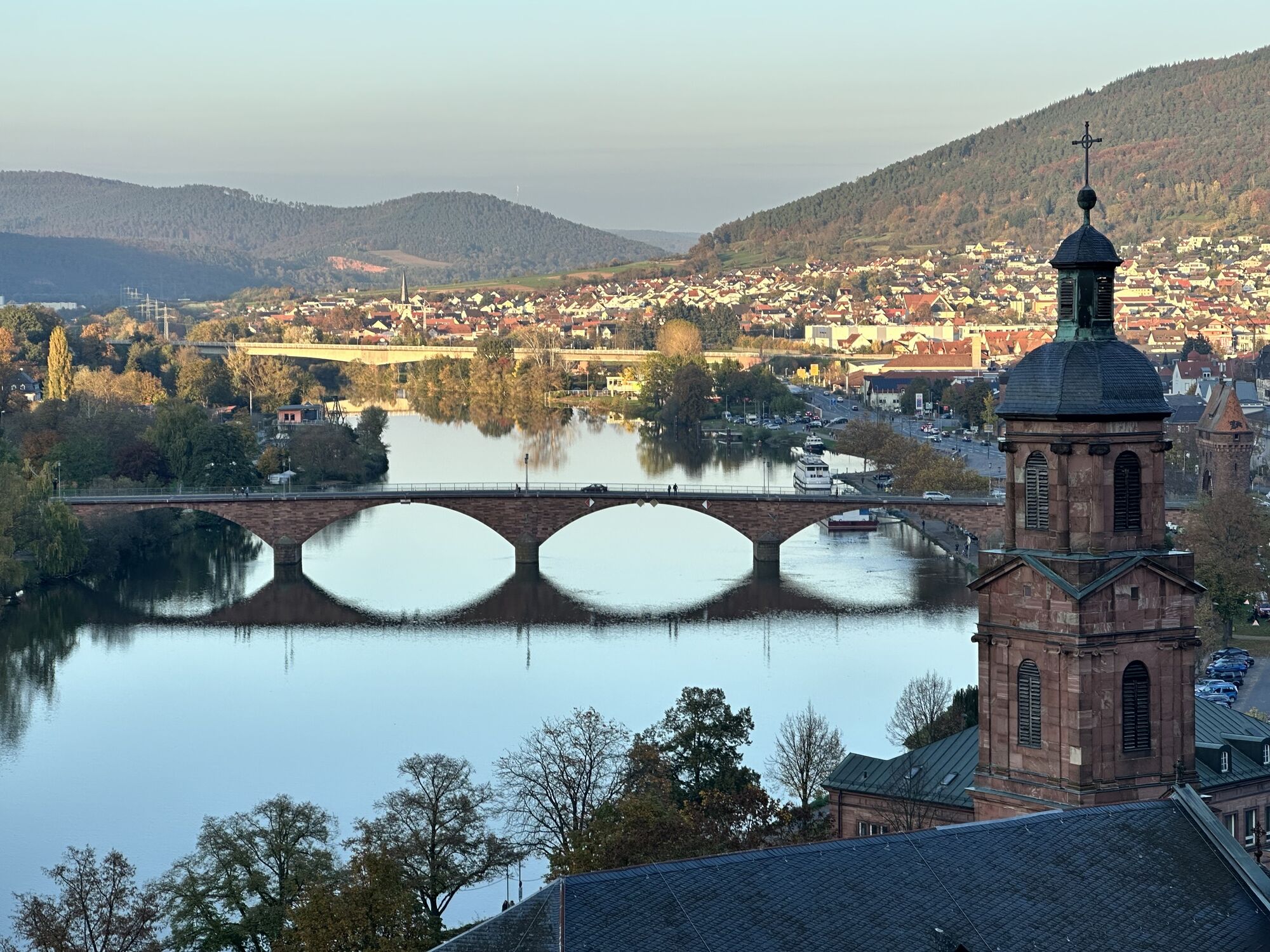
The M1 Roman Route is a certified quality circular hiking trail and is marked with a green M1 on a white background. The quality criteria relevant for the certification promise a special nature and hiking...
The M1 Roman Route is a certified quality circular hiking trail and is marked with a green M1 on a white background. The quality criteria relevant for the certification promise a special nature and hiking experience.



The M1 Roman Route starts at the Market Square (Schnatterloch). Walk past the city parish church St. Jakobus towards the Main River and along the new Main promenade downstream to the west. At the Schwertfegertor (parking lot) cross Main Street and climb the Bismarckweg stairs up the hill. At the top, go right and from there in a wide arc, with magnificent views over Miltenberg, the Main and Mud valleys, to the height of the Greinberg to the ring wall, which experts estimate to be 3000 years old. Its maximum extension is 600 by 400 meters. Near the ring wall, a mysterious Teutonic stone was found in 1878, whose inscription has not yet been deciphered. Here the Romans worshipped the god Mercury. Finds are located in the Miltenberg City Museum. The M1 only leads a short section over the southeastern part of the ring wall and then runs on a path remaining on the height of the hill towards Haagsaussicht.
At Haagsaussicht, where sandstone was quarried between 1890 and 1980, you can enjoy the magnificent view over the Main valley. In good visibility, the heights of the Taunus with the Feldberg can be seen. Follow the path further to the Stone Cross. From here you descend the Limes hiking trail (Roman border wall). Here you will find the foundations of Roman watchtowers and some informative panels about life at this intersection of Rome and Germania. At the Schützenhaus (refreshment opportunity) the M1 leaves the Limes hiking trail by turning left. Slightly above the city border of Miltenberg, we walk in a long arc through the forest to the Ottostein and return over the rock sea to the Market Square. Shortly before, at the Burgweg underpass, a detour to the Mildenburg is worthwhile.
In wet weather, please choose the alternative route via Mildenburg. Hiking sign: Yellow triangle.
Parking lot Parish Church and Parking lot Main Bridge
T1
 Získajte prehľad
Vždy naživo na mieste s viac ako 9 500 webovými kamerami. bergfex Ako používateľ Pro si teraz môžete pozrieť príslušné webové kamery pre mnohé zájazdy v aplikácii zájazdy z. Môžete si tak priamo prezerať aktuálne podmienky.
Získajte prehľad
Vždy naživo na mieste s viac ako 9 500 webovými kamerami. bergfex Ako používateľ Pro si teraz môžete pozrieť príslušné webové kamery pre mnohé zájazdy v aplikácii zájazdy z. Môžete si tak priamo prezerať aktuálne podmienky.
Aktivity počas prehliadky

Obľúbené výlety v okolí
-
4,0
Amorbach Waldromantikweg aka. A9
strednáTuristika 9,95 km -
"Of Clay, Stones and Shards"
strednáTuristika 8,31 km -
5,0
Dorfprozelten: Kollenburg-Chapel-Route
strednáTuristika 11,8 km -
4,0
European cultural route: "From Hecke to Häcke in Hebboch"
strednáTuristika 10,2 km -
5,0
Rüdenau mountain hike R1
ťažkéTuristika 13,8 km -
Miltenberg - Engelberg Monastery - Kleinheubach Castle - round trip
ťažkéTuristika 12,6 km -
MainRadweg Wertheim bis Miltenberg
Cyklistika 35,7 km -
3,0
Franconian Red Wine Hiking Route - 4th stage from Erlenbach to Klingenberg
svetloTuristika 4,08 km -
Nibelungensteig - 6th stage from Miltenberg to Amorbach
ťažkéTuristika 13,2 km -
5,0
Klingenberg: Hiking Trail Schnepfe
strednáTuristika 5,03 km
Turistika a stopovanie


Nenechajte si ujsť ponuky a inšpiráciu na ďalšiu dovolenku
Vaša e-mailová adresa bol pridaný do poštového zoznamu.





