






Circular route Kalzhofen - Salmaser Höhe
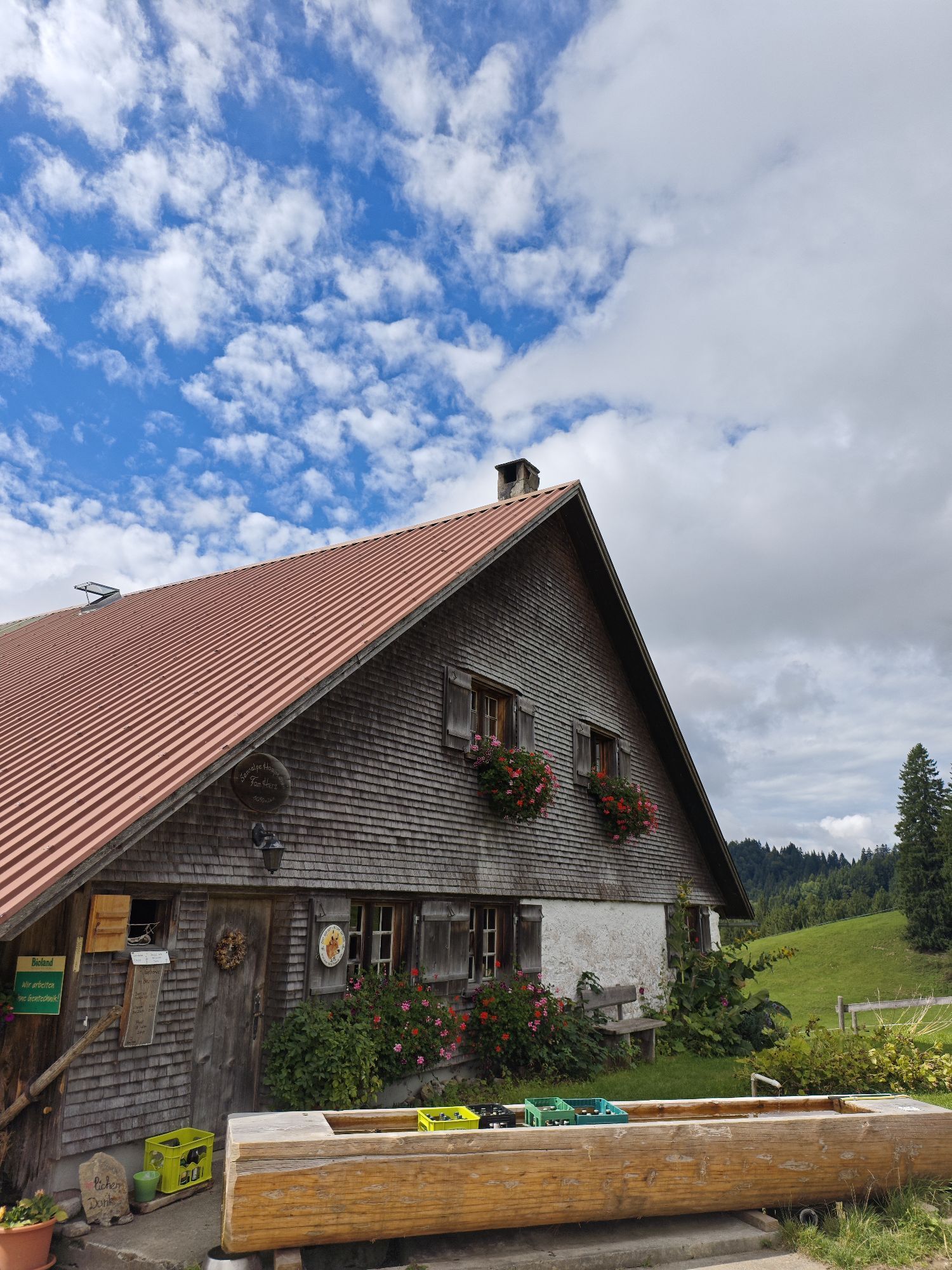
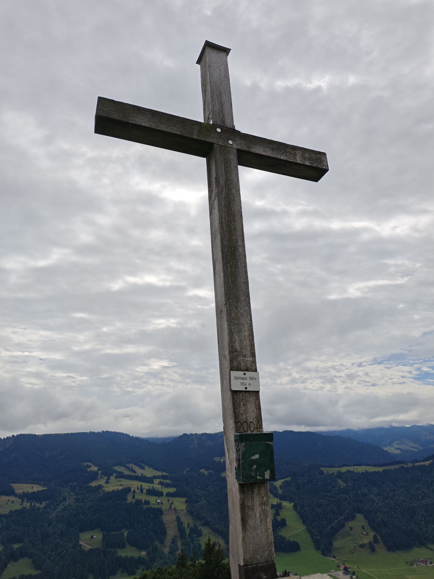
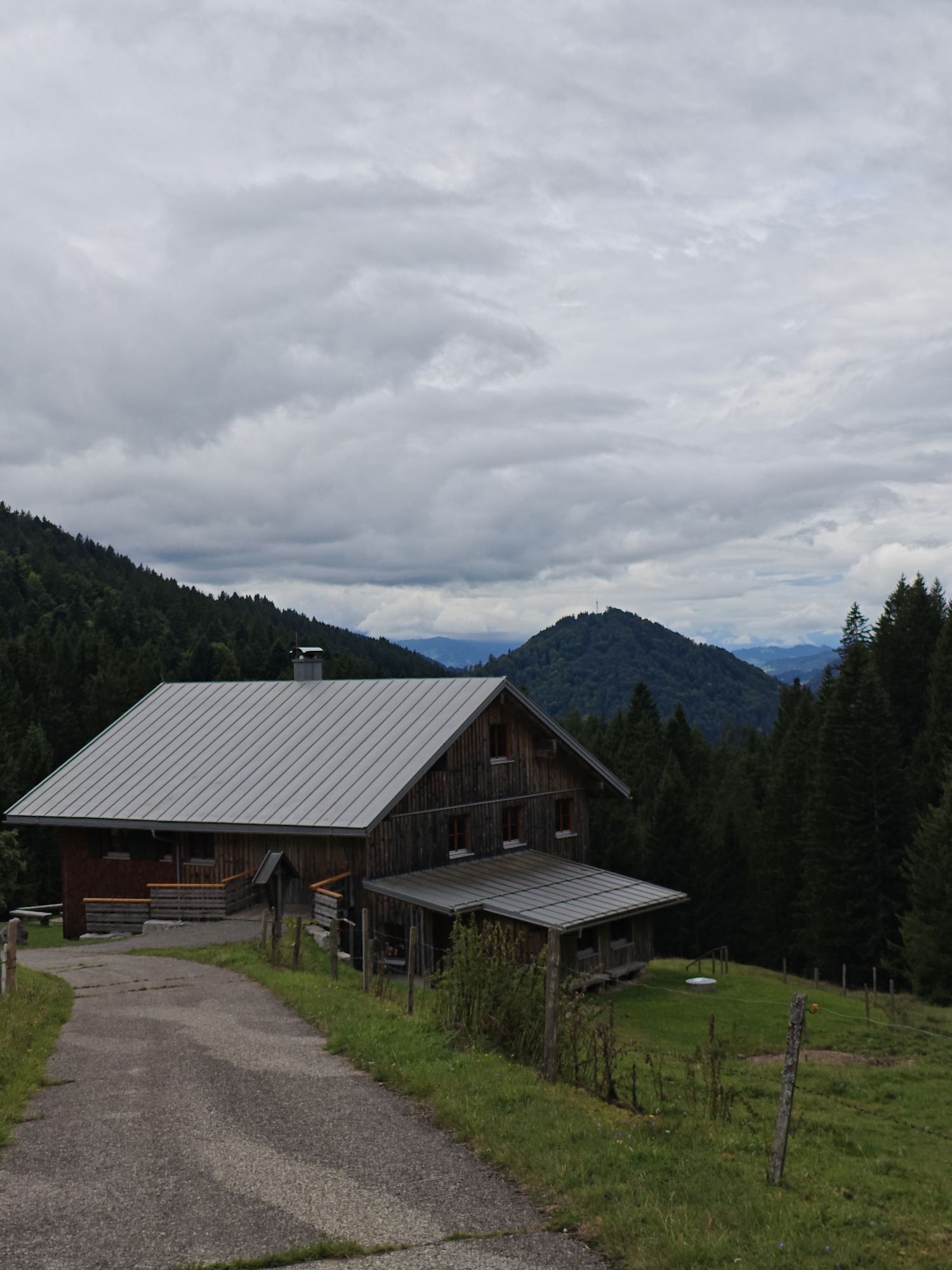
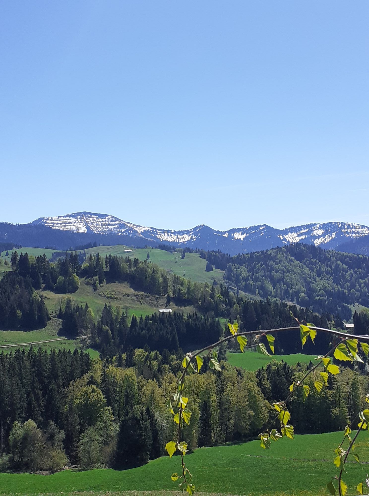
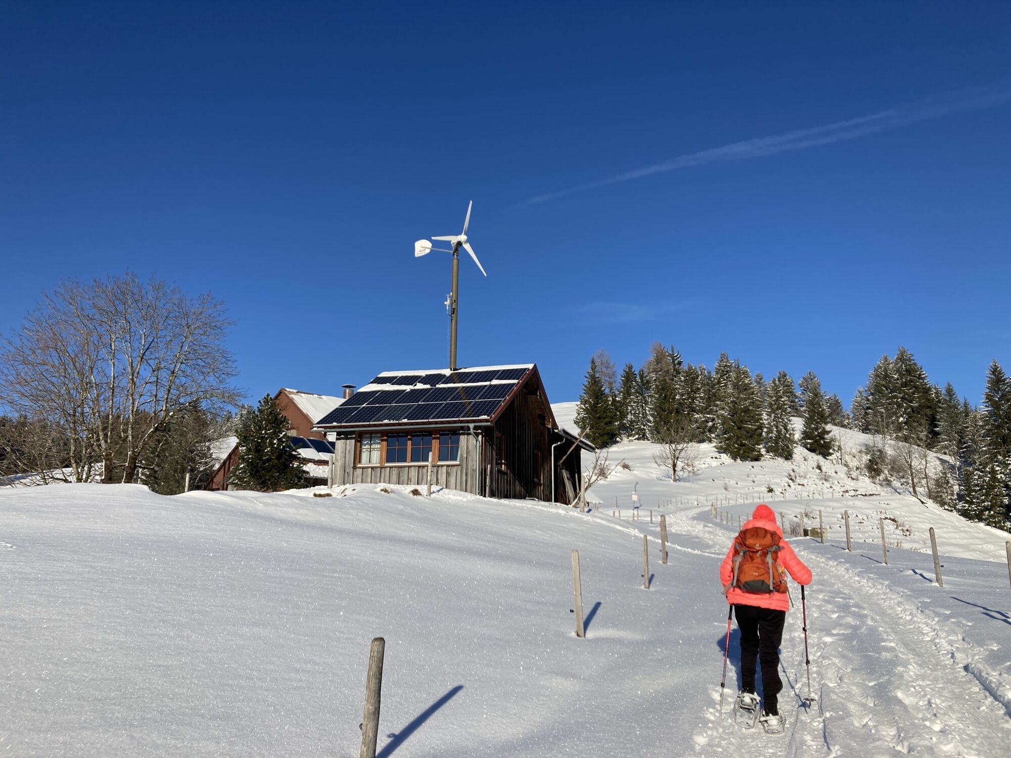
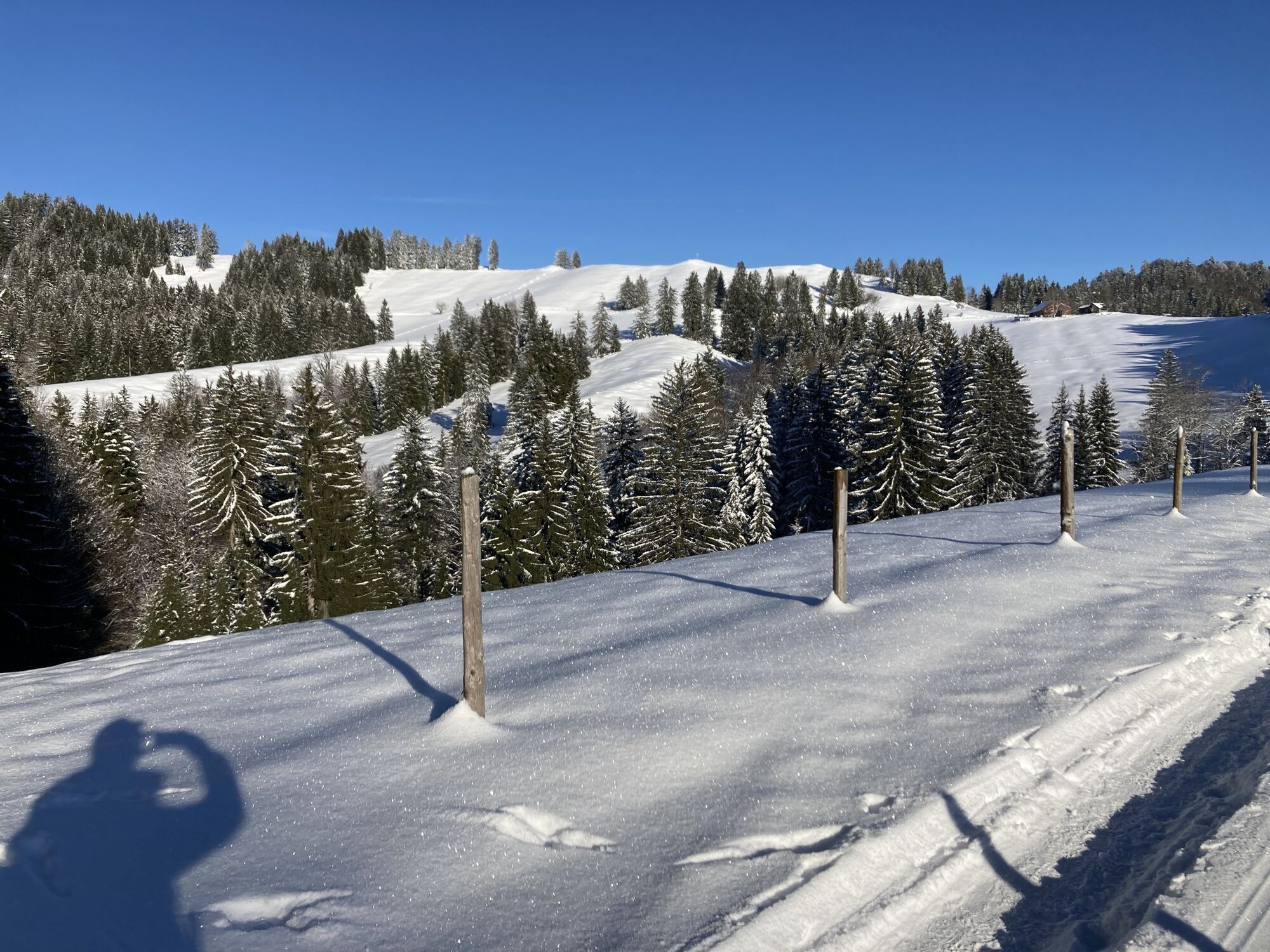
Through Kalzhofen to the Hompessenalpweg. Follow the paved path uphill - past the Mohralpe to the saddle at 1,050 meters elevation. Here turn right onto the rooty natural path towards Salmaser Höhe. First,...
Through Kalzhofen to the Hompessenalpweg. Follow the paved path uphill - past the Mohralpe to the saddle at 1,050 meters elevation. Here turn right onto the rooty natural path towards Salmaser Höhe. First, we cross the forest and later climb over a meadow area with a beautiful view of the foothills up to the summit of Salmaser Höhe. At 1,254 meters, Salmaser Höhe is the highest elevation of the northern mountain range high above the Konstanz valley. In good weather, you can enjoy a wide view over the Konstanz valley, across to the Nagelfluh chain, and westward to the Eastern Swiss mountains. The return goes at first along the outbound path. Upon reaching the forest, follow the signs for Tronsberg via the Alpen Kloster and Högler. Before Tronsberg, turn right through the small ravine, then past the Wuchers Alpe and Kaspers Hut back to Kalzhofen or to the parking lot at the school grounds.

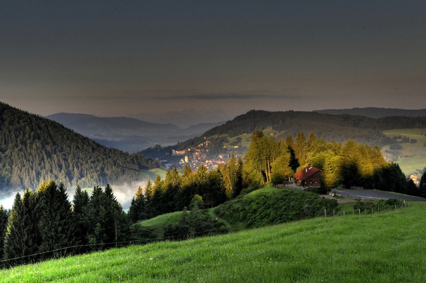
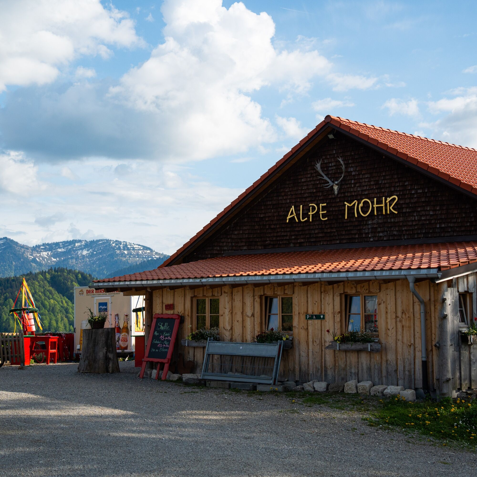
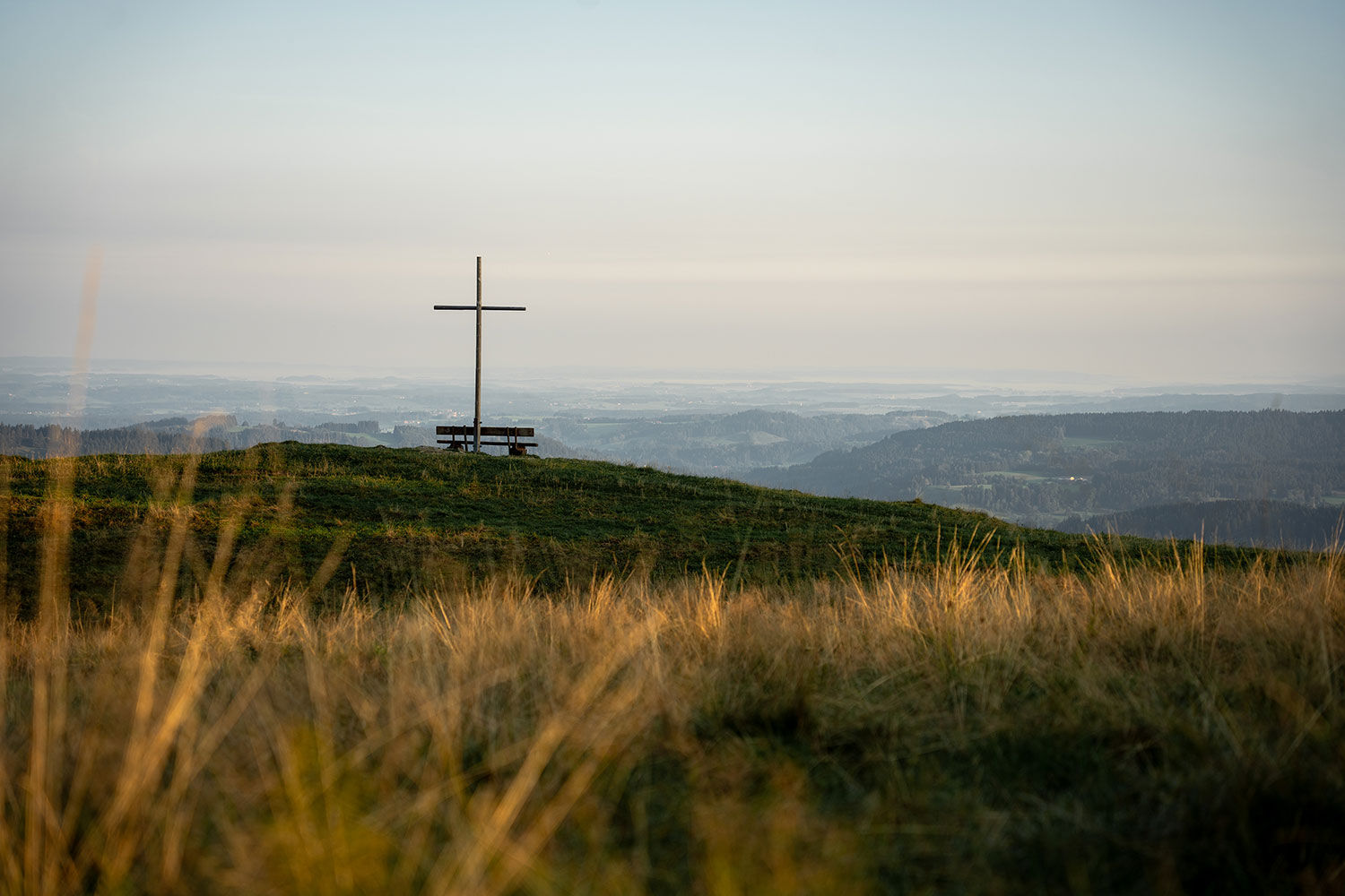

Kalzhofen - Hompessen Alpweg - Salmaser Höhe - Höglers Alpe - Wuchers Alpe - Kalspers Alpe - Kalzhofen
From Oberstaufen via Kalzhofer Street to the school and sports center
At the school and sports center near Kalzhofen
 Získajte prehľad
Vždy naživo na mieste s viac ako 9 500 webovými kamerami. bergfex Ako používateľ Pro si teraz môžete pozrieť príslušné webové kamery pre mnohé zájazdy v aplikácii zájazdy z. Môžete si tak priamo prezerať aktuálne podmienky.
Získajte prehľad
Vždy naživo na mieste s viac ako 9 500 webovými kamerami. bergfex Ako používateľ Pro si teraz môžete pozrieť príslušné webové kamery pre mnohé zájazdy v aplikácii zájazdy z. Môžete si tak priamo prezerať aktuálne podmienky.
Aktivity počas prehliadky


Obľúbené výlety v okolí
-
4,7
Steibis - Buchenegger Waterfalls
strednáTuristika 6,47 km -
4,5
Hittisau | Wasserwanderweg
svetloTematická trasa 7 km -
5,0
Nagelfluh ridge route Hochgrat - Mittag
ťažkéTuristika 14,0 km -
4,7
Rindalphorn und Hochgrat
strednáTuristika 15,6 km -
4,9
Immenstädter Horn
svetloTuristika 9,35 km -
3,7
Rundtour Mittag
svetloTuristika 15,7 km -
5,0
Siedelalpe Runde von See - Immenstadt
svetloTuristika 10,3 km -
4,5
Immenstädter Horn - Gschwender Horn
svetloTuristika 10 km -
4,4
Circular route Steibis to Dreiländerblick
strednáTuristika 7,95 km -
4,5
Circular route Hündle to the Buchenegger Waterfalls
strednáTuristika 9,69 km
Turistika a stopovanie


Nenechajte si ujsť ponuky a inšpiráciu na ďalšiu dovolenku
Vaša e-mailová adresa bol pridaný do poštového zoznamu.





