


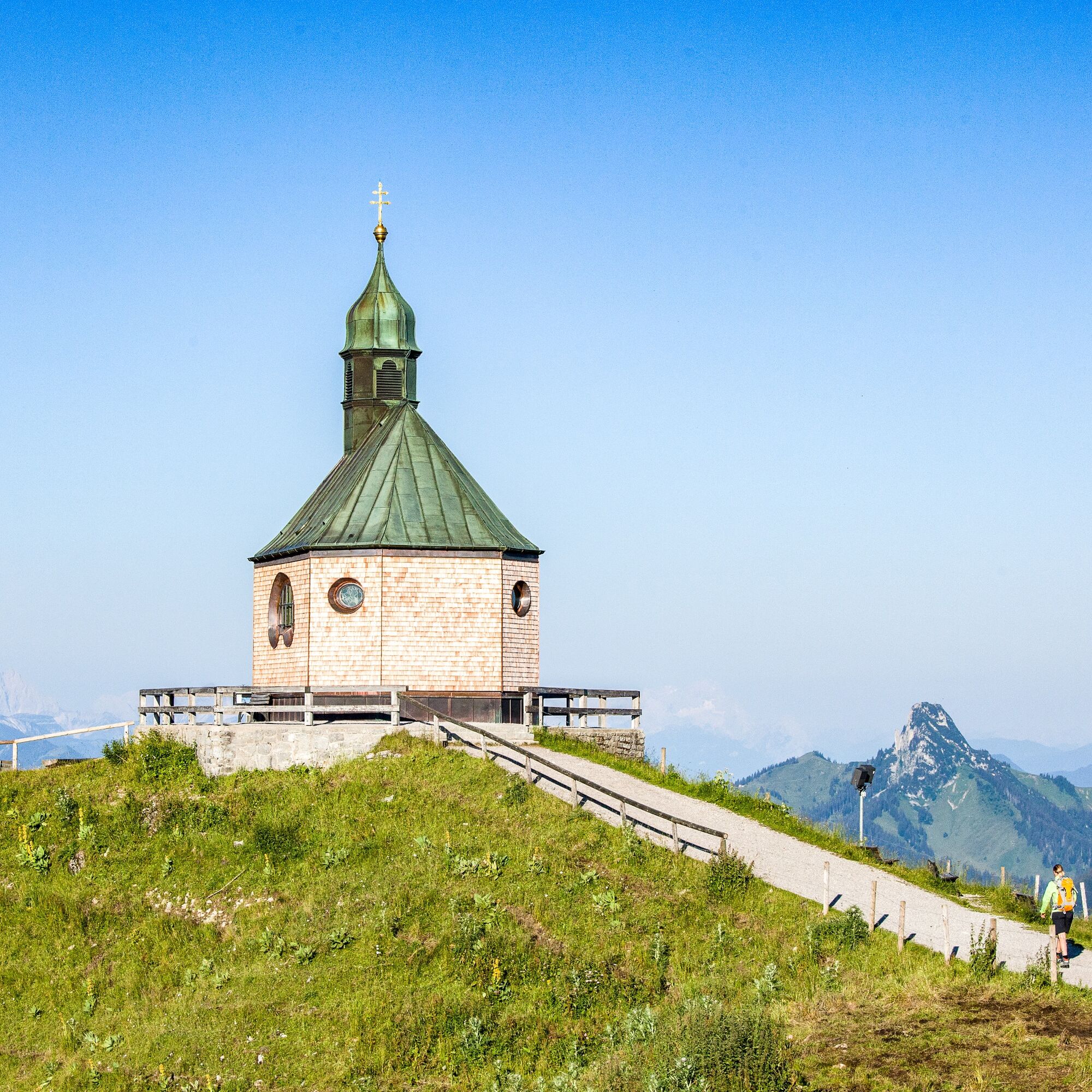
Bike and hike route - Setzberg via Wallberghaus

The Setzberg is a rather seldom visited summit but still a worthwhile mountain route. One can cleverly shorten the path on two wheels.

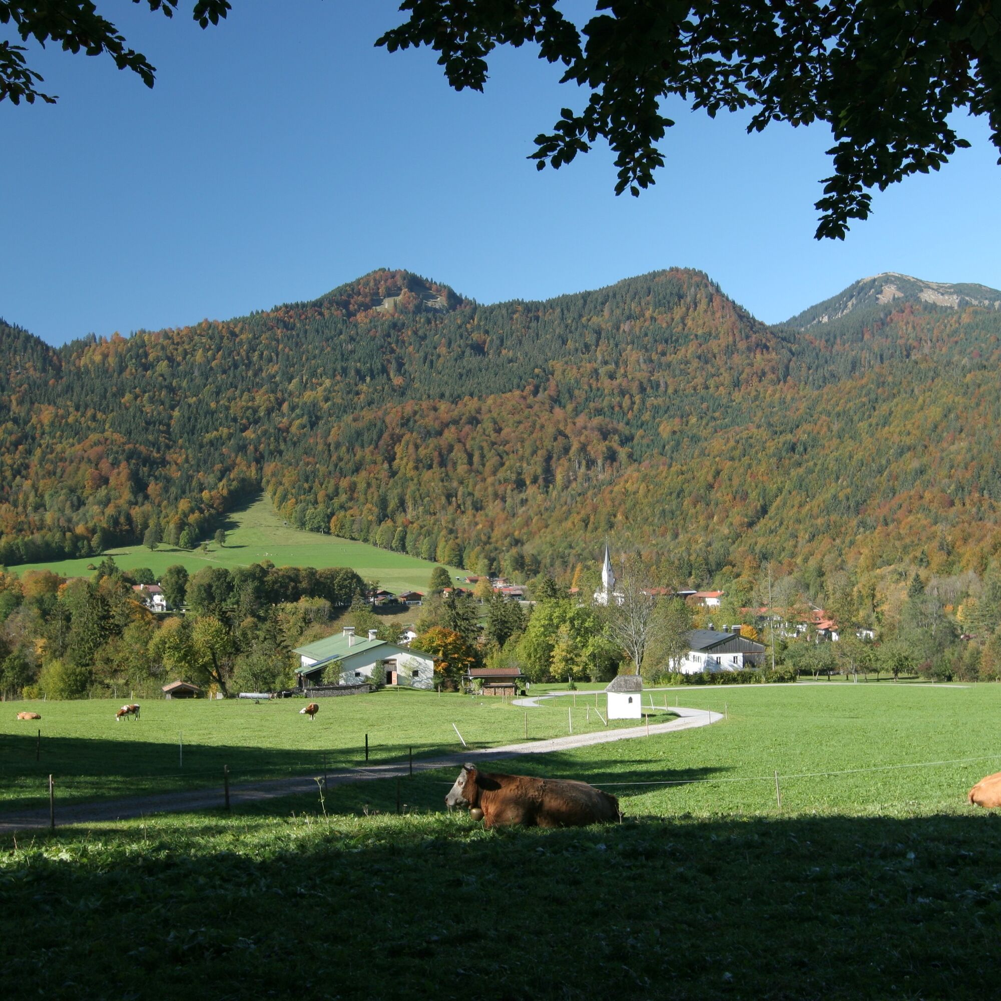
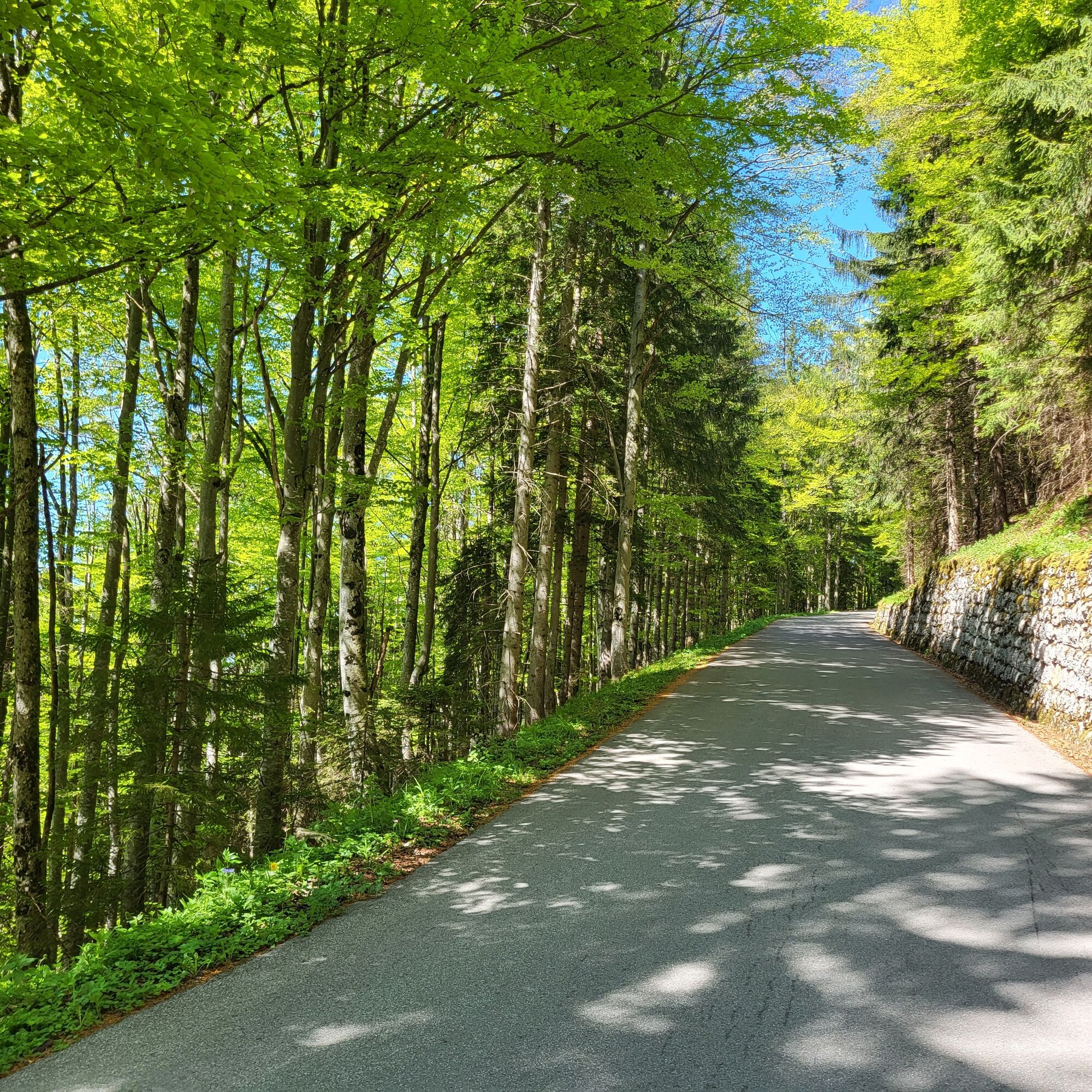
We start our route in Kreuth at the spa park and follow forest road no. 617 towards Setzberg.
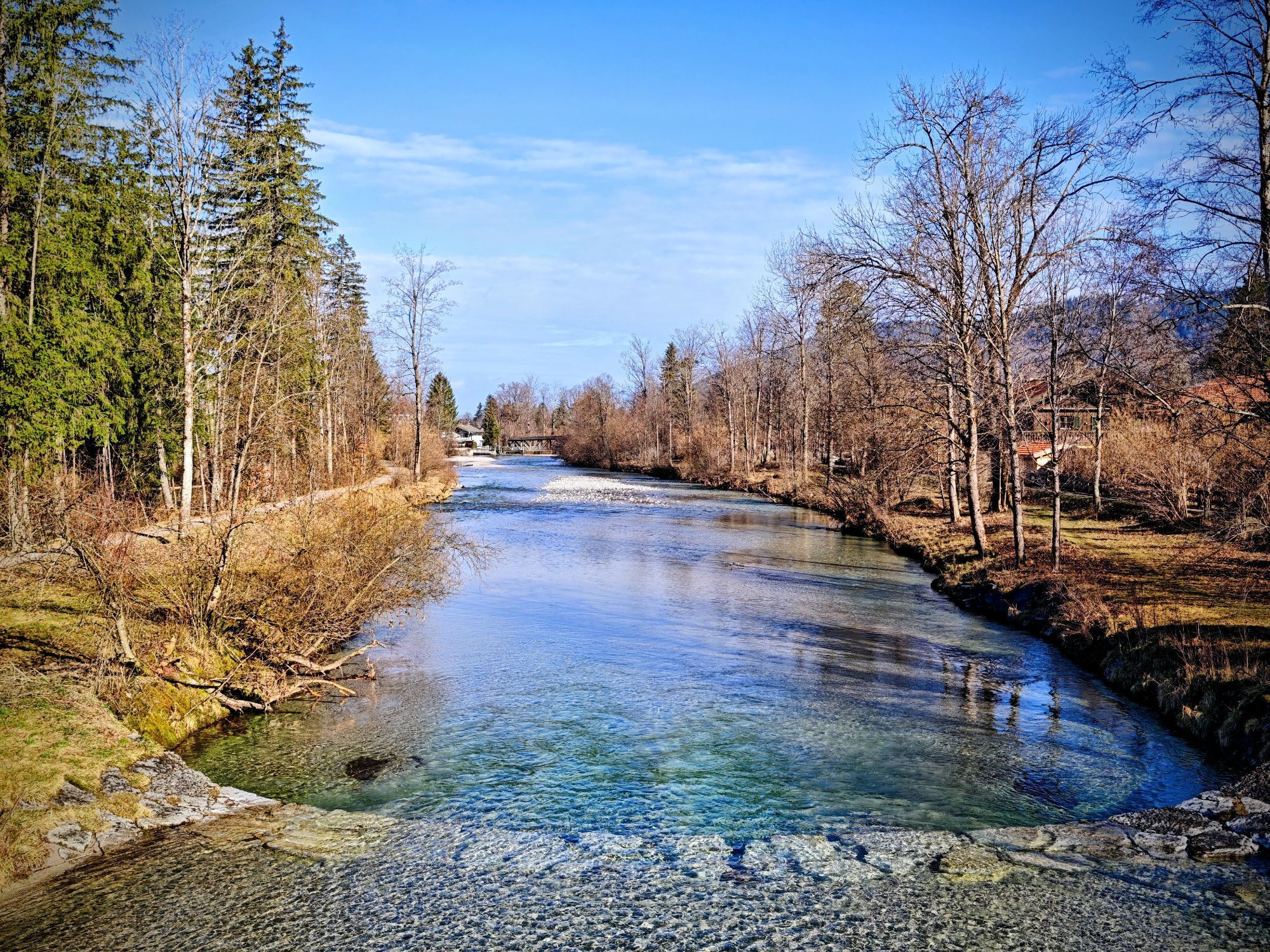
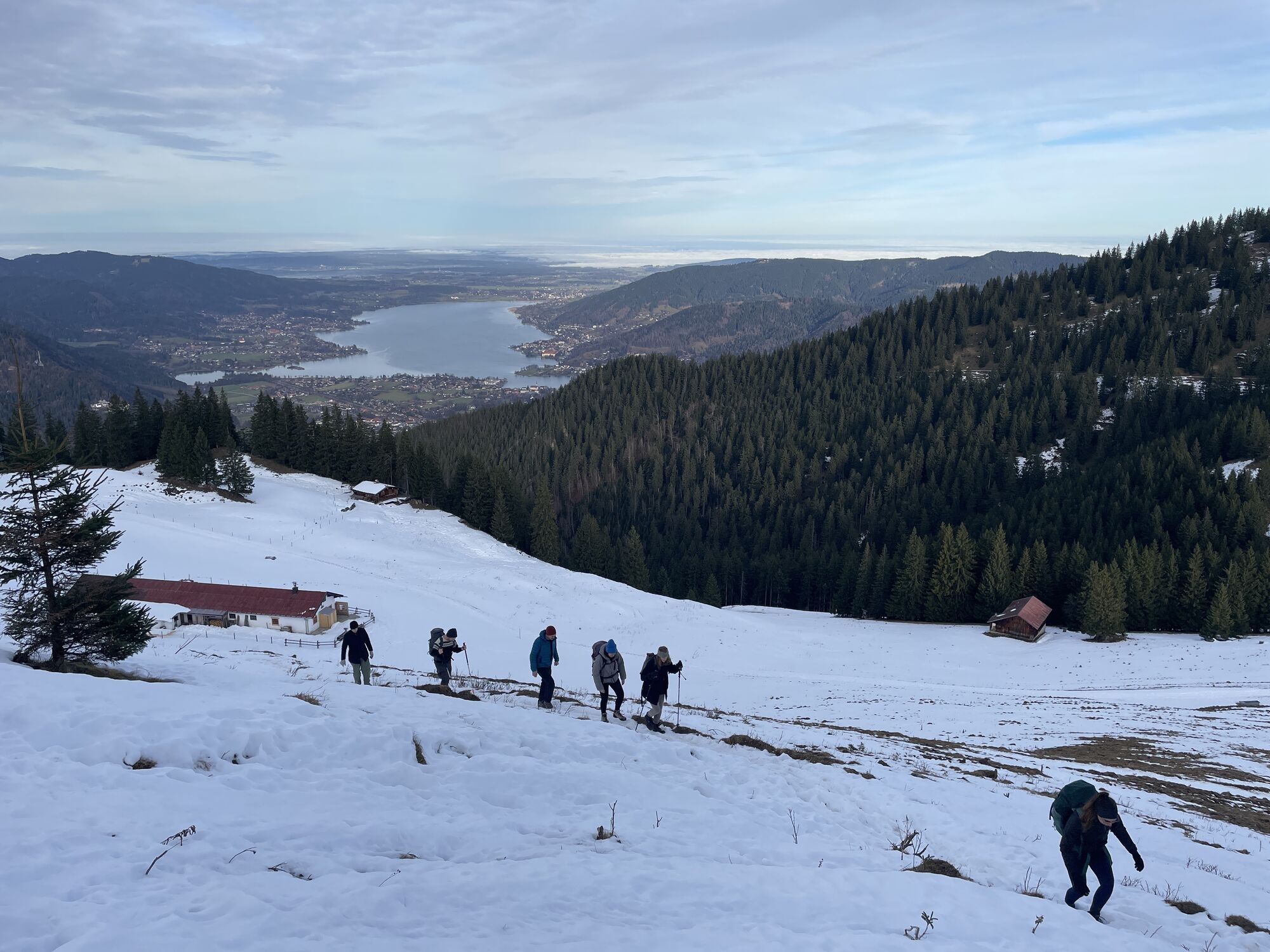
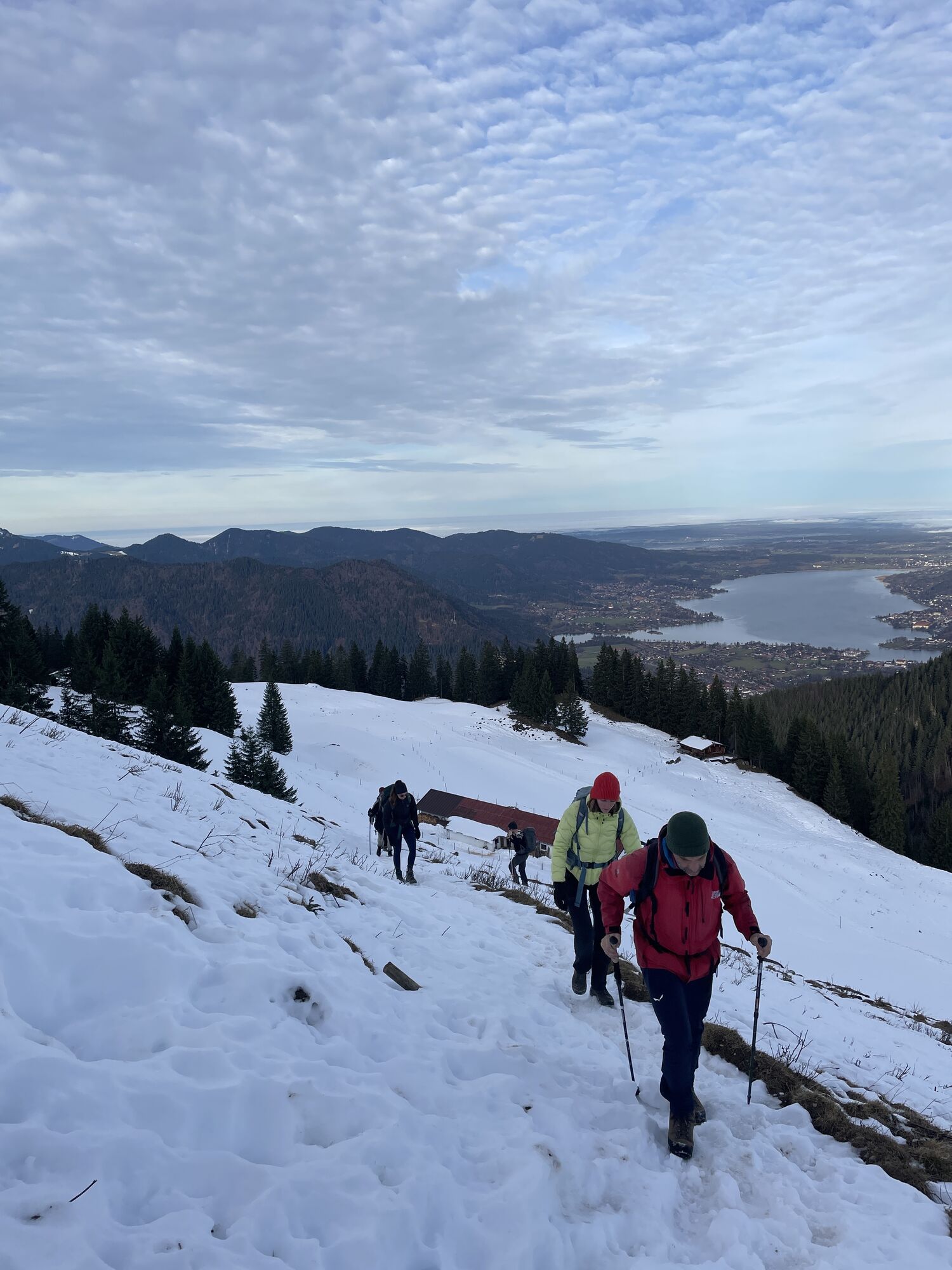
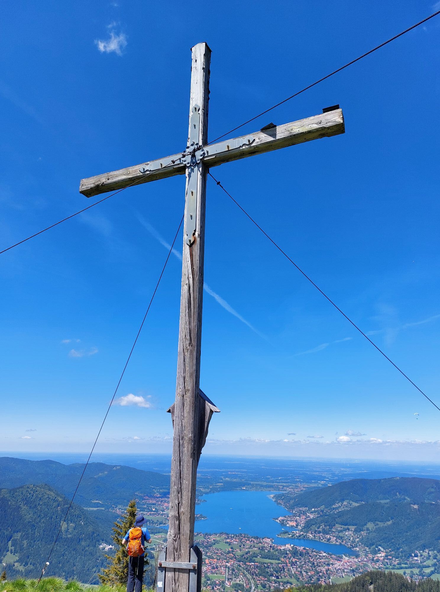
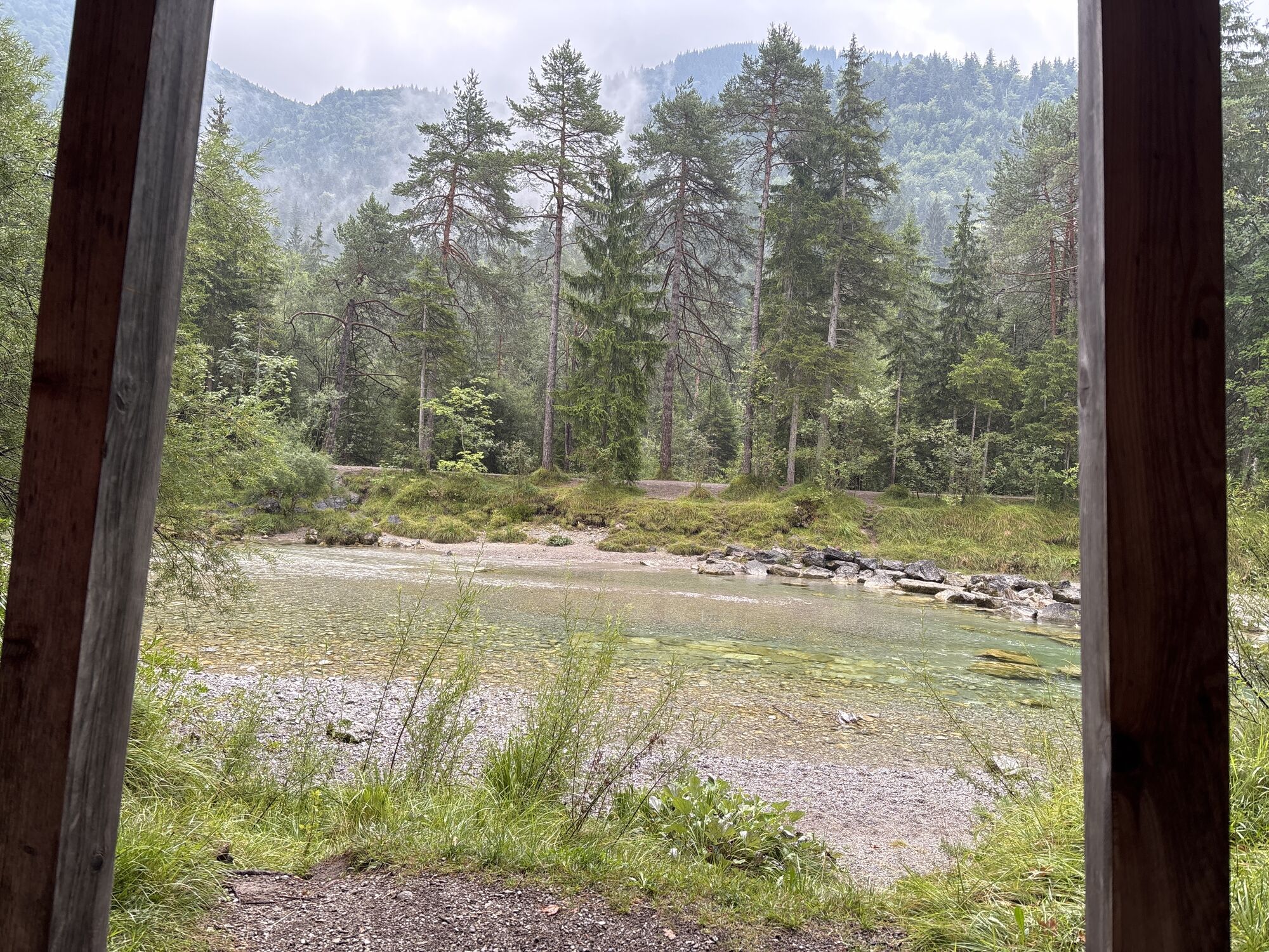
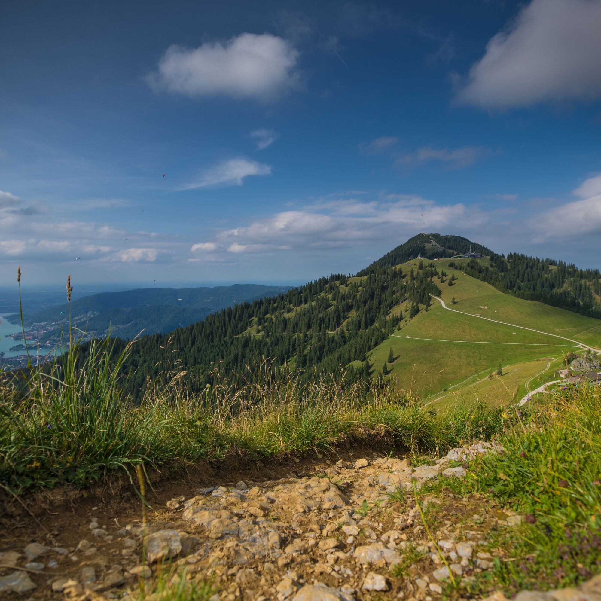
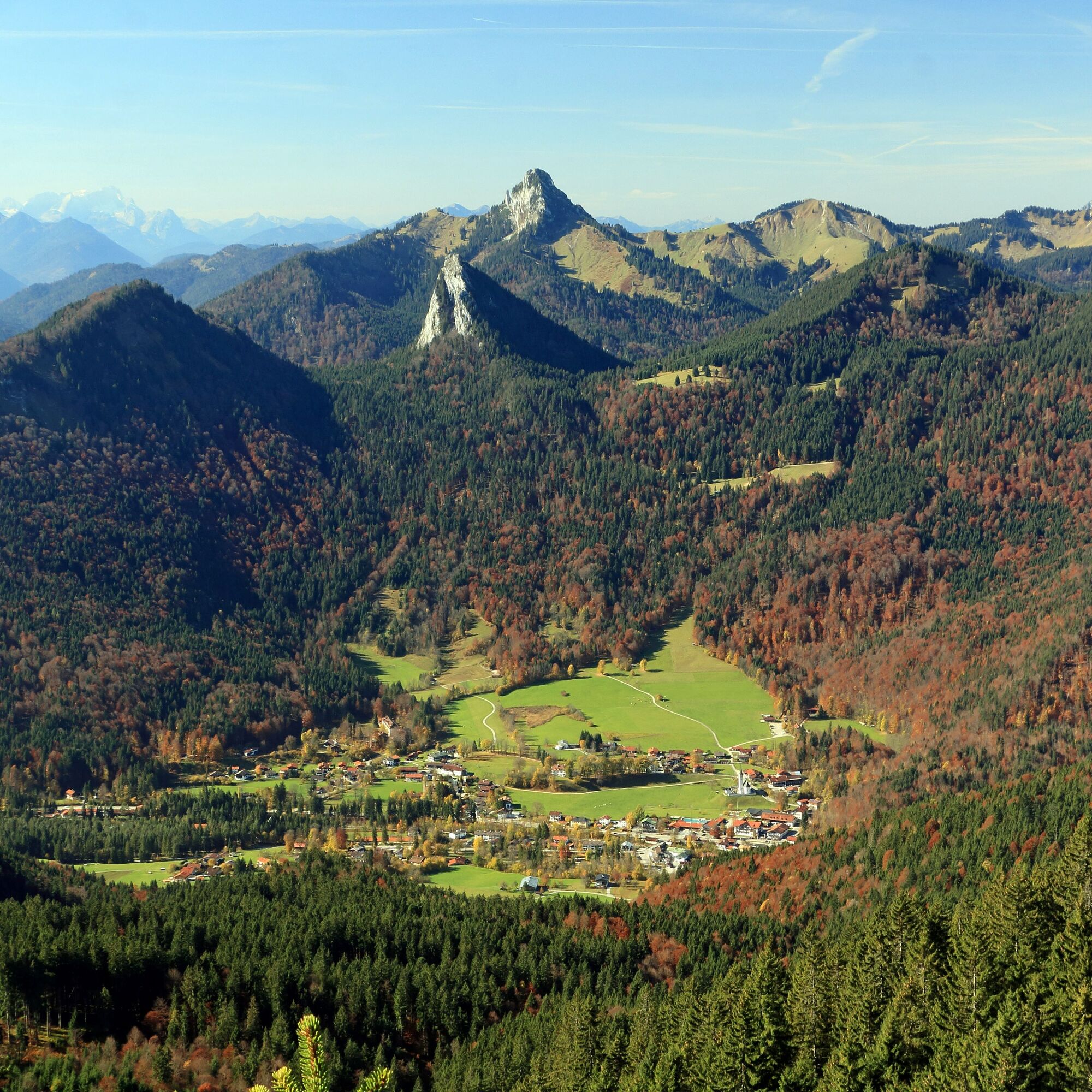
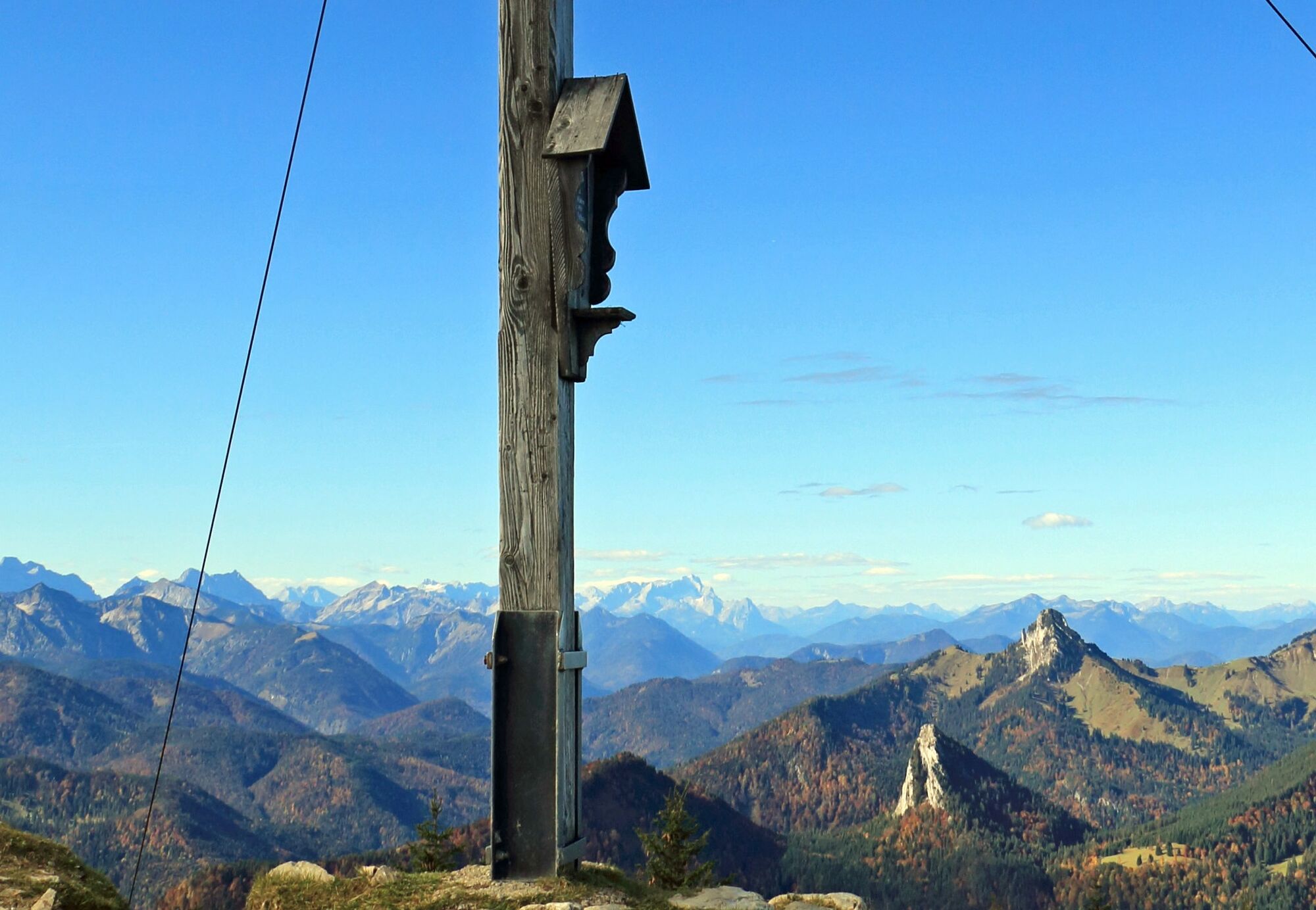
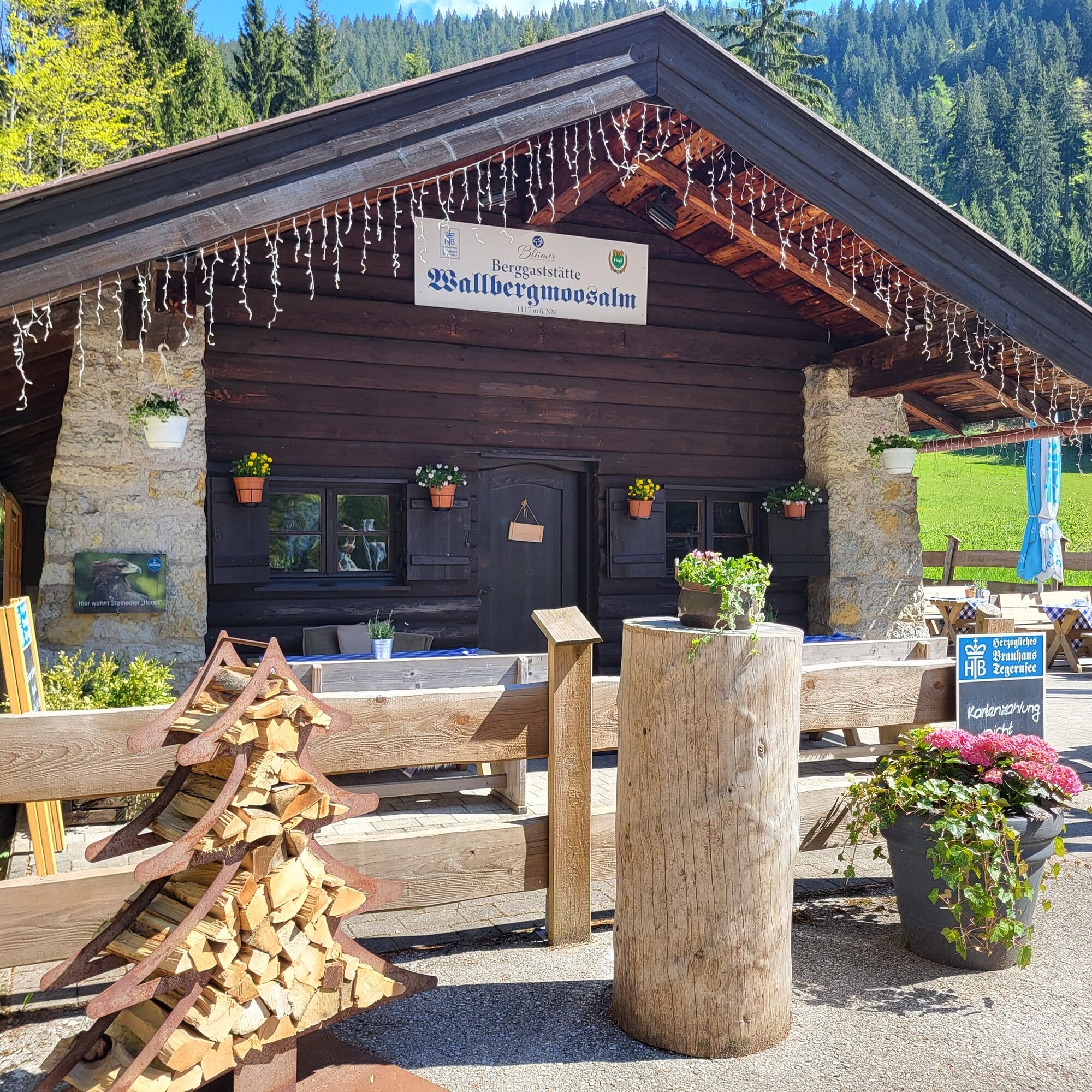
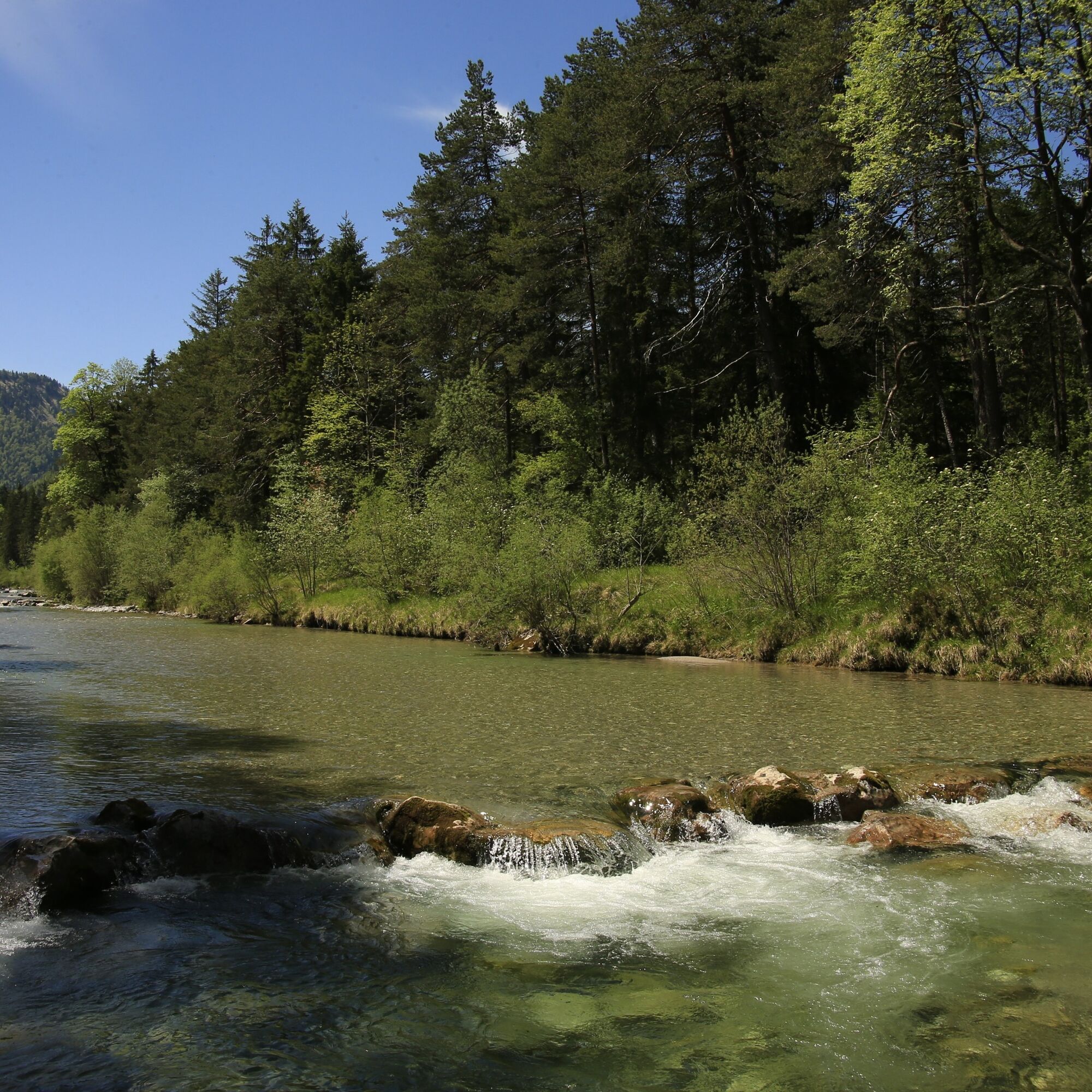
We stay on the road and do not take the first turnoff to Setzberg via Grubereck. After a total of approx. 3.5 miles, 1,804 ft ascent and 1.5 hours, we reach our turnoff to Setzberg via the Wallberghaus. Here we leave our bike and continue the path on foot. After a good hour and 1,378 ft ascent, we reach the Setzberg summit after 1.4 miles (path 618b). The return to the bike depot follows the ascent path. Our route planning now goes down first to the Wallbergmoos-Alm, another place to stop. Then the route follows the Wallberg panoramic road for about 2.5 miles down to the plain. Please ride slowly and be sure to watch out for oncoming vehicles! Also be careful along the route at the automatically opening descent barrier. Before the bridge over the Weissach, turn left following the green bike signs towards Kreuth/Achensee. The bike path leads through the Weihsachau nature reserve back to the starting point. Please note that the water experience path running parallel right by the Weissach is closed to cyclists.
Áno
A functional mountain bike, sturdy hiking shoes, rain jacket, drinking bottle, first aid kit.
All information without guarantee. Walking and cycling the described routes is at your own risk. Please be sure to watch out for oncoming vehicles when descending on the Wallberg road to the valley station of the Wallberg cable car. Caution: Beware of the barrier!
A8 to Holzkirchen exit, via B318 and B307 to Kreuth.
Arrival by bicycle and the Bavarian regional train to Tegernsee station is possible.
From Tegernsee by mountain bike to Rottach-Egern. From there along the Weissach through the Weissachau nature reserve to the starting point of the route.
Paid parking lot in Kreuth at the spa park.
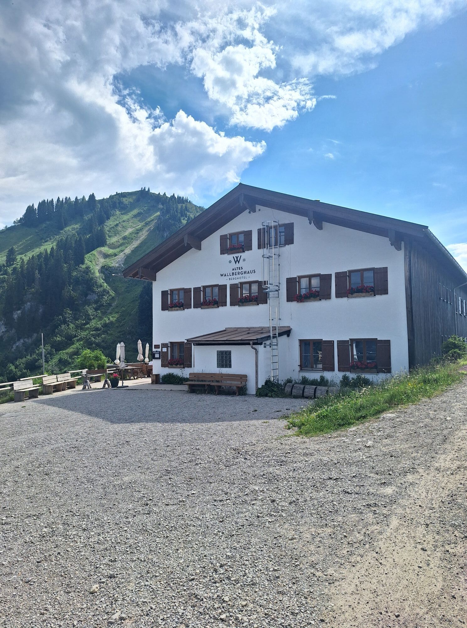
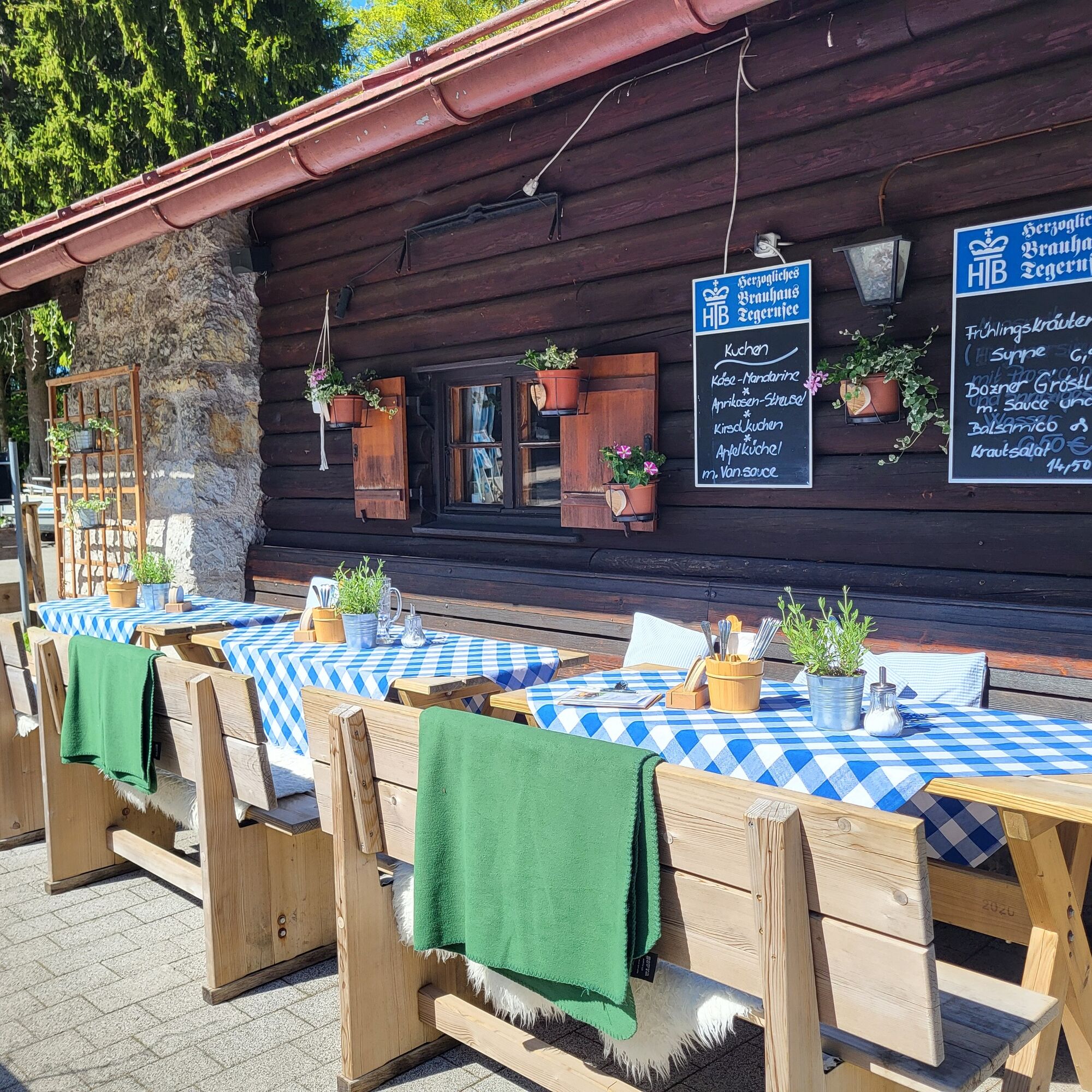
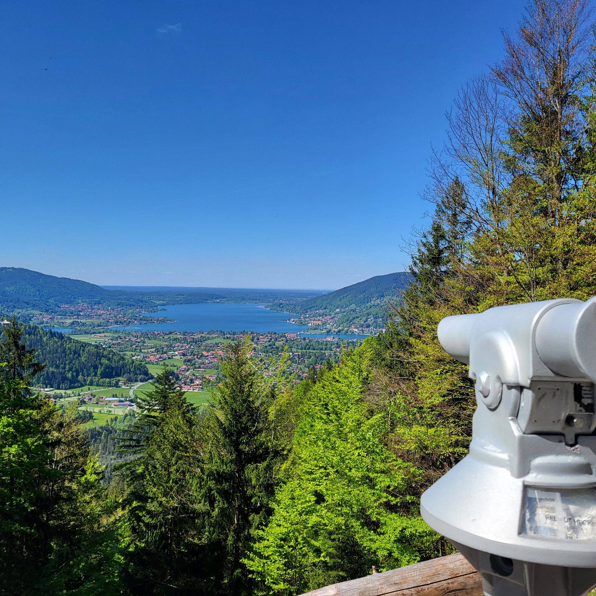
Enjoy the panoramic view from the terrace of the mountain hotel "Altes Wallberghaus" with a snack and stop by one of the cozy inns in Kreuth after the route.
Obľúbené výlety v okolí
-
4,6
Summit route to the Wallberg
strednáTuristika 12,2 km -
4,8
Lengrieser Hütte
strednáTuristika 10,6 km -
4,7
Königsalm
strednáTuristika 10,0 km -
4,2
Tegernsee Höhenweg - North
svetloTuristika 12,3 km -
4,7
Rotwand über Schliersee, Deutschland
strednáTuristika 15,4 km -
4,6
Brecherspitze
strednáHorská turistika 14,5 km -
4,5
Aueralm/Zwerglberg
strednáTuristika 11,9 km -
4,5
Brecherspitz-Runde auf dem Normalweg Schliersee, Bayern
strednáTuristika 11,3 km -
4,5
Achenkirch - Zöhreralm - Adlerhorst - Achenkirch
svetloTuristika 7,70 km -
3,7
Aueralm und Fockenstein
strednáTuristika 14,1 km
Turistika a stopovanie


Nenechajte si ujsť ponuky a inšpiráciu na ďalšiu dovolenku
Vaša e-mailová adresa bol pridaný do poštového zoznamu.