







Over the Kapf to the Eibele Waterfalls
The start is at the Kurhaus, from whose backside it first goes steeply uphill to the 'Upper Panorama Trail'. We follow this until the turnoff near a house with a beautiful view of the village. There turn...
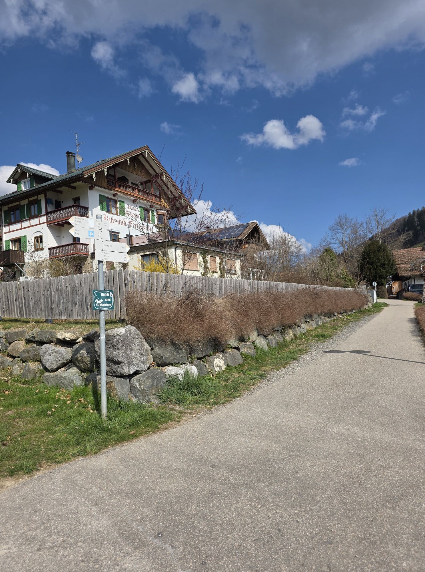
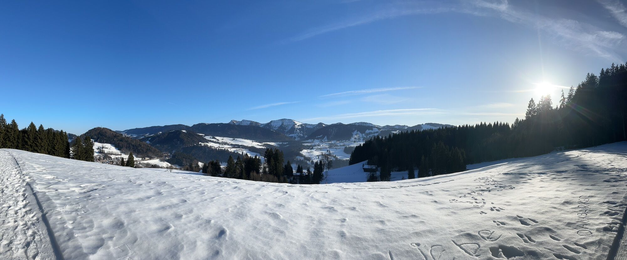
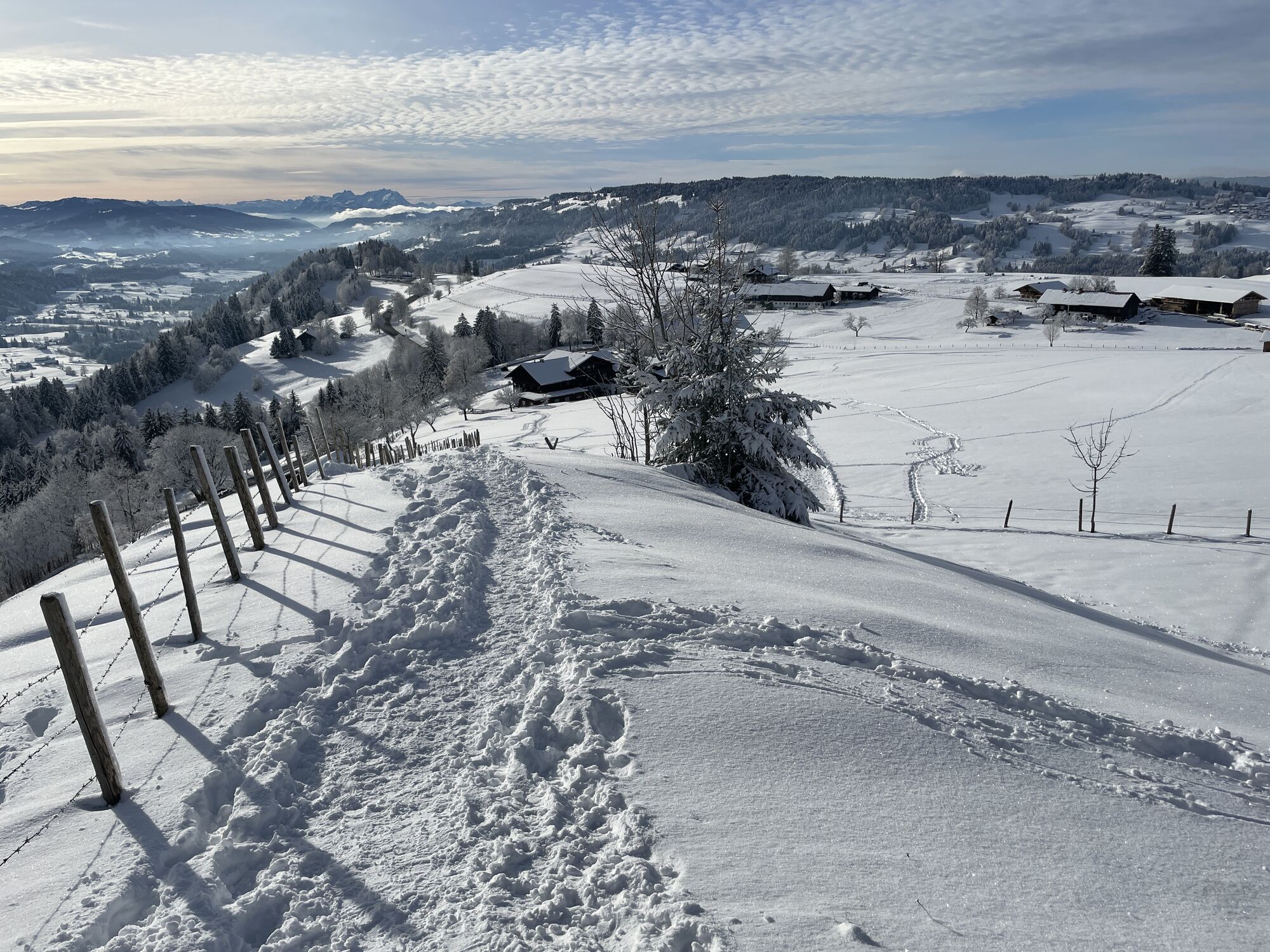
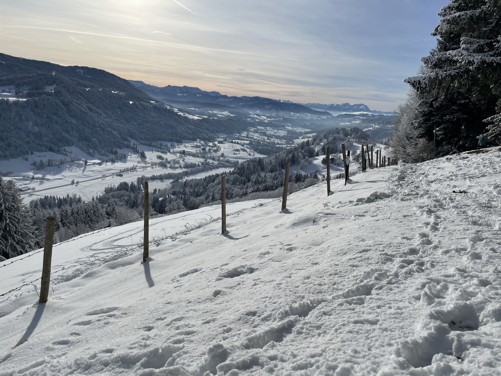
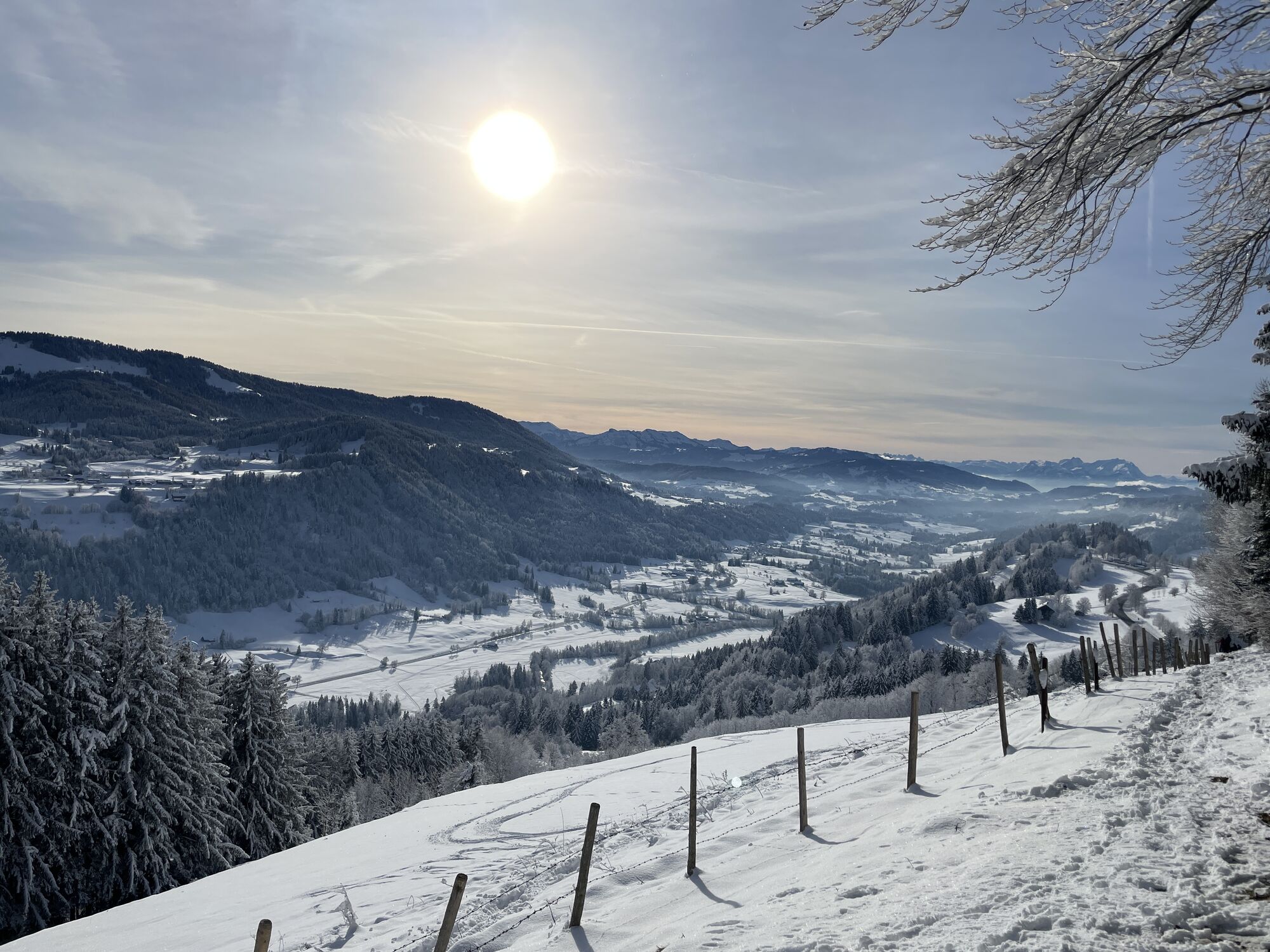
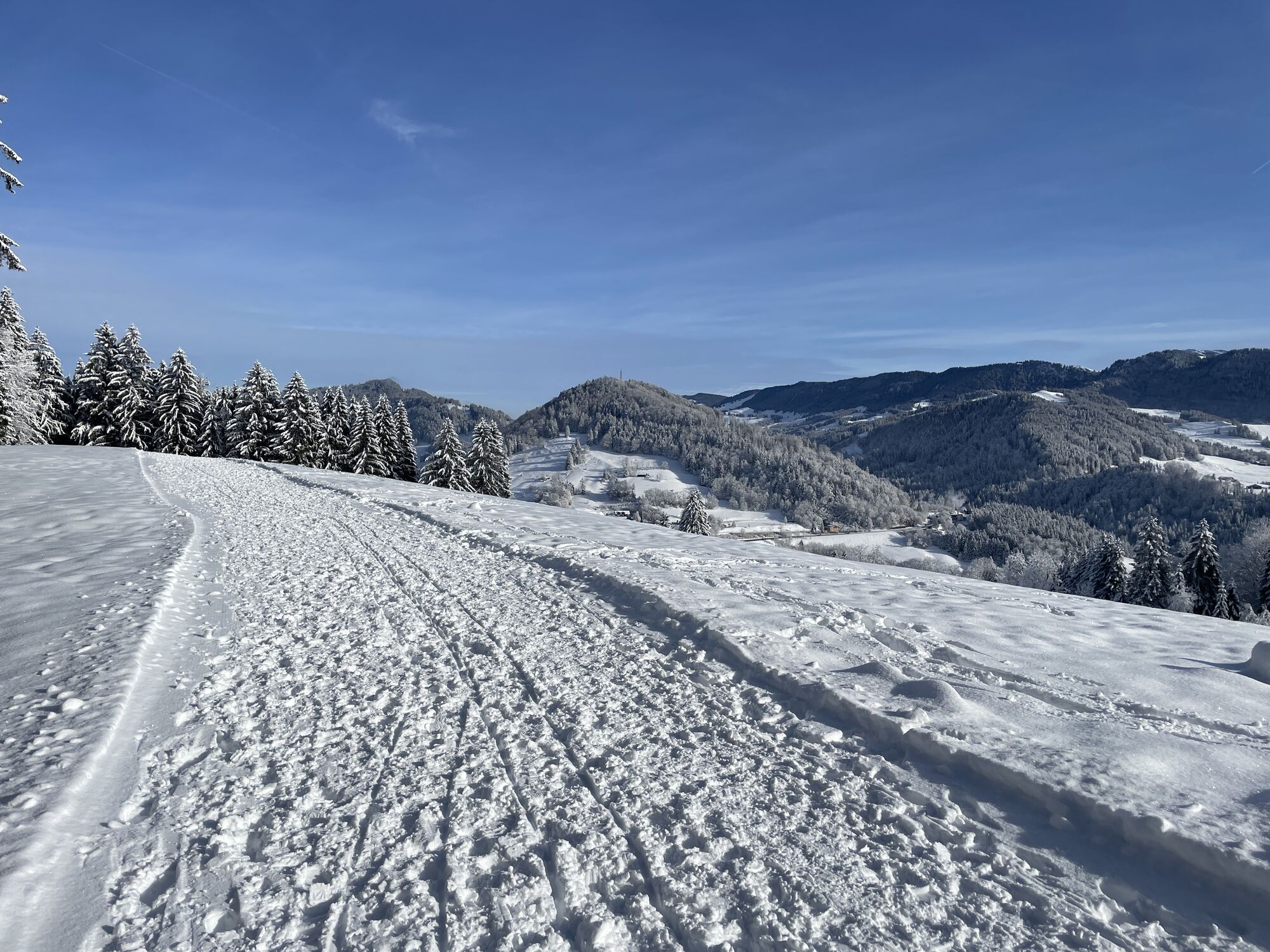
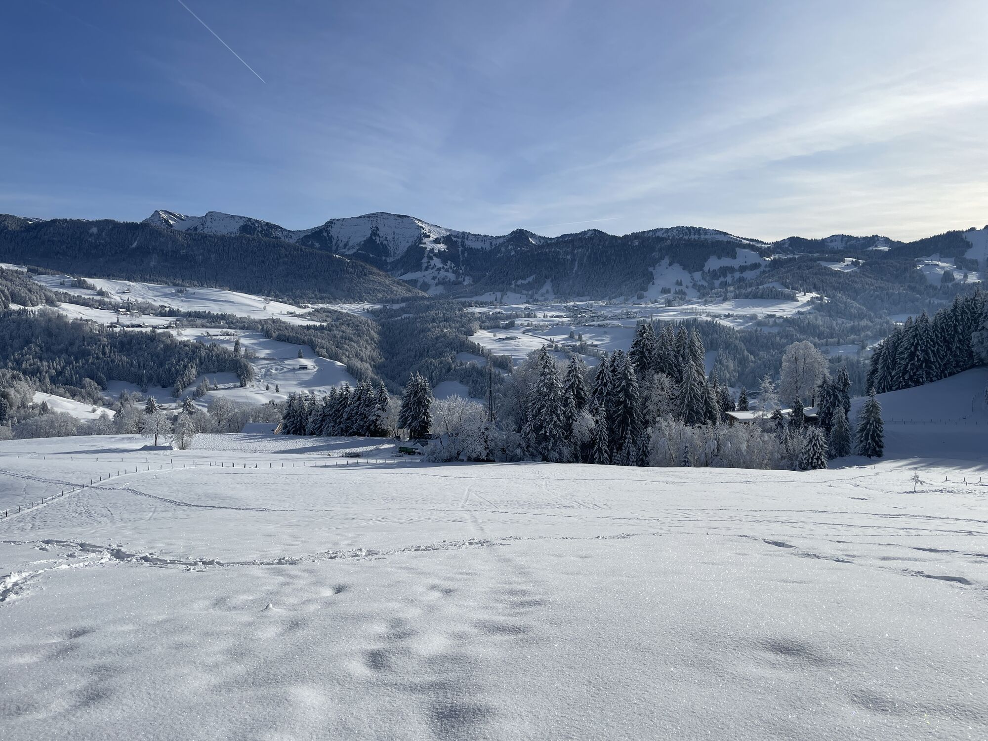
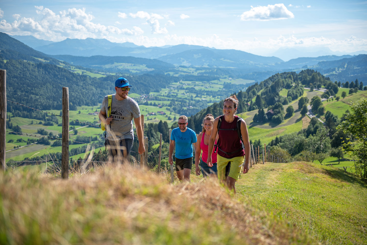
The start is at the Kurhaus, from whose backside it first goes steeply uphill to the 'Upper Panorama Trail'. We follow this until the turnoff near a house with a beautiful view of the village. There turn right and follow the sign 'To the Kapf'. Over root and forest paths, we reach the summit with a magnificent view over some mountains of the Nagelfluh chain. Then follows the descent into the so-called Paradise - the district of Berg - with the option to stop at the Café Paradies.
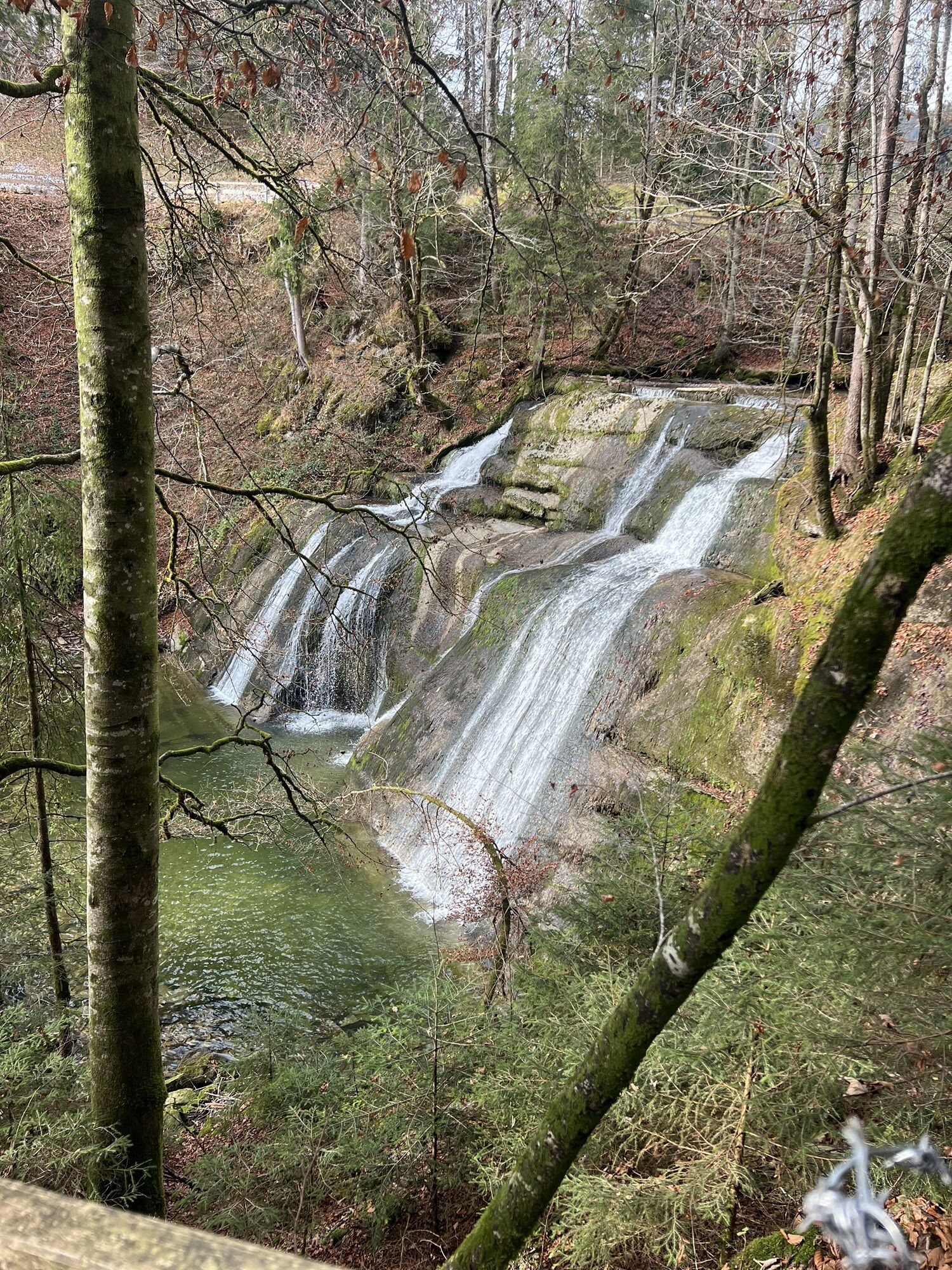
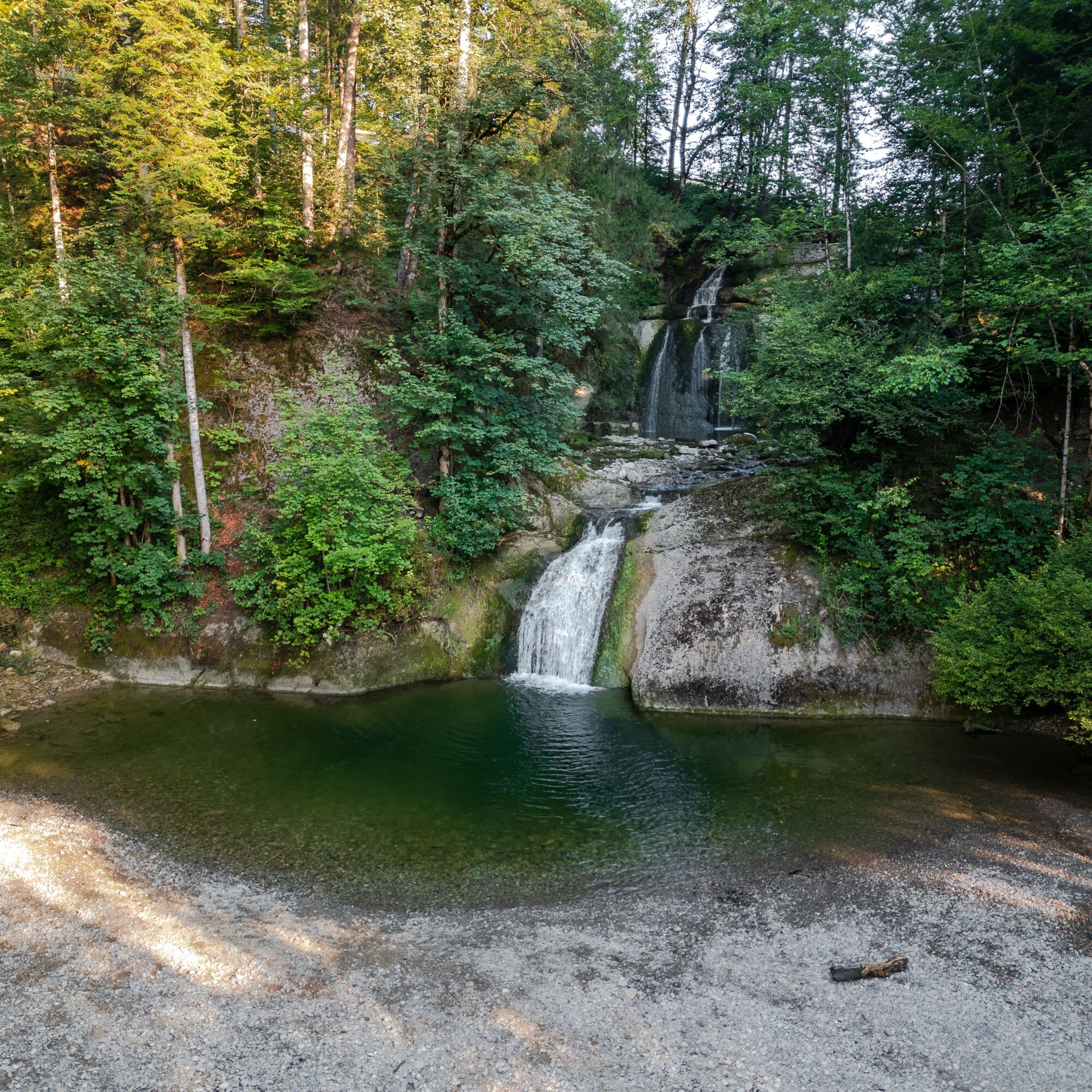
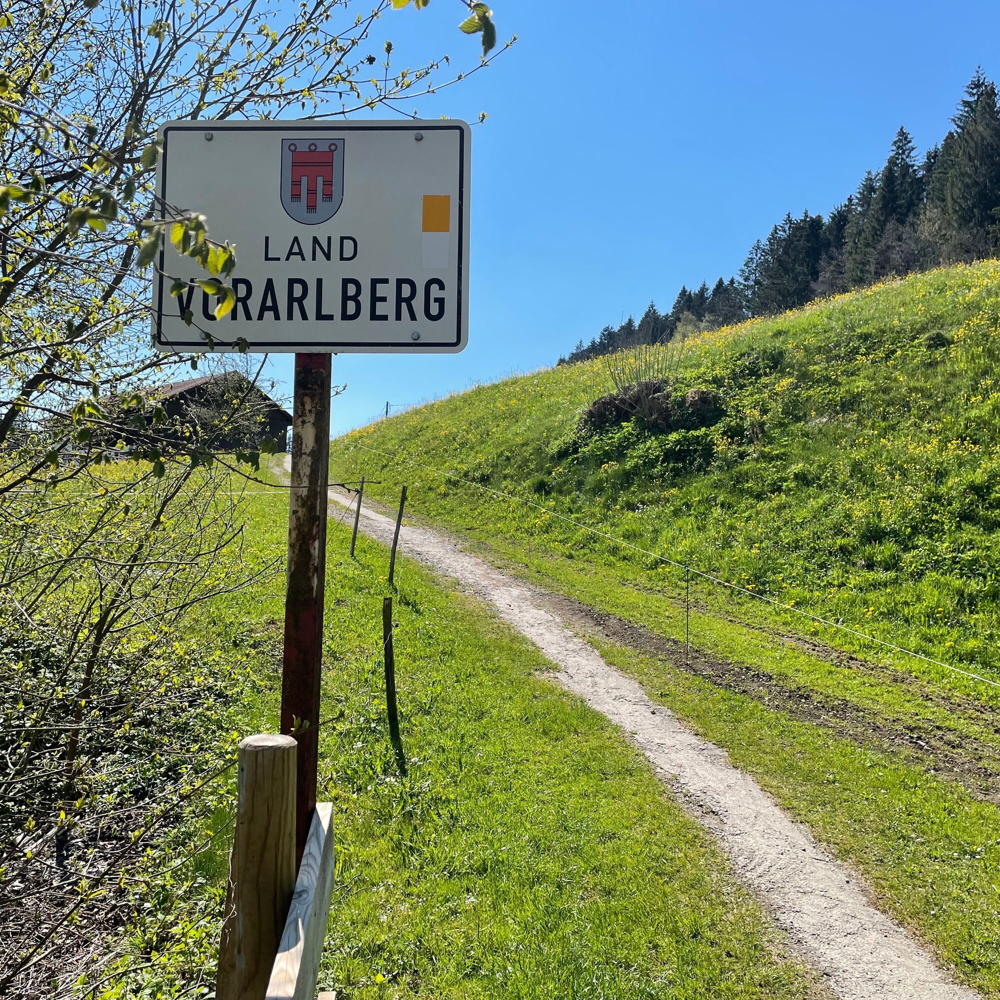
Continue following the signage westward to Döbilisried, using the underpass of the federal highway. The end of the residential street there turns into a forest road and later into a meadow path. In summer, cattle graze here on both sides. A few hundred meters further, we reach a forest road, which we follow left toward Eibele. Soon the sound of the waterfalls can be heard. Approaching, you can first admire the upper tiers of the waterfalls. If you continue downhill into the district of Eibele, you reach the lower basin (catchment basin) via a wooden bridge. This area is surrounded by trees and invites you to linger in the pleasant shade spots, especially on hot summer days.
On the way back, we first pass the Café Ponyhof. Then follow some individual farms belonging to the districts of Hinter- and Vorderhalden. Shortly before the steep climb to Willis, we turn right onto the meadow path and then pass through a wooded area. It goes through the holiday club in Malas and returns the last few meters via the Aurel-Stadler-Weg back to Oberstaufen.


Áno
Traveling by bus and train in and around Oberstaufen?
Information, bus schedules, and an overview map at oberstaufen.de/bus-parken
Paid parking spaces are available at the Kurhaus.

Webové kamery z prehliadky
Získajte prehľad
Vždy naživo na mieste s viac ako 9 500 webovými kamerami. bergfex Ako používateľ Pro si teraz môžete pozrieť príslušné webové kamery pre mnohé zájazdy v aplikácii zájazdy z. Môžete si tak priamo prezerať aktuálne podmienky.
Obľúbené výlety v okolí
-
4,5
Steibis - Buchenegger Waterfalls
strednáTuristika 6,47 km -
4,6
Hittisau | Wasserwanderweg
svetloTematická trasa 7 km -
4,7
Rindalphorn und Hochgrat
strednáTuristika 15,6 km -
4,6
Panoramarundweg Baumgarten - Niedere
svetloTuristika 3,76 km -
4,6
Gschliefweg - Pfändergipfel
strednáTuristika 7,11 km -
5,0
Nagelfluh ridge route Hochgrat - Mittag
ťažkéTuristika 14,0 km -
4,2
Sonntagsrunde
strednáTuristika 7 km -
4,5
Circular route Hündle to the Buchenegger Waterfalls
strednáTuristika 9,69 km -
4,4
Circular route Steibis to Dreiländerblick
strednáTuristika 7,95 km -
4,9
Egg | Falzalpenrundwanderung Schetteregg
svetloTuristika 6,40 km
Turistika a stopovanie


Nenechajte si ujsť ponuky a inšpiráciu na ďalšiu dovolenku
Vaša e-mailová adresa bol pridaný do poštového zoznamu.





