







Sunday round to the Bauer in der Au

The Bauer in der Au is no longer a public inn.
There are numerous dining options of different kinds at the beginning and end of the route in the center of Bad Wiessee.
The long round can be shortened...
The Bauer in der Au is no longer a public inn.
There are numerous dining options of different kinds at the beginning and end of the route in the center of Bad Wiessee.
The long round can be shortened if you start from the Söllbach valley parking lot.

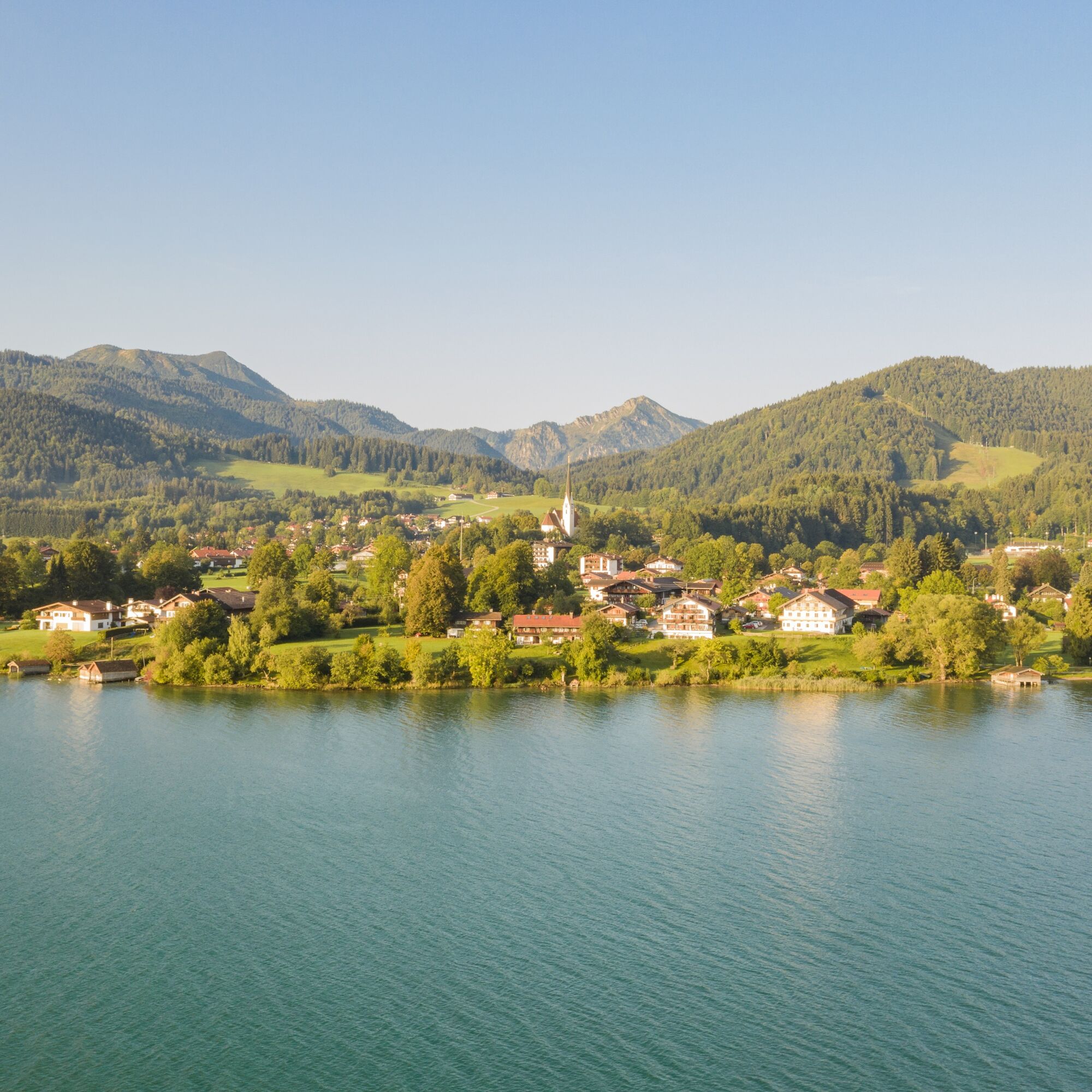
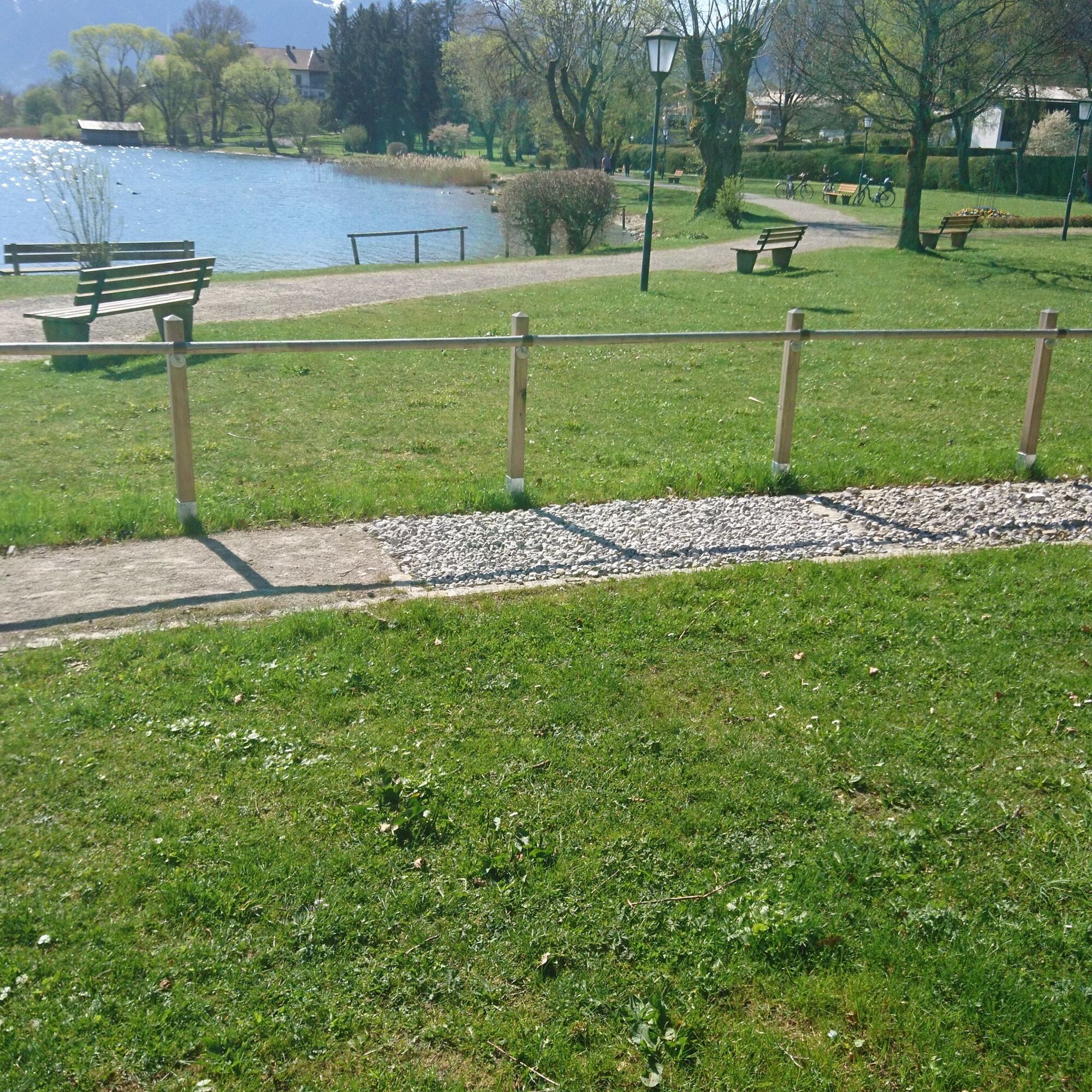
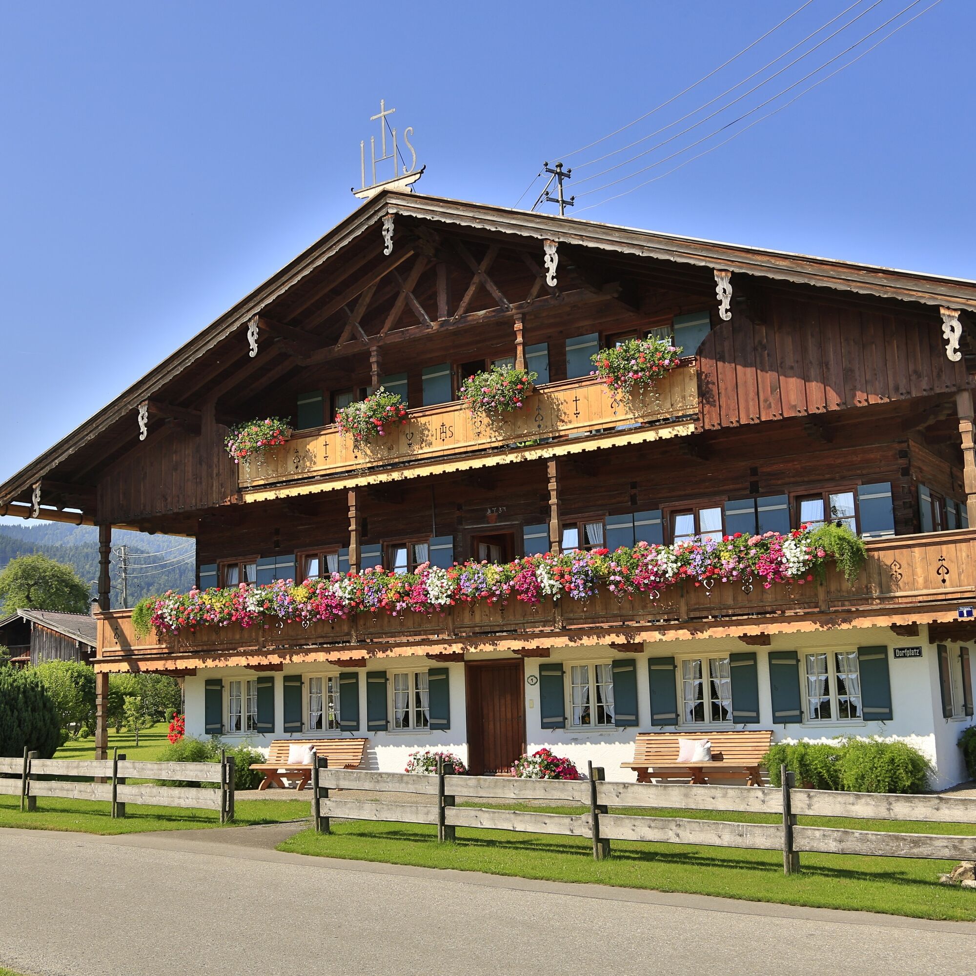
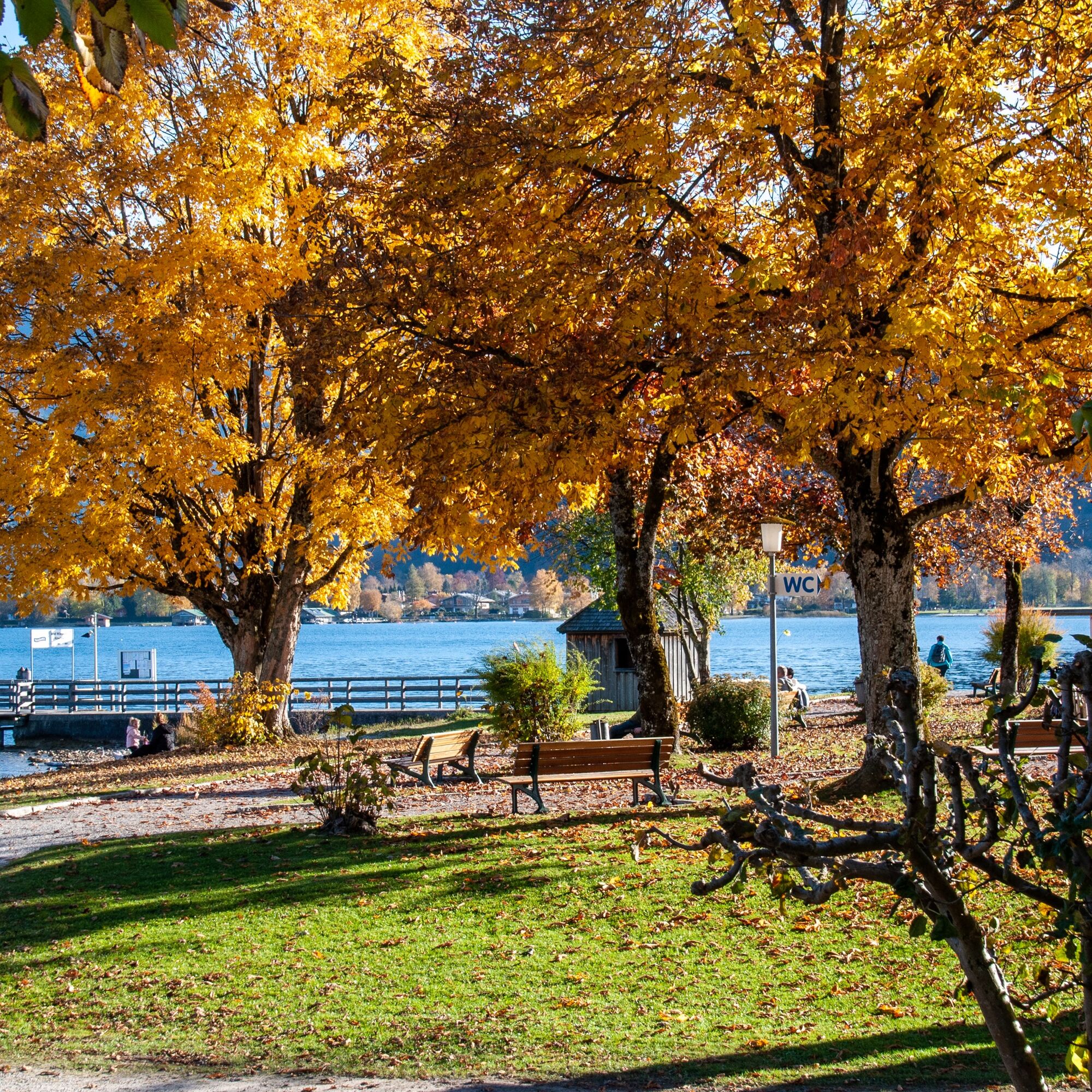
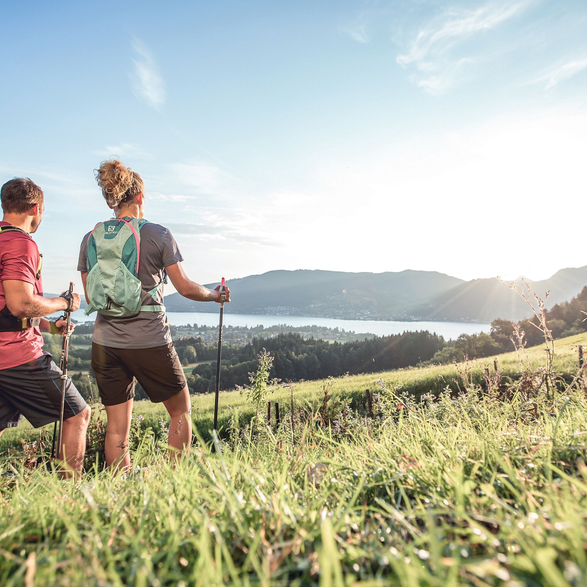
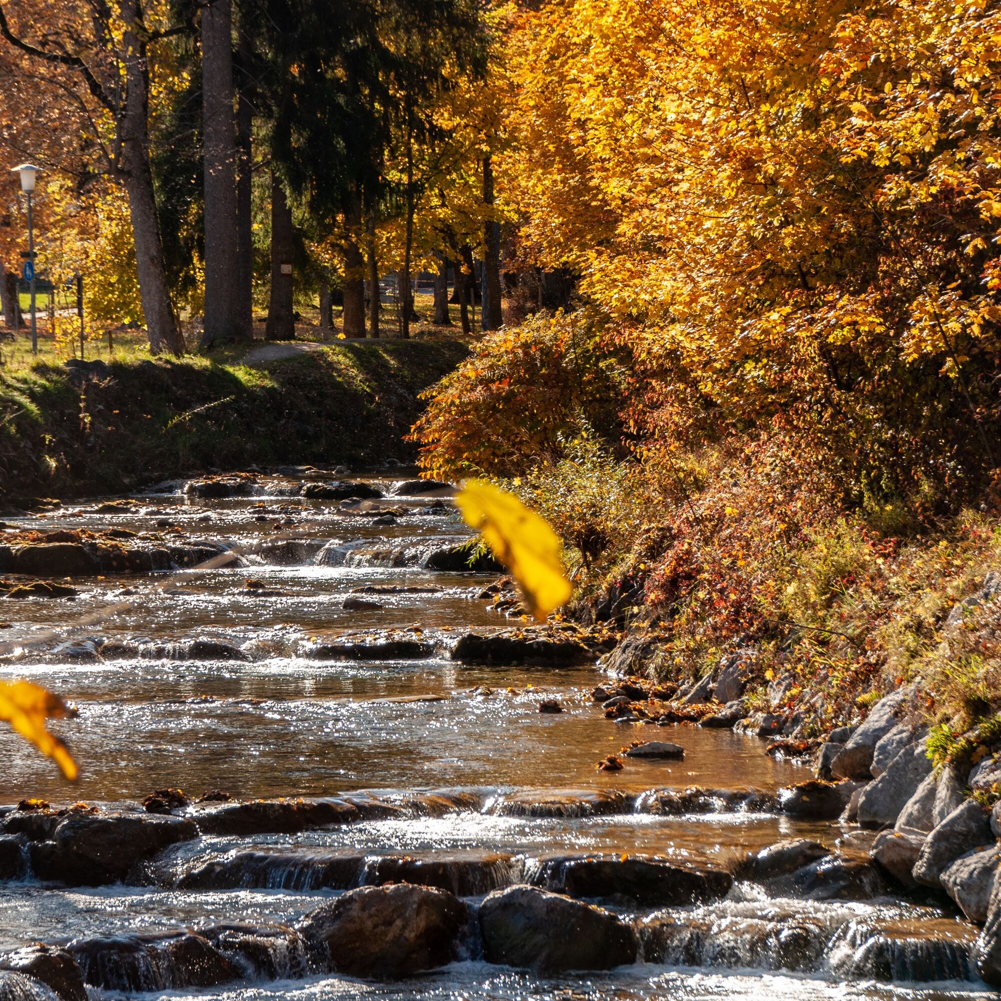
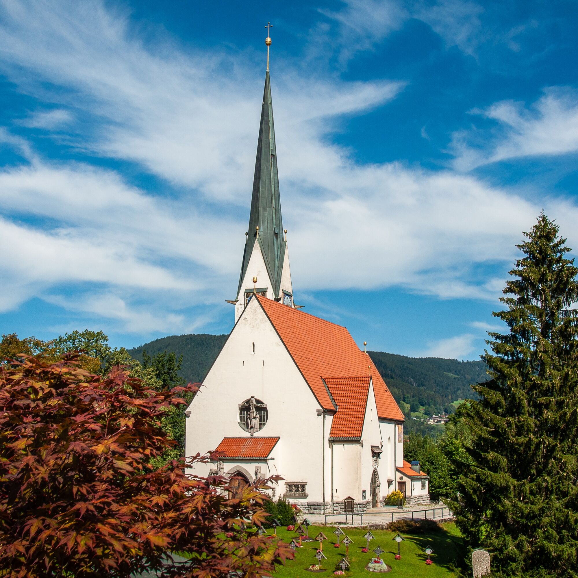

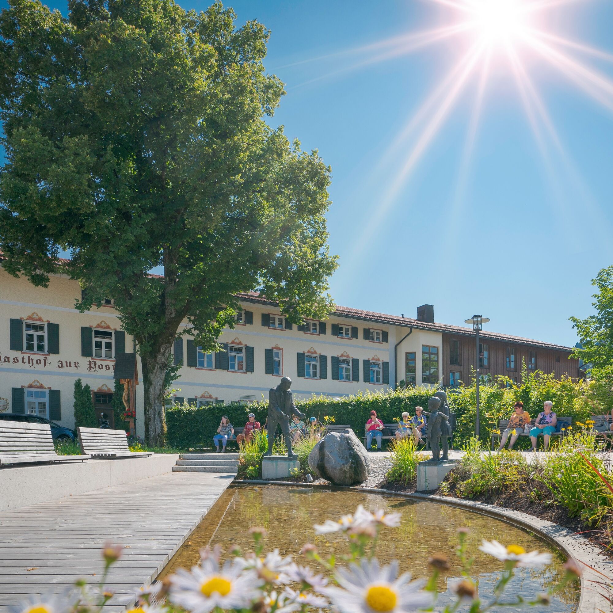

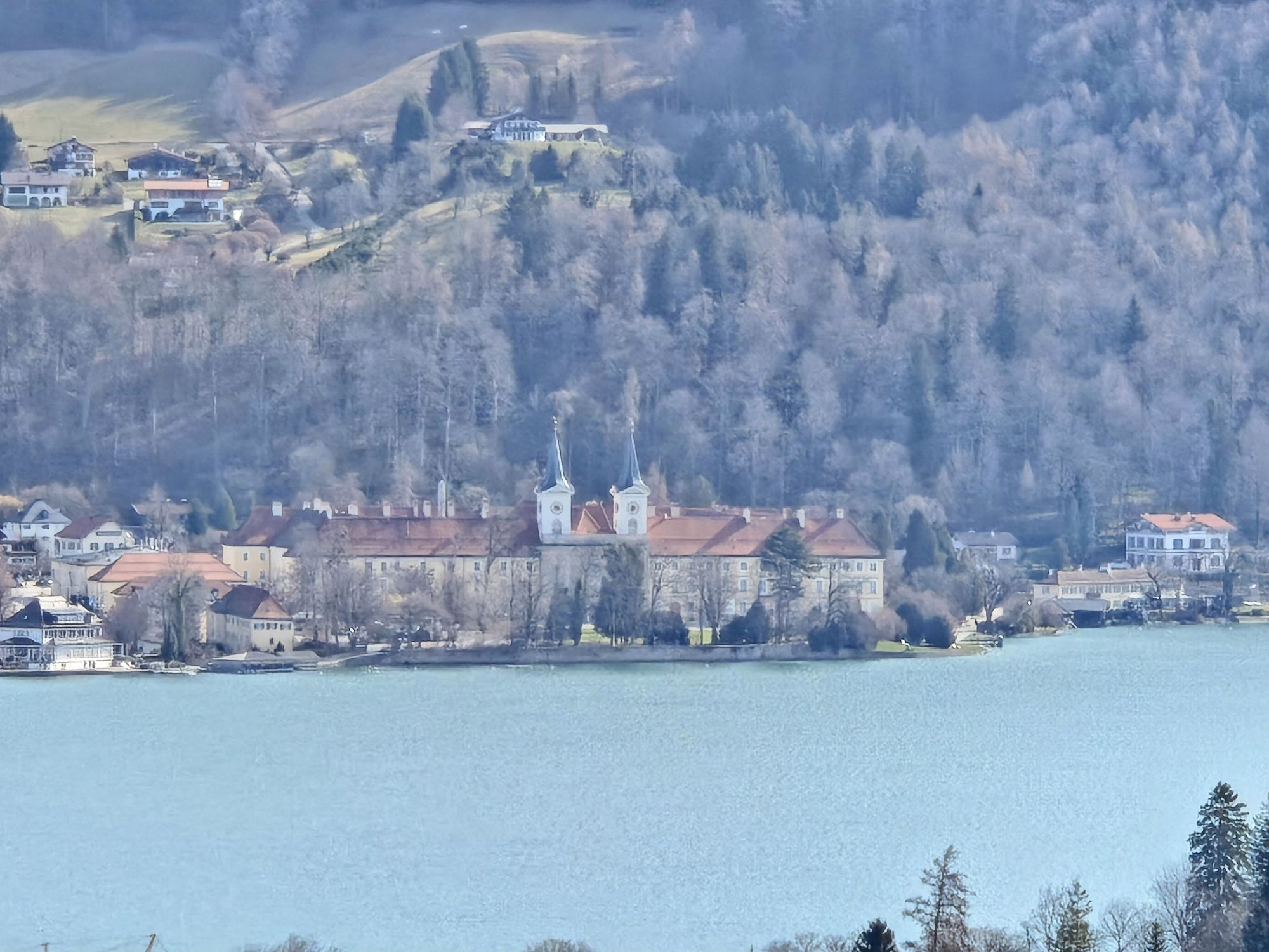
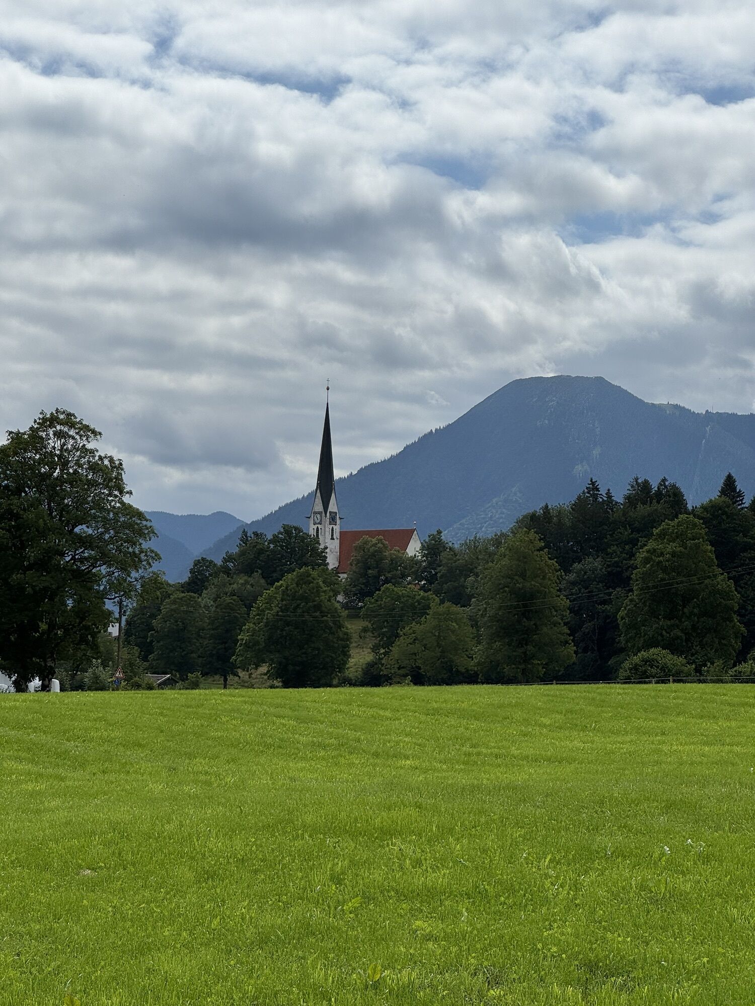
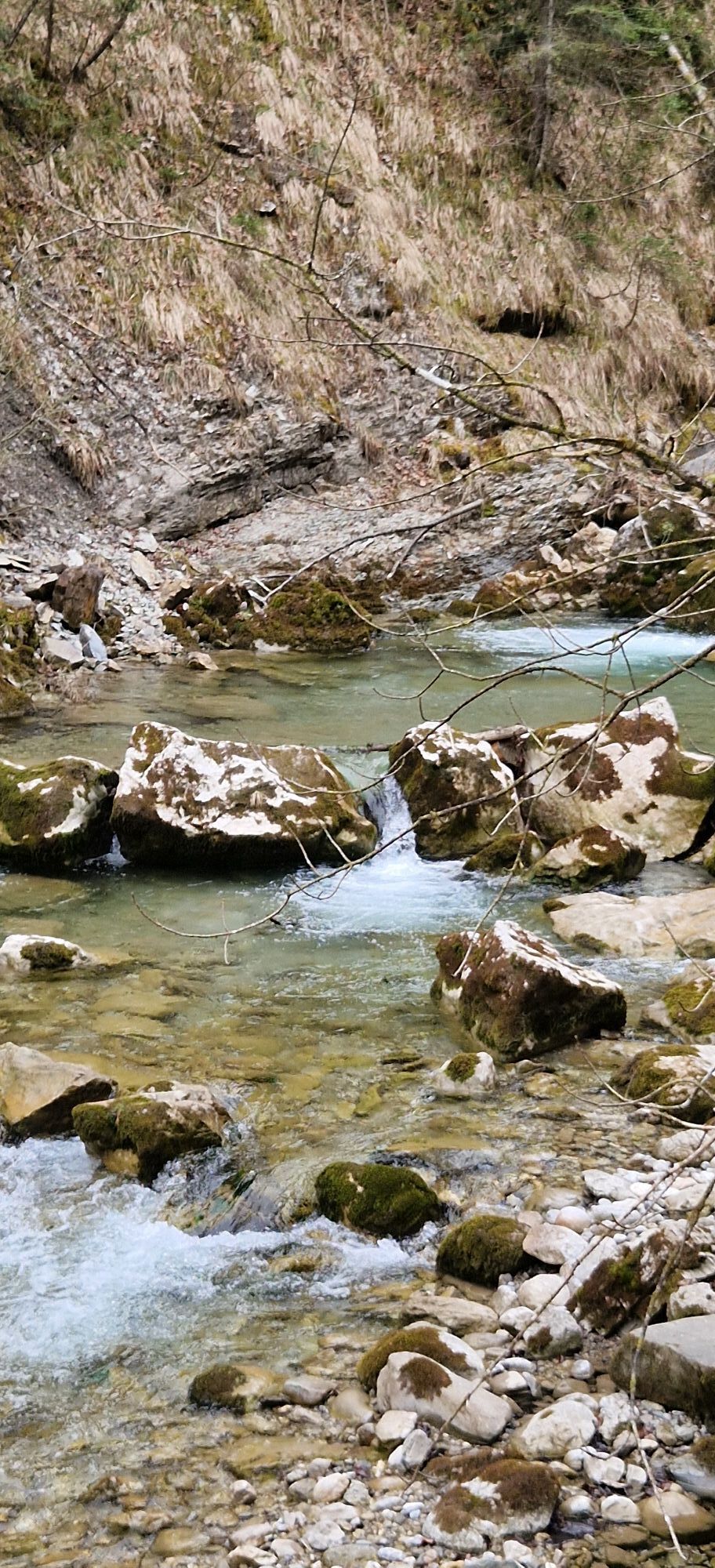
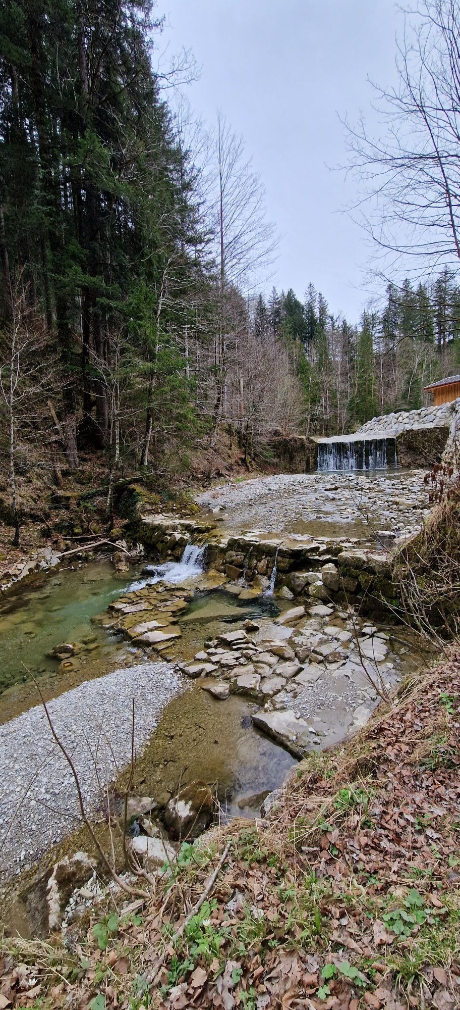
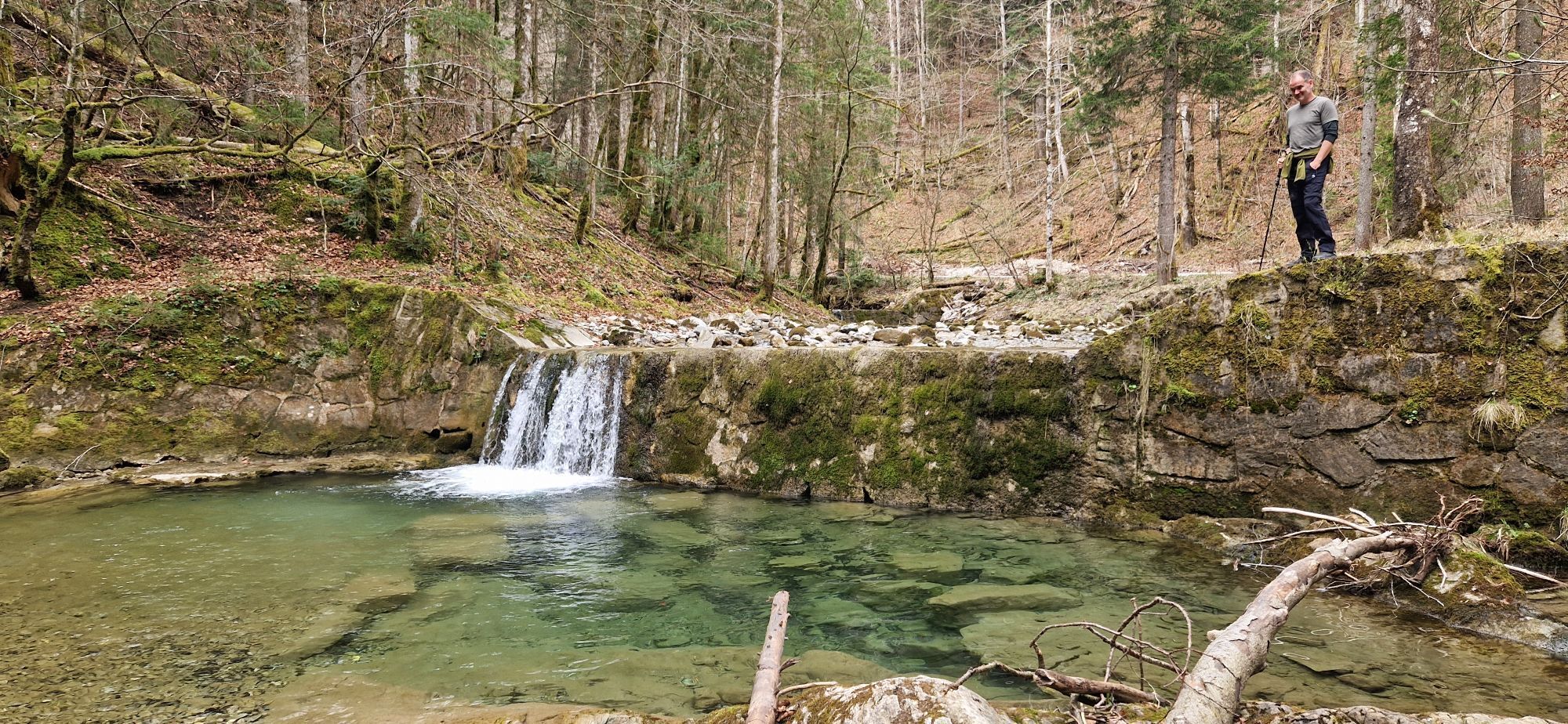
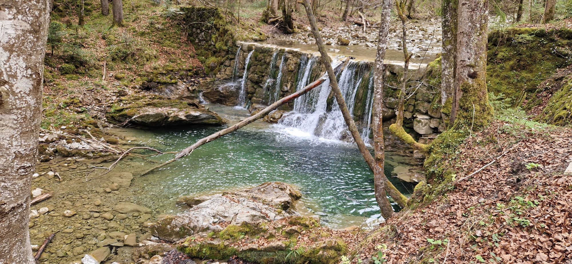
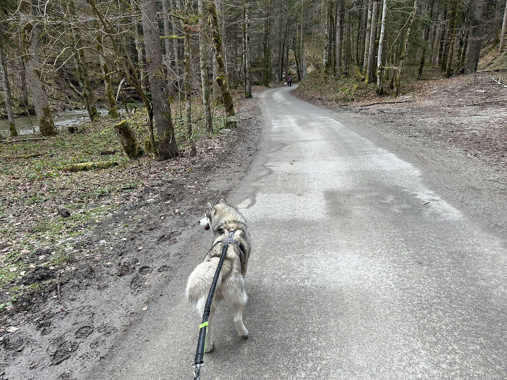
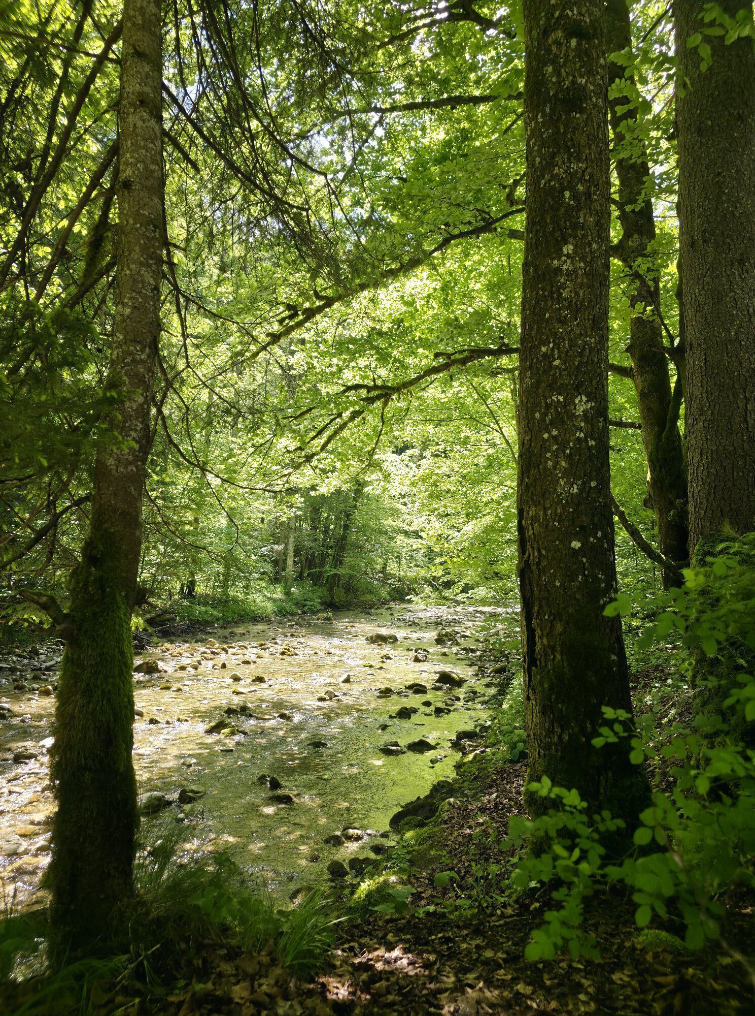
From the parking lot at Dourdanplatz, the route first leads along the lake via the district of Altwiessee to the Aquadome in Abwinkel (route 502). Here, you should take a moment to observe the fish of Lake Tegernsee. At this point, the Söllbach also flows into the Tegernsee. We follow it upstream to the federal road (route 604). After crossing it at the pedestrian crossing, the Bucherweg turns right towards the farms. Route 601 first leads uphill to Buch and then, with a beautiful view of Lake Tegernsee, past the chapel St. Georg to the Bauer in der Au. On the right side, just past the former inn, the return path first leads into the Söllbach valley and along the Söllbach to the federal road (604). In sight of the road, the Radlmeierweg turns left to the Catholic Church Maria Himmelfahrt. Above the cemetery, the route first leads left to the sports field and then along the Zeiselbach back to the starting point at Lindenplatz. Those who have time also visit the beautiful mountain cemetery and the church beforehand.
Áno
Sturdy footwear as well as clothing adapted to the weather, possibly a rain jacket, drinking bottle, first aid kit.
All information without guarantee. Walking and riding the routes described here is at your own risk.
A8 to Holzkirchen exit, via B318 and B307 to Bad Wiessee.
By MVV to Bad Wiessee, bus stop "Lindenplatz" or for the shorter round trip bus stop "Söllbach".
Bad Wiessee, Dourdanplatz

Webové kamery z prehliadky

Obľúbené výlety v okolí
-
4,8
Königsalm
strednáTuristika 10,0 km -
4,7
Alpbach valley and Neureuth
strednáTuristika 12,9 km -
4,6
Summit route to the Wallberg
strednáTuristika 12,2 km -
4,6
Roß- and Buchstein, Tegernsee Hut
ťažkéTuristika 14,4 km -
4,8
Leonhardstein
strednáTuristika 8,17 km -
4,3
Tegernsee Höhenweg - North
svetloTuristika 12,3 km -
4,8
Lengrieser Hütte
strednáTuristika 10,6 km -
4,7
Hirschberg
strednáHorská turistika 12 km -
4,6
Brecherspitze
strednáHorská turistika 14,5 km -
3,8
Aueralm und Fockenstein
strednáTuristika 14,1 km
Turistika a stopovanie


Nenechajte si ujsť ponuky a inšpiráciu na ďalšiu dovolenku
Vaša e-mailová adresa bol pridaný do poštového zoznamu.





