







Tronsberg Round

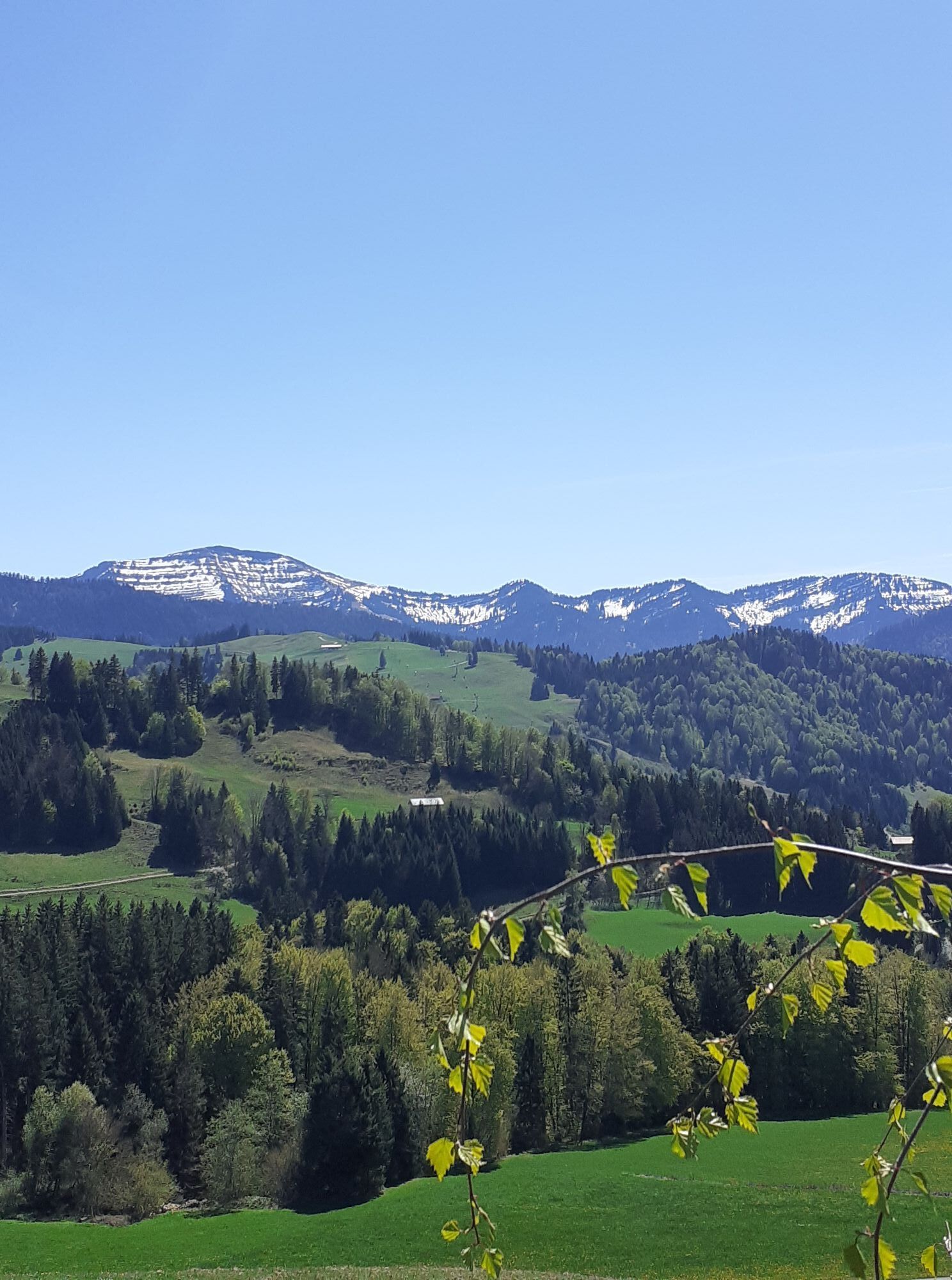
We start from the train station along the railway line to Kalzhofer Street. On this street into the district of the same name and further up the Hompessenalpweg at a consistent incline. After the first...
We start from the train station along the railway line to Kalzhofer Street. On this street into the district of the same name and further up the Hompessenalpweg at a consistent incline. After the first long straight section, follow the sign to the right over Kasper's hut and Wucher's alp, continuing along the less frequented alpine path to the end. A beautiful view across to the Hochgrat accompanies the first section. At Wucher's alp, a narrow path leads right through a small ravine over to Tronsberg. There, along the lightly trafficked road, through the village and further downhill to Wengen. On the promenade towards Oberstaufen at the Wengen barn to the village entrance. Via Immenstädter Street, you reach the starting point at the train station.


Áno
Webové kamery z prehliadky


Obľúbené výlety v okolí
-
4,6
Steibis - Buchenegger Waterfalls
strednáTuristika 6,47 km -
4,5
Hittisau | Wasserwanderweg
svetloTematická trasa 7 km -
4,7
Rindalphorn und Hochgrat
strednáTuristika 15,6 km -
5,0
Nagelfluh ridge route Hochgrat - Mittag
ťažkéTuristika 14,0 km -
4,9
Immenstädter Horn
svetloTuristika 9,35 km -
4,1
Circular route Hündle to the Buchenegger Waterfalls
strednáTuristika 9,69 km -
4,5
Hittisau | Rundwanderung von Hittisau zum Hochhäderich
strednáTuristika 9,22 km -
4,5
Immenstädter Horn - Gschwender Horn
svetloTuristika 10 km -
4,8
Grosser-Alpsee-Rundweg-11-km
svetloTuristika 10,9 km -
4,4
Circular route Steibis to Dreiländerblick
strednáTuristika 7,95 km
Turistika a stopovanie


Nenechajte si ujsť ponuky a inšpiráciu na ďalšiu dovolenku
Vaša e-mailová adresa bol pridaný do poštového zoznamu.





