






To the Dötzenkopf - the "smallest" 1000 meter peak of the Berchtesgadener Alps

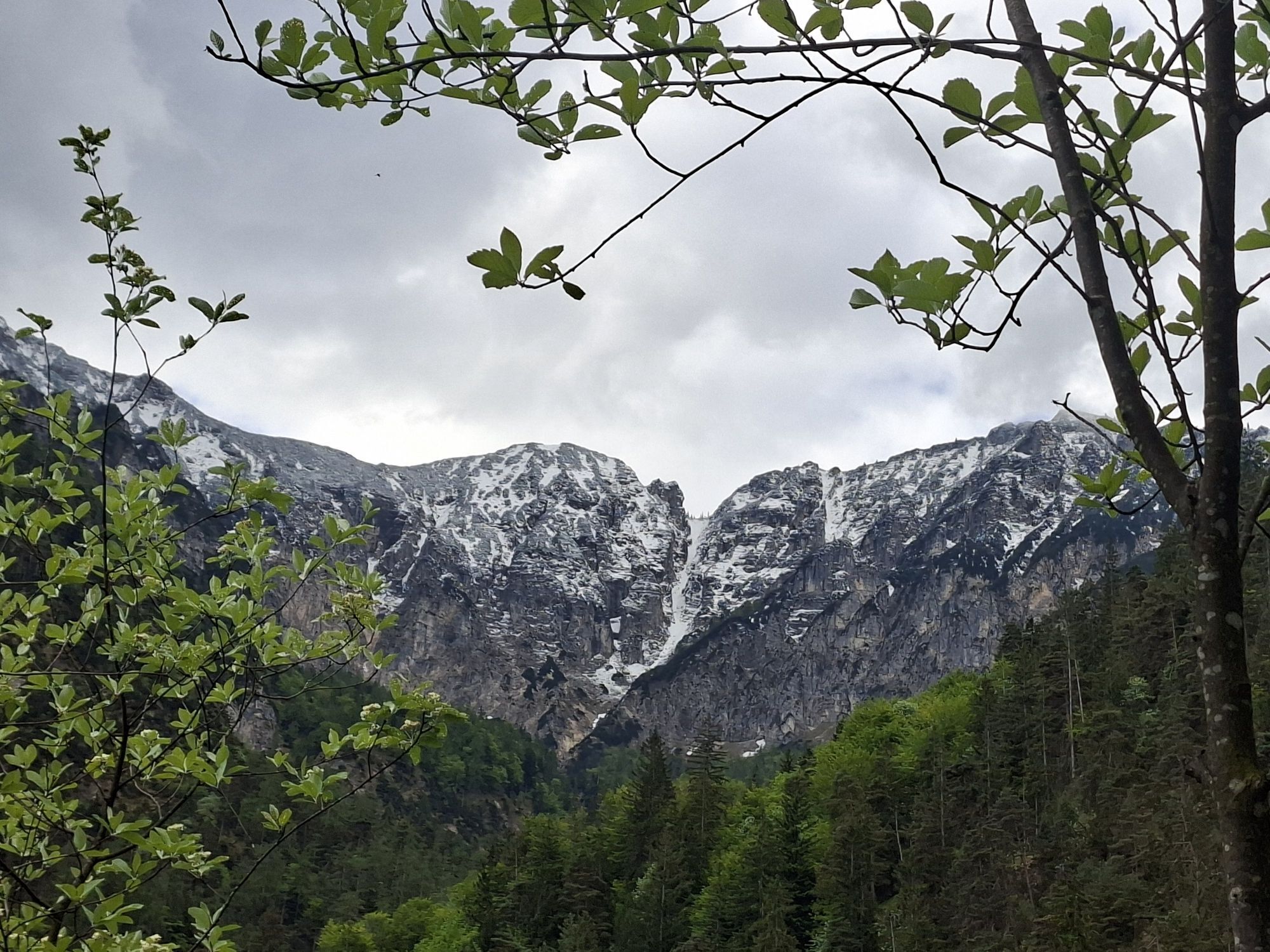
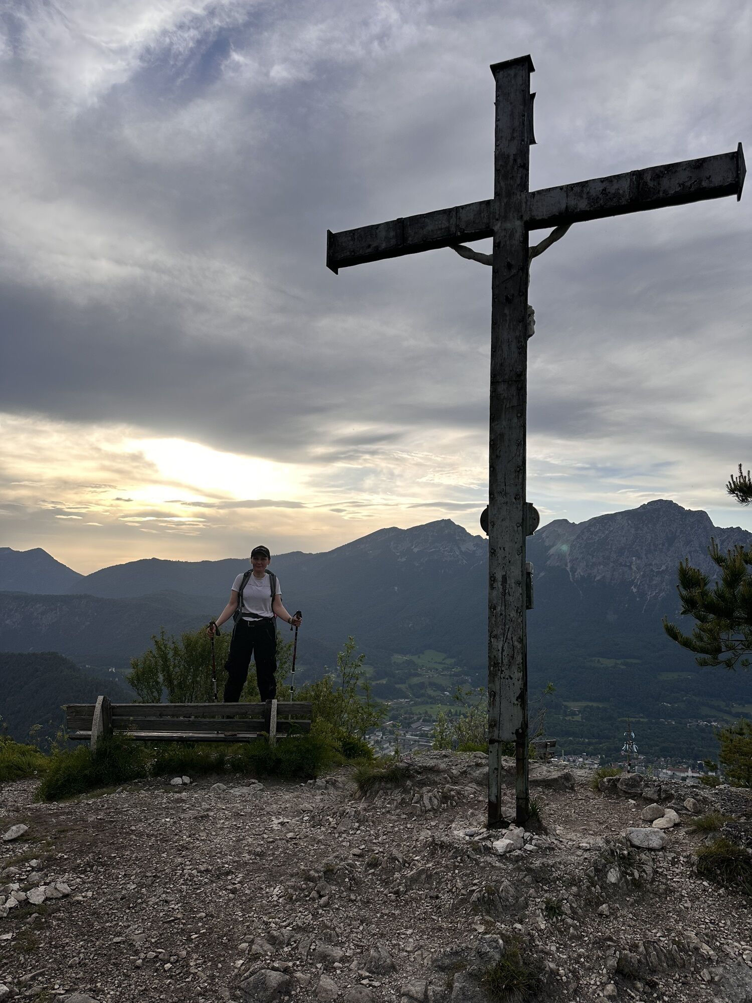

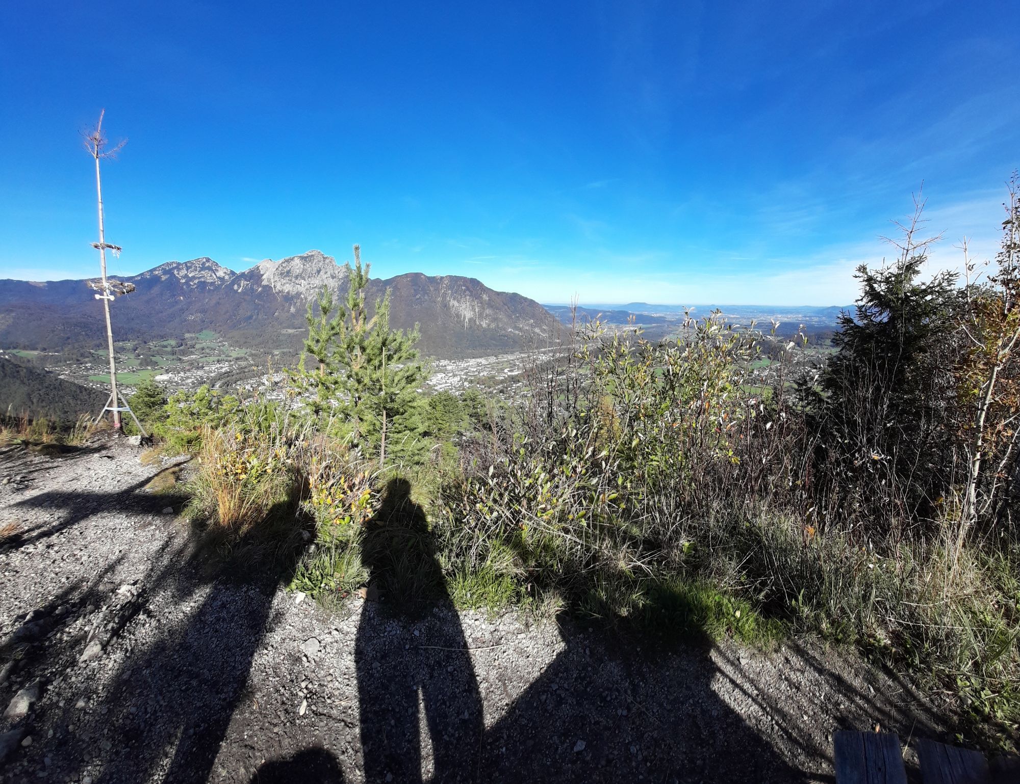
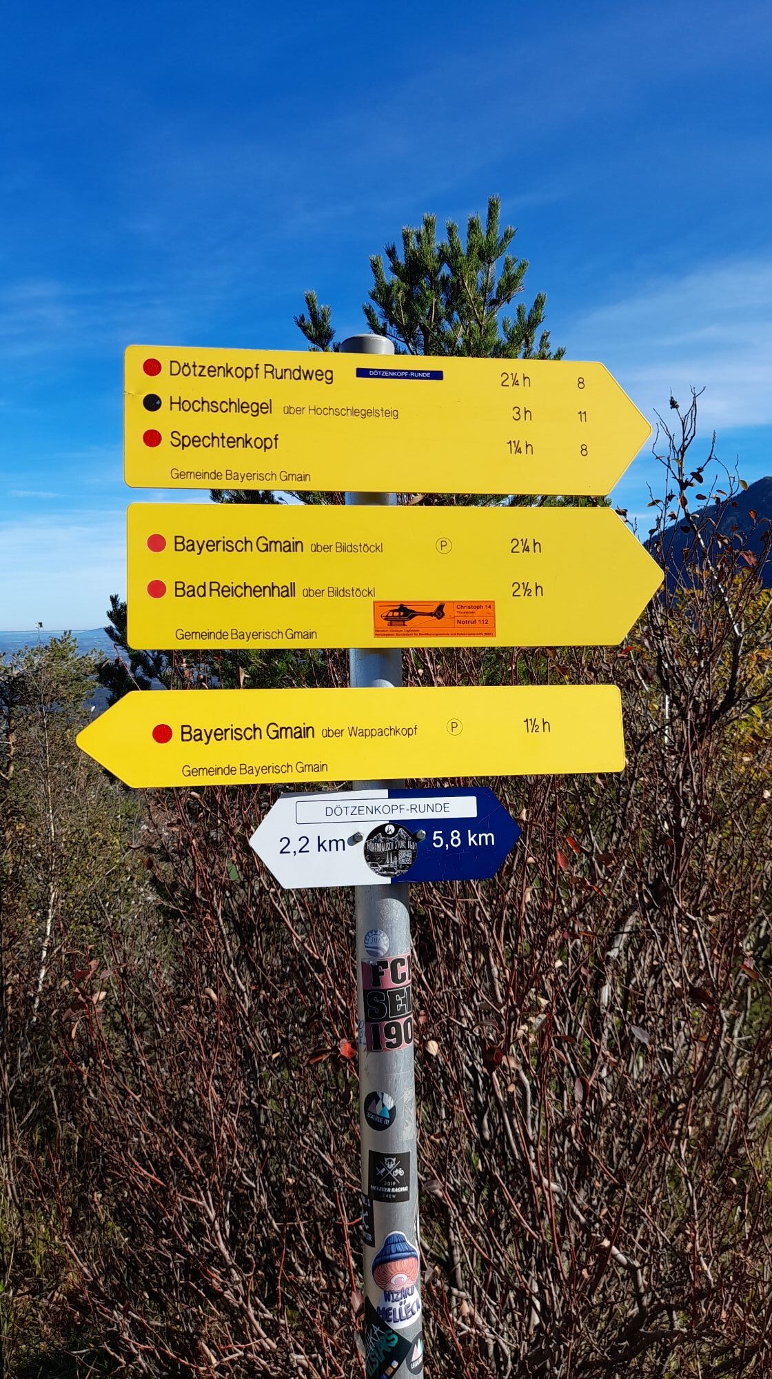
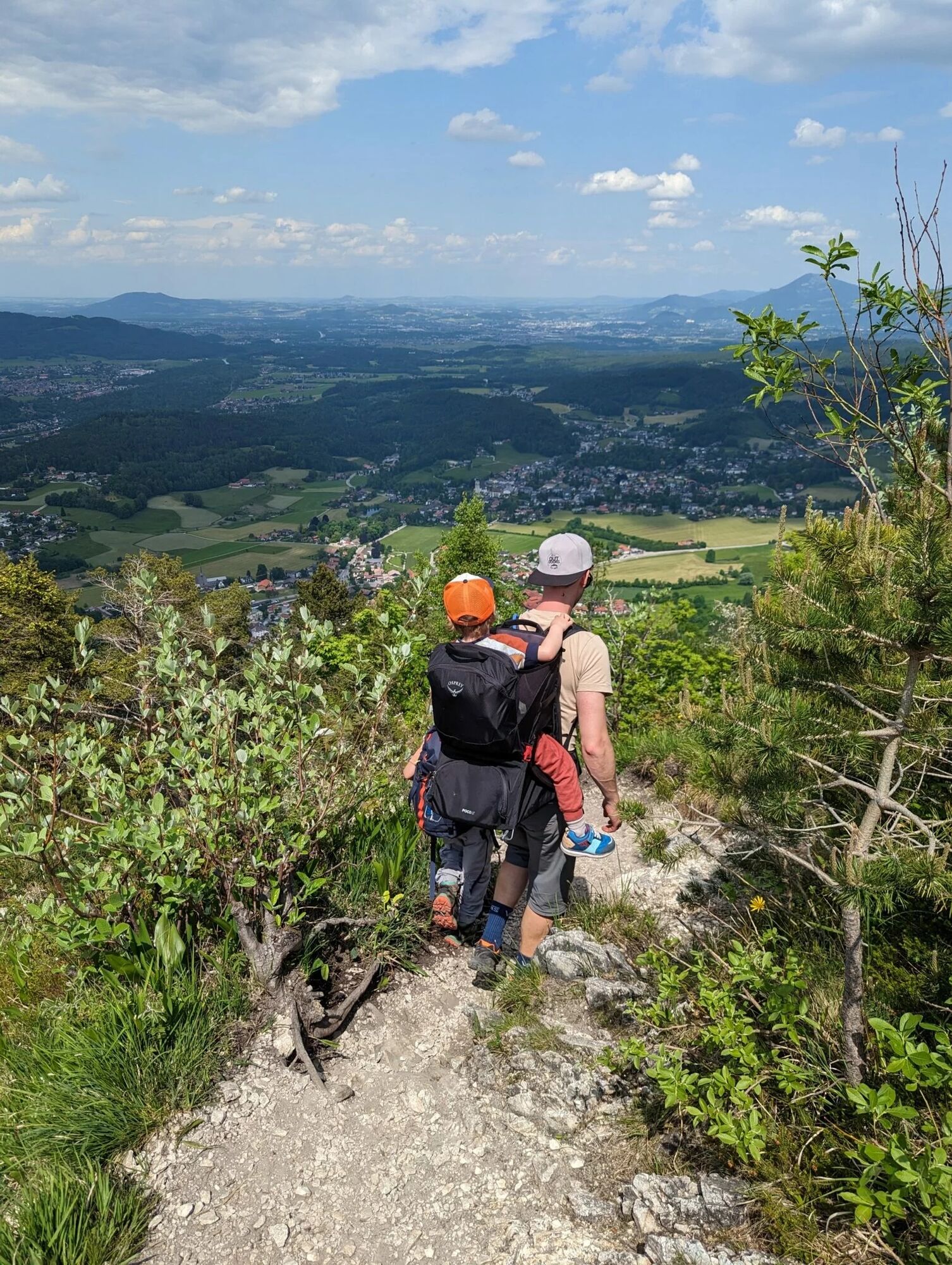
Although the path to the Dötzenkopf is short, it is steep and has slightly alpine terrain. At 1,001 m, it is the lowest 1000 meter peak in the Berchtesgadener Alps. The hike to the Dötzenkopf starts at...
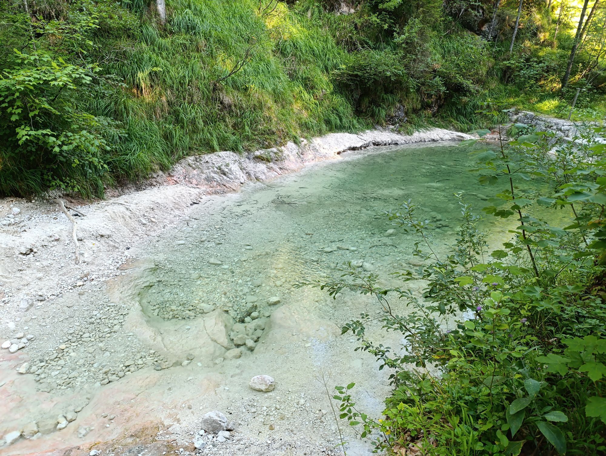
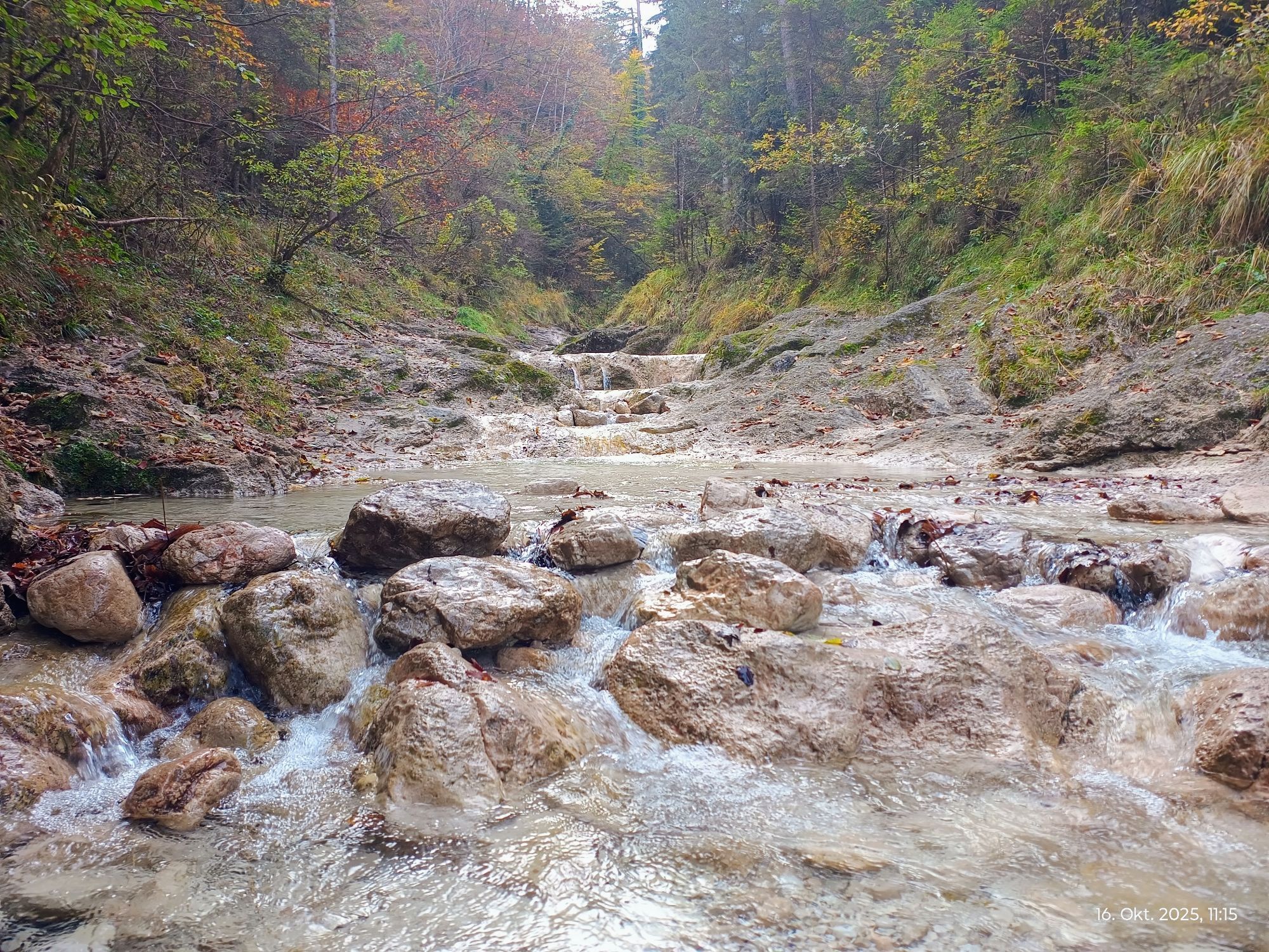
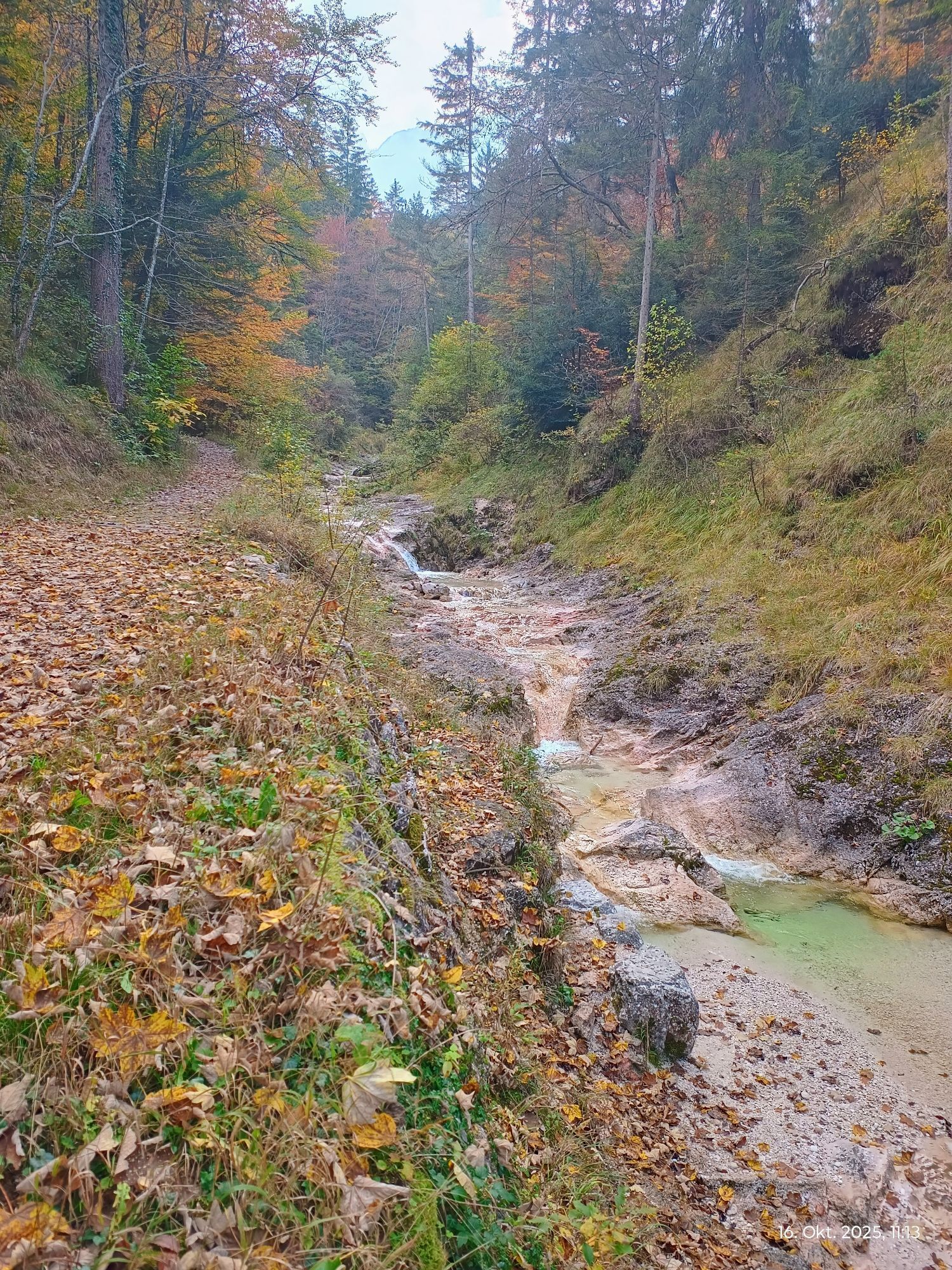
Although the path to the Dötzenkopf is short, it is steep and has slightly alpine terrain. At 1,001 m, it is the lowest 1000 meter peak in the Berchtesgadener Alps. The hike to the Dötzenkopf starts at the Bayerisch Gmain hiking car park and follows the wide path marked "Dötzenkopf". Shortly after, you have to cross the Wappbach. In summer, the cool water with its pools invites you to splash and play.
Opposite, you go up a moderately steep path and through the forest. After about 30 minutes, we turn right and take a break on the viewing bench at Wappachkopf.
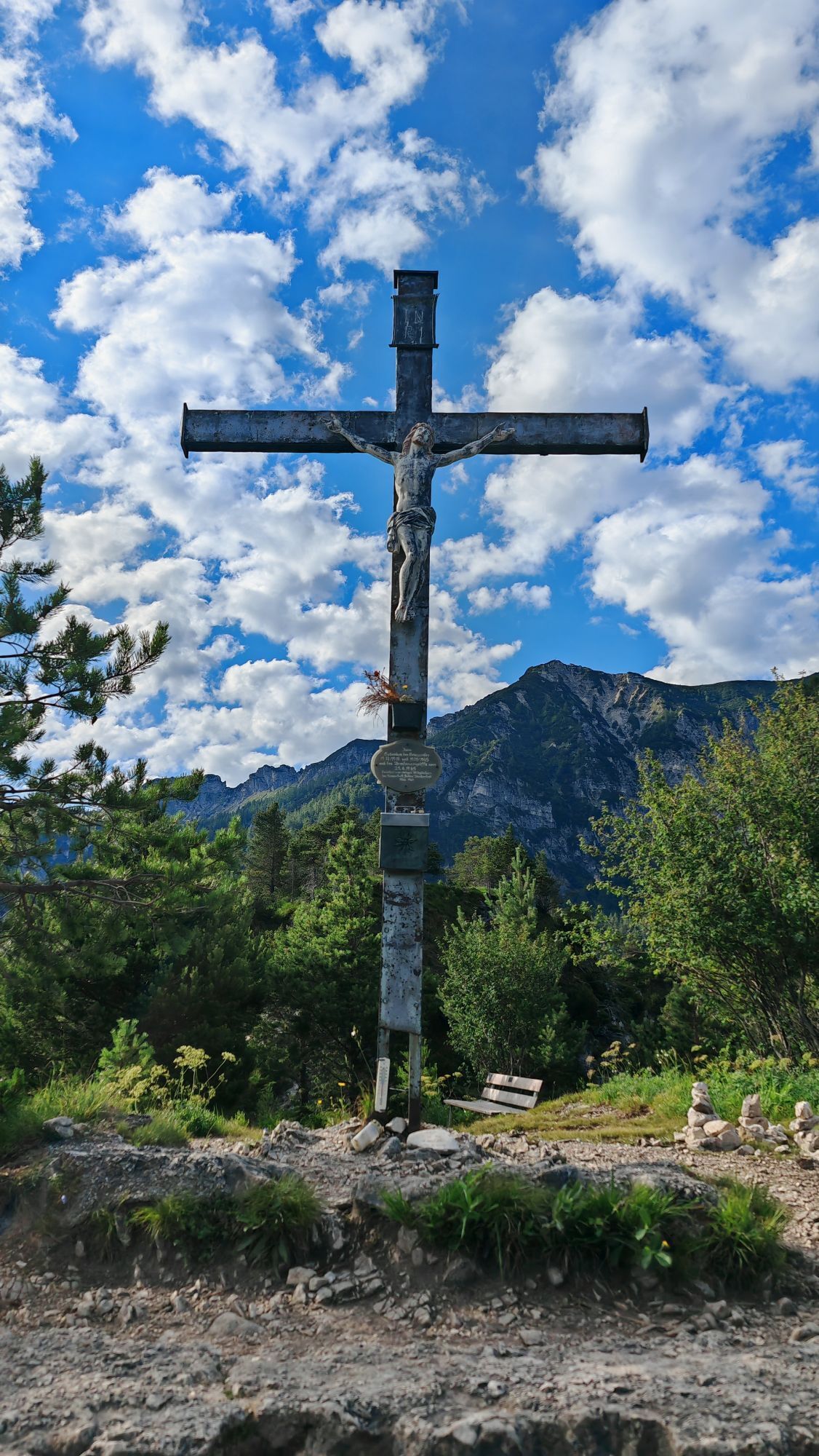
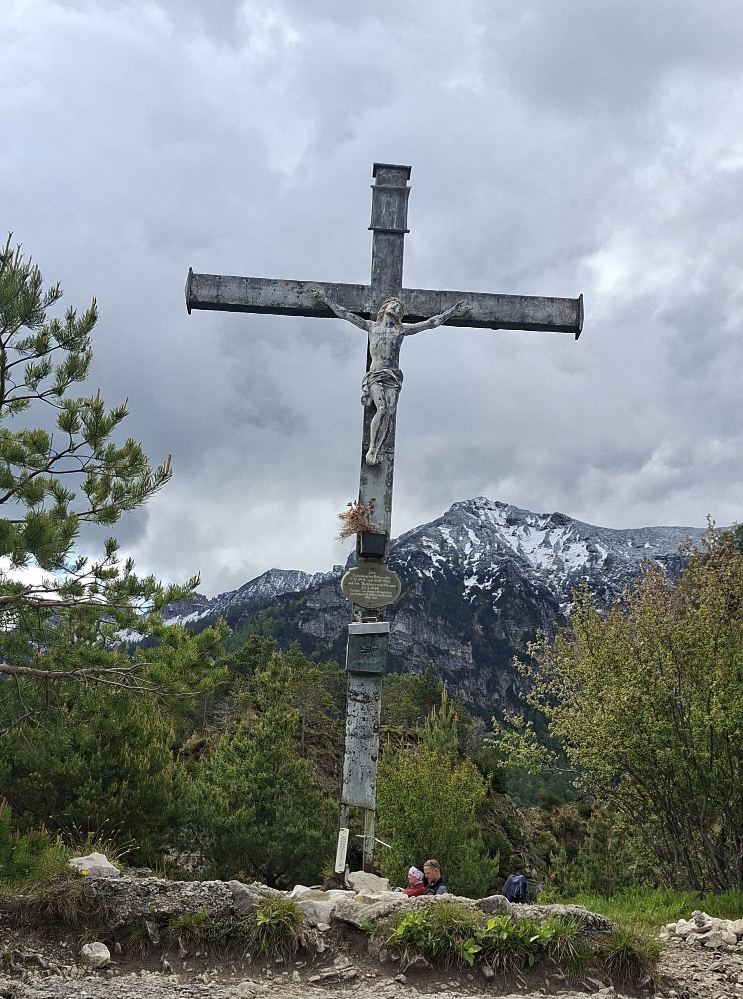
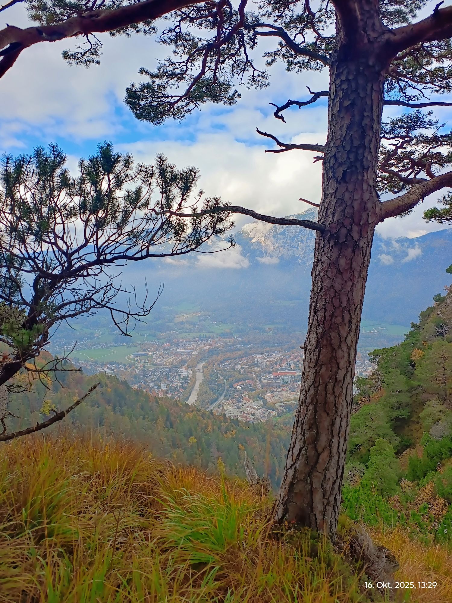
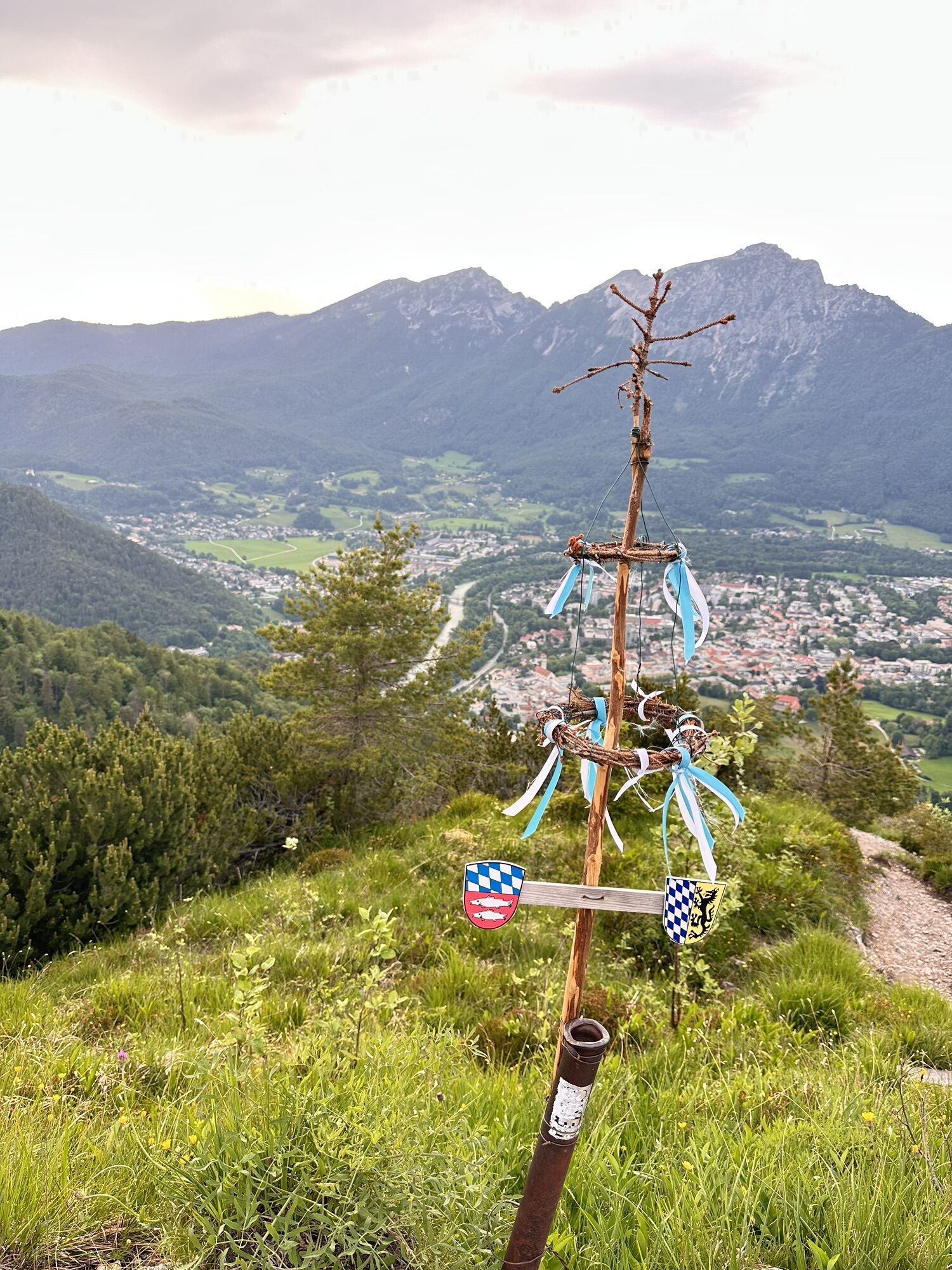
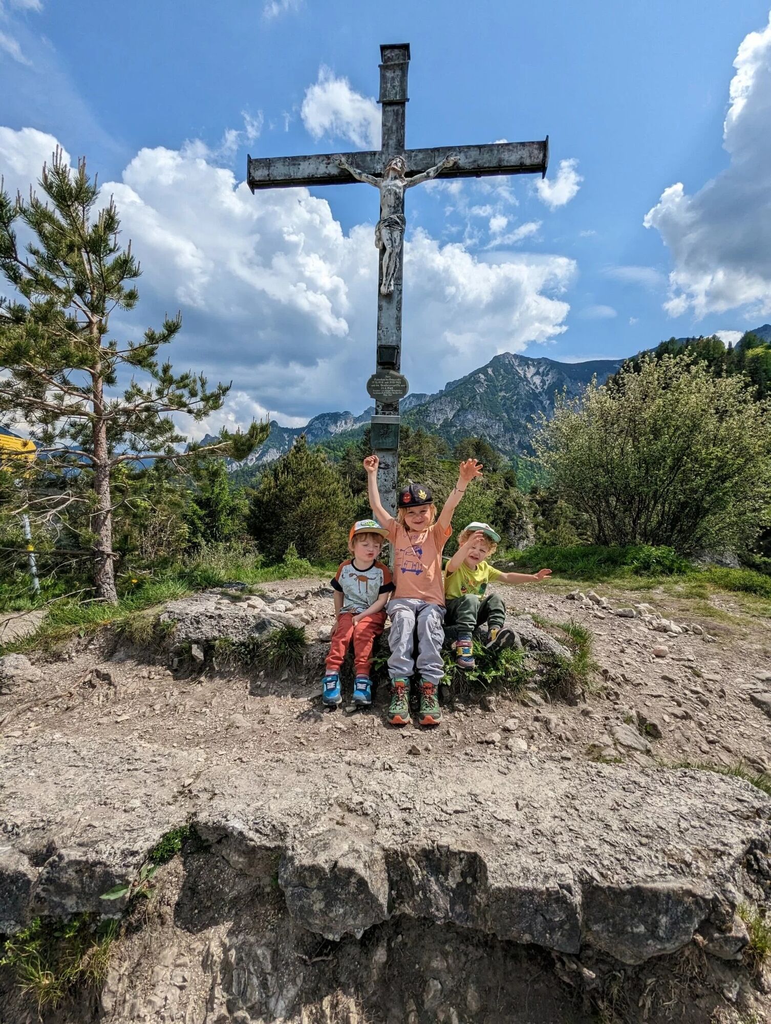
From here, the path gets steadily steeper. Just before the Dötzenkopf summit it becomes rockier and more alpine; surefootedness is essential here. The route is not easy but varied and quite attractive – also for children. The four benches on the summit invite you to a cozy snack while butterflies flutter around you and you enjoy a magnificent view.


Áno
Áno
Áno
Proper hiking shoes and surefootedness are absolutely necessary.
By regional bus 180, for example from Salzburg Aiglhof via Großgmain to Bayrisch Gmain town.
Timetable information and download: Online at www.salzburg-verkehr.at or on your smartphone via the free Salzburg Verkehr app for Android and iOS.
Detailed information about the hike to the Dötzenkopf
Information & contact
Thomas Grah & Kristina Karl
5061 Elsbethen
Instagram: @adventuremo.de
Blog: www.adventuremo.de
Photo credit: Kristina Karl
There are no places to stop for food here, so bring a snack and enough water.
Hiking poles can be useful.

Webové kamery z prehliadky

Aktivity počas prehliadky
-

Bayerisch Gmain, Bayern/Deutschland
27.09.2026 – Turistika -

Bayerisch Gmain, Bayern/Deutschland
26.09.2026 – Turistika -

Bad Reichenhall, Bavaria/Germany
25.09.2026 – Turistika -

Dötzenkopf
25.09.2026 – Turistika -
Bad Reichenhall, Bavaria/Germany
16.09.2026 – Turistika -
Bad Reichenhall, Bavaria/Germany
12.09.2026 – Turistika -
Bad Reichenhall, Bayern/Deutschland
30.07.2026 – Horská turistika -

Bad Reichenhall, Bayern/Deutschland
29.07.2026 – Turistika -

Bayerisch Gmain, Oberbayern/Deutschland
14.06.2026 – Turistika -
Bayerisch Gmain, Oberbayern/Deutschland
31.05.2026 – Turistika -
Dötzenkopf
31.05.2026 – Turistika -
Bad Reichenhall, Upper Bavaria/Germany
24.04.2026 – Turistika -

Bayerisch Gmain, Alta Baviera/Alemania
12.04.2026 – Turistika -
Bad Reichenhall, Oberbayern/Deutschland
15.03.2026 – Turistika -
Bad Reichenhall, Oberbayern/Deutschland
14.03.2026 – Turistika -
Dötzenkopf
14.02.2026 – Turistika -

Bayerisch Gmain, Oberbayern/Deutschland
19.10.2025 – Turistika
Obľúbené výlety v okolí
-
4,6
Kneifelspitze
Turistika 2,53 km -
4,6
Staufen-Bergtour
ťažkéTuristika 14,1 km -
4,5
Alpgarten-Rundweg
Turistika 2,93 km -
4,2
Durch die Almbachklamm nach Ettenberg
Turistika 7,54 km -
4,5
Grünstein
svetloTuristika 2,57 km -
4,4
Halsalm
Turistika 6,43 km -
4,1
Blaueis - Schärtenspitze
Turistika 7,29 km -
4,2
Untersberg, Toni-Lenz-Hütte
Turistika 4,86 km -
4,0
Rundwanderweg zur Steinernen Agnes
Turistika 9 km -
4,7
Great and Small Barmstein, the landmarks of Hallein
ťažkéTuristika 6,58 km
Turistika a stopovanie


Nenechajte si ujsť ponuky a inšpiráciu na ďalšiu dovolenku
Vaša e-mailová adresa bol pridaný do poštového zoznamu.





