







Mountain hike Häderich - Falken



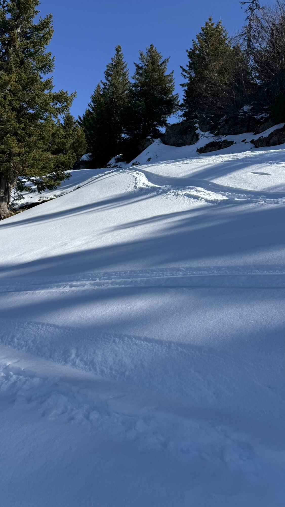
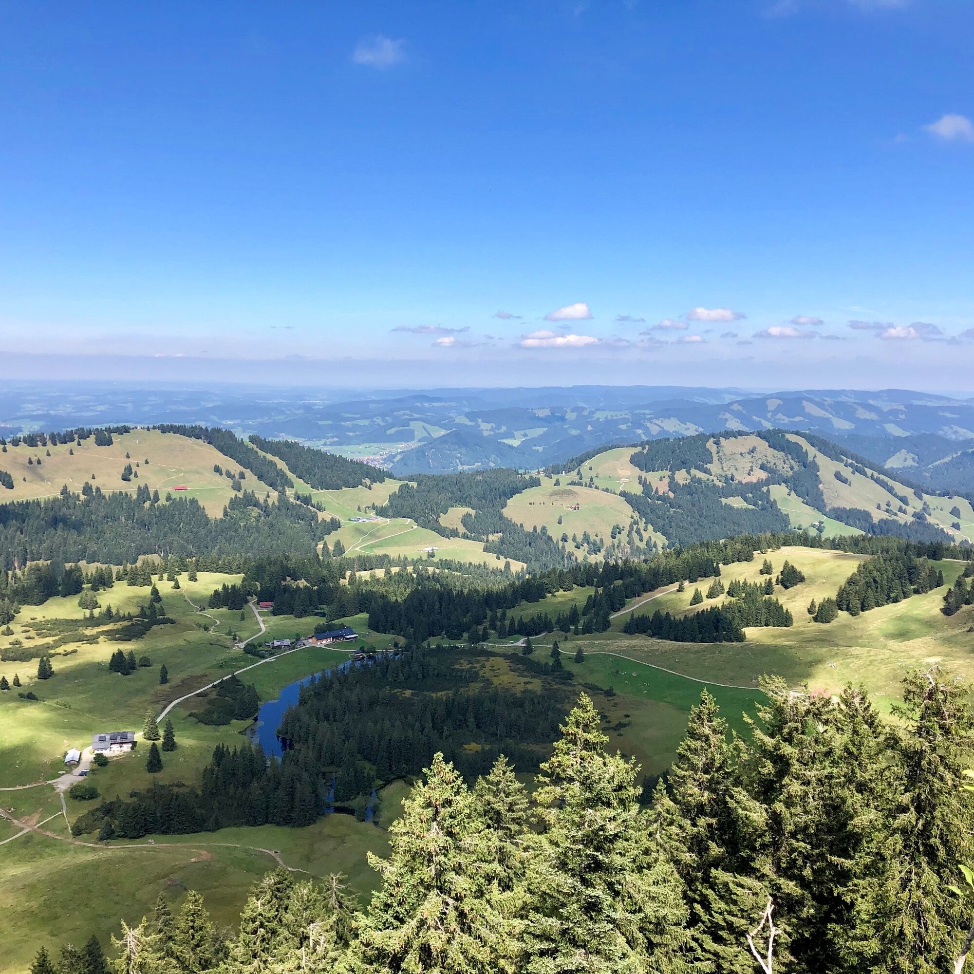
Take the first bus from the Imbergbahn valley station to the terminus at the Alpengasthof Hörmoos (refreshment opportunity). Right next to it is the Hörmoos Lake. Alternatively, take the Imbergbahn to...
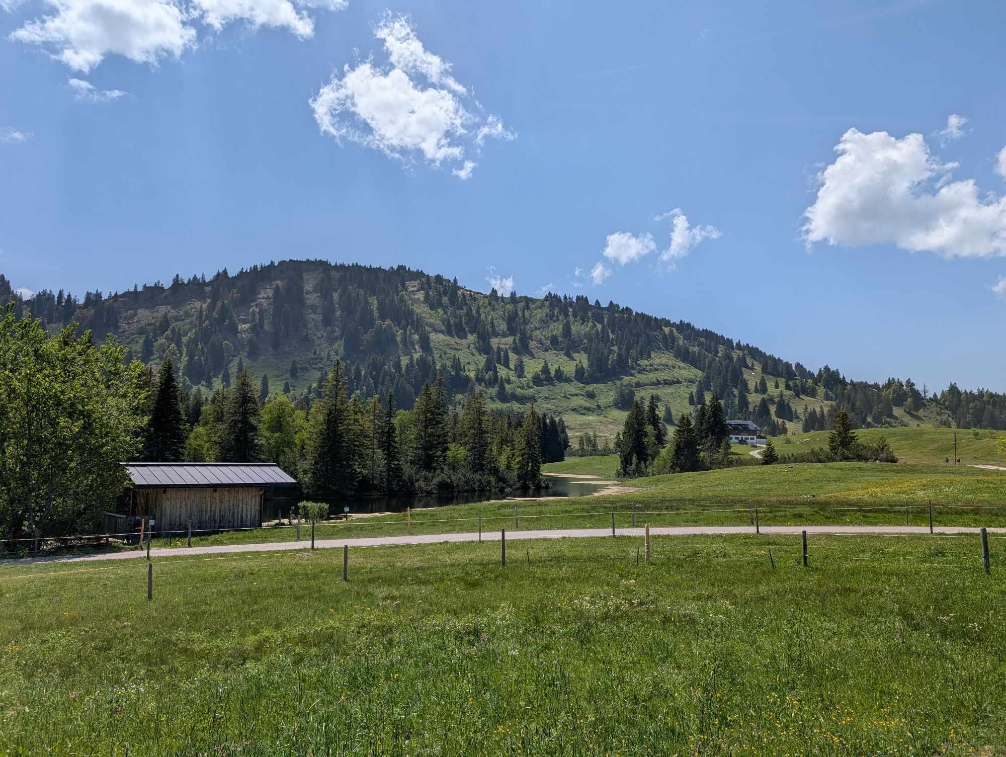
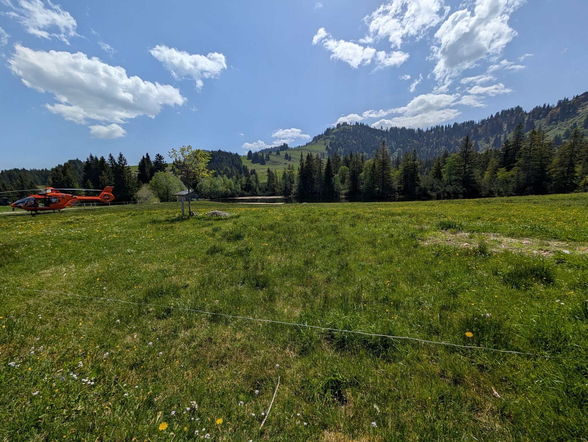
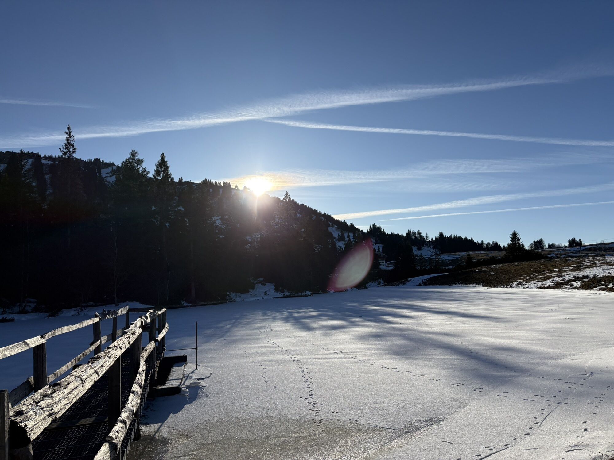
Take the first bus from the Imbergbahn valley station to the terminus at the Alpengasthof Hörmoos (refreshment opportunity). Right next to it is the Hörmoos Lake. Alternatively, take the Imbergbahn to the mountain station and walk to the lake or take the shuttle bus from the Imberghaus.
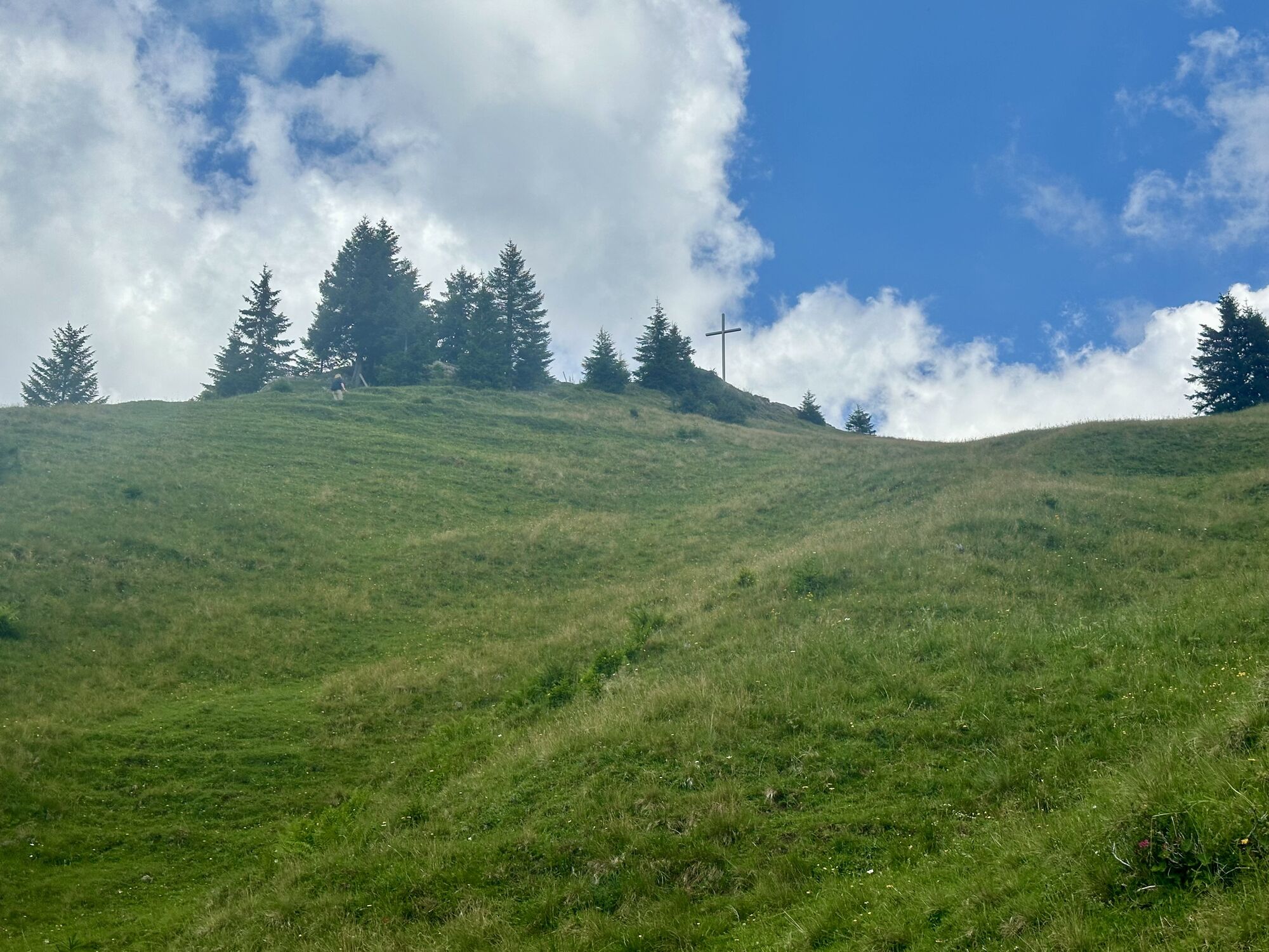
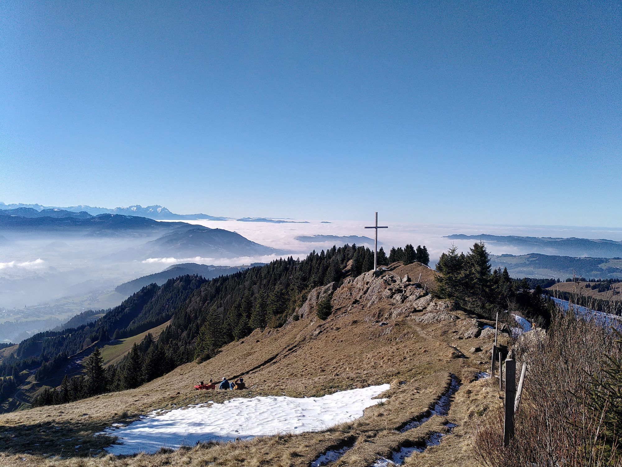
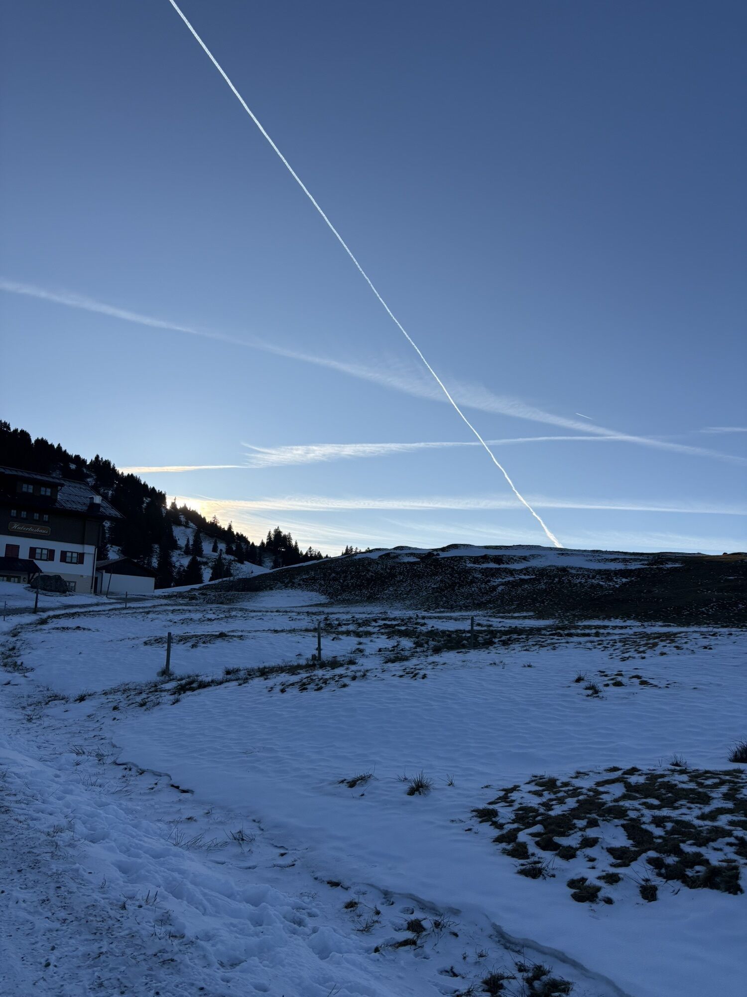
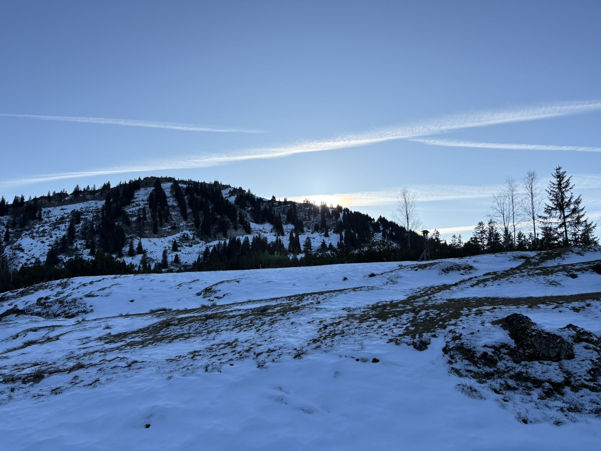
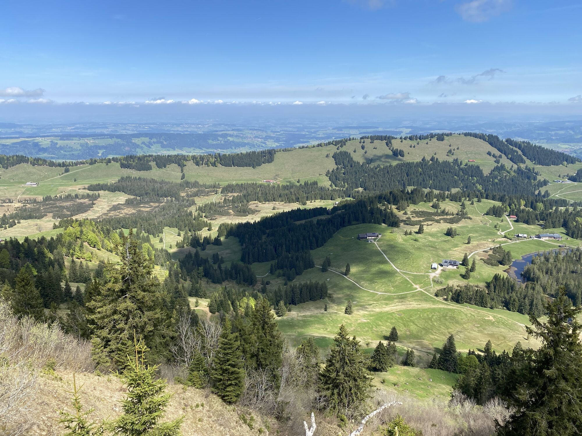
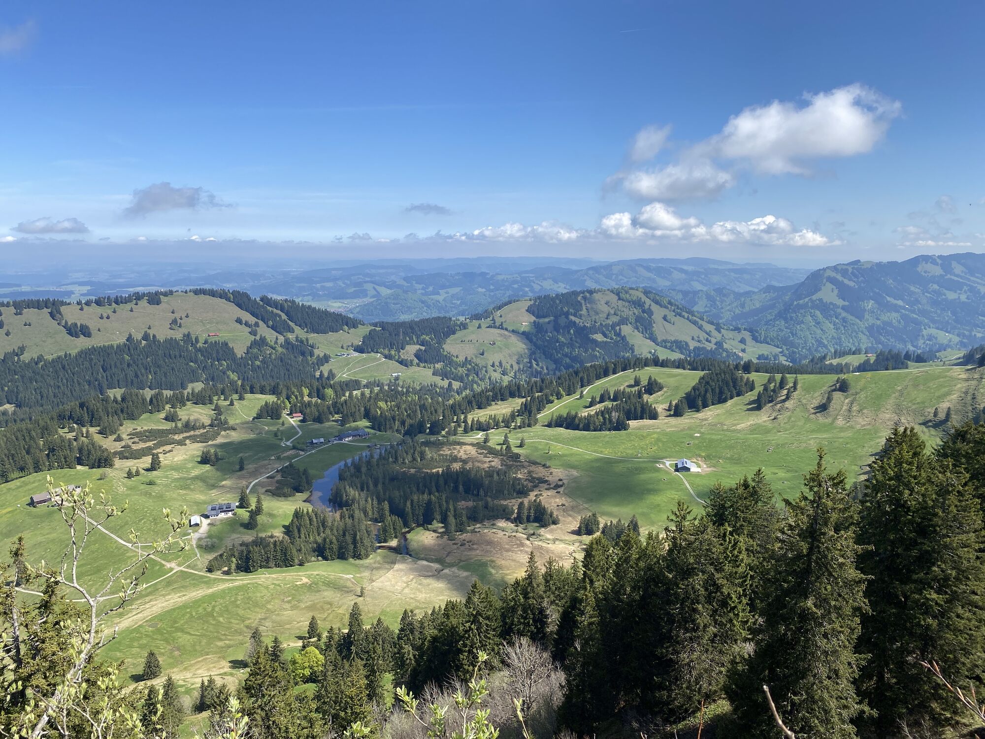
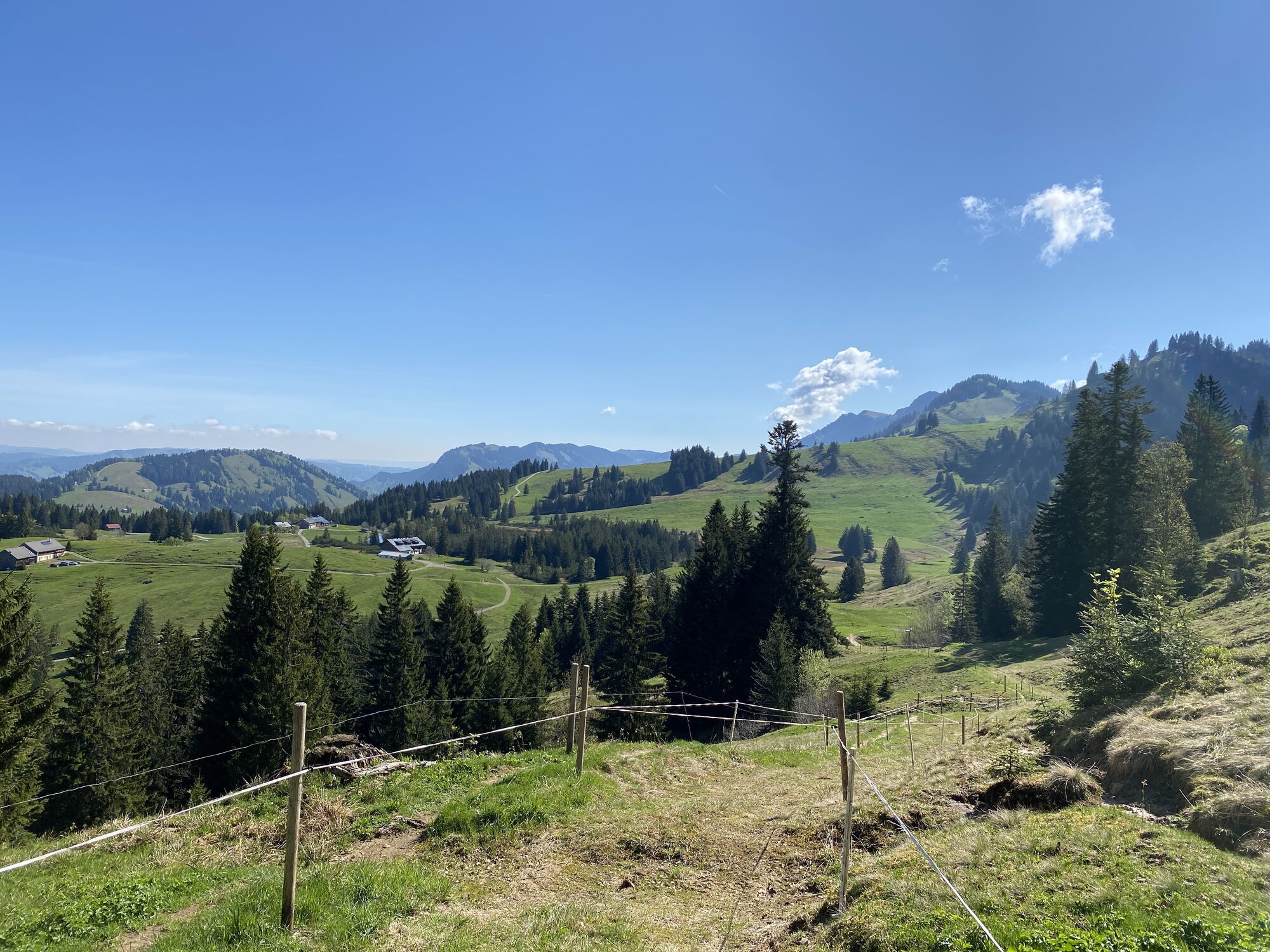
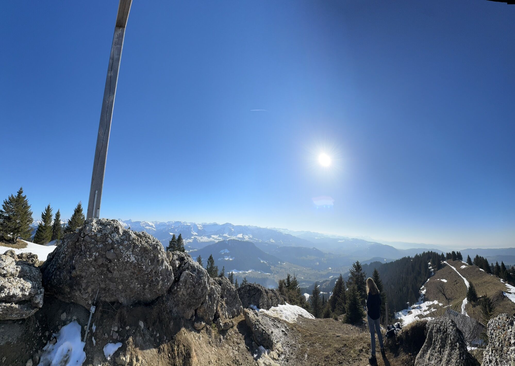
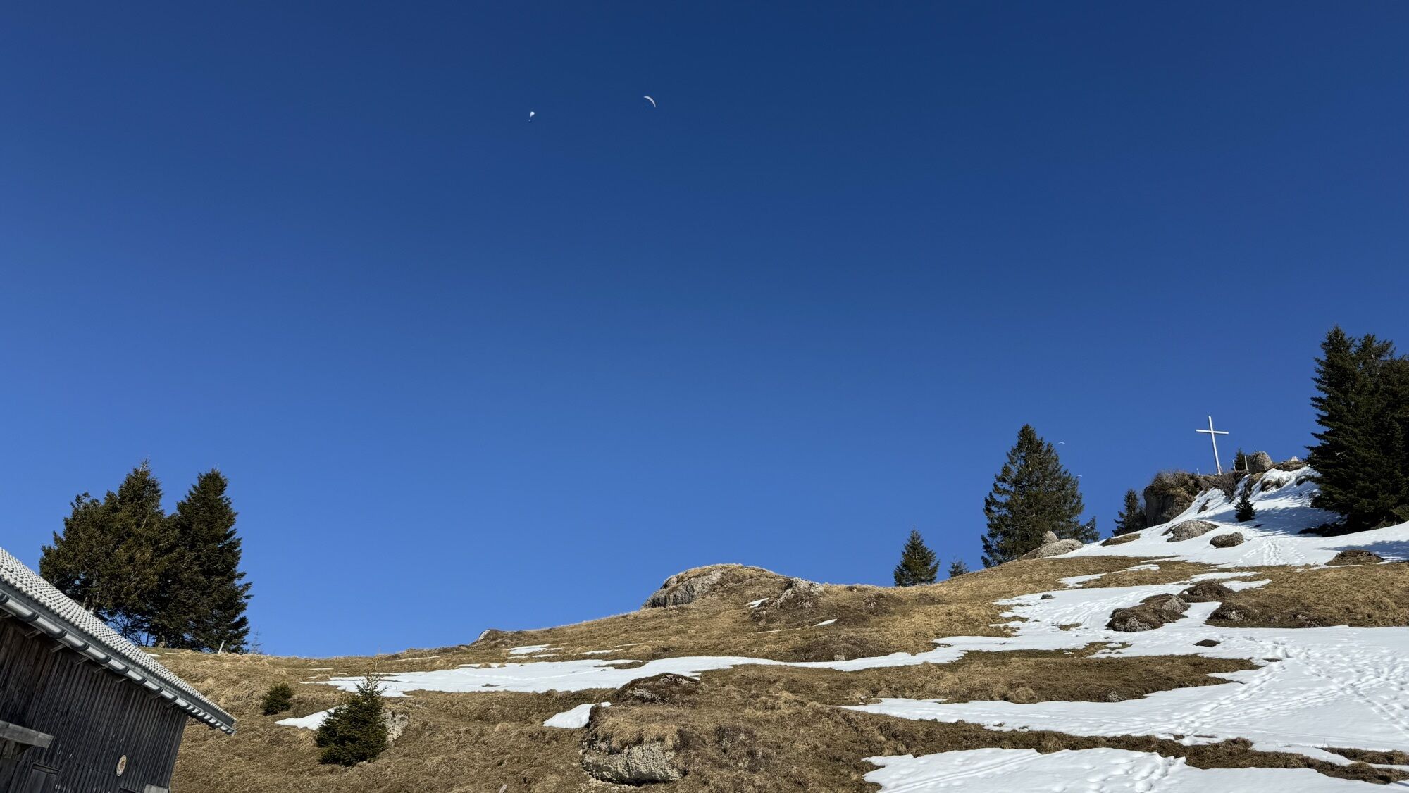
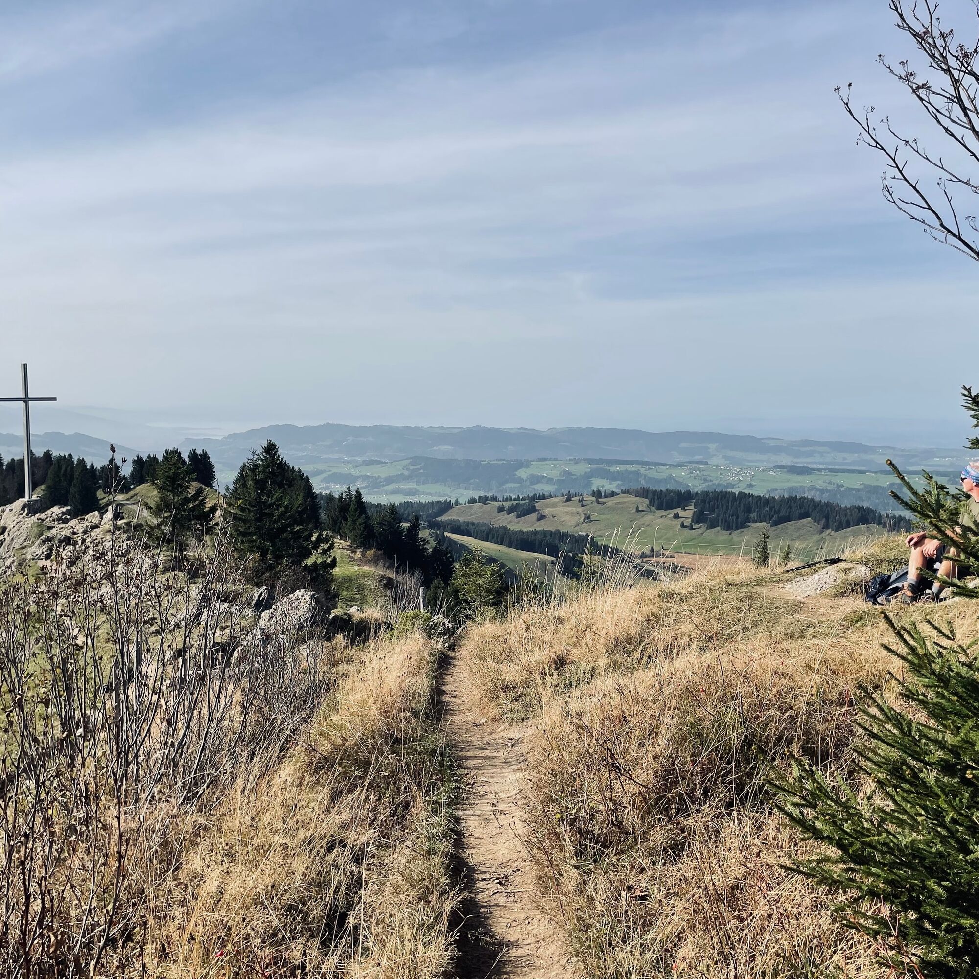
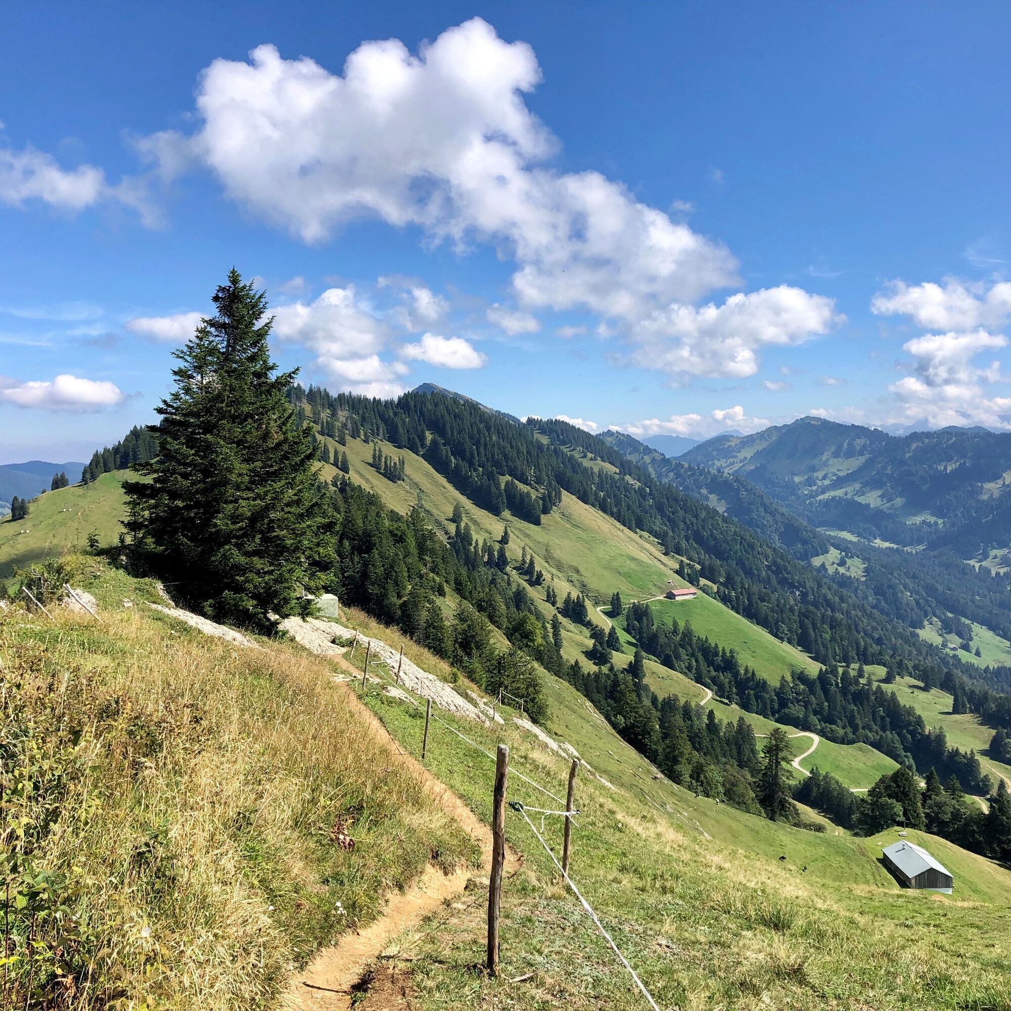
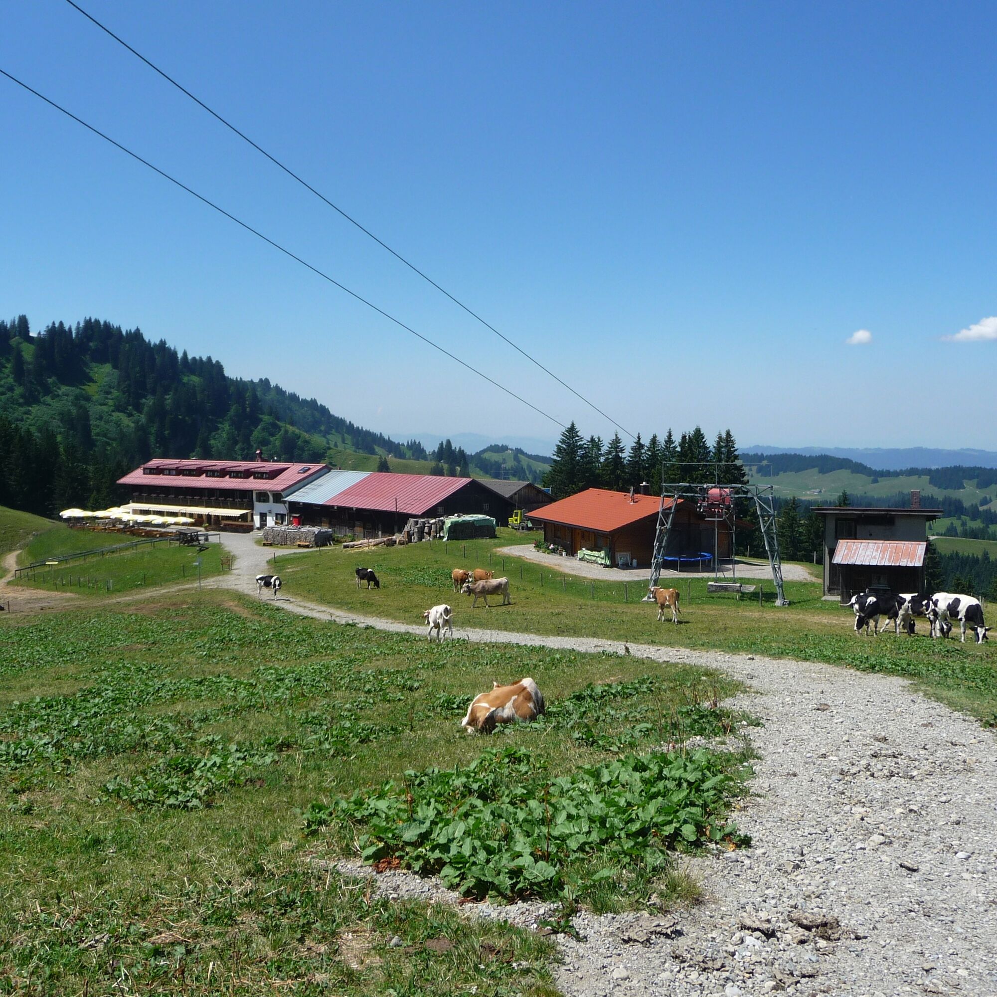
At the Gasthof Hörmoos, a hiking trail passes a herb garden leading to the Hubertushaus. A few meters further begins a path that goes up the slope of Hoch Häderich to the summit at 1,566 m elevation. Shortly before the summit, the Alpe Hoch Häderich invites you to rest.
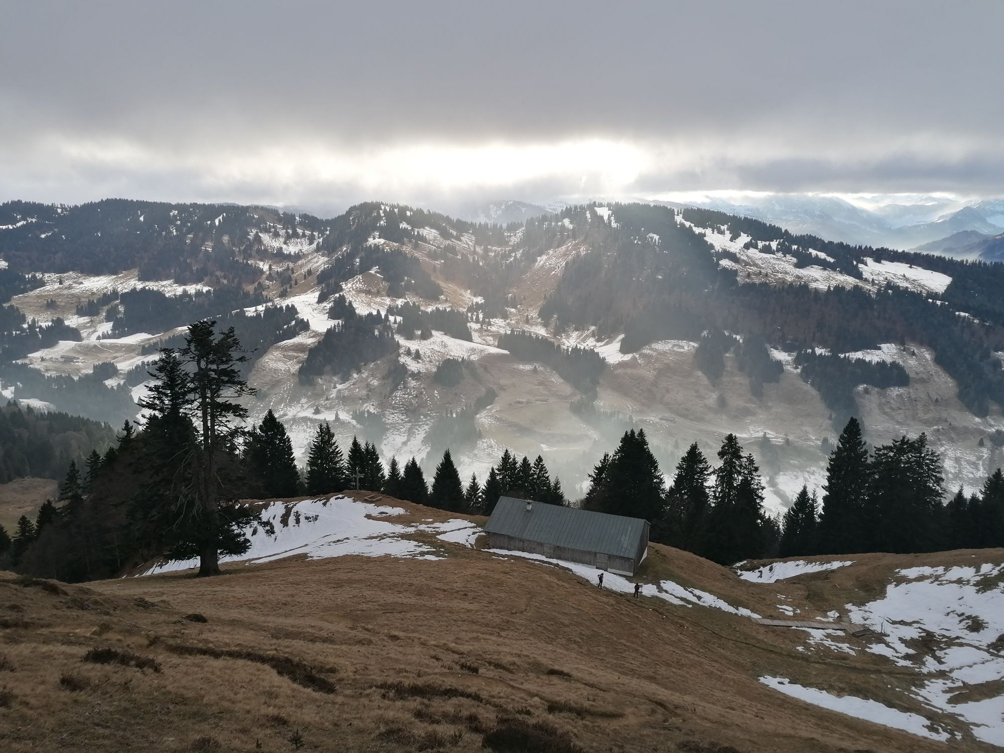
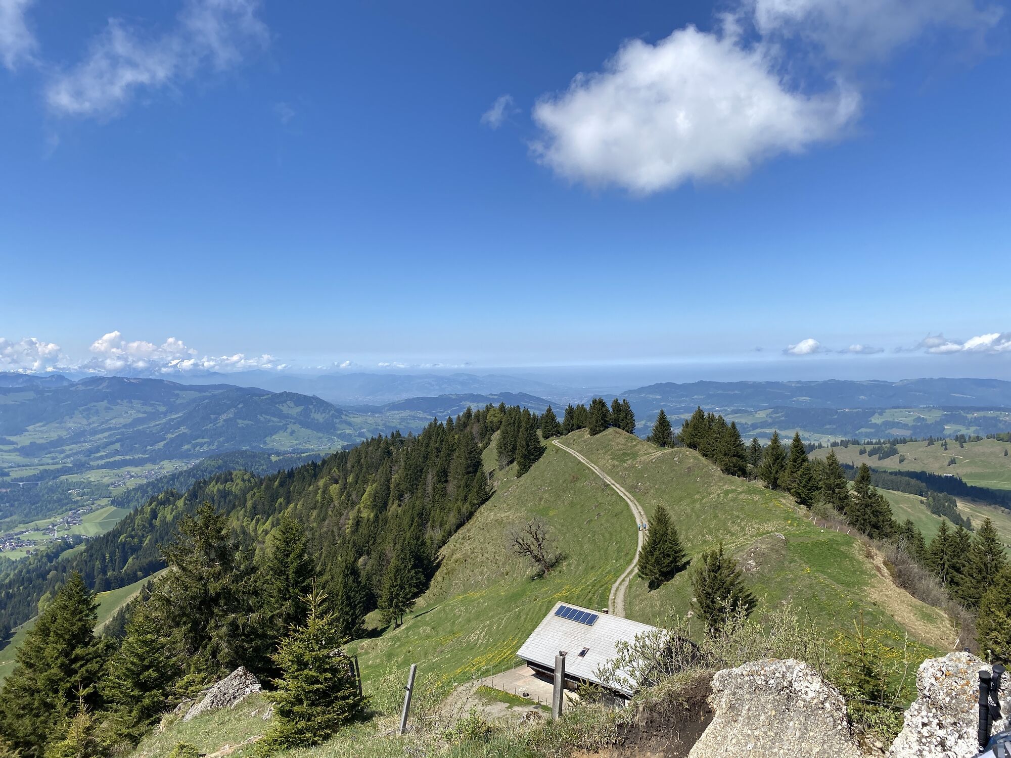
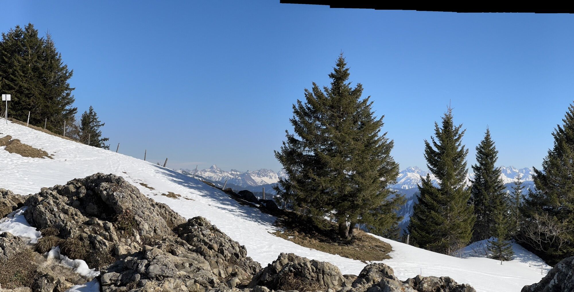
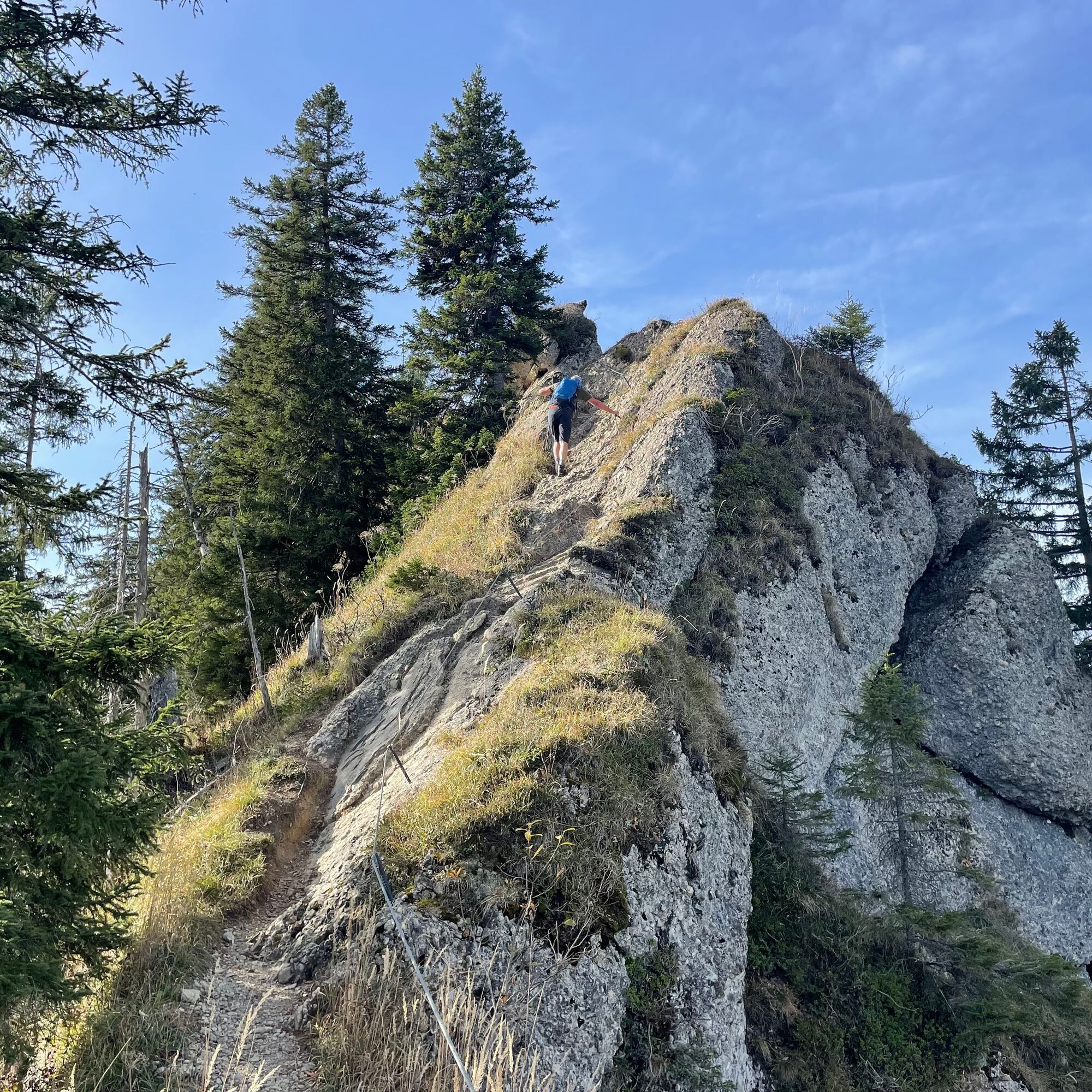
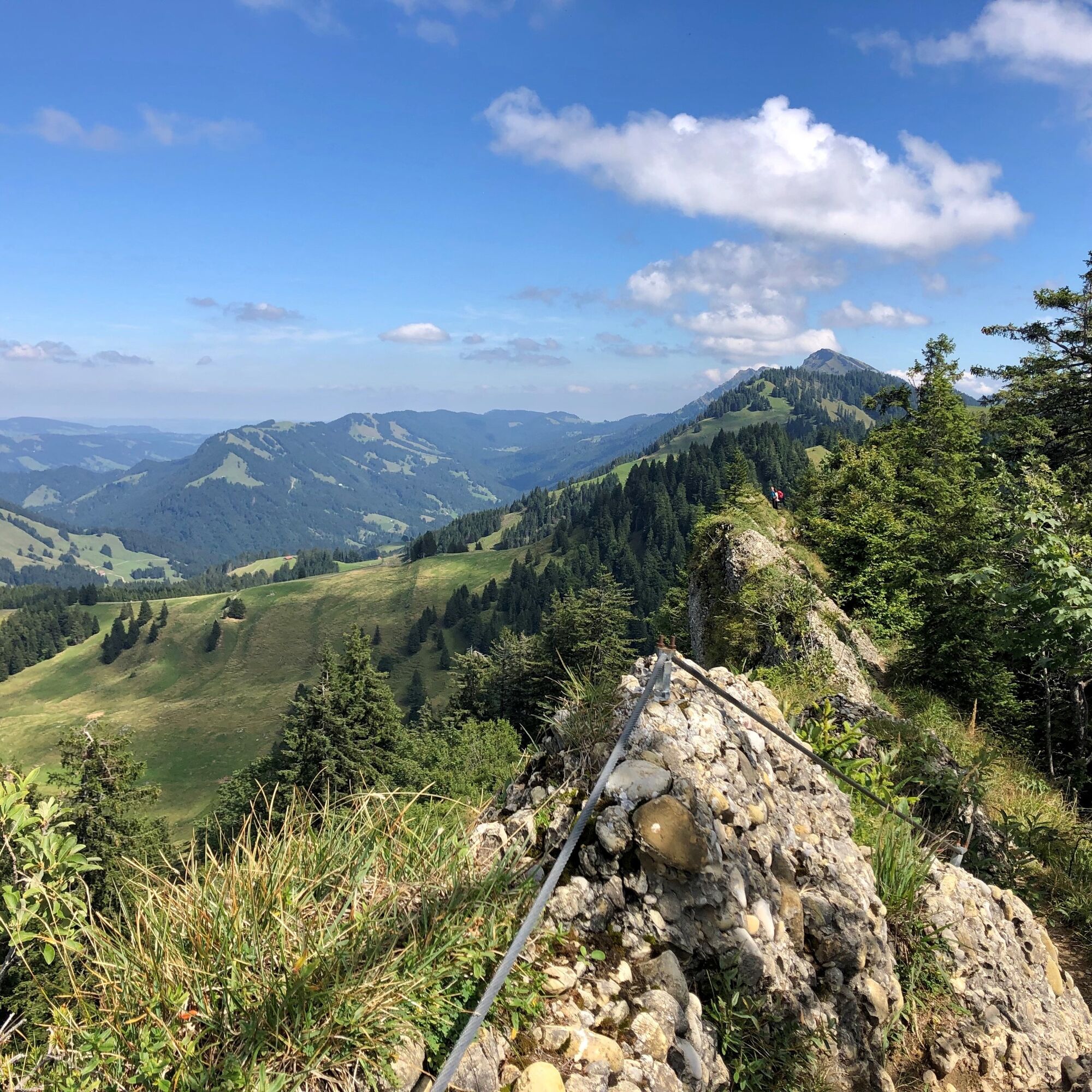
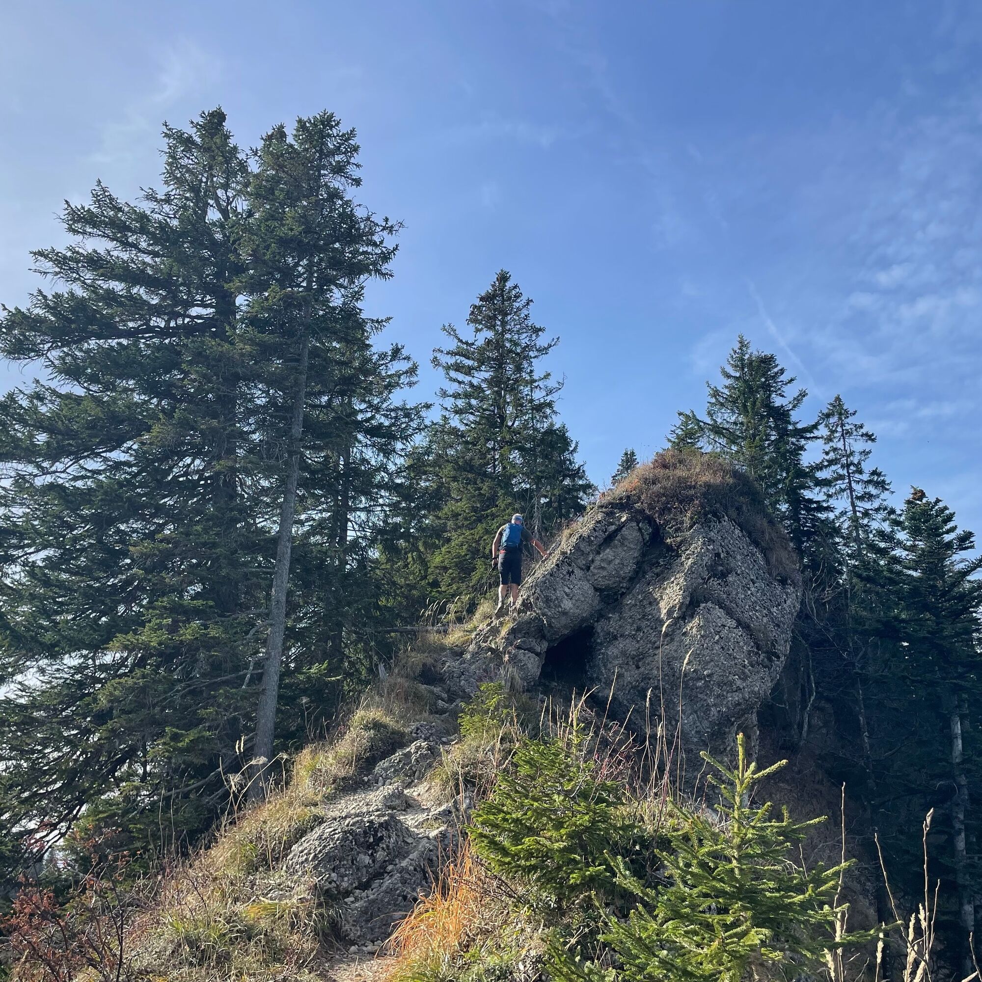
From there, a path with secured sections leads briefly over the ridge to the Falkenköpfe, which requires alpine experience. Then follows the descent to the Falkenhütte (refreshment opportunity). Continuing downhill on the hiking trail and via the Alpe Schneeloch back to the Alpe Hörmoos. By bus or on foot, return to the Imbergbahn or down to the valley.
The route is suitable as an introductory hike for via ferratas. Equipment is not required, but alpine experience, surefootedness, and a head for heights are prerequisites.


Mountain inn Hörmoos - Hubertushaus - Hoch Häderich - Falkenhütte - Alpe Schneeloch - Alpe Hörmoss
Áno
Áno
Entry point for via ferratas, therefore surefootedness and a head for heights are absolutely necessary.
Via Oberstaufen to Steibis to the Imbergbahn.
By train to Oberstaufen. Local bus to the Imbergbahn. Local bus to the Hörmoos Alp.
Parking at the Imbergbahn.
Get information about the weather conditions in advance
Stay on marked paths
Emergency call 112 or emergency call app SOS-EU-ALP

Webové kamery z prehliadky

Obľúbené výlety v okolí
-
4,7
Winterstaude
strednáTuristika 9,30 km -
4,6
Steibis - Buchenegger Waterfalls
strednáTuristika 6,47 km -
4,5
Hittisau | Wasserwanderweg
svetloTematická trasa 7 km -
4,6
Panoramarundweg Baumgarten - Niedere
svetloTuristika 3,76 km -
4,7
Rindalphorn und Hochgrat
strednáTuristika 15,6 km -
5,0
Nagelfluh ridge route Hochgrat - Mittag
ťažkéTuristika 14,0 km -
4,9
Immenstädter Horn
svetloTuristika 9,35 km -
4,5
Immenstädter Horn - Gschwender Horn
svetloTuristika 10 km -
4,3
Circular route Hündle to the Buchenegger Waterfalls
strednáTuristika 9,69 km -
4,8
Grosser-Alpsee-Rundweg-11-km
svetloTuristika 10,9 km
Turistika a stopovanie


Nenechajte si ujsť ponuky a inšpiráciu na ďalšiu dovolenku
Vaša e-mailová adresa bol pridaný do poštového zoznamu.





