


Around Weißensee
Fotografie našich používateľov
-

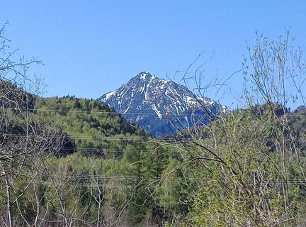
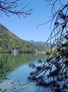
 © fhippsVytvorené dňa 25.04.2026
 -
 © fhippsVytvorené dňa 25.04.2026
 -
 © fhippsVytvorené dňa 25.04.2026
 -
 © fhippsVytvorené dňa 25.04.2026
 -
 © fhippsVytvorené dňa 25.04.2026
 -
 © fhippsVytvorené dňa 25.04.2026
 -
 © fhippsVytvorené dňa 25.04.2026
 -
 © fhippsVytvorené dňa 25.04.2026
 -
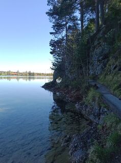
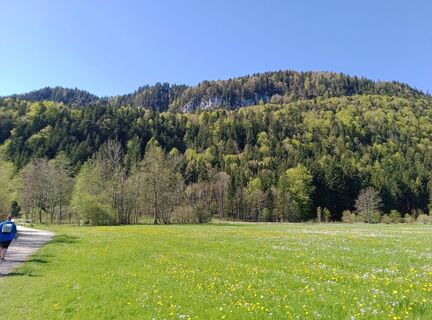
 © Klaus ReinholdVytvorené dňa 30.08.2025
 -
 © Klaus ReinholdVytvorené dňa 30.08.2025
 -
 © Klaus ReinholdVytvorené dňa 30.08.2025
 -
 © Klaus ReinholdVytvorené dňa 30.08.2025
 -
 © Klaus ReinholdVytvorené dňa 30.08.2025
 -
 © Klaus ReinholdVytvorené dňa 30.08.2025
 -
 © Klaus ReinholdVytvorené dňa 30.08.2025
 -
 © Anna AndrzejewskaVytvorené dňa 19.08.2025
 -
 © Anna AndrzejewskaVytvorené dňa 19.08.2025
 -
 © Anna AndrzejewskaVytvorené dňa 19.08.2025
 -

 © hochlandfamilieVytvorené dňa 27.06.2025
 -
 © Ragnar Reddig 1Vytvorené dňa 08.04.2026
 -
 © Ragnar Reddig 1Vytvorené dňa 08.04.2026
 -
 © Ragnar Reddig 1Vytvorené dňa 08.04.2026
 -
 © Mi HaoVytvorené dňa 07.12.2025
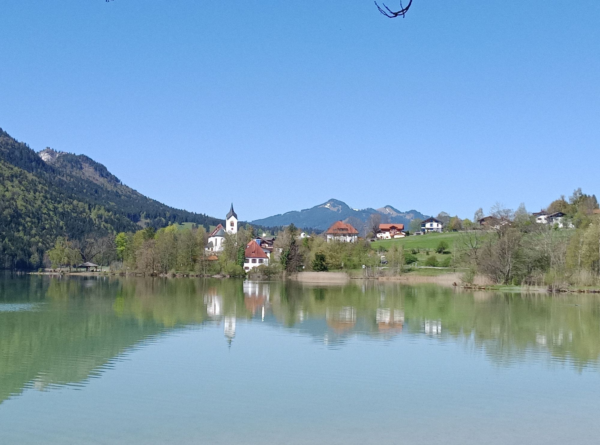
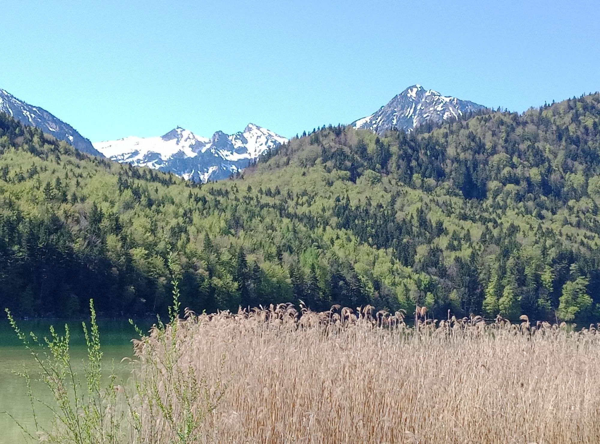

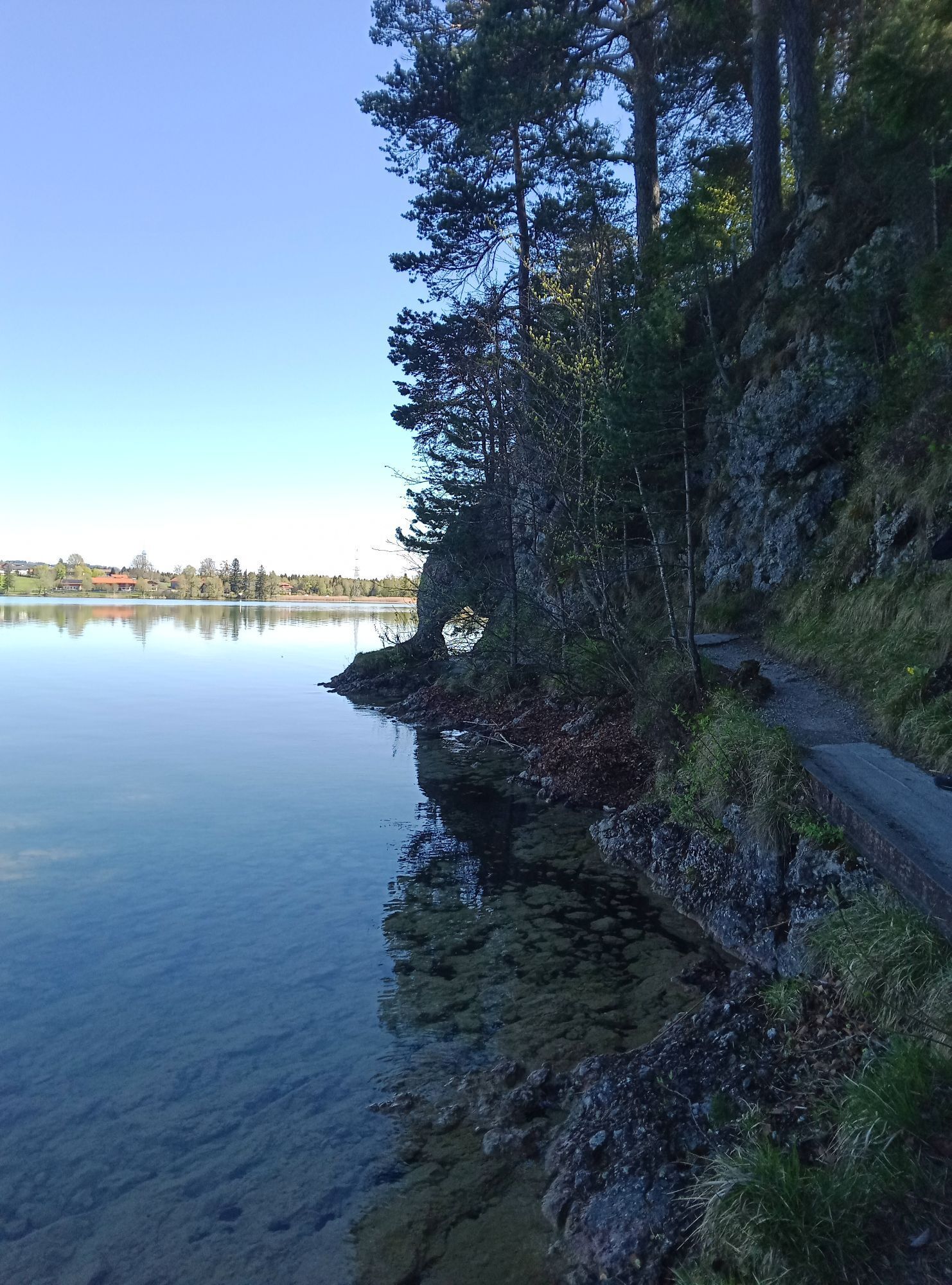
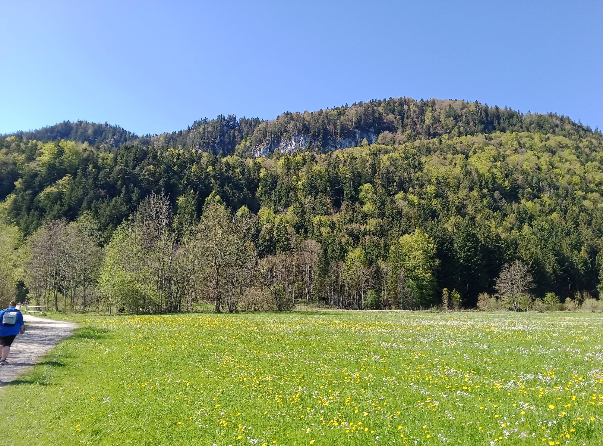
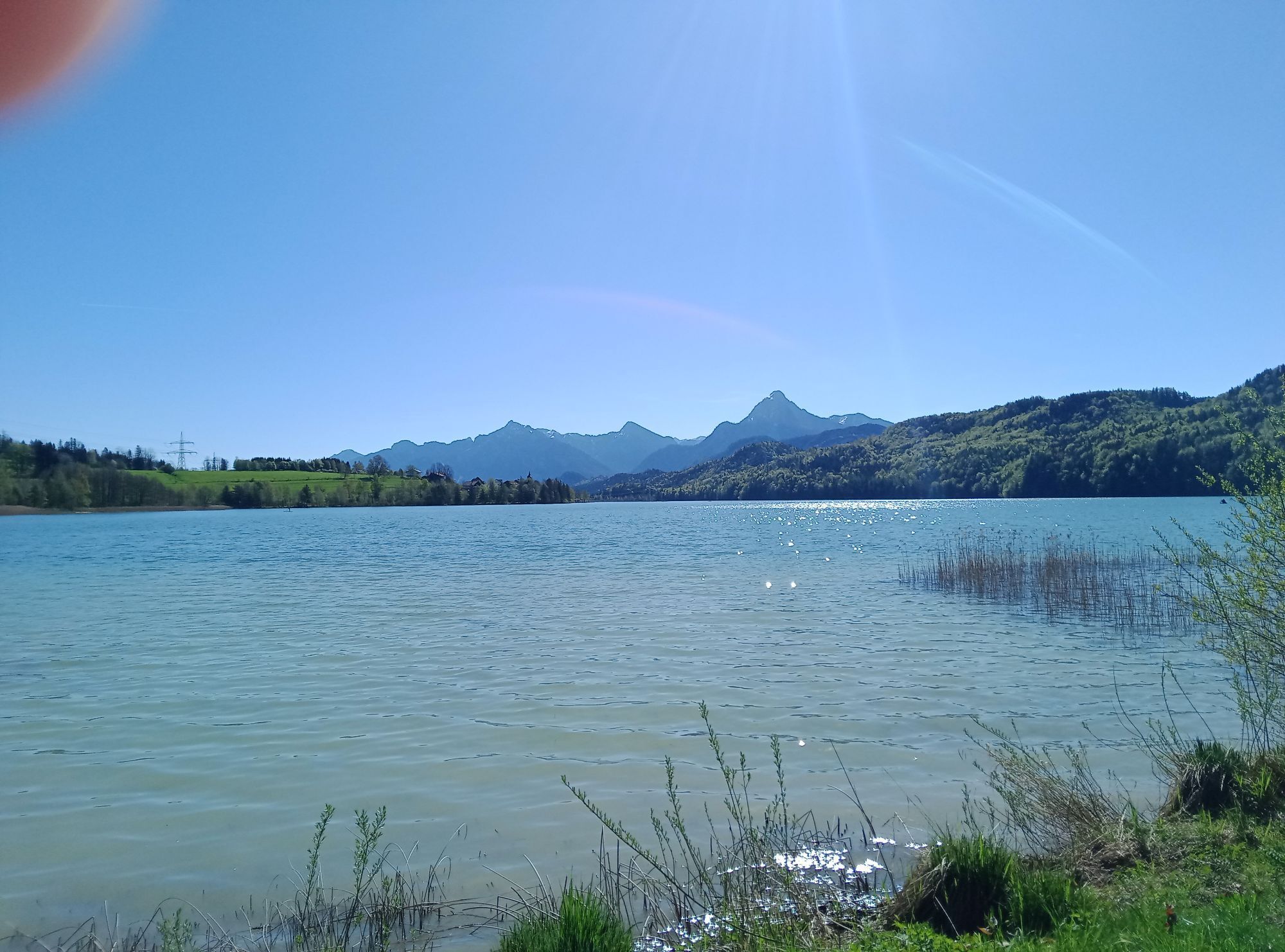
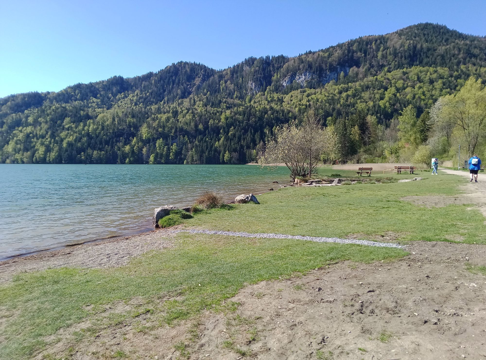

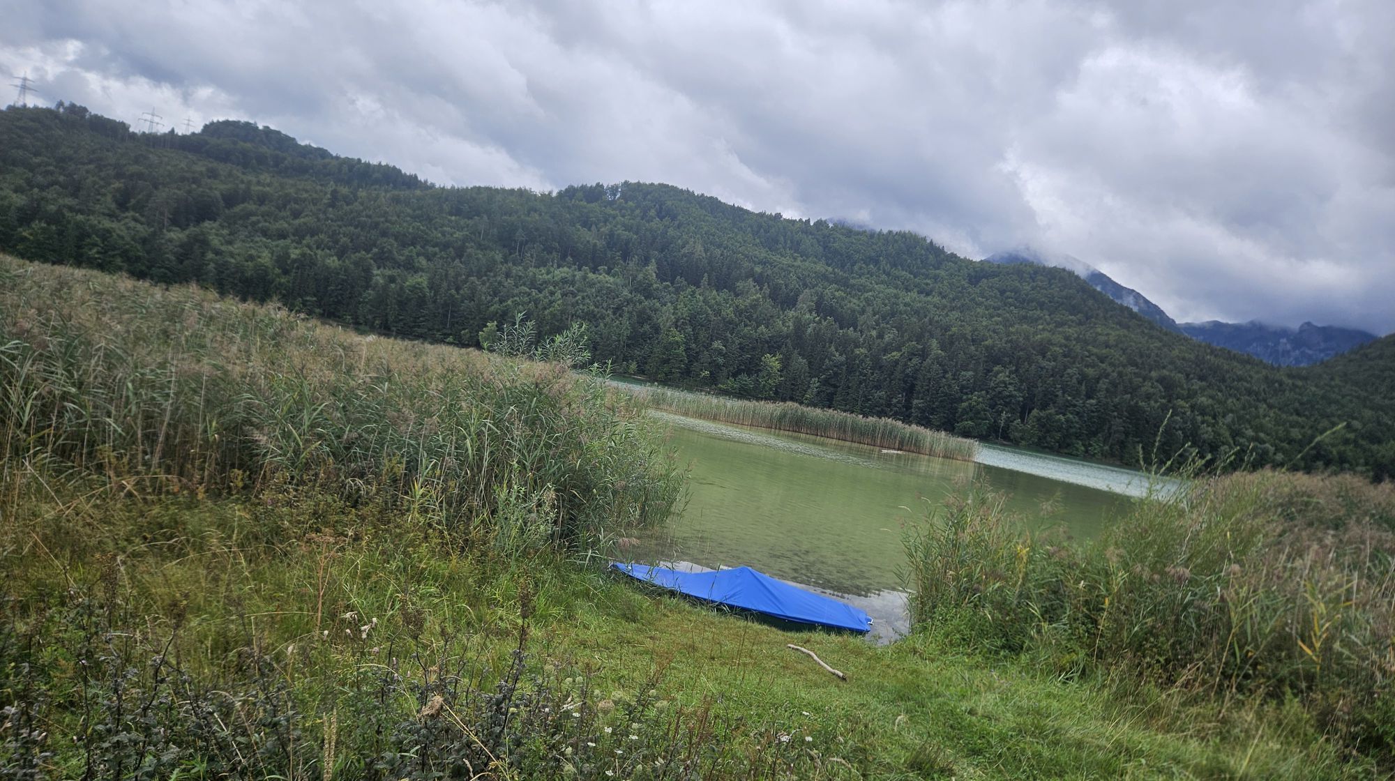


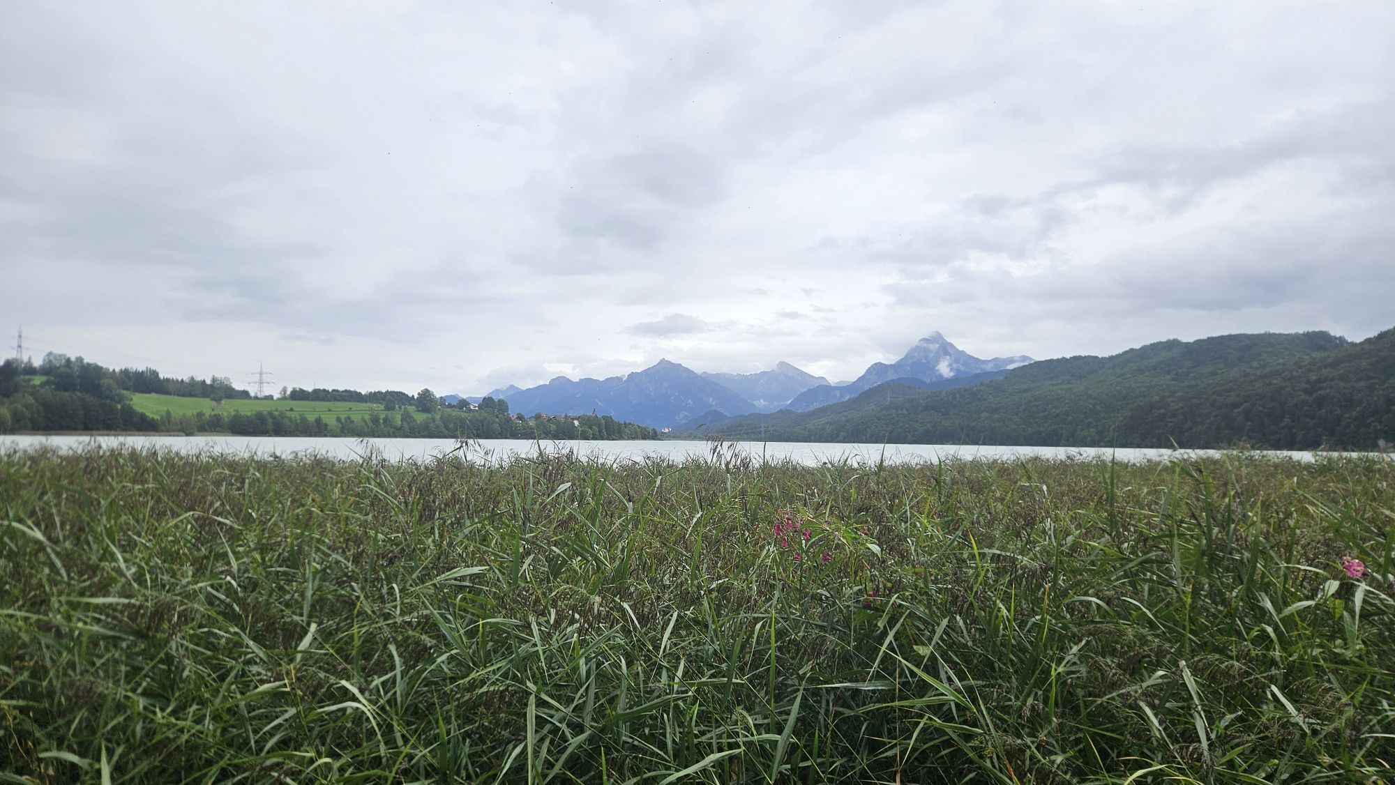
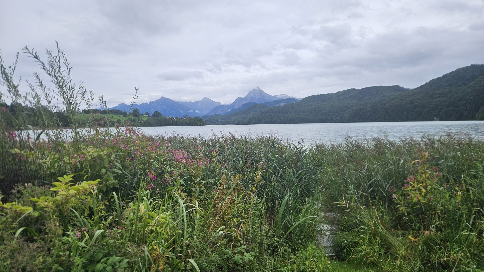
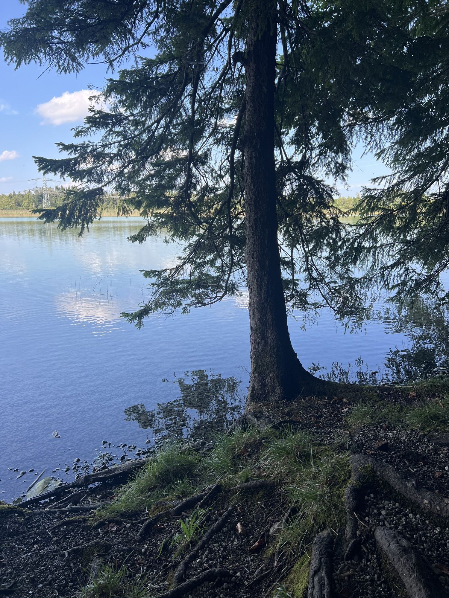
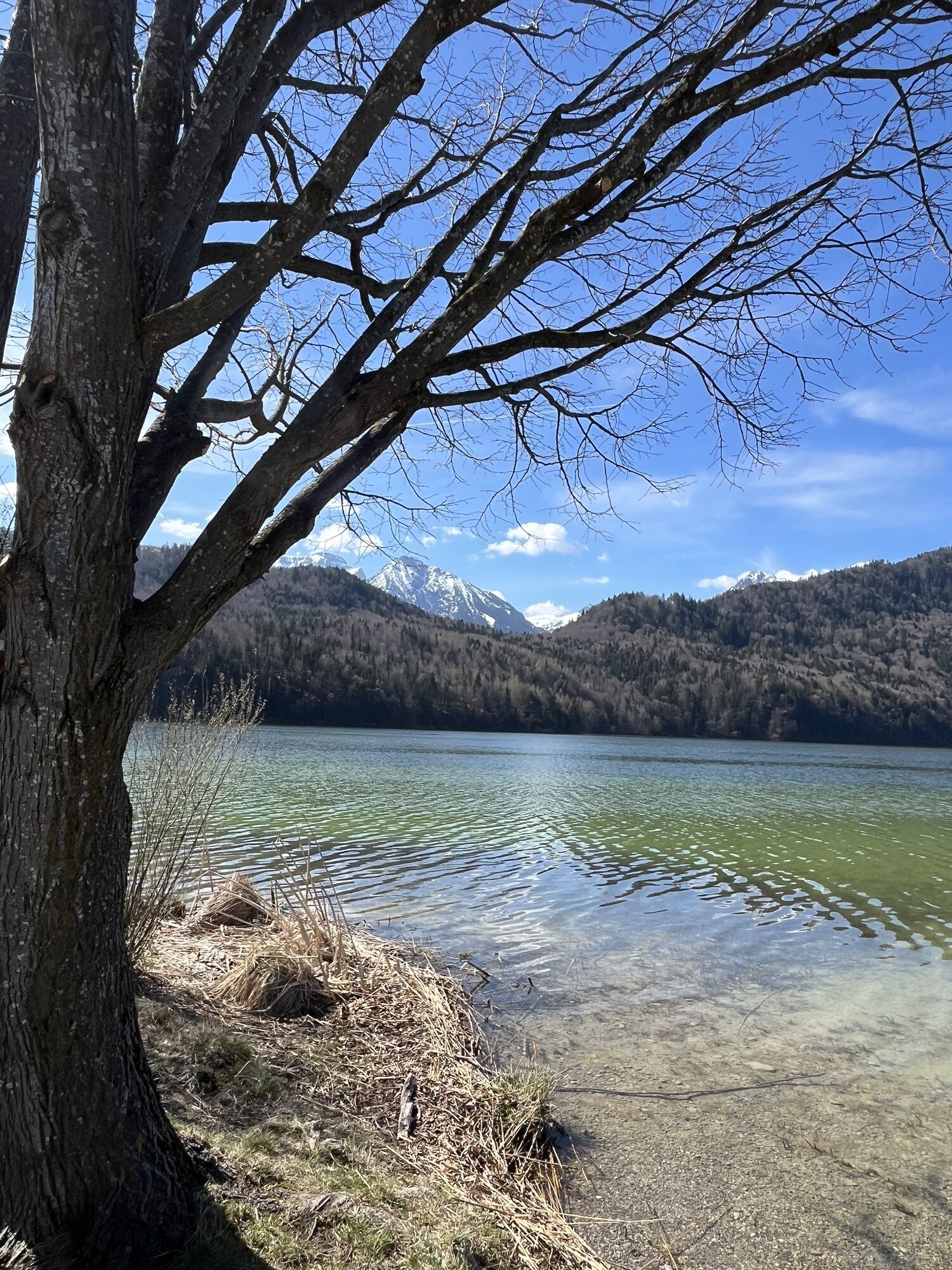
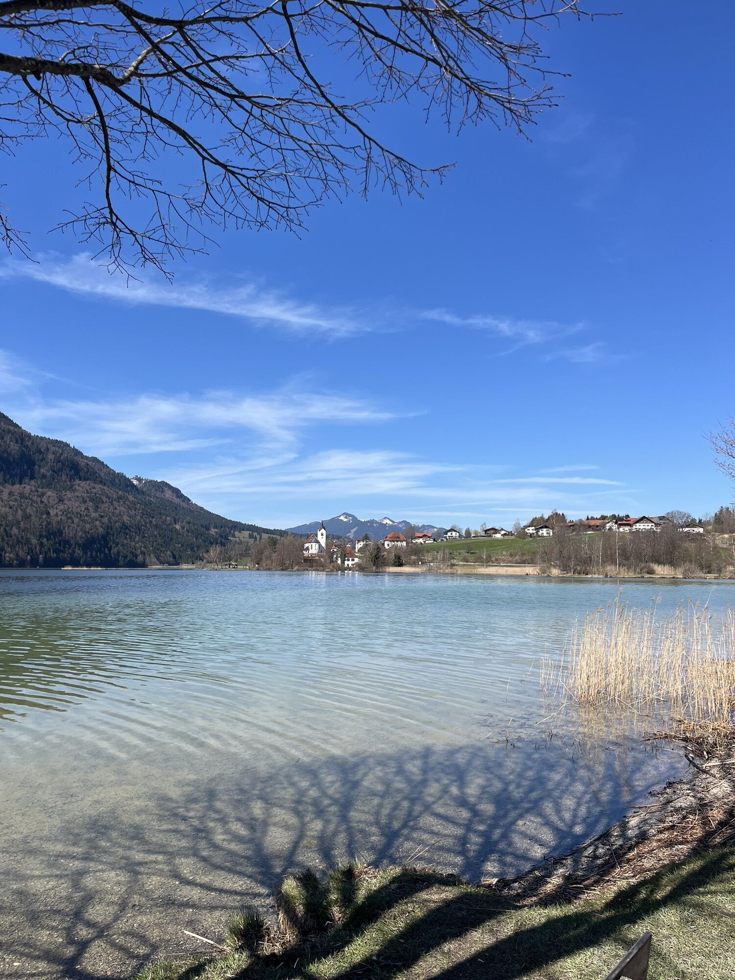
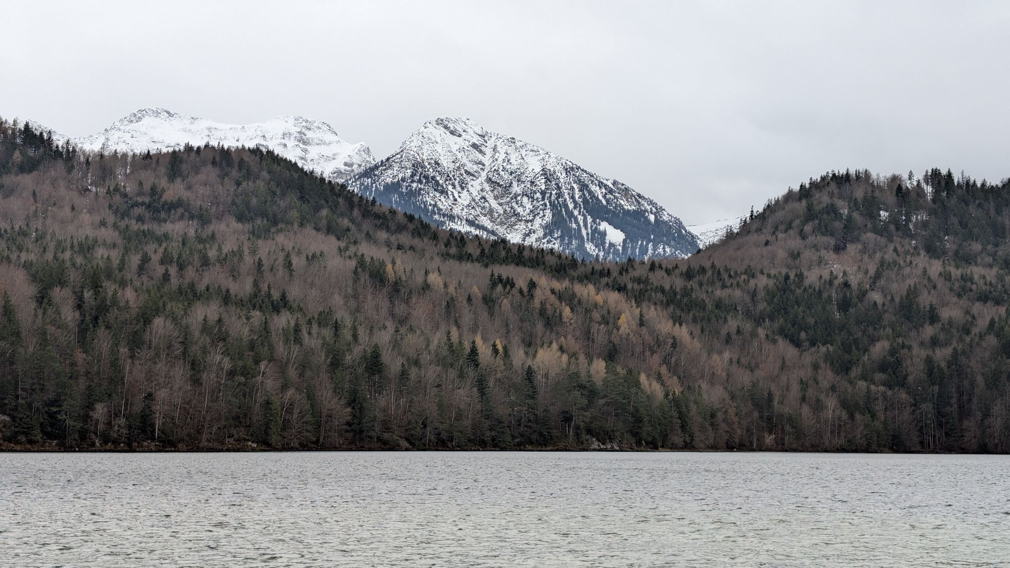
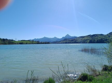
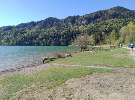
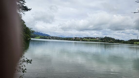
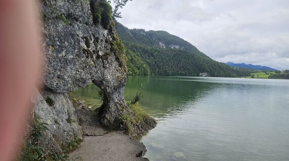
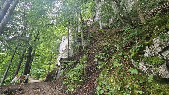
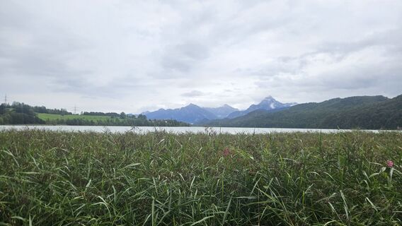
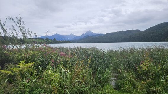
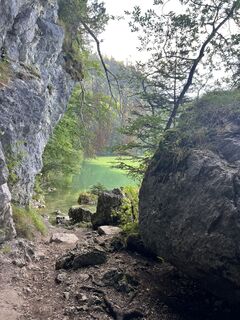
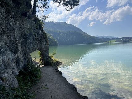
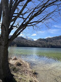
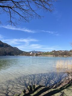
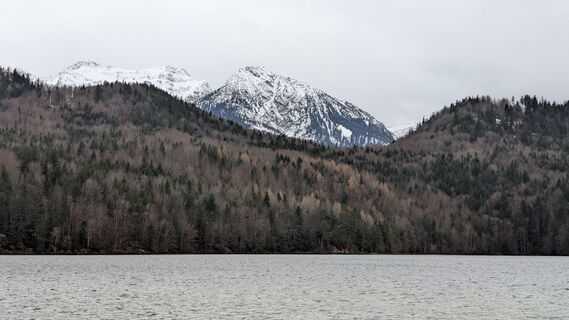
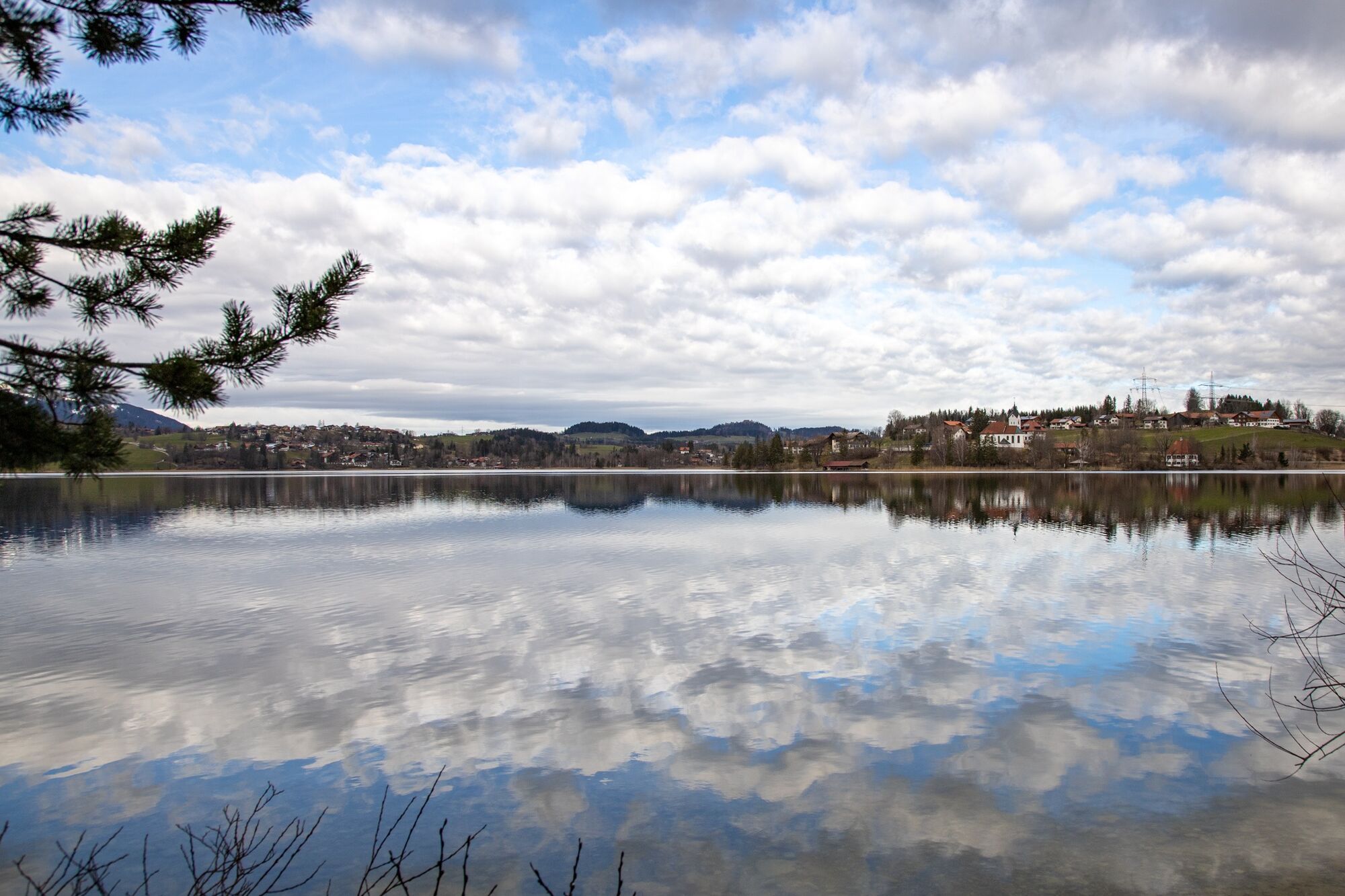
This easy hike leads around the popular Weißensee. You can start the lake route, for example, at the east shore of the lake. There, a large parking lot offers enough space to park your car. A path leads...
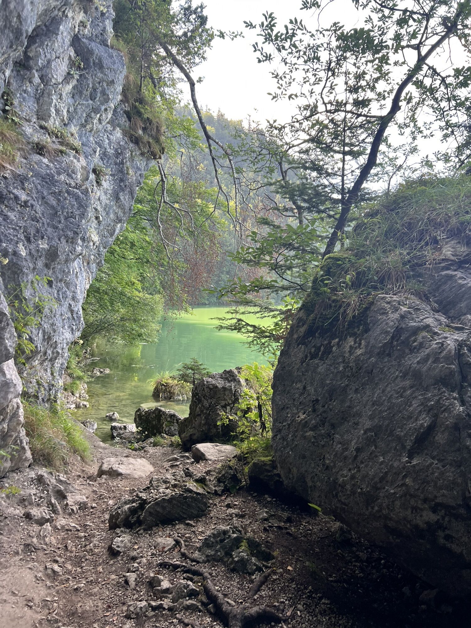
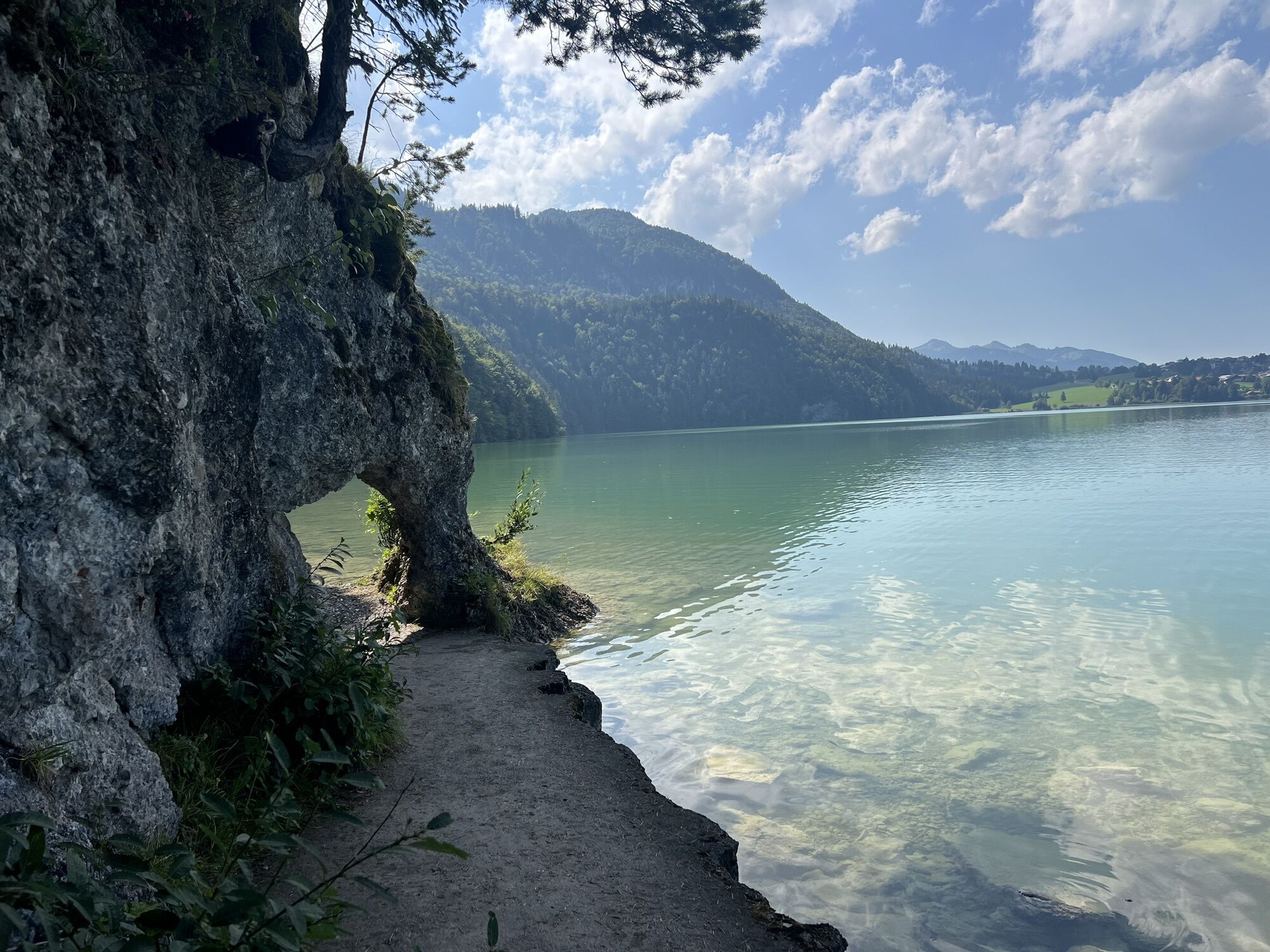
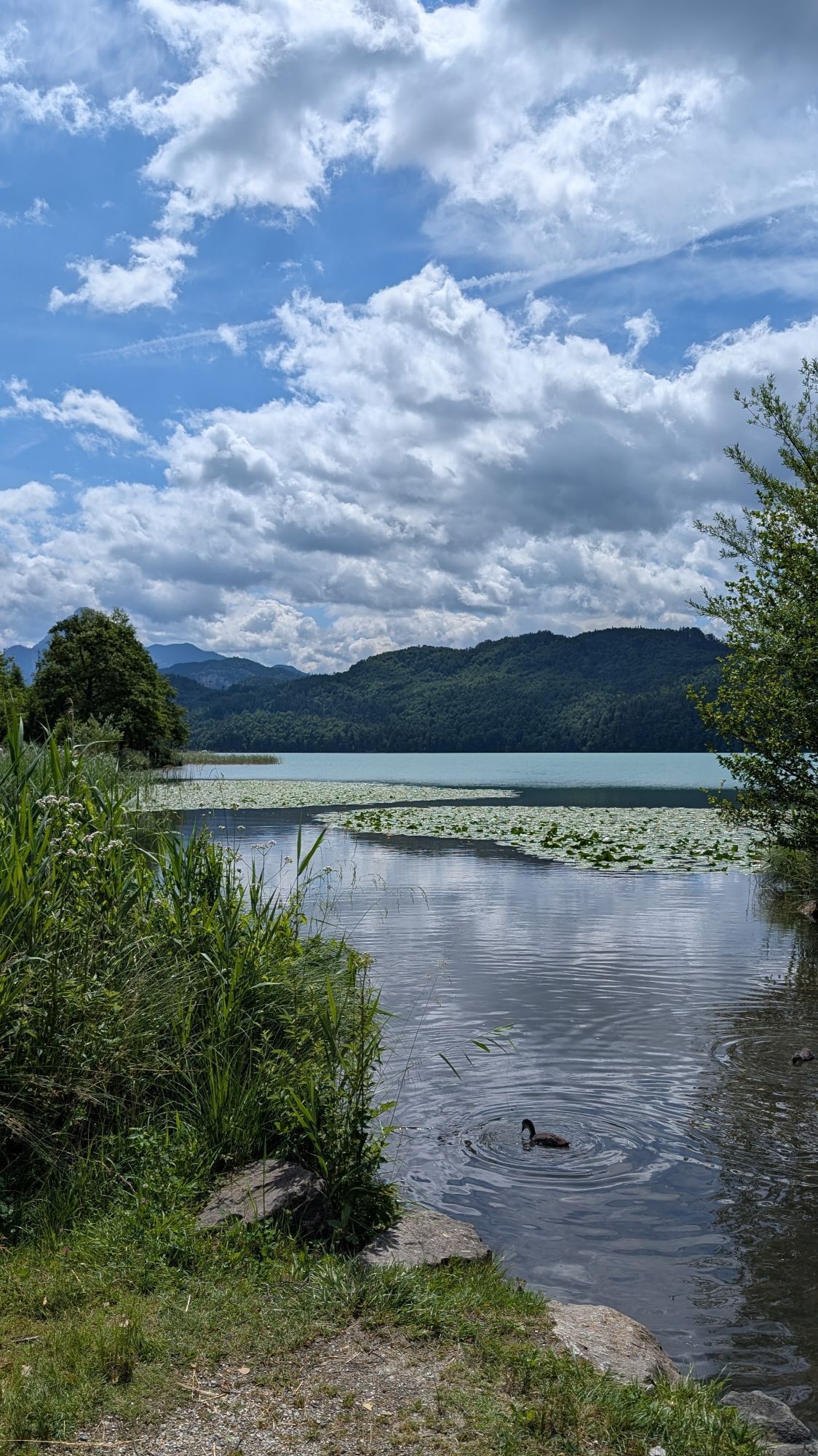
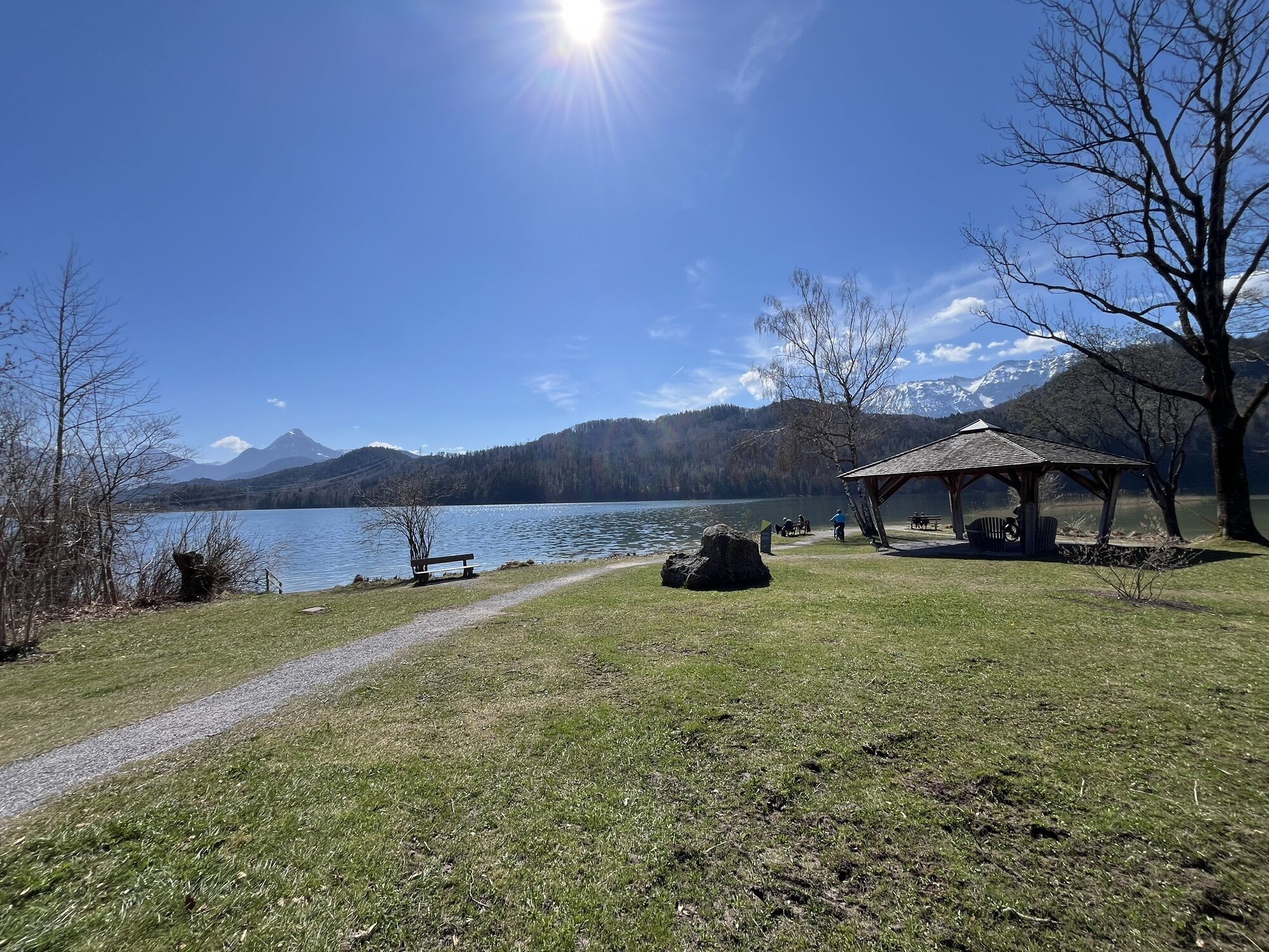
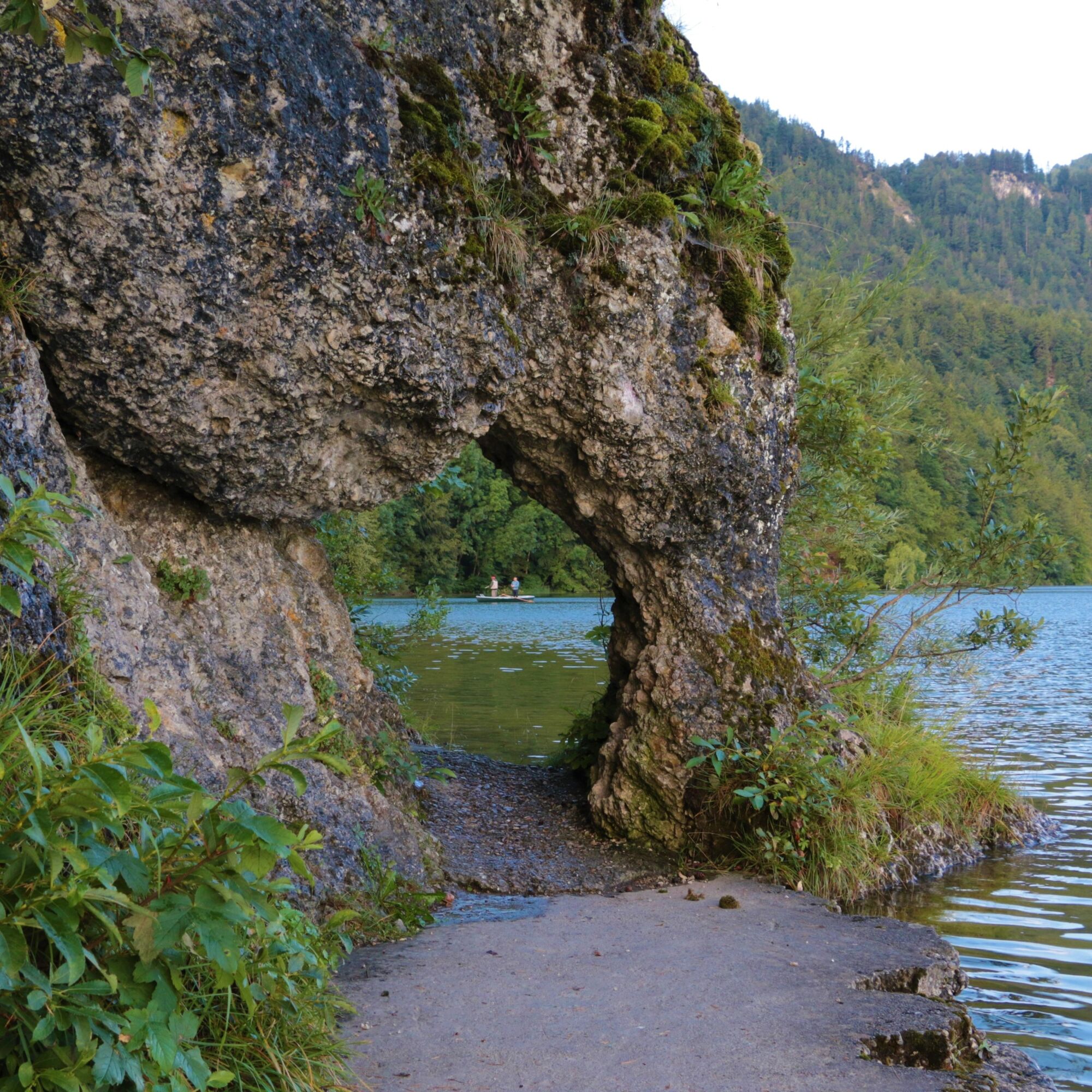
This easy hike leads around the popular Weißensee. You can start the lake route, for example, at the east shore of the lake. There, a large parking lot offers enough space to park your car. A path leads directly along the lake shore. On the south shore, the path partly goes over "rooty" terrain. (Note: The path is not suitable for strollers. A small rock gate blocks the "passage"). On the west shore, young hikers can play on a playground while adults enjoy the view of the Alpine panorama.

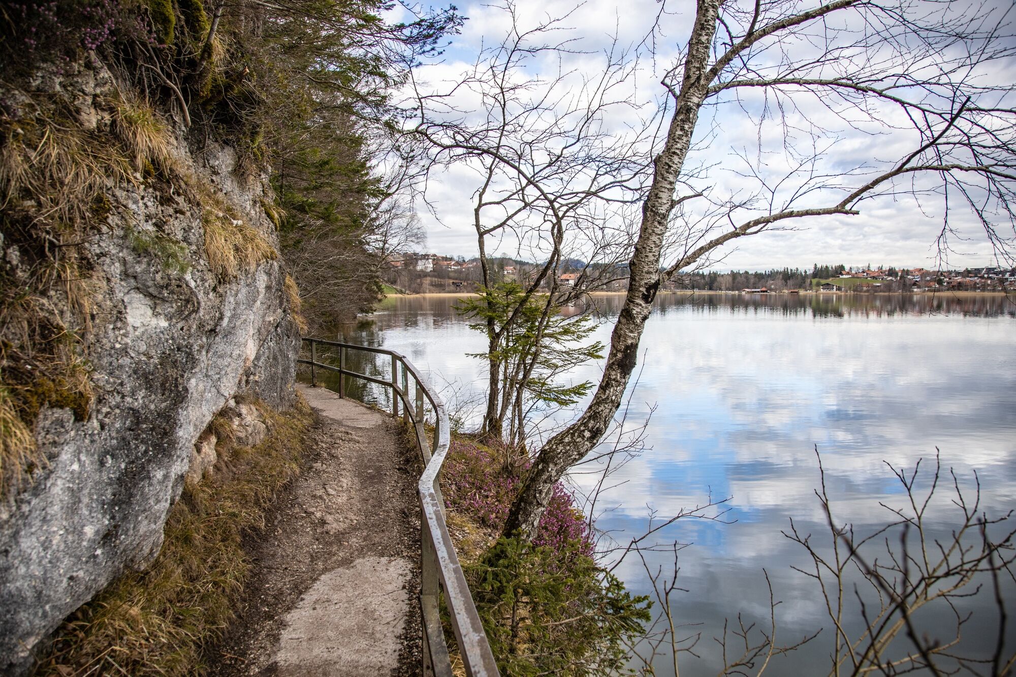
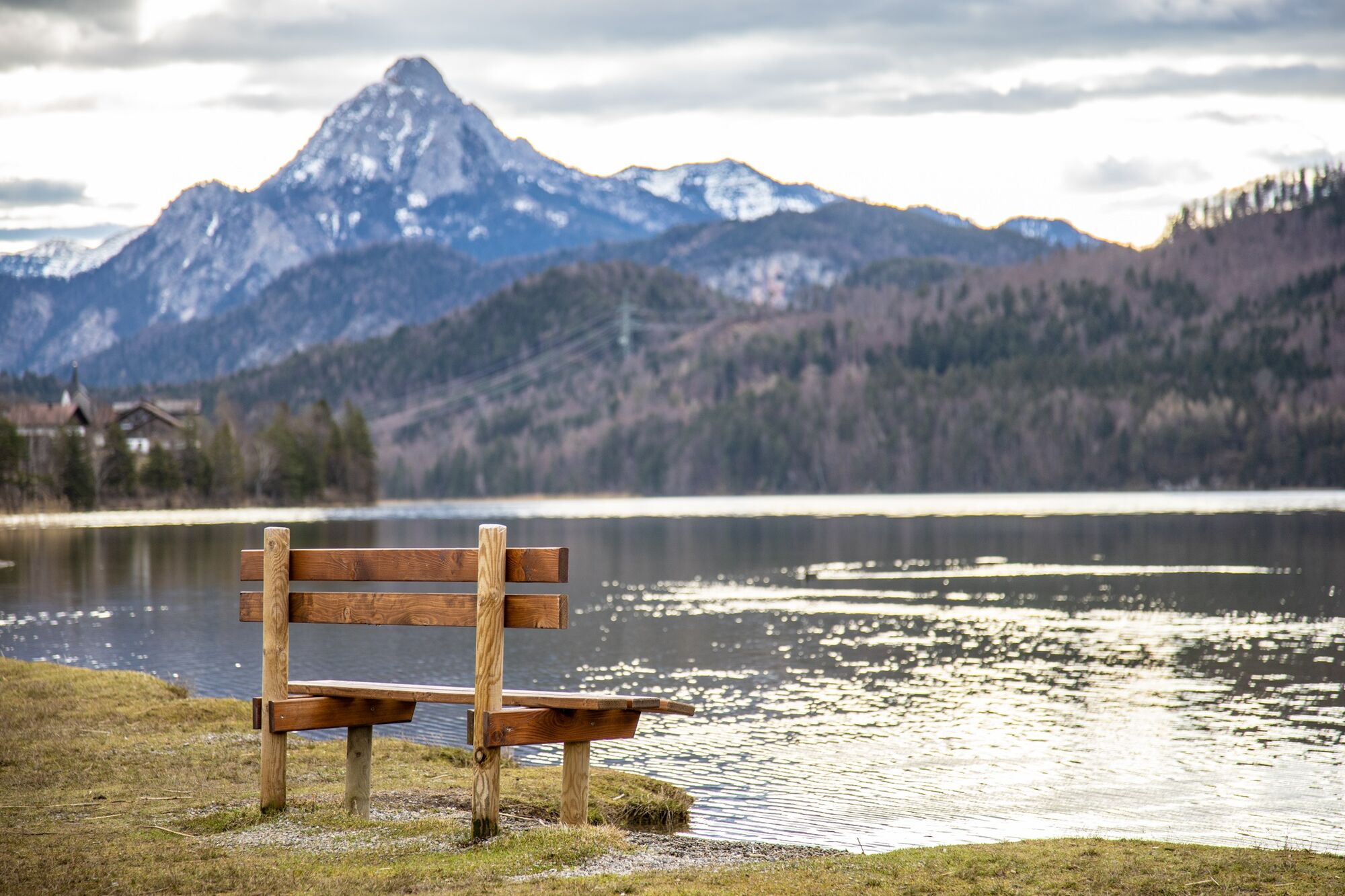
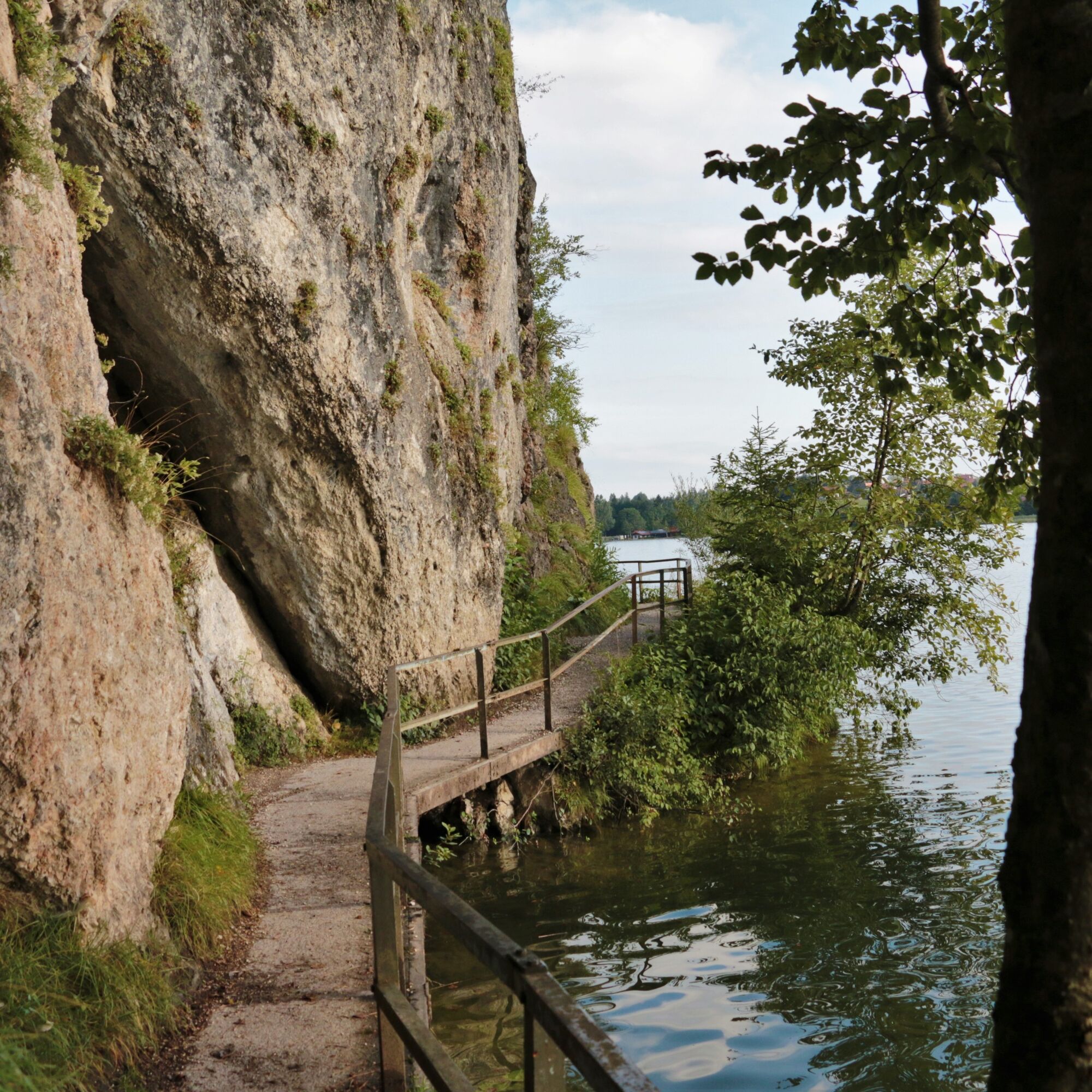
The footpath, which always runs along the water, is a simple sand/gravel path. The southern part of the path becomes more varied with rocky and root-covered sections.
Áno
The south shore is not recommended for strollers. The terrain is partly very rooty and a rock gate blocks the "passage".
B 310
Public transport bus
Parking lot at Weißensee outdoor pool or parking lot on the east shore of Weißensee.
Suitable footwear, provisions, and rain jacket or sun protection depending on the weather.
A nice circular route for the whole family. Young hikers have the opportunity to play on the playground on the west shore.
Webové kamery z prehliadky
-
Skizentrum Steinach / Pfronten
-
Breitenberg Bergstation
-
Füssen - Wellness Hotel Sommer
-
Segelclub Füssen
-
Pfronten - Boutique Hotel Blaue Burg Falkenstein
-
Camping Hopfensee
-
Camping Hopfensee
-
Hopfen am See - Restaurant Fischerhütte
-
Eisenberg - Burgruine
-
Ludwigs Festspielhaus Füssen
-
Ludwigs Festspielhaus Füssen
-
Ludwigs Festspielhaus Füssen
-
Ludwigs Festspielhaus Füssen
-
Ludwigs Festspielhaus Füssen
-
Ludwigs Festspielhaus Füssen
-
Ludwigs Festspielhaus Füssen
-
Füssen Appartementhotel Seespitz
-
Hotel Hirsch
-
Hotel Hirsch
-
Hotel Hirsch
-
Hotel Hirsch
-
Hotel Hirsch
-
Hotel Hirsch
-
Hotel Hirsch
-
Hopferau Burgruinen Hohenfrey- und Eisenberg
Aktivity počas prehliadky
-
Weißensee, Bayern/Deutschland
26.04.2026 – Turistika -
Füssen, Bayern/Deutschland
25.04.2026 – Turistika -

Füssen, Bayern/Deutschland
28.02.2026 – Turistika -
Füssen, Bayern/Deutschland
26.09.2025 – Turistika -
Füssen, Bayern/Deutschland
15.08.2025 – Turistika -
Füssen, Bayern/Deutschland
02.07.2025 – Turistika
Obľúbené výlety v okolí
-
5,0
Hiking tour to Breitenberg
ťažkéTuristika 15,6 km -
4,1
Drehhütte
svetloTuristika 3,34 km -
4,7
Yellow Wall Trail, Tegelberg (A)
strednáVia ferrata 3,65 km -
4,5
Circular hike Dreh- and Rohrkopfhütte
svetloTuristika 8,76 km -
5,0
Gemeinde Grän, Tirol/Österreich Aggenstein Rundtour über Höhenweg
strednáTuristika 9,84 km -
4,2
Cultural trail Schutzengelweg
strednáTuristika 5,13 km -
4,2
Three-lake route (awarded the Tyrolean Hiking Trail Seal of Quality)
strednáTuristika 14,8 km -
4,9
Tegelberg | Branderschrofen | Neuschwanstein
strednáTuristika 14,8 km -
4,4
Rundwanderung Stuibenfälle
strednáTuristika 3,92 km -
4,3
Schloß Neuschwanstein und Schwanensee Schwangau, Bayern
strednáTuristika 9 km
Turistika a stopovanie


Nenechajte si ujsť ponuky a inšpiráciu na ďalšiu dovolenku
Vaša e-mailová adresa bol pridaný do poštového zoznamu.