Around the Upper Eschach valley – starting point Batschen
Turistika
Získajte túto prehliadku v mobilnom telefóne
Around the Upper Eschach valley – starting point Batschen
Turistika
16,06
km
Naskenujte kód QR a spustite navigáciu v aplikácii bergfex


Turistika a stopovanie





Around the Upper Eschach valley – starting point Batschen
Turistika
Vzdialenosť
16,06
km
Trvanie
04:20
h
Ascent
338
hm
Hladina mora
872 -
1 126
m
Stiahnutie skladby
Around the Upper Eschach valley – starting point Batschen
Turistika
16,06
km
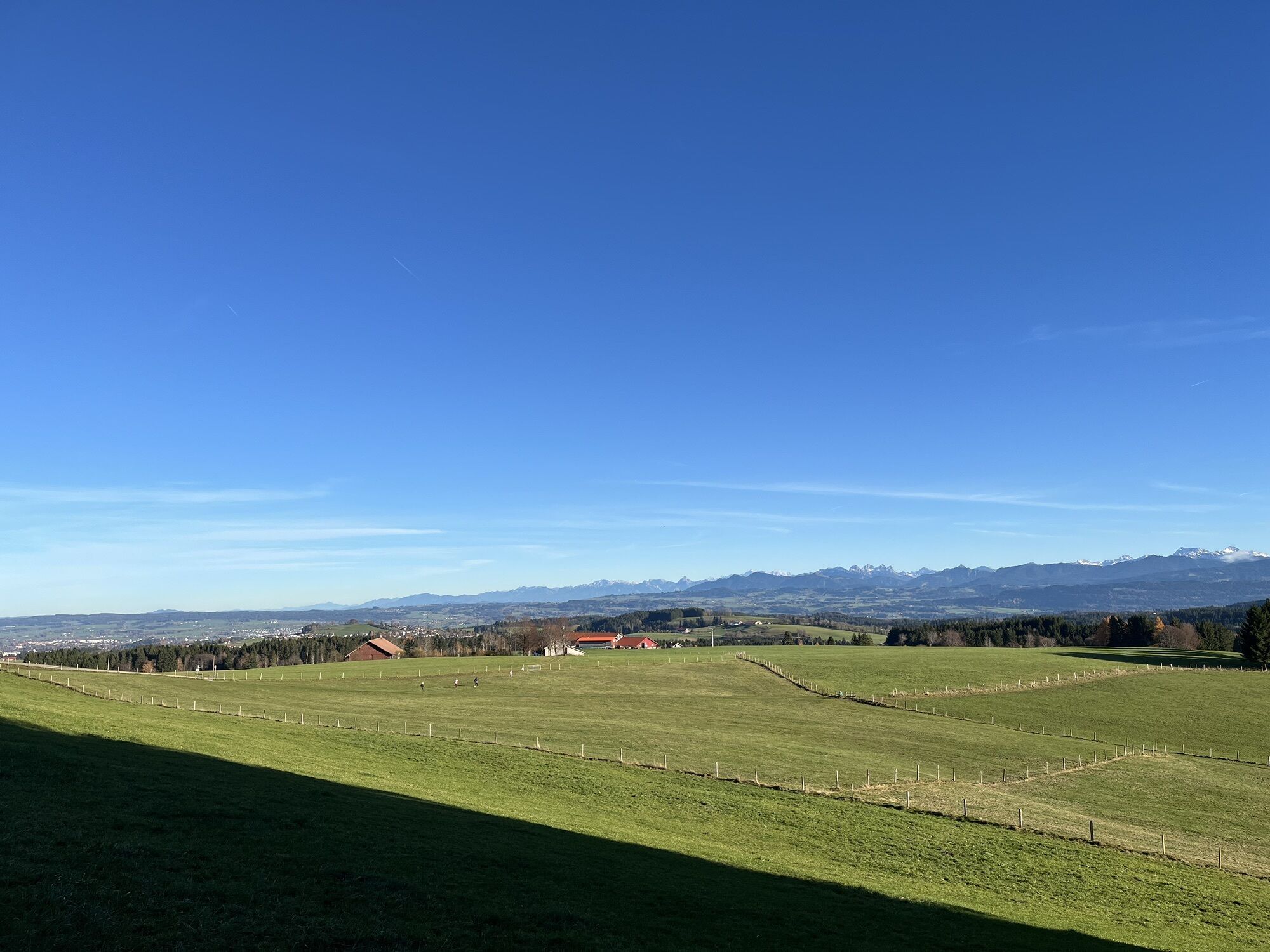
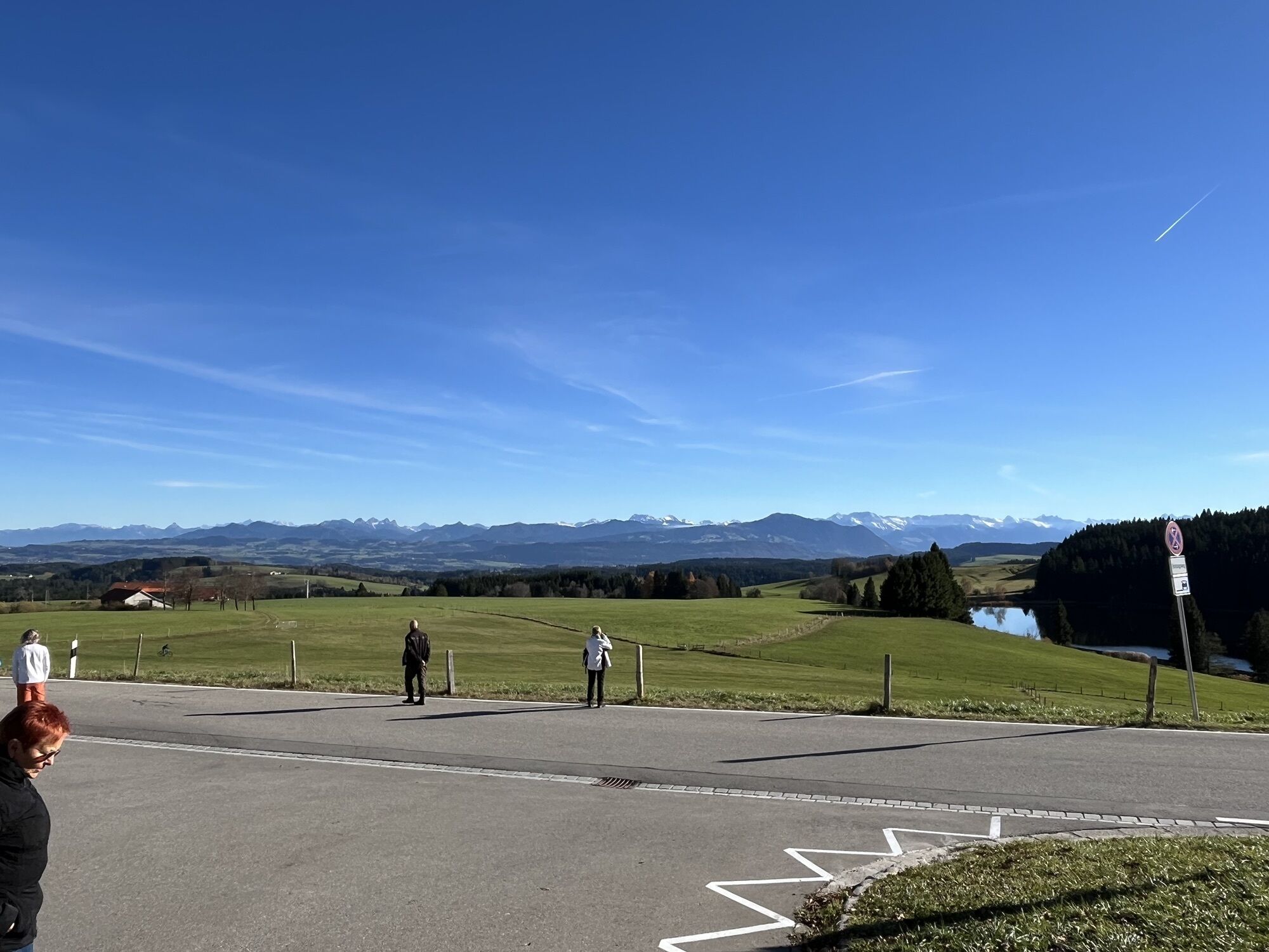
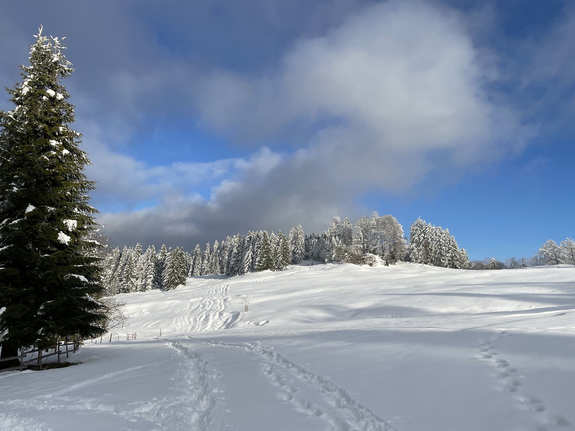
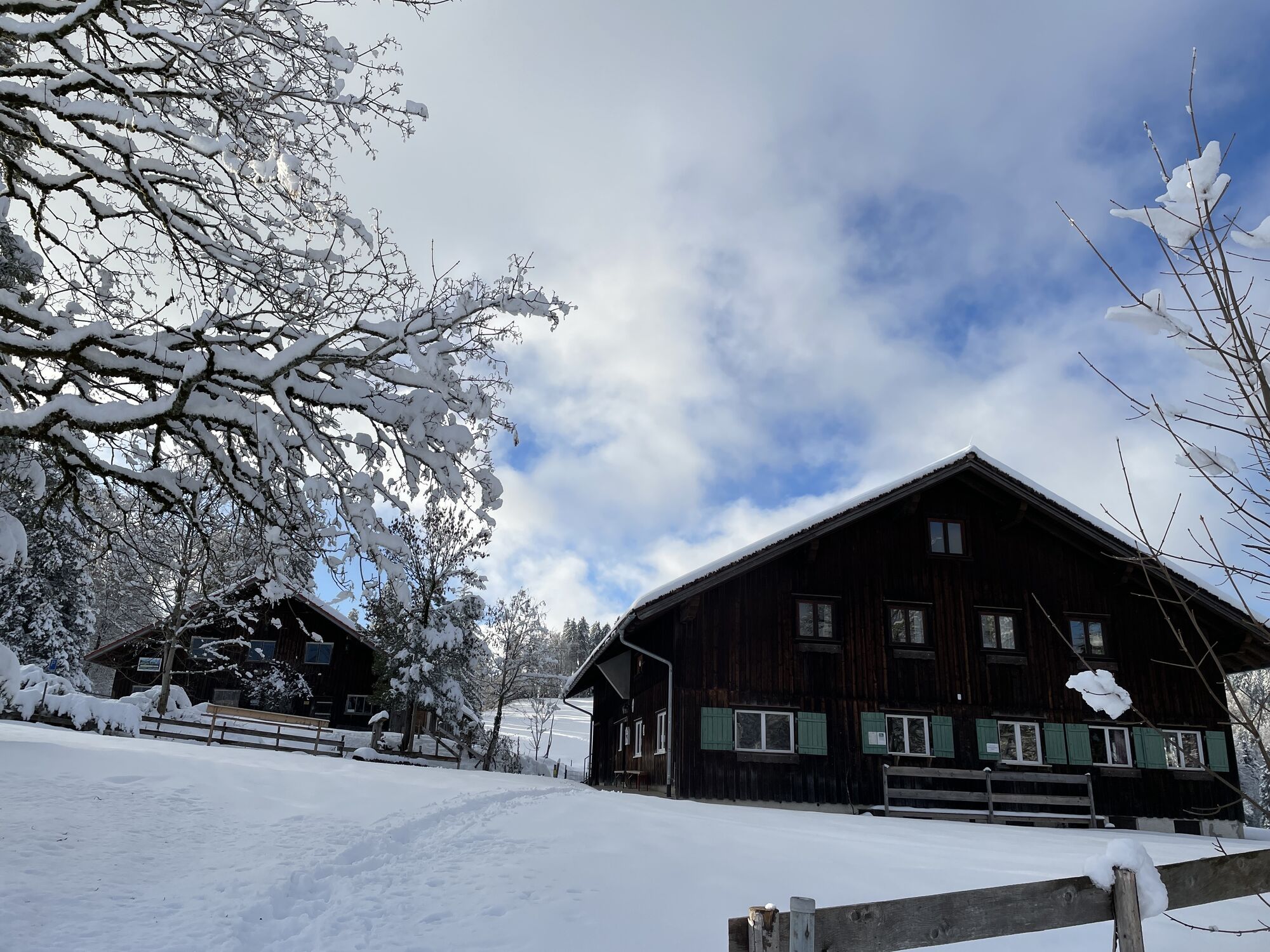
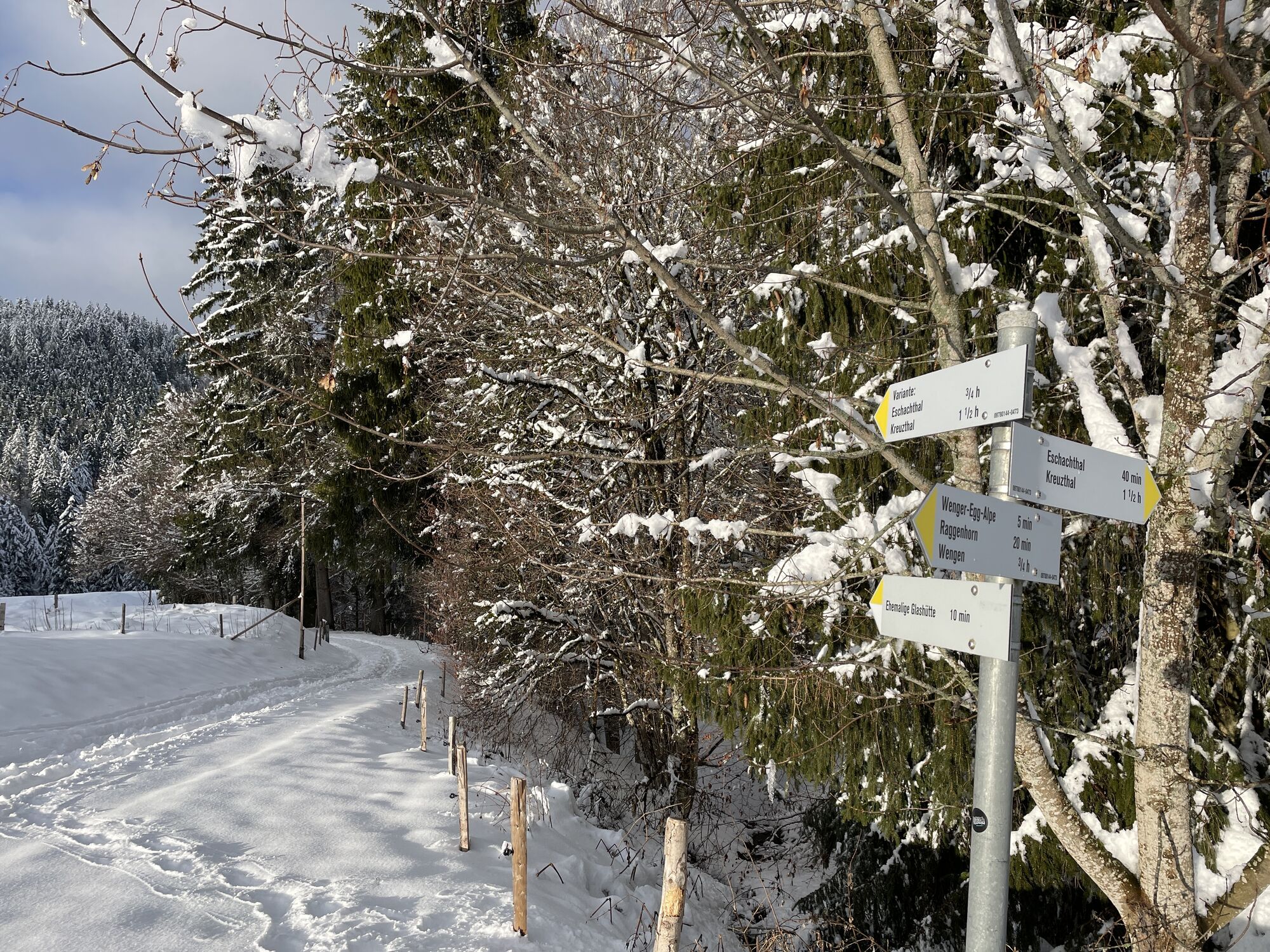
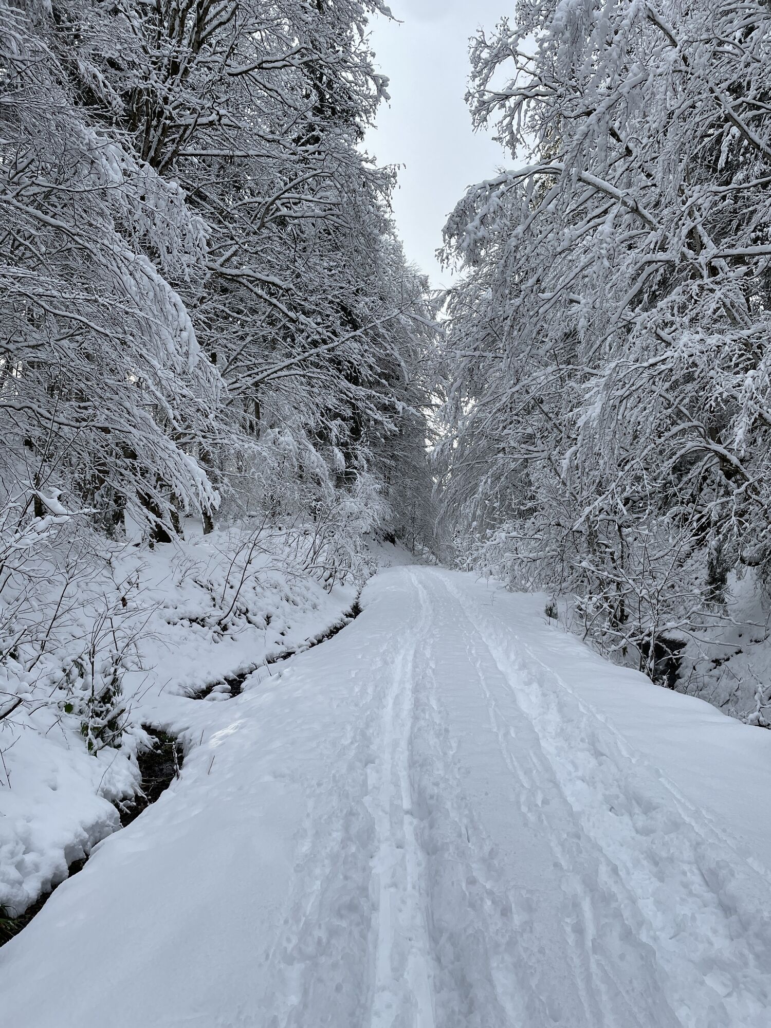
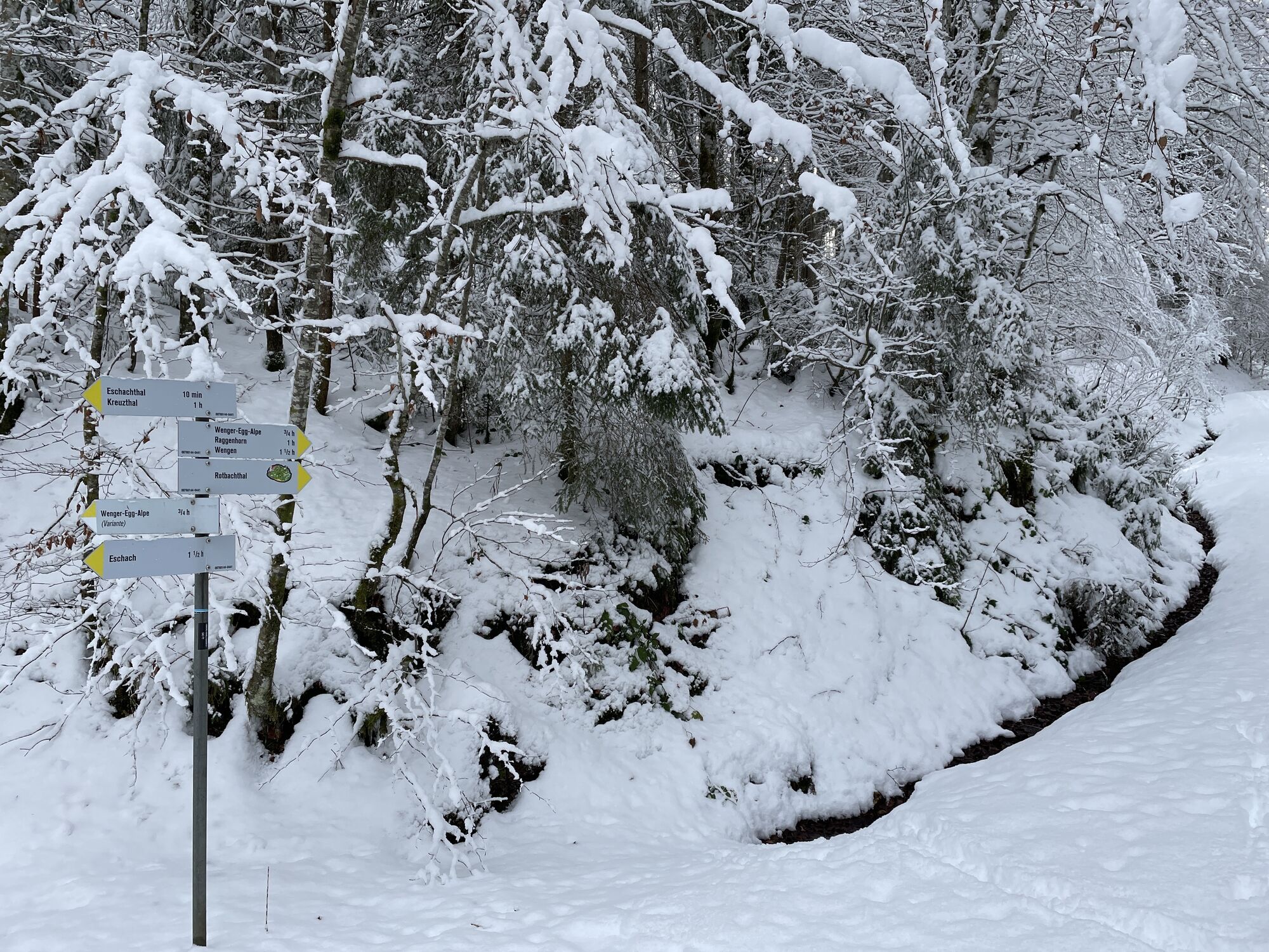
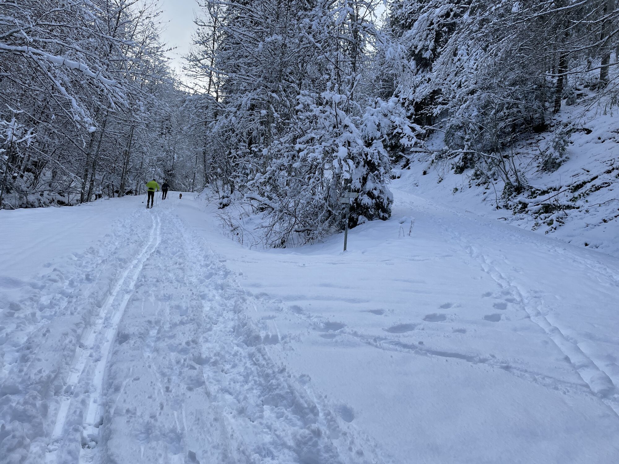
Briefly down the Eschach valley towards Kreuzthal, then right up towards the hillside path and continue on this past the Fürstenbrunnen to the hunter's hut. From there down to the Eschacher pond. Then...
Opis
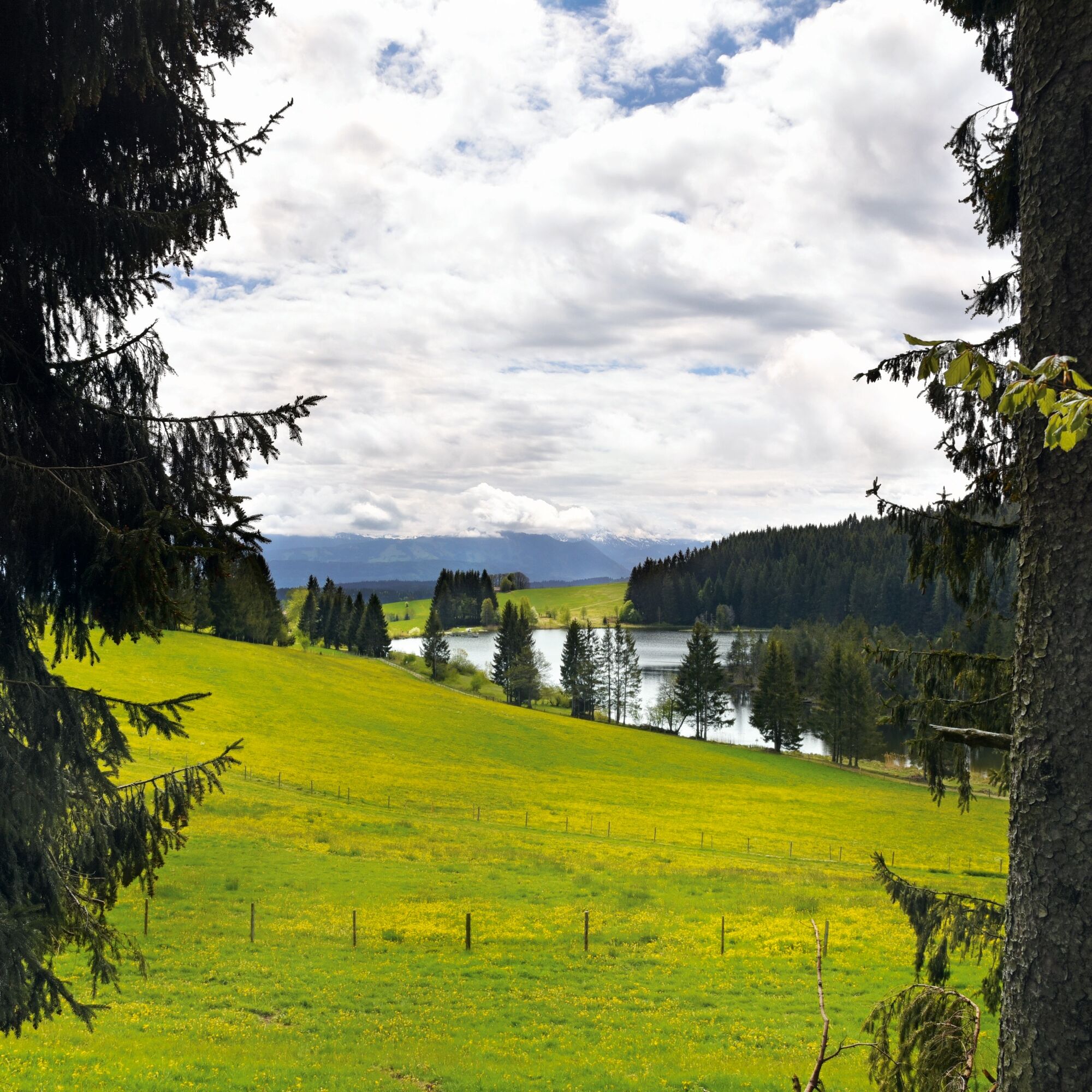
Briefly down the Eschach valley towards Kreuzthal, then right up towards the hillside path and continue on this past the Fürstenbrunnen to the hunter's hut. From there down to the Eschacher pond. Then continue left on the forest path to the Wenger Egg Alp. From the Alp back into the Eschach valley over the Rotenbachtobel, following the stream to its mouth in the Eschach at the parking lot.
Trasa
Ausichtspunkt Eschacher Weiher und Voralpen
(1 035 m)
Uhol pohľadu
2,3 km
Ursersberg
(1 129 m)
Summit
3,9 km
Hauptmannsberg
(1 129 m)
Summit
4,8 km
Änger
(1 123 m)
Summit
5,8 km
Alpe Wenger Egg
(1 016 m)
Úkryt
13,4 km
Trasa
Around the Upper Eschach valley – starting point Batschen
Turistika
16,06
km
Ausichtspunkt Eschacher Weiher und Voralpen
(1 035 m)
Uhol pohľadu
2,3 km
Ursersberg
(1 129 m)
Summit
3,9 km
Hauptmannsberg
(1 129 m)
Summit
4,8 km
Änger
(1 123 m)
Summit
5,8 km
Alpe Wenger Egg
(1 016 m)
Úkryt
13,4 km
Autor
Poskytuje Allgäuer Glasregion Adelegg
Prehliadku Around the Upper Eschach valley – starting point Batschen zabezpečuje outdooractive.com.

Zatiaľ žiadne recenzie
Získajte prehľad
Vždy naživo na mieste s viac ako 9 500 webovými kamerami. bergfex Ako používateľ Pro si teraz môžete pozrieť príslušné webové kamery pre mnohé zájazdy v aplikácii zájazdy z. Môžete si tak priamo prezerať aktuálne podmienky.
Obľúbené výlety v okolí
-
5,0
Siedelalpe Runde von See - Immenstadt
svetloTuristika 10,3 km -
4,7
Grosser-Alpsee-Rundweg-11-km
svetloTuristika 10,9 km -
4,0
Burgruinen und schöne Landschaften
svetloTuristika 10,1 km -
Eistobel Grünenbach
svetloTuristika 6,16 km -
5,0
Untere Iller: Immenstadt bis Martinszell
svetloKajak / Kanu 8,23 km -
4,3
NiSo See, Waltenhofen, Deutschland
svetloZimná turistika 7,38 km -
4,0
Eistobel- & Bergwanderung
strednáTuristika 13,6 km -
4,0
Rundtour Salmaser Höhe
svetloTuristika 13,1 km -
5,0
Himmelsleiter
strednáTuristika 18,8 km -
Rundtour um den Niedersonthofener See
svetloTuristika 16,4 km
Turistika a stopovanie

Viac ako 550.000 návrhov výletov, podrobné mapy a intuitívny plánovač trás robia z aplikácie povinnú výbavu pre všetkých nadšencov prírody.

Nenechajte si ujsť ponuky a inšpiráciu na ďalšiu dovolenku
Prihlásiť sa k odberu noviniek
Chyba
Vyskytla sa chyba. Prosím, skúste to znova.
Ďakujeme za vašu registráciu
Vaša e-mailová adresa bol pridaný do poštového zoznamu.
Zájazdy po celej Európe
Rakúsko
Švajčiarsko
Nemecko
Taliansko
Slovinsko
Francúzsko
Holandsko
Belgicko
Poľsko
Lichtenštajnsko
Česko
Slovensko
španielsko
Hrvaška
Bosna a Hercegovina
Luxembursko
Andorra
Portugalsko
Island
Spojené kráľovstvo
Írsko
Grécko
Albánsko
Severné Macedónsko
Malta
Nórsko
Čierna Hora
Moldavsko
Kosovo
Maďarsko
San Maríno
Rumunsko
Estónsko
Lotyšsko
Bielorusko
Cyprus
Litva
Srbsko
Bulharsko
Monako
Dánsko
Švédsko
Fínsko





