







In 3 day stages through the town area - Stage 1
Úroveň náročnosti: T2
The journey starts at Oberstaufen PARK. From here, the tour goes through the town and around the Staufen. Along the foot of the Hündle to the Schwandalpe and from there deeper into the Nagelfluhkette Nature...
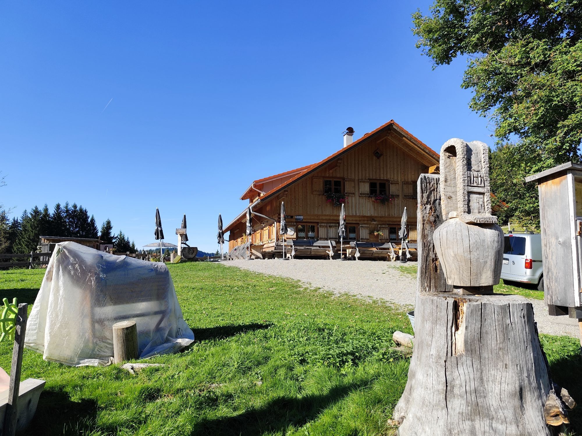
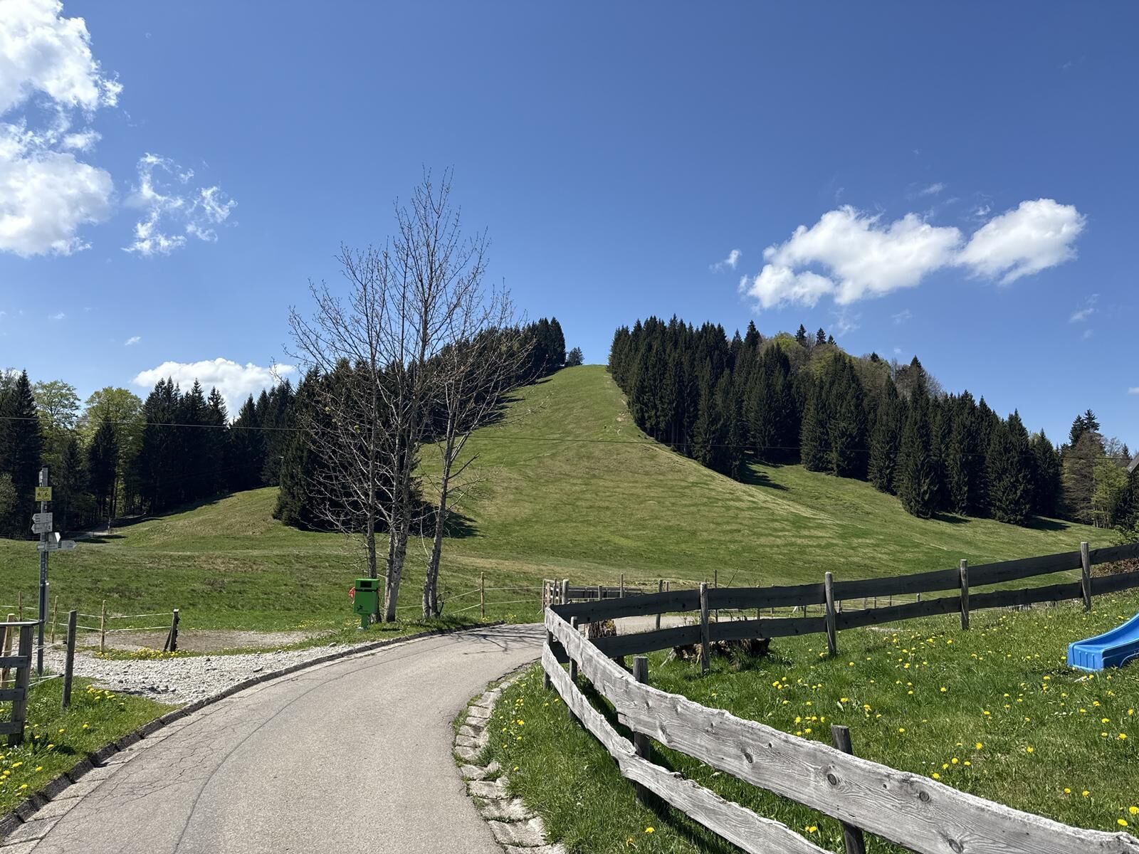
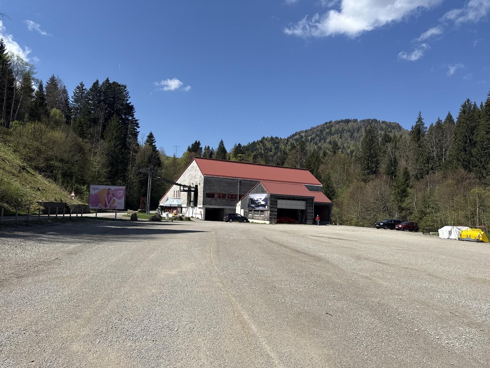
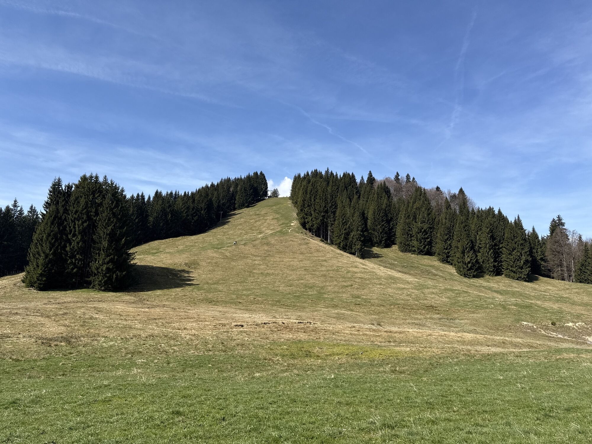
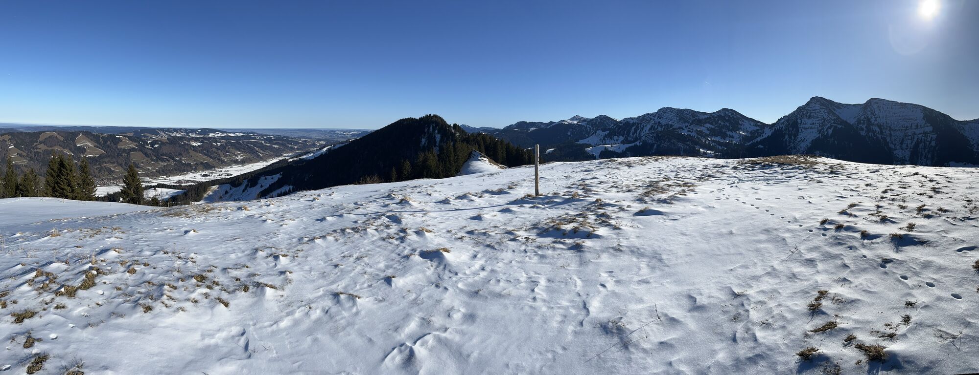
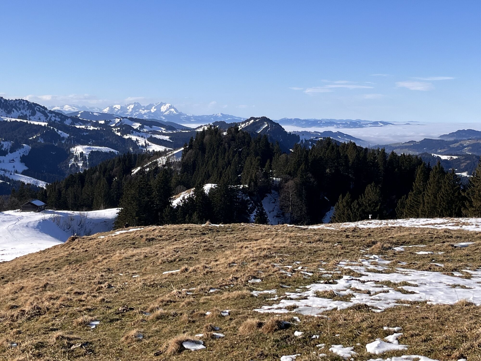
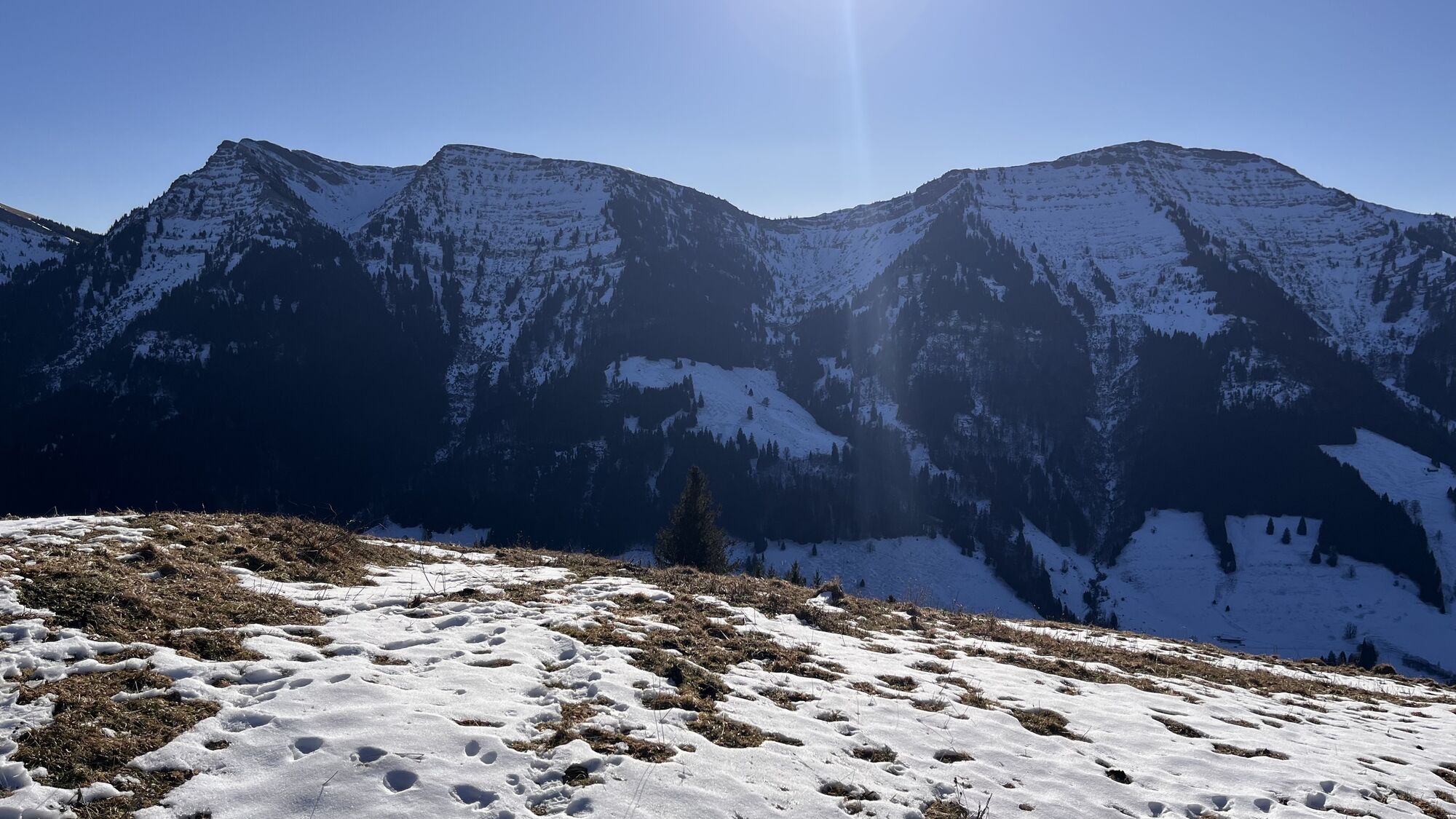
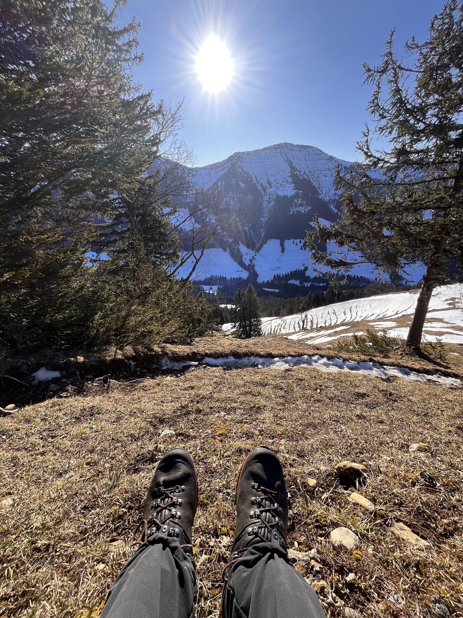
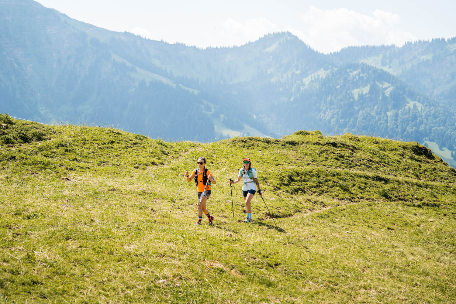
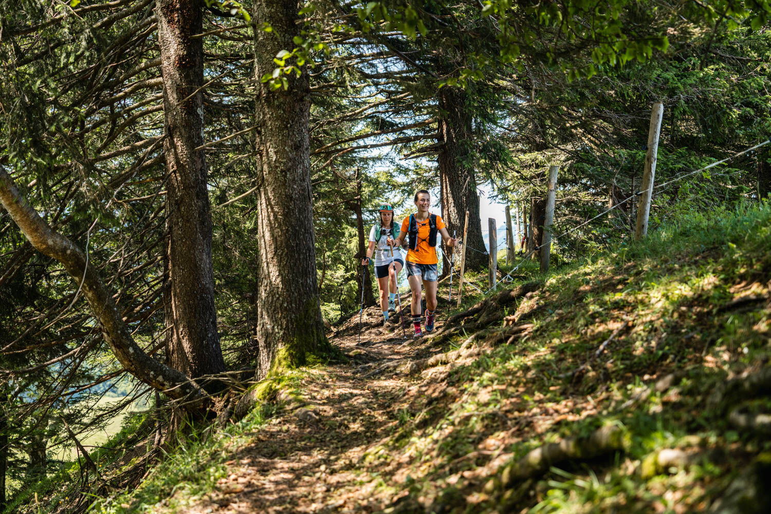
The journey starts at Oberstaufen PARK. From here, the tour goes through the town and around the Staufen. Along the foot of the Hündle to the Schwandalpe and from there deeper into the Nagelfluhkette Nature Park, up to the Prodel. With a magnificent view, it goes over the ridge and finally down a forest path to the valley station of the Hochgratbahn.


Backpack with sufficient provisions and drinks. Rain protection, first-aid kit, and ankle-high shoes should not be missing either.
Those who want to do all three stages in a row without logistical transport challenges are best served by bus 95:
Stage 1: Start at Oberstaufen PARK - no transport necessary. End at the valley station of the Hochgratbahn - bus 95
Stage 2: Start at the valley station of the Hochgratbahn - bus 95. End in Steibis town center - bus 95
Stage 3: Start in Steibis town center - bus 95. End at Oberstaufen PARK - no transport necessary
Arrival by regional train to Oberstaufen station: www.oberstaufen.de/bus-parken
Parking facilities available in town. Overview of all public transport and parking facilities: www.oberstaufen.de/bus-parken
T2
Enjoy the Allgäu cuisine in one of the numerous alpine huts along the way.
Webové kamery z prehliadky
-
Hochgratbahn Bergstation
-
Oberstaufen
-
Skilifte Sinswang
-
Oberstaufen - Biohotel Schratt
-
Oberstaufen - Biohotel Schratt
-
Oberstaufen
-
Fluhexpress Berg
-
Fluhexpress Berg
-
Fluhexpress Berg
-
Fluhexpress Berg
-
Alpe Hohenschwand
-
Oberstaufen
-
Oberstaufen
-
Oberstaufen
-
Oberstaufen
-
Oberstaufen
-
Oberstaufen - Rosenalp
-
Fluhexpress Bergstation
-
Hündlebahn Bergstation
-
Imberghaus
-
Oberstaufen
-
Oberstaufen - Hörmoos
-
Alpsee Bergwelt
-
Alpsee Bergwelt
-
Alpsee Bergwelt - Bärenfalle
Získajte prehľad
Vždy naživo na mieste s viac ako 9 500 webovými kamerami. bergfex Ako používateľ Pro si teraz môžete pozrieť príslušné webové kamery pre mnohé zájazdy v aplikácii zájazdy z. Môžete si tak priamo prezerať aktuálne podmienky.
Obľúbené výlety v okolí
-
4,7
Steibis - Buchenegger Waterfalls
strednáTuristika 6,47 km -
4,6
Hittisau | Wasserwanderweg
svetloTematická trasa 7 km -
4,8
Rindalphorn und Hochgrat
strednáTuristika 15,6 km -
5,0
Nagelfluh ridge route Hochgrat - Mittag
ťažkéTuristika 14,0 km -
4,9
Immenstädter Horn
svetloTuristika 9,35 km -
4,4
Immenstädter Horn - Gschwender Horn
svetloTuristika 10 km -
3,5
Rundtour Mittag
svetloTuristika 15,7 km -
5,0
Siedelalpe Runde von See - Immenstadt
svetloTuristika 10,3 km -
4,5
Circular route Hündle to the Buchenegger Waterfalls
strednáTuristika 9,69 km -
4,4
Circular route Steibis to Dreiländerblick
strednáTuristika 7,95 km
Turistika a stopovanie


Nenechajte si ujsť ponuky a inšpiráciu na ďalšiu dovolenku
Vaša e-mailová adresa bol pridaný do poštového zoznamu.





