






In 3 day stages through the town area

Úroveň náročnosti: T3
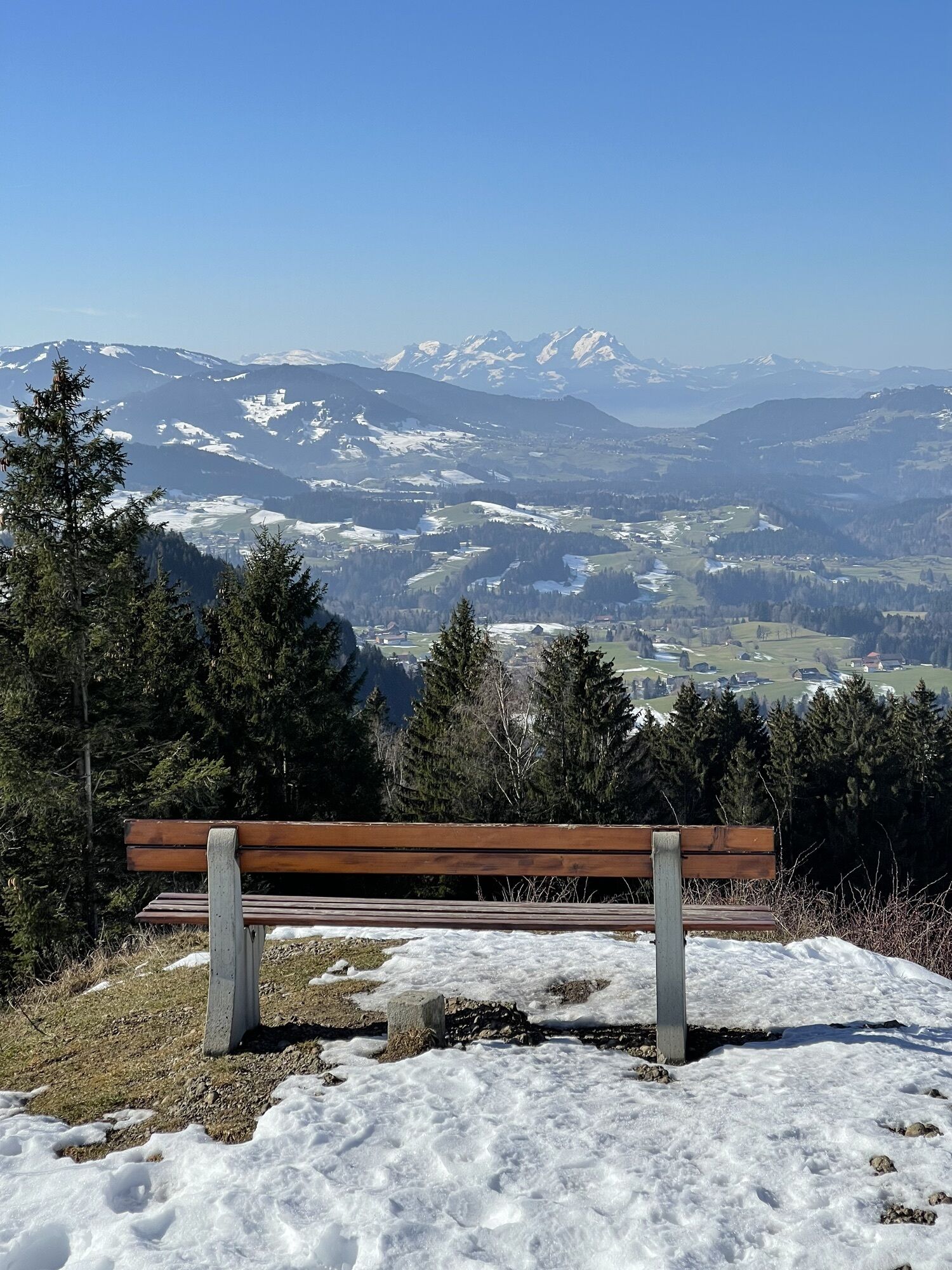
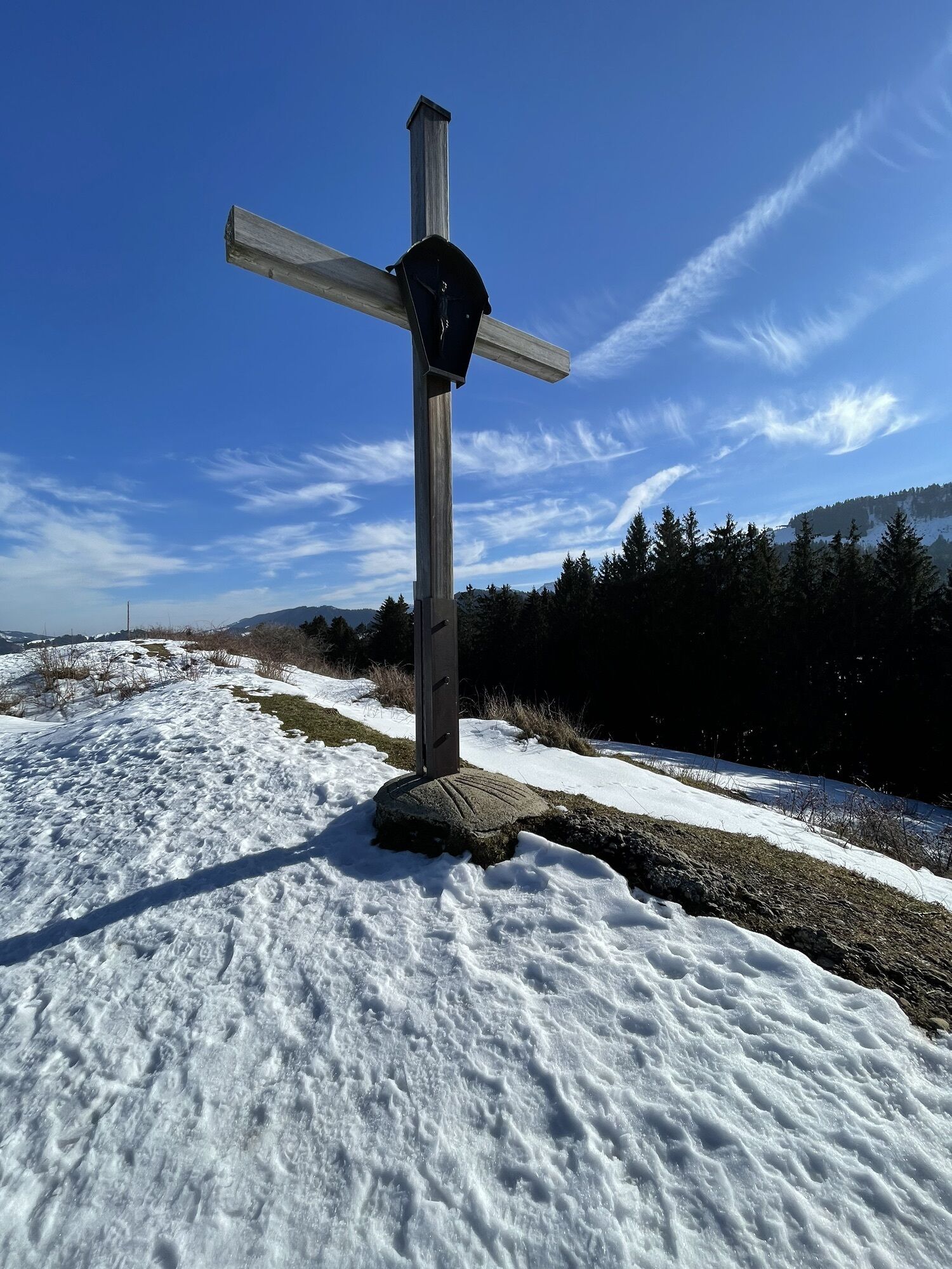
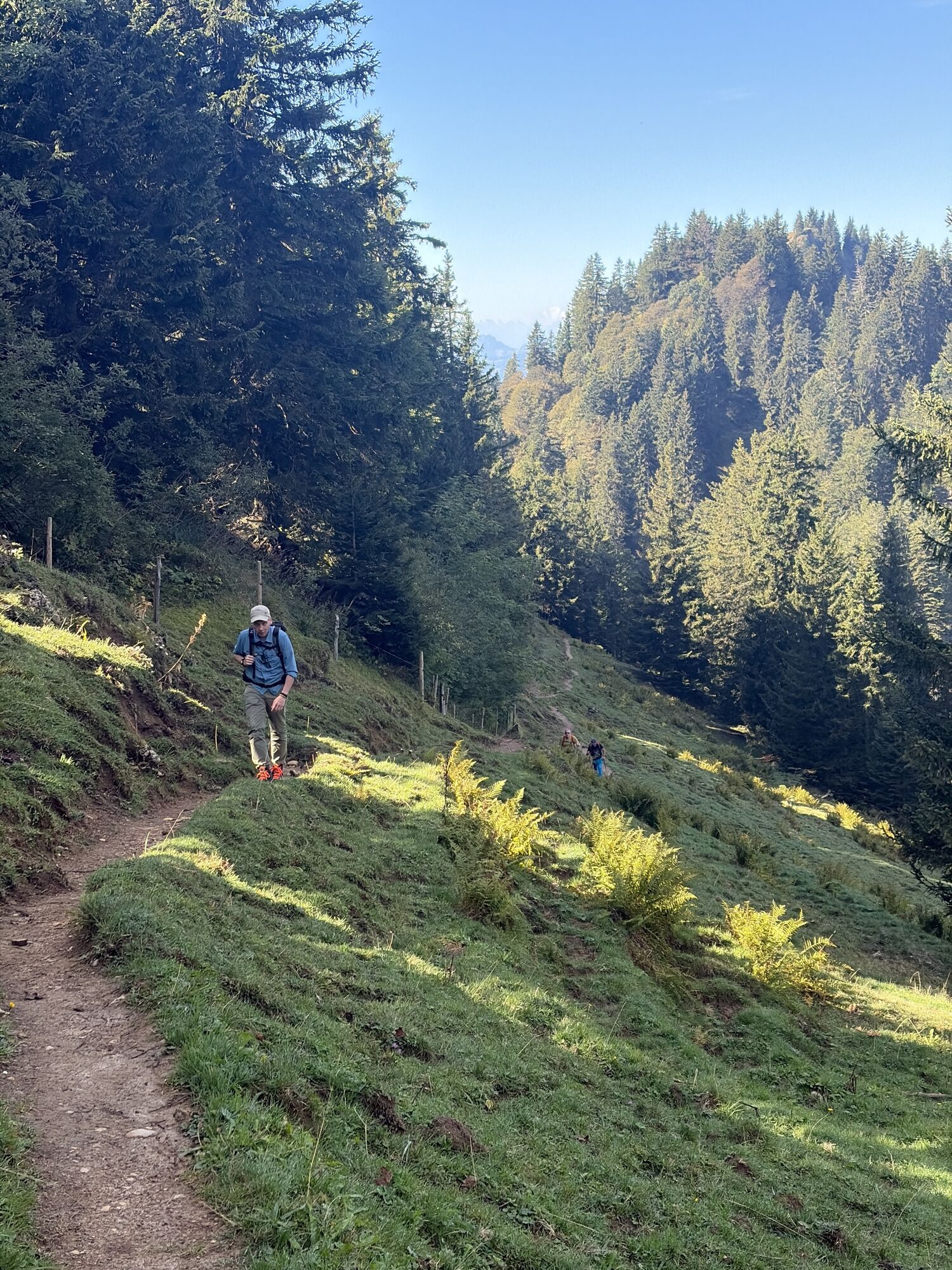
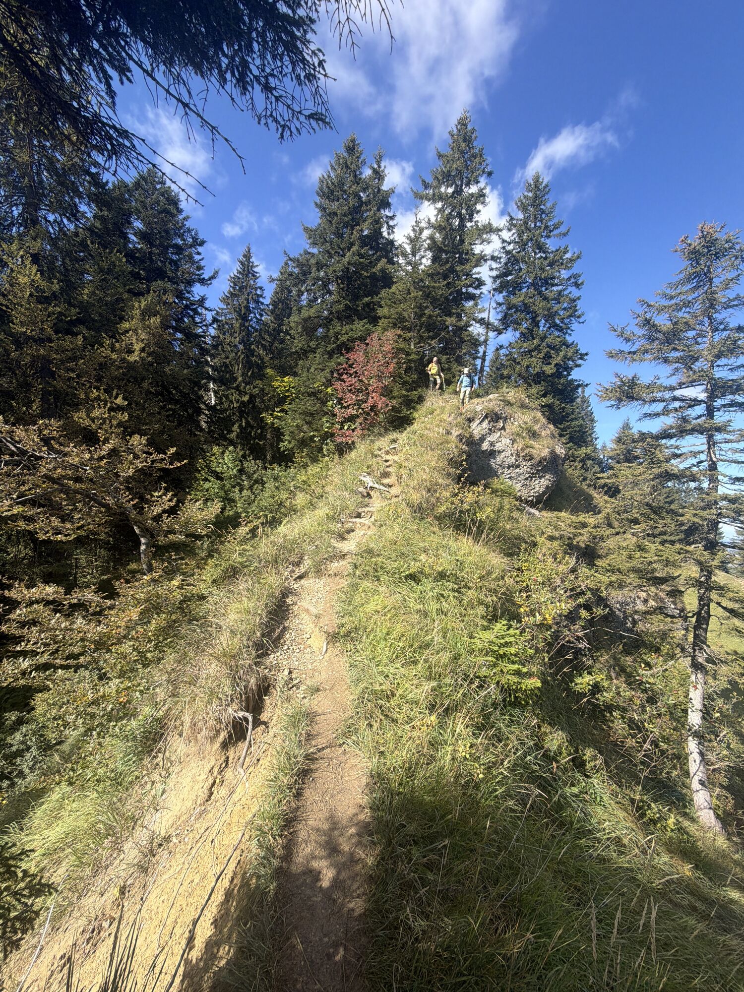
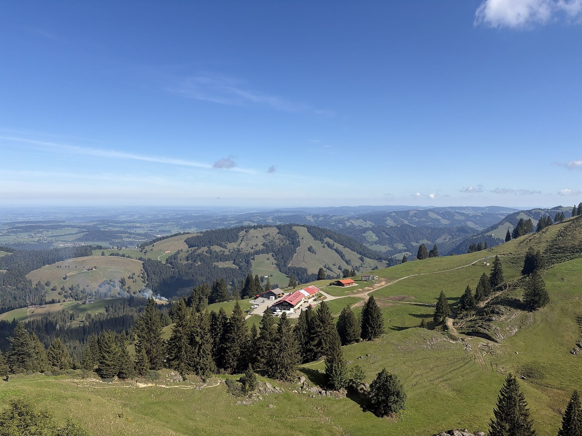
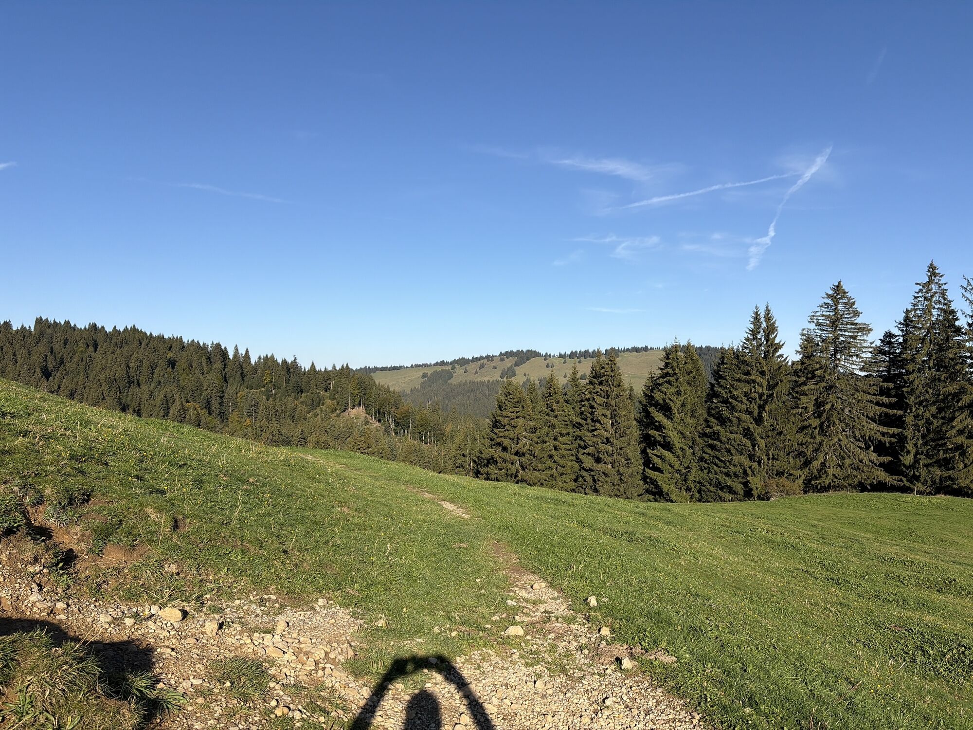
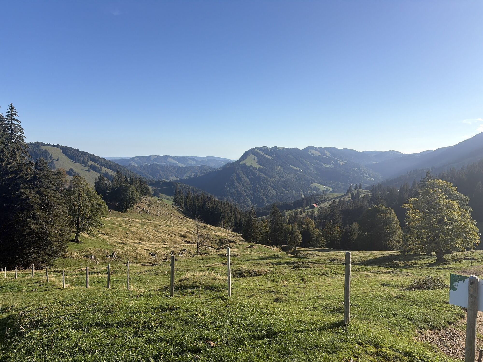
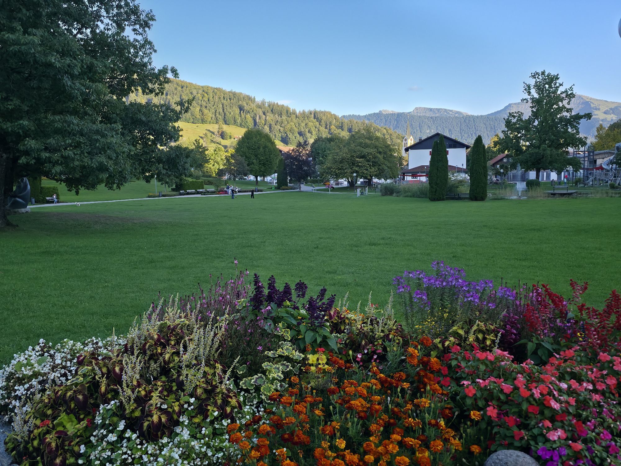
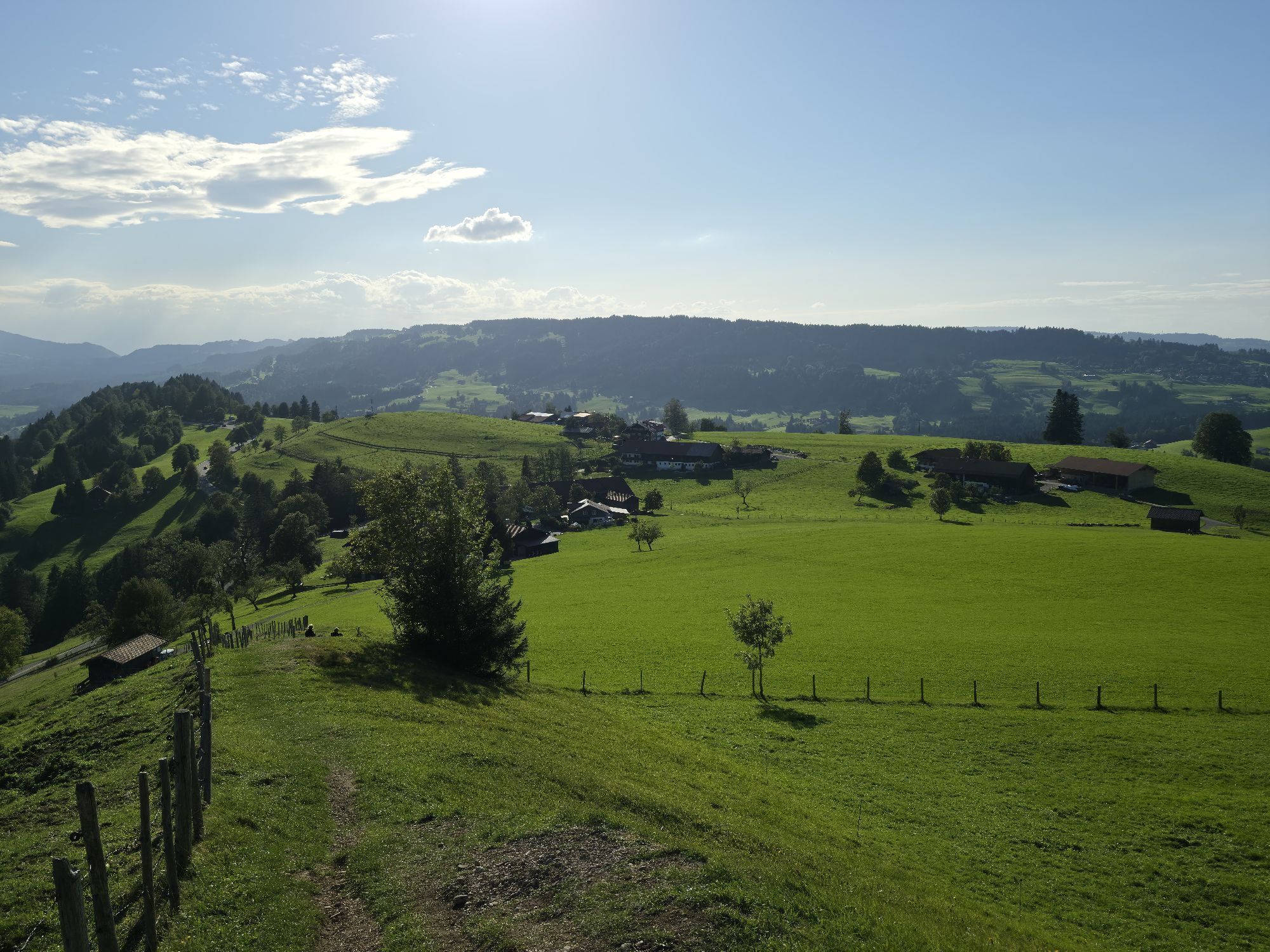
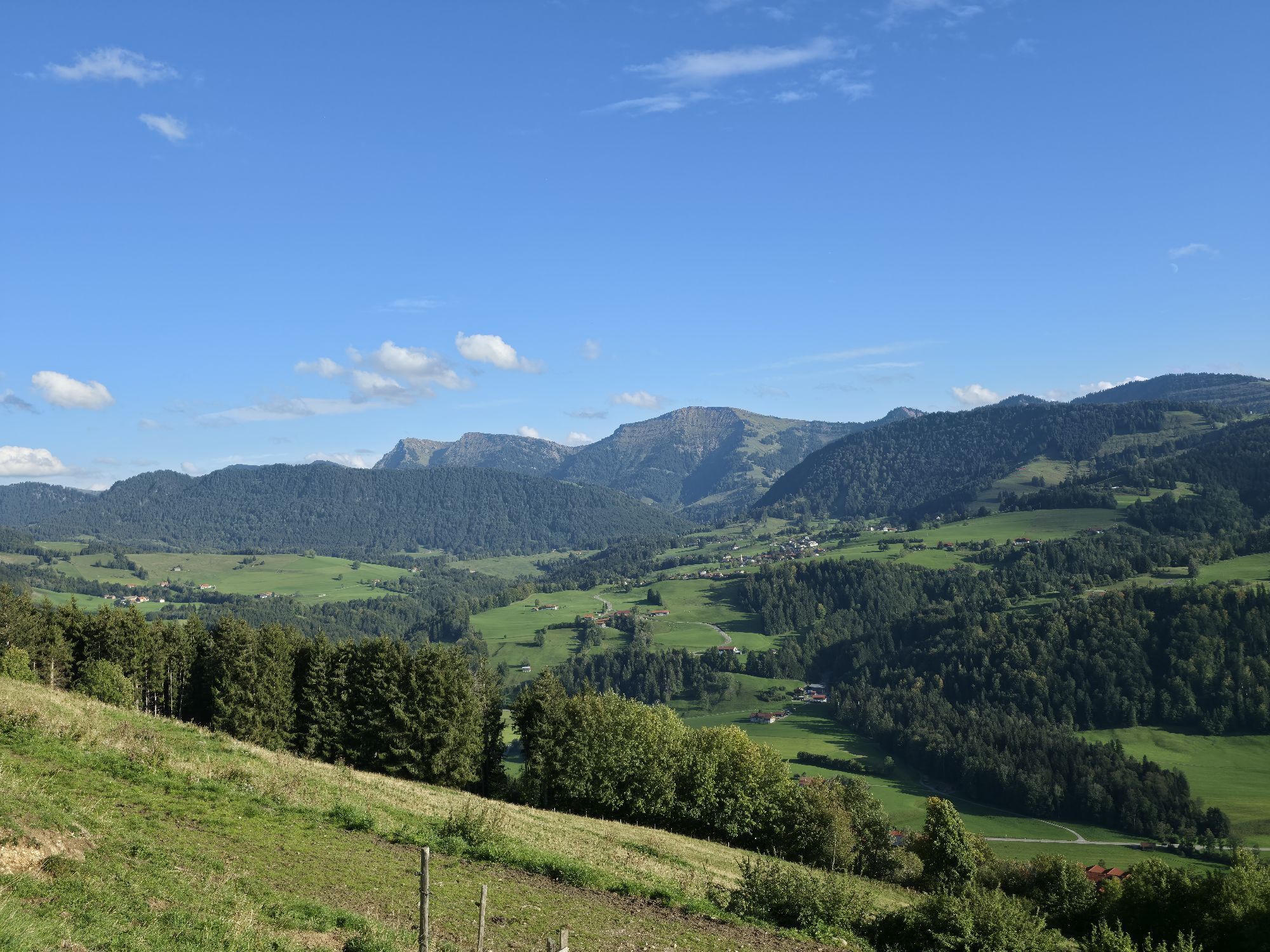
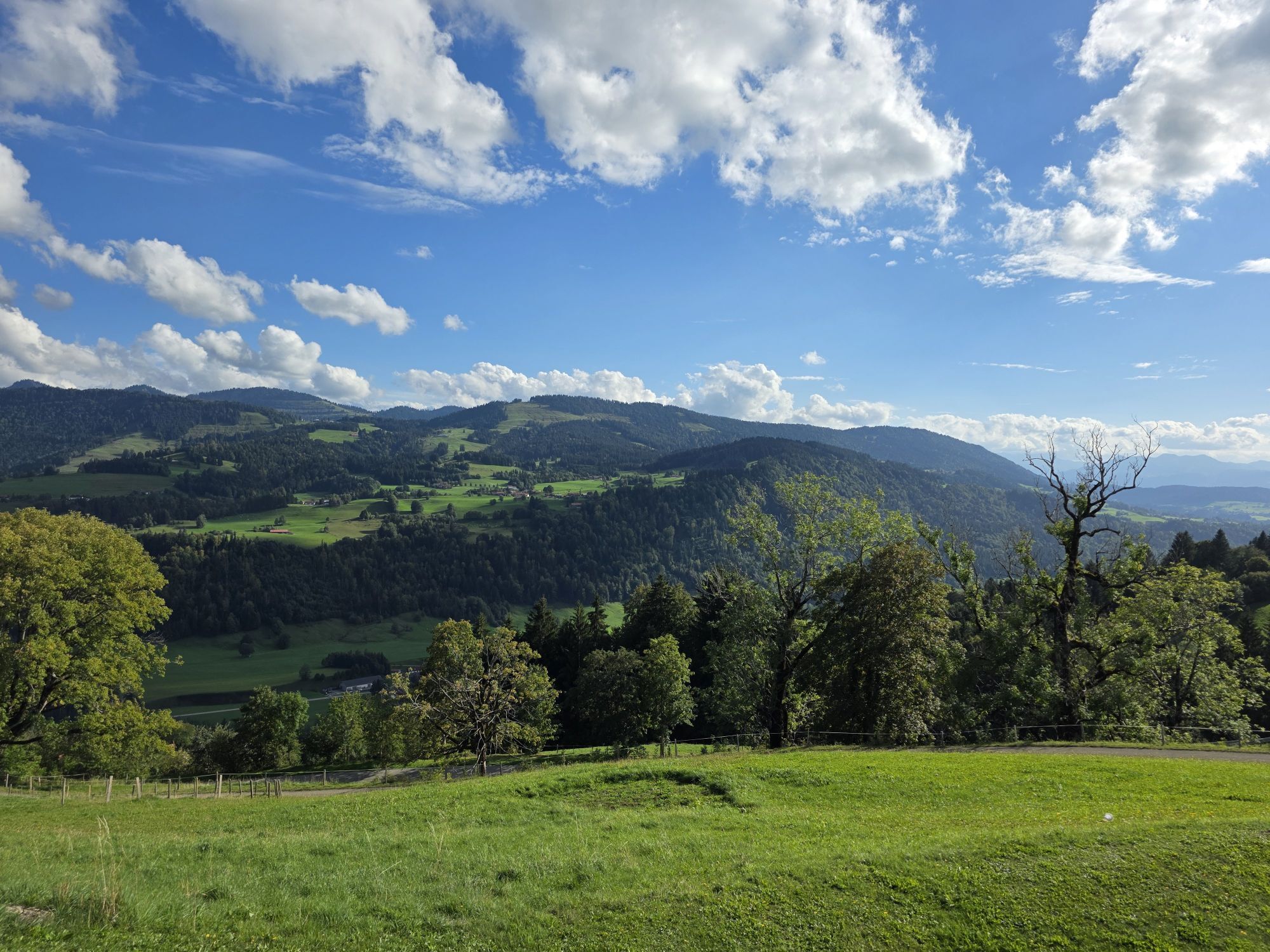
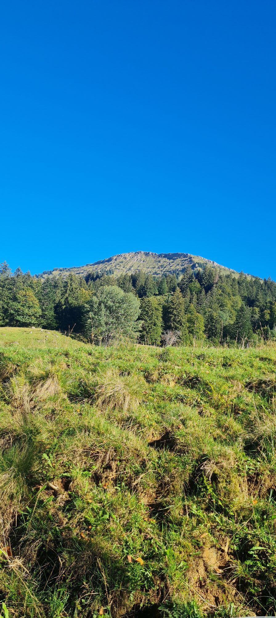
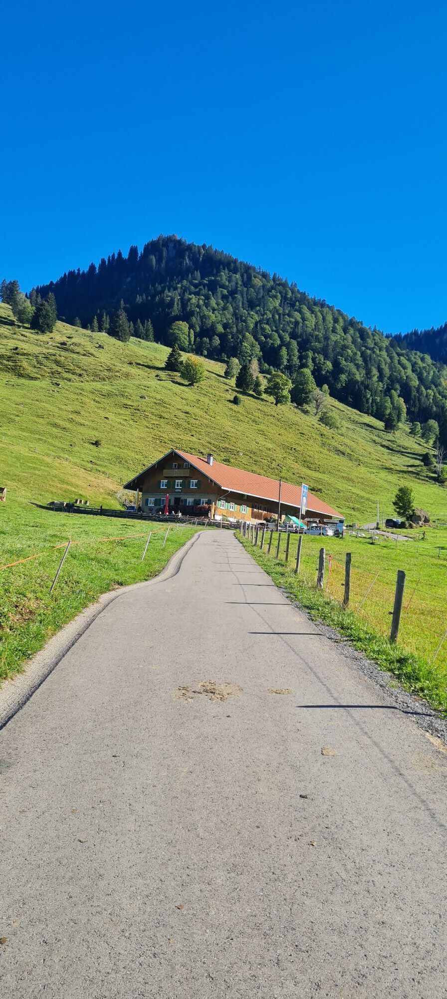
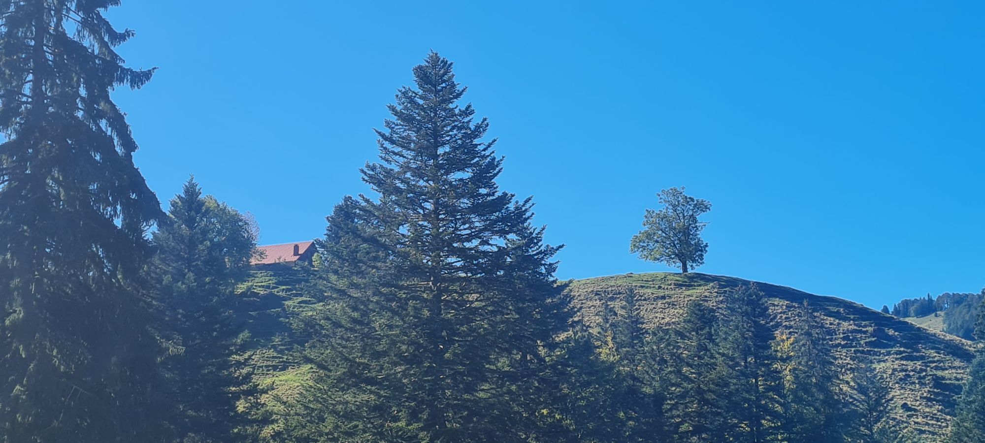
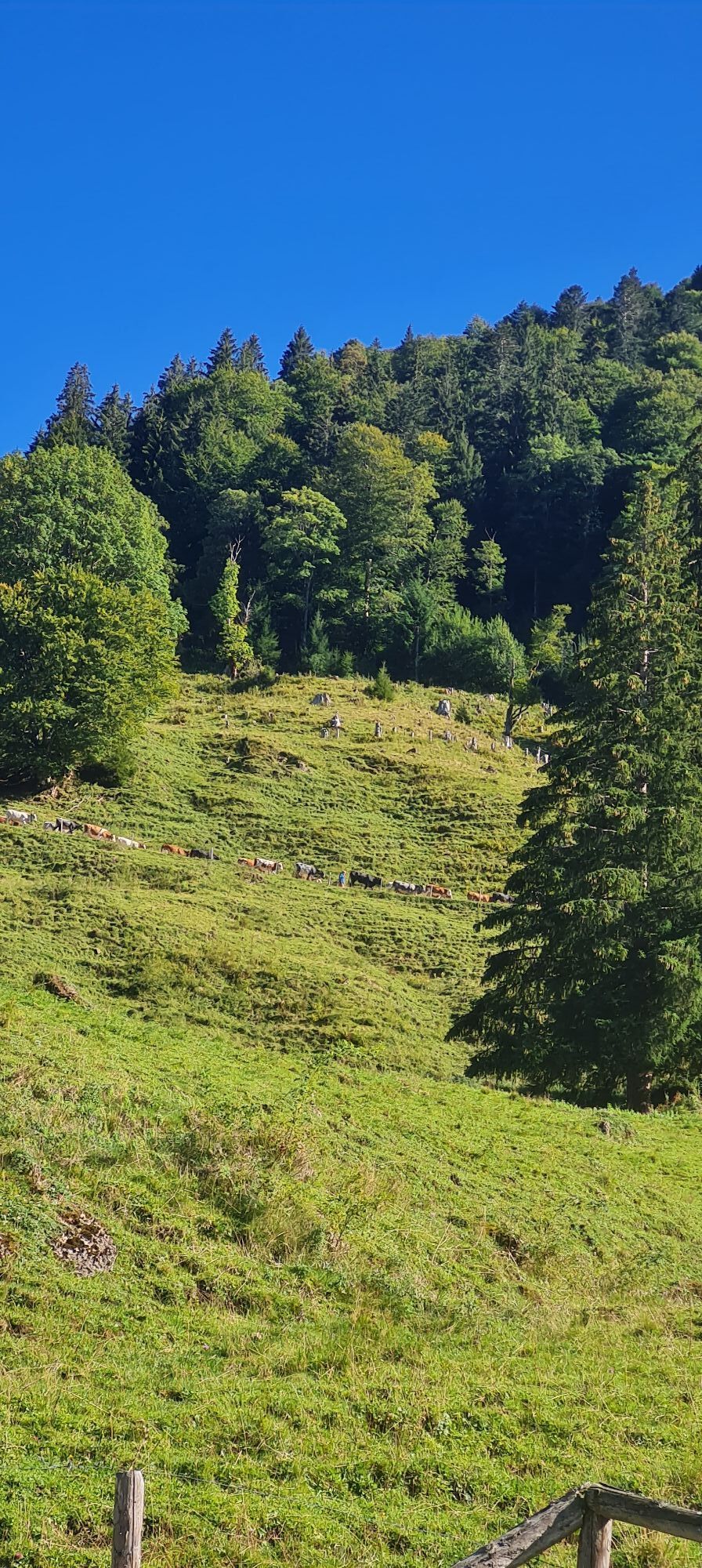
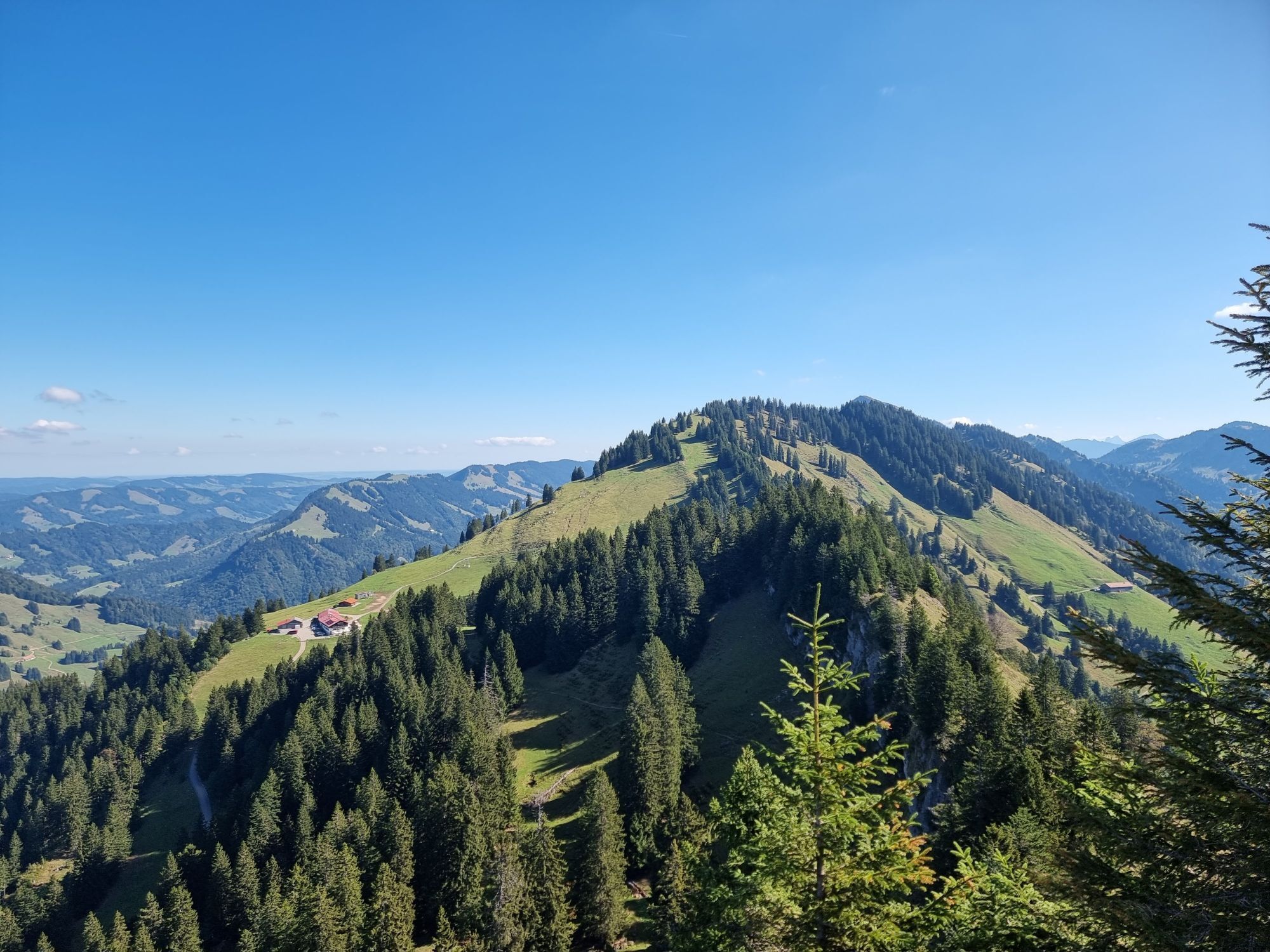
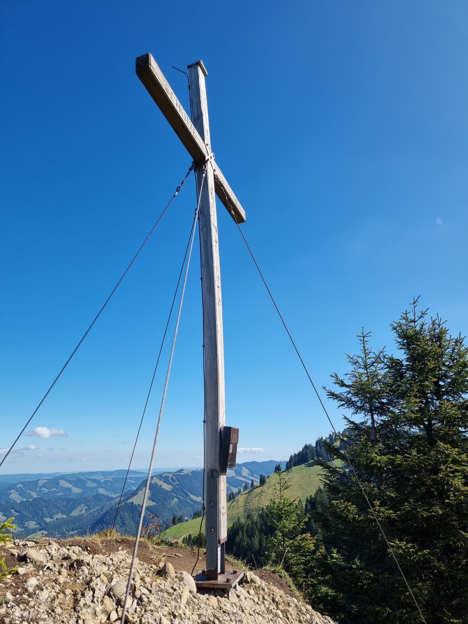

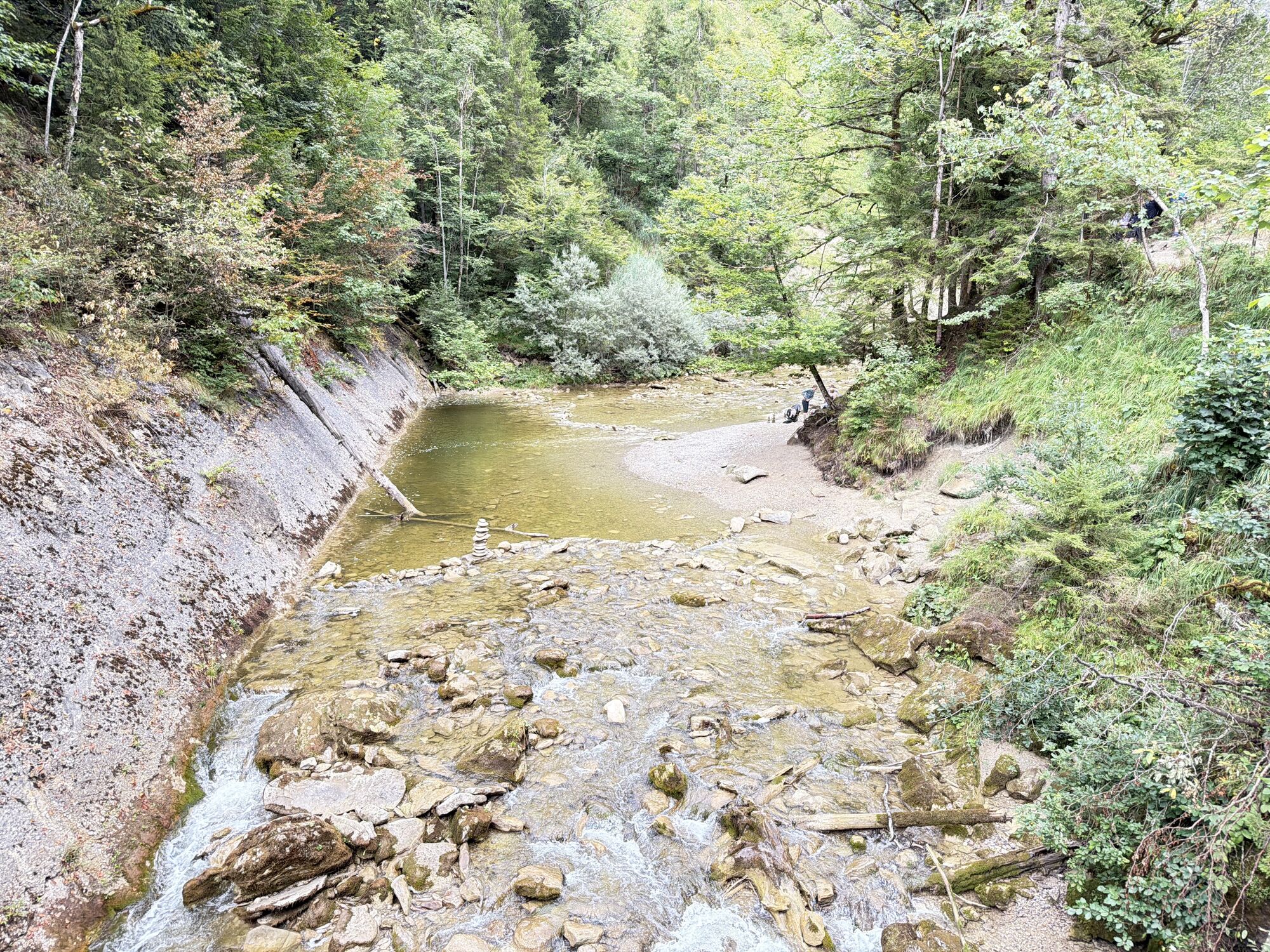
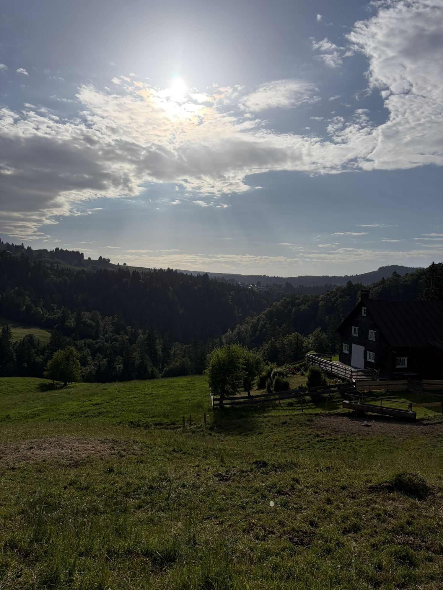
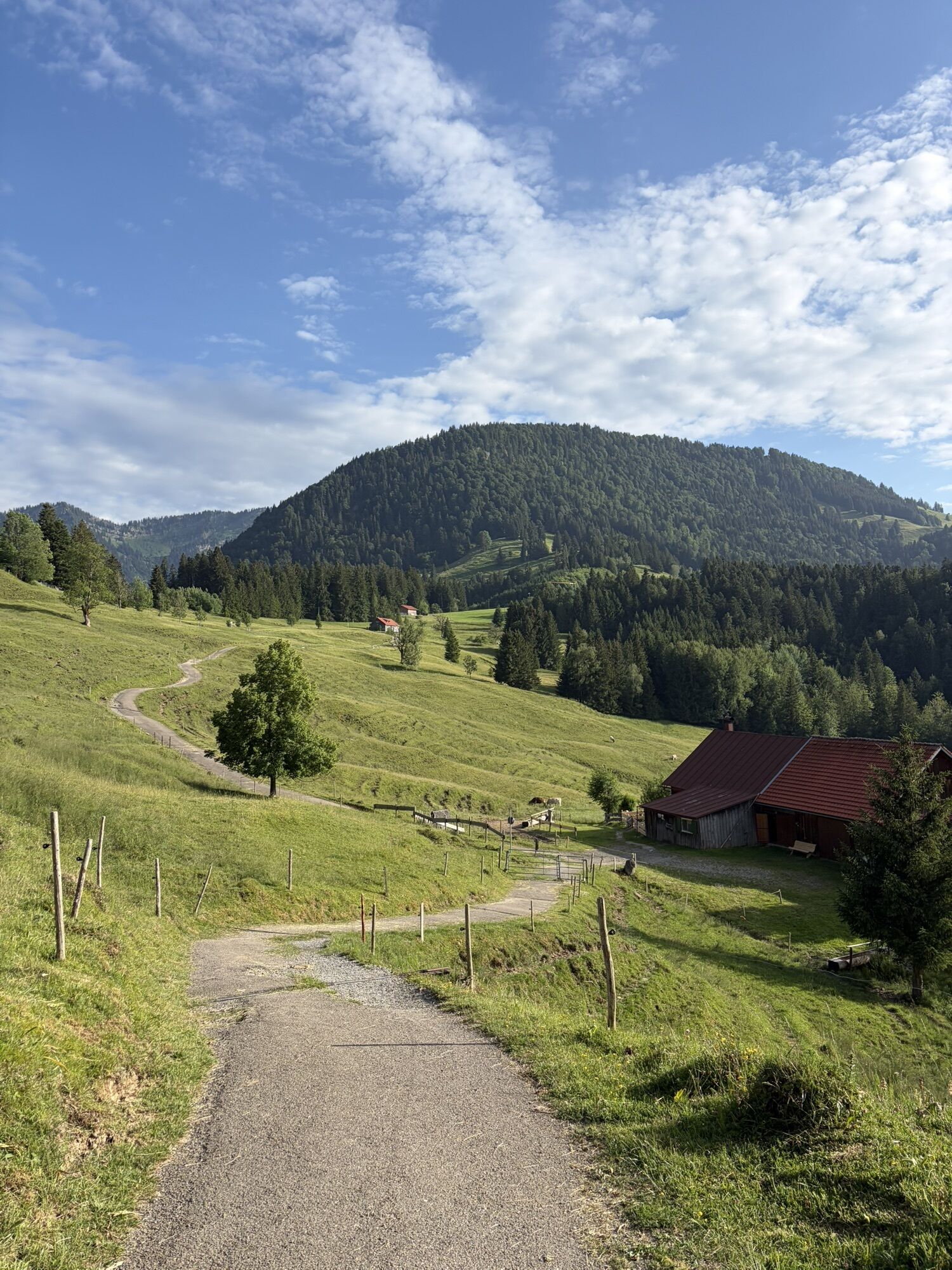
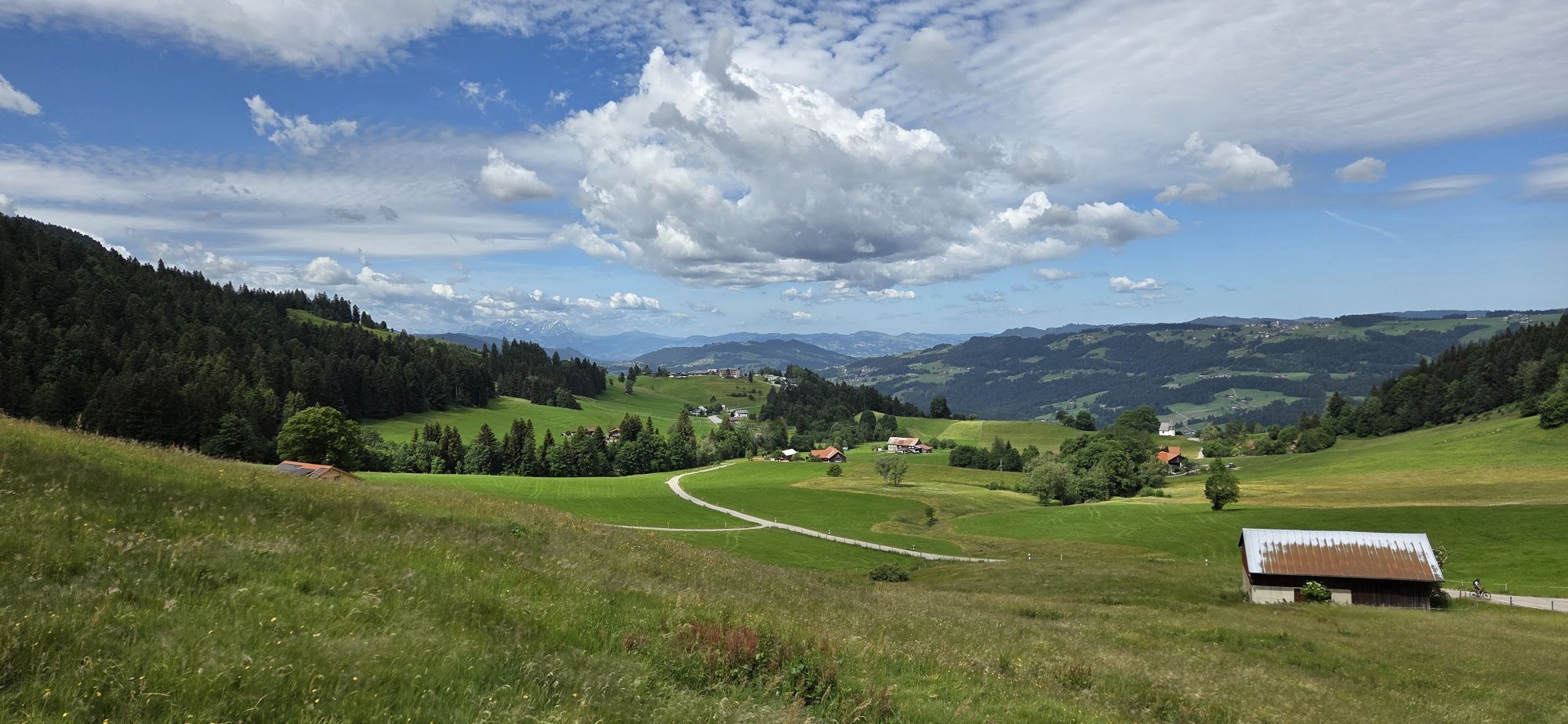
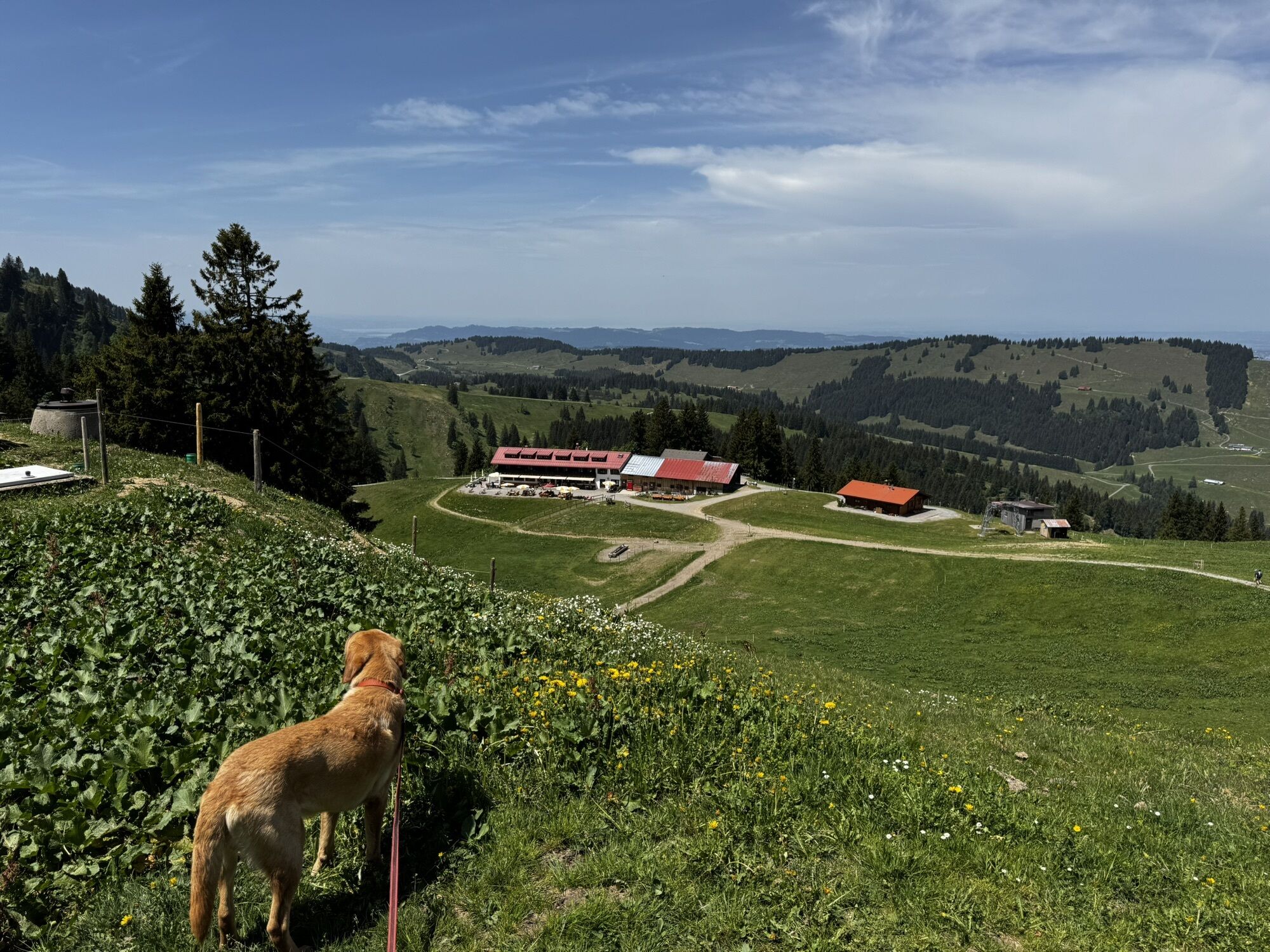
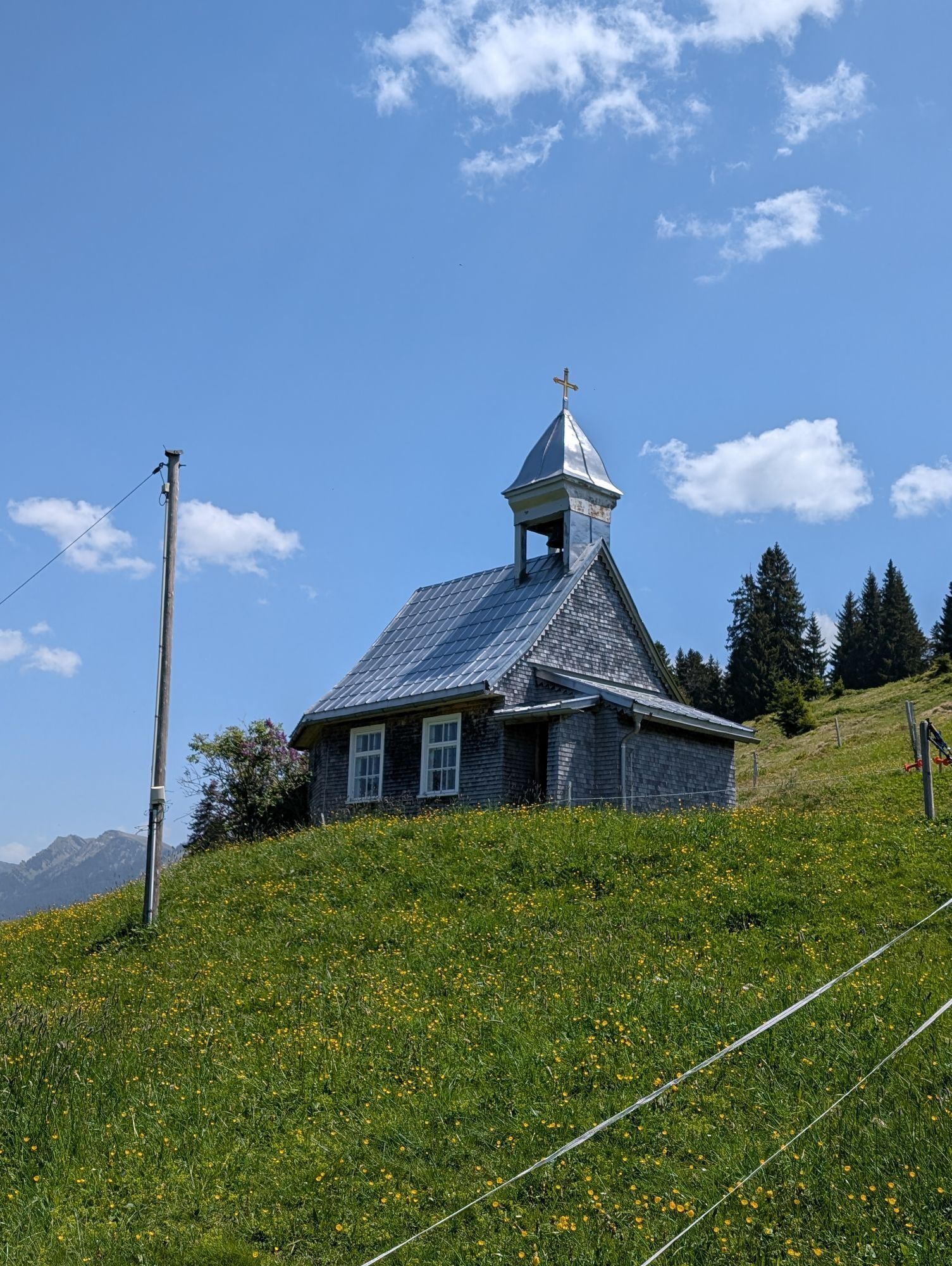
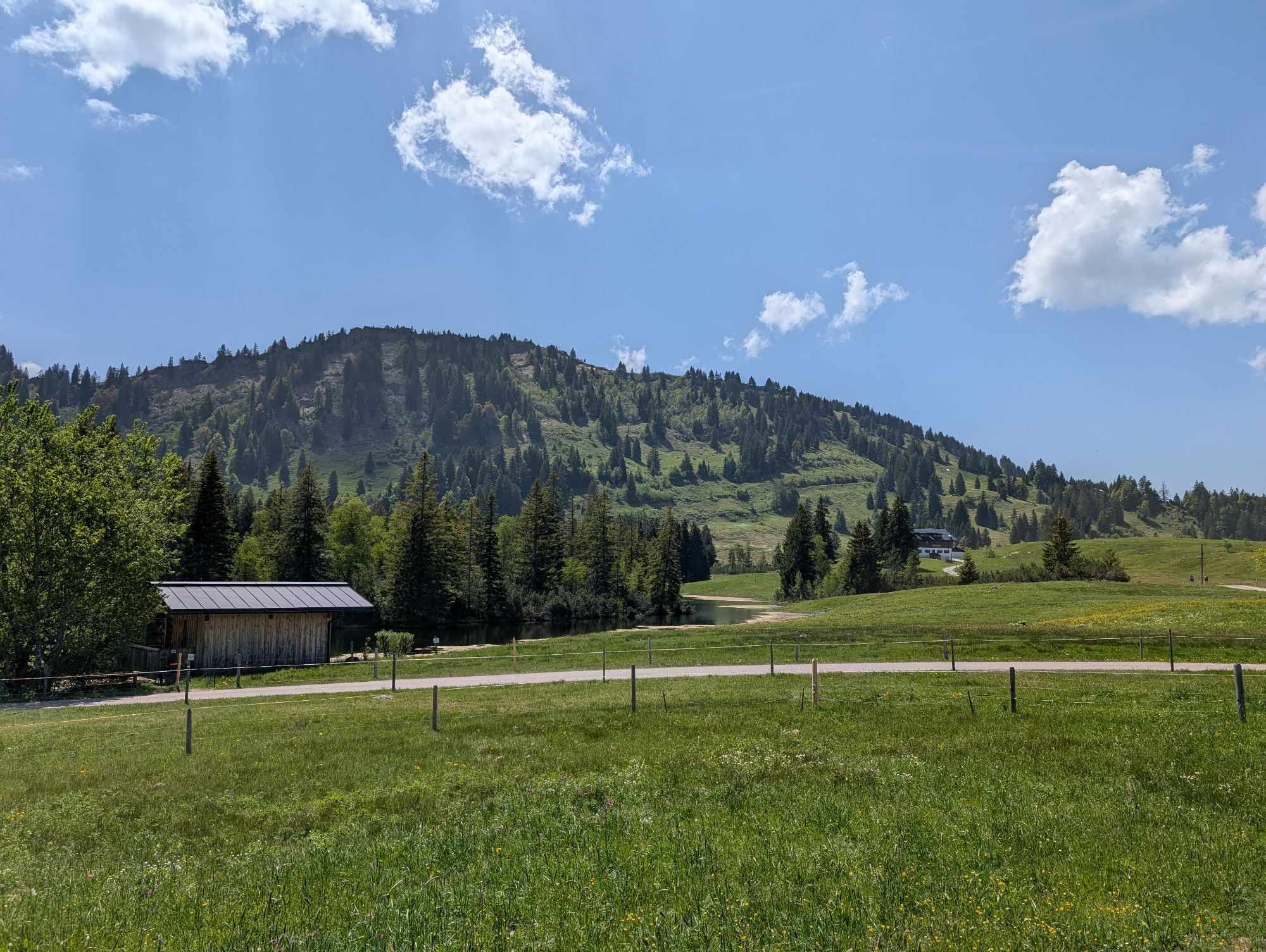
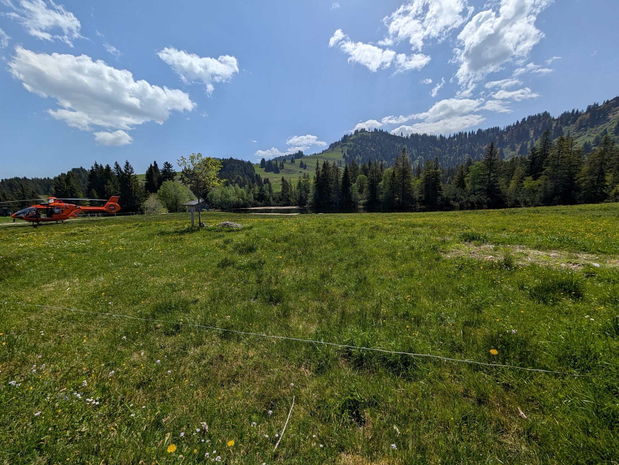
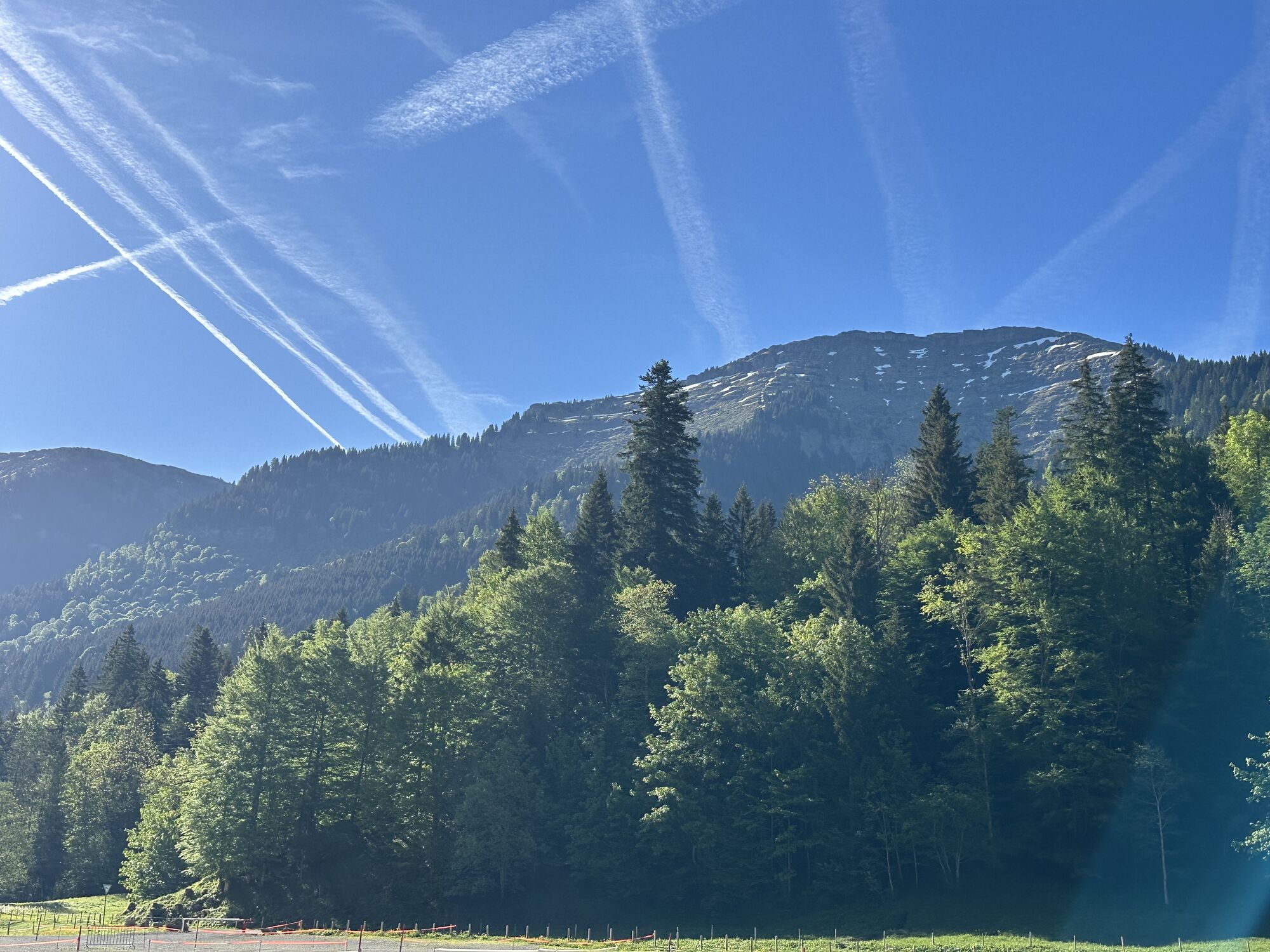
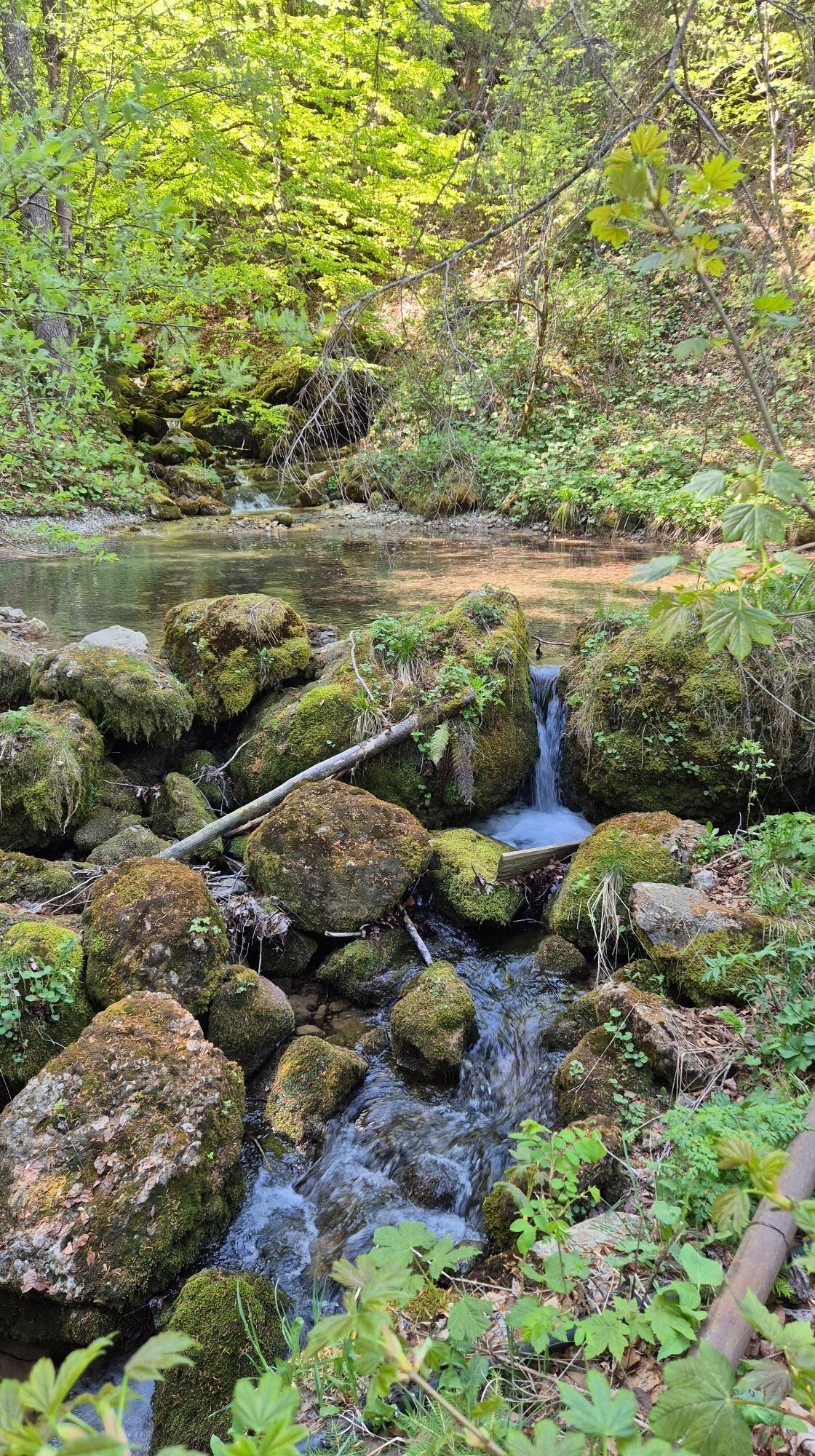
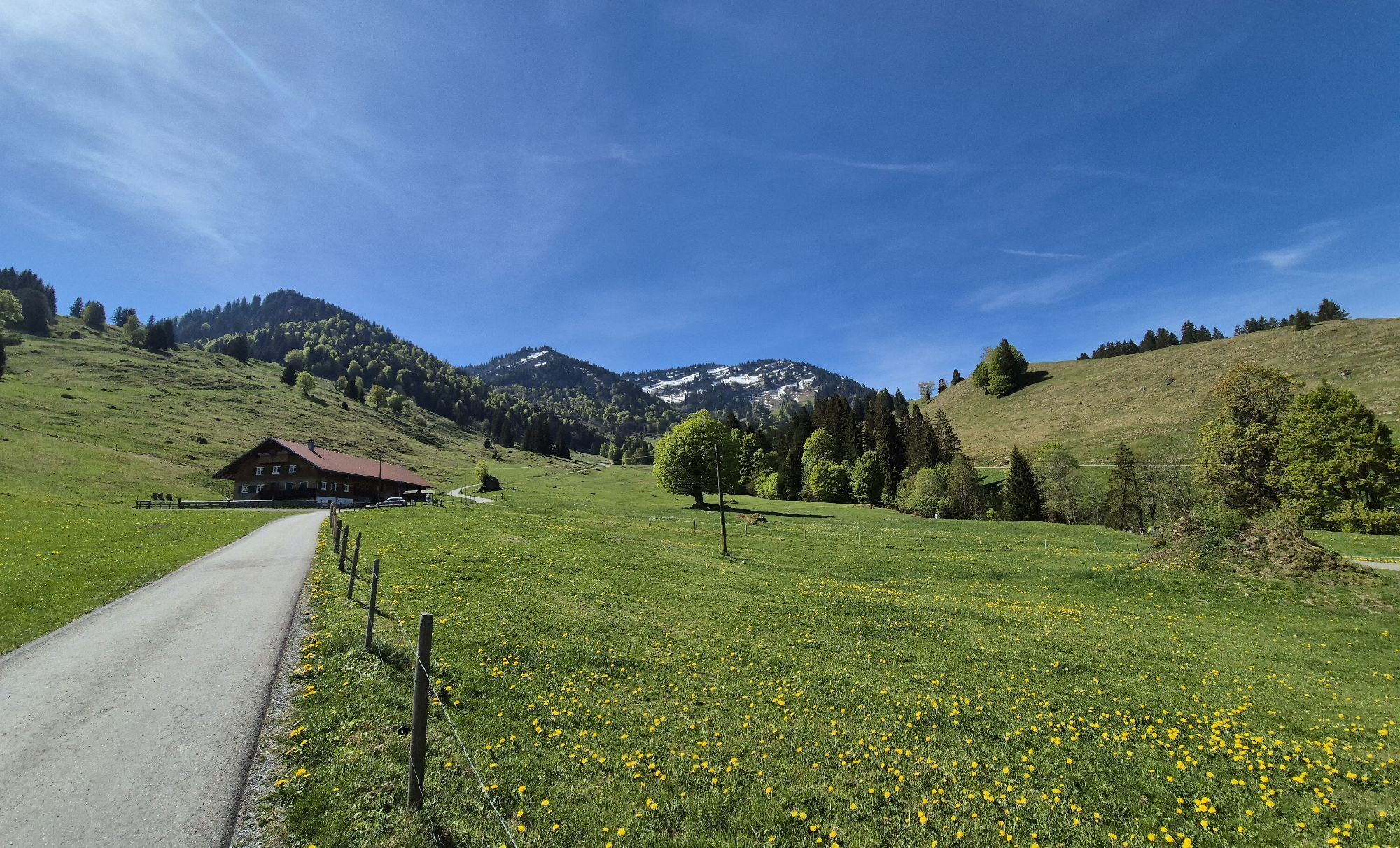
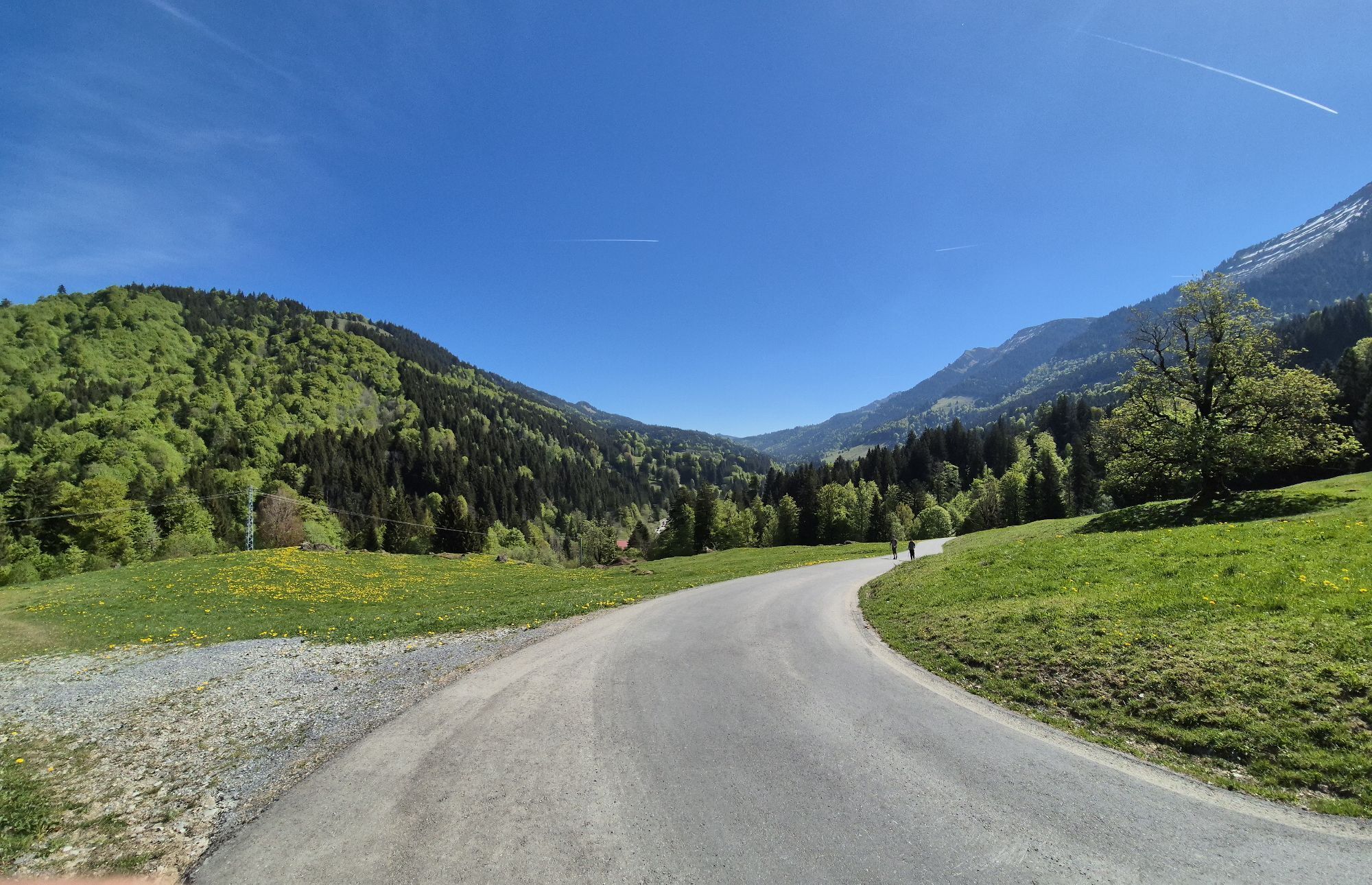
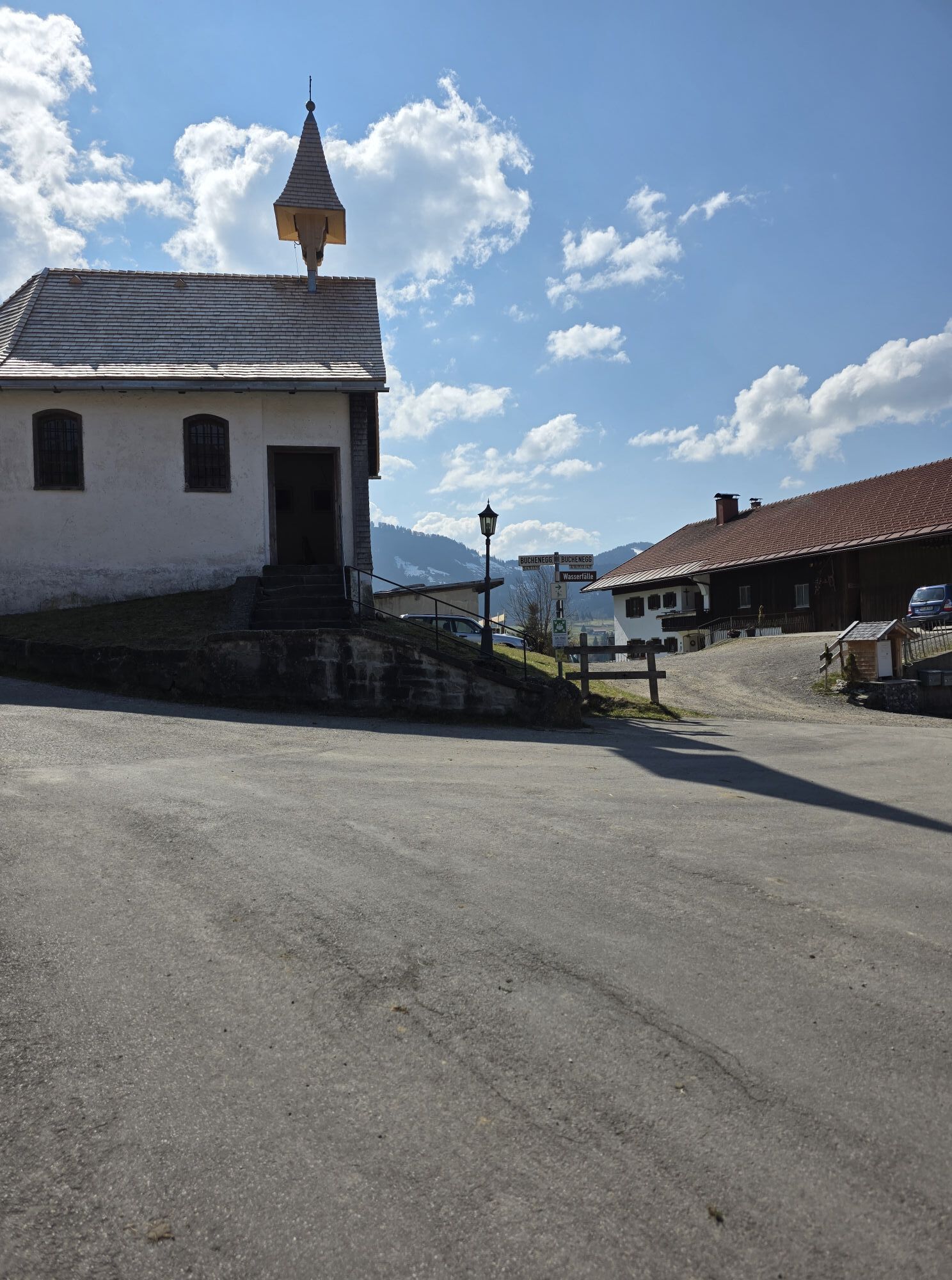
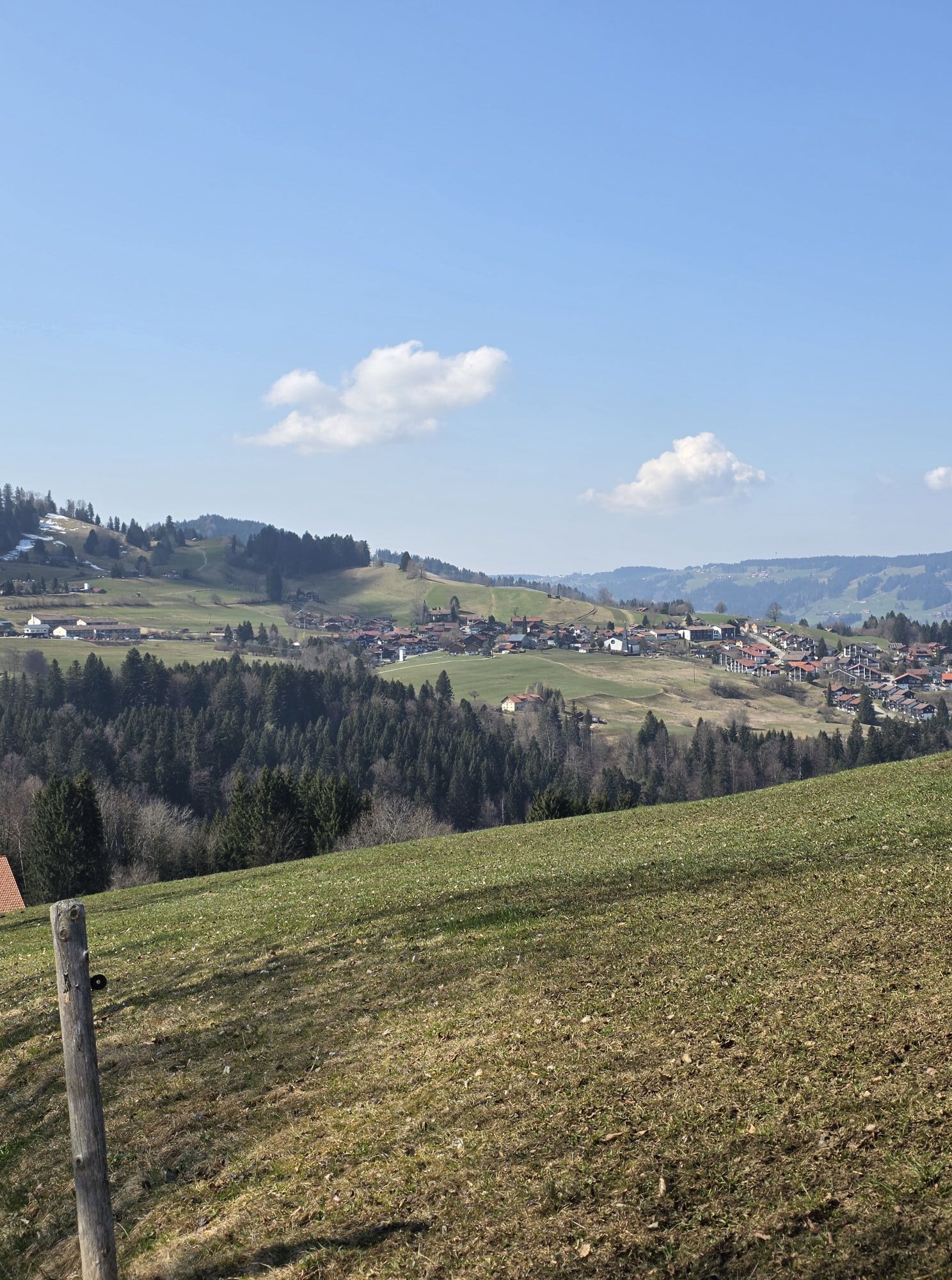
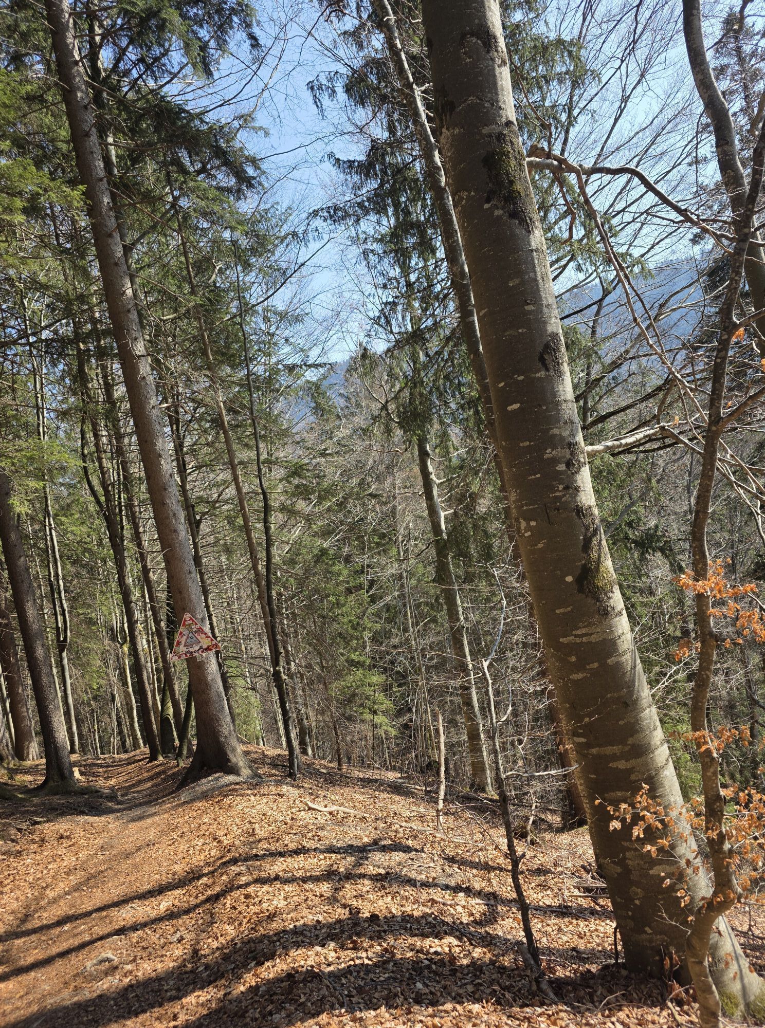
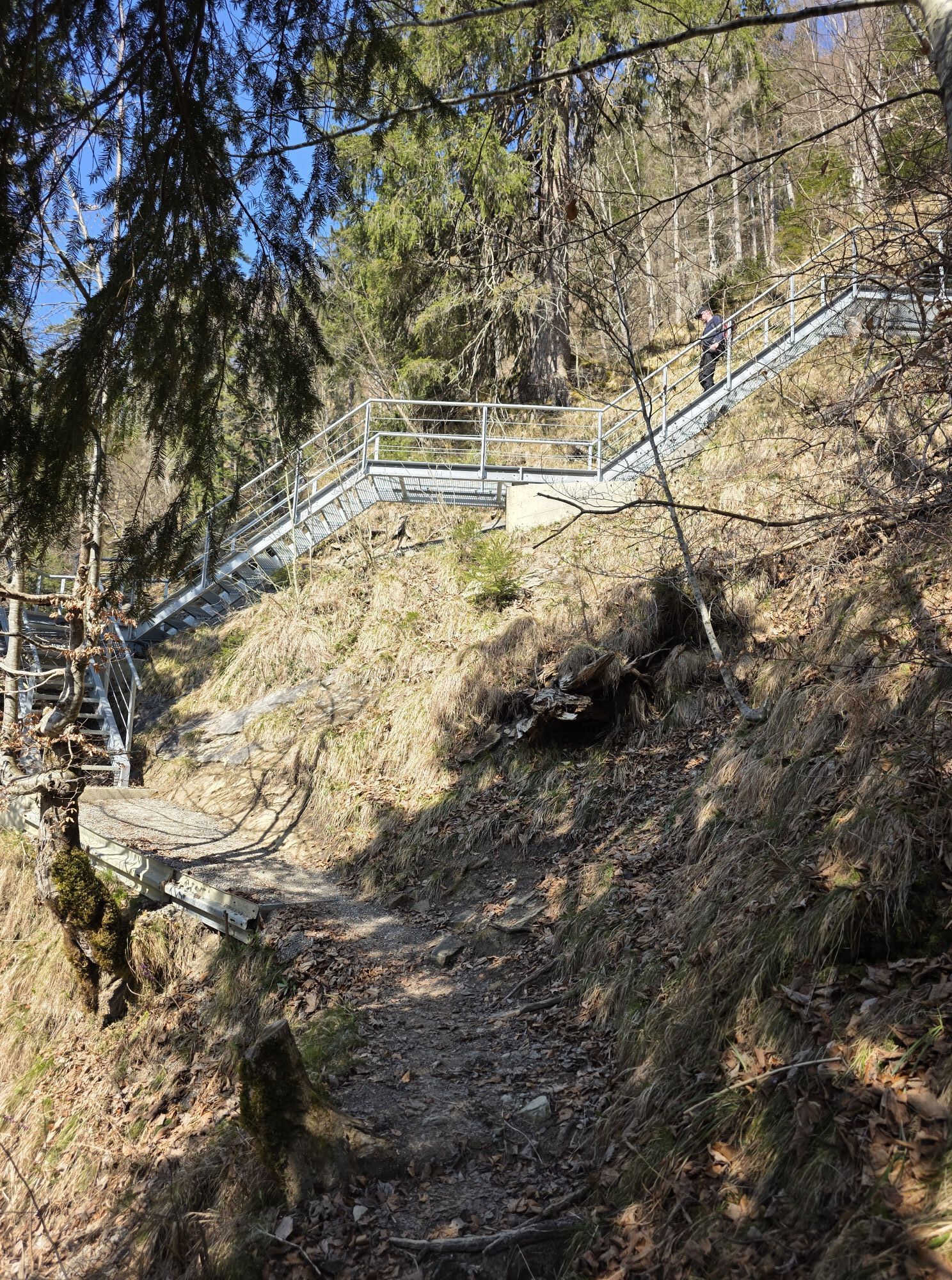
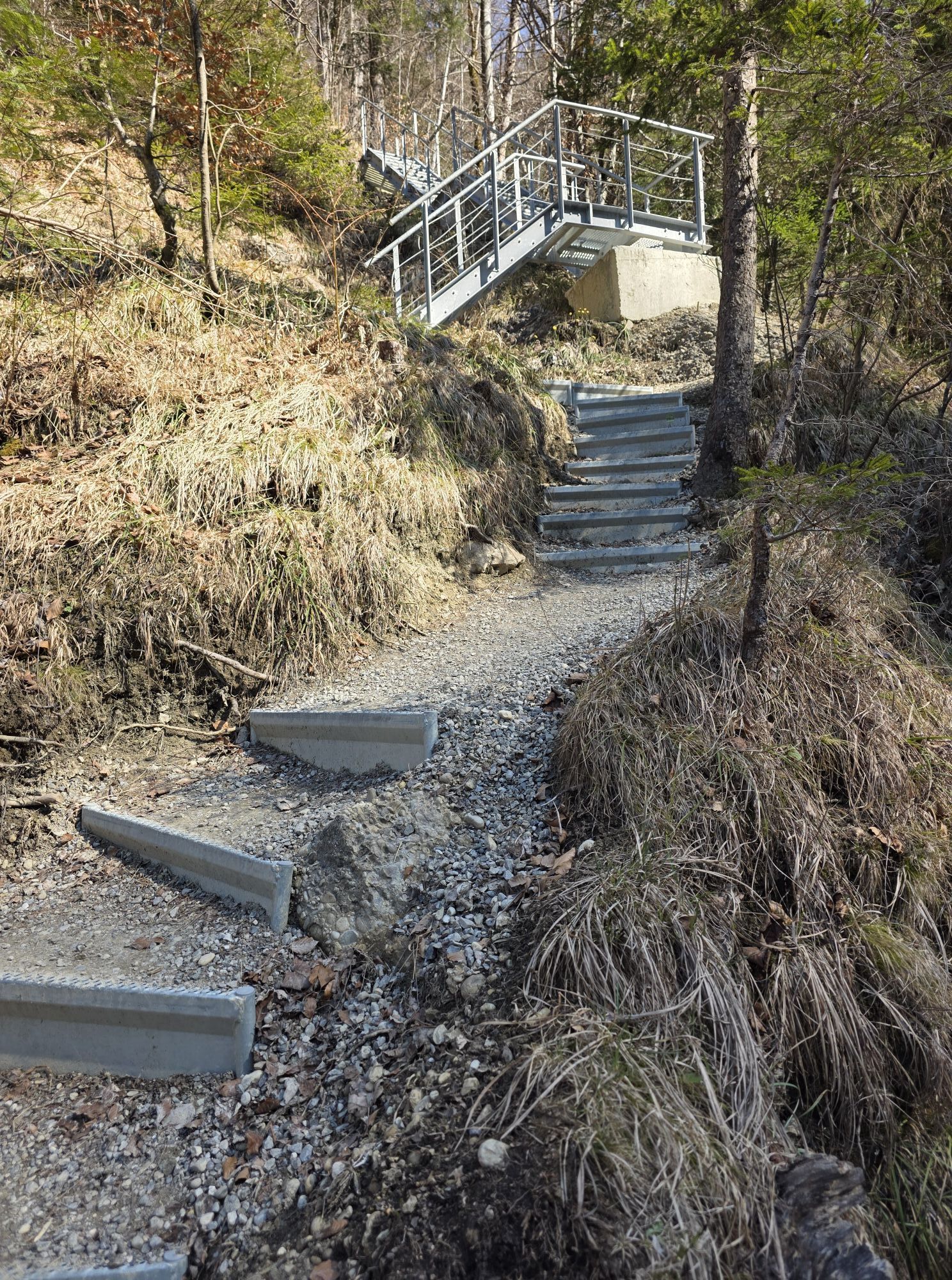
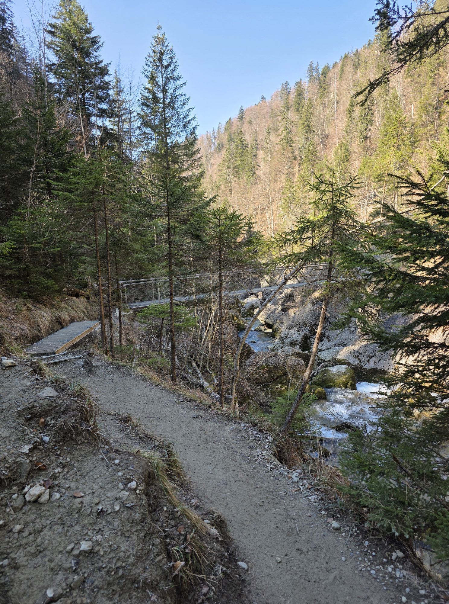
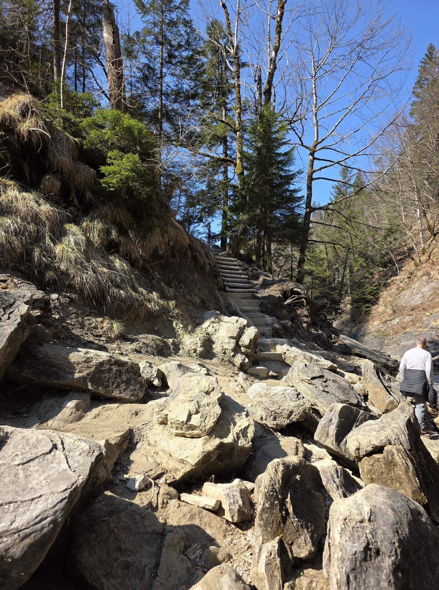
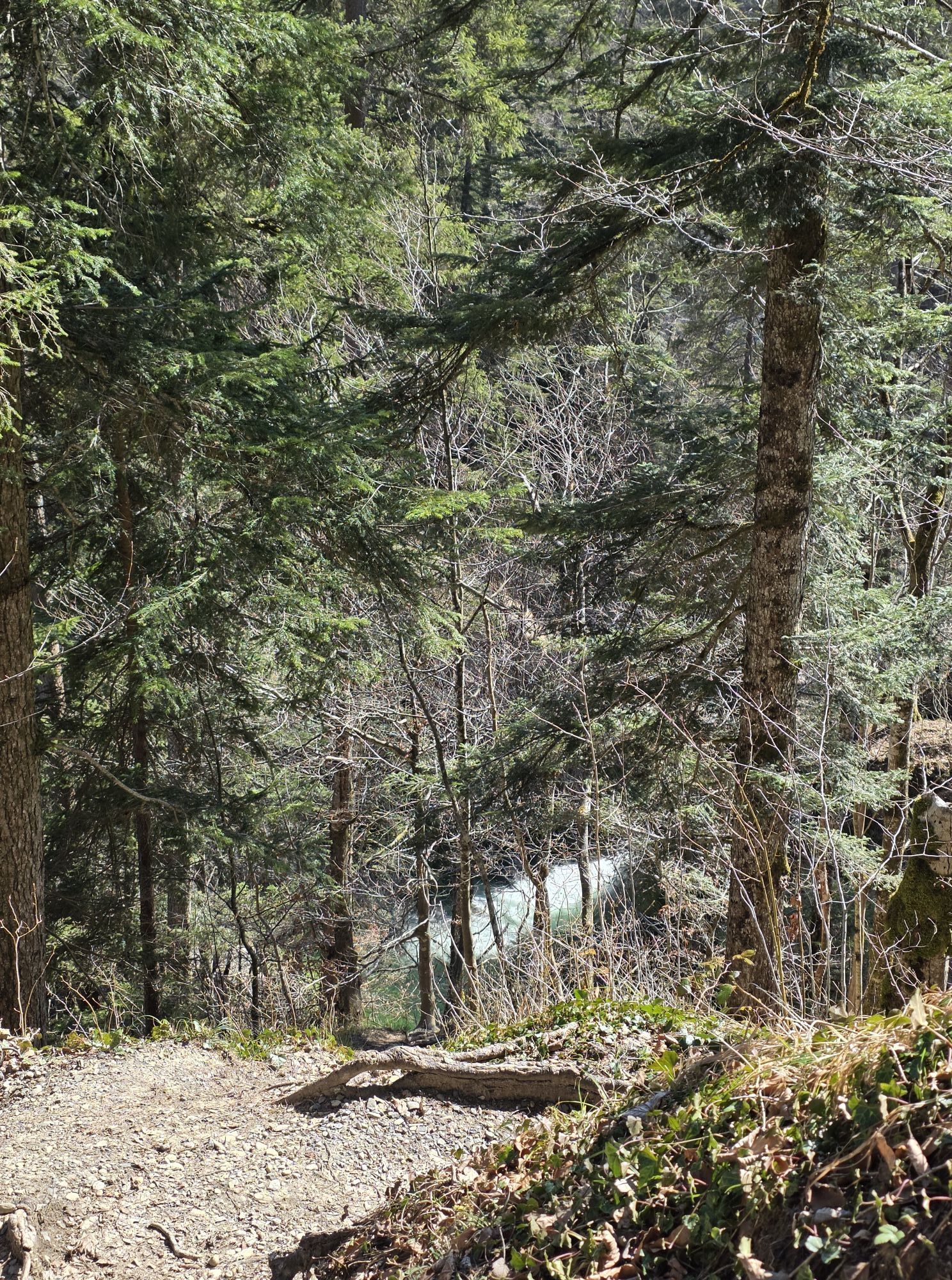
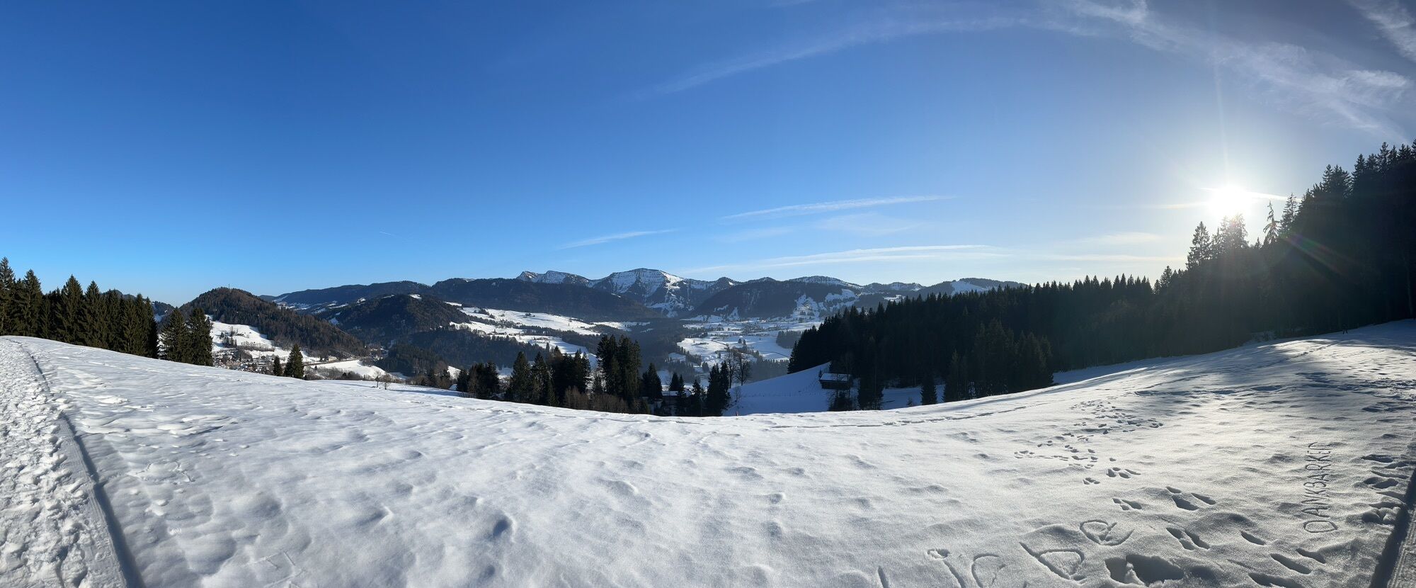
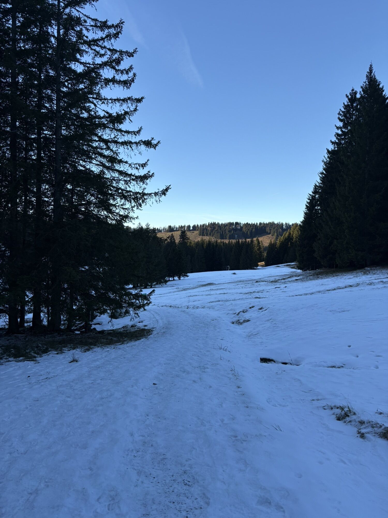
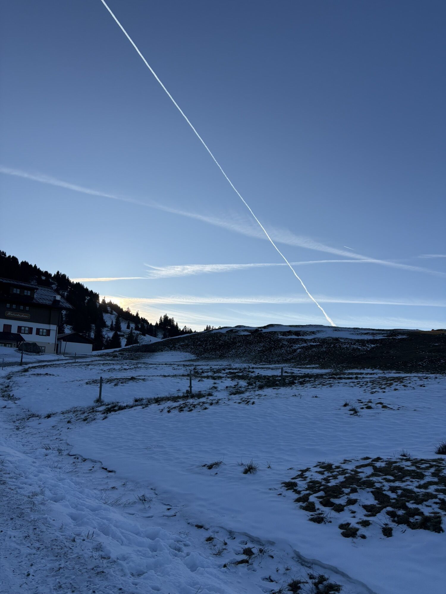
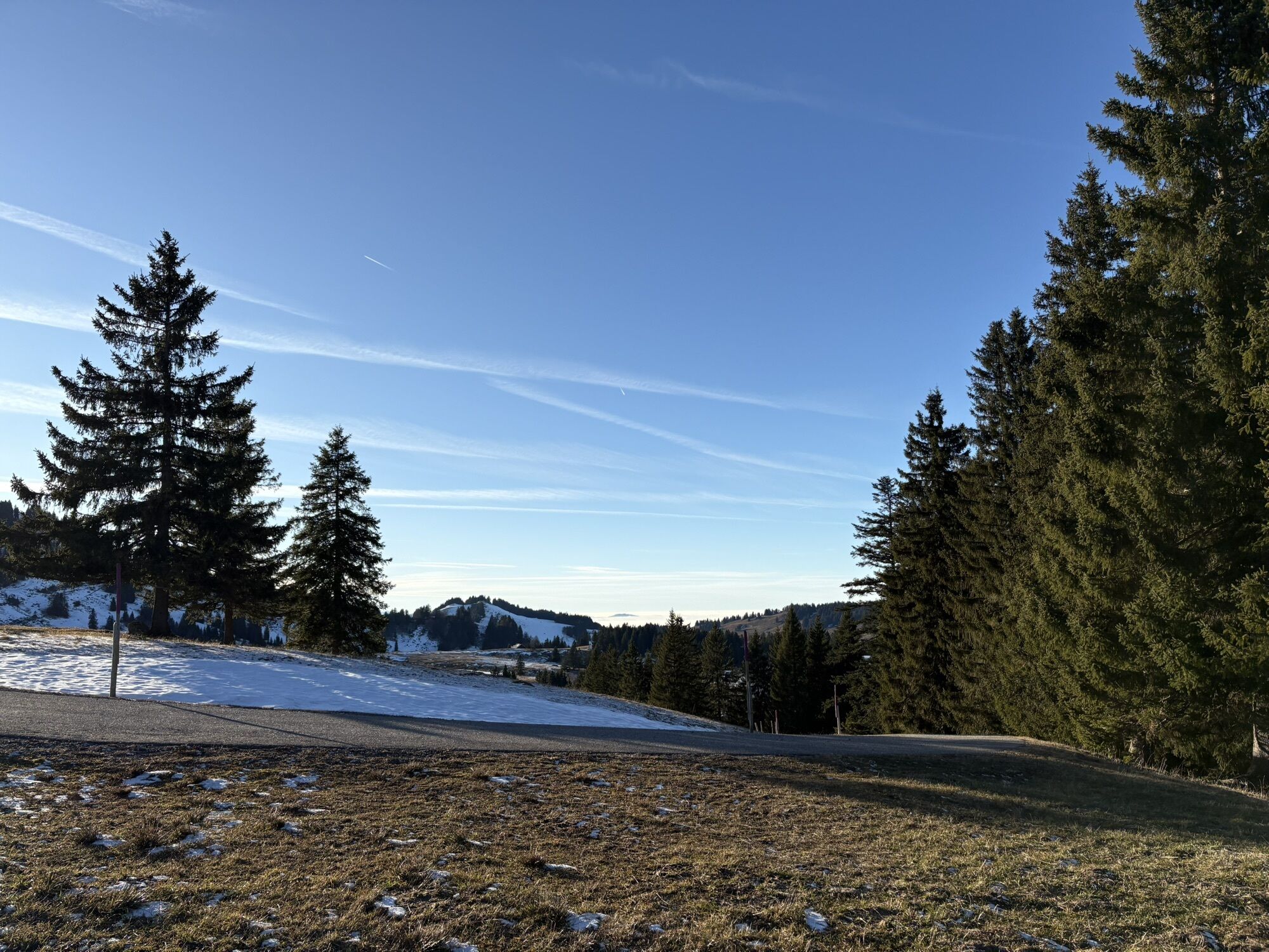
Stage 1: From Oberstaufen PARK, the route goes via Hinterstaufen, the Schwand-Alpe, and Prodel to the valley station of the Hochgratbahn.
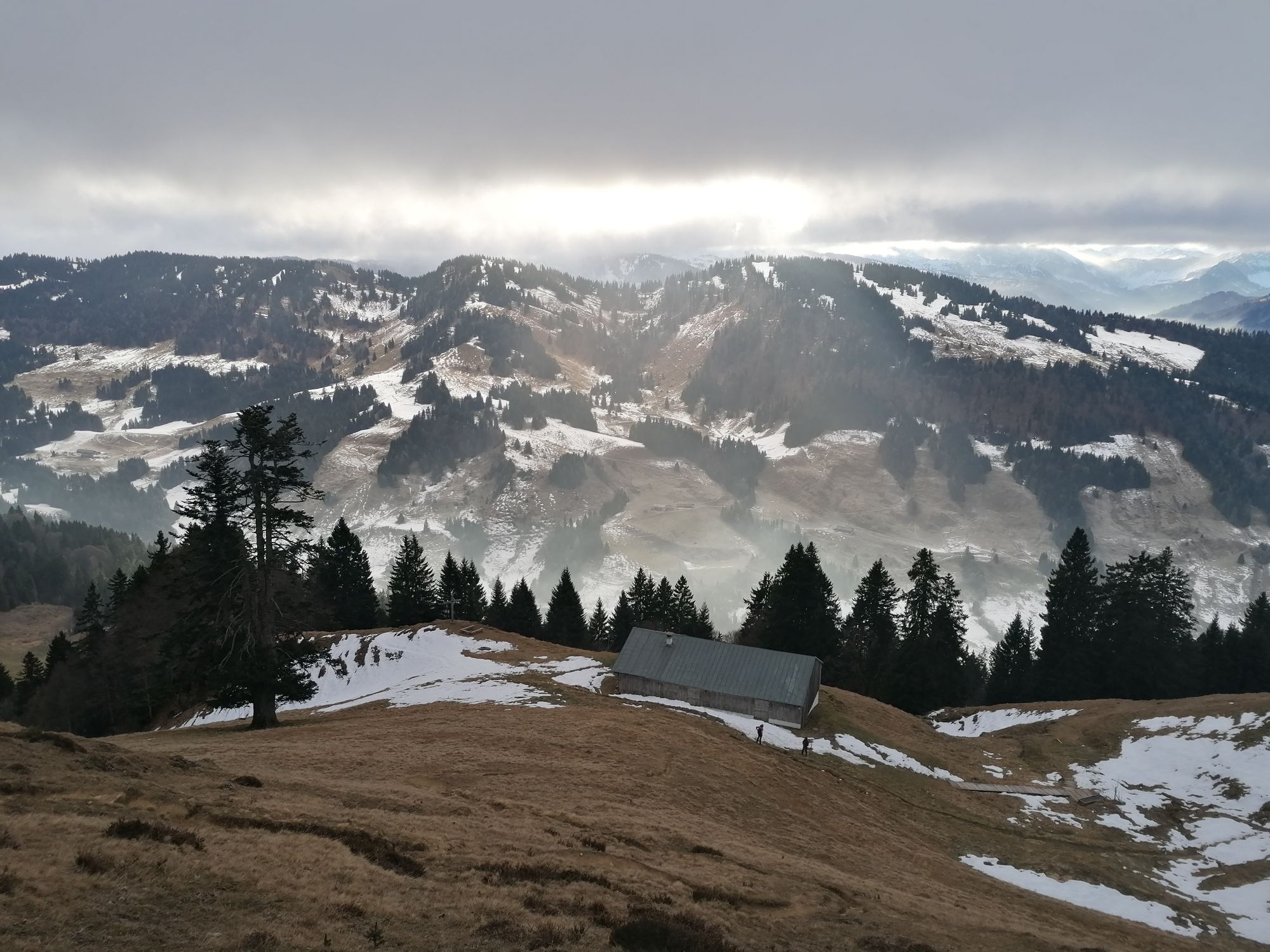
Stage 2: The route leads hikers across the extensive high plateau...
Stage 1: From Oberstaufen PARK, the route goes via Hinterstaufen, the Schwand-Alpe, and Prodel to the valley station of the Hochgratbahn.
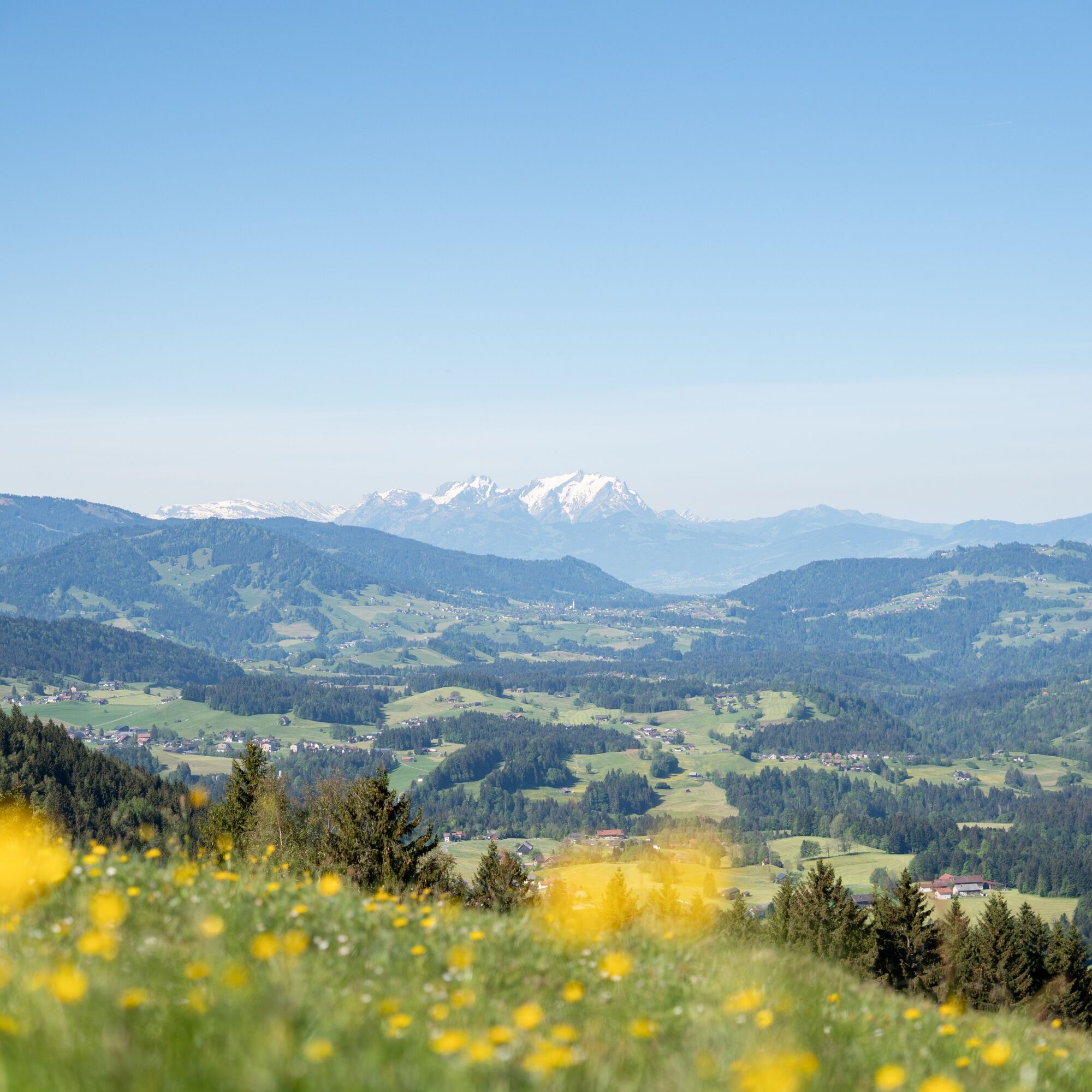
Stage 2: The route leads hikers across the extensive high plateau between Hochgrat and Imberg with a detour to the Falken, the Drei-Länderblick (three-country view) at Schindelberg, and Steibis. This is the longest and most challenging stage of the route.
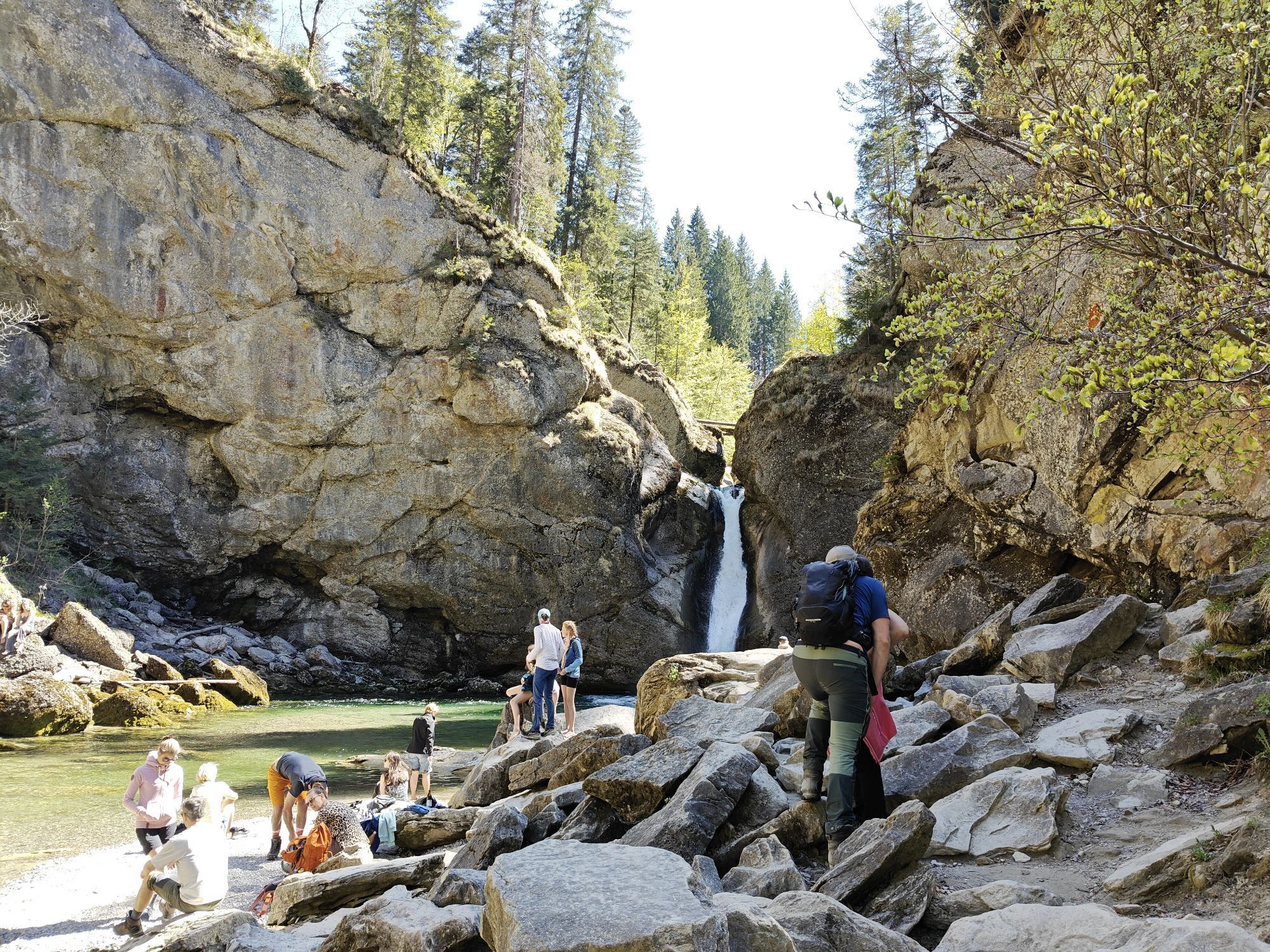
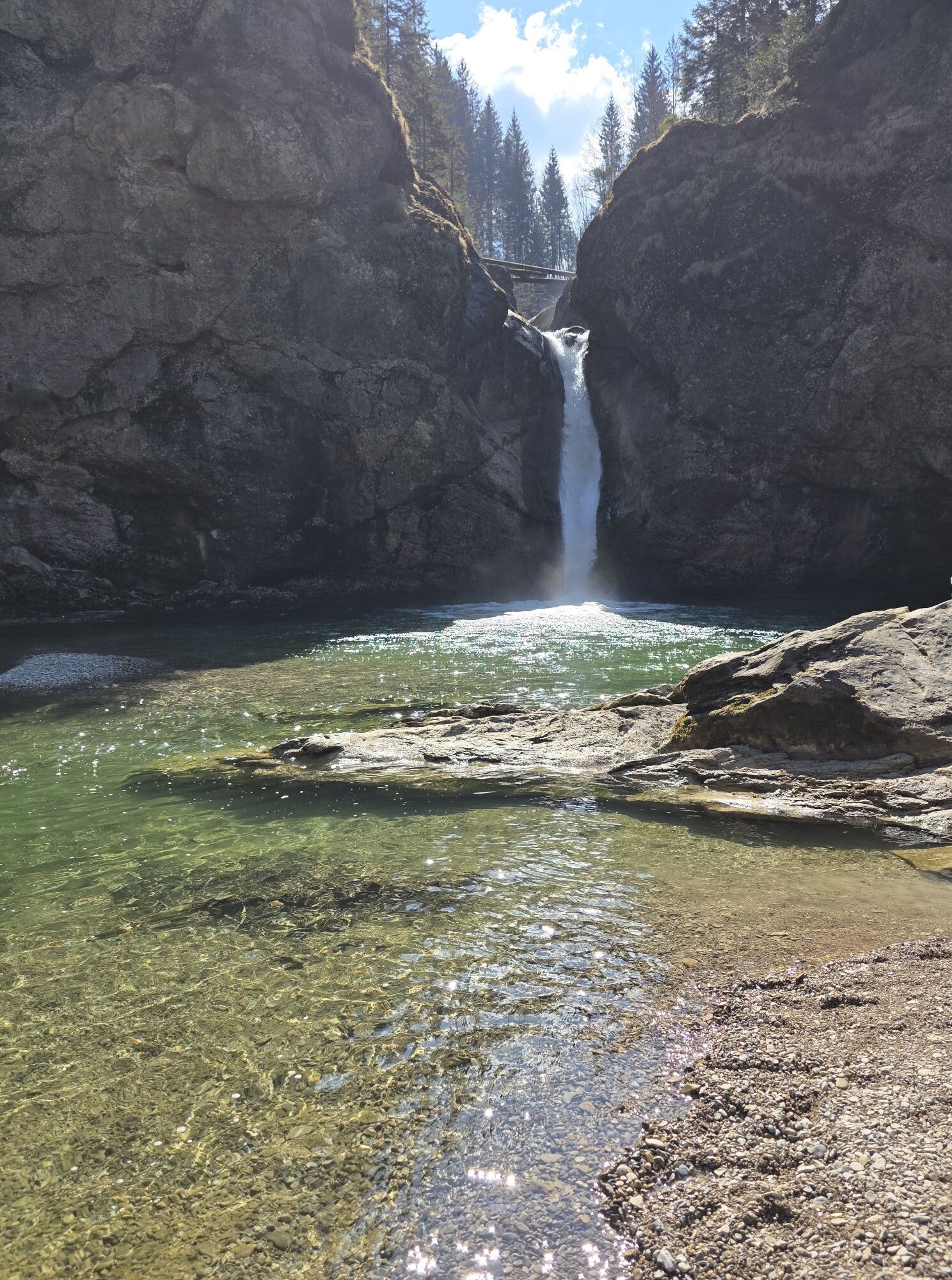
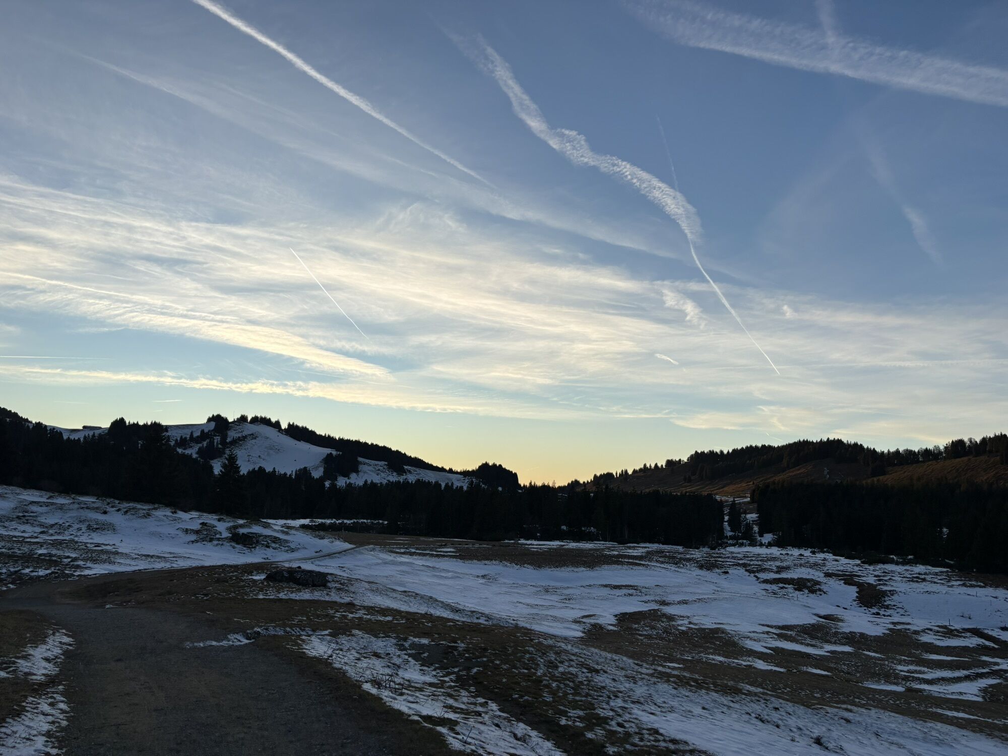
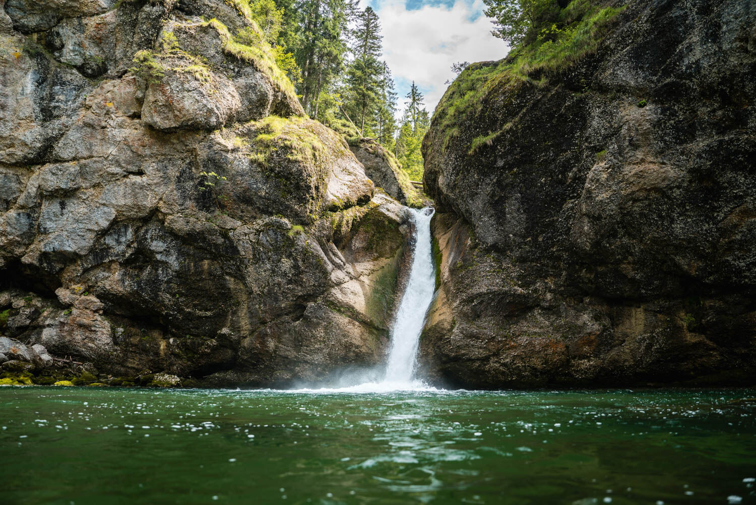
Stage 3: The third and final stage of the multi-day route starts in Steibis and leads over the Buchenegger waterfalls, Weissach, Willis, and Kapf back to Oberstaufen PARK.

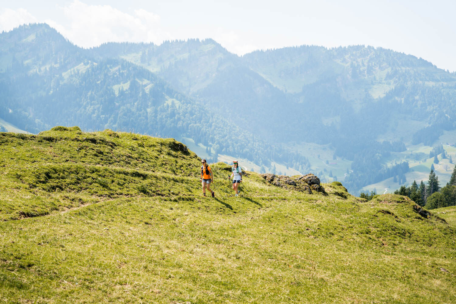
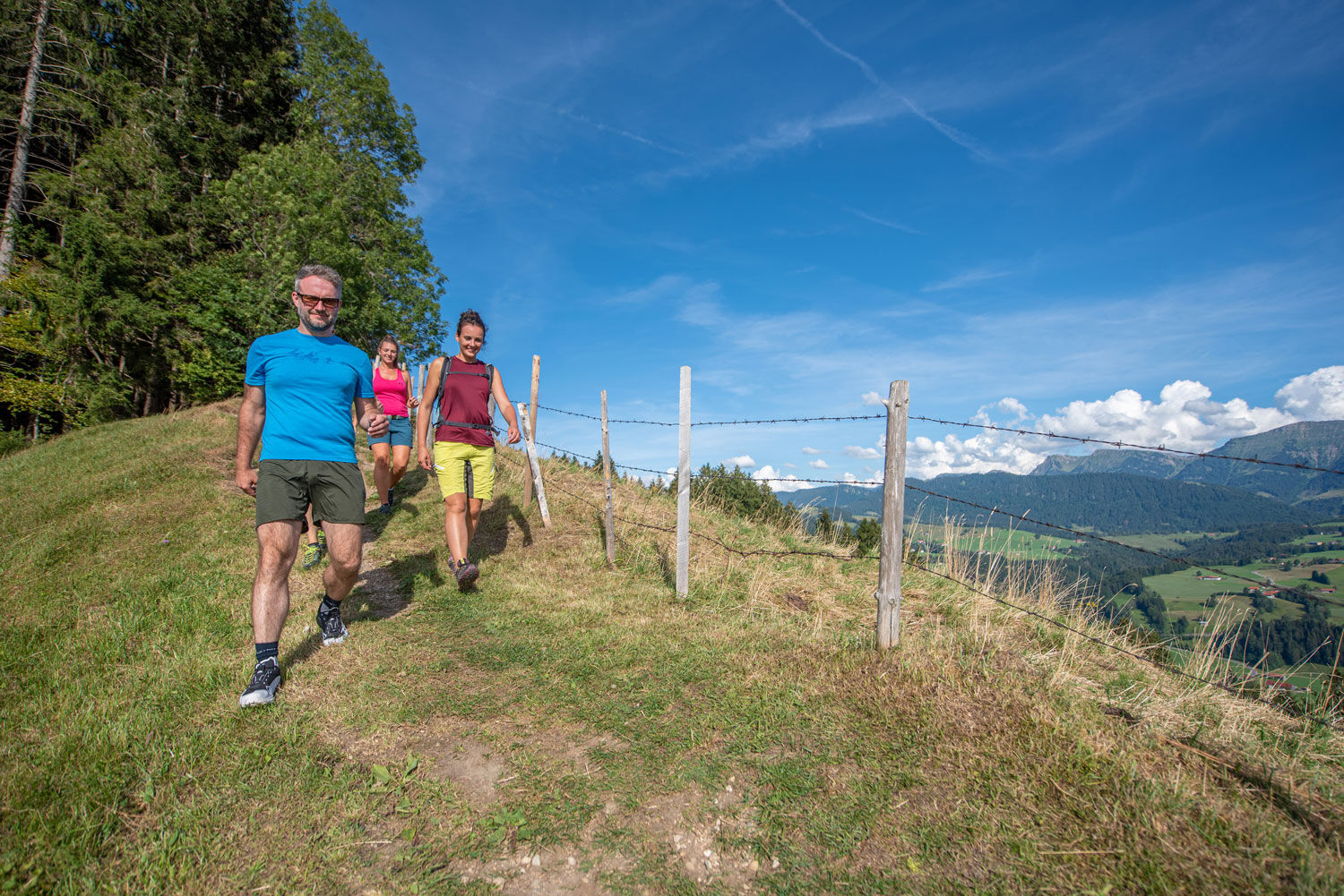
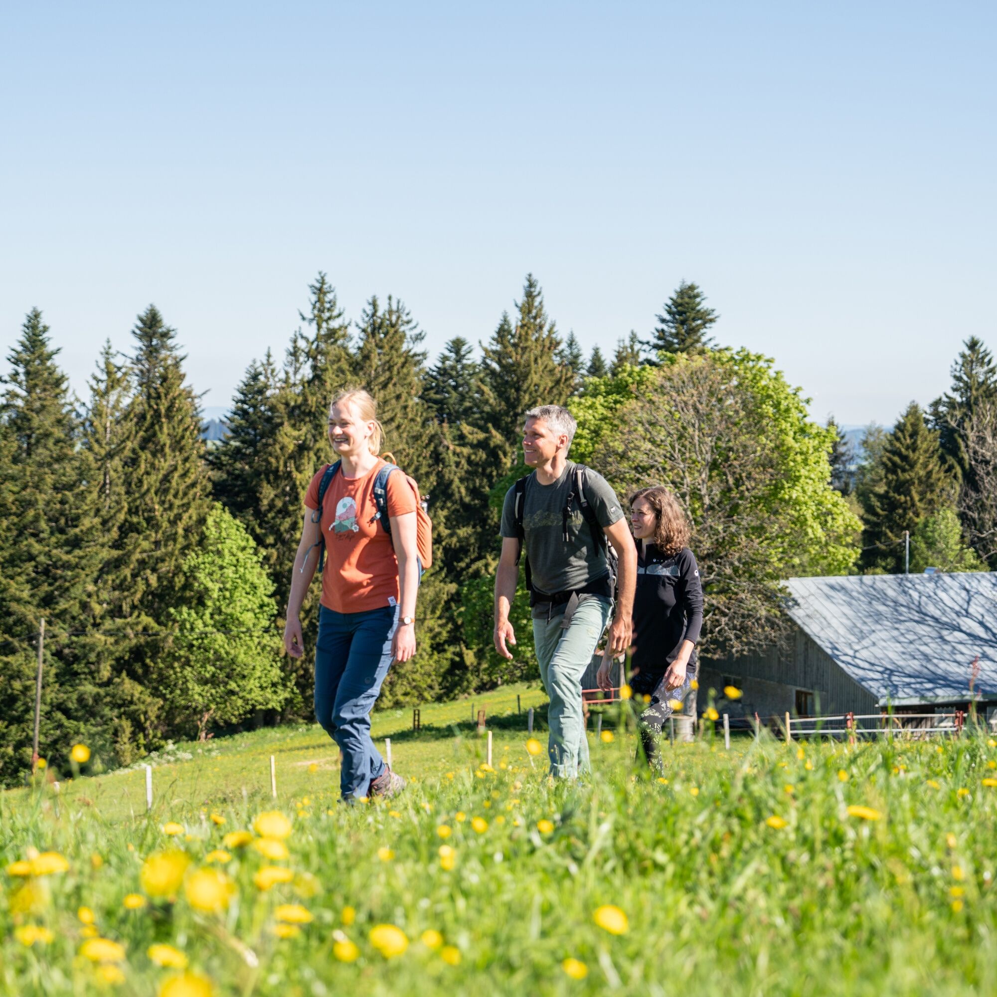

Backpack with sufficient provisions and drinks. Rain protection, a first aid kit, and ankle-high shoes are also essential.
In case of heavy rain, it is recommended not to climb the Falken on stage 2, but to stay on the road from the Falkenhütte.
If you want to walk all three stages consecutively without logistical transport challenges, the best option is Bus 95:
Stage 1: Start at Oberstaufen PARK - no transport necessary. End at the valley station of the Hochgratbahn - Bus 95
Stage 2: Start at the valley station of the Hochgratbahn - Bus 95. End in Steibis town center - Bus 95
Stage 3: Start in Steibis town center - Bus 95. End at Oberstaufen PARK - no transport necessary
Arrival by regional train to Oberstaufen station: www.oberstaufen.de/bus-parken
Parking options are available in town. Overview of all public transport and parking options: www.oberstaufen.de/bus-parken
T3
Enjoy the Allgäu cuisine in one of the numerous alpine huts along the way.
Webové kamery z prehliadky
-
Hochlitten Riefensberg / Bregenzerwald
-
Hochgratbahn Bergstation
-
Oberstaufen
-
Skilifte Sinswang
-
Oberstaufen - Biohotel Schratt
-
Oberstaufen - Biohotel Schratt
-
Hittisau
-
Oberstaufen
-
Alpe Hohenschwand
-
Oberstaufen - Rosenalp
-
Hündlebahn Bergstation
-
Imberghaus
-
Oberstaufen - Hörmoos
-
Alpsee Bergwelt
-
Alpsee Bergwelt
-
Alpsee Bergwelt - Bärenfalle
-
Alpenarena Hochhäderich

Obľúbené výlety v okolí
-
4,6
Steibis - Buchenegger Waterfalls
strednáTuristika 6,47 km -
4,5
Hittisau | Wasserwanderweg
svetloTematická trasa 7 km -
4,7
Rindalphorn und Hochgrat
strednáTuristika 15,6 km -
5,0
Nagelfluh ridge route Hochgrat - Mittag
ťažkéTuristika 14,0 km -
4,9
Immenstädter Horn
svetloTuristika 9,35 km -
4,1
Circular route Hündle to the Buchenegger Waterfalls
strednáTuristika 9,69 km -
4,7
Grosser-Alpsee-Rundweg-11-km
svetloTuristika 10,9 km -
4,5
Hittisau | Rundwanderung von Hittisau zum Hochhäderich
strednáTuristika 9,22 km -
4,5
Immenstädter Horn - Gschwender Horn
svetloTuristika 10 km -
4,4
Circular route Steibis to Dreiländerblick
strednáTuristika 7,95 km
Turistika a stopovanie


Nenechajte si ujsť ponuky a inšpiráciu na ďalšiu dovolenku
Vaša e-mailová adresa bol pridaný do poštového zoznamu.





