







On the Immenstädter Horn

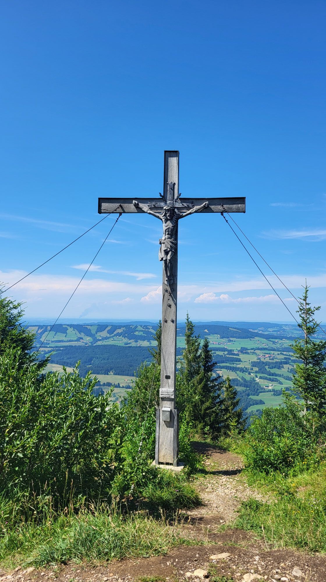
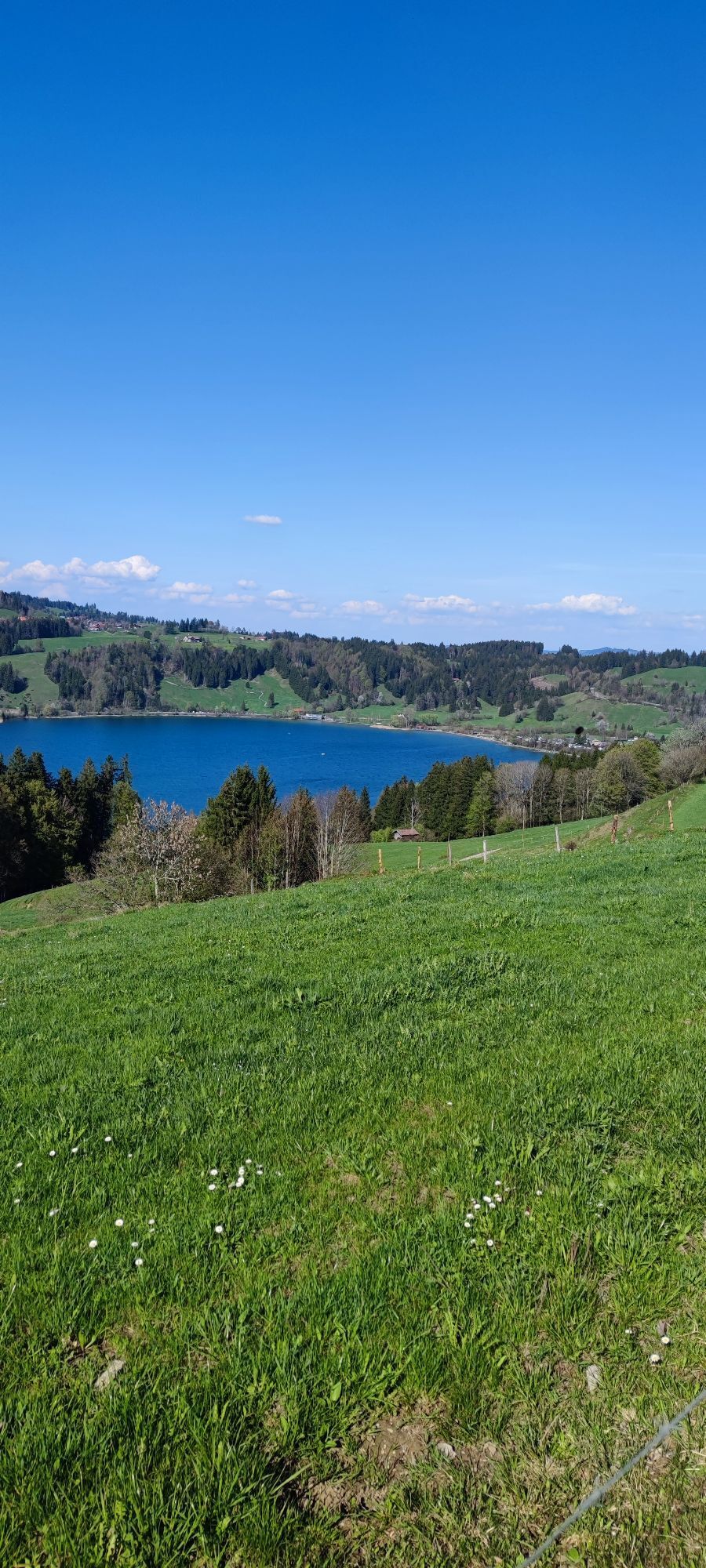

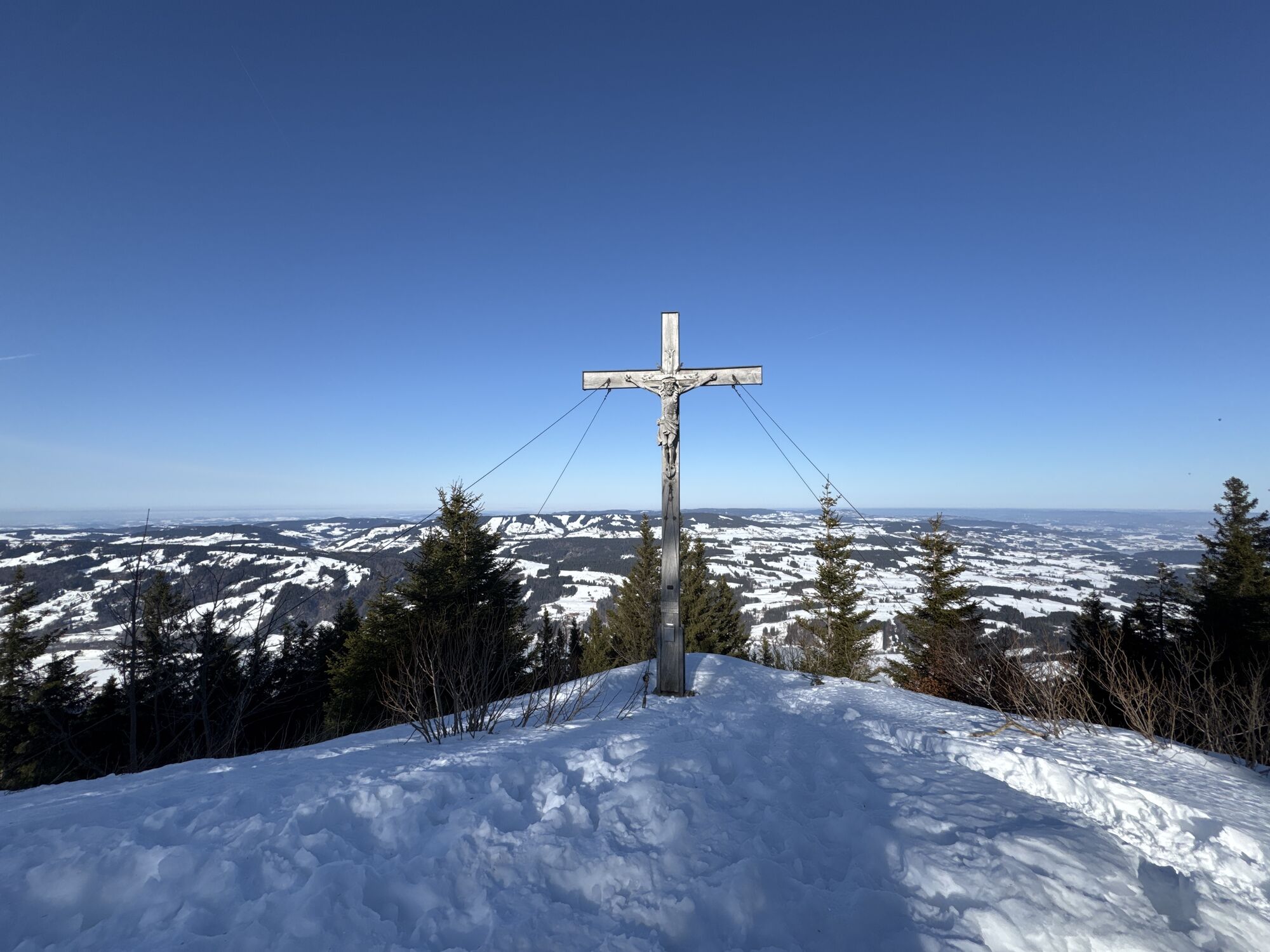

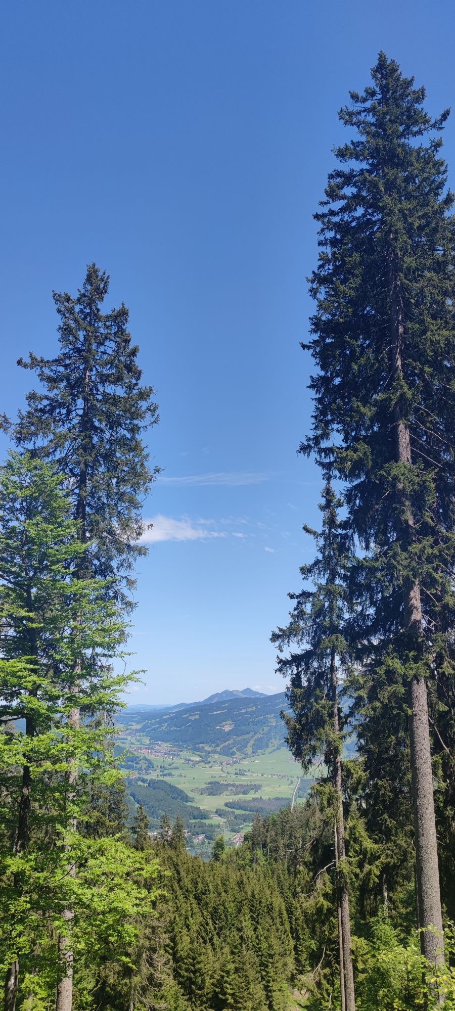
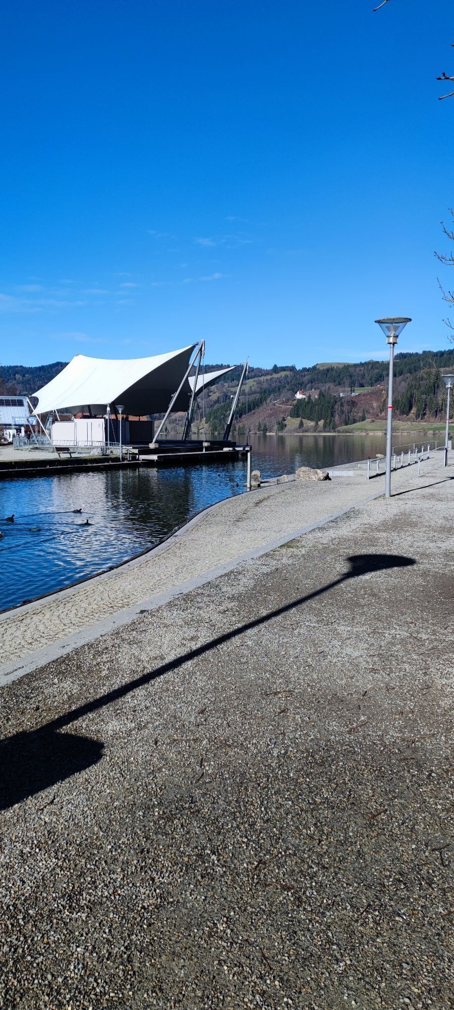
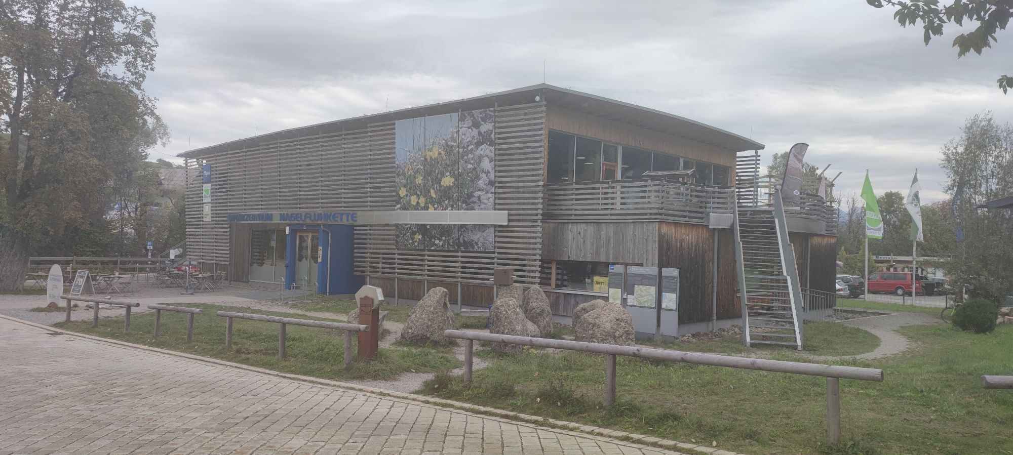
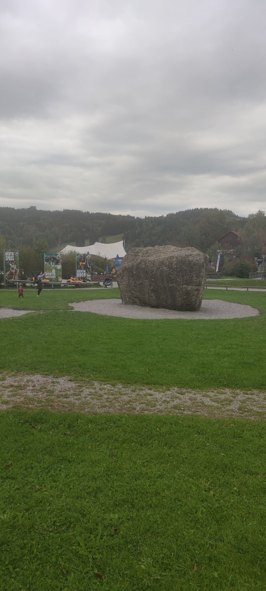
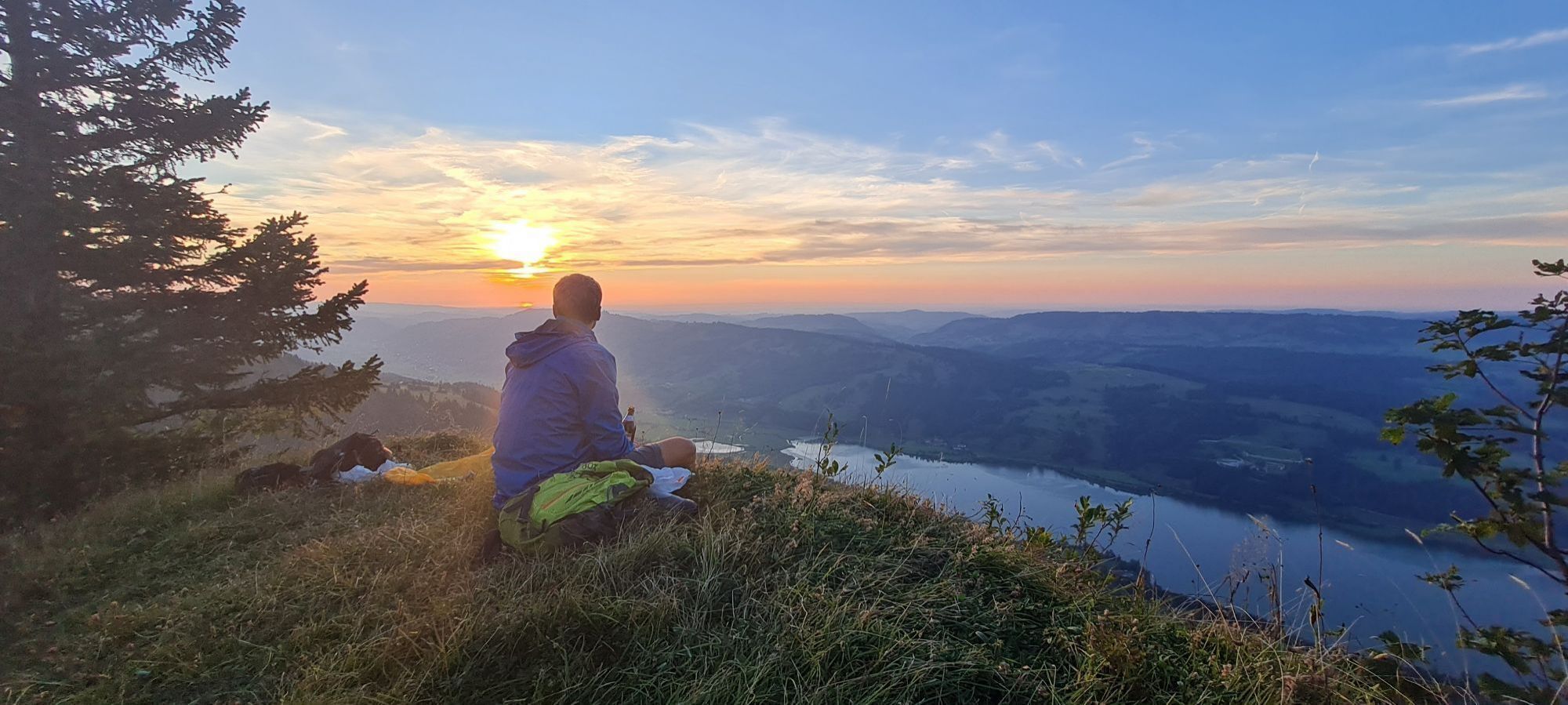
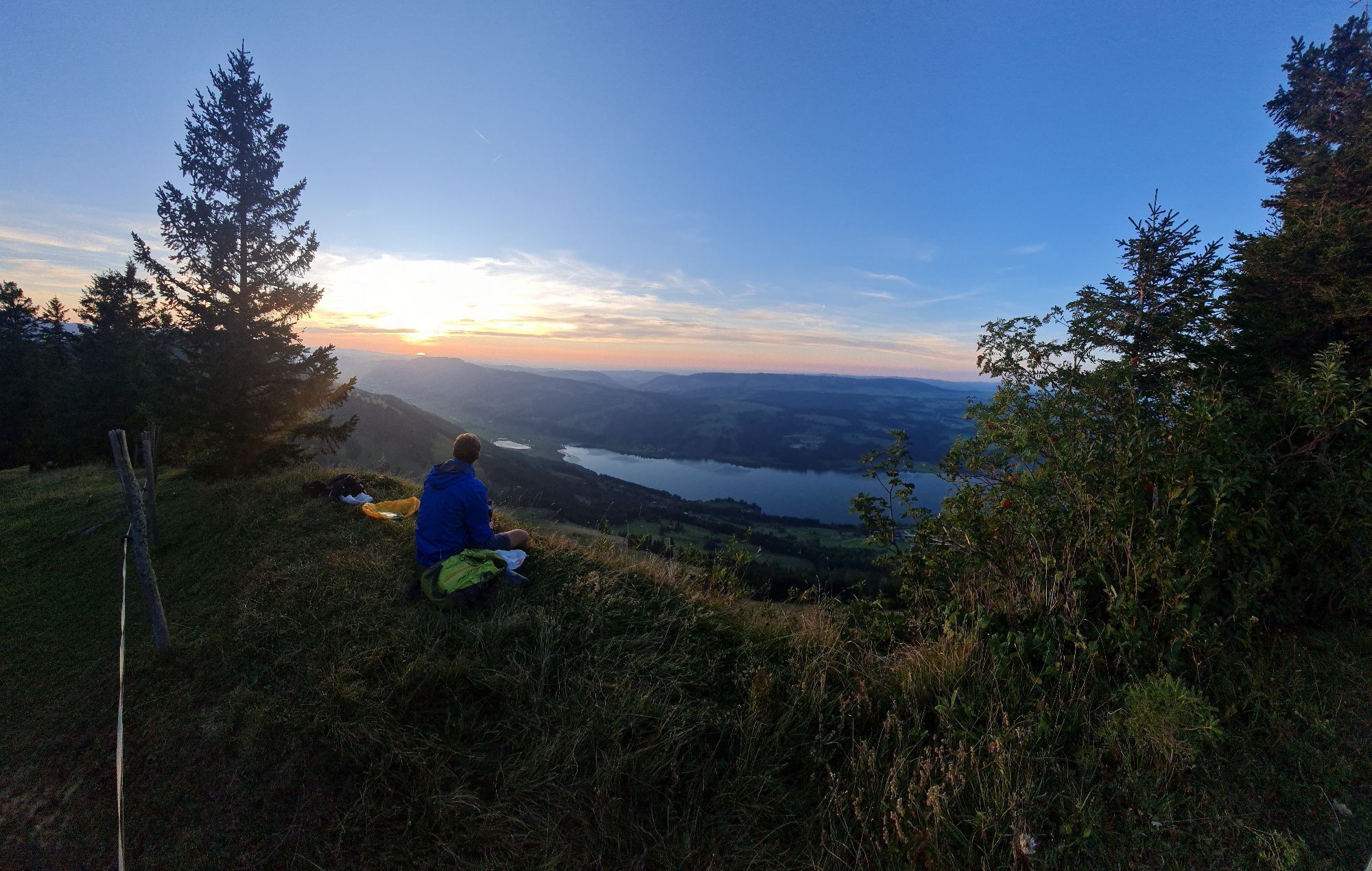
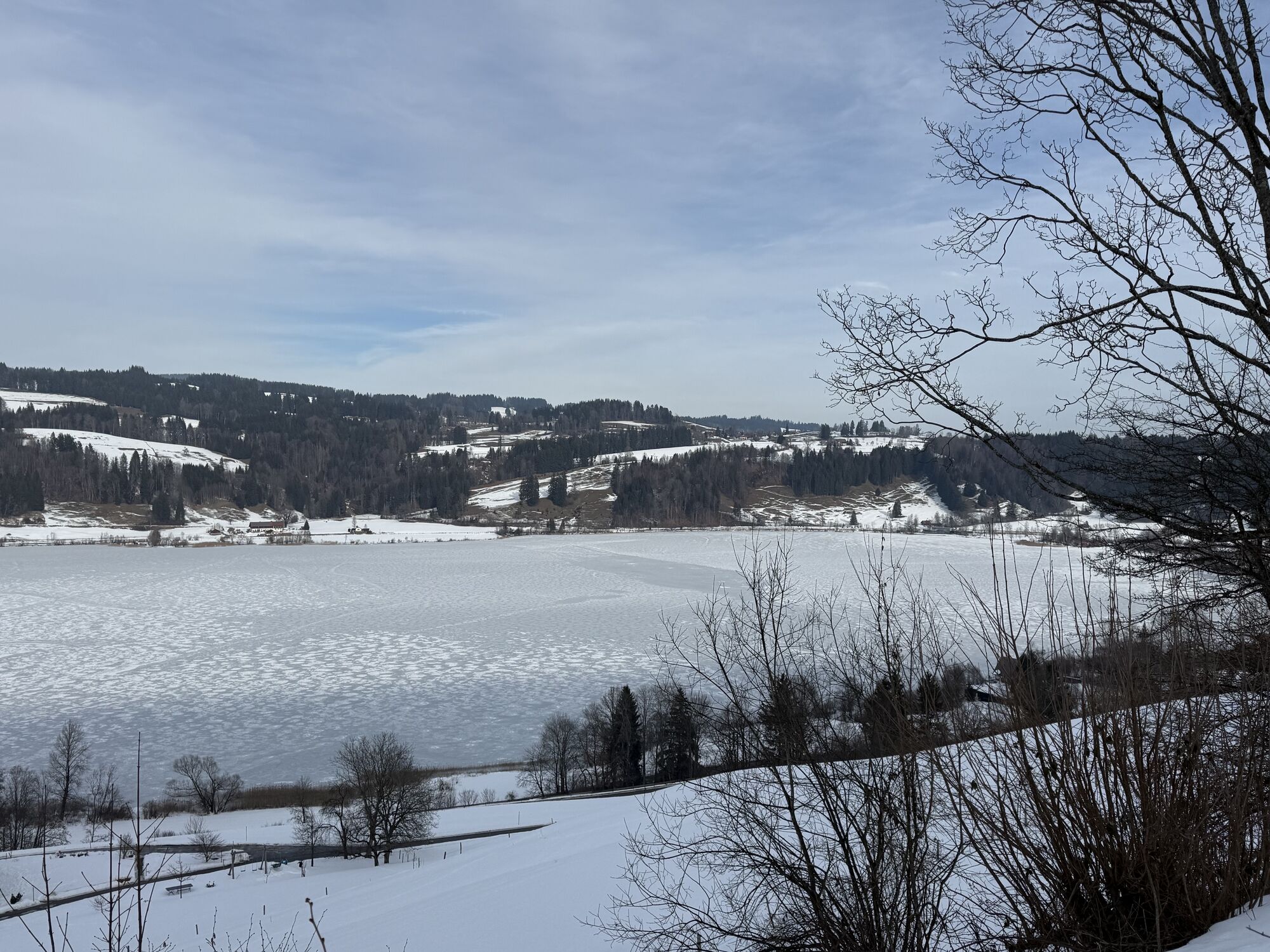
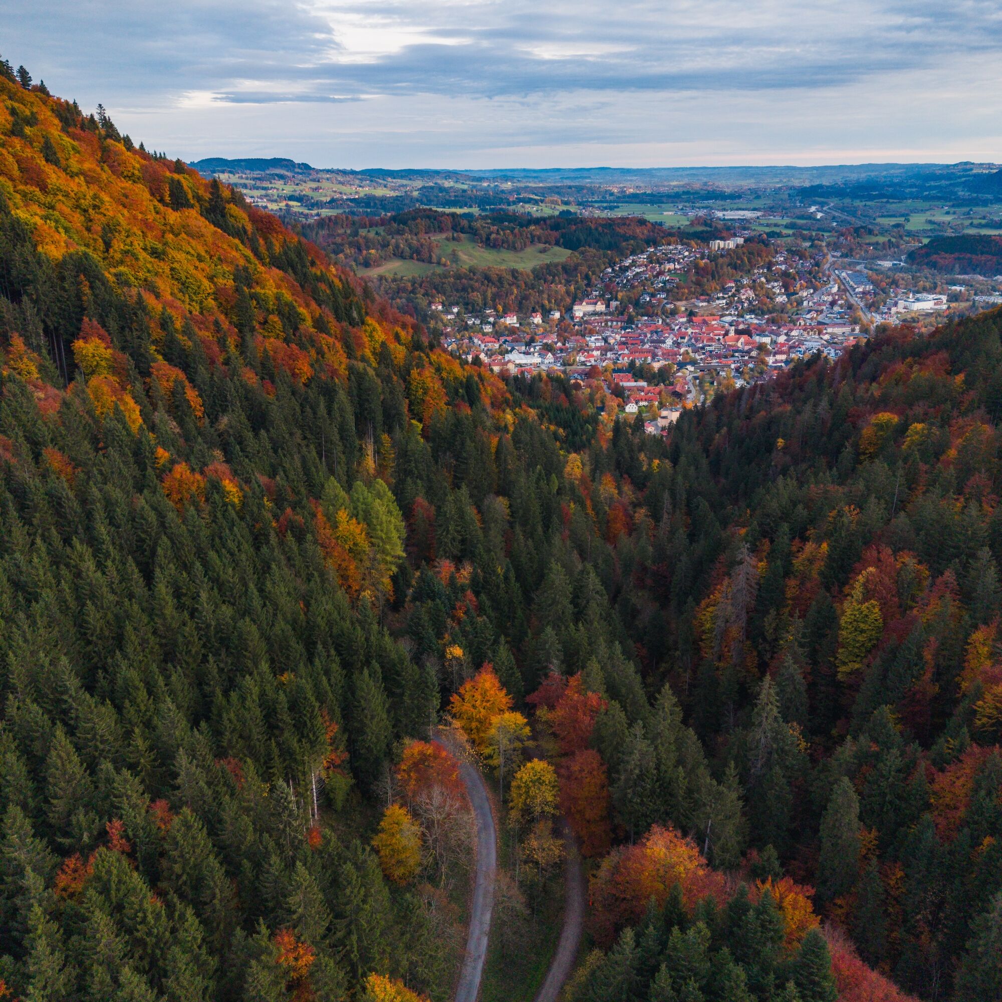
The starting point for this panoramic tour is the cemetery or the foot of the local mountains Mittag and Immenstädter Horn. First, a steeply ascending, asphalted road leads in the direction of "Immenstädter...
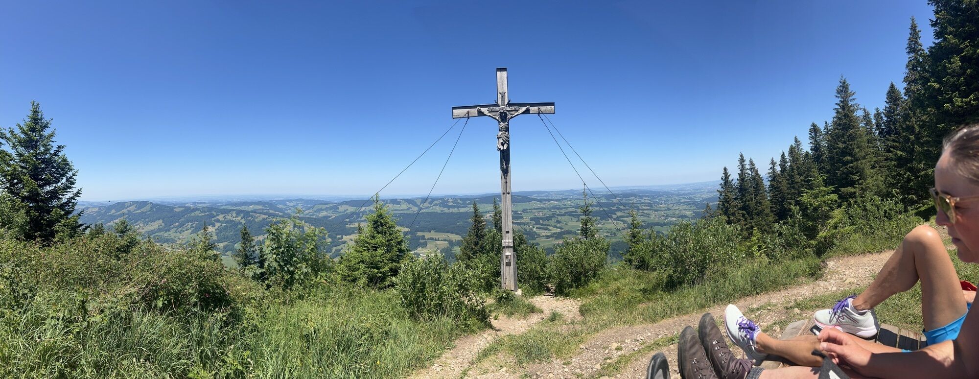
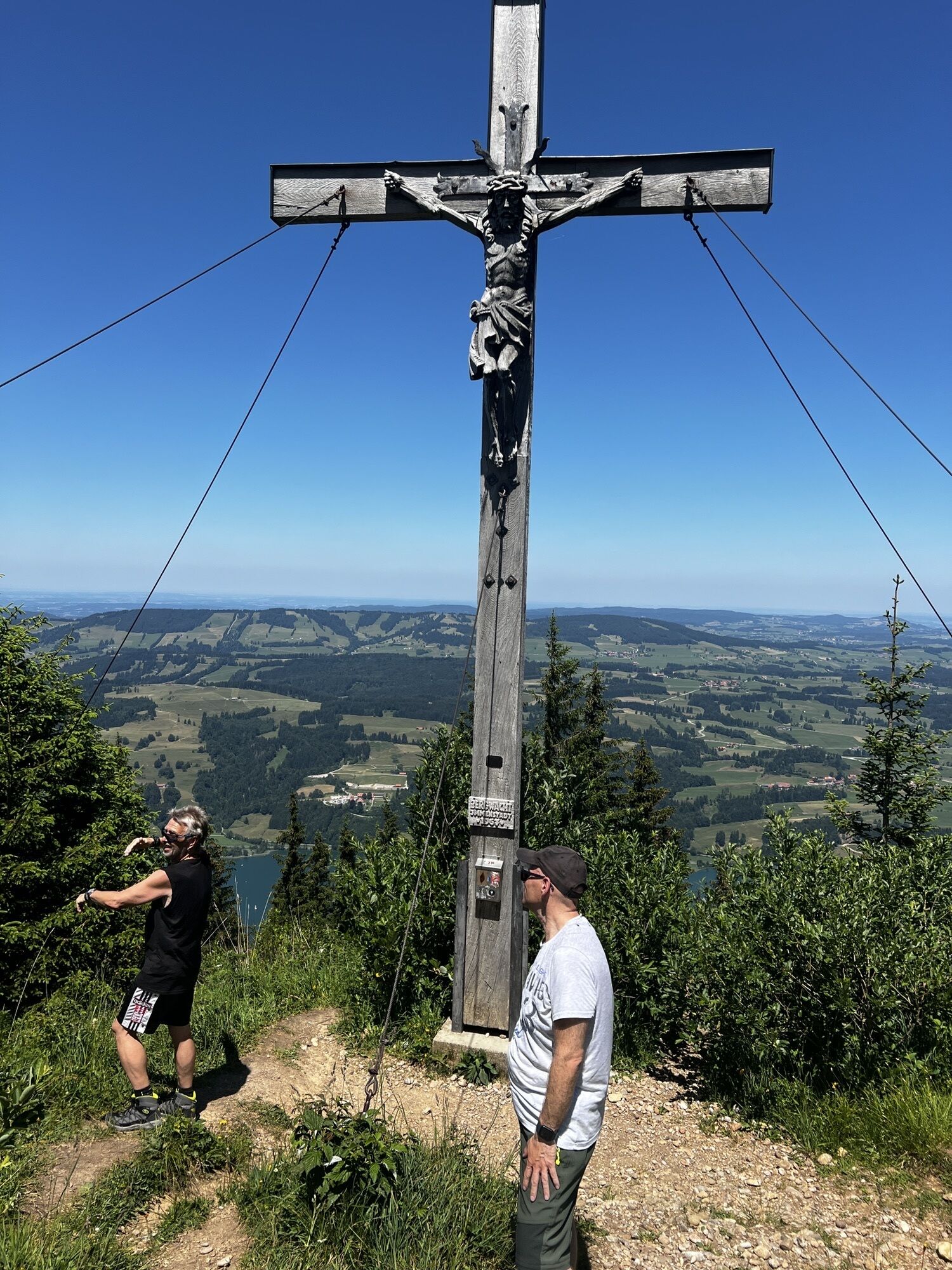
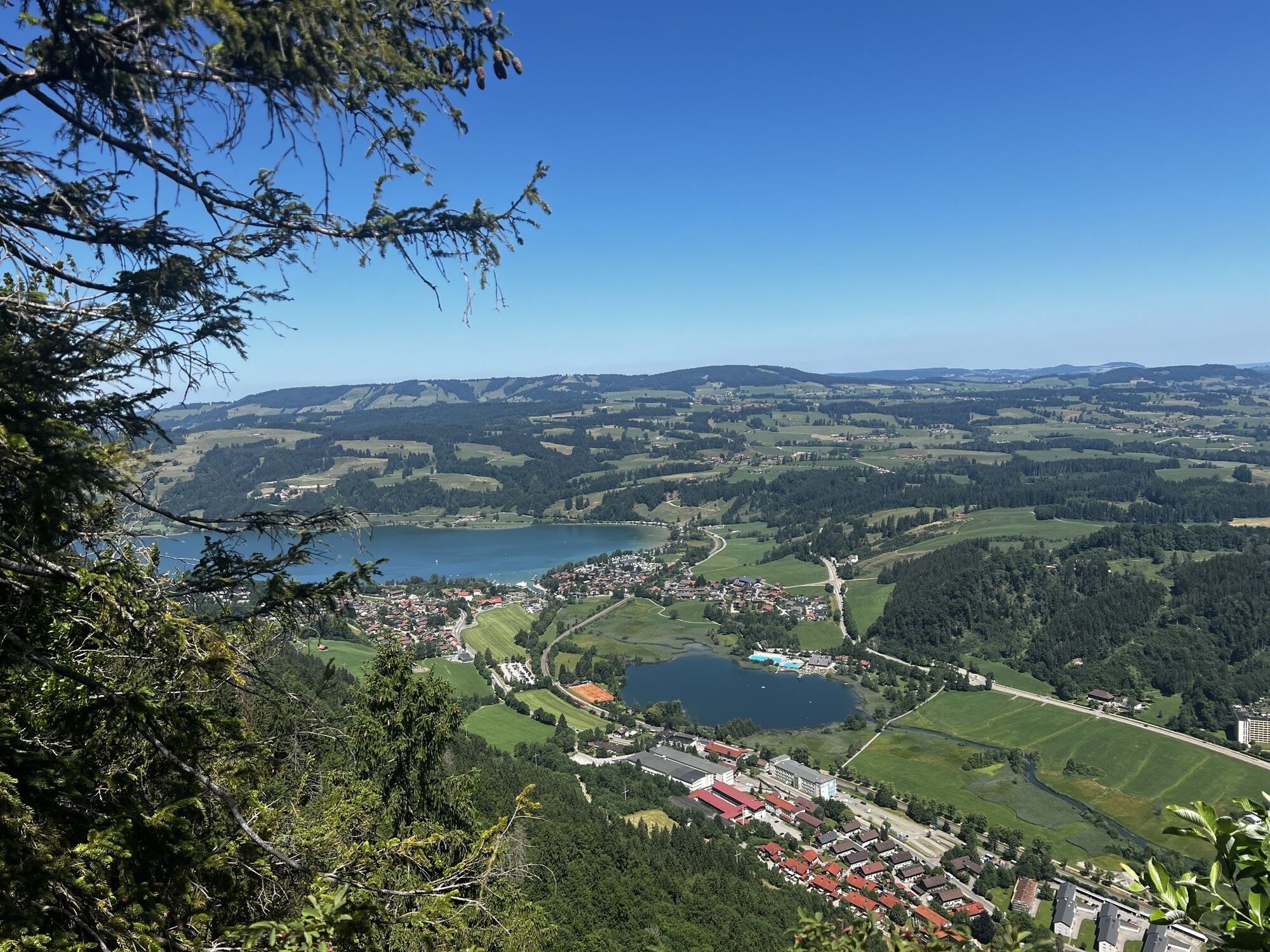
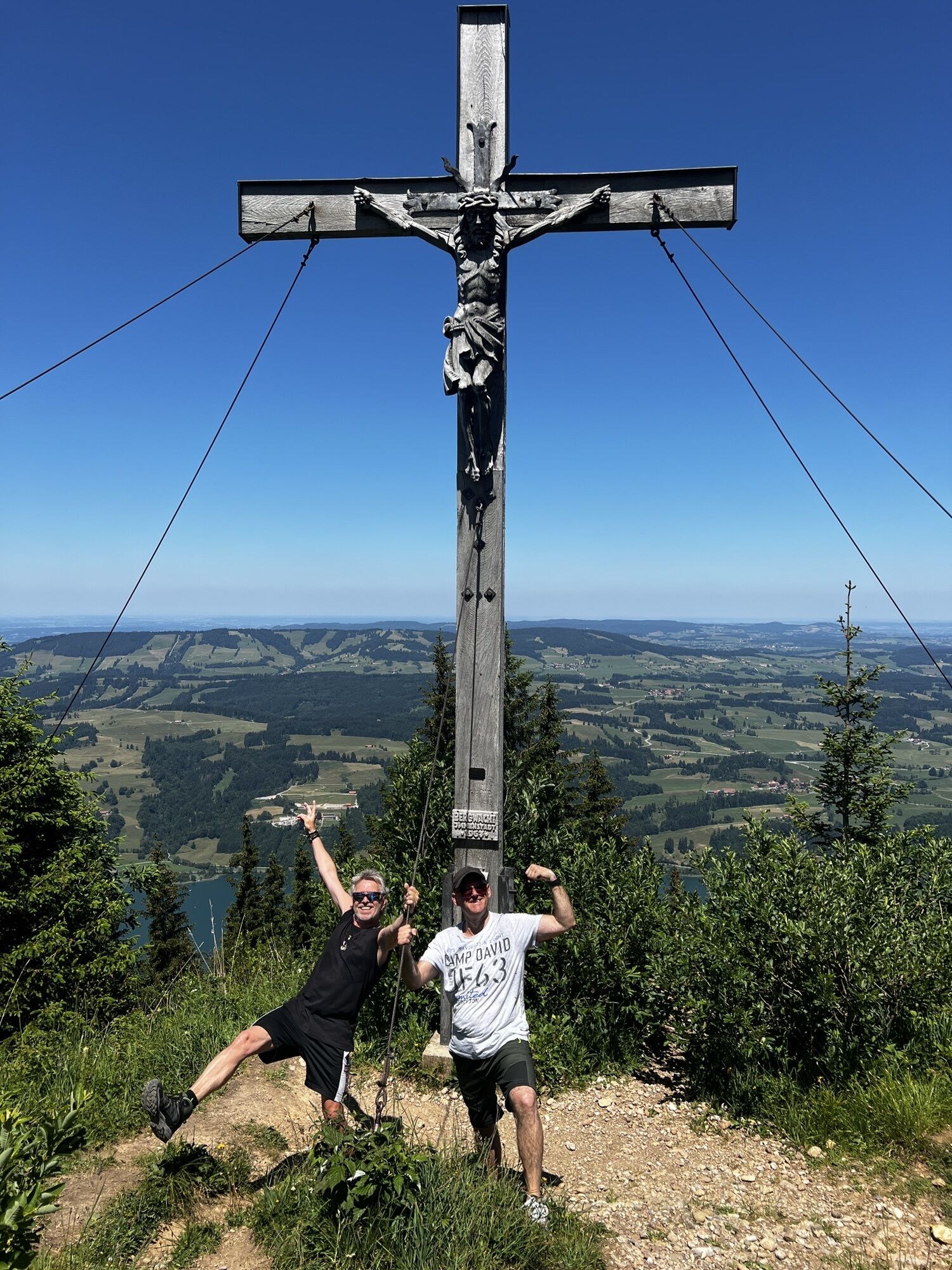
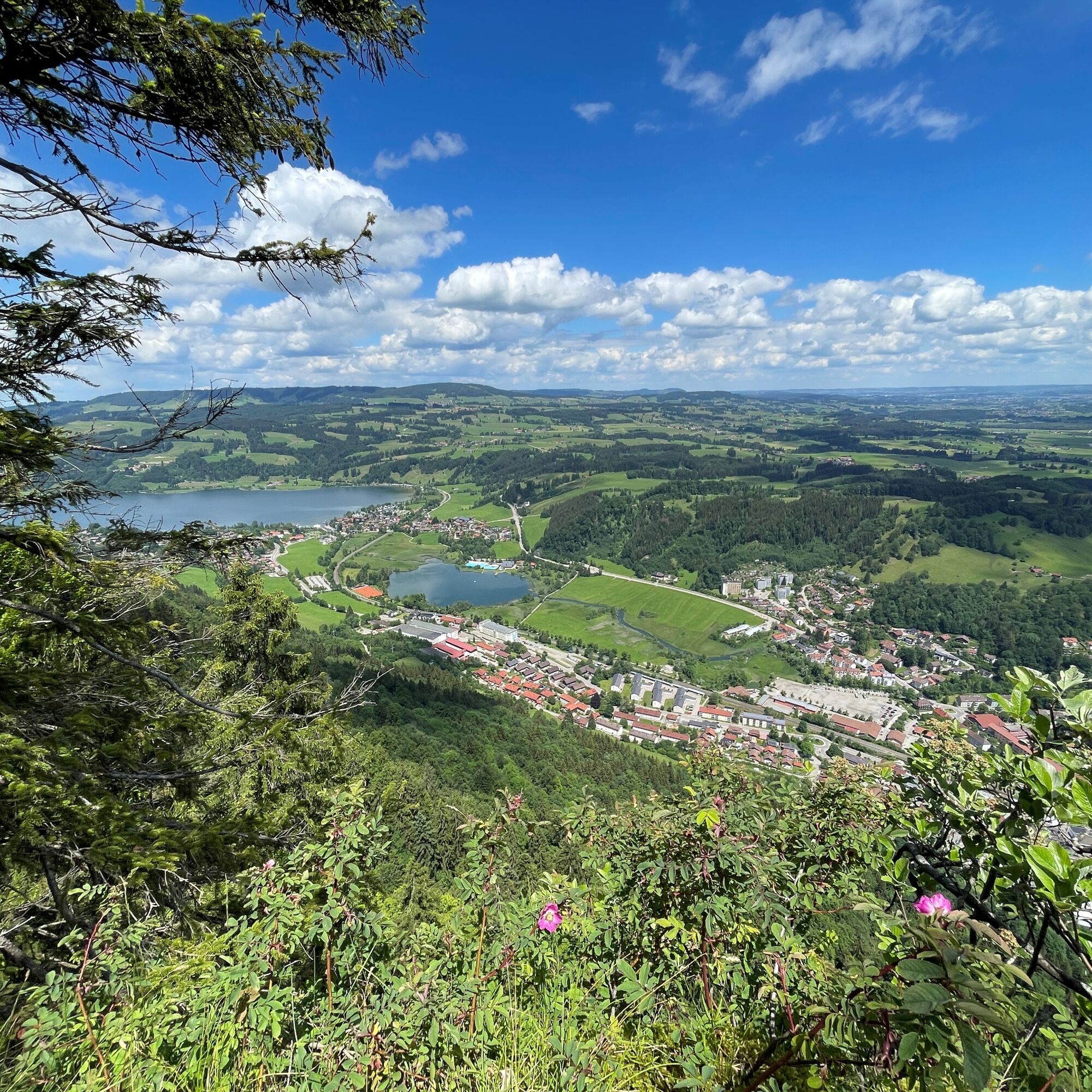
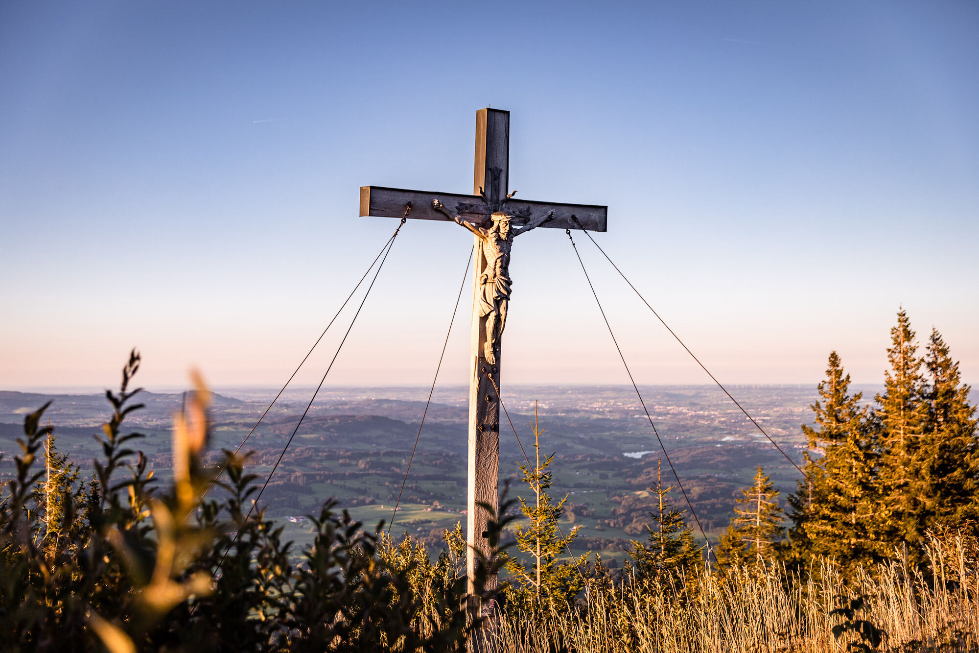
The rooty path continues uphill to the left. After a short time, you reach a junction with a forest path, which you follow slightly uphill. After about five minutes on foot, a wide gravel path branches off. Continue along this until a path with signs to the Immenstädter Horn branches off diagonally to the right. The forest becomes increasingly lighter here, the ground is mossy and overgrown with blueberry bushes. The first views of the Illertal valley soon open up and a small refuge becomes visible. The summit cross is located to the right of the path.
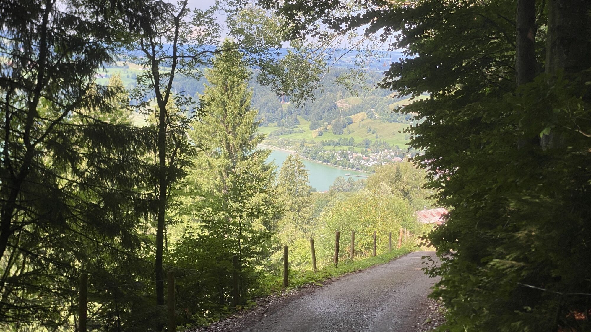
After enjoying the view to the full, you descend back down into the valley. A signposted meadow path leads downhill to Alpe Kessel. Here you can briefly cool your feet in a stream and enjoy the idyllic landscape. The subsequent forest path continues downhill, accompanied by the sound of the stream in the Gschwender Tobel ravine on the left.
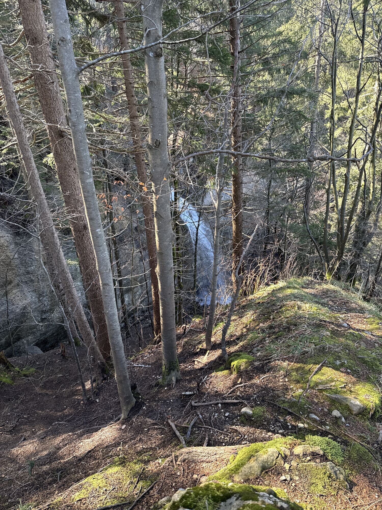
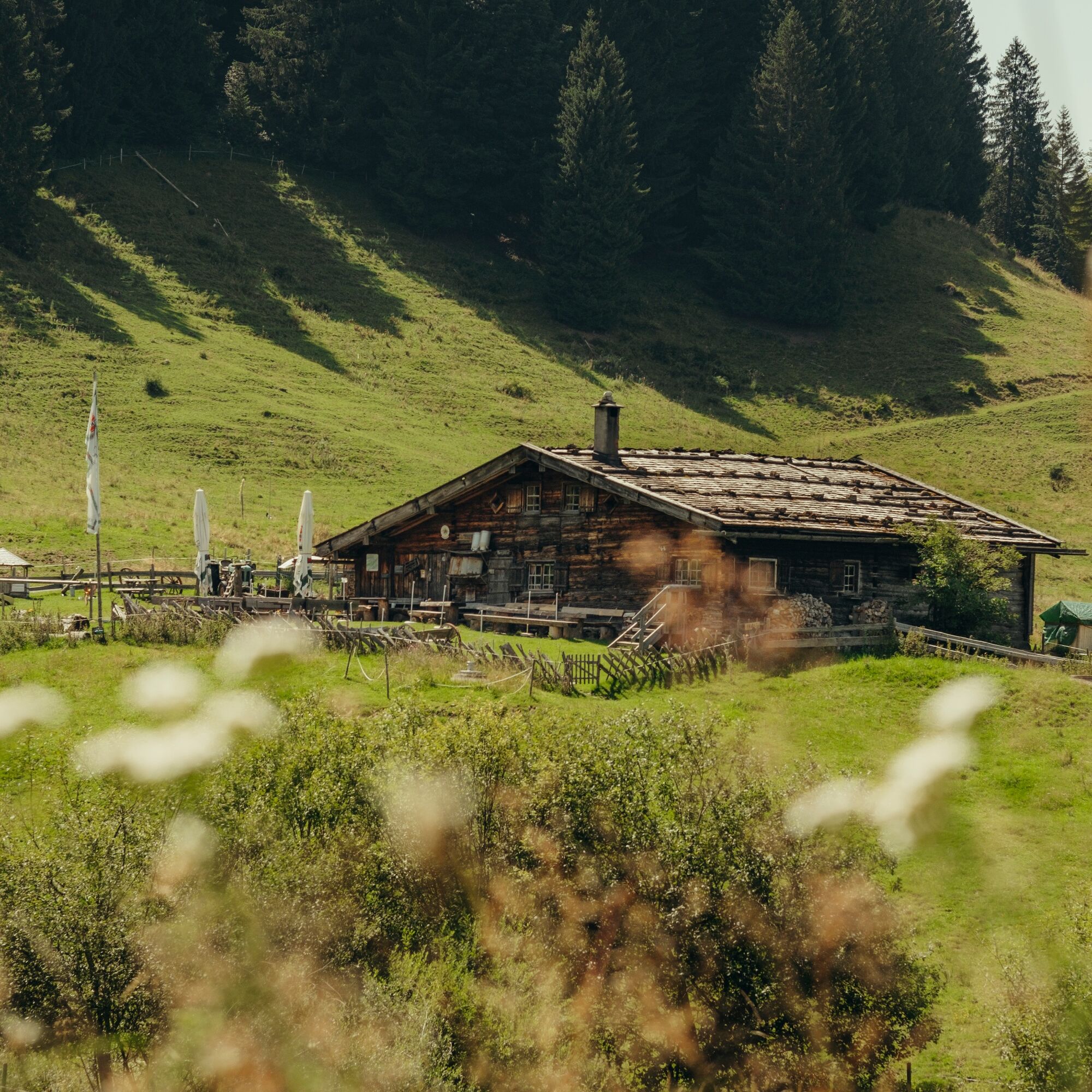
At the Rabennest-Alpe, it is worth taking a look to the left, as there is a waterfall, partly hidden by trees, on the steep rocky slope. Afterwards, you can stop off at the rustic Alpe Gschwenderberg, one of the oldest alps in the Oberallgäu, which is about 15 minutes' walk away. For the original route, the path continues downhill towards Rieder or Bühl. A rest and refreshment stop is recommended once you reach the valley.
Shortcut: With the Mobil Pass Allgä u, the return journey to the starting point is free of charge. Bus routes 11 and 39 are available for this. Alternatively, Immenstadt can be reached after a 30-minute walk via the bathing path.
Note: This tour is also included in the current hiking booklet, available at all Alpsee-Grünten tourist information offices.


Áno
Alternatively also accessible by car.
Take the train to Immenstadt station and from there it's a 5-minute walk to the cemetery, the starting point of the hike.
Did you know?
All Immenstadt vacation guests receive the following from their hostMobil Pass AllgäuThis means that this hike can be reached free of charge by public transport.
Parking is available at the cemetery, at the Mittagbahn valley station or in the town center.
Webové kamery z prehliadky

Obľúbené výlety v okolí
-
4,6
Steibis - Buchenegger Waterfalls
strednáTuristika 6,47 km -
3,9
Klassikertour: Auf den Grünten
ťažkéTuristika 8,50 km -
4,4
Wanderung auf den grünten
strednáTuristika 8,31 km -
4,4
Starzlachklamm
strednáTuristika 5,30 km -
4,7
Rindalphorn und Hochgrat
strednáTuristika 15,6 km -
5,0
Nagelfluh ridge route Hochgrat - Mittag
ťažkéTuristika 14,0 km -
4,9
Immenstädter Horn
svetloTuristika 9,35 km -
4,1
Circular route Hündle to the Buchenegger Waterfalls
strednáTuristika 9,69 km -
4,5
Immenstädter Horn - Gschwender Horn
svetloTuristika 10 km -
4,6
Fischen - Hinanger Wasserfälle
svetloTuristika 8 km

Turistika a stopovanie


Nenechajte si ujsť ponuky a inšpiráciu na ďalšiu dovolenku
Vaša e-mailová adresa bol pridaný do poštového zoznamu.





