


Hiking - Weiler Circular Route
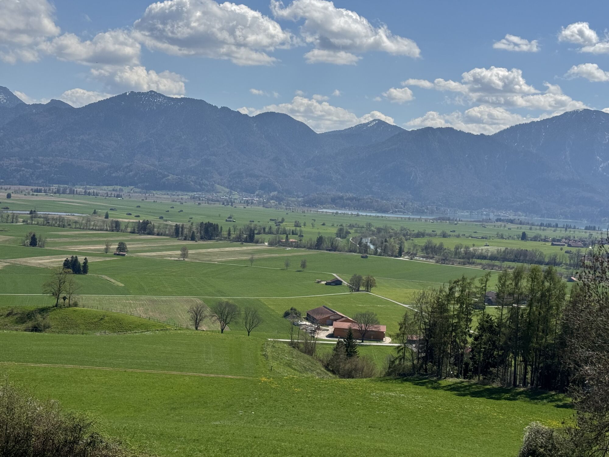
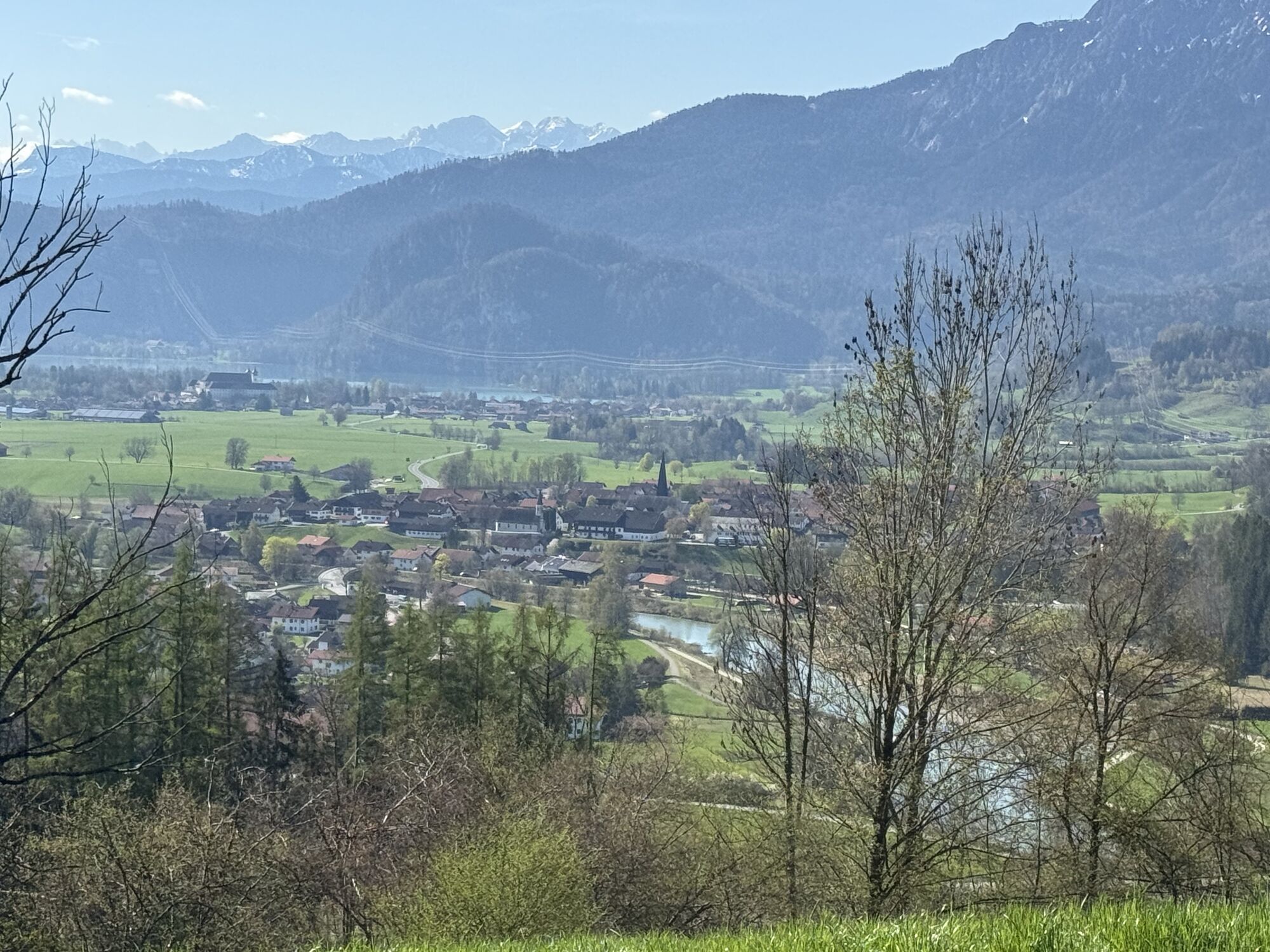
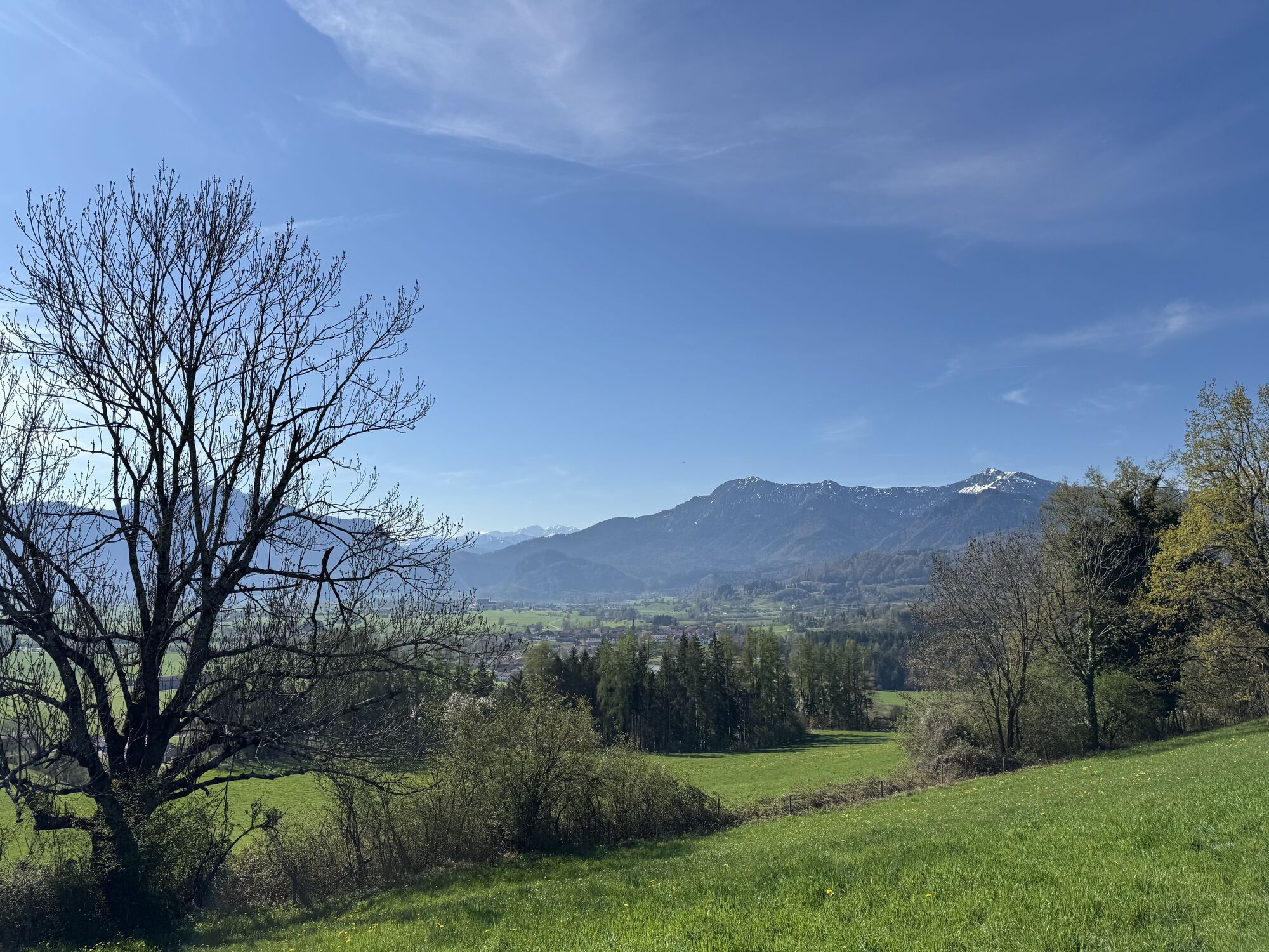
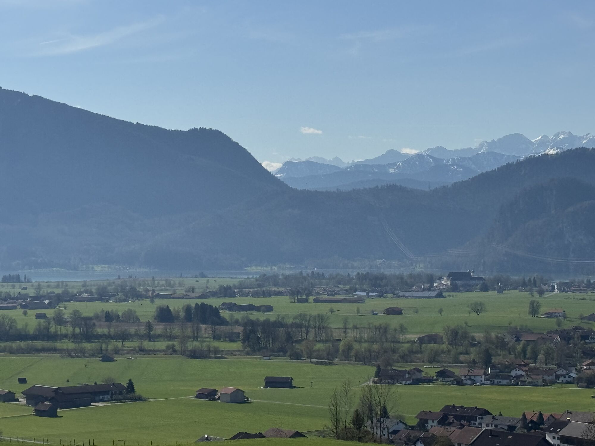
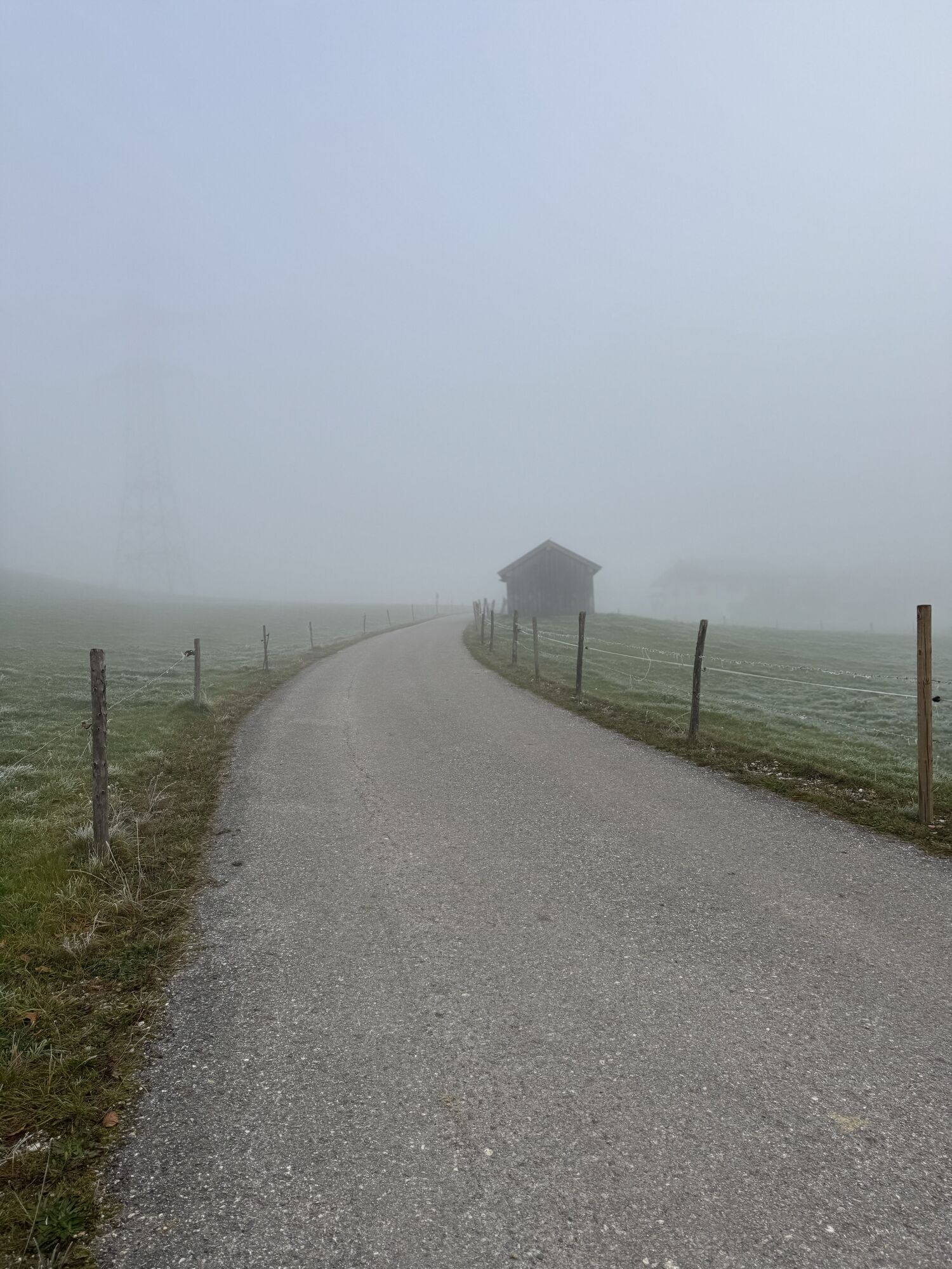
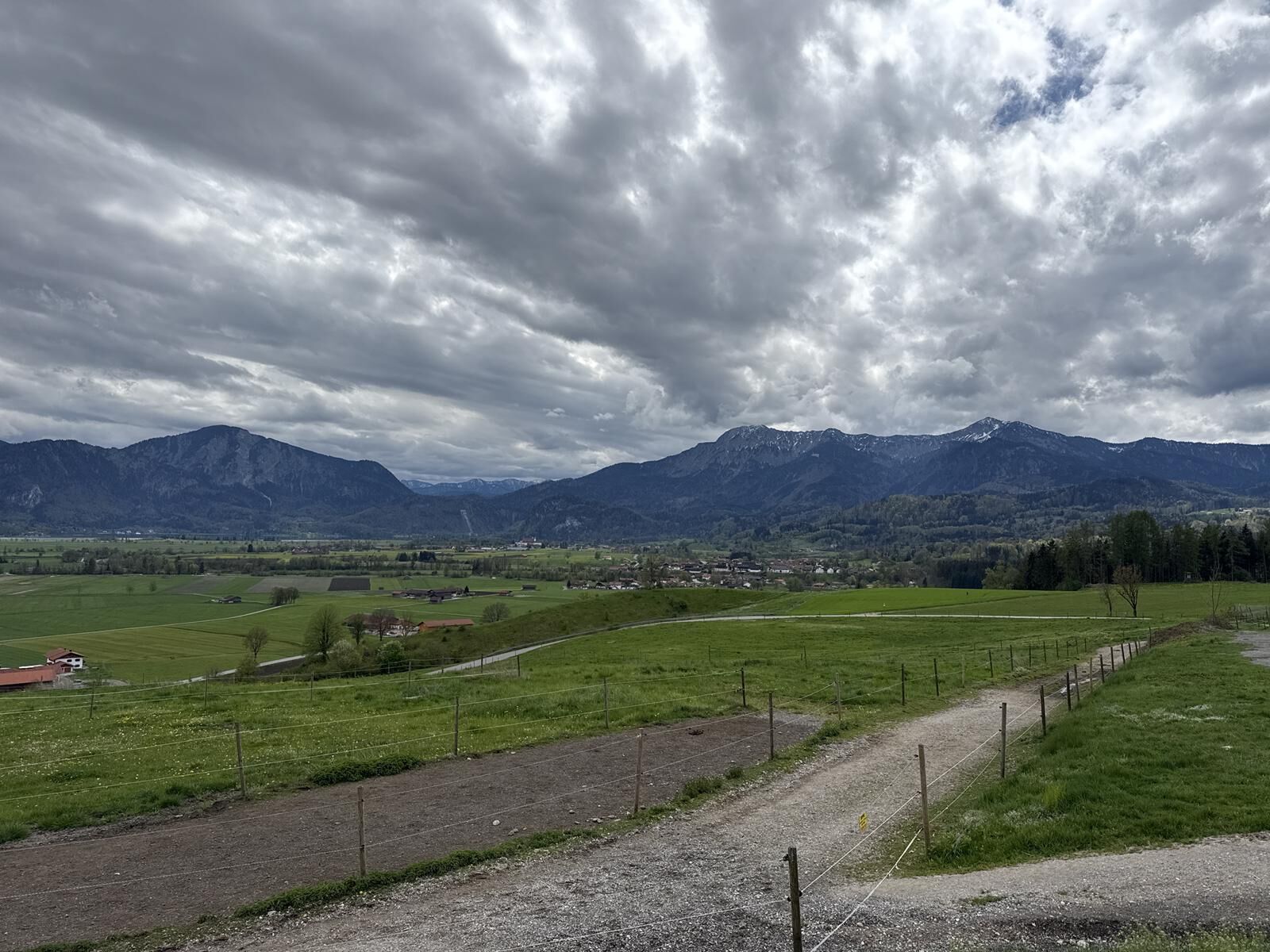

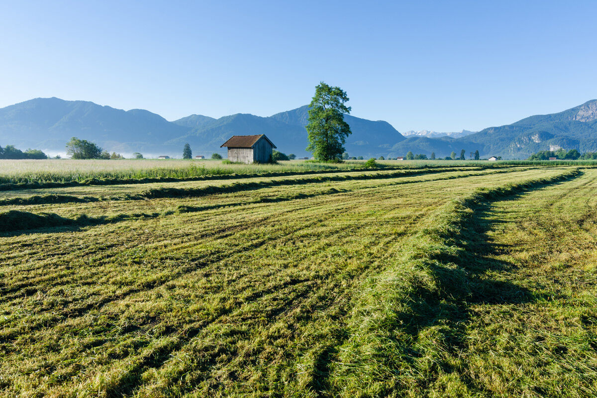
After a detour to the cool waterfall there, it goes up to a ridge (about 700 meters above sea level), where the idyllic hamlets of Pölten, Stern, and Gröben lie. After breathtaking views from there of the pre-Alpine landscape, the mountains from the Benediktenwand via Jochberg, Herzogstand to Heimgarten and the Zugspitze, the monasteries Benediktbeuren and Schlehdorf, and the Walchensee power station, the path turns left down a shaded hollow way to the Loisach at Kleinweil, and back to the parking lot at the Großweiler Loisach Bridge, where there is also a monument honoring the Loisach log drivers.
The old churches of St. Georg in Großweil, St. Korbinian in Kleinweil, and St. Martin in Zell are definitely worth a visit during the hike.
From Großweil, a detour can also be made to the open-air museum of the Upper Bavaria district at Glentleiten, which, with its old houses, mills, pond systems, and many animals, especially provides a pleasant change for families with children.
Áno
In an emergency, please contact the nearest rescue control center. Regardless of location, you can reach it nationwide at the phone number 112.
From Munich via the A95 and from Garmisch-Partenkirchen via the B2 and A95
Bus stop: Großweil town hall
Bus lines:
9611 Kochel - Schlehdorf - Großweil - Ohlstadt - Murnau (Note: The Glentleiten open-air museum is only served from April to October!)
9613 Penzberg - Benediktbeuern - Kochel - Schlehdorf
9617 Penzberg - Iffeldorf - Antdorf - Habach - Sindelsdorf - Penzberg
Guests of the "Blue Land" region and the "Ammergau Alps" can use a wide range of bus lines as well as the train lines from Murnau to Oberammergau and from Uffing to Garmisch-Partenkirchen free of charge with the electronic guest card or KönigsCard. Further information is available at: https://www.dasblaueland.de/Service/mobil
Parking lot at the Loisach Bridge
Obľúbené výlety v okolí
-
3,7
Benediktenwand (1801 m)
Turistika 23,0 km -
4,0
Wasserfall-Weg Jachenau
svetloTuristika 9 km -
4,8
Rundweg Heimgarten und Herzogenstand
strednáTuristika 15,0 km -
4,8
Jochberg
svetloTuristika 7,56 km -
4,6
Murnauer Moos
svetloTuristika 11,5 km -
4,6
Mountain route - Heimgarten via Käseralm
strednáTuristika 10,8 km -
4,6
"Rabenkopf" Rundweg
Turistika 11,0 km -
4,7
Herzogstand
strednáTuristika 7,28 km -
4,3
Rabenkopf
strednáHorská turistika 17,1 km -
4,0
Jachenau Talwanderung
Turistika 14,8 km
Turistika a stopovanie


Nenechajte si ujsť ponuky a inšpiráciu na ďalšiu dovolenku
Vaša e-mailová adresa bol pridaný do poštového zoznamu.