







Circular route to Salmaser Höhe
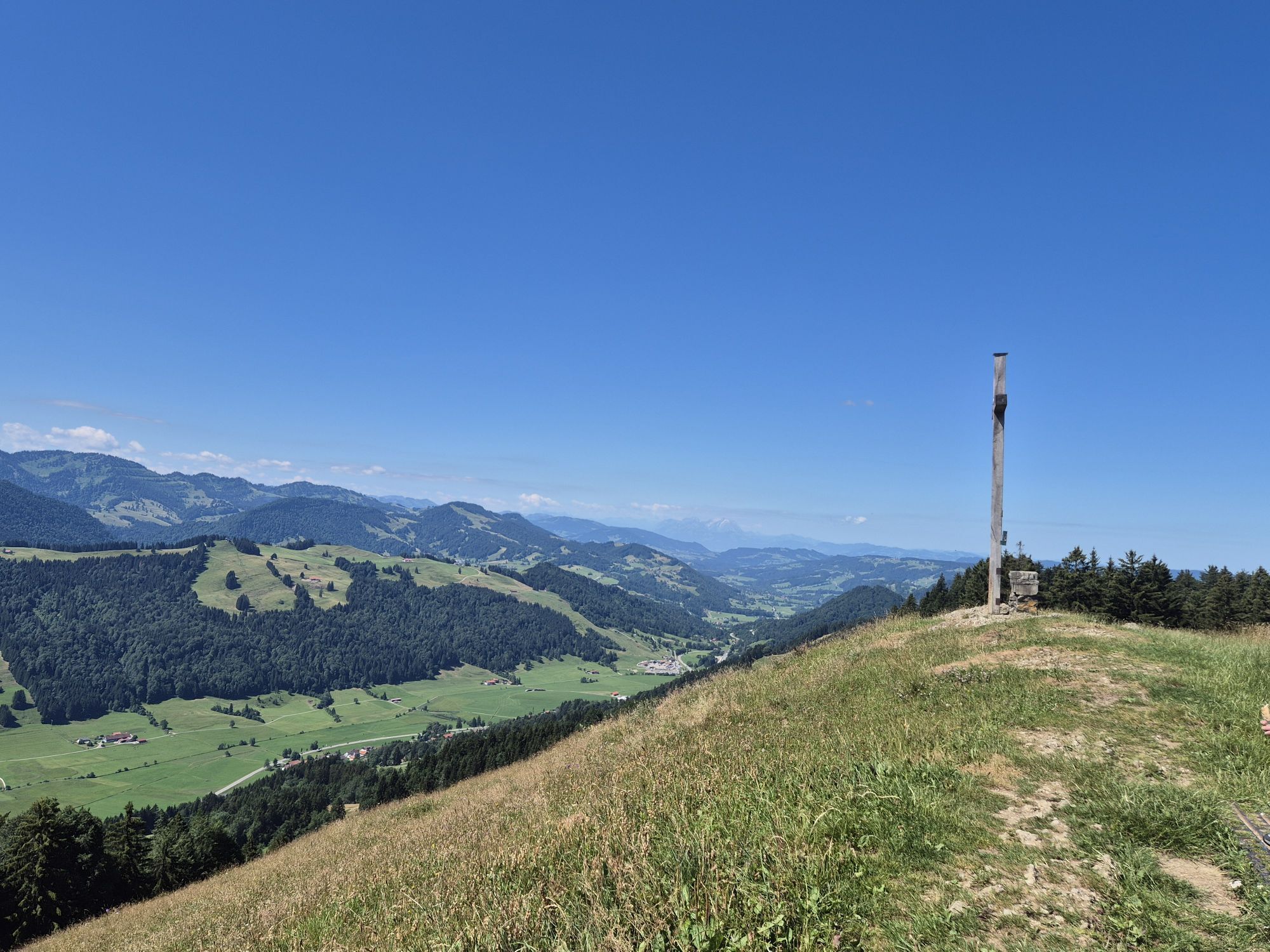
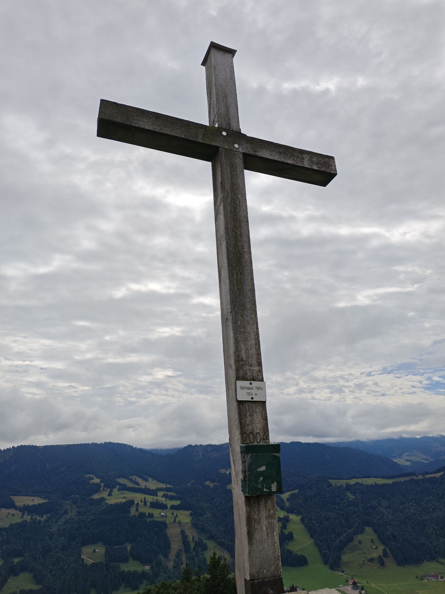
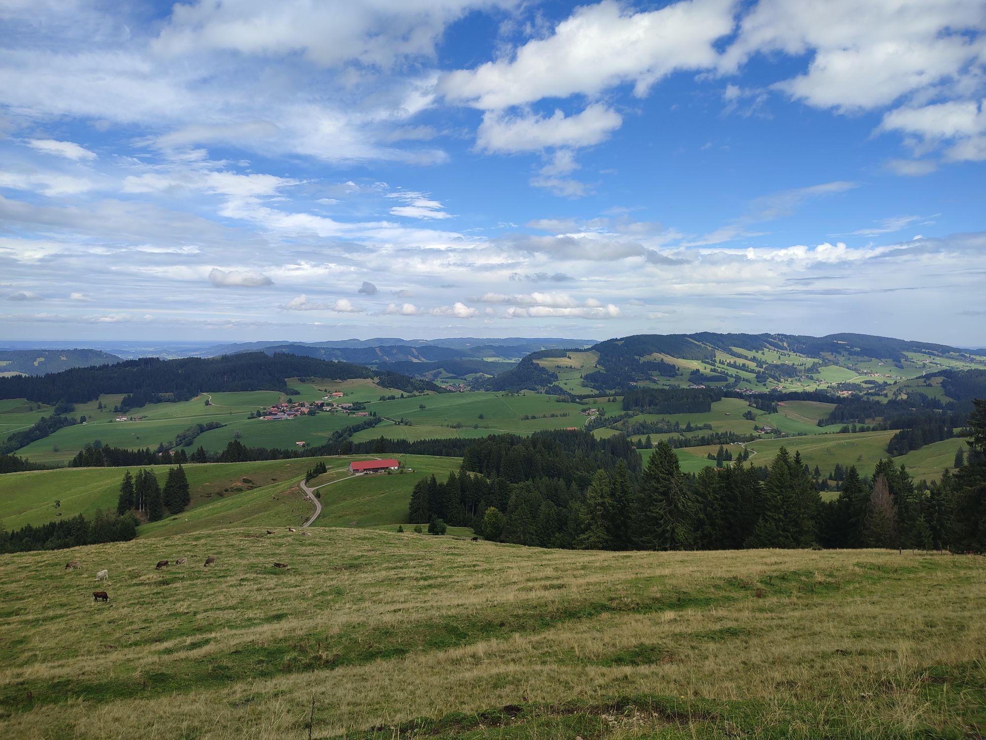
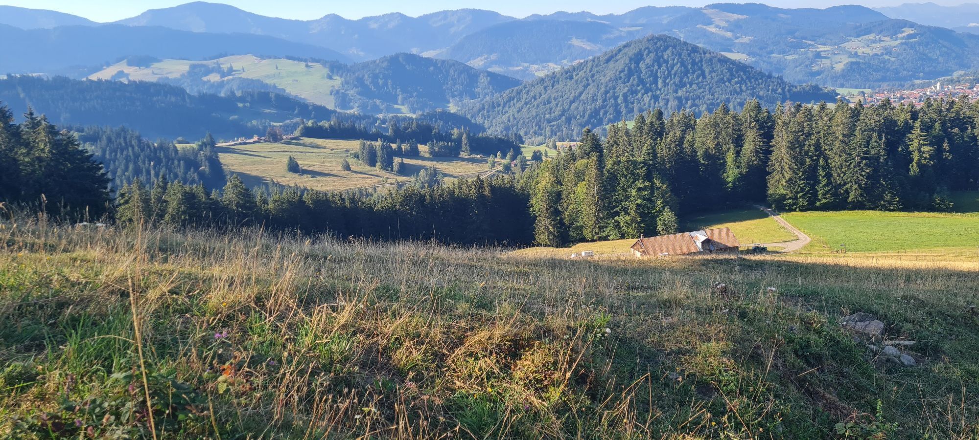
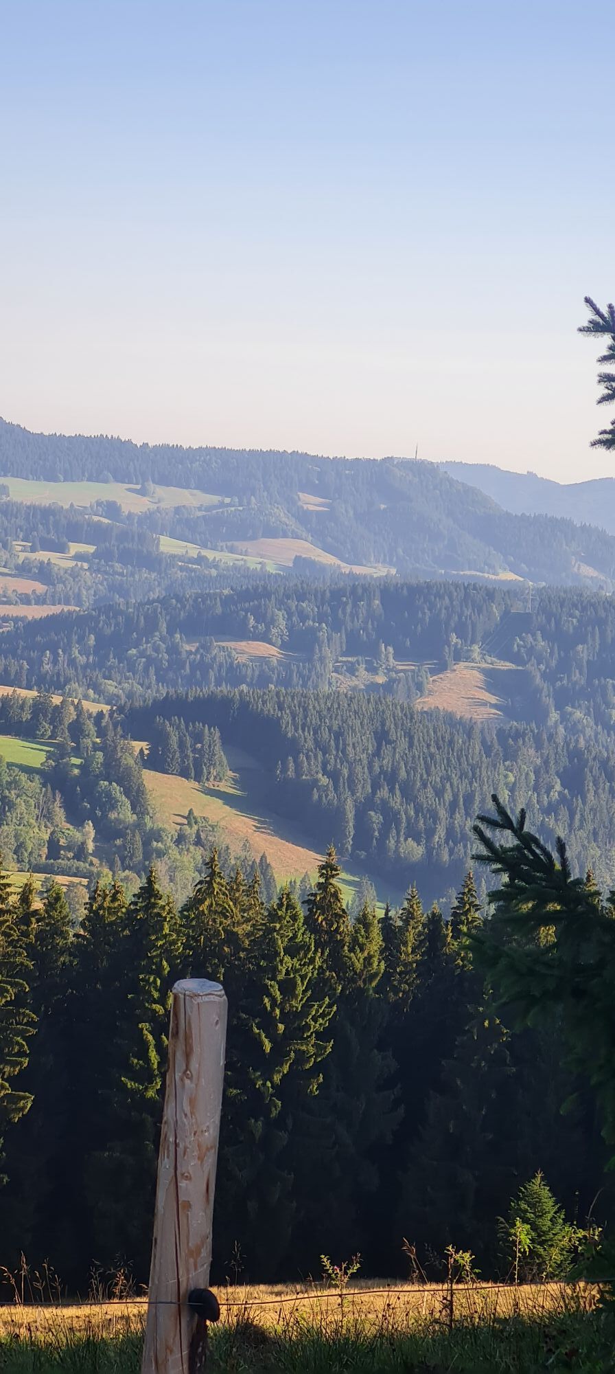
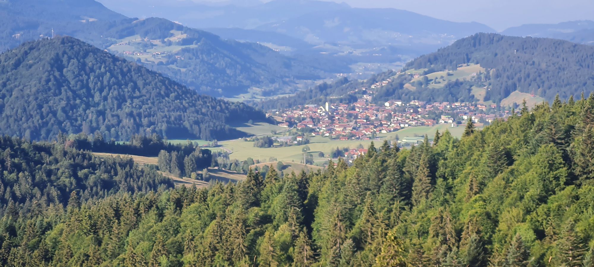
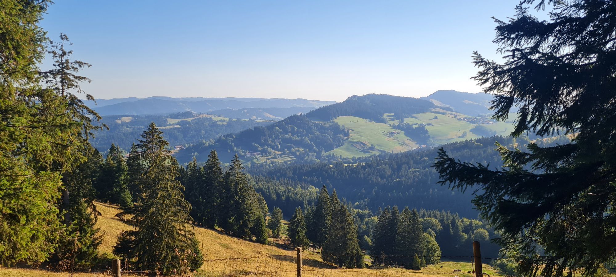
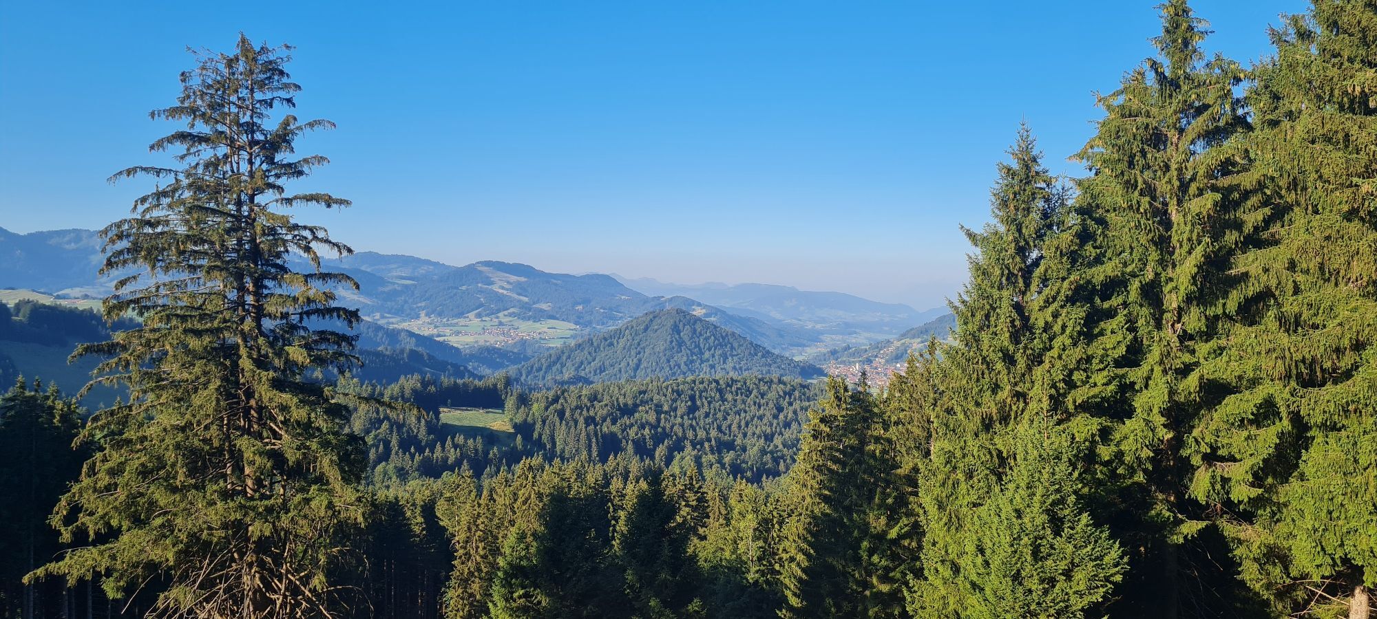
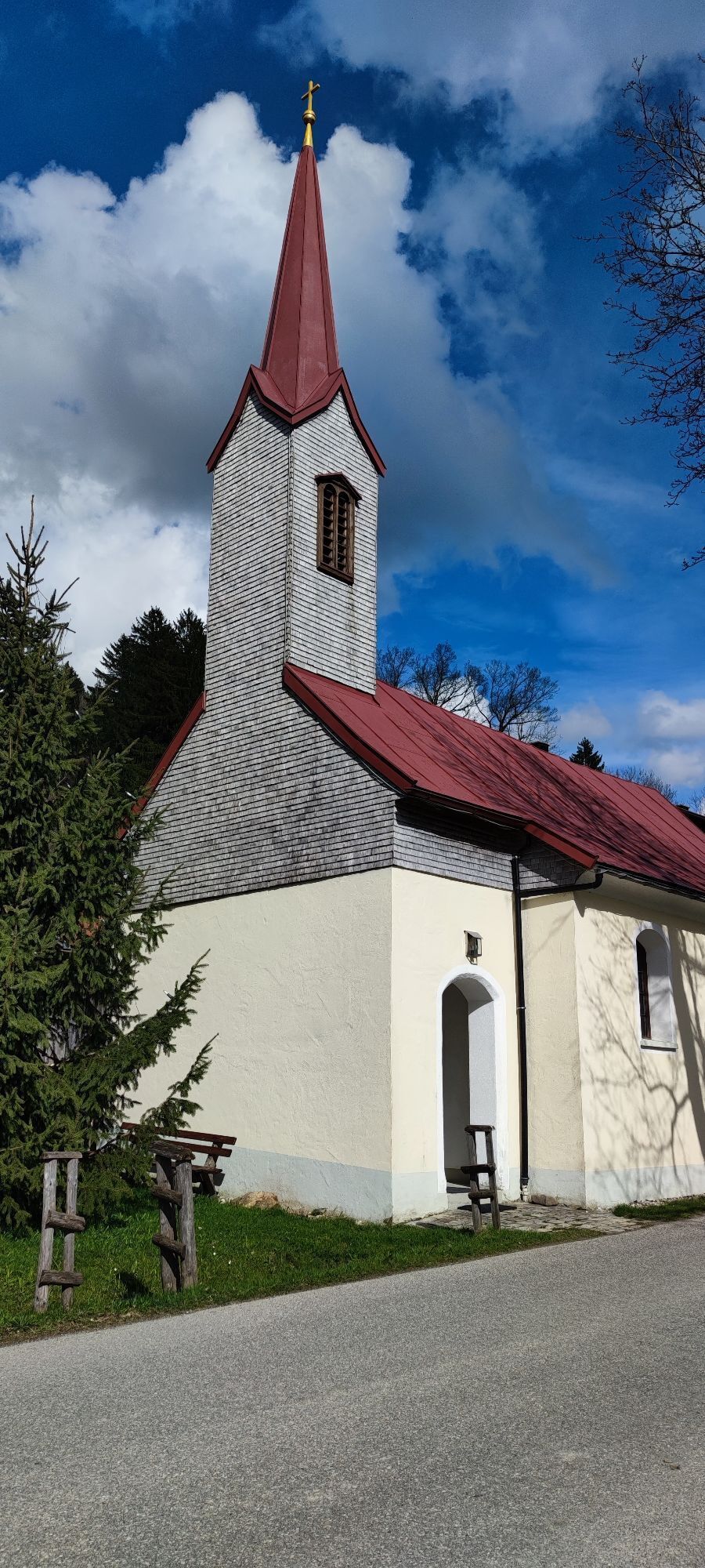
From the train station over Kalzhofer Straße to Kalzhofen. At the northern edge of town, turn right and follow the alpine path uphill along the golf greens to the Obere Gsäng Alpe. From here continue straight...
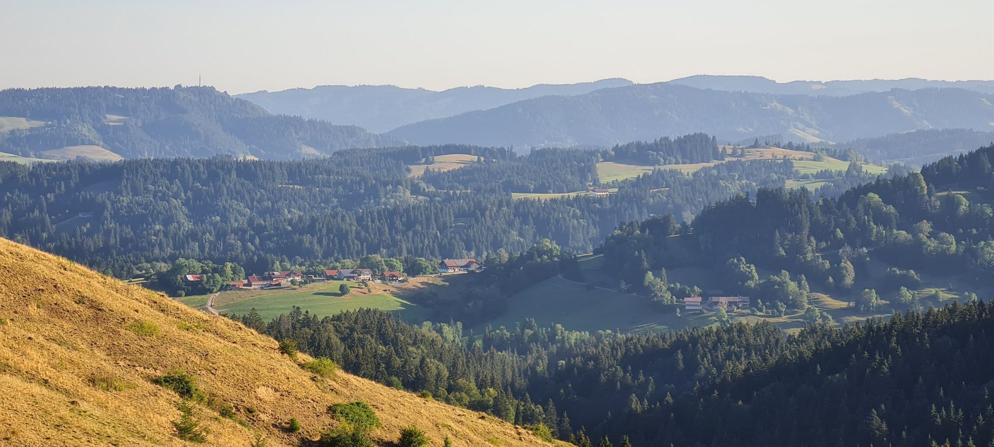
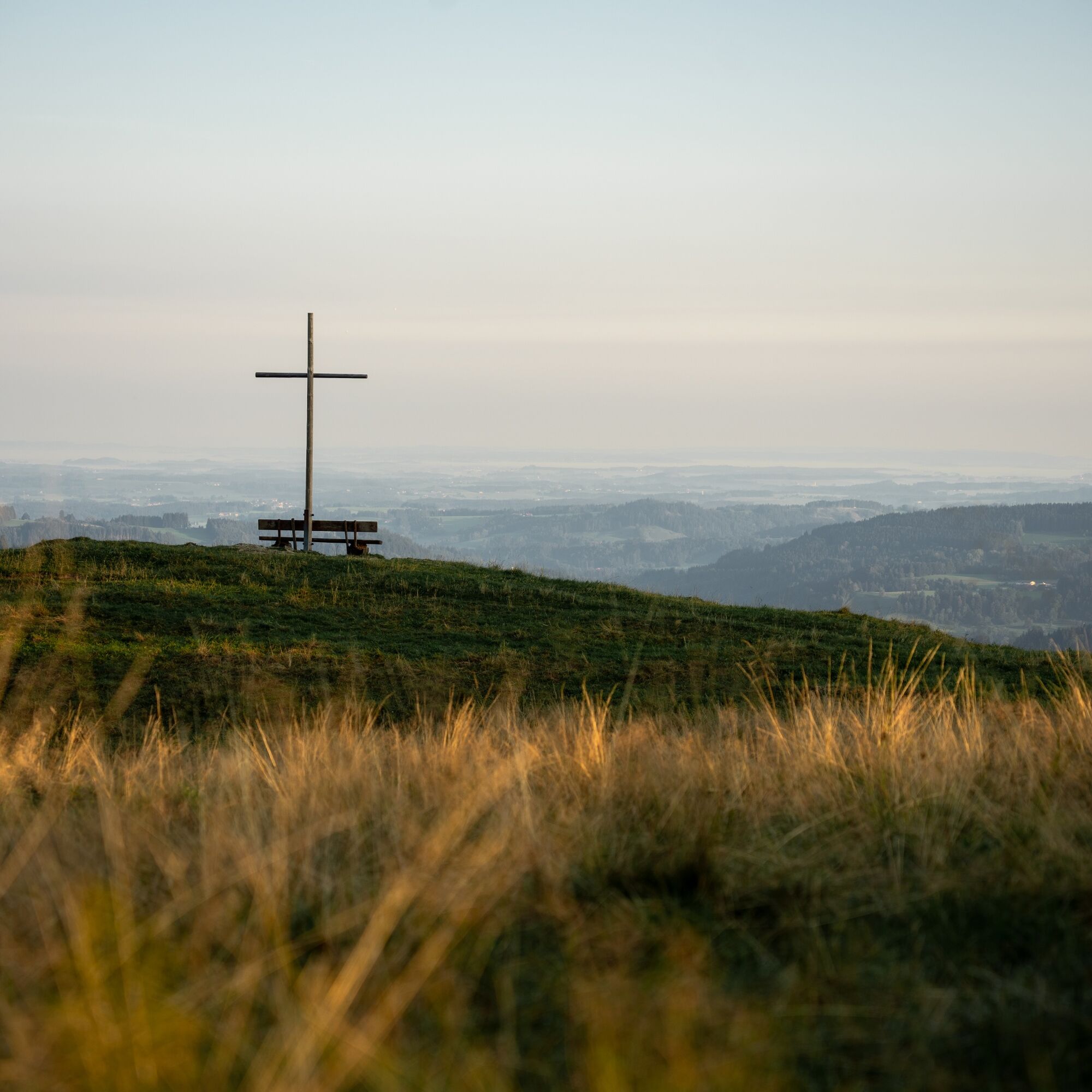
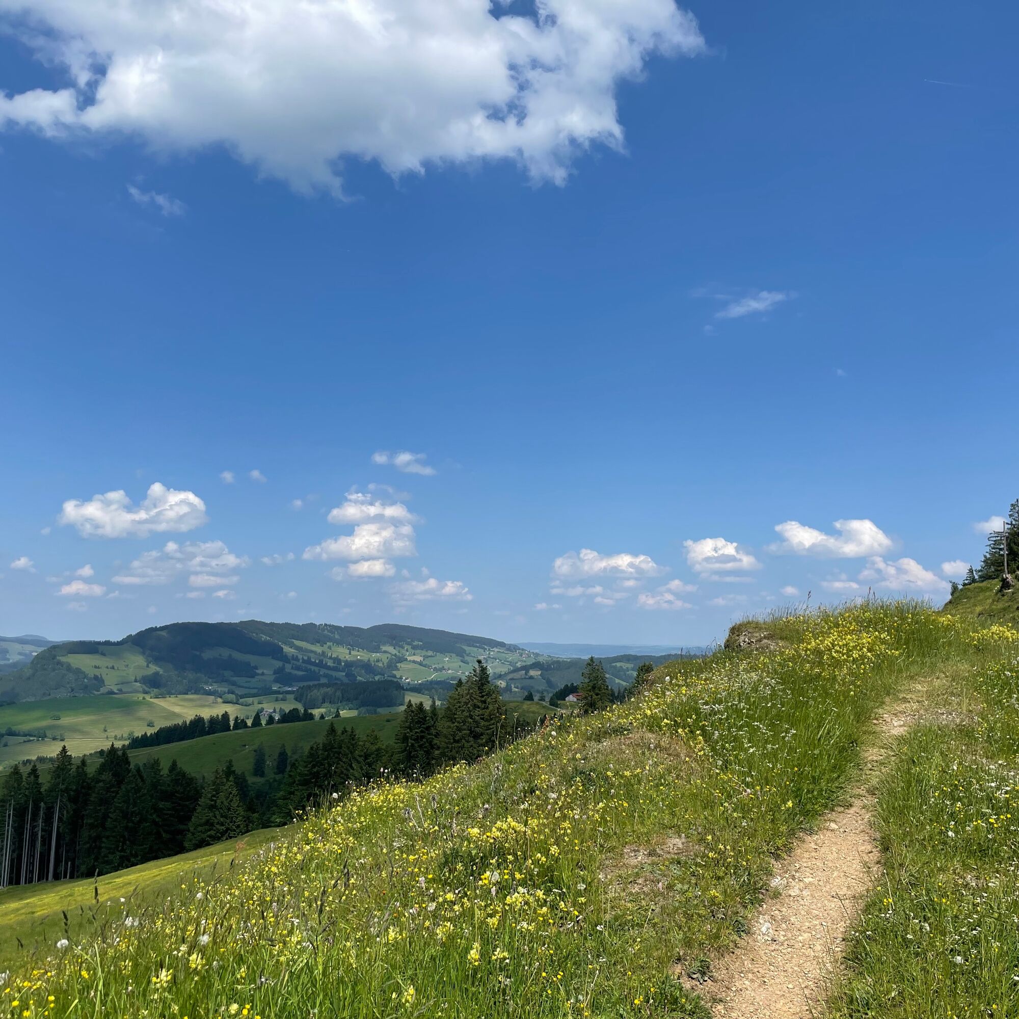
From the train station over Kalzhofer Straße to Kalzhofen. At the northern edge of town, turn right and follow the alpine path uphill along the golf greens to the Obere Gsäng Alpe. From here continue straight uphill on the meadow path, keep right at the top and follow the ridge eastwards over the Muttener Höhe to the Kalzhofener Höhe. Then cross the saddle at the Hompessenalpweg and continue following the logo of the Allgäu hiking trilogy, first through the forest and then over pasture areas and the sub-peak - up to the highest summit at 1,254 meters, the Salmaser Höhe. There first head east, follow the signposts towards Thaler Höhe, then turn right down over Schneiders Alpe to the managed Alpe Schneidberg. Continue downhill on the forest track to Wiedemannsdorf, then right to the railway crossing and above the railway line on the hiking path over Lamprechts and Salmas to the foot of the Staufen. Cross the tunnel and at the following fork turn right along the path through the mixed forest to the road at Wengener Stadel. From there back to Oberstaufen.

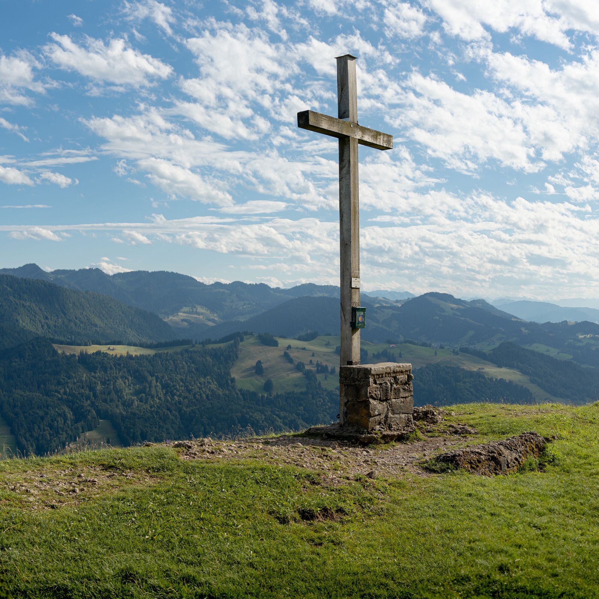
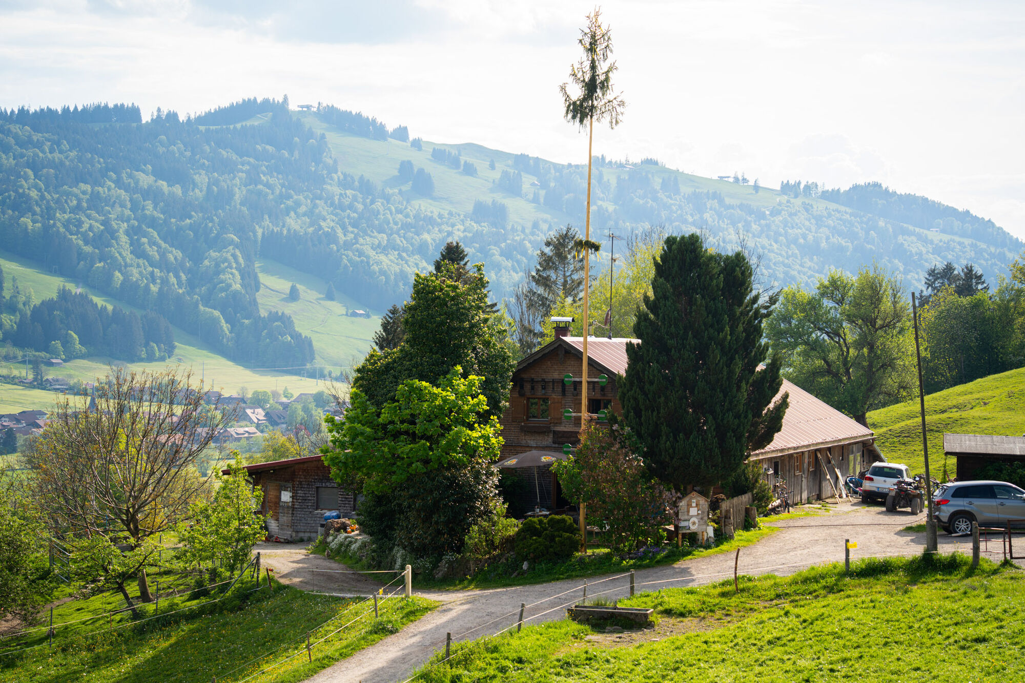
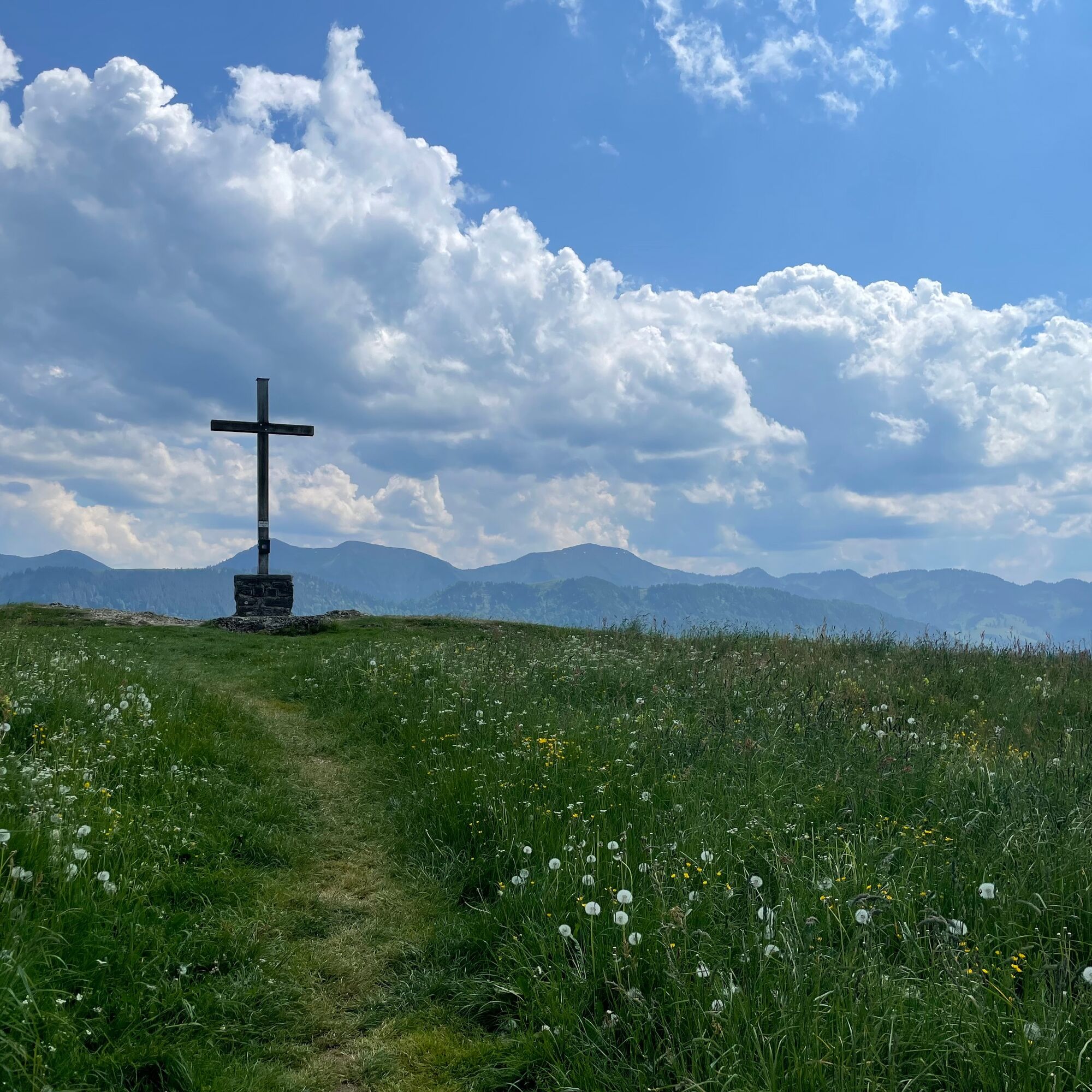

Oberstaufen train station - Kalzhofen - Obere Gsäng Alpe - Kalzhofer Höhe - Hirnbein Alpe - Salmaser Höhe - Thaler Höhe - Alpe Schneidberg - Wiedemannsdorf - Lamprechts - Salmas - Oberstaufen
Via the B 308 to Oberstaufen
At Oberstaufen train station
Obtain weather information in advance
Stay on the marked paths
112 emergency call or emergency app SOS-EU-ALP
Visit the Allgäu hand weaving mills in Wiedemannsdorf. Here, carpets are lovingly handmade from natural sheep wool. There is an opportunity to stop for refreshments at the little weaving studio.
Webové kamery z prehliadky
Získajte prehľad
Vždy naživo na mieste s viac ako 9 500 webovými kamerami. bergfex Ako používateľ Pro si teraz môžete pozrieť príslušné webové kamery pre mnohé zájazdy v aplikácii zájazdy z. Môžete si tak priamo prezerať aktuálne podmienky.
Obľúbené výlety v okolí
-
4,6
Steibis - Buchenegger Waterfalls
strednáTuristika 6,47 km -
4,7
Rindalphorn und Hochgrat
strednáTuristika 15,6 km -
5,0
Nagelfluh ridge route Hochgrat - Mittag
ťažkéTuristika 14,0 km -
4,9
Immenstädter Horn
svetloTuristika 9,35 km -
4,5
Immenstädter Horn - Gschwender Horn
svetloTuristika 10 km -
3,7
Rundtour Mittag
svetloTuristika 15,7 km -
5,0
Siedelalpe Runde von See - Immenstadt
svetloTuristika 10,3 km -
4,5
Circular route Hündle to the Buchenegger Waterfalls
strednáTuristika 9,69 km -
4,6
Hittisau | Rundwanderung von Hittisau zum Hochhäderich
strednáTuristika 9,22 km -
4,4
Circular route Steibis to Dreiländerblick
strednáTuristika 7,95 km
Turistika a stopovanie


Nenechajte si ujsť ponuky a inšpiráciu na ďalšiu dovolenku
Vaša e-mailová adresa bol pridaný do poštového zoznamu.





