


Inzell panorama route
Úroveň náročnosti: 1
Fotografie našich používateľov
-

 © Ralf HubrichVytvorené dňa 06.04.2026
 -
 © Ralf HubrichVytvorené dňa 06.04.2026
 -
 © Ralf HubrichVytvorené dňa 06.04.2026
 -
 © Ralf HubrichVytvorené dňa 06.04.2026
 -
 © Ralf HubrichVytvorené dňa 06.04.2026
 -
 © Moonlight13Vytvorené dňa 14.03.2026
 -
 © Moonlight13Vytvorené dňa 14.03.2026
 -
 © Robin ThomasVytvorené dňa 01.11.2025
 -
 © Marlene SchillerVytvorené dňa 30.12.2024
 -
 © Marlene SchillerVytvorené dňa 30.12.2024
 -
 © Marlene SchillerVytvorené dňa 30.12.2024
 -
 © Marlene SchillerVytvorené dňa 30.12.2024
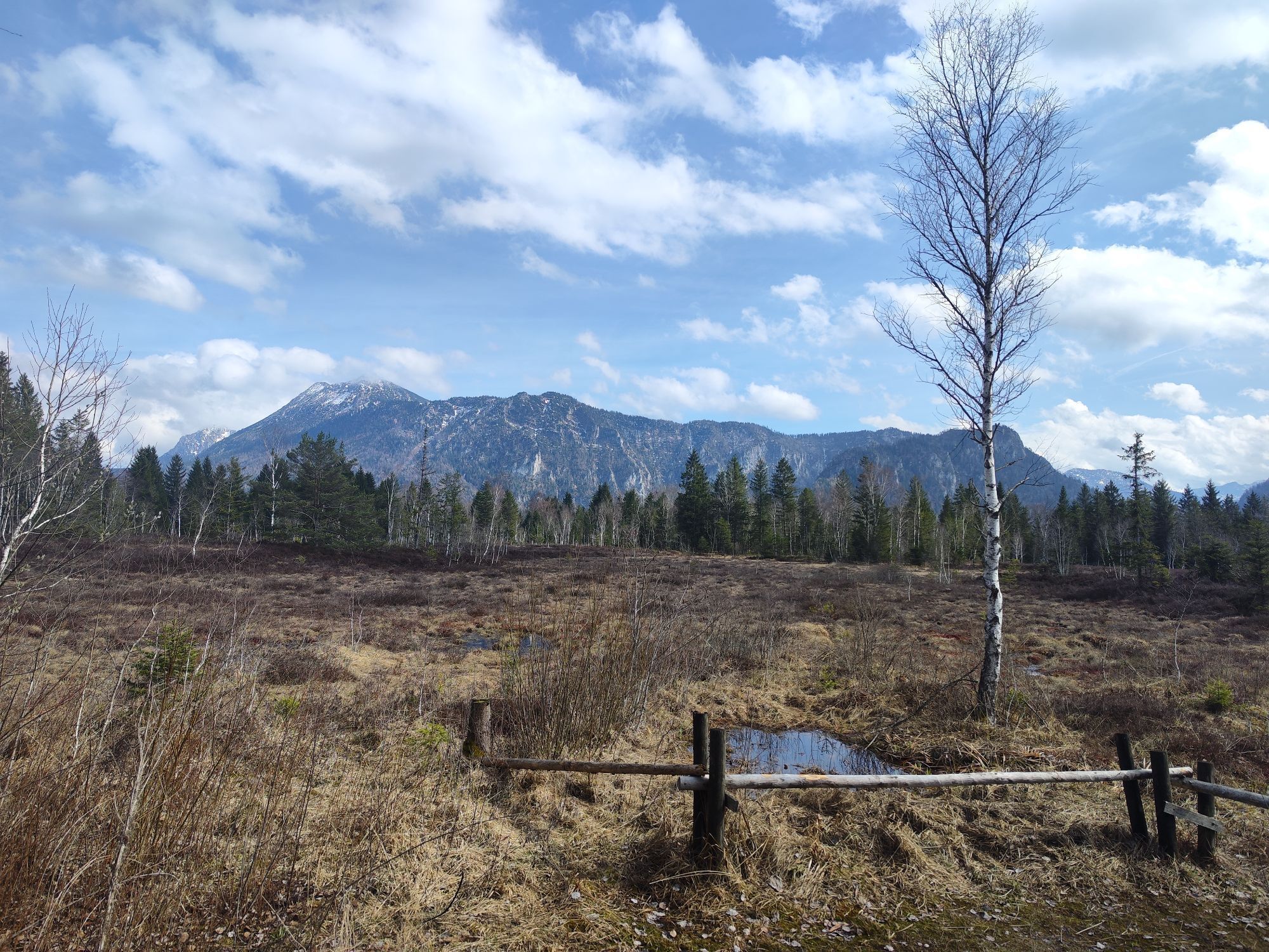
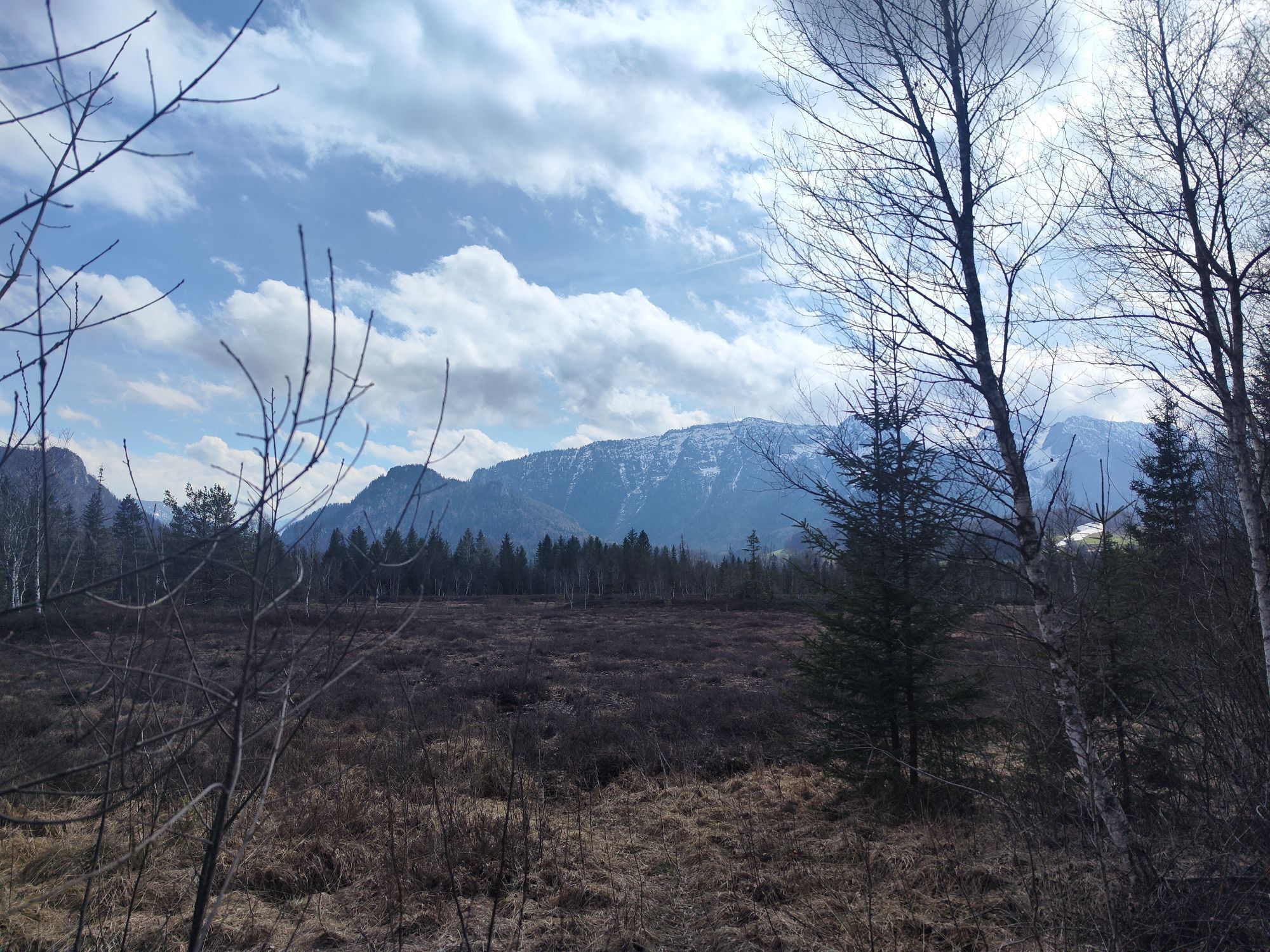


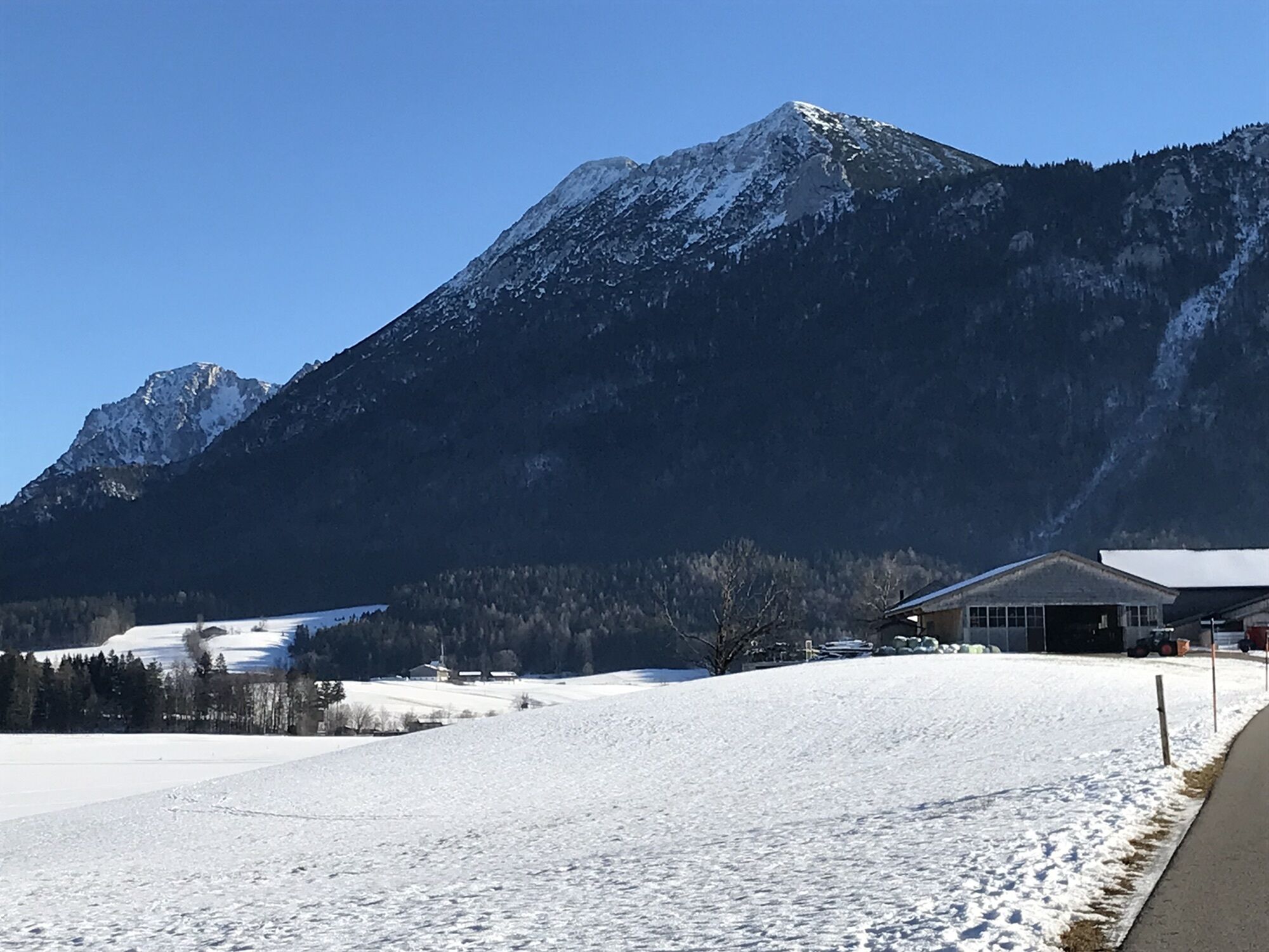
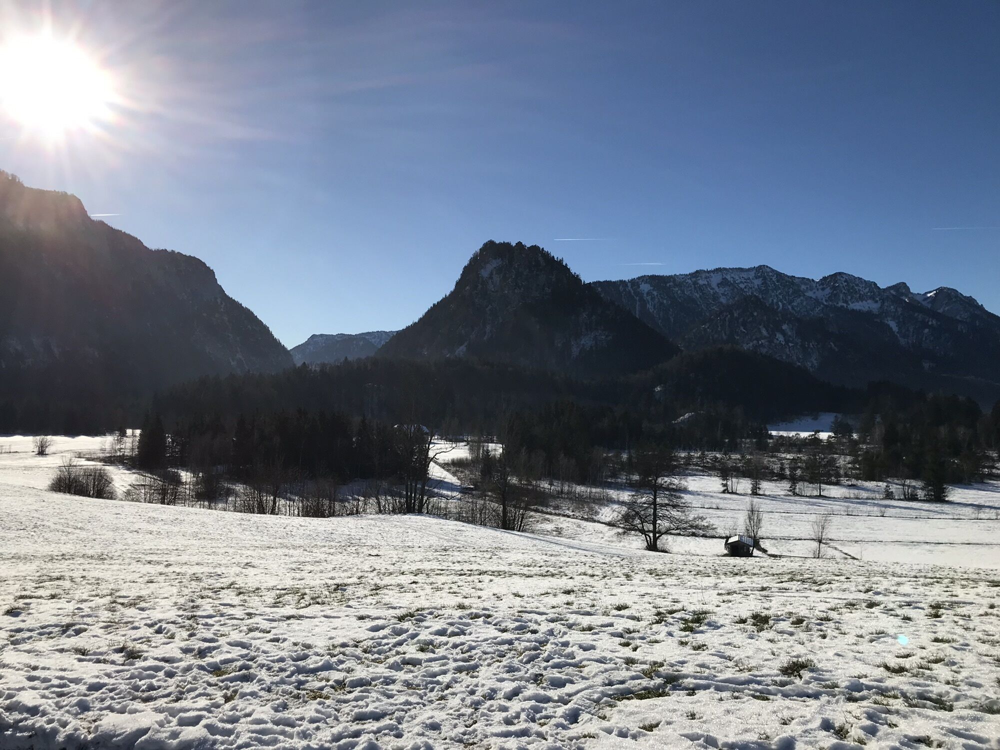

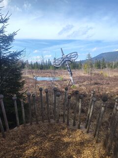
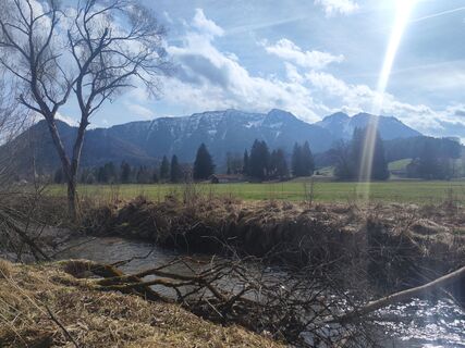
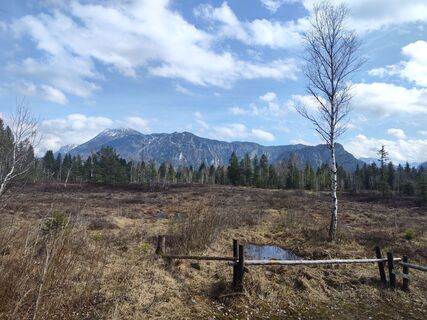
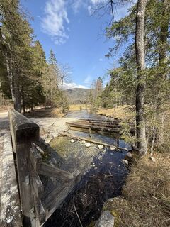
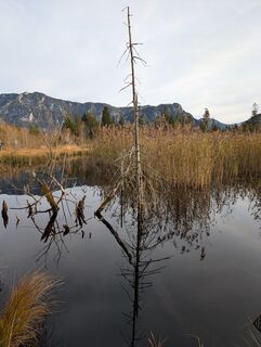
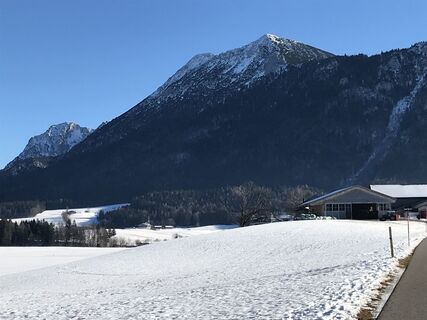
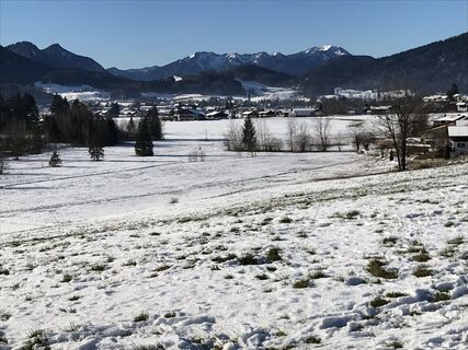
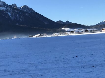
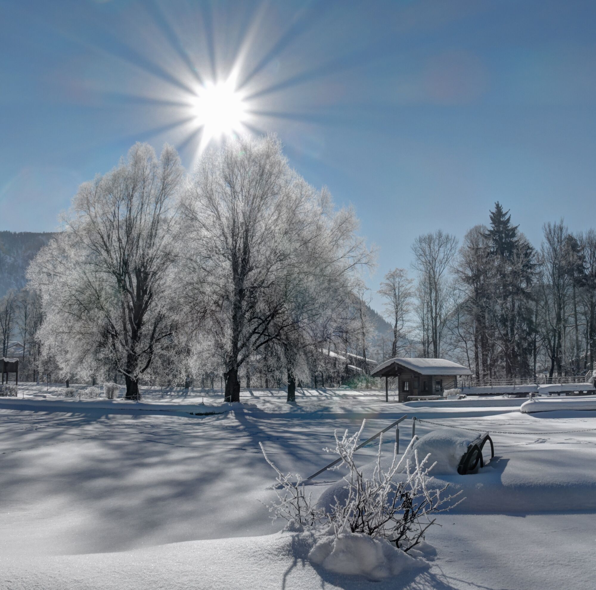
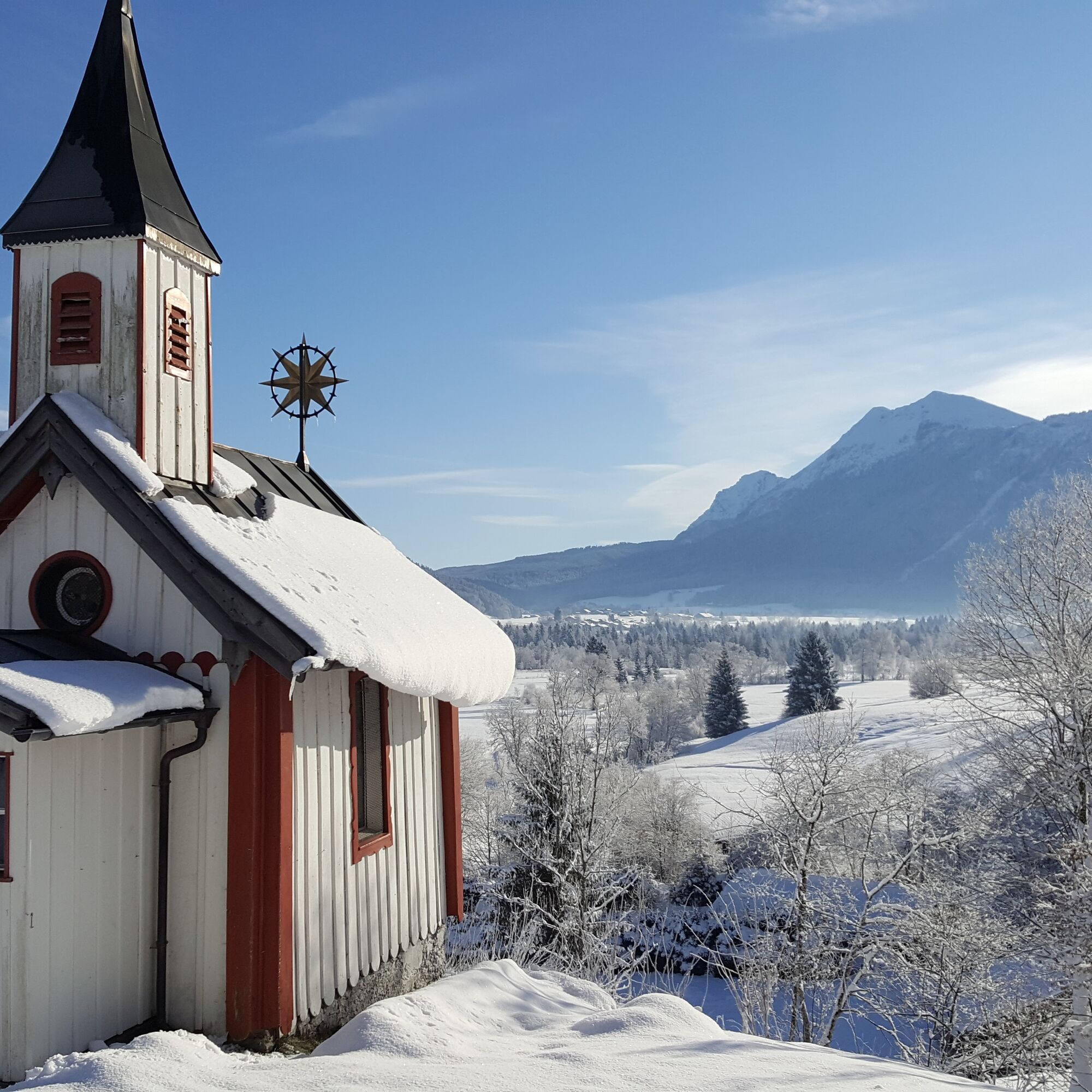
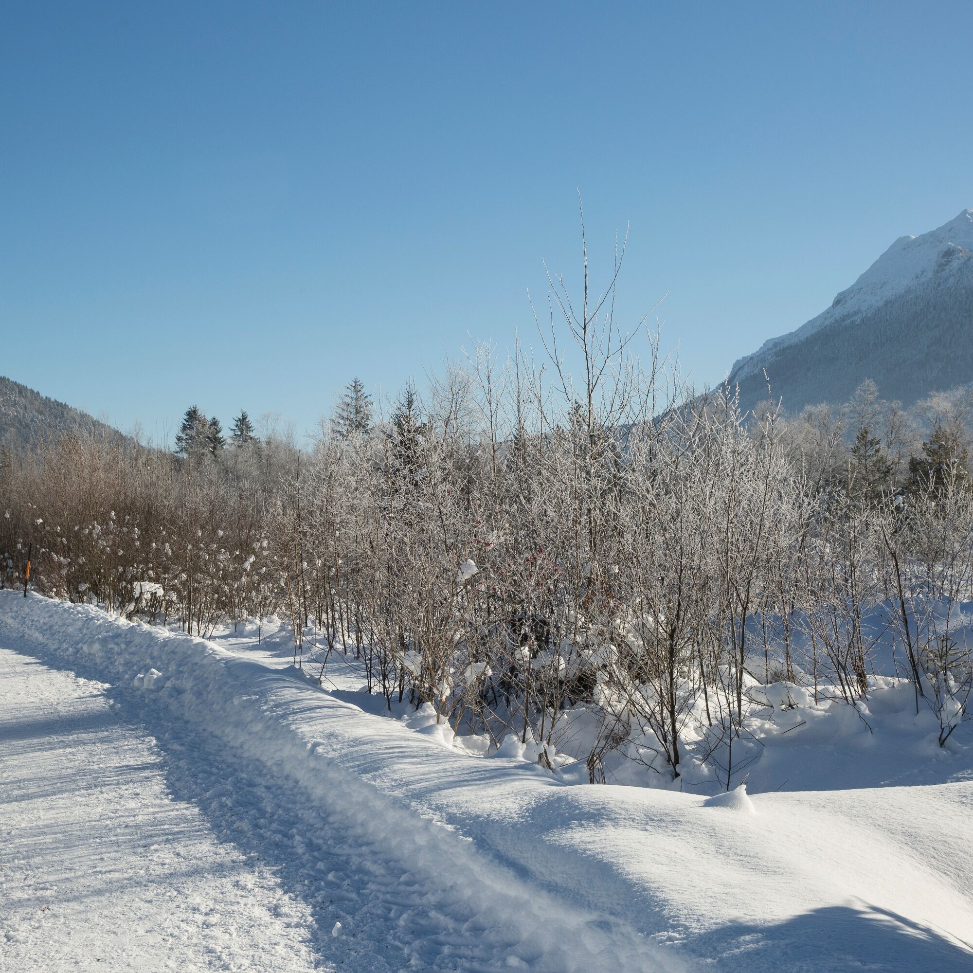
In Inzell, there is much to discover even in winter, either on your own or on the varied panorama route: crooked hay barns in the middle of snow-covered meadows. Small groves of birch trees dressed in...
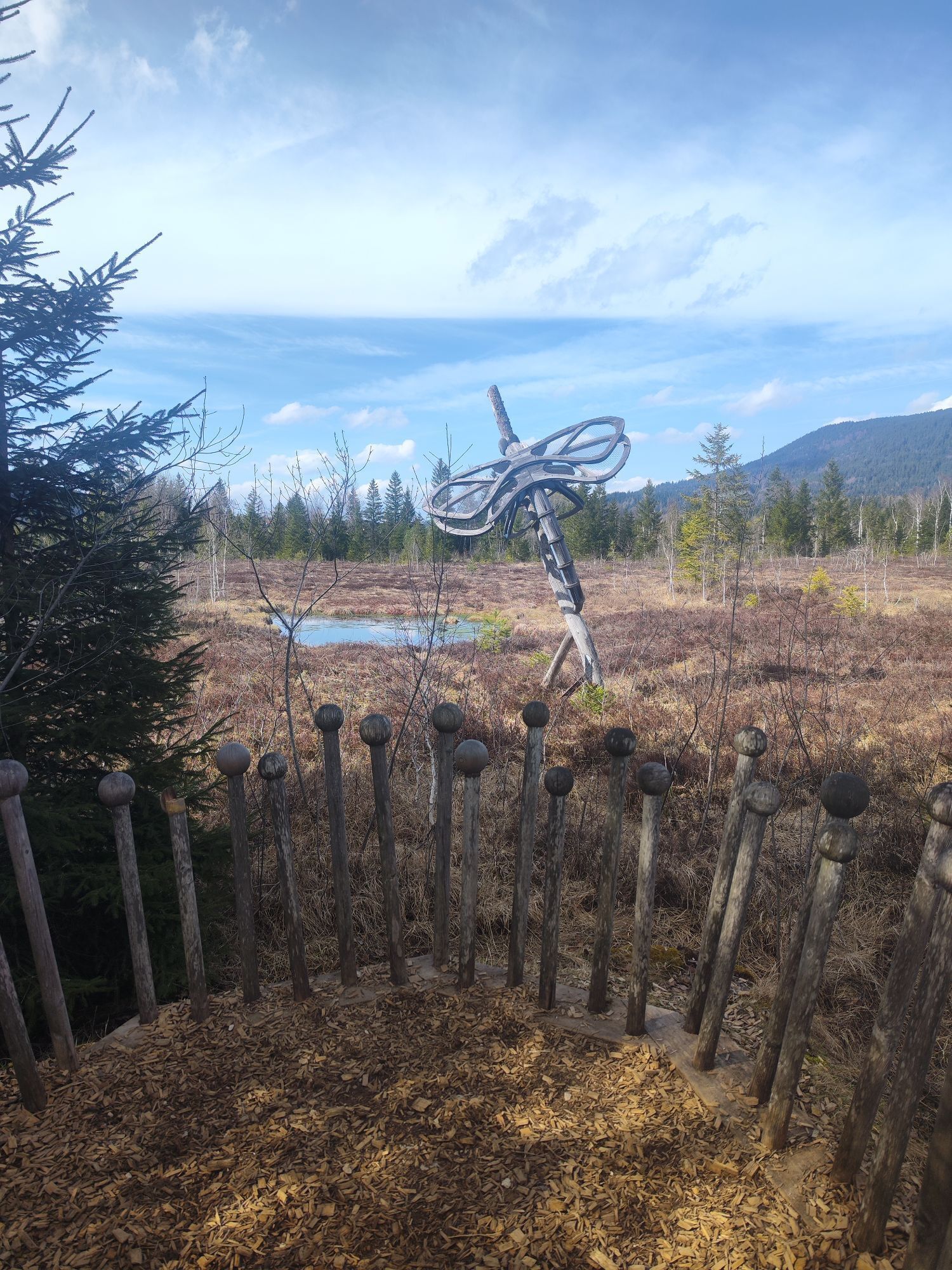
In Inzell, there is much to discover even in winter, either on your own or on the varied panorama route: crooked hay barns in the middle of snow-covered meadows. Small groves of birch trees dressed in white. Mountain streams, bitterly cold and sometimes covered with ice. A moorland, enchanted in winter, mysterious and silent. The cozy hiking path has hardly any inclines and is also recommended for families and walkers with less endurance.

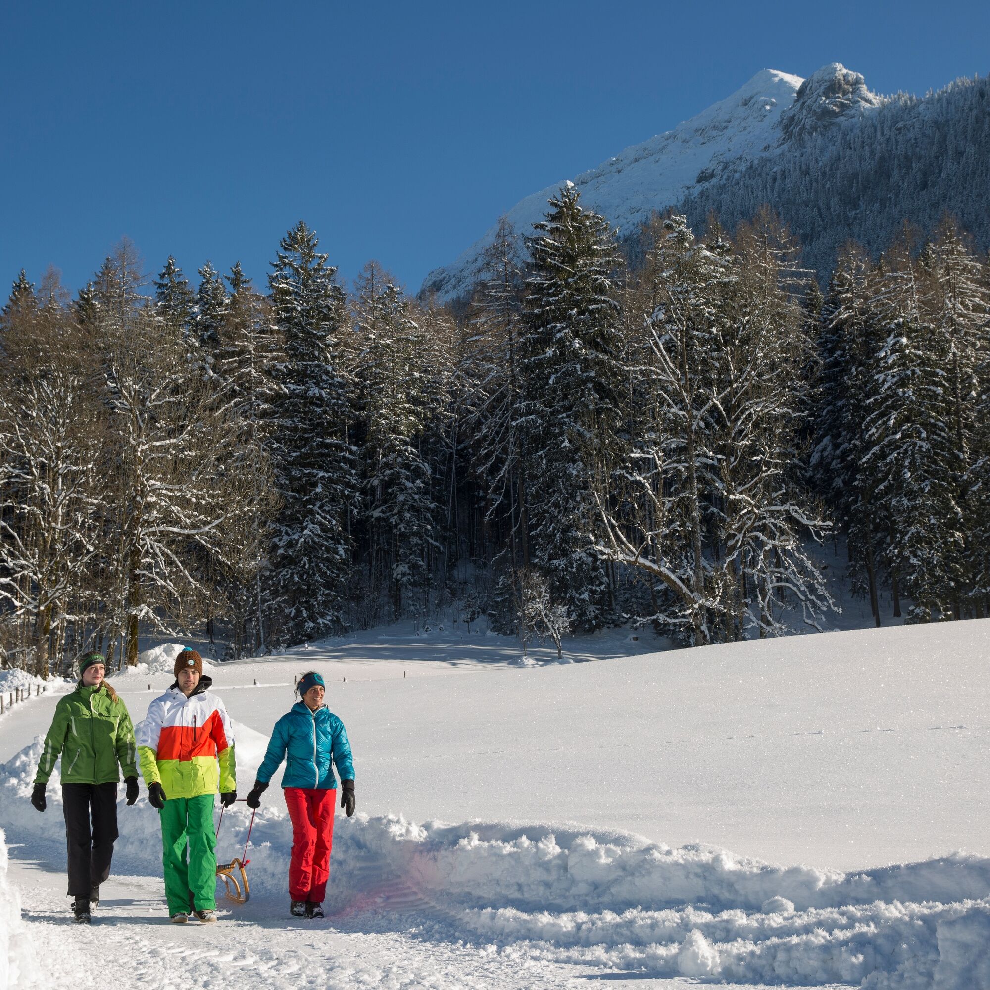
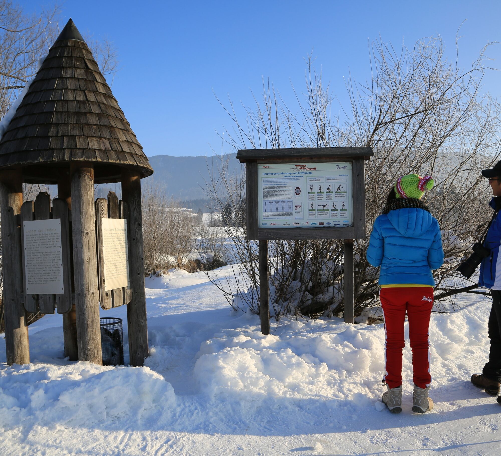
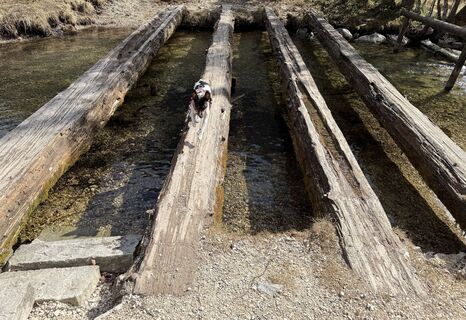
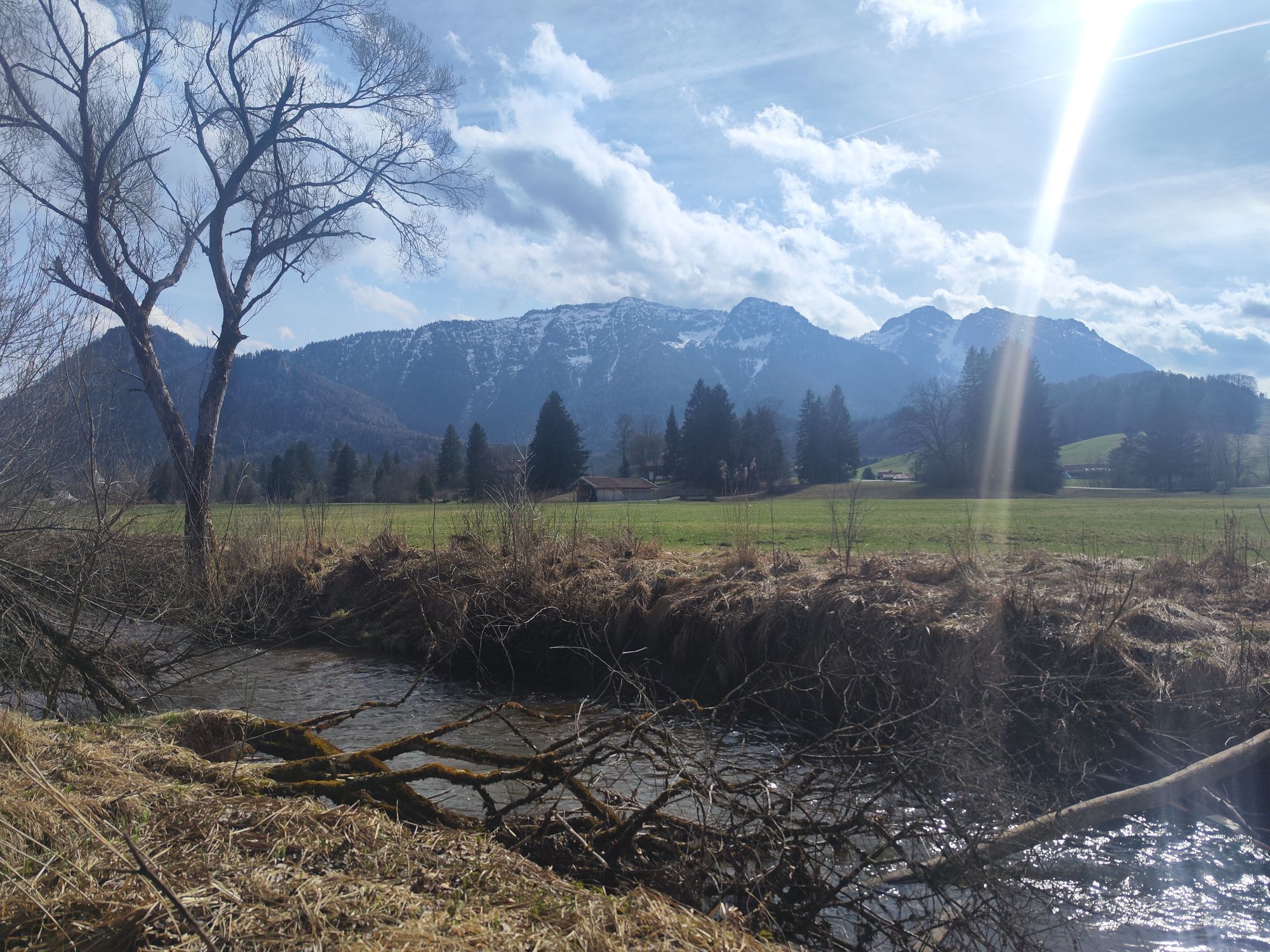
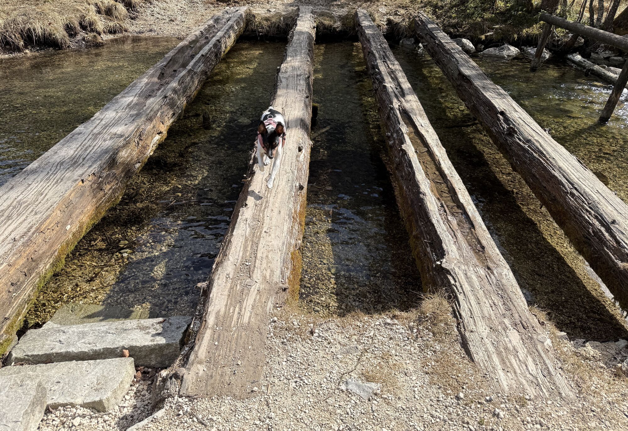
From the tourist info in the center of Inzell, we start the route heading east and follow the Rote Traun. Always along the edge of the forest, we pass Burgstall and turn left at the next fork to continue along the forest edge. After about 500 meters, we turn left again and take the winter hiking trail over Breitmoss to Einsiedl.
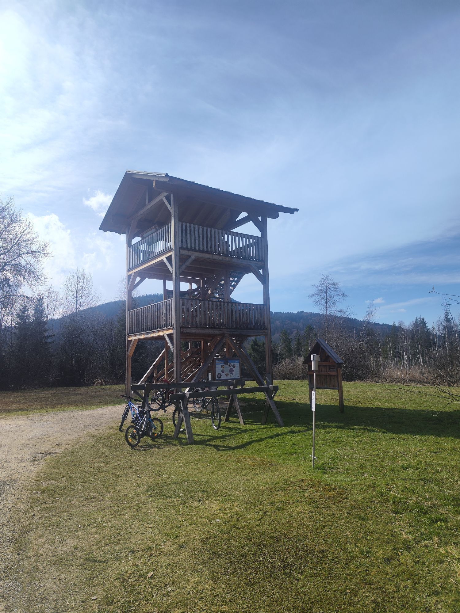
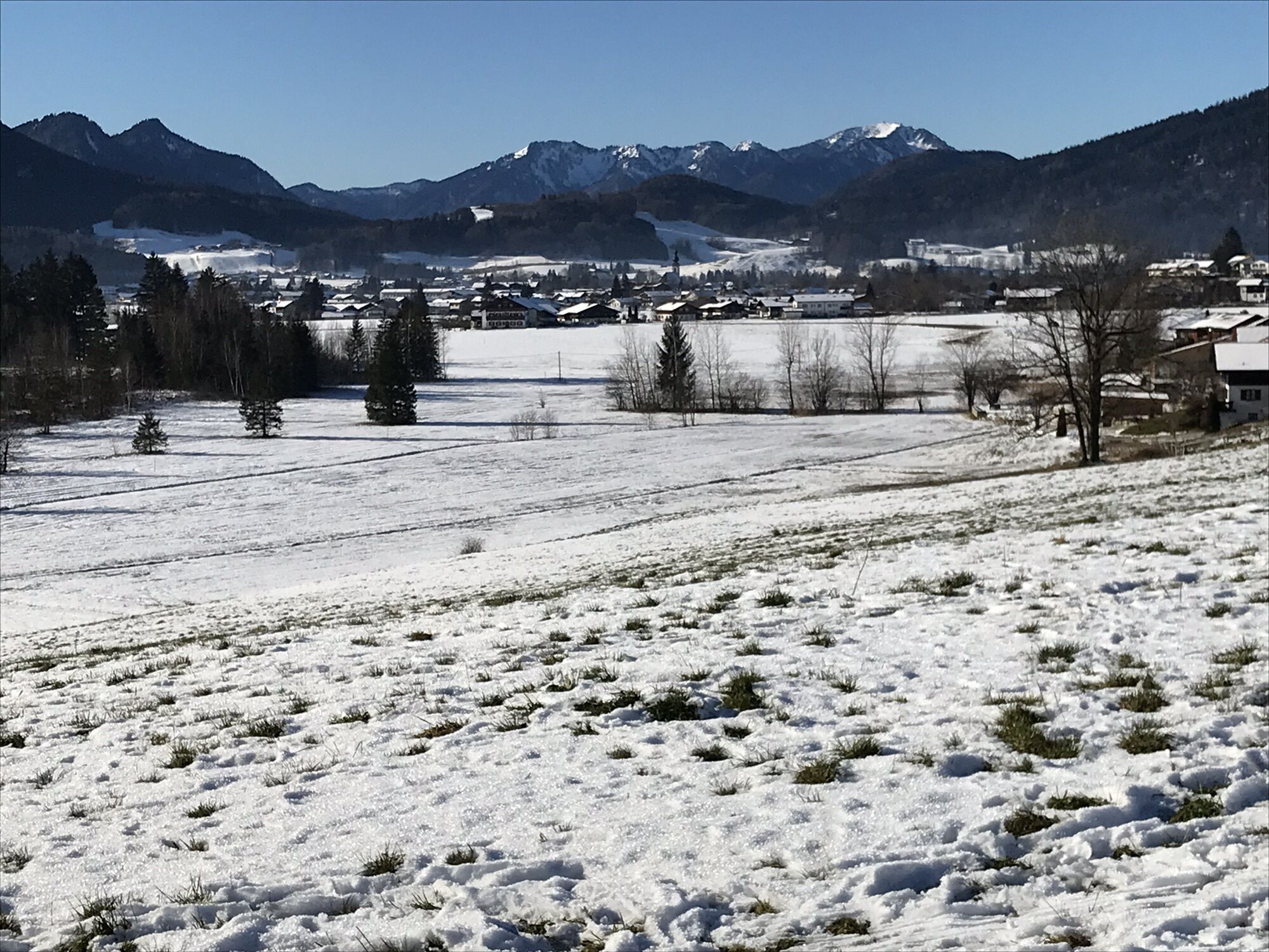
In Einsiedl, we keep left and cross the Rote Traun at Eck. After leaving Teisenberg and Brenner behind us, we enjoy the wonderful view of Inzell from the viewpoint. Then we go left through Unterrain and after crossing the federal road, we reach the snow-covered Inzeller Moor and the Rote Traun, which leads us back to Inzell.
Áno
Day hiking backpack (approx. 20 liters) with rain cover, comfortable and waterproof winter boots or sturdy hiking boots, if applicable crampons and gaiters, warm and weatherproof clothing in layers, hat/headband, scarf, gloves, sun and rain protection, provisions and drinking water, thermos flask with hot drink, first aid kit, pocket knife, mobile phone, headlamp if applicable, maps, trekking poles if applicable
Winter hiking boots must above all be well insulated and have a slip-resistant sole. They should also provide good support for the foot while allowing freedom of movement in the right places. The shoe store ‘Gams’ in Inzell specializes in sports and mountain sports and offers competent and expert advice.
Via the Munich - Salzburg motorway (A8), exit 112 Inzell at km 99 - Traunstein/Siegsdorf. Via federal road 306 through the charming Chiemgau landscape, 11 km to Inzell. The tourist service is located in the town center.
The bus station in Inzell is served by lines 9506, 9526, and 9535. The Flixbus also stops at this station.
Parking spaces are available at the tourist service.
1
We take responsibility for nature. If animals and plants could speak, they would say thank you. Thanks to all hikers who always stay on the marked paths and avoid shortcuts. It goes without saying that litter is not left behind and protected areas are respected.
Everyone has their own pace and preferences when hiking, so the hiking routes in Inzell can be individually combined or shortened. Map material is also available at the guest info. And if you really run out of steam on the way, there's still the local bus line.
Obľúbené výlety v okolí
-
4,3
Staufen-Bergtour
strednáTuristika 14,1 km -
4,9
Dötzenkopf Rundweg
strednáTuristika 6,73 km -
4,6
Unternberg
svetloTuristika 9,20 km -
4,4
Alpgarten-Rundweg
Turistika 2,93 km -
4,8
Pidinger Klettersteig mit Umweg im Abstieg
ťažkéVia ferrata 15,0 km -
3,3
Zwiesel-Runde
Turistika 11,0 km -
4,4
Hochstaufen
ťažkéTuristika 7,59 km -
4,9
Frillensee round from Adlgaß
Turistika 5,82 km -
4,6
CHIEMGAU: Hörndlwand (1684m), Gurnwandkopf (1691m)
svetloTuristika 12,6 km -
4,7
Jochberg - Zwiesel
svetloTuristika 4,12 km

Turistika a stopovanie


Nenechajte si ujsť ponuky a inšpiráciu na ďalšiu dovolenku
Vaša e-mailová adresa bol pridaný do poštového zoznamu.