







Inzell Kesselalm round
Úroveň náročnosti: 1
This peaceful winter hike starts and ends at the Kesselalm. It leads through a wintery mixed forest, over open clearings, small hills, and past hamlets. The route is rather leisurely, only a short climb...
This peaceful winter hike starts and ends at the Kesselalm. It leads through a wintery mixed forest, over open clearings, small hills, and past hamlets. The route is rather leisurely, only a short climb at the end. In return, the Kesselalm awaits with many fine delicacies. On the way, the Salinenplatzerl with the historic wooden pipes is a nice place to rest. These wooden pipes used to transport brine from Bad Reichenhall via Inzell to Traunstein.

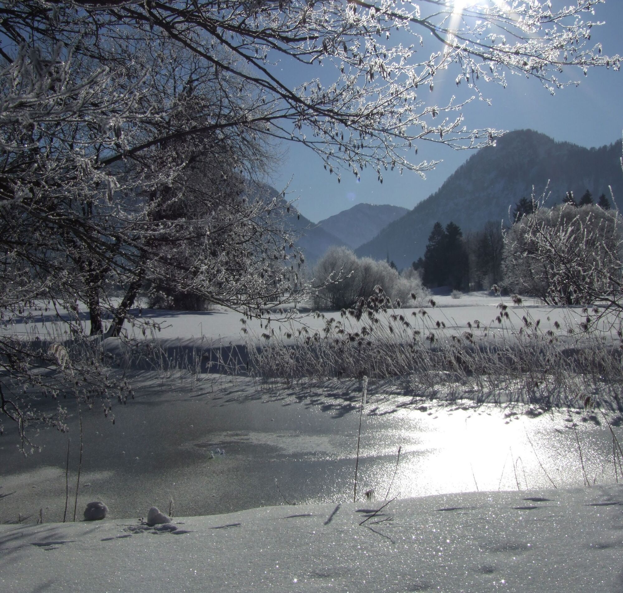
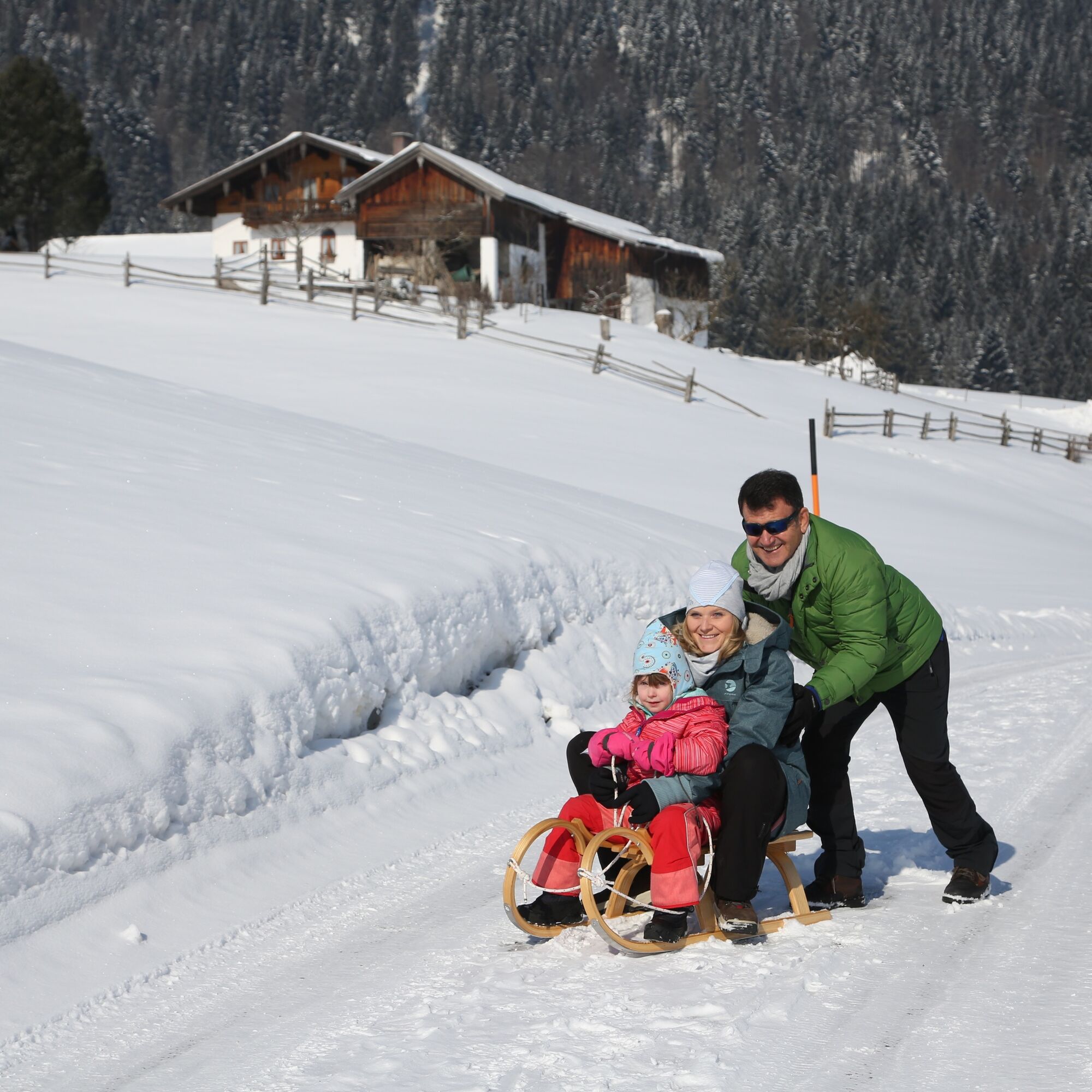
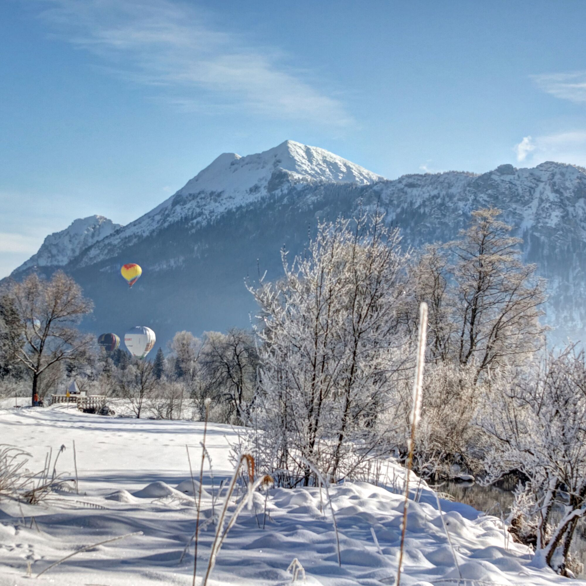
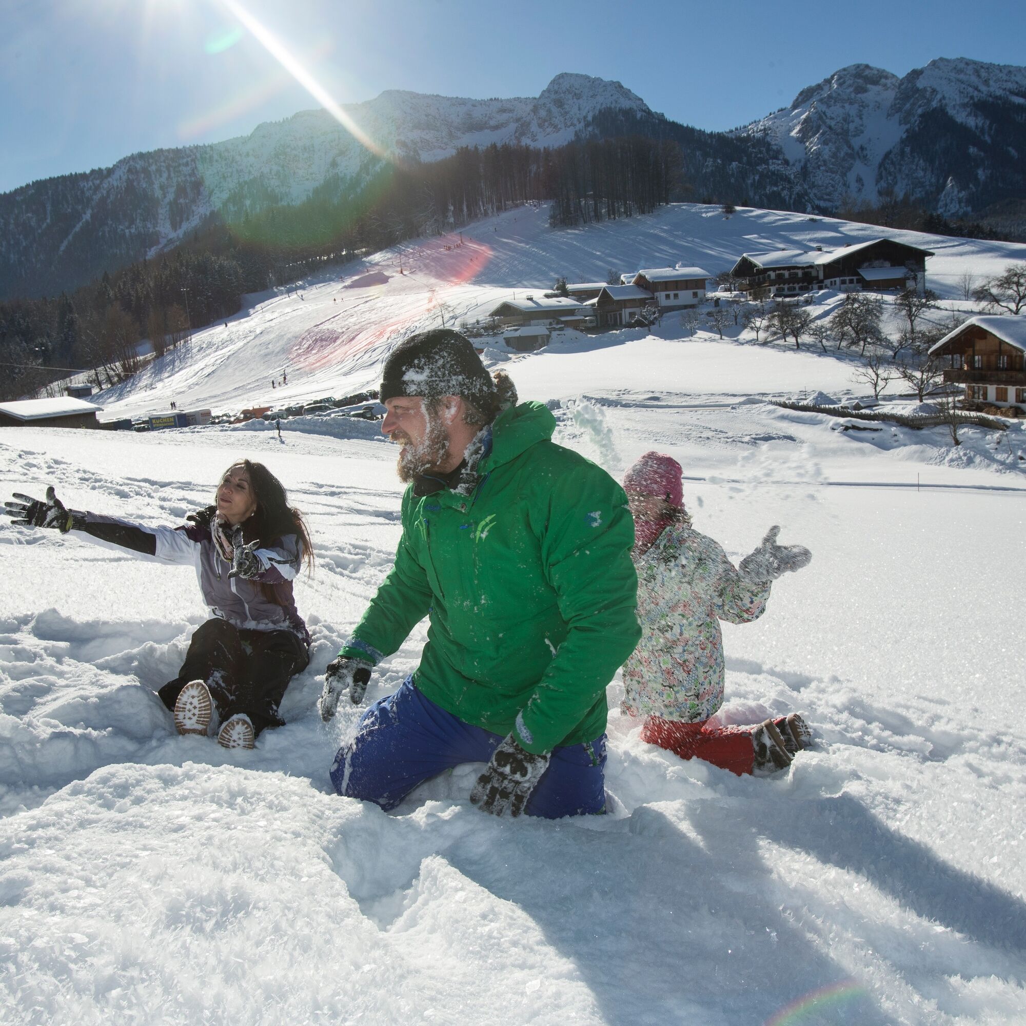
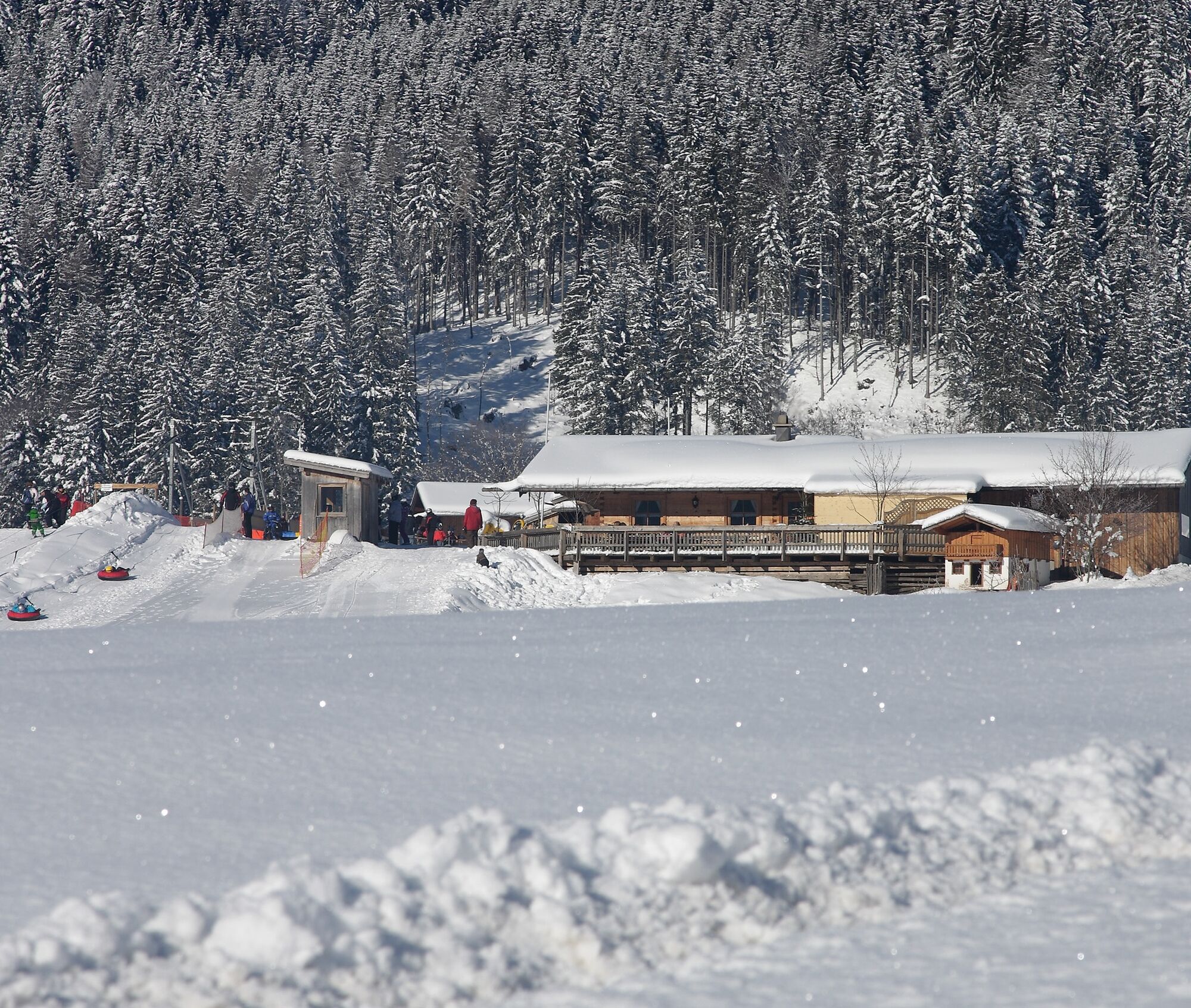

At the Kesselalm we start the hike towards Gschwendt and follow the path through a small forest area to the small hamlet “Wald.” Upon reaching the road, we turn right and follow the course of the Rote Traun to Niederachen. Just before reaching the small village, we turn right and return via Keitl to the starting point of the route.
Áno
Day hiking backpack (approx. 20 liters) with rain cover, comfortable and waterproof winter shoes or sturdy hiking boots, possibly crampons and gaiters, warm and weatherproof clothing in layers, hat/headband, scarf, gloves, sun and rain protection, provisions and drinking water, thermos flask with hot drink, first-aid kit, pocket knife, mobile phone, possibly headlamp, map material, possibly telescopic poles
Winter hiking boots must above all be well insulated and have a non-slip sole. They should also give the foot good support while allowing freedom of movement in the right places. The shoe shop “Gams” in Inzell specializes in sports and mountain sports and provides competent and expert advice.
Via the Munich - Salzburg motorway (A8), exit 112 Inzell at km 99 - Traunstein/Siegsdorf. Via federal road 306 through the charming Chiemgau landscape, 11 km to Inzell. In the town keep right and drive towards Niederachen. Upon reaching the small village of Brand, turn right and follow the road to the lifts.
There is a parking lot at the Kessellift.
1
We bear responsibility for nature. If animals and plants could speak, they would say thank you. Thanks to all hikers who always stay on the marked paths and avoid shortcuts. It is a matter of course that no litter is left behind and protected areas are respected.
When hiking, everyone has their own pace and preferences, which is why the hiking routes in Inzell can be individually combined or shortened. Map material is also available at the guest information. And if you really run out of breath along the way, there is always the village bus service.
Získajte prehľad
Vždy naživo na mieste s viac ako 9 500 webovými kamerami. bergfex Ako používateľ Pro si teraz môžete pozrieť príslušné webové kamery pre mnohé zájazdy v aplikácii zájazdy z. Môžete si tak priamo prezerať aktuálne podmienky.
Obľúbené výlety v okolí
-
4,4
Staufen-Bergtour
strednáTuristika 14,1 km -
4,5
Alpgarten-Rundweg
Turistika 2,93 km -
4,9
Dötzenkopf Rundweg
strednáTuristika 6,95 km -
4,8
Atemberaubende Aussicht auf dem Dürrnbachhorn
strednáTuristika 8,44 km -
4,9
Frillensee round from Adlgaß
Turistika 5,82 km -
4,7
CHIEMGAU: Hörndlwand (1684m), Gurnwandkopf (1691m)
svetloTuristika 12,6 km -
4,7
Pidinger Klettersteig mit Umweg im Abstieg
ťažkéVia ferrata 15,0 km -
4,7
Jochberg - Zwiesel
svetloTuristika 4,12 km -
4,4
Unternberg
svetloTuristika 9,20 km -
4,4
Hochstaufen
ťažkéTuristika 7,59 km
Turistika a stopovanie


Nenechajte si ujsť ponuky a inšpiráciu na ďalšiu dovolenku
Vaša e-mailová adresa bol pridaný do poštového zoznamu.





