






Gantrisch Königsroute (SchweizMobil 502)
Úroveň náročnosti: S3
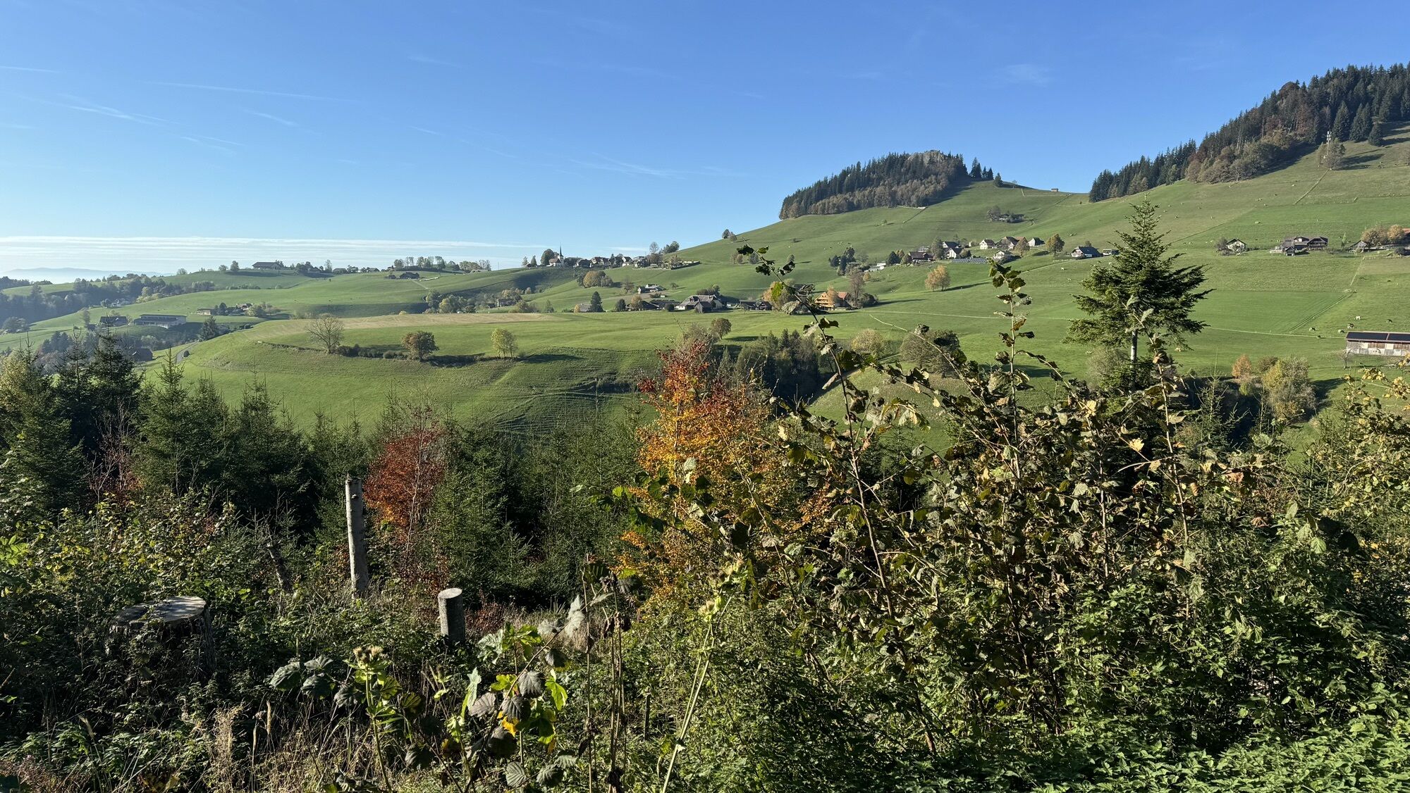
The start is in Riffenmatt. After an initial ascent, the route passes the old moor baths. The Schwarzwasser is crossed in the Tröligraben. A descent leads down to Eywald, which is also an alternative starting...
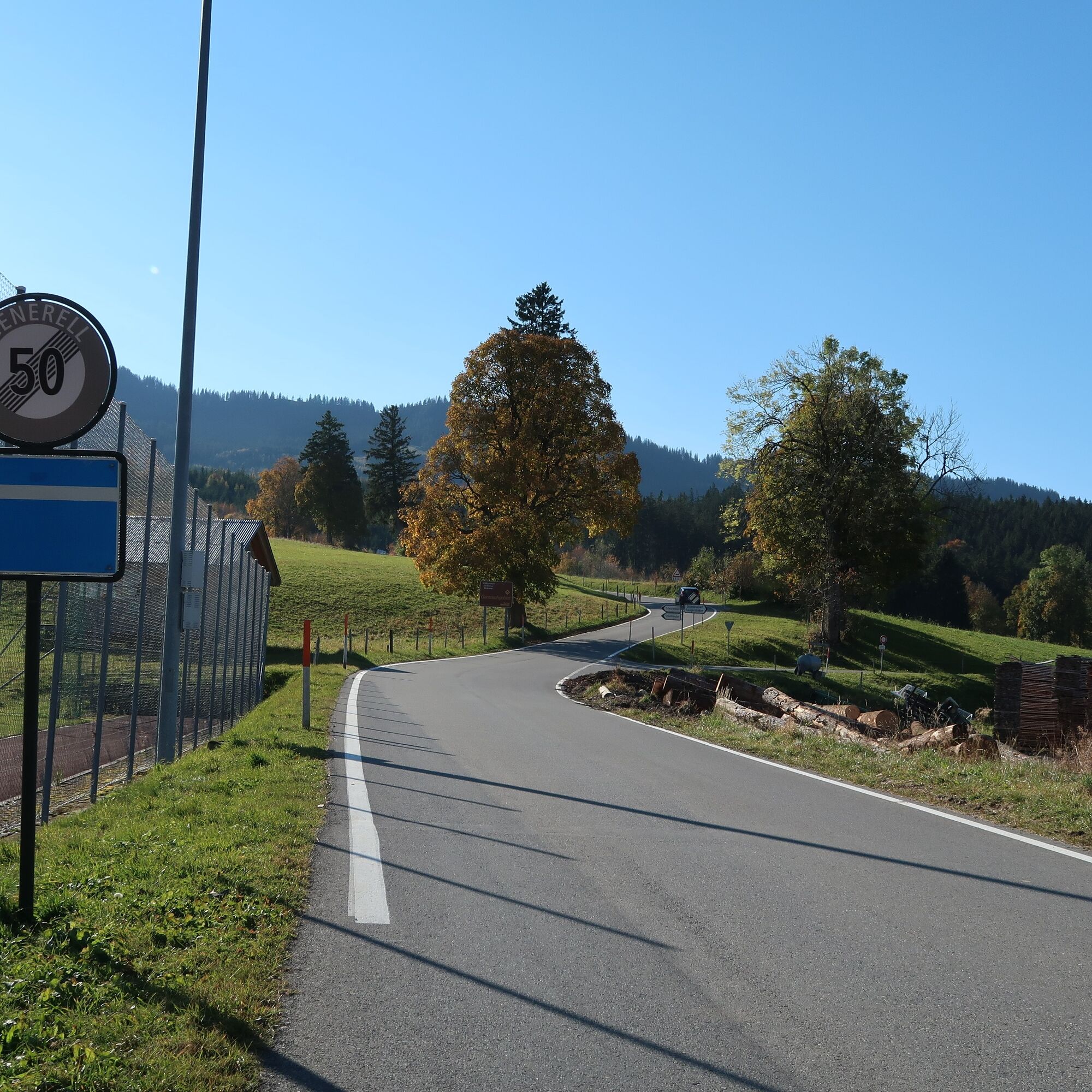
The start is in Riffenmatt. After an initial ascent, the route passes the old moor baths. The Schwarzwasser is crossed in the Tröligraben. A descent leads down to Eywald, which is also an alternative starting point for the circular route. First on an asphalted alpine path, later from Schleifgraben on natural paths, the route steadily climbs to 1,540 m above sea level.
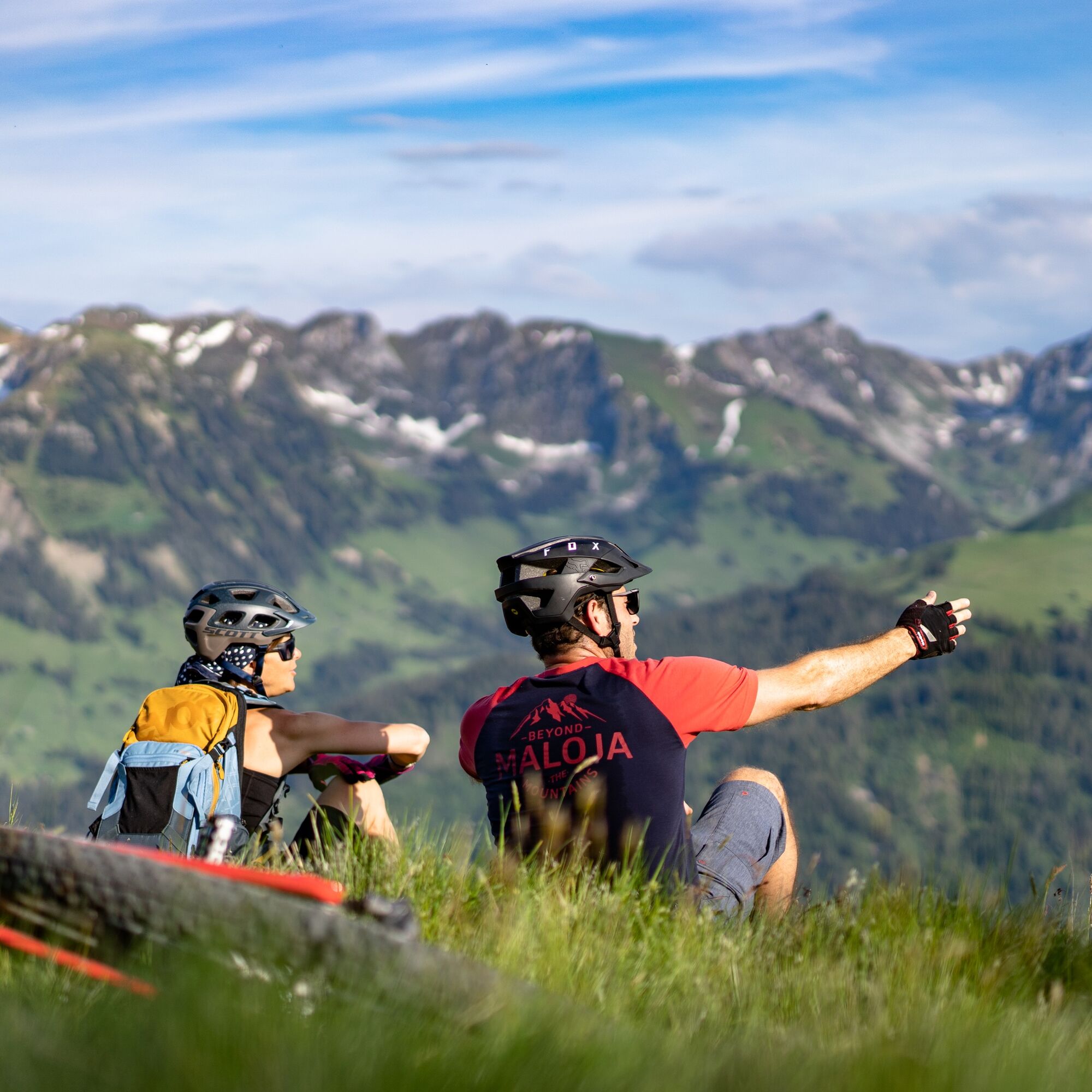
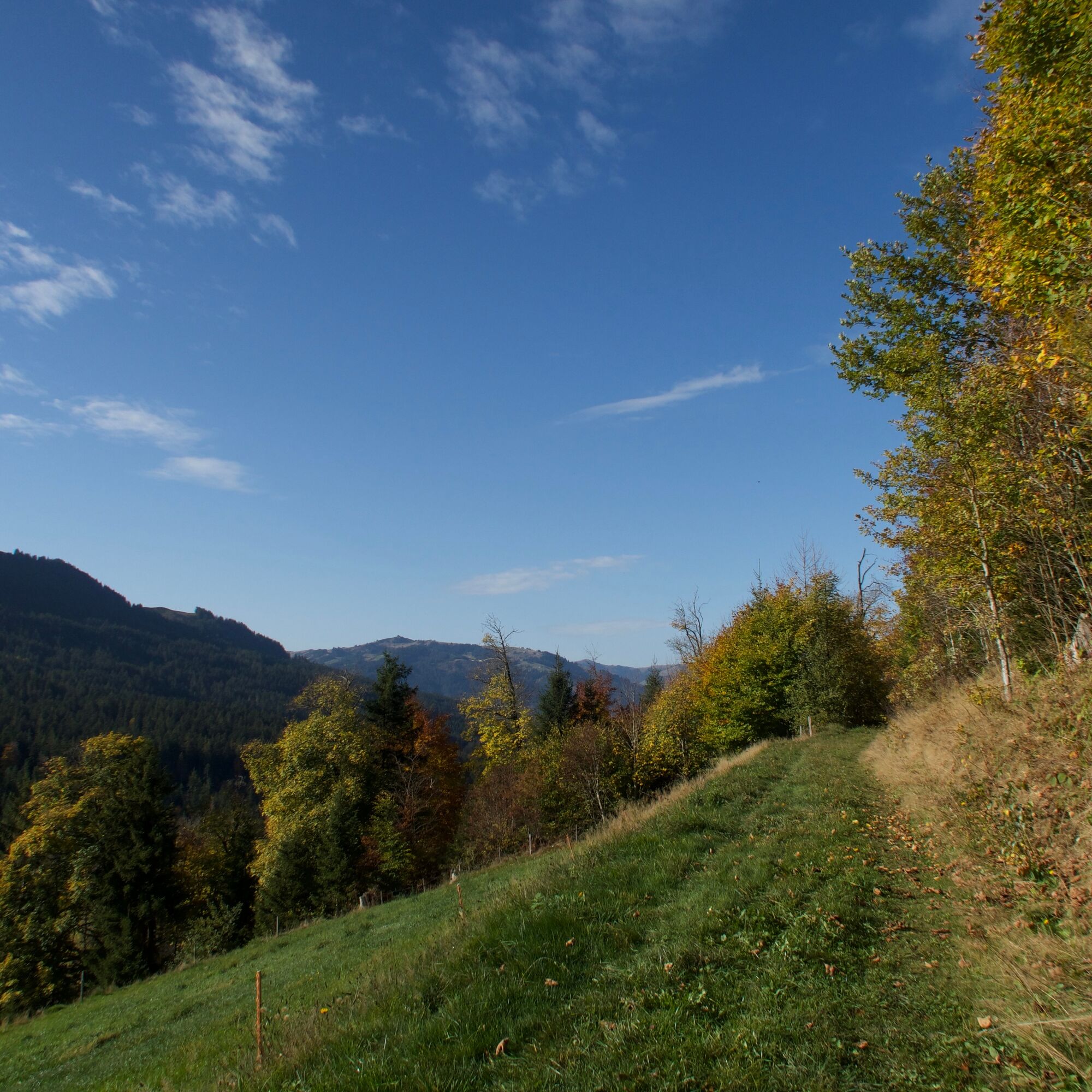
A forest path leads across to the Selital area. After an easy start, the steep ascent to the Horbüel Pass follows. The subsequent varied and demanding section over forest paths and alpine pastures truly deserves the name "Königsroute". At Hällstett, the view opens over the entire Central Plateau to the Jura. Those who do not have the courage to tackle the following descent on the old mule track can also go on foot. This is followed by a very long and spectacular descent over stony alpine and forest paths before a final asphalted section leads back to Riffenmatt.

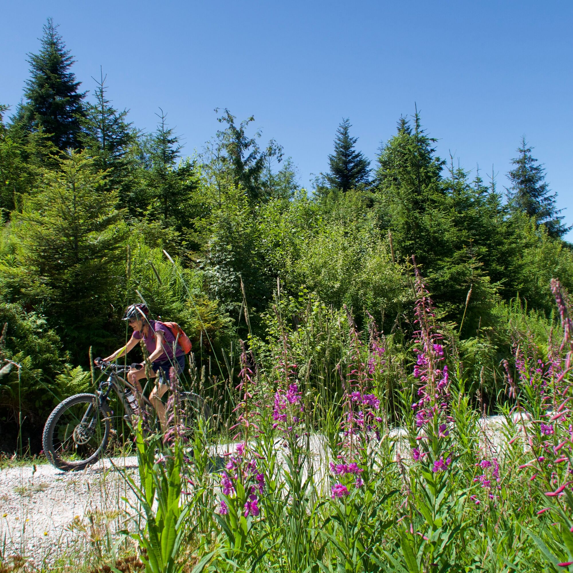
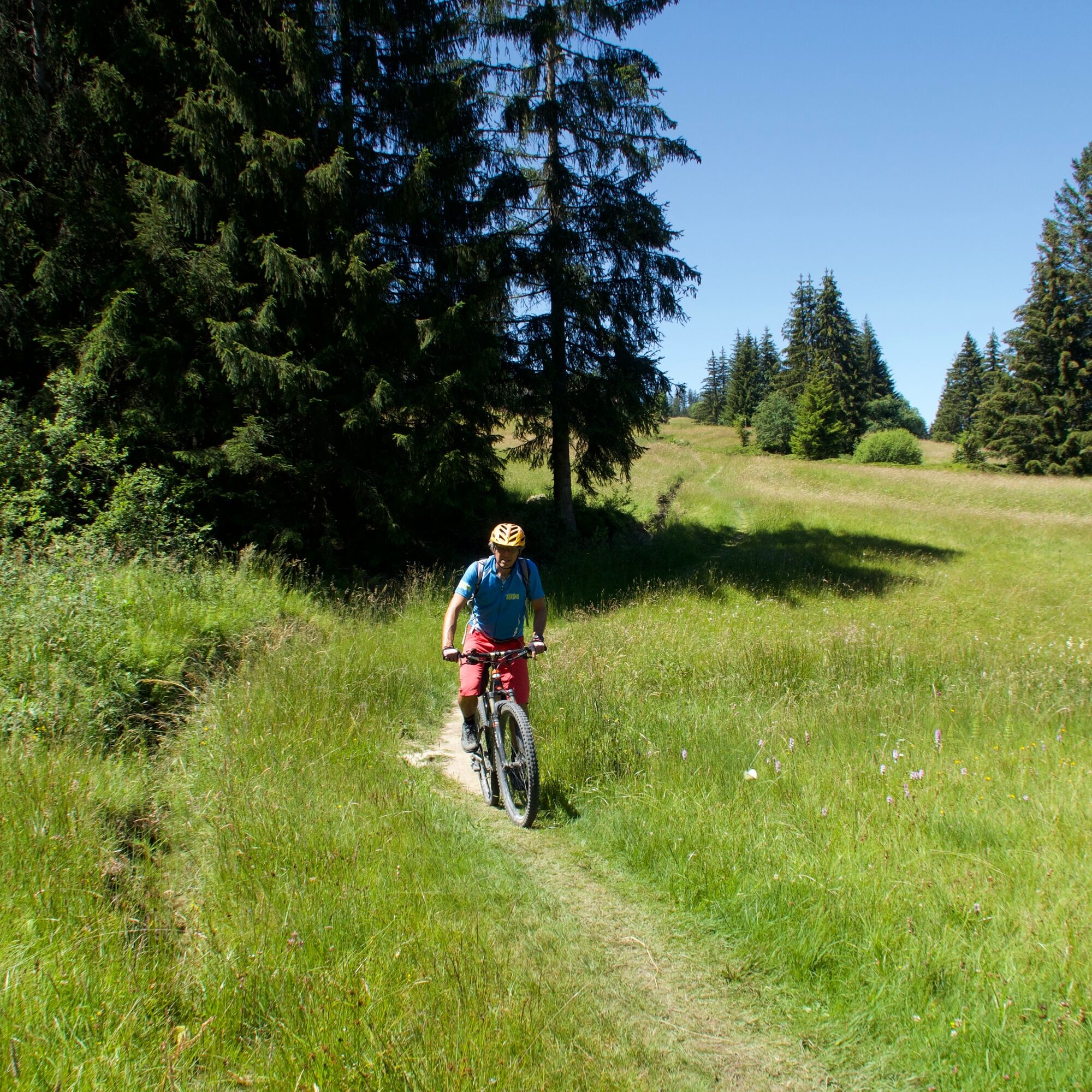
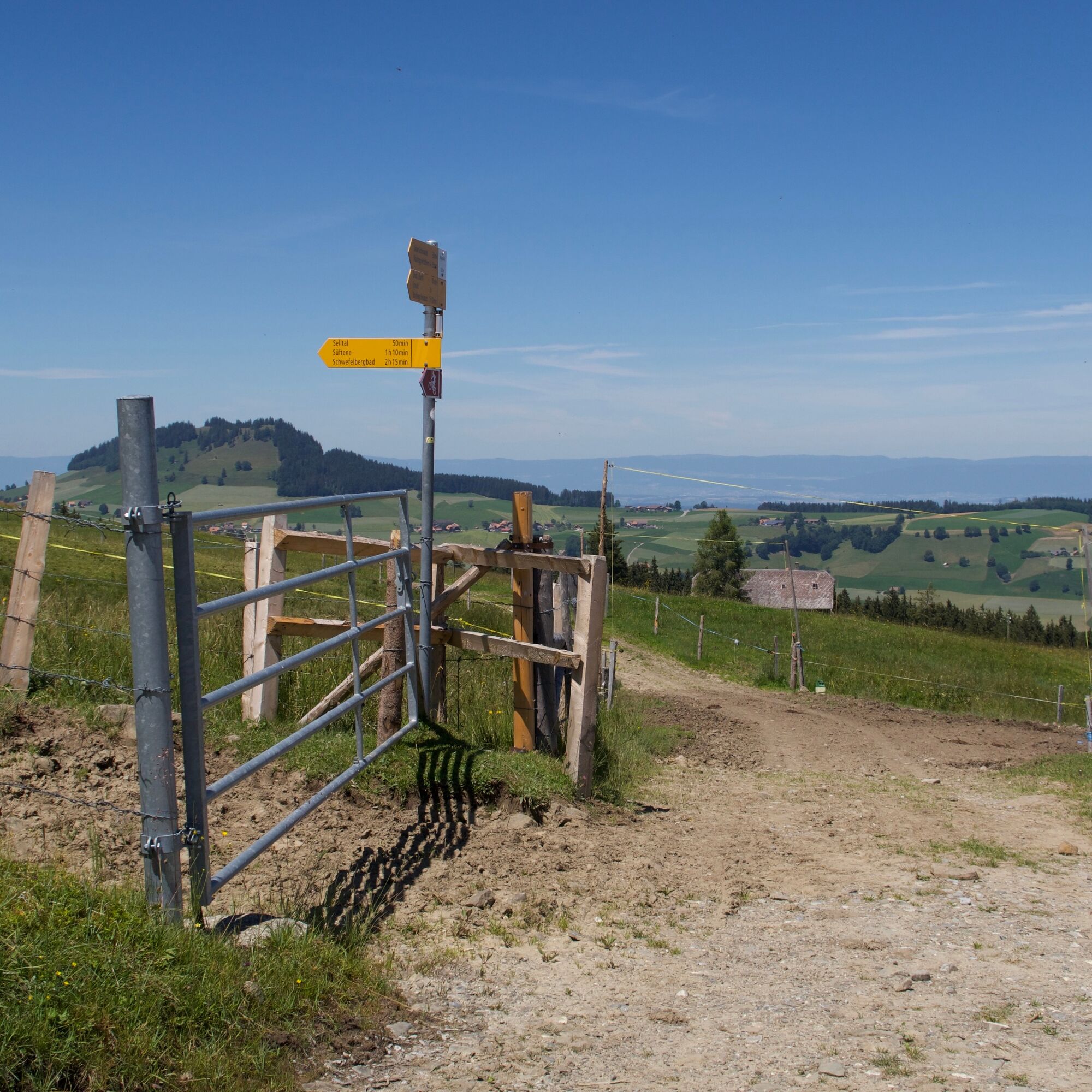
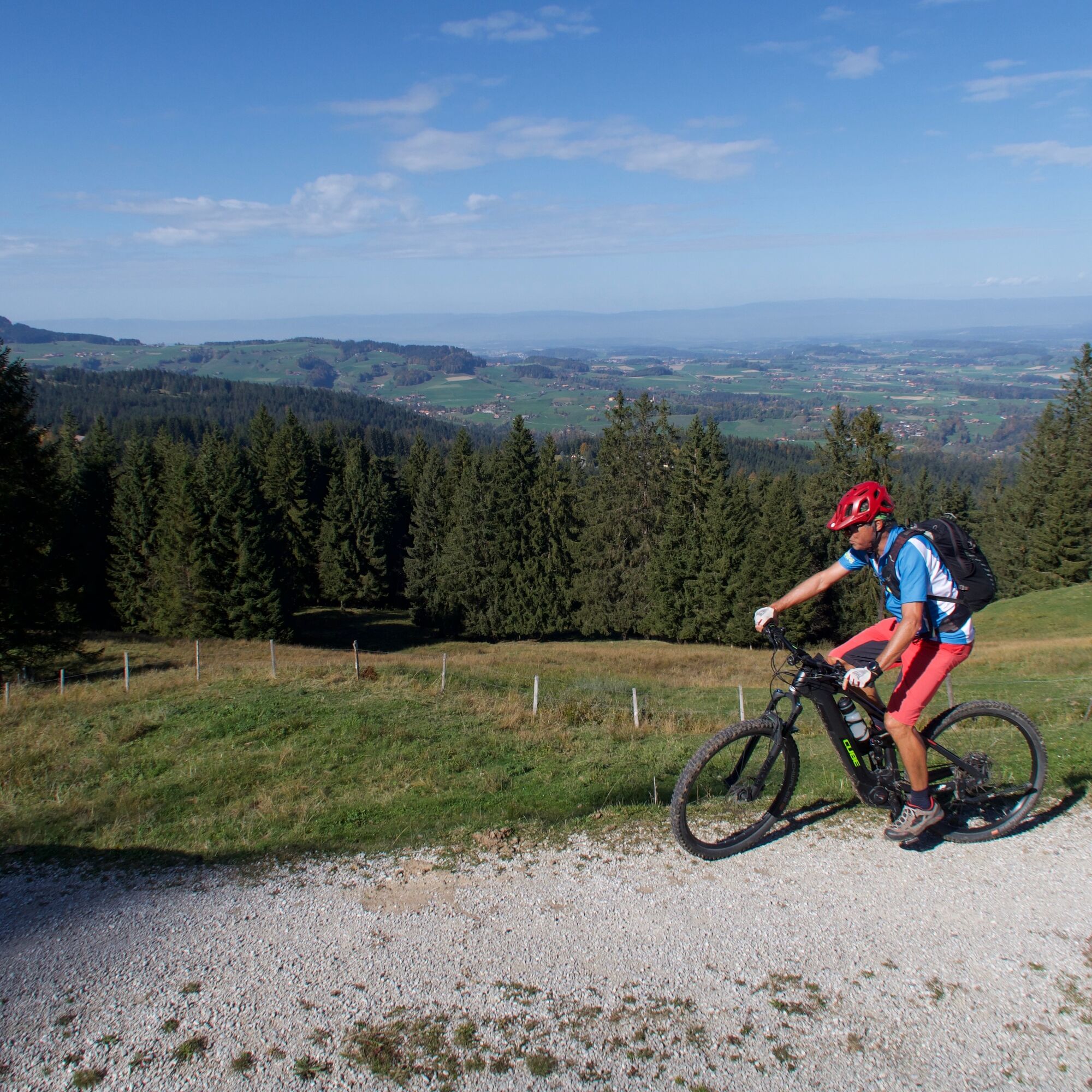
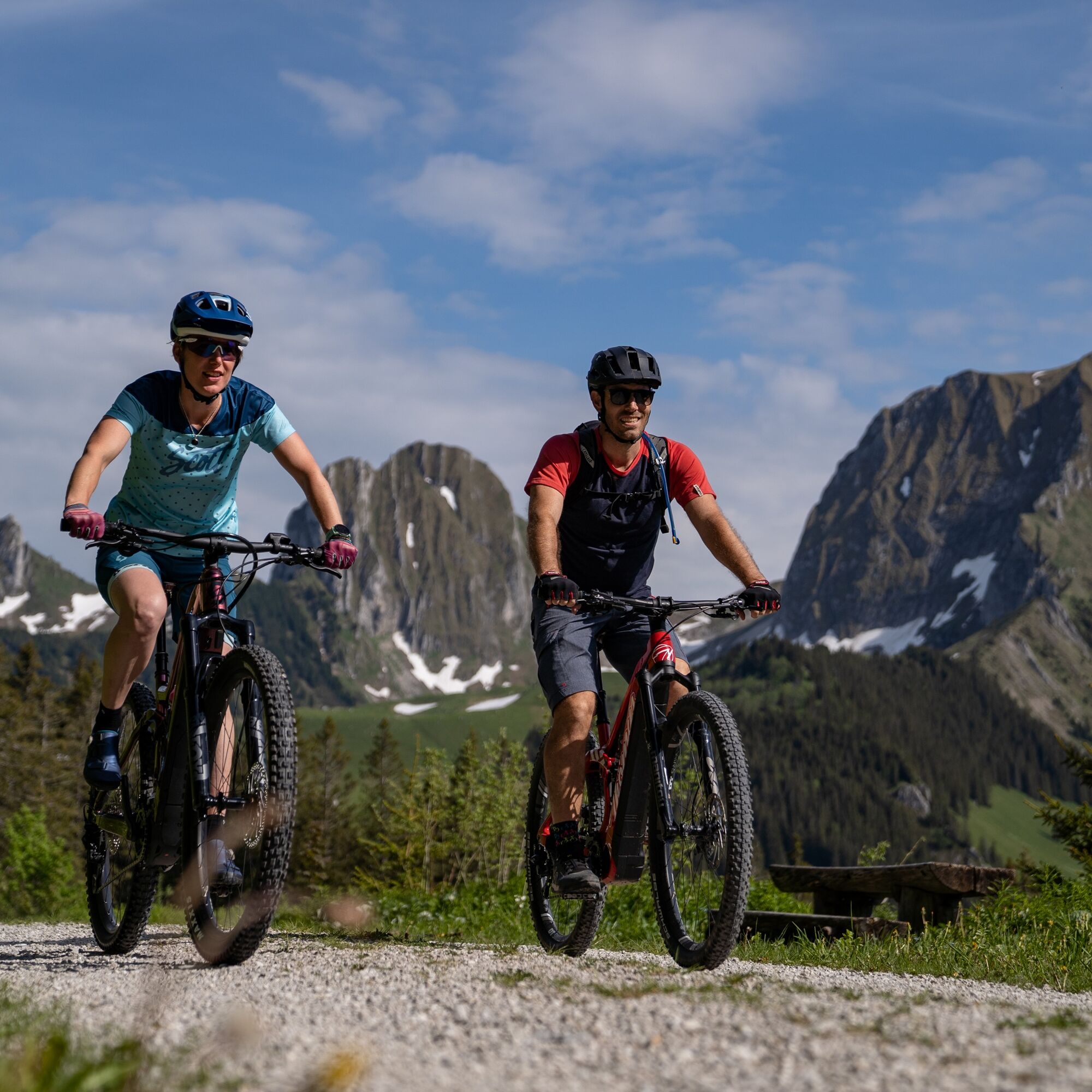
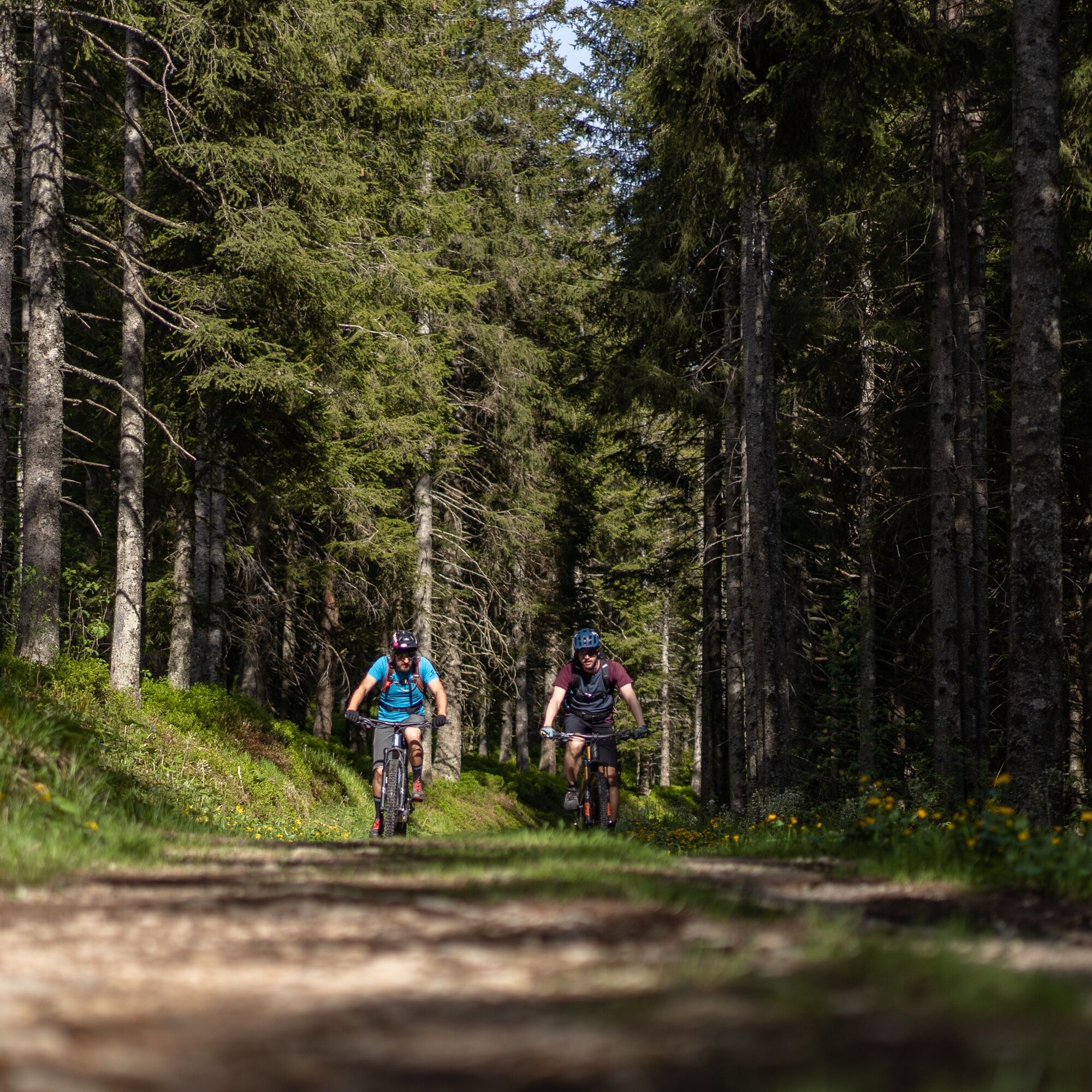
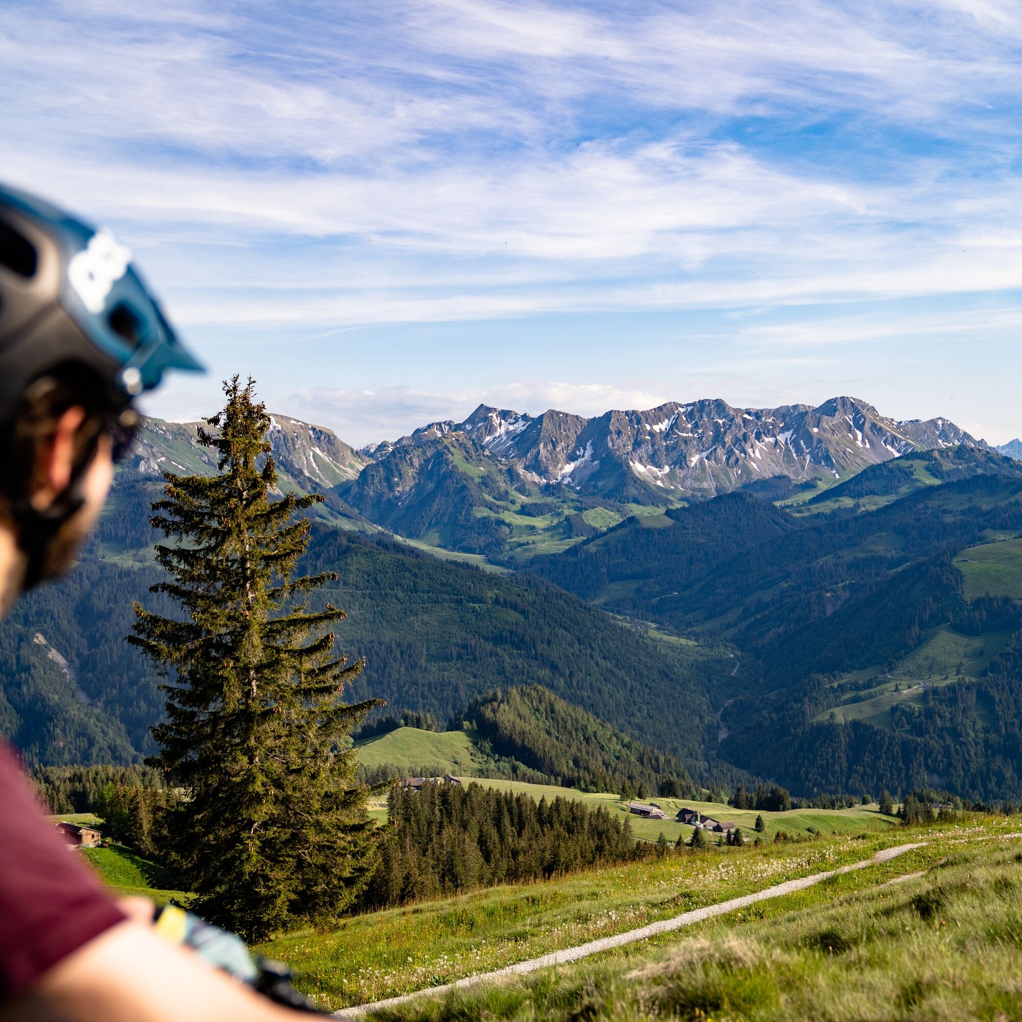
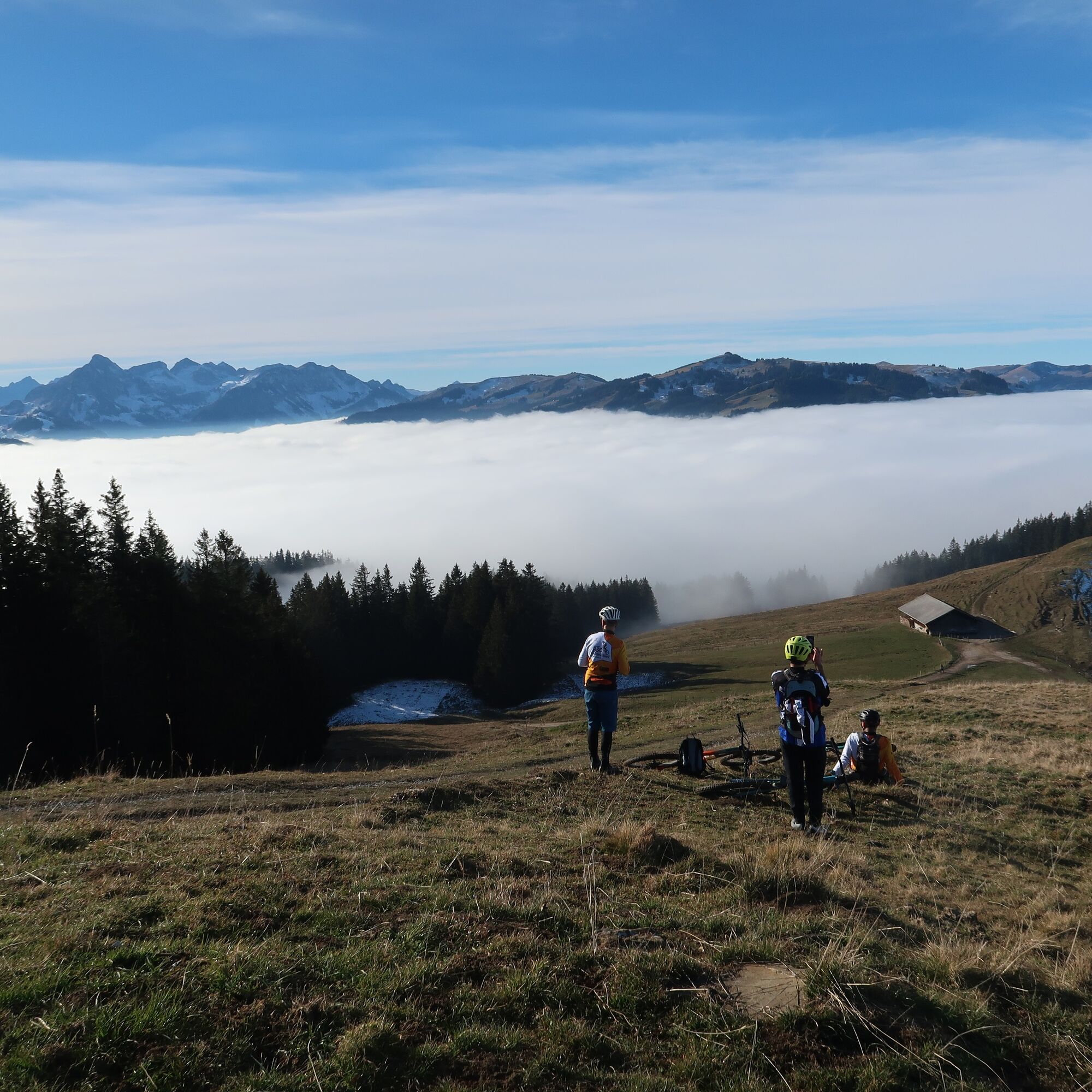
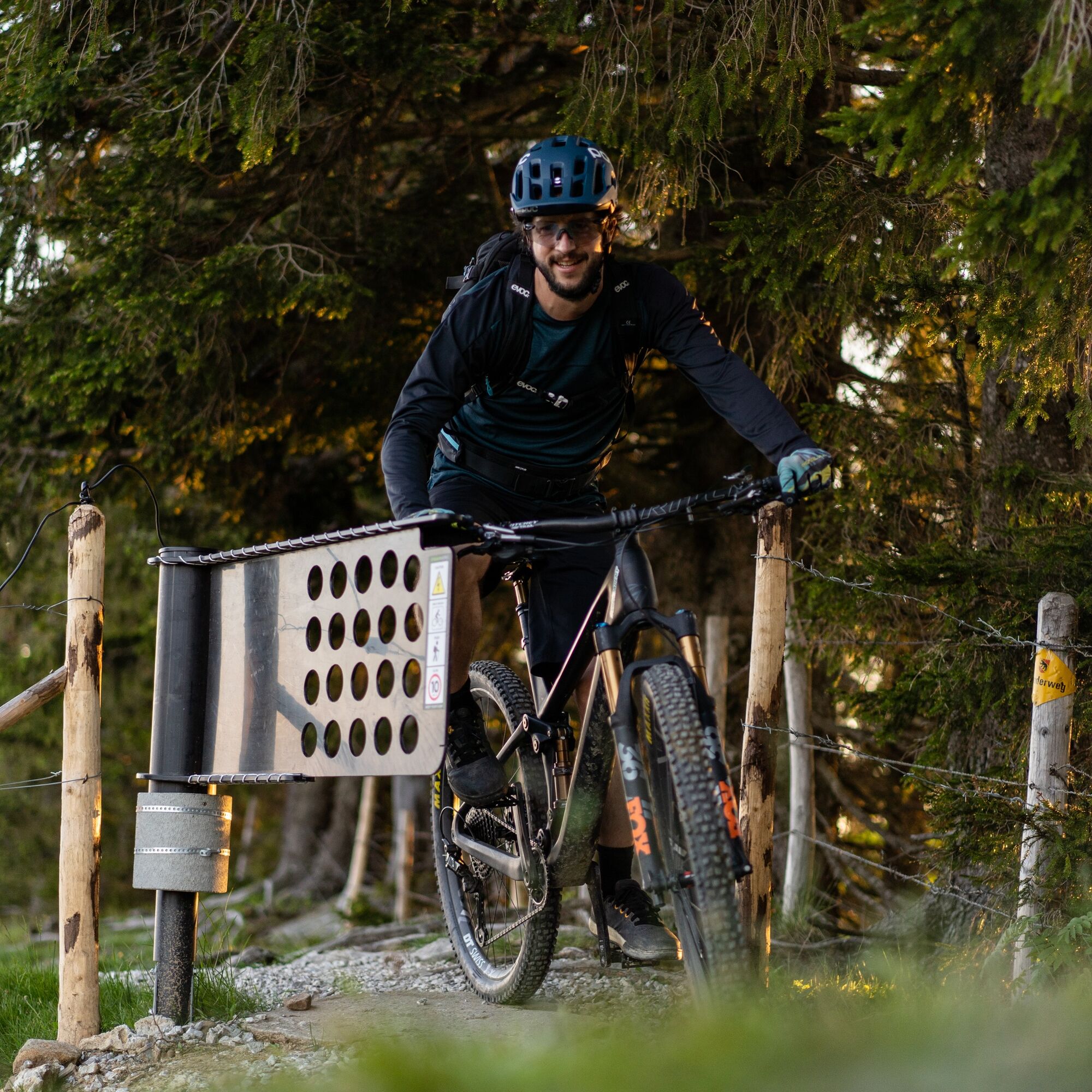
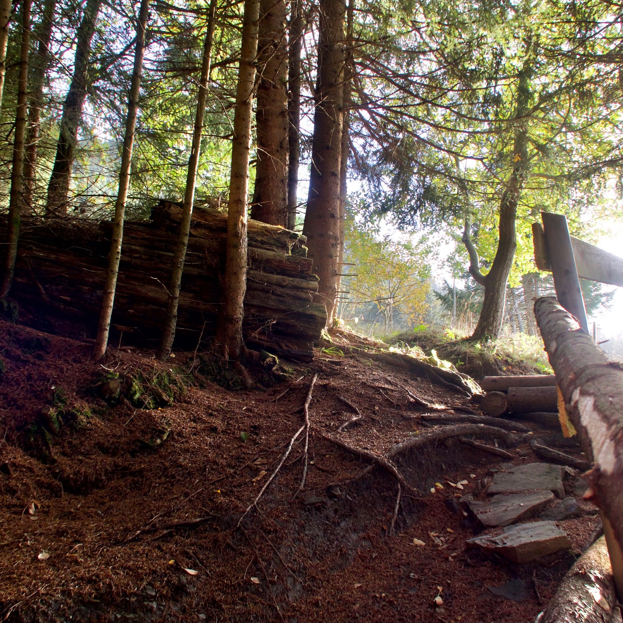
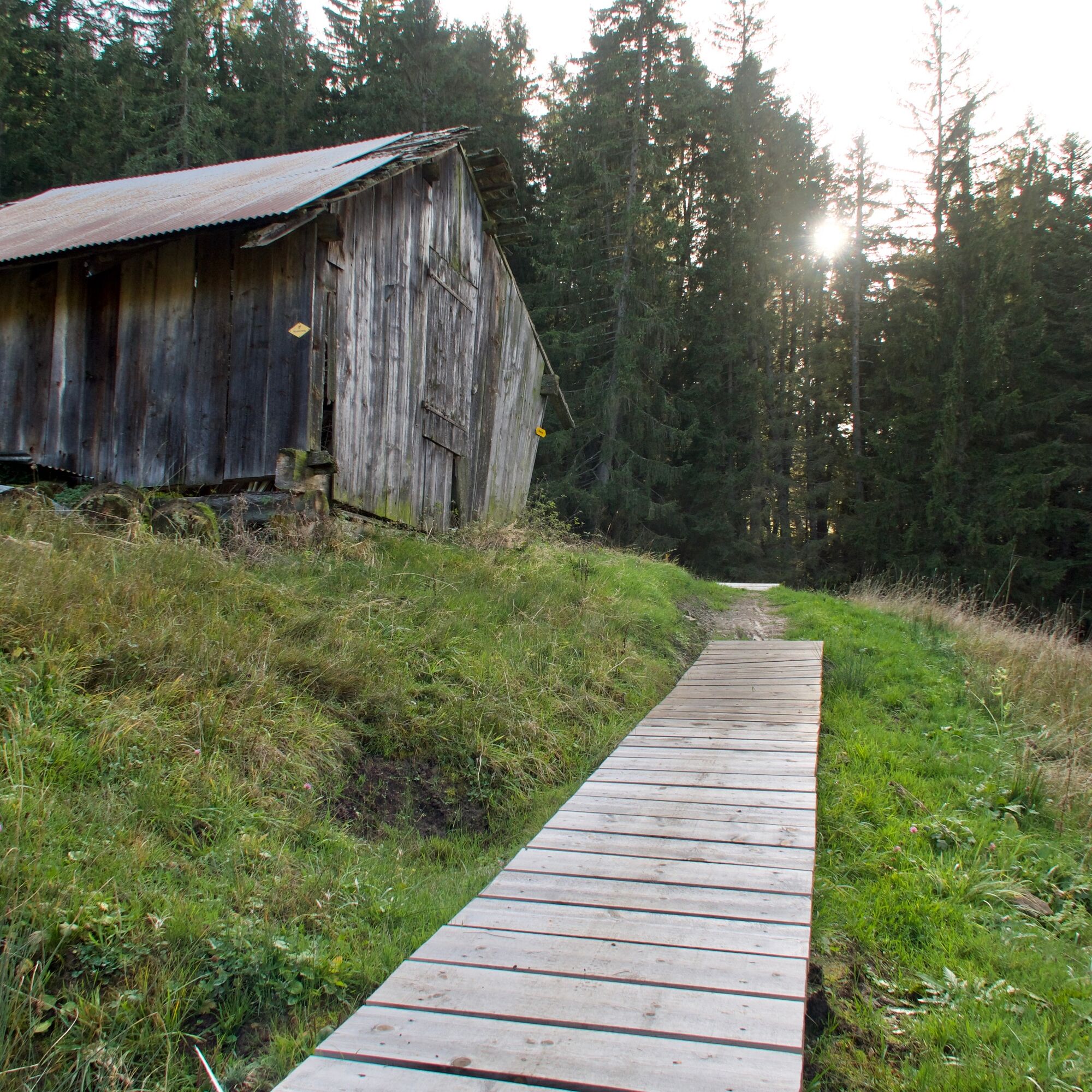

The route is only signposted clockwise
Normal bike equipment
If interested, mountain bikes can be rented from one of our partners.
Bike and cycling shops in the nature park
S3
 Získajte prehľad
Vždy naživo na mieste s viac ako 9 500 webovými kamerami. bergfex Ako používateľ Pro si teraz môžete pozrieť príslušné webové kamery pre mnohé zájazdy v aplikácii zájazdy z. Môžete si tak priamo prezerať aktuálne podmienky.
Získajte prehľad
Vždy naživo na mieste s viac ako 9 500 webovými kamerami. bergfex Ako používateľ Pro si teraz môžete pozrieť príslušné webové kamery pre mnohé zájazdy v aplikácii zájazdy z. Môžete si tak priamo prezerať aktuálne podmienky.
Obľúbené výlety v okolí
-
4,5
Gantrisch Summit Hike, 2176 m elevation
strednáTuristika 9,13 km -
4,8
Wasserscheide - Gantrisch Seeli
svetloTuristika 9,33 km -
4,0
High-altitude hike Gurnigel - Stockhorn
strednáTuristika 11,2 km -
3,6
Breccaschlund Panorama Trail (Switzerland Mobility 267)
strednáTuristika 12,9 km -
5,0
Lake Schwarzsee circular route (SwitzerlandMobility 787)
svetloZimná turistika 4,10 km -
4,7
Schwarzsee-Rundgang Häxewääg
svetloTematická trasa 4,10 km -
4,7
Summit hike Ochsen, 2188 m.a.s.l.
strednáTuristika 7,94 km -
Patraflon & Schopfenspitz
strednáTuristika 15,1 km -
Riggisalp-Brecca-Schwarzsee Gypsera
strednáTuristika 10,1 km -
Schwarzsee - Patraflon - Pointe de Balachaux - Schopfenspitz - Combi - Stierenberg - Schwarzsee
strednáTuristika 14,8 km
Turistika a stopovanie


Nenechajte si ujsť ponuky a inšpiráciu na ďalšiu dovolenku
Vaša e-mailová adresa bol pridaný do poštového zoznamu.





