Navigácia na stránke
Získajte túto prehliadku v mobilnom telefóne
Mapa
Alpine panorama route stage 6 (SchweizMobil 4)

stredná
Cyklistika
54,45 km
Naskenujte kód QR a spustite navigáciu v aplikácii bergfex
QR Code
Turistika a stopovanie

Alpine panorama route stage 6 (SchweizMobil 4)

Vzdialenosť
54,4 km
Trvanie
04:20 h
Ascent
700 hm
Hladina mora
555 - 868 m

Úroveň náročnosti: 2

Stiahnutie skladby
Mapa
Alpine panorama route stage 6 (SchweizMobil 4)
stredná
Cyklistika
54,45 km

The largest part of the route runs through the Gantrisch Nature Park. The mountain range of the same name has lent its name to the region and the park. From the Bernese 'Chabisland' it goes to Schwarzenburg...

Opis

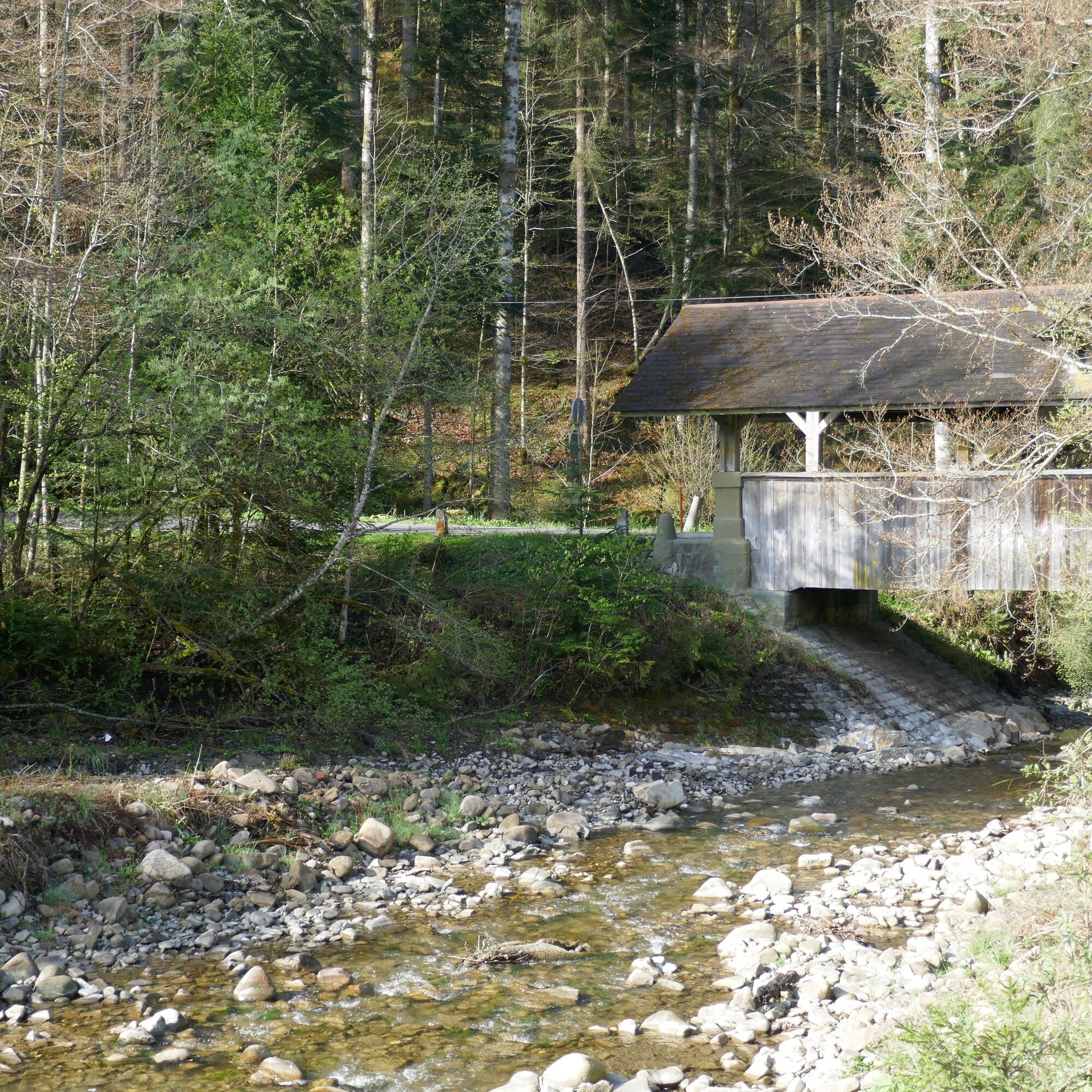
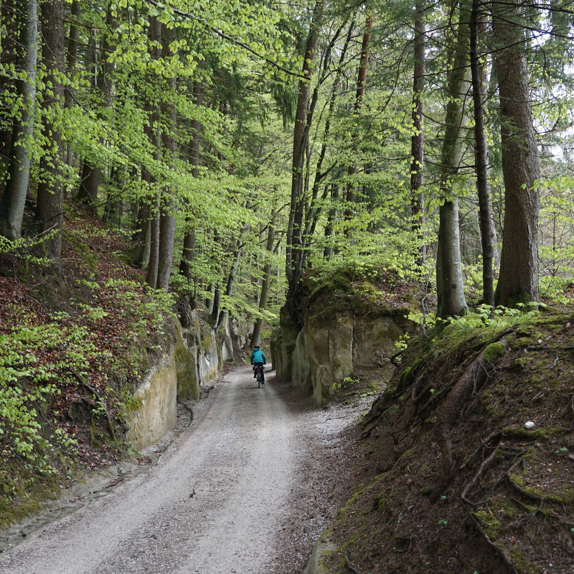
The largest part of the route runs through the Gantrisch Nature Park. The mountain range of the same name has lent its name to the region and the park. From the Bernese 'Chabisland' it goes to Schwarzenburg and over the deep Sense gorge into the canton of Fribourg.

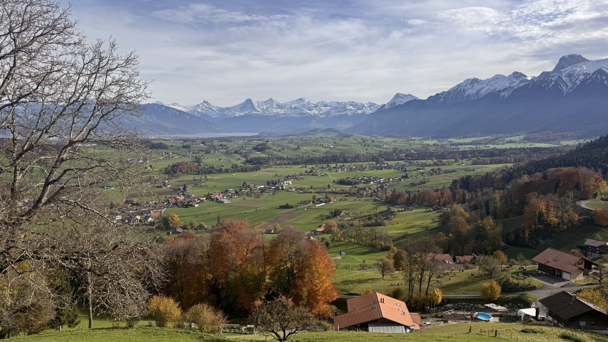
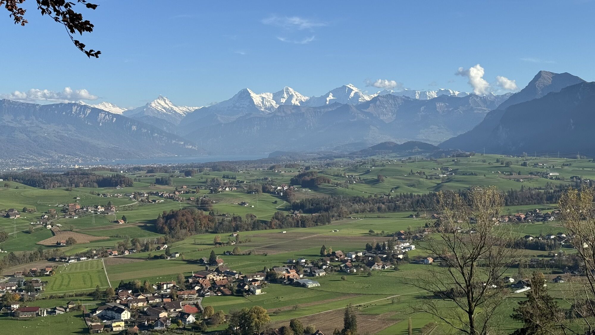
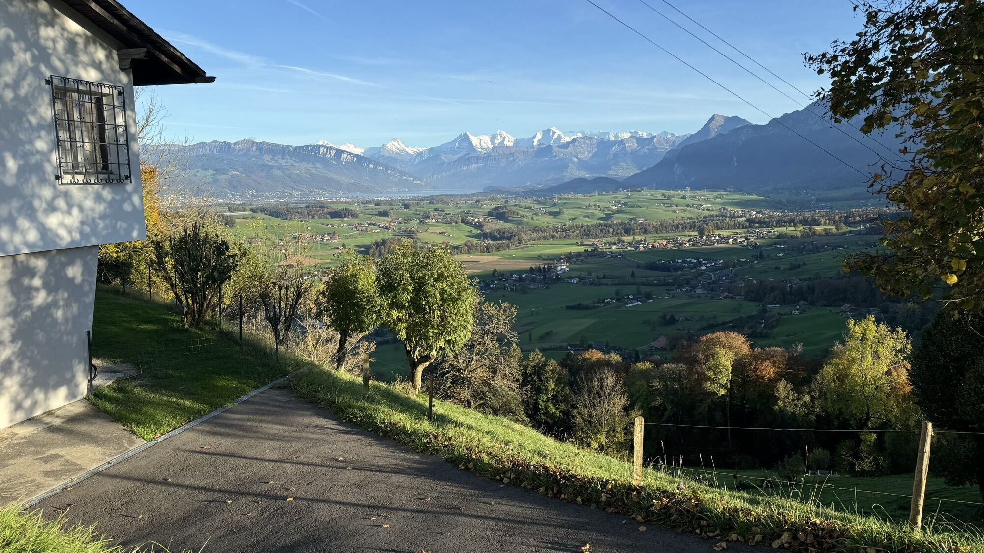
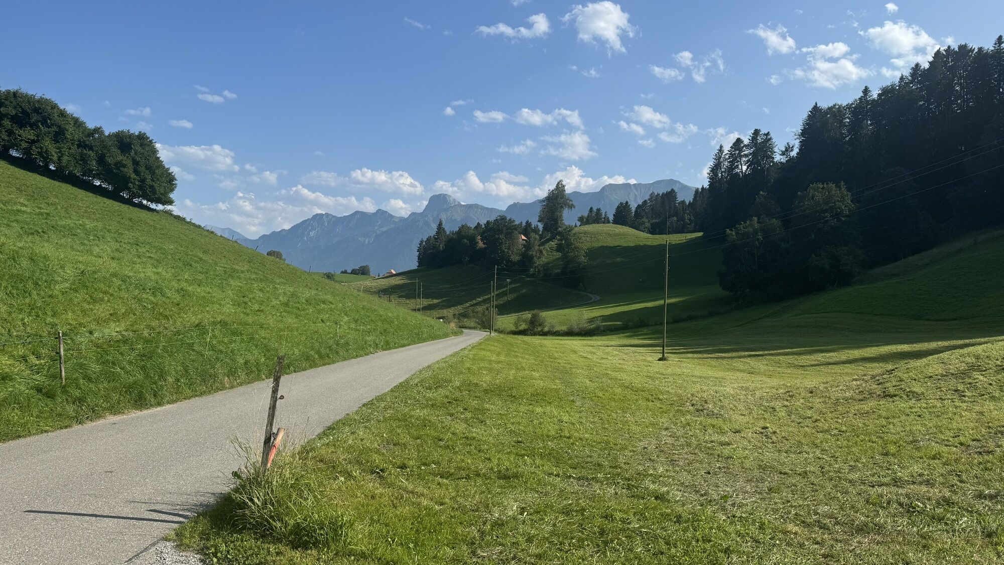
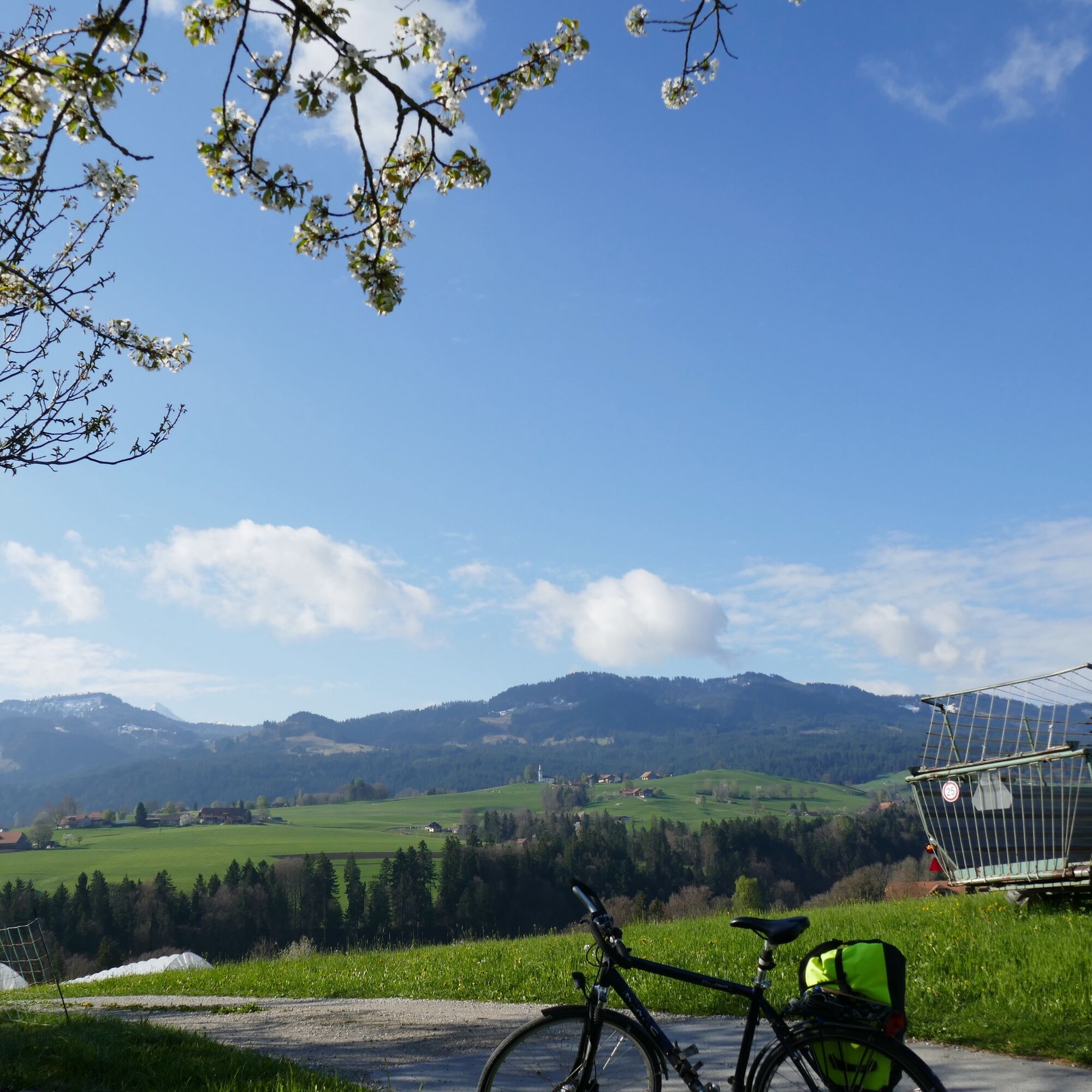
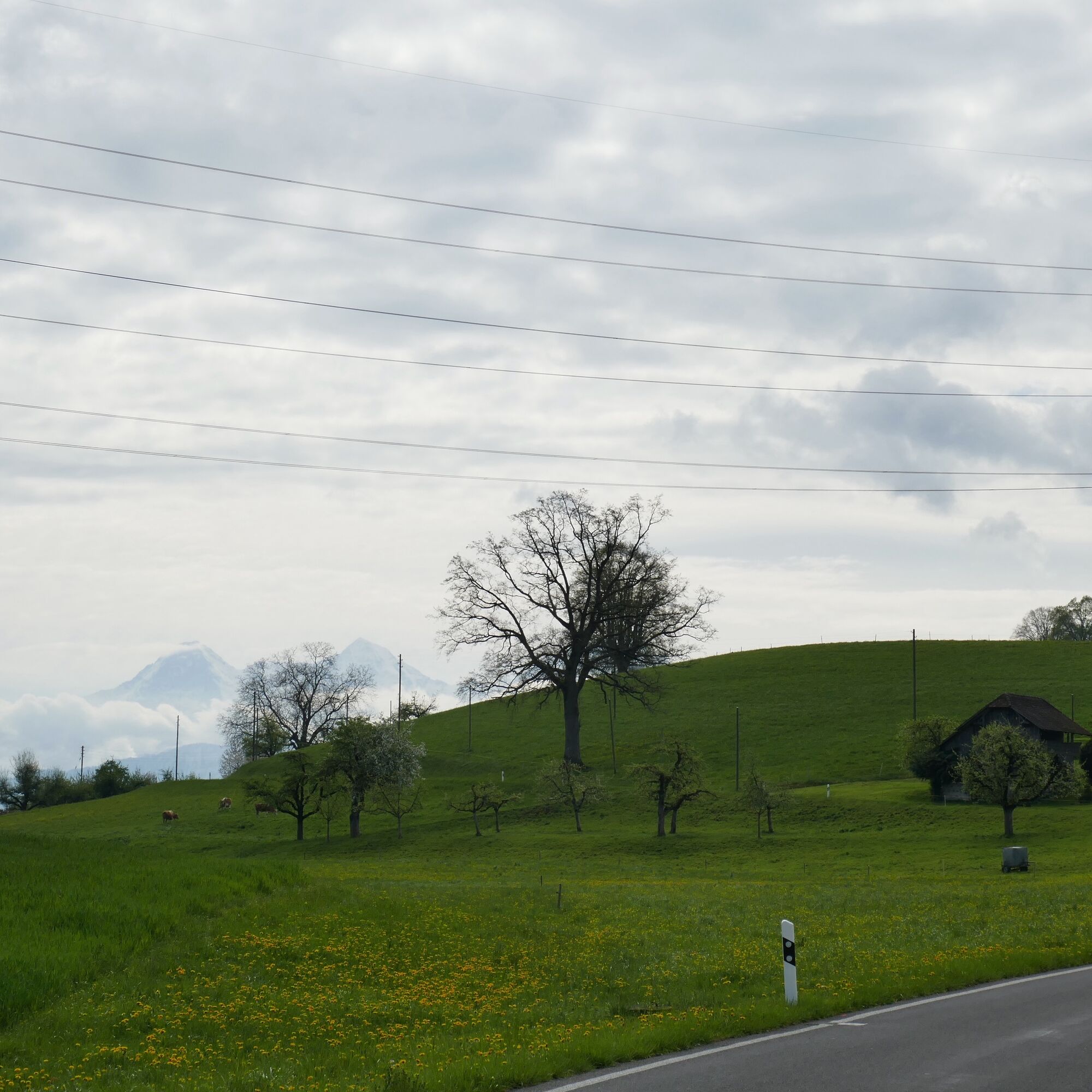
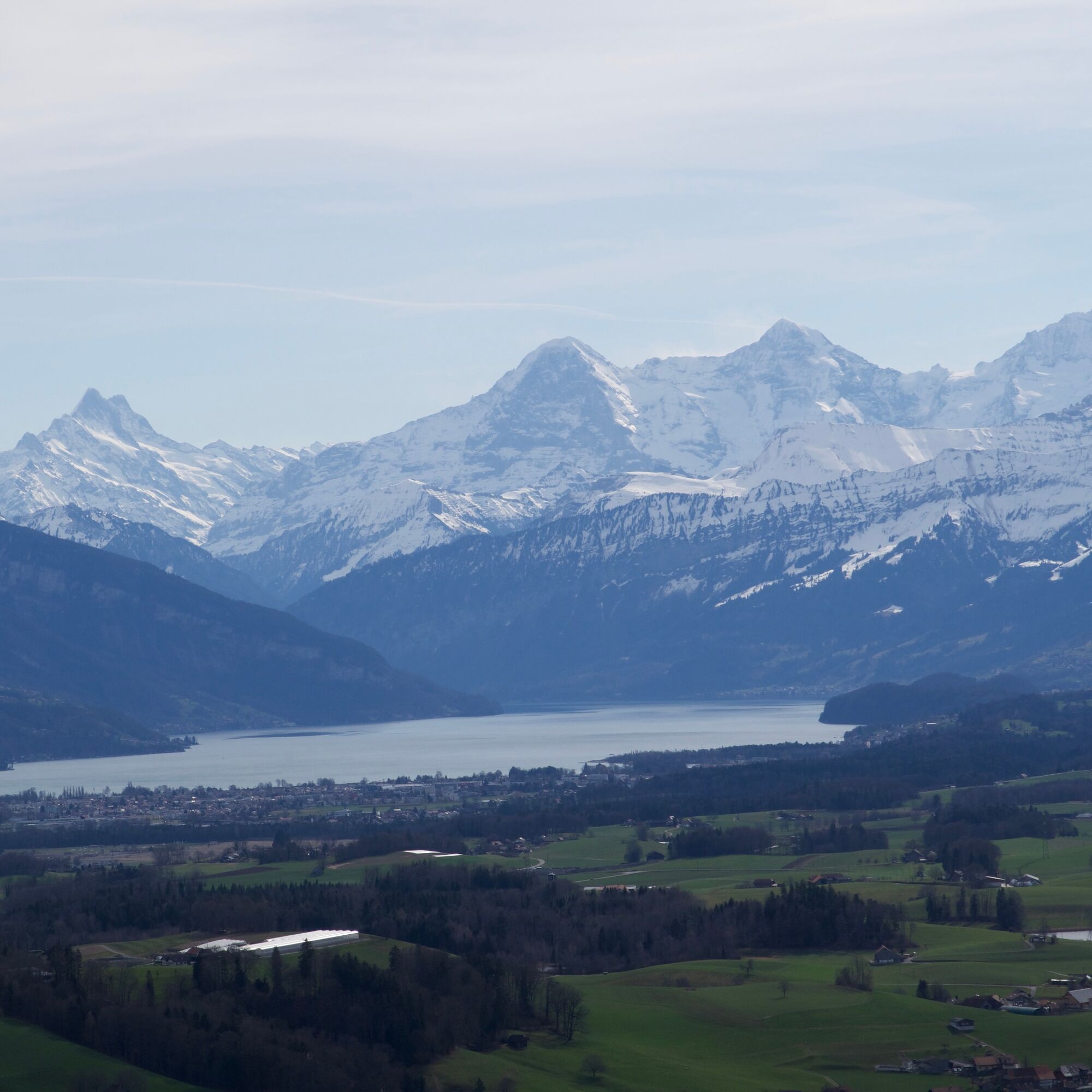
Once the plain of the Gürbetal was an extensive flat moor. At the beginning of the 18th century, the first drainage began; today the 'Chabisland' is the most important cabbage growing area in Switzerland. Enough sauerkraut: the terrain becomes increasingly hilly; in the light of the morning sun, a remarkably shaky row of houses is reflected in the tiny Ditigsee. Also remarkable are the views in the Gantrisch Nature Park: you look at cozy farmhouses and at the legendary Bernese Alpine chain with Finsteraarhorn, Eiger, Mönch, and Jungfrau.

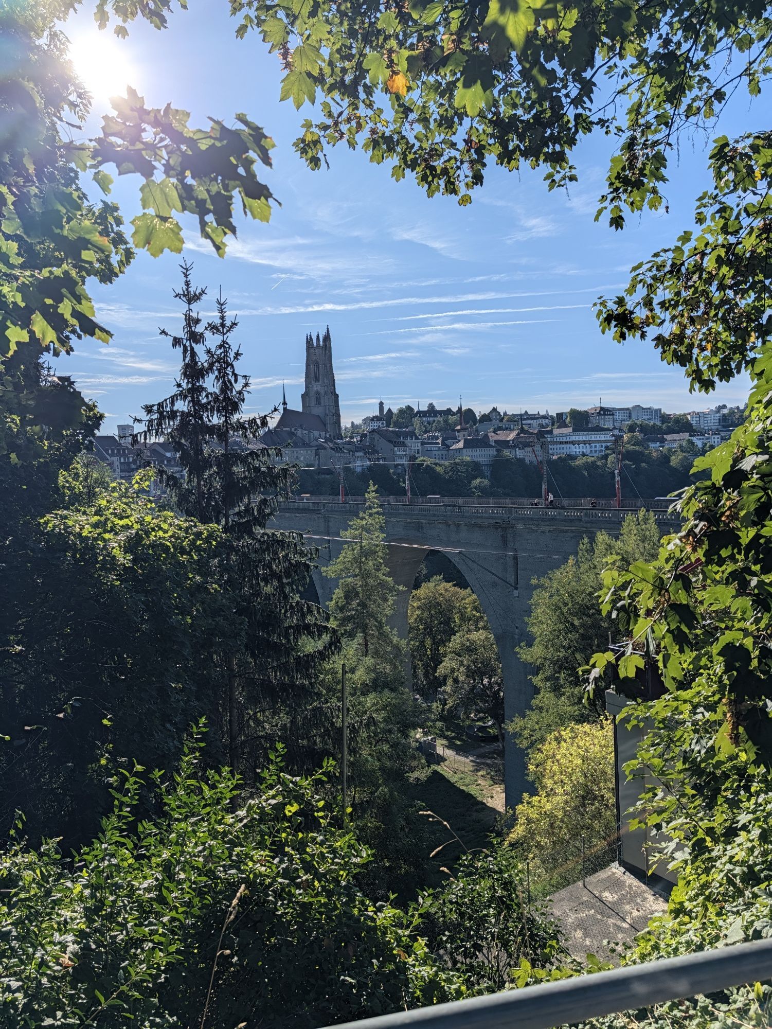
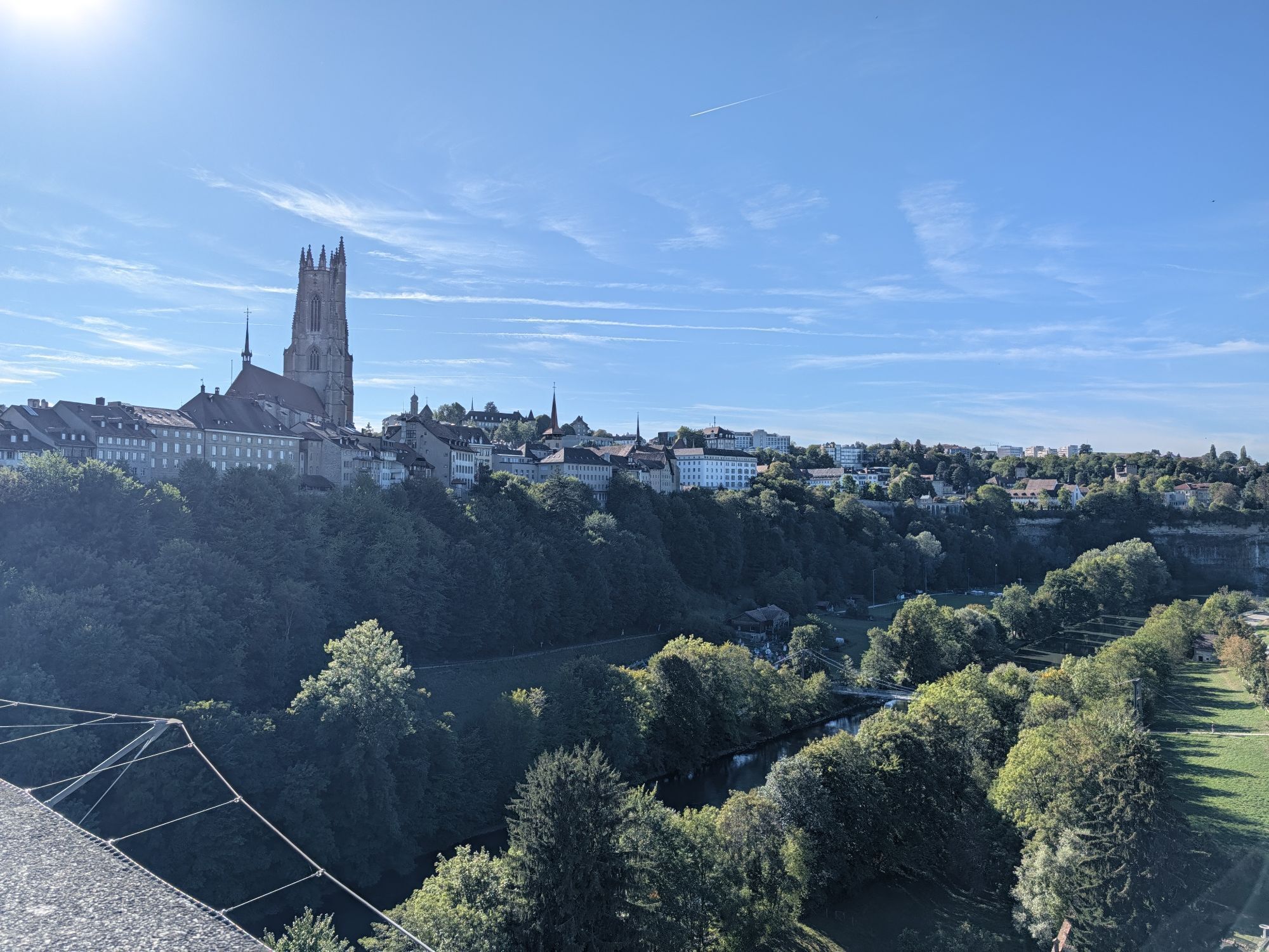
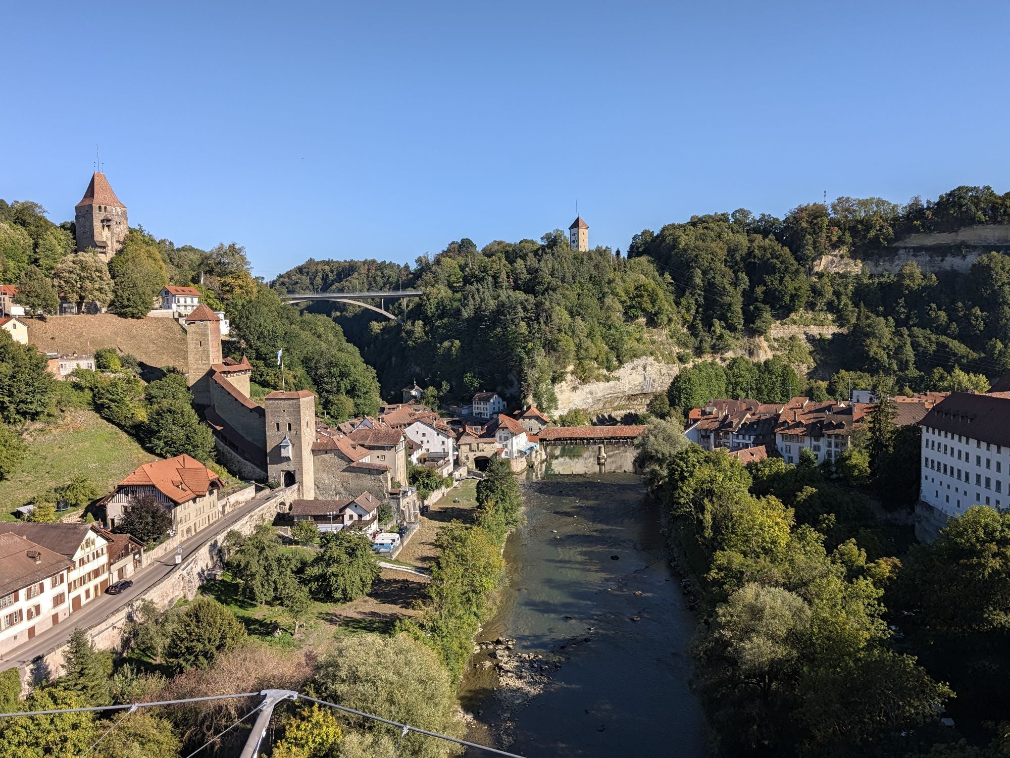
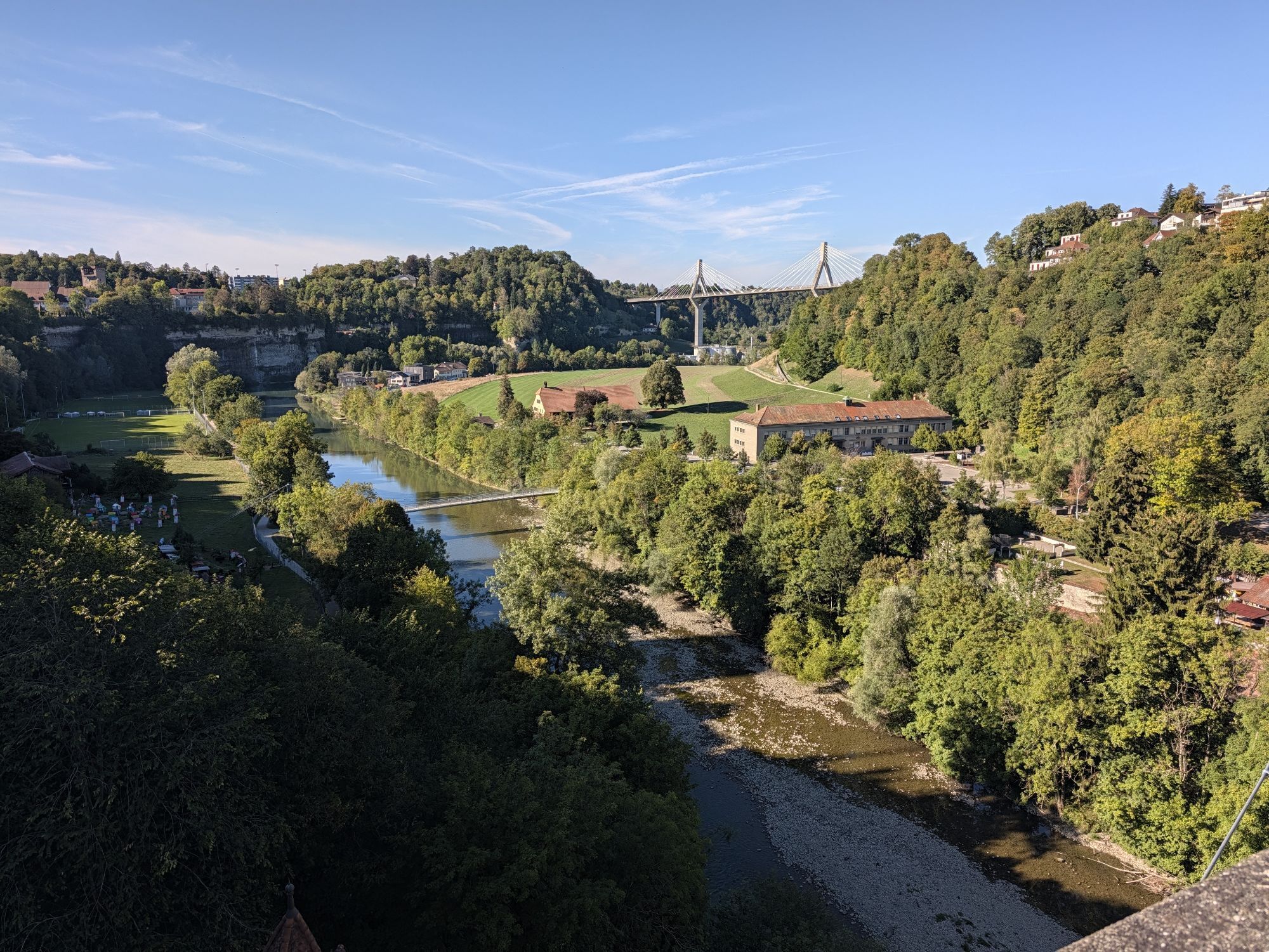
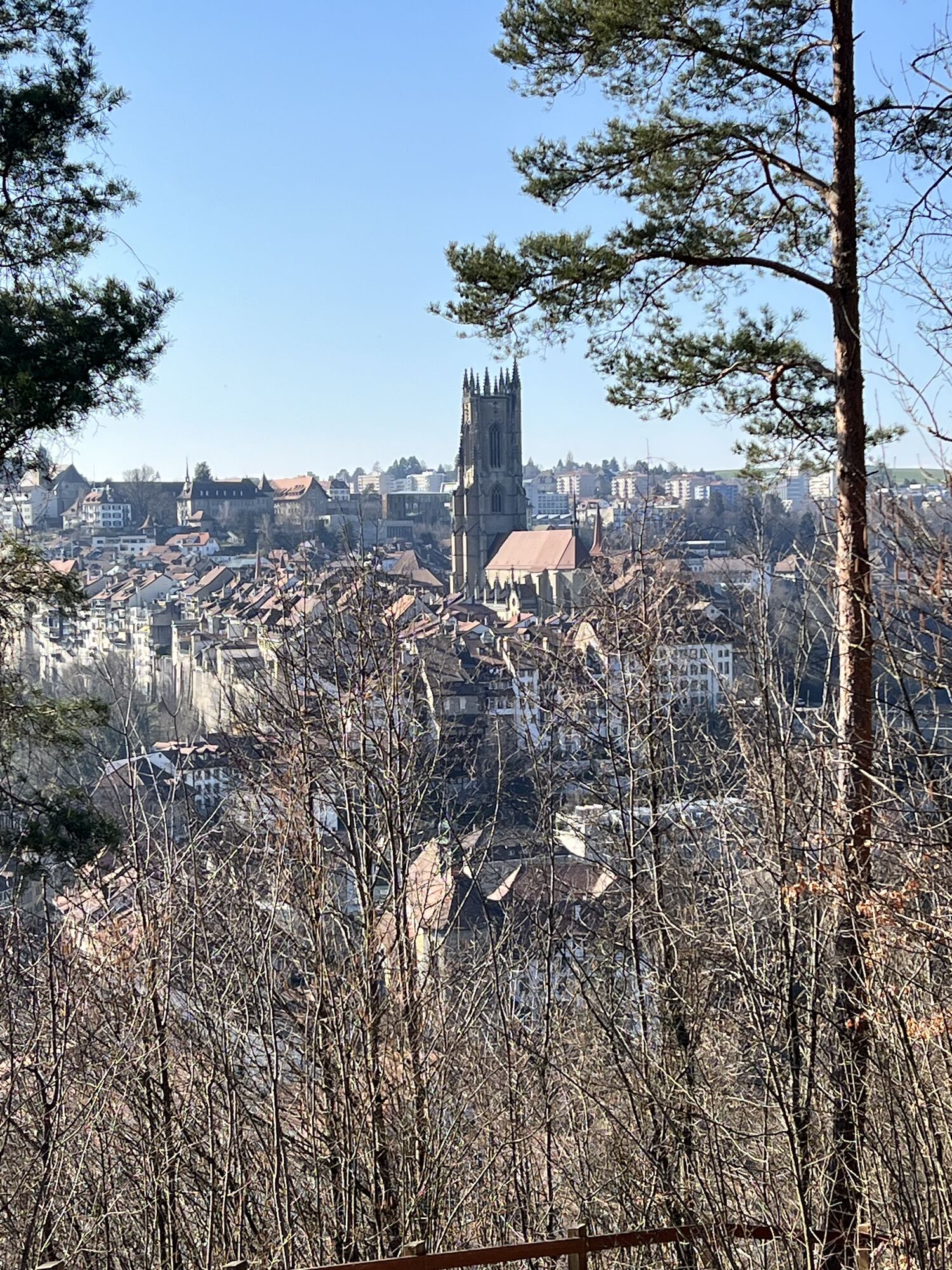
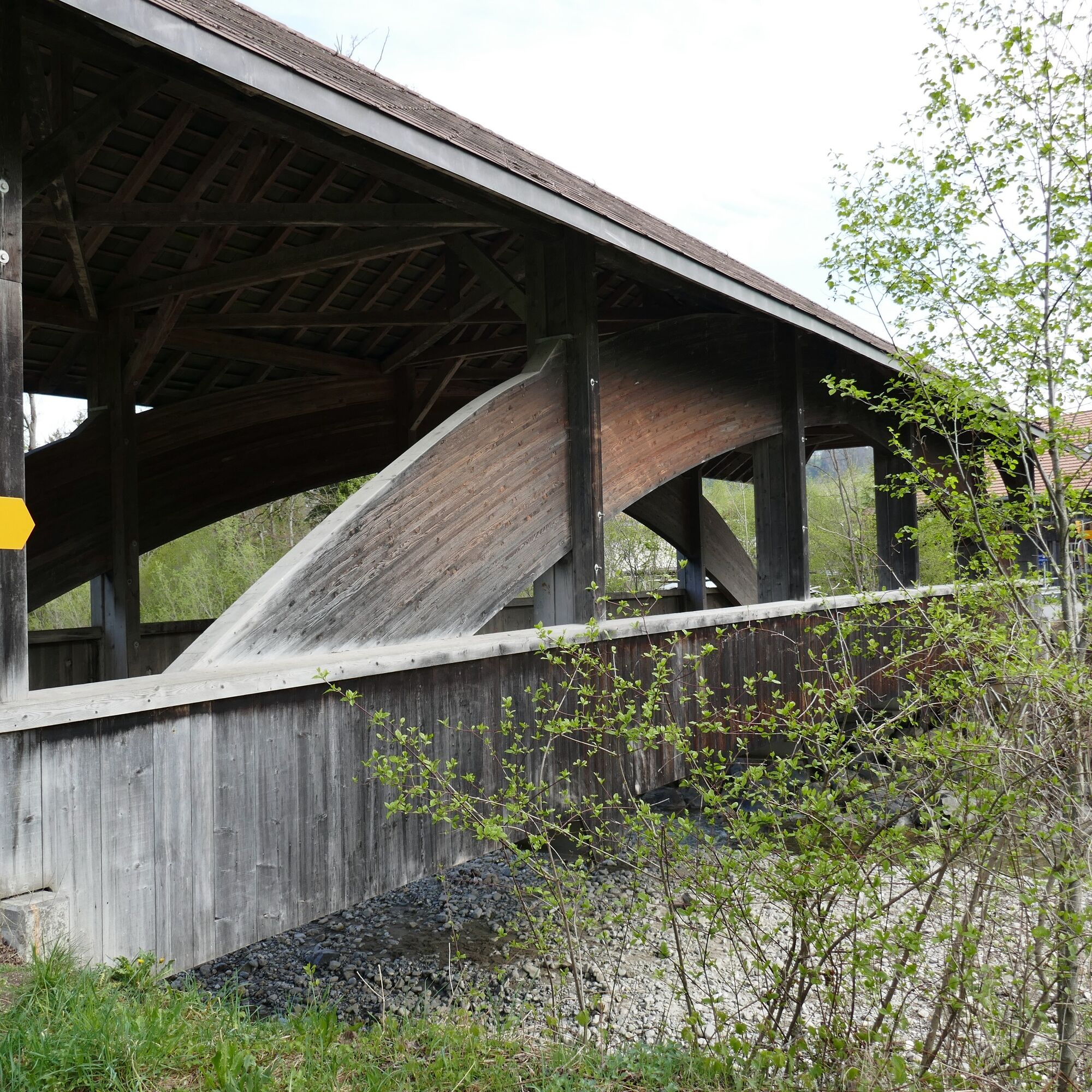
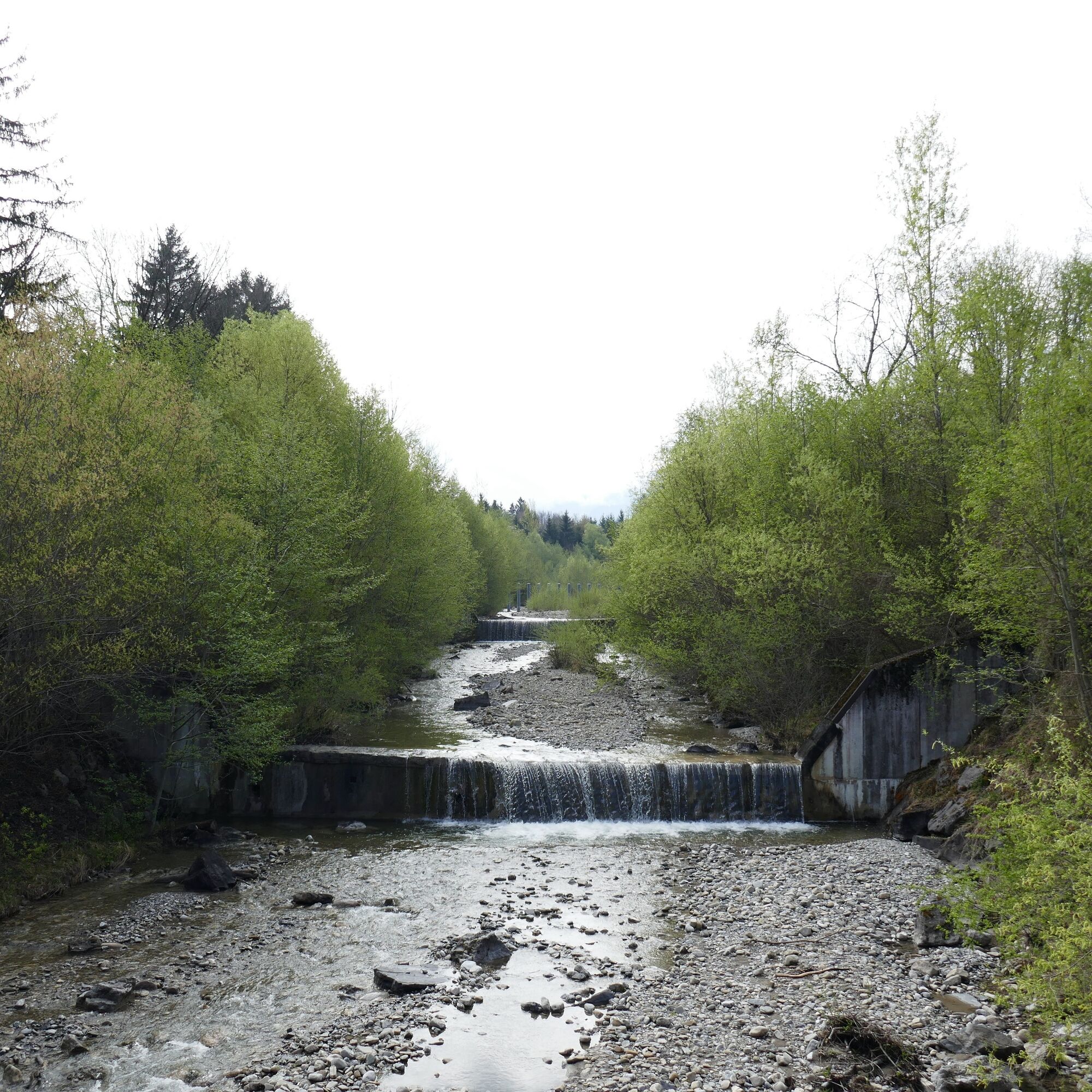
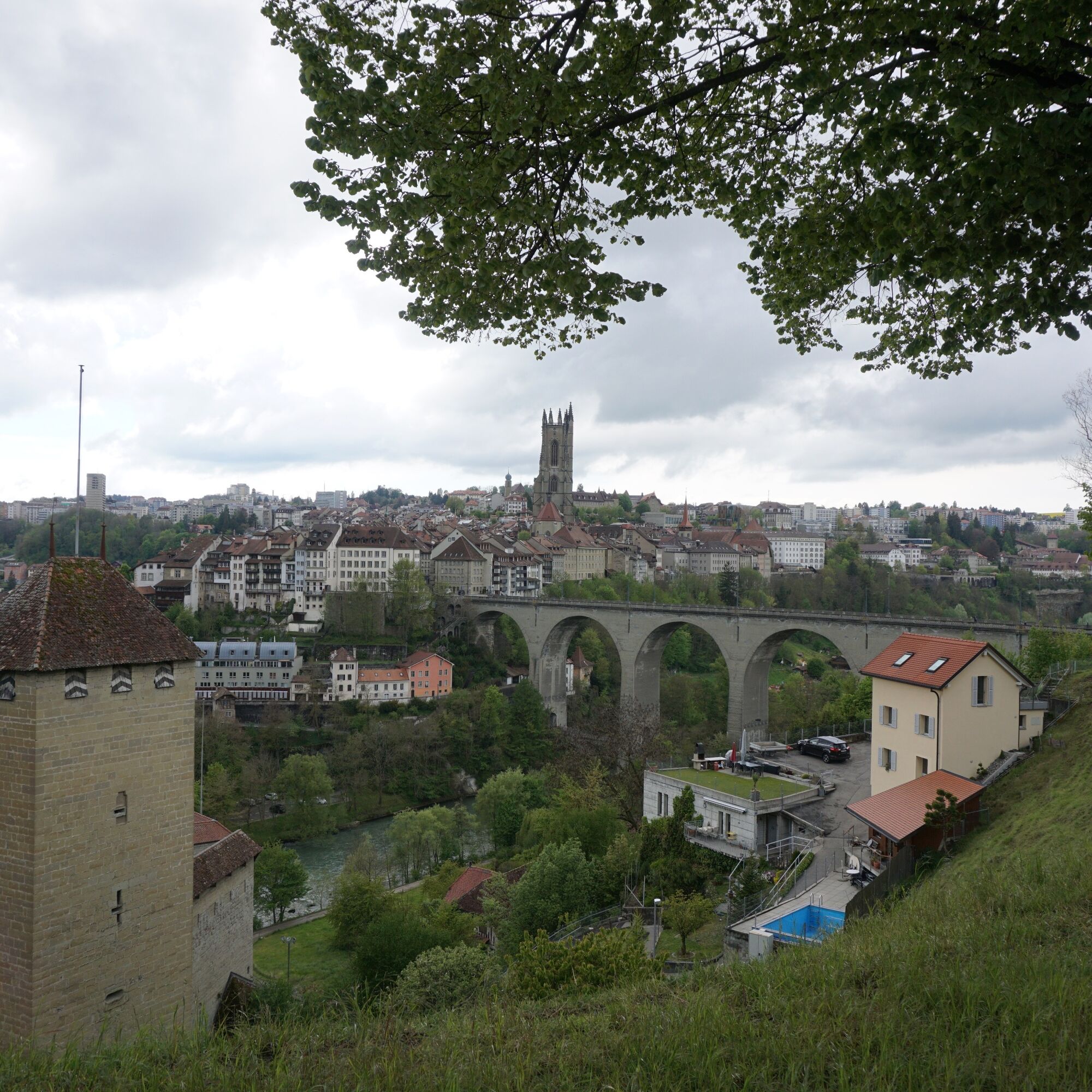
As many as three times you cross the Biberze in the Biberzetäli, once the Schwarzwasser. After an eventful route, the last section leads through the city of Fribourg. Over the Zähringer bridge, through the old town and past the St. Nicholas Cathedral, the path winds up to the station where the route ends. 

Trasa
Thun
(560 m)
Mesto
0,0 km
Längenbühl
(654 m)
Dedina
8,9 km
Kirche Wattenwil
(616 m)
Miesto uctievania
13,3 km
Rüschegg-Graben
(740 m)
Dedina
24,4 km
Kapelle St. Appolonia
(776 m)
Miesto uctievania
39,5 km
Pfarrkirche St. Martin
(655 m)
Miesto uctievania
45,6 km
Eglise Evangélique - Espace Rencontre
(658 m)
Miesto uctievania
51,0 km
Trasa
Mapa
Alpine panorama route stage 6 (SchweizMobil 4)
stredná
Cyklistika
54,45 km
Thun
(560 m)
Mesto
0,0 km
Kreuz
(574 m)
Reštaurácia
1,8 km
Allmendingen
(574 m)
Susedstvo
1,9 km
Restaurant Bären
(567 m)
Reštaurácia
5,2 km
Thierachern
(610 m)
Dedina
5,2 km
Restaurant Löwen
(609 m)
Reštaurácia
5,9 km
Eyacher
(650 m)
Koridor/terén
7,8 km
Weiermatt
(654 m)
Zúčtovanie
8,4 km
Wase
(664 m)
Koridor/terén
8,5 km
Bim Türli
(662 m)
Zúčtovanie
8,6 km
Hirschiguet
(665 m)
Zúčtovanie
8,6 km
Längenbühl
(654 m)
Dedina
8,9 km
Hattige
(658 m)
Koridor/terén
9,5 km
Grizzlybär
(663 m)
Reštaurácia
9,5 km
Halte
(652 m)
Koridor/terén
10,0 km
Seematt
(661 m)
Susedstvo
10,1 km
Chalbermoos
(663 m)
Susedstvo
10,1 km
Bim Bach
(654 m)
Susedstvo
10,2 km
Dittligegg
(664 m)
Susedstvo
10,2 km
Dittlige
(663 m)
Susedstvo
10,4 km
Mühle
(651 m)
Koridor/terén
10,4 km
Wolfrichti
(638 m)
Koridor/terén
10,7 km
Längmoos
(621 m)
Koridor/terén
11,0 km
Wattenwil
(603 m)
Dedina
13,1 km
Kirche Wattenwil
(616 m)
Miesto uctievania
13,3 km
Grund
(876 m)
Koridor/terén
16,7 km
Stalden
(843 m)
Zúčtovanie
18,4 km
Wegweid
(836 m)
Koridor/terén
19,1 km
Neuhaus
(834 m)
Zúčtovanie
19,4 km
Beim Schulhaus
(827 m)
Koridor/terén
19,6 km
Rüti bei Riggisberg
(828 m)
Dedina
19,9 km
Dörfli
(827 m)
Susedstvo
20,3 km
Untere Rüti
(817 m)
Koridor/terén
20,6 km
Laueli
(819 m)
Koridor/terén
20,9 km
Rütiplötsch
(750 m)
Koridor/terén
23,7 km
Rüschegg-Graben
(740 m)
Dedina
24,4 km
Gasthof Bären
(741 m)
Reštaurácia
24,4 km
Graben
(743 m)
Susedstvo
24,4 km
Schlegeli
(805 m)
Koridor/terén
25,3 km
Lätteren
(832 m)
Koridor/terén
26,1 km
Hinterfeld
(816 m)
Koridor/terén
28,0 km
Mamishaus
(797 m)
Zúčtovanie
29,3 km
Schönentanne
(802 m)
Zúčtovanie
30,9 km
Schönentanne
(802 m)
Reštaurácia
31,2 km
Schwarzenburg
(792 m)
Železničná stanica
32,9 km
Schwarzenburg
(792 m)
Dedina
33,0 km
Sodbach
(657 m)
Reštaurácia
35,9 km
Heitenried
(762 m)
Dedina
37,4 km
Winterlingen
(766 m)
Zúčtovanie
39,3 km
Kapelle St. Appolonia
(776 m)
Miesto uctievania
39,5 km
Reformierte Kirche St. Antoni
(739 m)
Miesto uctievania
41,1 km
Sankt Antoni
(715 m)
Dedina
41,5 km
Kirche St. Antoni
(718 m)
Miesto uctievania
41,6 km
Weissenbach
(654 m)
Zúčtovanie
42,4 km
Kapelle Weissenbach St. Sebastian
(647 m)
Miesto uctievania
42,6 km
Spielplatz Schule Tafers
(652 m)
Detské ihrisko
45,5 km
Pfarrkirche St. Martin
(655 m)
Miesto uctievania
45,6 km
Tafers
(651 m)
Dedina
45,6 km
Maggenberg
(652 m)
Reštaurácia
46,0 km
Ameismühle
(614 m)
Zúčtovanie
47,3 km
Schürmatt
(655 m)
Zúčtovanie
47,6 km
Balterswil
(668 m)
Zúčtovanie
48,0 km
Tasberg
(659 m)
Zúčtovanie
48,7 km
Römerswil
(699 m)
Zúčtovanie
49,5 km
Notre-Dame de Bourguillon
(656 m)
Miesto uctievania
51,0 km
Restaurant Des Trois Tours
(654 m)
Reštaurácia
51,0 km
Eglise Evangélique - Espace Rencontre
(658 m)
Miesto uctievania
51,0 km
Bourguillon/Bürglen
(668 m)
Zúčtovanie
51,1 km
Auge
(537 m)
Susedstvo
51,6 km
Foto-Spot Fribourg
(606 m)
Uhol pohľadu
51,7 km
Basilique Notre-Dame / Liebfrauenkirche
(587 m)
Miesto uctievania
52,9 km
Fribourg
(610 m)
Mesto
53,0 km
La Table du Bourg
(592 m)
Piknikový stôl
53,1 km
Bourg
(612 m)
Susedstvo
53,1 km
Neuveville
(549 m)
Susedstvo
53,2 km
Temple réformé
(620 m)
Miesto uctievania
53,6 km
Informácie o prehliadke

From the beautiful Lake Thun to Fribourg leads the stage of the Alpine panorama route. Views of the Bernese and Fribourg Alps can be enjoyed, as well as the repeated crossing of the Sense gorge offering a unique experience.

Technológia
2 / 6
Stav
3 / 6
Krajina
n.a.
Skúsenosti
n.a.
Najlepšie ročné obdobie
Jan
Feb
Mar
Apr
Máj
Jún
Júl
Aug
Sep
Okt
Nov
Dec
Zdieľať prehliadku
Mapa
Alpine panorama route stage 6 (SchweizMobil 4)
stredná
Cyklistika
54,45 km
Chyba
Vyskytla sa chyba. Prosím, skúste to znova.
Turistika a stopovanie

Turistika a stopovanie

Turistika a stopovanie
Viac ako 550.000 návrhov výletov, podrobné mapy a intuitívny plánovač trás robia z aplikácie povinnú výbavu pre všetkých nadšencov prírody.
bergfex