


Snowshoe trail Panoramaweg trail

Shortly after starting the hike at the Selibühl hut, you must decide whether to climb the popular and frequently visited viewpoint on the Selibüel. It is always worth it in good visibility, especially...
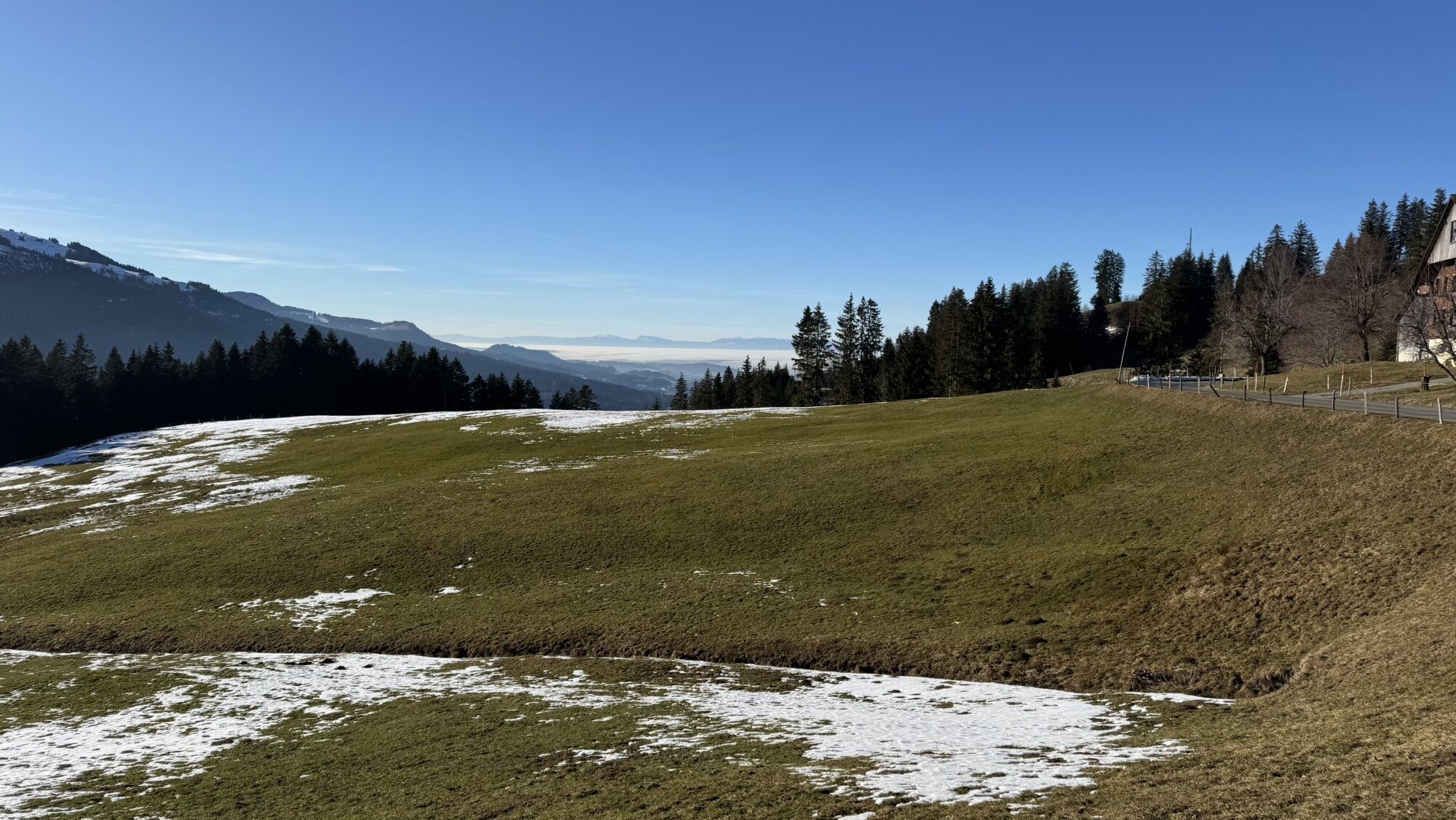
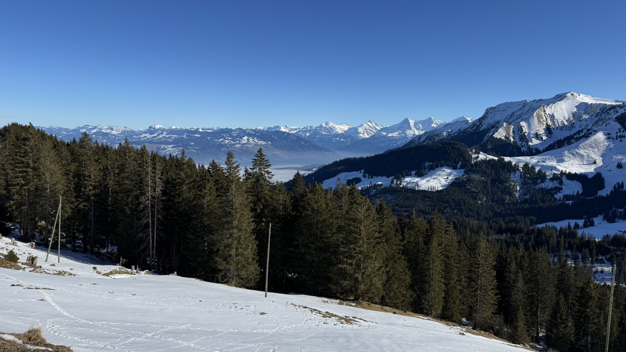
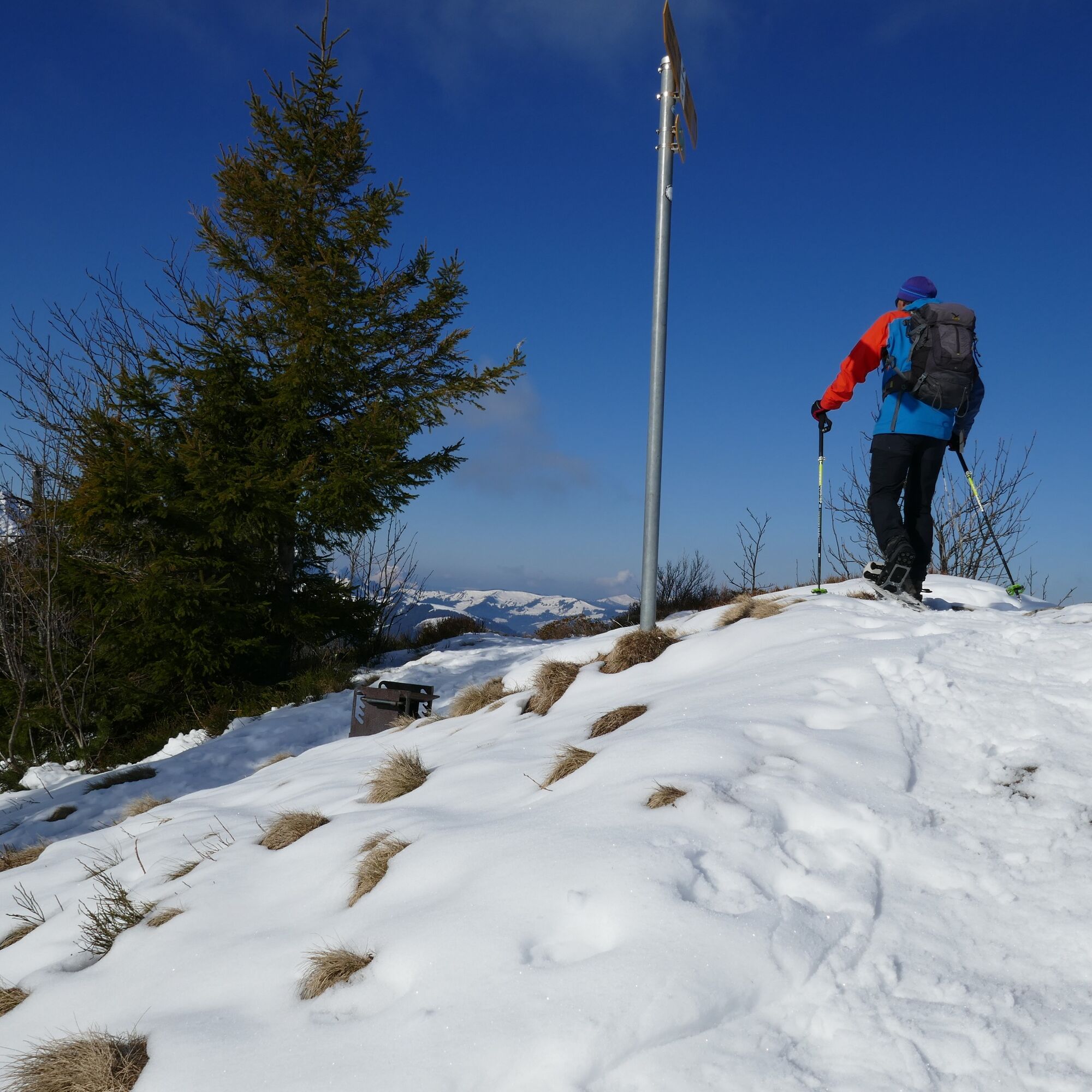
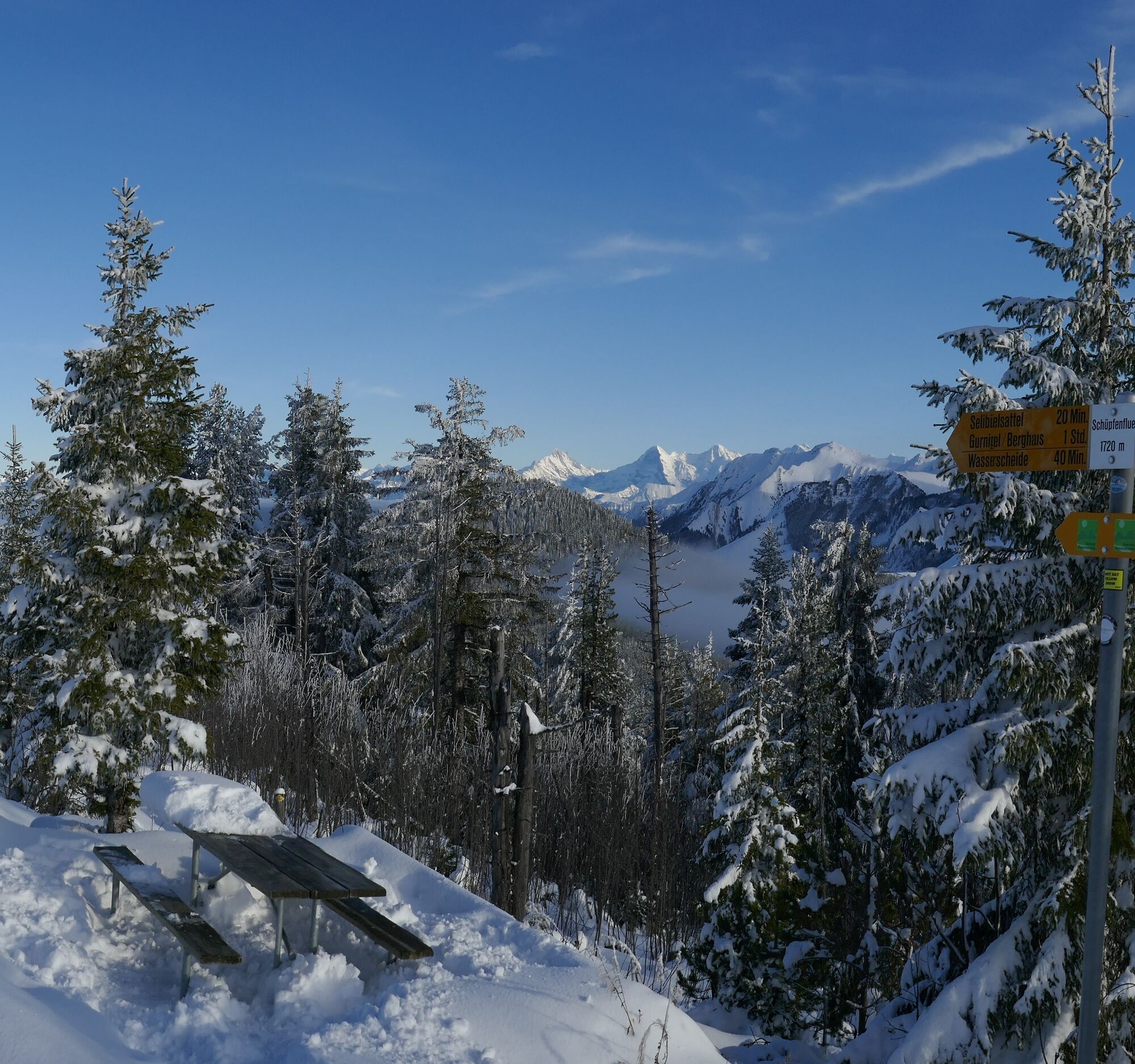
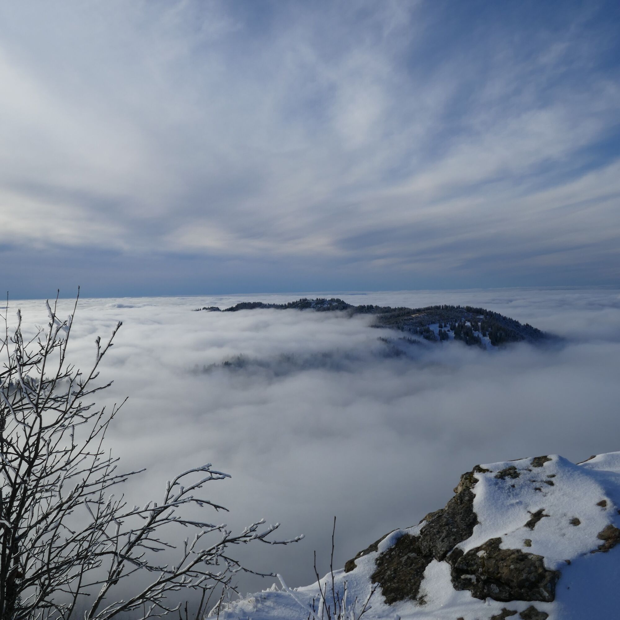
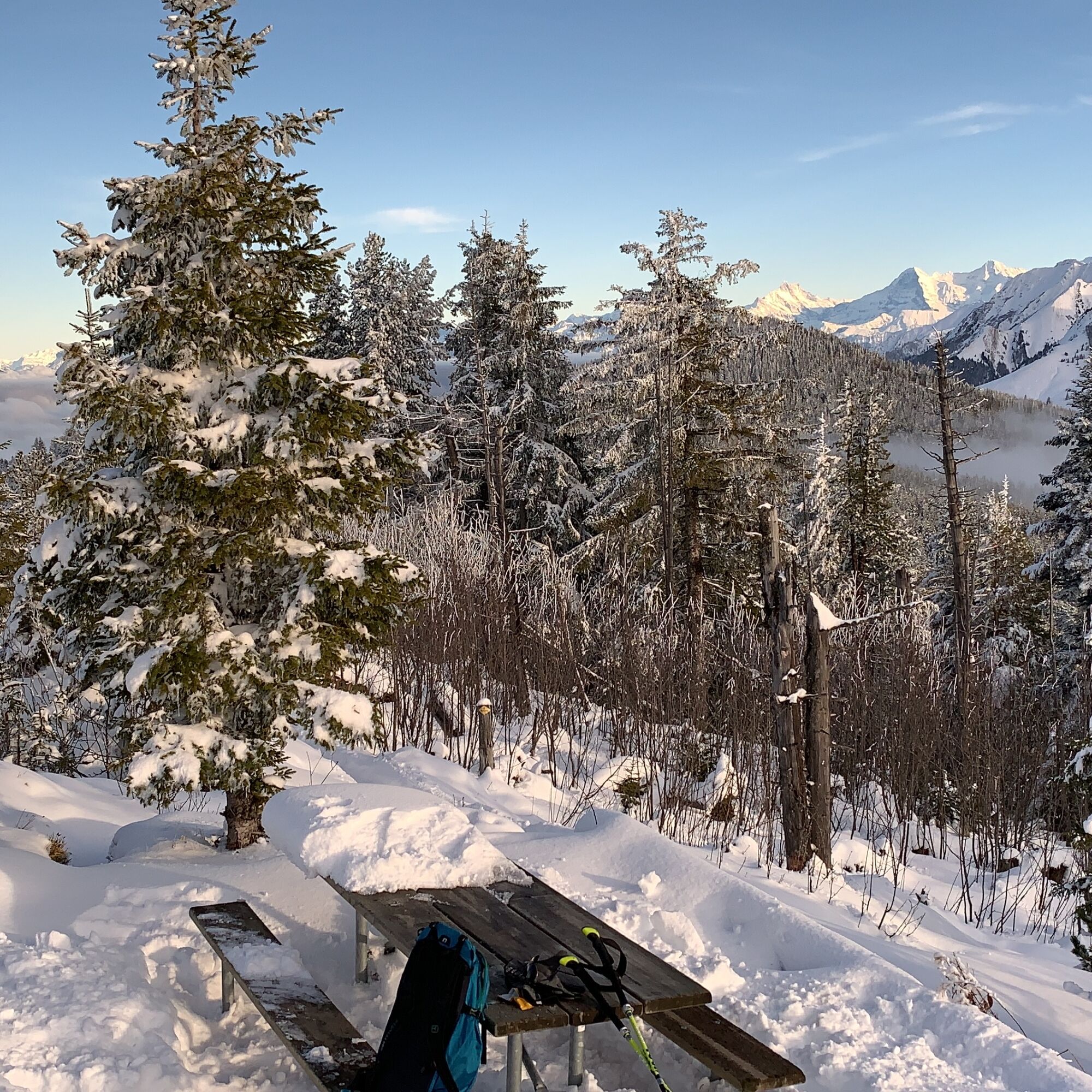
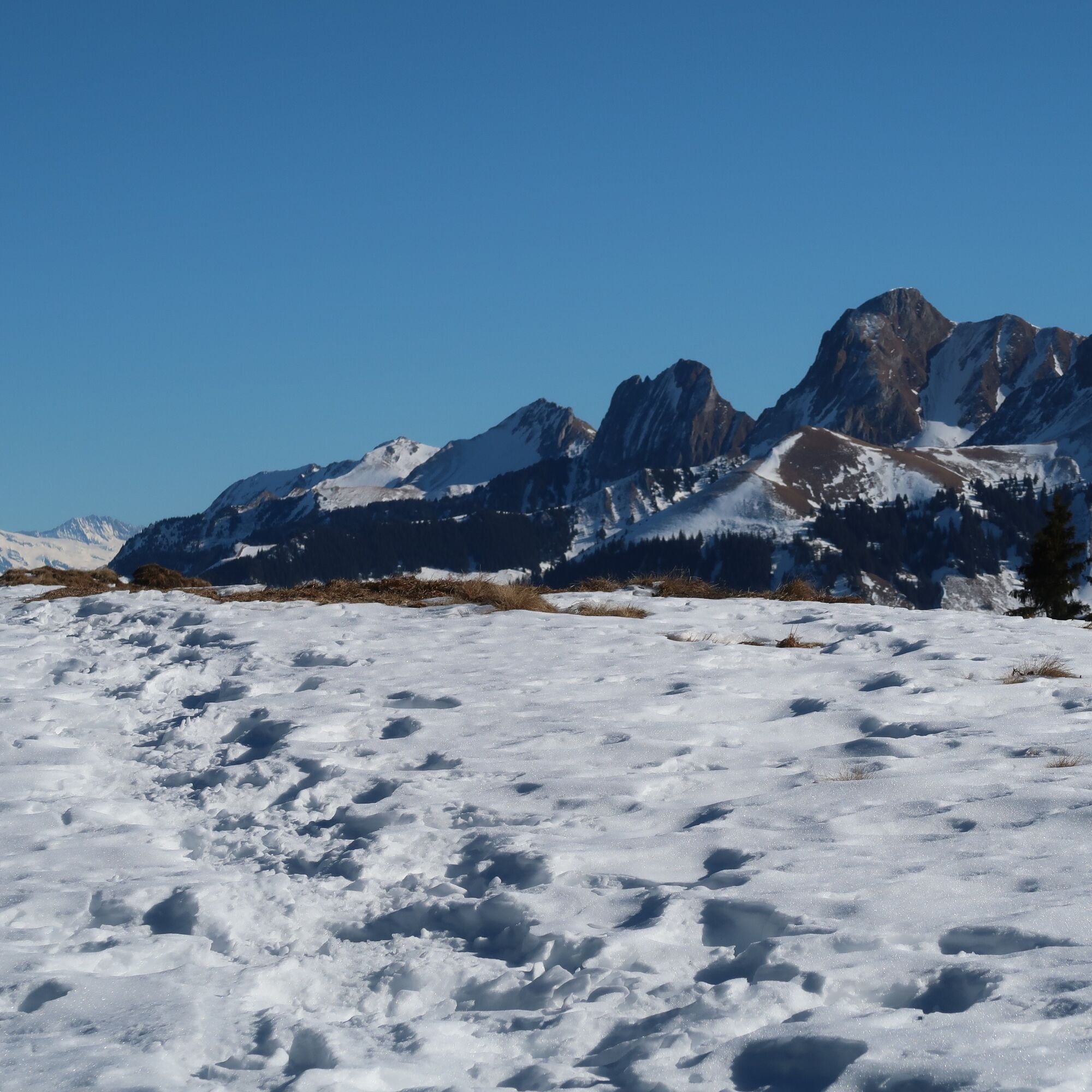
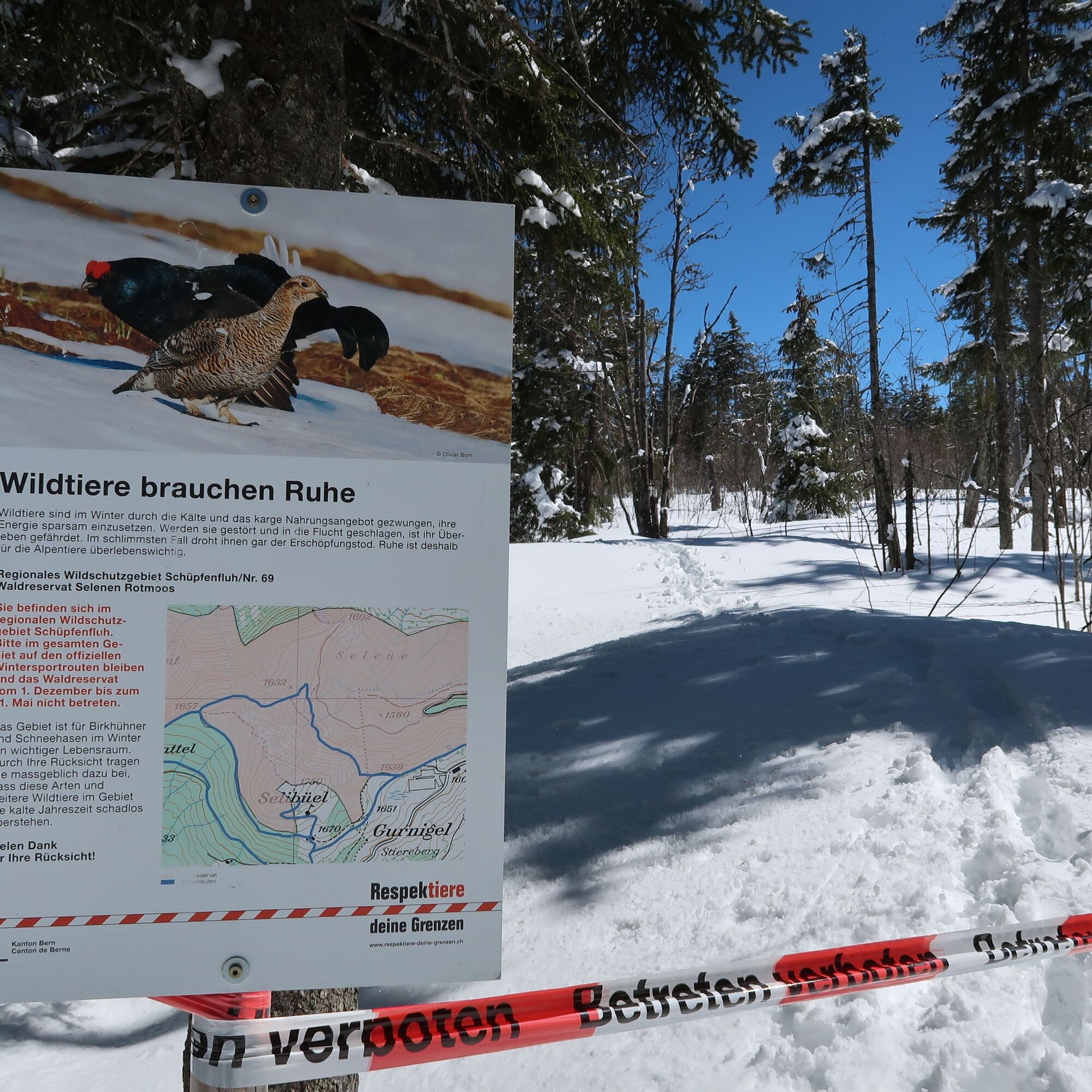
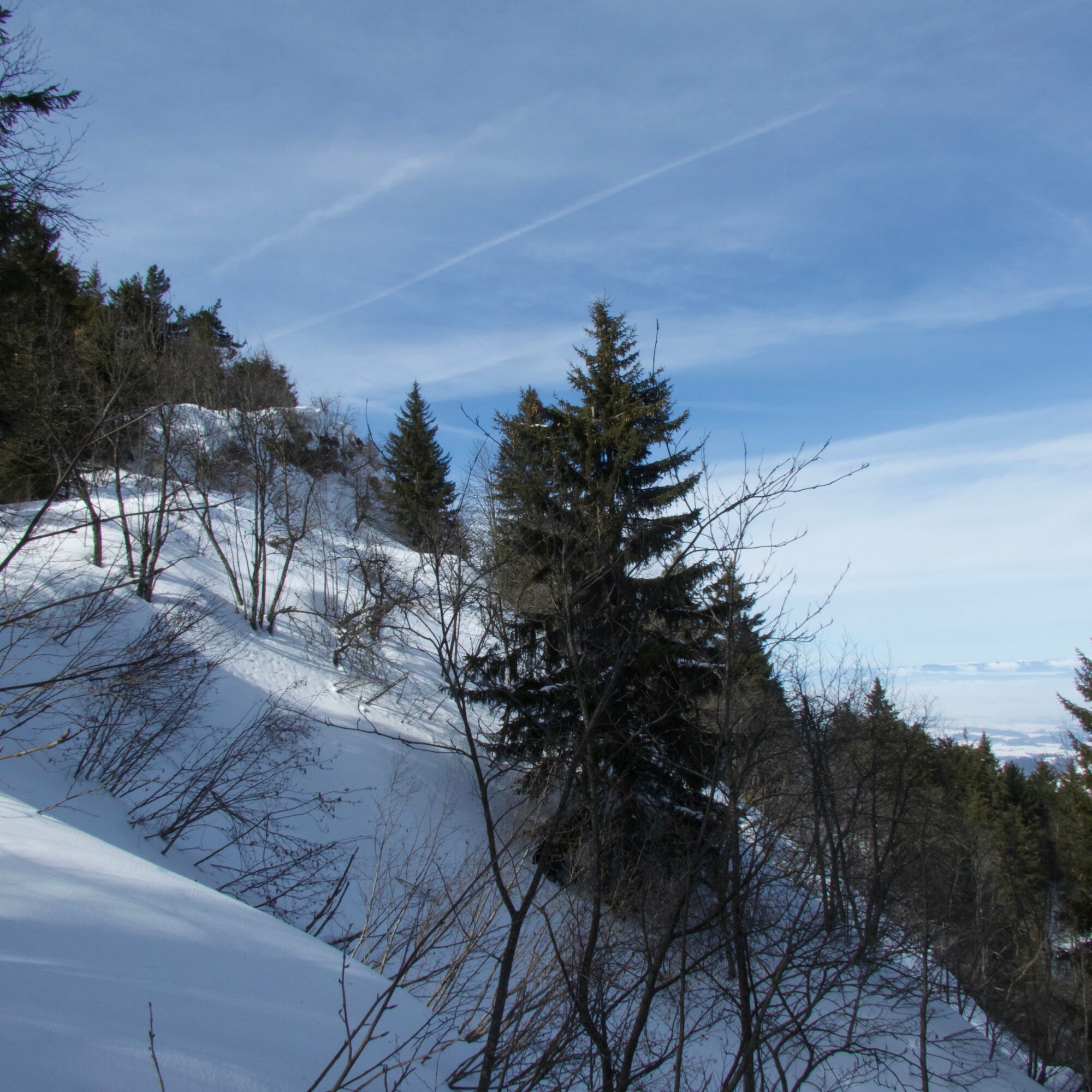
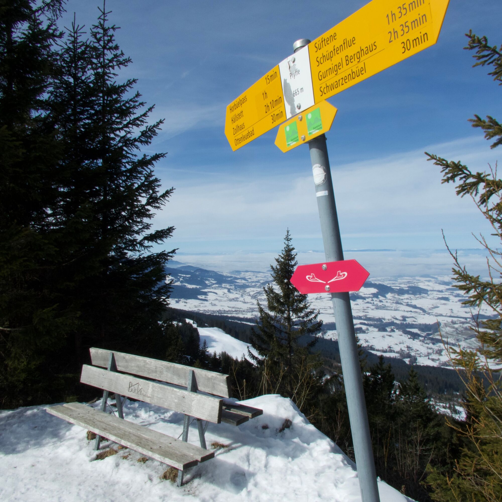
Shortly after starting the hike at the Selibühl hut, you must decide whether to climb the popular and frequently visited viewpoint on the Selibüel. It is always worth it in good visibility, especially if the view to the Bernese Alps is open. On the descent, follow the ascent path back down to the Selibühl hut. Then the path bypasses the hill on the south side via a forest trail, with splendid views of the nearby Gantrisch mountains Bürglen and Ochsen. Following the ridge, the path climbs up stairs to the Schüpfenfluh. Thanks to the prominent flysch cliffs, the view is now also free towards the Mittelland. Here, as on the Selibühl and then on the Pfyffe, a panorama board explains the names of the visible peaks. The path descends steeply on the other side of the Schüpfenfluh.
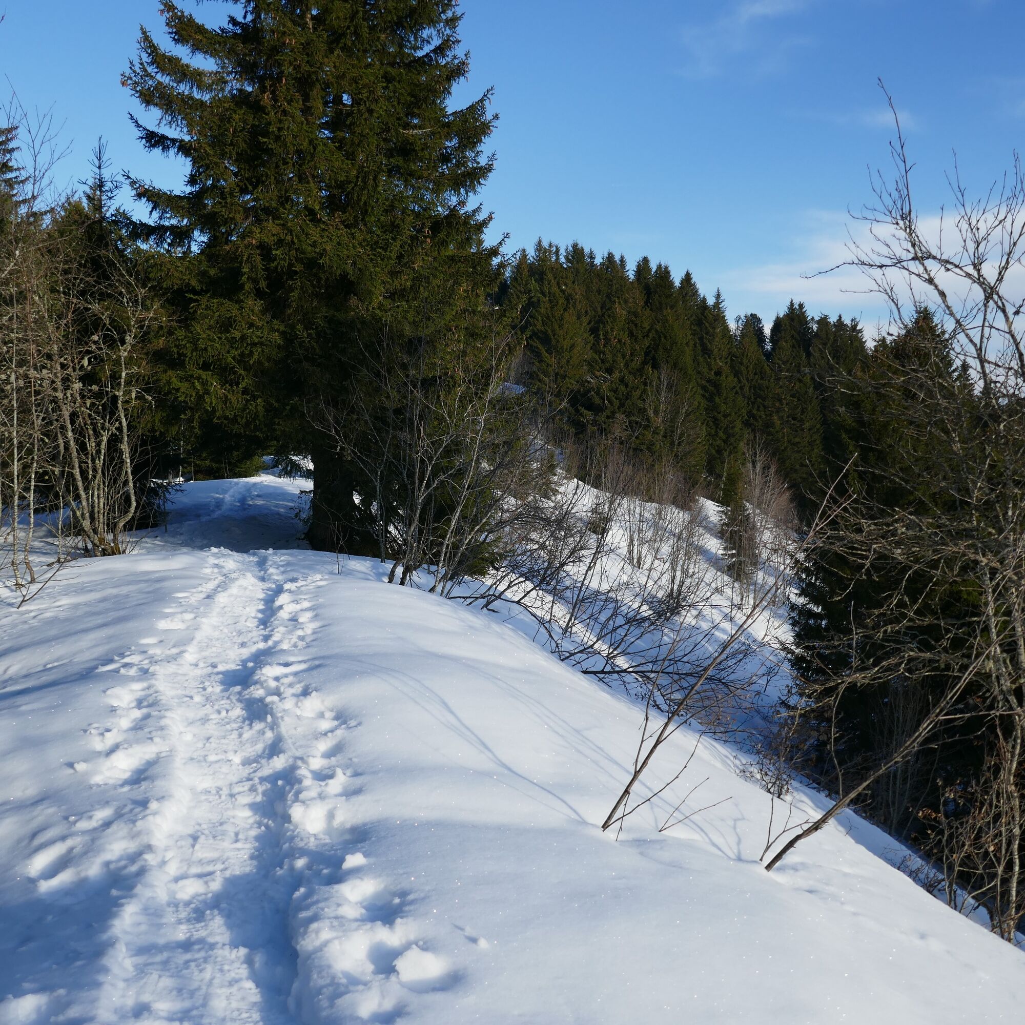
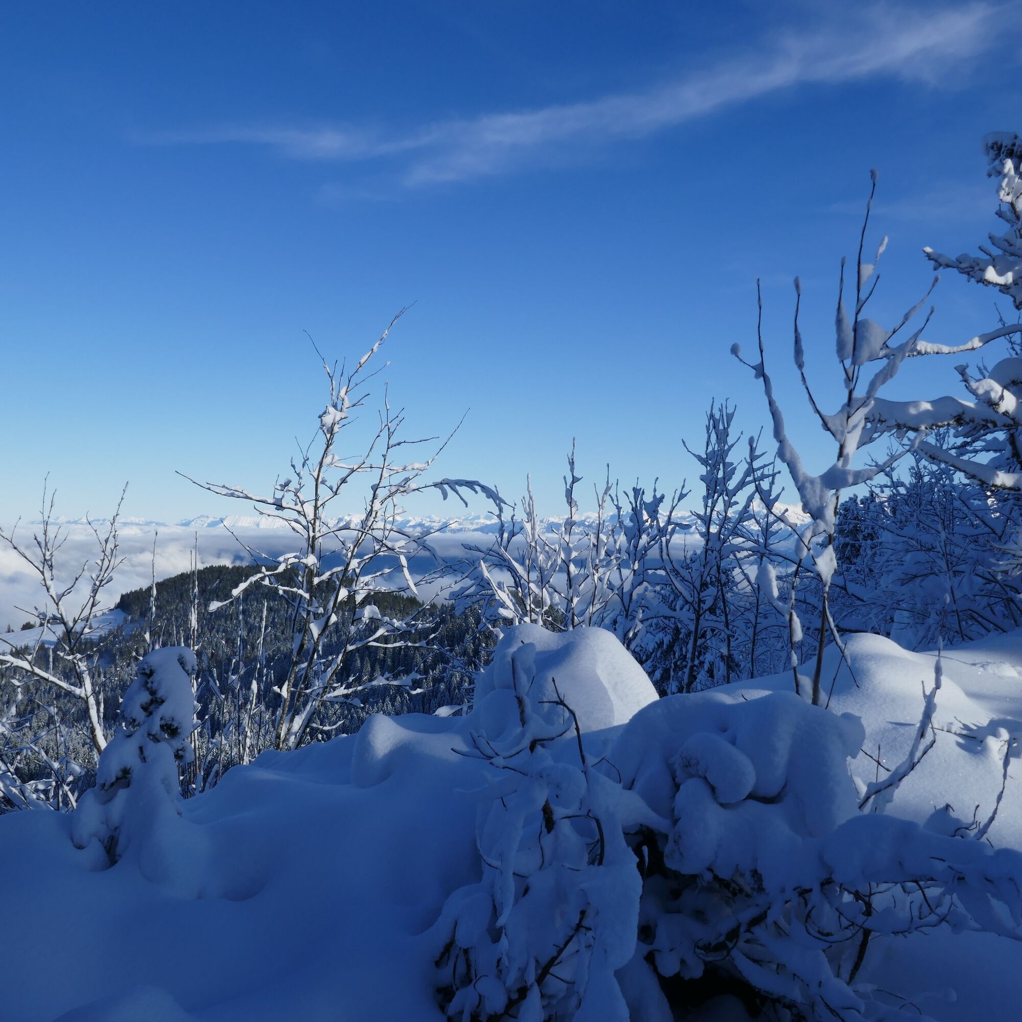
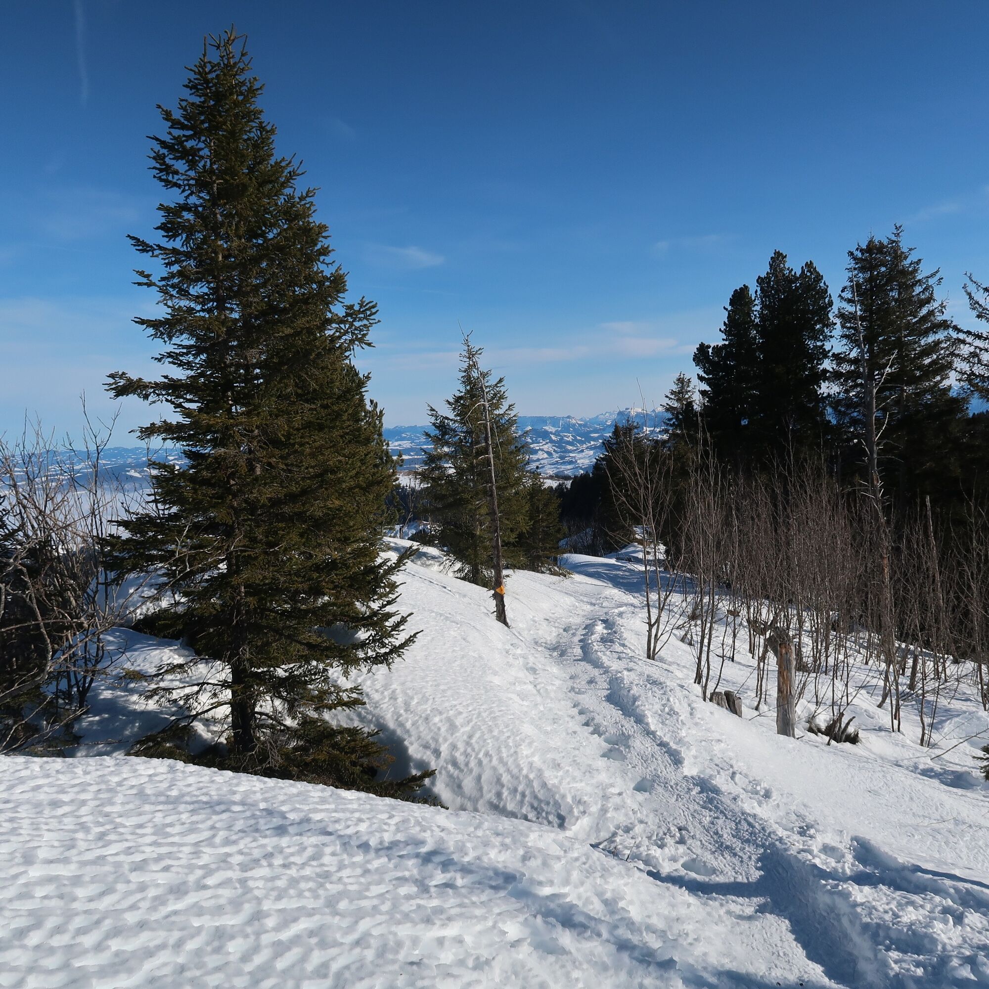
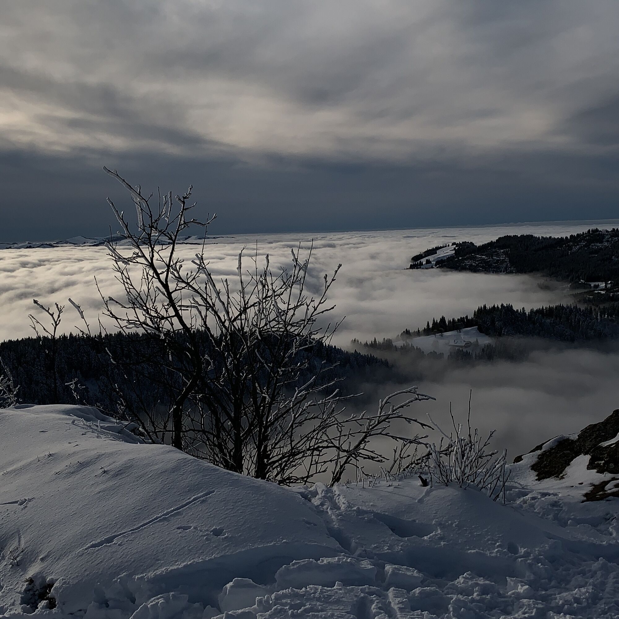
After reaching the cross-country ski trail, follow it to Süftene. Cross-country skiers appreciate it if you walk at the edge beside the tracks. From Süftene to the shelter hut, follow the ridge. Then the path follows the hiking trail toward the Pfyffe and at Gägger again the marked Schwarzenbühl panorama trail. On the way west, the view opens increasingly toward the Fribourg Pre-Alps and the German Fribourg Mittelland. A steep descent toward Zollhaus still lies ahead. From there, there is a connection to the Schwarzsee-Freiburg bus line.

Equipment rental
Gurnigel Berghaus, Gurnigel (self-service at cross-country skiing rental)
Schwarzenbühl Kurhaus (self-service at cross-country skiing rental) Gantrisch Bike & Sport, RiggisbergArrival
Obľúbené výlety v okolí
-
4,6
Gantrisch Summit Hike, 2176 m elevation
strednáTuristika 9,13 km -
4,8
Wasserscheide - Gantrisch Seeli
svetloTuristika 9,33 km -
4,0
High-altitude hike Gurnigel - Stockhorn
strednáTuristika 11,2 km -
3,6
Breccaschlund Panorama Trail (Switzerland Mobility 267)
strednáTuristika 12,9 km -
5,0
Lake Schwarzsee circular route (SwitzerlandMobility 787)
svetloZimná turistika 4,10 km -
4,7
Schwarzsee-Rundgang Häxewääg
svetloTematická trasa 4,10 km -
4,7
Summit hike Ochsen, 2188 m above sea level
strednáTuristika 7,94 km -
Patraflon & Schopfenspitz
strednáTuristika 15,1 km -
Riggisalp-Brecca-Schwarzsee Gypsera
strednáTuristika 10,1 km -
Schwarzsee - Patraflon - Pointe de Balachaux - Schopfenspitz - Combi - Stierenberg - Schwarzsee
strednáTuristika 14,8 km

Turistika a stopovanie


Nenechajte si ujsť ponuky a inšpiráciu na ďalšiu dovolenku
Vaša e-mailová adresa bol pridaný do poštového zoznamu.