



Burgenland Mariazellerweg (06)

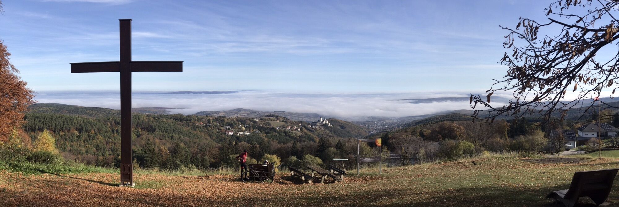
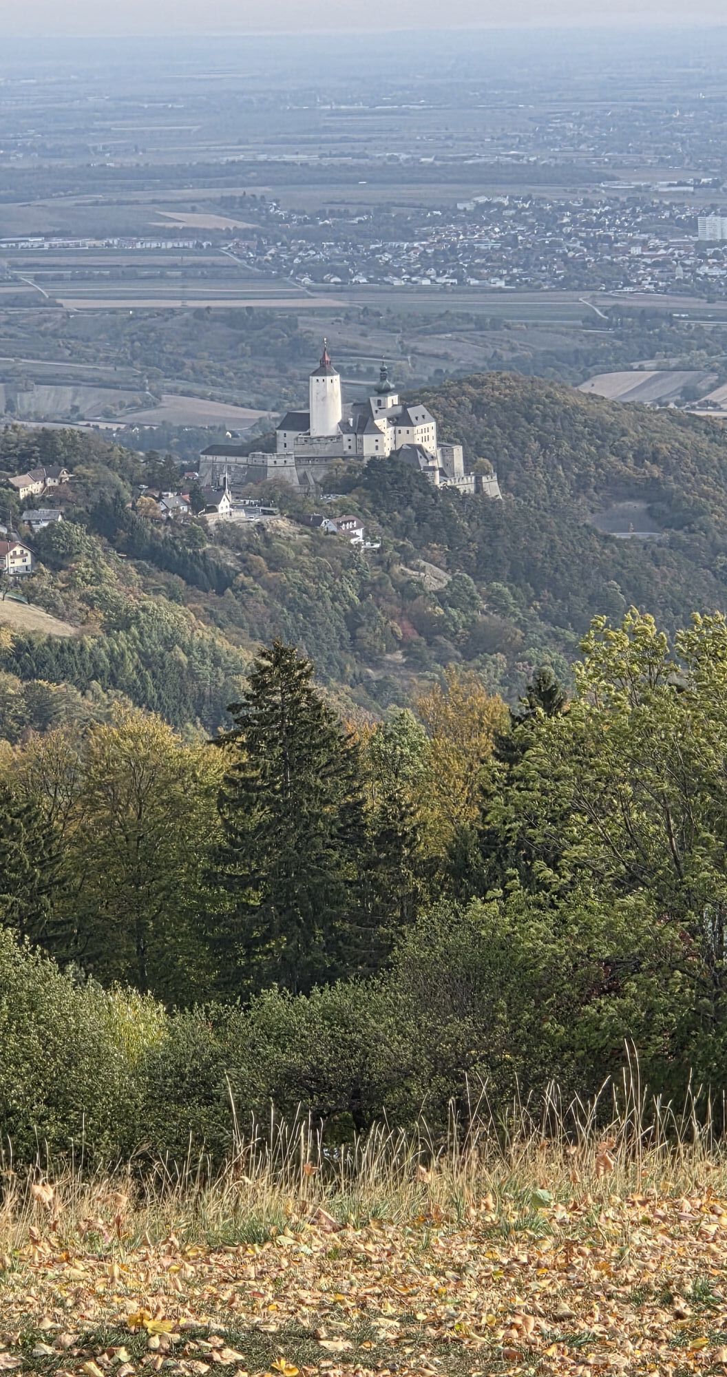
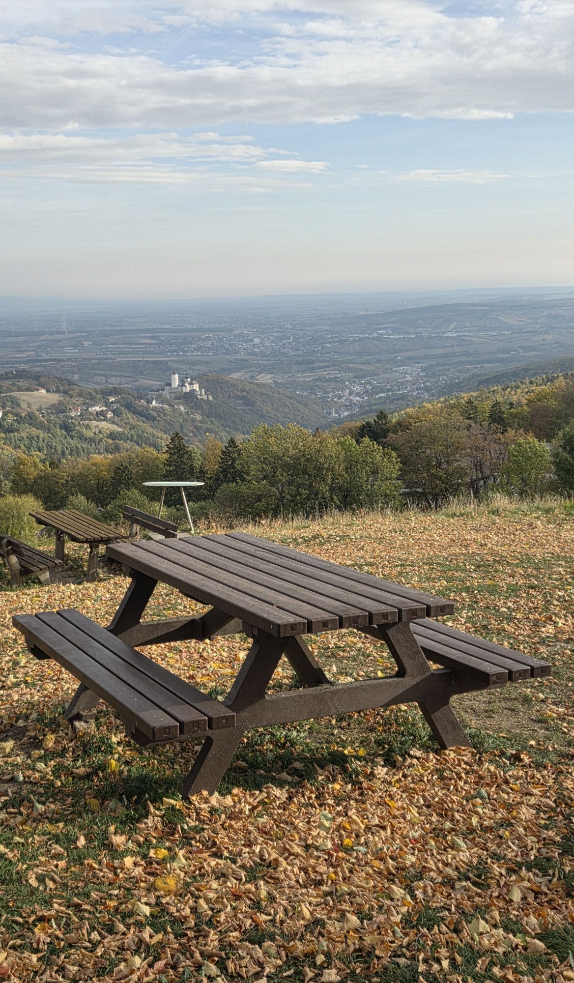
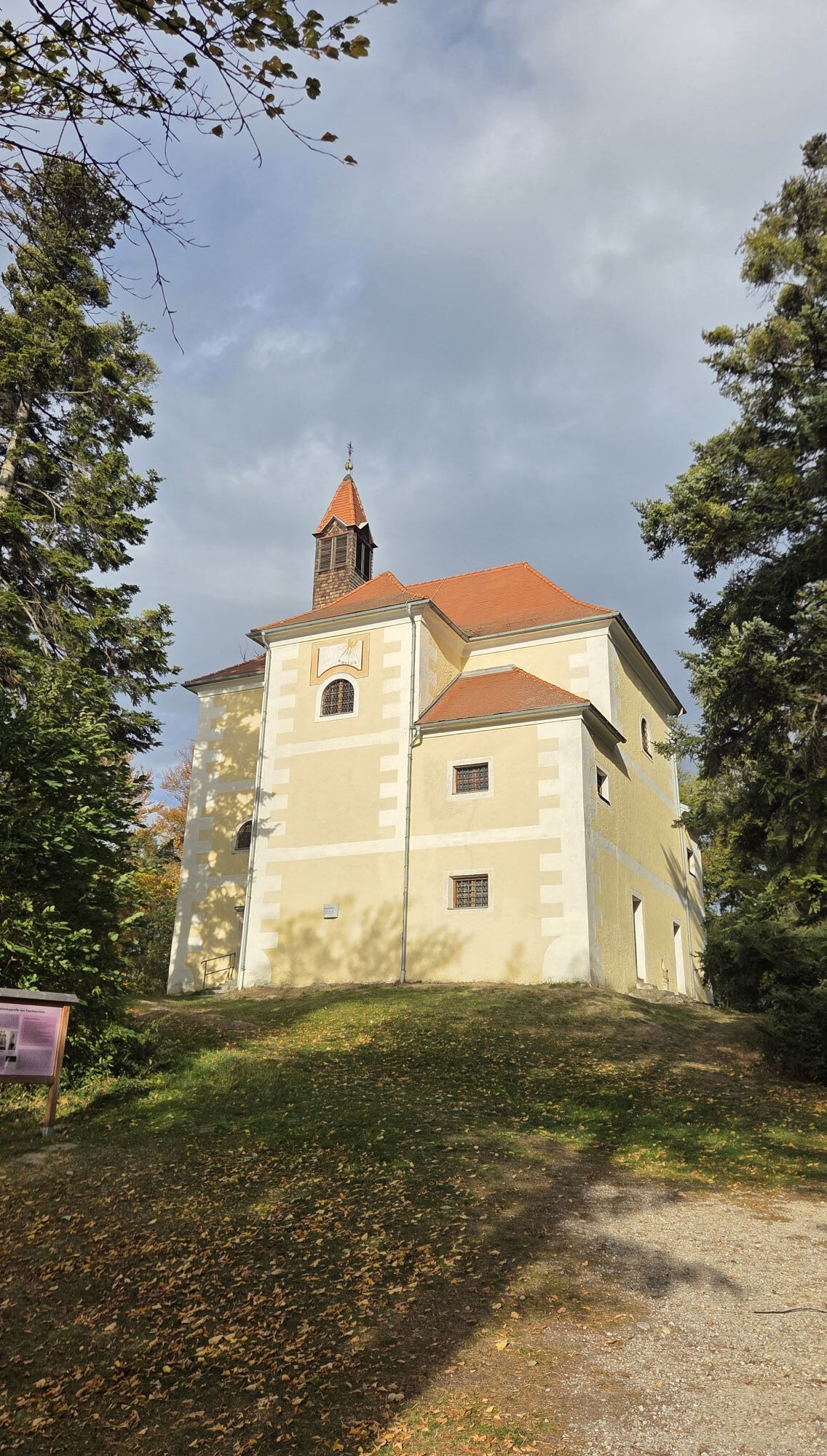
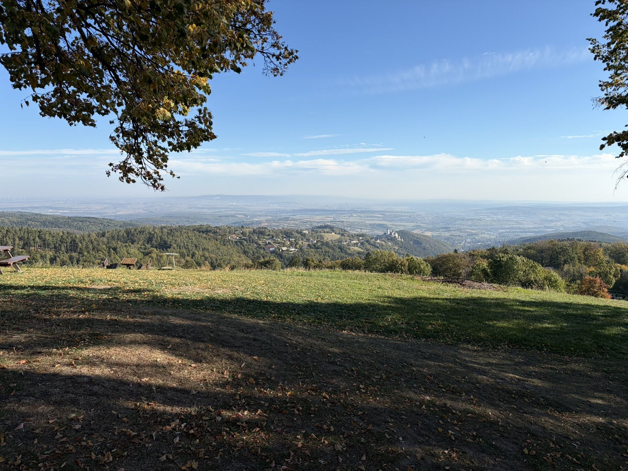
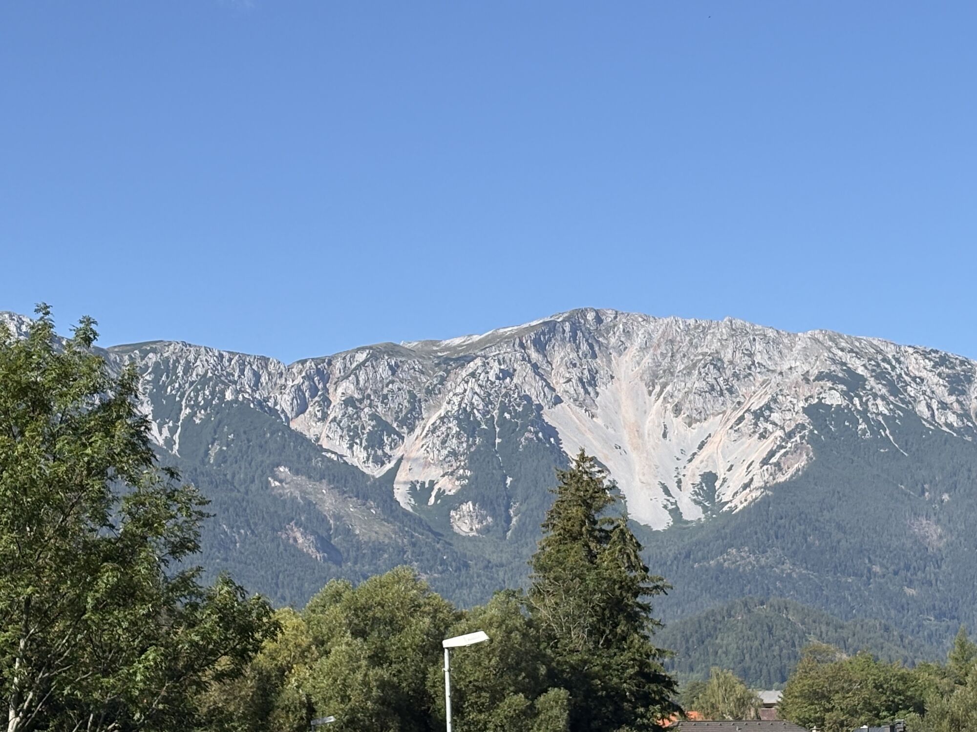
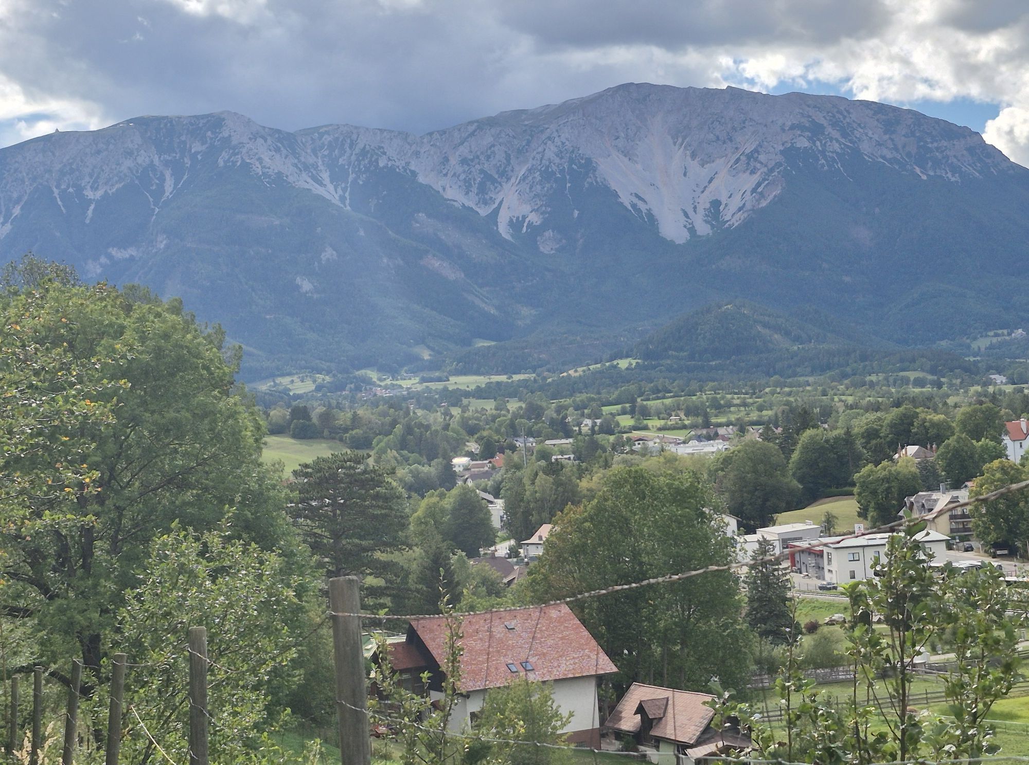
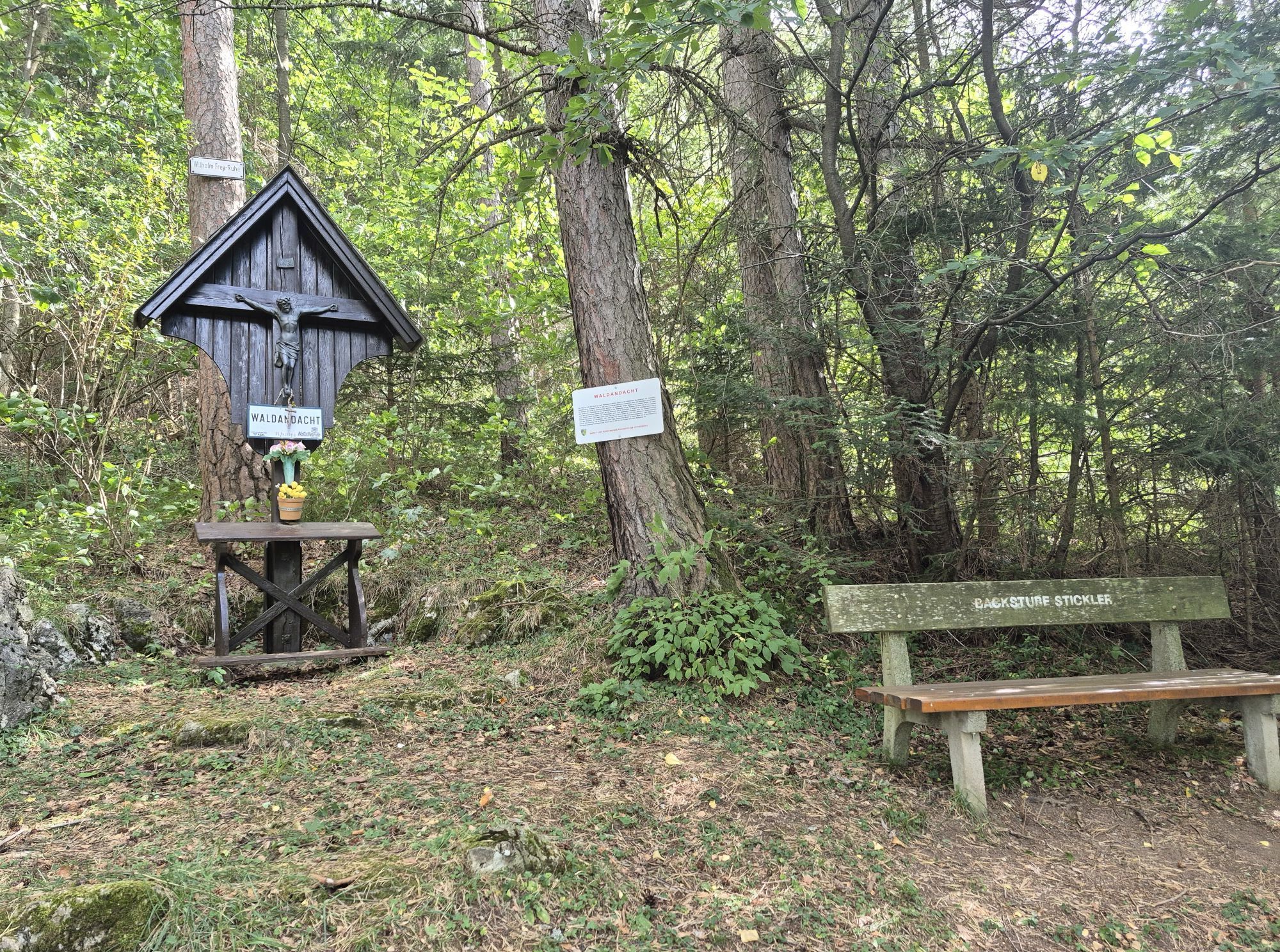
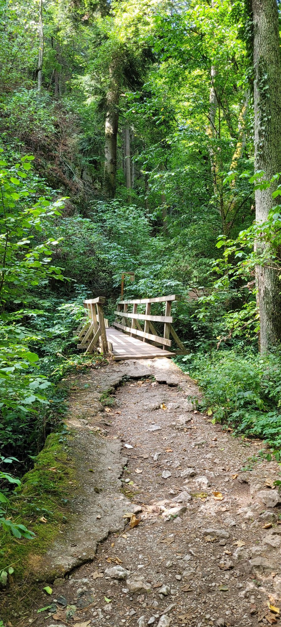
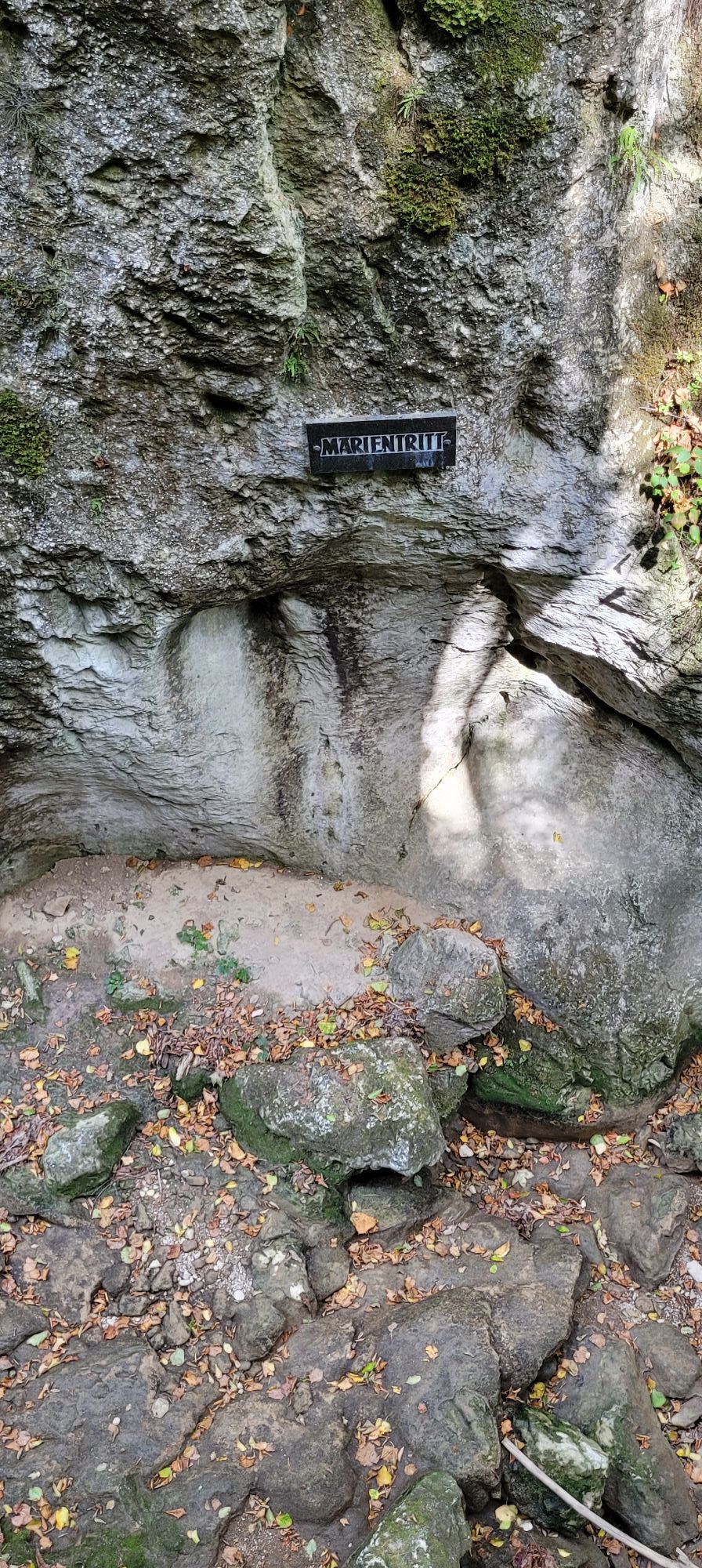
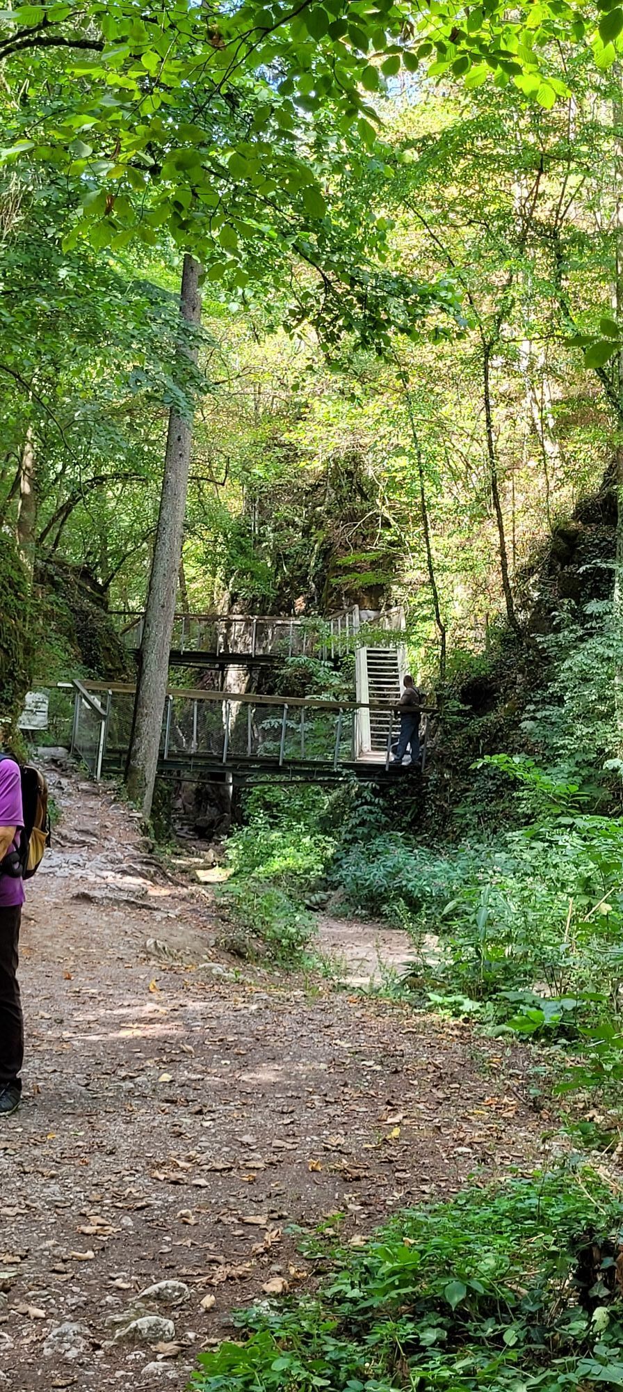
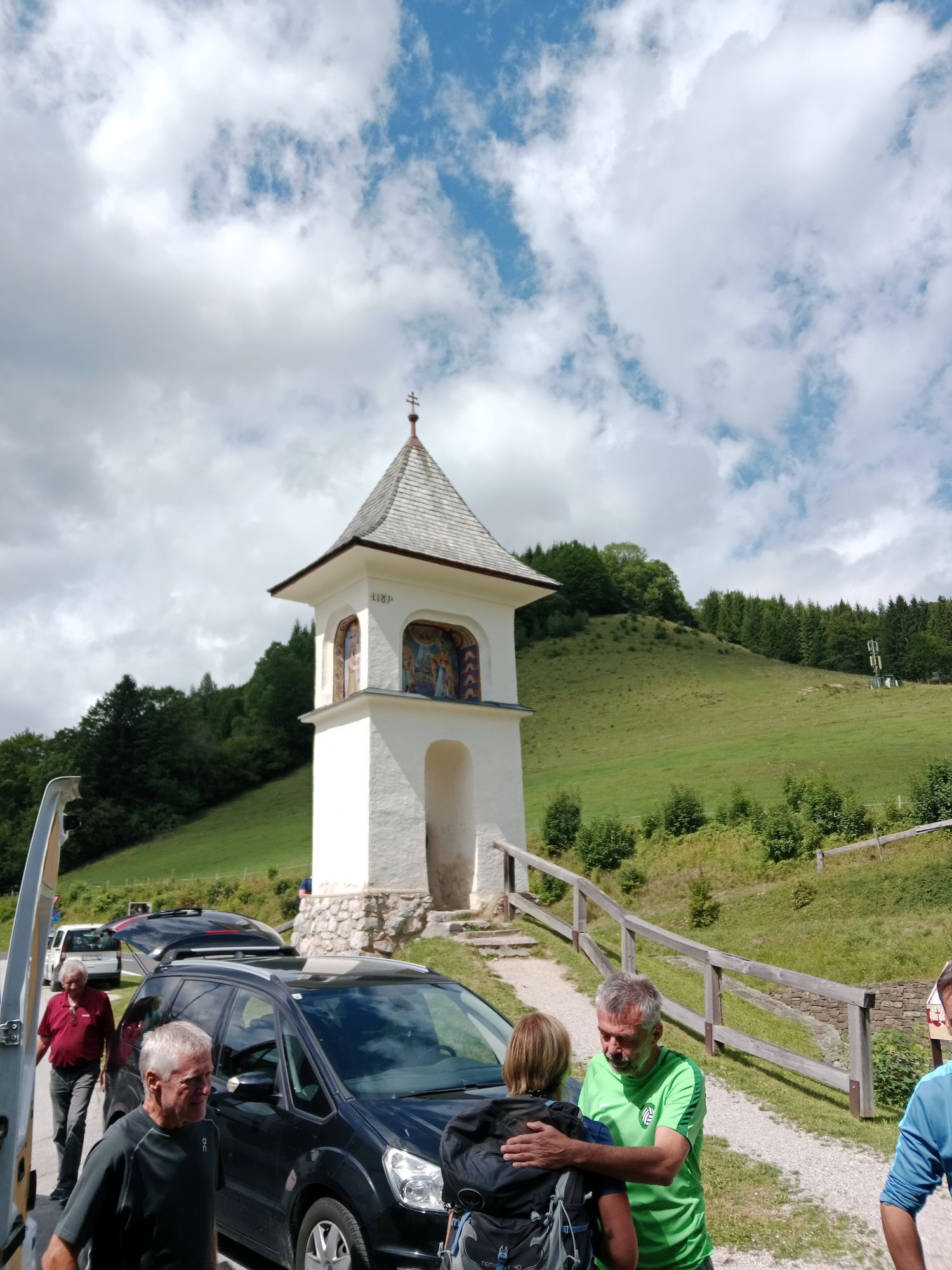
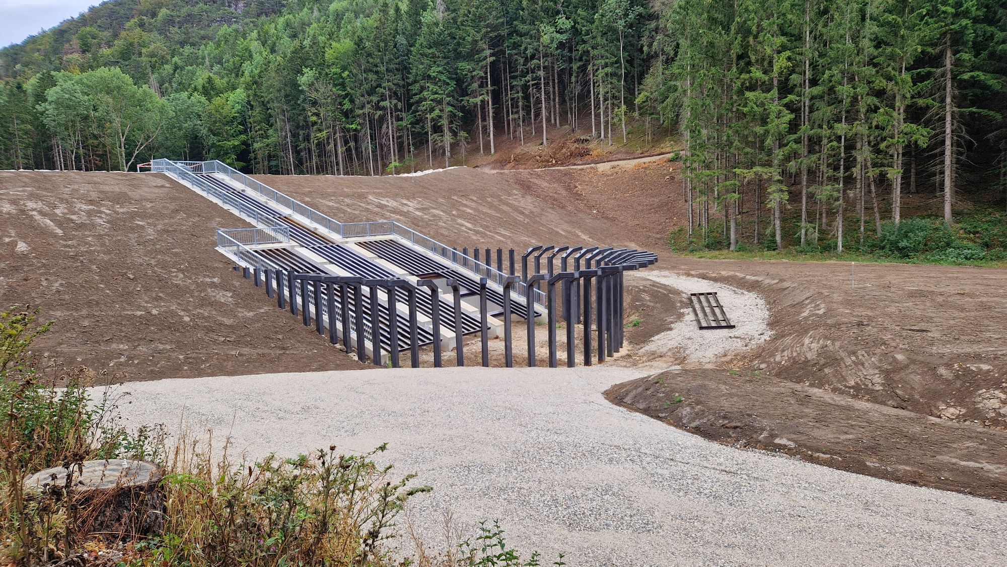



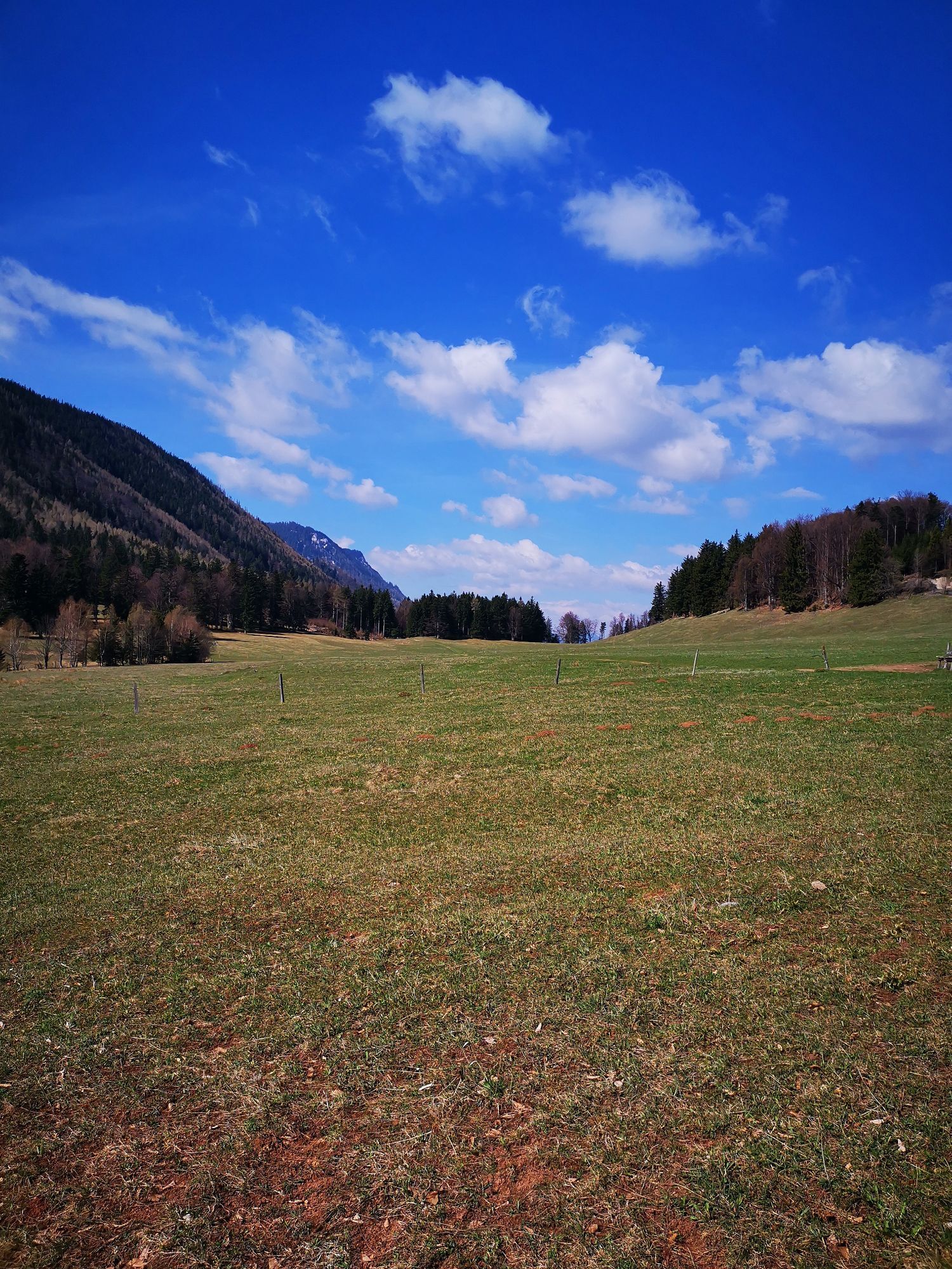


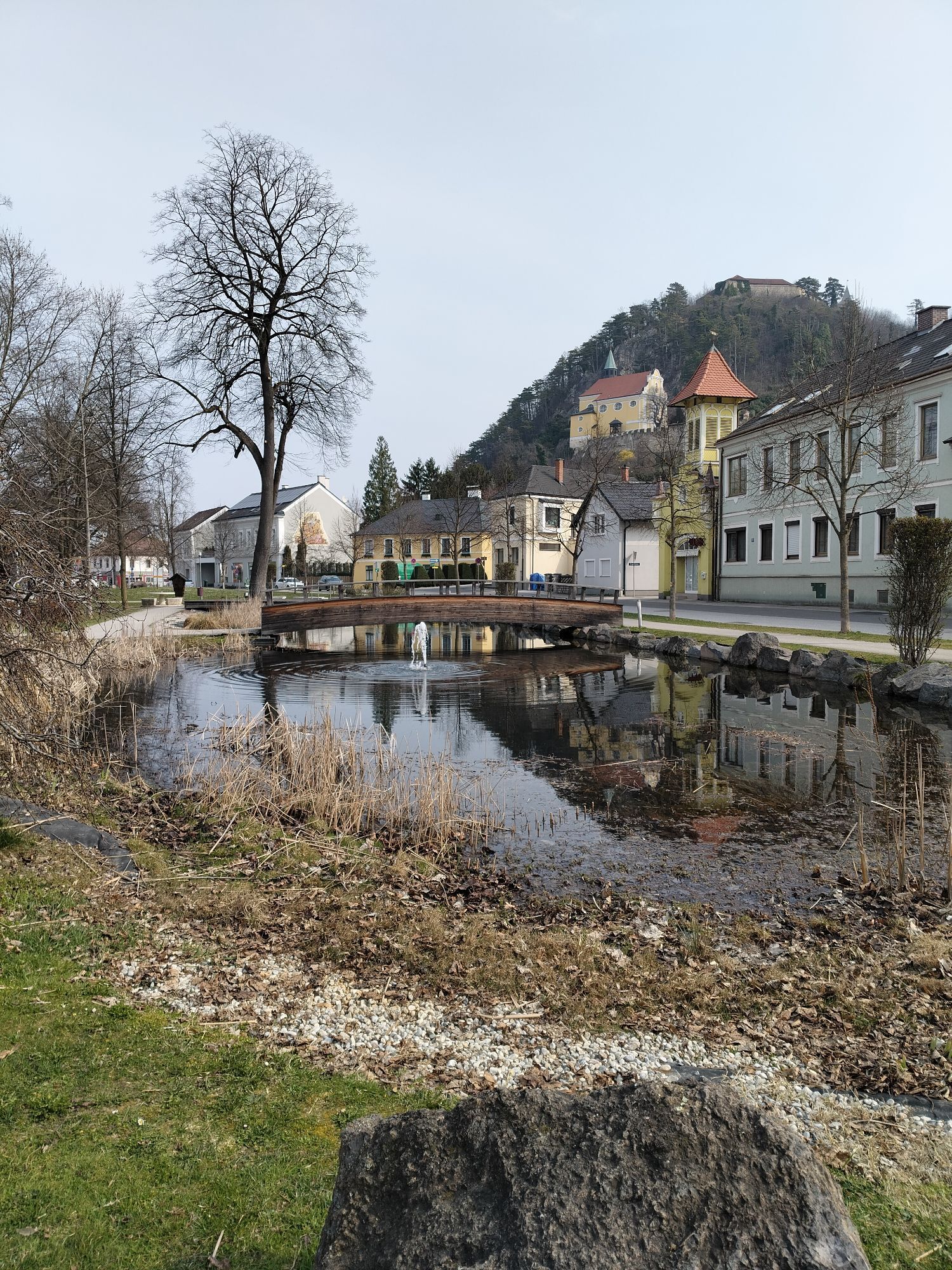
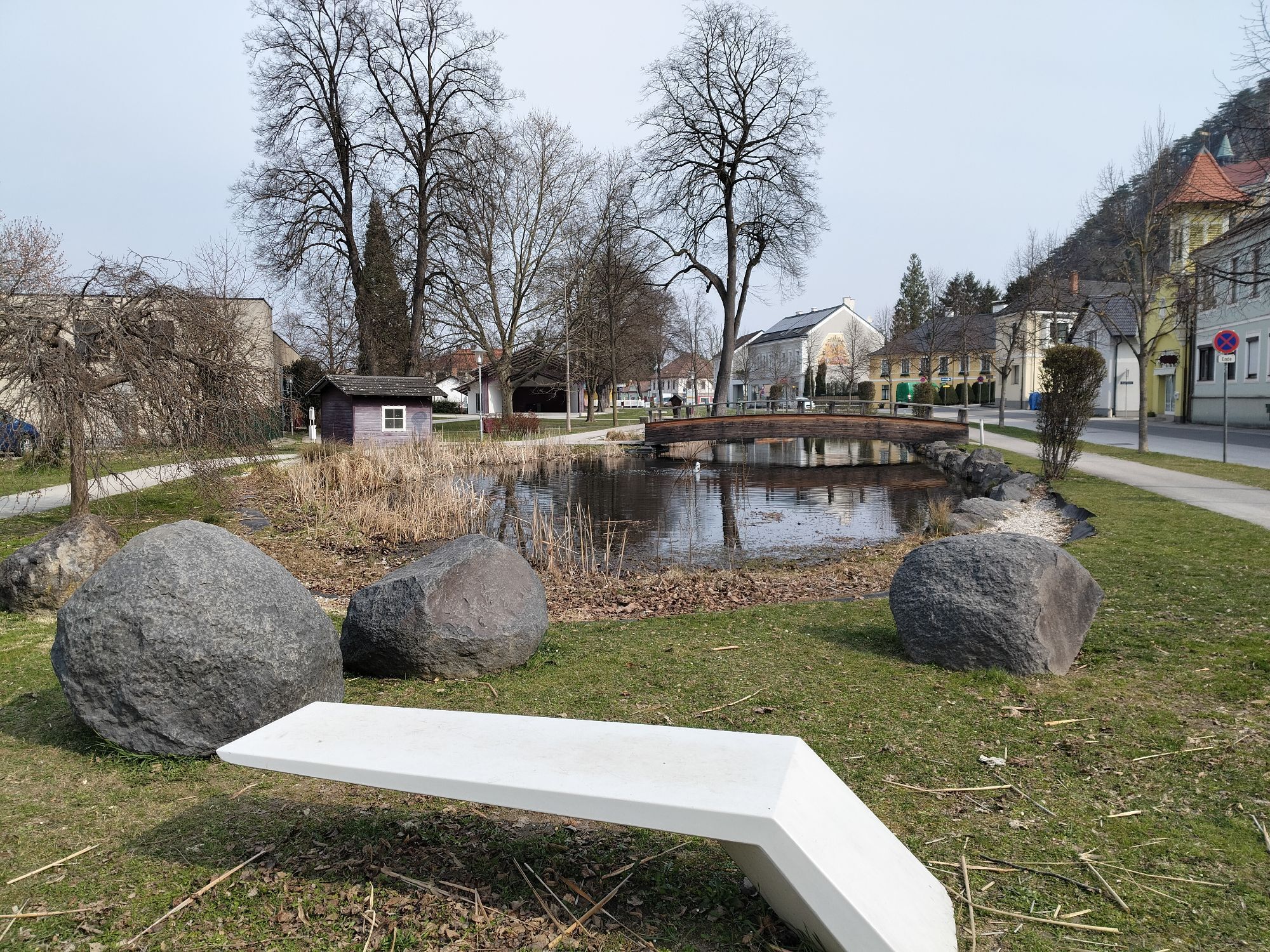

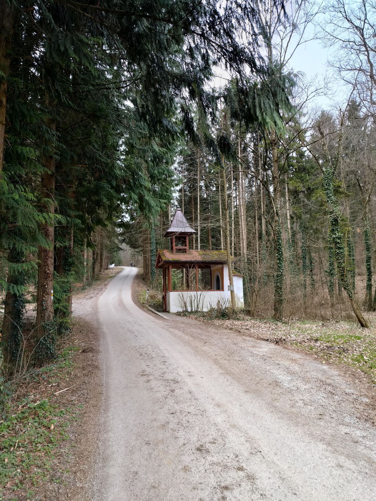


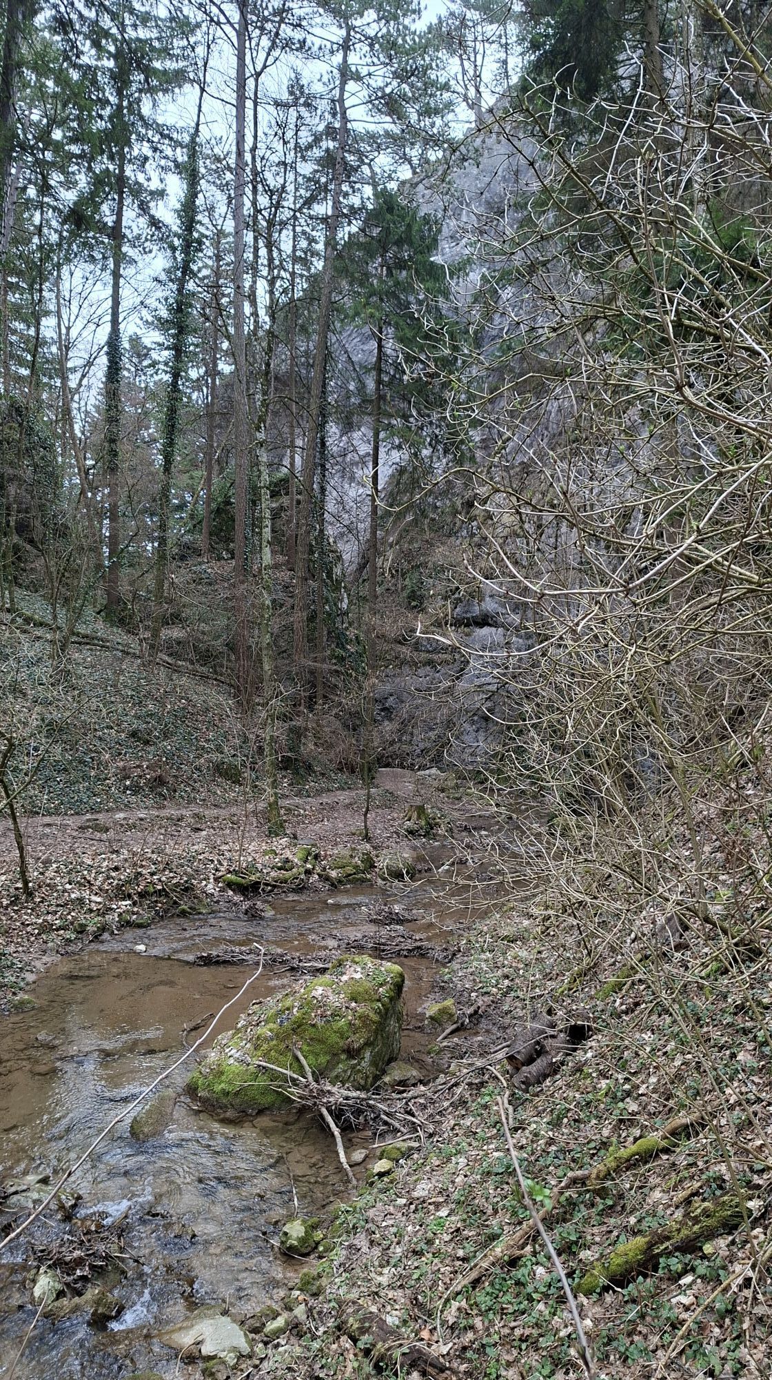
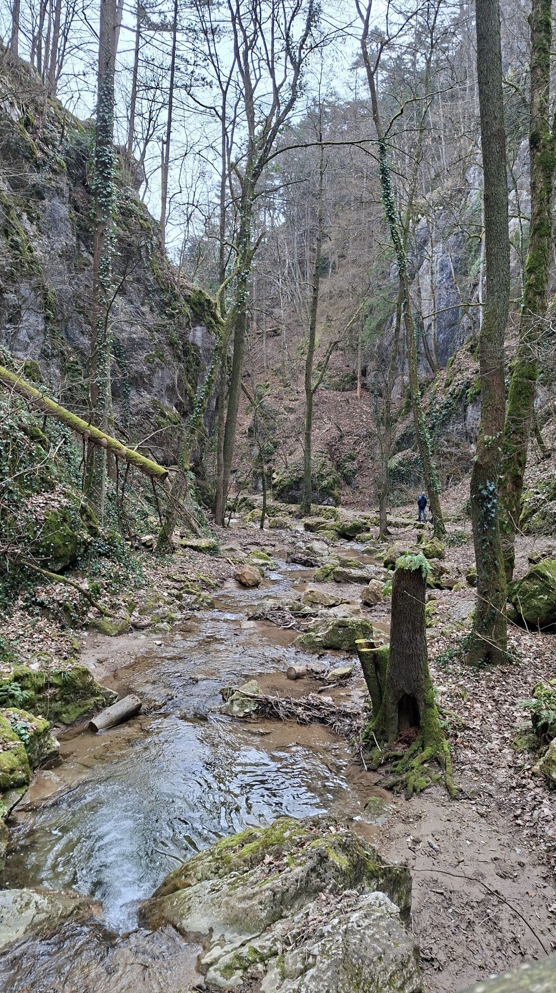




The Burgenland Mariazellerweg 06 leads in Burgenland from Eisenstadt to Forchtenstein Castle in the Rosalien mountains. Shortly thereafter, you reach the highest point of the Rosalien mountains at the...
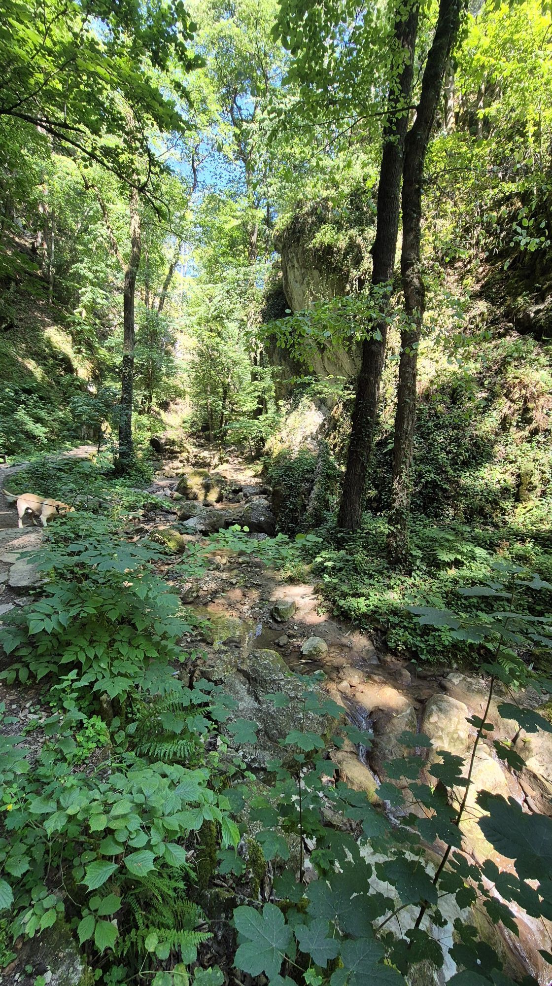
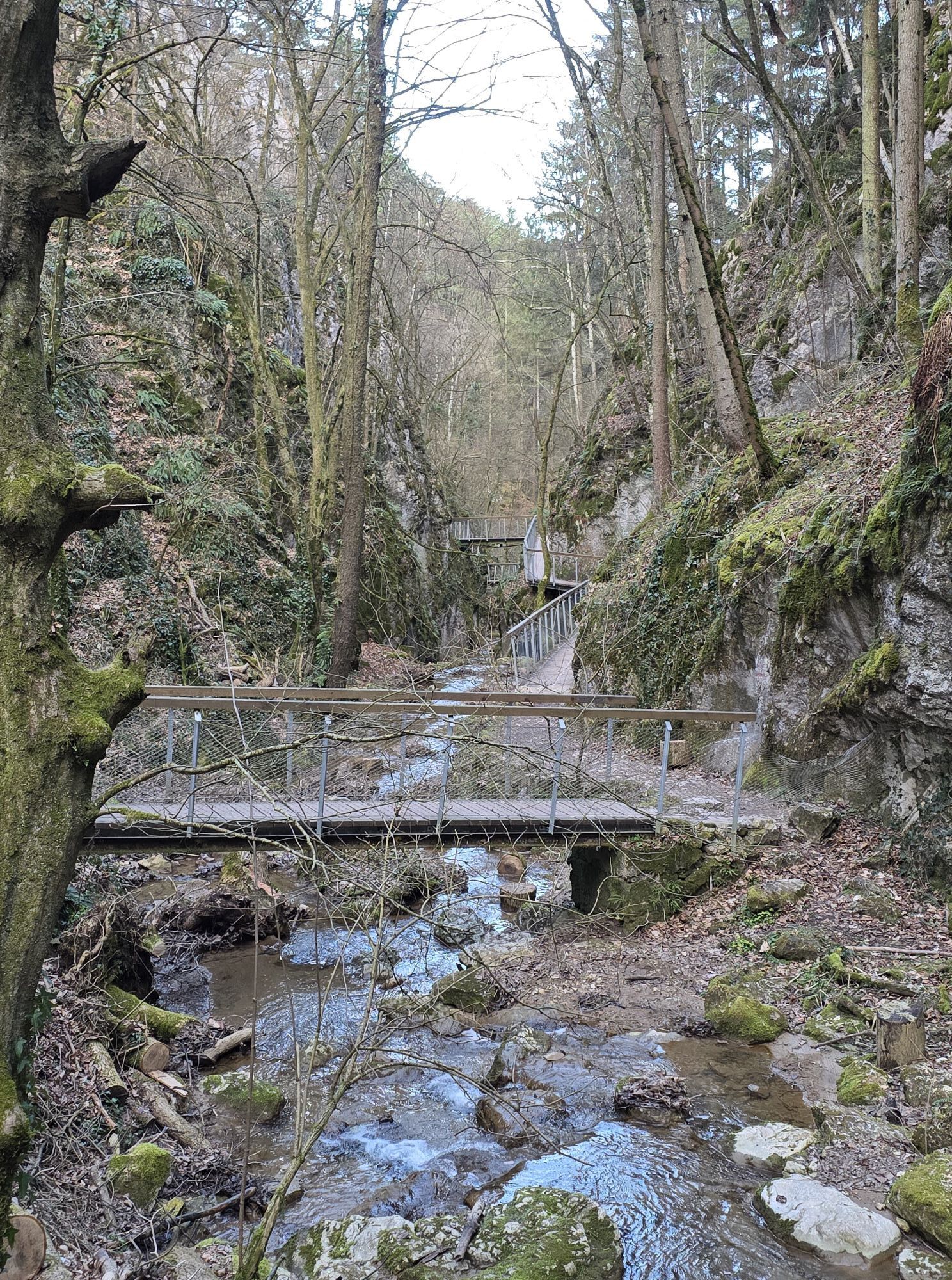
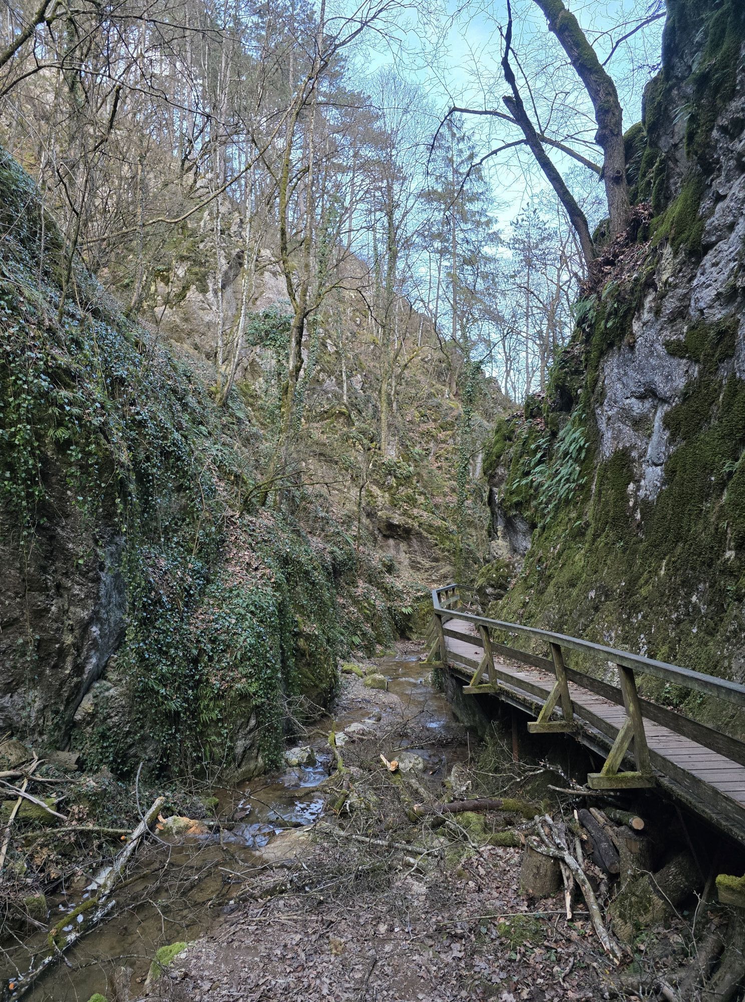
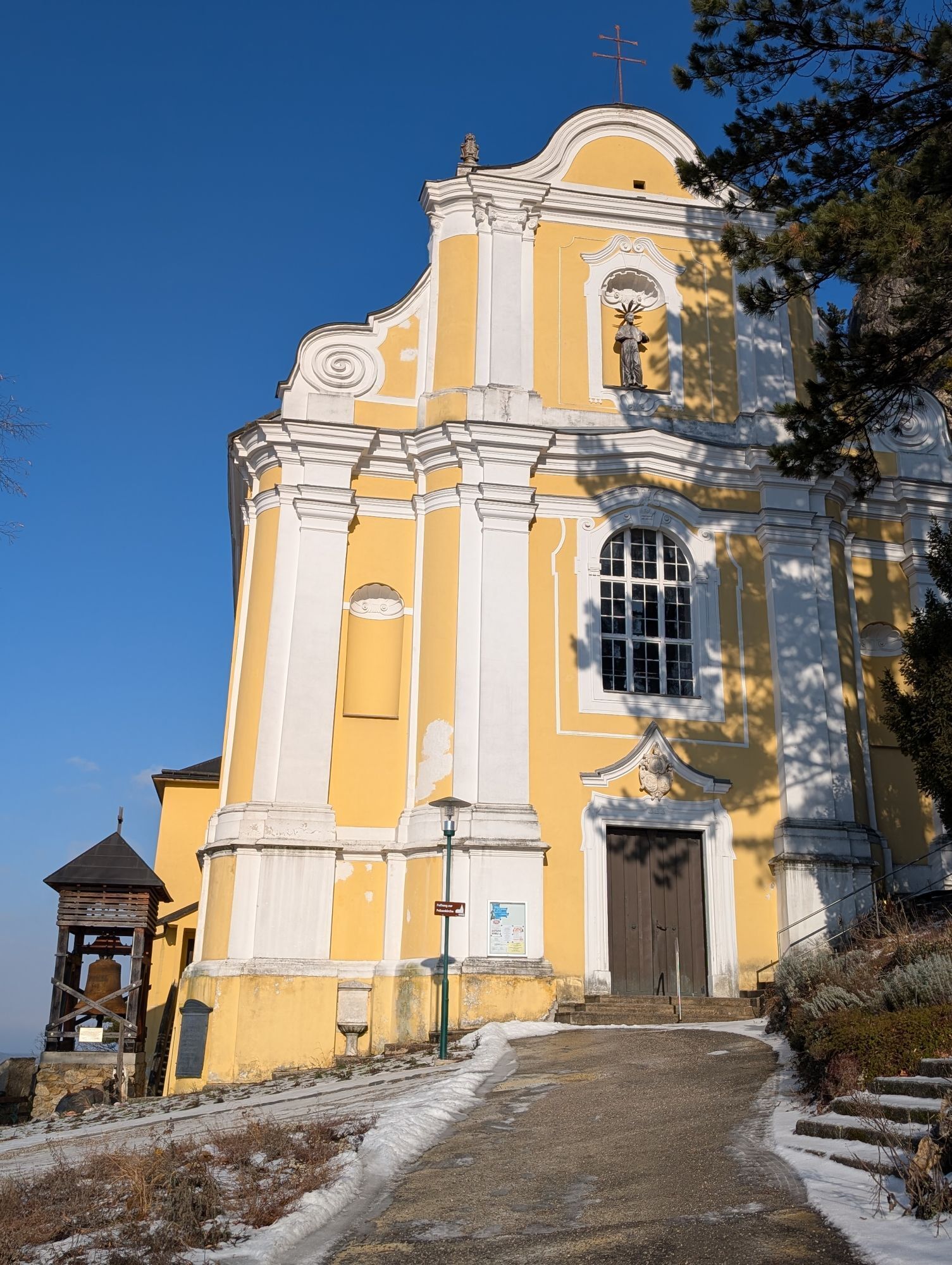
The Burgenland Mariazellerweg 06 leads in Burgenland from Eisenstadt to Forchtenstein Castle in the Rosalien mountains. Shortly thereafter, you reach the highest point of the Rosalien mountains at the Rosalienkapelle. Now begins the Lower Austrian section through the Vienna Alps. The path leads over Walpersbach to Pitten. Pilgrims now enter the plain of the Steinfeld with its famous pine forests. The hilly landscape of the Schneebergland is reached again near Würflach. One of the most beautiful sections of the pilgrimage trail leads through the romantic Johannesbach Gorge. Via Grünbach, you reach Puchberg am Schneeberg. You continue via the Mamauwiese to Schwarzau in the Mountains, the junction of many pilgrimage routes. At the Lower Austrian-Styria border, you cross the Gscheidl towards Frein an der Mürz. A gentle ascent leads via Schöneben to Mooshuben, where the pilgrimage cross is the first sign of arriving in Mariazell. From here, it is only a few kilometers to the place of grace.

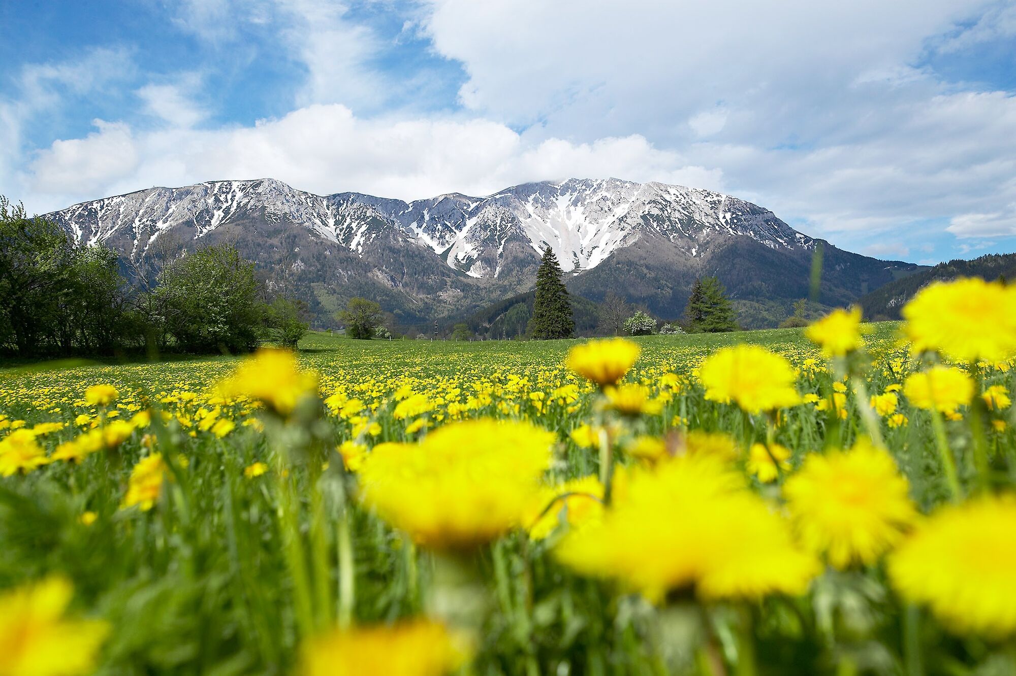
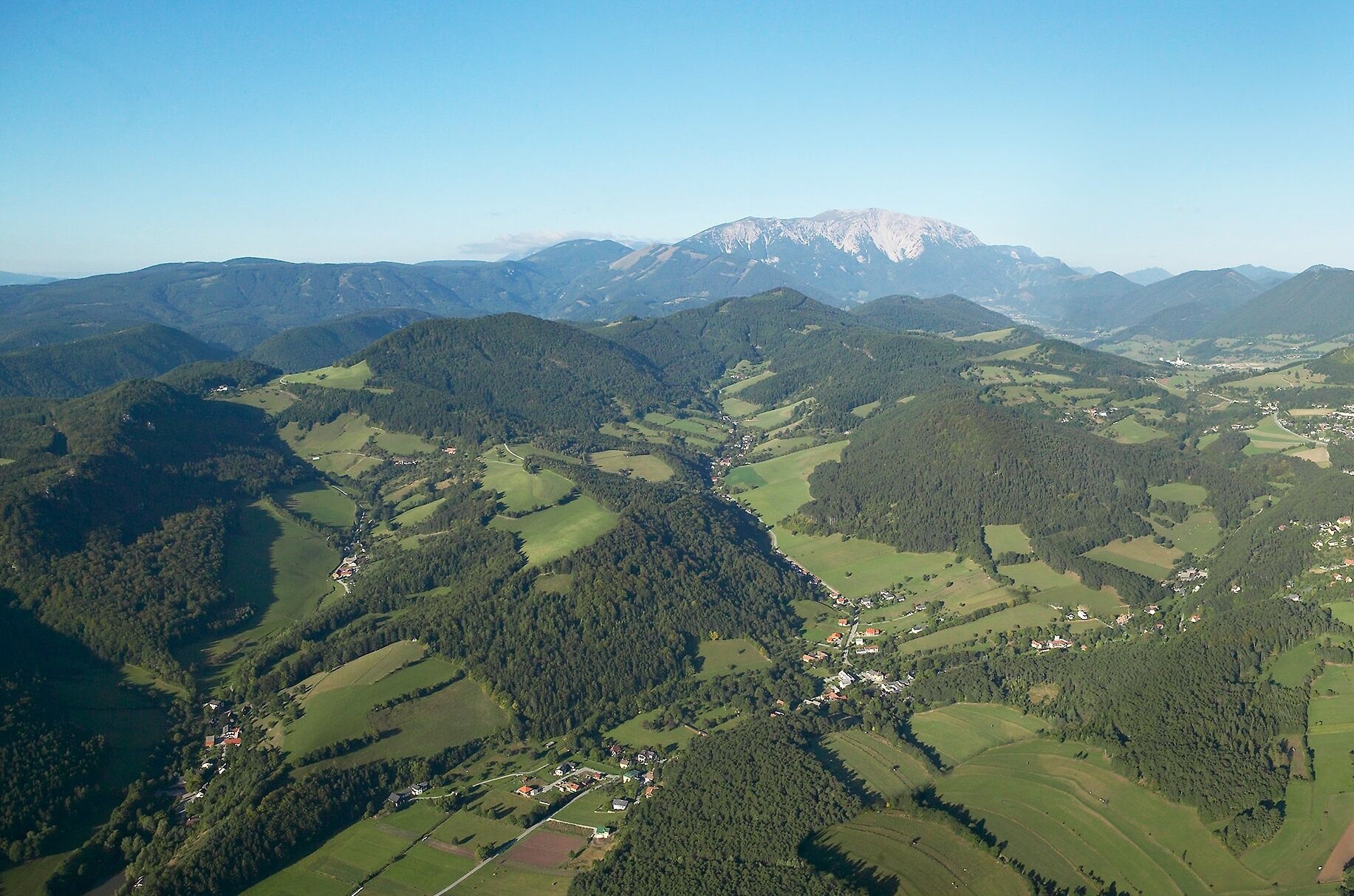

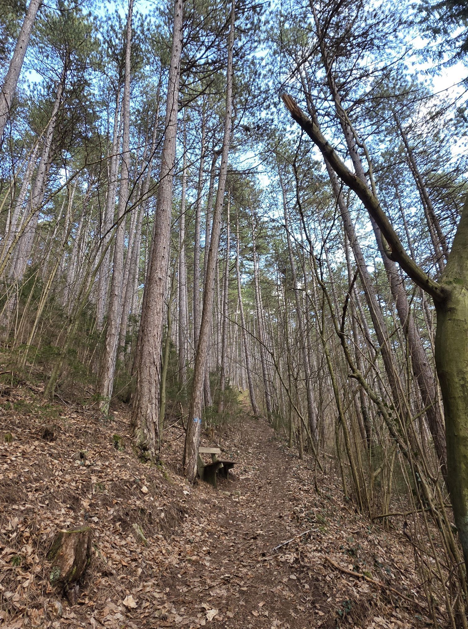
We start at the Rosalienkapelle at the Burgenland border and hike through the forests of the Rosalia down to Walpersbach. The Burgenland Mariazellerweg now leads us through numerous towns and landscapes of the "Vienna Alps". We follow the red-white-marked path and pass the following towns and landscape features in Lower Austria:
Pitten - Schwarzau am Steinfeld - Breitenau - Pine forest - Mollram - Hettmannsdorf - Würflach - Johannesbach Gorge - Greith - Rosental - Hornungstal - At Obersberg - Stolzenwörth - Pfennigbach - Puchberg am Schneeberg - Mittering - Fadengraben - Schwarzau in the Mountains - Preintal - Lahnwald - Gippel - Göller - Lahnsattel
It is recommended to choose the well-signposted route from Gescheidl to Frein an der Mürz. From the Freiner Hof inn, a quiet forest road leads to Schöneben and from there to Mooshuben. This route is car-free and wonderfully scenic.
Always take suitable maps with you. Wear sturdy shoes adapted to the route, bring sun and rain protection as well as water and a snack. Take your mobile phone and save the emergency number for mountain rescue: 140
Your hikes in the Vienna Alps should be a completely wonderful and safe experience. Please therefore observe the following:
Preparation
Make sure when choosing the route that it corresponds to your experience and fitness. Inform yourself in advance about the weather report. The weather can change surprisingly quickly in the mountains. Therefore always start out properly equipped (e.g., rain protection).
Check whether the huts and snack stations you want to visit en route are open. Inform someone about your chosen route and your planned return before you set out.
From Vienna follow A4 and S1, take exit 7-Leopoldsdorf on S1. Follow Ödenburger Str./B16 to Münchendorf. Follow A3 and S31 to Forchtenauerstraße in Mattersburg, take exit Forchtenstein on S31. Take Hauptstraße, Schlossbergstraße, and Rosalienstraße to Rosalia in Forchtenstein.
From Graz take S35 and S6, exit on S4 towards Lanzenkirchen. Turn right onto Frohsdorfer Straße. Continue on Wiener Neustädter Str., Frohsdorfer Hauptstraße, Schleinzer Str. Pass the roundabout. Continue on L148. Turn left onto Hollerbergstraße, continue to Rosalia.
From Wiener Neustadt central station, take the train or, if necessary, rail replacement service to Wiesen-Sigleß station (Mattersburgerstraße). Take regional bus 7993 (direction Rosalia Hochwolkersdorferstr.) to Rosalia Kapelle.
Further information at www.oebb.at and www.vor.at
Parking is possible in Forchtenstein.
Vienna Alps in Lower Austria, www.wieneralpen.at, +43 / 2622 / 78960
Book tip: Pilgrimage Paths to Mariazell. Mariazellerwege 06 (Authors: Erika and Fritz Käfer); published by Styria Verlag.


Webové kamery z prehliadky
-
Mariazeller Bürgeralpe - Berggasthof
-
Zuckerwiese
-
Fischerhütte
-
Fischerhütte
-
Damboeckhaus
-
Sessellift Losenheim
-
Hochschneeberg
-
Hochschneeberg
-
Puchberg
-
Baumgartner
-
Edelweisshütte Losenheim
-
Galerie Voka
-
Puchberg Kurpark
-
Sternwarte
-
Mariazell
-
Gemeindealpe Talstation
-
Elisabethkirche
-
Flugplatz St. Sebastian
-
JUFA Sigmundsberg
-
Eicherthütte
-
Fischerhütte
-
Bürgeralpe - Kristallsee
-
Schneeberg - Forellenhof
-
Mariazeller Bürgeralpe - Berggasthof
-
Gutenstein - Ferienwohnungen Mamauwiese
-
Mariazell
-
Mariazell
-
Hochwolkersdorf
-
Niederalpl
-
Feldbauer Mariazell
-
Mariazell
-
Rosalia
-
Rosalia
-
Rosalia
-
Rosalia
-
Rosalia
-
Schrattenbach
-
Sessellift Losenheim
-
Hauptplatz


Obľúbené výlety v okolí
-
4,6
Losenheim: Edelweißhütte - Fadensteig - Fischerhütte
strednáTuristika 11,5 km -
4,6
Zahnradbahn und Wandern am Schneeberg - Plateauwanderung
strednáTuristika 6,90 km -
4,7
Rax - Heukuppe
Turistika 15,6 km -
4,9
Insider tip: Schneeberg via the Novembergrat
ťažkéTuristika 13,5 km -
4,9
"Weichtalklamm" über Stock und Stein durch das Höllental - Weichtalhaus - Kientallerhütte 1340m
strednáTuristika 14,0 km -
4,9
SCHNEEBERG Losenheim Nandlgrat Klosterwappen Fadenweg 28.09.2017
ťažkéTuristika 15 km -
4,9
"Über den höchsten Nieder-Ösi" - Schneeberg - Weichtalklamm - Klosterwappen - Stadlwandleiten
strednáTuristika 17,7 km -
4,9
Rax
strednáTuristika 6,70 km -
4,8
RAX Hinternaßwald Reißtalklamm Bärenlochsteig Habsburghaus Kaisersteig retour 01.08.2017
ťažkéTuristika 15,6 km -
4,8
Gelände vom Grünbacher Sattel
strednáTuristika 7,52 km
Turistika a stopovanie


Nenechajte si ujsť ponuky a inšpiráciu na ďalšiu dovolenku
Vaša e-mailová adresa bol pridaný do poštového zoznamu.


