







Hansag Cycle Path
Úroveň náročnosti: 1
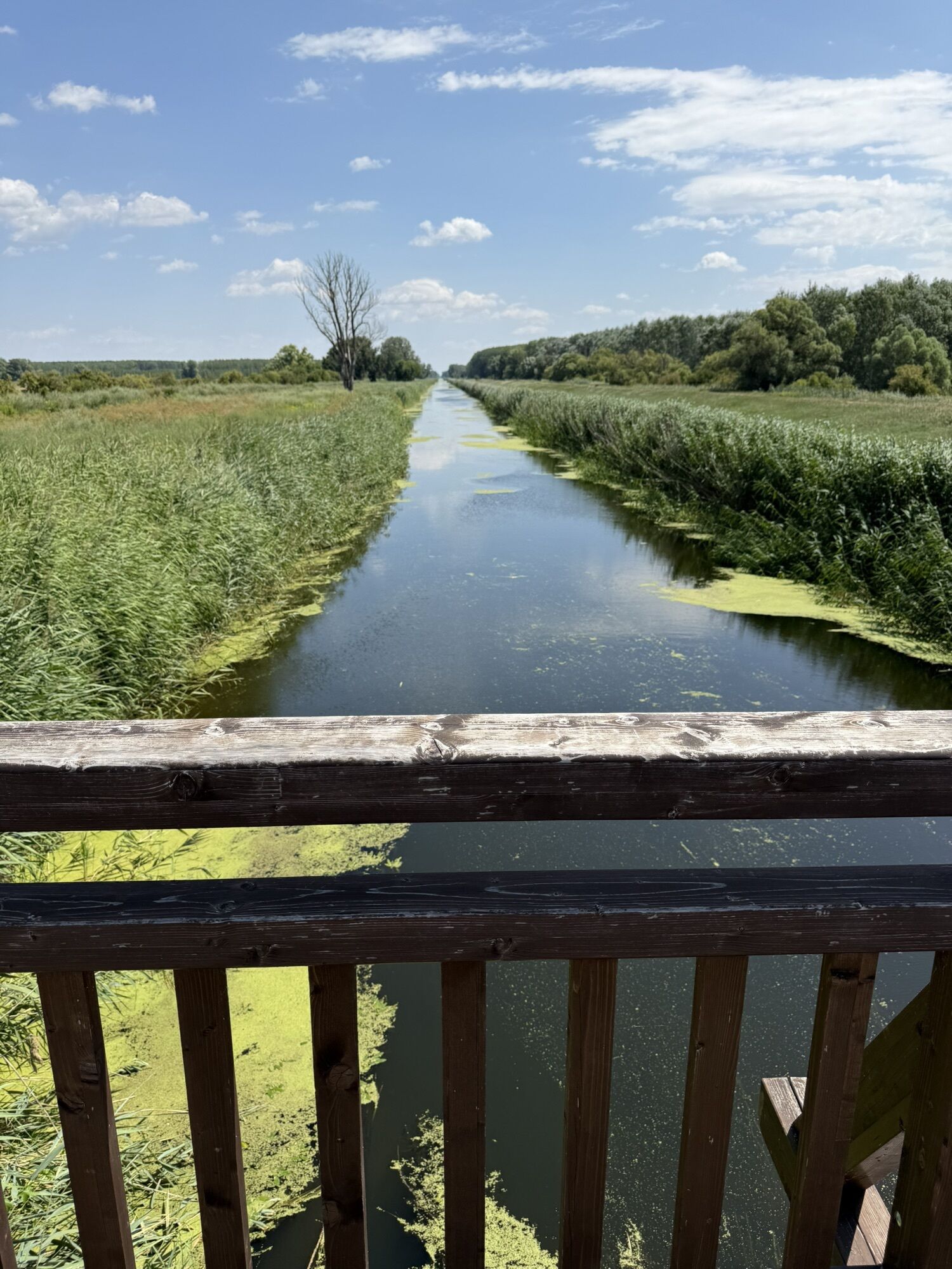
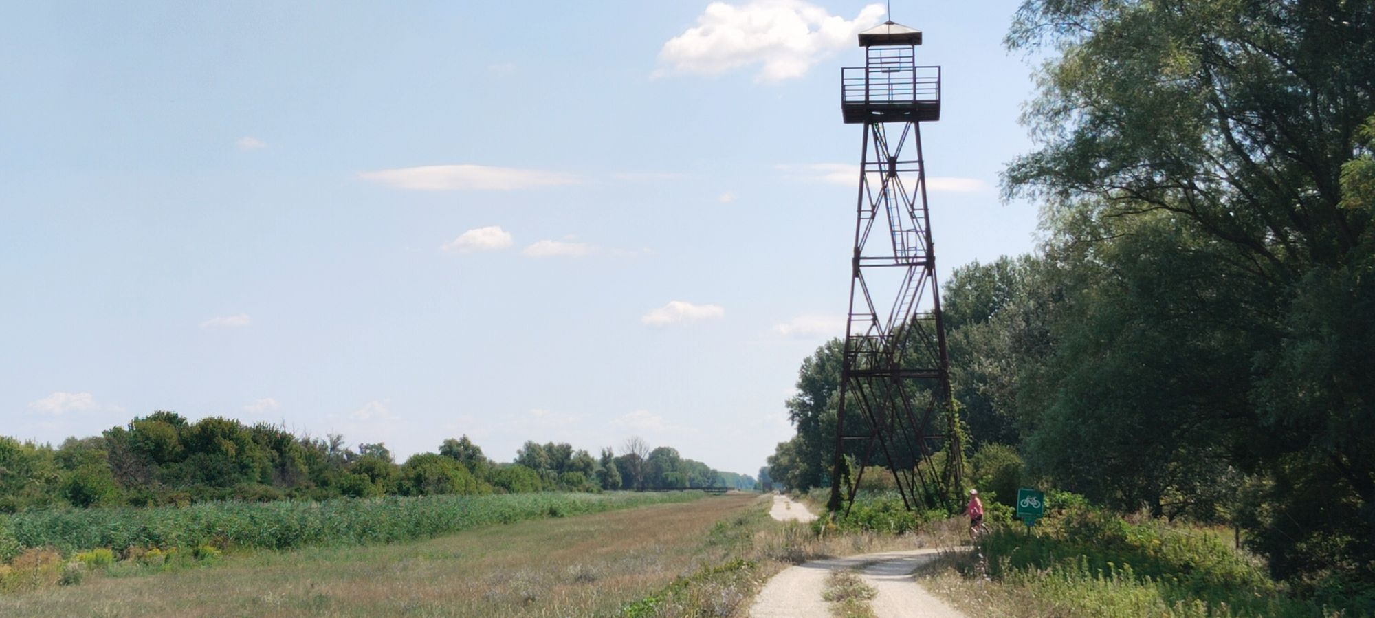
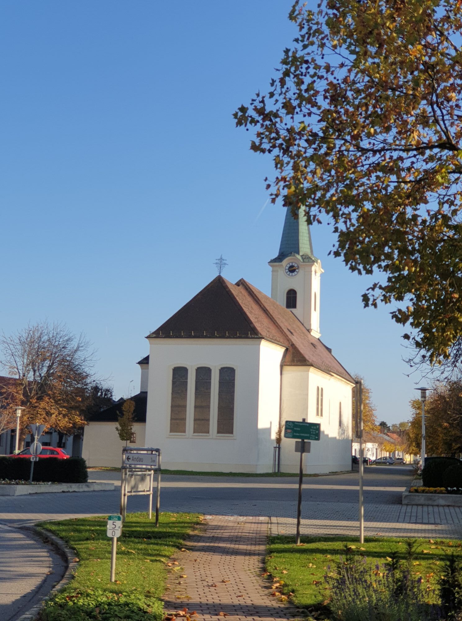
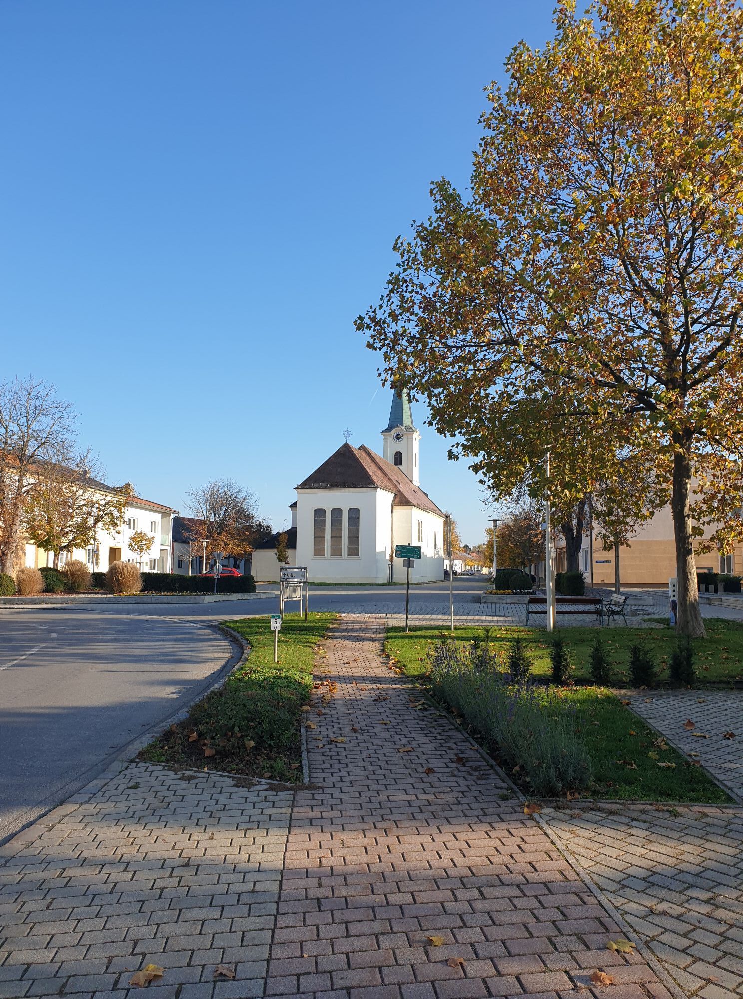
Cycle along the Einser Canal, past vineyards with views of the Pannonian plain. The landscape is reminiscent of the Hungarian Puszta. The Hansag Cycle Path surrounds the protected area of one of the symbols...
Cycle along the Einser Canal, past vineyards with views of the Pannonian plain. The landscape is reminiscent of the Hungarian Puszta. The Hansag Cycle Path surrounds the protected area of one of the symbols of the Neusiedler See - Seewinkel National Park: the famous and shy Great Bustard - whose sight fascinates not only bird lovers.
This cycle path is a insider tip for all cyclists who seek authenticity and peace. Only four towns lie on this cycle path, so it is advisable to provide your own snacks along the way. There is almost always a faithful companion here: the wind. Sometimes a gentle breeze, sometimes stormy it sweeps over fields and meadows, pushing the cyclist forward or resisting as an obstacle.
Because the Hansag Cycle Path (B22) has no elevations, it is also suitable for families.

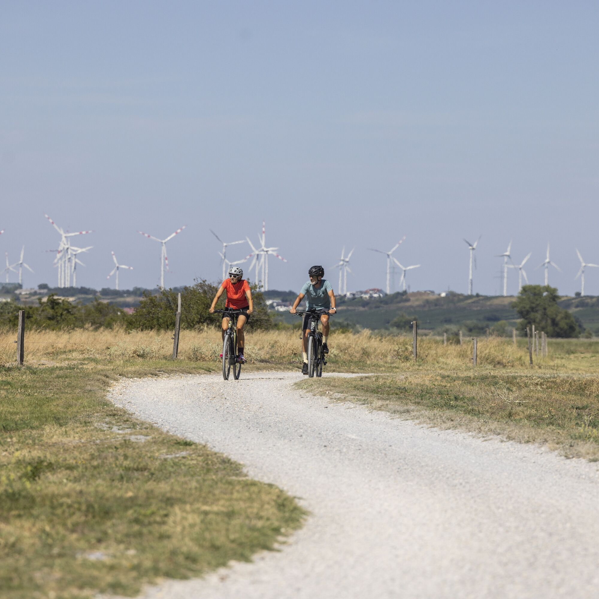
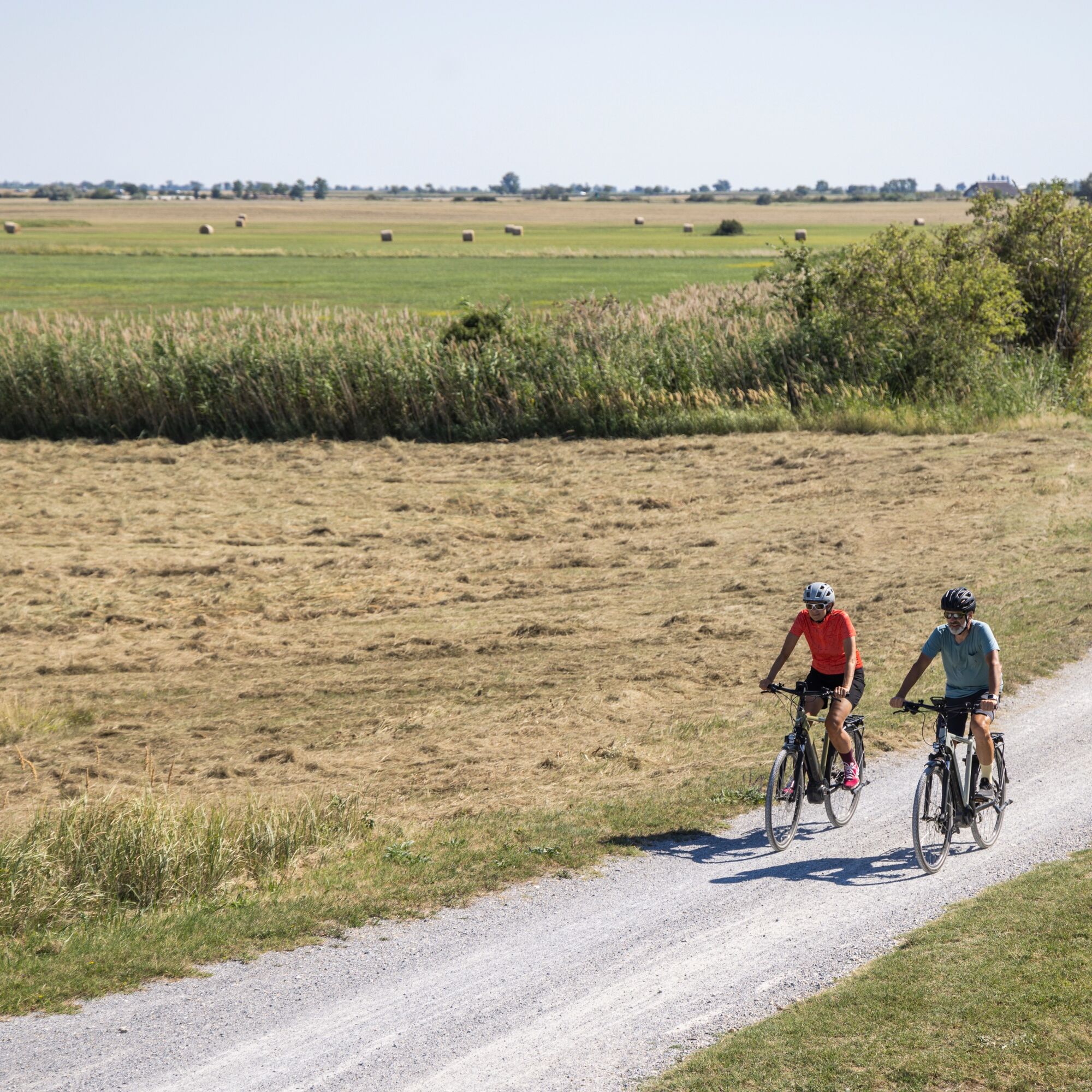

The cycle path is mostly asphalted, only a short section from the bridge of Andau towards Tadten is gravelled.
Places on B22: Halbturn, Andau, St. Andrä am Zicksee
INFO: Between Andau and Tadten you can also shorten or take a variant (approx. 3 km).
You can start in any town along the route, as it is a circular route!
A pair of binoculars is highly recommended as it allows you to explore the beauties of nature even better.
Since many cycle paths are agricultural access roads, agricultural traffic must be expected. Mutual consideration ensures that these paths remain pleasant to use for everyone.
Austria: Bicycle helmets are mandatory for children up to 12 years old. Reflective vests are not mandatory at dusk, darkness or poor visibility, but certainly advantageous. Here is the Austrian bicycle regulation.
Slovakia: Bicycle helmets are mandatory for all children under 15 years. For adults helmet obligation applies only outside urban areas. However, it is strongly recommended that adults also always wear a bicycle helmet. Cyclists riding on the roadside in reduced visibility must wear visible signaling elements or a reflective vest.
Hungary: There is no helmet obligation for cyclists. The maximum speed for cyclists outside built-up areas is 40 km/h. A speed of 50 km/h is allowed if the cyclist wears a helmet. At night and in poor visibility all cyclists must wear a reflective vest.
Travel documents: Valid ID card or passport is mandatory!
Details on arrival can be found here: Calculate route
Arrival by train:
Neusiedler See is easily and comfortably accessible by train. Whether you come from Switzerland, Germany, the west or south of Austria: you can change trains relaxedly at Vienna main station. The ÖBB regional trains take you to Neusiedl am See station in just under 40 minutes, where coordinated bus and train connections to St. Andrä am Zicksee are also offered. In most trains, bringing a bike is possible: on Railjets and EC/IC as well as Nightjets a reservation for your bike is absolutely necessary. In regional trains your bike is taken without reservation depending on the availability of bike racks.
Timetable info: www.oebb.at
If you arrive by car and want to park in one of the towns, please contact the respective tourist office.
1
The Burgenland App also informs you about routes, course and altitude meters on the go.
Are you looking for a ready-made package for your active holiday? Here you will find it: Package offers at Neusiedler See
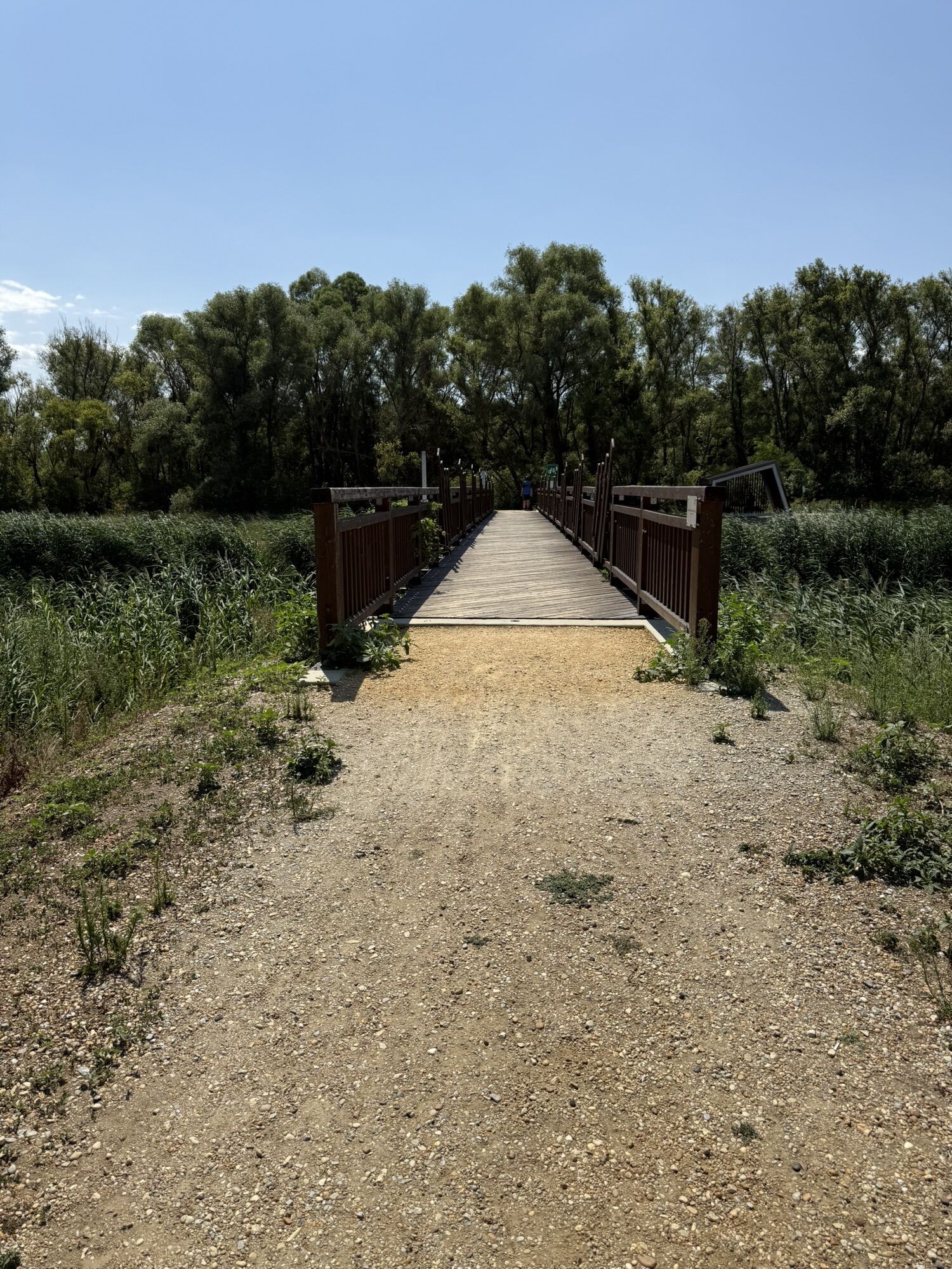
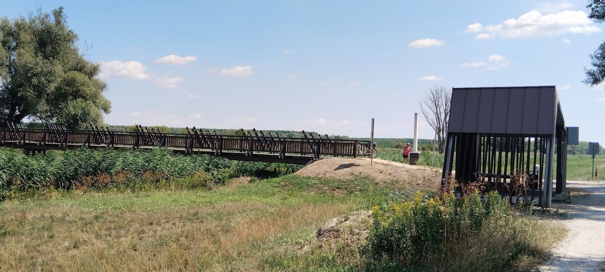
In Andau you should definitely visit “The Bridge of Andau”: a flight route for thousands of Hungarians in 1956, it has become a meeting place for international artists who line the area with objects and sculptures in the spirit of the historical events.
With the Burgenland Card: Unlimited holiday fun & offers as far as the eye can see!
All info here: Burgenland Card
 Získajte prehľad
Vždy naživo na mieste s viac ako 9 500 webovými kamerami. bergfex Ako používateľ Pro si teraz môžete pozrieť príslušné webové kamery pre mnohé zájazdy v aplikácii zájazdy z. Môžete si tak priamo prezerať aktuálne podmienky.
Získajte prehľad
Vždy naživo na mieste s viac ako 9 500 webovými kamerami. bergfex Ako používateľ Pro si teraz môžete pozrieť príslušné webové kamery pre mnohé zájazdy v aplikácii zájazdy z. Môžete si tak priamo prezerať aktuálne podmienky.
Obľúbené výlety v okolí
-
3,8
Lange Lacke, Burgenland
svetloTuristika 8,68 km -
4,7
24 Long Lacke Run (Lake Neusiedl - Seewinkel Running Park)
svetloBeh 7,95 km -
5,0
B23 Kultur - Radweg
svetloCyklistika 27,2 km -
Hölle - Steppentierpark - Weiße Esel
strednáElektronický bicykel 56,1 km -
Im einzigartigen Seewinkel
Cyklistika 93,4 km -
Lange Lacke cycle path
svetloCyklistika 12,0 km -
4,5
8 Discovery loop (Lake Neusiedl - Seewinkel running park)
svetloBeh 4,89 km -
3,0
BERNSTEIN TRAIL East route | Stage 3 | Frauenkirchen - Illmitz
strednáTuristika 24,3 km -
Hansag cycle path extension
svetloCyklistika 42,6 km -
NP1 National Park Cycle Route
strednáCyklistika 153,7 km
Turistika a stopovanie


Nenechajte si ujsť ponuky a inšpiráciu na ďalšiu dovolenku
Vaša e-mailová adresa bol pridaný do poštového zoznamu.





