







Waterway - Silesian Tree

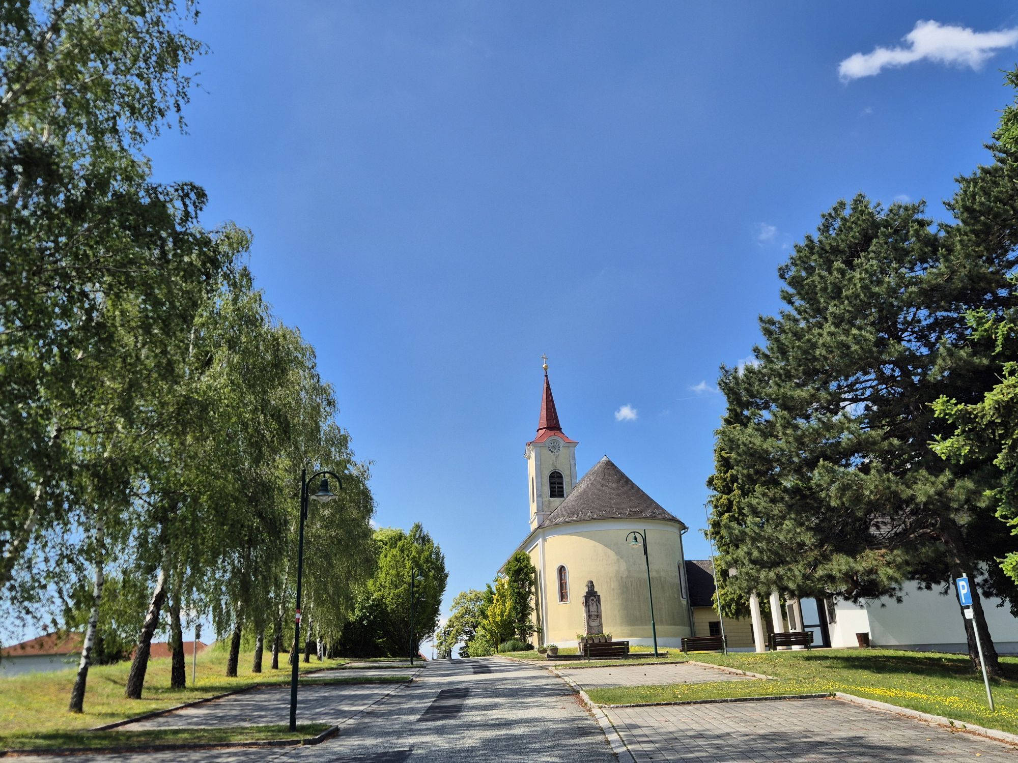
The Wasserweg is a hiking and pilgrimage trail that mainly follows forest and field paths and runs, for the most part, through shady forests and along the banks of the Saubach. The Saubach separates the...
The Wasserweg is a hiking and pilgrimage trail that mainly follows forest and field paths and runs, for the most part, through shady forests and along the banks of the Saubach. The Saubach separates the districts of Maria Bild and Krobotek and also serves as the boundary stream between the two municipalities of Weichselbaum and Mogersdorf. The trail has long served as a pilgrimage route for pilgrims traveling to Maria Bild and is lined with pilgrimage stations and numerous places for meditation in the midst of nature. These invite you to pause and let go, so you can recharge your strength and renew your energy.

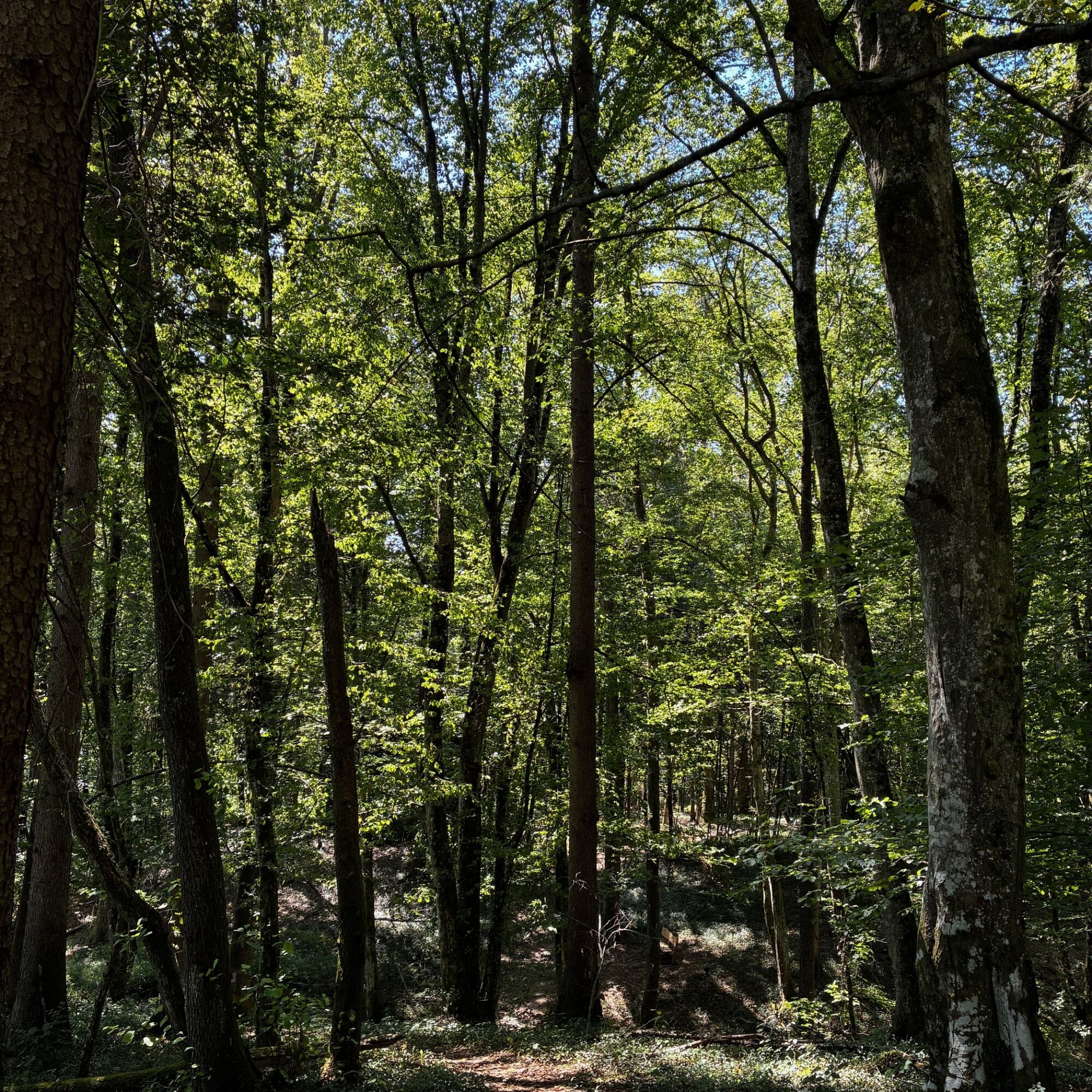
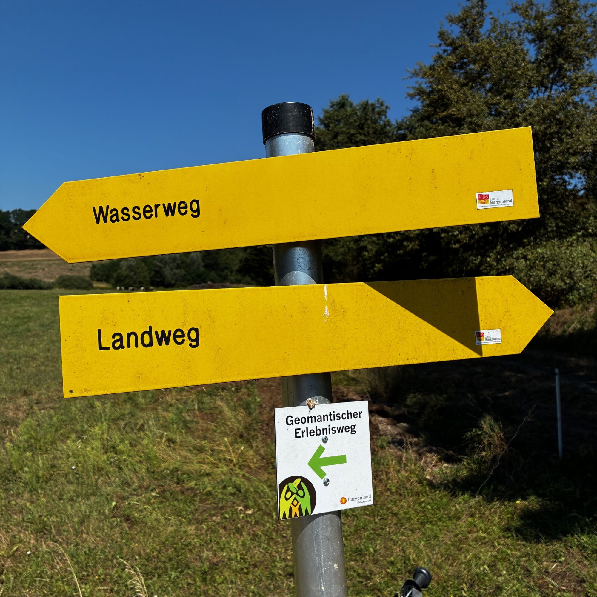
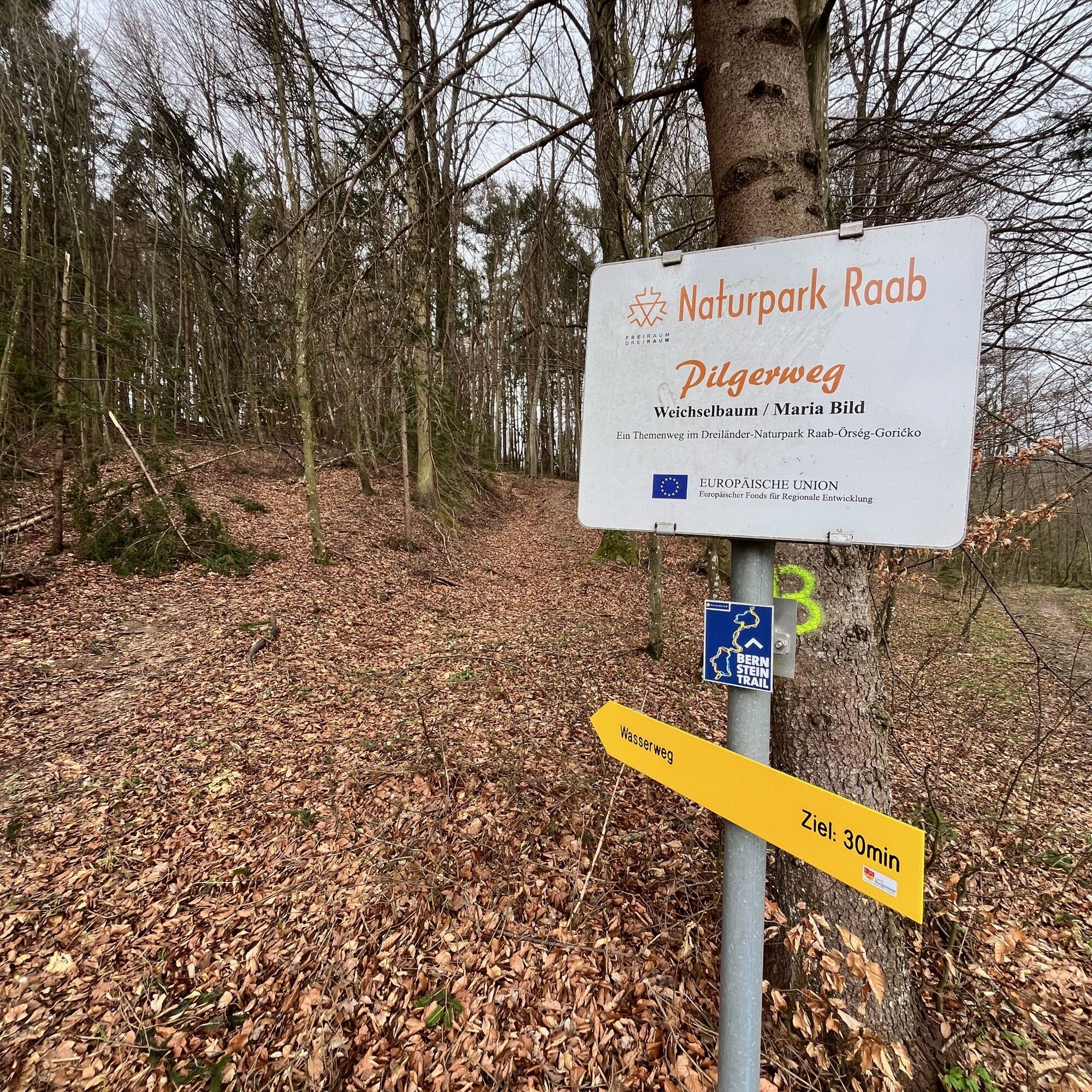
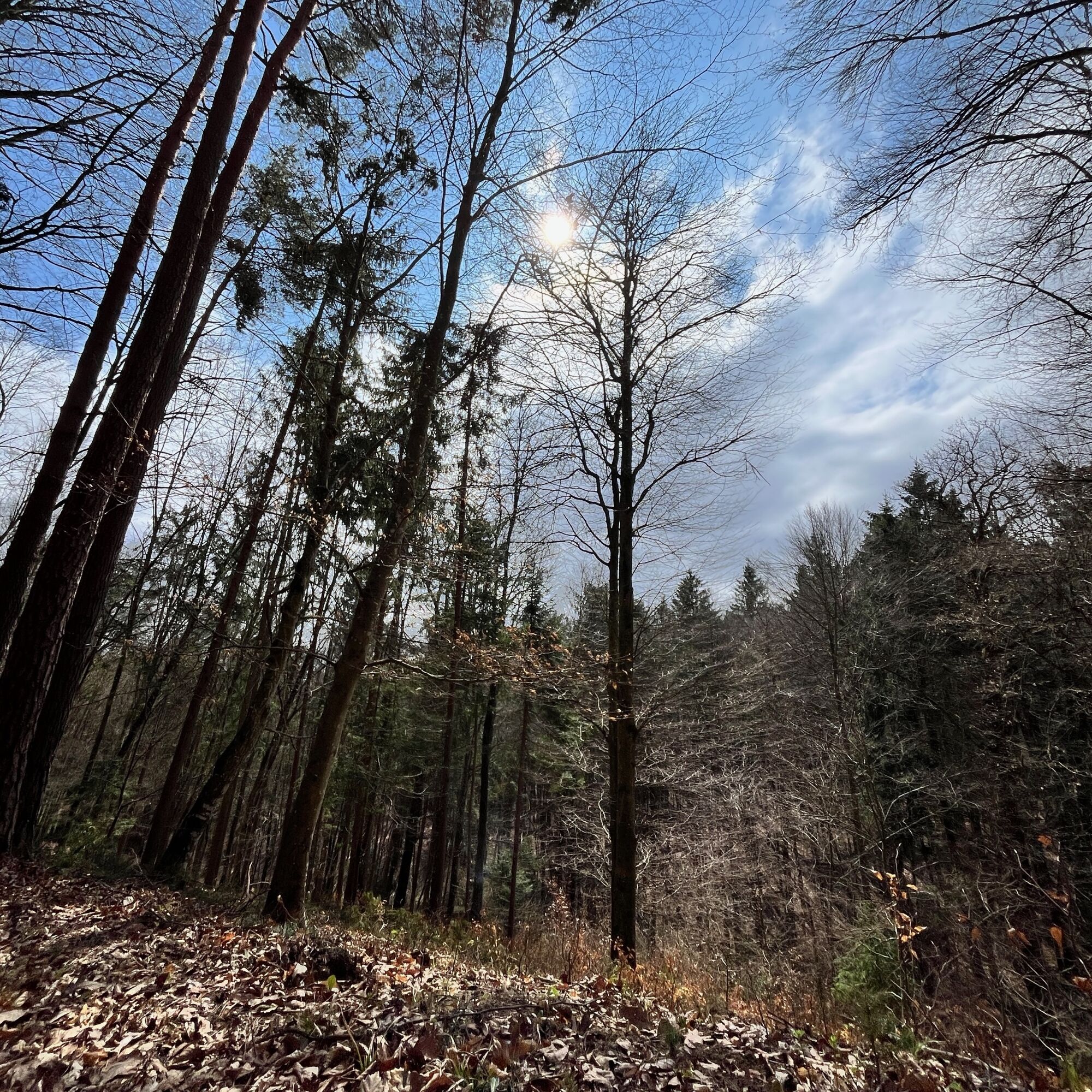
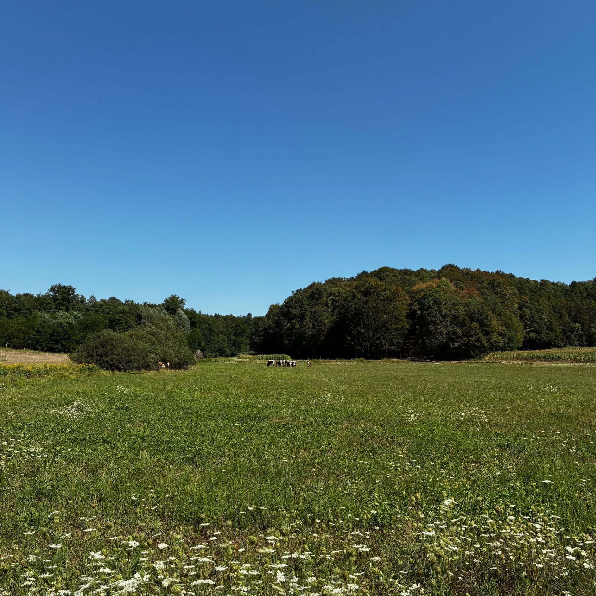

The trail continues through shaded forest sections and along the Saubach stream. Along the way, you’ll pass several pilgrimage stations and quiet spots that invite you to linger and reflect. The Saubach stream runs alongside the trail for long stretches and also forms the border between the municipalities of Weichselbaum and Mogersdorf.
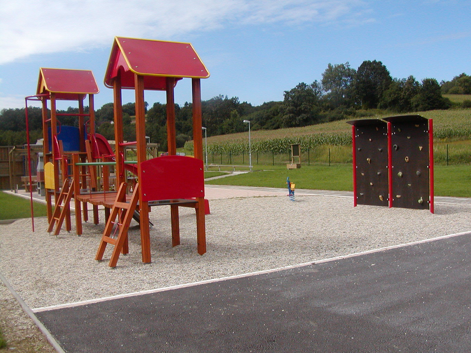
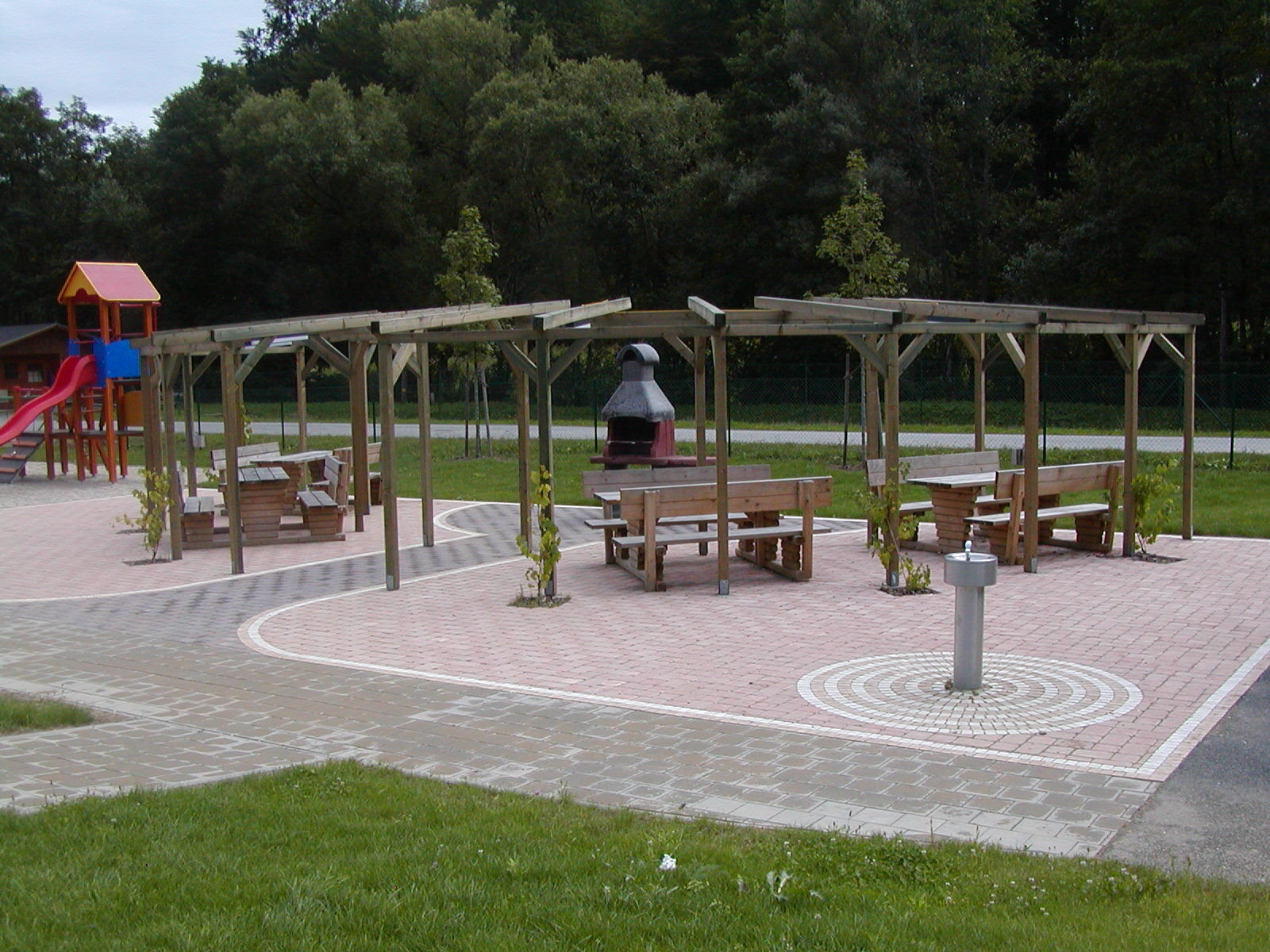
Via additional forest and field paths, the loop eventually leads back toward Maria Bild. Along the route is also the “Funcourt,” a playground and recreation area that’s particularly well-suited for a break with children.
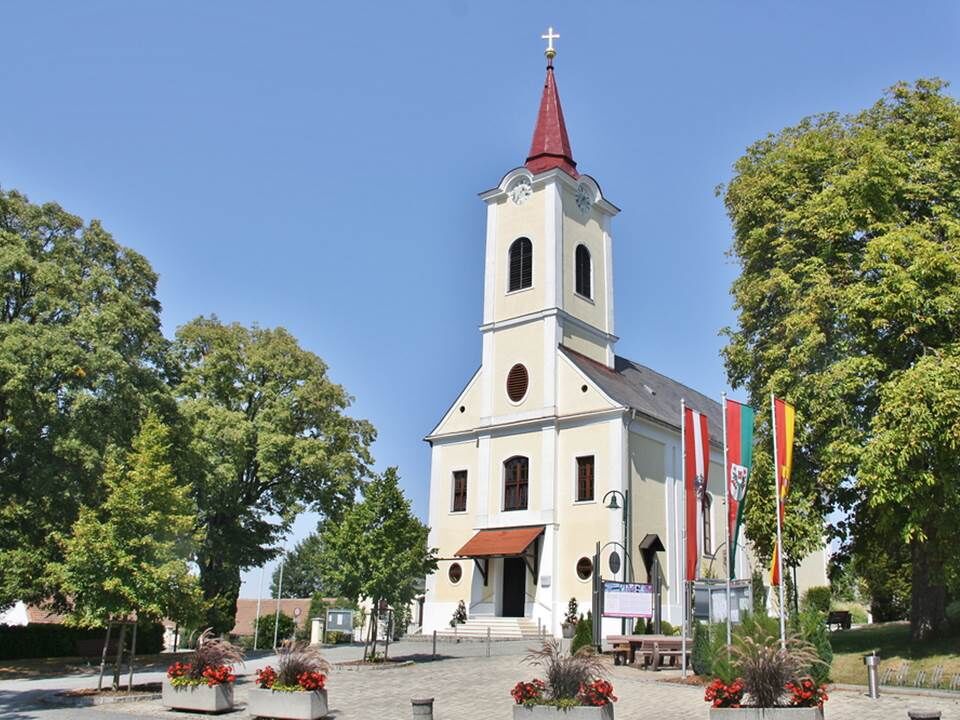
Finally, the trail leads back to the Maria Bild pilgrimage church, the starting point of the hike.
Áno
Sturdy, comfortable shoes
Clothing appropriate for the weather
Plenty of drinks
Sunscreen, if needed
A small snack for the trip
Be especially mindful of local conditions and potentially slippery spots in the Saubach area.
From Vienna: Take the A2 toward Graz to the Ilz/Fürstenfeld exit. Continue through Jennersdorf toward Maria Bild. Follow the signs to the Maria Bild pilgrimage church.
The starting point of the hike is at the Maria Bild pilgrimage church. Parking is available on site.
Water, the source of life, will be your companion. An idyllic path along the stream leads you right into the heart of the beautiful cultural landscape.


Obľúbené výlety v okolí
-
4,5
Stock & Stein (kurze Variante "Wein-Erlebnis-Weg Bad Loipersdorf")
svetloTuristika 10,7 km -
4,5
Erlebensweg der Sinne in Unterlamm
svetloTuristika 14,6 km -
5,0
Smuggler's Route
Turistika 8,03 km -
4,8
Wein-Erlebnis-Weg Bad Loipersdorf
strednáTematická trasa 16,6 km -
4,6
Kleiner Höhenrundweg / Weg 5
svetloTuristika 6,75 km -
4,0
Fantastische Tour
strednáCyklistika 37,7 km -
3,9
Raabtaltour - FF 17
svetloCyklistika 37,5 km -
2,9
Paradiesroute
ťažkéDiaľková cyklotrasa 261,6 km -
4,1
Dreiländereck Österreich-Ungarn-Slowenien - Start Gasthaus Lang, Kölbereck-Oberdrosen
svetloTuristika 2,25 km -
4,8
FF 14 Mühlentour
strednáCyklistika 28,6 km
Turistika a stopovanie


Nenechajte si ujsť ponuky a inšpiráciu na ďalšiu dovolenku
Vaša e-mailová adresa bol pridaný do poštového zoznamu.





