


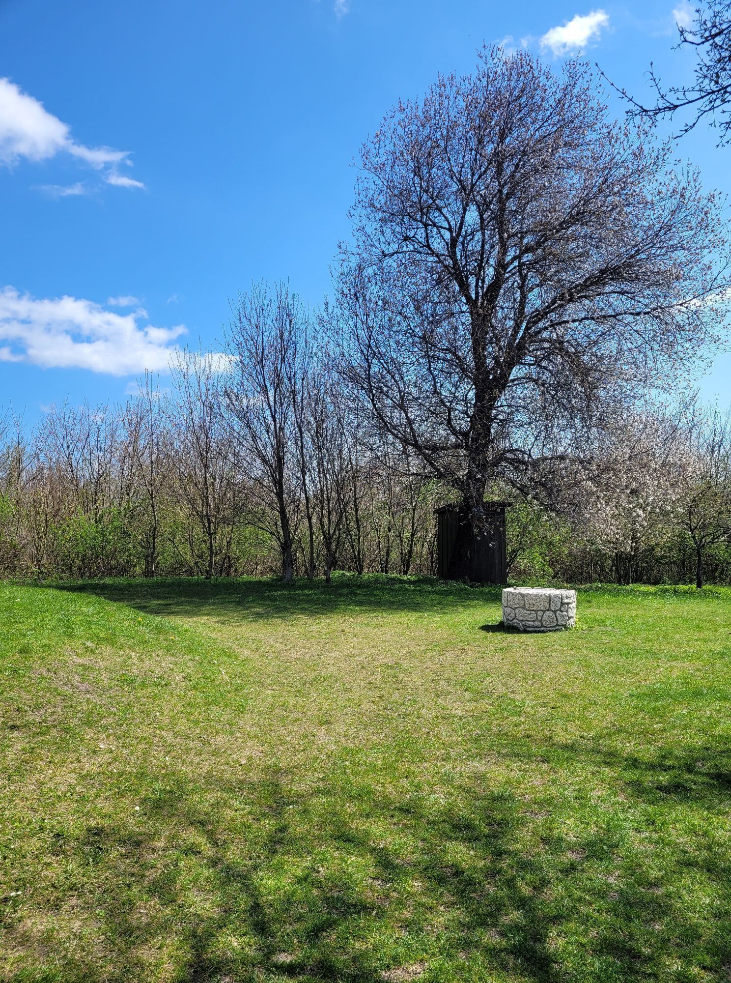
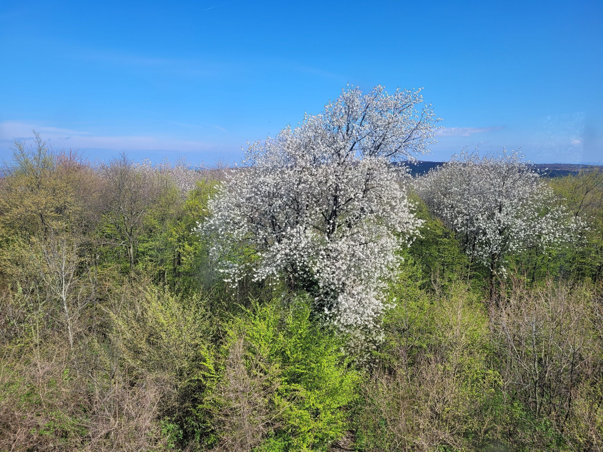
Long-distance hiking trail cherry blossom region
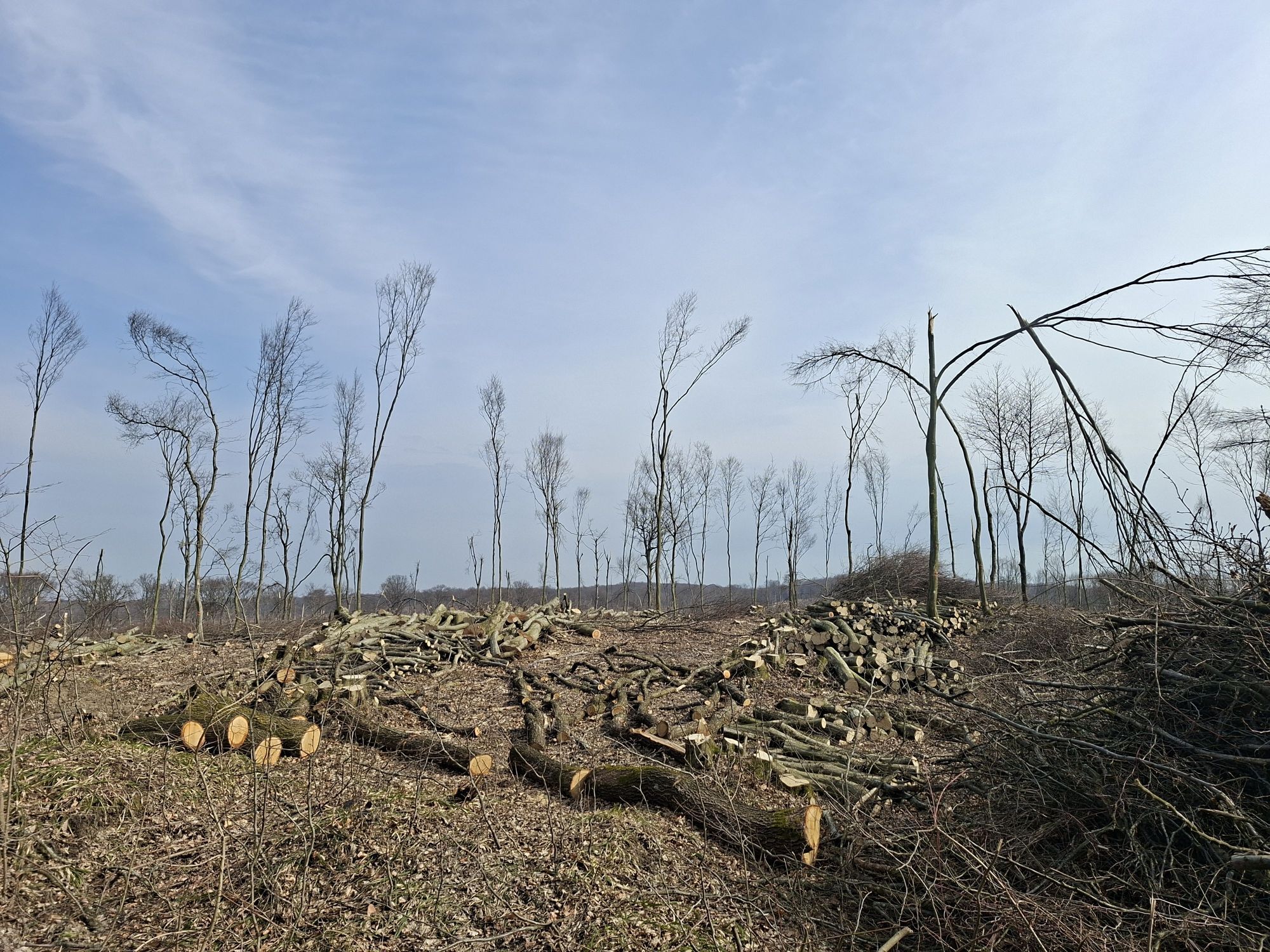
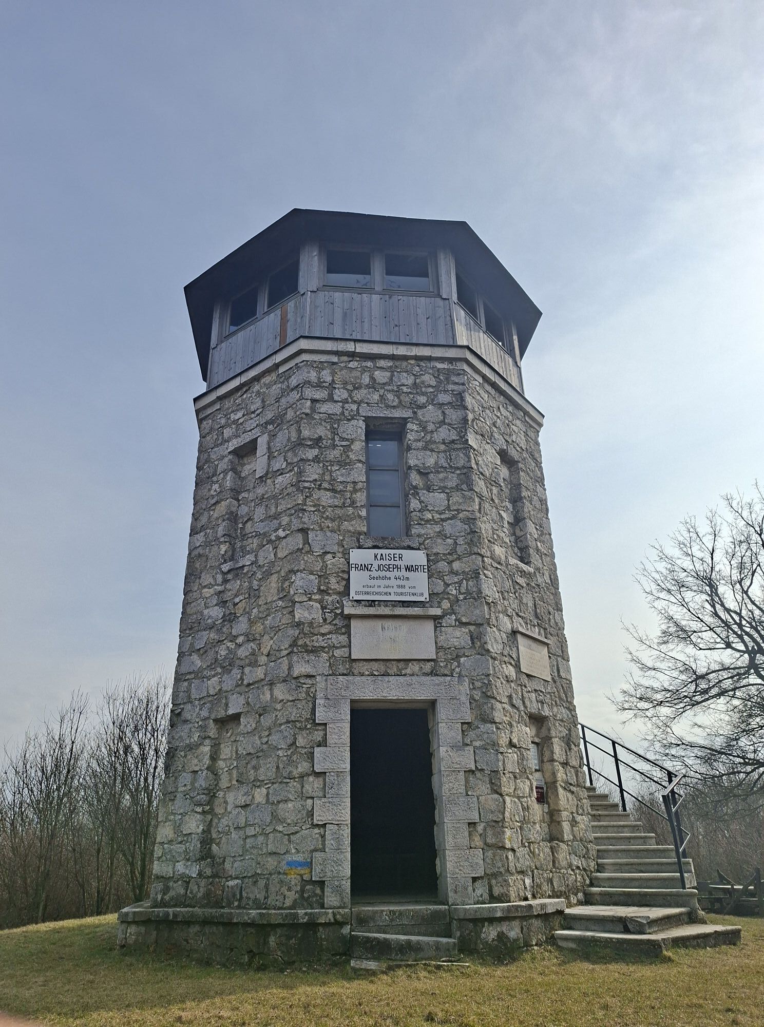
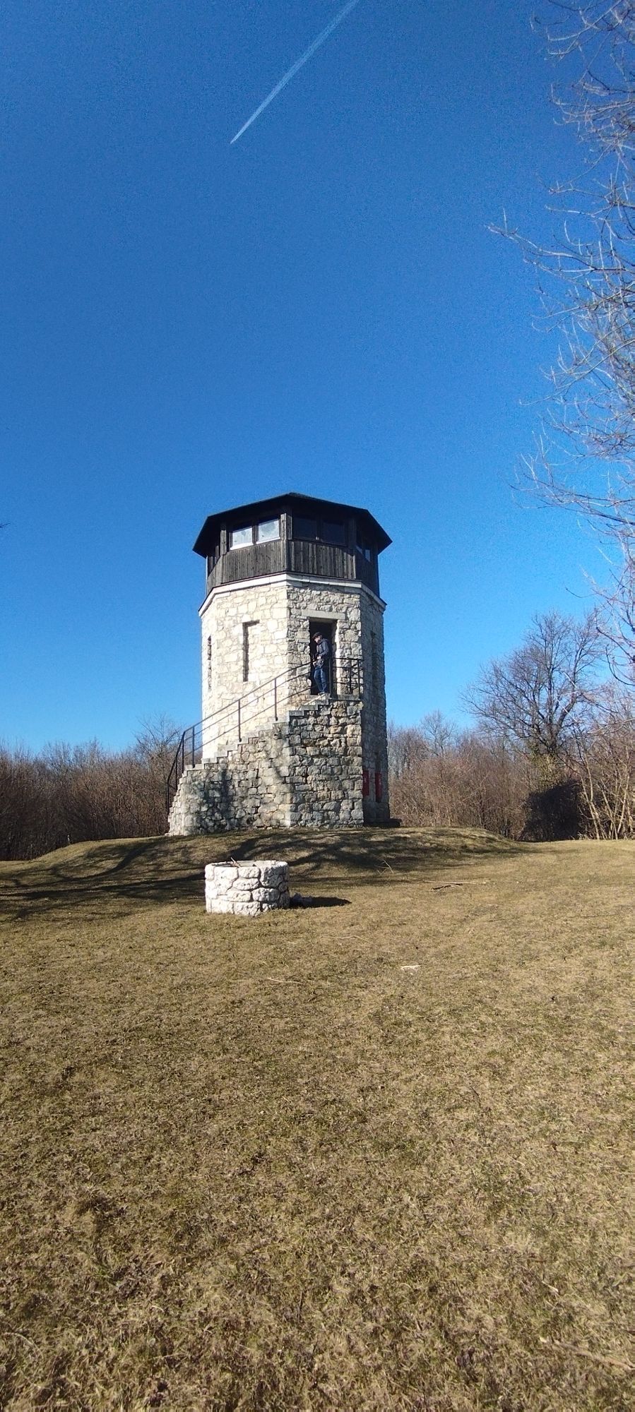
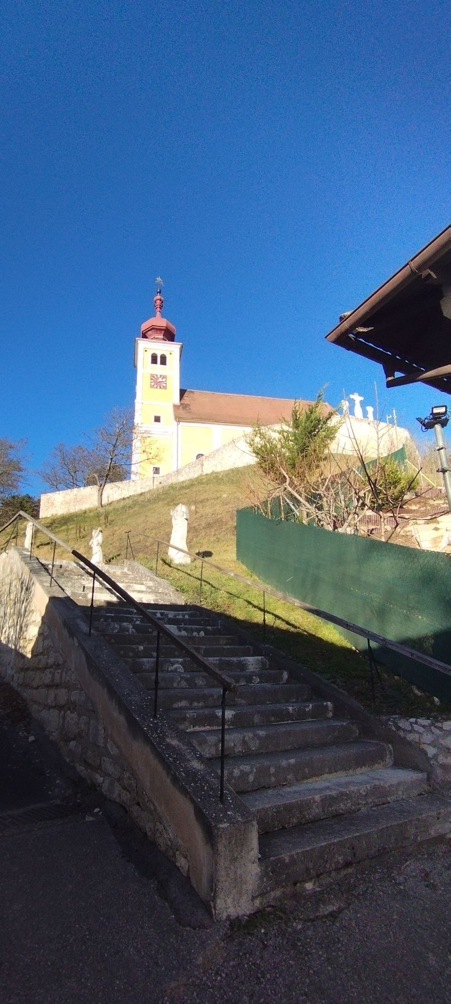


You start at the municipal office of Jois and go in a southwesterly direction (Jungerberg/Hackelsberg). Below the Jungerberg you cross the railway tracks and hike along a freight path along the Joiser Seewiesen. On the Kirchberg near Winden, the sculpture "Sun worshiper" rises, a piece behind it is the two baroque church towers that flash out from behind the trees. You walk south of the railway tracks, before crossing them at Breitenbrunn and passing the church and old wine cellars in the direction of the nature reserve Thenauriegel. About 500 meters after the Thenauriegel, leave the cherry blossom path and follow the marking Kaisereiche/ Buchkogel/ Großhöflein. Slowly immerse yourself in the forests of the Leithagebirge and hike first through the Doktorbrunnengraben on a forest path gently uphill towards the national border, near the Drei Bründln opens at the water reserve a kind of roundabout", take the left path and walk about 2.8 kilometers along the ridge of the Leitha mountains. At the height of Purbach, turn right onto a dirt path (warning: the area may be slightly overgrown - note arrows on the trees!) and follow the mark 02 / Kaisereiche/ Franz-Josephs-Warte. On the way there you pass the Binderkreuz and follow the sign "Karl Watzke Weg". After a short, steep climb, the Franz-Josephs-Warte rises to 443 meters above sea level. Opposite the path you have come up, get off and leave after the short steep section of the hiking trail 02 immediately after the bank to the left in the direction of Donnerskirchen (arrows). Now it goes down comfortably to a crossroads, where you turn left 20 meters after the signpost "Donnerskirchen". Before you reach the village, a thick layer of Leithakalk under the forest floor shows up on your left hand. The described route leads from Jois to Donnerskirchen, but it can also be taken in the reverse order, that is, from Donnerskirchen to Jois. it can also be done in stages. The return journey can be made by taxi or public transport (bus, train - information at www.oebb.at).
Highlights:
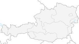
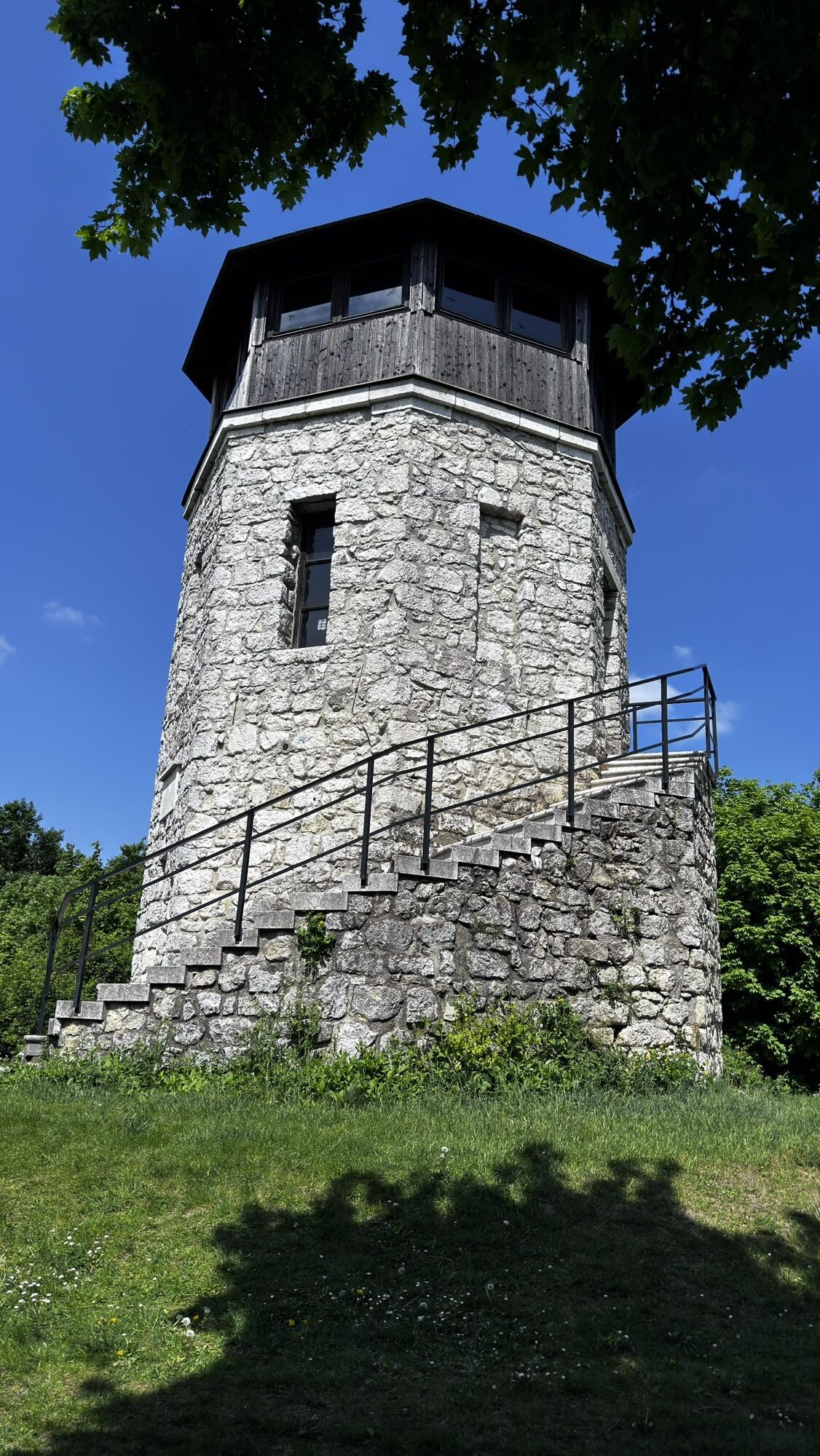
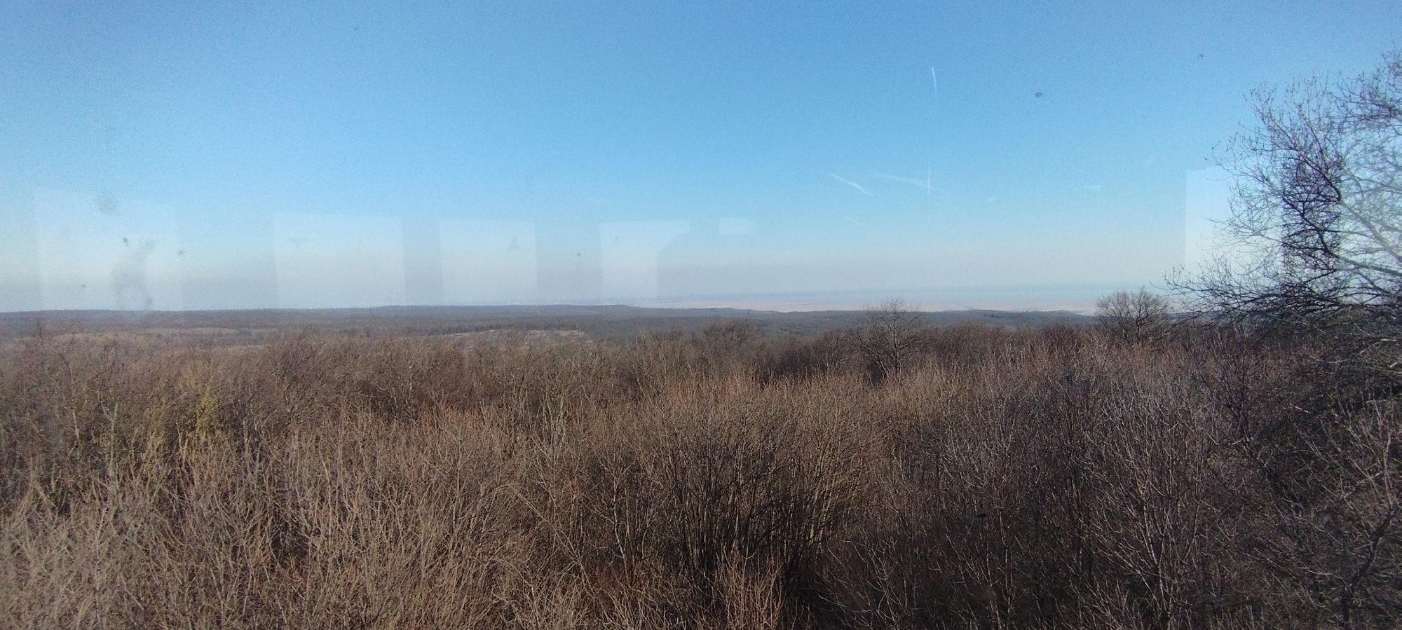
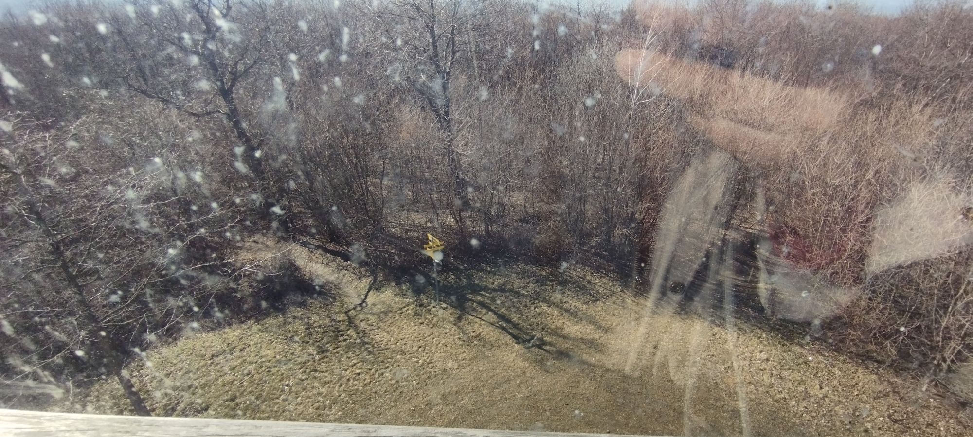
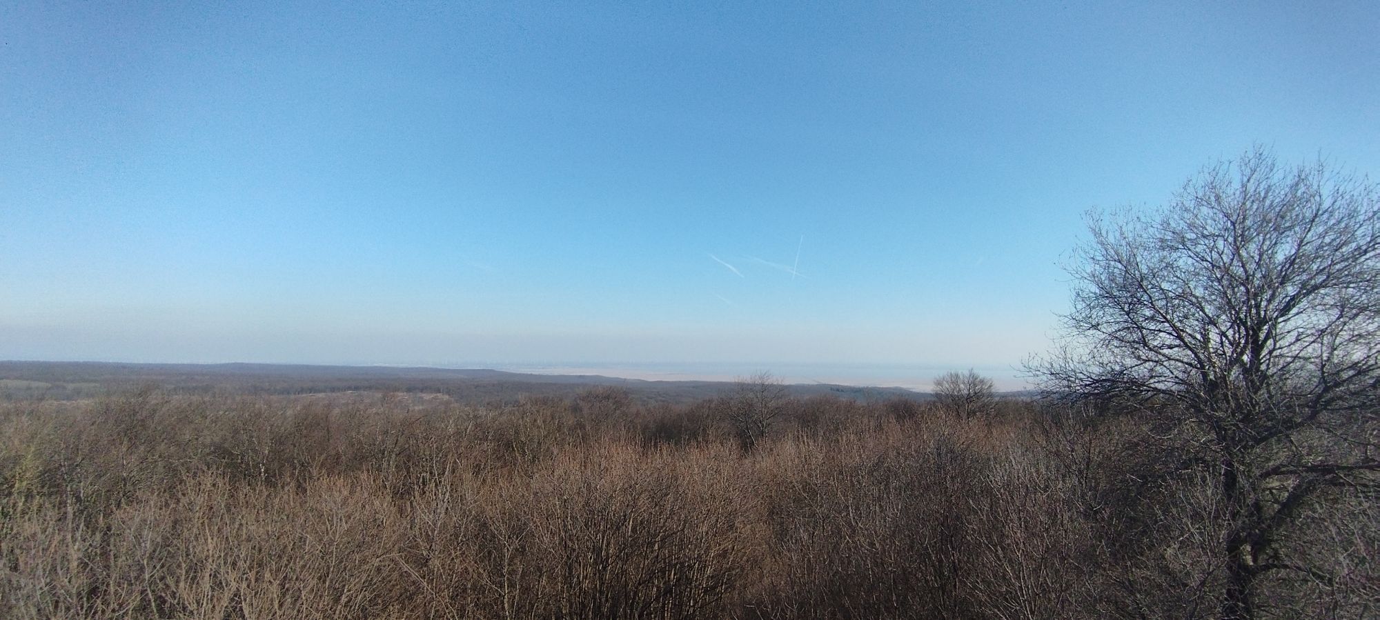
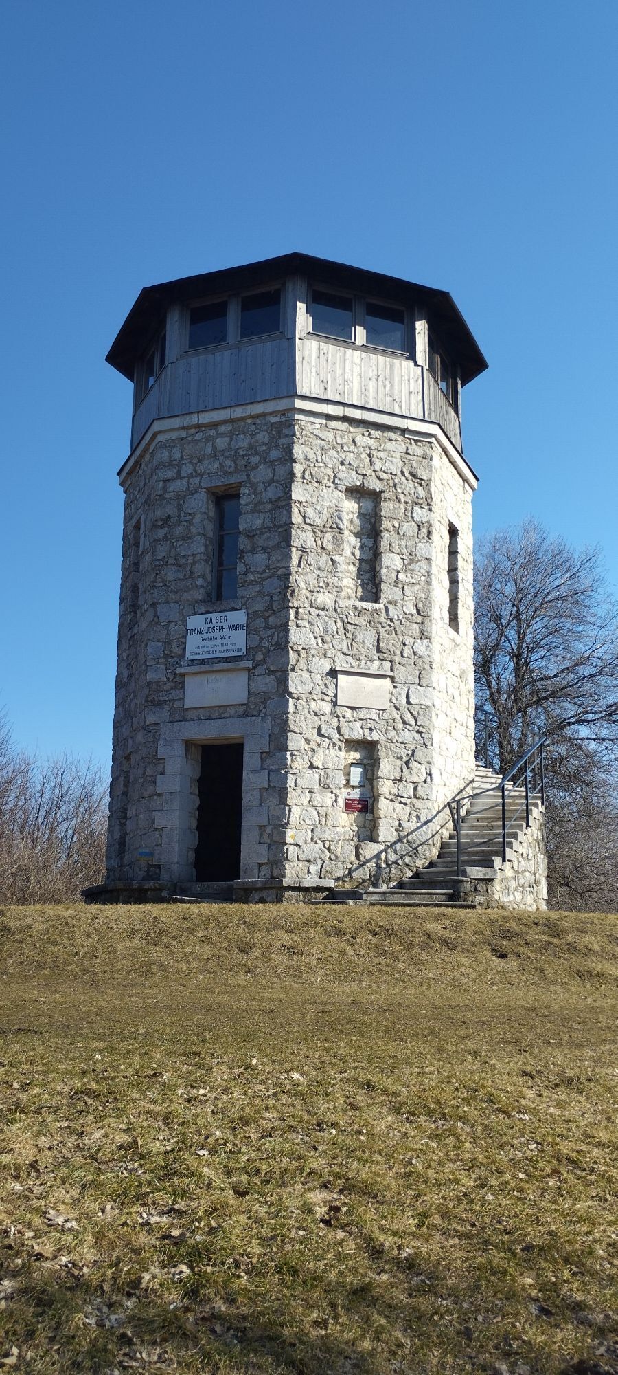
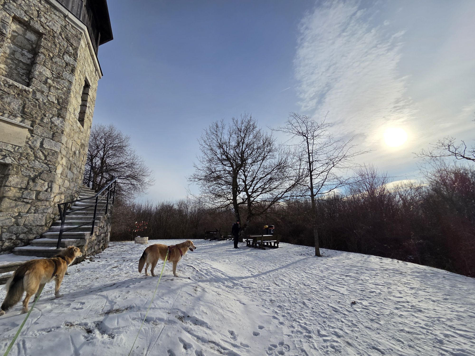
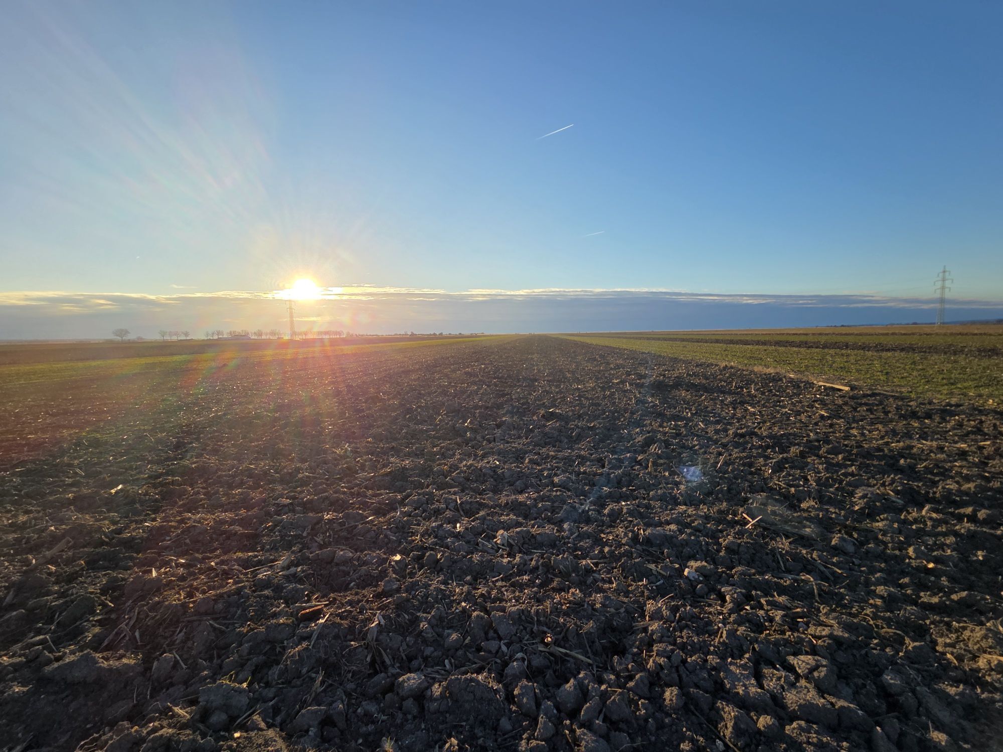
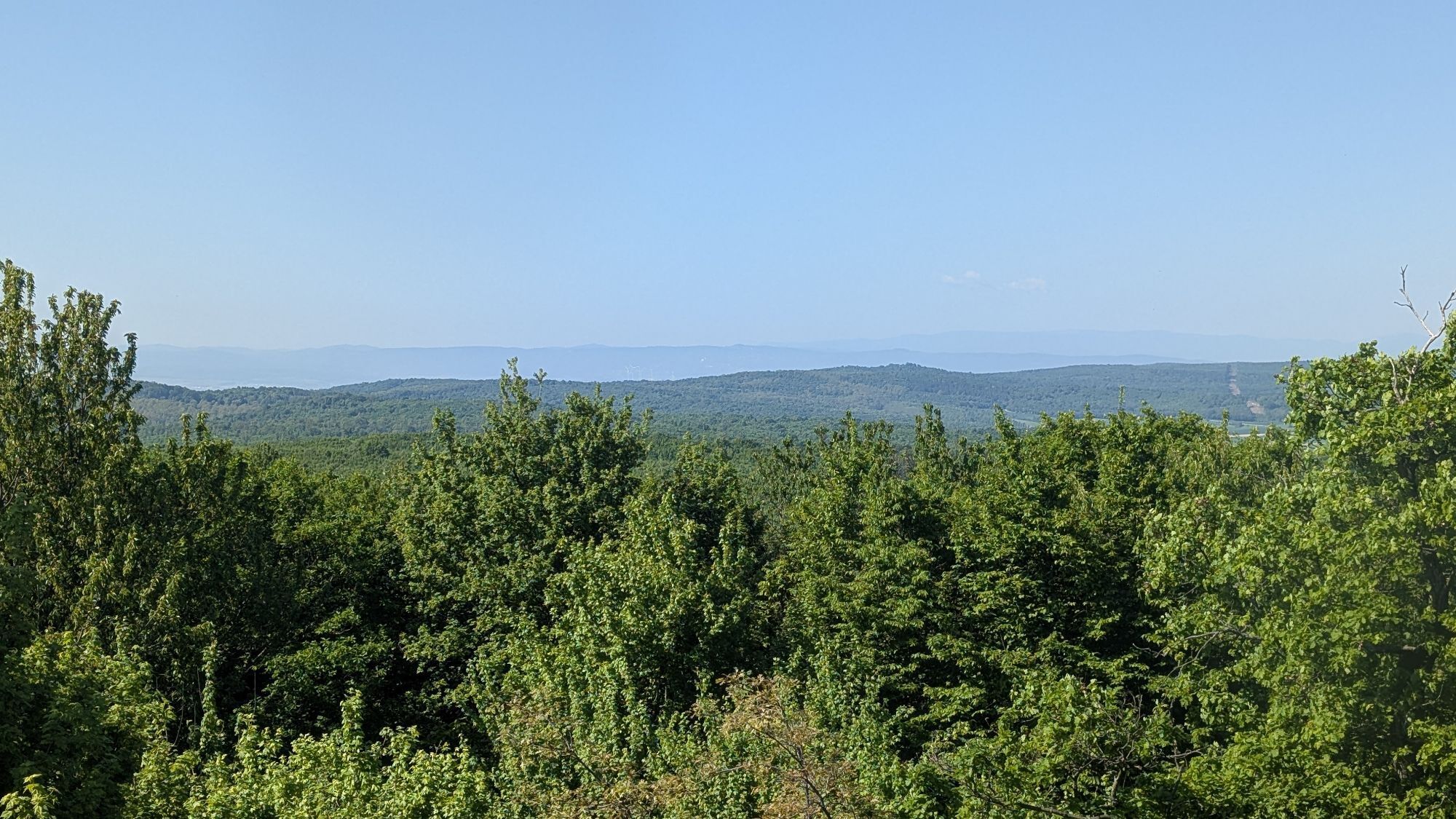
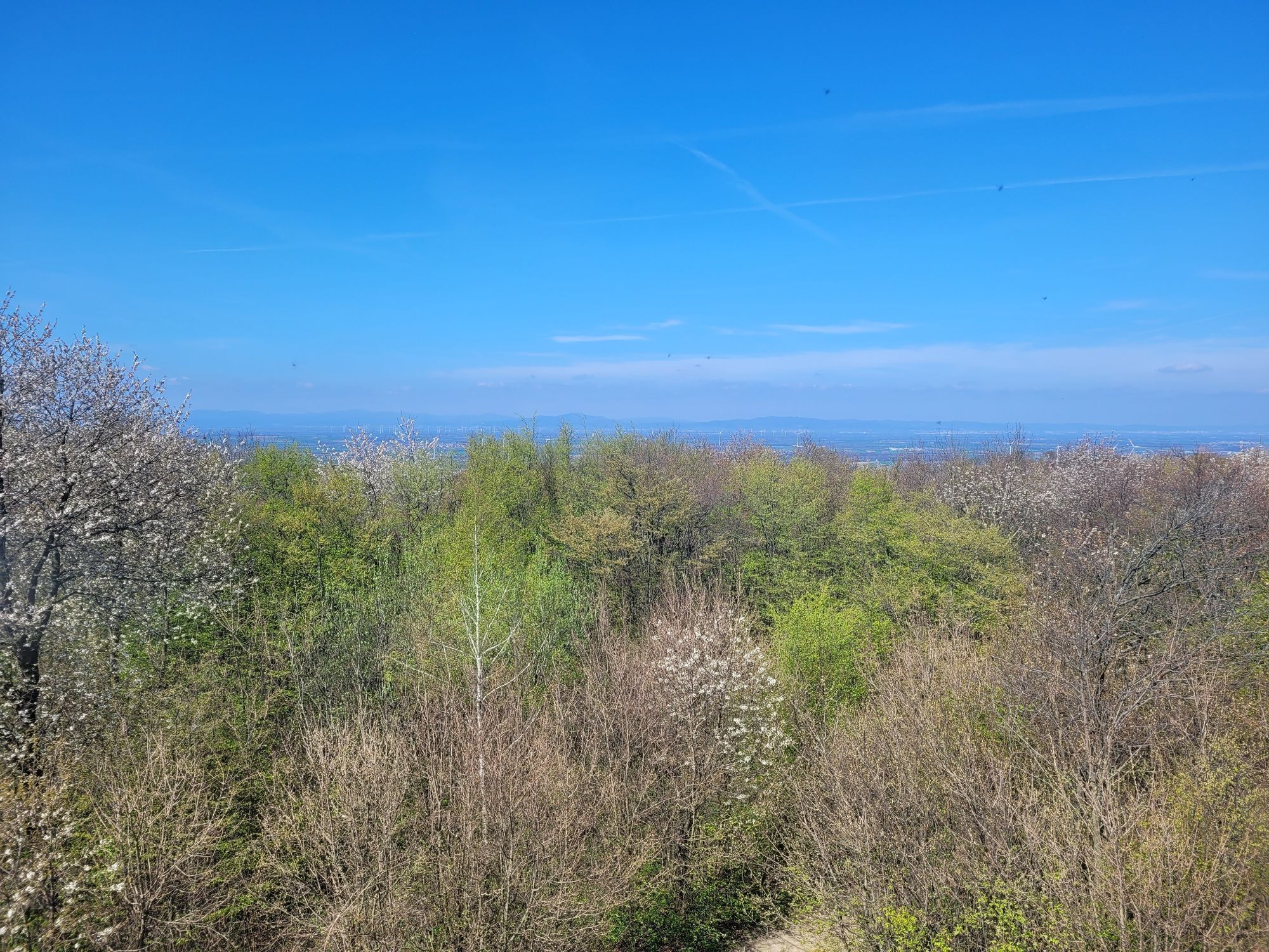
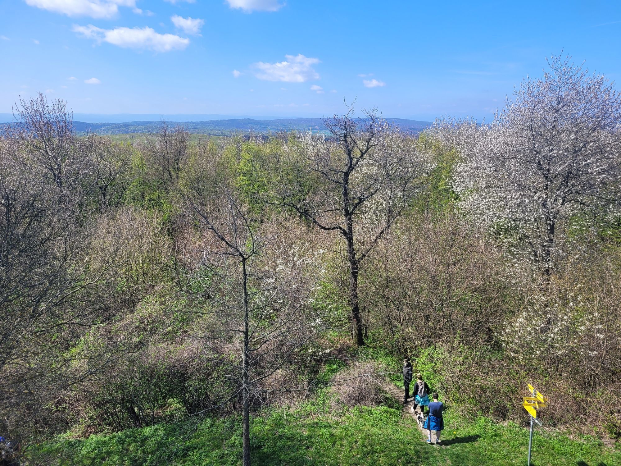
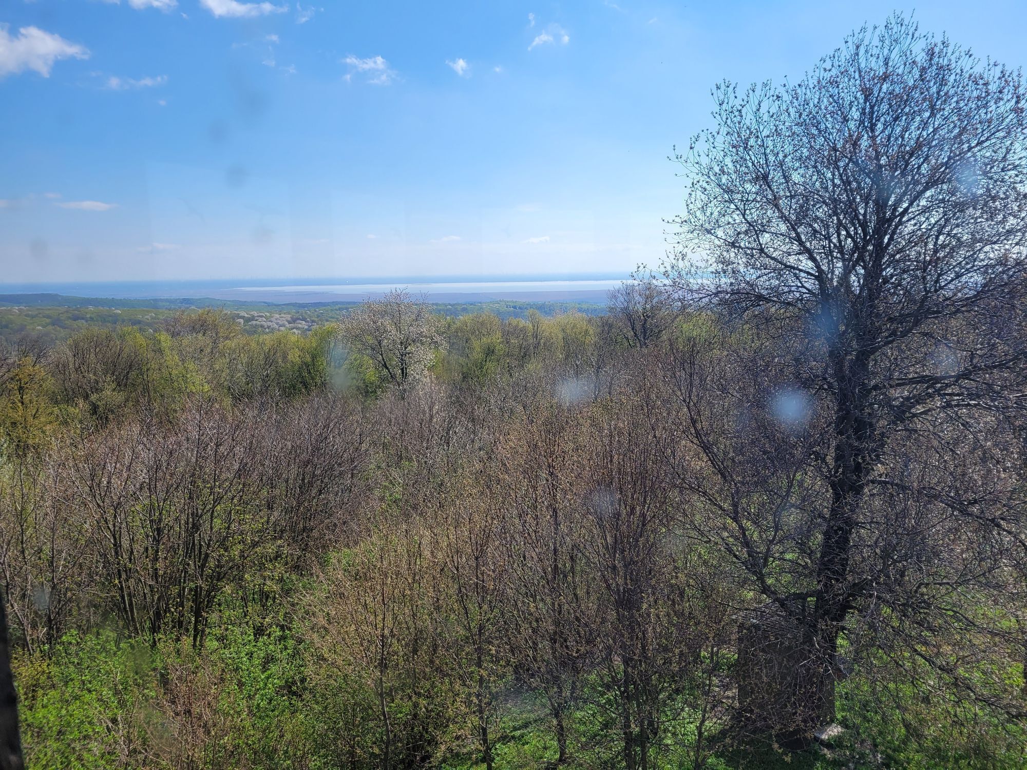
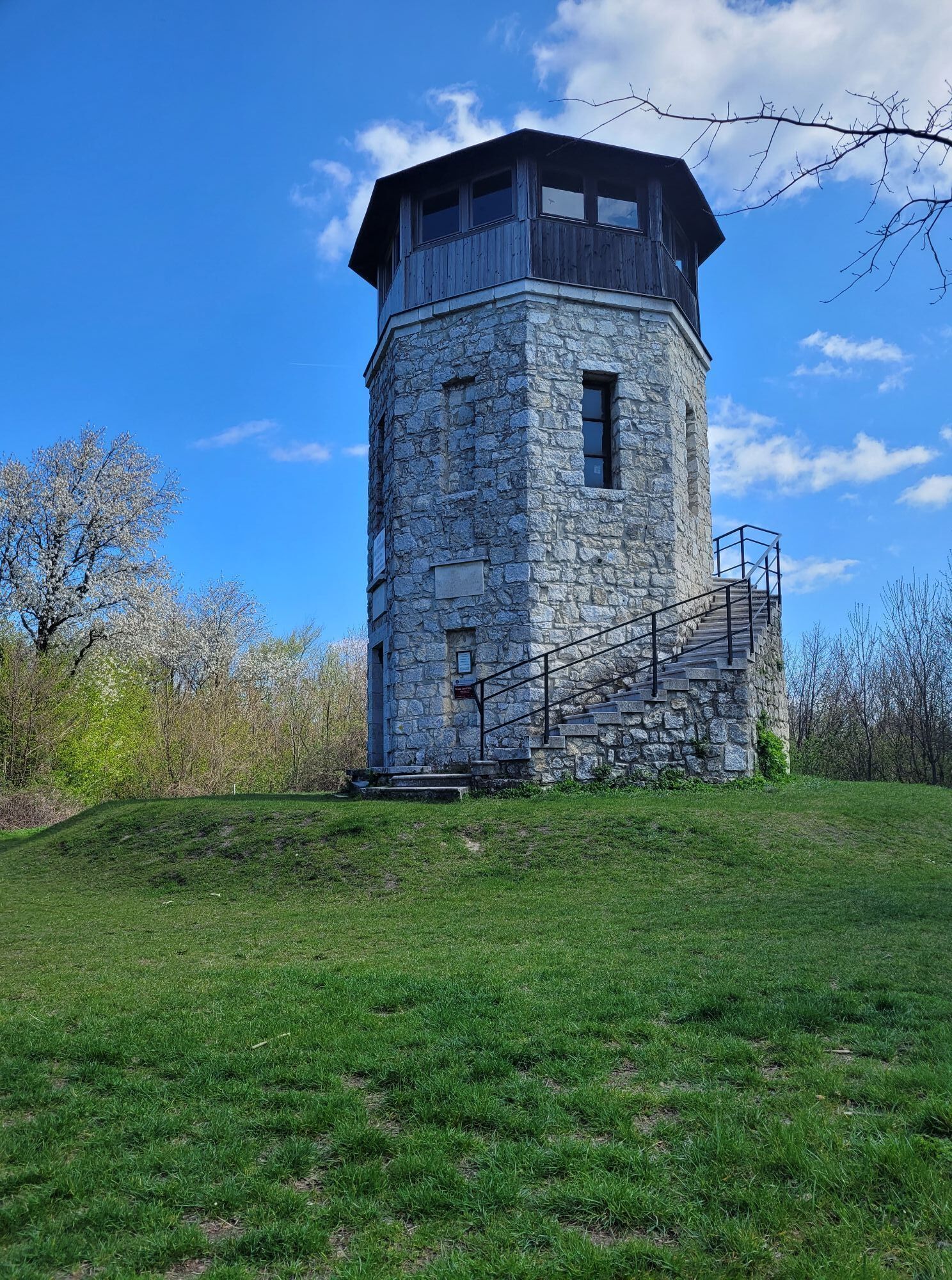
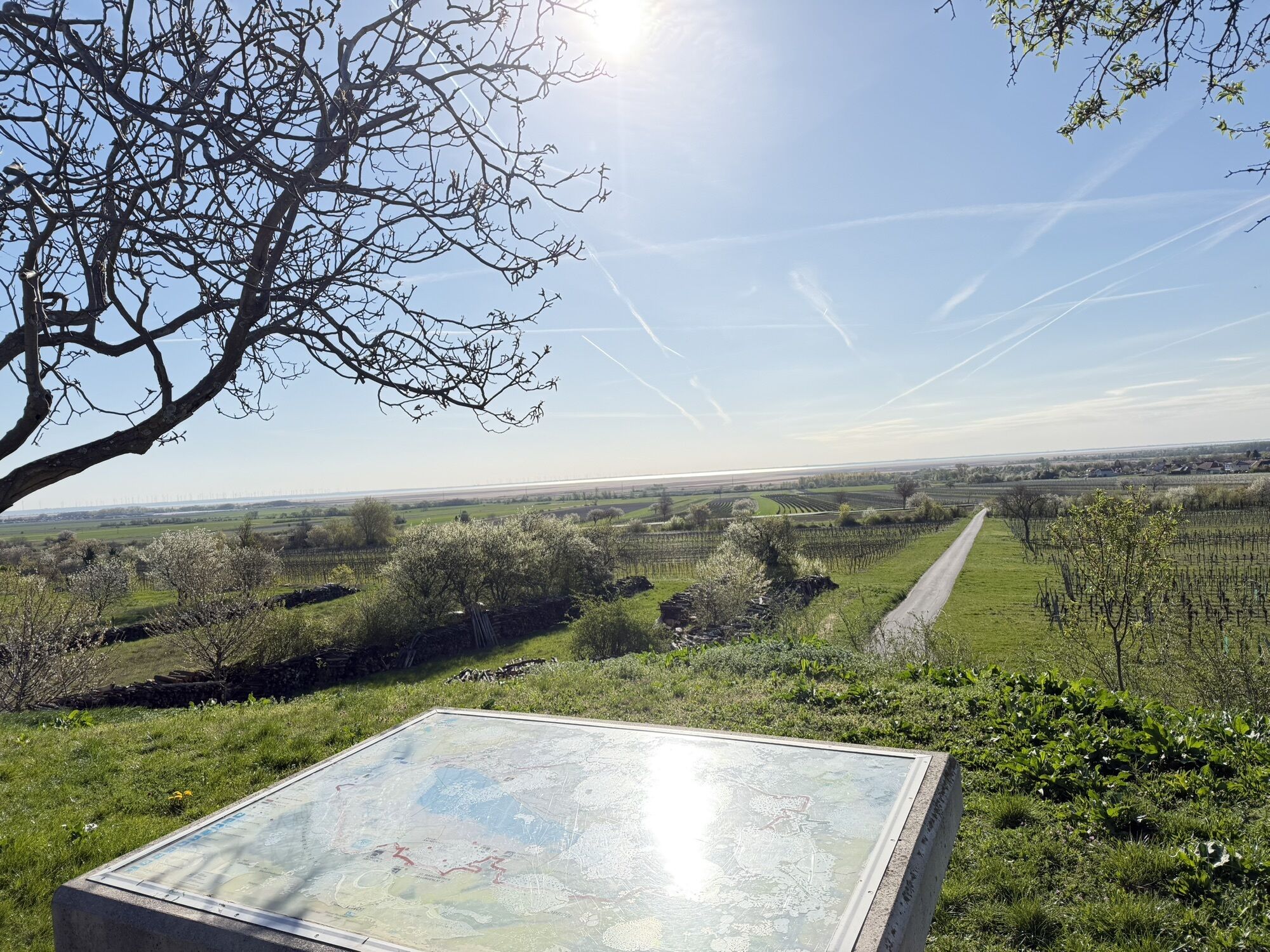
On the first stage between Jois and Breitenbrunn you enjoy a beautiful view of the landscape between Lake Neusiedl and Leitha Mountains. On the Kirchberg in Winden rises the "sun worshiper", a 20-metre high steel sculpture by the sculptor Wander Bertoni. In Breitenbrunn you pass some old wine cellars, it is also worth a detour to the tower museum where you learn interesting facts about the Neusiedler See and the Leithagebirge. The skeleton of a cave bear is also on display. The Thenaurus Hill is a dry grass area where exceptional plants grow and also hosts a target colony nearby. The Doktorbrunnengraben is one of about 80 water-carrying trenches in the Leitha mountains. The handcrafted cross commemorates Josef Binder, who died at this location. The Franz Josephs-Warte was built in 1888 for the 40th anniversary of the reign of Emperor Franz Joseph. He himself had never been there, but two of his predecessors: in their honor the lookout cap is also called "Imperial Oak".Áno
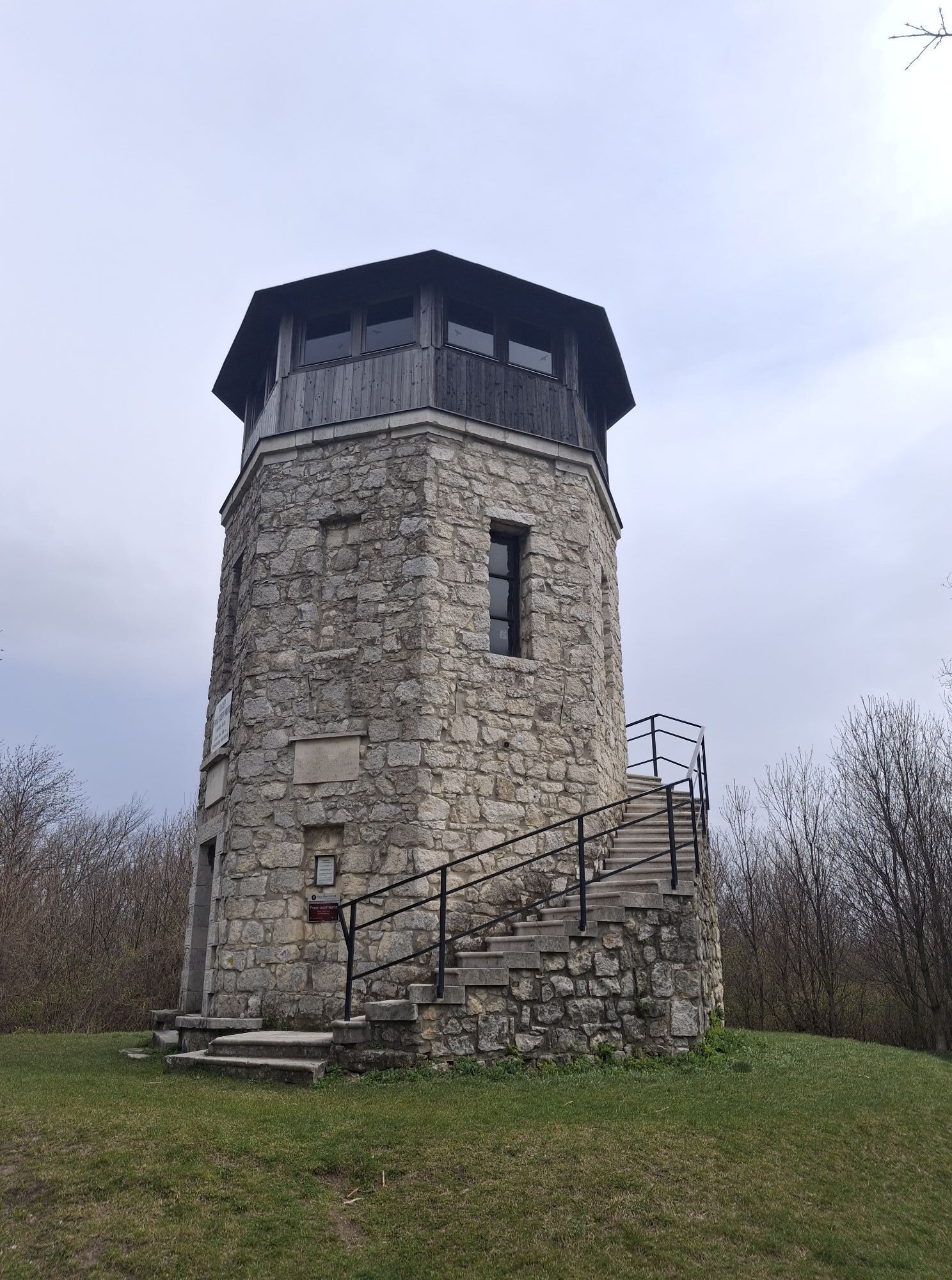
On the section of the long-distance hiking trail 902, the diversity of the landscape between the Leitha Mountains and Lake Neusiedl is shown in all its glory: vineyards and dry grass, dense forest and wild romantic ditches, between the villages with their varied history and numerous refreshment opportunities.
Details on travelling can be found here: Calculate route
Travelling by train:
Lake Neusiedl is easy and convenient to reach by train. Regardless of whether you are travelling from Switzerland, Germany, the west or south of Austria: You can change trains at Vienna Central Station with ease. ÖBB regional trains take you to Neusiedl am See station in just under 40 minutes, where there are also coordinated bus and train connections to Pamhagen / Fertöszentmiklos or Eisenstadt or Sopron. Bicycles can be taken on most trains: on the Railjet and EC/IC as well as on the Nightjets, a reservation for your bicycle is absolutely necessary. On regional trains, your bicycle can be taken on board without a reservation, subject to availability of the available bicycle spaces.
Timetable information: ÖBB
The Burgenland app also provides you with information about tours, routes and altitude metres while you're out and about.
Are you looking for a pre-made package for your active holiday? You'll find it here: Package deals at Lake Neusiedl
With the Burgenland Card: unlimited holiday fun & offers as far as the eye can see!
All the info you need: Burgenland Card
Obľúbené výlety v okolí
-
4,7
Cherry Blossom Cycle Route
strednáCyklistika 43,2 km -
4,0
Neusiedler See cycle path with lake crossing
ťažkéCyklistika 75,4 km -
4,6
Kloster St. Anna & Ruine Scharfeneck zu Mannersdorf
svetloTuristika 5,27 km -
4,6
MANNERSDORF, St.Anna, Aussichtspkt. Stb.1 Ruine Scharfeneck, F.J.Warte, Aussichtspkt. Stb.2 20230329
strednáTuristika 16,5 km -
4,6
Ochsenbründlrunde
svetloTuristika 8,34 km -
4,4
Smugglers' route "Donnerskirchen" to Mannersdorf
ťažkéTuristika 18,8 km -
4,4
About / around the Burgstall
strednáTuristika 10,1 km -
4,8
Festival cycle route
svetloCyklistika 66,3 km -
4,0
Mannersdorf Wüste - Gipfelkreuz - Ruine - Labyrinth
svetloTuristika 9,32 km -
4,8
From the Field of Honor to the Kingdom of Heaven
strednáTuristika 6,98 km
Turistika a stopovanie


Nenechajte si ujsť ponuky a inšpiráciu na ďalšiu dovolenku
Vaša e-mailová adresa bol pridaný do poštového zoznamu.