
La boucle des parcs
stredná
Získajte túto prehliadku v mobilnom telefóne
La boucle des parcs
stredná
Turistika
11,80
km
Naskenujte kód QR a spustite navigáciu v aplikácii bergfex


Turistika a stopovanie





La boucle des parcs
stredná
Vzdialenosť
11,8
km
Trvanie
03:26
h
Ascent
279
hm
Hladina mora
346 -
483
m
Stiahnutie skladby
La boucle des parcs
stredná
Turistika
11,80
km
A bastion of French industry, Le Creusot offers an unsuspected green environment. Beyond its exceptional industrial history, Le Creusot is indeed a green city. This loop links the various parks in the...
Opis
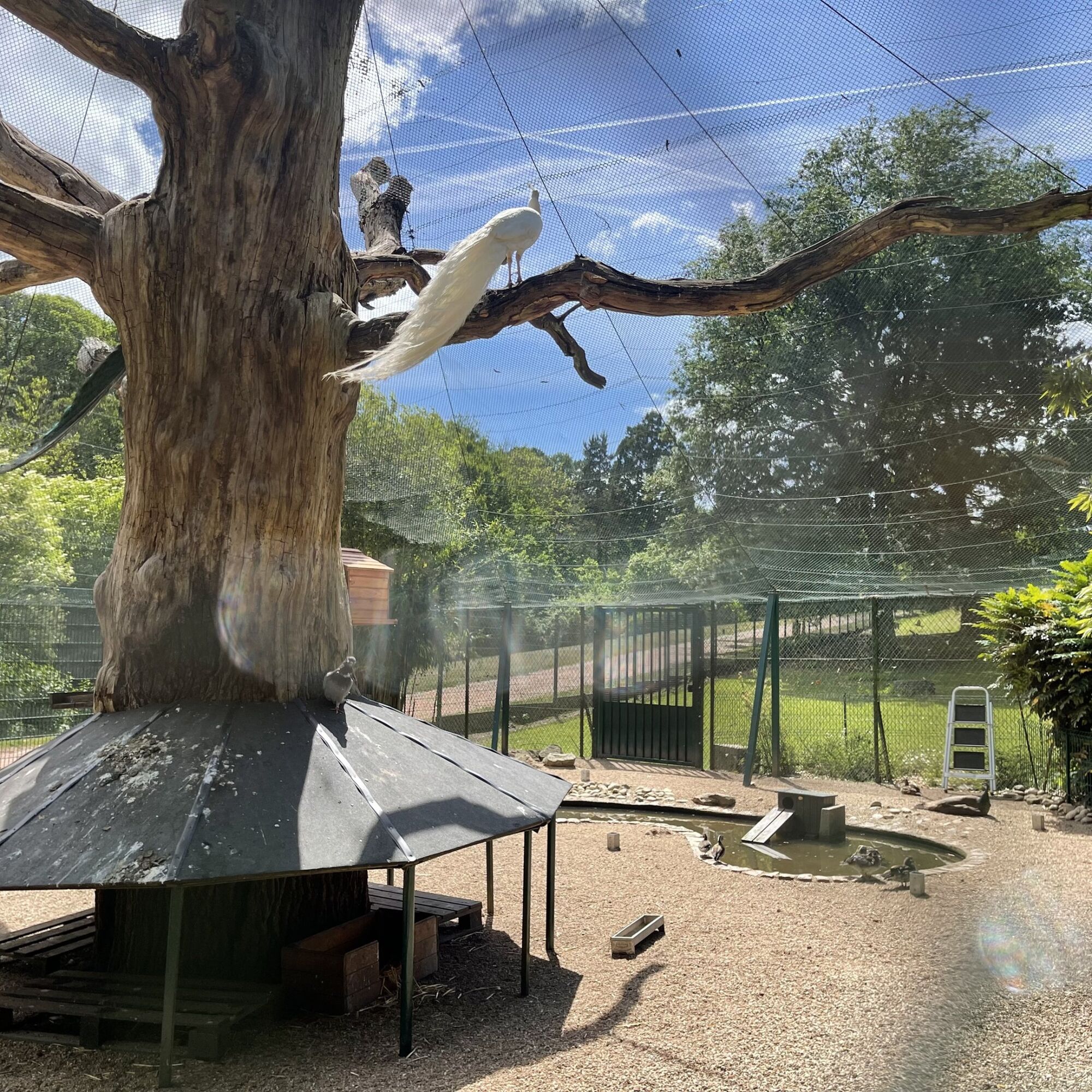
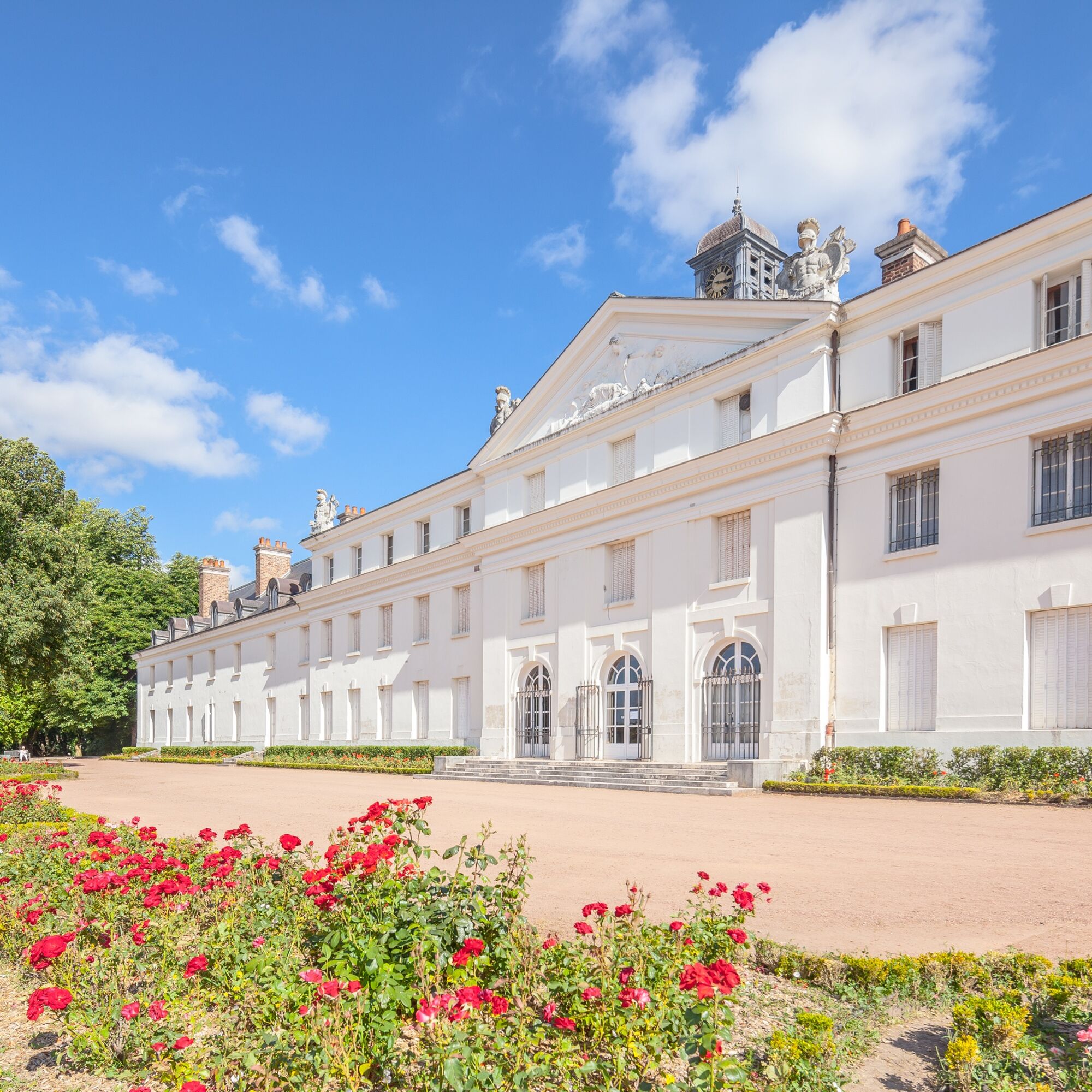
A bastion of French industry, Le Creusot offers an unsuspected green environment. Beyond its exceptional industrial history, Le Creusot is indeed a green city. This loop links the various parks in the city and is the best way to explore the hundred or so hectares of parks and gardens throughout the city.
Trasa
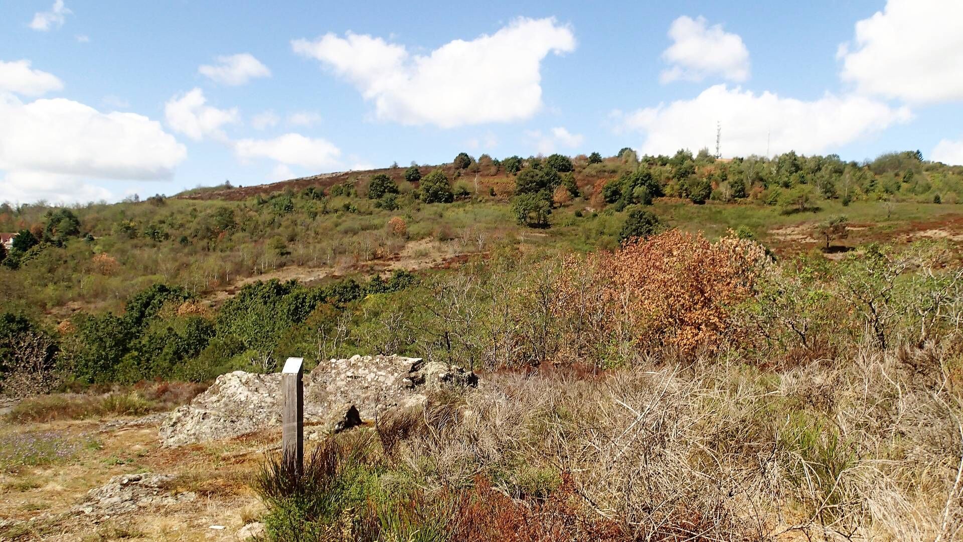
Cité Ouvrière de la Combe des Mineurs
(384 m)
Zúčtovanie
1,8 km
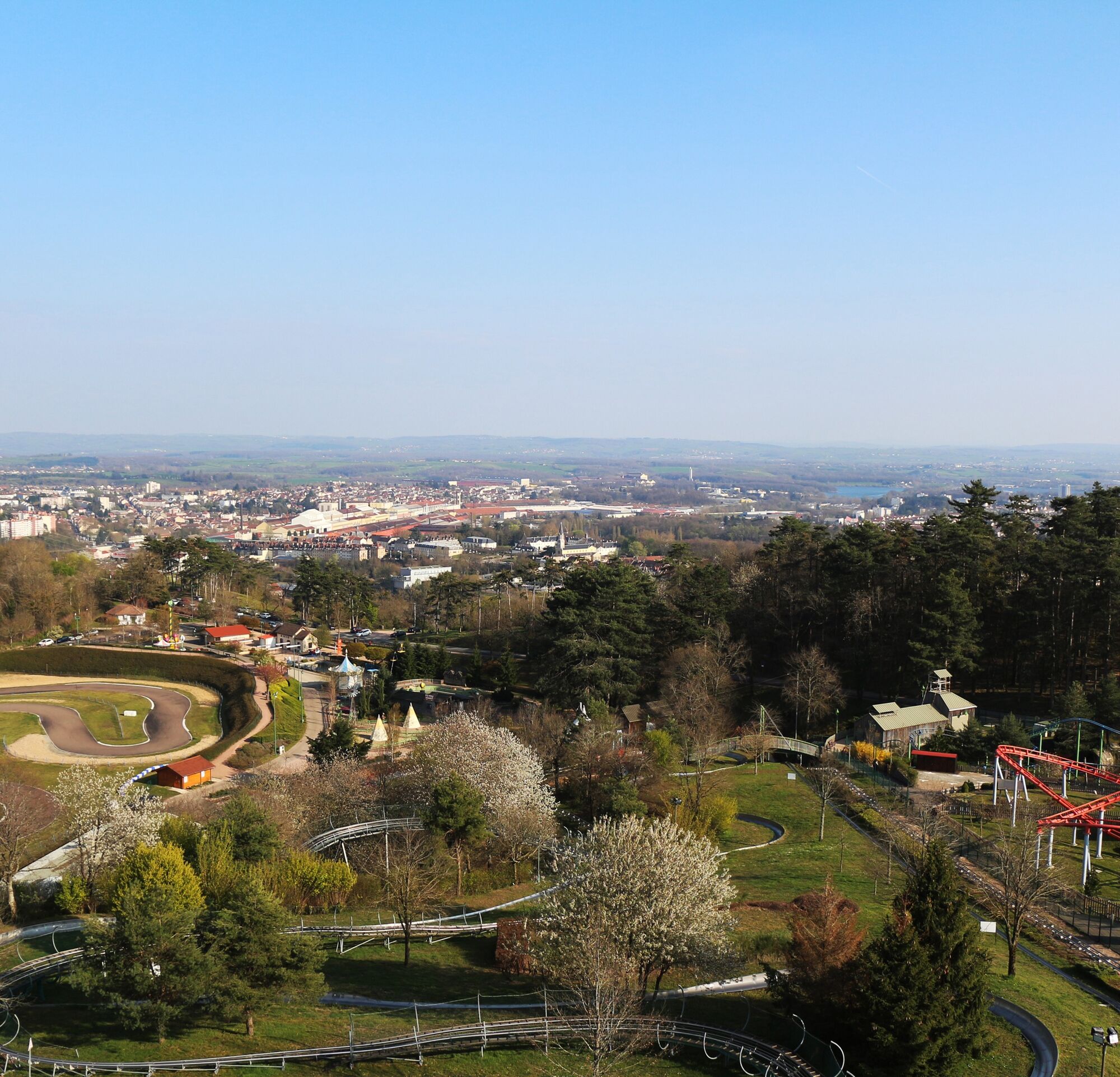
Toboggan
(430 m)
Detské ihrisko
2,9 km
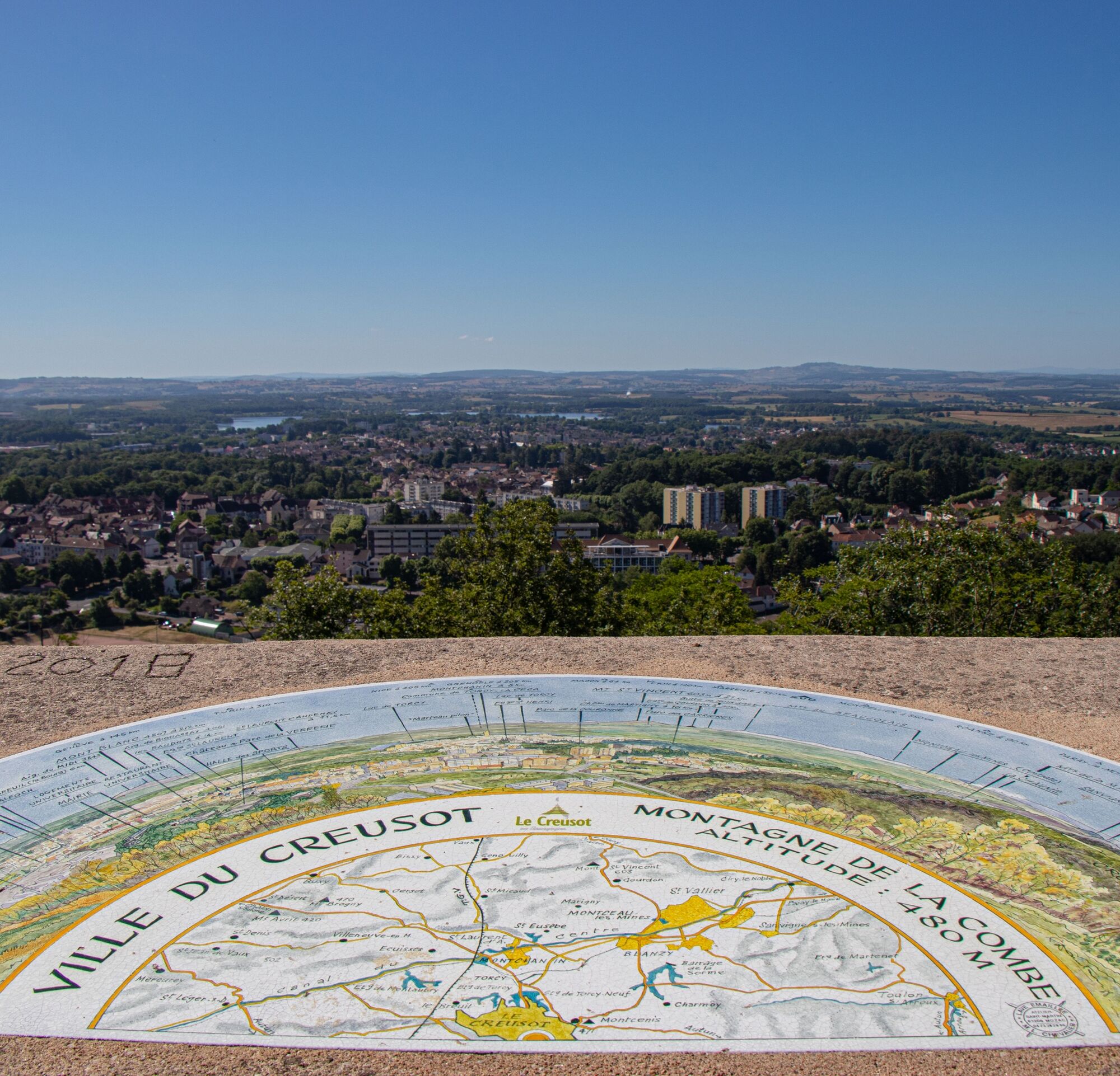
Belvédère
(478 m)
Uhol pohľadu
3,0 km
Le Creusot
(360 m)
Mesto
11,4 km
Église Saint-Laurent
(387 m)
Miesto uctievania
11,6 km
Trasa
La boucle des parcs
stredná
Turistika
11,80
km
Cité Ouvrière de la Combe des Mineurs
(384 m)
Zúčtovanie
1,8 km
Toboggan
(430 m)
Detské ihrisko
2,9 km
Belvédère
(478 m)
Uhol pohľadu
3,0 km
Le Creusot
(360 m)
Mesto
11,4 km
Église Saint-Laurent
(387 m)
Miesto uctievania
11,6 km
Autor
Prehliadku La boucle des parcs zabezpečuje outdooractive.com.


Bezpečnostné pokyny
In case of emergency, dial 112
Informácie o príchode
Príchod
Consider carpooling
Parkovanie
Parking near the starting point
Ďalšie informácie a tipy
Ďalšie informácie
LE CREUSOT â Creusot-Montceau Tourisme | Cat.II http://www.creusotmontceautourisme.fr
Zatiaľ žiadne recenzie
Obľúbené výlety v okolí
-
3,0
Les rochers du Carnaval
strednáTuristika 8,03 km -
Village et campagne
strednáTuristika 7,38 km -
Espace naturel du Pont du Roi
svetloTuristika 0,82 km -
Le bois des Vignes
strednáTuristika 8,31 km -
Les Hameaux
strednáTuristika 17,4 km -
A VTT sur la GTMC, entre Autun et La Tagnière
strednáMountainbike 40,6 km -
L'Haut du Châtelot - Auberge la Croix de Messire Jean - Signal d'Uchon - Col de la Croix de Messire Jean
strednáTuristika 12,5 km -
Uchon - Auberge la Croix de Messire Jean - Signal d'Uchon - Col de la Croix de Messire Jean
strednáTuristika 11,0 km -
Cité des Quarts - Saint-Leu - La Galoche - Saint-Laurent-d'Andenay
strednáTuristika 11,7 km -
Auberge la Croix de Messire Jean - Église Saint-Roch - Signal d'Uchon - La Croix Messire Jean
svetloTuristika 5,56 km
Turistika a stopovanie

Viac ako 550.000 návrhov výletov, podrobné mapy a intuitívny plánovač trás robia z aplikácie povinnú výbavu pre všetkých nadšencov prírody.

Nenechajte si ujsť ponuky a inšpiráciu na ďalšiu dovolenku
Prihlásiť sa k odberu noviniek
Chyba
Vyskytla sa chyba. Prosím, skúste to znova.
Ďakujeme za vašu registráciu
Vaša e-mailová adresa bol pridaný do poštového zoznamu.
Zájazdy po celej Európe
Rakúsko
Švajčiarsko
Nemecko
Taliansko
Slovinsko
Francúzsko
Holandsko
Belgicko
Poľsko
Lichtenštajnsko
Česko
Slovensko
španielsko
Hrvaška
Bosna a Hercegovina
Luxembursko
Andorra
Portugalsko
Island
Spojené kráľovstvo
Írsko
Grécko
Albánsko
Severné Macedónsko
Malta
Nórsko
Čierna Hora
Moldavsko
Kosovo
Maďarsko
San Maríno
Rumunsko
Estónsko
Lotyšsko
Bielorusko
Cyprus
Litva
Srbsko
Bulharsko
Monako
Dánsko
Švédsko
Fínsko





