







Sentier de la basse vallée du Doubs
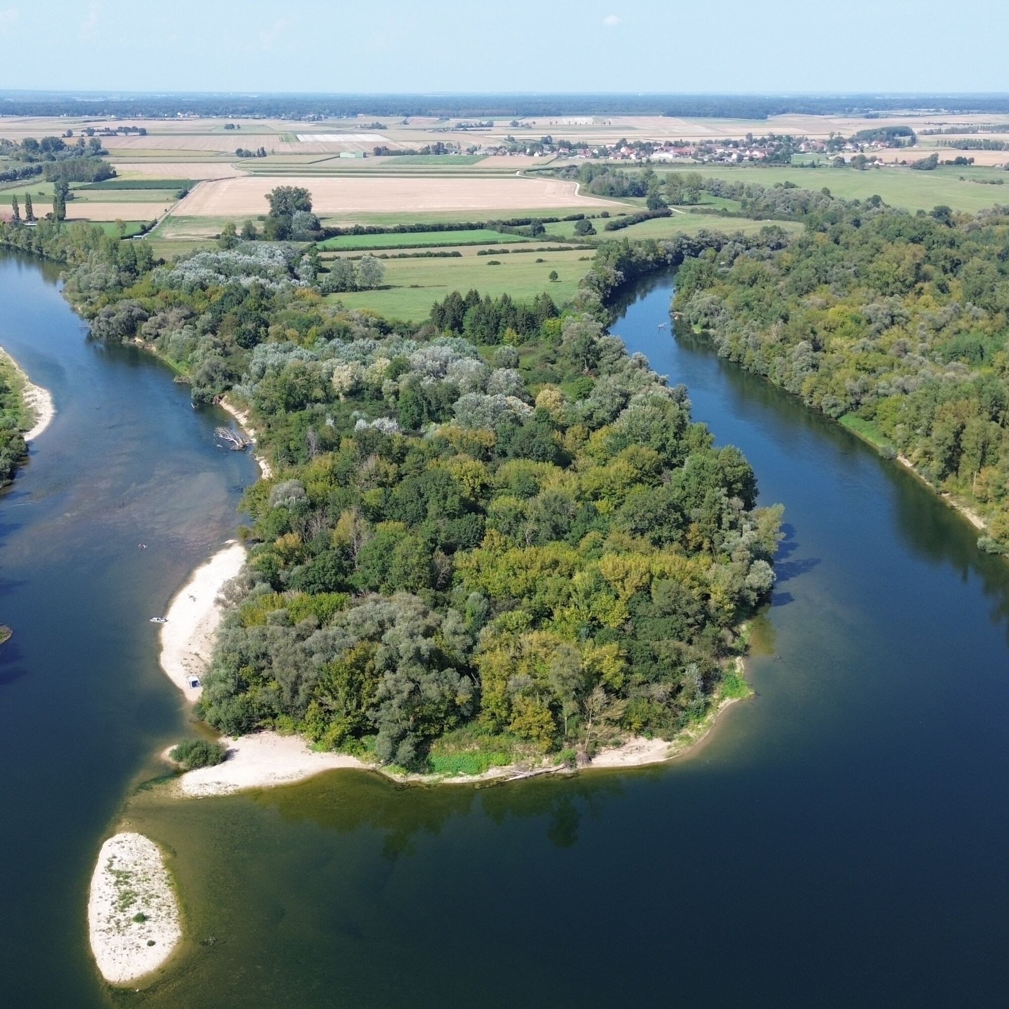
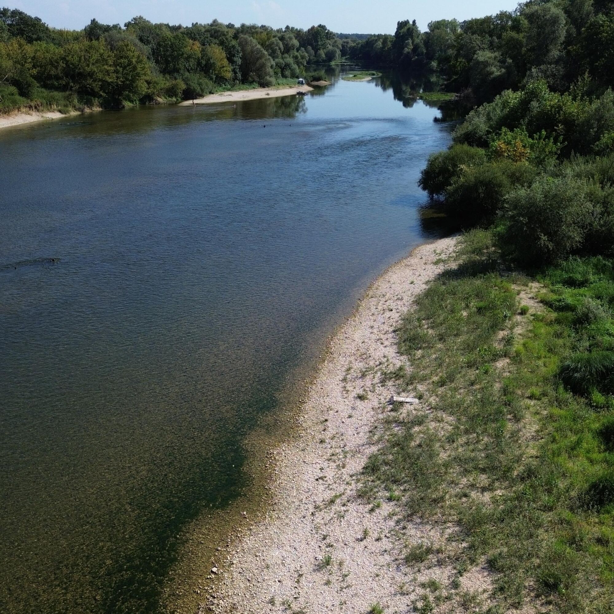
Renowned for the diversity of its landscapes and the multitude of animal species it shelters, the Lower Doubs Valley is part of Europe's most prestigious network of natural areas: the Natura 2000 network....
Renowned for the diversity of its landscapes and the multitude of animal species it shelters, the Lower Doubs Valley is part of Europe's most prestigious network of natural areas: the Natura 2000 network. More than 160 species of bird have been recorded throughout this protected area, including the European bee-eater, the common blue-throat, the common tern, the meadow sparrow and the kingfisher.


In case of emergency, dial 112
Consider carpooling
Parking near the starting point
Bourgogne-Franche-Comté Tourisme
Obľúbené výlety v okolí
-
CycloRoute71 - Etape 4 de Louhans à Verdun-Ciel
strednáCyklistika 75,5 km -
Sentier de la Genévrière
svetloTuristika 5,80 km -
Le Grand Etang de Pontoux
svetloTuristika 1,04 km -
Sentier de la forêt de Palleau
svetloTuristika 4,79 km -
À la recherche du temps perdu
svetloTuristika 7,28 km -
2,0
Château de Pierre-de-Bresse
svetloCyklistika 25,7 km -
Seurre - Église Saint-Albin - Église Saint-Pierre-ès-Liens - Église Saint-Martin
strednáŠtrkový bicykel 46,6 km -
3,0
Seurre
strednáTuristika 8,50 km -
Sermesse - Église Saint-Vincent - Église de l'Assomption
strednáMountainbike 35,6 km -
Dole - Le Belvoye - Église de l'Assomption - Chalon-sur-Saône
ťažkéŠtrkový bicykel 96,6 km
Turistika a stopovanie


Nenechajte si ujsť ponuky a inšpiráciu na ďalšiu dovolenku
Vaša e-mailová adresa bol pridaný do poštového zoznamu.





