





From Estana to Prat de Cadí
The Cadí-Moixeró Natural Park is home to some of the most rugged mountains in the foothills of the Pyrenees. On this short but rewarding route, hikers get to enjoy the diversity of landscape and flora...
The Cadí-Moixeró Natural Park is home to some of the most rugged mountains in the foothills of the Pyrenees. On this short but rewarding route, hikers get to enjoy the diversity of landscape and flora in one of Catalonia's wildest areas. From the village of Estana, the Serra del Cadí looks almost inacessible, with impressive rock faces towering over the valley. The Prat de Cadí is an almost paradisiacal alpine meadow at an altitude of about 1,830 meters and is rightly considered one of the most spectacular viewpoints in the region. But even the way up, through wild pine forests with occasional views back over the shoulder into the valley of el Segre, is well worth it. Once you reach your destination, all you really have to do is take off your shoes, drop into the grass with a deep sigh and feel very close to heaven.
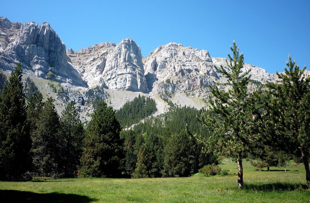
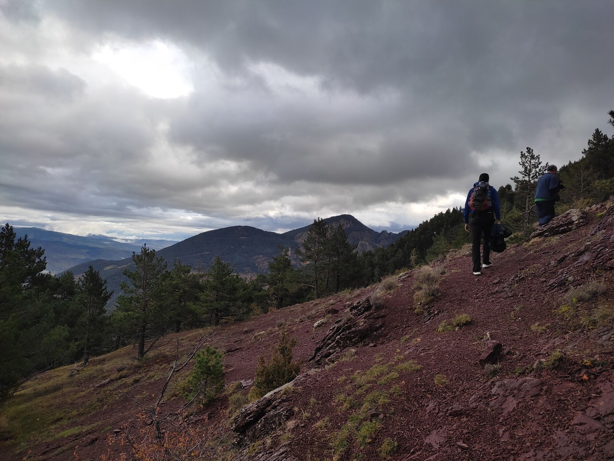
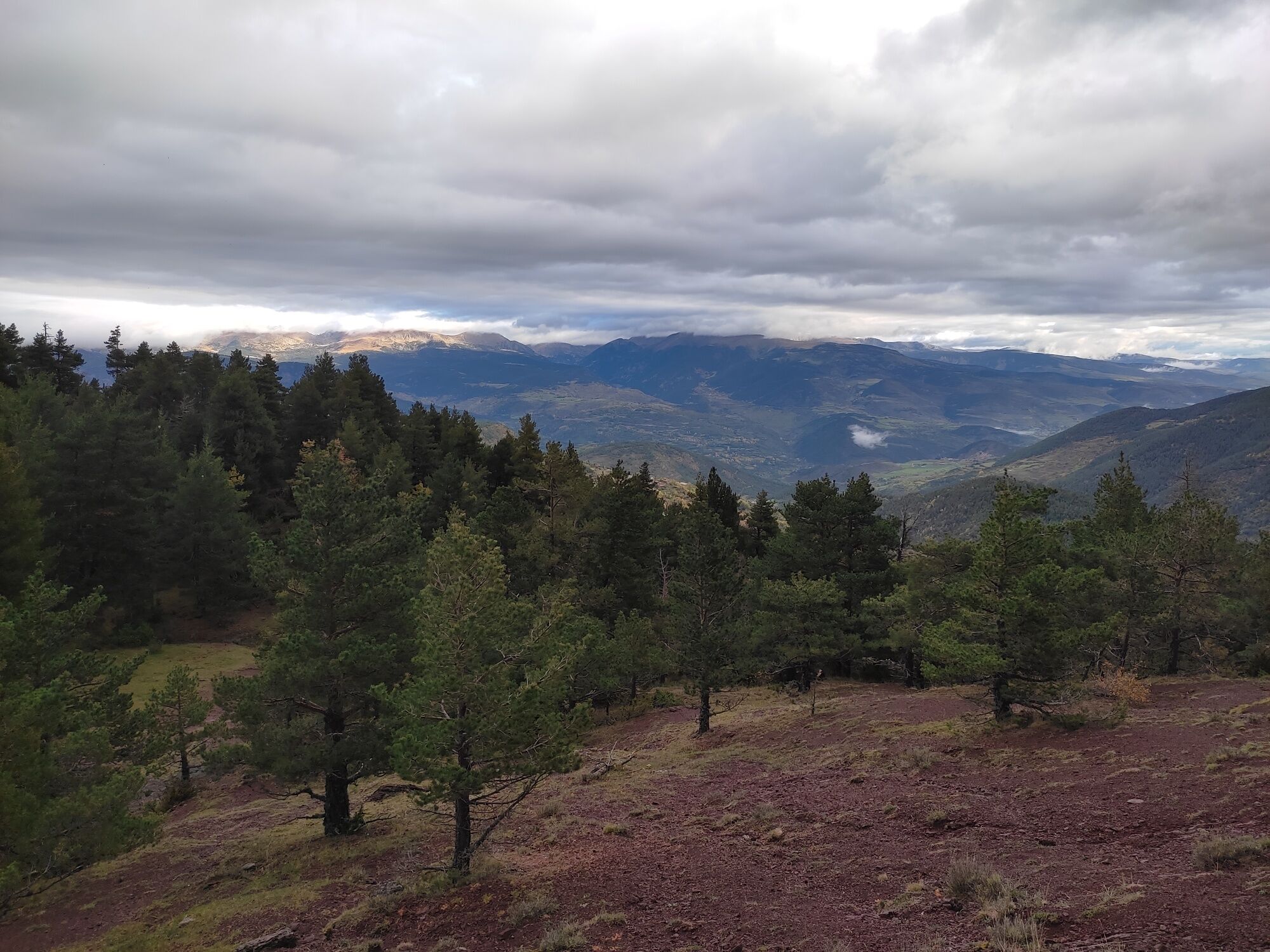
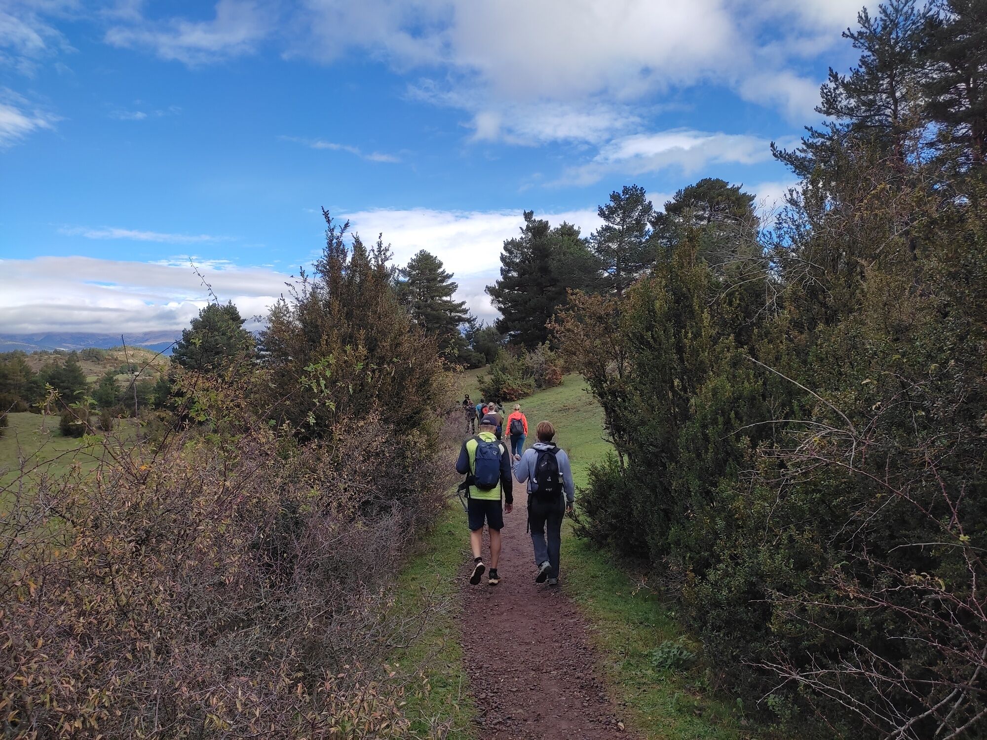

A detailed description of the route including pictures can be found here (Spanish only): https://www.rutaspirineos.org/rutas/prat-de-cadi-desde-estana
From the main road leading towards La Seu d'Urgell, turn left in Martinet, cross the river bridge and then turn right twice to get on the road leading up to Estana.
There are a few parking options along the main road of the village. Otherwise, there is more space for parking further up the hill behind the village.
Hard to believe: there's actually a hiking trail leading from Prat de Cadí up through the north face to the ridge. It's steep but does not involve climbing - in case you're looking for a harder challenge...
Obľúbené výlety v okolí
-
Cap Gallina Pelada, Creu de Ferro
strednáTuristika 19,4 km -
Volta al Pedraforca
strednáTuristika 17,7 km -
Wikiloc - Volta al Pollegó Inf. del Pedraforca
strednáTuristika 8,62 km -
Refugi de Rebost - Puig de Comabella - la Tosa - Penyes Altes de Moixeró
ťažkéTuristika 79,8 km -
Penyes Altes del Moixeró 2275m. Moixeró 2091m Ref. Sant Jordi, Gréixer
ťažkédiaľková pešia trasa 19,0 km -
Penyes Altes del Moixeró, per Greixe
Turistika 7,10 km -
la Tosa - Penyes Altes de Moixeró - Refugi Niu de l'Àliga - Gréixer
strednáTuristika 15,4 km -
Cal Paraire - Coll de Torn - Bar Rebost - Flor de Lis
Horská turistika 24,0 km -
Sant Llorenç de Morunys - la Coma - Coll de Port - Tuixent
diaľková pešia trasa 17,5 km -
Bagà - Refugi Sant Jordi - la Cogulera - Bellver de Cerdanya
diaľková pešia trasa 23,8 km
Turistika a stopovanie


Nenechajte si ujsť ponuky a inšpiráciu na ďalšiu dovolenku
Vaša e-mailová adresa bol pridaný do poštového zoznamu.





