




Tolpankangas nature trail, Luumäki
The winding Tolpankangas nature trail through heath forest is a journey into the past of the landscape, about 11,000 years ago. Tolpankangas was formed during the melting phase of the continental glacier....
The winding Tolpankangas nature trail through heath forest is a journey into the past of the landscape, about 11,000 years ago. Tolpankangas was formed during the melting phase of the continental glacier. During the melting phase, waters flowing from the glacier transported and the sea lapping at the ice edge sorted earth materials. On the terrain of the Tolpankangas nature trail, you can see these massive traces of the Ice Age as gravel ridges and rolling terrain. The nature trail leads you to the shore of a small and beautiful Karhulampi pond, sheltered by ridges. At the charming spot by the pond, you will also find a lean-to and a pier. Besides snacking at the lean-to, you can also take a dip in the water. Endangered wood anemone grows at Tolpankangas. You can see the protected beautiful wood anemone in bloom in spring.
The Tolpankangas nature trail is maintained by the Kannuskoski village association.
NOTE! Currently, the trail has no signposting.

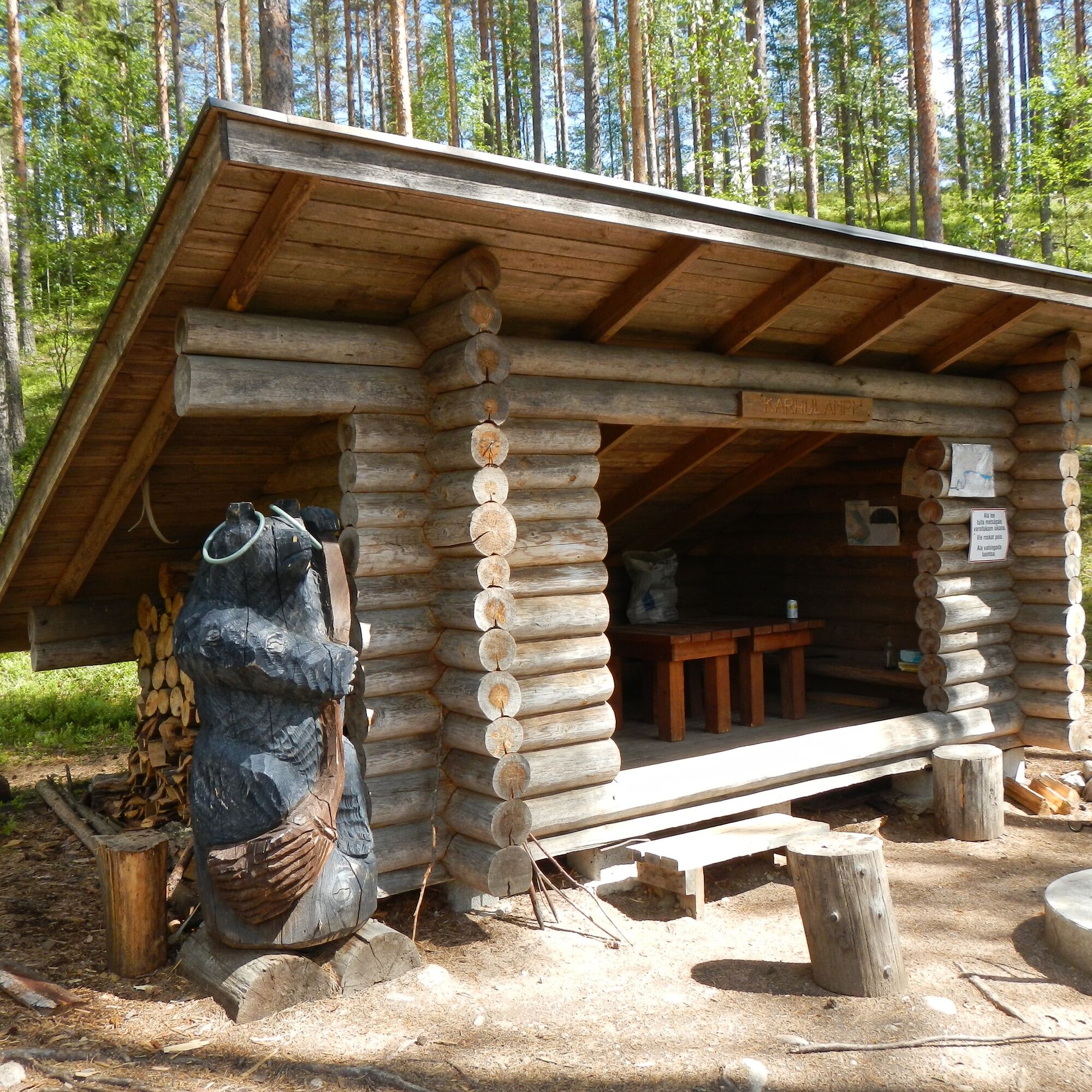
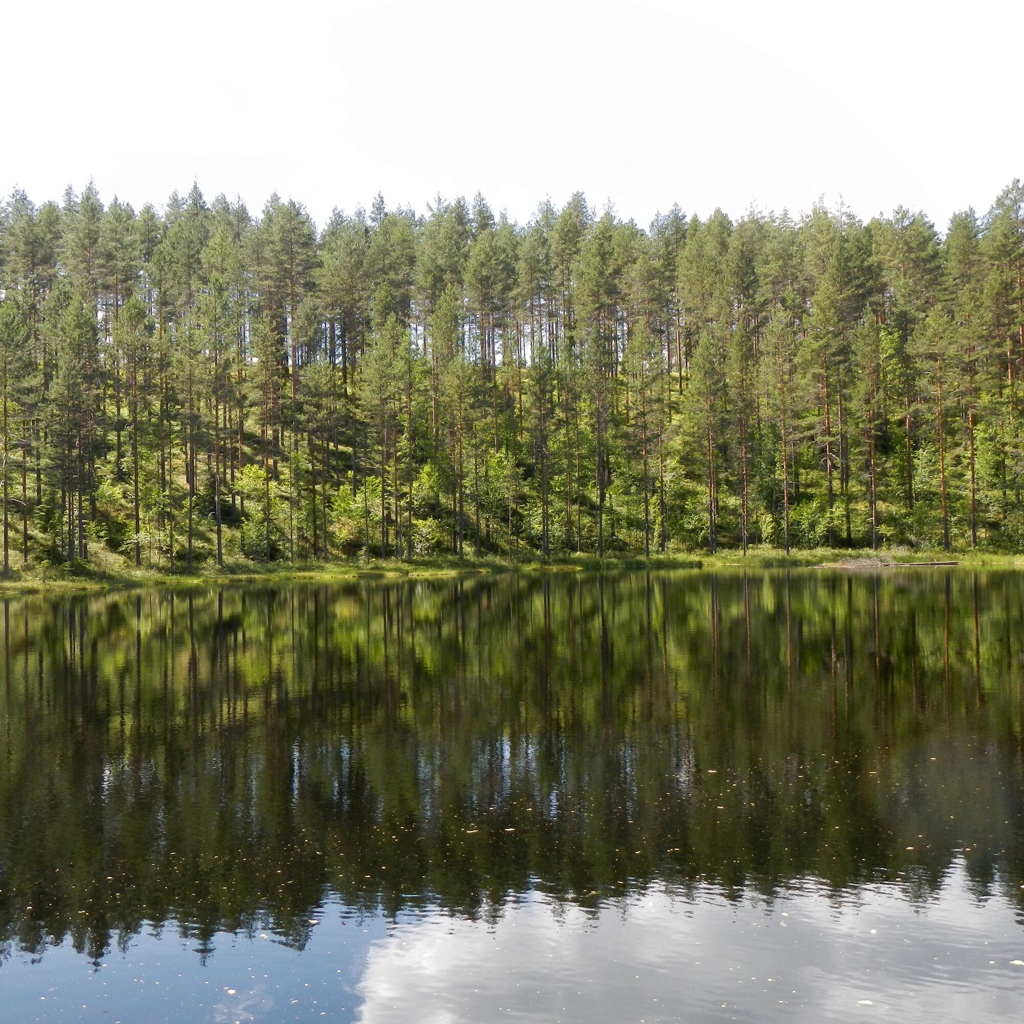
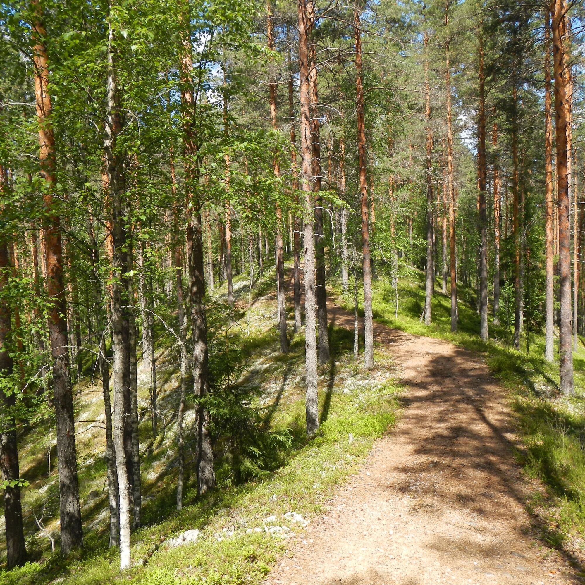
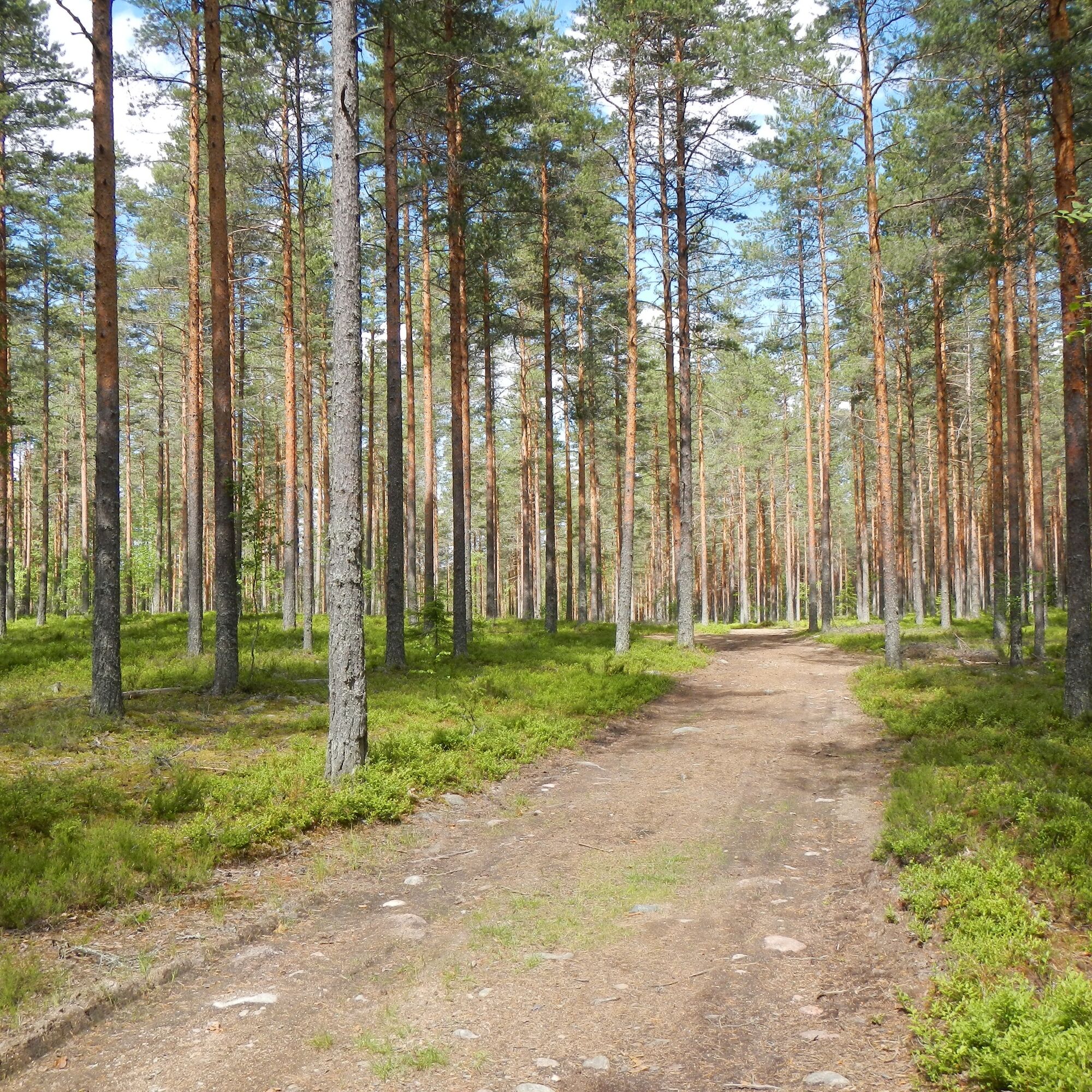
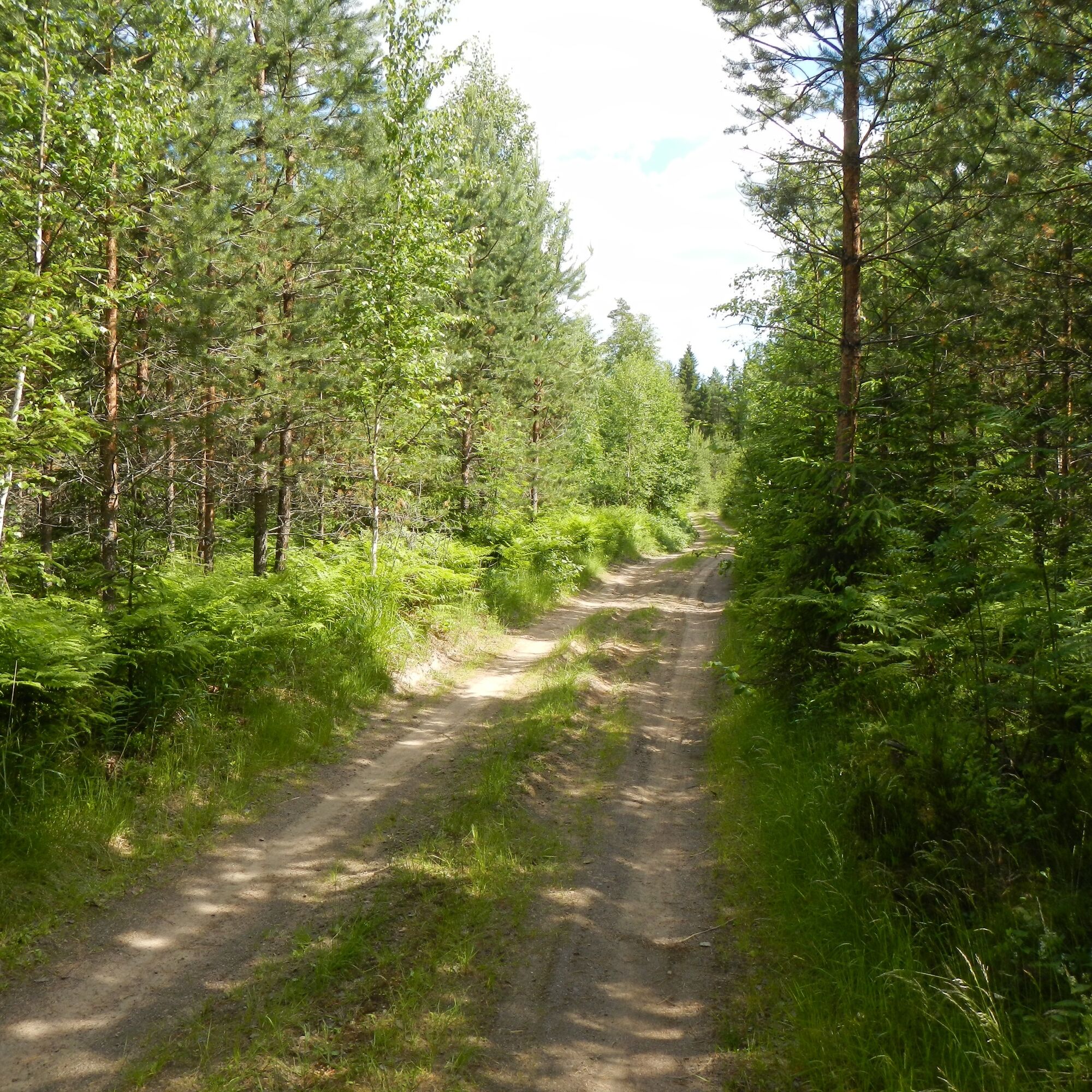
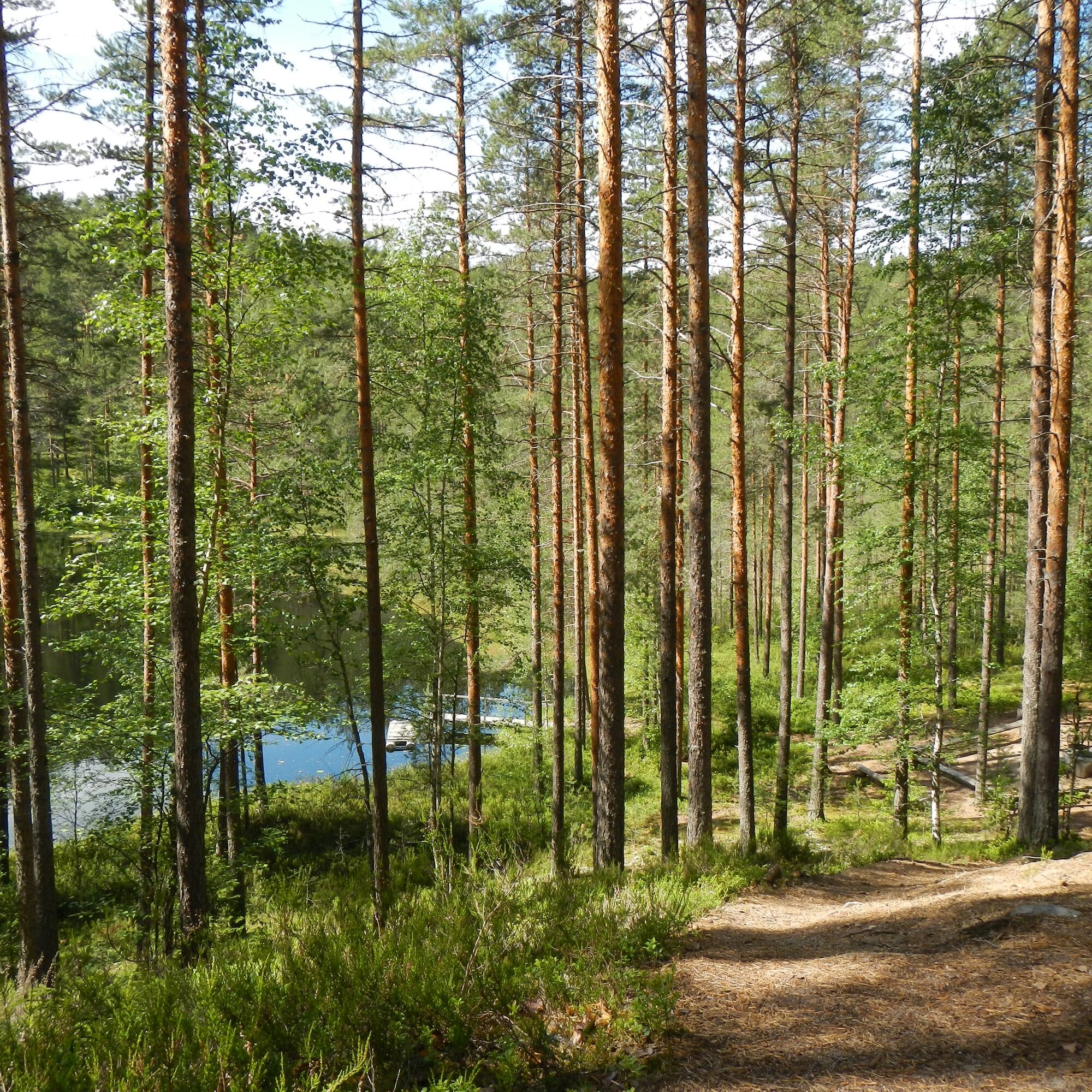
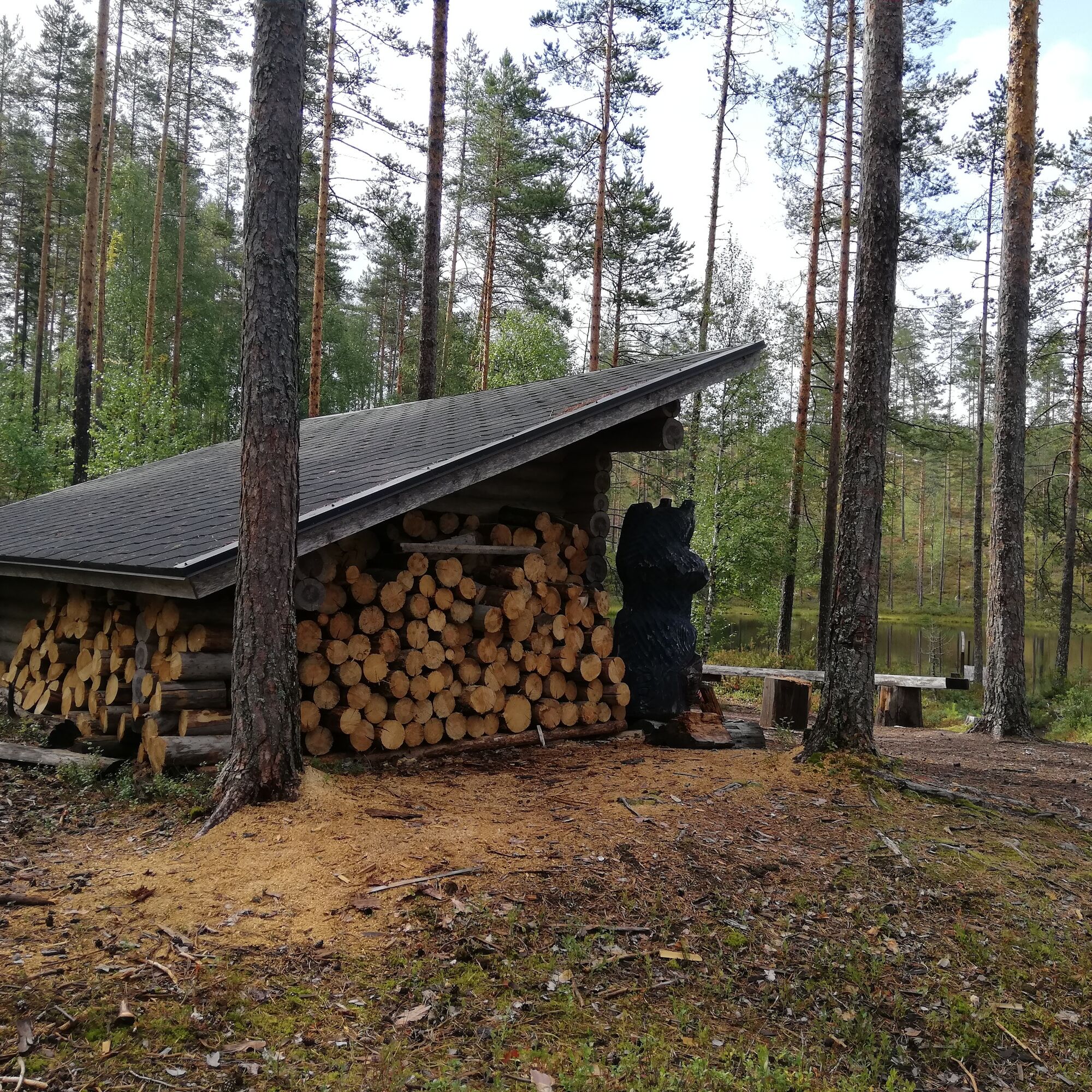
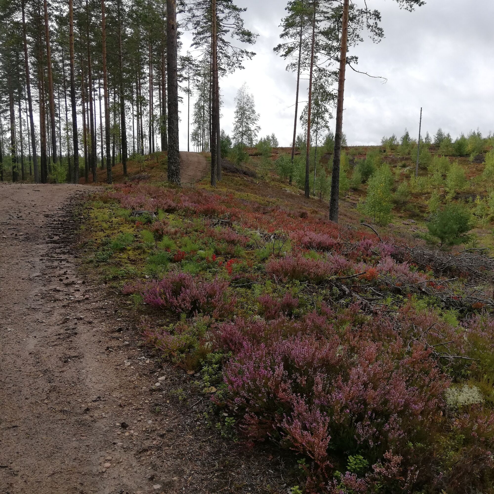
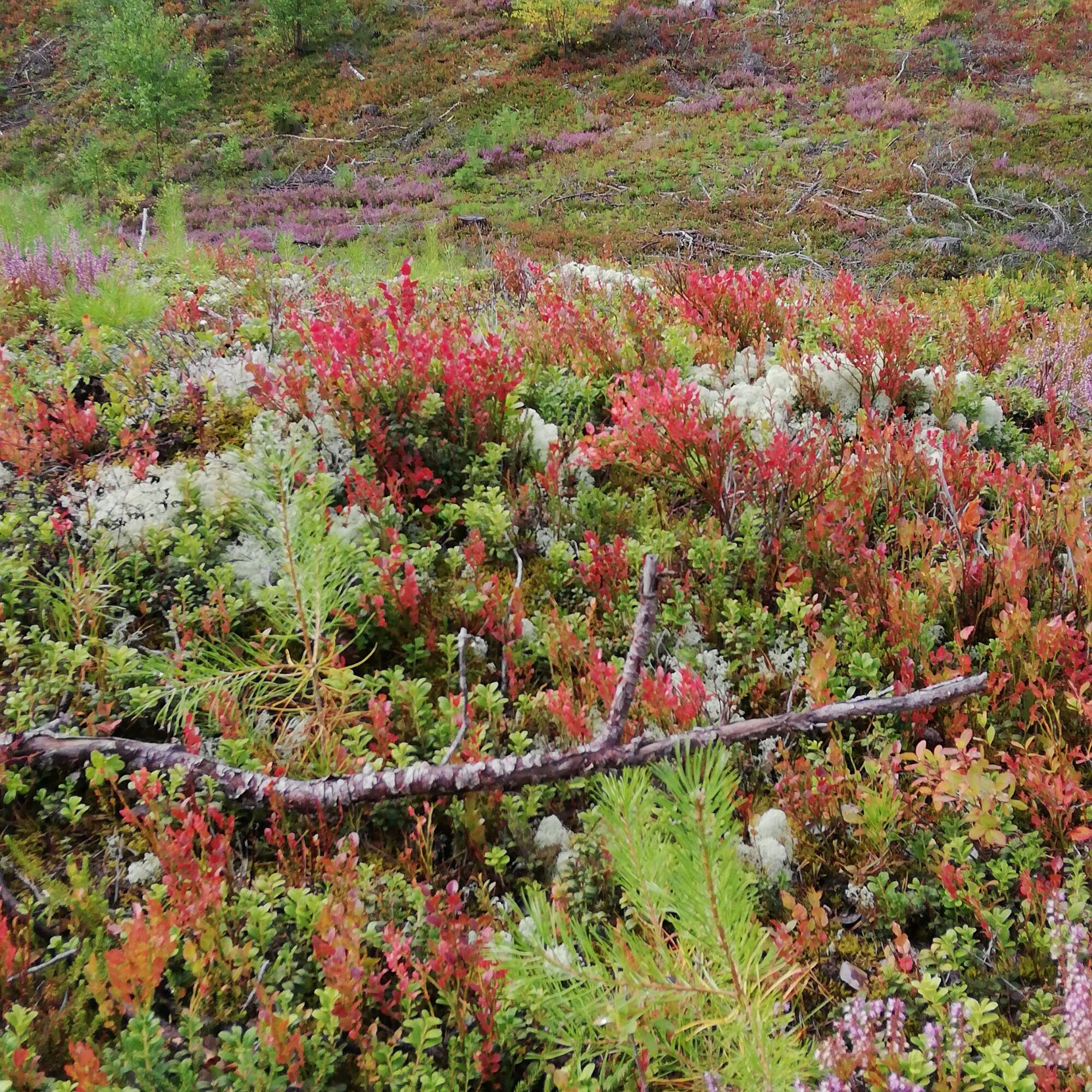
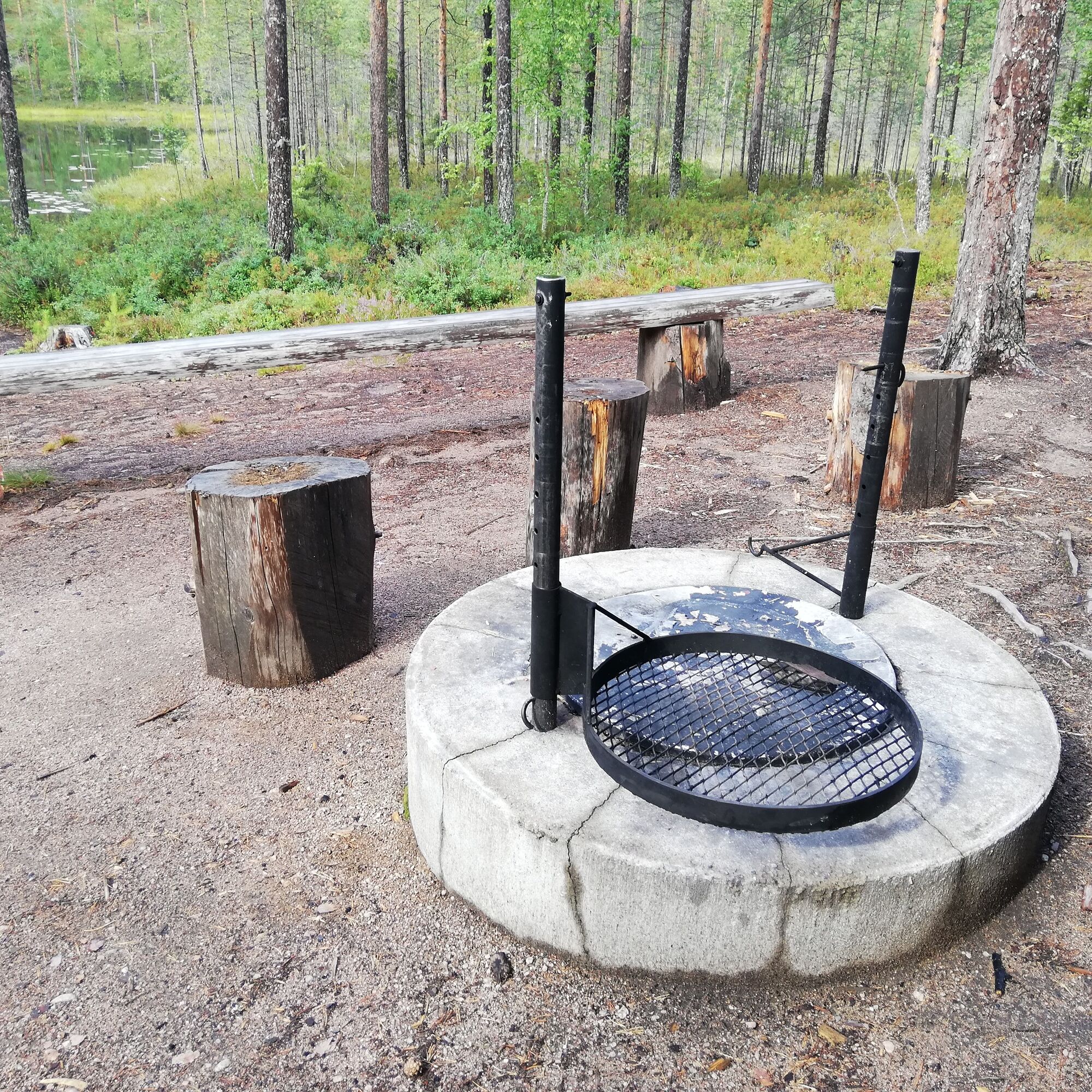
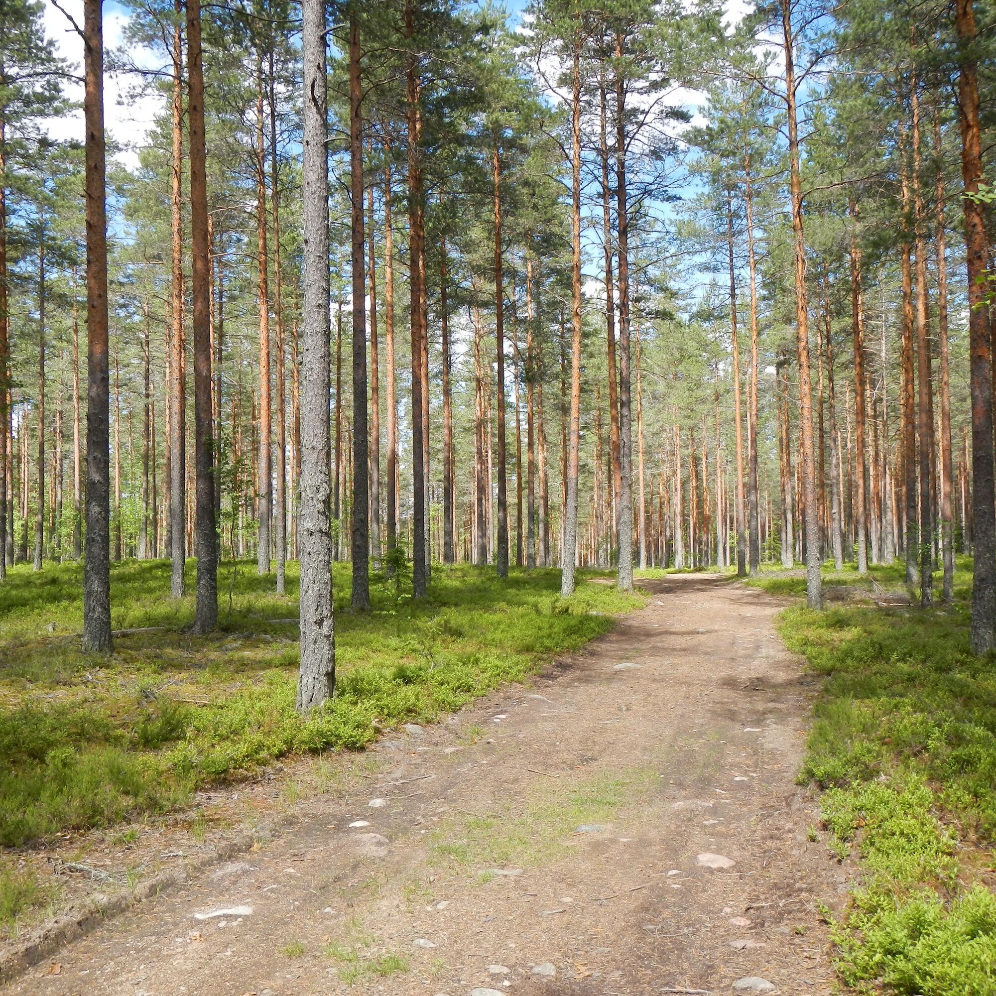
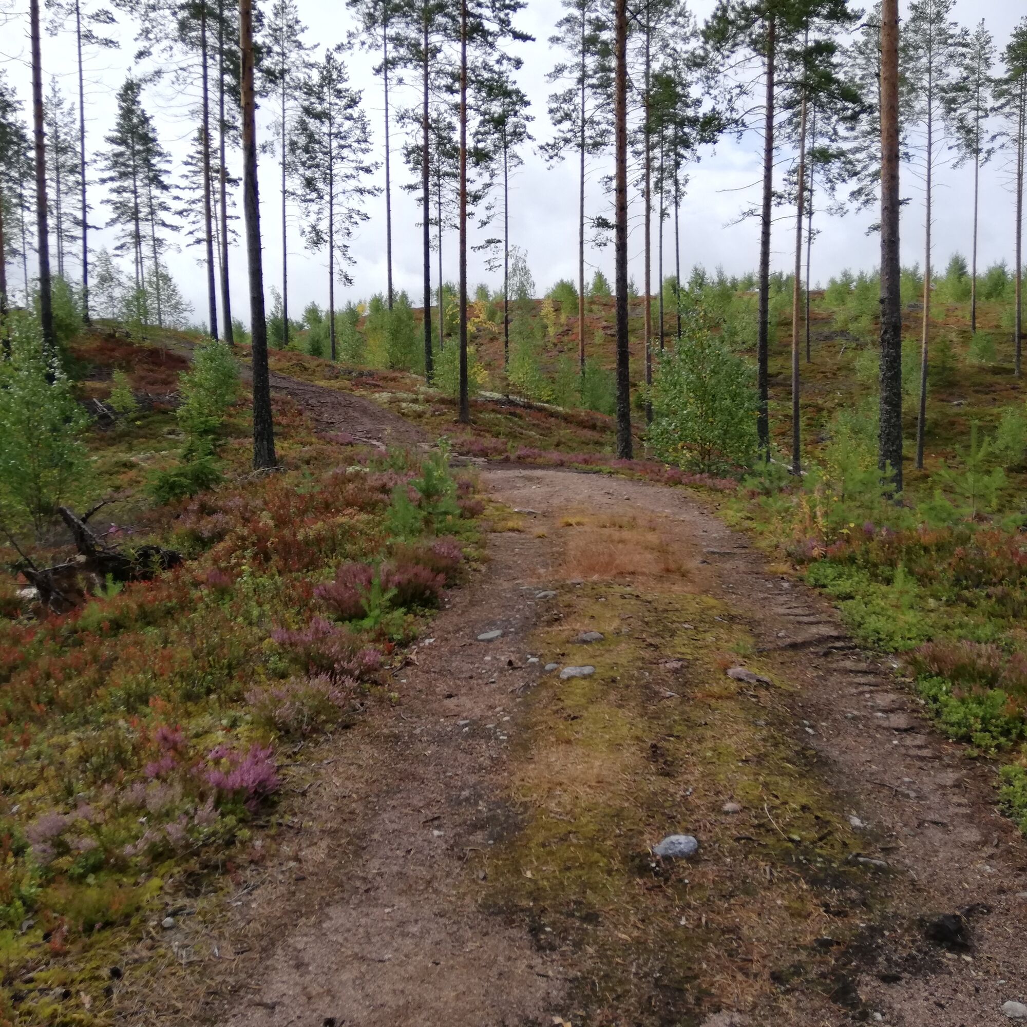

The Tolpankangas nature trail initially follows a forest road through heath forest and later becomes a narrower path. The Ice Age shaped the landforms into ridges, which add pleasant variety to the route both in landscapes and elevation changes. From the ridge that runs high, you descend to the shore of Karhulampi pond. At the pond there is also a lean-to in a beautiful spot. From the lean-to, the trail continues back up onto the ridges. Later the path becomes a sandy road, and the road soon narrows to go under the forest canopy. The trail has no markings, so a map or track of the route is handy, although there are not many bends along the way.
The start point of the Tolpankangas nature trail is located at the nature trail parking area in Kannuskoski.
Tolpankangas nature trail parking area:
Lakkalantie 340
54590 Luumäki
N60 58.558 E27 17.568
Áno
Áno
Weather-appropriate clothing, sturdy footwear, and enough drinks.
It is safest to travel in groups on land and water if you are not familiar with the terrain or water area. Before the trip, it is good to obtain the necessary maps and guides and especially when going on the water, check the weather forecasts. Dress appropriately for the trip and wear sturdy footwear. It is recommended to also bring first aid equipment, rain gear, spare clothes, and enough drinks, especially in summer. Remember to wear a life jacket on the water.
In wet weather and winter, boardwalks, rocks, and piers can be slippery.
During snowy periods, routes and trails are not maintained.
In an emergency, call 112. State your location and what has happened and listen to the instructions.
Current warnings for land and sea areas
Difficulty
About 2 kilometers from the start of the nature trail is a wide path and forest road, after which the rest continues on sand and forest roads. There are some elevation changes along the route and a few slightly steeper short climbs of 20-30 percent near the beginning. The trail surface is easy to walk.
Duration
About 2 hours
Trail markings
There is an information board about the route at the start. Currently, the trail has no signposting.
Suitability
The trail is suitable for the whole family. The lean-to and swimming spot are only 800 meters from the start of the trail.
Turn from VT6 towards Kannuskoski. The trail can be found about 1 km from the village upstream, on the north side of the rapid (Väliväylä).
Trail start point: (60.97631, 27.29321)
Address: Lakkalantie 340, Luumäki
The Tolpankangas nature trail was built by the Kannuskoski village association.
The lean-to located by the pond is truly charming; like an oasis!
Turistika a stopovanie


Nenechajte si ujsť ponuky a inšpiráciu na ďalšiu dovolenku
Vaša e-mailová adresa bol pridaný do poštového zoznamu.





