


Hukkavuori nature trail, Ruokolahti
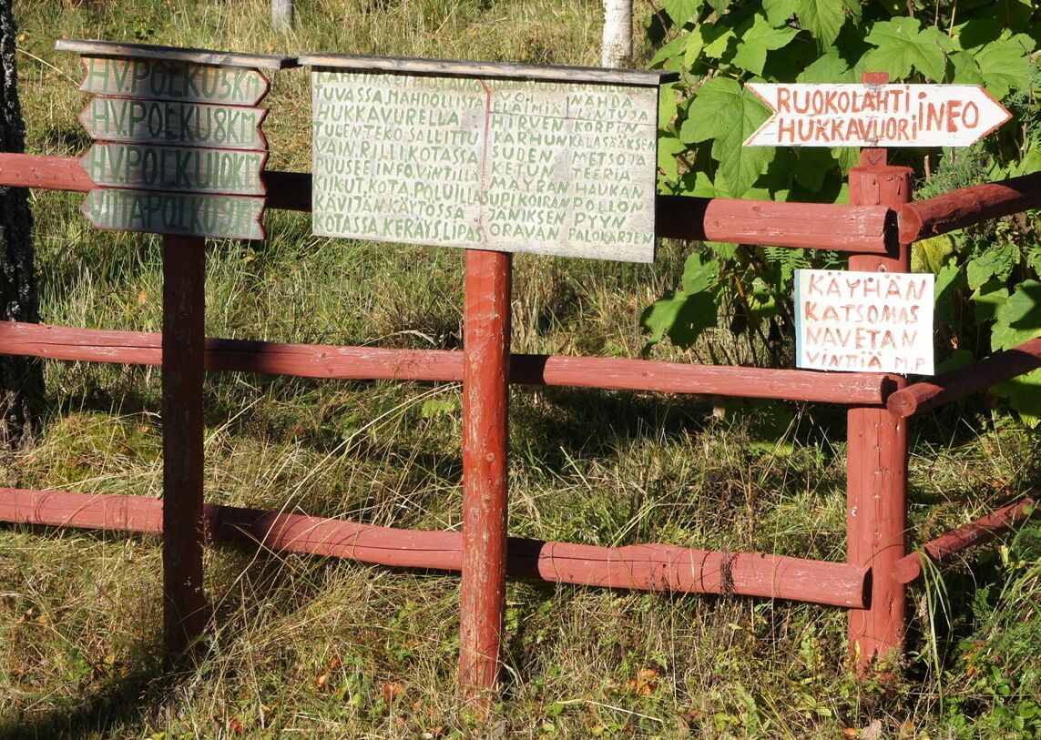
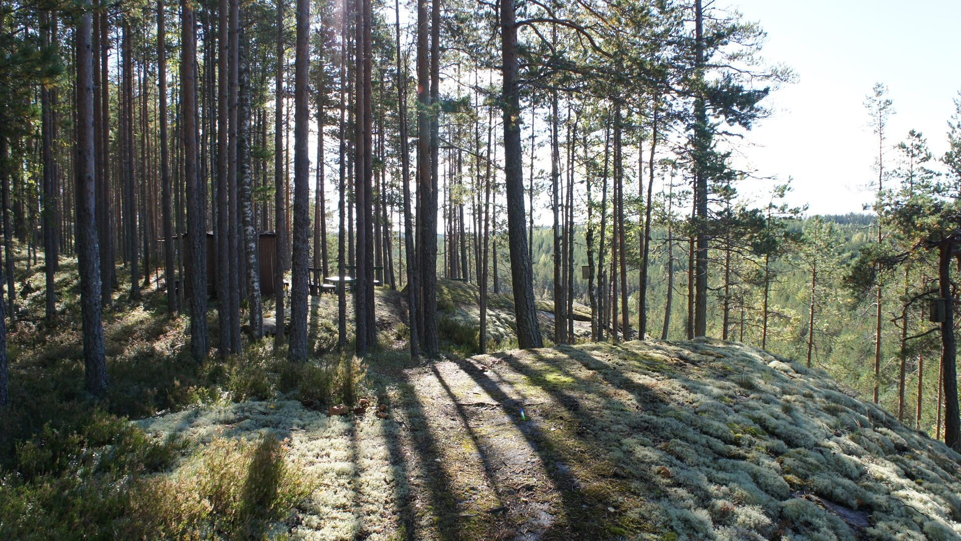
The lengths of the Hukkavuori trails vary between 5-10 kilometers. There is also the option to choose a shorter 2 km route. Along the nature trail, there are 15 information boards about nature. The trail...
The lengths of the Hukkavuori trails vary between 5-10 kilometers. There is also the option to choose a shorter 2 km route. Along the nature trail, there are 15 information boards about nature. The trail was built by Matti Päivinen in 1996. There are several natural sights along the trail.
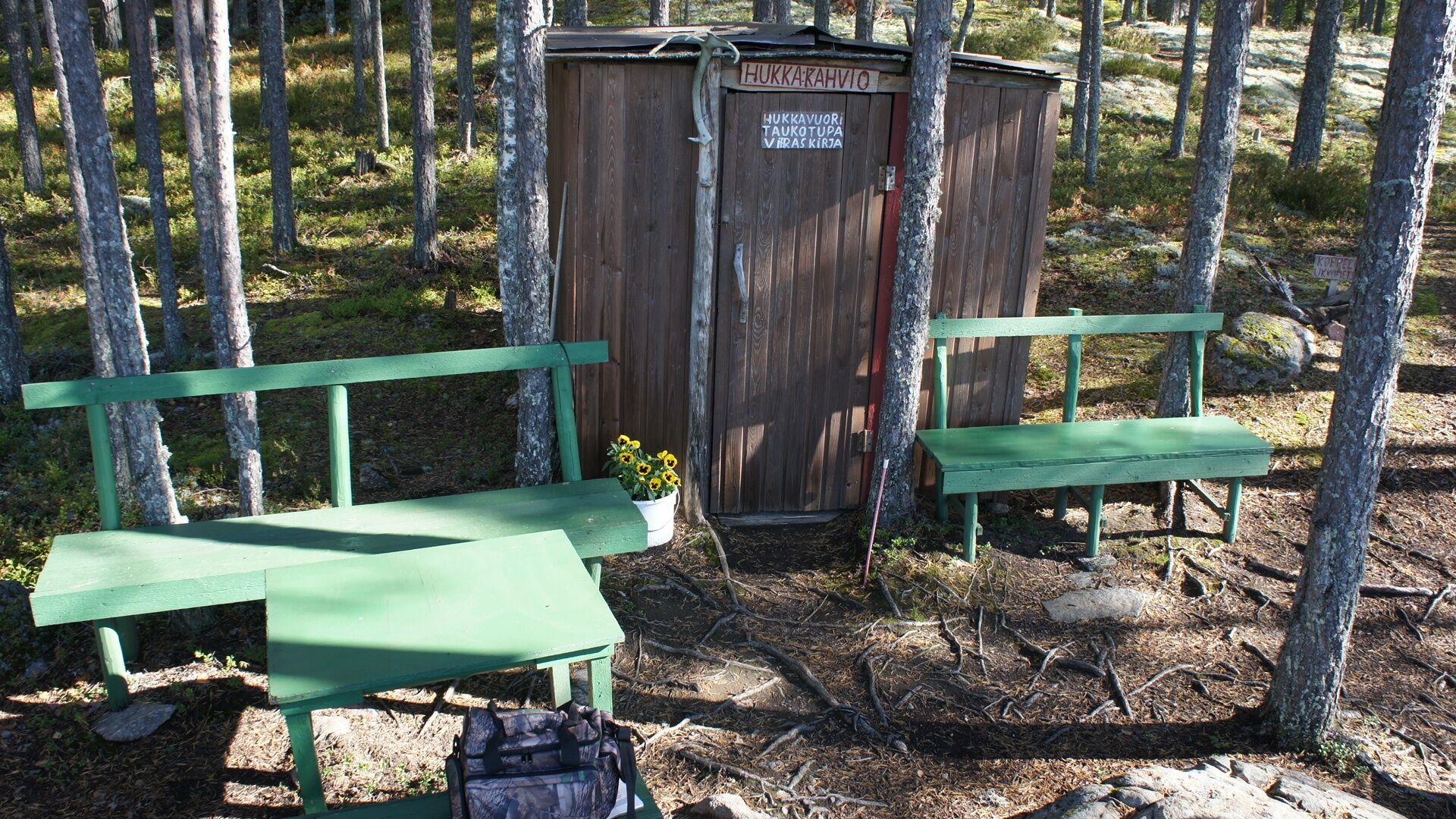
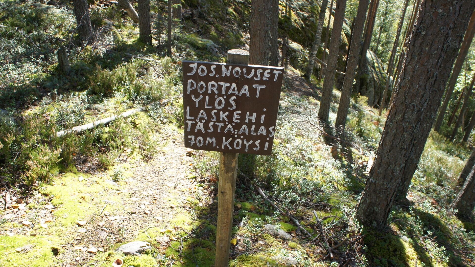
Completing the trail including breaks takes about 3-4 hours. It is advisable to bring waterproof hiking boots. At the top of Hukkavuori, there is a resting place and a shelter, but no water point or possibility to make a fire. It is recommended to fill your water bottle from the spring located at the first checkpoint, about one hundred meters from the start.

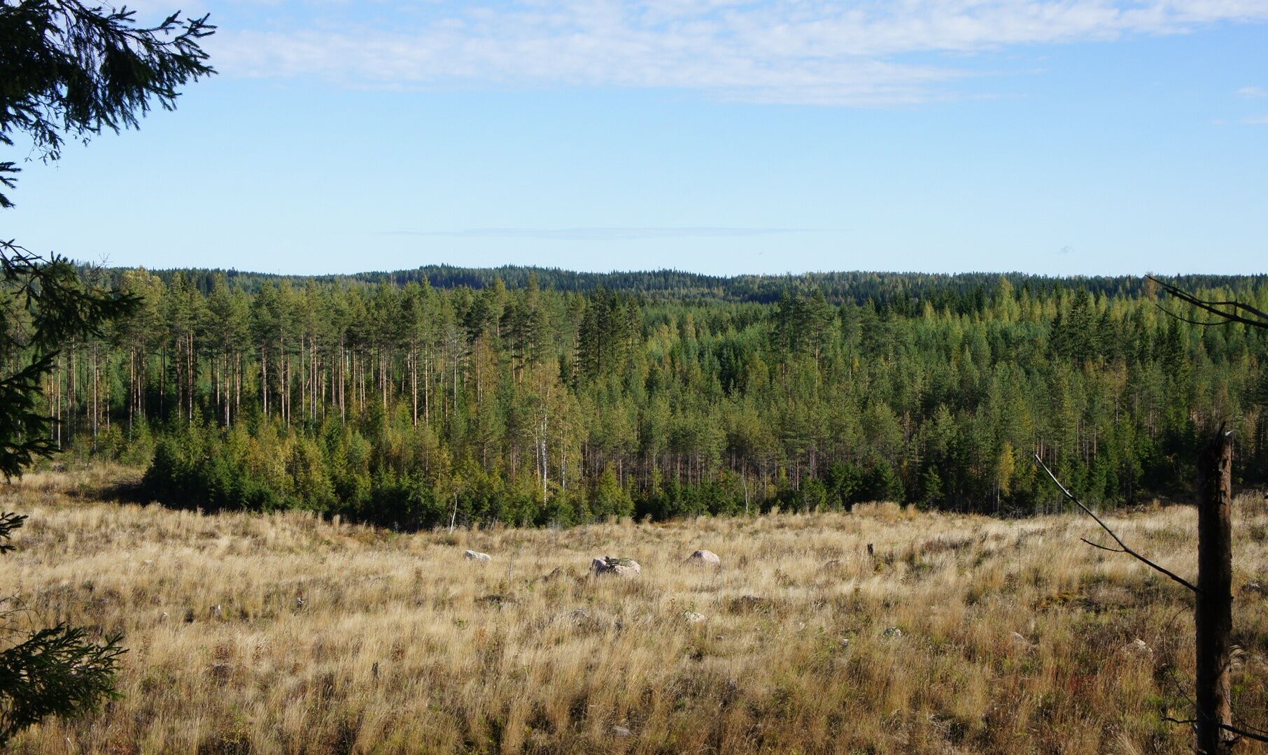
Hukkavuori is located in the northern part of Ruokolahti along Särkilahdentie, near the border of the Eastern Finland province. The lengths of the Hukkavuori trails vary between 5-10 km. There is also the option to choose a shorter 2 km loop.
Coordinates: (WGS84): 61°31'22.8" N, 29°03'10.8" E (= 61.523, 29.053)
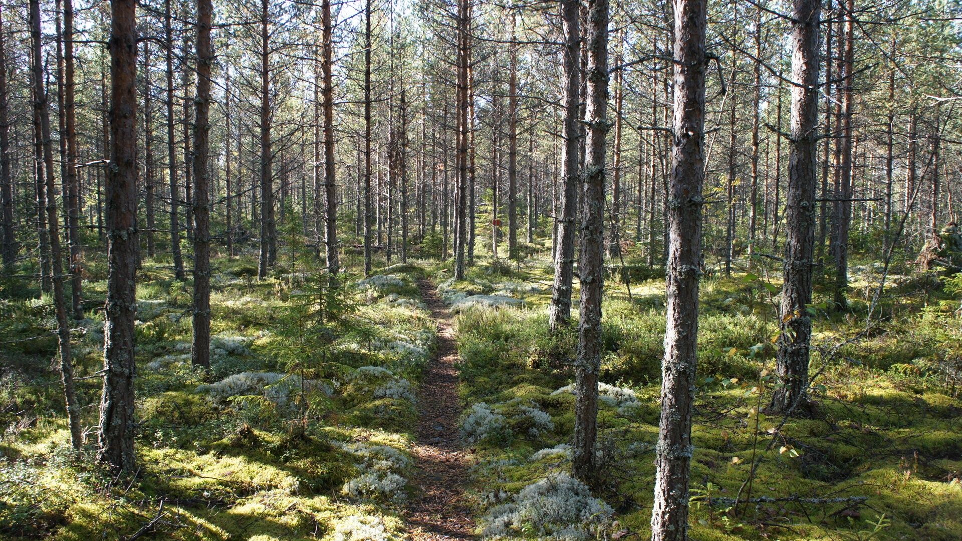
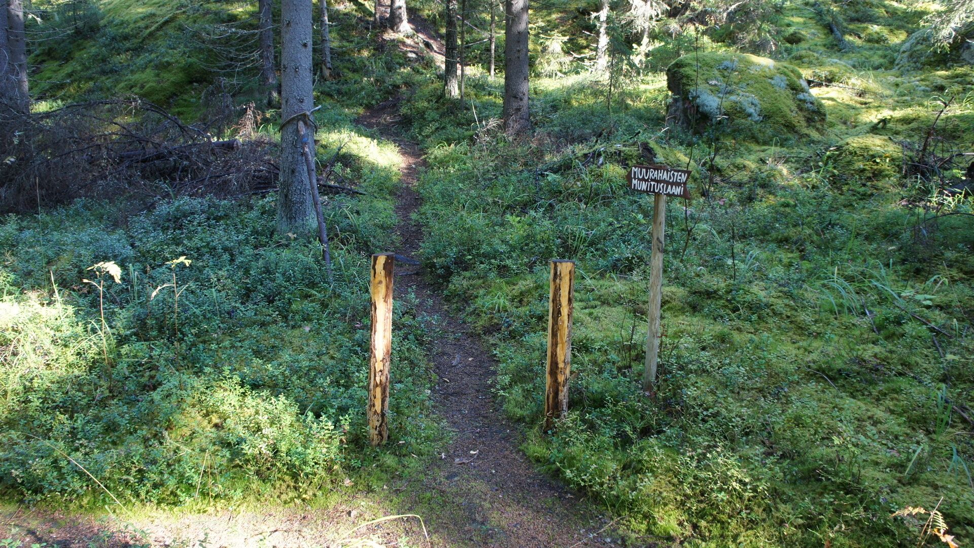
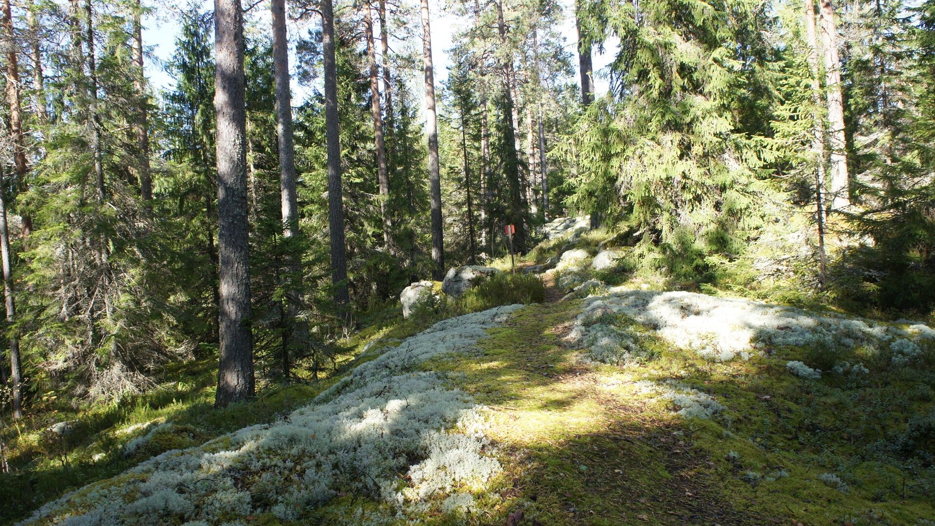
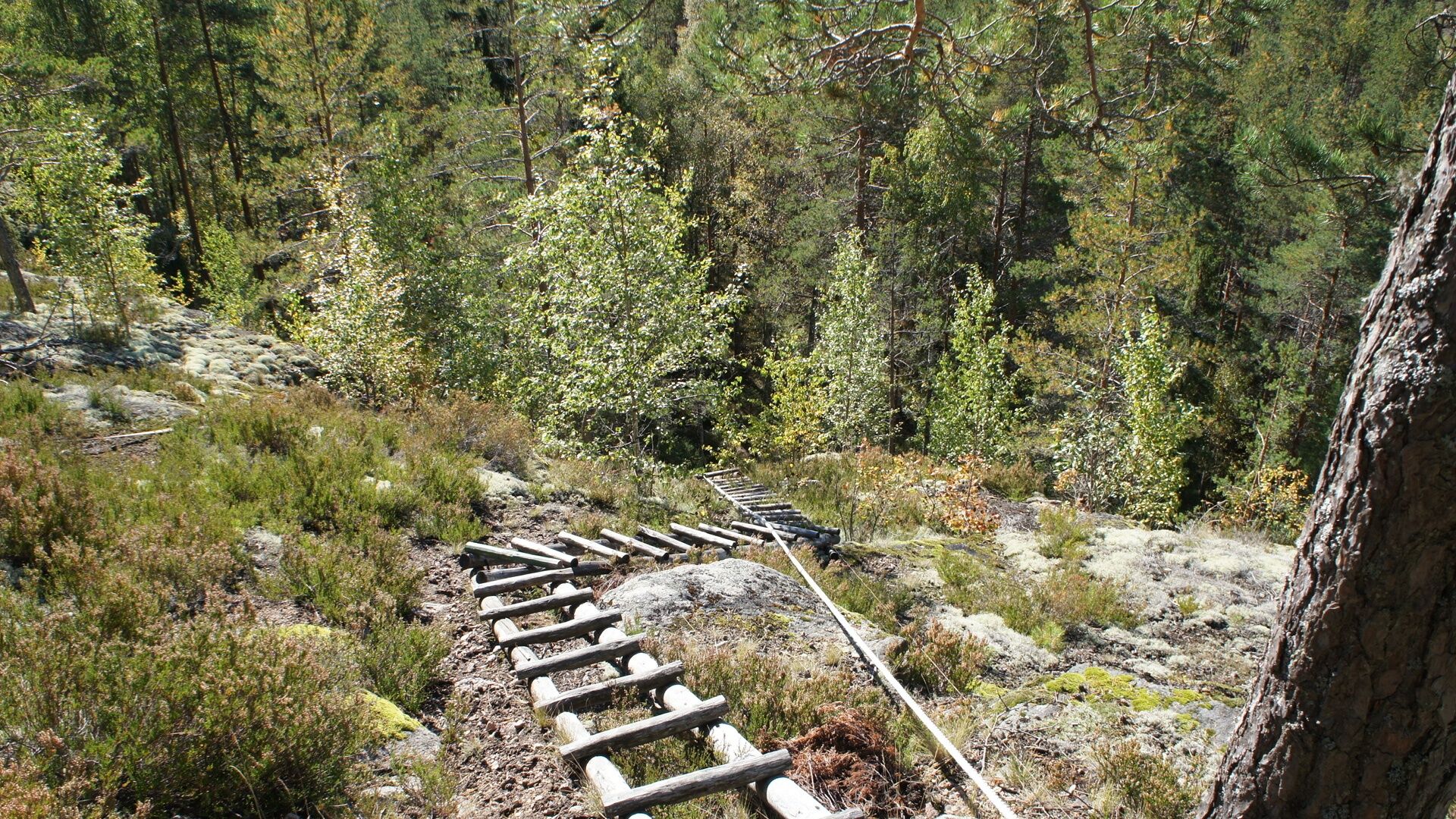
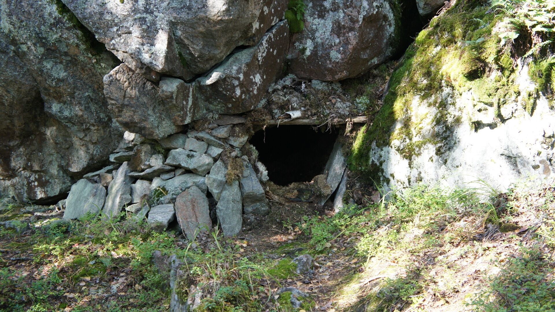
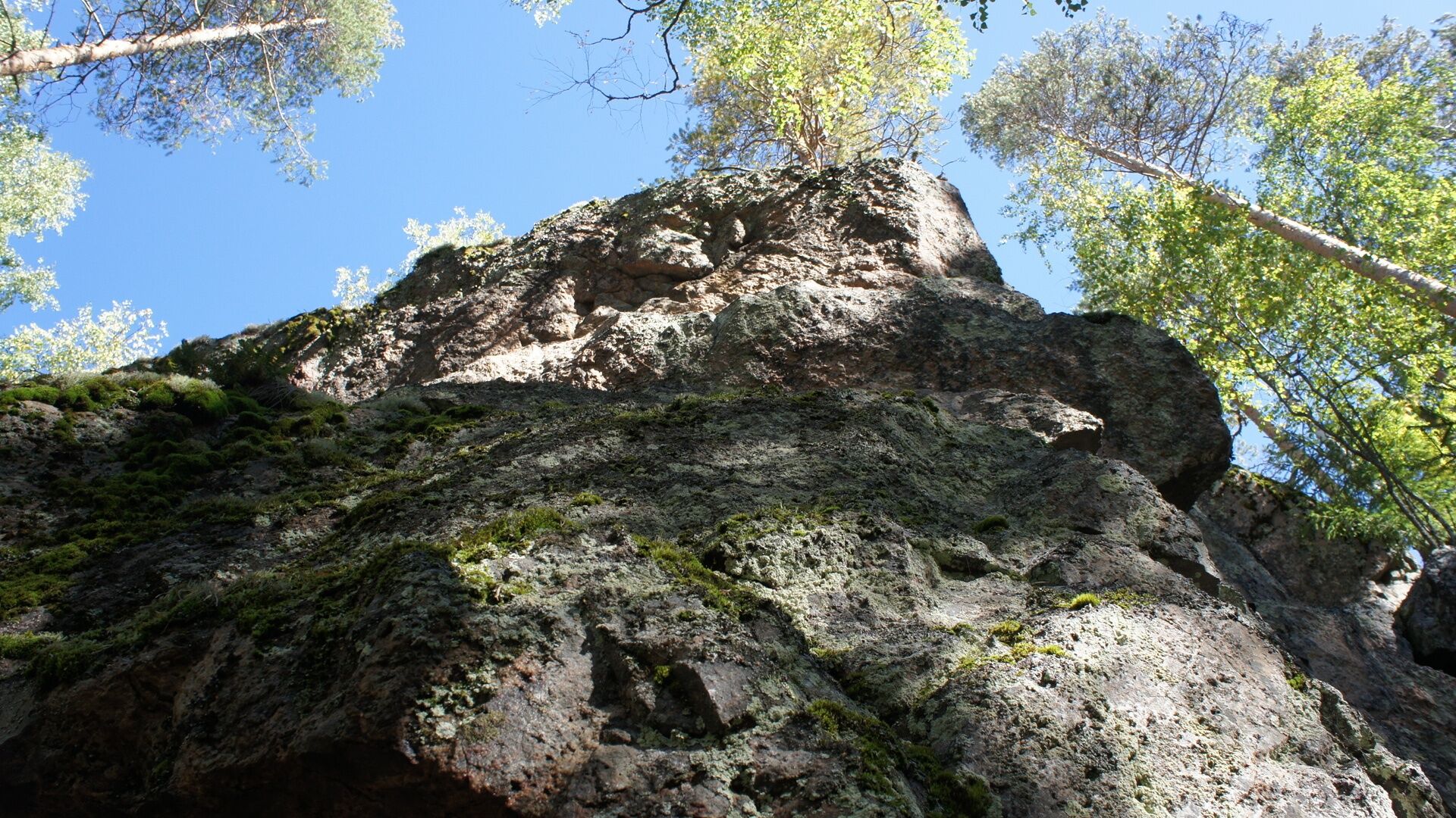
The route is well marked in the terrain. Along the nature trail, there are 15 information boards about nature. Climbing on the slopes of Hukkavuori requires agility and good fitness. Small children must be supervised at the edge of the cliff and at "Jacob's Ladder." It takes about 3-4 hours to complete the trail. The trail circling Torninmäki and Hukkavuori, the Viitapolku trail behind the Päivälä house, and the trail around Kaunislampi are marked as demanding routes, indicated by a black triangle. The rest of the route is flat, so it is an easy trail.
Áno
Sturdy footwear, weather-appropriate clothing, and enough drinking water.
It is safest to travel in groups in the terrain and on the water if you are not familiar with the area. Before the trip, it is good to obtain the necessary maps and guides, and especially when going on the water, check the weather forecasts. Dress according to the weather and wear sturdy footwear. It is also recommended to bring first aid equipment, rain gear, spare clothes, and enough drinking water, especially in summer. Remember to wear a life jacket on the water.
On wet days and in winter, boardwalks, rocks, and docks can be slippery.
Trails and paths are not maintained during snowy periods.
In an emergency, call 112. State your location, what has happened, and listen to the instructions.
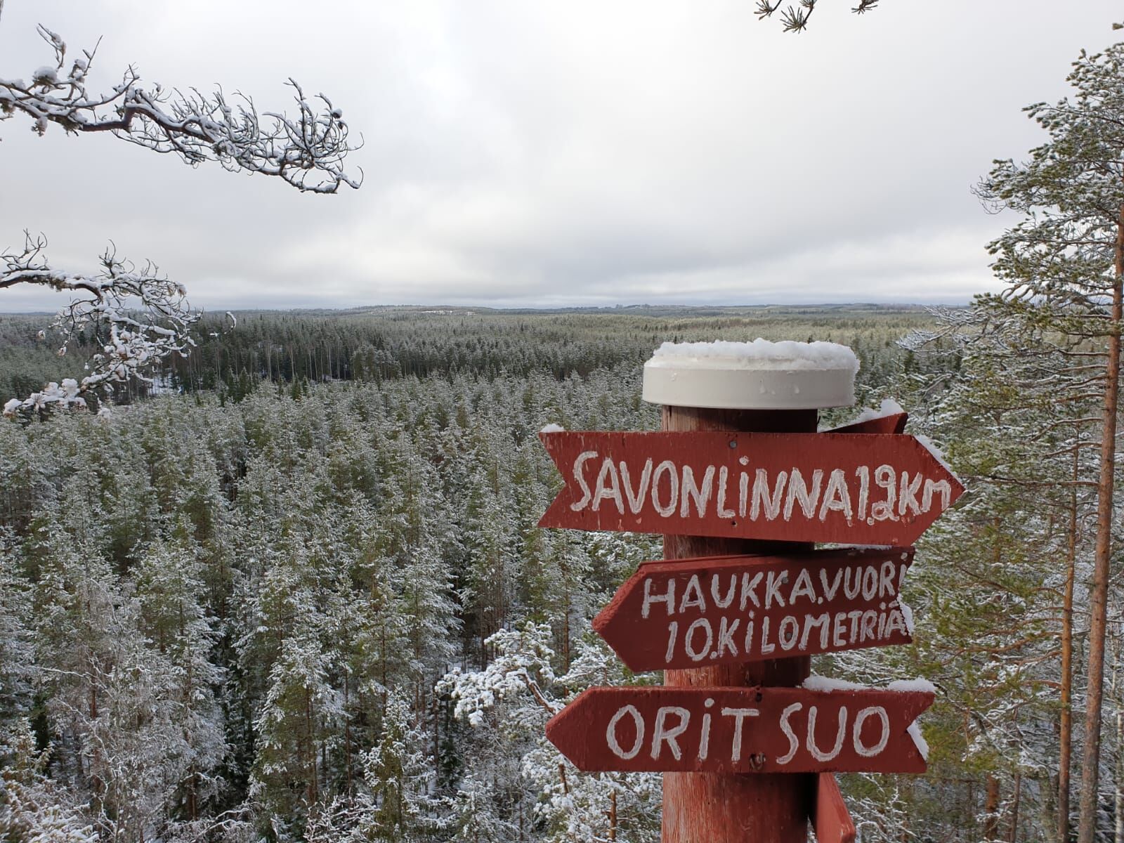
From VT 6 towards Imatra, about 5 km after the end of the motorway, turn left onto Särkilahdentie towards Pohja-Lankila. Drive about 30 kilometers along Särkilahdentie.
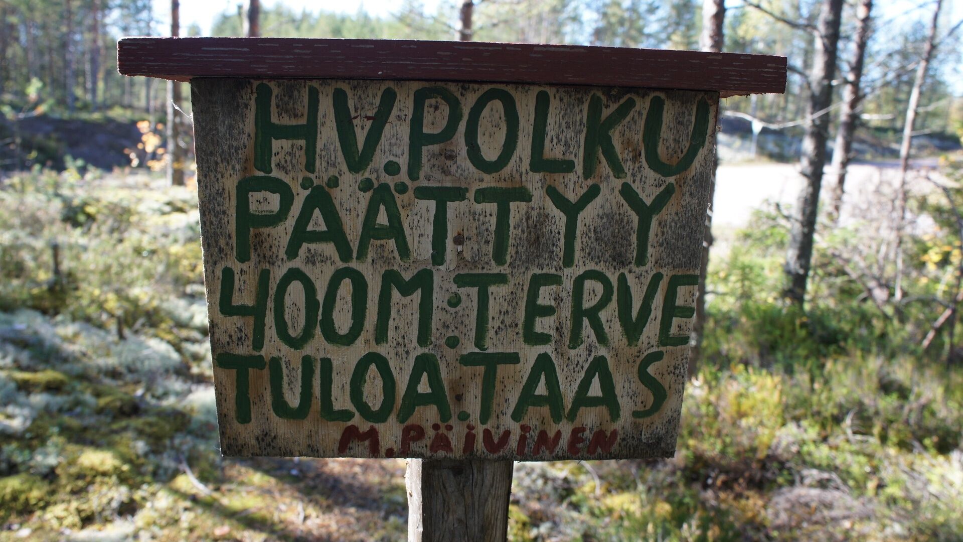
Parking is located in the yard of Matti Päivinen, who founded the nature trail, at Särkilahdentie 2999, 56440 Ruokolahti. Good signs from the road.
There is no public transportation to the site.
Parking is located in the yard of Matti Päivinen, who founded the trail, at Särkilahdentie 2999, 56440 Ruokolahti.
READ THE STORY OF THE HUKKAVUORI NATURE TRAIL!
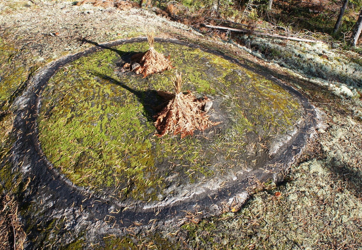
ANT QUEEN BREEDING AREA ON THE HUKKAVUORI TRAIL
The breeding of ants is a term unfamiliar to many today, but in the 1950s, ant breeding was an important livelihood in Finland, especially in Karelia. In forested areas, such as Ruokolahti, there were abundant ant populations and large colonies. Some anthills were several meters wide. Ant eggs were valuable export goods: eggs were used, among other things, for the production of protein powder and for the needs of the German pharmaceutical industry. One nest could produce a lot of this expensive export product. You can learn about ant breeding by visiting the ant breeding area along the Hukkavuori trail in the village of Pohjalankila in Ruokolahti, in Marjamäki. The breeding season started during Midsummer week. At night, the eggs were dug up from the bottom part of the anthill into sacks. At that stage, the sieve separated the largest debris. The ants performed the final sorting the following day in a specially constructed and designated area. This could be a clean, flat rock surface, fabric laid in the forest, or an area built and bounded with tar – the breeding area. Breeding began with the sacks’ contents being spread on the area in the morning, and the ants started sorting by carrying the eggs under the fern leaves placed on the area. The work had to be constantly supervised, as the ants could start carrying away debris as the eggs decreased. On hot days, ants could go on a transportation strike. This could be interrupted by sprinkling a few drops of water on the breeding area. The ants would think the rain had started and would resume work quickly. |
Sources:
Kähkönen & Korjonen-Kuusipuro (eds.) 2012. Tales from South Karelia - Tarinoita Etelä-Karjalasta - ÐÑÑоÑии из Южной ÐаÑелии. South Karelia Institute, Lappeenranta University of Technology. Digital Printing. (pp. 113-114)
Siitonen, Sulo. 1986. Information from the Hukkavuori trail. Ruokolahti: Local history archive. Ruokolahti society, Ruokolahti
A unique trail lovingly built around the history of Torsansalo also offers travelers imaginative and fascinating experiences.
Obľúbené výlety v okolí
-
Haukkavuori Nature Trail, Rautjärvi
strednáTematická trasa 4,37 km -
Rajojen route, Rautjärvi (E10)
ťažkédiaľková pešia trasa 19,6 km -
Rajojen reitti Hiking Trail, Parikkala (E10)
ťažkédiaľková pešia trasa 16,5 km -
Torsanjoki nature trail, Ruokolahti
svetloTematická trasa 1,44 km -
Pöröpeikon polku trail, Parikkala
ťažkédiaľková pešia trasa 3,26 km -
BORDERS AND BEYOND – AN EXPERIENTIAL ROUTE
Cyklistika 145,4 km -
Puumala - Runebergin kumpu - Nervanderin kumpu - Matkailukeskus Harjun Portti
ťažkéCyklistika 218,4 km -
Savonlinna - Punkaharju - Lappeen Marian kirkko - Kylpylä
Motorrad 157,0 km -
Savonlinna
svetloSnežnice 2,51 km -
Rautjärvi - Haukkavuori
svetloTuristika 3,93 km
Turistika a stopovanie


Nenechajte si ujsť ponuky a inšpiráciu na ďalšiu dovolenku
Vaša e-mailová adresa bol pridaný do poštového zoznamu.