






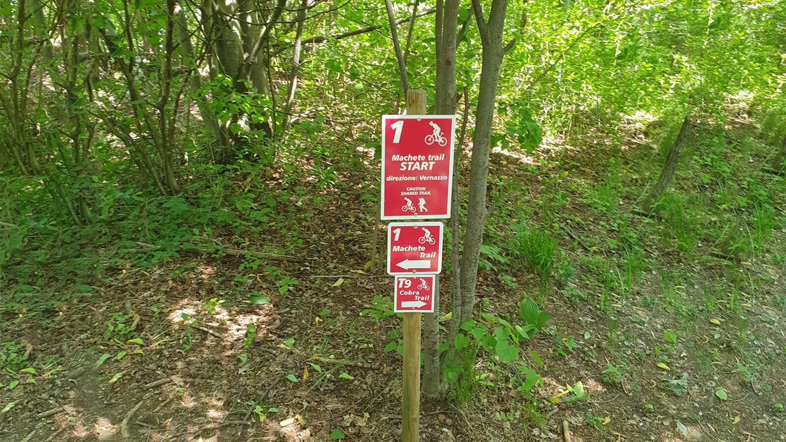
Machete Trail

It is a very varied track, with various types of difficulties and terrains. It starts with some technical bends on the steep slope and, thereafter, continues on a short stone road not to be underestimated...
It is a very varied track, with various types of difficulties and terrains. It starts with some technical bends on the steep slope and, thereafter, continues on a short stone road not to be underestimated and to be tackled carefully. After a slight slope, the flowing stage begins, full of bends and some counterslopes. After a steep gully and a short, slight slope, the “playground” begins, a series of exciting banked and unbanked bends that lead to the fast initial stage (it is strongly recommended to slow down near the houses). In the most technical and difficult stages, an easier line (tofu line) has been prepared, making the trail easy even for the less experienced. Taking advantage of this line, you can ride the trail even in wet ground conditions, even though, in this case, an expert guide is required. For updates on the route please refer to the responsible natisonebikearena.it/sentieri/ .


Type: Enduro - Gravity E-Bike charging: No Length: 2,776 m Negative Elevation difference: 537 m Positive Elevation difference: 8 m Average time: 12 min Terrain: Trail in private property. ITA classification: Intermediate A.S.D. Machete Team macheteteamofficial@gmail.com
Obľúbené výlety v okolí
-
4,0
Matajur
strednáMountainbike 24,8 km -
4,5
Kolovrat mountain loop
svetloTuristika 7,51 km -
4,7
Etappe 30 Alpe-Adria-Trail: Breg bei Golo Brdo - Šmartno
strednádiaľková pešia trasa 27,4 km -
3,8
Etappe 29 Alpe-Adria-Trail: Cividale - Breg bei Golo Brdo
svetlodiaľková pešia trasa 13,2 km -
4,0
Monte Matajur route
strednáTuristika 6,66 km -
4,0
Matajur (1642 m) from Marsin
strednáTuristika 10,2 km -
SOČA VALLEY I2A: Robidišče route
strednáCyklistika 24,8 km -
Okruh Udine a Cividale (R037)
strednáDiaľková cyklotrasa 48,8 km -
10 thousand steps of health FVG - SAN PIETRO AL NATISONE - route 1
svetloTuristika 4,26 km -
5,0
Trasa údoliami Natisone (Cividale - Stupizza) (P006)
strednáDiaľková cyklotrasa 20,5 km
Turistika a stopovanie


Nenechajte si ujsť ponuky a inšpiráciu na ďalšiu dovolenku
Vaša e-mailová adresa bol pridaný do poštového zoznamu.





