







Sella Sant’Agnese and Lake Minisini MTB Loop (M001)

Úroveň náročnosti: ■
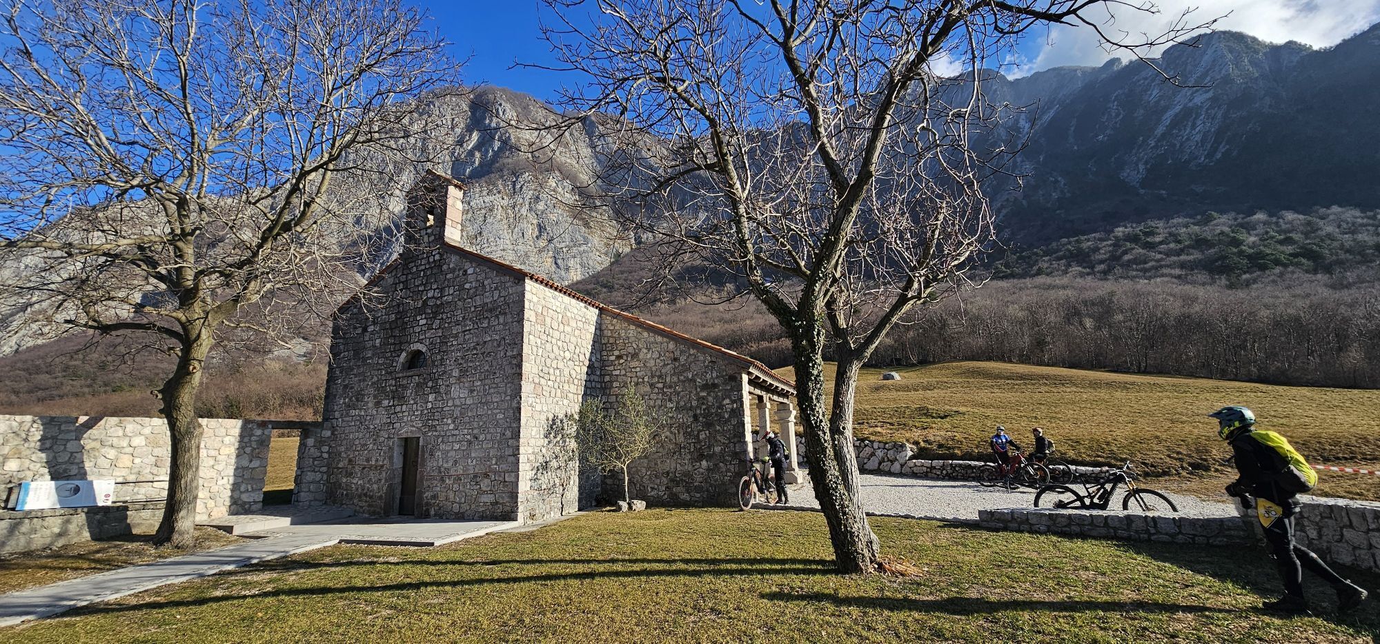
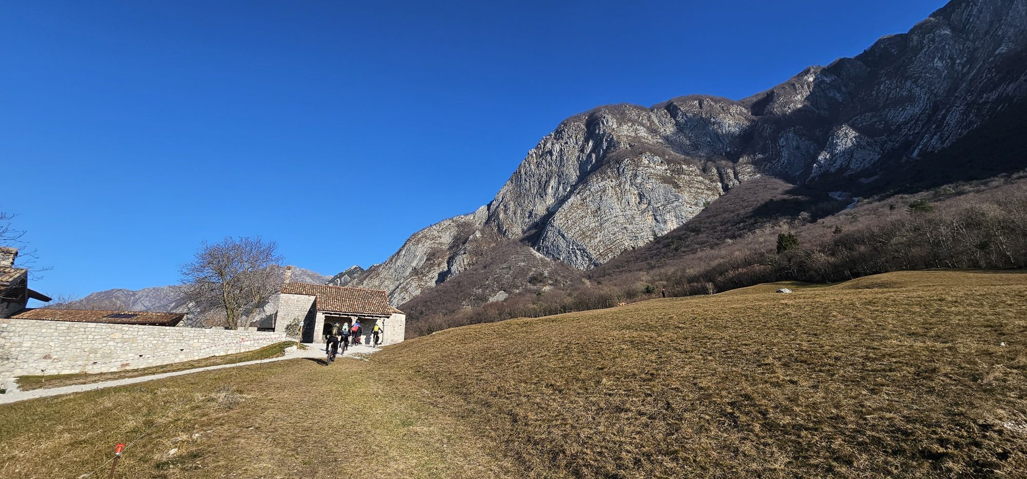
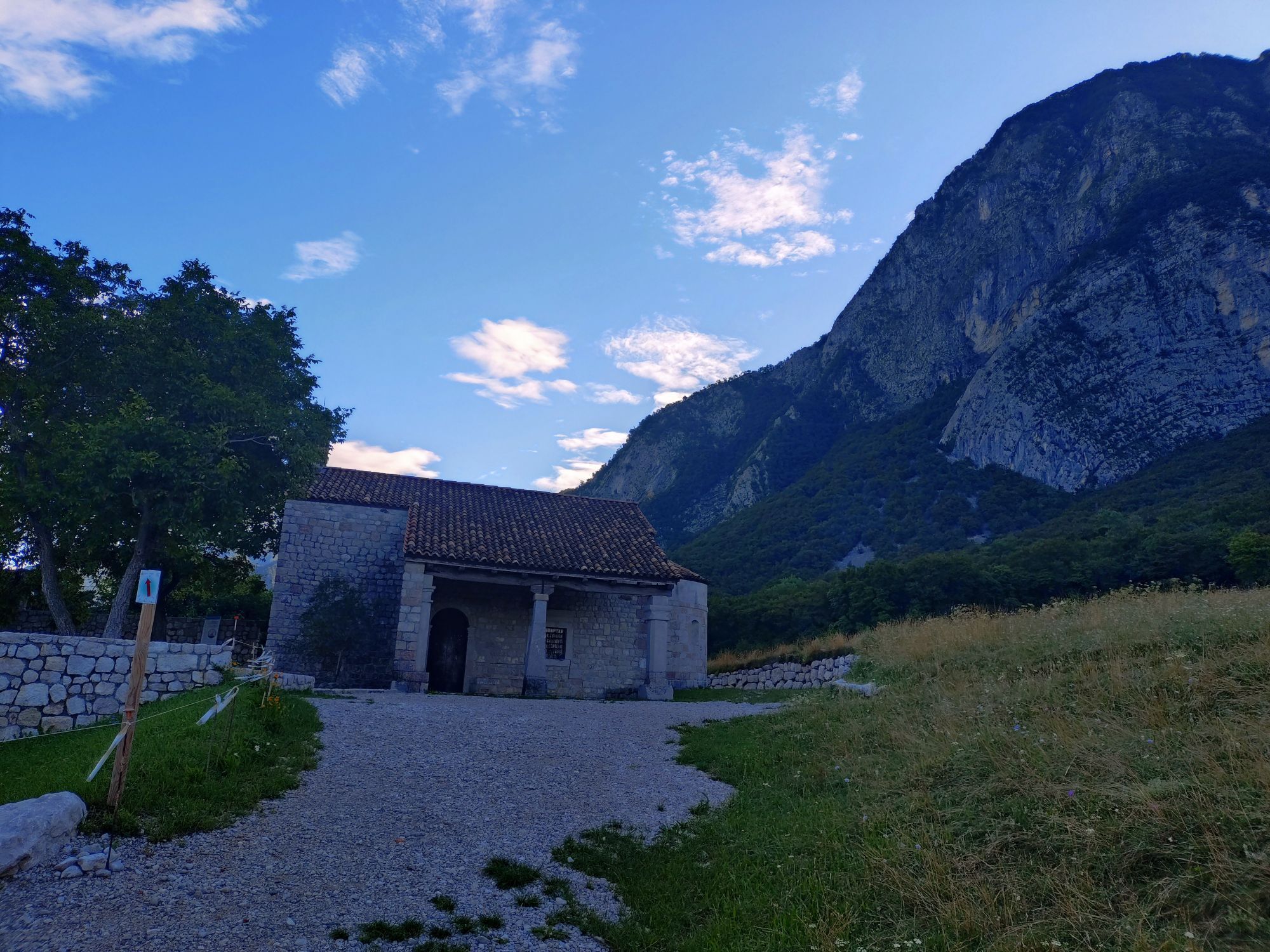
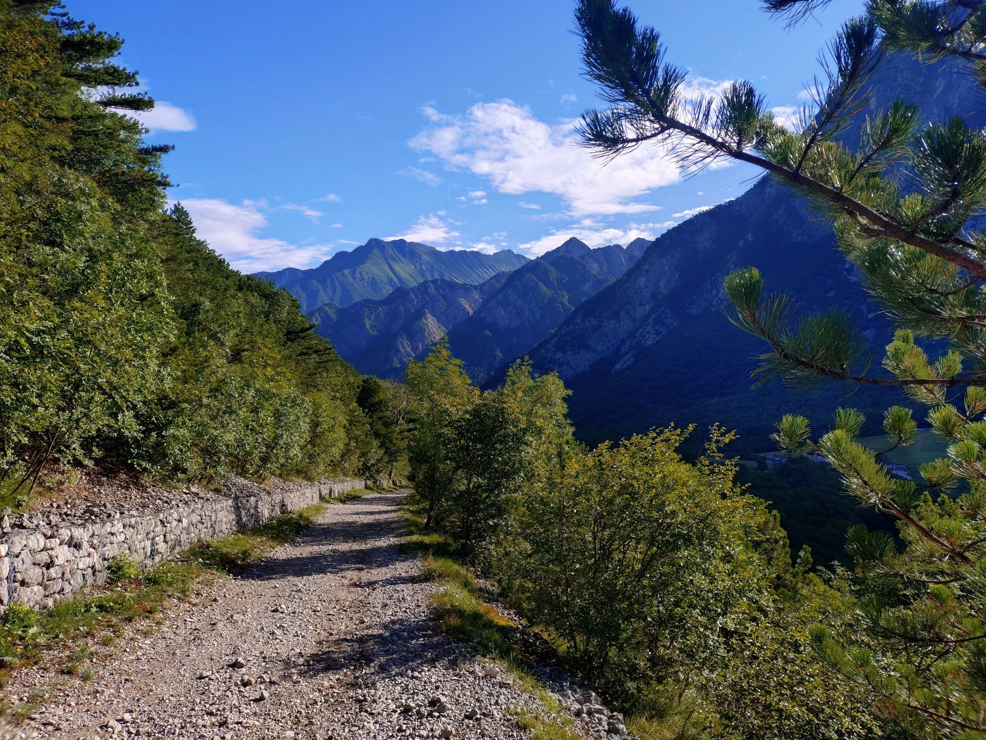
This loop trail, one of the most popular among the people of Gemona, packs some of the most evocative views of the Friulian foothills into just a few kilometres. From the Laser Recreation Centre, the route...
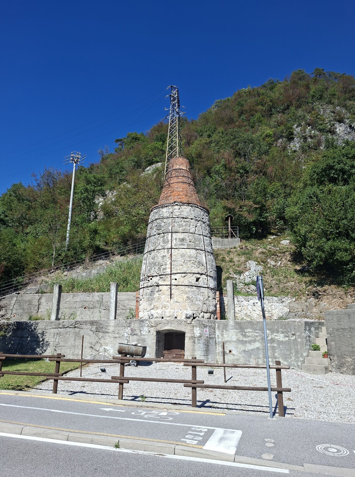
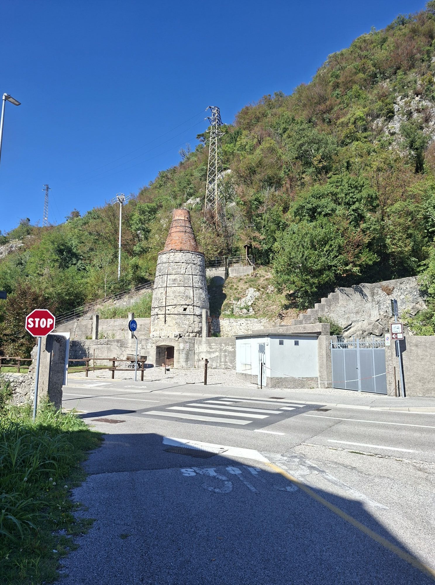
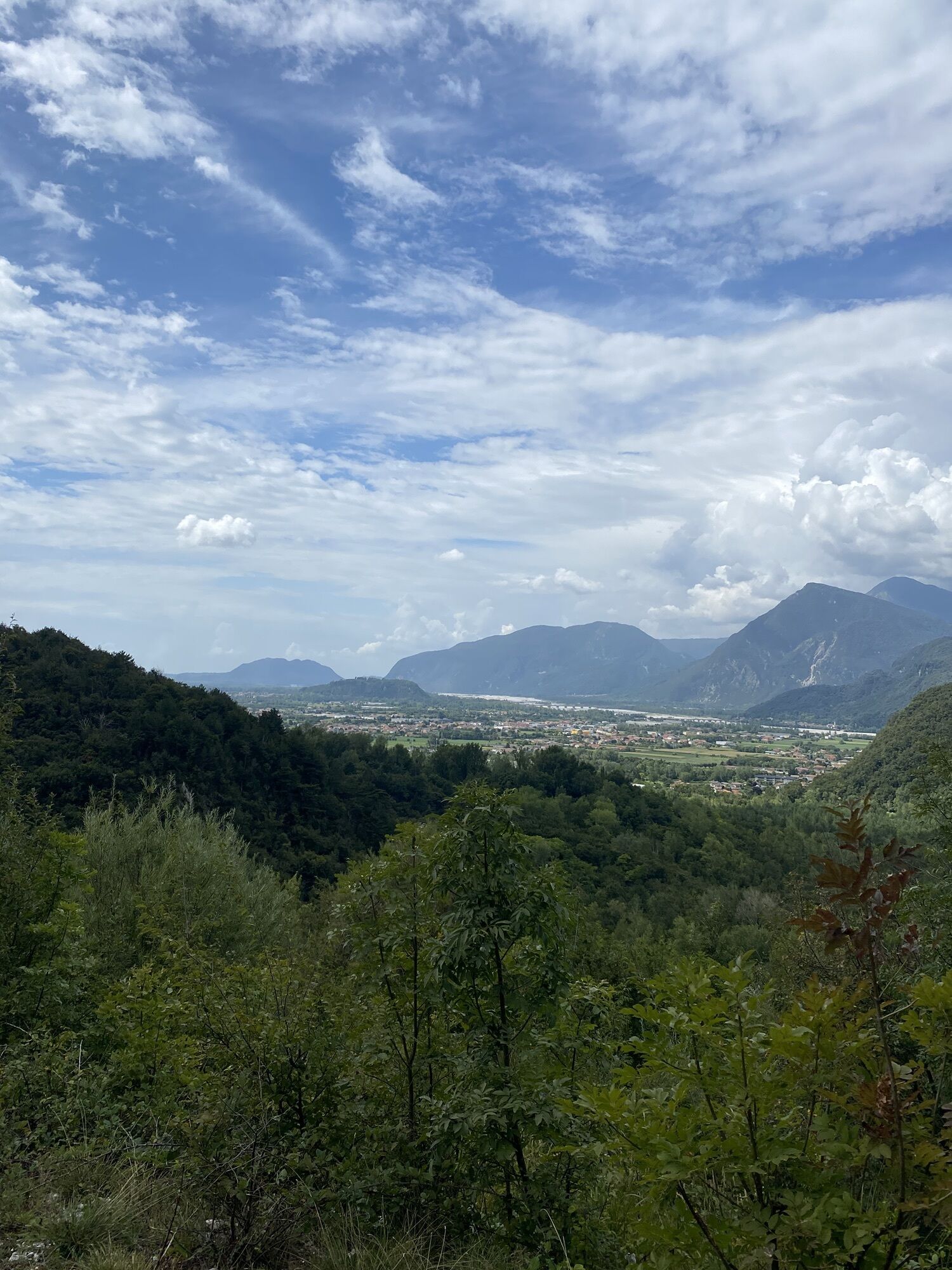
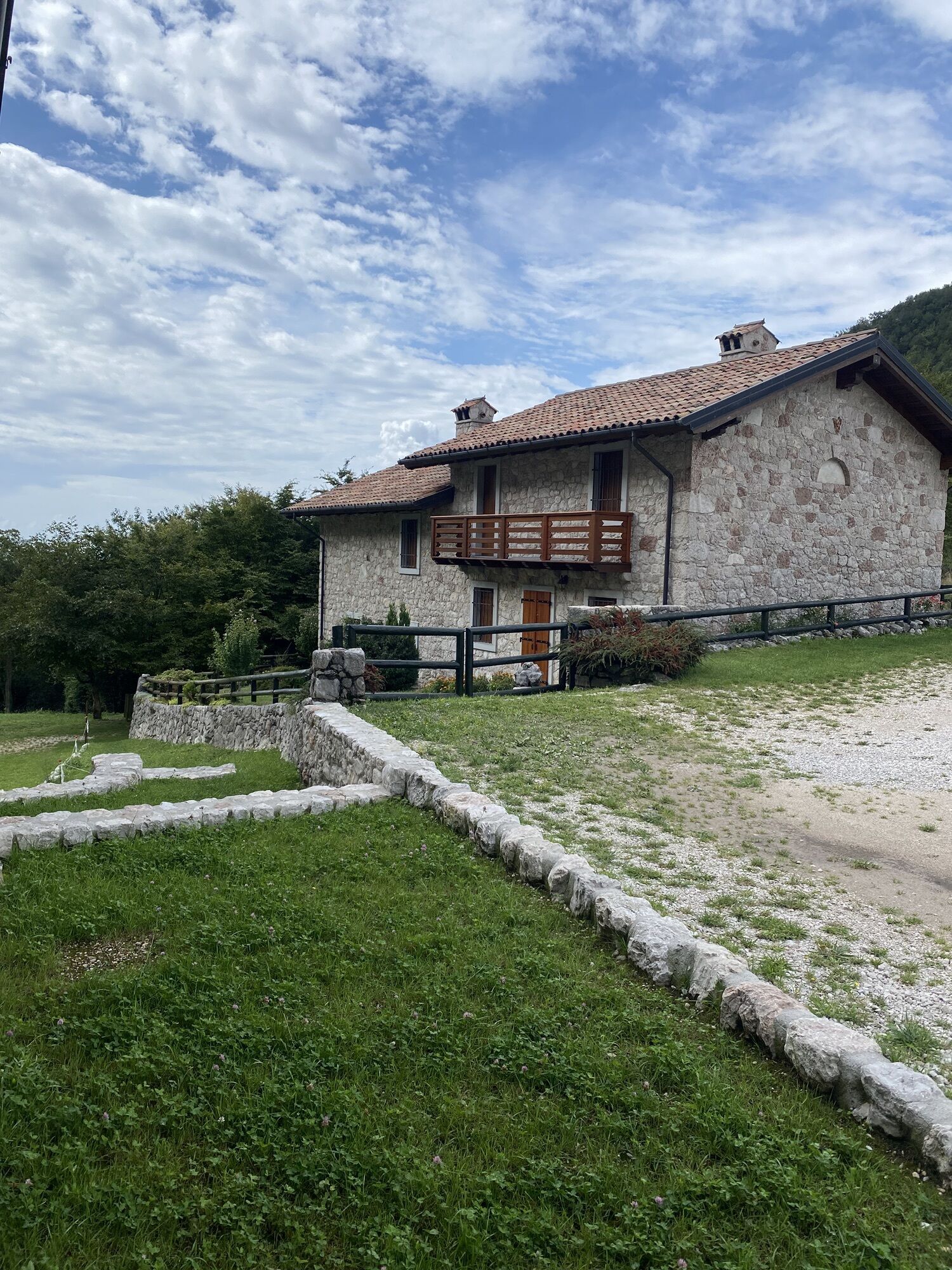
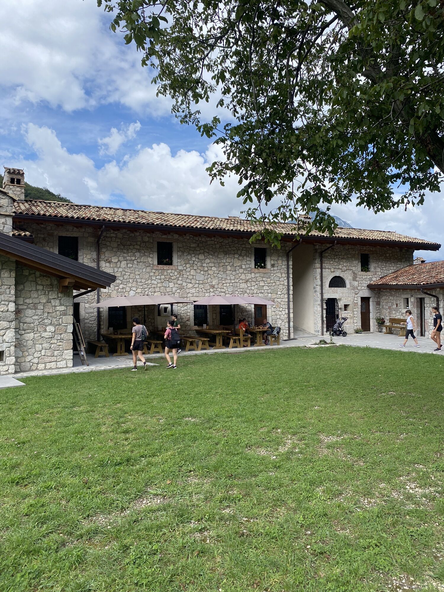
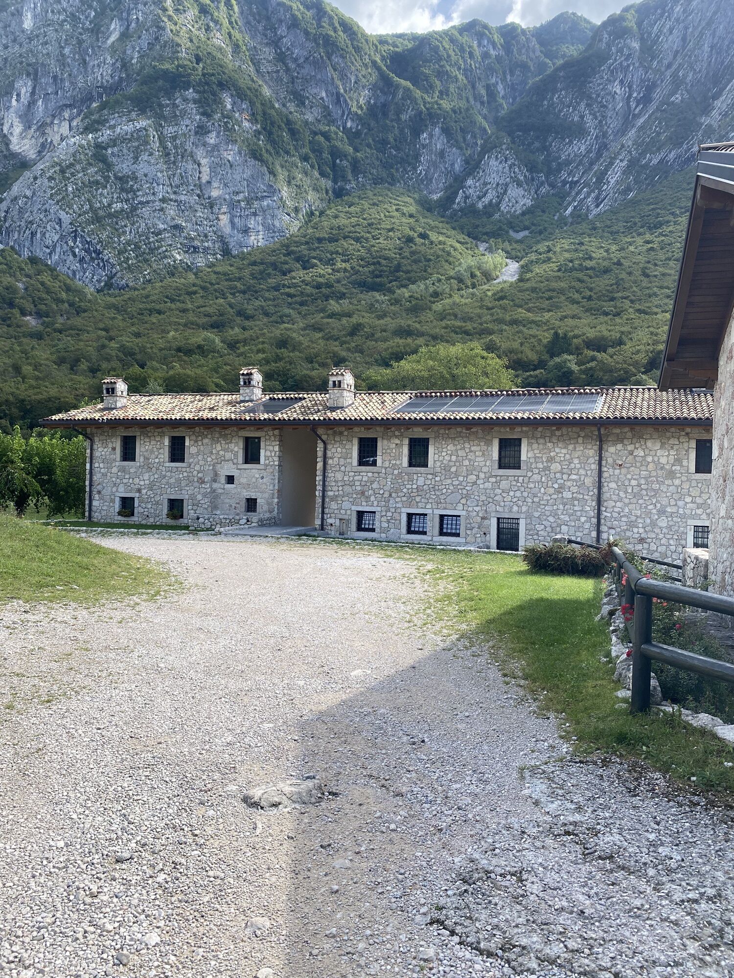
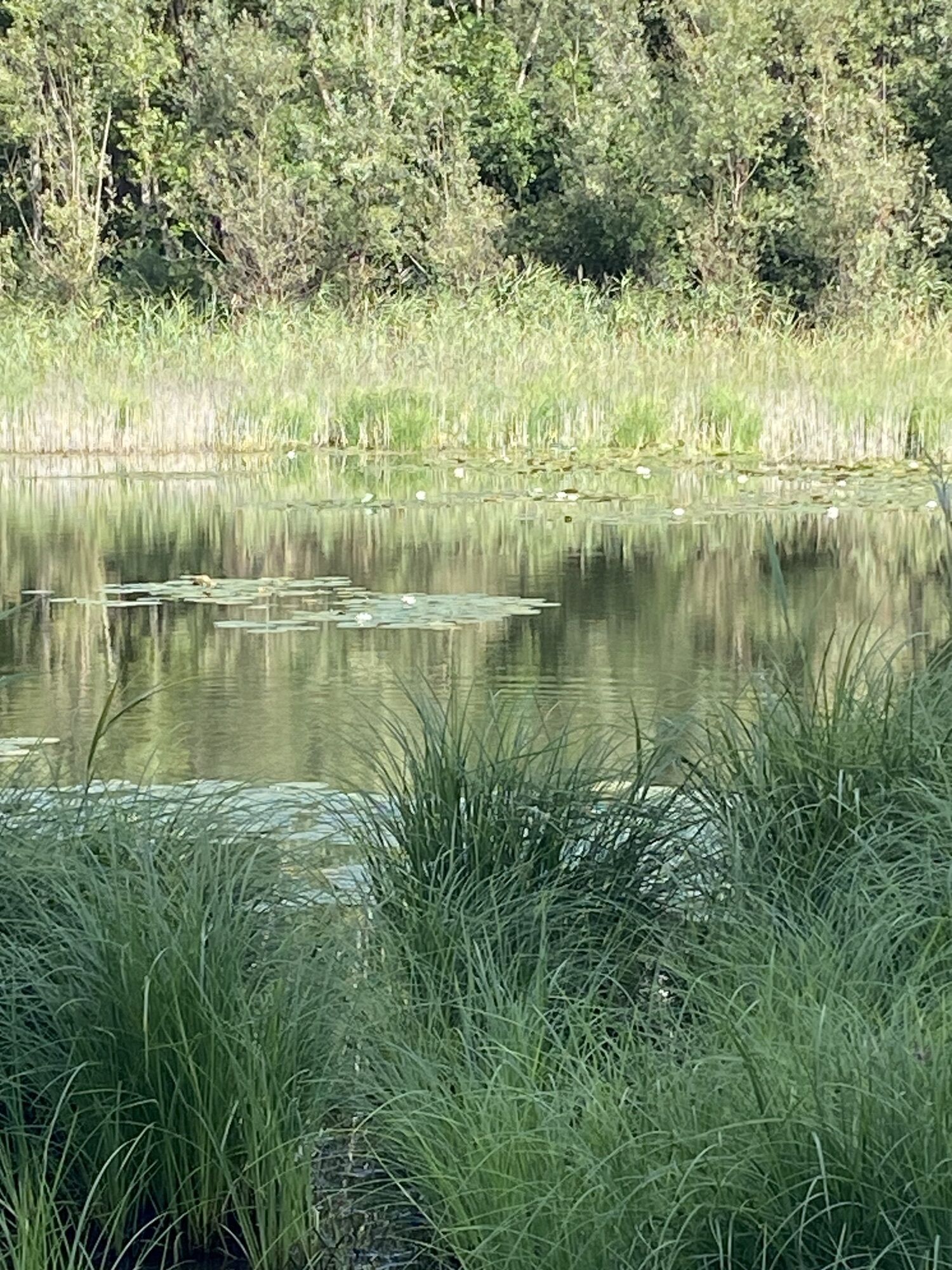
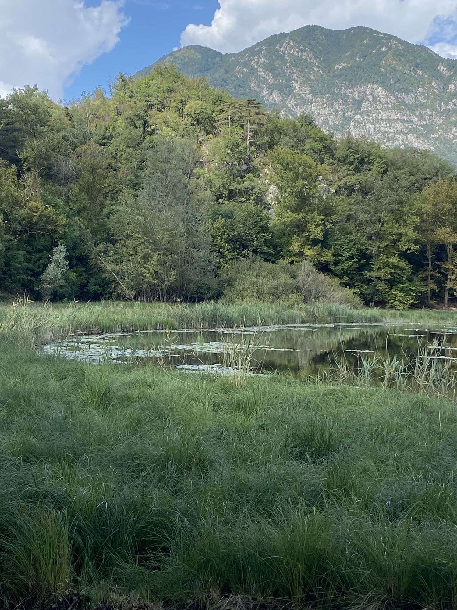
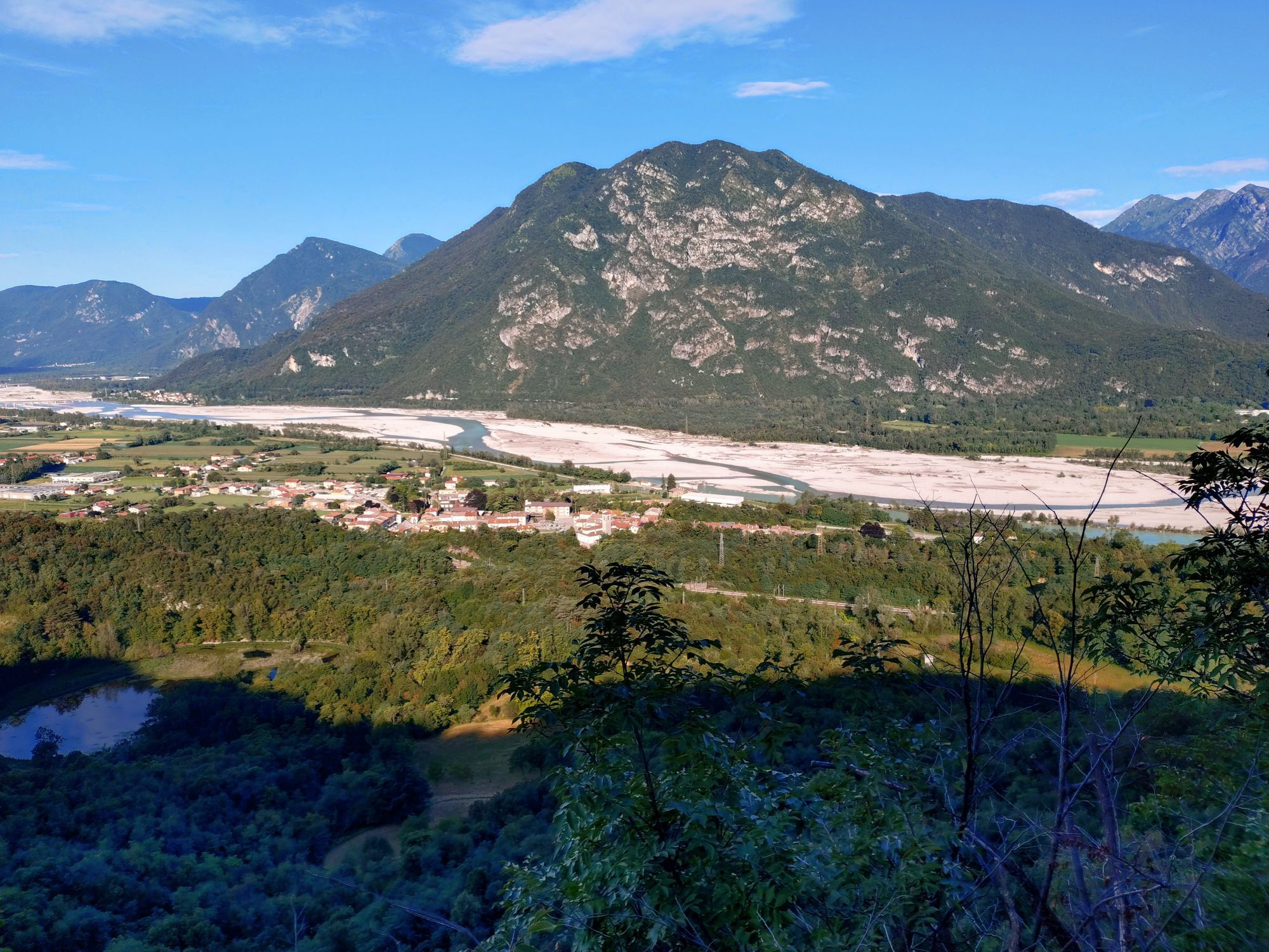
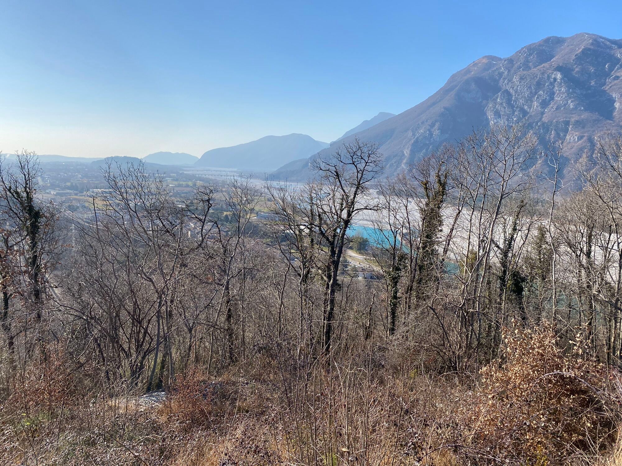
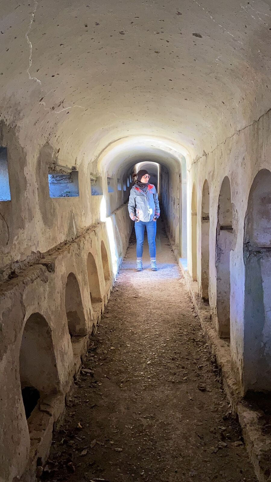
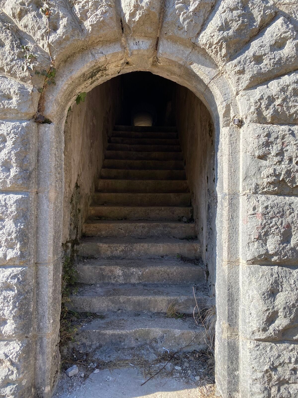
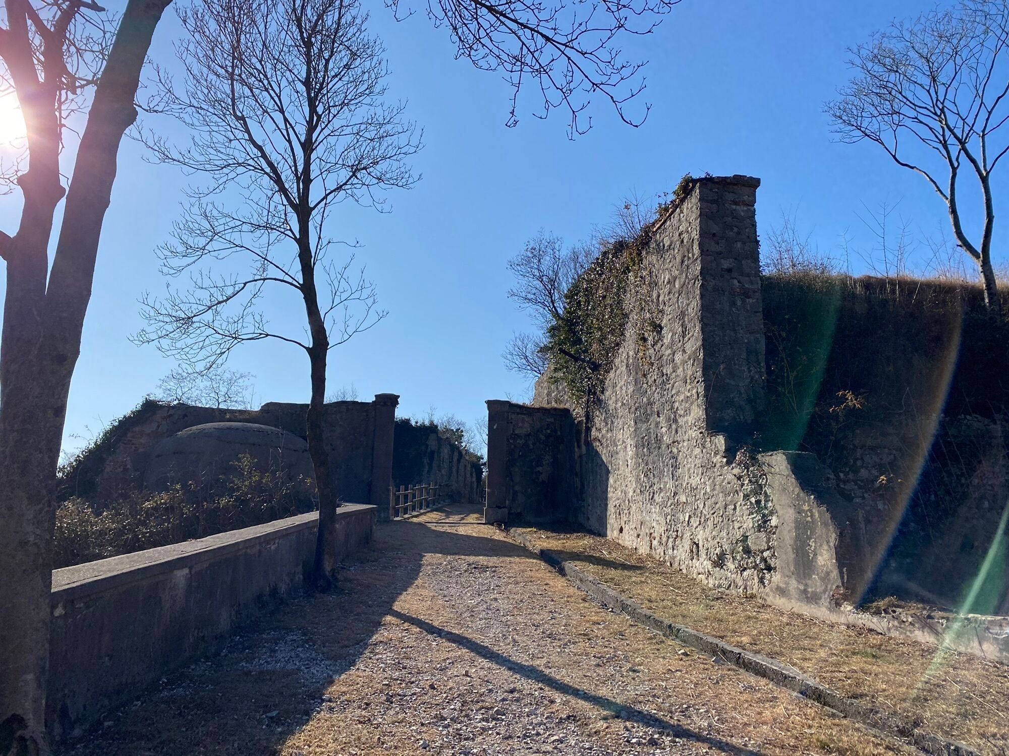
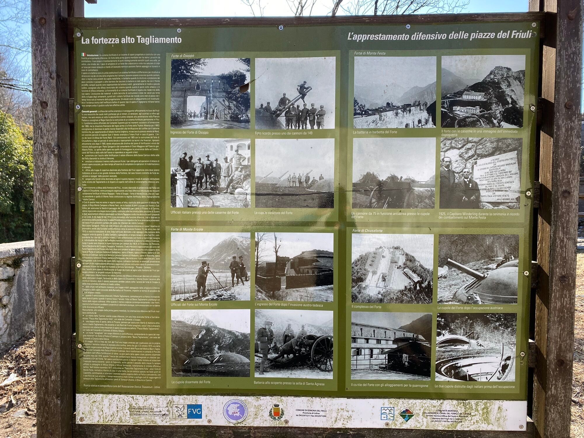
This loop trail, one of the most popular among the people of Gemona, packs some of the most evocative views of the Friulian foothills into just a few kilometres. From the Laser Recreation Centre, the route climbs along a comfortable dirt track to Sella Sant’Agnese, a splendid natural viewpoint overlooking Gemona, the Tagliamento River and the Julian Pre-Alps. A short climb leads to Pianetto del Cumieli, the highest point of the route, from where a pleasant panoramic descent begins towards Ospedaletto. Along the way, you will encounter an ancient cobbled section, the remains of Forte di Monte Ercole and the peaceful Lago Minisini. After crossing the characteristic Borgo Molino, a final climb leads back to the starting point, completing a smooth and scenic route rich in natural and historical charm.

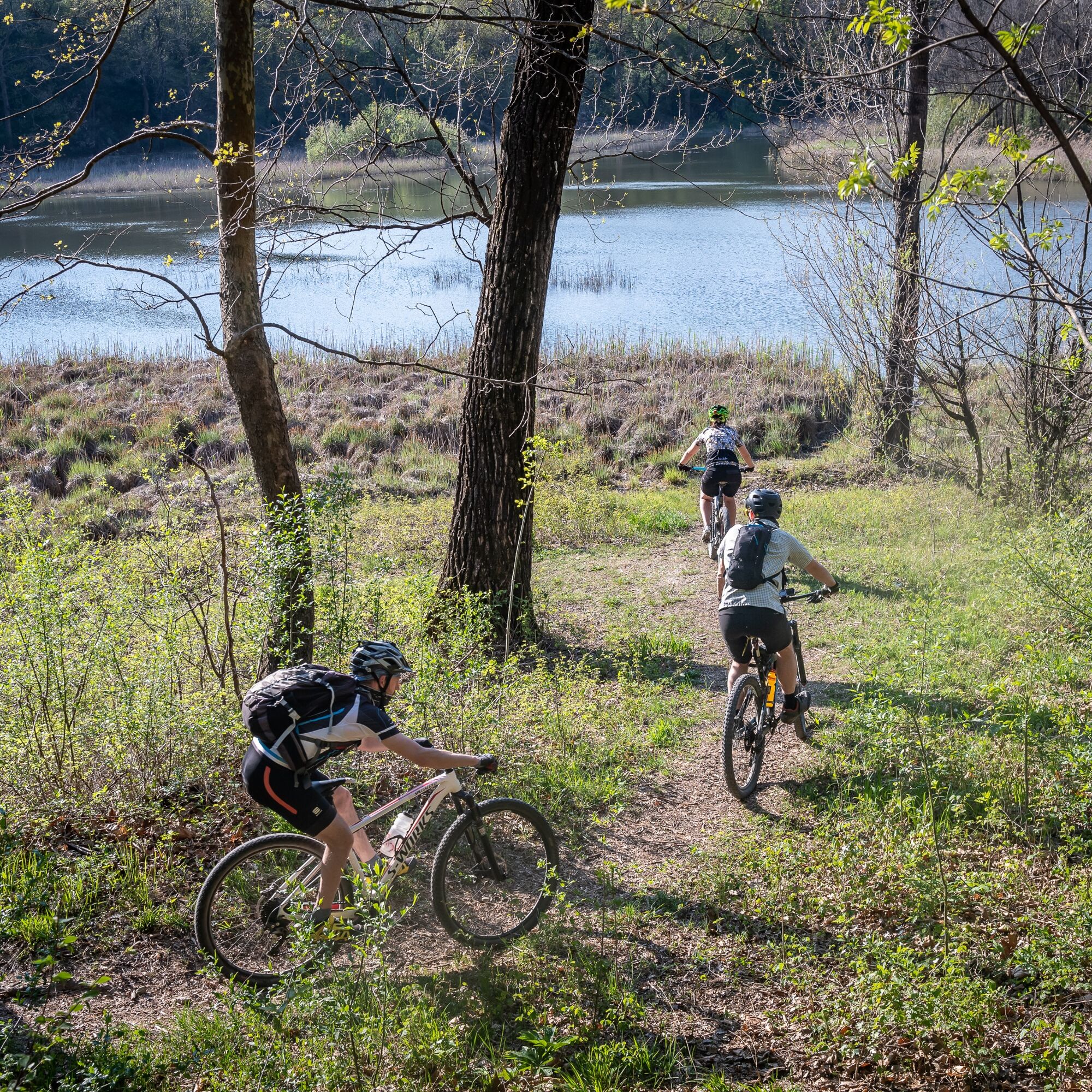

From the L'A.S.eR. leisure centre, head towards Sella Sant'Agnese.
Take care when cycling down the cobbled street
Gemona del Friuli è raggiungibile in autostrada A23, uscita Gemona-Osoppo
The L A.S. e R. leisure centre is about a 20-minute cycle ride from the railway station on the Trenitalia Udine–Tarvisio line.
Parcheggio vicino al parco ricreativo e al Pump Park
■
This route is the best short trail for those who want to discover the area around Gemona without tackling long distances or demanding elevation gains.
Aktivity počas prehliadky

Obľúbené výlety v okolí
-
4,9
FVG1 Cyklotrasa Alpe Adria (C100)
strednáDiaľková cyklotrasa 176,7 km -
4,7
Tarvisio - Gorizia: z hôr do viníc (CX01)
strednáDiaľková cyklotrasa 155,8 km -
4,3
Monte Festa, a mountain rich in history
strednáTuristika 13,5 km -
3,4
10 thousand health steps FVG -CAVAZZO CARNICO AND BORDANO
svetloTuristika 8,68 km -
4,7
Monte Cuar loop
strednáTuristika 7,26 km -
5,0
Venzone - Udine (C102)
strednáDiaľková cyklotrasa 56,7 km -
4,7
Loop of Val Venzonassa
strednáTuristika 9,74 km -
5,0
Monte Stella, medzi malými dedinkami a širokými výhľadmi
svetloTuristika 9,18 km -
4,0
Hora Cuarnan
svetloTuristika 4,81 km -
4,5
Waterfalls trail in the valley of the Orvenco stream
strednáTuristika 8,90 km
Turistika a stopovanie


Nenechajte si ujsť ponuky a inšpiráciu na ďalšiu dovolenku
Vaša e-mailová adresa bol pridaný do poštového zoznamu.





