


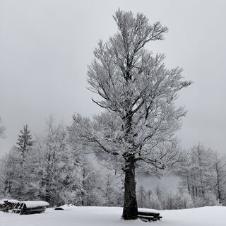
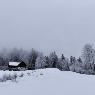
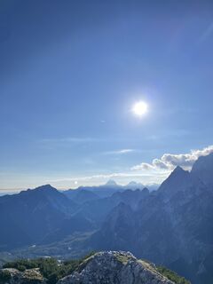
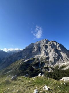
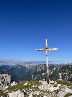
Jof di Somdogna
Fotografie našich používateľov
-

 © Daniele Da RioVytvorené dňa 25.12.2025
 -
 © Daniele Da RioVytvorené dňa 25.12.2025
 -
 © Daniele Da RioVytvorené dňa 25.12.2025
 -

 © kschneiderVytvorené dňa 06.09.2025
 -
 © kschneiderVytvorené dňa 06.09.2025
 -
 © kschneiderVytvorené dňa 06.09.2025
 -
 © kschneiderVytvorené dňa 06.09.2025
 -
 © kschneiderVytvorené dňa 06.09.2025
 -
 © kschneiderVytvorené dňa 06.09.2025
 -
 © Martina OitzingerVytvorené dňa 30.10.2021
 -

 © Mono_XVytvorené dňa 03.02.2024
 -
 © Mono_XVytvorené dňa 03.02.2024
 -
 © Thommy MaurerVytvorené dňa 29.10.2023
 -
 © Thommy MaurerVytvorené dňa 29.10.2023
 -
 © Thommy MaurerVytvorené dňa 29.10.2023
 -
 © Thommy MaurerVytvorené dňa 29.10.2023
 -
 © Thommy MaurerVytvorené dňa 29.10.2023
 -
 © Thommy MaurerVytvorené dňa 29.10.2023
 -
 © Ewald HieblVytvorené dňa 31.05.2025
 -
 © Martina OitzingerVytvorené dňa 13.08.2023


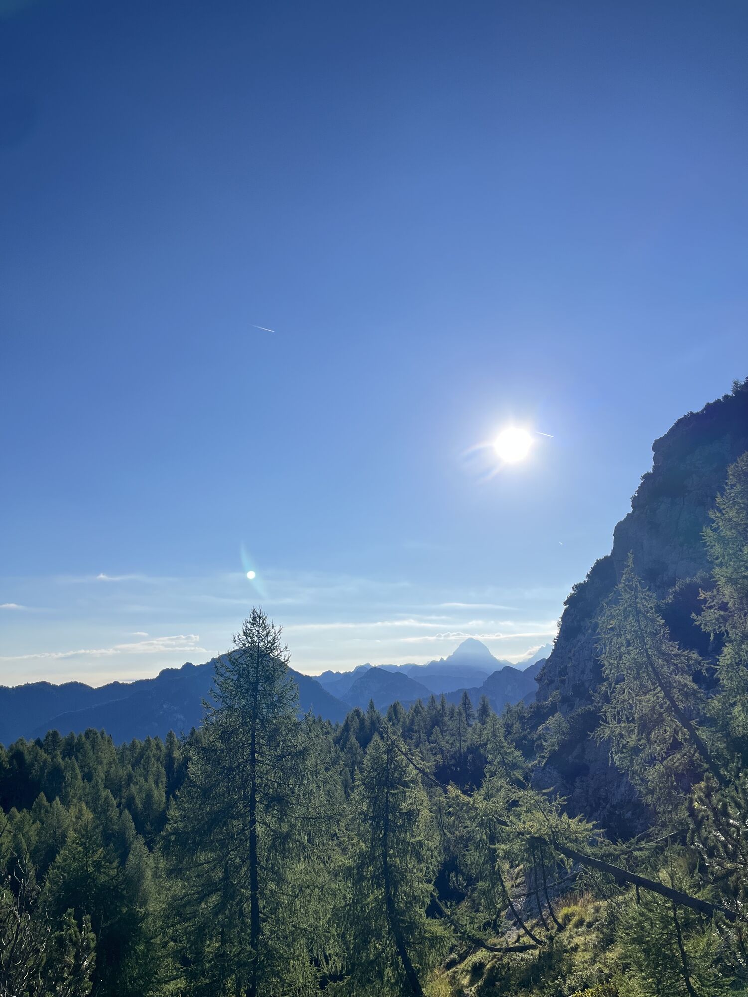
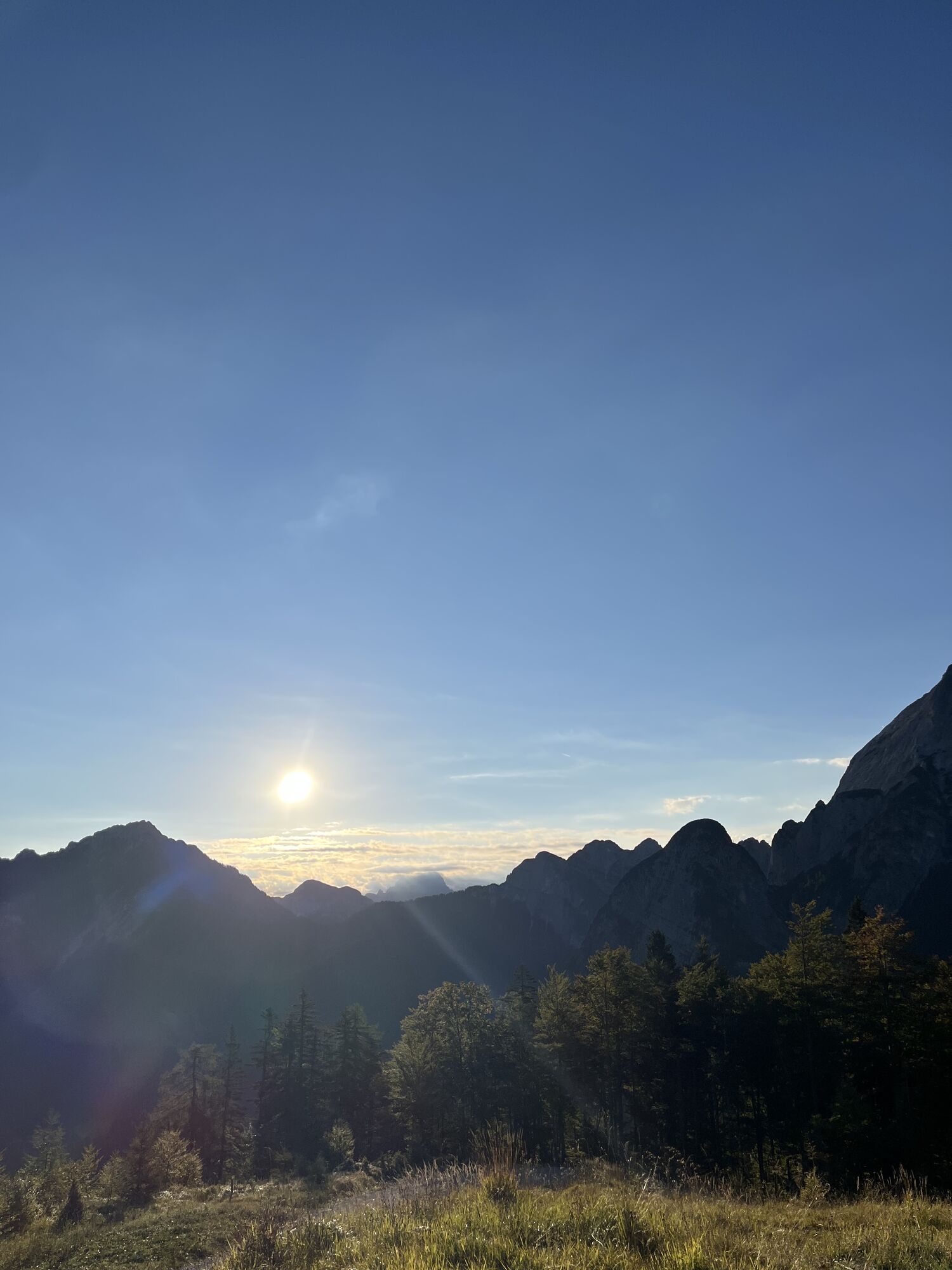


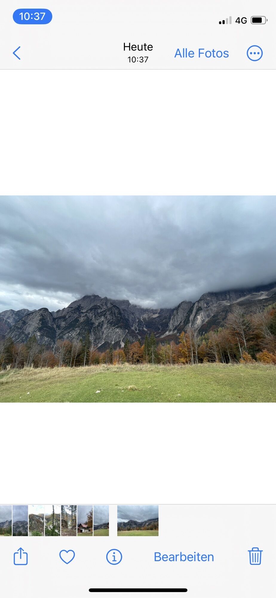


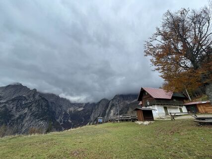
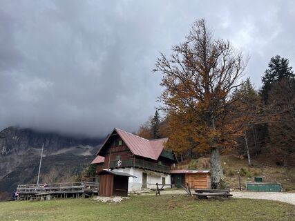
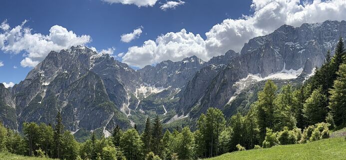
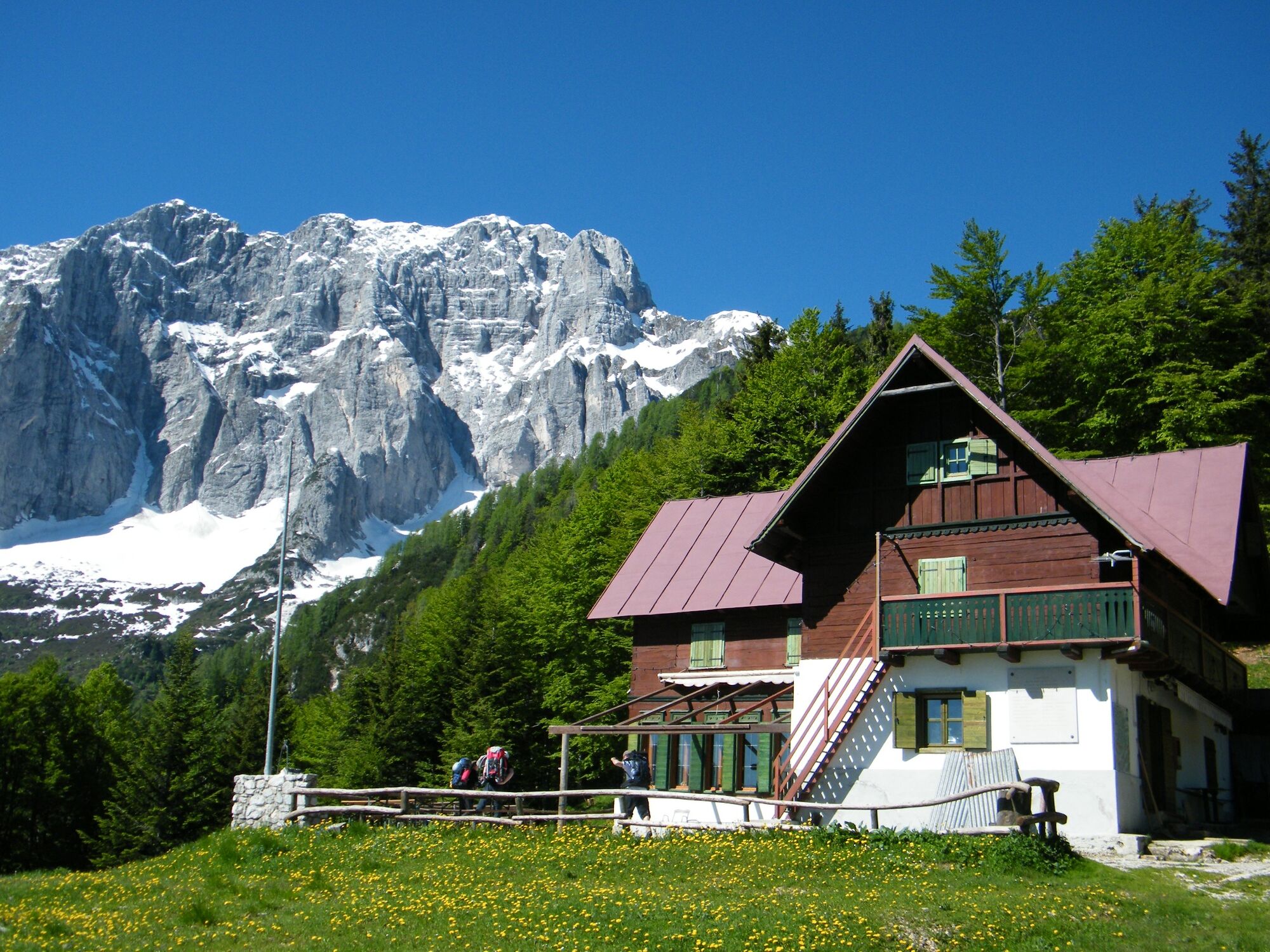
From the Malga Saisera car park (payment required in summer), go round the small chapel dedicated to the memory of a young local woman, Laura Florit, and take the path marked Cai 611 that climbs directly...
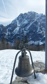
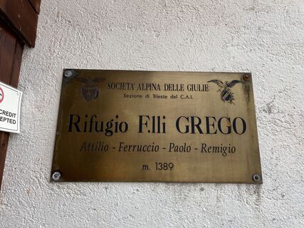
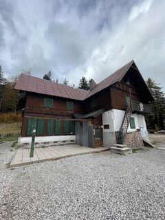
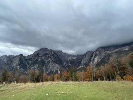
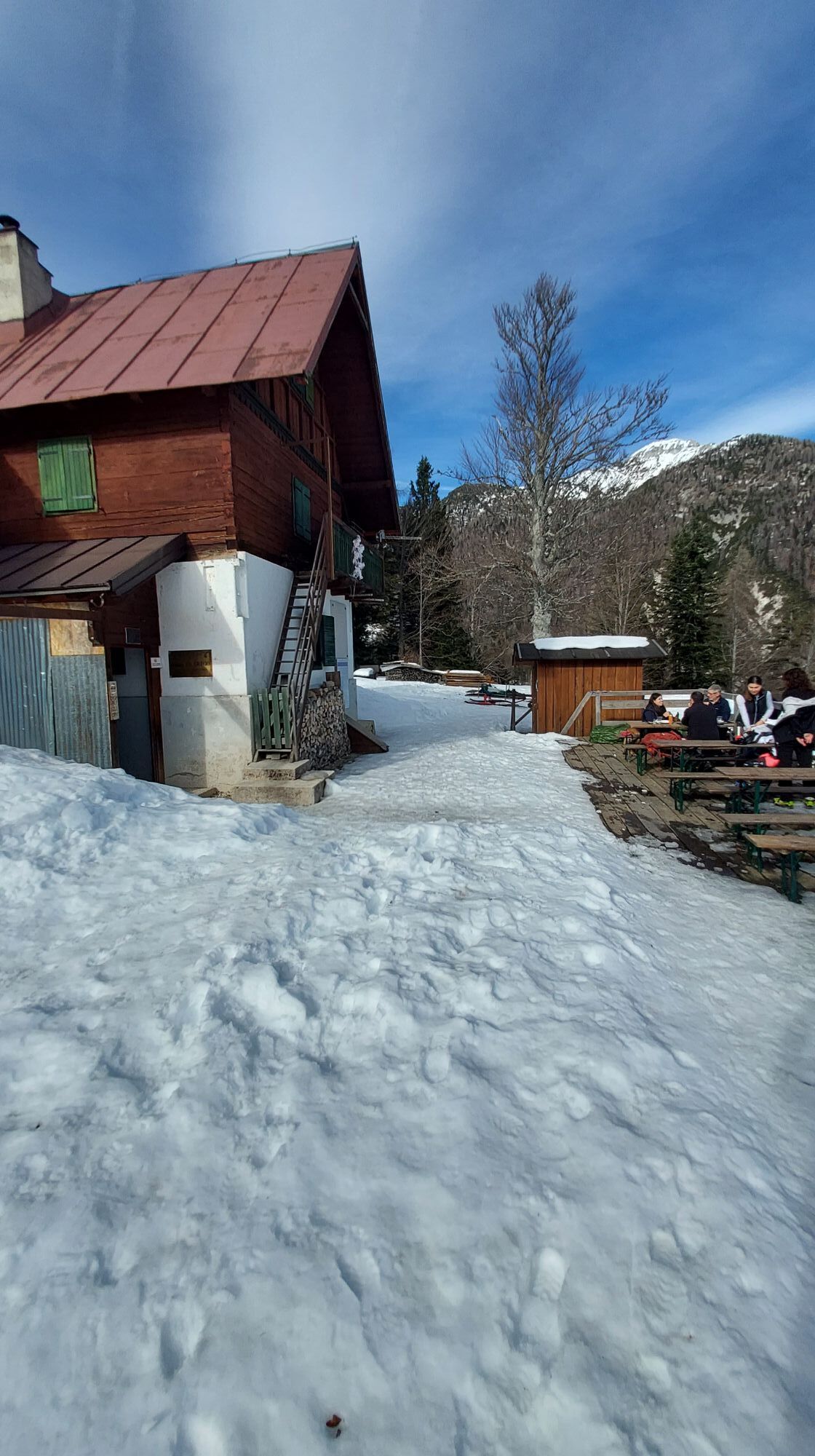
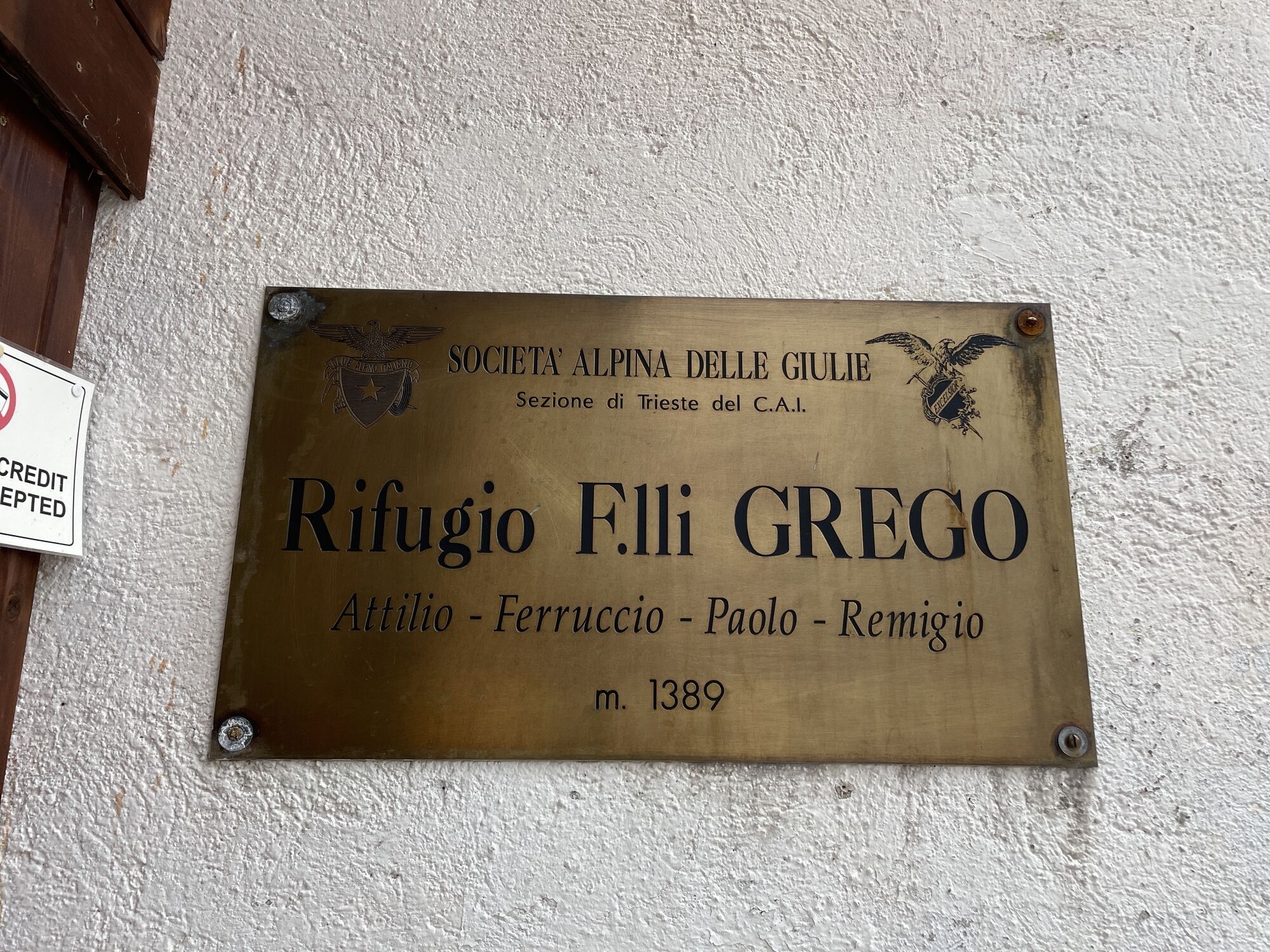
From the Malga Saisera car park (payment required in summer), go round the small chapel dedicated to the memory of a young local woman, Laura Florit, and take the path marked Cai 611 that climbs directly towards a wooded ridge, almost on the edge of the Plania valley, dominated to the north by the wild Monte Nero and Strechizza and, further west, by the Jôf di Miezegnot, thus avoiding the numerous hairpin bends of the long forest track that gives access to the Fratelli Grego hut (1,389 m). The walk takes place among magnificent trees, especially beech trees with gnarled roots exposed by the many passages on the path, and the Cai 611 signpost abandons just behind the refuge, which deserves a stop to enjoy the beautiful panorama of the Nabois and the Spragna (1 hour). You now take the path again, following the Cai 651 signpost that climbs directly into the wood, ignoring both the little road that goes to the right and the path that goes to the left and soon reaches the plateau where the little lake lies on its left bank. Continuing in a southerly direction, you cross the path coming from the Sella di Sompdogna saddle, marked Cai 610, and follow it to the left, finding yourself facing a steep stretch that climbs the northern slope of the Sompdogna and leads to a sort of suspended basin where you will come across other artefacts of wartime barracks. Amidst mountain pines and sparse larches, we now continue more gently in view of the summit, on which there is a summit race, following a wartime mule track. The last section rises again towards the summit (1889 m, 2.30 hrs), encountering more war posts and the small observatory of the 36th Field Artillery Regiment. From the summit, start your descent heading southwards and, following the same path, zigzag down through the dense mugo thicket until you reach the crossroads at Foran de la Grave with path no. 652, which you follow to the left as you continue to ascend. At an altitude of 1609 metres, a path bends sharply to the left where a track with red and white markings descends towards the Fossa di Carnizza. Less experienced hikers, on the other hand, can follow, as an alternative to this less easy track, the main one that descends in traverse to an altitude of 1400 metres, from where the path marked 611 begins, descending to the bottom of the Fossa di Carnizza. From here, you can choose to continue along the 611, carefully leading back into the forest, with a few steep sections, to the Grego hut and from there to the car. Or you can take the path marked Cai 639, which runs along the orographic left of the Fossa di Carnizza with a few crossings of fill gravel. Taking care not to lose the track in the forest and the red and white markings, with stretches on accentuated slopes, you reach the final track of a forest track at an altitude of about 1,000 metres. Follow it until you come to the large gravel bed of the Torrente Saisera (Saisera Torrent) and the Cai 616 trail marker, which you follow to the left, regaining, after about one kilometre, the car park where you left your car. (4.30 hours).

Áno
From Valbruna take the road into Valsaisera and follow it to its end. Ample parking is available. Toll road during the summer and winter seasons.
Large car park at the starting point.
Near the car park, just before the bridge, there is a fountain (the only point for refilling water, apart from the refuge).
Obľúbené výlety v okolí
-
4,7
Tarvisio - Venzone (C101)
strednáDiaľková cyklotrasa 64,7 km -
4,9
Monte Lussari über den alten Pilgerweg
strednáTuristika 6,43 km -
4,9
Orrido dello Slizza, Tarvisio, Italië
svetloTuristika 2,65 km -
4,5
Monte Lussari
strednáSkitour 10,7 km -
4,3
Cima di Terra Rossa
Turistika 4,90 km -
4,2
Monte Santo di Lussari, Skitour, Pilgerweg
strednáSkitour 9,35 km -
4,0
Jof di Miezegnot 2087m (Malborgether Mittagskofel)
Turistika 9,90 km -
4,4
Cacciatore
svetloSkitour 10,8 km -
5,0
Prestreljenik Window (2390 m) – dramatic view of the Western Julian Alps
strednáSkitour 14,5 km -
4,9
Monte Santo di Lussari / Svete Višarje / Luschariberg - Monte Lussari - Cima del Cacciatore - Rifugio Locanda al Convento
strednáTuristika 5,18 km
Turistika a stopovanie


Nenechajte si ujsť ponuky a inšpiráciu na ďalšiu dovolenku
Vaša e-mailová adresa bol pridaný do poštového zoznamu.